
I had hiked in every prefecture surrounding Tokyo in the past 2 months except Ibaraki, last visited in April, so I felt it was a good time to explore more of the Hitachi Alps. The hike, from my Mountains of Ibaraki guidebook, was about 4 hours long, perfect for a short and cold winter day. I could get to the start of the trail by riding a limited express from Ueno, then switching to a local train in Mito, and finally catching a bus from Omika station; I would walk back to the same station, so without needing to catch a return bus, I could take it easy. The weather was supposed to sunny in the morning and cloudy in the afternoon. The trail seem straightforward and I was looking forward to a relaxing hike in the low hills of Ibaraki.

Start of the trail for Mayumi shrine
It took about an hour to reach Mito city on the Hitachi Limited express. After changing to the local line, I got off at Omika station just before 10am, from where it was a thirty bus minute ride to the entrance of Mayumi shrine. Of the two approaches to the shrine, I chose to use the rear entrance (裏参道), instead of the front one (表参道). I walked for half an hour along a dirt road to a staircase and a grey stone shinto gate marking the start of the trail.
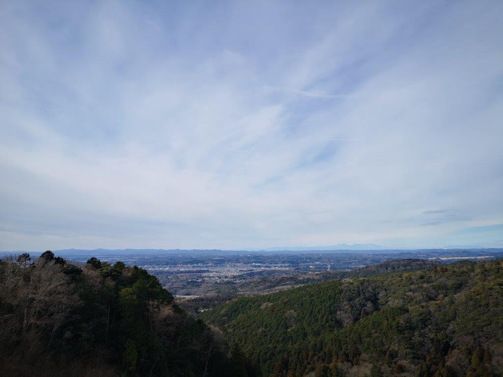
In the distance, the mountains of Oku-Nikko
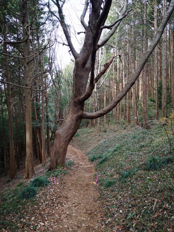
At 11h30, I reached a viewpoint towards on the west side. The sky was already overcast, but I could make out Mt Takahara and the Oku-Nikko mountains, 100 kilometers away; to the southwest, and considerably closer, was Mt Tsukuba. I continued on my hike and soon noticed many cedar trees towering overhead; I was surprised to see such beautiful forest outside a national park. A little after noon, I arrived at Mayumi shrine (真弓神社), a peaceful place in the middle of the forest.


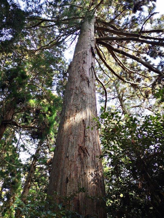
The very tall cedar trees surrounding Mayumi shrine
From the shrine, I walked down a path for a few minutes to a giant cedar tree. I couldn’t see the top, but according to a signboard it was 45 meters high; it was also nearly one thousand years old. After admiring this ancient tree, I made my way back to the trail. I soon reached a dirt road which I followed for a short while before getting back on to a level trail through the forest. At 1pm, I reached a bench with a view eastwards of the Pacific ocean through some pine trees, a good spot for a lunch break.
A little sun on a cloudy day

An easy to hike trail through beautiful forest

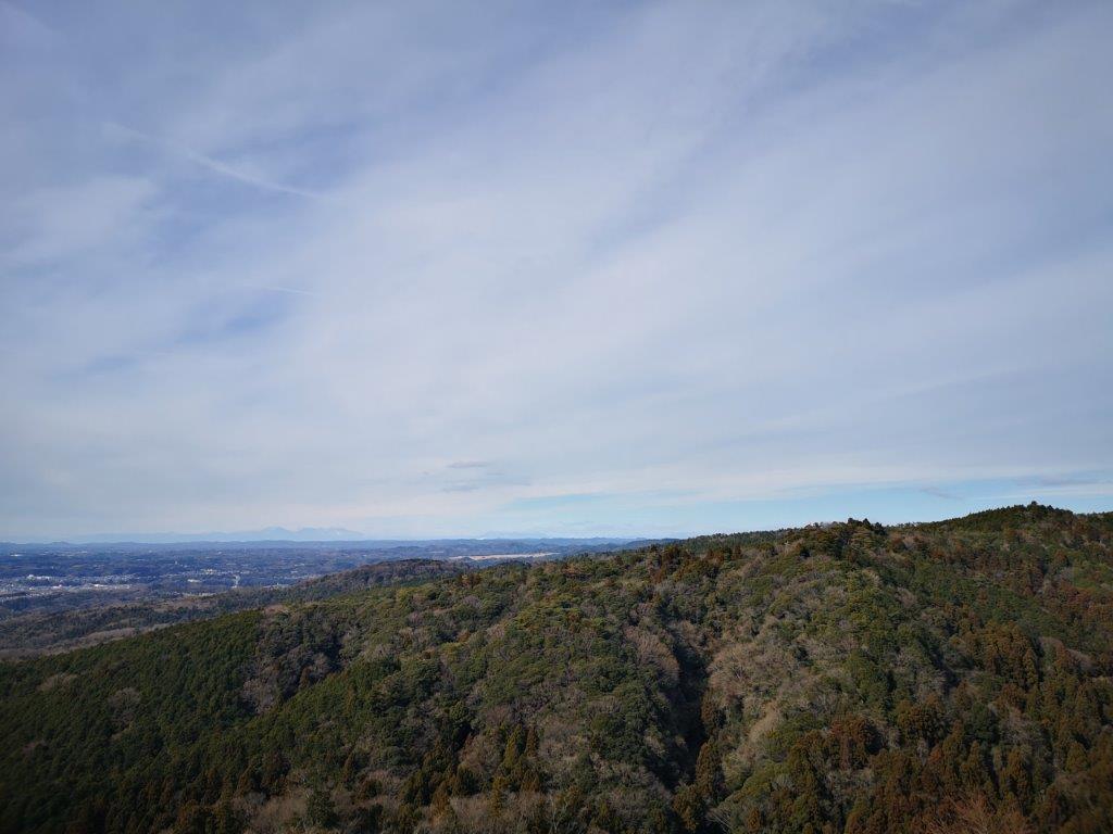
Westwards view of the Kanto plain
It was still cloudy and a little cold so I soon moved on again. I started to walk downhill and at 1h30 reached another viewpoint, this time to the southwest . I could see the flat Kanto plain with Mt Tsukuba in the distance. The path suddenly became wide and easy to walk. One hour later, I reached the highest point of Mt Kazenokami (風神山 かぜのかみやま kazenokami-yama) inside the Kaze-no-Kami-yama Nature Park. It was completely in the trees, but a few minutes further, I reached a viewpoint to the East of Hitachi city and the Pacific Ocean.

Looking East towards the Pacific Ocean
It took only twenty minutes to get to the base of the mountain. Since it was only 3pm, I decided to visit the newly opened and free Hitachi Origin Museum (see video), conveniently on the way to the station. I learned about the founder of Hitachi, Namihei Odaira, and had some fun with the interactive displays. I arrived back at the station just after 4 pm and after riding the local line to Katsuta station, I transferred to the limited express for the one hour ride back to Tokyo.
See the interactive displays of the Hitachi Origin Park

