I hadn’t been to Chiba since March 2019, because so many trails had been damaged by the powerful typhoons of 2018 and 2019. I found a hike from my guidebook relatively close to Tokyo, in the northern half of the Boso peninsula. The trail seemed to be in good condition, although a bit short for a day trip. Luckily, it could be extended, if needed, since it was on the Kanto Fureai no Michi. I wouldn’t be hitting any summits, but instead following a path with the intriguing name of “Green Path” and ending at a Buddhist Temple in the middle of the forest. I could take a bus from Mobara station to Chonan town, about a couple of kilometers from the start of the hike; at the end, I could catch a different bus back to the station. The weather was supposed to be sunny in the morning and afternoon, with a cloudy period around noon. I was excited to revisit Chiba after a three year interval and enjoy some low-altitude winter hiking.
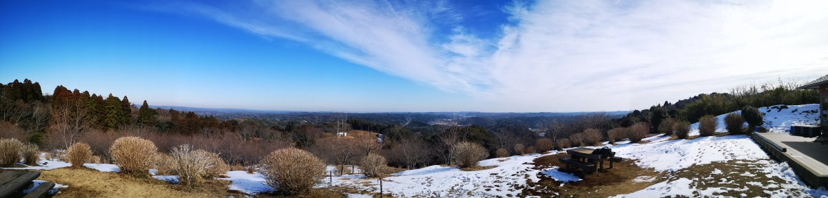
View of northern Chiba from Nomikin park
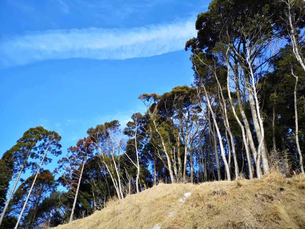
The very green Kasamori “Green Path”
It took about one hour on the comfortable Wakashio Limited Express to reach Mobara station, and then another half an hour by bus to get to Chonan town. I first headed downhill towards a wide flat area through which the Habu river flows. At around 10h30, I finally spotted a sign for the Fureai no Michi, leading onto a small road through the countryside. I was surprised to see snow and ice on the shaded sections and had to be careful not to slip, especially when the road started to lead up a slope.

Looking eastwards from the Nomikin park viewpoint

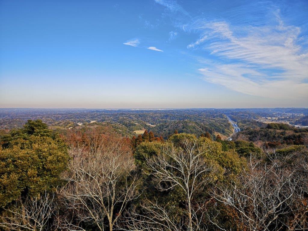
Looking northwards from the observation tower
The road became snow-free as it turned towards the sun. At 11am, I reached a breathtaking viewpoint at the top of a hill inside Nomikin Park (野見金公園). Although I was only about 120m high in an area without any remarkable features, I had an unobstructed view east and north; flat forest stretched away in the distance, divided by a highway through Mobara city ten kilometers away. I had a coffee at Miharashi Terrace, just next to the viewpoint, and then headed over to an observation tower on the next hill.
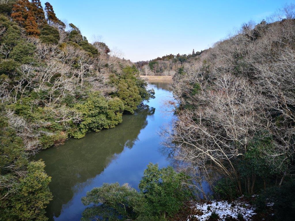
Kuramochi lake, a paradise for birds

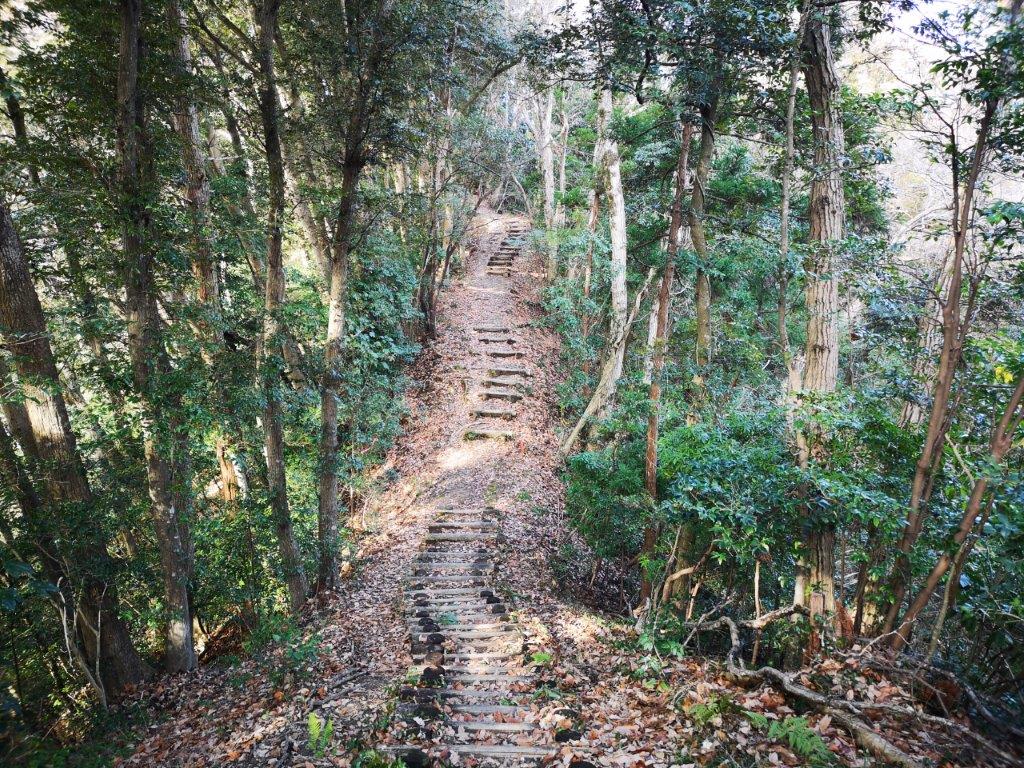
Heading up the “Green Path“
I had a fantastic 360 degree view from the top; on the west side, I could even see the snowy summit of Mt Fuji, 130 kilometers away. It was already past noon, so I continued on my way and soon reached Kuramochi lake. I was surprised to hear many kinds of birdsong while standing on the bridge over the lake (see video). Ten minutes later, I arrived at the start of the Kasamori Green Path (笠森グリーンルート kasamori green route). True to its name, the path was entirely surrounded by forest, as it followed a hilly ridge northwards. Although I didn’t get any views, I enjoyed the changing scenery from the top of each set of steps.


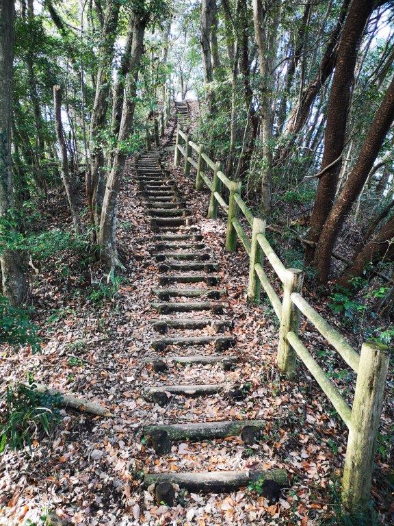

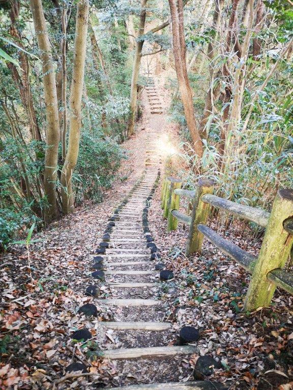
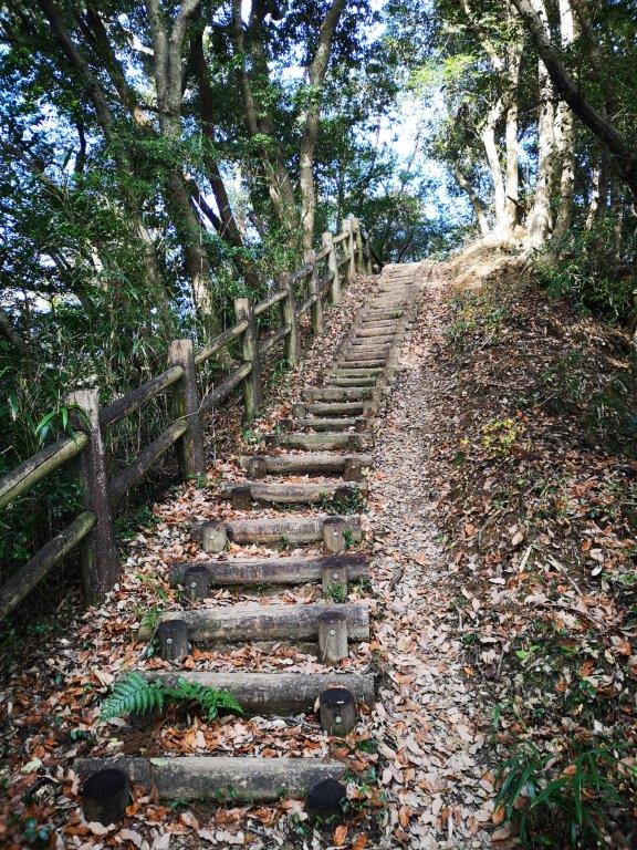
The many up and downs of the Kasamori “Green Path“

View of the Chiba countryside
After ninety minutes of up and down, I arrived at another observation tower. From the top, I could hear successive gongs from the bell tower of the closeby Kasamori temple, famous for its main hall built on top of wooden stilts. I gave up on a visit as it was quite crowded and rang the bell instead. Since it was only 2pm, I decided to continue north along the Fureai no Michi. I followed small, winding roads through charming countryside and reached my bus stop around 4pm; one hour later, I was back at Mobara station where I caught the limited express for the short ride to Tokyo.
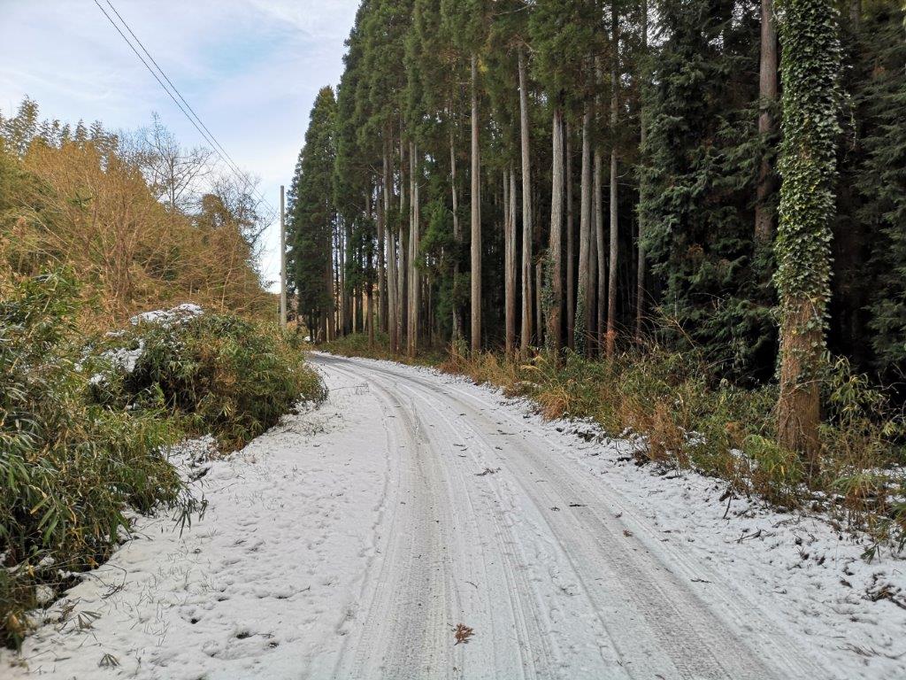
Some snow on the Fureai no Michi
Listen to the bell of Kasamori temple