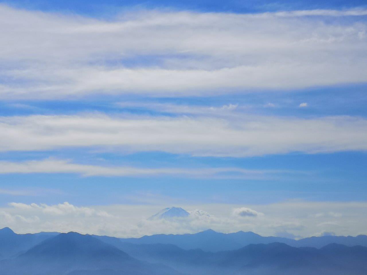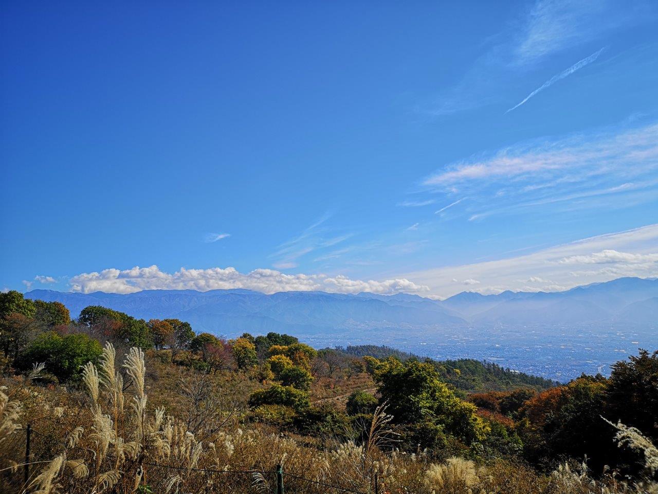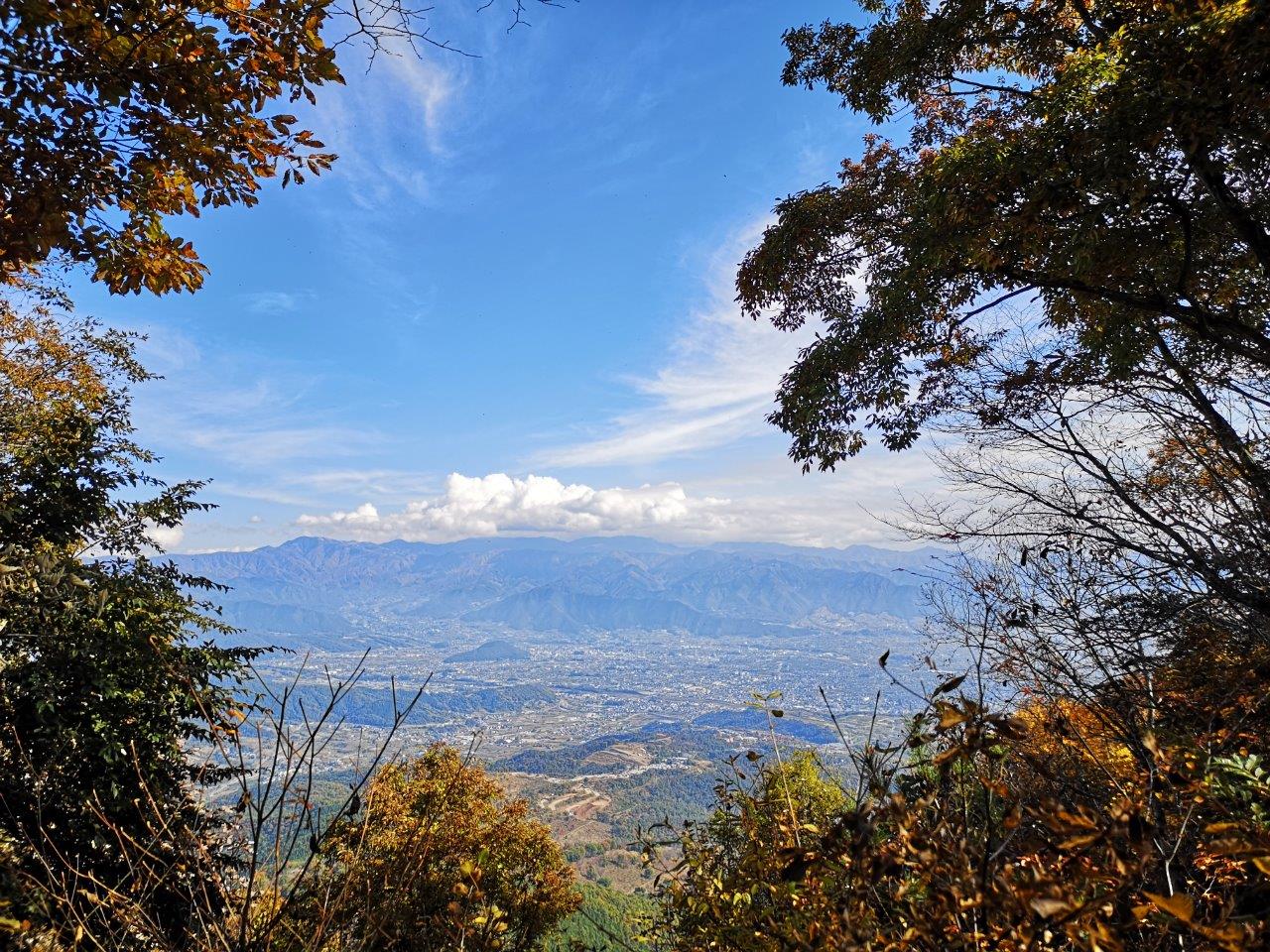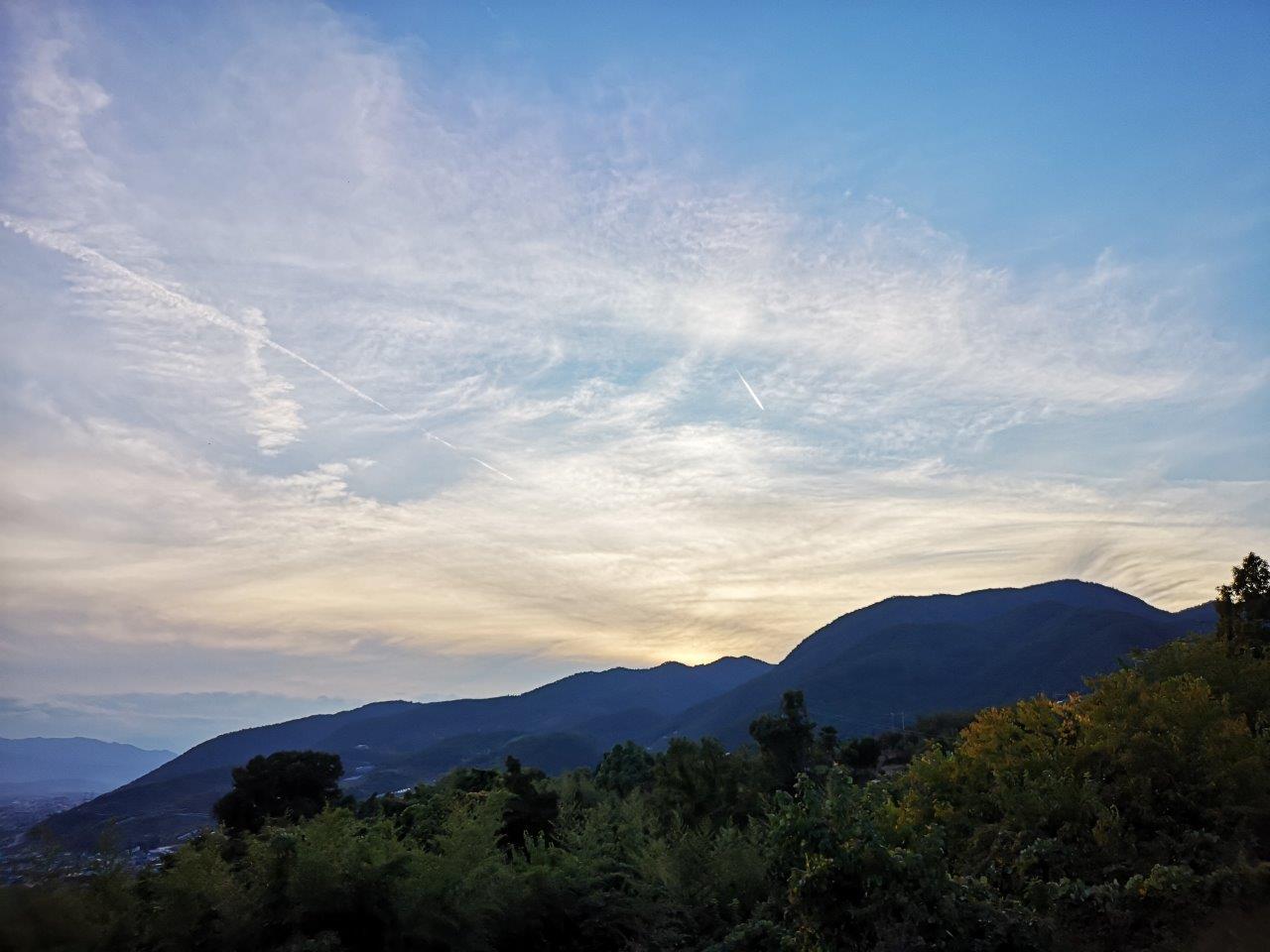
Mt Kozuke (448m) & Nosubari Viewpoint (634m), Ogose Town, Saitama Prefecture

Looking at my hiking map, I found another unexplored corner of “Oku-Musashi”: by connecting various local trails, I could make a loop in a hidden valley beyond the Seibu-Chichibu train line and the “Green Line” road. I would take the Tobu line to Ogose station, from where it was a short bus ride to the start of the hike, and return via the same way. It was a short hike so I could leave Tokyo mid-morning and still catch the last bus back around 5pm. The weather was unseasonably hot, and I was worried how comfortable I would be hiking at a low altitude; however, the skies would be mostly clear of clouds, so I could count on some good views.

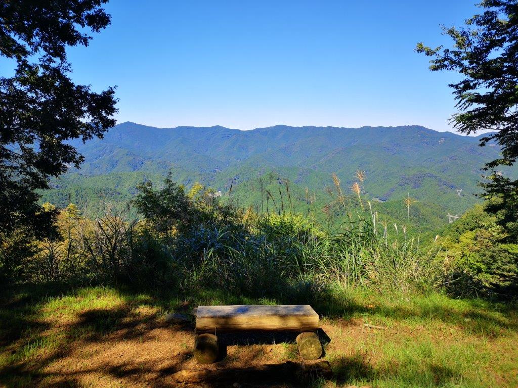
Lunch with a view from Moroto no Kuruwa

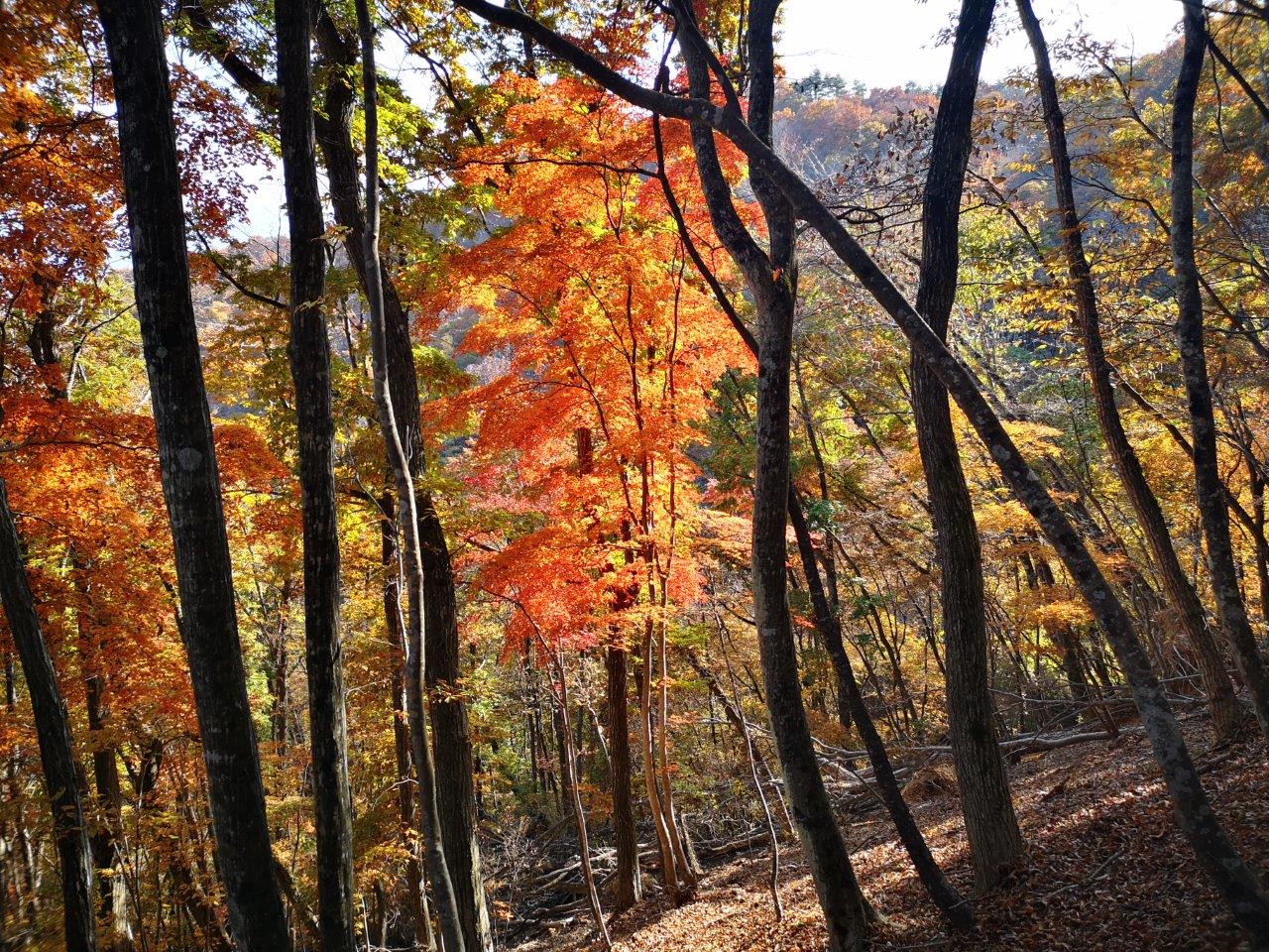
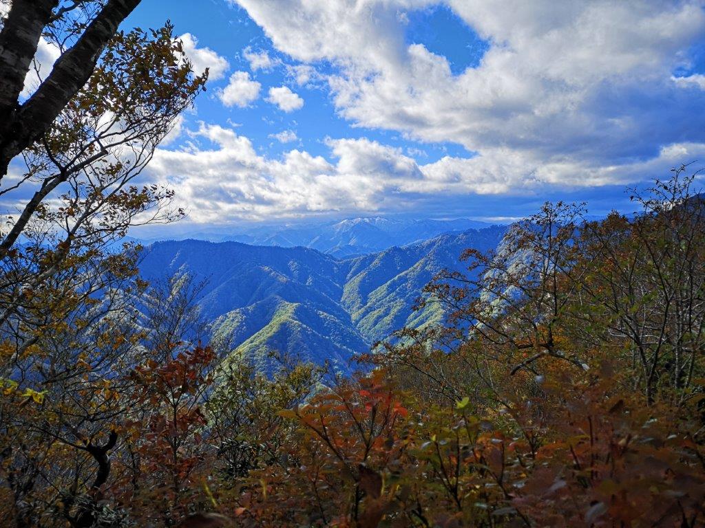
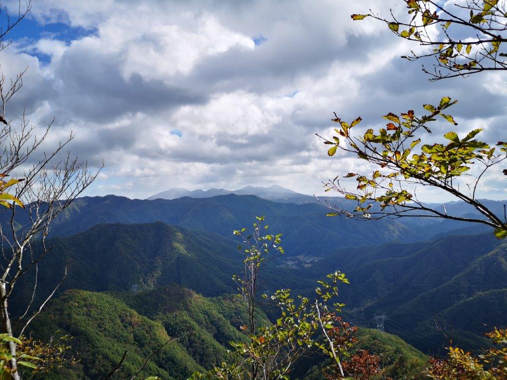
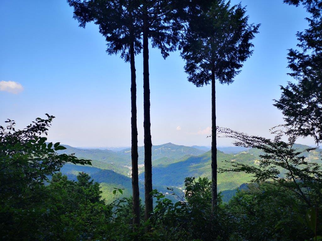
A peek through the trees below the summit of Mt Kozuke

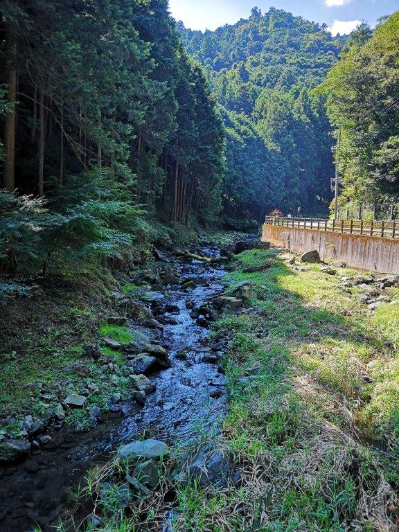
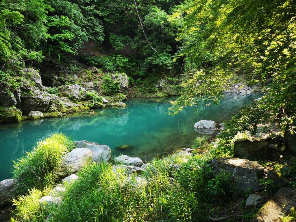
It was a short ride to Ogose, so I was comfortable even though, for once, I wasn’t on a limited express train. At 11am, I set off under a very hot sun. The first part of the hike was along a road next to a mountain stream. Along the way I stopped at a “Garden Terrace”, a kind of flower garden you can visit for free. It was officially closed at this time of the year, but the owner invited me in for some coffee and a piece of homemade cheesecake on their terrace in the middle of the garden. I was touched by their welcoming attitude, and after a friendly chat, I continued on my way.

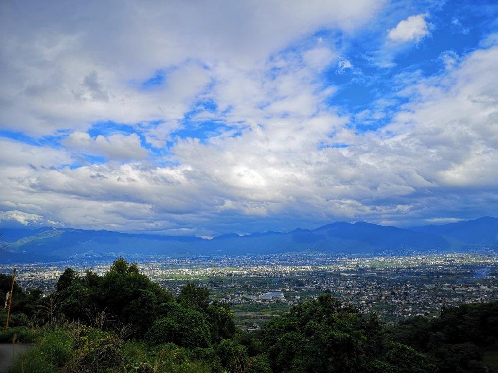
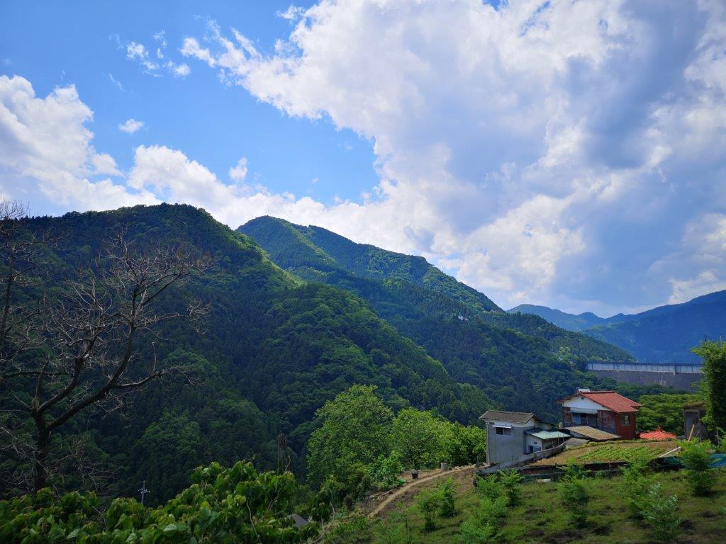
View from near the start of the Shiroyama hiking trail

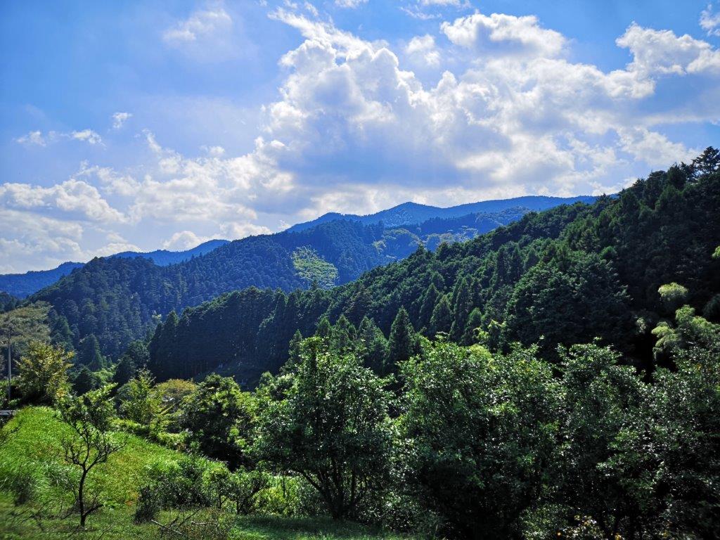
The hills of Tokigawa Town are also rich in hiking possibilities

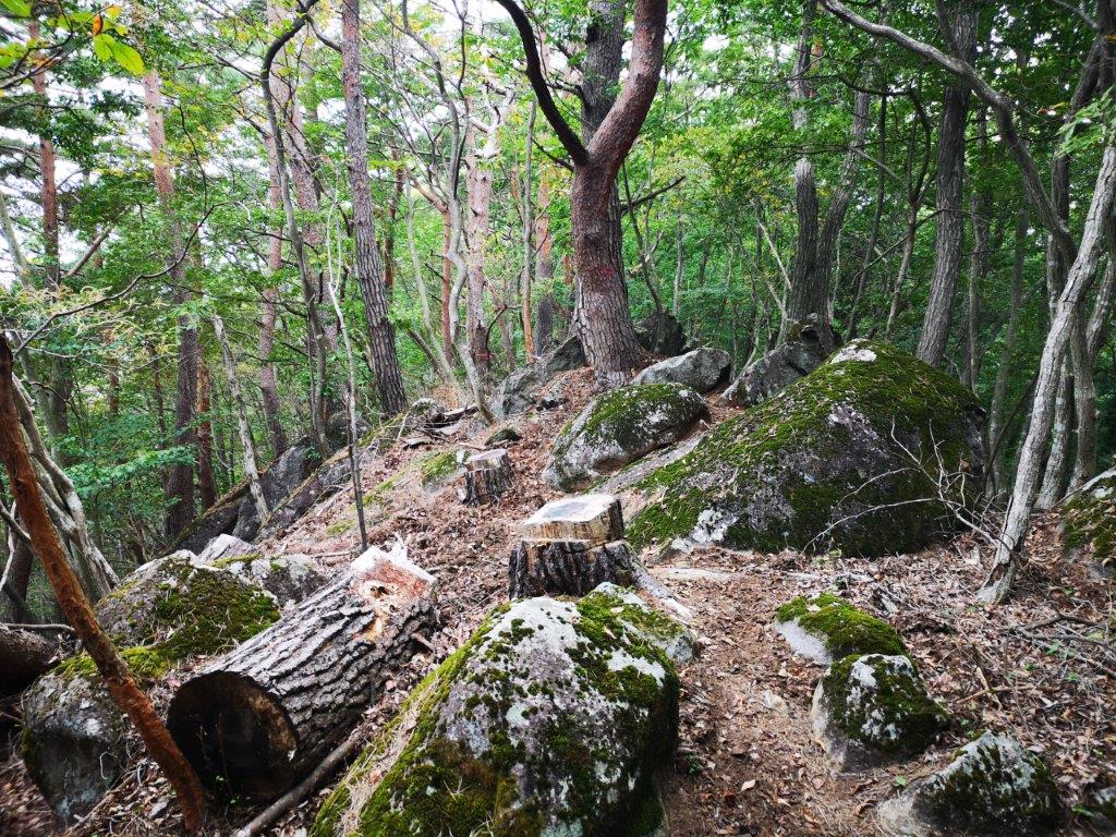
After an hour of easy road walking, I reached the start of the Shiroyama hiking trail (城山ハイキング). From this point, I started waving a stick in front of me to clear the spiderwebs. Despite this, I still managed to walk into several cobwebs, luckily devoid of spiders each time. After some switchback climbing through thick forest, I reached the top of Mt Kozuke (小築山 こづけやま kozukeyama) around 1pm. The summit was in the trees so I soon moved on. The next section was through mixed forest with occasional views. I stopped for lunch at a place called “Moroto no Kuruwa” (もろとの郭) since I could sit down on a log and enjoy a view of Ogose to the west.

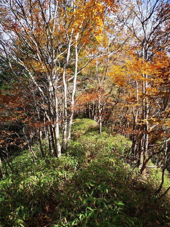
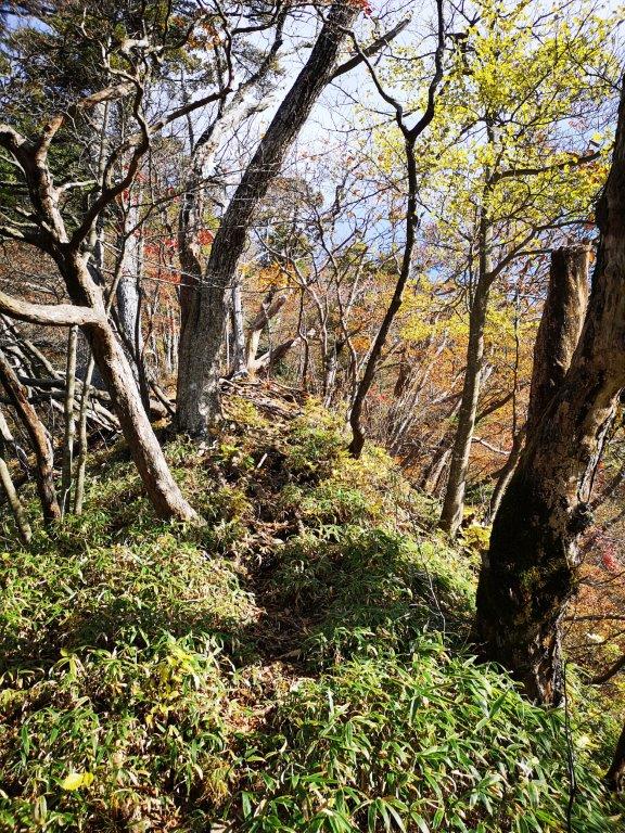
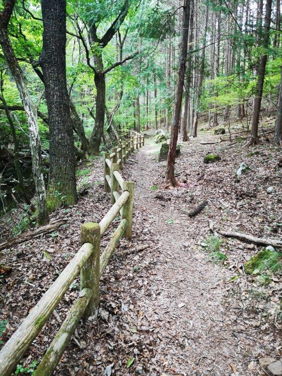
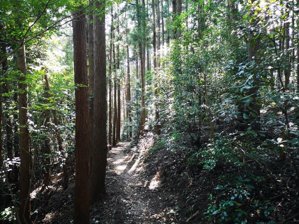
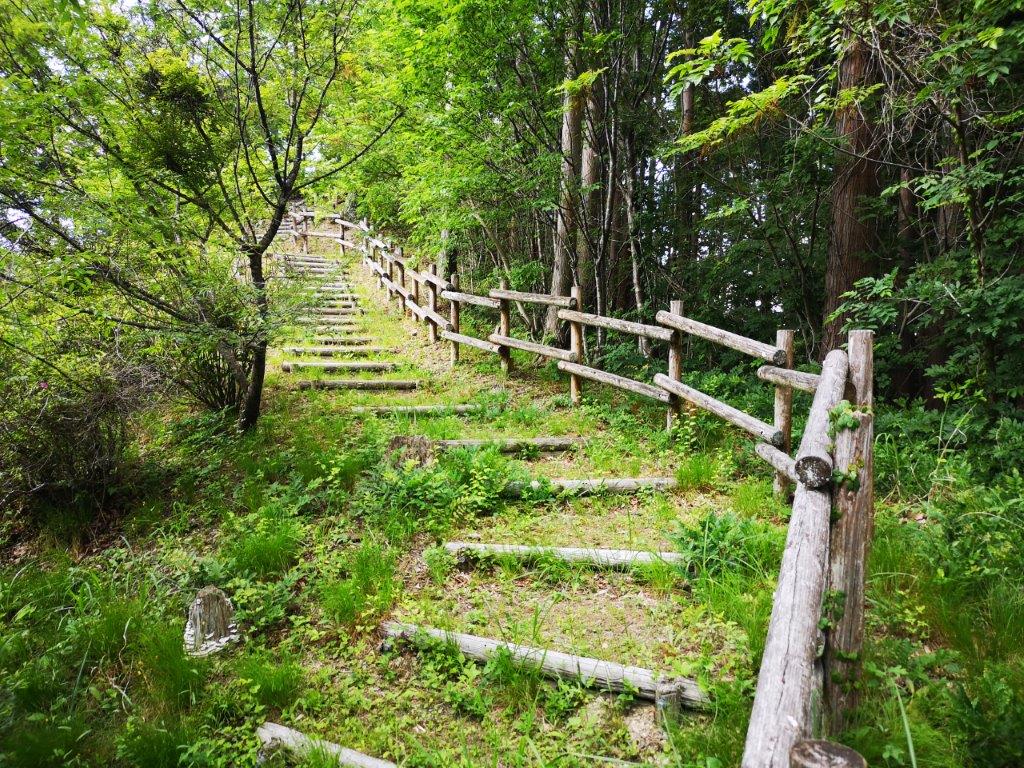
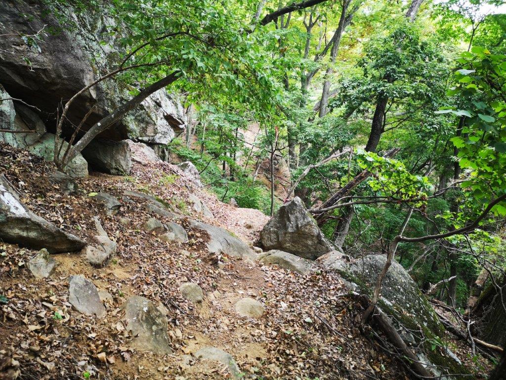
An easy to follow trail through the forest

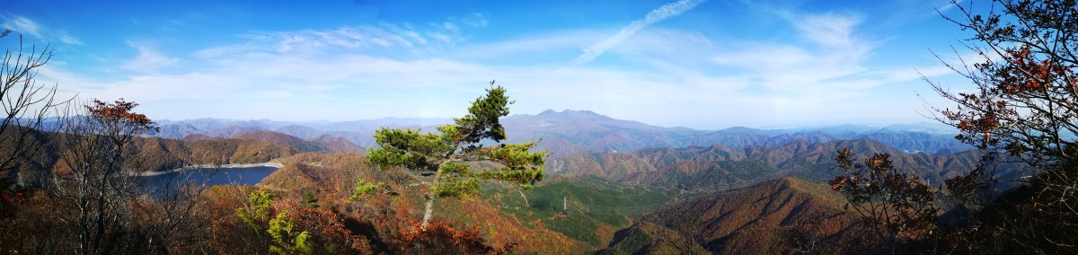
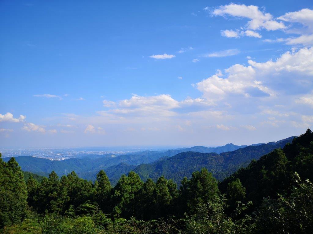
View towards Saitama from the Nosubari viewpoint

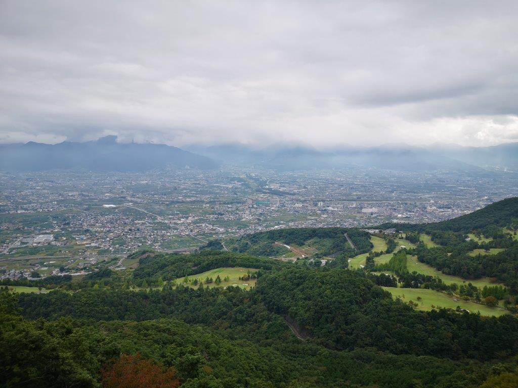
After lunch, I found myself on a gently rising path through dark forest. At 2pm, the trail started to climb steeply and very soon I reached Hananoki pass (花の木峠 683m) on the Odaira ridge (大平尾根), the highest point of the hike and just below the “Green Line”. The hiking path then exited onto a road and twenty minutes later I arrived at the Nosubari observatory (野末張見晴台). I had an excellent view of the Kanto plain and the eastern reaches of the Oku-Musashi hills. In the late afternoon, the sky was hazy so I couldn’t make out the skyscrapers of Tokyo. After a short break, I rejoined the trail just beyond the road and resumed my descent.

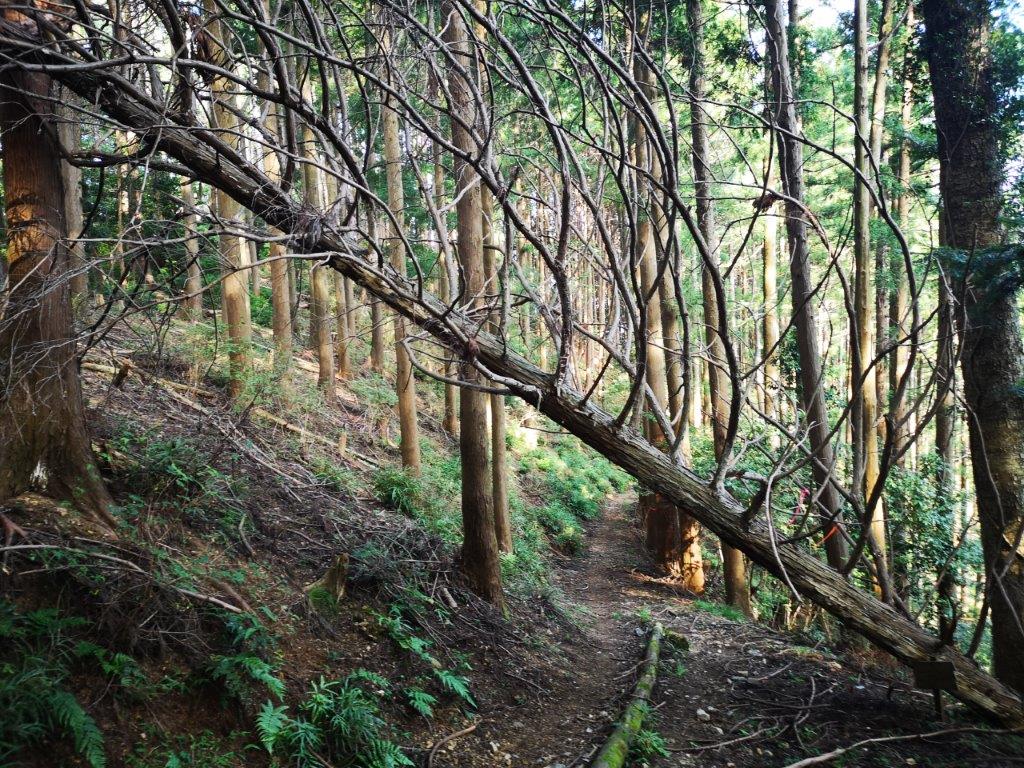
Trail *almost* blocked on the way down

The spider Red Spider Lily which flowers in the autumn

It took an another hour of quiet hiking down a peaceful valley shielded from noise to reach a paved road. Half an hour later I was back on the road I had taken in the morning, and soon after I was back at the bus stop. As I had some time before the bus, I decided to explore the nearby Umesono ume no Eki (うめしの 梅の駅) where I bought some craft sour made from local lemons and plums (I had it at home and it was great). Around 5pm, I caught the last bus back to Ogose station and by 5h30 I was sitting on the train for the short ride back to Tokyo.

Watch a video of hiking in Ogose (includes a spider and a caterpillar)

Caterpillar spotted just past the end of the hiking trail

Hanno Alps from Nenogongen Temple (510m) to Maezaka (425m), Hanno City, Saitama Prefecture

Since I was satisfied with the outcome of the previous hike along the Okumusashi Long Distance Trail, I decided to repeat the experience with another section. This time I would hike along the northern half of the Hanno Alps (I had done the southern part a few years ago). To get to the start of the hike, I would take the same bus as the previous two hikes, but get off a few stops further. I would then follow the most direct route up Mt Atago and head to the start of the trail behind the temple. I decided to end the hike at another bus stop instead of Agano train station, mainly because it was a line I had never used before – I just had to make sure that I didn’t miss the last bus. This time the weather was supposed to be perfect all day with summer-like temperatures. This would be another short hike, and I hoped that it wouldn’t be too hot in the afternoon for comfortable hiking in the hills of Tokyo.

Hiking the Okumusashi Long Trail 奥武蔵ロングトレイル

View of Agano from the Okumusashi Long Trail

I stepped off the bus just after noon under a blazing hot sun. I turned right onto a narrow road leading up a river valley and soon arrived at the start of the hiking trail. It didn’t seem much in use nowadays: the first part was the bed of small stream, and the next part was overgrown with ferns. However, halfway up the mountainside, I entered the cool shady forest, and the path became easier to follow. After an hour of effort, I had reached the top of the ridge. I was now back on the “Fureai no Michi” as well as the “Okumusashi Long Distance Trail”. From there it took a few more minutes to reach Mt Atago and Nenogongen temple.

Climbing Mt Atago via the most direct route

Since it was nearly 1pm, I decided to have lunch at the same spot as before. The view was even better this time but I couldn’t linger since it was already early afternoon. At 2pm I reached another viewpoint, at a parking lot. In the clear weather, I could see the skyscrapers of Tokyo and the Tokyo Skytree – unusual for this time of the day. I now was at the beginning of the Hanno Alps (飯能アルプス hannou arupusu). I followed a narrow trail down the mountainside and I noticed that I was no longer on the “Fureai no Michi”, as the trail became hard to follow with fewer signposts.

Lunch with a view

The trail rejoined the ridge top after hugging the side of the mountain for a short while. This was one of the best sections of the hike: I saw no one along the narrow ridgeline as it rose and dipped, twisted left and right through a mixed forest. The surrounding vegetation was sparse and bright green under the afternoon sun, the complete opposite of the previous hike through lush dark forest. At 3pm a steep slope, almost like a cliff, appeared on the left – a rope had been added to prevent accidents. Occasionally I had a glimpse of the Agano valley through the trees. At one point, I thought I could even make out the house of David Niehoff of Kanto Adventures on the Green line directly opposite.

The little patch of light green in the center is Kanto Adventures

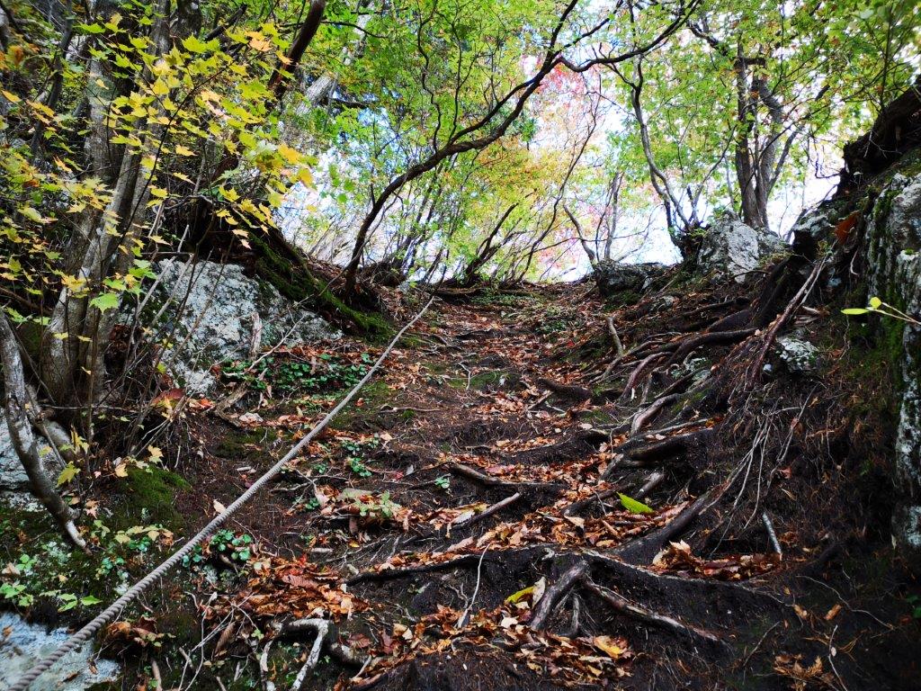
Suddenly, the path descended steeply and the ropes came in handy here. A few minutes later, I popped out on a small lonely road. I followed it downhill for a couple of minutes before turning left onto another, mostly level, hiking path. This led to a crossroad at Maezaka (前坂): straight ahead was the second half of the Hanno Alps; downhill and to the left was Agano station; however, I turned right towards Nakato (中藤). For the first time today I encountered some serious spiders webs across the path; fortunately I was facing the sun, so I was able to dodge them in time. I soon reached another road next to a stream which I followed all the way to the bus stop at the bottom of the valley.

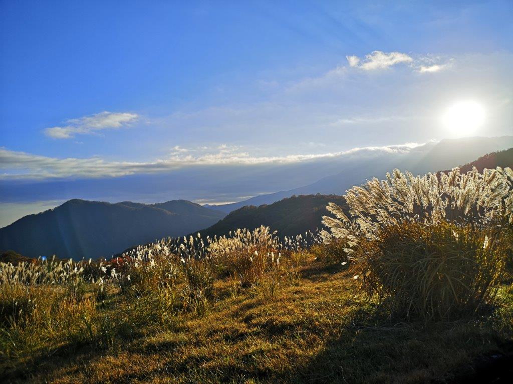
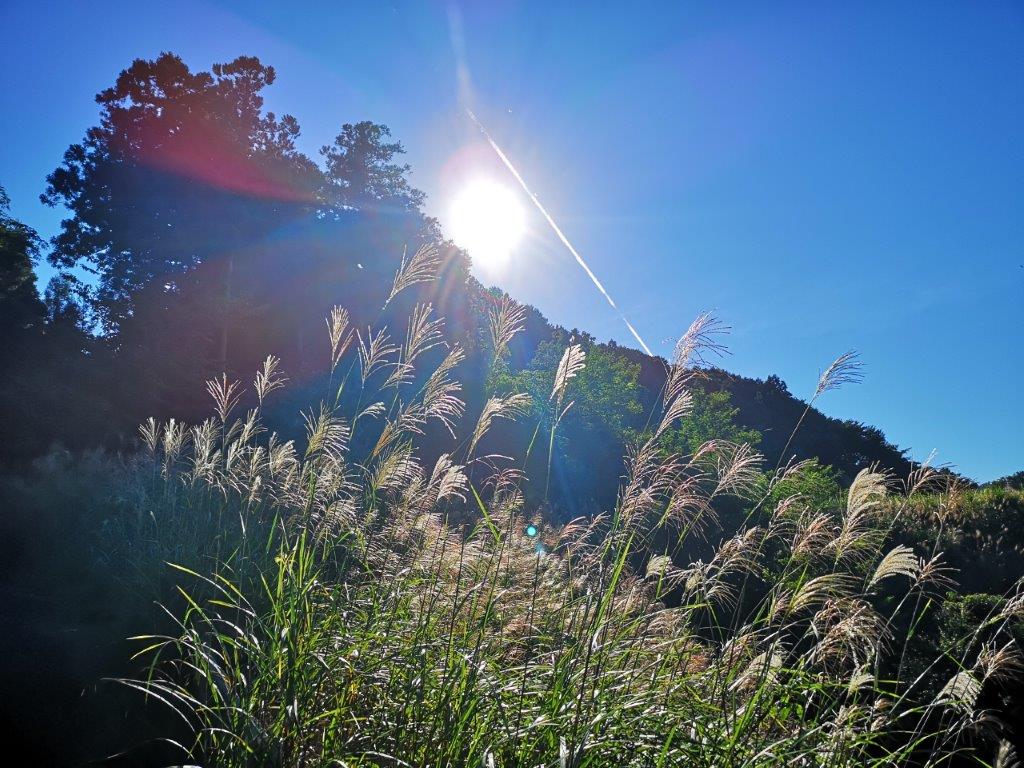
Suzuki grass, another sign of autumn

Although I was close to civilisation, I was completely surrounded by nature: it was very peaceful, the perfect place for a summer cottage. On the way, I passed some intriguing wood sculptures and while I was taking some photos a man came out to talk to me in good English. Apparently he had lived in many countries around the world, and the sculptures had been donated by his students. After our brief chat, I reached the bus stop a little after 4h30 with ten minutes to spare for the return bus. One hour later, I was comfortably seated on Laview limited express bound for Tokyo.

Mt Mine (548m), Mt Nobotto (436m) & Mt Shusuke (383m), Hanno City, Saitama Prefecture

After unexpectedly walking a part of the “Okumusashi Long Trail” on my previous hike, I decided to explore another section of this new long distance trail. I would access it the same way, by riding a bus from Hanno station and climbing to Takedera Temple; this time however, I would follow the ridgeline south instead of north; at the end, I would catch the same bus back, but closer to the station. My hiking map didn’t show any good trails along this route, so I was putting my trust in the “Okumusashi Long Trail”. Thanks to the many buses running from and to Hanno station, I could leave later in the day and finish anytime before nightfall. The weather forecast announced low clouds but no rain; I didn’t think there would be any viewpoints anyway, so I left for my hike in high spirits.

Hiking the Okumusashi Long Trail 奥武蔵ロングトレイル

Misty view from the Yahatazaka Pass

From Ikebukuro station, it took just ninety minutes to reach the bus stop near the start of the trail. It was already past noon and the weather was gloomier than I had expected; the surrounding mountains were cloaked in mist. I nearly walked into a spider web while visiting the restroom at the bus stop, it was already spider season again and I still had vivid memories of my spider-infested hike up Mt Kinjo last year. I grabbed a walking stick near the start of the trail so that I could wave back and forth to clear any webs in my way.

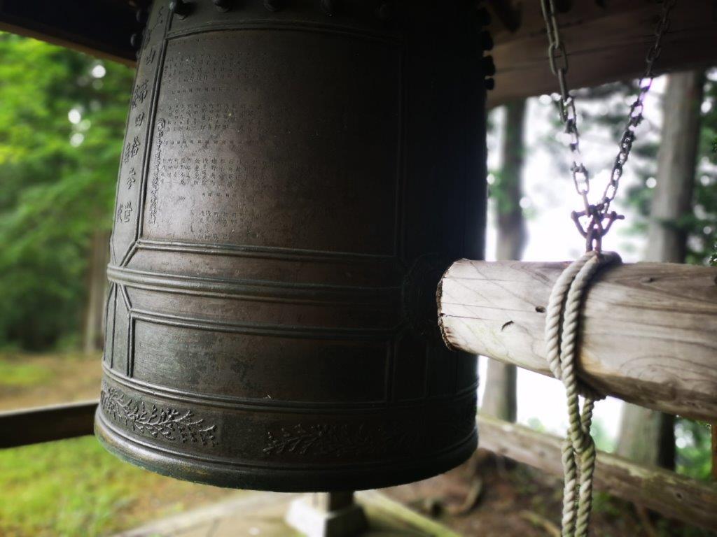
Temple bell of Teradera

The bell made a long resonating noise when struck

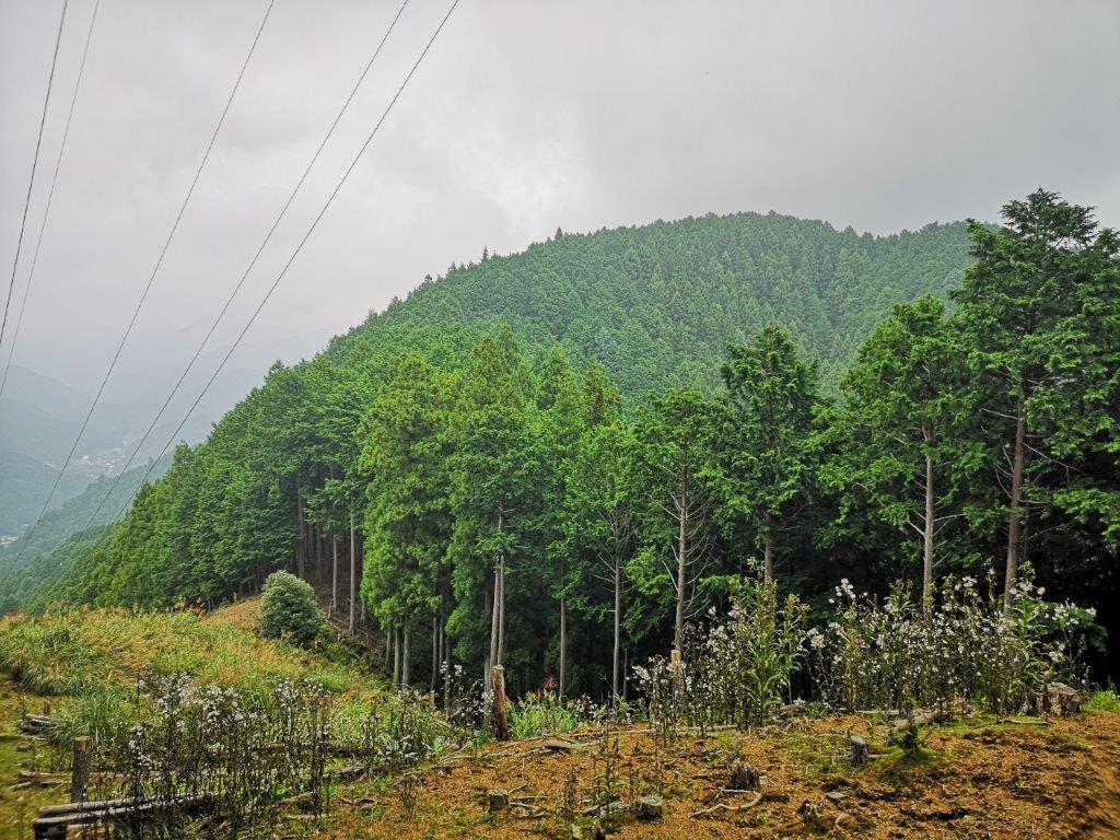
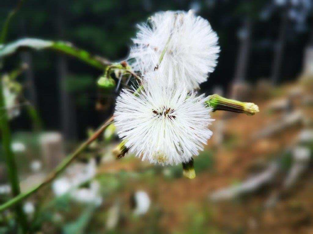
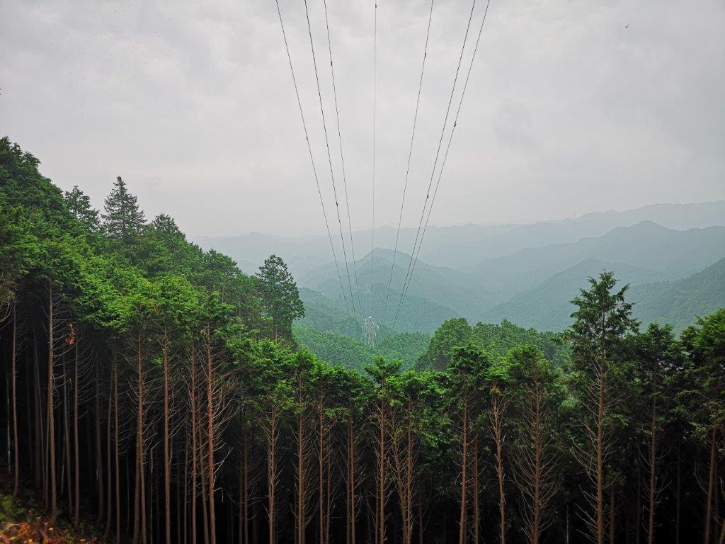
I soon arrived at the first viewpoint at the base of an electric pylon; I saw many flowers with white, fluffy seed heads, a sign that summer was ending soon. It took 30 minutes to reach Yahatazaka (八幡坂) at the top of ridge. I decided to make a short detour above Taketera Temple. It was a good idea since I soon came upon another viewpoint as well as the temple bell. The view was solid white, so I consoled myself by giving the bell a good gong (see video). After reaching the trail for Mt Atago, I headed back to Yahatazaka, passing Teradera on the way.

View from Yahatazaka Pass towards Yahatazaka

Following the pylons

I was finally walking south along the ridge. After some downhill, I reached Yahatazaka Pass (八幡坂峠 560m), another viewpoint at the base of a pylon, where I stopped for a quick lunch. The next part of the trail was perhaps the nicest part of the hike. It followed the pylons along a narrow clearing overgrown by ferns. I was all alone, except for a family of pheasants. It reminded me of walking the firebreaks in the Ardennes. Very soon, I reached a signpost for Mt Takinoiri (滝ノ入山 580m), the highest point of the hike, although it didn’t feel like a mountain summit.

Signs of the summer end: a seed head and a mushroom head

View south towards the hills of Okutama

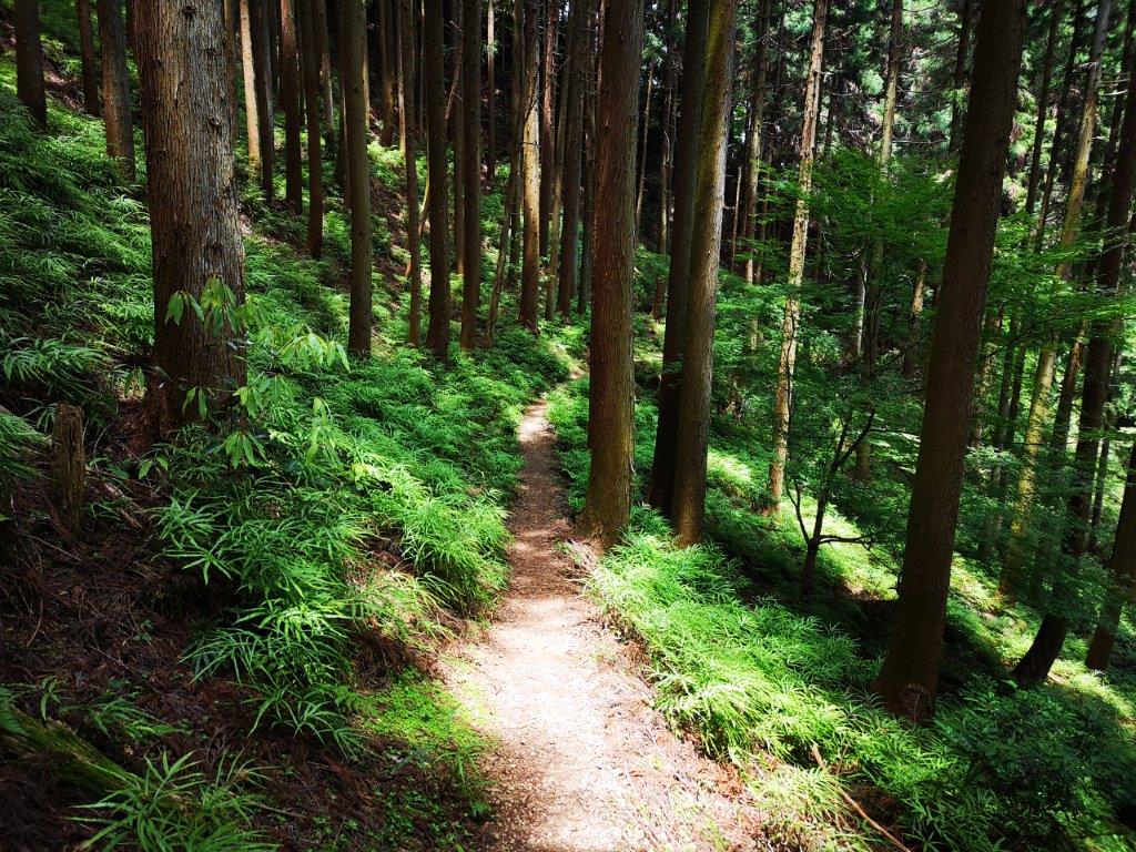
After a quick descent and a flat bit through dark forest, I reached the final and best viewpoint of the day, Mt Mine (嶺 みね), at the base of another pylon. I could see the green rounded hills of Okutama stretching into the distance; I made a mental note to return on a day with better weather. The next part of the trail wasn’t marked on my map; I continued my hike feeling excited to be exploring a brand new path. I was soon walking through thick, beautiful forest; it almost felt like I was inside the nearby Chichibu-Tama-Kai national park.

Among the vegetation, there is a trail somewhere

Another obstacle to surmount

I arrived at a small road, but easily found the next part of the trail beyond. After hiking through some more lovely forest, I arrived at the summit of Mt Nobotto (登戸 のぼっと). There was no view, just some noisy crows, so I continued without a break. At 3h30, I reached the final summit of the day, Mt Shusuke (周助山 しゅすけやま shusuke-yama). No sooner had I set off again that I walked into a spider web; fortunately for me its owner was on the higher reaches. After dusting off the cobwebs, I headed down the mountain. Very soon I reached houses and a road, and at 4h15 I was sitting on the bus back to Hanno station where I caught the limited express back to Tokyo.

Listen to the sounds of the Okumusashi Long Trail

Mt Atago (653m), Hanno City, Saitama Prefecture [Fureai no Michi]

I was looking for a new hike in the Oku-Musashi area (meaning “Deep Tokyo” but actually in Saitama). I decided to explore a ridgeline west of Mt Warabi and south of Mt Izu, following the “Kanto Fureai no Michi” for most of the way, and including a minor peak and a couple of temples along the way. Since it was a short hike, with frequent buses to the start of the hike and frequent trains from the end, I could leave later than usual. The forecast announced cloudy with some sun around lunchtime; temperatures were predicted to be cool for the season – perfect for some low altitude hiking at the end of spring. I was looking forward to walking through beautiful nature close to Tokyo just before the start of the rainy season.

Hiking the Fureai no Michi ふれあいの道

View of the Oku-Musashi mountains from Nenogongen Tenryu-ji Temple

Mt Buko at the very end of the valley

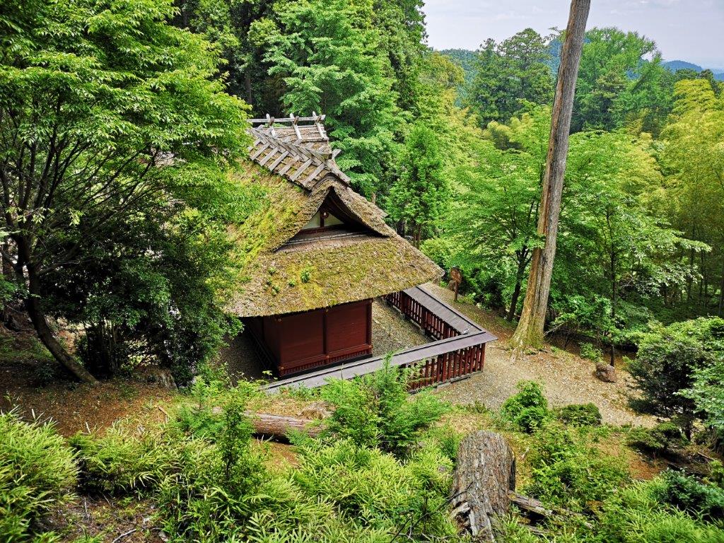
I arrived at Hanno station around 10h30 under grey skies and transferred to a Seibu bus, full of hikers headed for Mt Bonomine. I got off at the following stop and at 11am I was walking up the mountain side through a dark forest. Twenty minutes later I reached a clearing with a view northwards: at the end of the valley I could make out Mt Komochi and Mt Buko. After fifteen more minutes I reached a pass, from where it was a pleasant stroll on a level path to the moss-covered Taka-dera temple (高寺 490m).

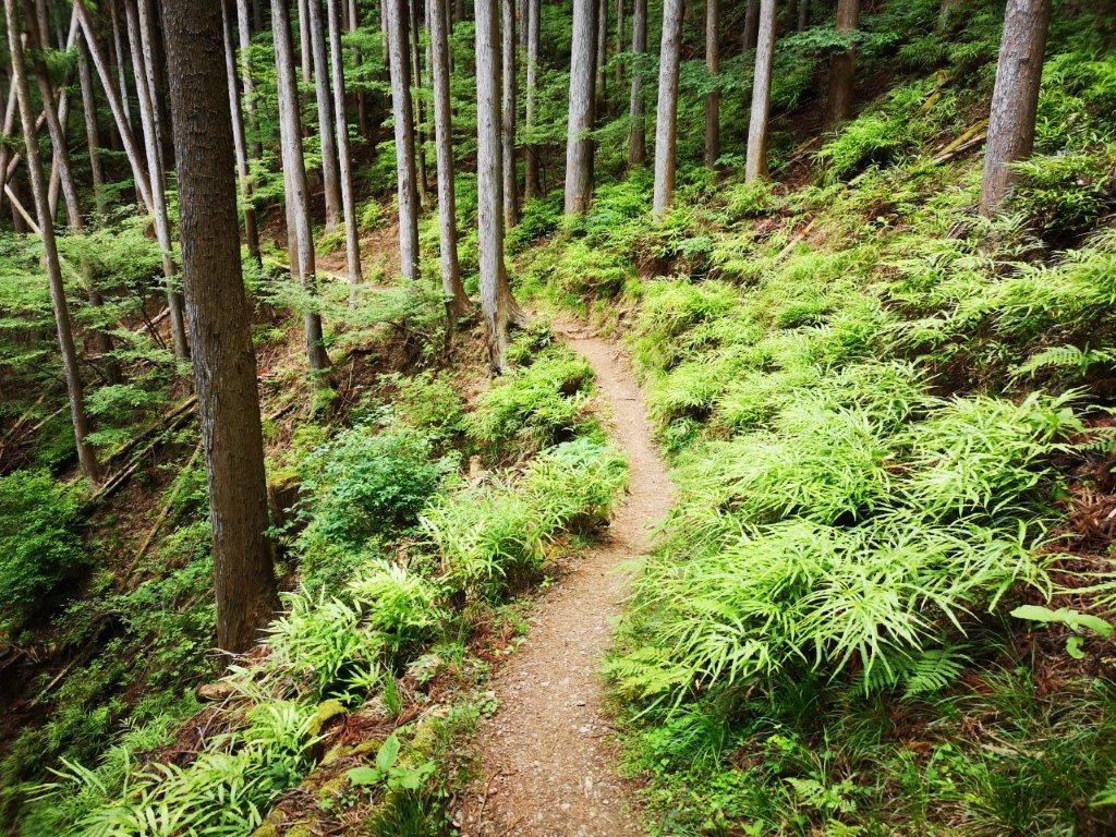
Pleasant walking through the hills of Saitama Prefecture

The moss-covered roof of Taka-dera visible through the trees

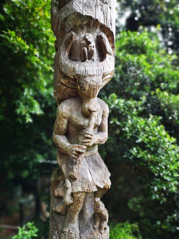
I was intrigued by a pair of wooden totem poles representing buffalo-headed humans playing flutes: I had never seen anything like it before. I continued along the easy to follow and easy to walk Fureai no Michi trail. The path rose slightly before becoming level again. At 12h30 I reached another pass. Here the trail left the mountain side and followed the ridgeline. I climbed a path crisscrossed with roots and then walked down a log staircase. At 1pm, I was at the top of Mt Atago (愛宕山), completely surrounded by trees and slightly off the main trail.

Totem pole of Taka-dera (left) and guardian demon of Tenryu-ji (right)

Easy hiking along the mountain side

A little further, I reached an amazing viewpoint of the valley, through which the Seibu-Chichibu line passes. There was even an unoccupied bench, and the clouds had started to melt away, so I decided to stop for lunch. To the north, I could see the observatory at the top of Mt Maru and Dodaira; opposite was the Oku-Musashi Green line; looking south I thought I could spot Mt Hiwada. After a peaceful lunch, I continued to Nenogongen Tenryu-ji Temple (子ノ権現天龍寺 520m) just a few minutes away. There was another viewpoint above the temple and next to the bell, with the Kanto plain spreading eastwards.

The perfect place for a lunch break

Looking east towards the Kanto plain

I walked out of the temple complex past two guardian demons and a huge cedar tree and after a short trot on the road, reached the trail for Nishi-Agano station. I descended through beautiful forest and then followed a small babbling brook at the bottom of the valley. At 3pm, I reached some houses and a paved road; it took another thirty minutes through pleasant countryside to reach the station. I was just on time for the local train, which I rode for a short while before switching to the Laview Limited express at 4pm for the short and comfortable ride back to Tokyo.

Enjoy the sights and sounds of the Saitama section of the Fureai no Michi

Mt Taka (1668m) & the Chuzenji Lake Nature Trail, Nikko City, Tochigi Prefecture

Since climbing Mt Shazan last summer, I had been wanting to return and explore the shoreline of Chuzenji lake. Although circling the entire lake would be too long for a day hike, it was possible to do only the western and southern sides, away from the main road, and also include a small summit on the way. Since I visit Oku-Nikko nearly every year, I was familiar with the way there and back; I could use a bus to get to the start of the hike, and also for the return. My main concern was to finish the hike early enough so that I could get back to Nikko station in time for the last limited express back to Tokyo. The rainy season hadn’t arrived yet and blues skies were forecast for the entire Kanto area, so I was looking forward to exploring a new corner of “deep Nikko” in good weather.

Hiking in the Nikko National Park 日光国立公園

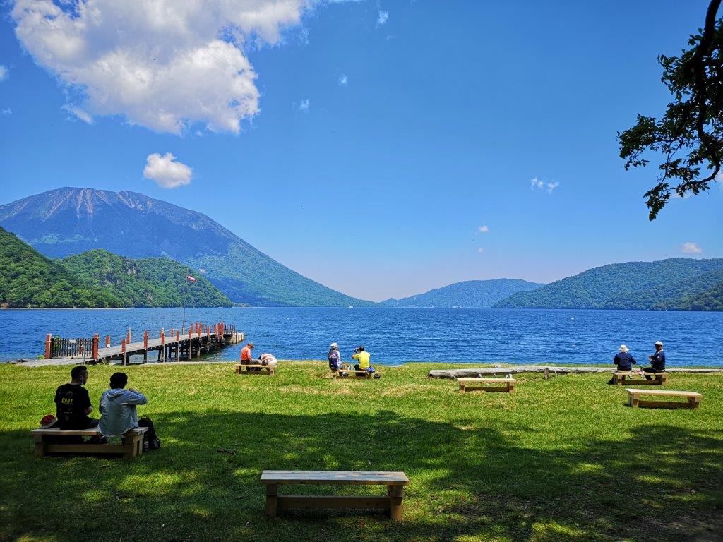
Sightseers taking a break at the western end of Chuzenji lake

The weather was as forecast and I could see Mt Nantai and Mt Nyoho from my seat on the Nikko line. At 9h30 I boarded a bus for Yumoto-Onsen; one hour later I got off at the Ryuzu falls (1355m above sea level), and just before 11am I set off on my hike. The surrounding forest was beautiful and the trail was well-maintained: it definitely felt like I were hiking inside a National Park. There were few views from the trail: I had a glimpse through the trees of Sengohara plain to the north and of Chuzenji lake to the south. The sound of buzzing insects was deafening; luckily I had brought repellent with me today.

Hiking inside the Nikko National Park

Hiking up Mt Taka

It took me less than an hour to reach the top of Mt Taka (高山 たかやま takayama). There was no view but it was grassy with several places to sit down. I took a short break and then continued down the other side. The path zigzagged down the steep terrain and ten minutes later I reached a pass and a junction. To the right was Sengohara; however, I headed left, down a wide, gently sloping valley alongside a small stream. Eventually, the valley flattened, and I was walking in the midst of some very tall trees.

The paradisiac shore of lake Chuzenji

Boarding deck at Senjugahama

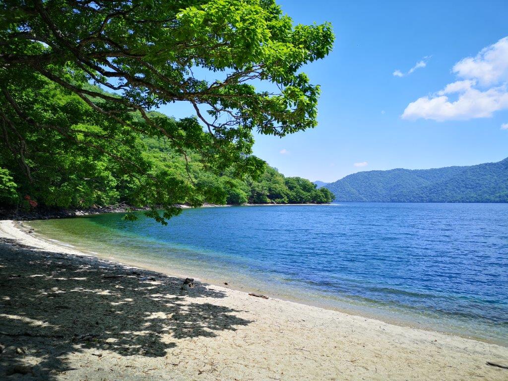
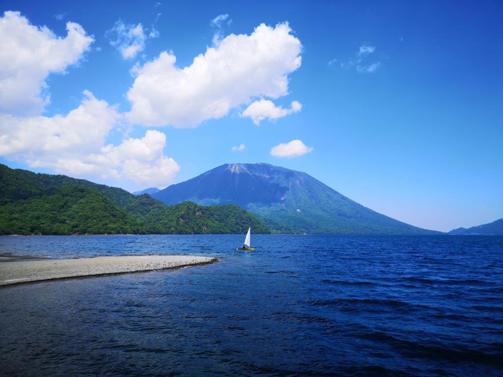
At 12h30 I reached the white sandy shore of Chuzenji lake. Under the blue sky, it felt like I was on a Pacific island. I continued along the shady path to the right, circling the lake counter-clockwise. Ten minutes later, I arrived at Senjugahama (千手ヶ浜), also accessible via boat and bus, which explained the number of people I saw there. I moved on quickly, enjoying the various views of the lake and Mt Nantai to the left. Twenty minutes later, after crossing a river on a small footbridge, I was back on a hiking trail with no one else around.

Sailing boat with Mt Nantai directly behind

Mt Taka from the southern side of Chuzenji lake

It took about three hours of solitary hiking through pleasant forest to reach the end of the hiking trail at the Italian Embassy Villa Memorial Park. During the first half, the narrow trail went up and down but also remained within sight of the lake. The second half was wider and flatter and I had to be careful not to lose the trail. I wasn’t sure till the final hour that I would make the bus, but it was with great relief that I got to the bus stop with ten minutes to spare. At 5pm, I was comfortably seated on the Tobu bus back to Nikko station, at at 6pm I was on the limited express for Asakusa station.

See the views along the Chuzenji Lake Nature Trail

One of the many view of Mt Nantai along the trail

Jomine Park (498m) & Sanbaseki Gorge, Kamikawa Town & Fujioka City, Saitama & Gunma Prefectures

As I was looking for a way to continue my exploration of western Gunma, I found a section of the “Kanto Fureai no Michi” surrounded by four previously climbed peaks: Mt Jomine, Mt Mikabo, Mt Sakura and Mt Yokogai. The highlights were a viewpoint of Kanna lake and a river gorge; on the downside, the route followed paved roads instead of hiking paths. I wasn’t worried about access, since I had traveled to the area before. It would be a short hike, so I could leave later than usual. Although most of the hike would be inside Saitama, except the river gorge, I would be arriving and leaving via Gunma. The weather was supposed to be fine all day, and although I wouldn’t be summiting any mountains, I was hoping to get some good views along a hidden valley close to Tokyo.

Hiking the Kanto Fureai no Michi 関東ふれあいの道

Kanna lake and Shimokubo dam from Jomine Park

I had only a few minutes to transfer to the bus after arriving at Shinmachi station around 10h30. I got off one hour later, a couple of stops before the dam and the lake, seemingly in the middle of nowhere. I could see Jomine park and the dam straight ahead, so I got my bearings easily. After getting ready, I used my phone GPS to find my way to the bottom of the river valley. I crossed the bright red Tosenkyo bridge (登仙橋), also crossing into Saitama prefecture at the same time, and walked up the road opposite, alongside a small river.

Straight ahead and at the top of the mountain, Jomine park

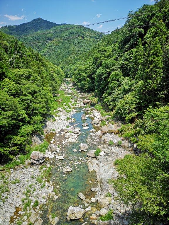
Looking downstream (left) and upstream (right) from Tosenkyo Bridge

I soon spotted a small path next to the river and immediately switched to it so that I could better enjoy the sight and sound of the rushing water. I was now walking inside Tobagawa river park (鳥羽川河川公園). At 1pm, I rejoined the road, which climbed steeply and away from the river. Half an hour later, I reached a junction: straight ahead the road continued to the top of Mt Jomine, 4km away and 500m higher; however, I took a sharp turn to the right, along a gently rising, almost flat road.

A pleasant stroll through Tobagawa river park

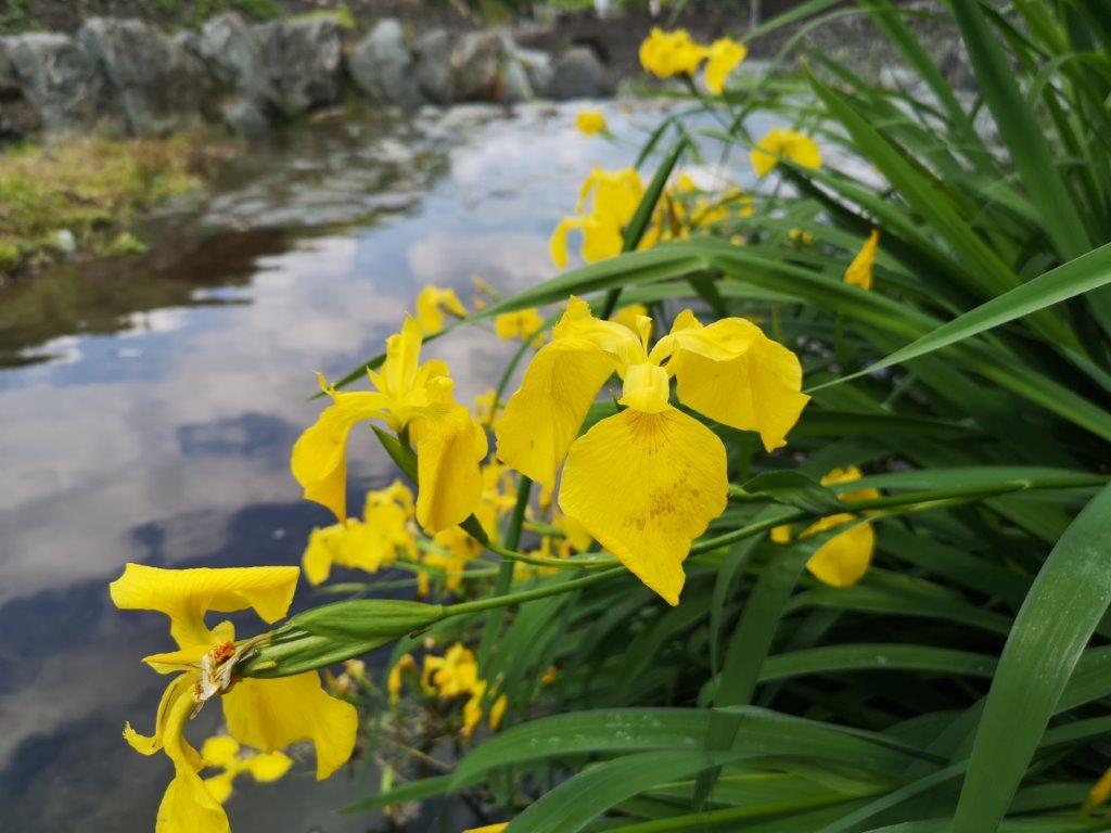
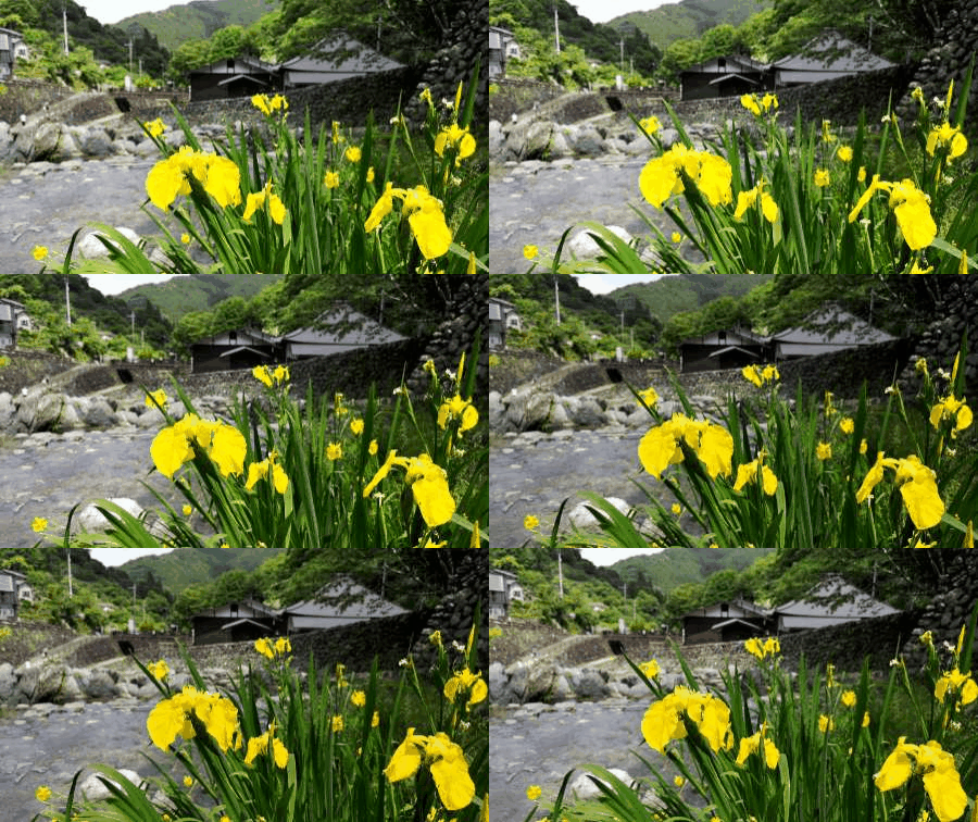
Yellow iris next to Toba river

I now had my first good view of the day: looking east, I could make out the top of Mt Yokogai which I had climbed just one month ago; huge cumulus clouds were crowding the sky to the south, and although rain was forecasted closer to Tokyo, the surrounding mountains were still in the sun. At 2pm I arrived at Jomine Park (城峰公園) and had lunch at the observatory overlooking Kanna lake (神流湖) to the north. Beyond it, I could see the rounded top of Mt Sakura.

The only hiking path on this “hike”

Cloudy weather to the south over Chichibu

After lunch, I made a quick tour of the park and found another less impressive viewpoint on the other side, and at 3pm, I headed down a wide road leading to the dam. After only a few minutes, I reached a shortcut following a log staircase overgrown with grass; it was the first and only hiking path of the day. Less than 10 minutes later, I was back on the road. At 4pm, I was on the pedestrian road that ran along the top of Shimokubo dam (下久保ダム).

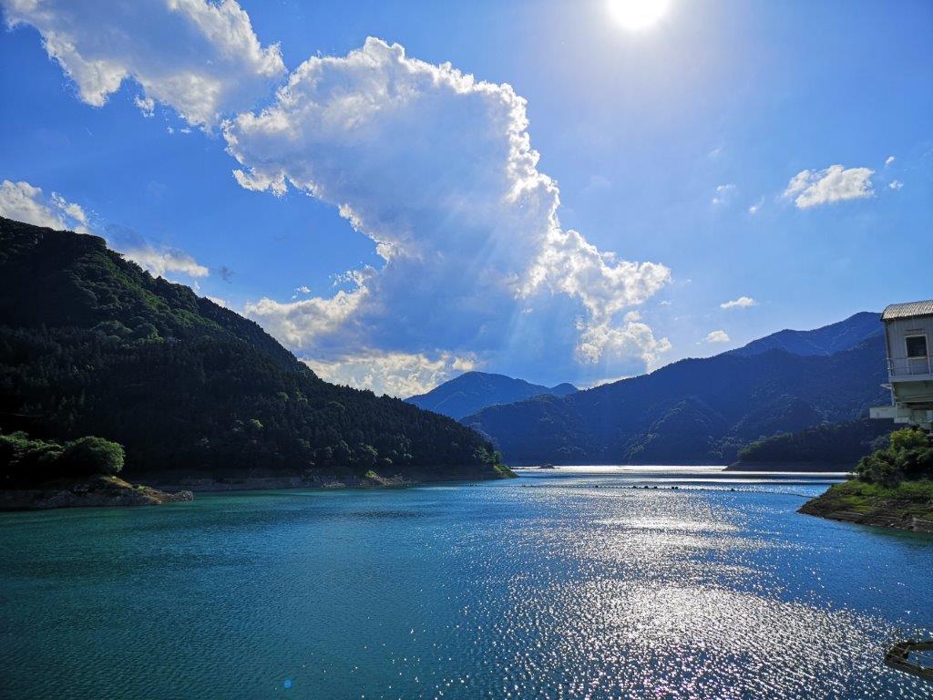
The blue-green water of Kanna lake

Kanna lake, a hidden gem

This was the second highlight of the day: looking west, I could see Kanna lake sparkling under the afternoon sun; turning around, I could see the impressive ravine through which flowed the Kanna river. After walking up and down the dam, I headed down into the deep valley on a road closed to traffic; 15 minutes later, I was at the entrance of the Sanbaseki Gorge (三波石峡). Although the riverside path is no longer in use, I could approach the river via four small paths situated at regular intervals along a road.

Looking down at the river gorge from the lake dam

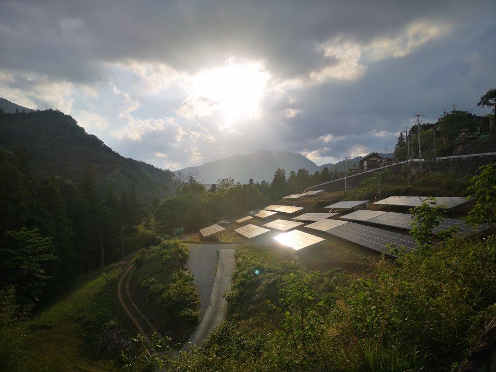
Solar panels getting the sun at the end of the hike

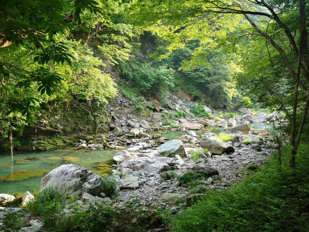
Each riverside spot was like straight out of a fairytale: at the first two, the clear water rushed through huge boulders, 48 of which have names; at the last two, the light-green water flowed lazily under grey cliffs. The sinking sun shone down the valley through the leaves and onto the water; a slight breeze blew occasionally, its coolness welcome on a warm day. I took a short break at the third spot and enjoyed this magical secluded place.

Kanna river in the late afternoon sun

A magical spot along the Sanbaseki Gorge

It was now past 5pm and my bus was due in half an hour. I continued along the road at a fast pace and soon arrived back at the red bridge which I had crossed five hours ago. Huge grey clouds had now spread above, and it seemed like it could rain at any moment. I quickly climbed out of the valley back to the bus stop. One hour later I was at Shinmachi station, from where it was a 90 minute train ride back to Tokyo.

Mt Koo (550m), Mt Hinata (482m) & Mt Taka (420m), Fujioka City, Gunma Prefecture [Ontake Trail]

After visiting Mt Sakura the previous year, I really wanted to do another hike in the same area. I knew there were two more short trails to the north, making them suitable for the winter. However, looking online, there seemed to have few views, and I thought it would be nicer to visit during the new green of spring. I chose the better maintained Ontake trail, over the more adventurous Kamatori trail. By starting with Mt Koo, a separate peak connected by a short walk on the road, I could extend the hike to 3 hours. These trails weren’t shown on my hiking map and weren’t mentioned in my hiking guides, so I had to rely exclusively on information found online. Getting to the start of the hiking trail would require a combination of two local trains and a bus: not the easiest route, but with plenty of time between connections, it seemed problem-free. The weather forecast was “cloudy with sun later on”; although the views were supposed to be scarce, the new green of spring always looks better in the sun, so I was hoping for some sunlight on this hike.

View of the Kanto plain through a break in the mountains

Start of the “2000-step staircase”

The sky was grey and gloomy during the first part of the my trip. However, while switching to the Hachiko line, the clouds parted, and after arriving at Gunma-Fujioka station at 10am, the sun was shining. Instead of a bus, I got on a mini-van, a common form of public transport in this part of Gunma. A little before noon, I got off at the last stop, called “nisen-kaidan-iriguchi” (二千階段入口), meaning entrance to the 2000-step staircase. Looking west, I could make out the foothills of Mt Mikabo, its top half lost in the clouds.

Some of the 2000 steps of Mt Koo

View from the top of Mt Koo

It certainly didn’t feel like 2000 steps: it took me just five minutes to reach the the summit of Mt Koo (子王山 こおうやま meaning small king), completely in the trees. Walking north and down a few meters, I reached an opening in the trees, where I had a view of the Kanto plain with the tall buildings of Takasaki city to the northeast. I should have been able to see Mt Haruna, Mt Akagi and the Nikko mountains, but the weather still wasn’t good enough. I had an early lunch before setting off again.

The beautiful spring green of Gunma

Start of the Ontake hiking trail

I went down some steeps steps on the other side, and then followed a forest road round the mountainside, arriving back at my starting point 15 minutes later. I walked east along the countryside road till I reached the entrance to the Ontake trail (御嶽コース). The trail descended for a short while, before crossing a metallic bridge and then heading up a ridge. Soon, I was walking along a level path through the forest. At 1h30, I reached the narrow summit of Mt Hinata (日向山 meaning in the sun); oddly enough, despite being surrounded by trees, the summit marker was…in the sun.

A level section of the trail (left) / An interesting trio of trees (right)

By the afternoon, the good weather had prevailed

The trail continued up and down, with the steeper sections helpfully equipped with rope; half an hour later I was at the top of Mt Ontake-Taka (御嶽高山), once again hemmed in by the trees. Past the summit, the path started to descend and at 2h30, I emerged onto a forest road. At 3pm, I reached the road and the end of the hiking trail. It walked ten minutes to the Takayama-sha Ruins bus stop, next to a world heritage site, where I caught the mini-van back to Gunma-Fujioka station. It took only a few minutes to connect to the Shonan-Shinjuku line, after which it was a 90-minute ride back to central Tokyo.

See the view from the top of Mt Koo and the waters of the Sanmyo River

Yamabushi-Daira (710m), Minami-Ashigara City, Kanagawa Prefecture

I had been up Mt Kintoki and Mt Yagura before. Back then, I hadn’t known that a bus went up to the park near the pass between the two mountains. Studying my hiking map, I saw that I could ride this bus there and then walk down to a train station at the bottom of the valley. I was mostly interested in trying out a new bus line and getting some good views, even though I wouldn’t summit any mountains; I would also get to ride the Daiyuzan railway line to get there, a railway I had only taken twice before. Since this hike was on the short side, I could leave later in the day and have a soba lunch beforehand. The weather forecast predicted it would be sunny day with some clouds – not a bad thing on a warm spring day.

Hiking between Hakone and Tanzawa

After a comfortable ride on the Romance Car, I arrived at Odawara station around noon. I switched to the Daiyuzan line and got off at the last stop. After an excellent soba lunch at Hatsu Hana Soba, I caught the last bus of the day for Ashigara Manyo Park (足柄万葉公園). It was an interesting ride up a narrow winding road which also doubles as a hiking path.
An easy start to the hike

At 2h30, I was walking northwards along a flat and easy trail along the ridgeline. On the way, I spotted an interesting moth – I found out later that it was the Japanese version of the American Luna moth. Through a break in the trees, I could see the rounded top of Mt Yagura ahead to the northwest. At 3h30, after a short climb, I reached Yamabushi-Daira (山伏平) in the middle of the forest.
A rare moth in the daytime

There was no view so I continued without a break, heading down the other side of the mountain. Half an hour later, I crossed a small stream. After some descending, I reached a forest road following the mountain side. At 4h30, I arrived at the 21st Century forest (21世紀の森), although nothing about it made me think of the current century.

Mt Fuji through the late afternoon haze

A few minutes later, I reached a lookout point; it was rather small and the view wasn’t as great as I had hoped for. Looking west, I could see Mt Fuji, only a dim outline visible in the later afternoon haze. To the north, I could make out the peaks of western Tanzawa just above the treetops. I took a short break before setting off again, on a level gravel road.

Still some way down

Along the way, I had a view of Sagami Bay to the east, soon followed by a view of the Central Tanazawa mountains to the north, this time clear of trees, with the bare top of Mt Ono in the middle. Suddenly, the path swerved to the left and headed down a steep log staircase through the forest. At 5h30, I reached a little traveled forest road in dire need of maintenance.

The Tanzawa mountains

As the road wound round the mountainside, I got a wide view of the valley through which the Gotemba trail line passes, and Yamakita town, my final destination; it was easily the best view of the day. It still looked a long way down so I had to hurry up. I had a brief glimpse of a deer before it bounced away through the trees. I soon arrived at a paved road, which went steeply down via a series of switchbacks.

The Iris Japonica

The road was lined with Iris flowers (シャガ shaga) in full bloom, and it was a very peaceful walk at the end of the day. At 6pm, I arrived at the entrance for the Shasui falls (洒水の滝) and the end of the hiking path. I had been to the falls before, so I continued through the town, reaching Yamakita station at 6h30, just before dark. It was a short train ride to Matsuda station, where I changed to the Fujisan Limited Express (part of the Romance Car series) for the one hour ride back to Shinjuku.

Mt Yokogai (593m), Honjo City, Saitama Prefecture, April 2021

I wanted to visit Chichibu as I hadn’t been there since Mt Jomine last December. Looking through my guidebook, I found a four-hour hike along a ridge in northern Saitama, above a valley that used to be a secret Christian hideout during Tokugawa times. I could access it via train or by bus; I chose to go by train, allowing me to leave later, and then return by bus in the mid-afternoon. The weather for the next day was supposed to be sunny but windy, not much of a concern in the warmer spring days. I was looking forward to visiting this “hidden valley” and seeing the views on the border between Saitama and Gunma prefectures.

Looking down at Onishi town from the summit

I arrived at Nogami station before 10am under light blue skies. After walking for thirty minutes along paved roads surrounded by light green hills, I reached a forest road up a small river valley which soon turned into a small hiking path. Just past 10am, I emerged onto a small road on the ridgetop where I was greeted by strong gusts of wind. I quickly continued down the other side and reached a clearing full of tree stumps – a good place to sit down for a late breakfast.

The forest road at the start of the hike

A good place for a break

Opposite, I had a view of the today’s mountain, barely distinguable from the other minor peaks along the ridge. It was less windy here and I could hear many different birds singing nearby. I set off again and soon reached the road at the bottom of the valley. I turned right and followed the Koyama river downstream. I stopped by Hanaogi (花扇), a small confectionery shop, to buy some “manju“, buns filled with sweet-tasting red bean paste.

On the right side under the big cloud, Mt Yokogai

Start of the hiking trail for Mt Yokogai

As the noon chime echoed across the valley, I crossed a bridge and turned left onto a road heading up. At 12h30 I was back on a hiking trail up another river valley through a cedar forest. This time, the river was dry; instead of the noise of water, I could hear the noise of the wind blowing through the treetops. It took only a few minutes to reach the ridgetop, where I took a short path off the main trail to a huge sacred rock called “Gongen Iwa” (権現岩 ごんげんいわ).

In the center, Mt Jomine

Sunny hiking near the top

I found a sunny spot out of the wind to snack on a “manju“. I then made my way back to the main trail and followed the ridge northwards. I soon reached an area clear of trees with a view of Mt Jomine to the south. Next I arrived at another viewpoint to the west from where I could see Onishi town and Mt Sakura; but I wasn’t at the highest point yet, and a few more minutes brought me to the top of Mt Yokogai (横隈山 よこがいさん yokogai-san). Straight ahead, I could see Mt Akagi, Mt Haruna, and even the snow-capped peak of Mt Asama.

First viewpoint just south of the summit

Lake Kanna between Saitama and Gunma

I enjoyed a quiet lunch before heading back the same way. It was only 2h30 and I was ahead of schedule. At the junction for Gongen Rock, I continued straight on an up and down path taking me past a view point of Kanna lake and ending at a paved road. From there, it was easy walk down to the bus stop at the bottom of the valley. I had an hour before the 4h30 bus so I went and bought some more “manju“. At Minano station, I caught the Chichibu line for Kumagaya and then transferred to the Shonan-Shinjuku line for the one hour trip back to Tokyo.

See the sights and hear the sounds of Mt Yokogai

Mt Tomiya (365m) and the Ogodo Alps, Sakuragawa City and Mashiko Town, Ibaraki & Tochigi Prefectures, April 2021 [Map Available]

I first noticed this mountain from the top of Mt Ontake two years ago. It wasn’t in my guidebook, but looking at the comments on Google Maps, it seemed to have a great summit view. Searching some more online, I discovered a circular hiking trail just behind it, going up and down a series of small hills and thus deserving the “Alps” designation. It seemed possible to combine these two trails, although I wasn’t sure how long the final hike would be. To save time, I would take a taxi from the station to the start of the trail and walk on the way back. Blue skies were forecast for the next day, and I hoped I would be able to see the mountains of Nikko to the north. The temperatures were still cool for the season, and it was a good thing that the elevation of the hike was relatively low. I was looking forward to visiting Ibaraki again and doing another “Alps” hike in the Tokyo area.

Get a map of the Mt Tomiya & Ogodo Alps hike

This map was developed for Japanwilds with the Hokkaido Cartographer

Find more Japan hiking maps on Avenza

View south from the Tomiya-san Fureai Park

Western branch of the Ogodo Alps

I arrived at Iwase station at 9am under a cloudless sky. I had the taxi drop me off in Tomiyasan Fureai Park (富谷山ふれあい公園) at a parking lot surrounded by double-flowered cherry trees (八重桜 “yaezakura“) in full bloom. Once ready, I visited the nearby Tomiya-Kannon, a mountain temple with an impressive three-story pagoda. I then walked for a few minutes to an observation tower at the top of the park, from where I had a fantastic view of the low mountains south of the Mito line. Directly opposite, I could see Mt Ontake, Mt Amabiki, Mt Kaba and Mt Ashio; behind them was Mt Tsukuba, a hundred-famous mountain and the highest peak in the area; on its left was Mt Wagakuni. after a late breakfast, I finally started my hike at 10am.

The 3-story pagoda of Tomiya-Kannon

The main building of Tomiya-Kannon

The start of the trail was hard to follow and I felt relieved when I saw the first signpost. After a few minutes, I left the forest and reached a dirt road from where I had my first good view of the summit. At 11h30, I was standing near the top of Mt Tomiya (富谷山 とみやさん tomiyasan). Like Mt Buko in Chichibu, the mountain is used for mining and its shape has been artificially changed. According to a sign, the true summit used to be further along the ridge and about ten meters higher, but had collapsed years ago. The area was like a giant construction site, with rumbling trucks lower down on the southern and western sides; a few meters away, a lone bulldozer was busy shoveling dirt.

Late morning view from the summit of Mt Tomiya

View of Mt Amabiki from the summit of Mt Tomiya

The upside was that I could enjoy a fantastic 360 degree panorama, since only bushes and shrubs remained. The view south was similar to the view from the observatory. The flat, featureless Kanto plain stretched away to the southwest – apparently Mt Fuji can be seen, but not today; I could make out the snowy peaks of Oku-Nikko faraway to the northwest; directly west was Mt Amamaki and Takamine; finally, directing my gaze to the north, I had my first look at the Ogodo Alps (大郷戸アルプス おおごうどアルプス oogoudo arupusu), the rolling light green hills, divided into western and eastern branches. Walking downhill, I reentered the forest and quickly reached the Alps trail junction. I chose to go right, westwards, since it seemed to be hillier, and thus harder, leaving the easier branch for the return.

View from the northern side of the Ogodo Alps

The tiny Sengen Shrine

Despite the low altitude, the trail made me work hard, going up and down a succession of small peaks without views, simply named after their elevations, such as “354m Peak”. The surrounding forest was bursting with new green, and the trail was well maintained and easy to follow thanks to frequent signs, but I was starting to wonder whether I would ever find a good place to sit down for lunch. At 12h3o I finally reached a cleared space around an electric pylon where I could enjoy the view of the Ibaraki hills while munching on a sandwich. A little later, I passed a second pylon, after which the path descended steeply.

Level walking near the end of the Alps

View from the start of the eastern branch of the Ogodo Alps

The path flattened and I arrived at a small park with pink floweringyaezakura“; at its edge, next to a pine tree, there was the picturesque Sengen Shrine. A few minutes later I reached the flat bottom of the valley. I walked through beautiful countryside, with traditional houses separated by rice fields, and wild flowers growing along the lanes, all encircled by the Ogodo Alps. At 2pm, I reached the start of the trail for the eastern branch. It had just as many ups and down as the western side but more views from the highest points. I passed two more electric pylons, twins of the ones on the other side of the valley. Half an hour later, I arrived at the Ogoto dam viewpoint; looking down, I could spot the light blue pond among the green trees.

Fishing pond formed by Ogoto dam

Hiking through the new green of spring

I felt that I was extremely lucky with the weather. It was rare to be able to enjoy the new green in relatively cool conditions, almost as if spring had arrived in the middle of winter. I was now walking through a forest of Chinese flowering ash (アオダモ) in full flower. I then reached a steep but short climb, which brought me to the top of Kaiko-no-Mine (回顧の峰) with a good view of Mt Amabiki and Mt Takamine to the east, and the other half of the Ogodo Alps to the west. The next section was by far the best of the whole hike: a level path through low pine trees with mountains tops popping up above, it actually felt alpine. The trail dipped and reentered the forest, and I was back at the junction with Mt Tomiya.

Hiking through the pines

Afternoon view from the top of Mt Tomiya

At 4pm, I was once again standing on the treeless summit; however, it was completely quiet since the construction trucks had gone home for the day. After appreciating the view again in a different light, I went down the way I had come up in the morning. Near the temple, I found a path that went straight down and I could thus avoid walking on the road. At 5pm, I was at the bottom of the valley and it took me another half hour of road walking to get back to the train station, where I caught the local train for the trip back to Tokyo.

See the views from the Ogodo Alps

Late afternoon view from the observatory