Looking at my hiking map, I found another unexplored corner of “Oku-Musashi”: by connecting various local trails, I could make a loop in a hidden valley beyond the Seibu-Chichibu train line and the “Green Line” road. I would take the Tobu line to Ogose station, from where it was a short bus ride to the start of the hike, and return via the same way. It was a short hike so I could leave Tokyo mid-morning and still catch the last bus back around 5pm. The weather was unseasonably hot, and I was worried how comfortable I would be hiking at a low altitude; however, the skies would be mostly clear of clouds, so I could count on some good views.

Lunch with a view from Moroto no Kuruwa

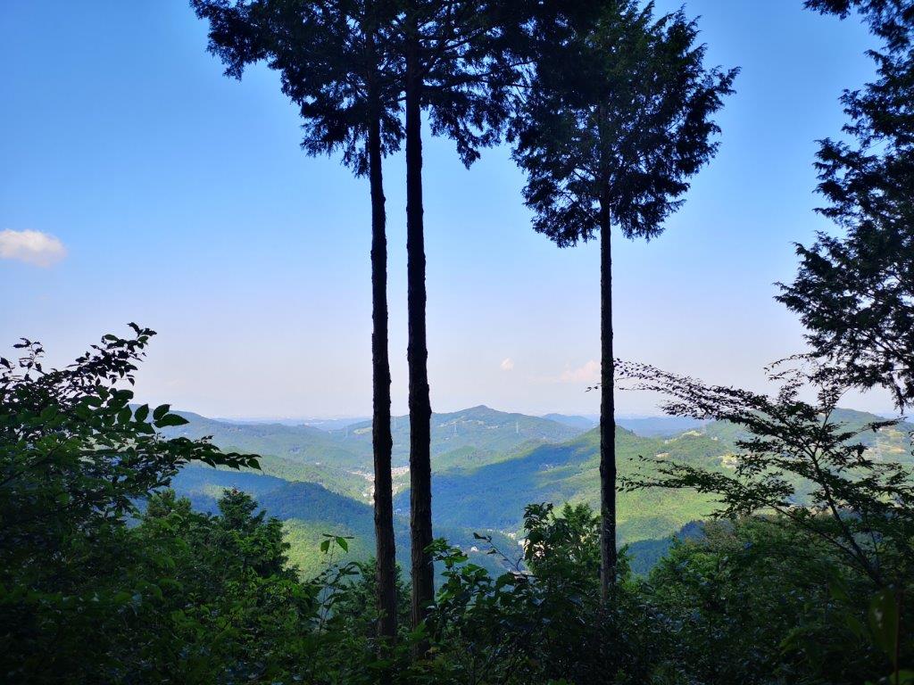
A peek through the trees below the summit of Mt Kozuke
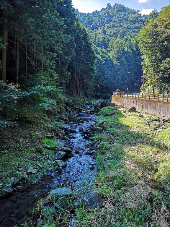
It was a short ride to Ogose, so I was comfortable even though, for once, I wasn’t on a limited express train. At 11am, I set off under a very hot sun. The first part of the hike was along a road next to a mountain stream. Along the way I stopped at a “Garden Terrace”, a kind of flower garden you can visit for free. It was officially closed at this time of the year, but the owner invited me in for some coffee and a piece of homemade cheesecake on their terrace in the middle of the garden. I was touched by their welcoming attitude, and after a friendly chat, I continued on my way.
View from near the start of the Shiroyama hiking trail
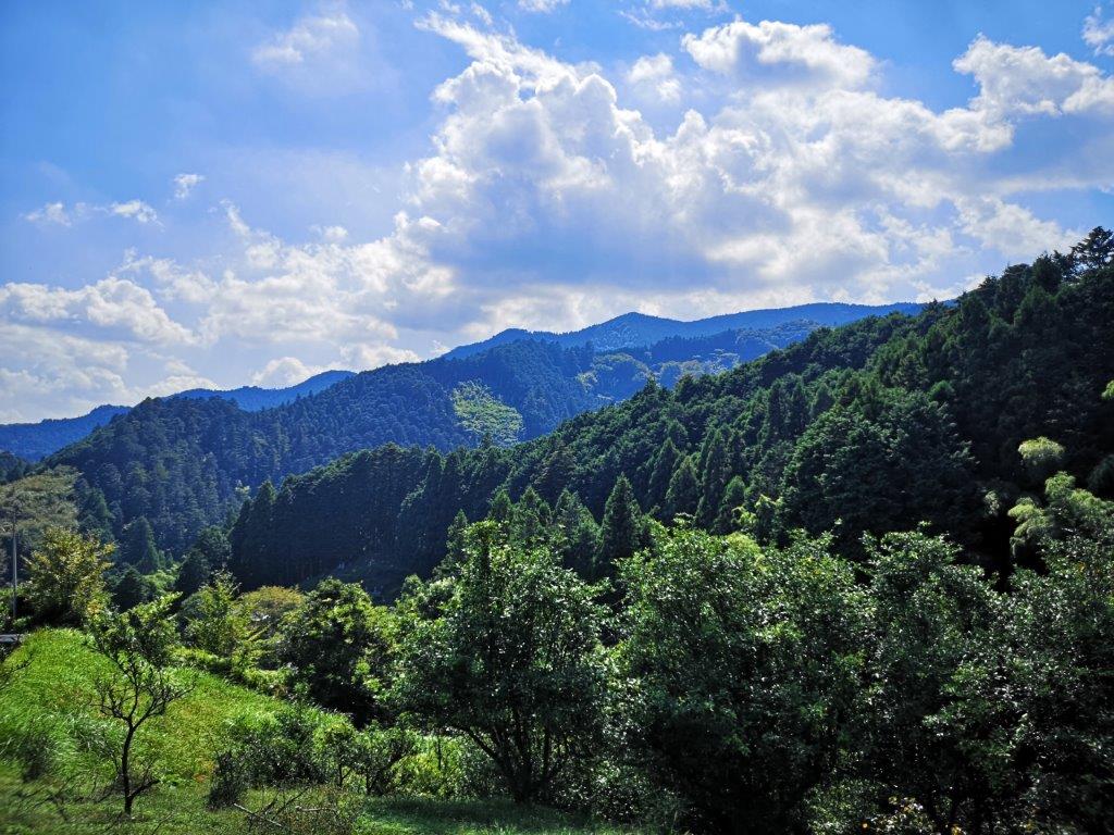
The hills of Tokigawa Town are also rich in hiking possibilities
After an hour of easy road walking, I reached the start of the Shiroyama hiking trail (城山ハイキング). From this point, I started waving a stick in front of me to clear the spiderwebs. Despite this, I still managed to walk into several cobwebs, luckily devoid of spiders each time. After some switchback climbing through thick forest, I reached the top of Mt Kozuke (小築山 こづけやま kozukeyama) around 1pm. The summit was in the trees so I soon moved on. The next section was through mixed forest with occasional views. I stopped for lunch at a place called “Moroto no Kuruwa” (もろとの郭) since I could sit down on a log and enjoy a view of Ogose to the west.
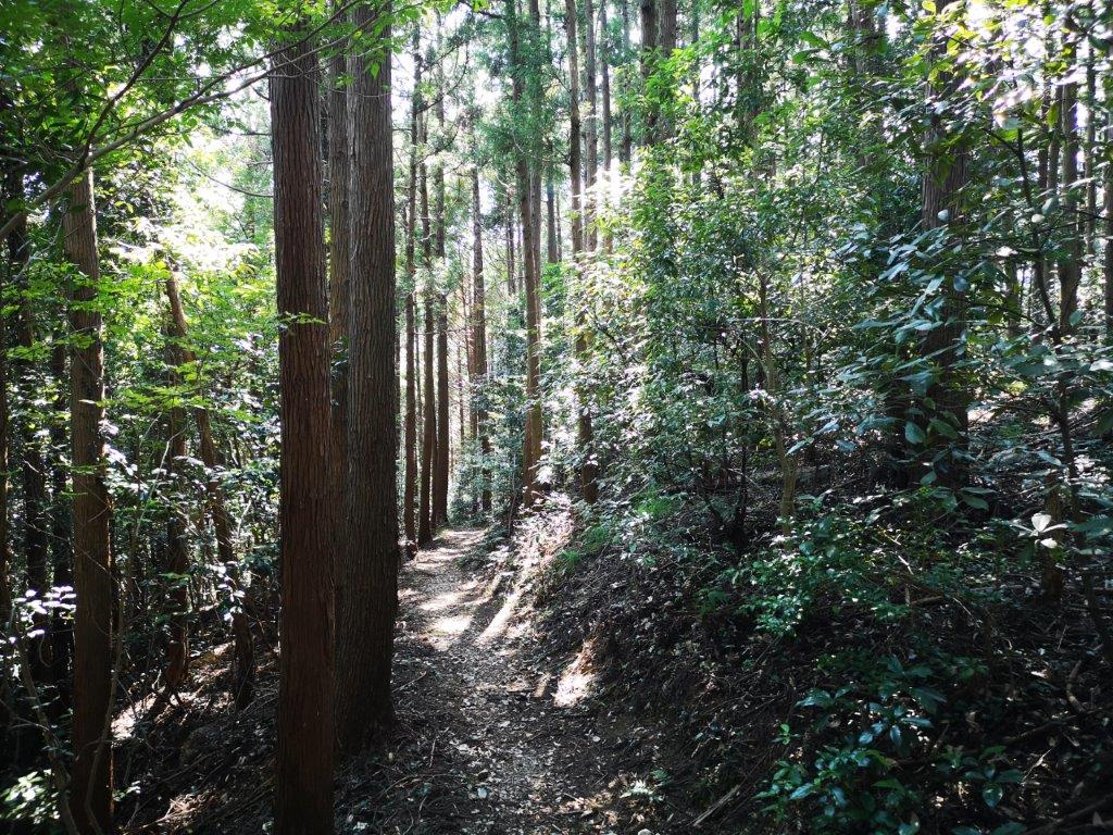
An easy to follow trail through the forest

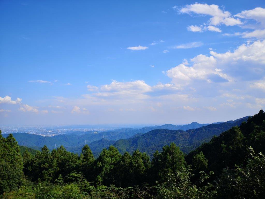
View towards Saitama from the Nosubari viewpoint
After lunch, I found myself on a gently rising path through dark forest. At 2pm, the trail started to climb steeply and very soon I reached Hananoki pass (花の木峠 683m) on the Odaira ridge (大平尾根), the highest point of the hike and just below the “Green Line”. The hiking path then exited onto a road and twenty minutes later I arrived at the Nosubari observatory (野末張見晴台). I had an excellent view of the Kanto plain and the eastern reaches of the Oku-Musashi hills. In the late afternoon, the sky was hazy so I couldn’t make out the skyscrapers of Tokyo. After a short break, I rejoined the trail just beyond the road and resumed my descent.
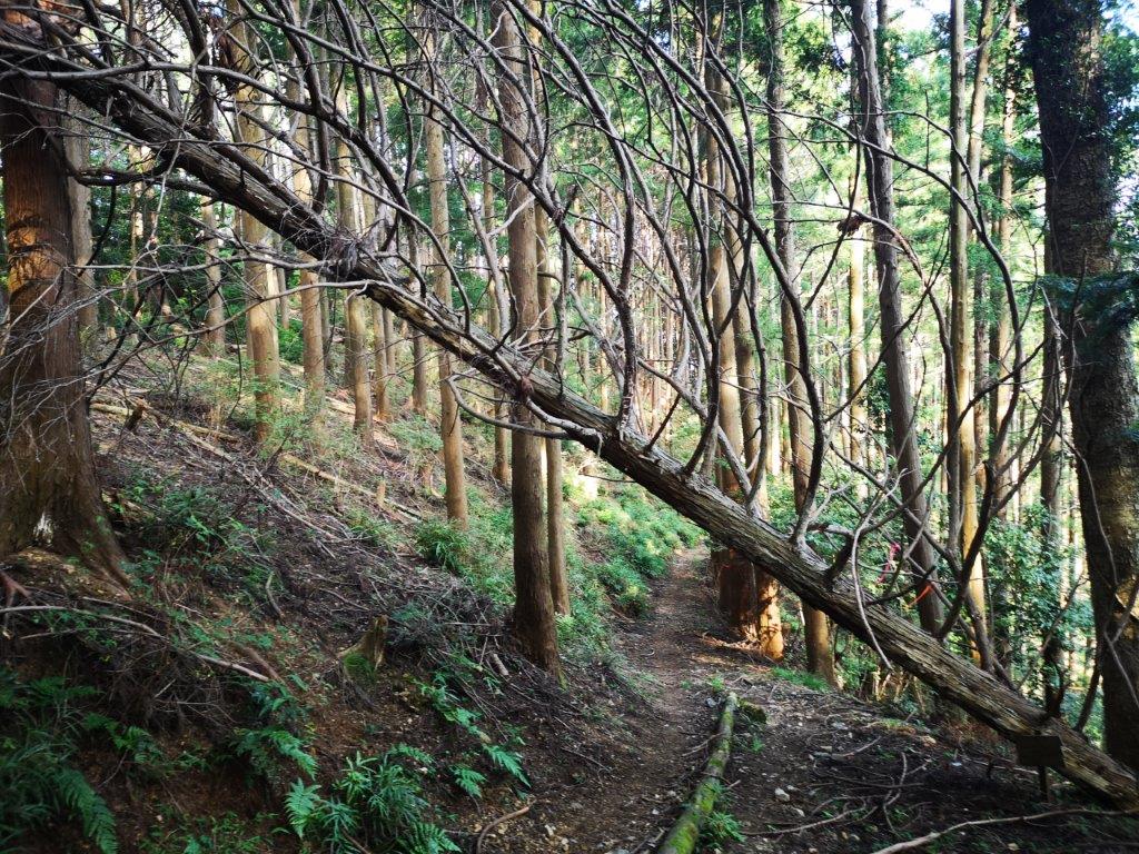
Trail *almost* blocked on the way down

The spider Red Spider Lily which flowers in the autumn
It took an another hour of quiet hiking down a peaceful valley shielded from noise to reach a paved road. Half an hour later I was back on the road I had taken in the morning, and soon after I was back at the bus stop. As I had some time before the bus, I decided to explore the nearby Umesono ume no Eki (うめしの 梅の駅) where I bought some craft sour made from local lemons and plums (I had it at home and it was great). Around 5pm, I caught the last bus back to Ogose station and by 5h30 I was sitting on the train for the short ride back to Tokyo.
Watch a video of hiking in Ogose (includes a spider and a caterpillar)


Caterpillar spotted just past the end of the hiking trail