

I had done many hikes in Yamanashi, but I had never been to the hills between Yamanashi and Kofu cities. My hiking guide had two suggestions for that area, but, after studying my map, I ended up choosing another mountain in-between, because it was shorter and easier to access. I would take a taxi from Yamanashi-shi station to the start of the trail, and after a loop hike, return on foot via a road to a hot spring, and Kasugaicho station on the local Chuo line. Although the trail went through a rocky area, it didn’t seem to present any major difficulties. I was more concerned about spiders and their webs blocking the way, a recurring headache when hiking under 1000 meters in September and October. The weather was supposed to be cloudy at first with sun in the afternoon, and since there was a viewpoint near the top, I hoped I could get to see the mountains of Yamanashi as well as Mt Fuji.

View south from the rocky area
The weather was gloomy and cloudy as I rode the limited express out of Shinjuku. It didn’t seem like I would get any views today, as white mist spilled out of the valleys on both sides of the Chuo line. I asked the taxi driver to drop me off at “Nageshi Somen“, close to the start of the trail, and less than ten minutes away. As I got ready for the hike, I felt that despite the overcast weather, I was lucky that the temperature felt just right for hiking.
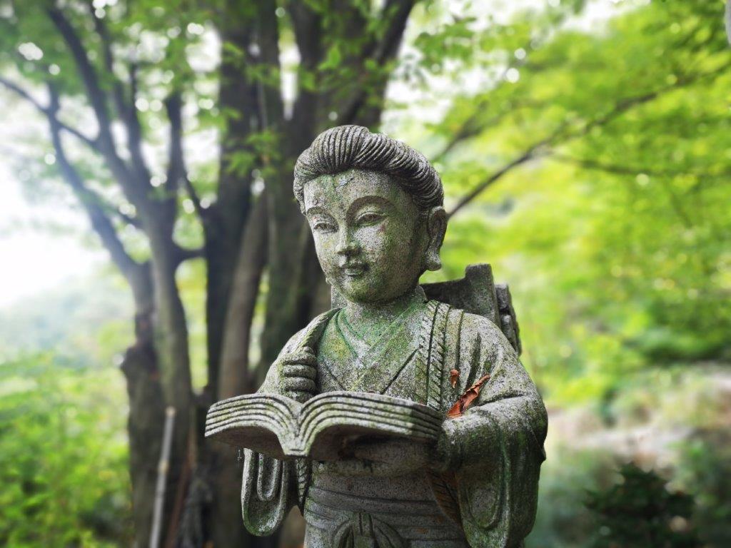
Statue near my taxi drop-off point

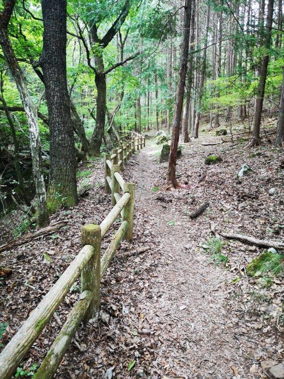
An easy to walk path at the start of the hike
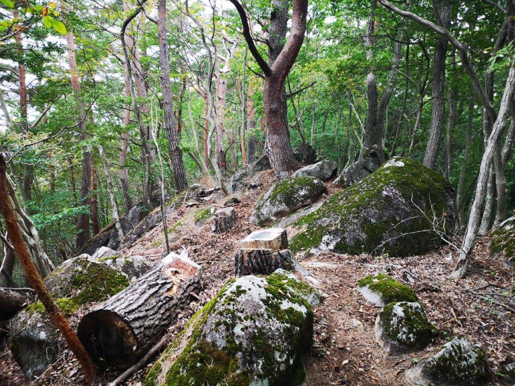
After walking along a dirt road for twenty minutes, I arrived at a fireworks store and the start of the hiking trail. I was soon walking on a flat wide path through pleasant forest next to a small river. It took another 20 minutes to reach the start of the “rocky area” trail (岩場コース iwaba-kosu). After a short climb up the side of the mountain, I reached the the rocks and cliffs on the east side of the mountain. I took a break to observe some people practice their rock climbing skills on a huge boulder (see video).
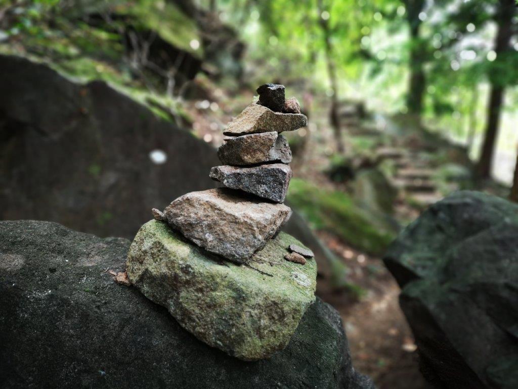
Cairn along the first part of the “rocky area” trail
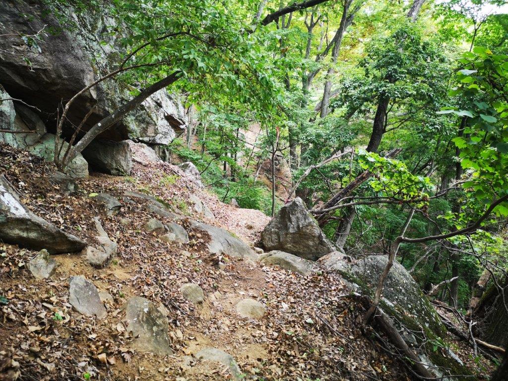
Walking between the rocks on the east side of the mountain
I reached the first viewpoint of the day as the noon chime echoed through the wide valley below. Directly below, I could see the Kasugai golf course and, on the other side of the valley, the foothills of the Misaka mountains, their peaks lost in the low clouds. I was now halfway up the “rocky area” trail and I had fun scrambling between and over rocks of various sizes, using fixed chains to pull myself up when necessary. I could also relax since there were no webs spun across this section of the trail.
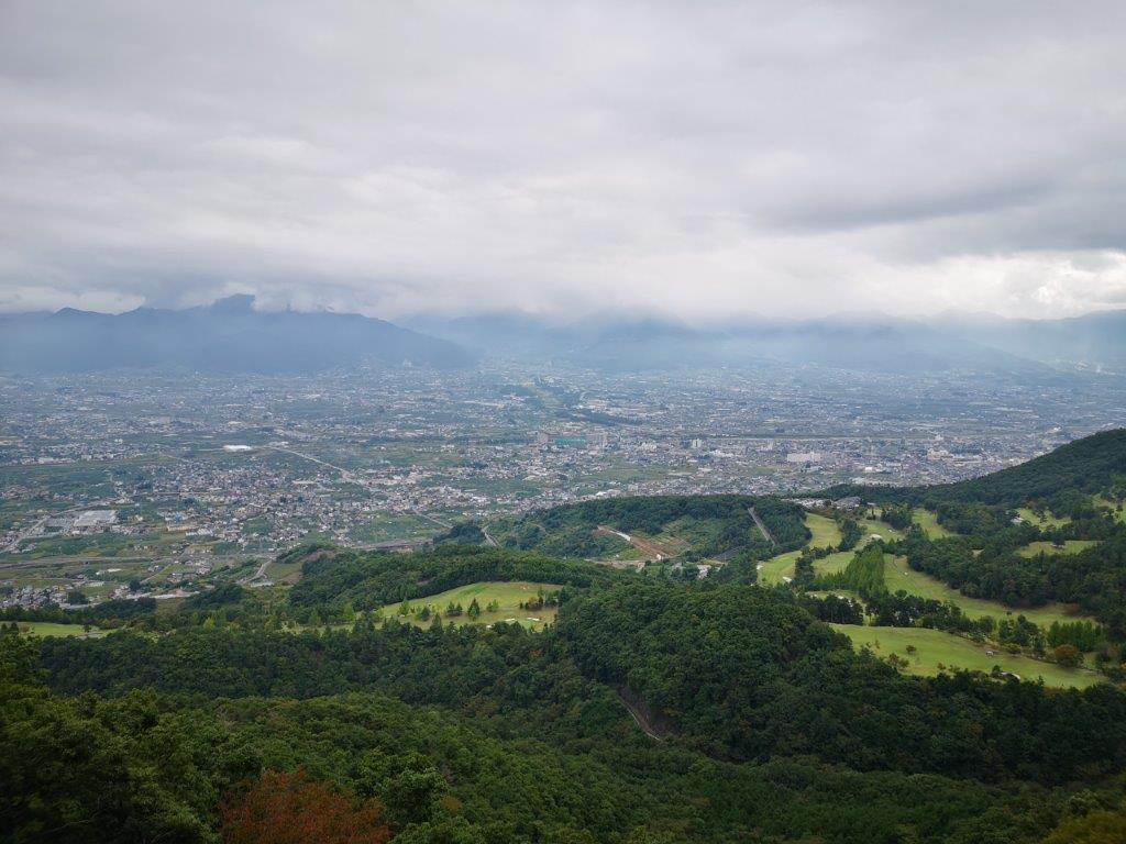
Kasugai golf course and the Misaka mountains

My lunch view – somewhere to the right is Mt Fuji
I soon reached a gently sloping ridgeline, and by 12h30 I was standing on top of Mt Kabuto (兜山 kabuto-yama), meaning helmet mountain because of its rounded shape. The summit, a hundred famous mountain of Yamanashi, was completely in the trees, but after walking south along a short path, I arrived at a bench with a view through a break in the trees, a good place for lunch. The weather hadn’t really improved, and although I was supposed to be able to see Mt Fuji, just 30 kilometers away behind Mt Oni and Mt Settou, all I could make out was a white wall. After lunch, I made my way back to the summit and followed the trail west through the forest.
A rocky narrow ridge near the highest point of the hike

View on the way down at the edge of a deforested area
I walked along a rock strewn ridge, slowly rising to an altitude above 1000 meters, the back of the helmet perhaps; for the first time this season, the air felt chilly. The path then suddenly dropped down the back of the “helmet”, and as the temperature went back to comfortable, I had to start dodging spiderwebs again. Luckily for me, each time I stepped into one, its maker was on the higher half, just above the top of my cap. I turned left into a valley and was now walking through the beautiful “Kabuto-yama no Mori” (the Mt Kabuto forest). I was the only hiker around and I was constantly spooked by falling acorns. At 2pm, I reached a forest road between a deforested area and Umezawa river, the same one I had followed earlier in the day.

Looking back at Mt Kabuto
View from the road between the golf course and the vineyards
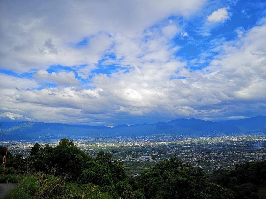
I walked at a leisurely pace to the parking lot near the start of the “rocky area” trail, completing the loop. I then continued on a paved road, with the river below on the left and a golf course on my right. Looking back, I could see the helmet-shaped summit of Mt Kabuto. Ahead, I had a bird’s eye view of Kofu valley. The weather was finally improving and patches of blue sky were visible above. After a steep descent through some vineyards, I arrived at the Iwashita hot spring inside a building dating from 1888. It was just past 3pm, so I had time for a quick dip, before walking to the nearby train station. I rode one stop and switched to the limited express for the eighty minute ride back to Shinjuku.
Hiking over “Helmet mountain”

Thanks David for the write up.
It feels good to re-visit mountains I have climbed.
By the way it’s one of the 100 famous mountains of Yamanashi and not Gunma !( a writers devil I spotted)
Oops! yes, haha, thank you for pointing that out! a nice little gem indeed.
Looks like not an easy one (need to use chains) …?
The chains are not strictly necessary – I like to use them as it’s easier than finding a good hold on the surrounding rocks – however there is a short section where you need to use your hands to climb through the rocks; I don’t believe it’s dangerous but you need to be steady on your feet. According to this pdf from the Yamanashi prefecture website, Mt Kabuto is graded A2 which means it’s a fairly easy mountain to climb.
Click to access grading-eng.pdf