
![Onjuku Coast Walking Path, Onjuku Town and Isumi City, Chiba Prefecture, Saturday, January 10, 2026 [Highest Point 62m]](https://hikingtokyo.com/wp-content/uploads/2026/01/26.jpg?w=1024)
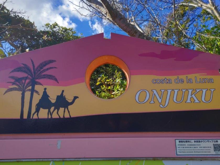
I was looking for a low elevation hike for a cold winter day. I decided to continue last year’s hike along the Fureai no Michi on the Pacific side of the Boso Peninsula. I’d get to walk on Onjuku beach, famous for its white sands; visit the Mexican memorial commemorating a Spanish shipwreck 400 years ago; finally, check out a Buddhist temple perched above the ocean; if time allowed, I could drop by a couple of secret beaches off the main route. A popular place in summer, I hoped it would be nicely deserted in the middle of winter.
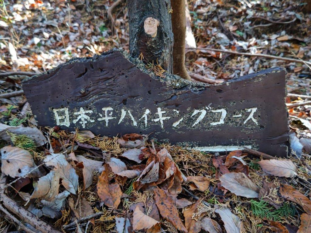
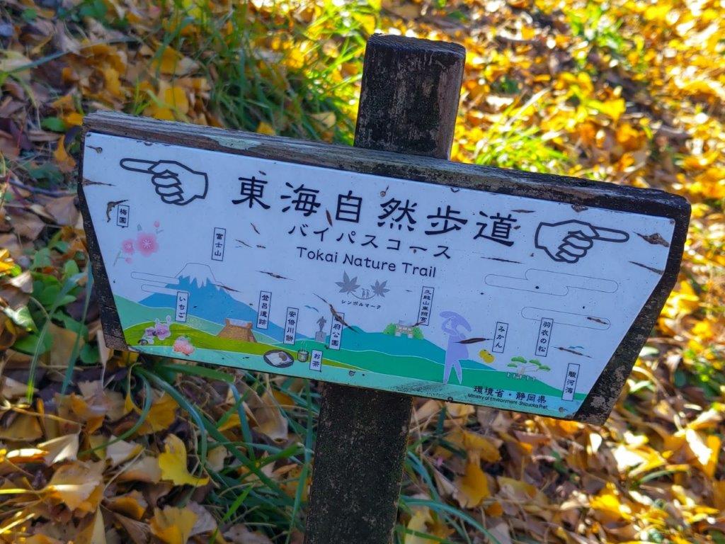
Hiking the Fureai no Michi ふれあいの道
To get to the start of the hike, I’d ride the limited express Wakashio from Tokyo station to Onjuku station. For the return, I’d catch the local JR Sotobo line from Namihana station and ride one stop to Ohara station; there, I could transfer to the Wakashio bound for Tokyo. The weather was supposed to be sunny in the morning with some clouds in the afternoon; the temperatures would be mild for the season but with strong wind. I was looking forward to a relaxing walk with some good views of the Boso coastline and the Pacific Ocean.
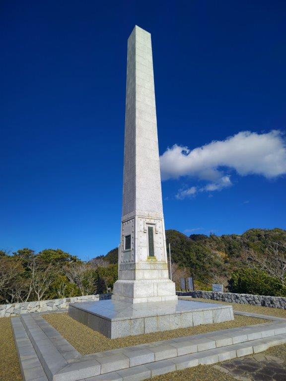
Steps leading up (left) to the Mexican Memorial (right)
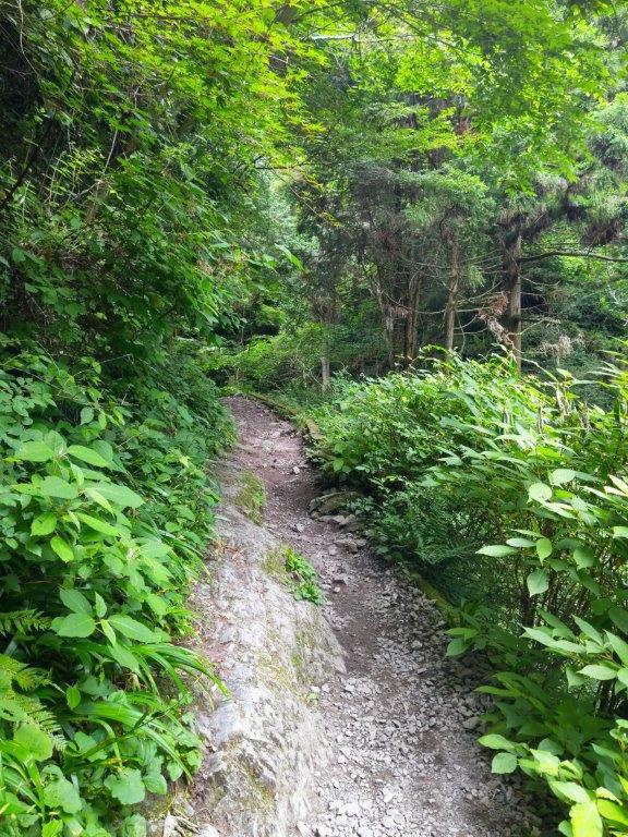
Ohazuki Coast (left) Tunnel for Koura Coast (right)
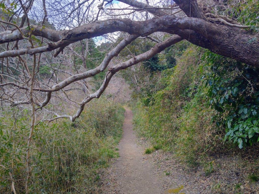
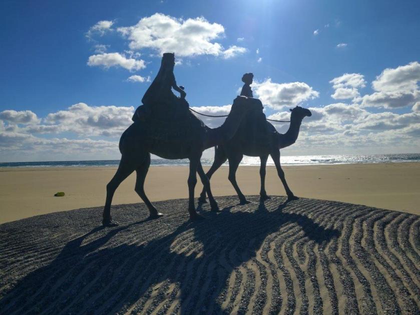
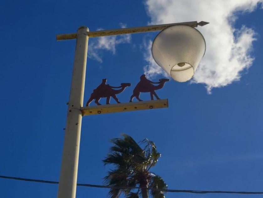
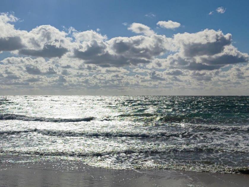
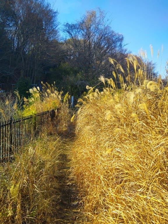
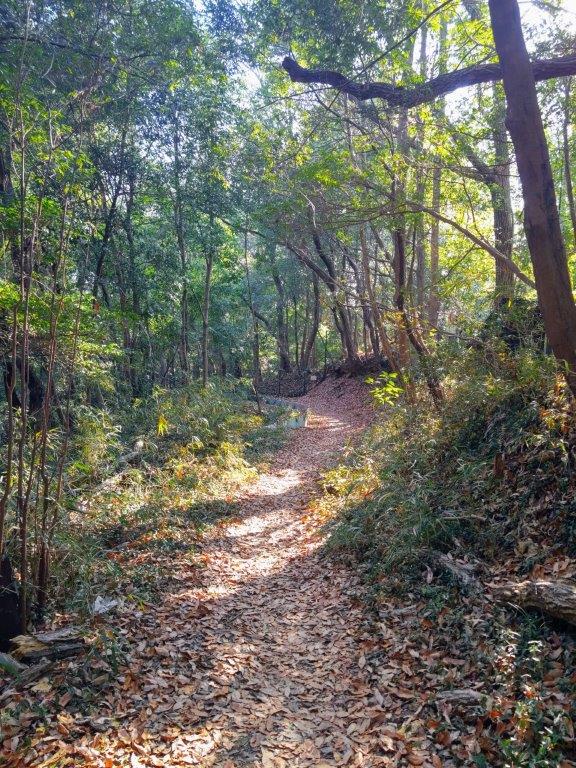
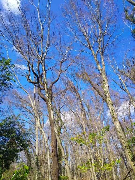
It was a blue sky day as I rode the limited express through the Chiba countryside, arriving at Onjuku station a little before 10h30. After walking alongside the Shimizu river, partly hidden by swaying pampa grass, for 15 minutes, I reached the start of the sand dunes and spotted two camels up ahead. I thought it was a mirage but upon getting closer, I realised it was actually two statues, called “Tsuki no Sabaku” (月の砂漠 “Desert of the Moon”). As I approached, the wide sandy expanse of Onjuku Beach came into view.
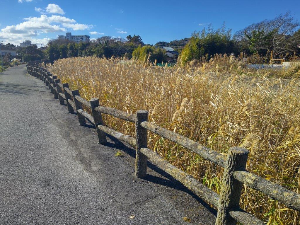
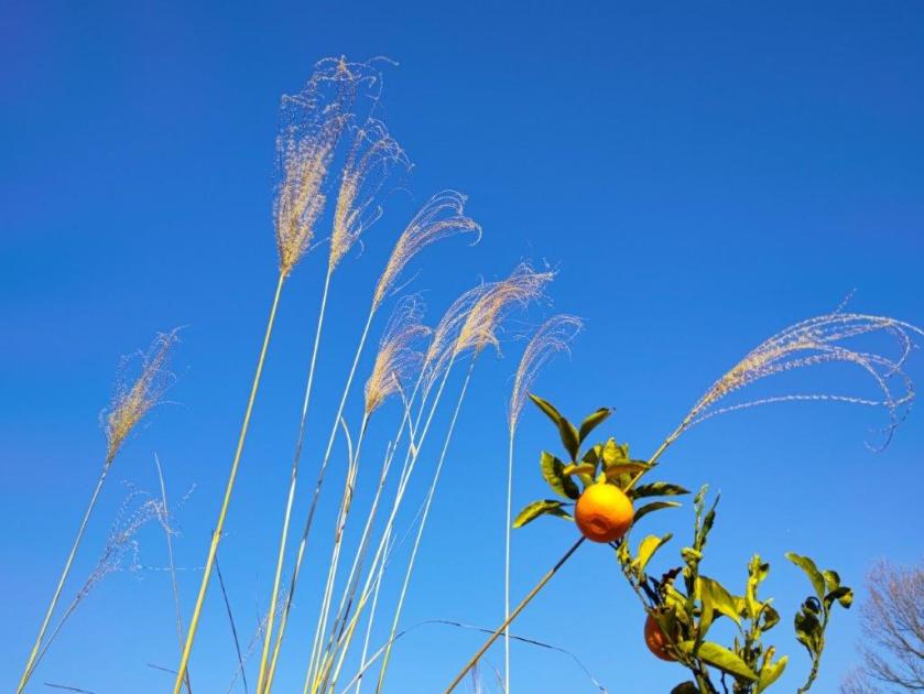
Pampas Grass hiding the Shimizu River
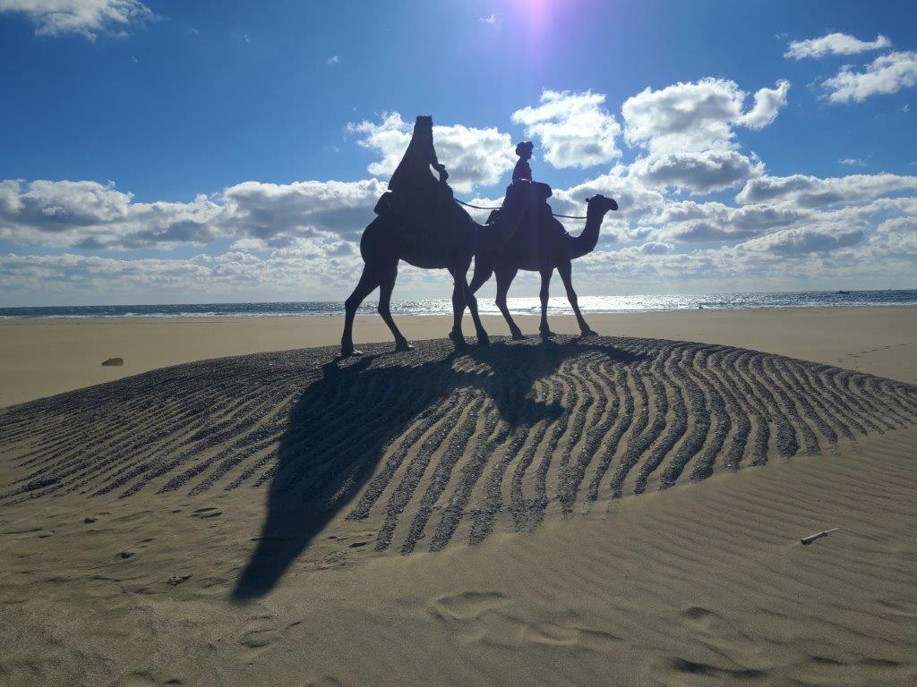
The Tsuki no Sabaku Memorial Statue
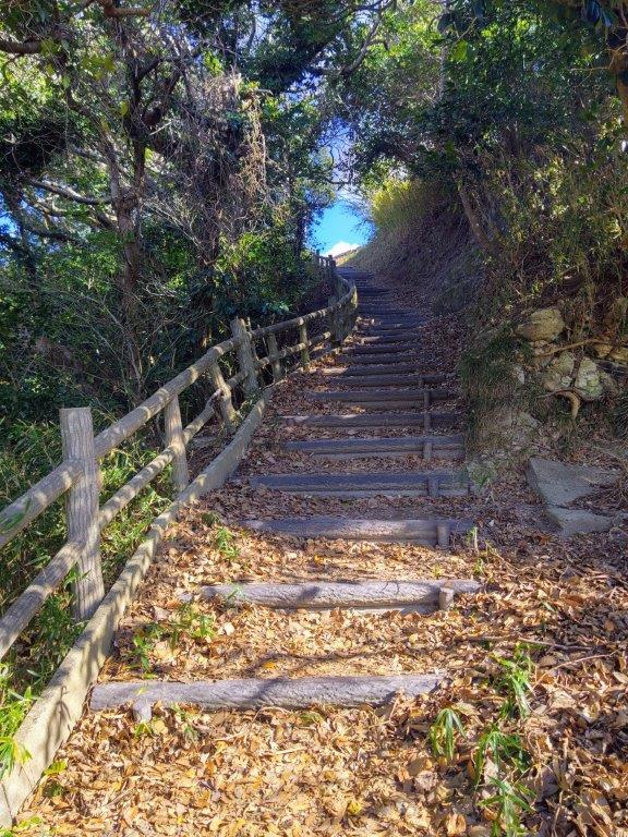
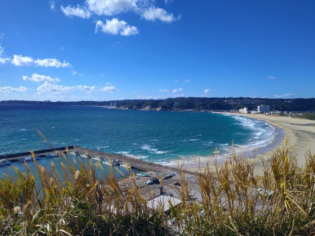
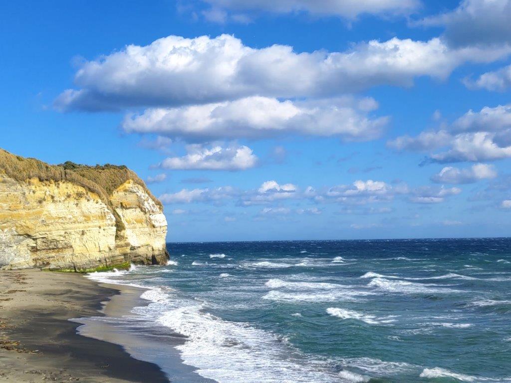
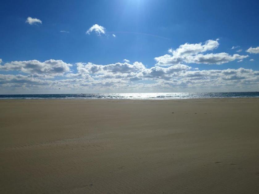
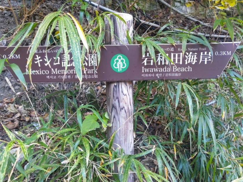
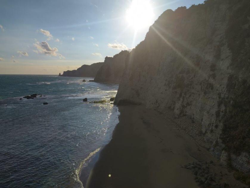
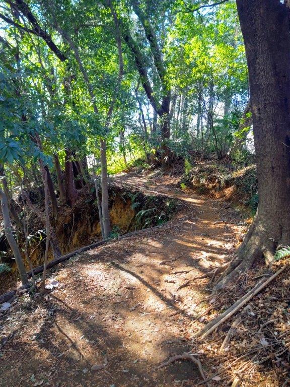
I was amazed by the fine white sand, unlike any other beach in the Tokyo area. On the far side, cliffs rose above the ocean, enclosing the curving beach within the bay. The wind was blowing so hard I had to face the other way to protect my eyes from the tiny grains of sand flying through the air. I soon arrived at Iwawada Coast (岩和田海岸). I turned left before the fishing port, leaving the coast temporarily, and followed the signs for the Mexican Memorial. Very soon, I reached some steps leading up the back of a cliff; beyond a pass, I turned right at a junction and soon reached an open shelter with a viewpoint on the west side.
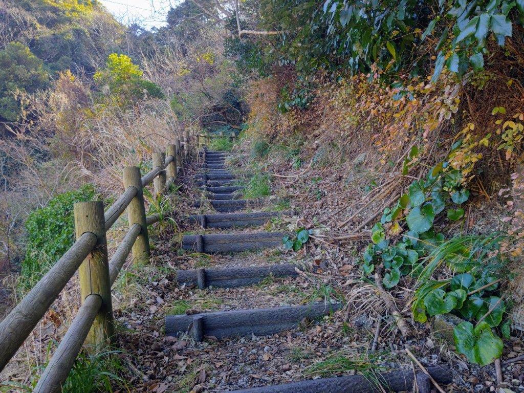
Steps Leading up the Back of the Bluff
View of Onjuku Beach from near the Mexican Memorial
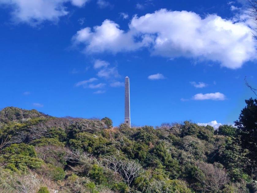
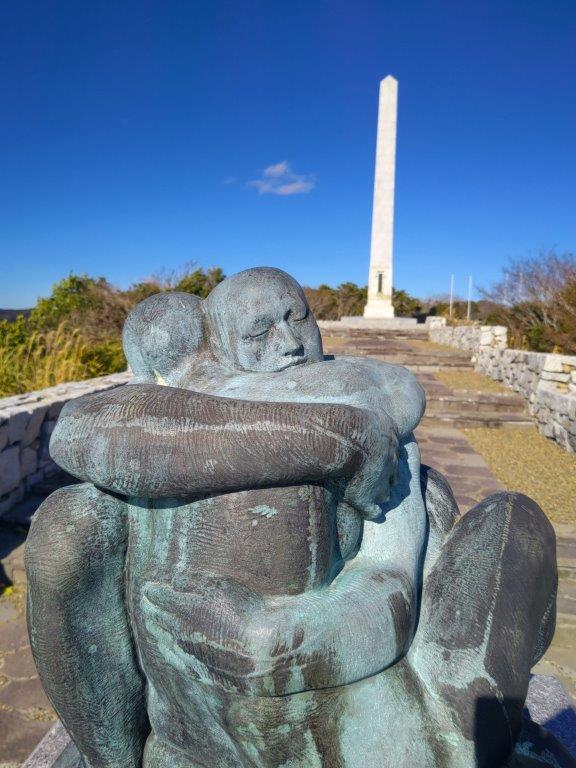
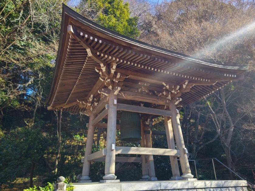
I was glad to get a bird’s eye view of Onjuku beach, completely deserted in this season; the green blue sea, white foamy waves, and pale yellow sand, framed by dark green bluffs rising in the background, created a scenic tableau. Looking down, I could see the Iwawada Fishing Port; above were birds of prey gliding through the sky. I headed back to the junction, and continued towards a soaring column on top of the next rise. After making my way up some more steps, I arrived at the Mexican Monument, commemorating the 1609 shipwreck of a Spanish vessel from the Philippines, and heartwarming rescue of the survivors by the local Japanese.
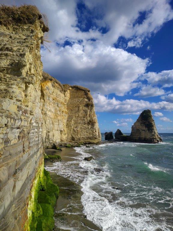
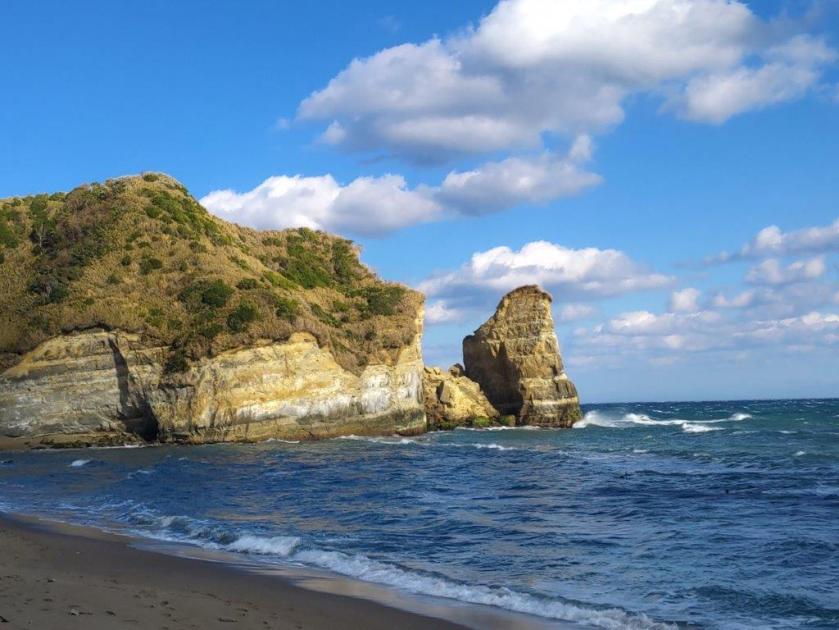
Ohazuki Coast and Candle Rock
Spot where Don Rodrigo set foot on Japan
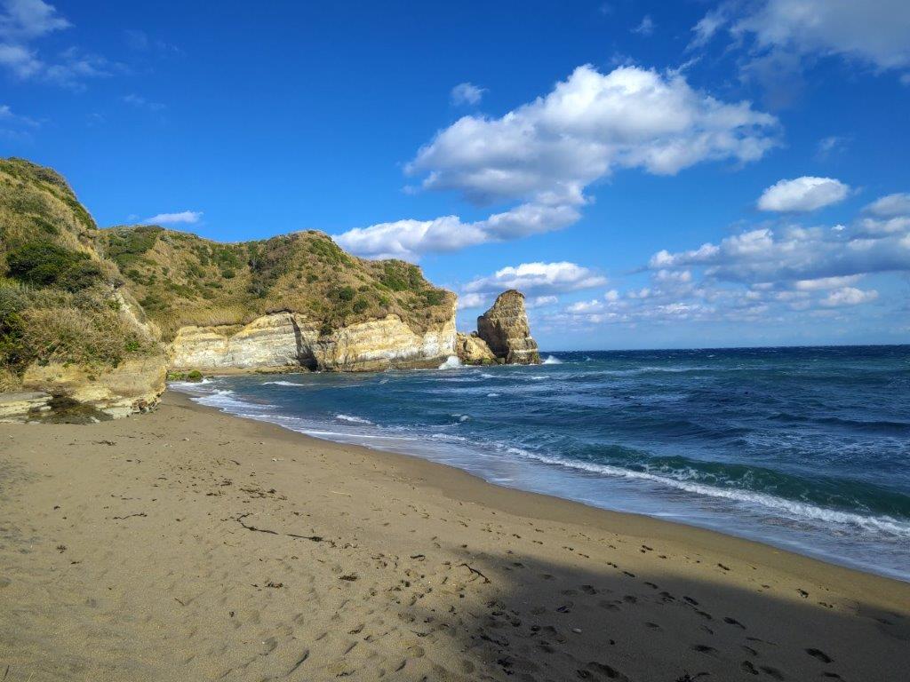
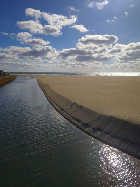
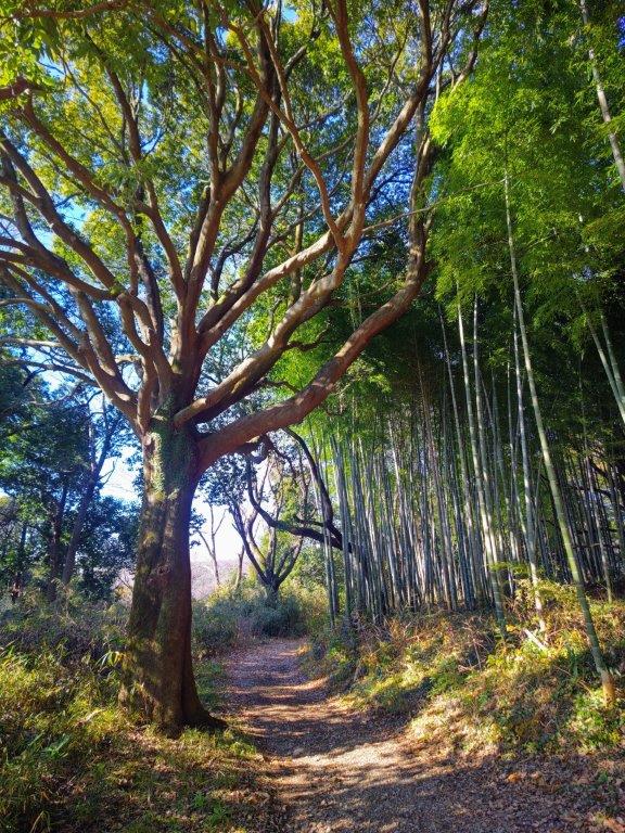
I was moved to read that Miura Anjin, whose life story I had just read, had built the ship allowing the remaining crew to continue their trip to Mexico. It was a little past noon so I decided to stop for an early lunch . Afterwards, I headed down a road back to sea level, and turned left upon reaching a main road, following the omnipresent Kanto no Fureai Michi signposts. Around here, I came across a “kyon“, a kind of miniature deer, foraging for food before vanishing into the bushes. A little further, I headed down an unsignposted footpath on the right side. After a 5-minute walk next to a bubbling brook, the surrounding view mostly blocked by tall grasses, I arrived at Ohazuki Coast (大波月海岸) one of the hidden beaches on today’s hike.
View of the Beach where Don Rodrigo was Shipwrecked
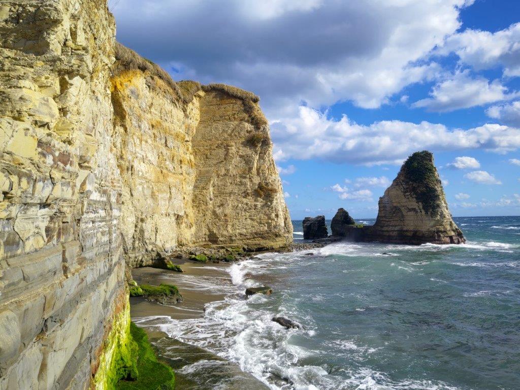
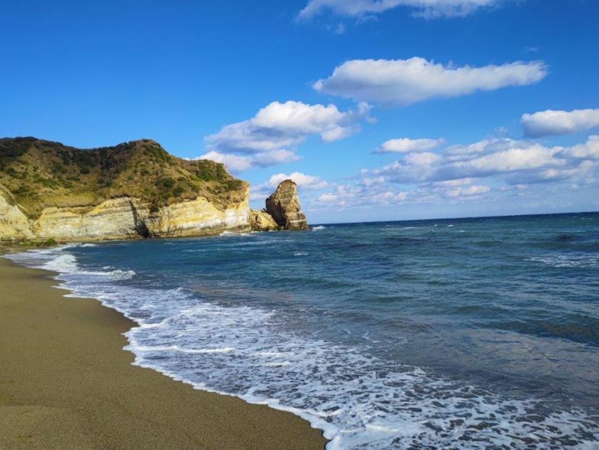
Koura Coast and Notto no Hana
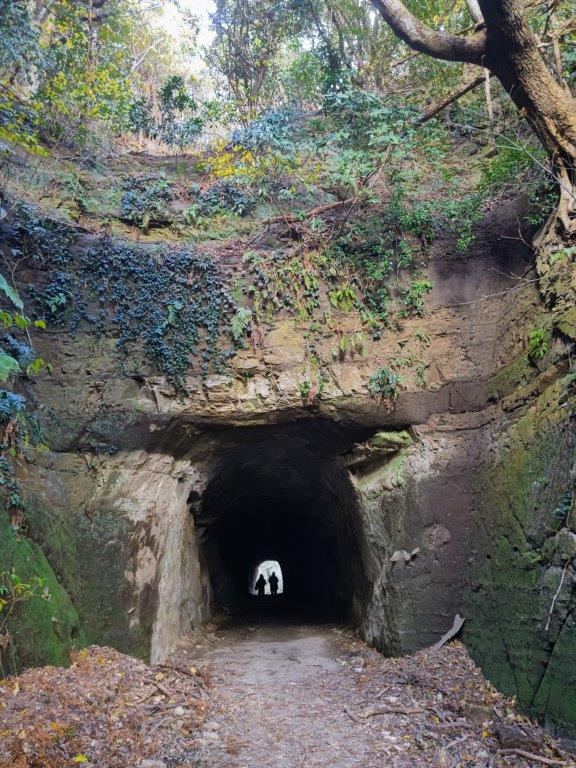
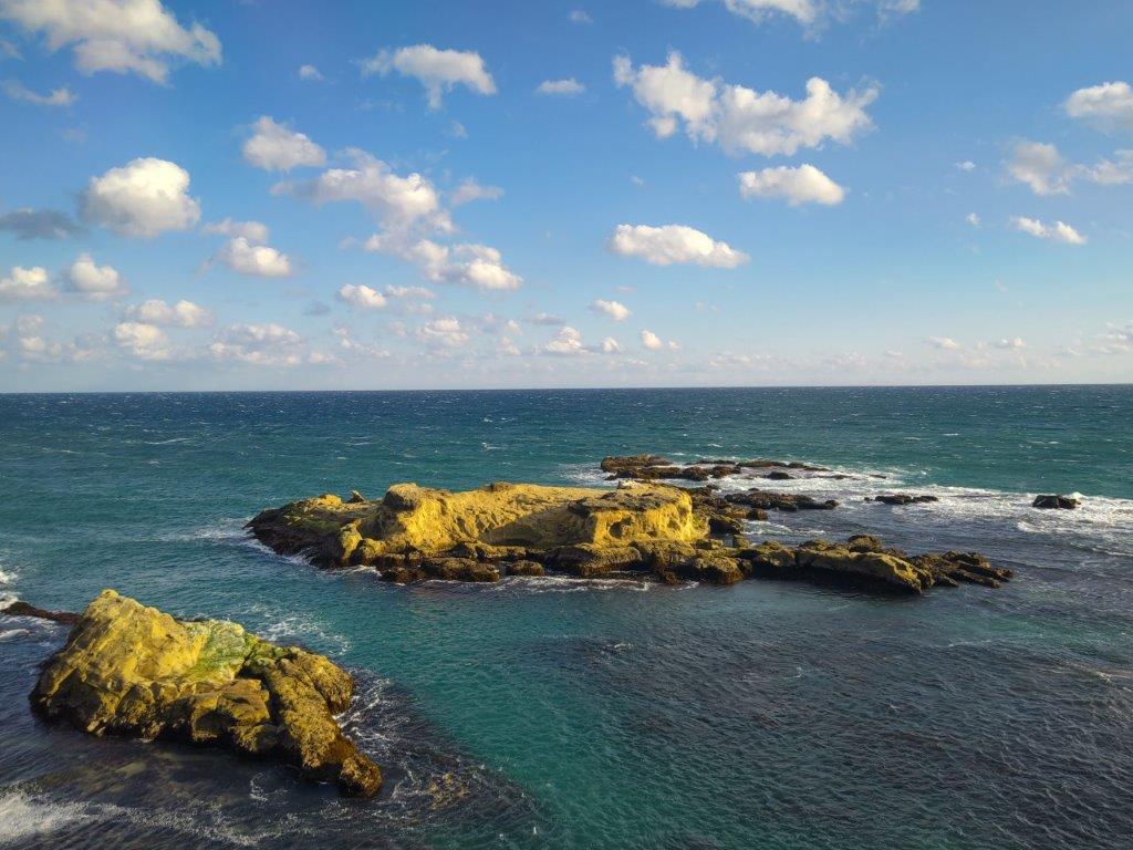
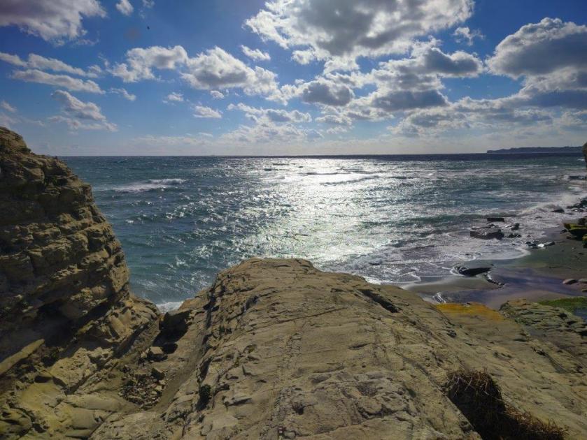
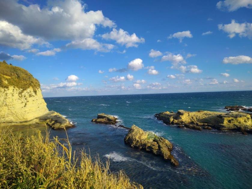
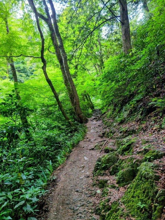
I was stunned by the view of the golden cliffs ending at Roskoku-iwa (ロウソク岩 meaning Candle Rock) in the distance. The wind was frighteningly strong so after snapping a few shots, I quickly retreated back to the road. A little later, I reached the actual spot where the ship of Don Rodrigo, who was the governor of the Philippines at the time, had landed. I took a moment to imagine the shipwreck rescue scene before moving on. Just a little further, I reached the entrance path for the second hidden beach of the day. After a 10-minute walk, including a spooky passage through a dark tunnel, I reached Koura Coast (小浦海岸), a wide beach framed by cliffs on each side.
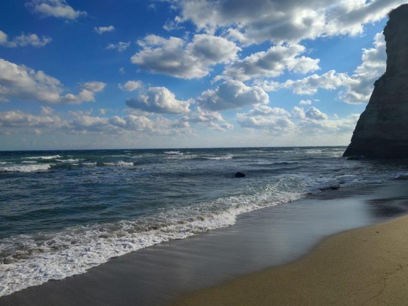
Heading back from Koura Coast
Hyotan Pond on the way to Iwafune Jizoson
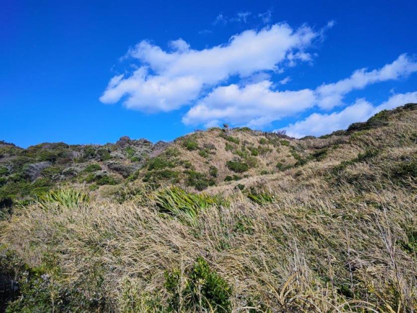
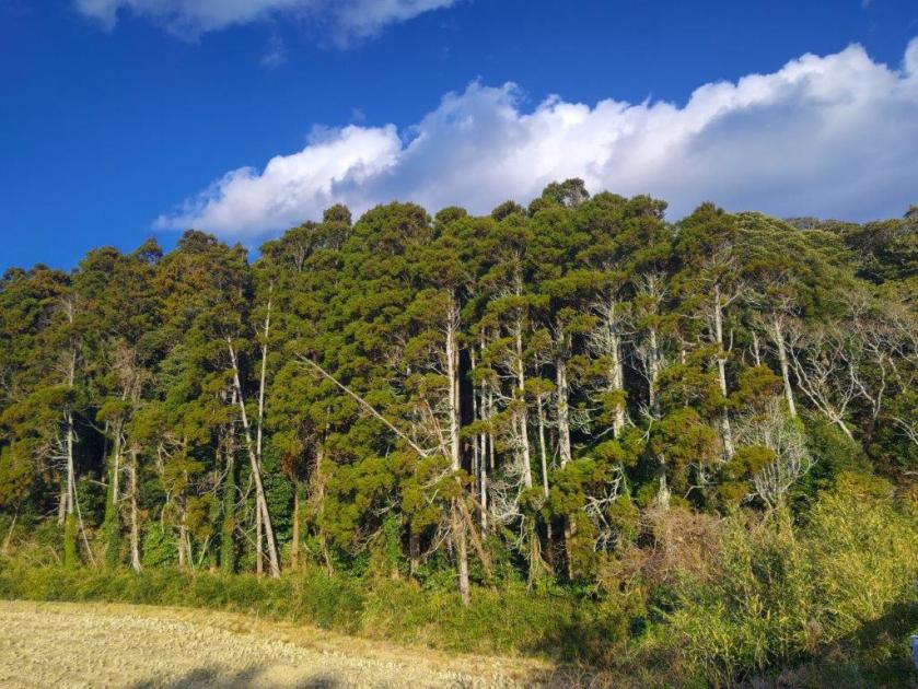
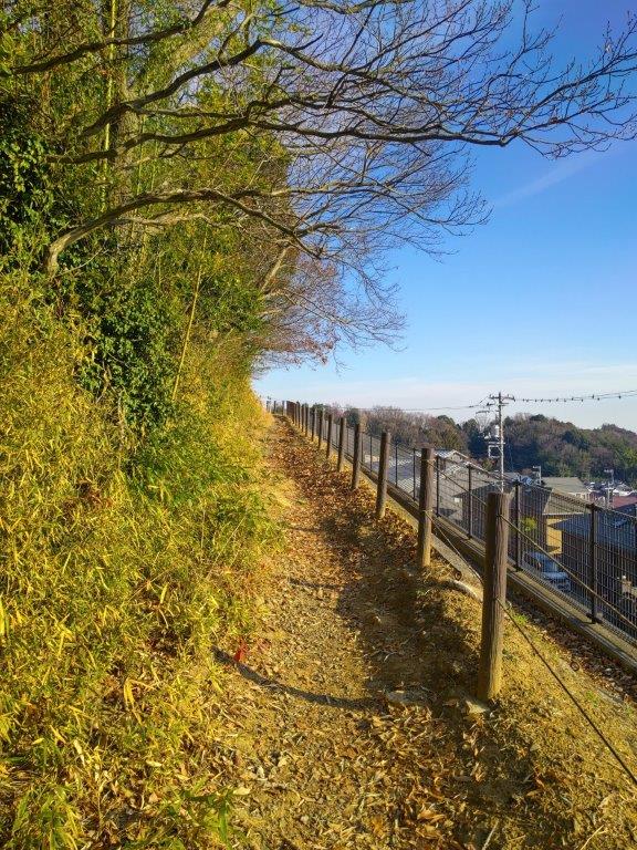
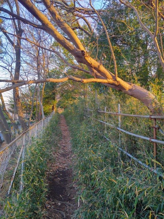
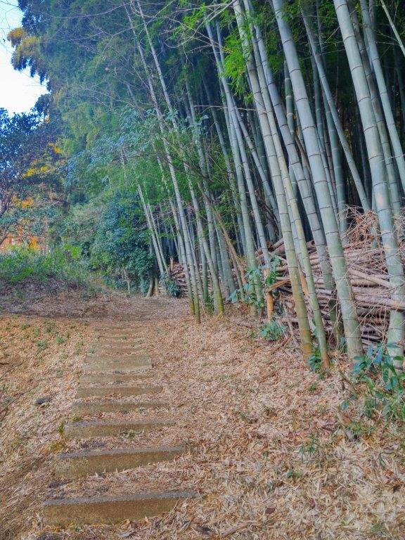
I was impressed by the unexpected view of the yellow bluffs topped with green bushy vegetation, the colours enhanced by the sun, already low in the sky; they extended northwards, ending at solitary Notto no Hana (ノットの鼻) rock. . I took a moment to enjoy the sound of crashing waves and then made my way back to the main road which I then followed to the top of a hill, also the highest point of the hike. Thick vegetation on both sides meant only blue sky was visible above, although more and more clouds were fast approaching from the South. Eventually, I emerged into a charming cultivated valley and turned right onto a smaller road which led through the first of two short tunnels.
Ocean View form Tsurushi Coast
Iwafune Jizoson on the sea under blue skies
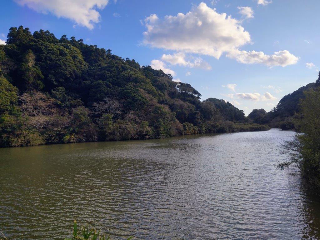
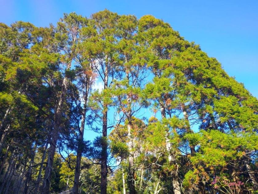
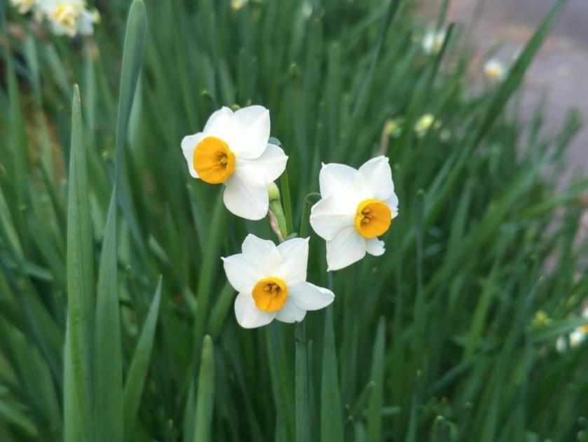
Past the tunnel, I was delighted to discover a profusion of white and yellow “suisen” (daffodils) on each side of the road, most of them fully open, my first time catching them at this stage. Overhead the sky was totally overcast, tall cedars swaying dizzyingly in the gale. Past a small shrine and a second tunnel, I arrived at Hyotan Pond (meaning “Gourd Pond”), also the head of another cultivated valley. I found it curious to see a flat body of calm water so close to the crashing waves of the Ocean. A little further, I reached Tsurushi Kaigan (釣師海岸 meaning “Angler Coast”) another scenic viewpoint of the coastline, situated at a bend of the road.
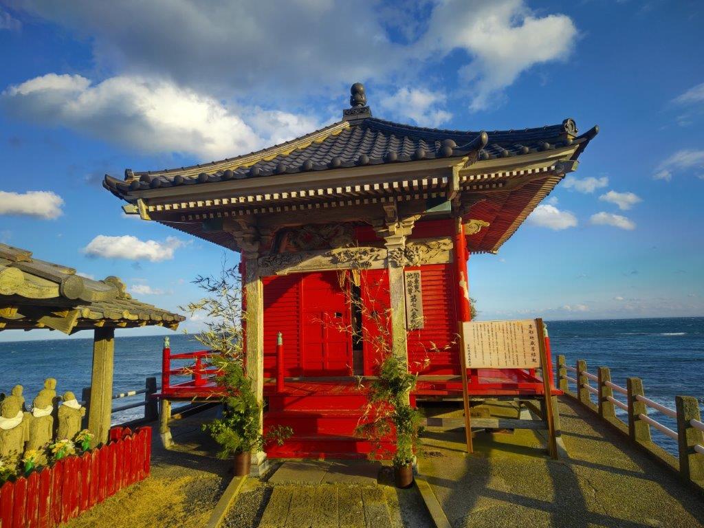
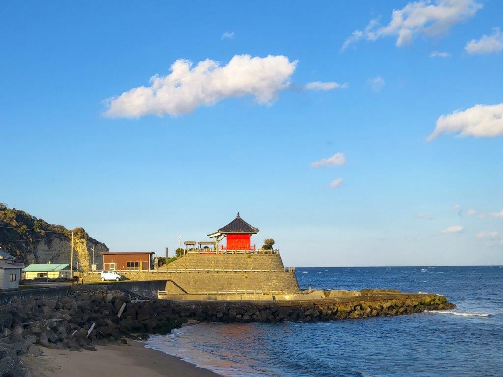
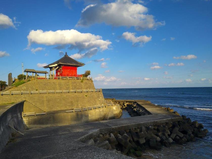
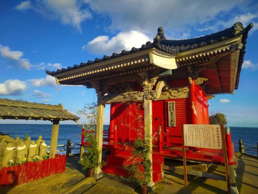
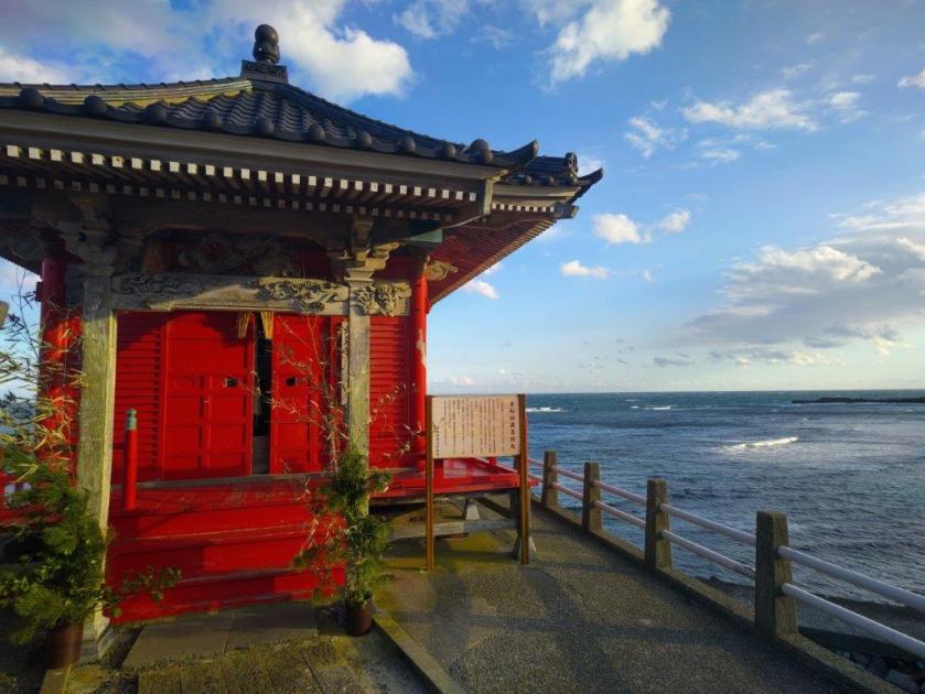
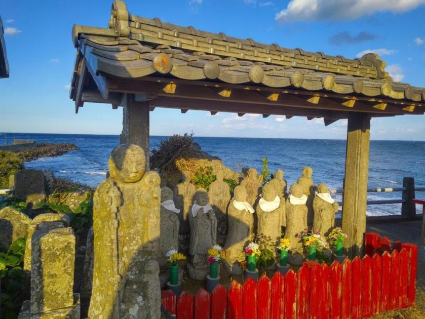
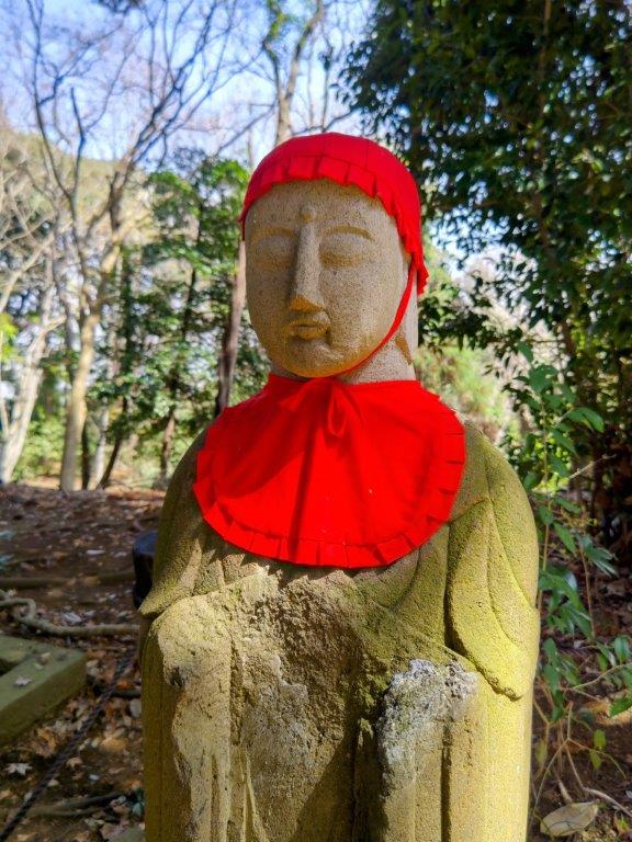
Bright Red Iwafune Jizoson Temple
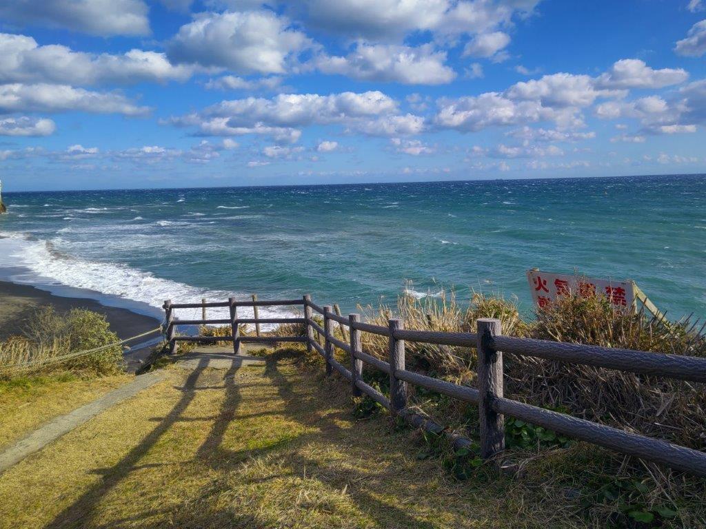
Sunset from Namihana Station
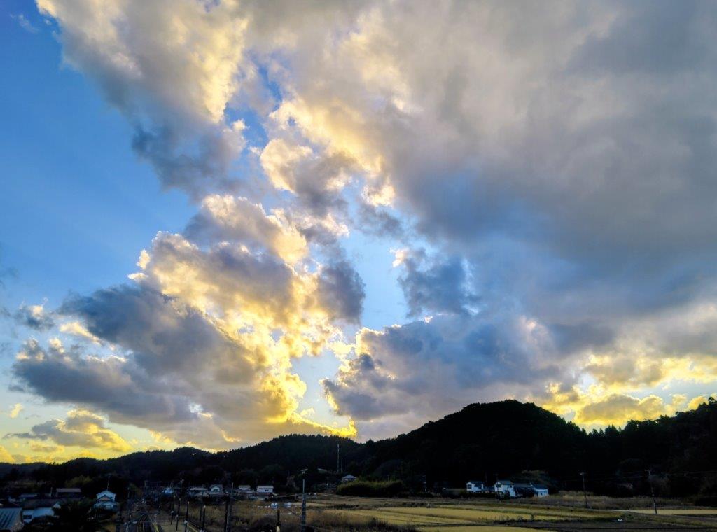
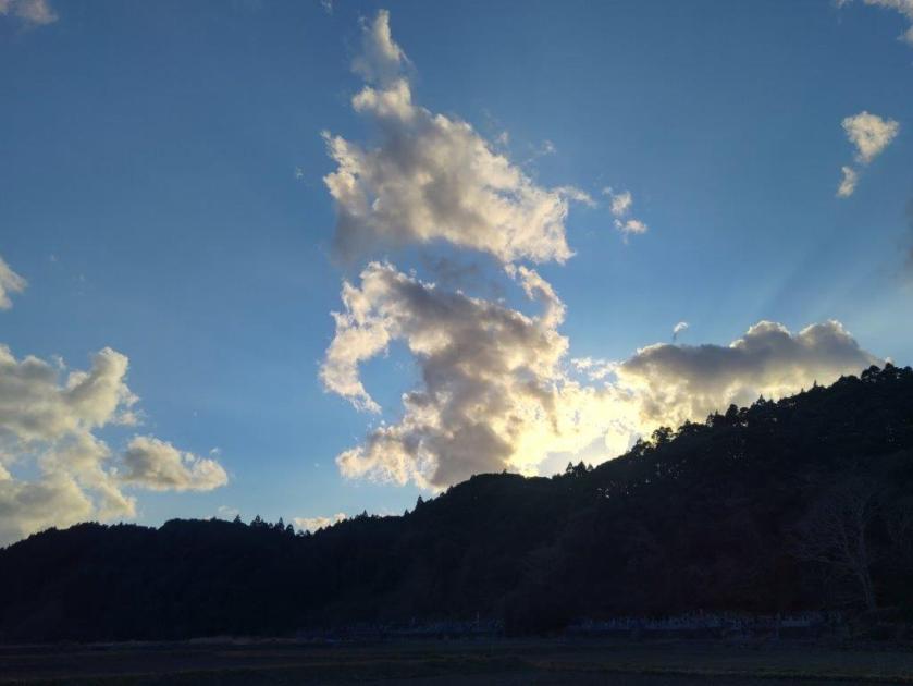
I was excited to get another view of the spectacular coastline; the clouds had thankfully moved on and the afternoon light coloured the cliffs and rock islands in gold and copper. It was 3pm and I had to step up the pace to finish before sunset. Up ahead, I could soon see the red shrine building of Iwafune Jizoson (岩船地蔵尊) famous for its Jizo statues. It was a picturesque scene, the red shrine contrasting with the blue sky above. After briefly checking out the Jizo statues, I turned left at the Iwafune fishing village, following the road through a tunnel and into the valley I had first glanced near Hyotan Pond. I arrived at Namihana station at 4pm, as the sun set behind the low inland hills, illuminating the clouds in yellow and orange, a fine finish to a spectacular hike.
Watch a Video of the Hike

See More Pictures of the Hike


![Mt Yadaira (860m), Otsuki and Uenohara Cities, Yamanashi Prefecture, Friday, December 30, 2022 [Map Available]](https://hikingtokyo.com/wp-content/uploads/2023/04/dsc_28292.jpg?w=1024)


You must be logged in to post a comment.