

I had been up Mt Mito twice before, in 2010 and 2018, but felt it was time to revisit this 300 famous mountain of Japan inside the Chichibu-Tama-Kai National Park and the Hinohara Tokyo Citizens’ Forest. I wanted to walk though beautiful forest, see some more Autumn colours, as well as explore new trails close to the capital; with luck, I’d also get a view of Mt Fuji from the summit. Looking at my map, I decided to go up the Otaki and Buna Paths, as I did in 2018, but descend via a new route, the Miyama Path; I’d pass another summit on the way, and end up on the Otaki Path again for the last leg back.
Hiking in the Chichibu-Tama-Kai National Park
秩父多摩甲斐国立公園
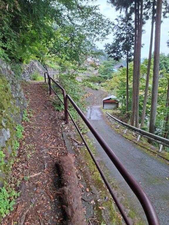
To get to the start of the hike, I’d ride the Ome line to Hajima and change to the Istukaichi line for the short ride to Musashi-Itsukaichi station. From there, I’d board an express bus for the one-hour trip to Tokyo Citizen’s Forest, the end of the line. I decided to catch the mid-morning bus and take the last one of the day back, meaning I’d need to finish well on time today. The weather was supposed to be clear in the morning turning cloudy in the afternoon. I hoped I’d be able to get some views before the sun vanished and that it wouldn’t be too cold on top of one of Tokyo’s highest peaks.

Start of the Hike (left) Above Otaki Waterfall (right)
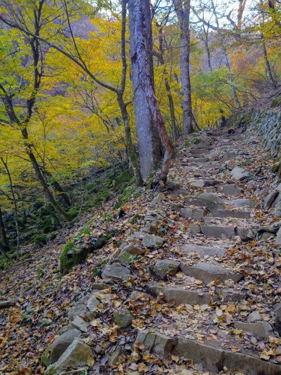

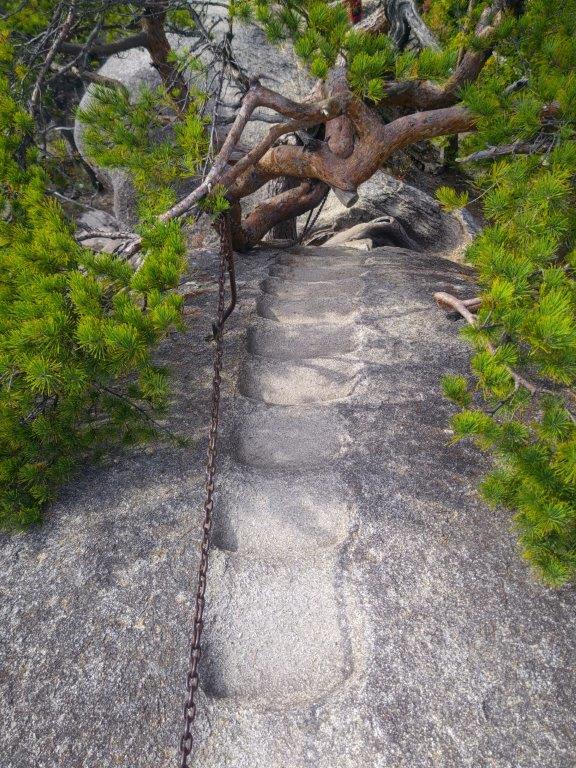
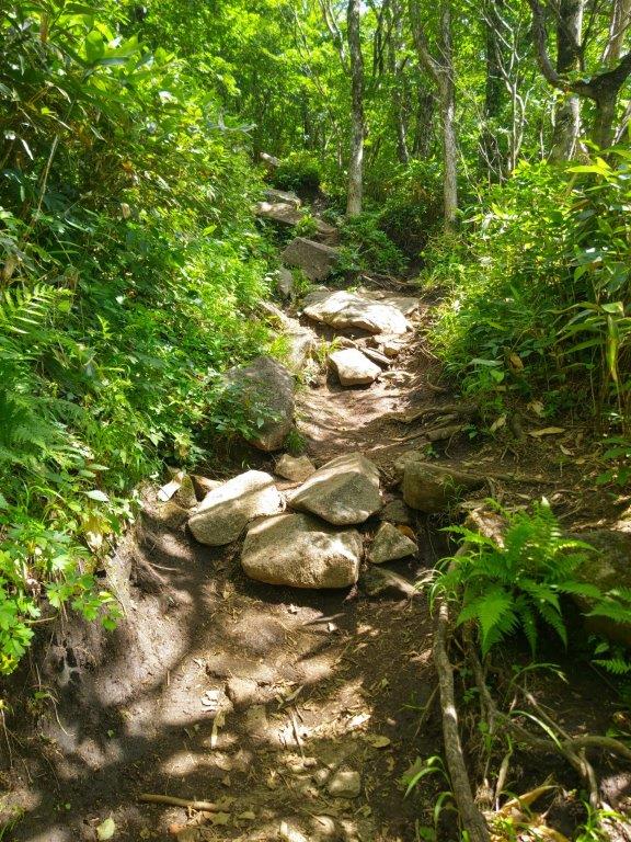
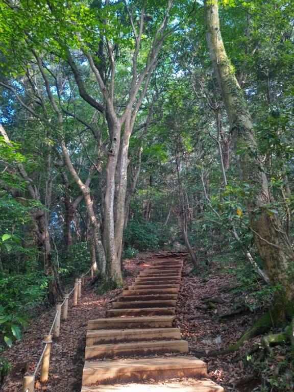
Stone Steps (left) and Log Steps (right) on the Beech Path
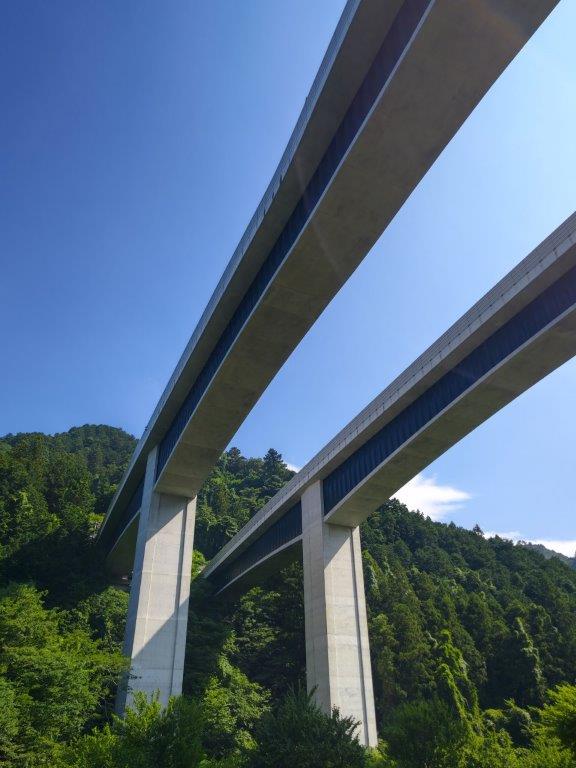
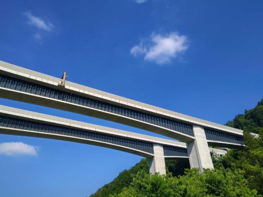
It was a sunny day as I rode the Green Car through the suburbs of Tokyo. After arriving at Musashi-Itsukaichi station just before 11am, I made my way to the head of the line for the Tomin no mori (東民の森) express bus. Thanks to the bus being only half-full, most hikers having taken the early morning one, I had views on the left and right of the Autumn colours along the Akigawa river, as the bus crossed several bridges on the way up the narrow valley.

Ascending (left) and Level Sections (right) along the Beech Path

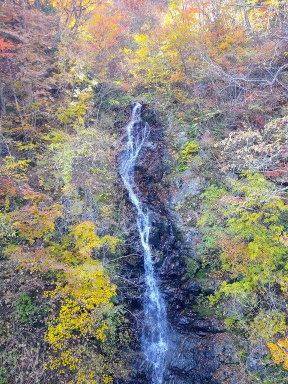
Takimi Bridge (left) Mito Otaki Waterfall (right)
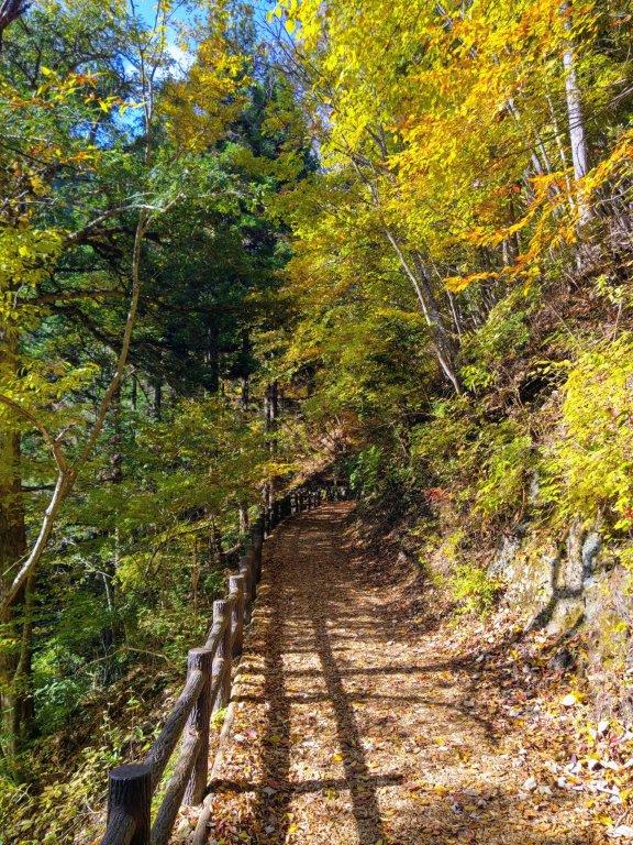
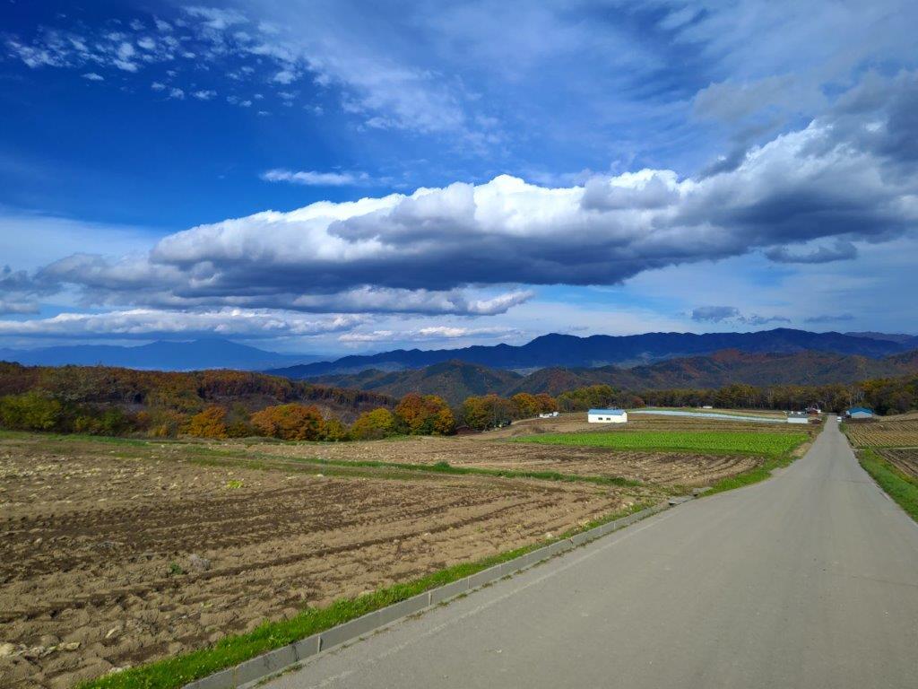
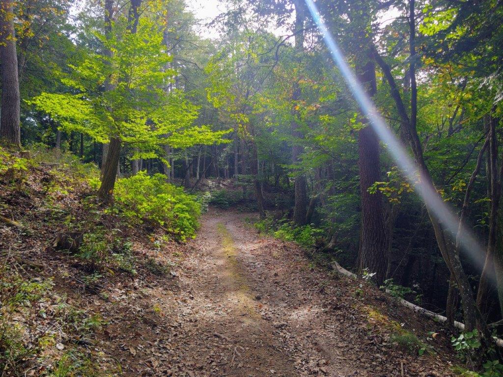
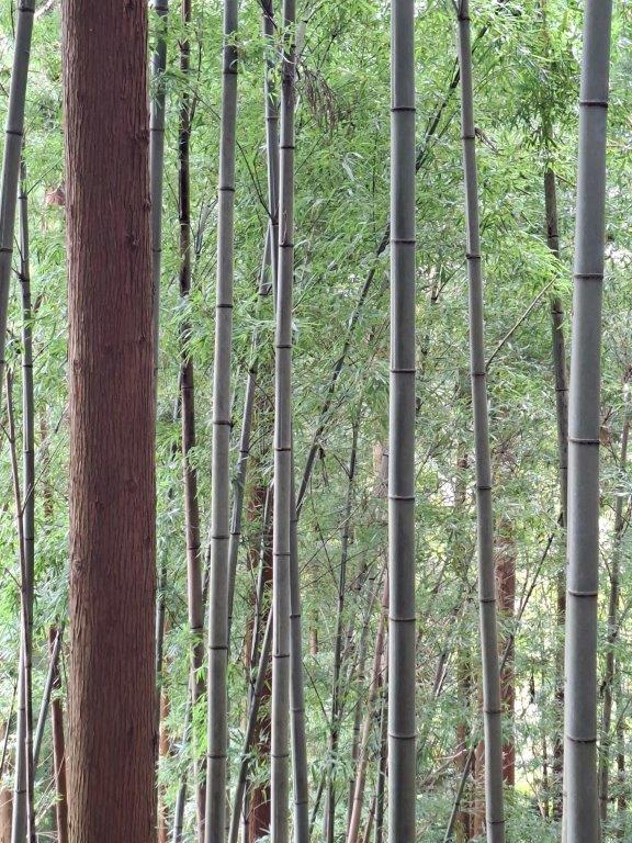
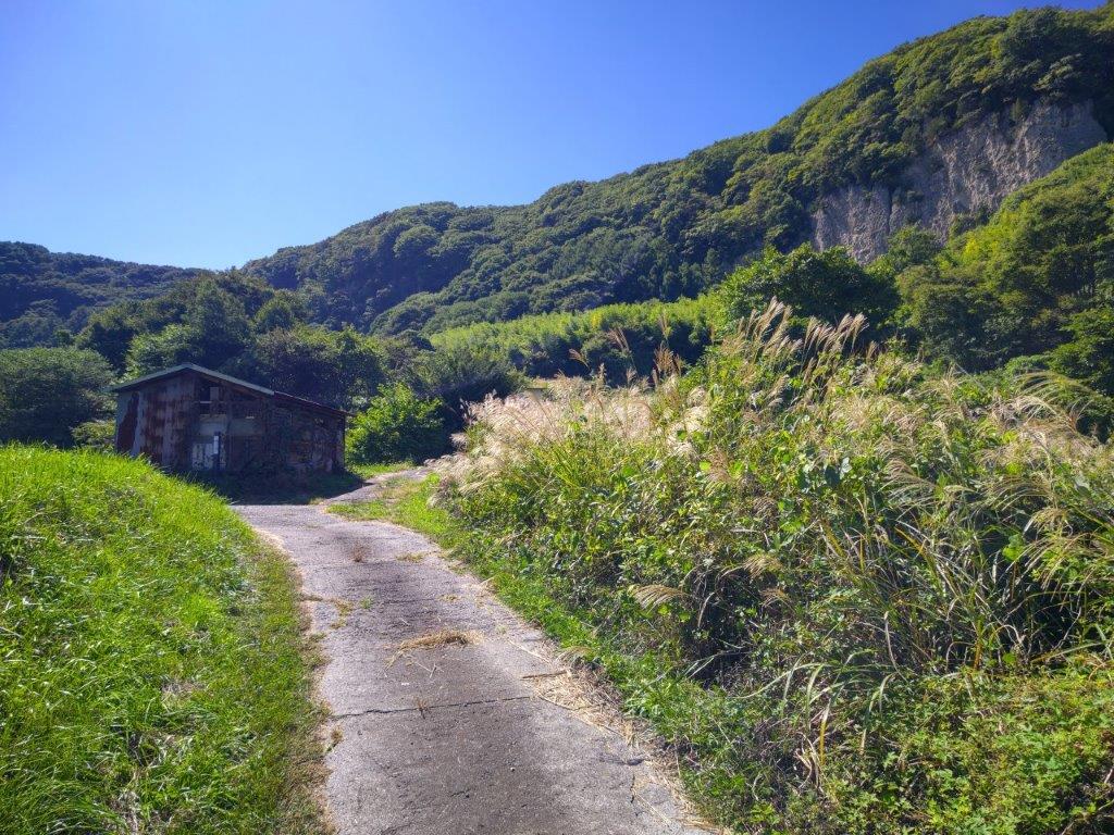
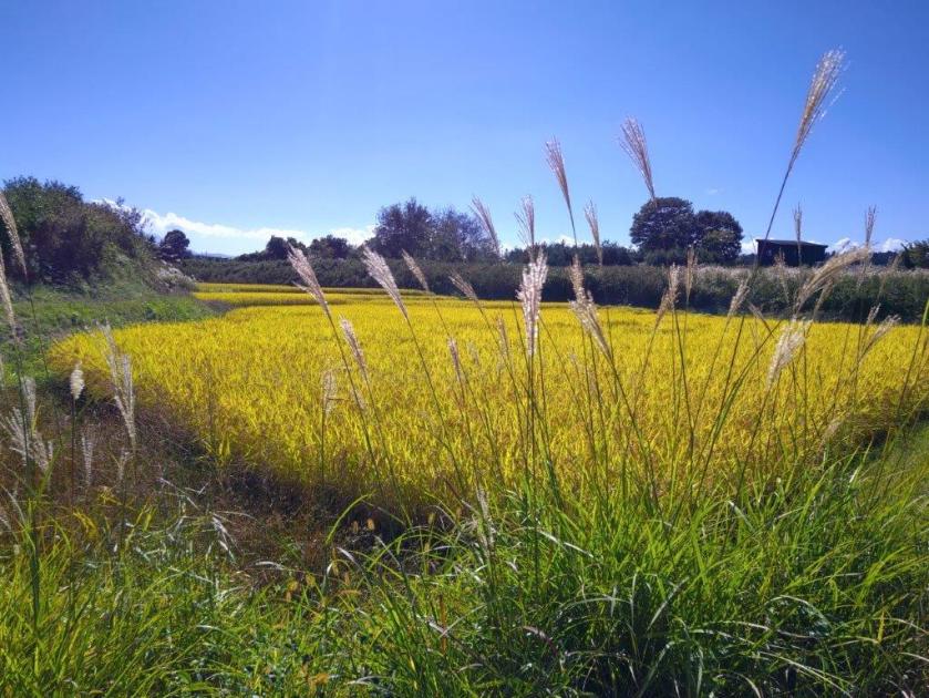
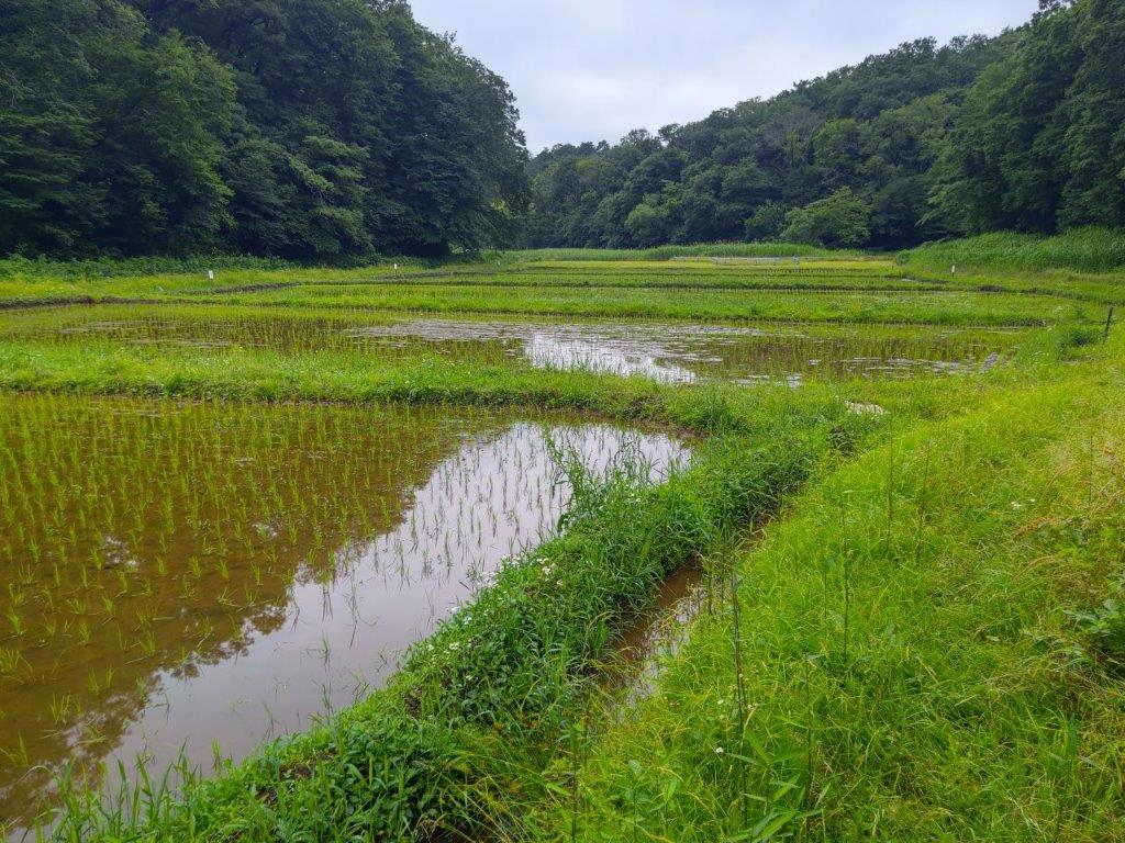
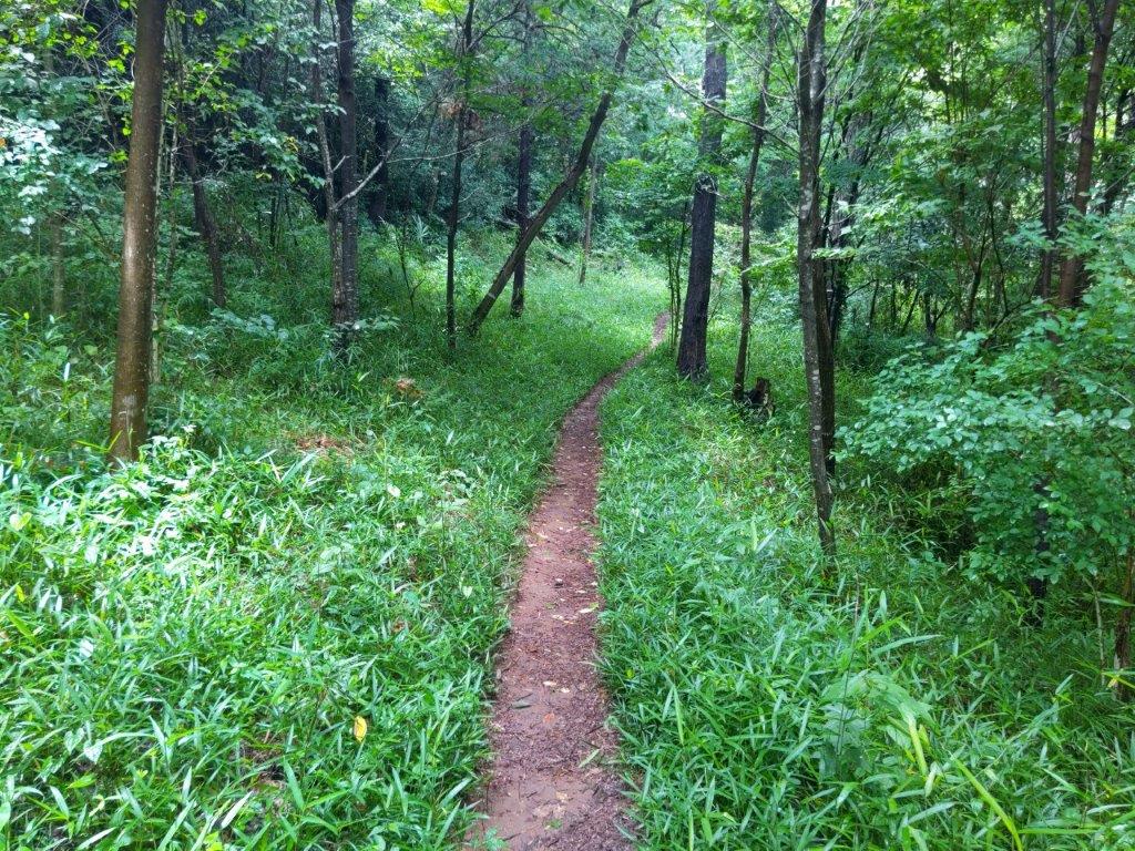
I was lucky to spot some monkeys along the road, on the opposite side of the ridge from Hossawa falls where I had spotted them on my 2020 hike. There was little traffic in the middle of the day, allowing the bus to arrive ten minutes before schedule, at 1235. I set off almost immediately to get the most out of the sunny weather, passing many people wrapping up their hike. Within a few minutes I was walking along the “Big Waterfall” Path (大滝の路 ootaki-no-michi), also called the Forest Therapy Road (森林セラピーロード shinrin-serapi-rodo), a wide, level trail through mixed forest. Very soon, I reached a viewpoint on the left side.

Start of the Forest Therapy Road

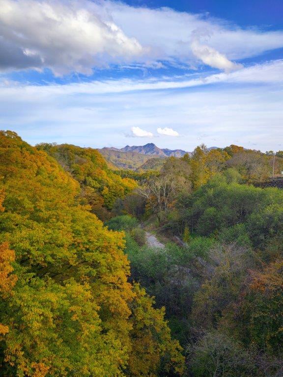
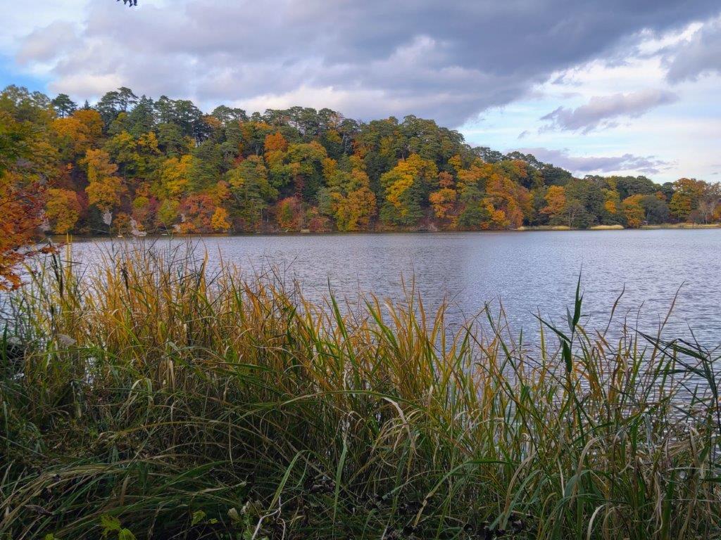
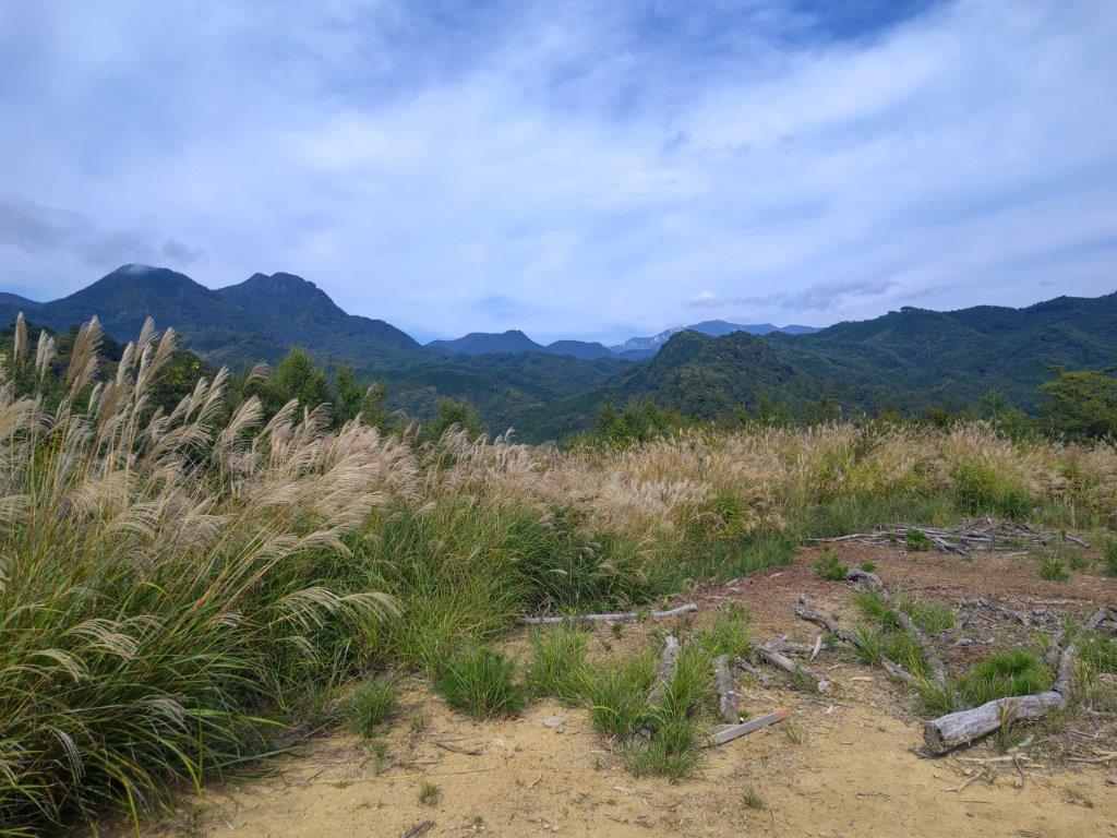
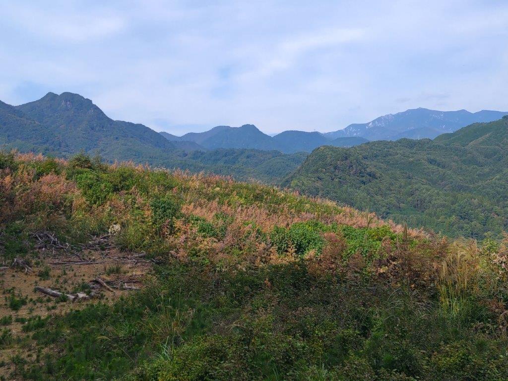
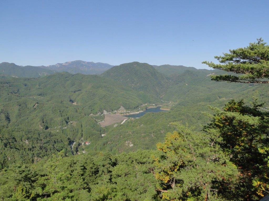
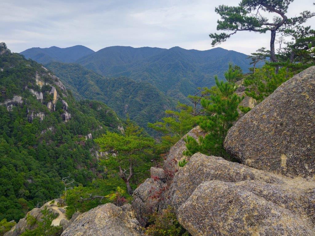
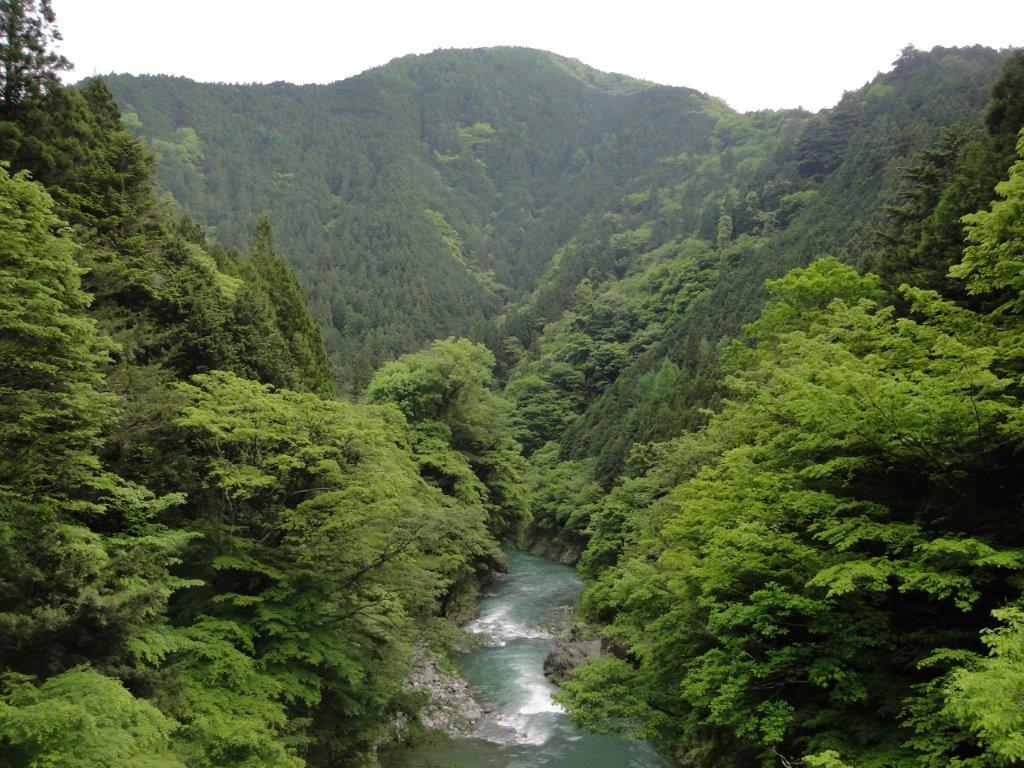
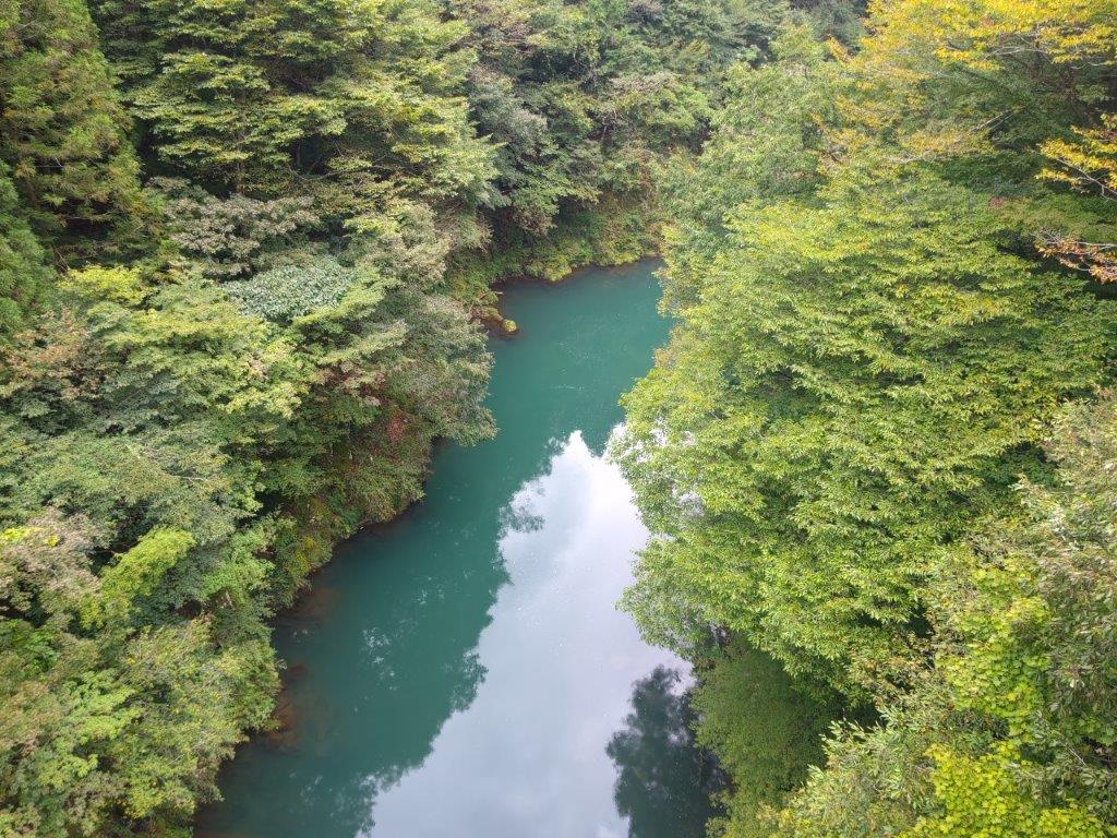
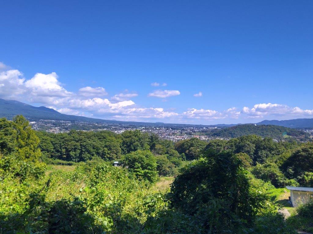
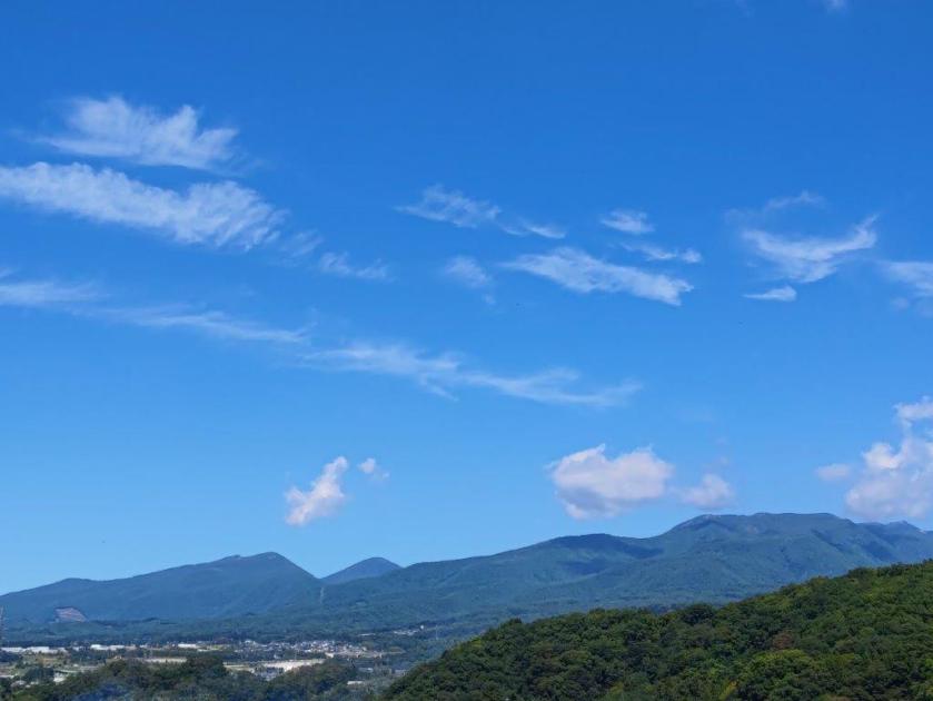
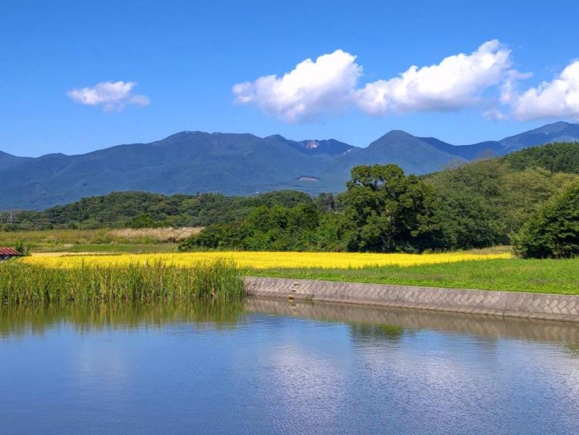
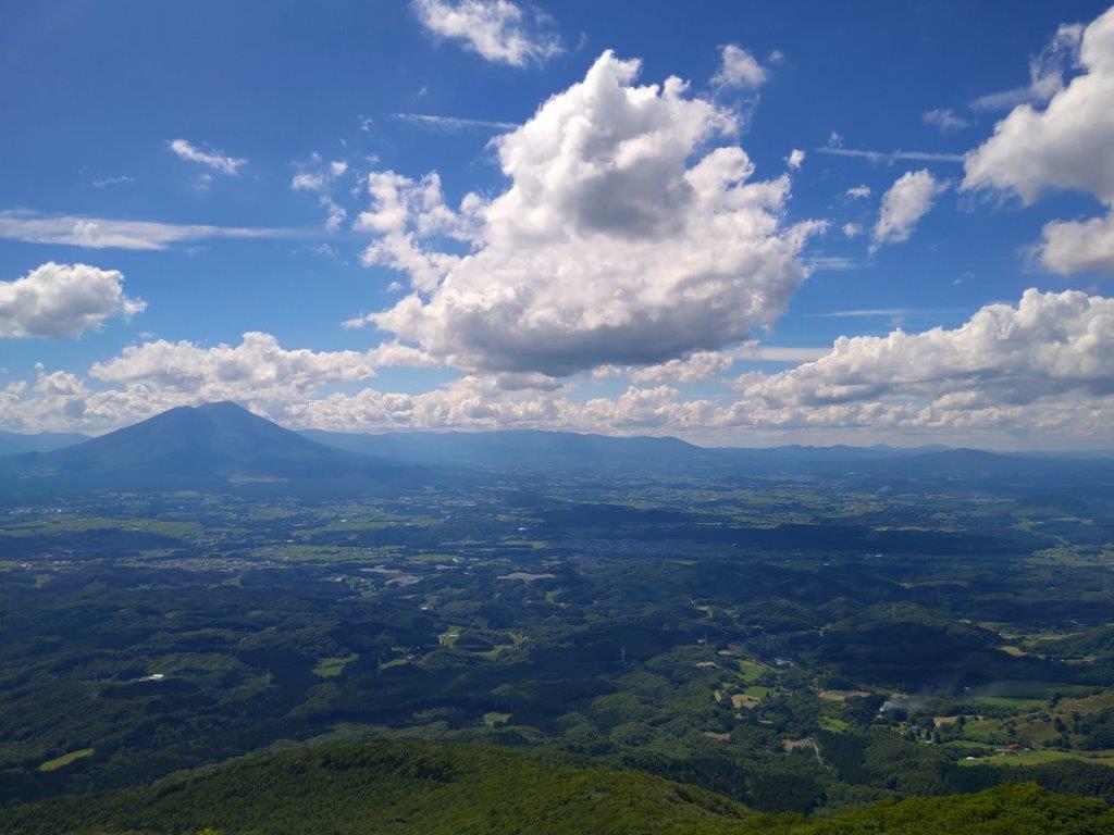
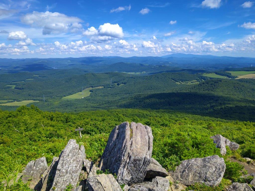
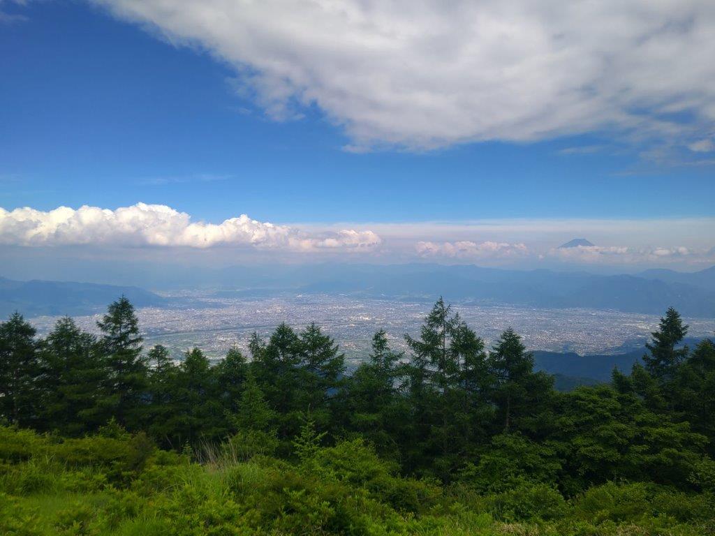
Viewpoint of the Akigawa Valley from the Otaki Path
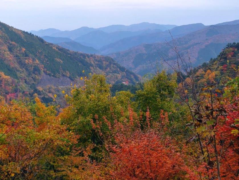
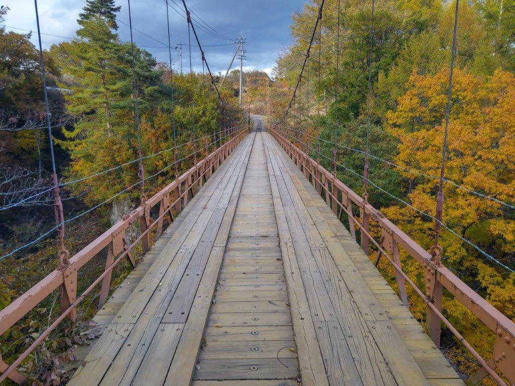
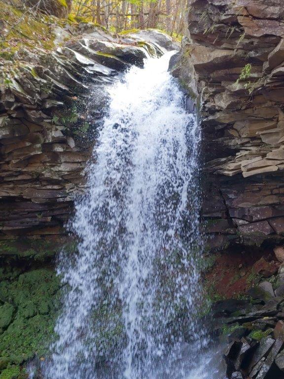
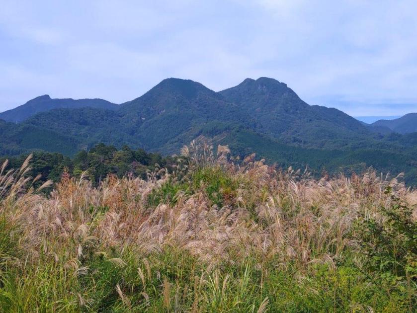
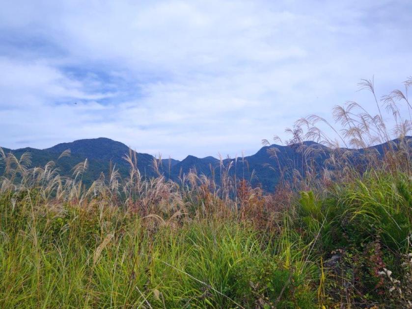
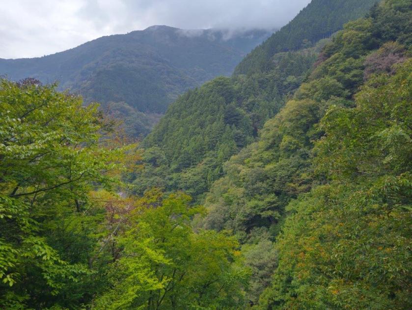
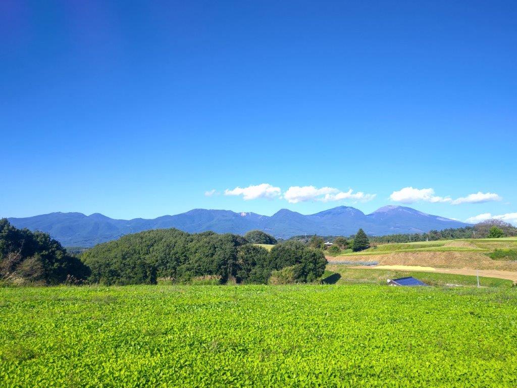
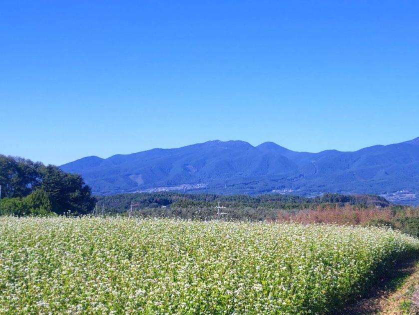
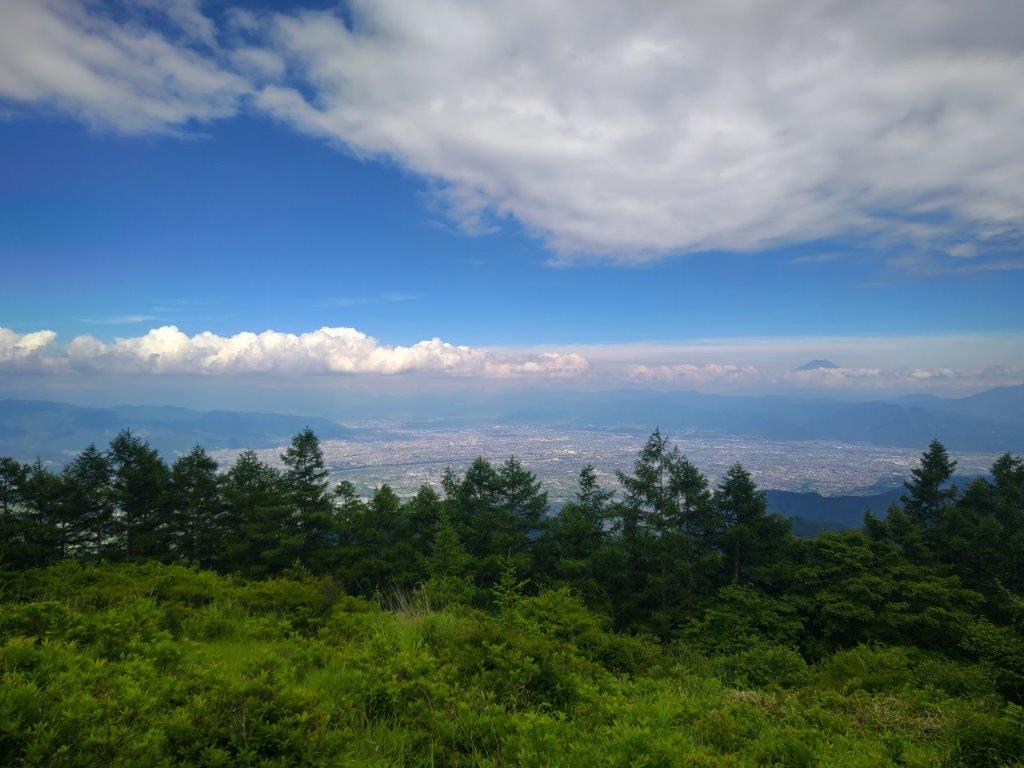
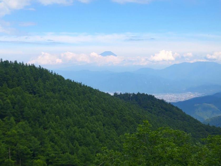
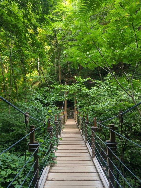
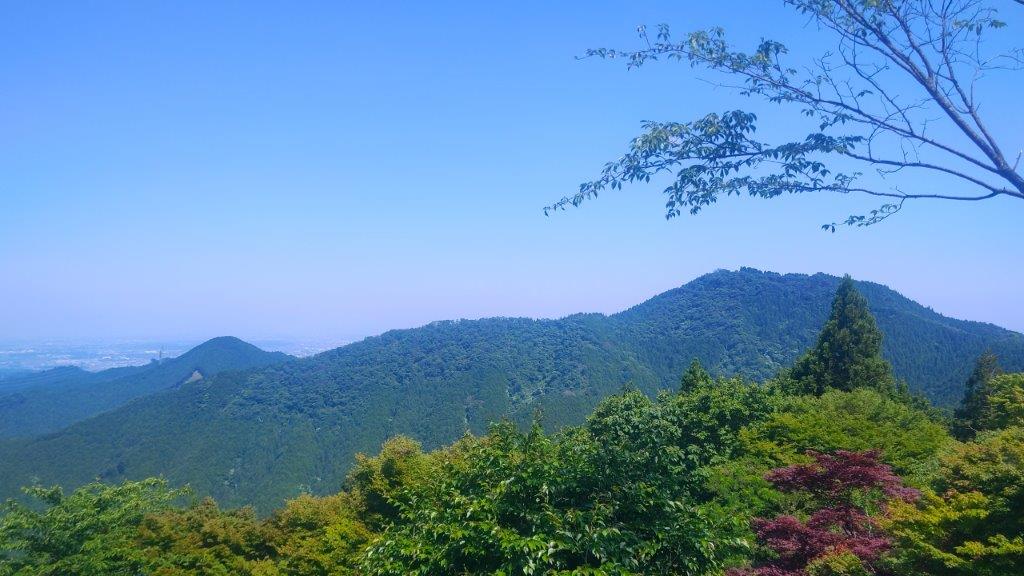
I was glad to get a view of the Autumn colours under the blue sky, high thin cirrus clouds announcing an imminent weather change. Directly ahead was the long ridge leading to Sengenrei opposite was the ridge for Mt Maruyama; in the far distance, I could make out the 3 mountains of Tokura (戸倉三山). A sign indicated that the elevation was 1078m, meaning I had about 500 meters to climb. I set off again and at 1pm, arrived at Takimi bridge (滝見橋), a wooden suspended bridge, opposite Mito-otaki (三頭大滝), a 30-meter high waterfall.

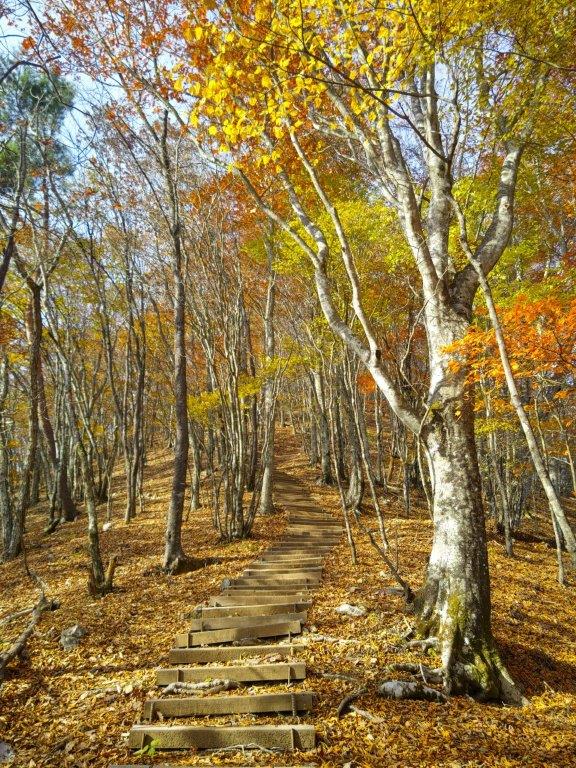
Beech Path below the Summit

View of Mt Odake (left) from the Observation Deck
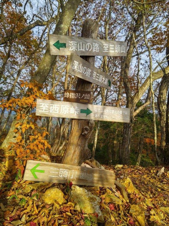
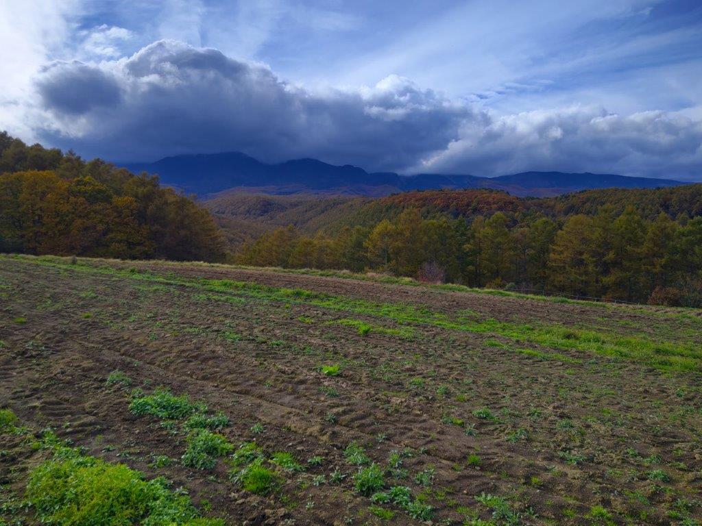
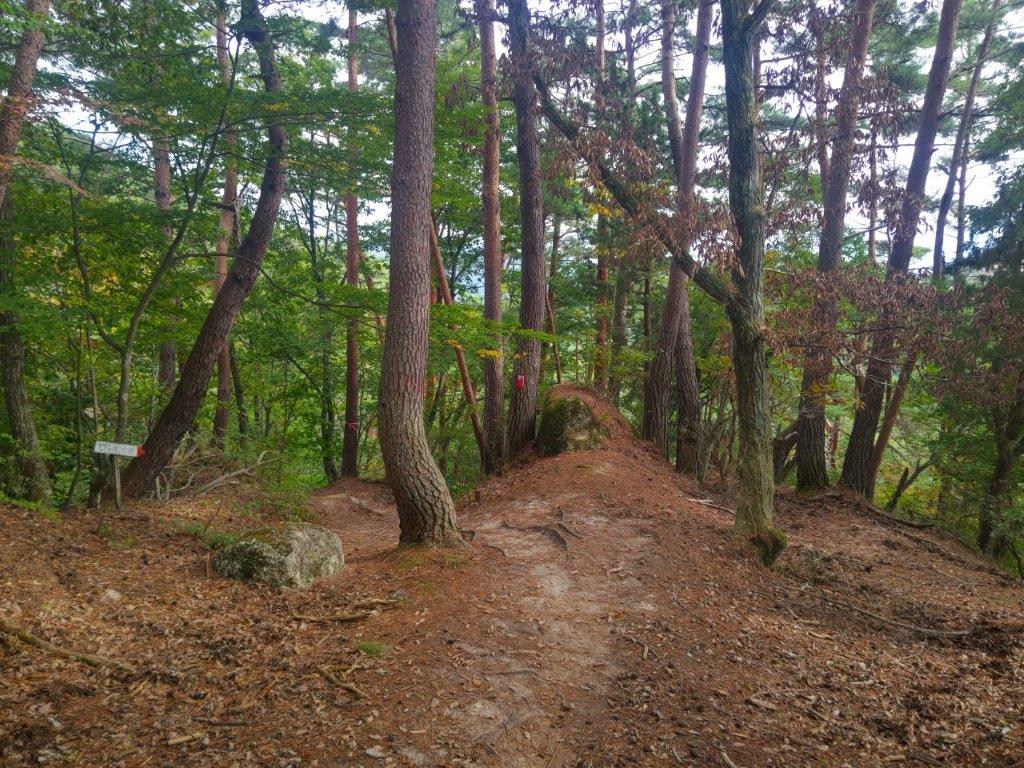
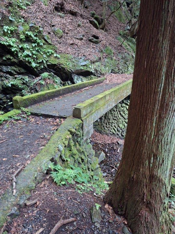
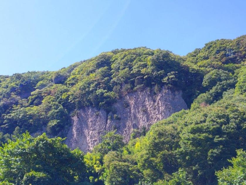
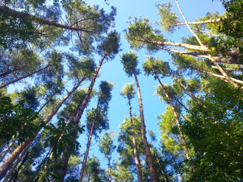
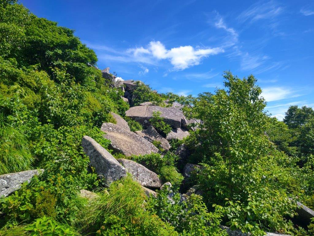
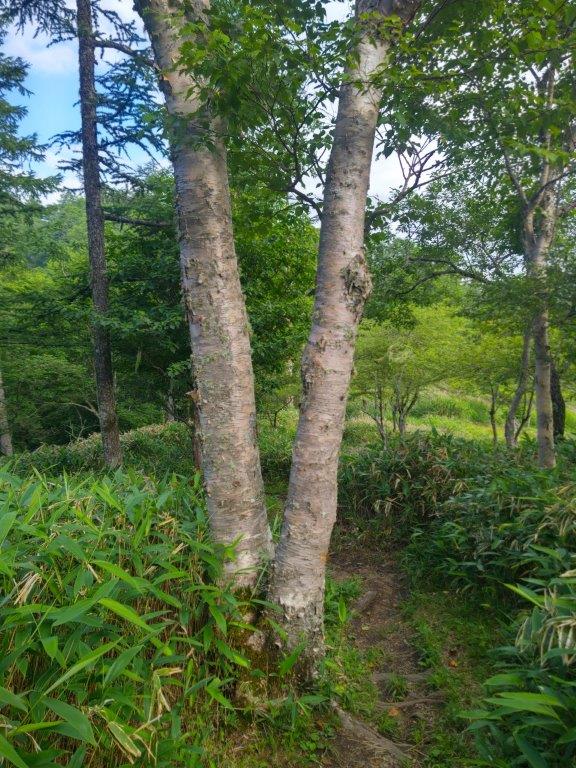
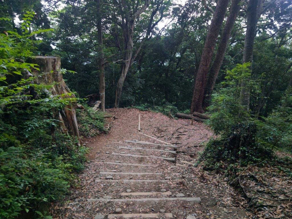
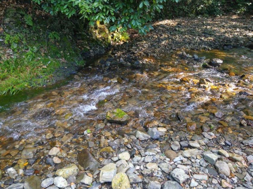
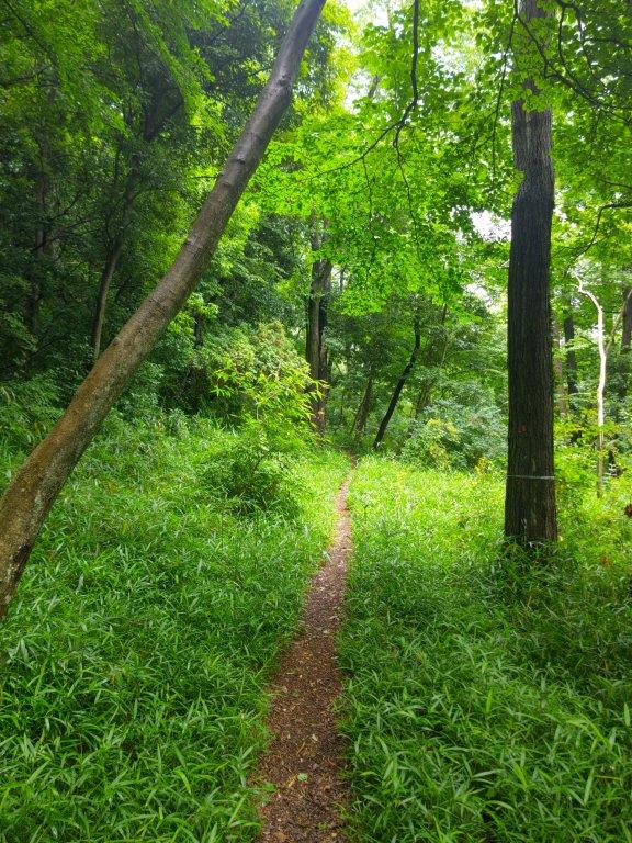
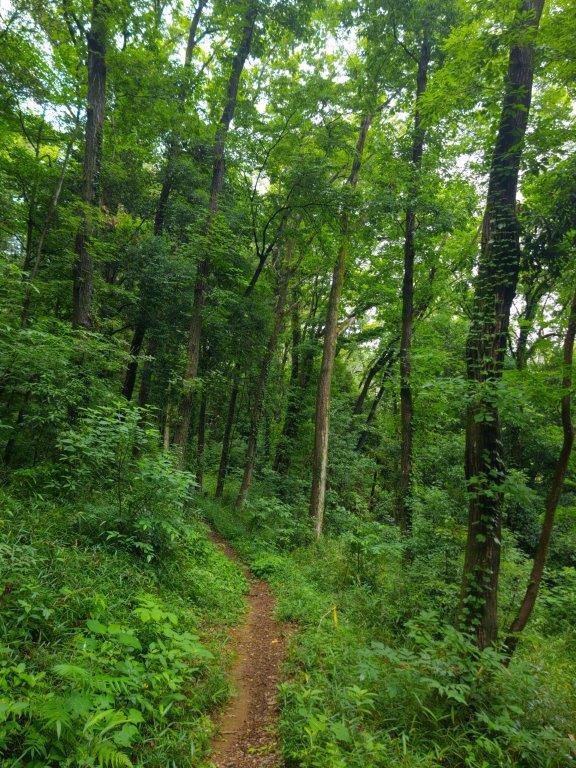
The stream of falling water surrounded by vivid Autumn foliage was more impressive than I had remembered. I spent a few minutes enjoying the view before retracing my steps back to the trail, the other end of the bridge leading nowhere. I soon reached a junction where I took the right branch, the start of the Beech Path (プナの路 buna-no-michi); the left branch was the end of the Miyama Path where I hoped to arrive later on. The rocky path, possibly an ancient road, climbed steadily, crossing a stream several times over man-made stone bridges.

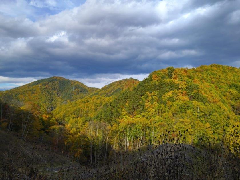
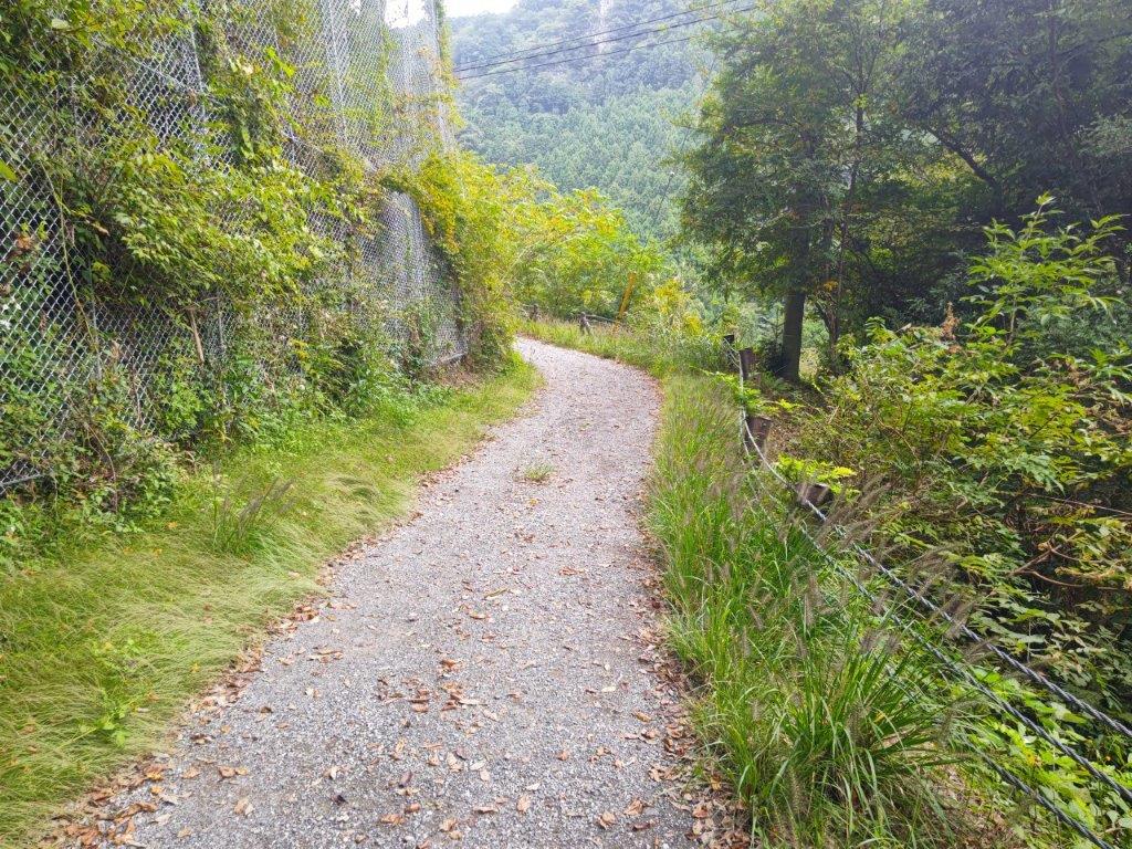
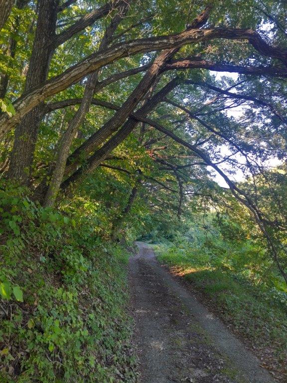
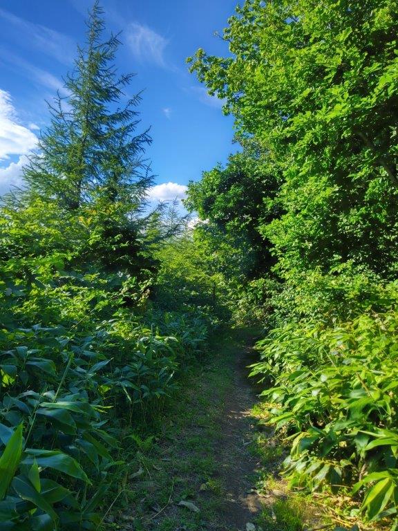
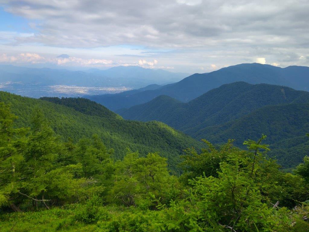
Going Down via the Miyama Path

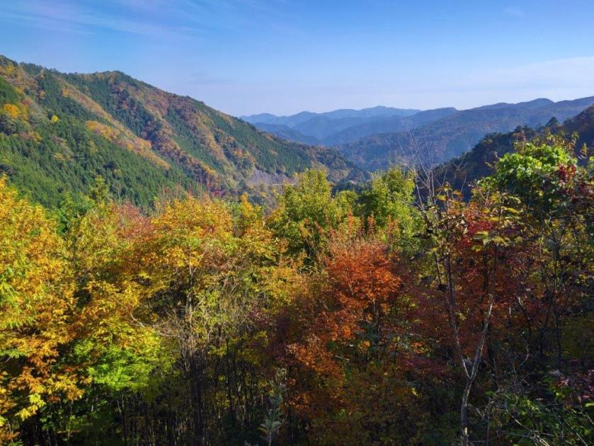
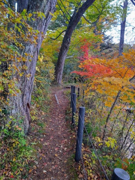
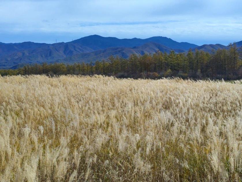
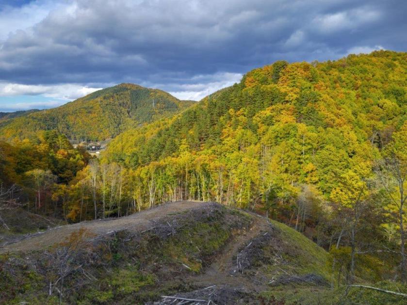
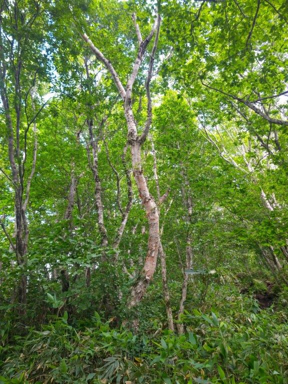
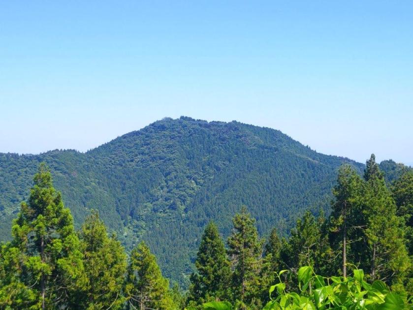
Autumn Colours on the Miyama Path
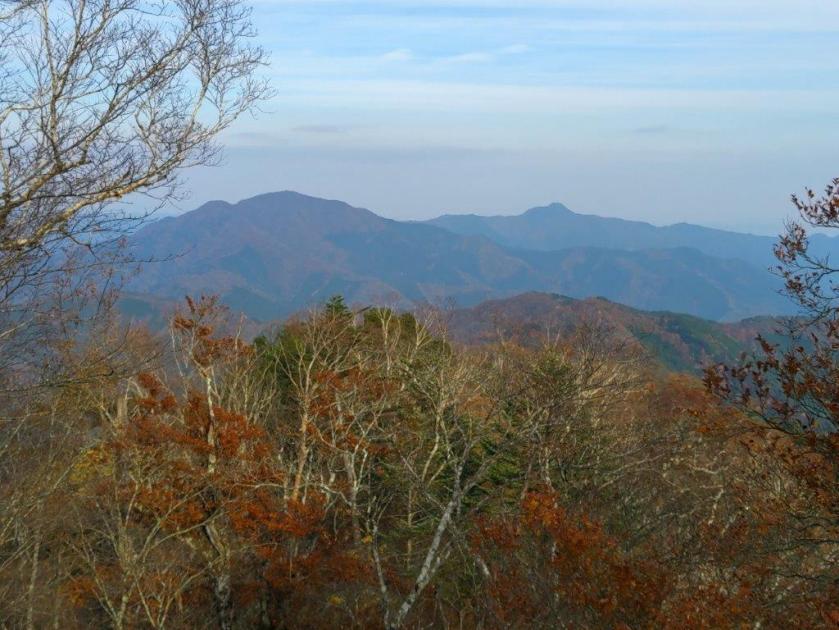
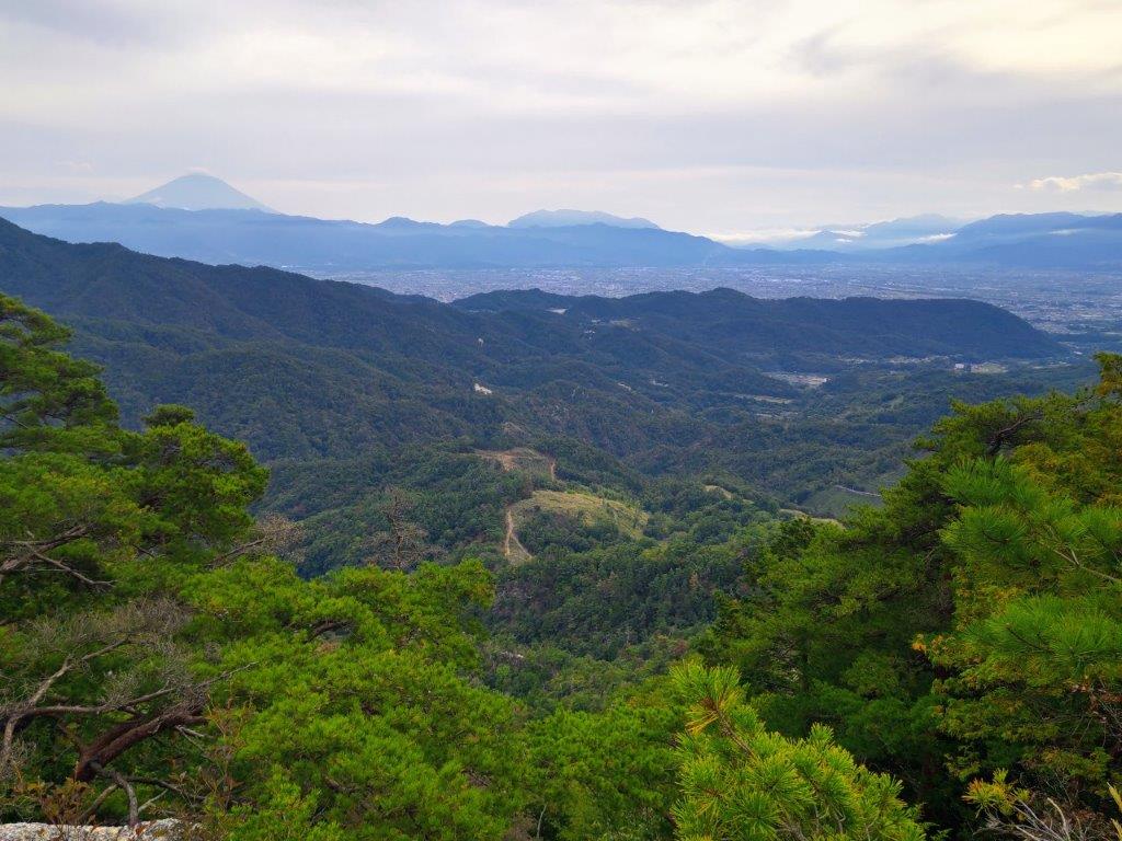
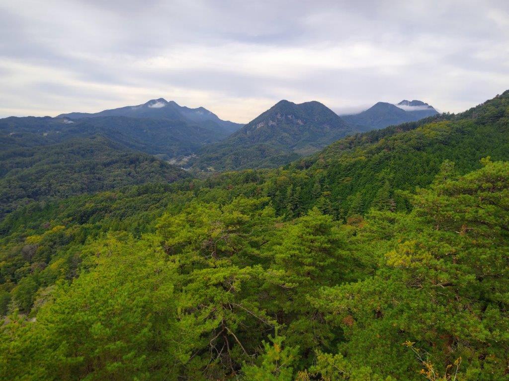
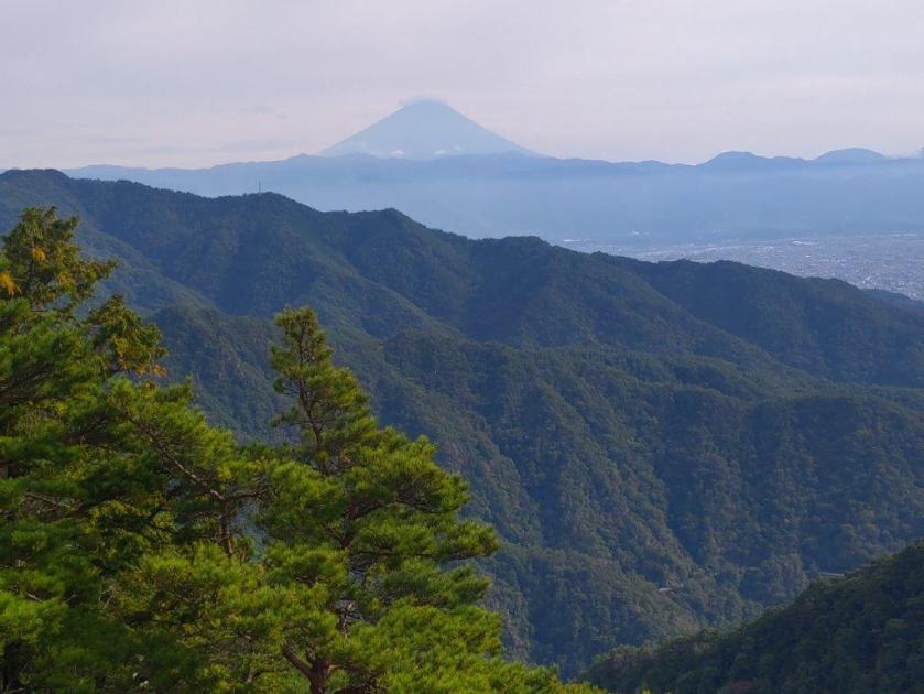
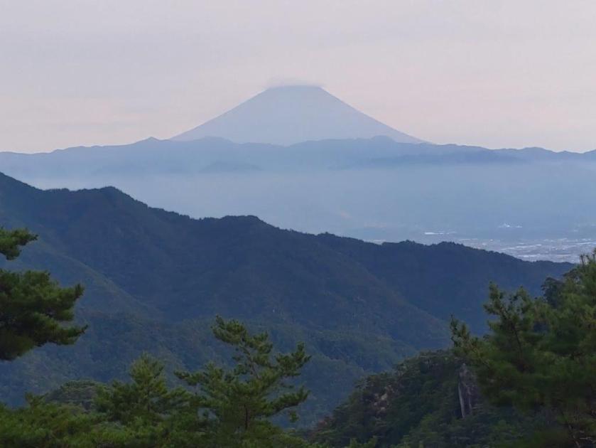
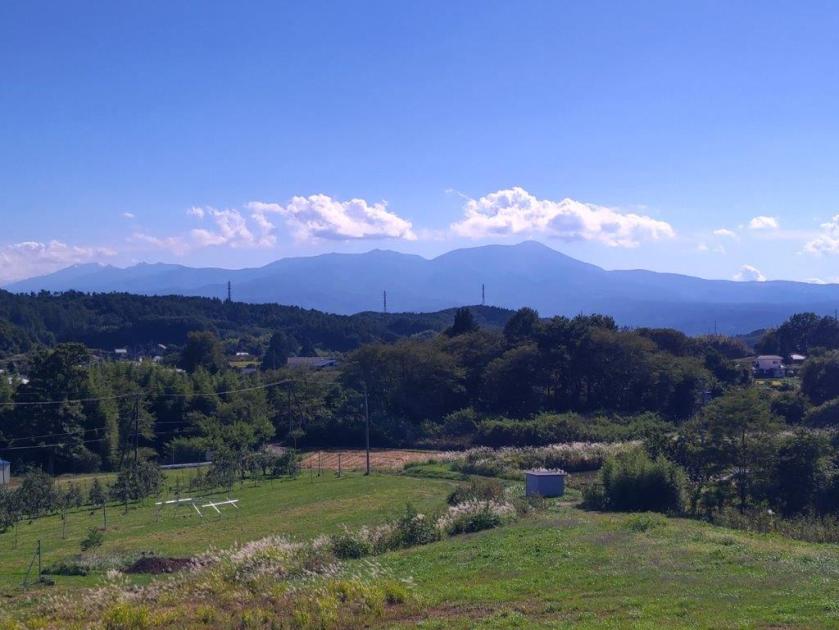
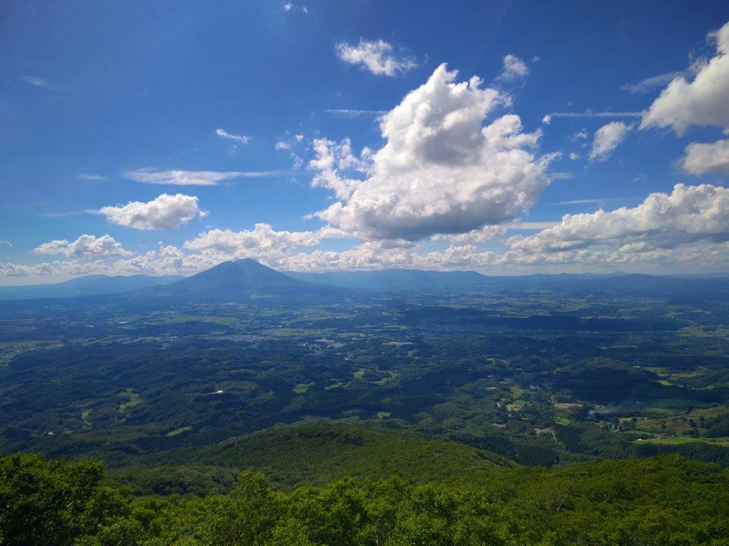
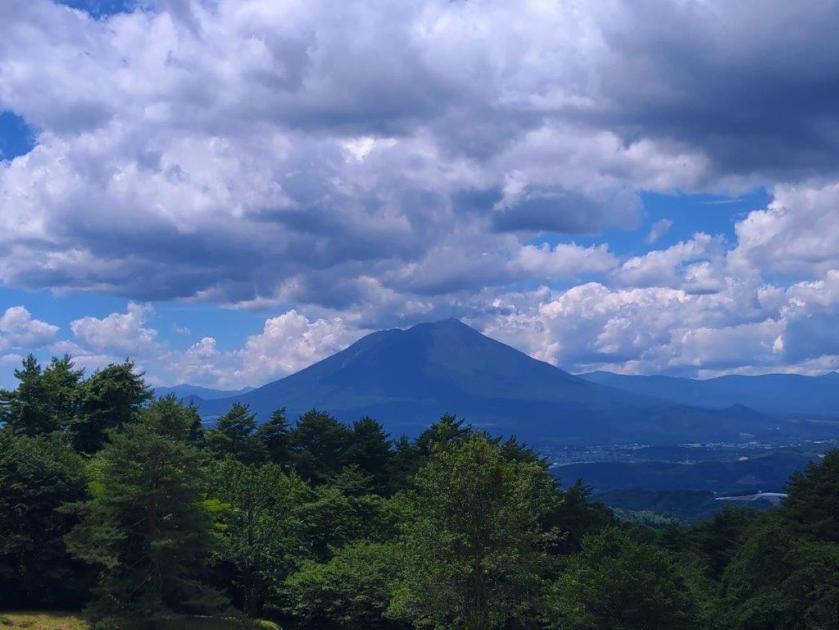
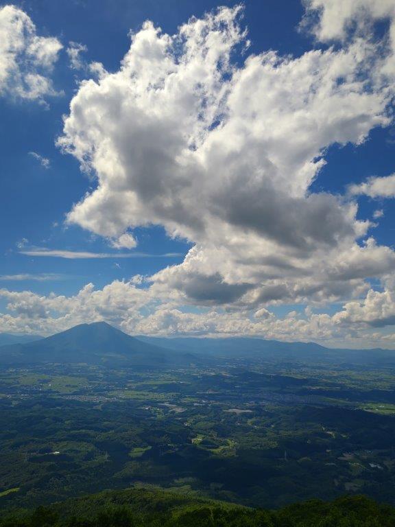
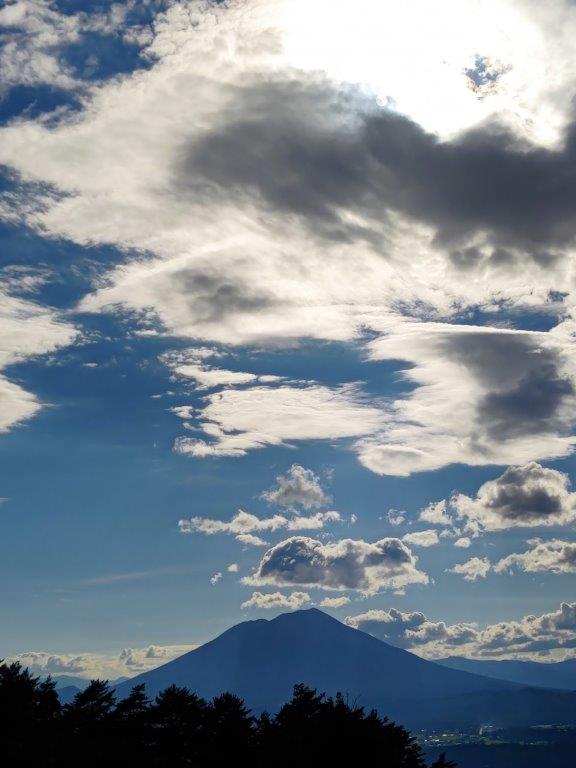
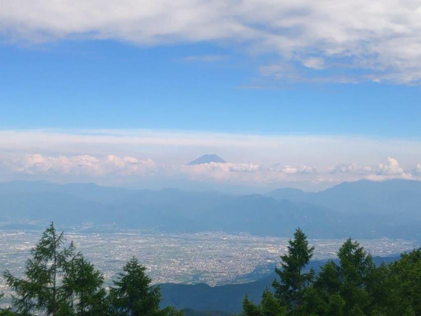
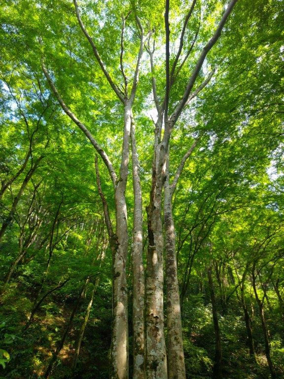
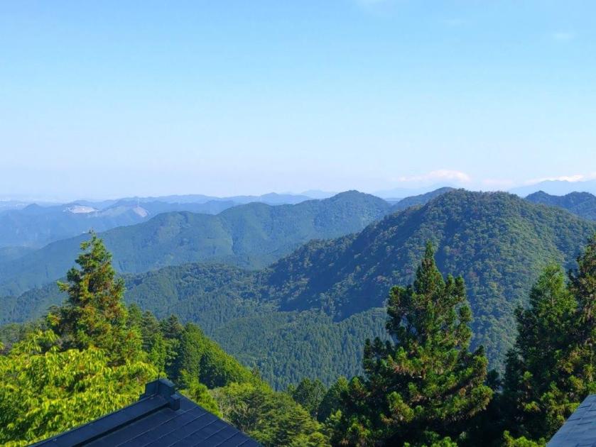
I was glad to be walking alongside rushing water since it had been nearly 6 months since my last river hike. I kept up the fast pace, and after reaching a couple of benches at Mushikari Pass (ムシカリ峠), turned right up a series of log steps for the final part of the climb. The beeches here were stunning, with their white trunks and orange leaves. I soon passed a sign for 1500 meters, my fast climbing speed protecting me against the near freezing temperatures. Just after 2pm, I arrived at the Mt Mito West Peak (三頭山西峰 1524m). Mt Mito translates as “three tops” since it is formed of 3 separate peaks. Looking south through a gap in the trees, I could see the top crater of Mt Fuji poking above the clouds; looking north, I could see the prominent peak of Mt Takanosu directly ahead; further away and slightly to the left was Mt Kumotori.

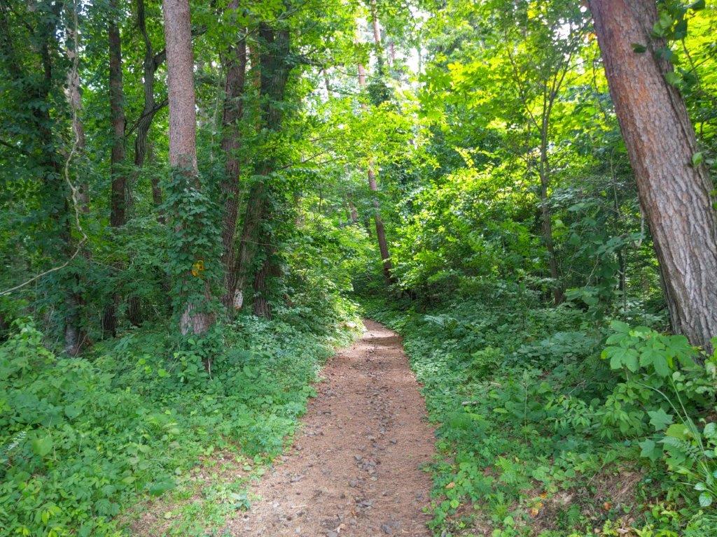
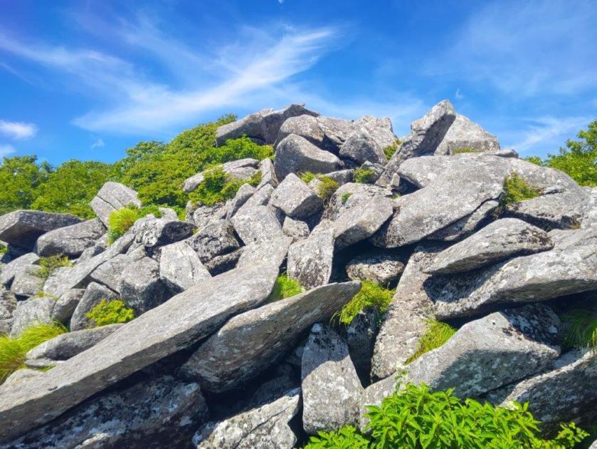
Few People on this Adventurous Trail

Trail before Mito Otaki Waterfall
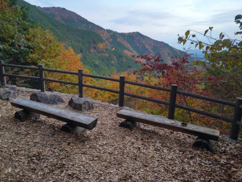
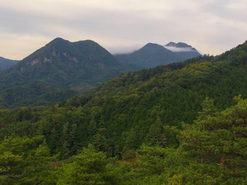
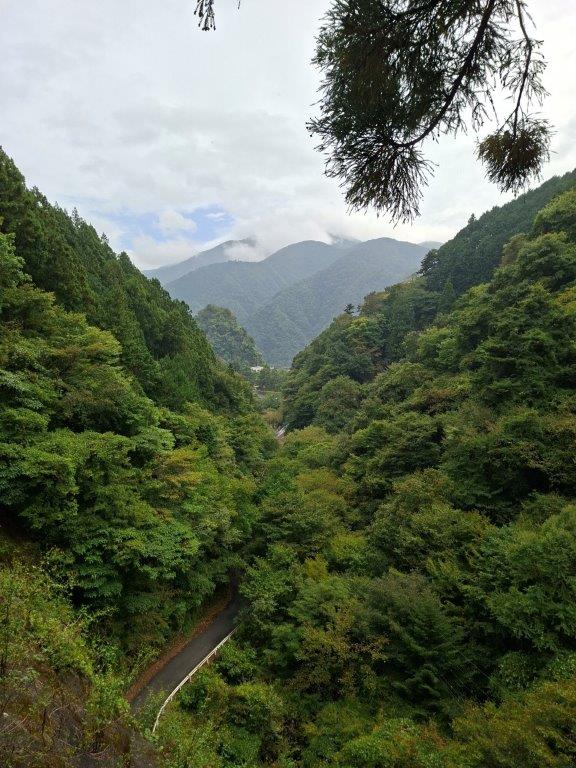
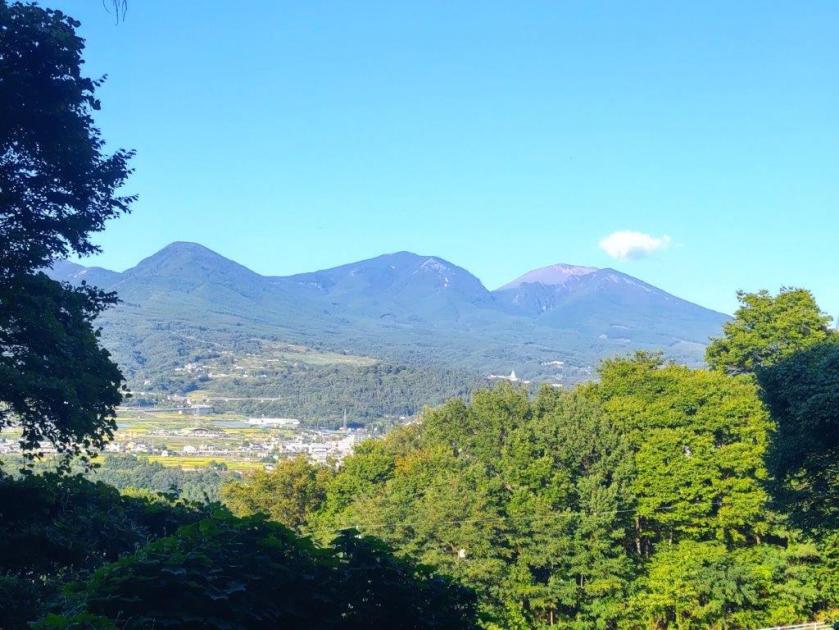
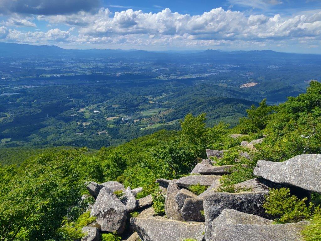
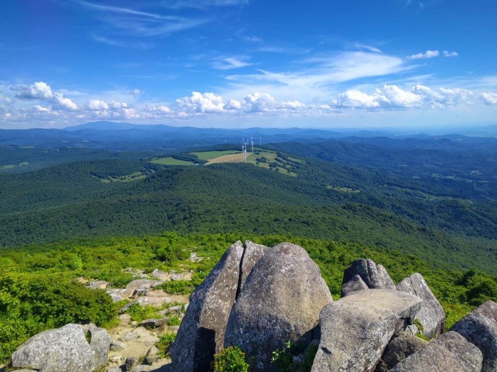
I suddenly felt very cold, the forecasted clouds having filled most of the sky; after bundling up, I headed down a trail on the west side but soon found myself climbing again. In quick succession, I passed the central and highest peak of Mt Mito (三頭山 みとうさん mitou-san) and the Mt Mito east peak (三頭山東峰 1527m), both completely in the trees; beyond was an Observation Point, a wooden deck on the north side of the mountain. Here I dropped my backpack for a late lunch with a view. I could see Mt Gozen and Mt Odake, the Autumn leaves in the foreground slightly muted by the overcast sky. At 2h30, feeling chilled, I shouldered my pack, retraced my steps to Mushikari Pass, and continued straight, following the ridgeline southwards, past the Mt Mito Emergency Hut (三頭山避難小屋). At 3pm, I reached the top of Mt Osawa (大沢山 おおさわやま oosawa-yama), Mt Fuji now hidden in the clouds but Mt Mishotai and Mt Kuki both clearly visible.

Takimi Bridge and Otaki Falls
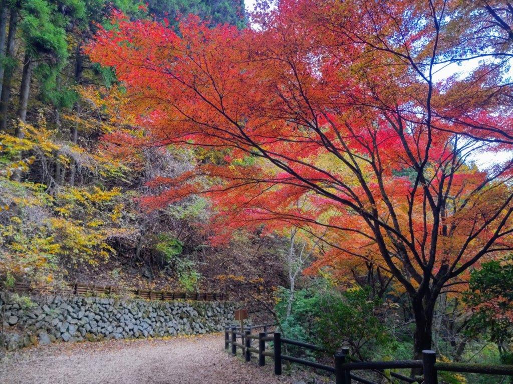
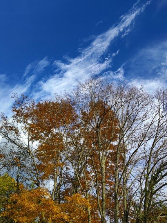
Red Japanese Maple on the Forest Therapy Road
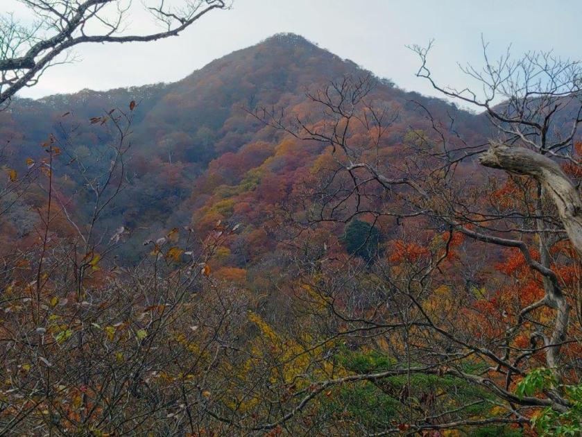
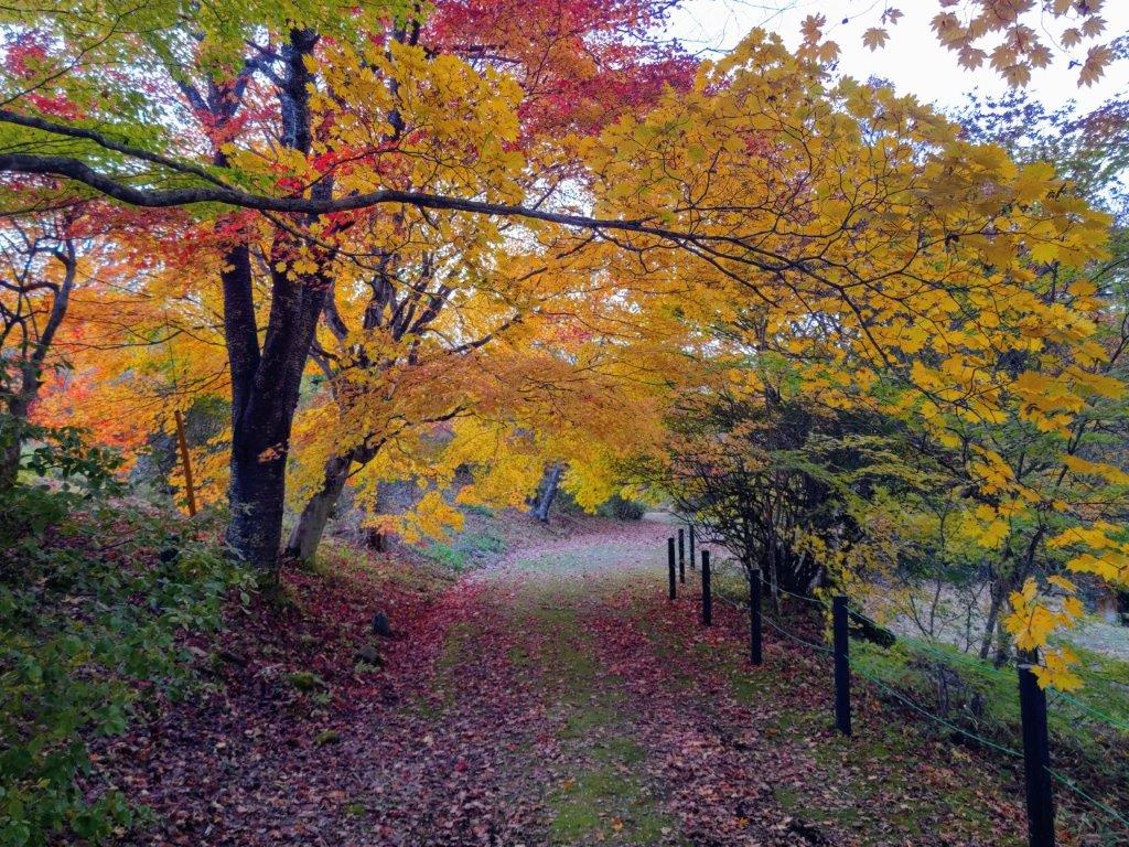
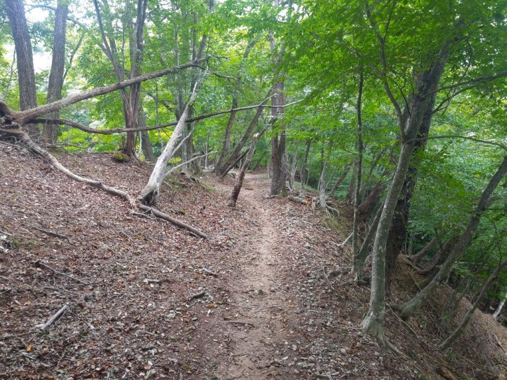
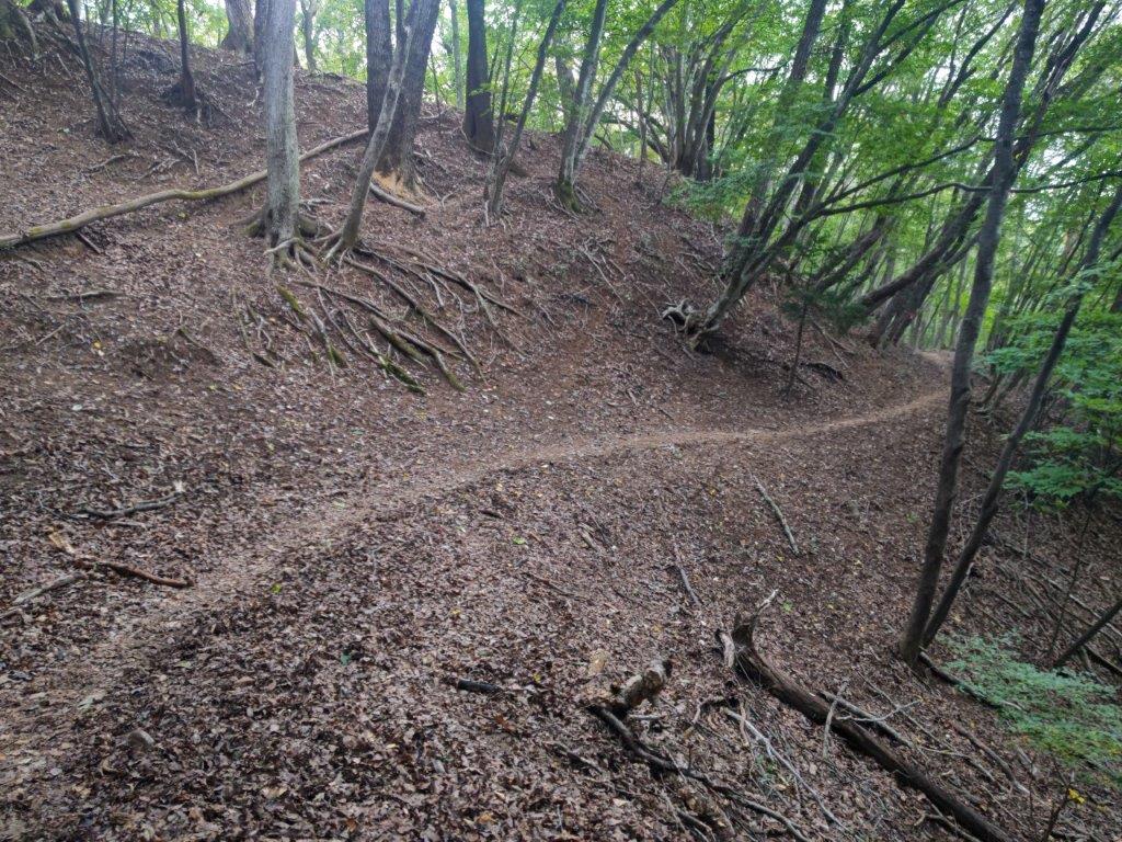
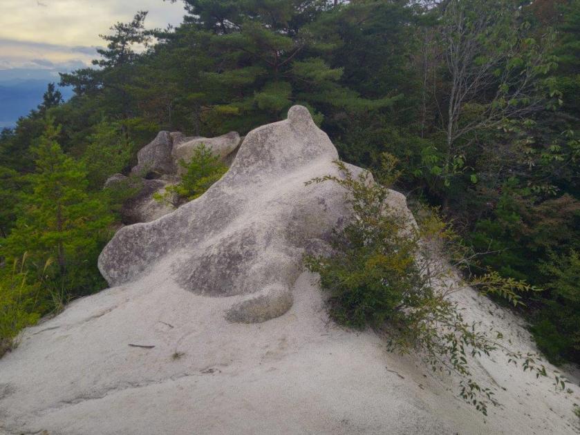
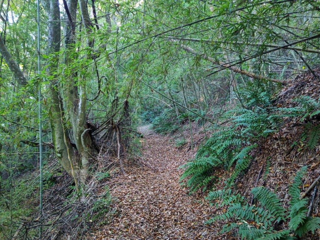
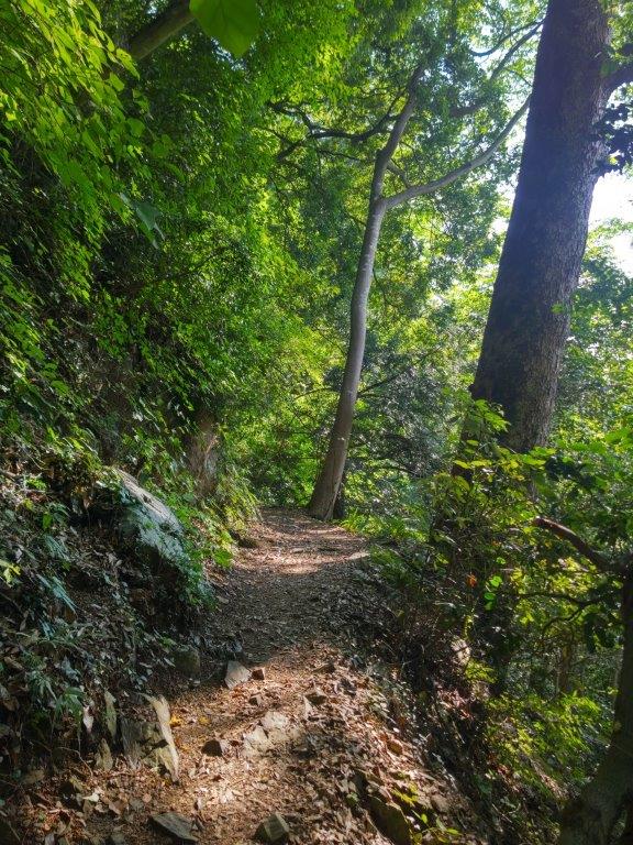
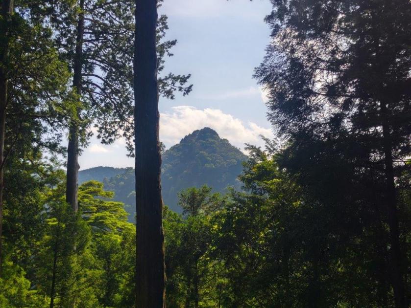
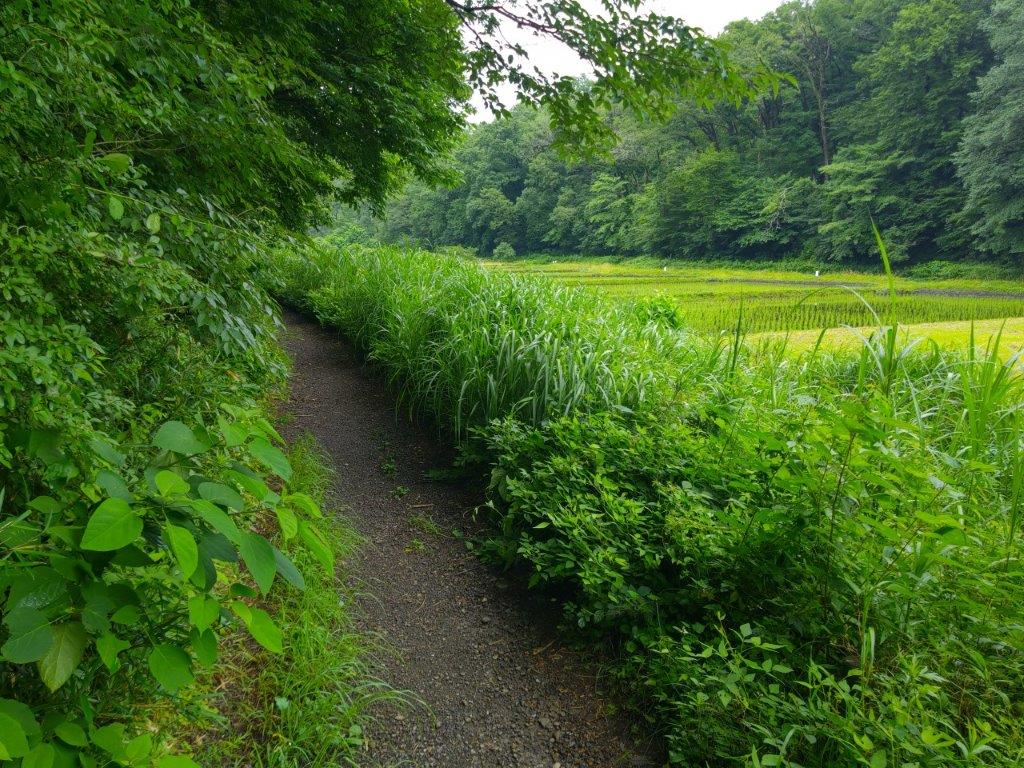
I headed downhill through a deep, quiet forest, now following the Mountain path (深山の路 miyama-no-ro), the only person to venture along it at this late hour. After some level ridge walking, I turned left at a junction, leaving the route of my 2010 hike. From this point it was mostly downhill, through mixed forest in resplendent Autumn colours, interspersed with solitary pines. Around 3h30, I passed a rocky clearing with a view of the triangular summit of Mt Mito on the north side. About 30 minutes later, the path crossed a stream, and after following it for a short while, merged with the Otaki Path. Since I was ahead of schedule, I had time to check out the waterfall again and also drop by the Shinrinkan (森林官 Forest Building) before hopping on the bus for Musashi-Istukaichi station. Light traffic allowed the bus to arrive early again, giving me ample time to buy some local sake before boarding the train for the train ride back to Tokyo.
Watch a Video of the Hike

See More Pictures of the Hike


![Mt Takao (599m), Hachioji City, Tokyo Prefecture, Saturday, July 5, 2025 [Jataki to Biwa Falls]](https://hikingtokyo.com/wp-content/uploads/2025/08/dsc_1733.jpg?w=1024)


You must be logged in to post a comment.