
I was looking for a short and easy hike to get back in shape after my winter break. I had already been up Mt Jinba three times, the last time being two years ago, but I still hadn’t explored every trail this popular mountain had to offer. This time, I decided to start close to the lowest trail entrance and head up the long and gentle Ichi-no-O ridge route, the main trail up the mountain. After admiring the panoramic view from the summit, including Mt Fuji, I’d descend via the shorter and steeper Tochitani ridge route, near the end of which I’d be able to get a view of the Tanzawa and Doshi Mountains.
Hiking in the Takao-Jinba Natural Park 都立高尾陣場自然公園
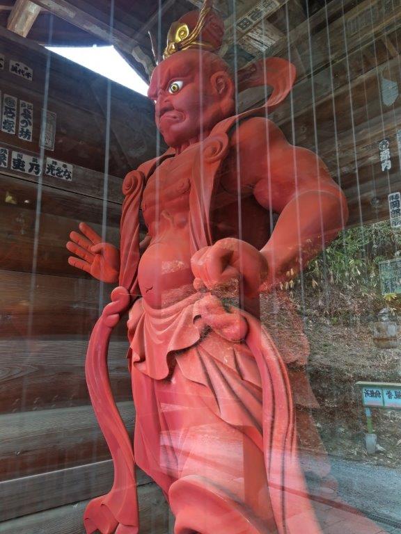
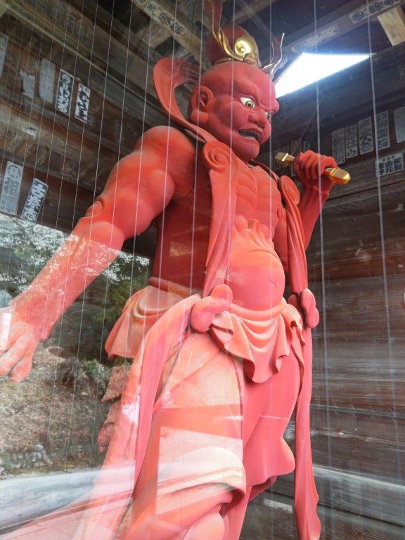
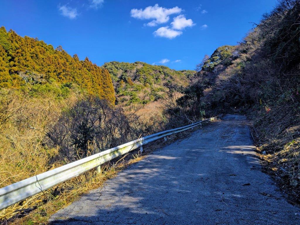
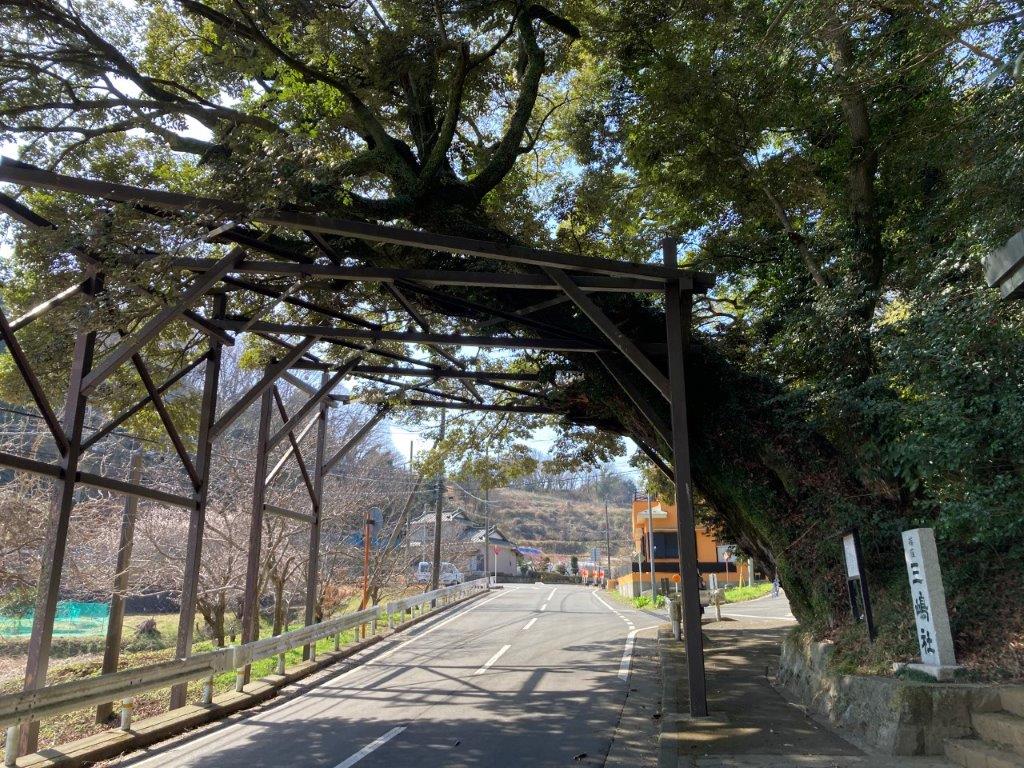
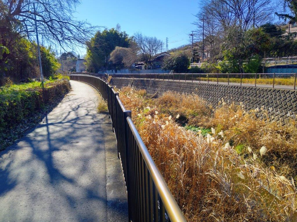
To get to the start of the hike, I’d ride the Chuo line to Fujino station. There, I’d board a bus for the short ride to the next stop from the Jinba mountain trail entrance, from where I’d follow an alternate trail to the ridgeline. This would allow me to skip a steep road climb from the main entrance. After completing the descent, I could drop by Jinya Onsen, my first visit to this hot spring. Afterwards, I’d walk 20 minutes along a road to get to a bus stop. The weather was supposed to be sunny all day with temperatures warm for the season and I was looking forward to the first Spring hike of the year.
Find Japan Hiking Maps on Japanwilds and subscribe to our newsletter
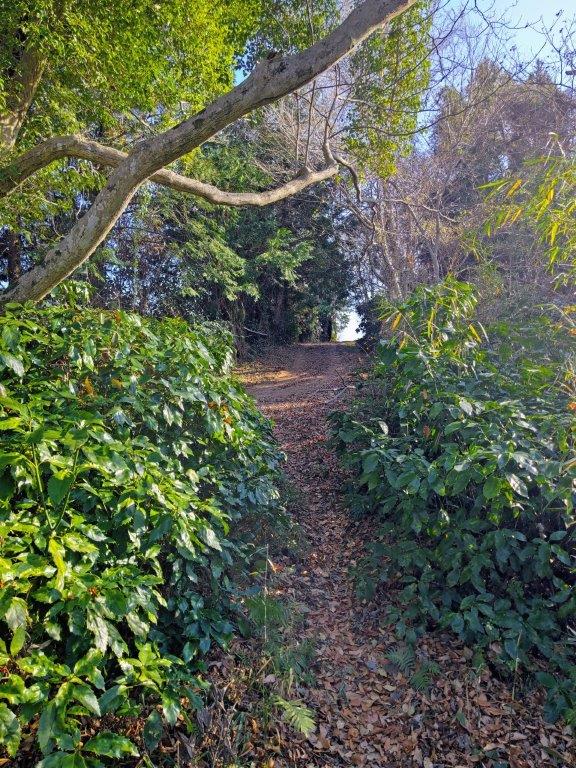
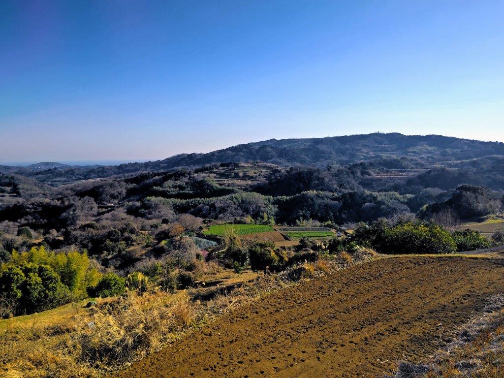
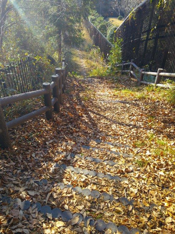
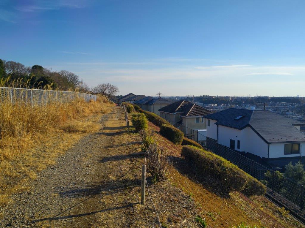
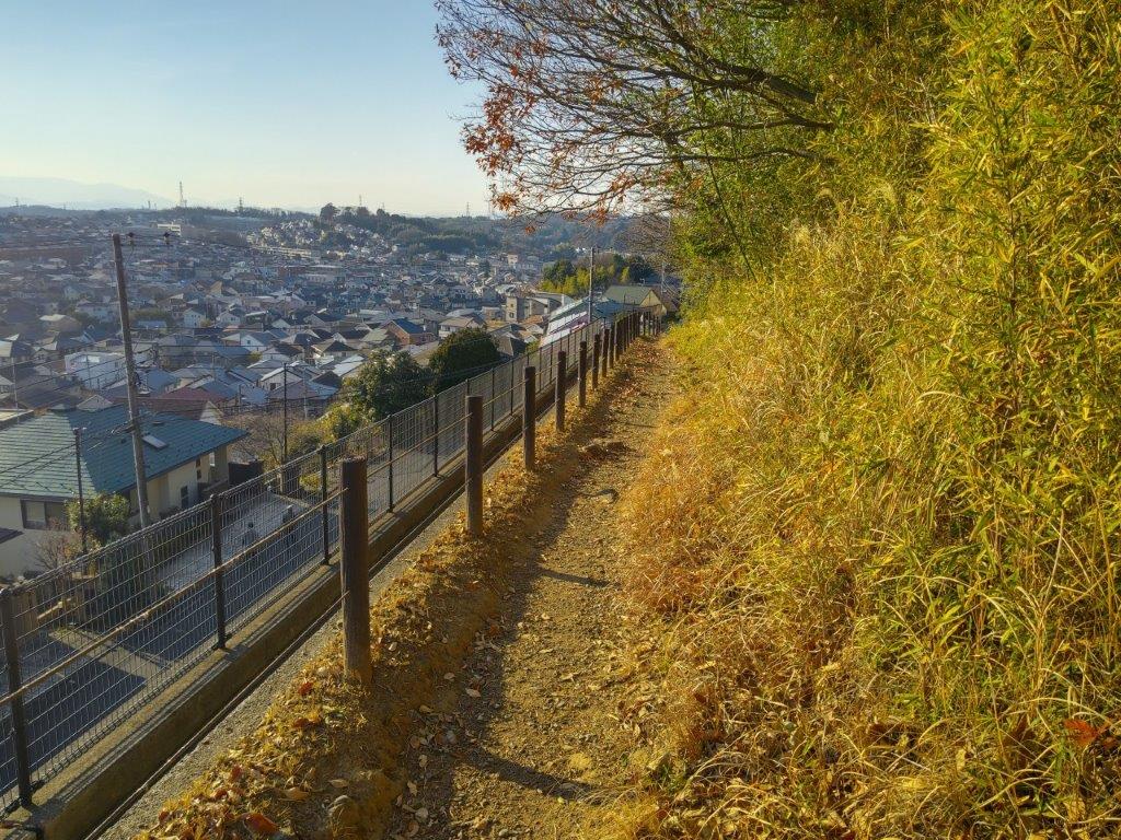
Start of the Hike (left) Alternate Path for the Ridge (right)
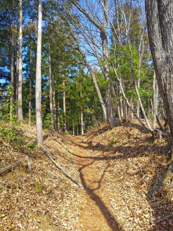
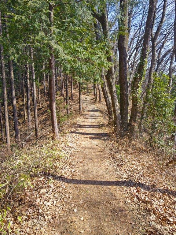
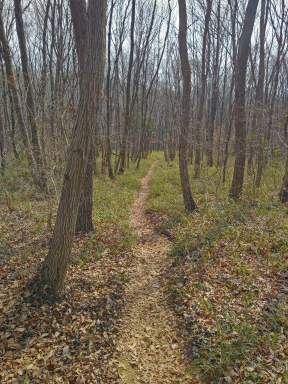
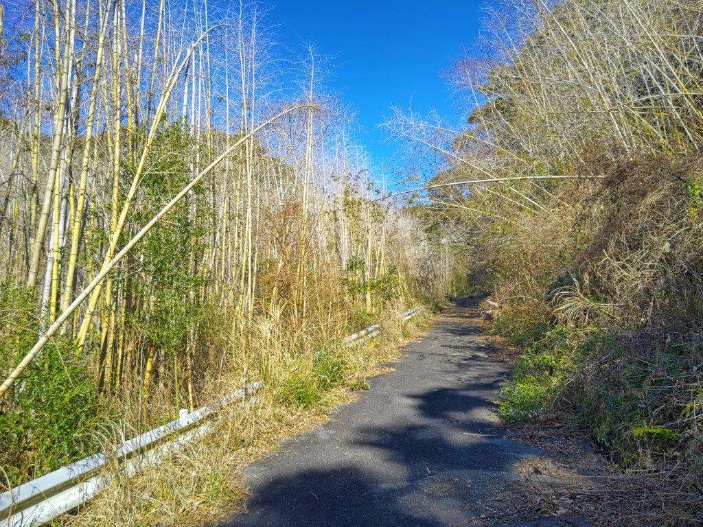
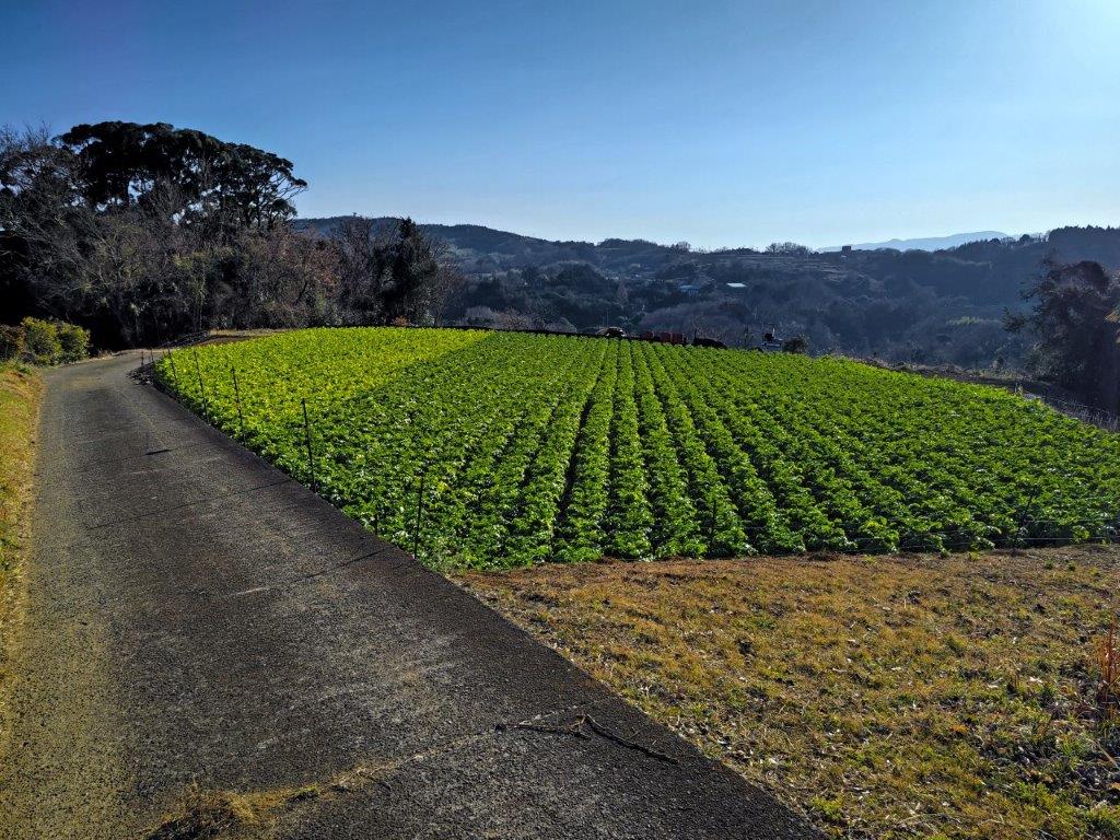
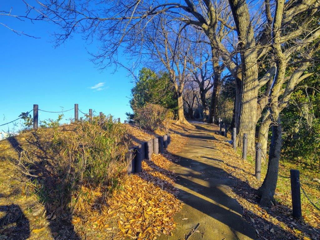
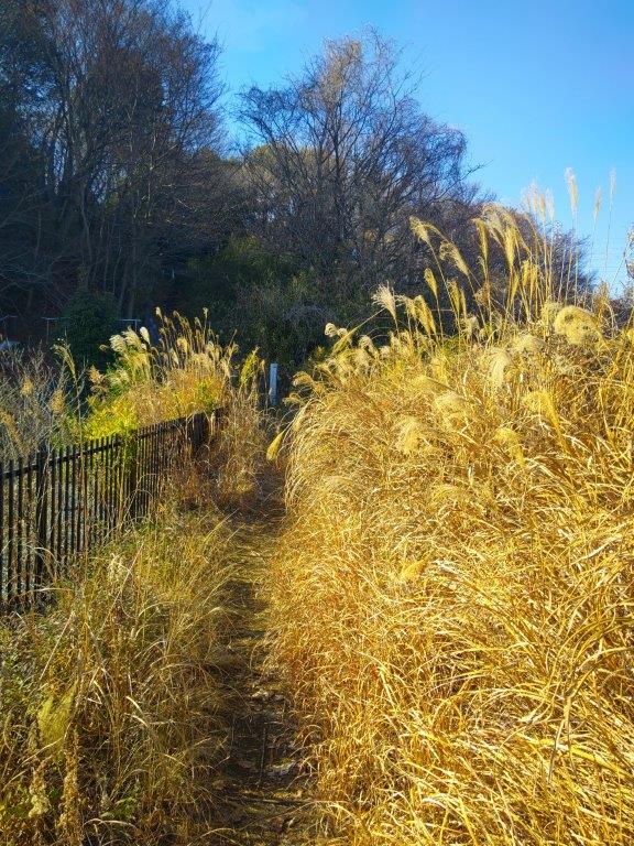
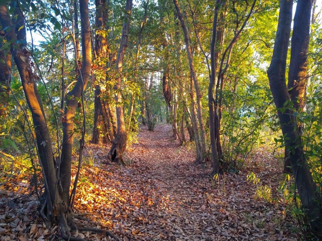
Ichi-no-O Ridge Trail (left) Sunny and Level Section (right)
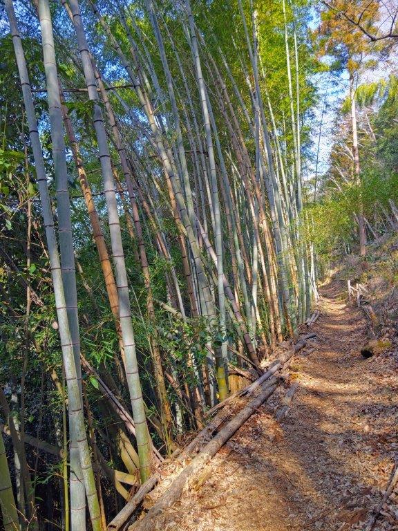
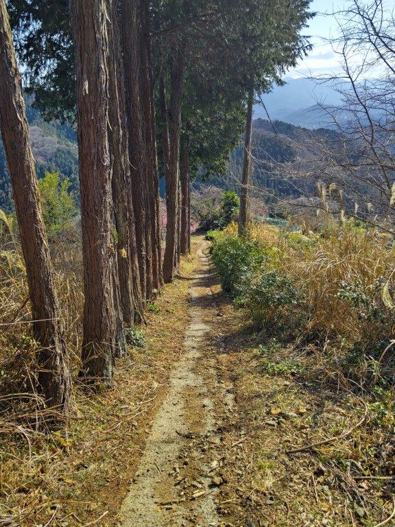
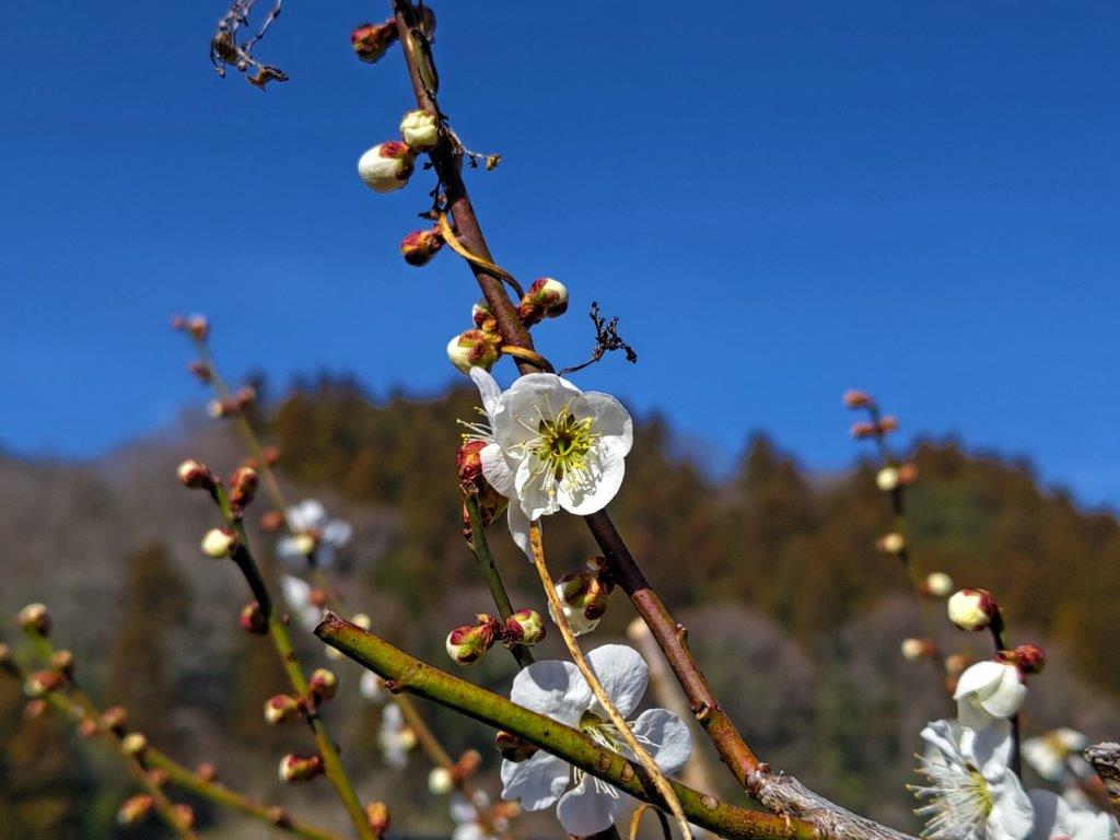
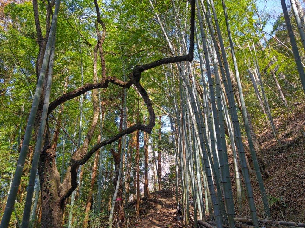
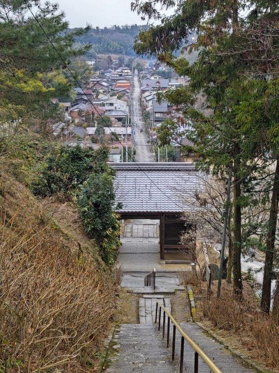
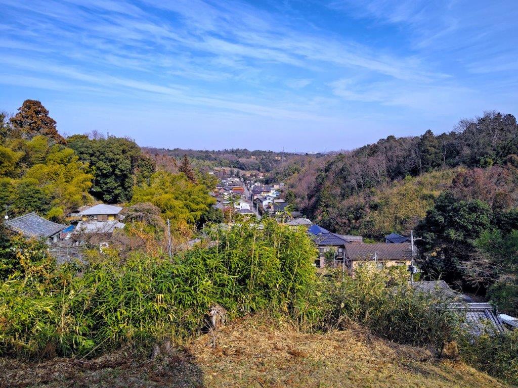
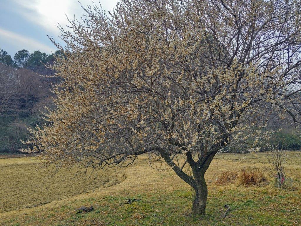
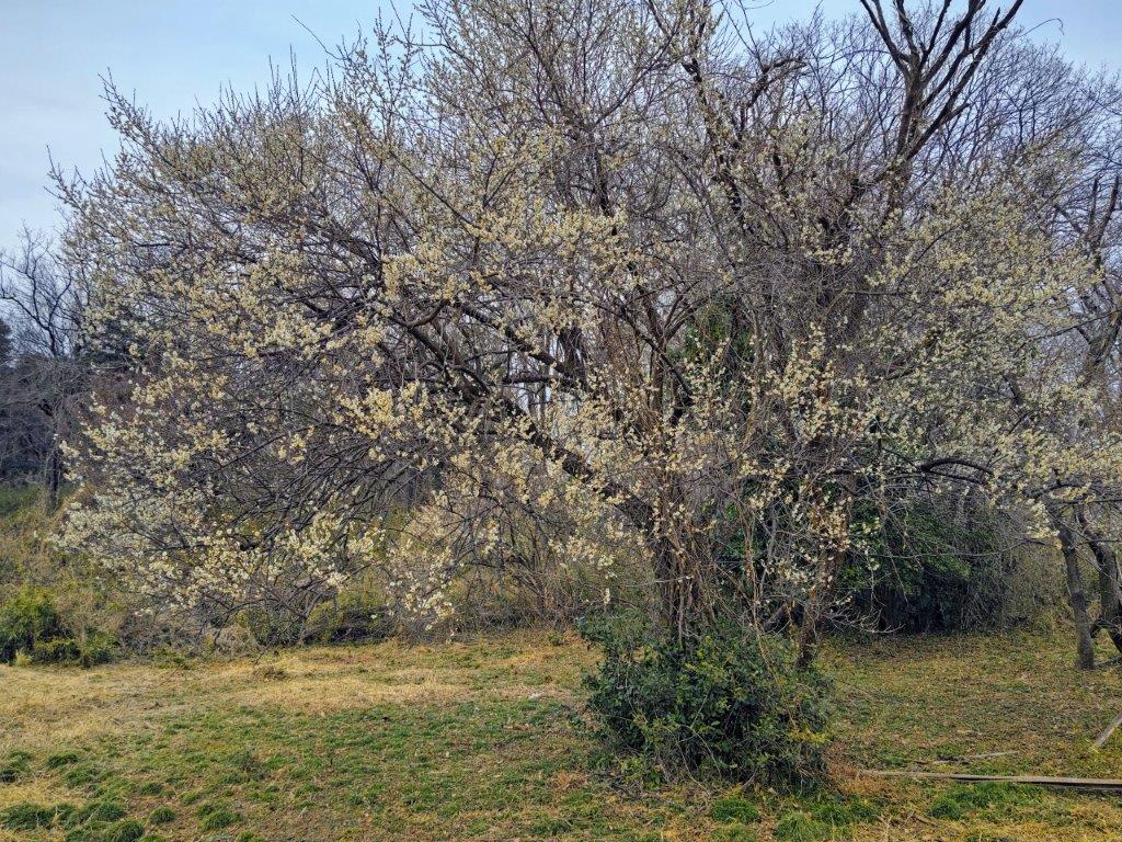
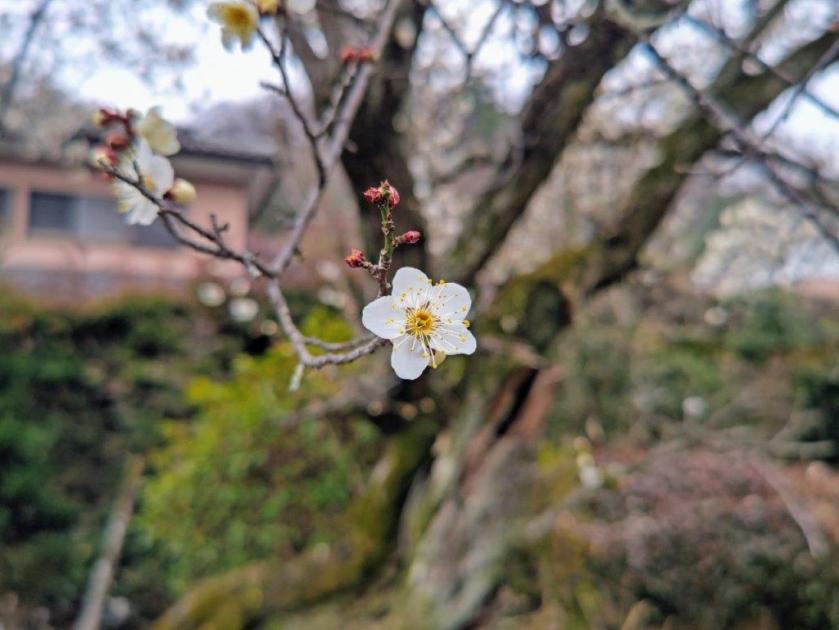
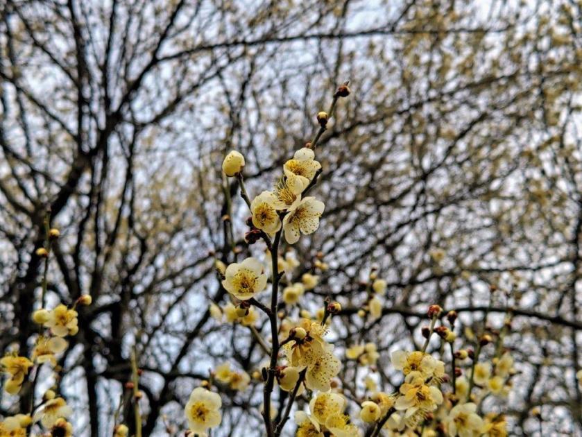
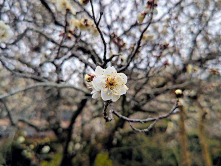
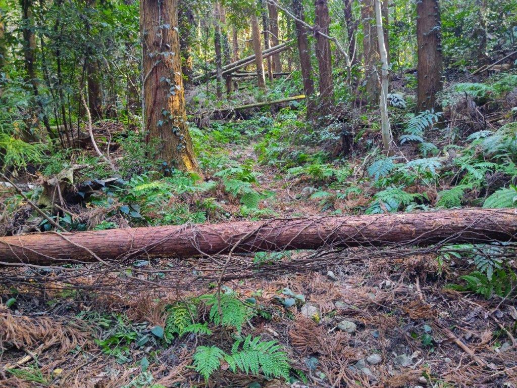
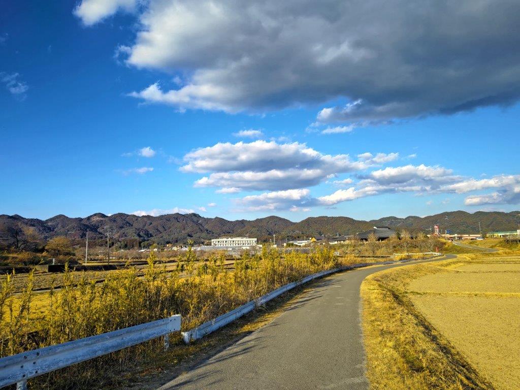
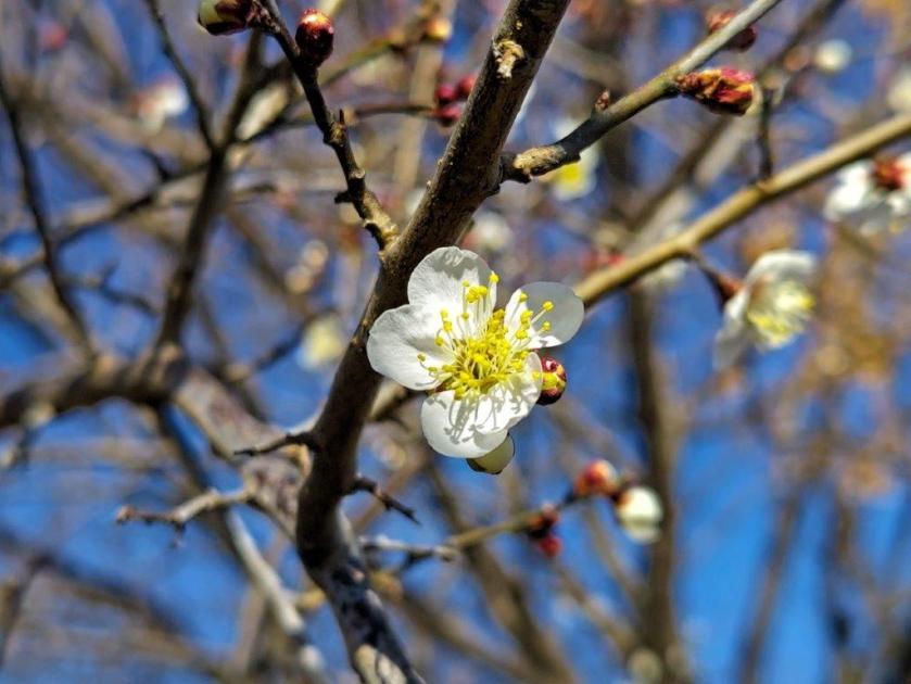
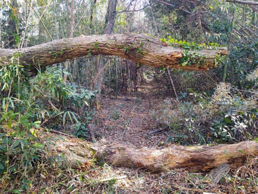
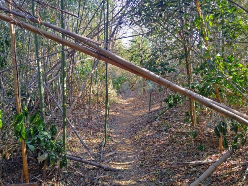
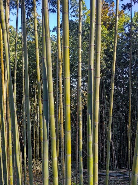
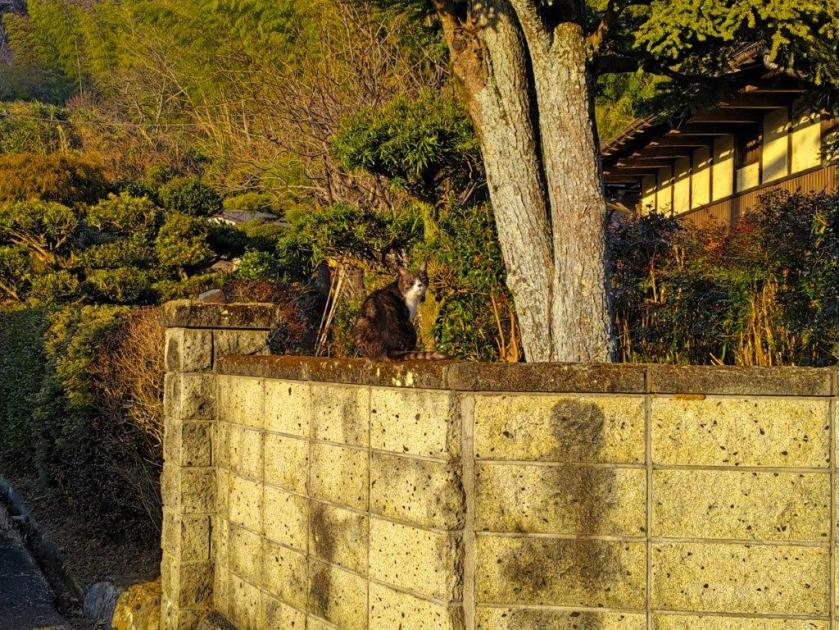
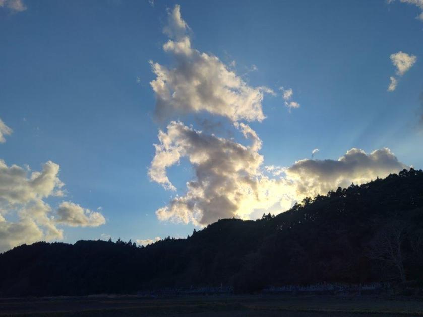
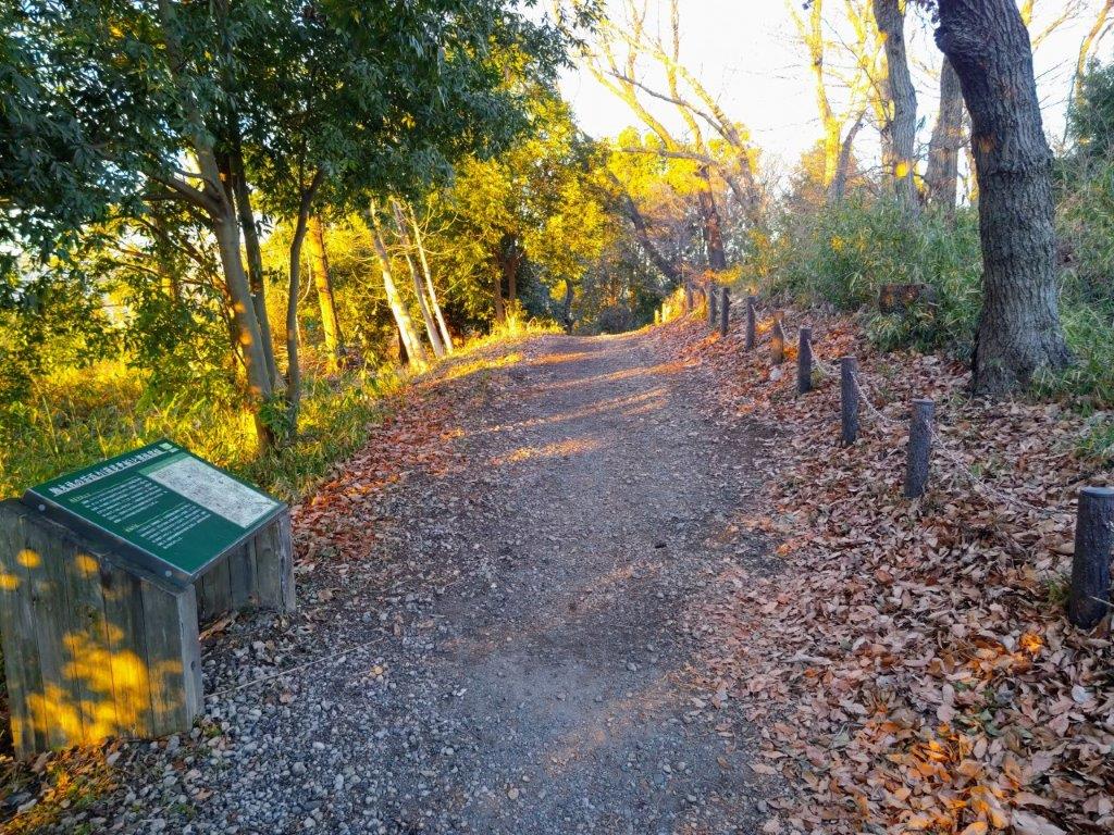
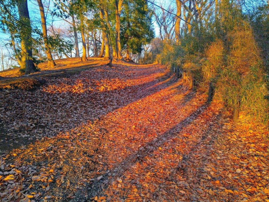
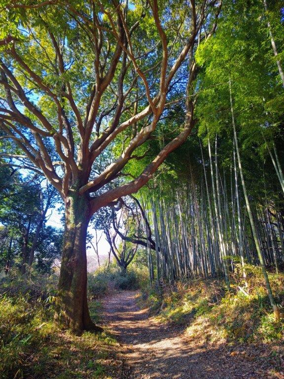
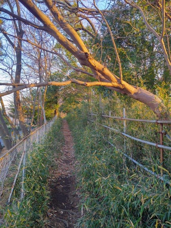
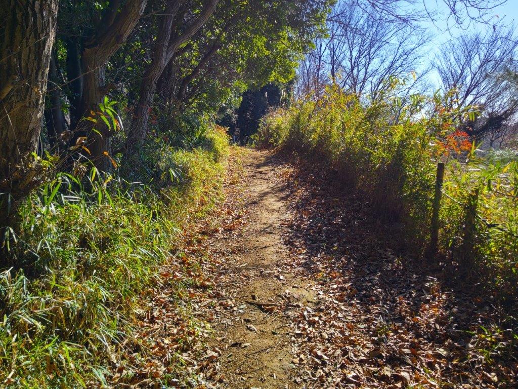
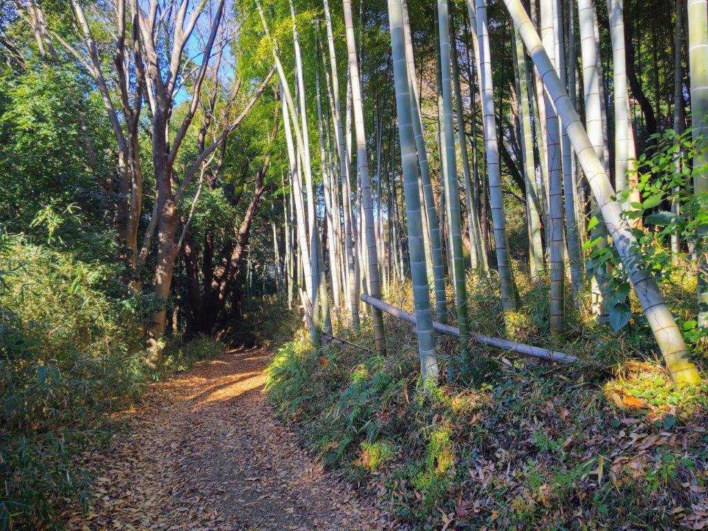
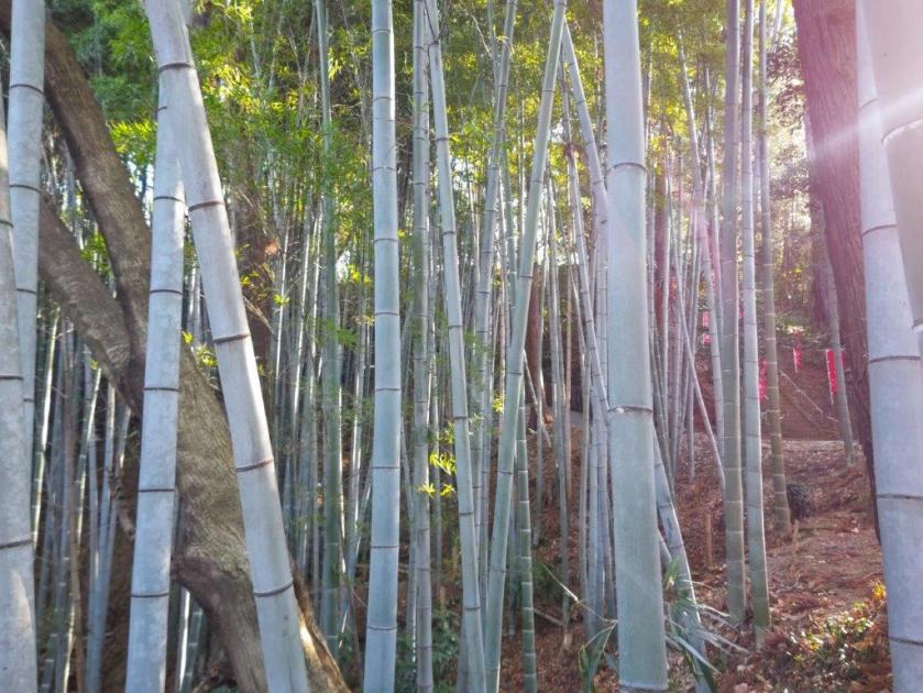
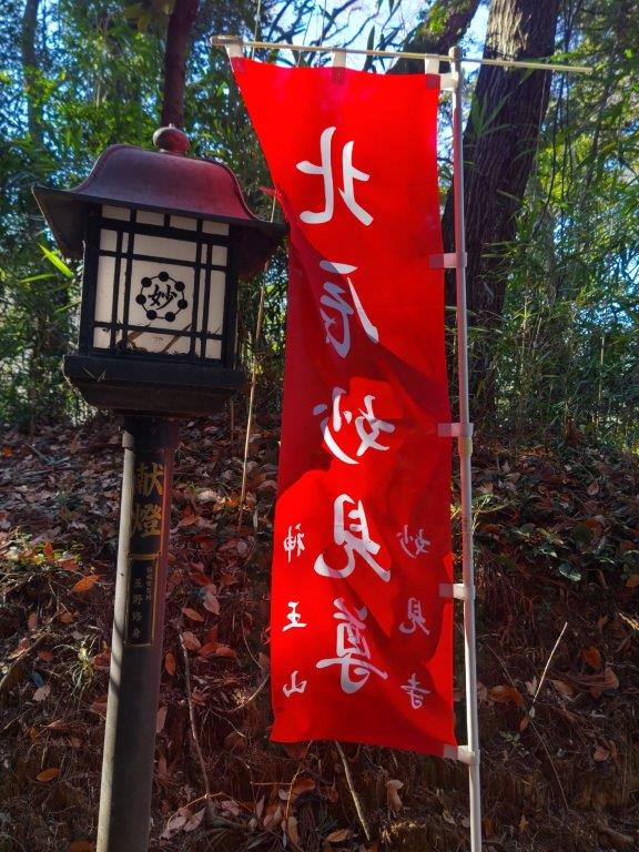
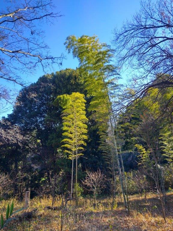
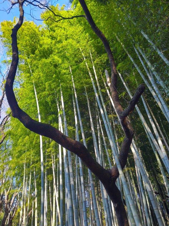
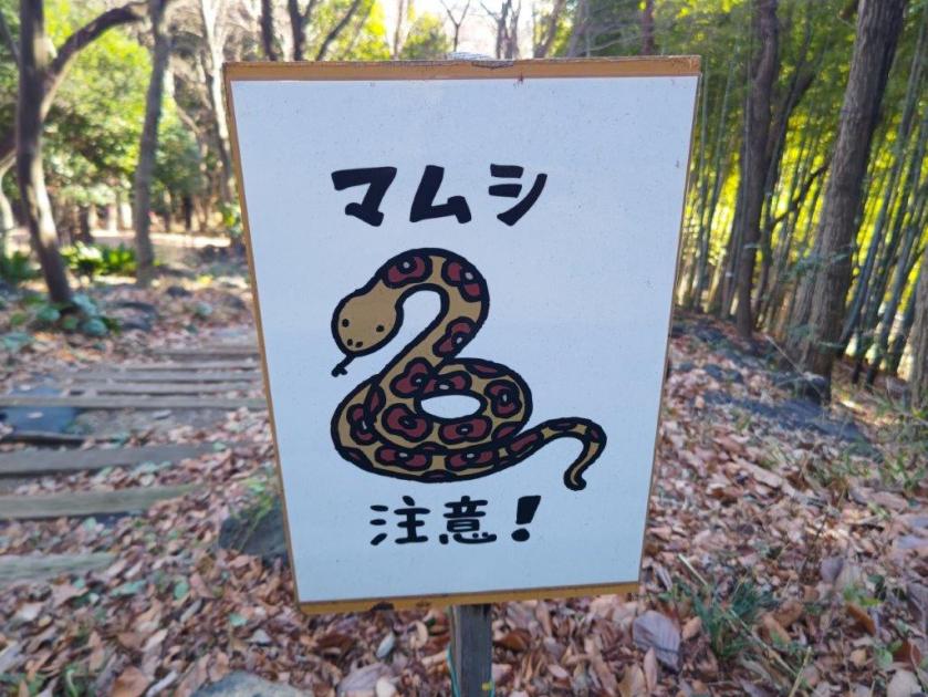
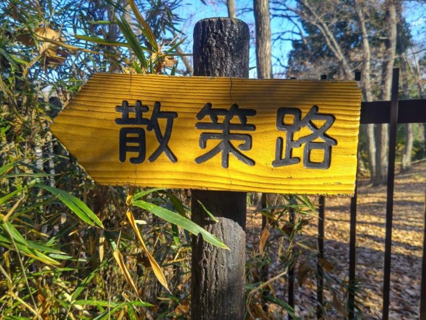
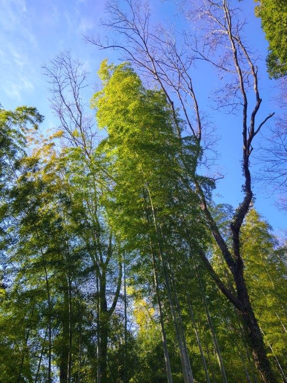
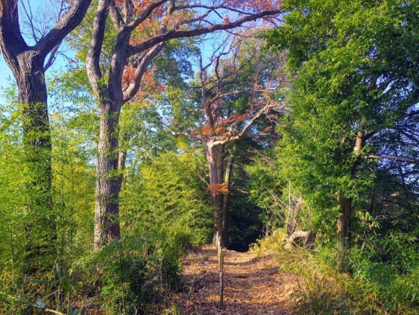
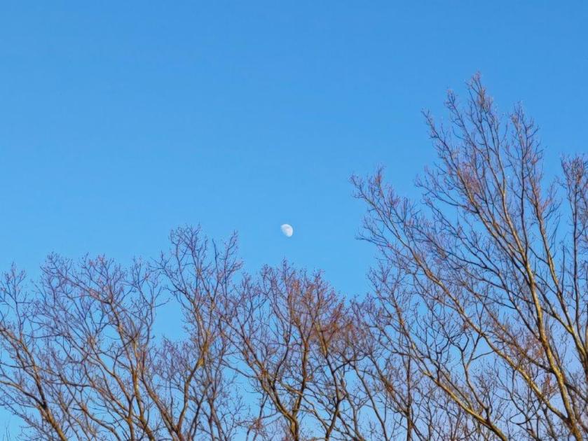
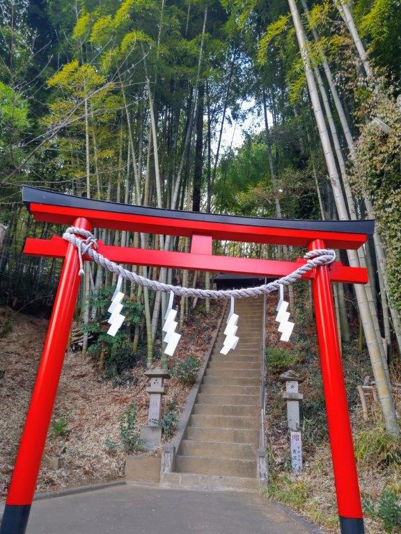
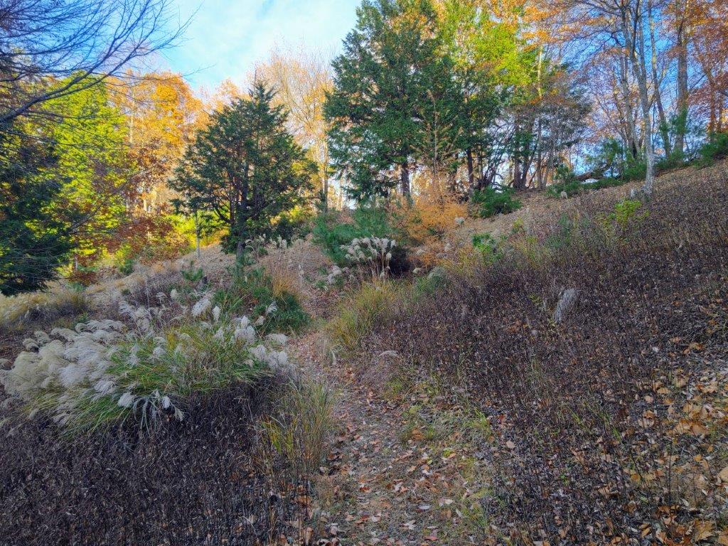
I couldn’t spot a cloud in the sky as I rode the Chuo line westwards through the Tokyo suburbs, Mt Fuji clearly visible to the south. The train leaving Shinjuku station had been delayed but fortunately the connecting train at Takao station kindly waited for us, and thus I was able to board the bus from Fujino station as planned. After a ten-minute ride on a half-empty bus, I got off at Kami-sawai stop, a peaceful spot on the Sawai river, here and there plum blossoms in full bloom. I quickly located a sign for the trail entrance on the right side, and a little after 10am, was following a charming path next to a bamboo grove.
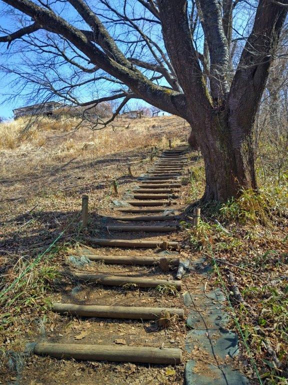
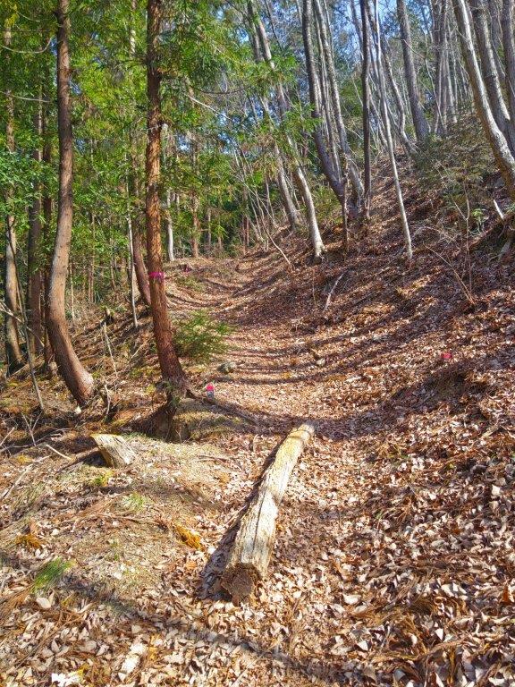
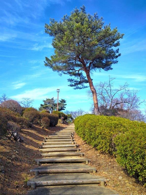
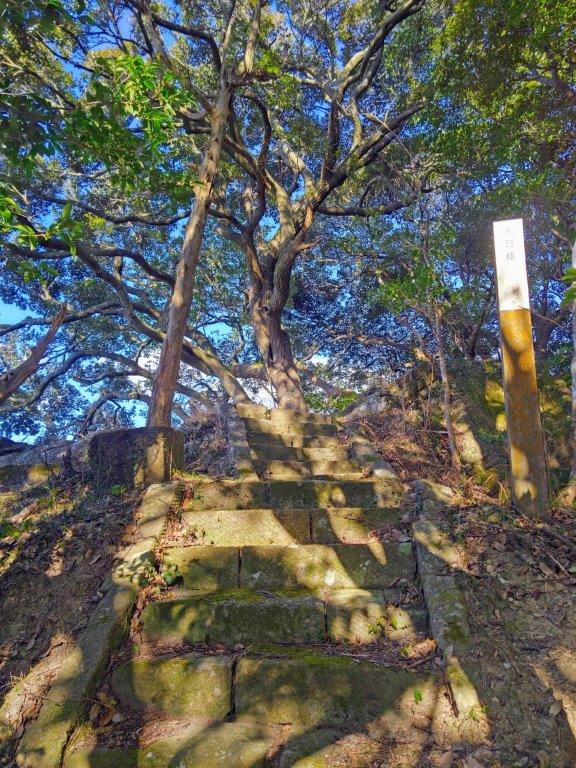
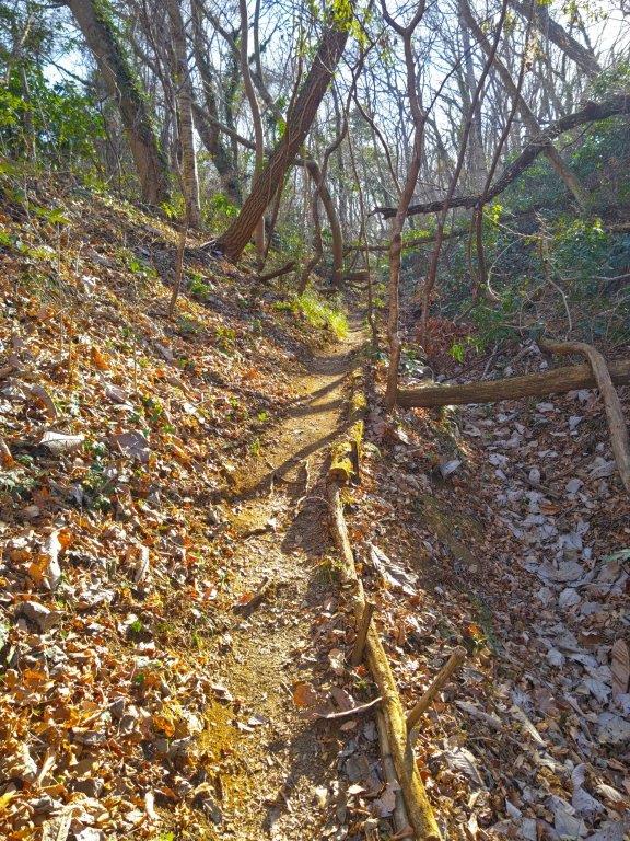
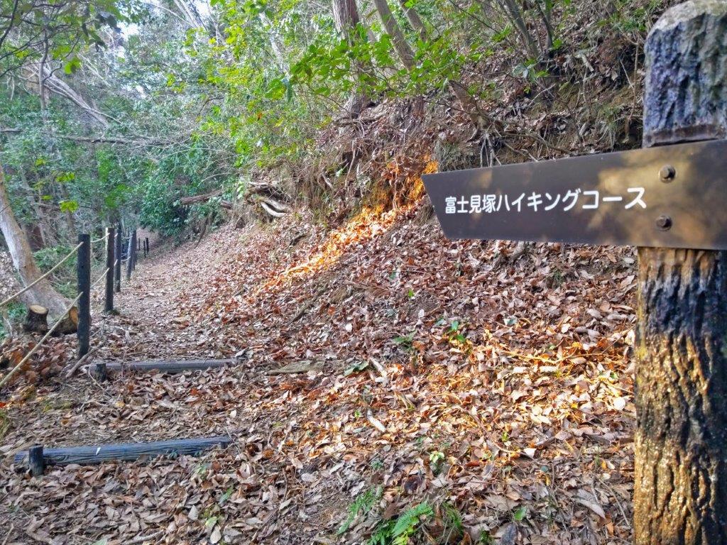
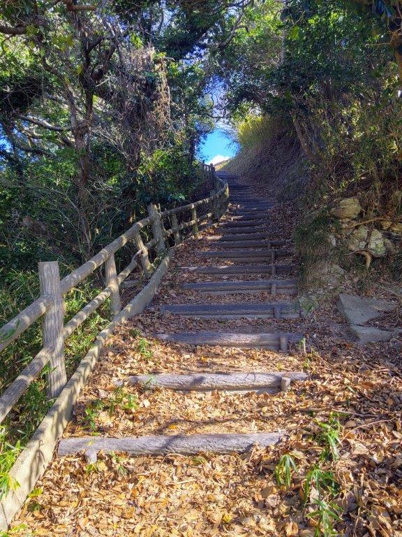
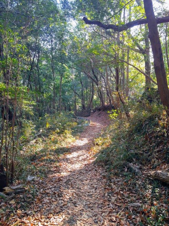
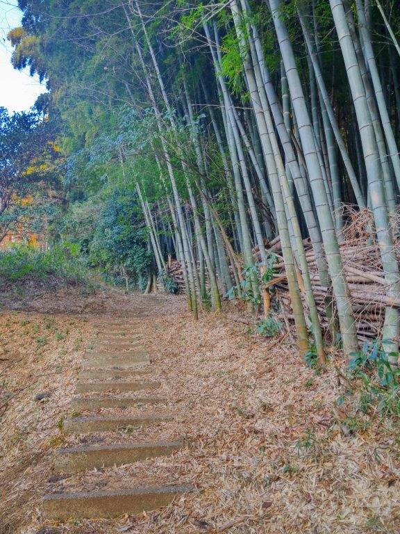
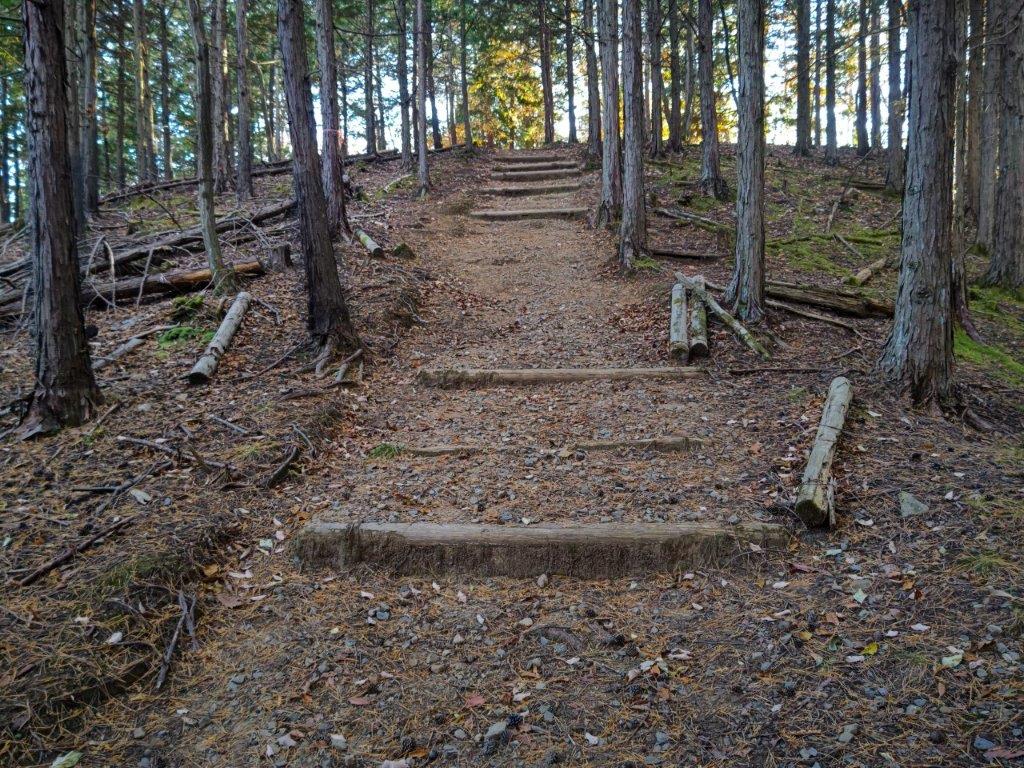
Halfway up (left) Log Steps below the Top (right)
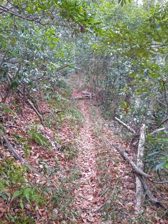
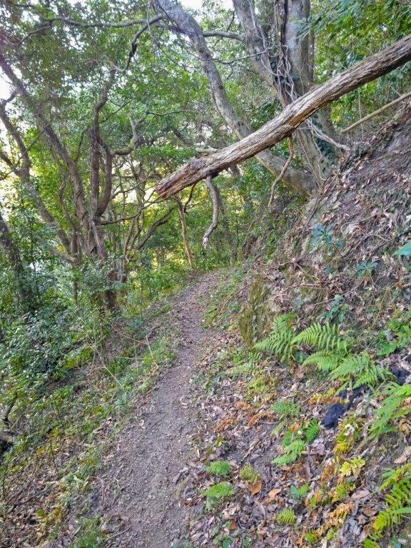
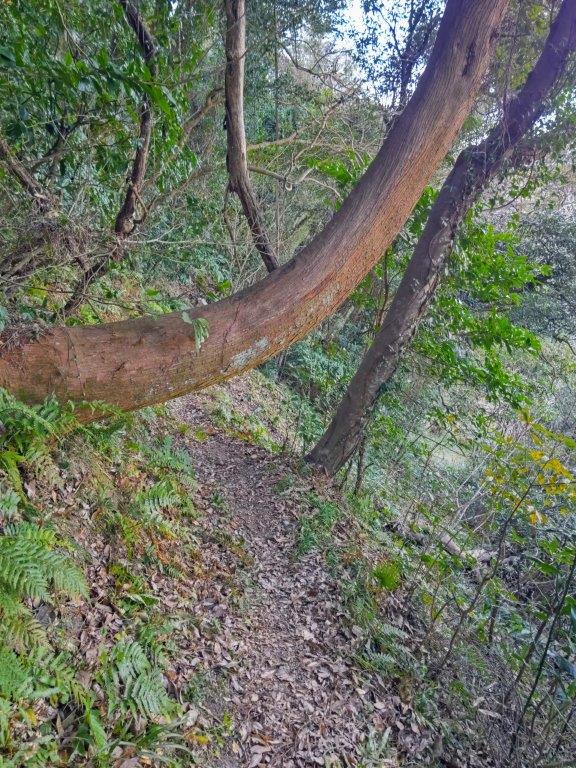
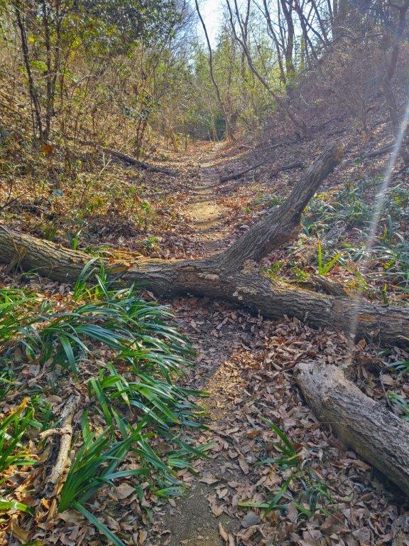
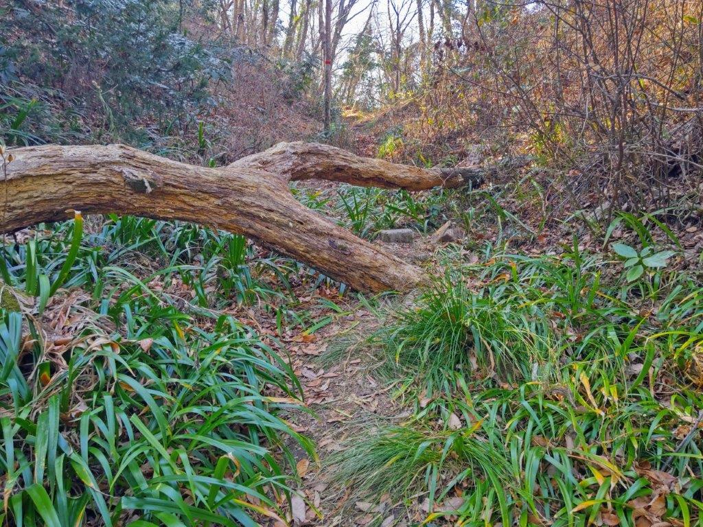
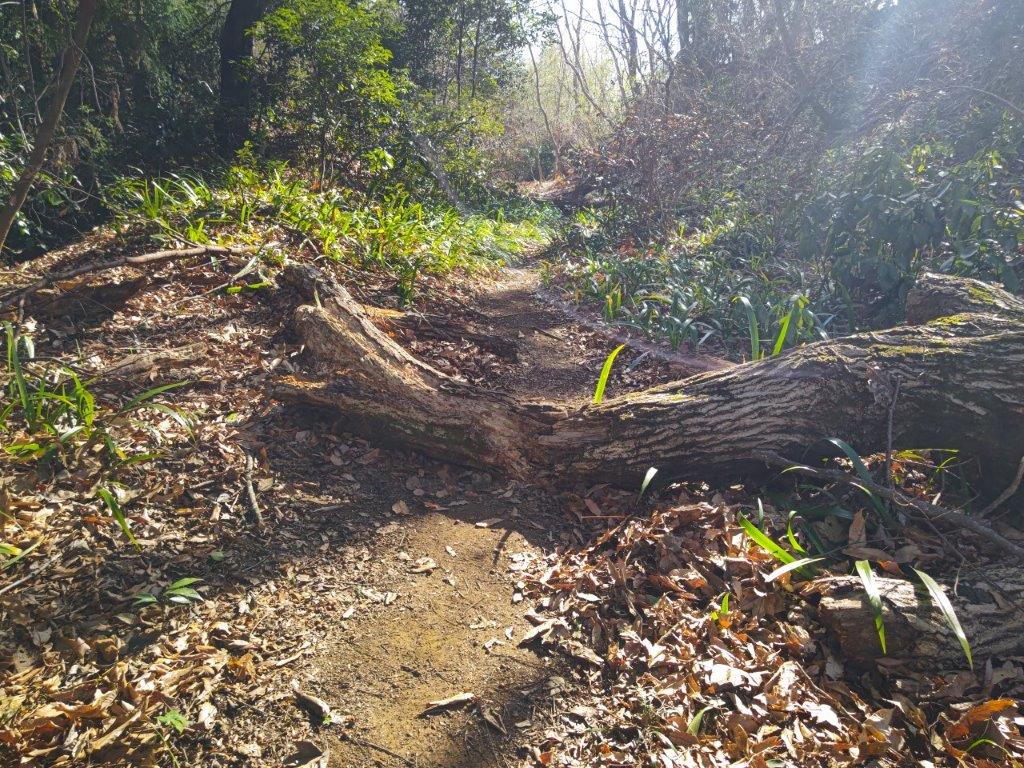
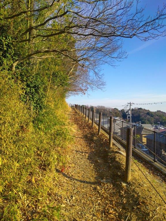
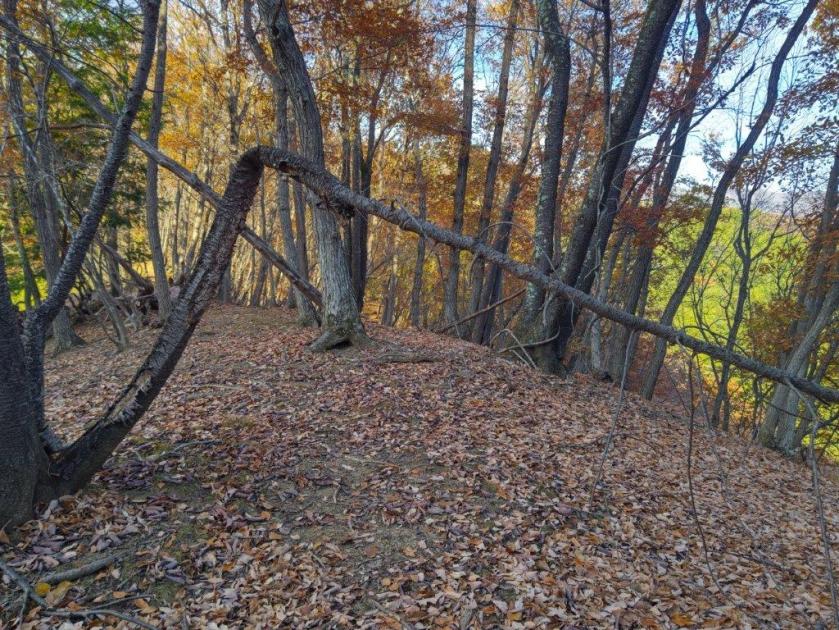
Heading down (left) on the Tochitani Ridge Trail (right)
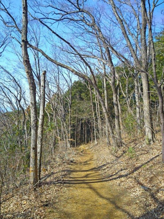
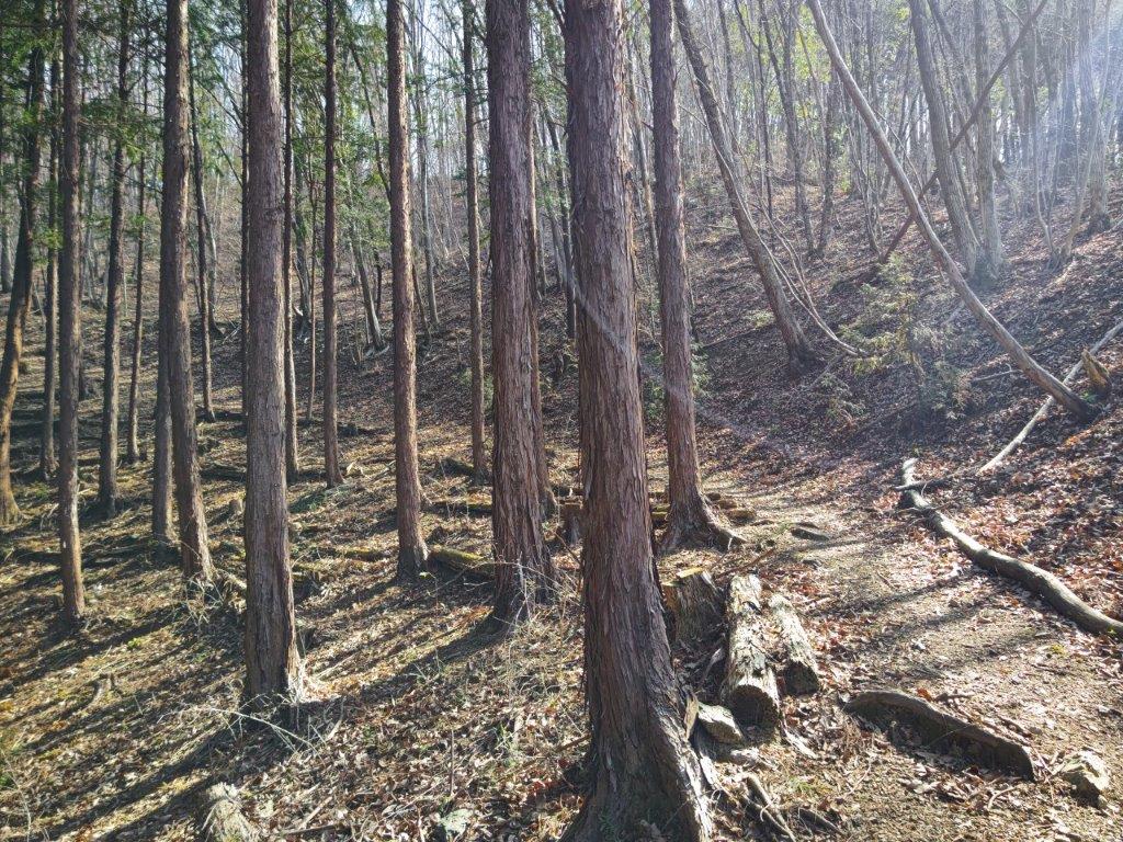
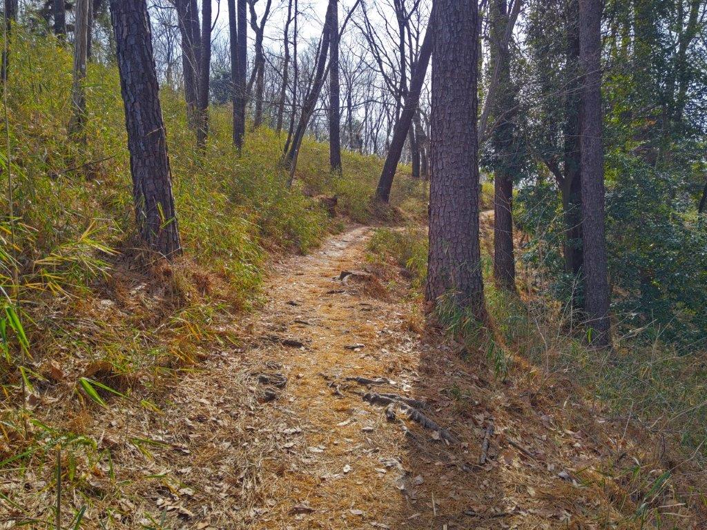
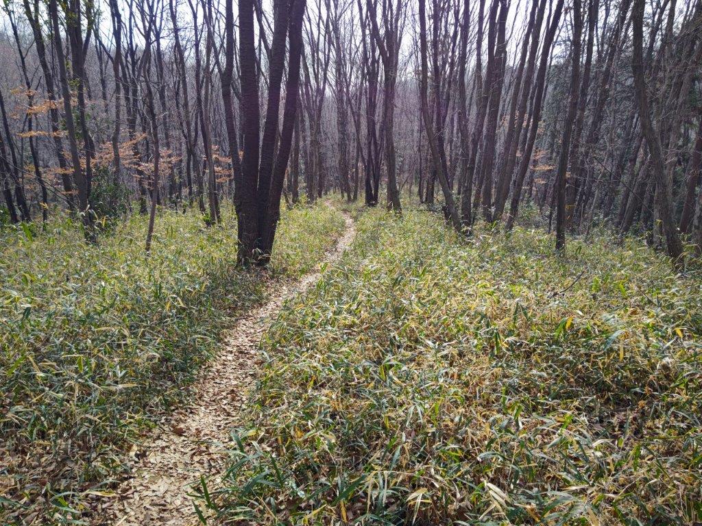
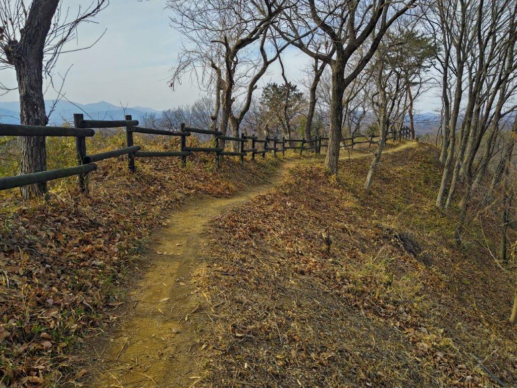
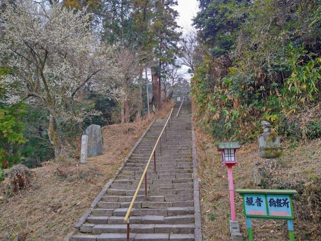
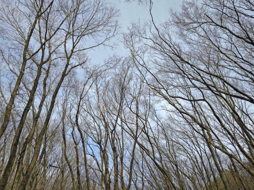
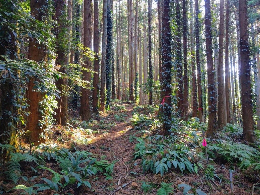
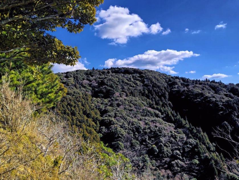
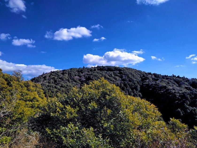
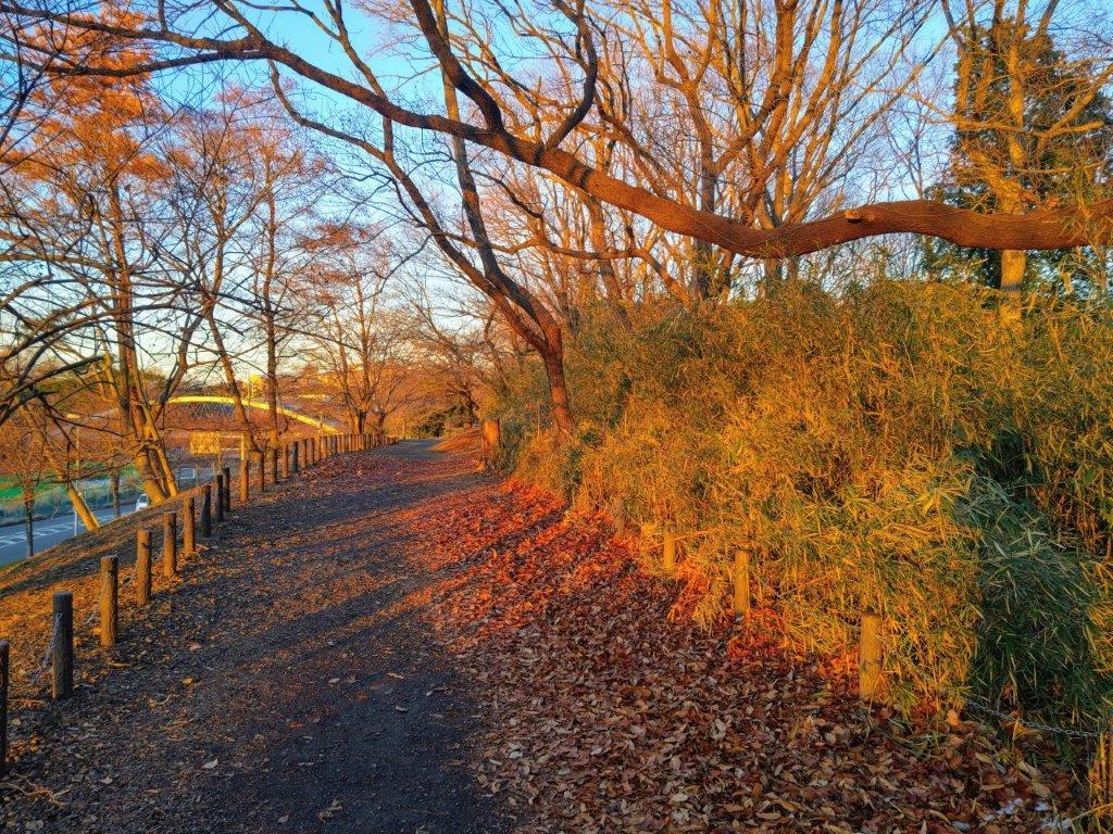
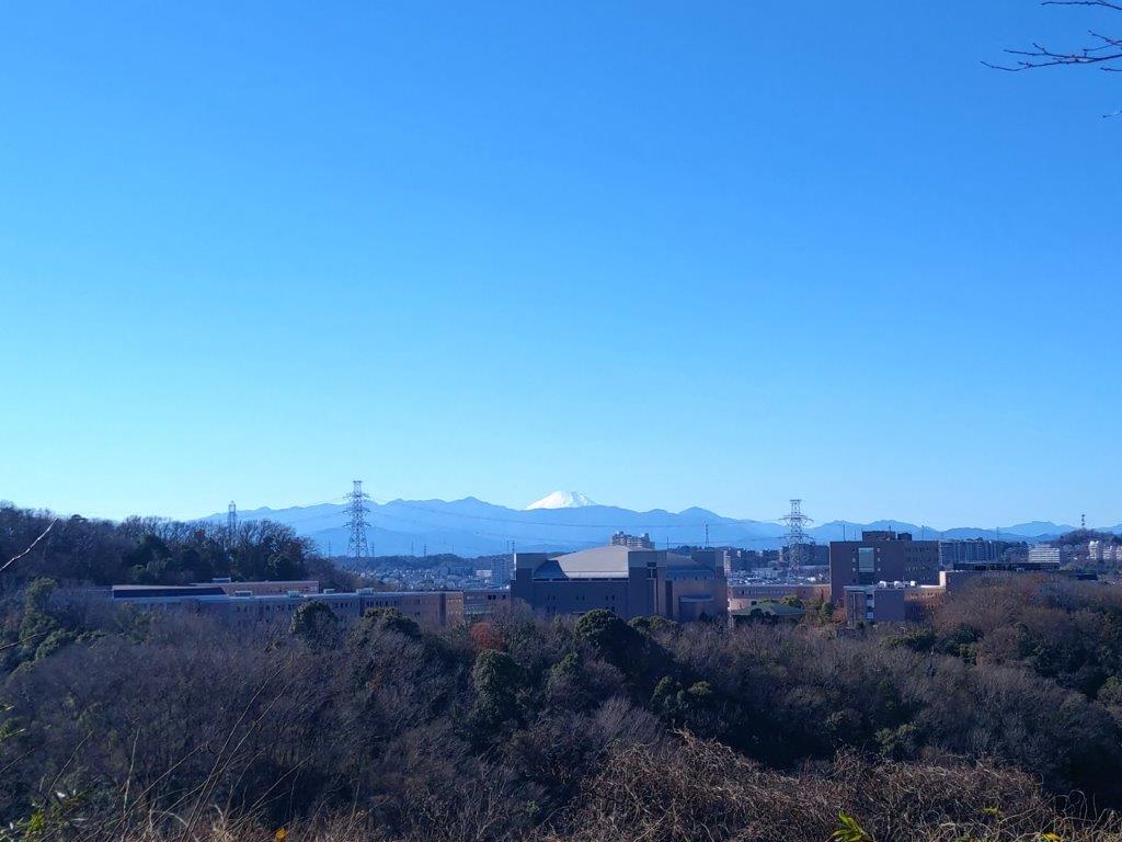
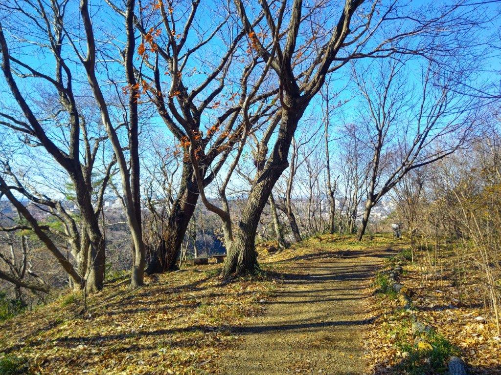
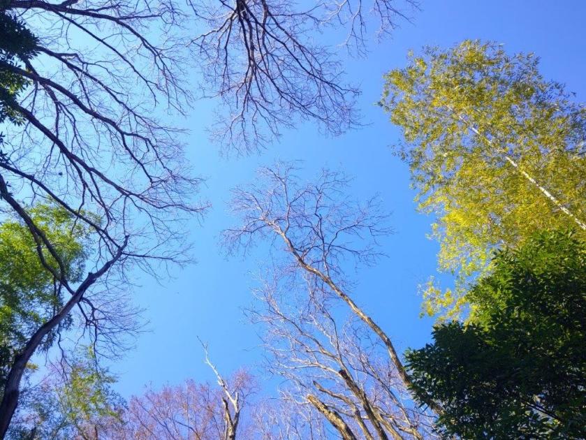
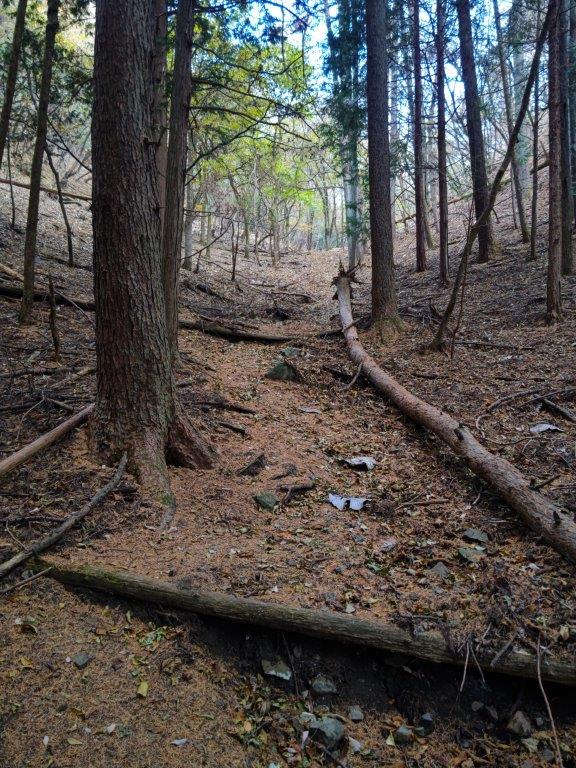
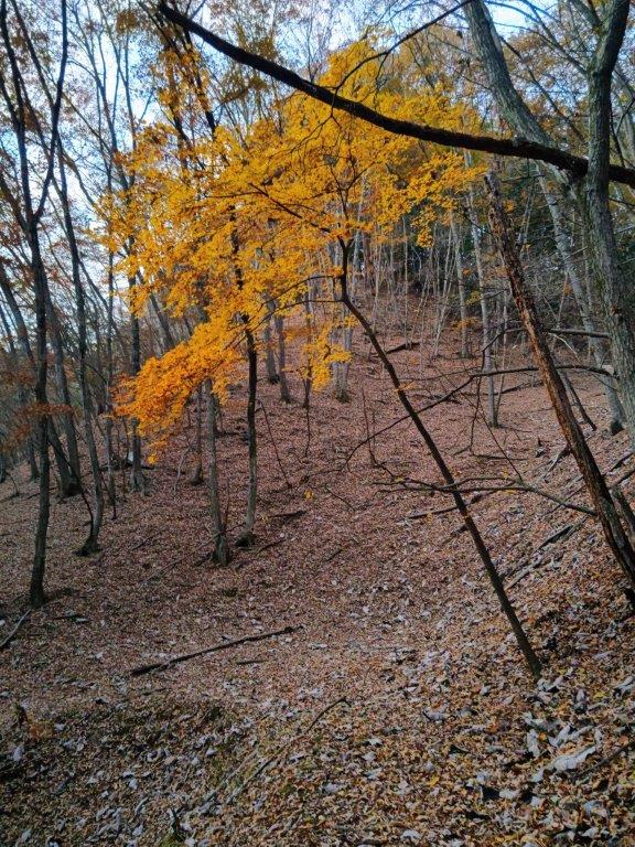
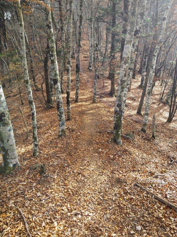
I was surprised to see no one on the trail on this beautiful spring day, probably due to the high levels of cedar pollen in the air. After half an hour of gentle climbing, I turned left onto the wider Ichi-no-O Ridge Trail (一ノ尾尾根コース). From this point, I occasionally passed hikers going up and down, but most of the time I had the sunny trail to myself, the mixed forest still leafless in this season. The path alternated between level and climbing sections; turning around in the middle of a slope, I could make out Mt Fuji through the bare trees. An hour and a half after setting off, the trail merged with the the Wada Ridge Route #2 which I had used a couple of years ago.
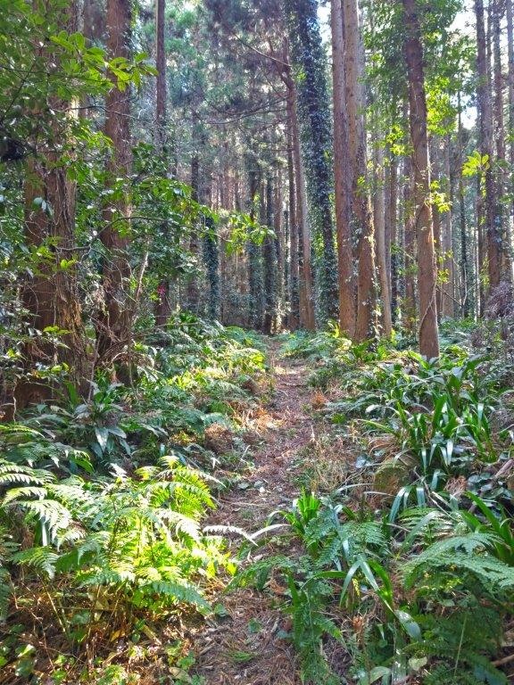
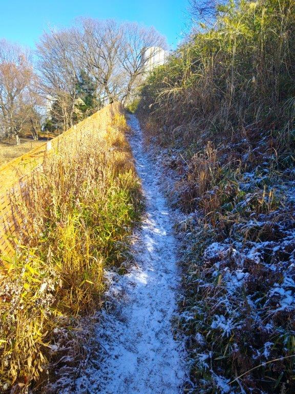
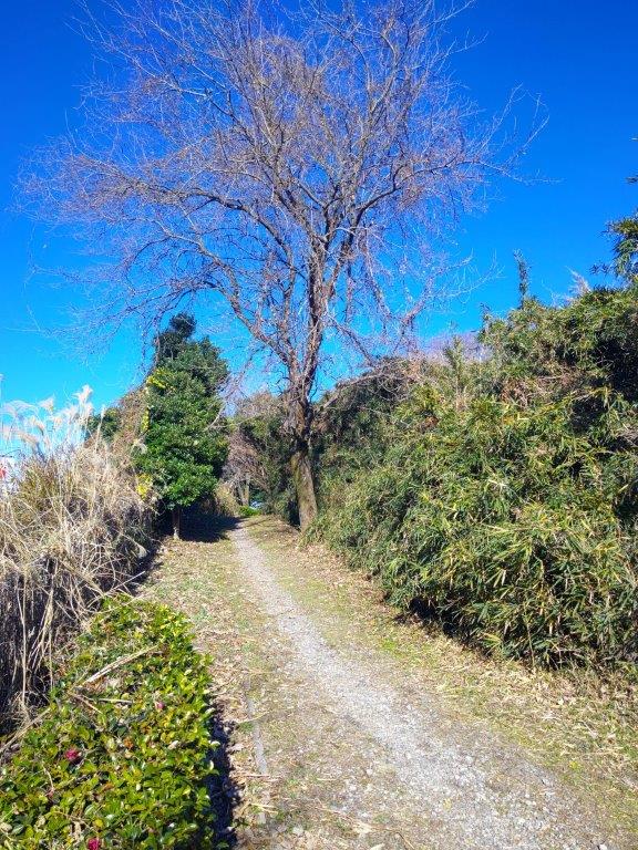
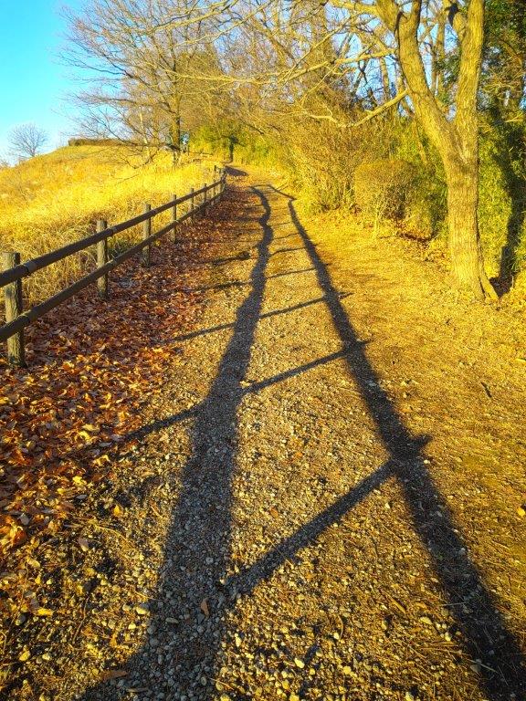
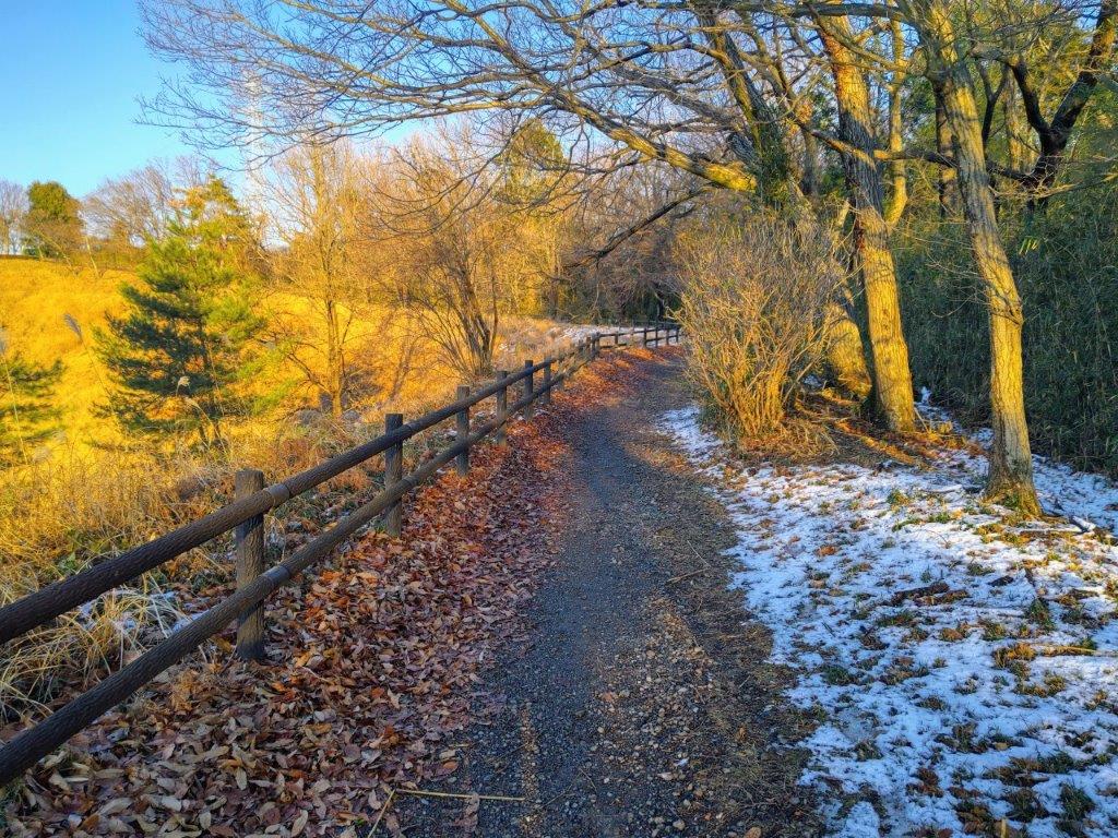
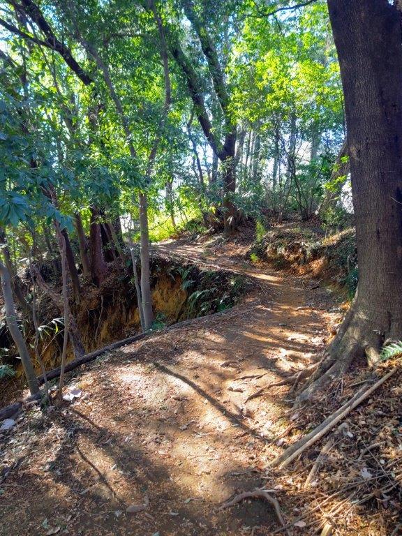
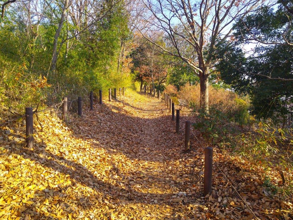
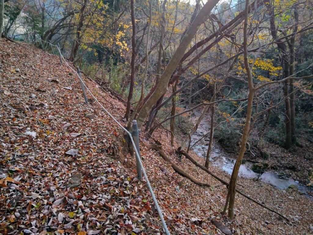
Trail between Kamisawai and the Ichi-no-O Ridge Route
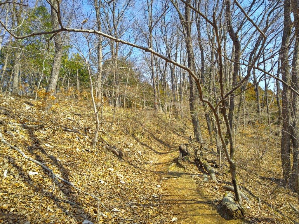
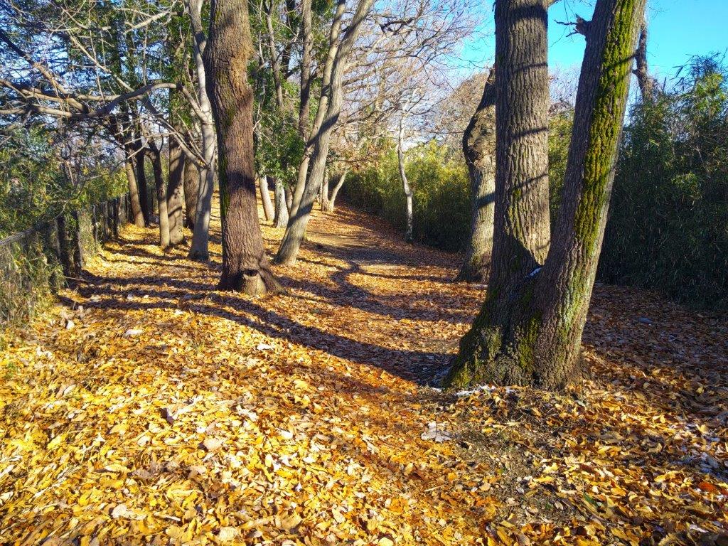
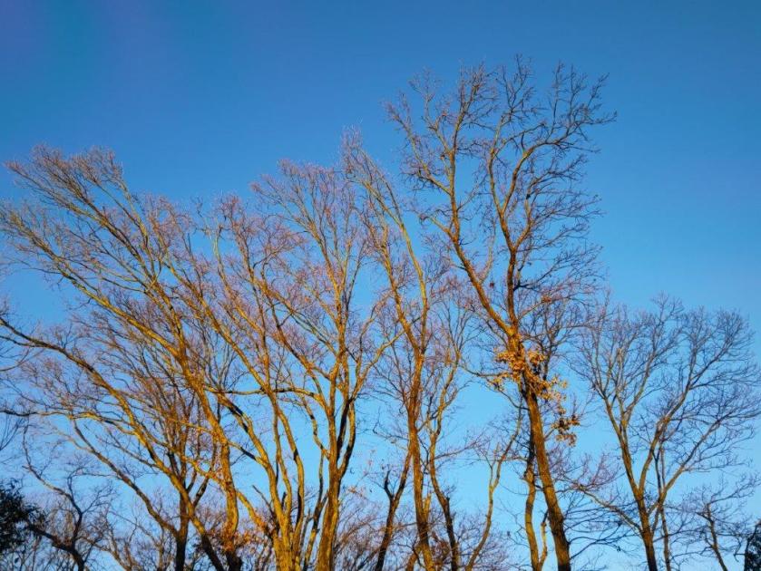
Sunny Section Halfway up the Ichi-no-O Ridge Route
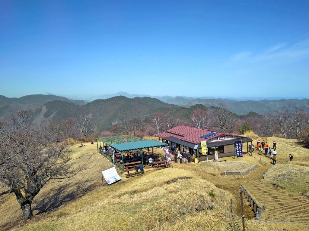
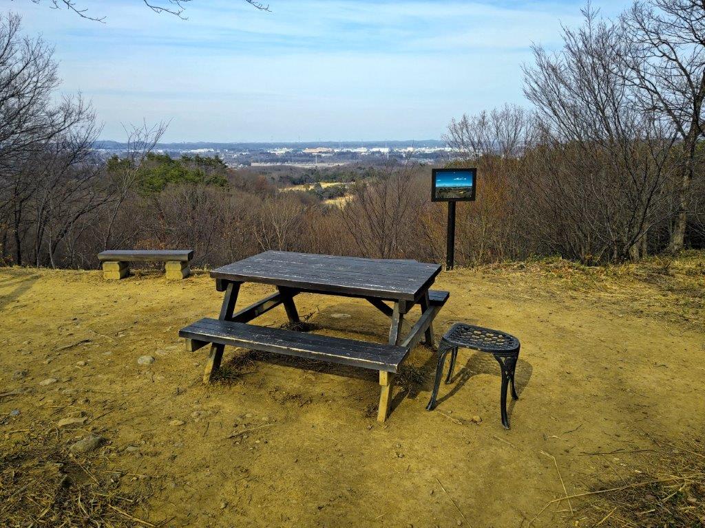
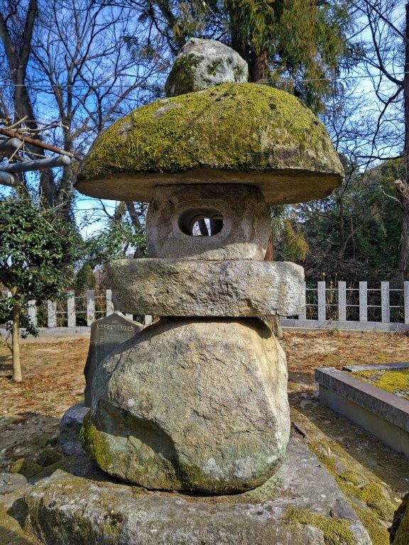
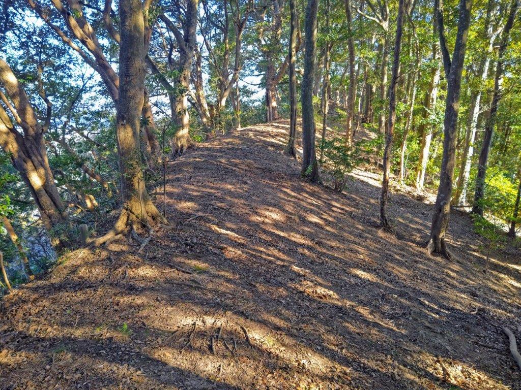
I picked up the pace since I was familiar with this section, and soon reached the log steps for the final climb to the summit. Shortly before noon, I was standing on the top of Mt Jinba (陣馬山 じんばさん jinba-san) for the fourth time. I was now surrounded by people, including a camera crew interviewing hikers about their lunch choices; I still managed to find a seat at one of the tables for my own, media-free lunch. Some people were in city clothes, and had probably walked up the steps from the nearby Wada Pass parking lot. The horse statue, for which Mt Jinba is famous for, was looking the worse for wear; I hoped it’d get a facelift in the near future.
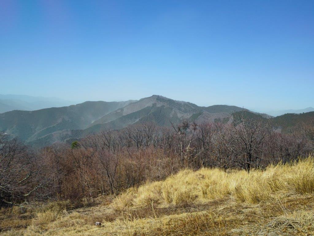
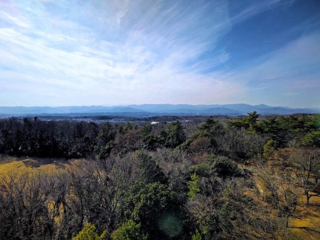
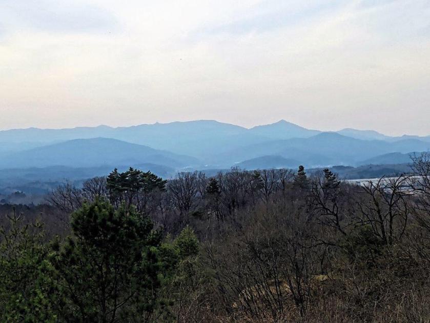
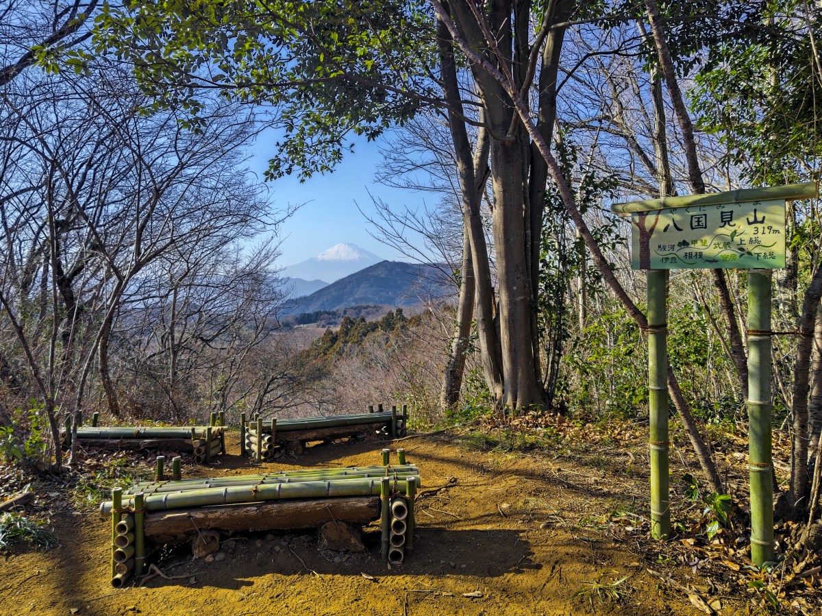
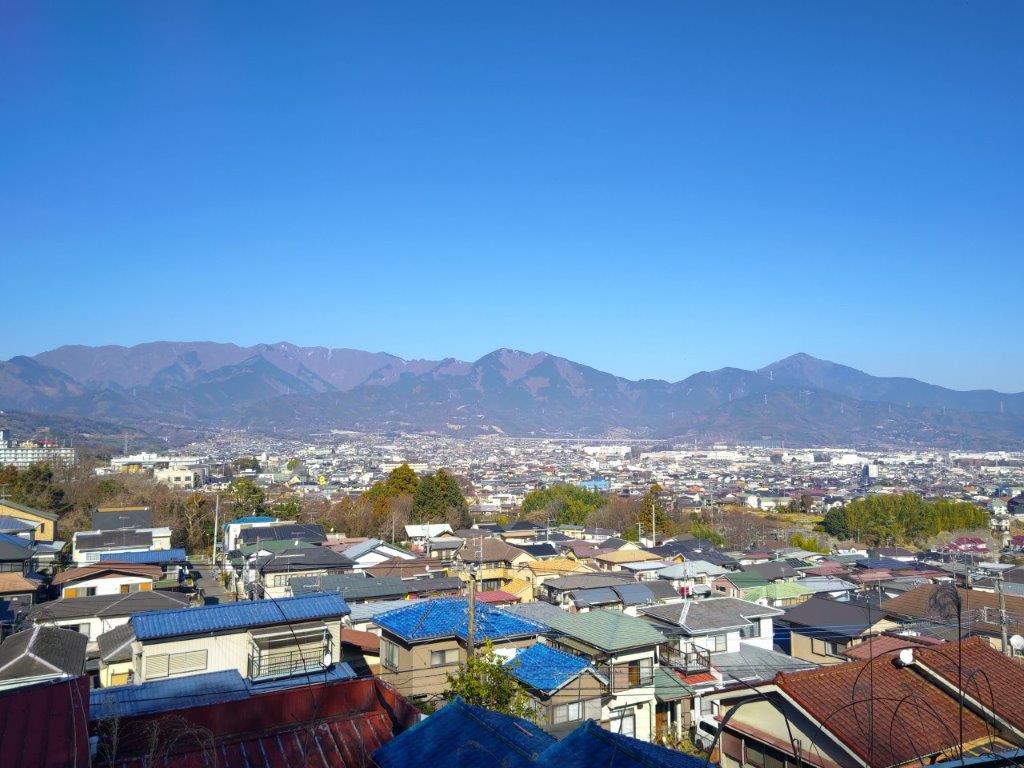
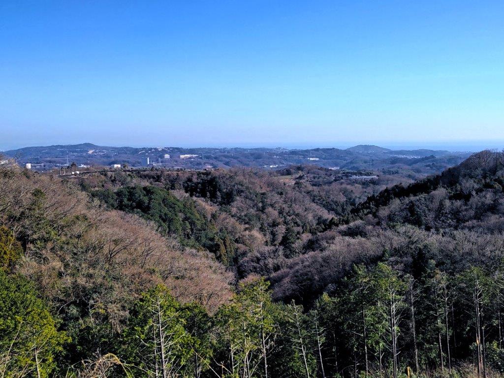
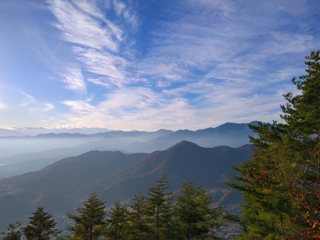
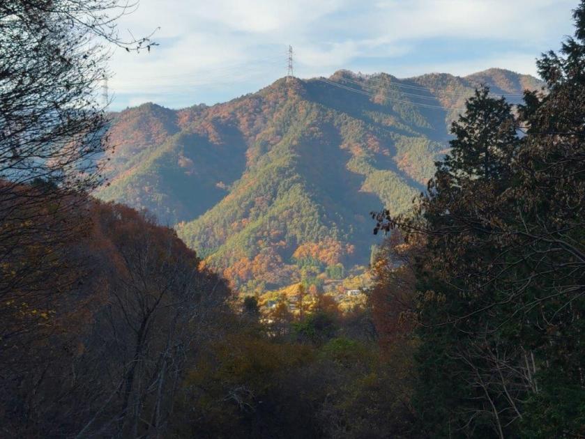
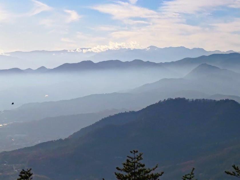
View West from Mt Jinba towards Mt Shoto
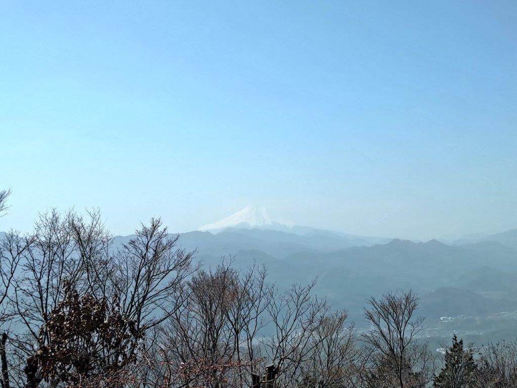
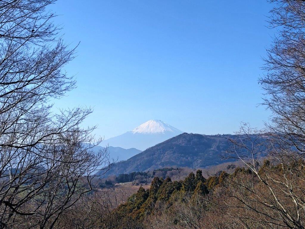
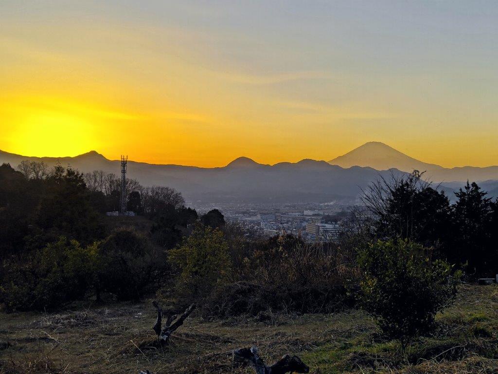
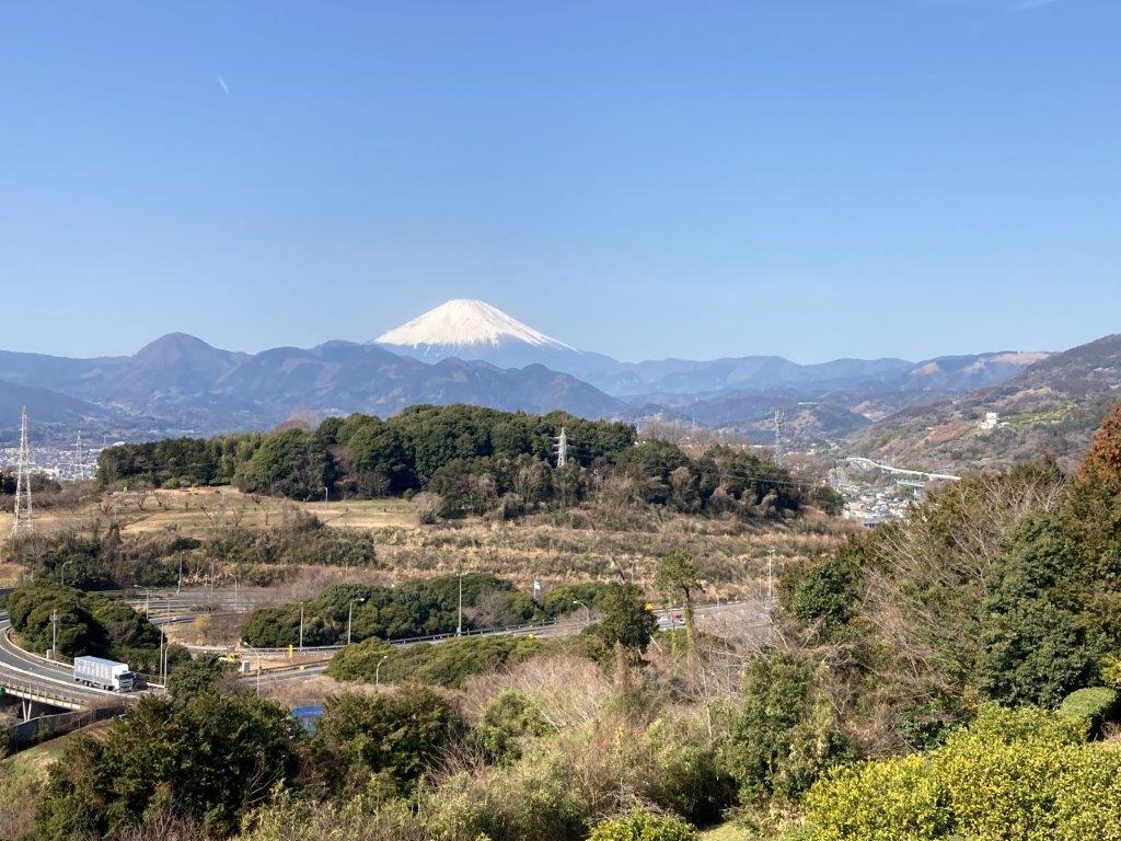
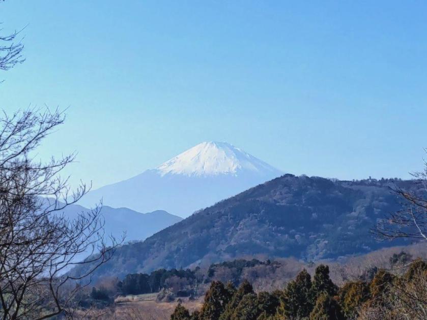
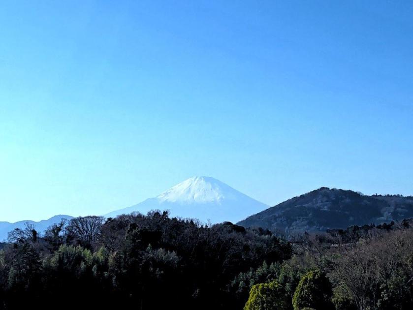
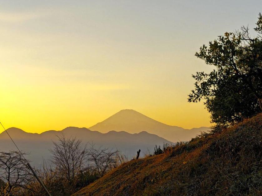
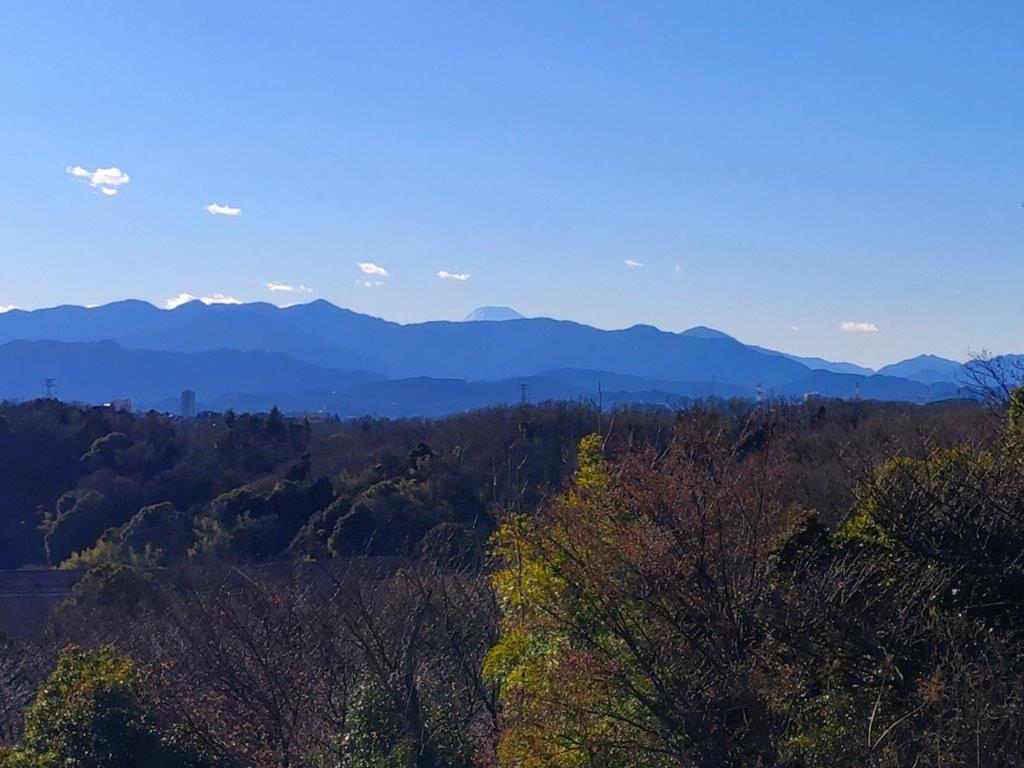
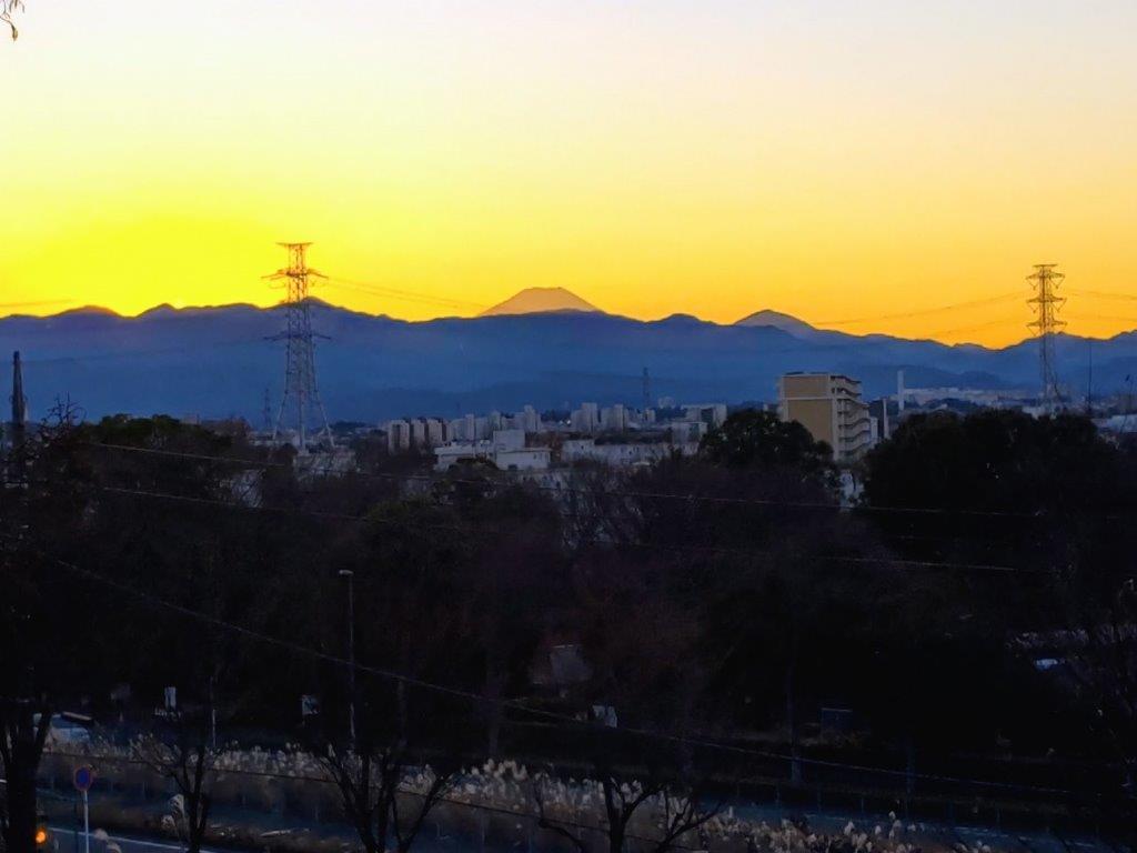
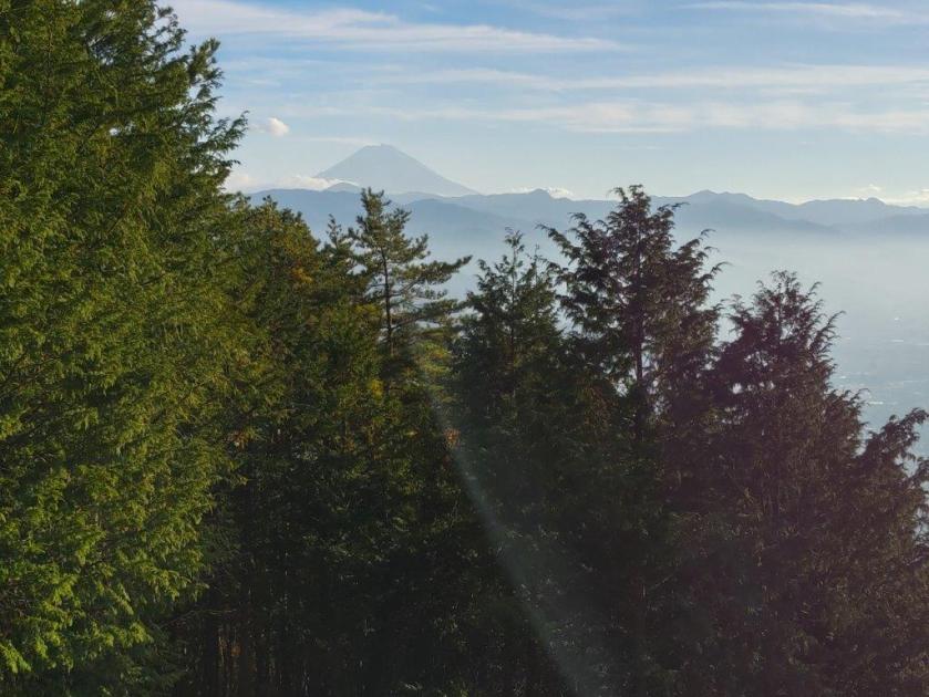
Hazy Fuji from the Top of Mt Jinba
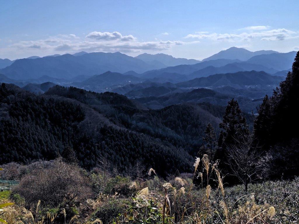
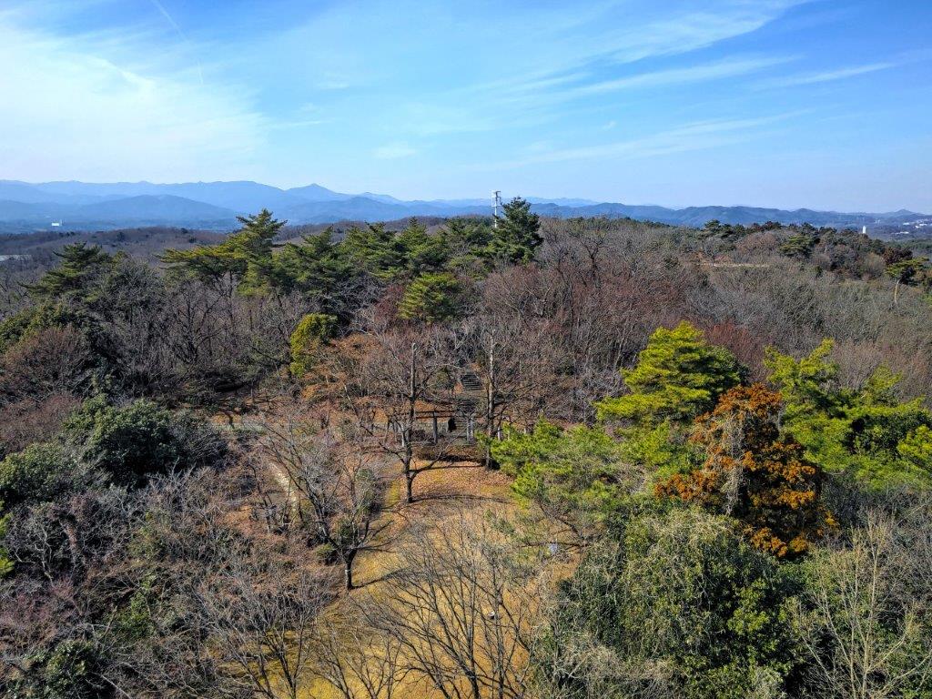
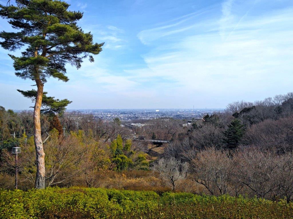
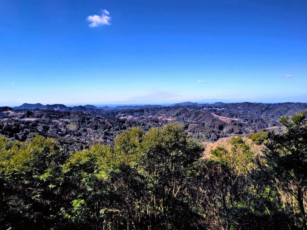
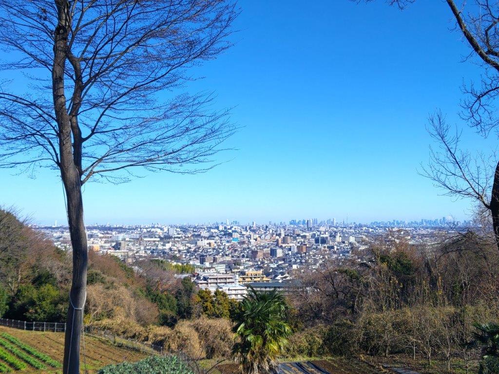
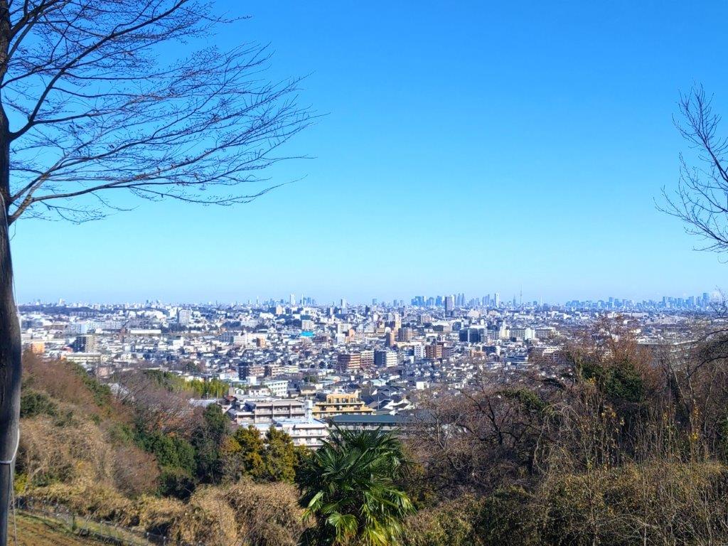
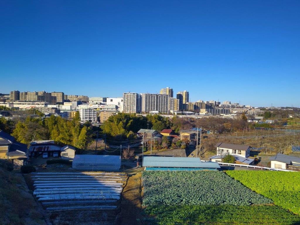
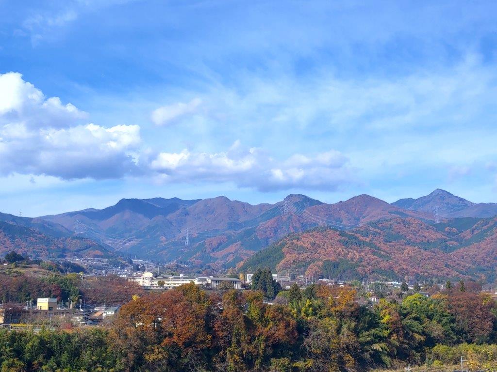
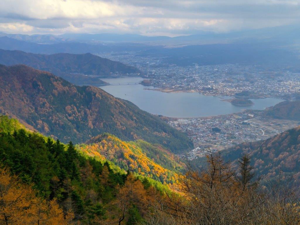
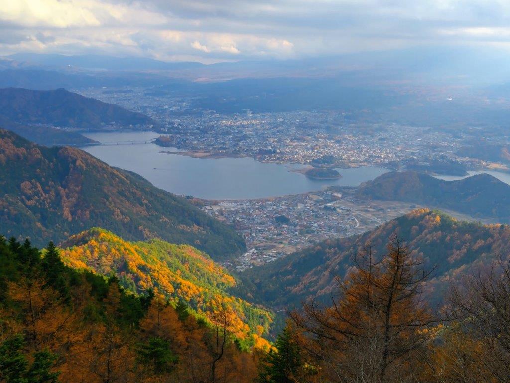
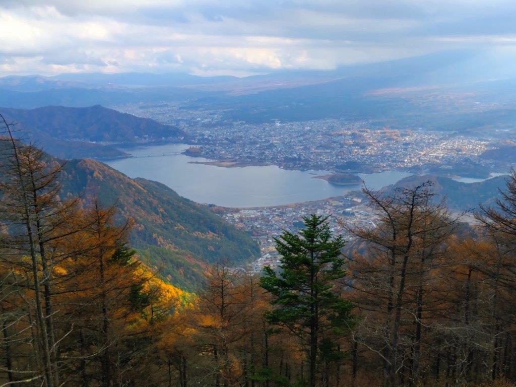
Mt Fuji was half-hidden by the midday haze due to temperatures topping 20°C in the valley below, but I was still able to admire its perfect snowcap in this season. Westwards, I could see the ridgeline extending towards Mt Shoto, looking very inviting on this fine day; to the north, I could see the Okutama mountains, including Mt Odake and Mt Gozen; on the east side, the Kanto Plain extended into the distance, the Tokyo skyscrapers barely visible. At 12:30, I set off for Meiou Pass, but soon turned right onto a smaller path, leaving the crowds behind. I was now following the Tochitani Ridge Route (栃谷尾根コース) down the mountain.
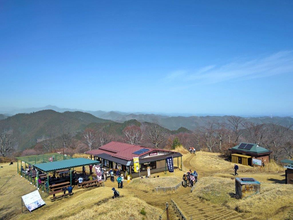
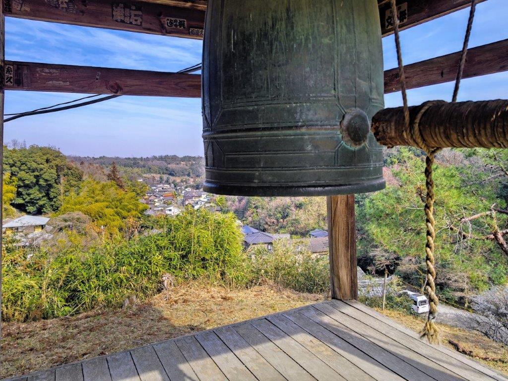
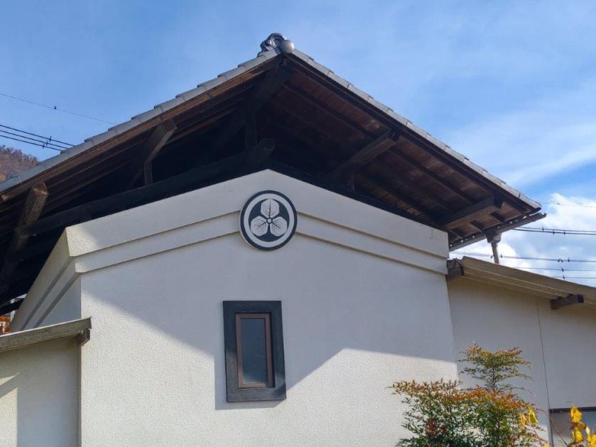
Red-roof Soba Shop near the Top of Mt Jinba
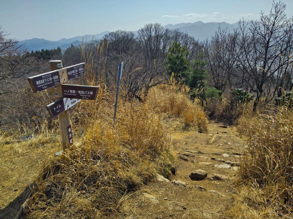
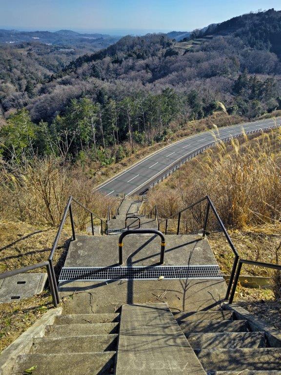
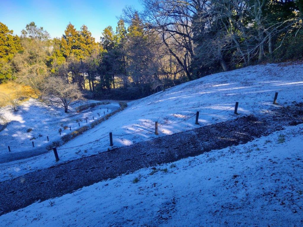
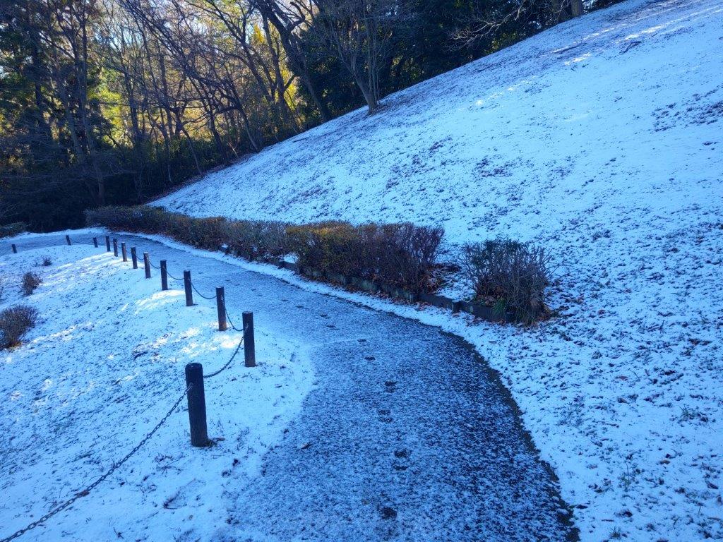
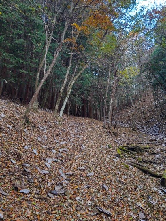
Trail for Meiou Pass
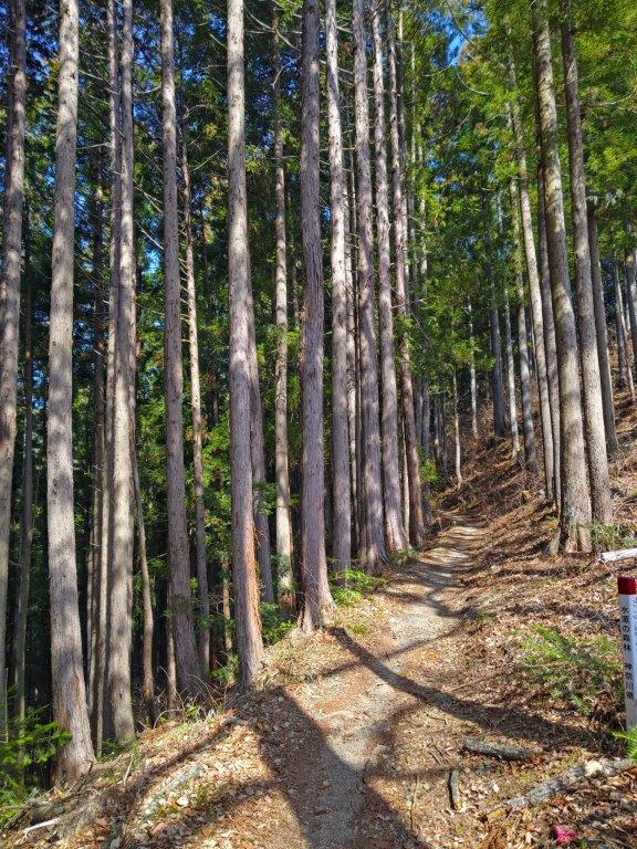
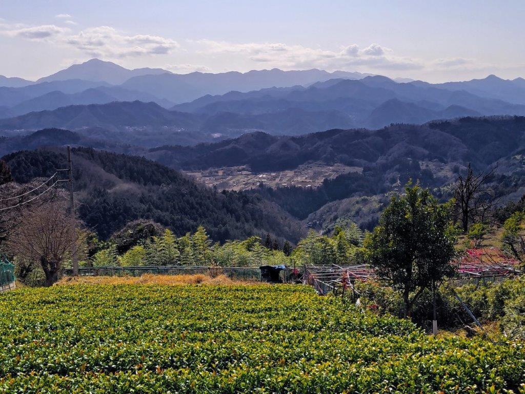
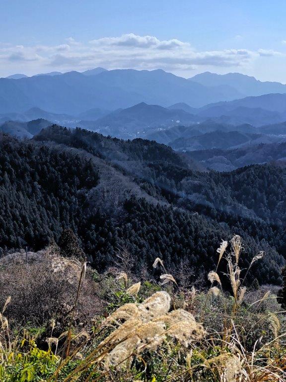
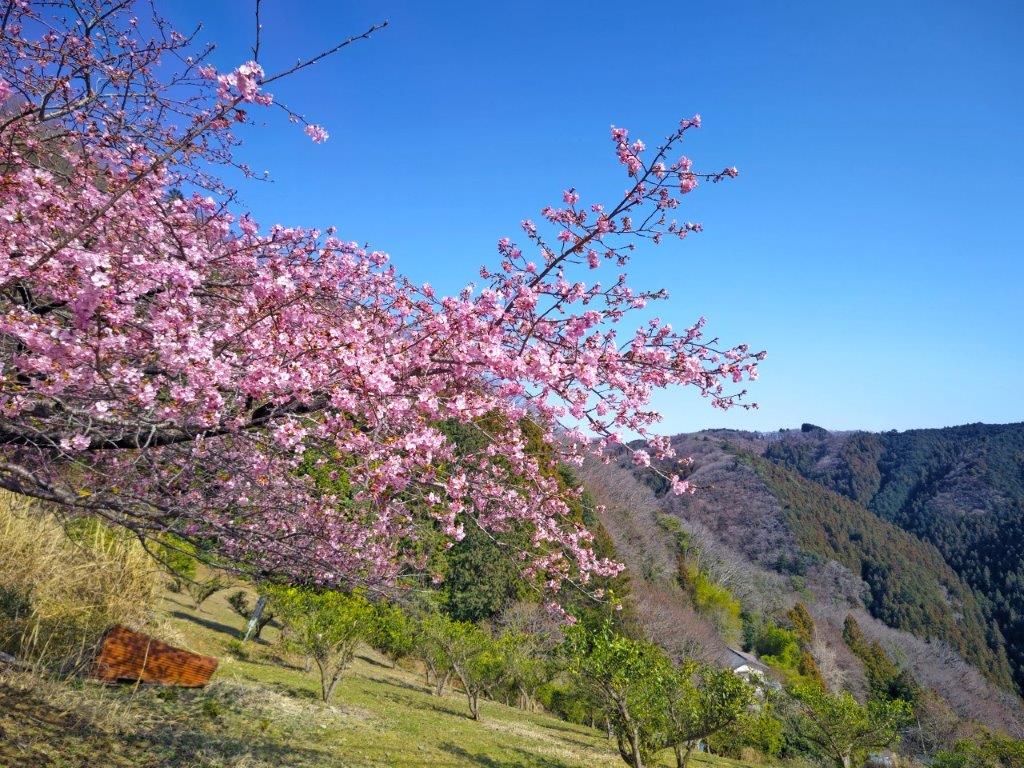
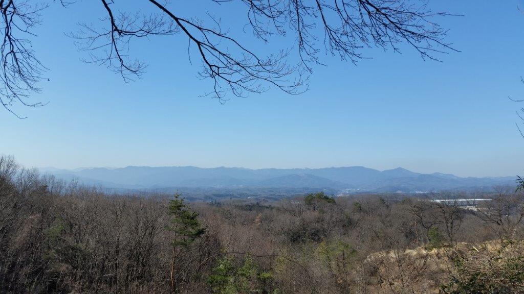
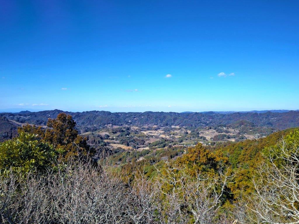
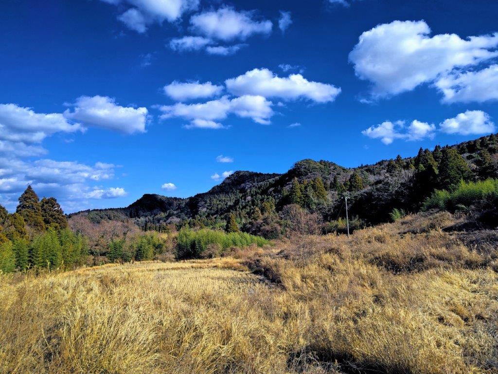
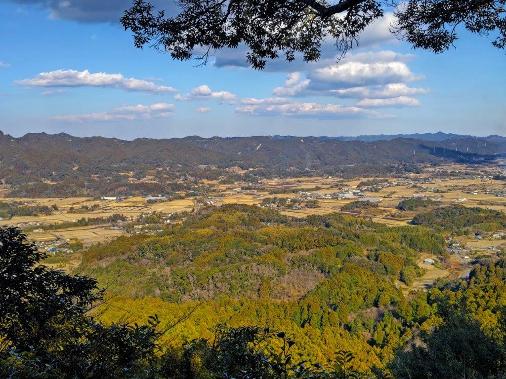
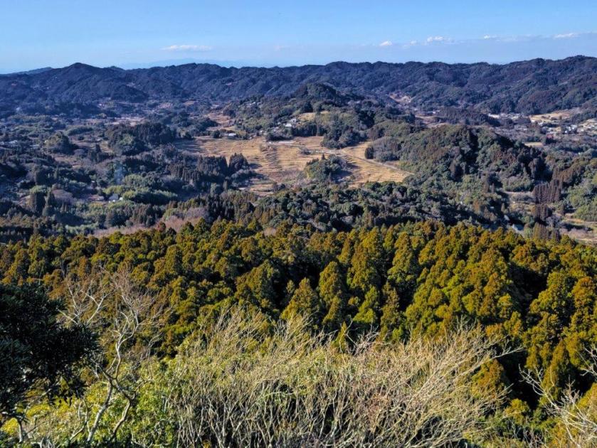
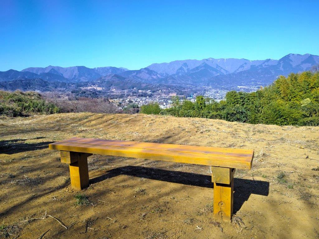
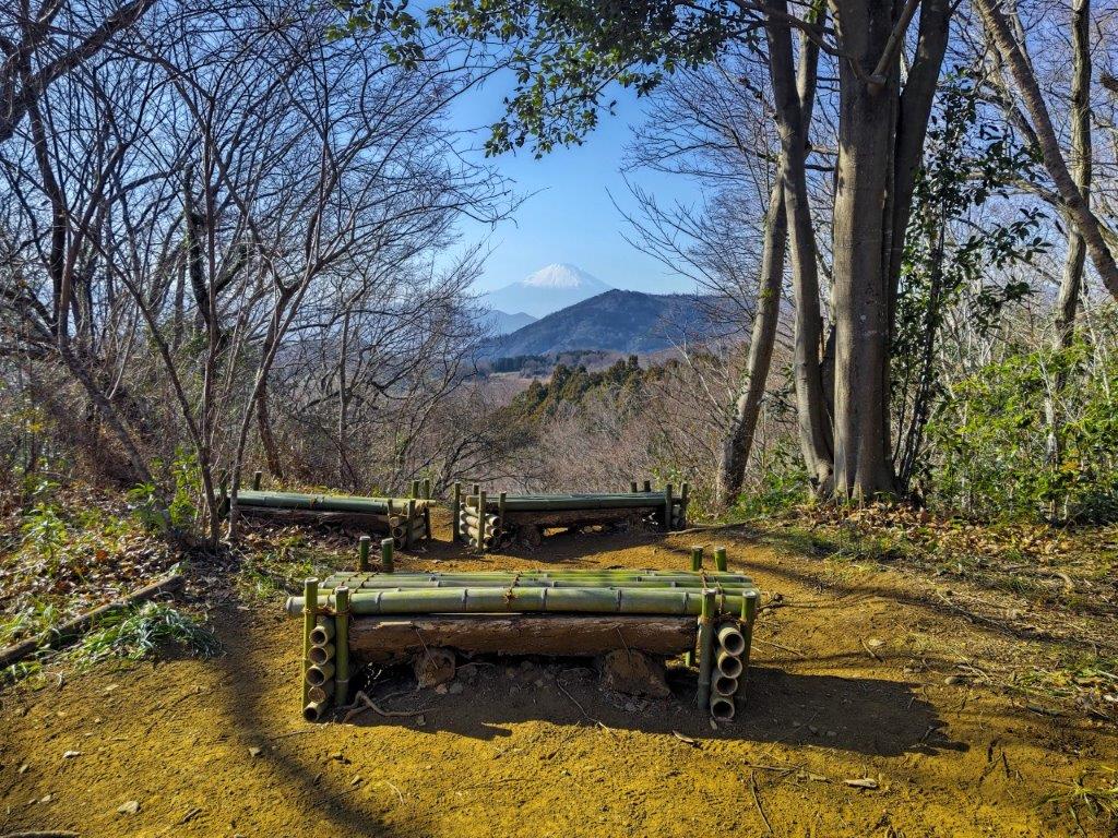
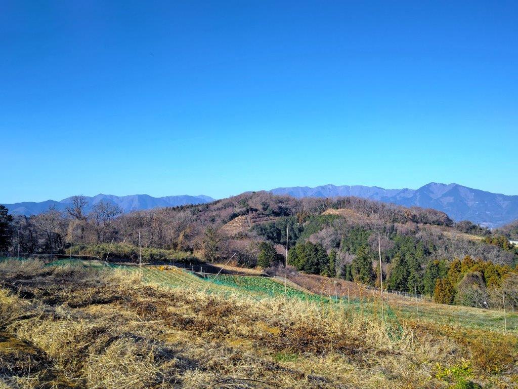
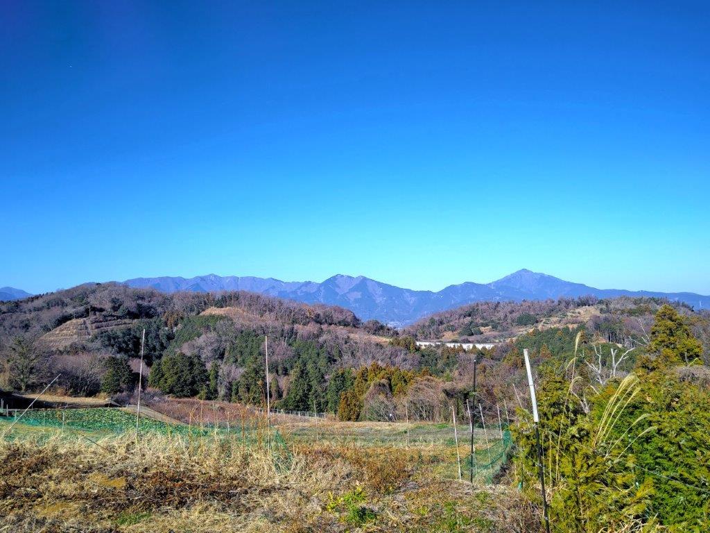
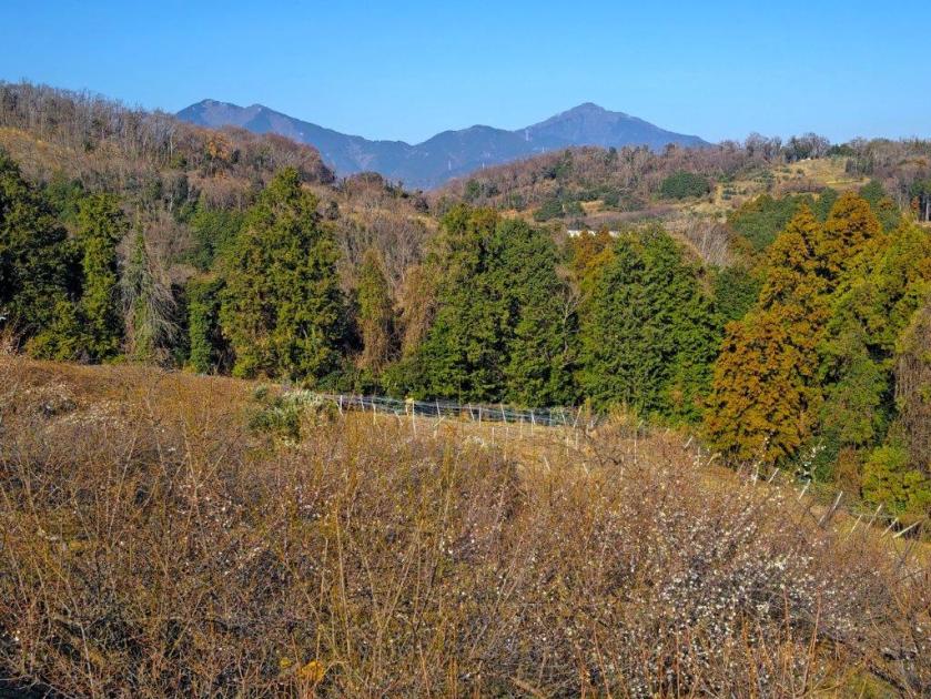
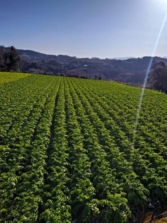
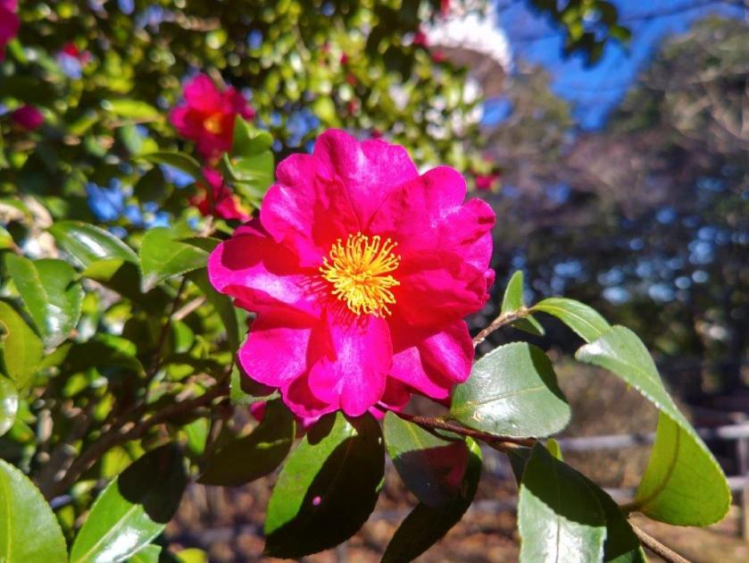
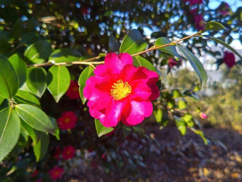
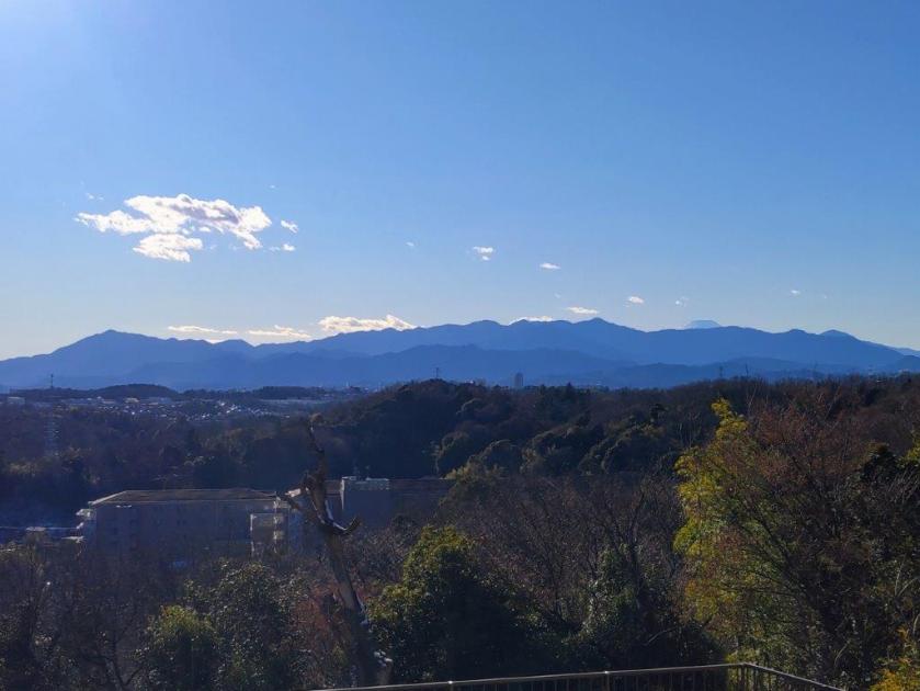
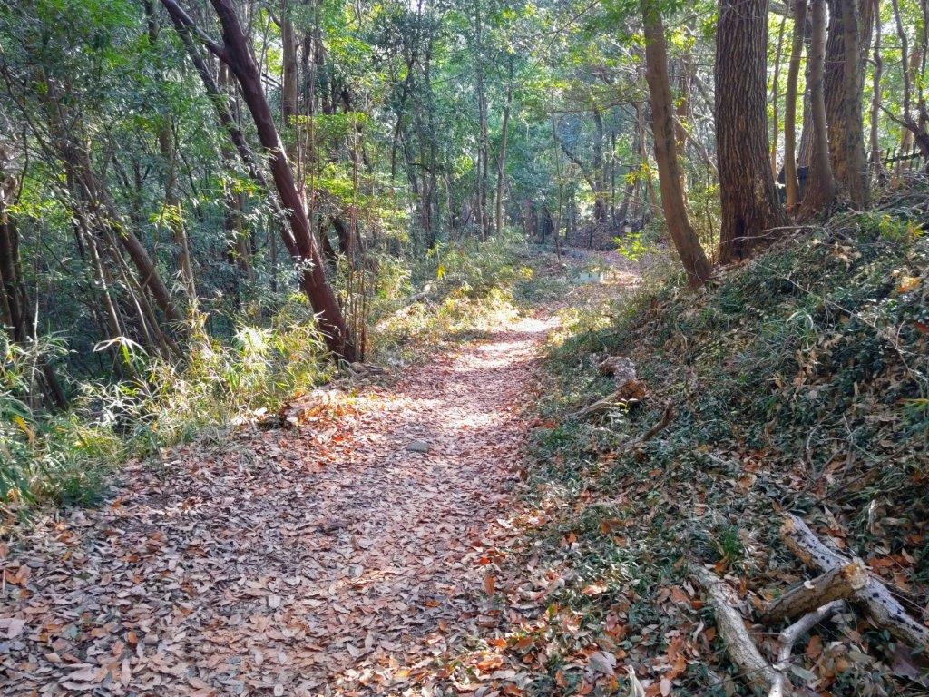
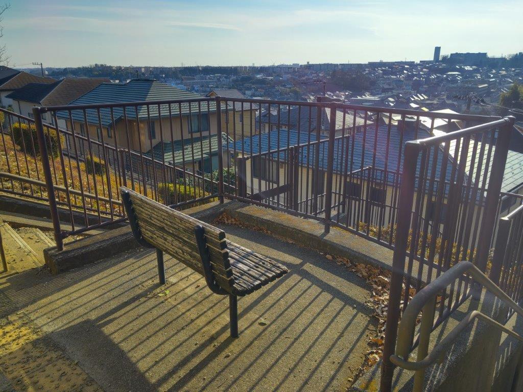
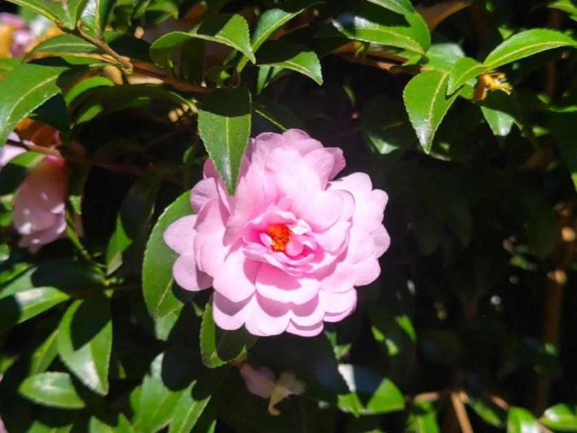
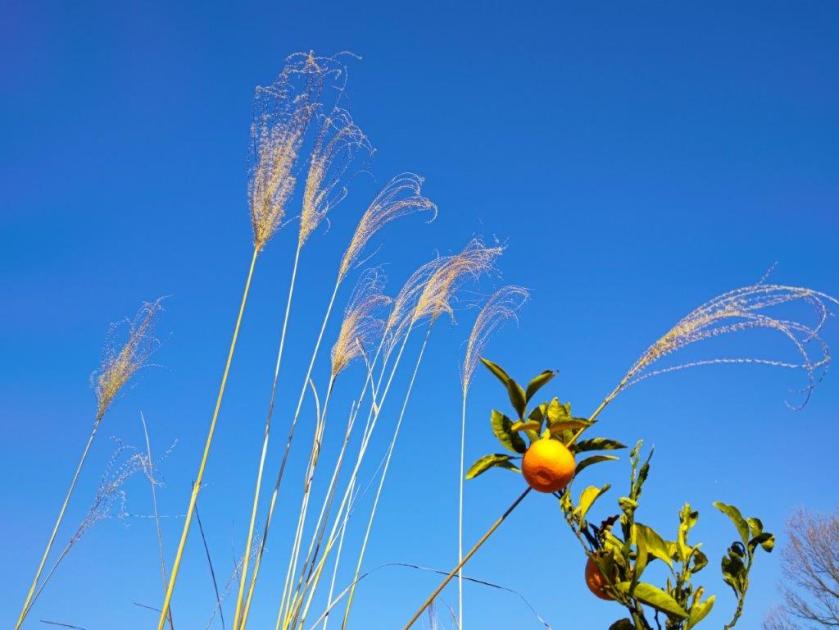
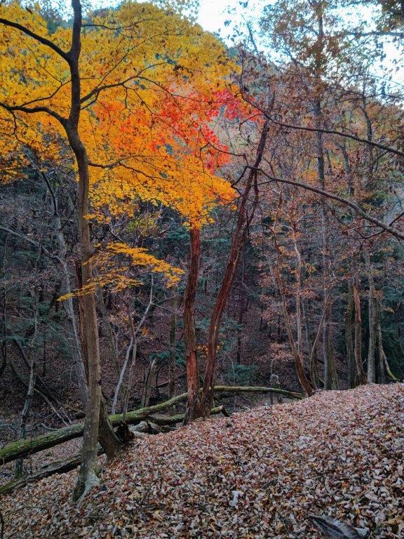
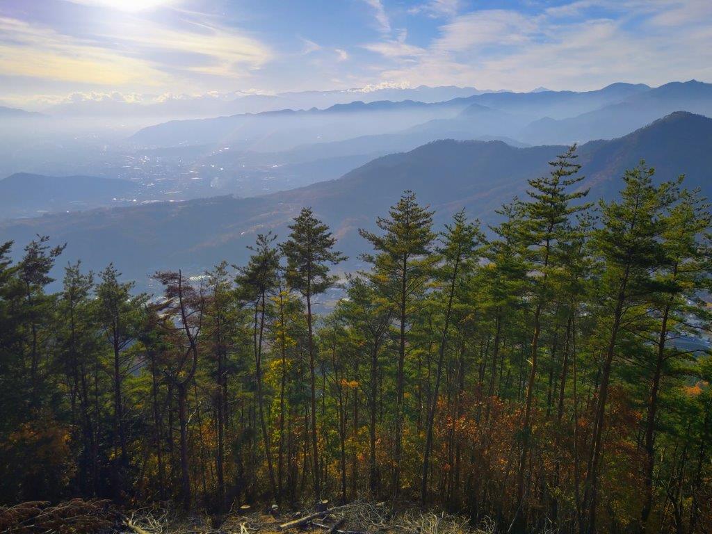
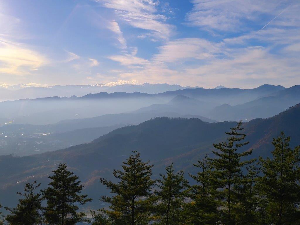
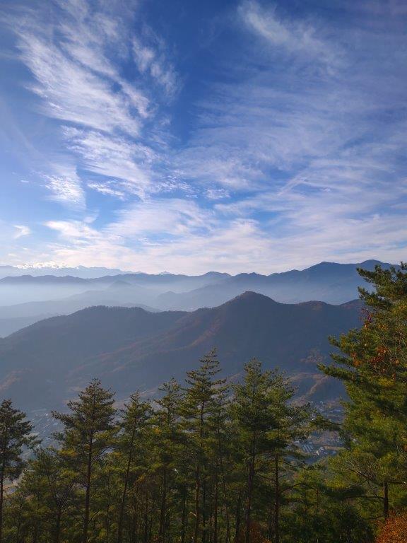
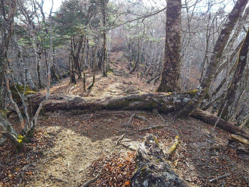
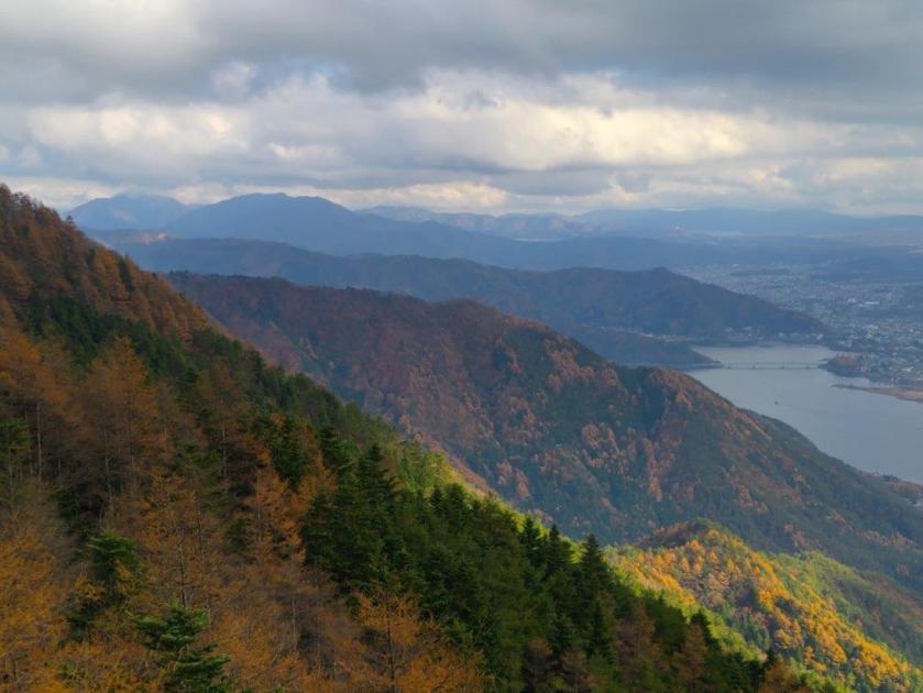
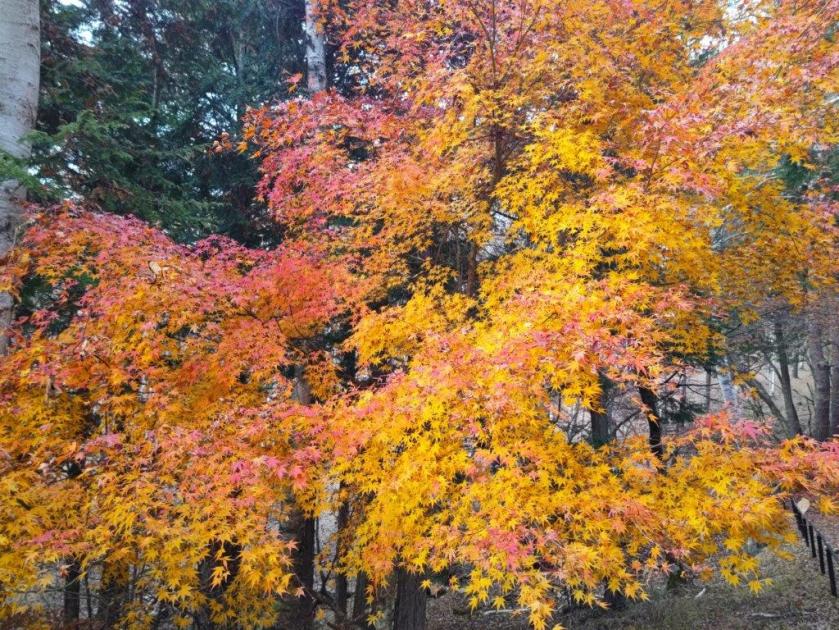
The trail descended steeply through cedars for a while before reaching a level section; beyond, the narrow trail descended more gently but remained inside the tall cedars, keeping me out of the afternoon sun but hiding most views. I passed few people on the way, allowing me to enjoy the solitude of the mountain. At a small Inari shrine, I made a sharp left turn. I soon emerged from the forest above some tea fields and had a wide view of the Tanzawa mountains to the south. I was against the sun, but could distinguish Mt Oyama, Mt Tanzawa, Mt Hiru, Mt Hinokiboramaru and Mt Omuro; in the foreground, I could also see the Doshi mountains, the Hizure Alps and Mt Sekiro. On the left side of the trail was a Kawazu-zakura (河津桜), an early flowering cherry blossom tree, in full bloom, its pink petals swaying in the breeze.
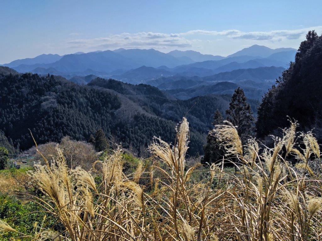
View of the Tanzawa Mountains on the Tochitani Trail
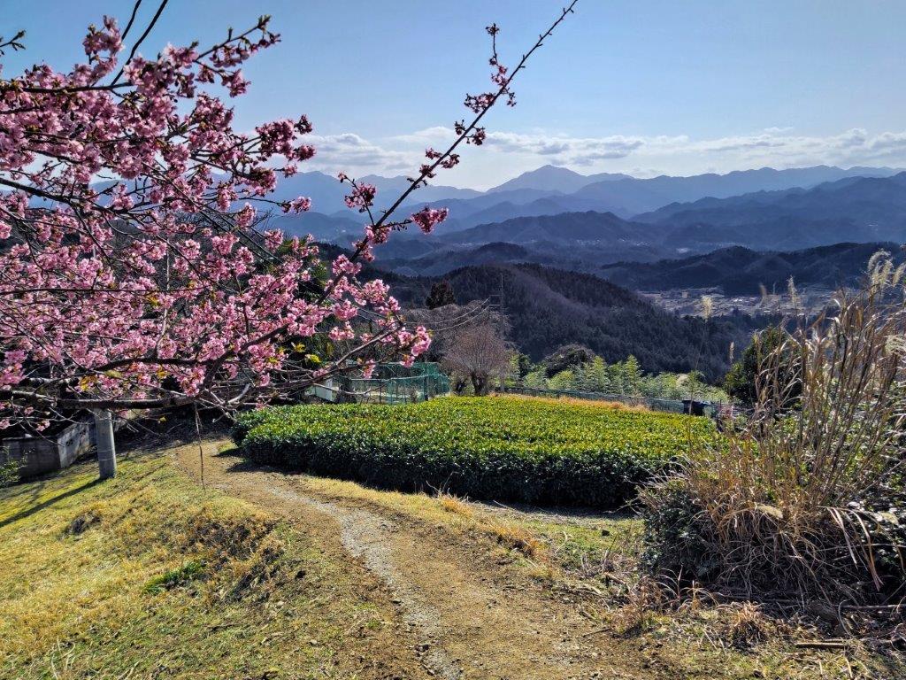
Cherry Blossoms and Tea Fields
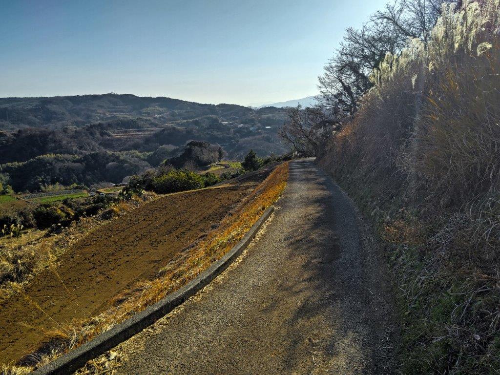
I took my time to enjoy the sweeping view before moving on, since it was only 2pm. Below the tea fields, the trail ended at a road which I followed through the Sawai district, the frequent signposts guiding me in the right direction. At a bend in the road, a sign directed me to a path heading directly down the mountainside, a shortcut to the bottom of the valley. Upon reaching another road, I turned right, and after a short while, arrived at Jinya Onsen (陣谷温泉), a friendly hot spring inn allowing day trippers. I enjoyed a leisurely soak in the indoor hinoki bathtub, large windows letting in generous amounts of sunshine.
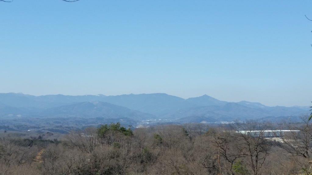
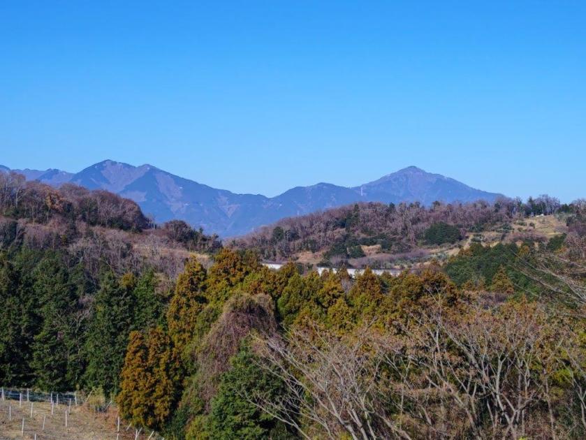
Mt Omura (left) & the Doshi mountains (center back)
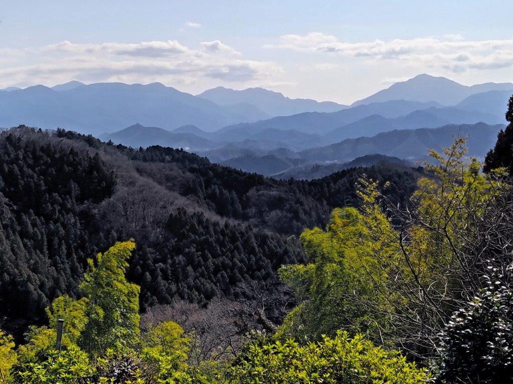
Mt Hiru (left), Mt Hinokiboramaru (center) & Mt Omuro (right)
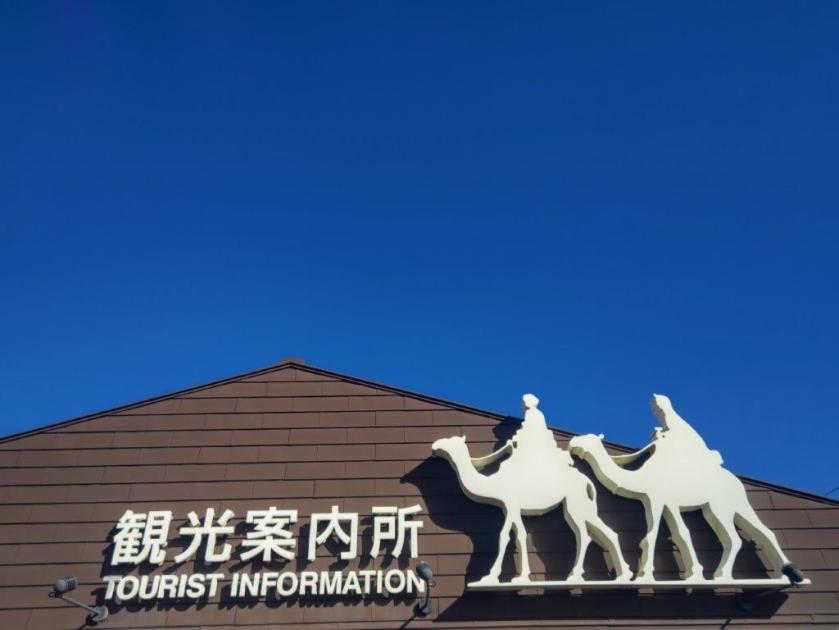
I was glad I finally had a chance to visit this hidden hot spring close to Tokyo. In the future I hope to hike the last remaining route on Mt Jinba, the Narako Ridge route, and this would allow me to visit Jinya Onsen again. Feeling refreshed, I set off shortly after 3pm on a gently descending road, alongside the Tochitani River. At the Sawai Post office, I turned left onto a main road, and soon arrived at the Jinba Tozanguchi (陣馬登山口) bus stop where it was a short wait for the bus back to Fujino station. After checking out the Fujino Tourist Information Center and collecting some local maps for future hikes, I boarded the Chuo line for the one-hour trip back to Shinjuku station.
Watch a Video of the Hike
See More Pictures of the Hike


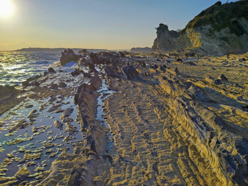
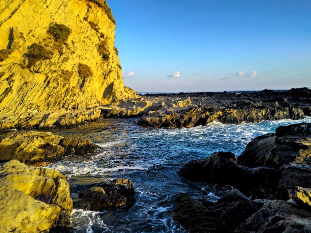
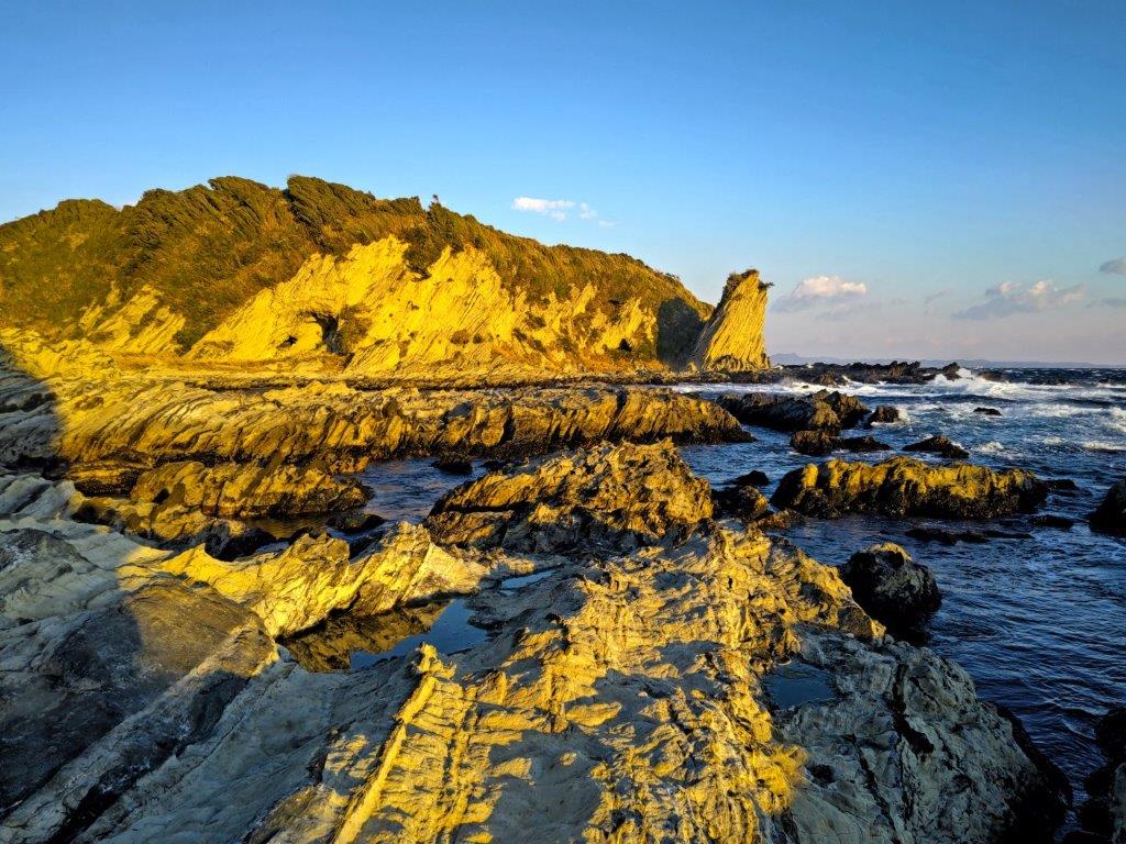
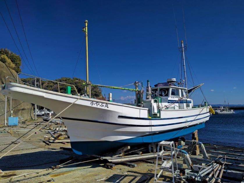
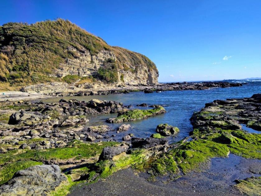
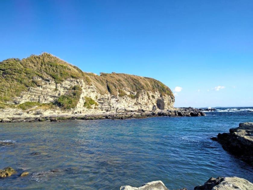
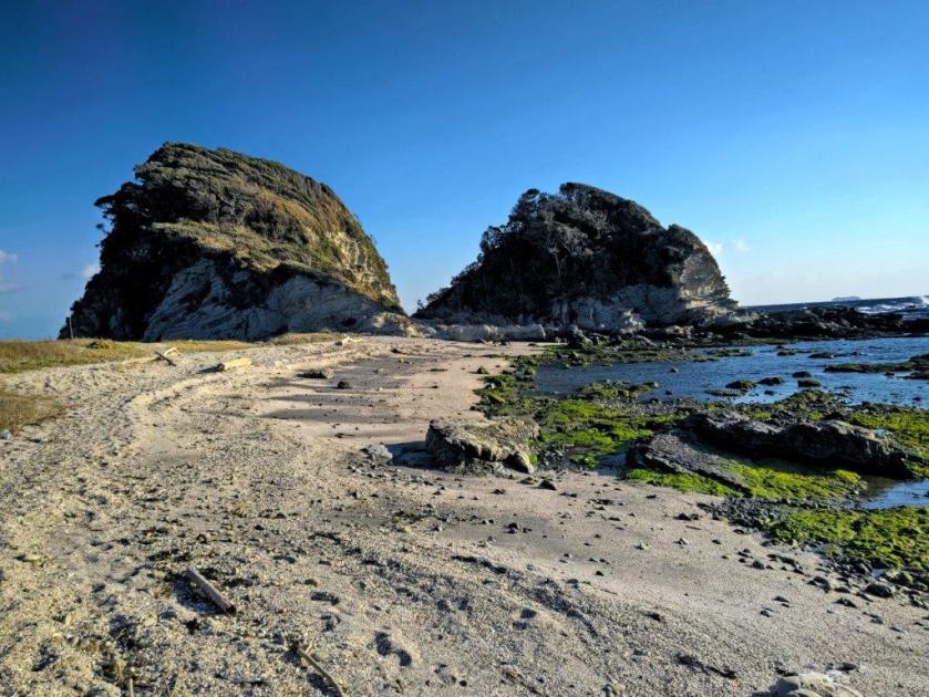
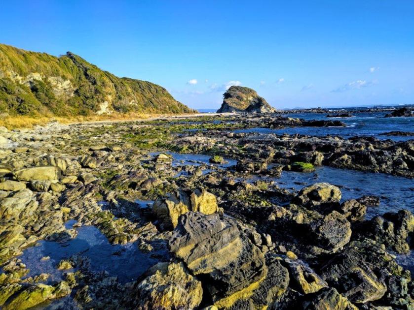
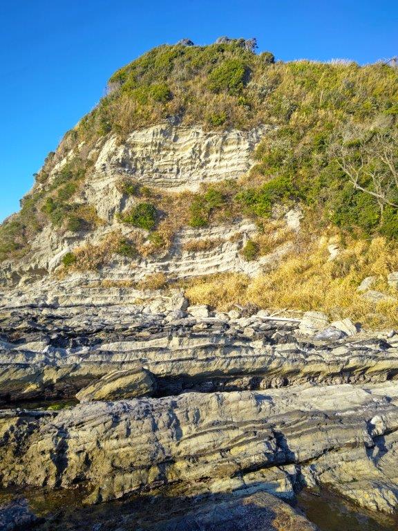

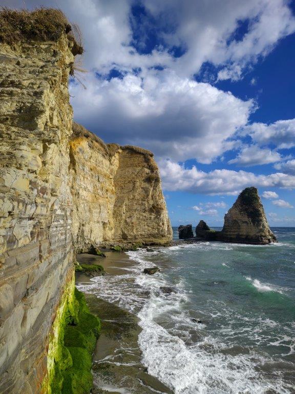
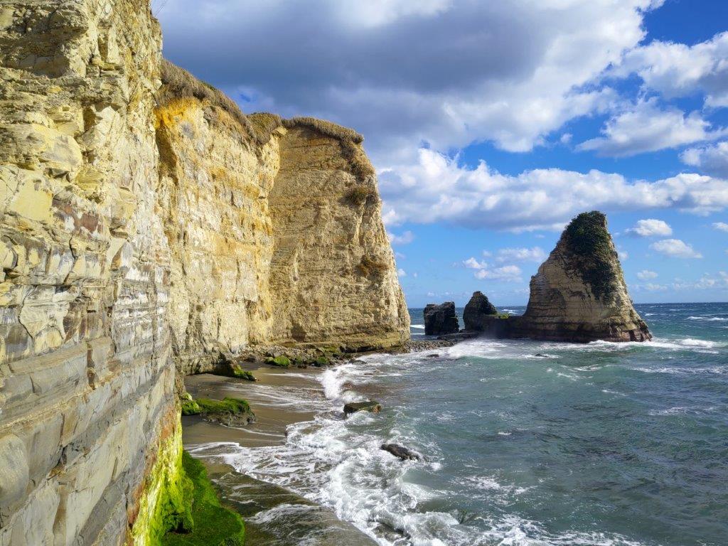
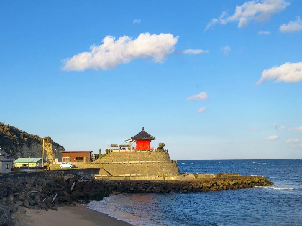
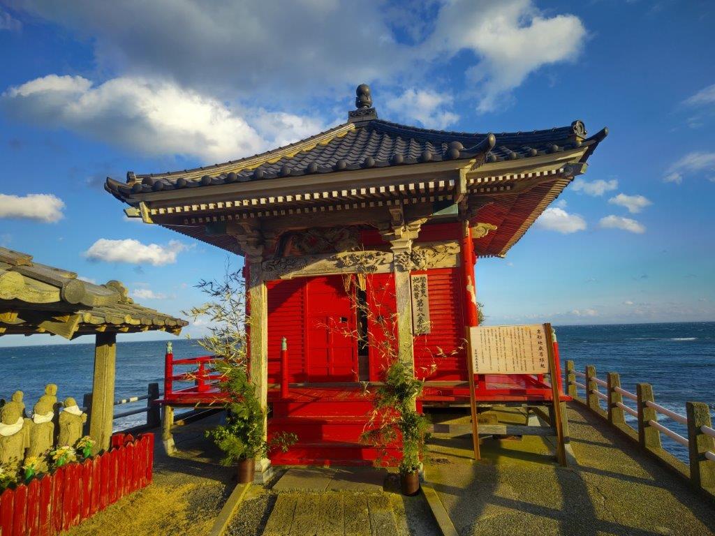
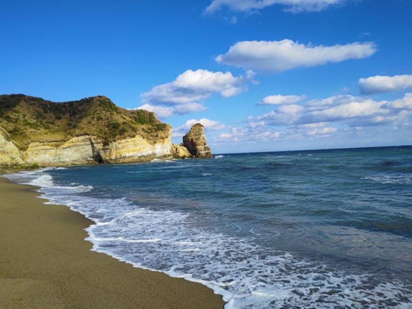
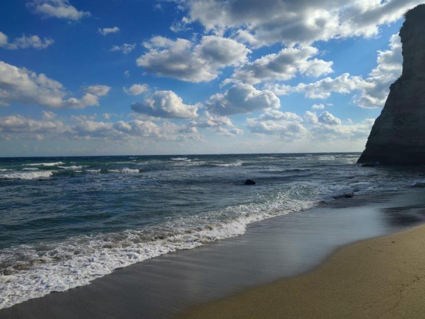
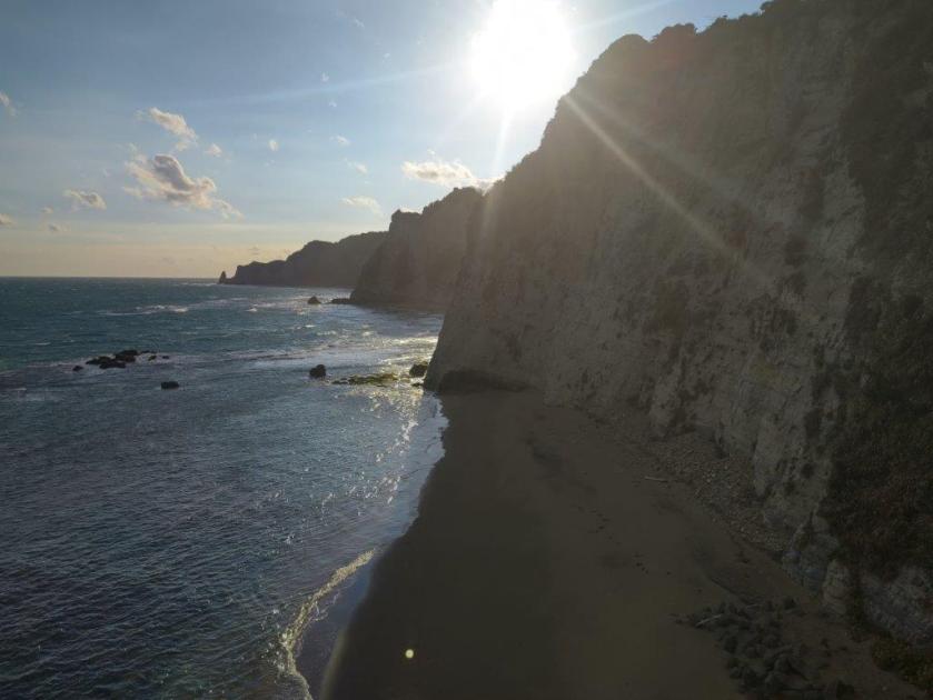
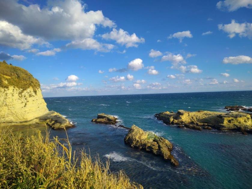
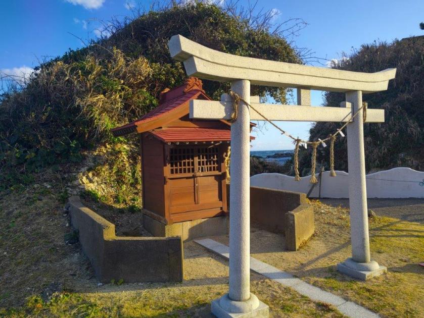
![Onjuku Coast Walking Path, Onjuku Town and Isumi City, Chiba Prefecture, Saturday, January 10, 2026 [Highest Point 62m]](https://hikingtokyo.com/wp-content/uploads/2026/01/26.jpg?w=1024)


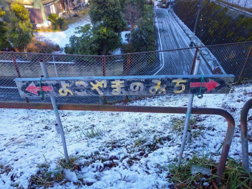
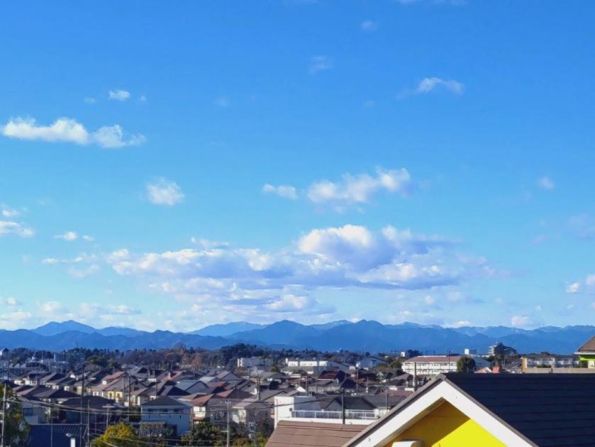
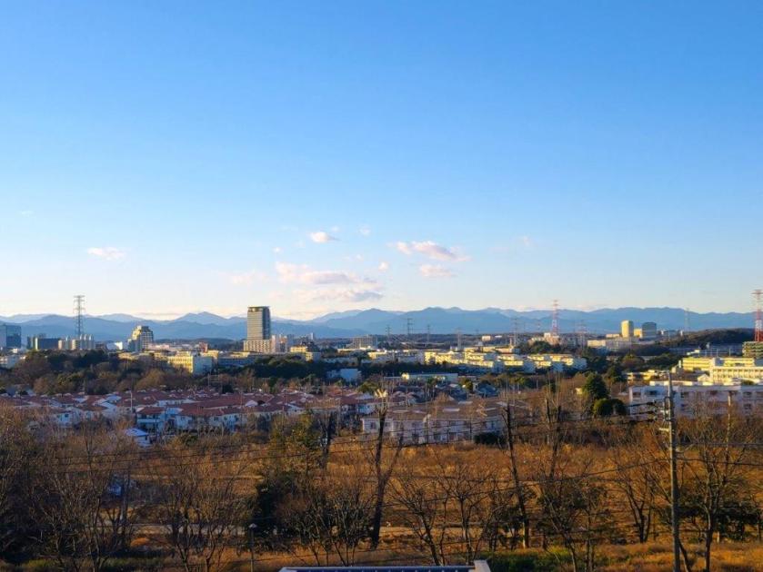
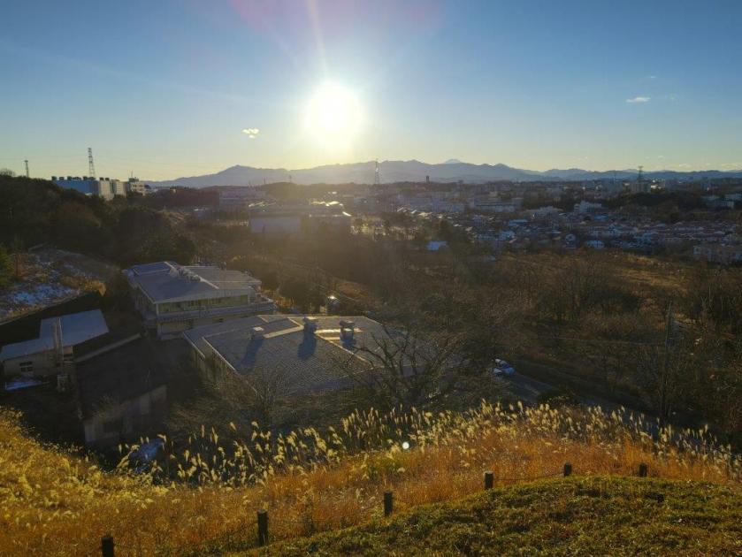
![Yokoyama no Michi, Tama & Kawasaki Cities, Tokyo & Kanagawa Prefectures, Saturday, January 3, 2026 [Highest Point 168m]](https://hikingtokyo.com/wp-content/uploads/2026/01/yokoyama.jpg?w=1024)


You must be logged in to post a comment.