

I had a chance to go hiking on a weekday, so for once, I wanted to visit a popular mountain. I decided to redo one of the peaks on Mt Haruna, first climbed during Golden Week 2016, via a different route. Back then, it was a short roundtrip off the main trail between Mt Soma, the 2nd highest peak, and Ikaho Hot Spring. This time, I would start from Mizusawa-dera Temple, on the east side of the volcano, and finish again at Ikaho Onsen, since I could get a hot spring bath before heading back. I would take the shinkansen to Takasaki station, and there catch a bus to the temple, my first time to use this bus line. For the return, I could take a bus to Shibukawa station, from where I could catch the Kusatsu Limited Express for Ueno, also my first time to return this way. The weather was supposed to be sunny with some clouds, warm but not too hot, typical for this time of the year. I was looking forward to my first visit to Mt Haruna in nearly 4 years, and what would probably be my last hike before the start of the rainy season.
Hiking on Mt Haruna 榛名山
Read this Blog Post on Hiking Around Tokyo

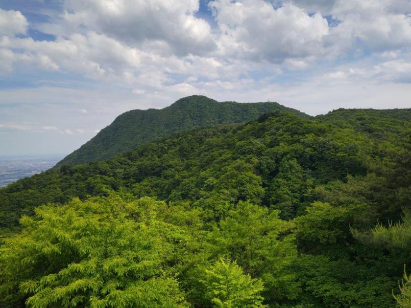
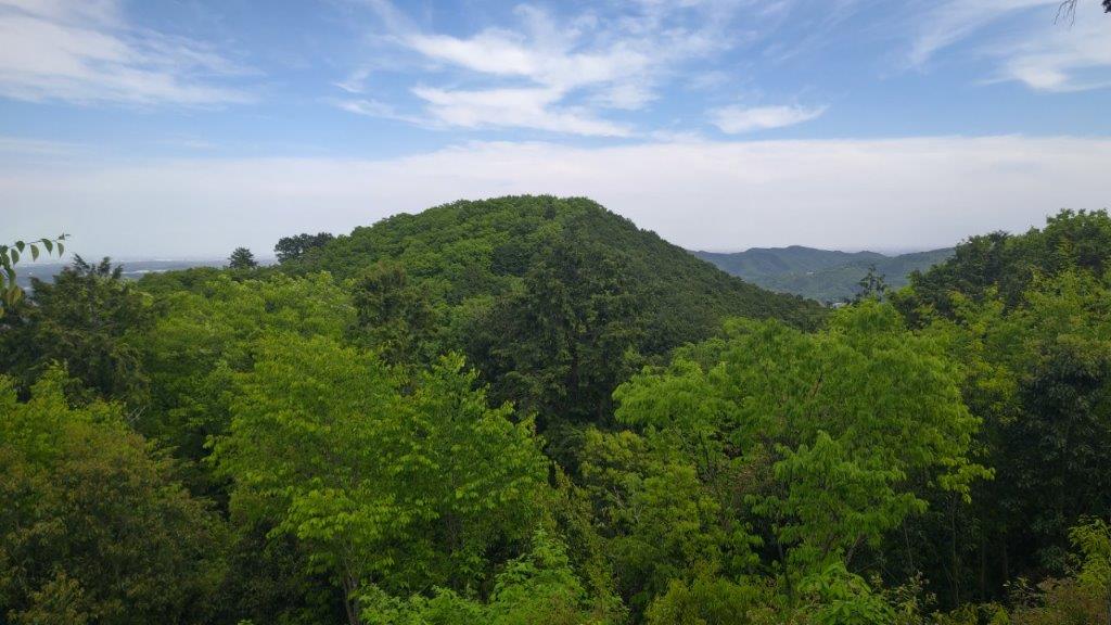
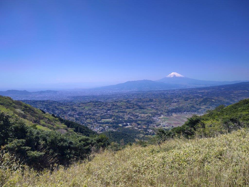
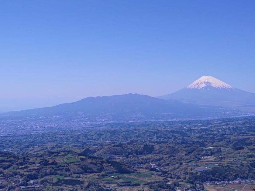
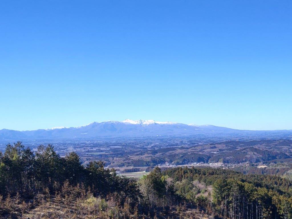
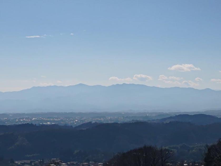
View of Mt Komochi (left) and Mt Akagi (right) from near the Summit

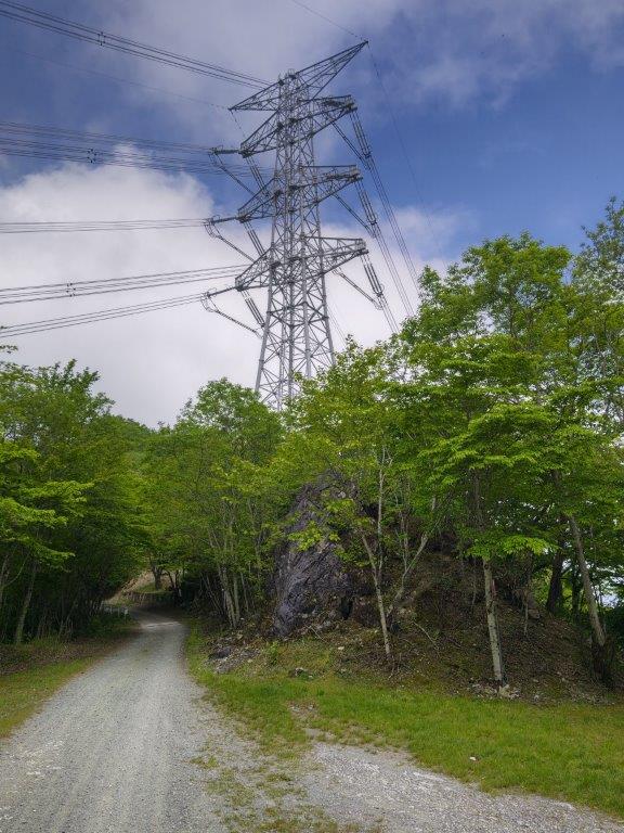
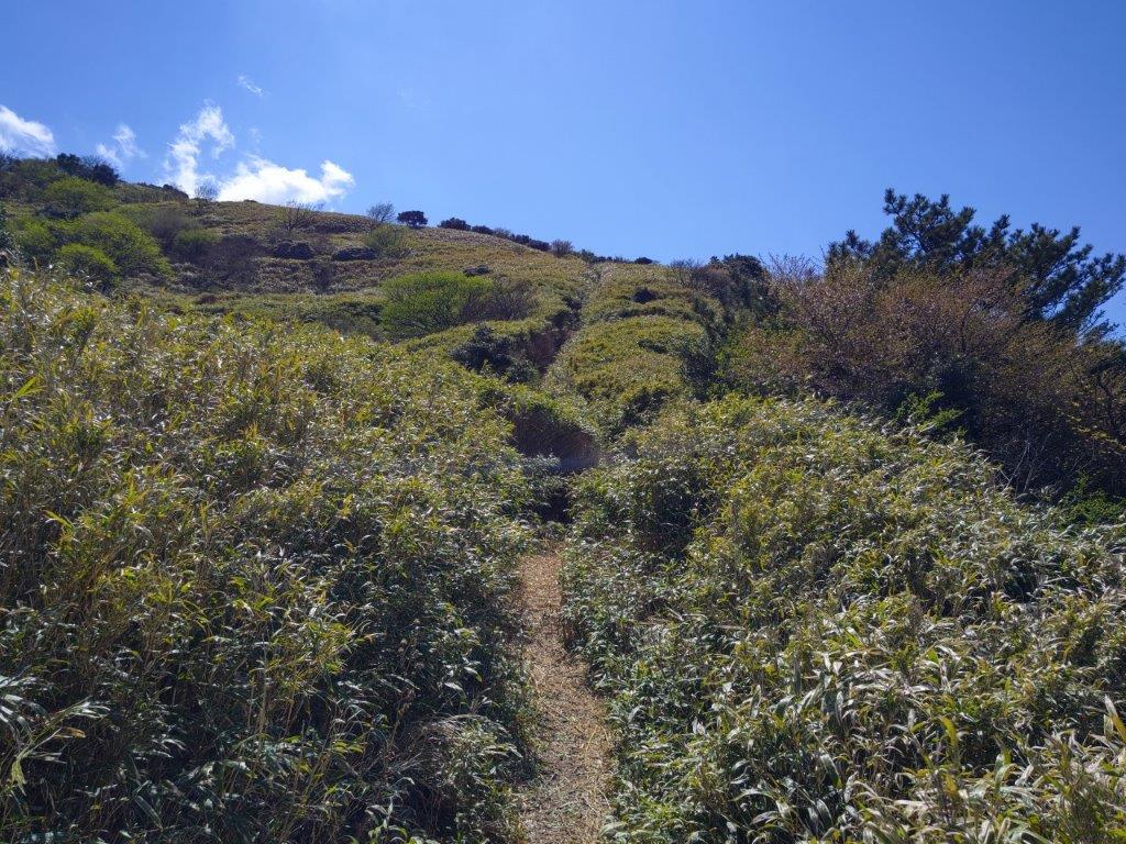
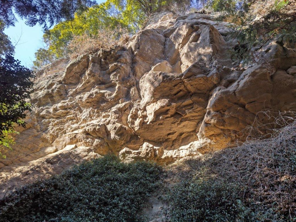
Side view of the Steep climb up Mt Mizusawa
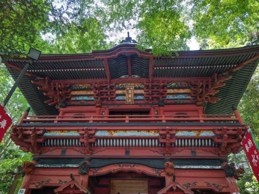
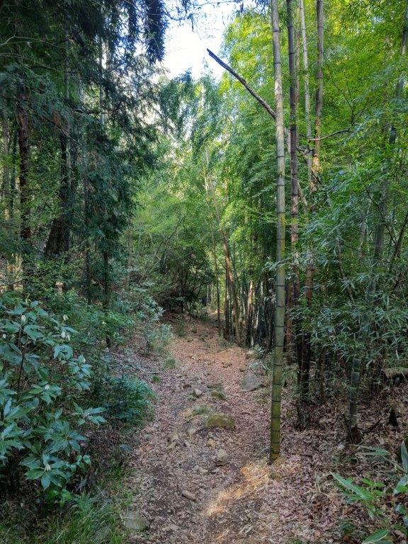
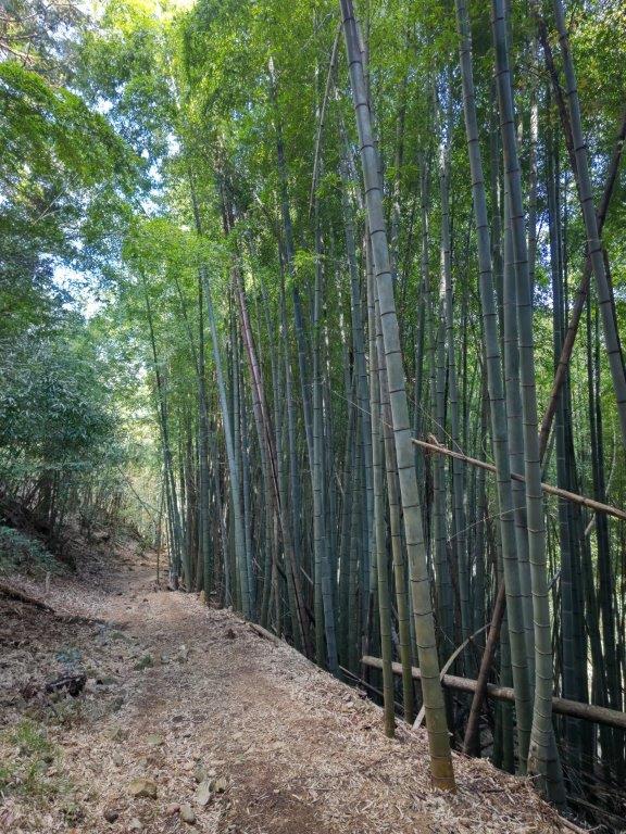
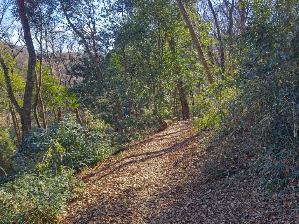
It was already very warm as I got off the nearly empty bus at 10am, after a one hour ride from Takasaki. I quickly walked past some Udon restaurants and up a steep staircase. I was impressed by the massive Buddhist gate leading to the 1300 year-old Mizusawa-dera 水沢寺, quite busy with sightseers despite the mid-morning heat. I sat on a bench next to a ancient cedar and got ready for my hike. At 10h30, I ducked under a small red Shinto gate and climbed another steep staircase, as chanting from some Buddhist ceremony drifted up from below.


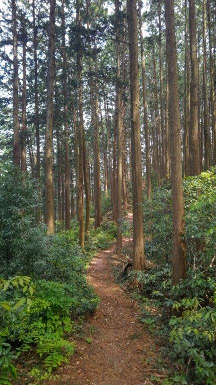
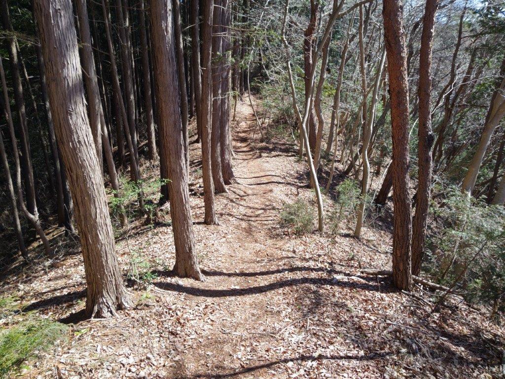
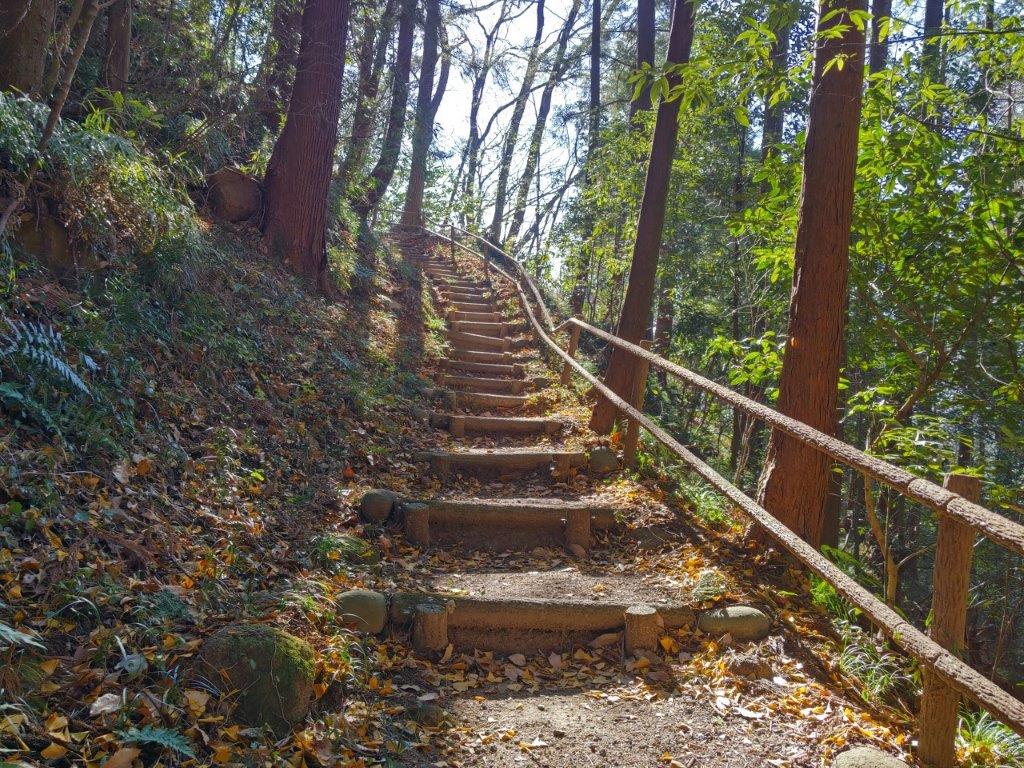
Walking under Towering Cedars (left) Climbing Log Steps (right)
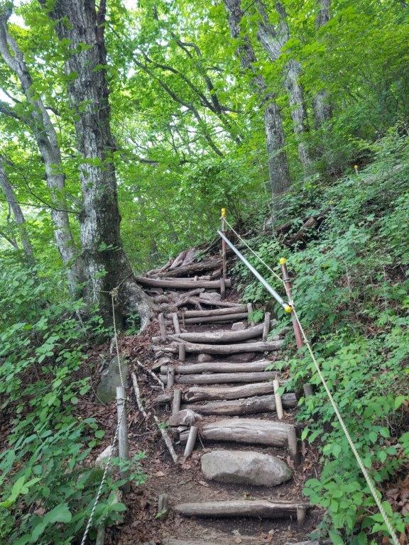

Steps Difficulty Level 2 (left) Steps Difficulty Level 3 (right)
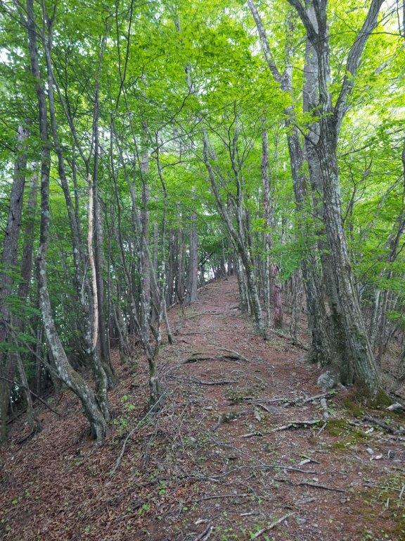
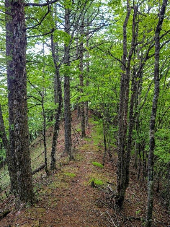
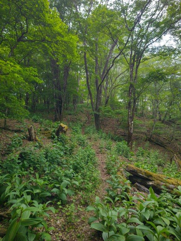
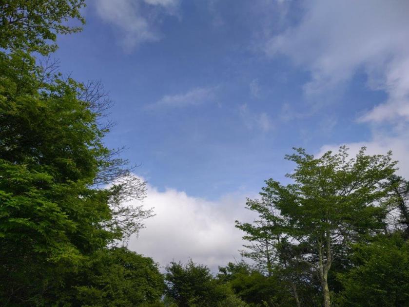
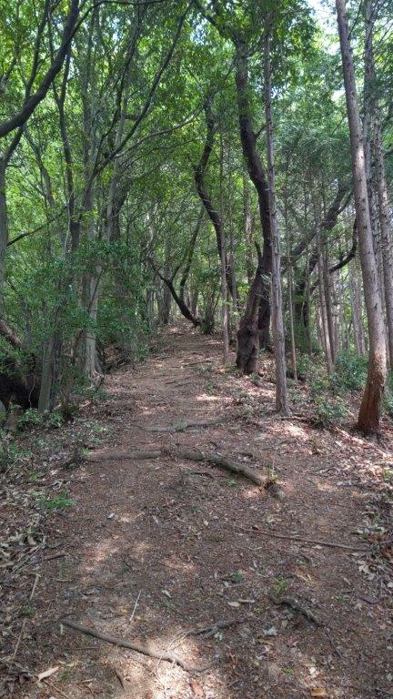
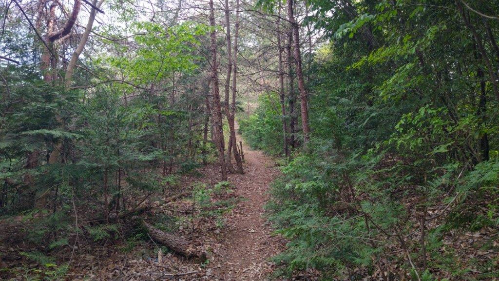
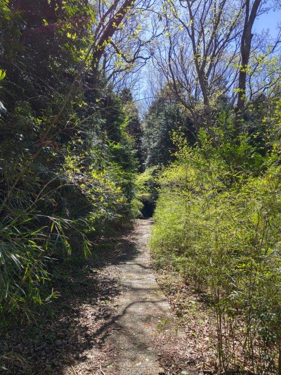
I followed a path in the shade of towering cedars before finally reaching the start of the trail. At first the logs steps were easy to climb, but they gradually got more chaotic as I reached the steepest part of the climb. However, it never got so tough that I couldn’t enjoy the green spring forest. Just past 11h30, I reached the first viewpoint of the day, on the east side, near a row of small Buddhist statues.

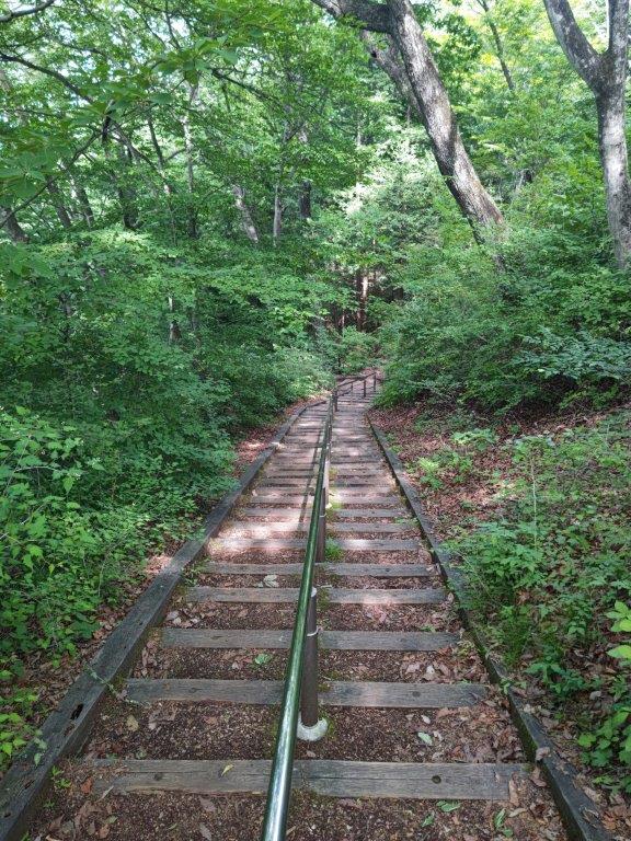
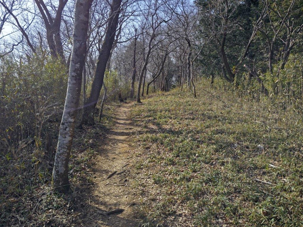
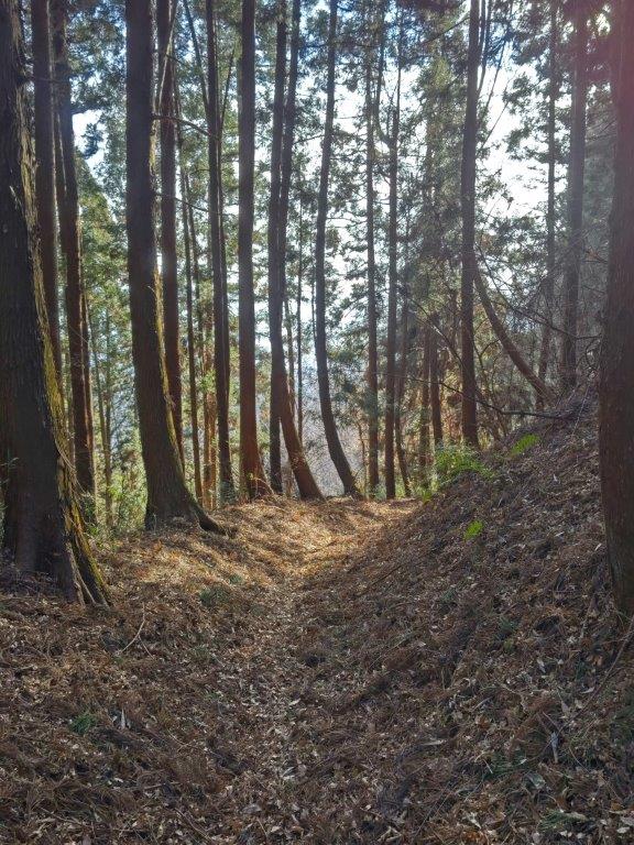
Transition between Levels 1 and 2

Viewpoint near the Buddhist Statues
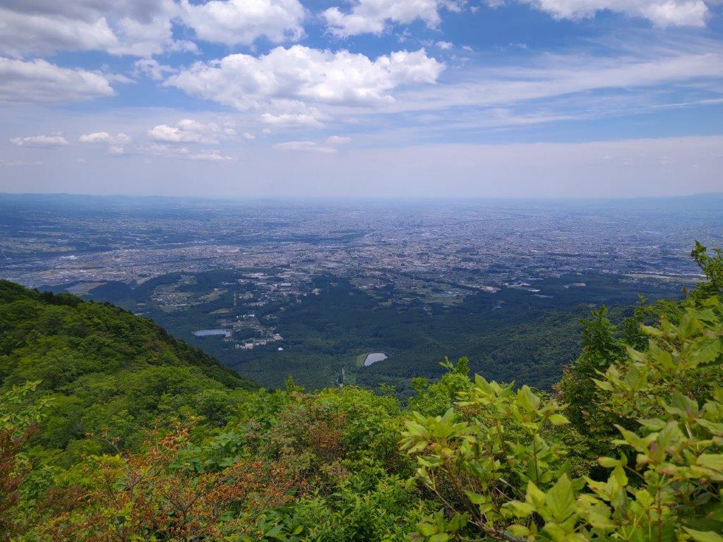
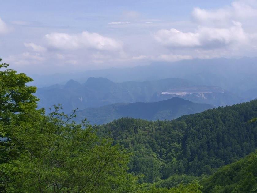
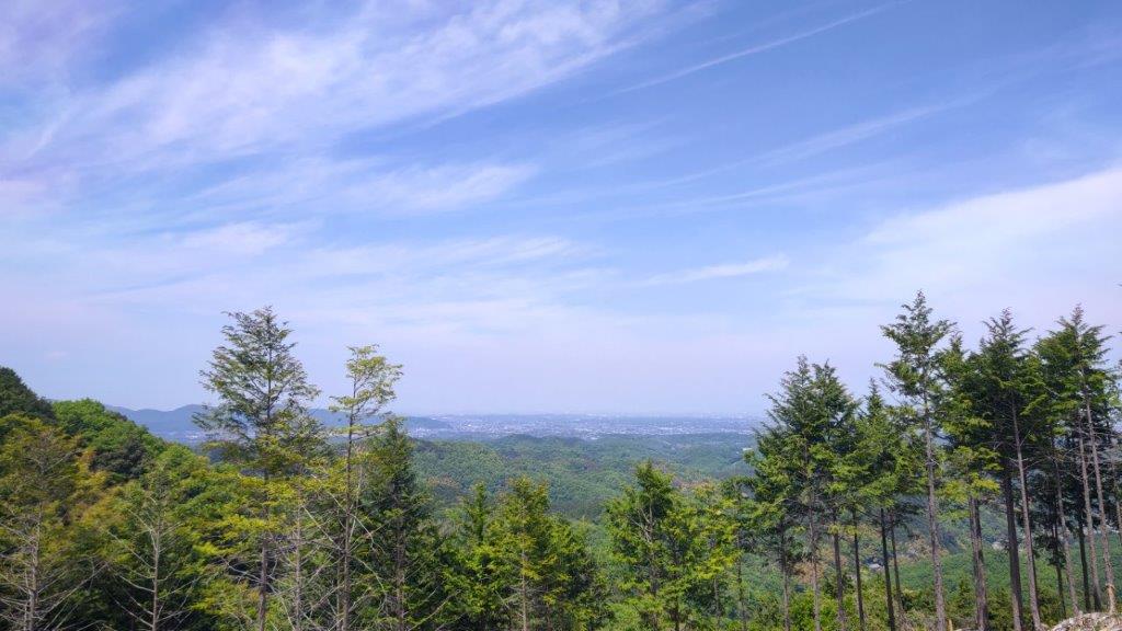
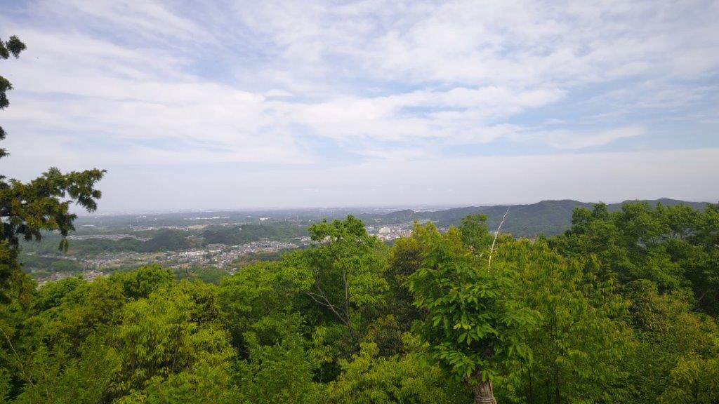
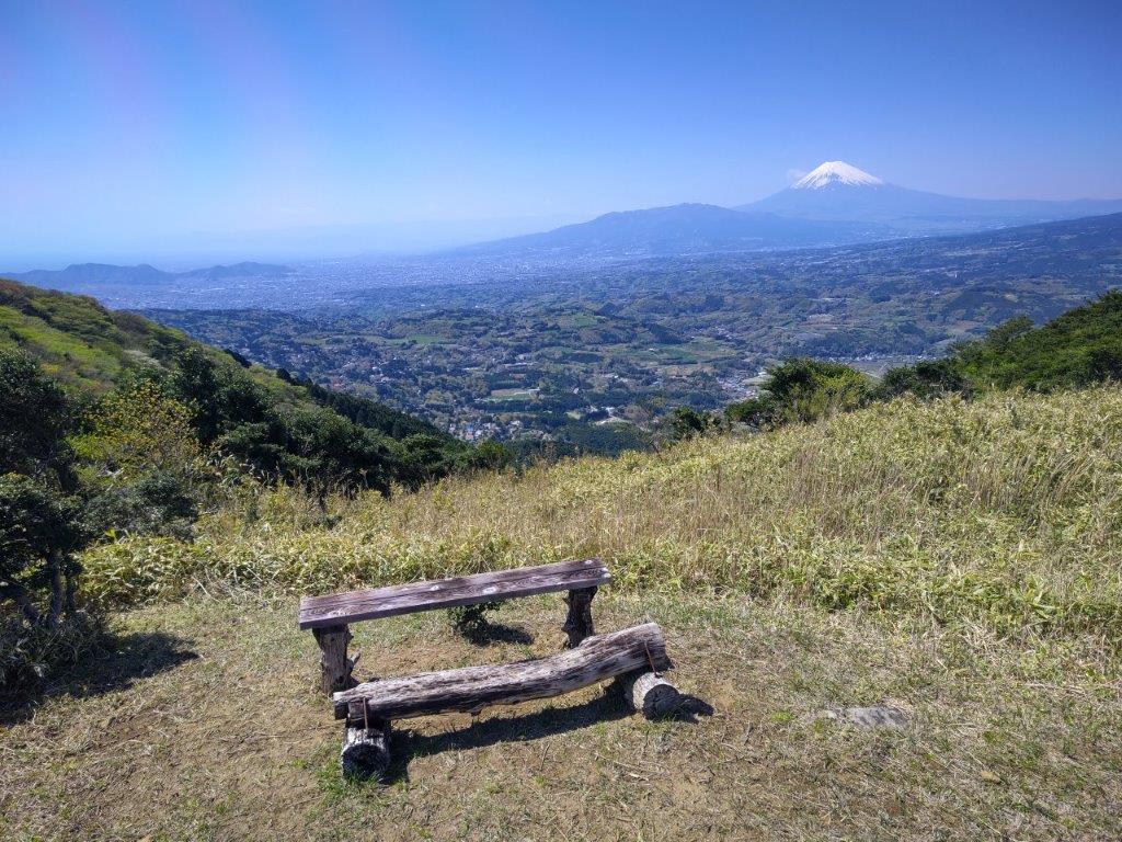
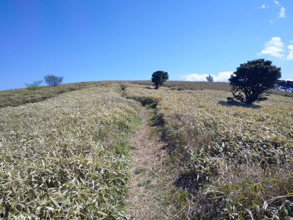
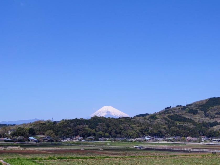
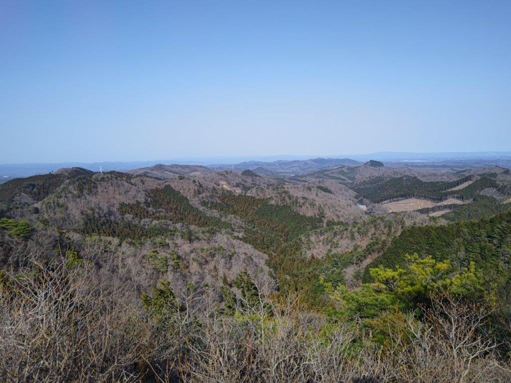
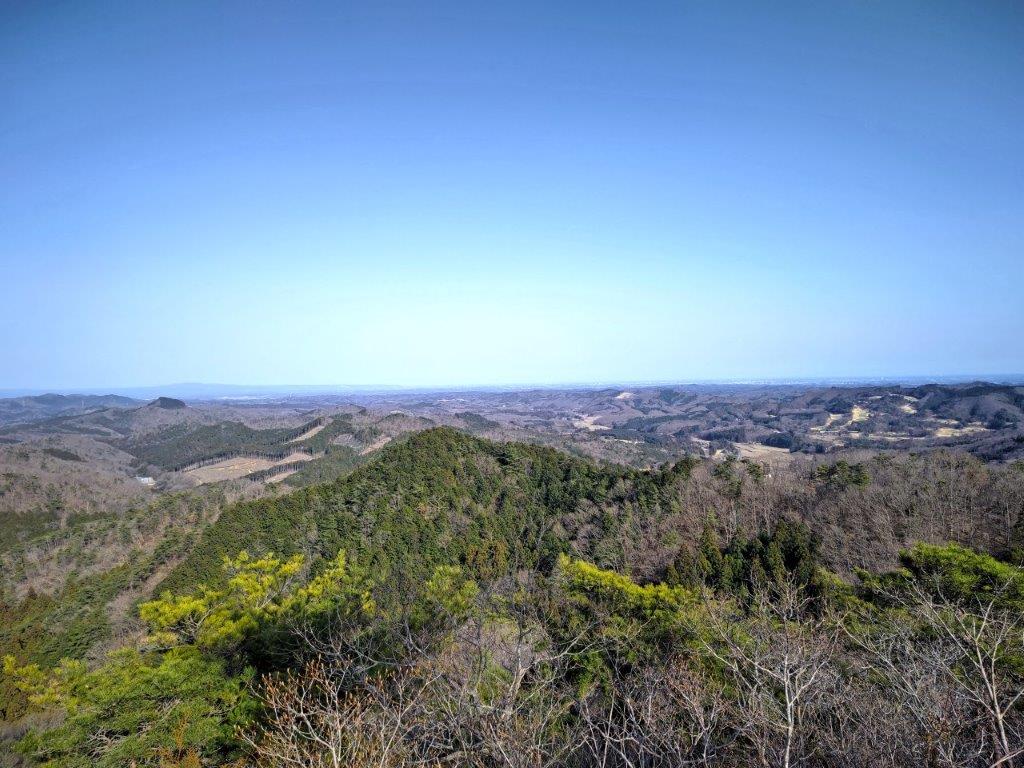
I had a bird’s-eye view of the wide valley between Mt Haruna and Mt Akagi. On the left side, I could also see Mt Onoko (climbed in January 2016), Mt Komochi, and behind it, Mt Hodaka (climbed in September 2015). After a short break, I continued my hike. Although I passed several people on the way up, I still had long stretches of the trail to myself. I soon passed another viewpoint on the south side, the flat Kanto plan stretching away into the distance; after a short scramble up a rocky section, equipped with ropes for safety, I reached one more viewpoint on the north side, near a pair of tiny shrines.
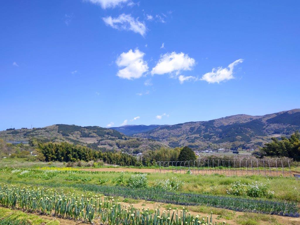
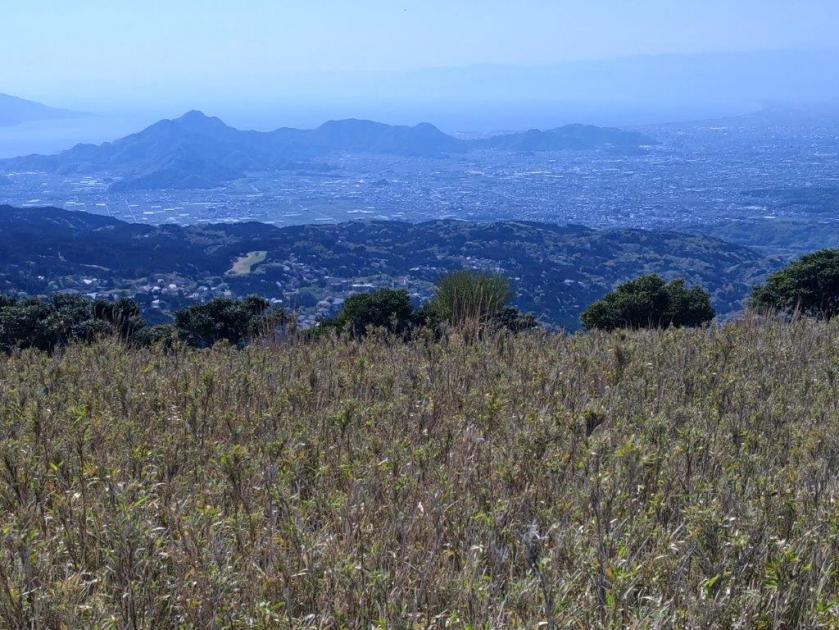
The Kanto Plain Stretching South

Looking down at the Shoulder
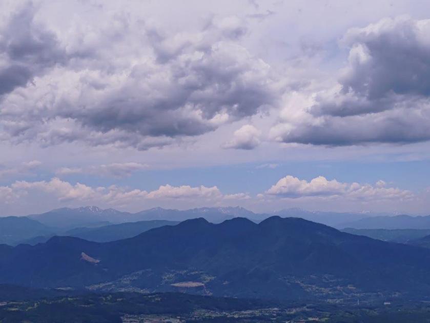
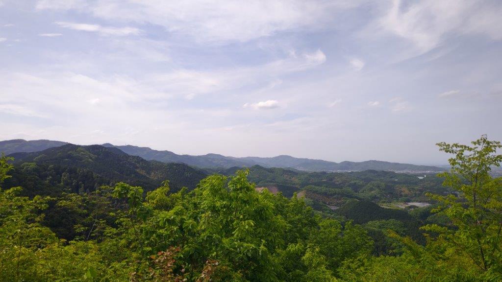
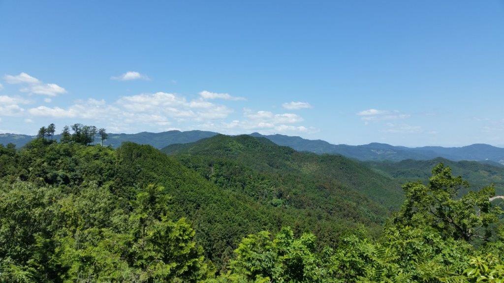
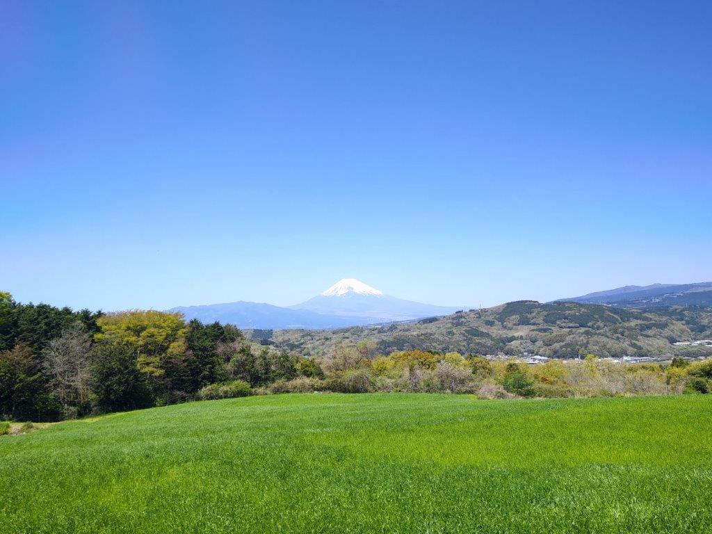
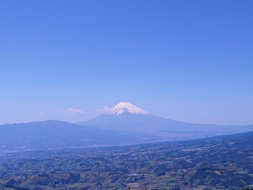
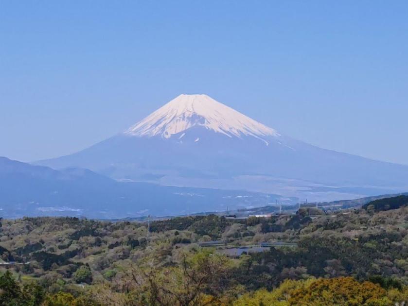
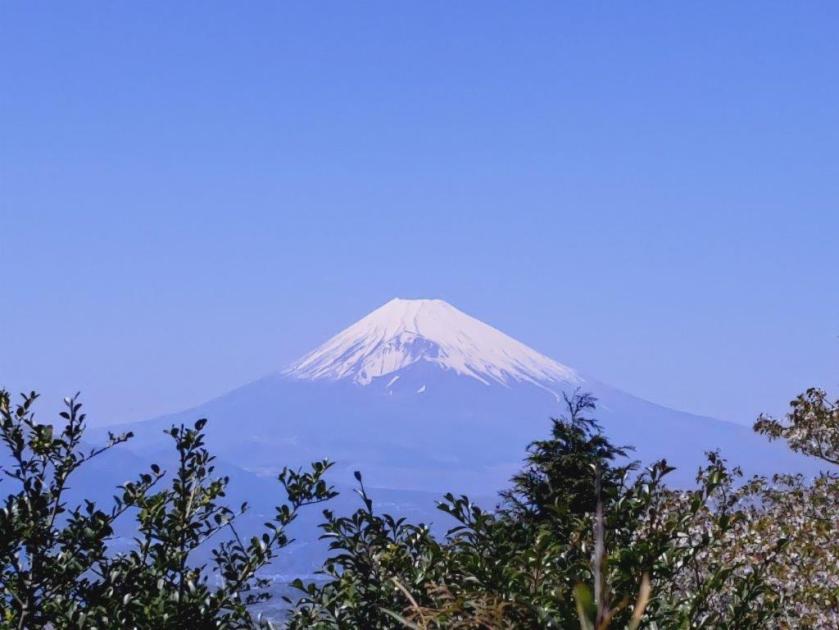
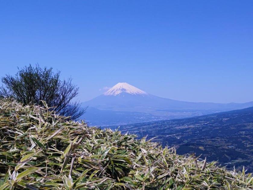
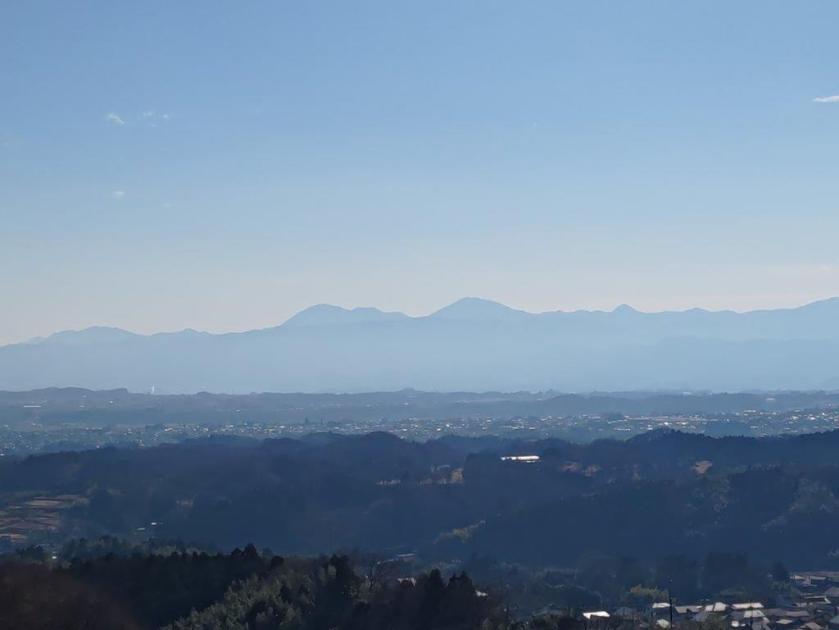
In the distance, I was surprised I could make out Mt Sennokura and Mt Tanigawa, still wearing their winter coats, the haze having already returned just two days after heavy rain. A little further, I reached the top of Mt Mizusawa (水沢山 みずさわやま mizusawa-yama), its prominence barely noticeable along the ridgeline, but with a spectacular 360° panorama. Directly ahead on the west side, I could see the highest peaks of Mt Haruna. To the southwest, were the Chichibu mountains, and to the southeast were Mt Kusatsu-Shirane, Mt Shirasuna and Mt Naeba (climbed in June 2015), its white, flat peak only just visible. It was past noon, so I sat down for some lunch.

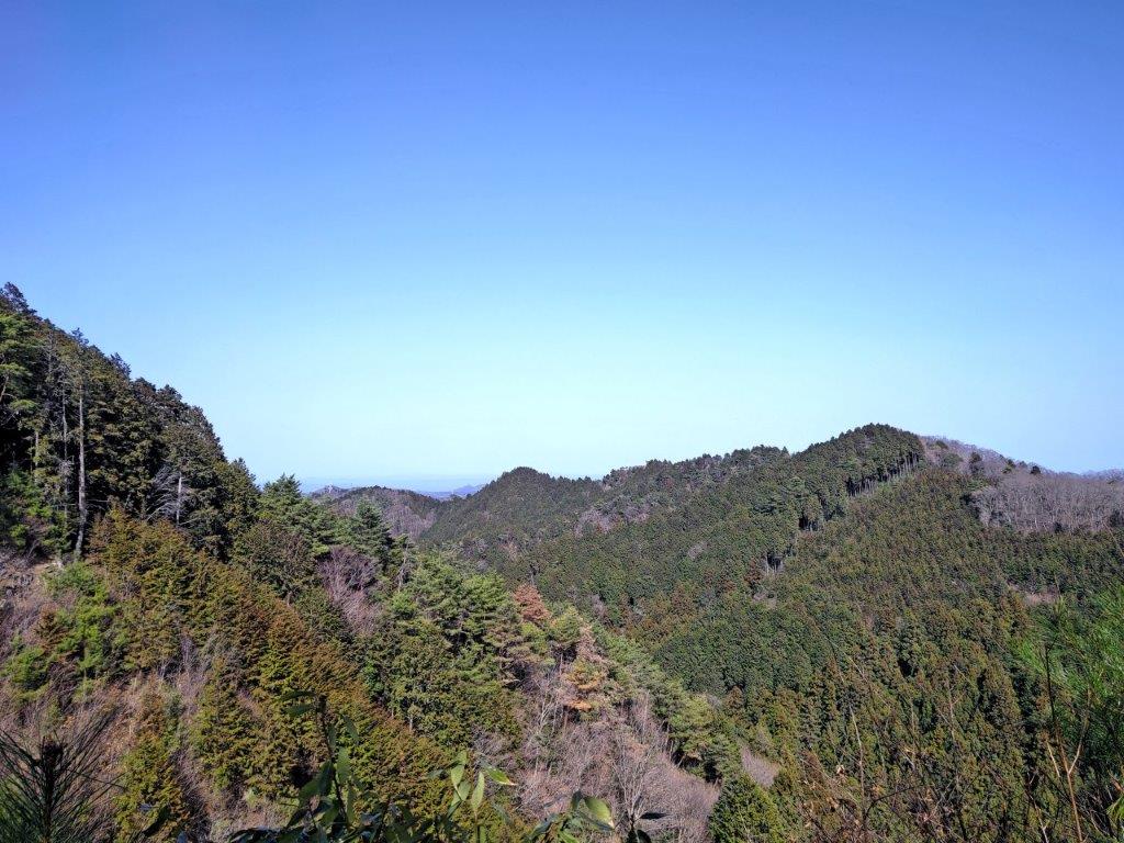
The Chichibu Mountains on the Southwest Side

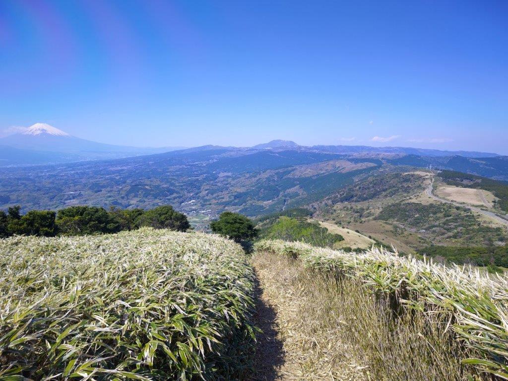
The Highest Peaks of Mt Haruna
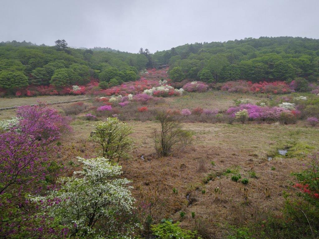
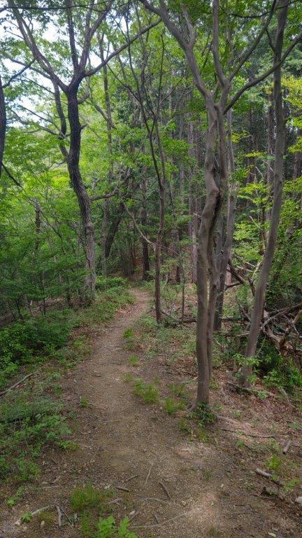
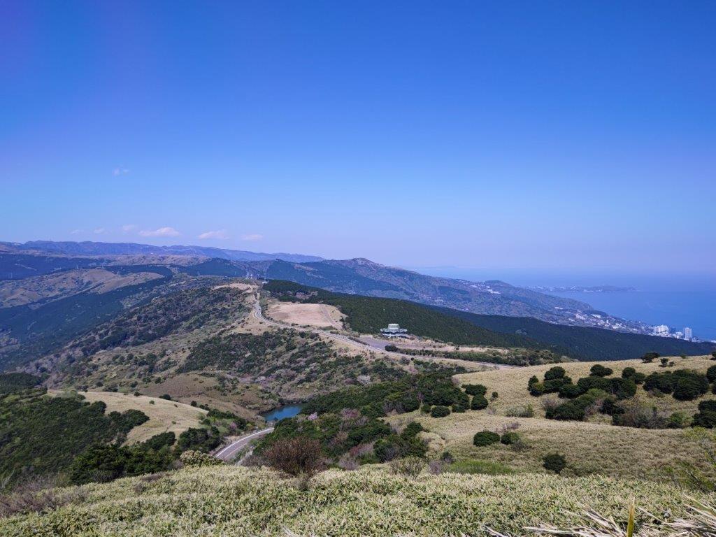
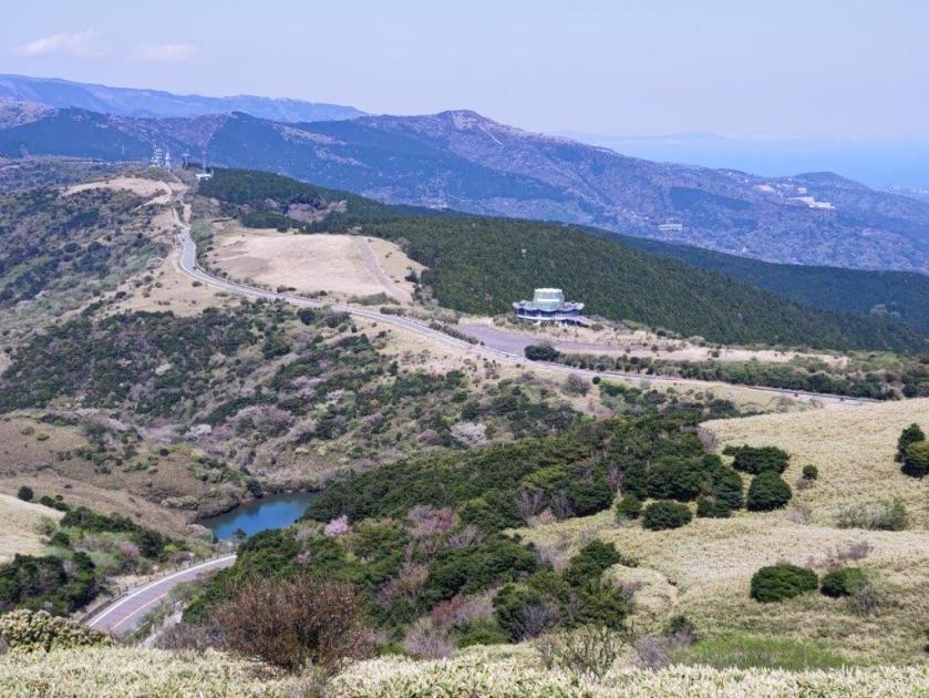
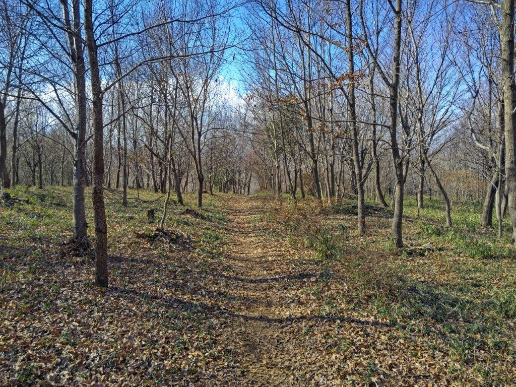
After I had my full of the spectacular view on this sunny day, I set off again, around 1h30. After some descending along the forested, rocky ridge, I reached a paved road, and there, turned right along the path for “Tsutsuji-ga-oka”, or Azalea hill, although they were now out of season and no flowers could be seen. I soon reached an open shelter before another road crossing, where I had an impressive side view of the peak I had just climbed. I continued along the easy-to-walk trail, and at 2h30, arrived at the “Tokimeki Deck”, a wooden observation deck near the top of the Haruna Ropeway.
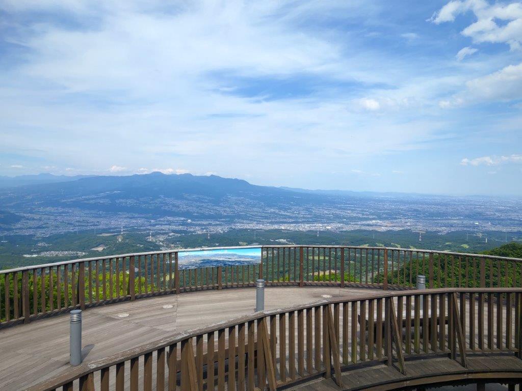
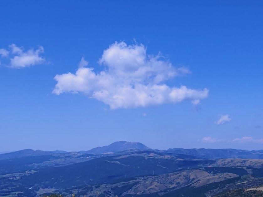
View of Mt Akagi from the Tokimeki Observation Deck

View of Mt Mizusawa from the Tokimeki Observation Deck
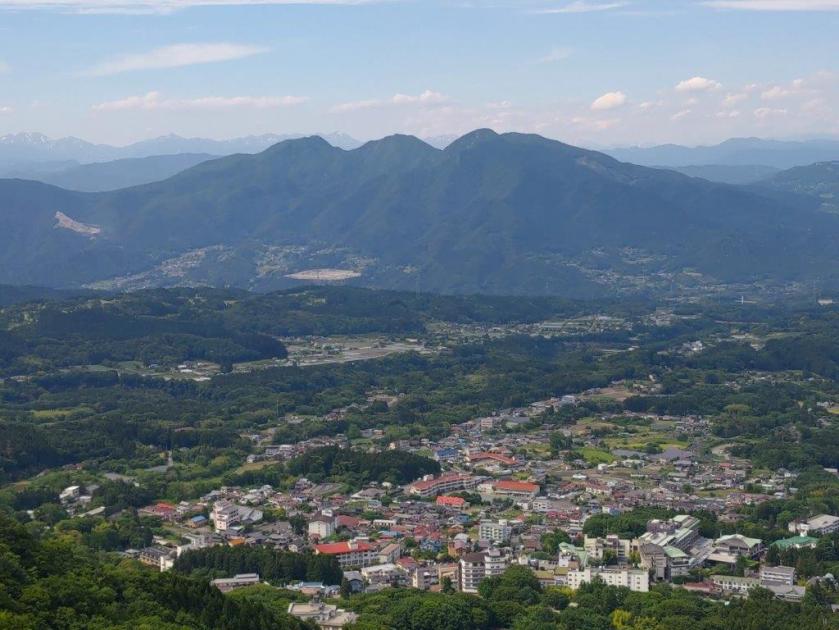
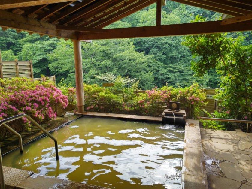
I enjoyed this view more than during my two previous visits, since not only had I now crossed the entire Mt Mizusawa ridge on the south side, but also many of the other peaks in the area. Looking north, I could see the hot spring town of Ikaho Onsen, nestled at the base of the mountain. I skipped the ropeway and followed the Fureai no Michi for the last part of the hike. At 3pm, I reached Ikako Shrine, at the top of the famous stone steps that cross the entire town. Almost immediately, I found a hot spring accepting day trippers. After a relaxing bath, I boarded the bus for the short ride to Shibukawa station, where I caught the limited express for the 100-minute comfortable ride back to Tokyo.

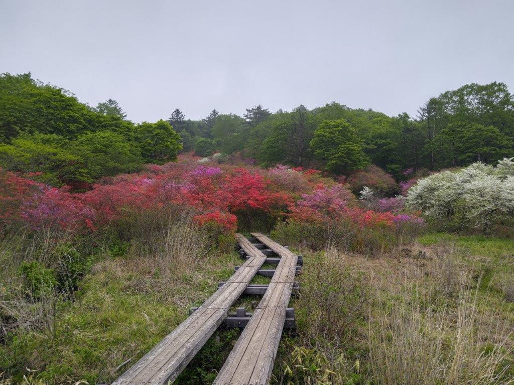
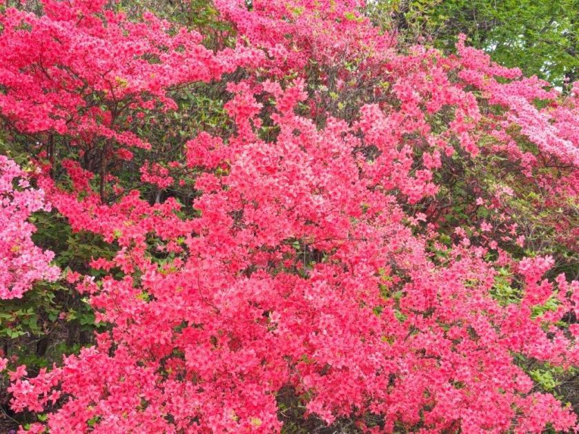
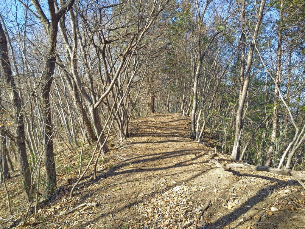
Trail past Tsutsuji-ga-oka (left) Staircase leading to Haruna-jinja (right)

Looking down at Ikaho Onsen from Tokimeki Deck
I was glad I could squeeze in this short hike, around 4 hours, just before the start of the rainy season. Although many people were hiking up and down the east side of Mt Mizusawa, there were a lot less people on the west side, so the second half of the hike was more peaceful. I’d like to return in the future to try some more hikes on Mt Haruna, especially now that I discovered the bus from Takasaki and the limited express from Shibukawa; however, whatever route I choose, I am sure I’ll always end with a hot spring bath at Ikaho Onsen.
Watch a Video of the Mt Mizusawa Hike


Watch a Slideshow of more Photos of the Mt Mizusawa Hike
Watch the Video of the Hike on Youtube

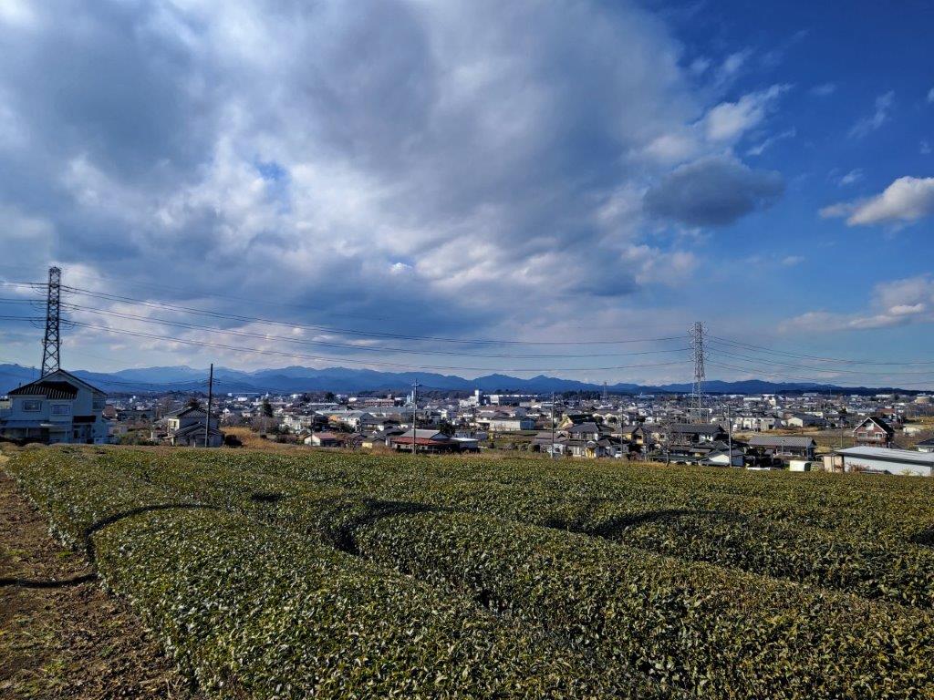
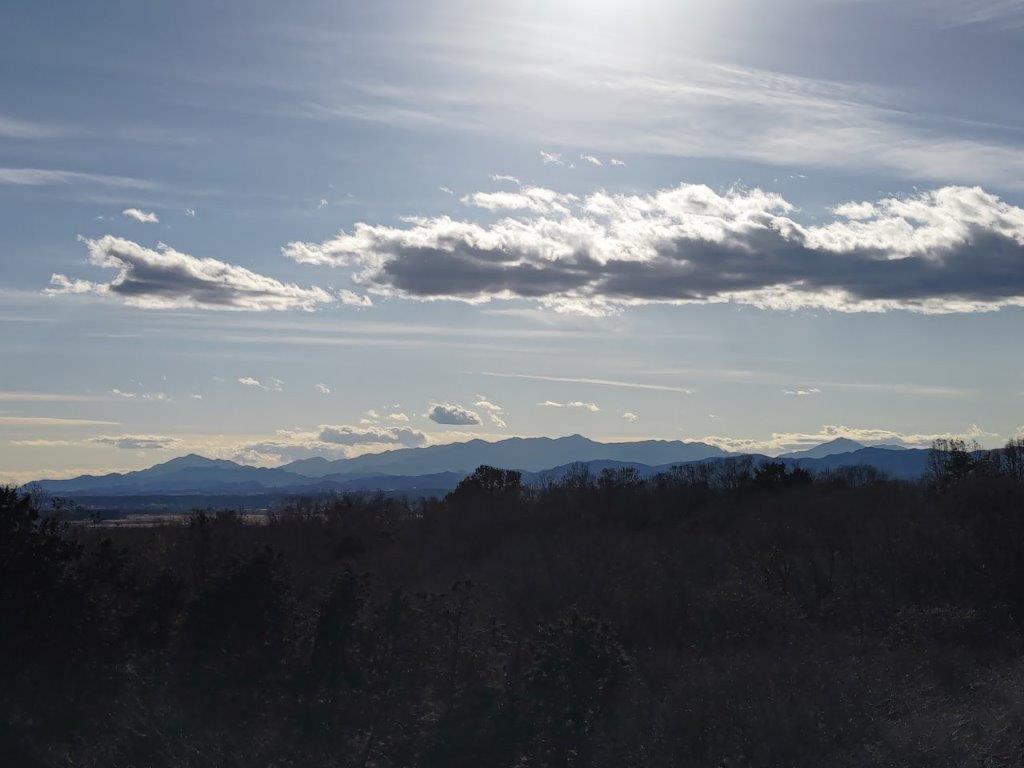
![Mt Akaguna (1523m), Kanna Town, Gunma Prefecture, Sunday, May 28, 2023 [Mikabo Super Forest Road]](https://hikingtokyo.com/wp-content/uploads/2023/08/dsc_7643-1.jpg?w=1024)


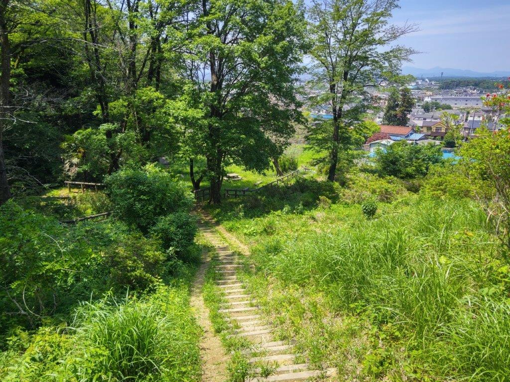
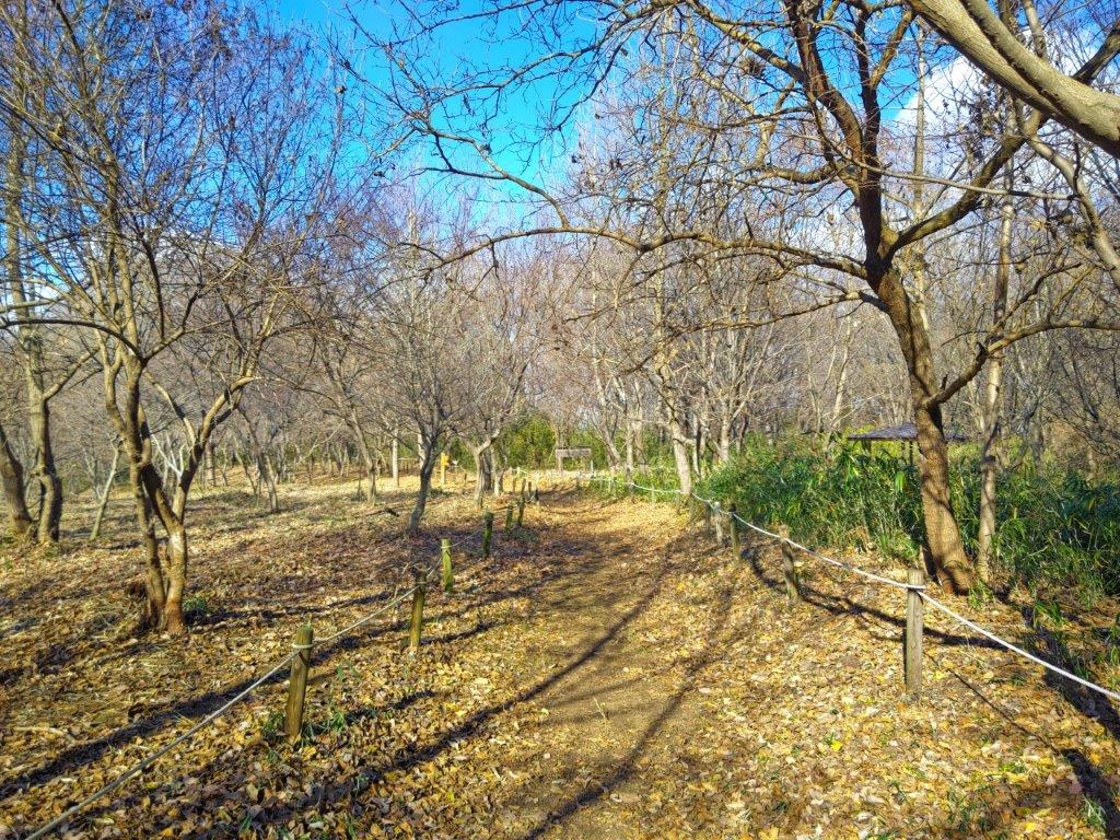
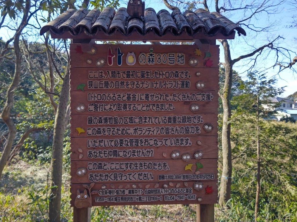
![Sayama Hills (Highest Point 194m), Tokyo & Saitama Prefectures, Tuesday, May 9, 2023 [Nawatake Forest Road]](https://hikingtokyo.com/wp-content/uploads/2023/07/dsc_7188.jpg?w=1024)


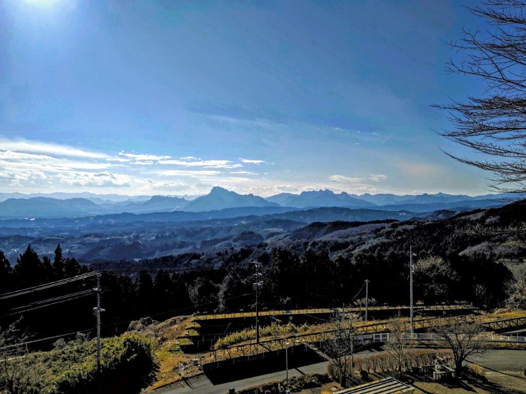
![Mt Rokudo (194m), Tokyo & Saitama Prefectures, Sunday, January 29, 2023 [Sayama Lake Perimeter Road]](https://hikingtokyo.com/wp-content/uploads/2023/05/dsc_2515.jpg?w=1024)


You must be logged in to post a comment.