Mt Kuro (798m), Kannami Town and Atami City, Shizuoka Prefecture, Sunday, April 9, 2023

I found out about this peak along the Izu skyline while researching my trip to Shimoda, and resolved to climb it on a future hike. Looking at my map, I saw I could traverse from west to east, starting from the side closest to Mishima city, and ending on the Atami side. It seemed like a relatively short hike, but I knew the views would be amazing on a clear weather day. I would take the shinkansen to Atami, then transfer to the Tokaido line for a couple of stops to Kannami station, and there board a Tokai bus to a stop just a short distance on foot from the trailhead. At the end, I could catch a bus back to Atami station from near the trail entrance. The forecast called for blue skies all day, and so I was looking forward to some Mt Fuji views along a relatively easy hike.

Hiking in the Fuji-Hakone-Izu National Park

富士箱根伊豆国立公園

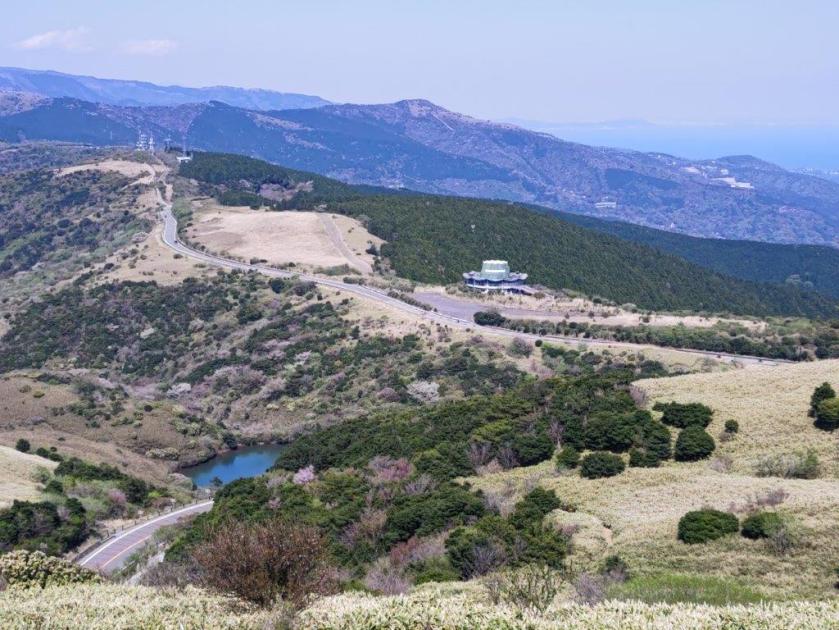
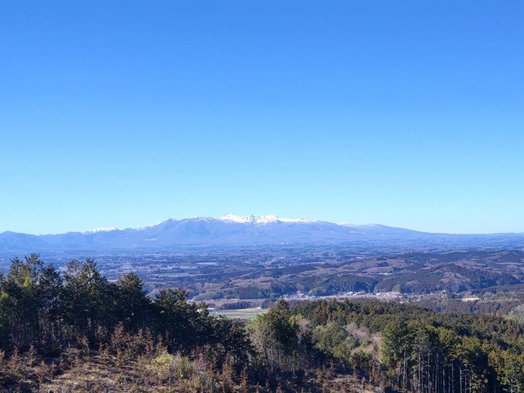
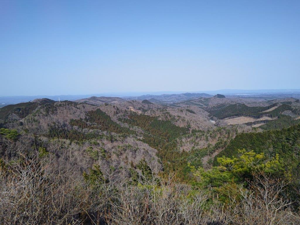
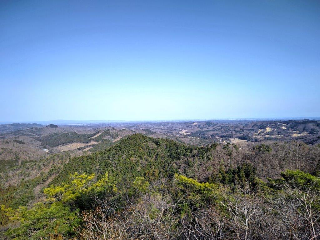
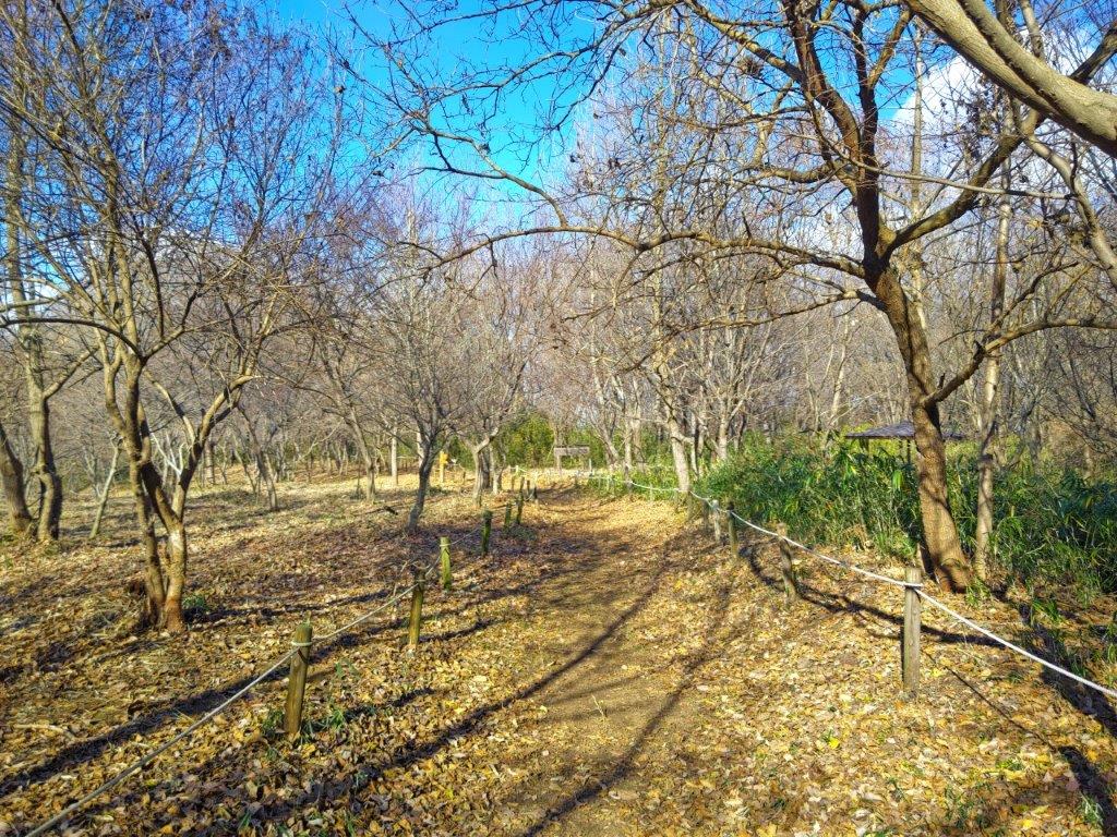
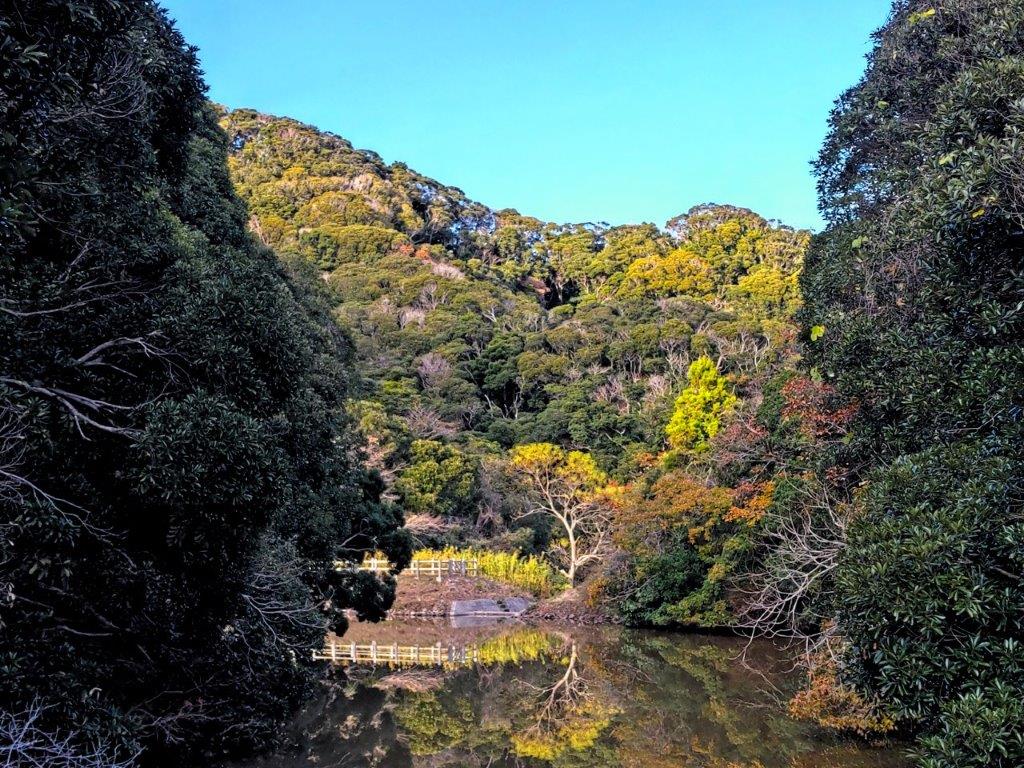
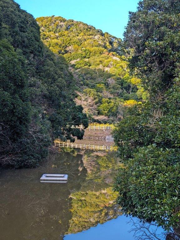
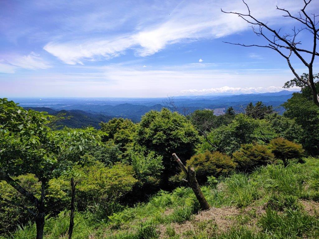
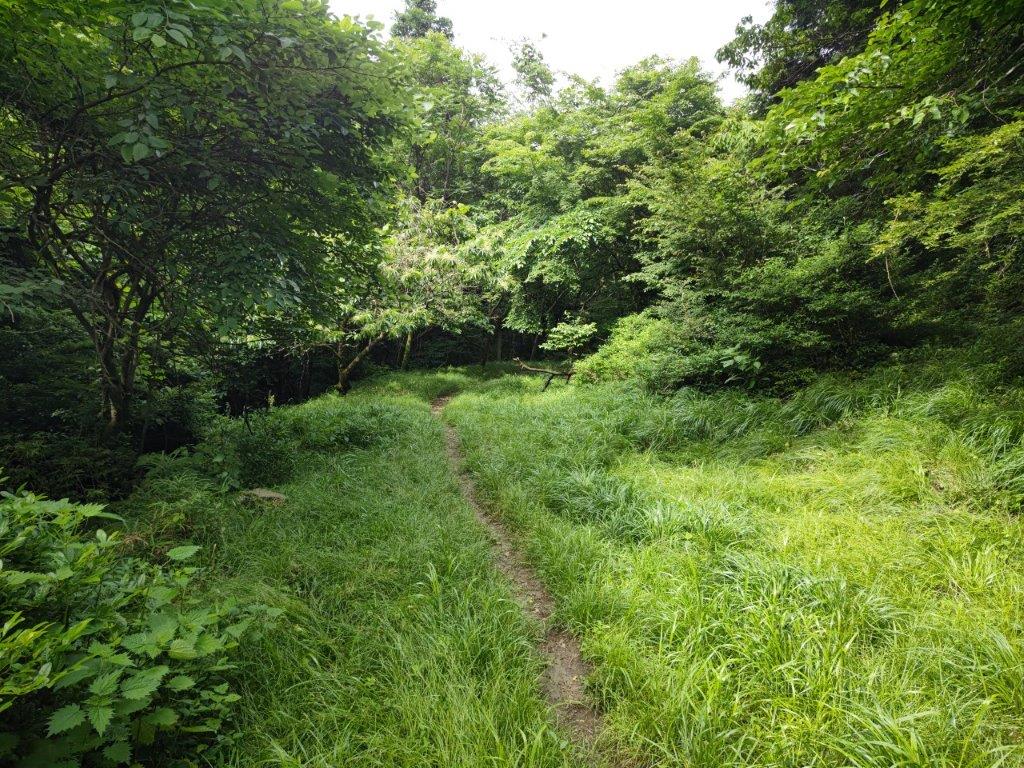
View between Kori Pond and the Mt Kuro Viewpoint
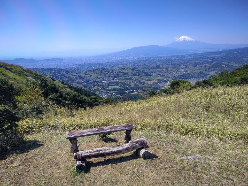
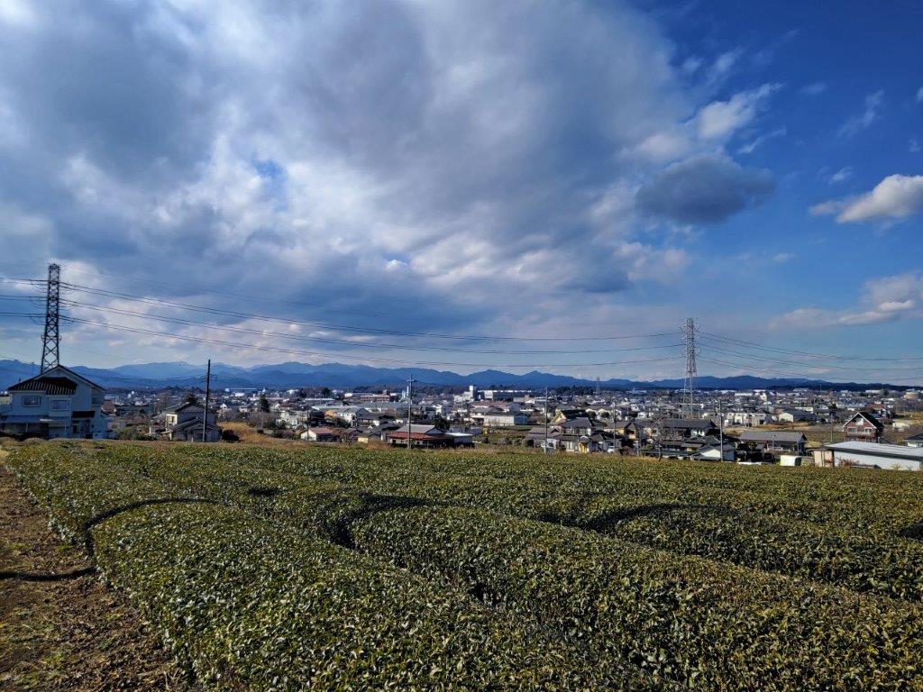
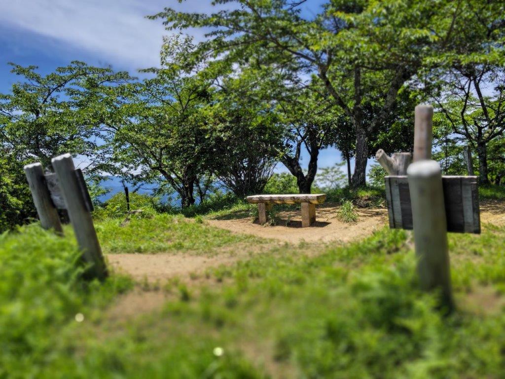
Bench with a view close to the Mt Kuro Viewpoint

I enjoyed the view of the the cherry blossoms in full bloom while I waited for the bus at Kannami station. After a short ride, I got off at a stop in the middle of the fields, opposite an “honor system” vegetable stand, and after getting ready, set off along quiet country lanes, a little before 11am. I was in high spirits, excited to explore an area I had never been to before.
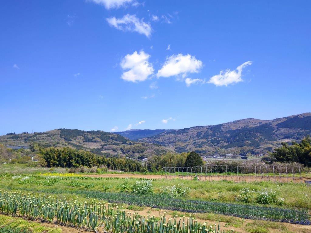
View of the Izu Skyline from near the Tanna Fault

Cherry Blossoms in Full Bloom near the Trail Entrance

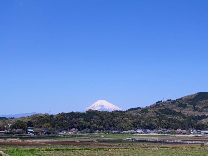
On my left, I had a view of the green, undulating ridgeline along which ran the Izu skyline and which I would soon be climbing; behind me, was Mt Fuji, still wearing its snowy winter coat. I soon passed through Tanna Fault park (丹那断層公) commemorating a massive earthquake that hit the area nearly 100 years ago, a sobering reminder of nature destructive power.
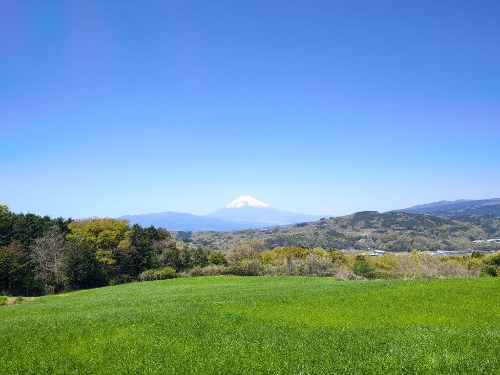
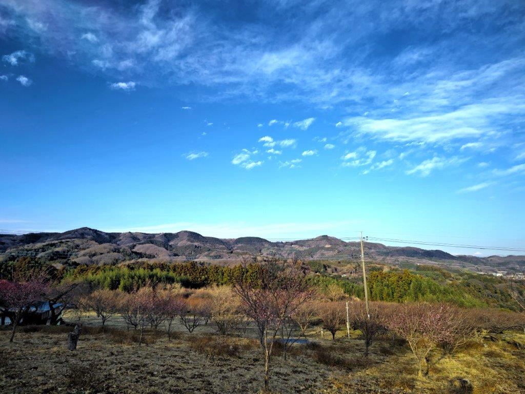
Green Meadows and White Volcanoes
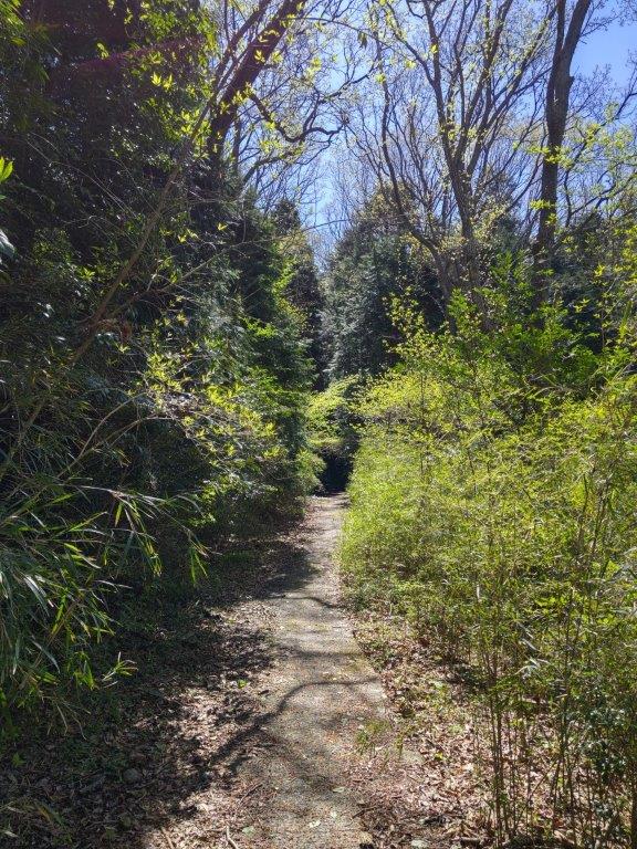
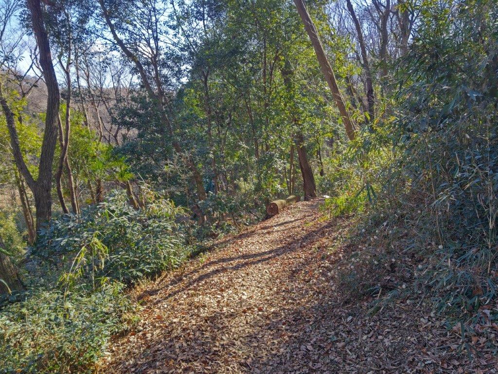
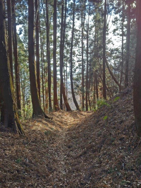
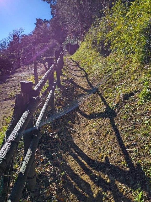
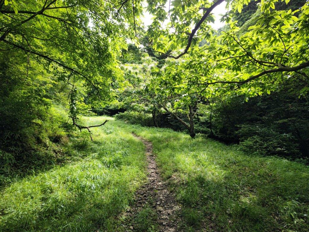
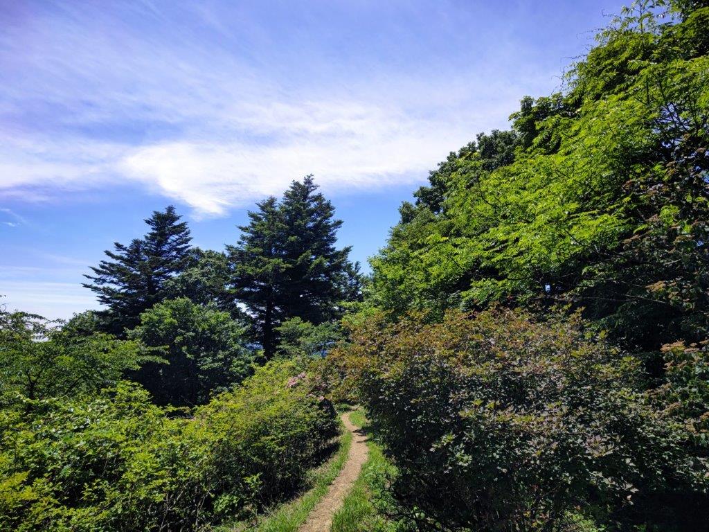
Sun & New Green (left) Tall Cedars & Shade (right)

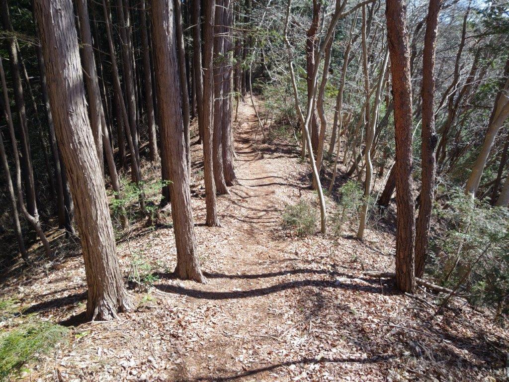
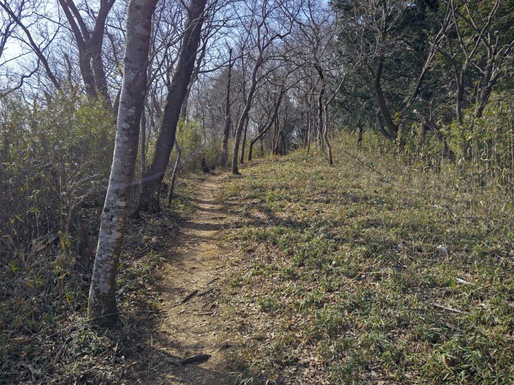
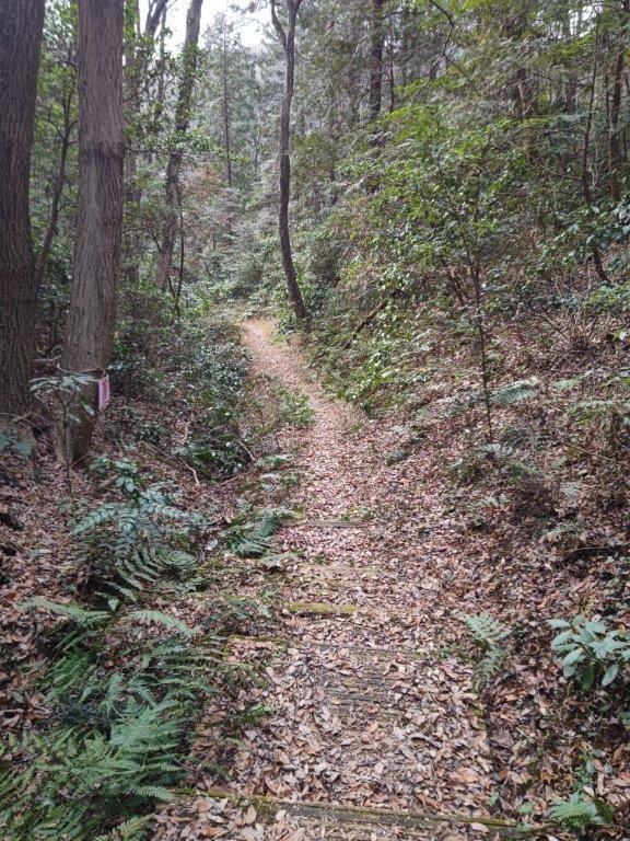
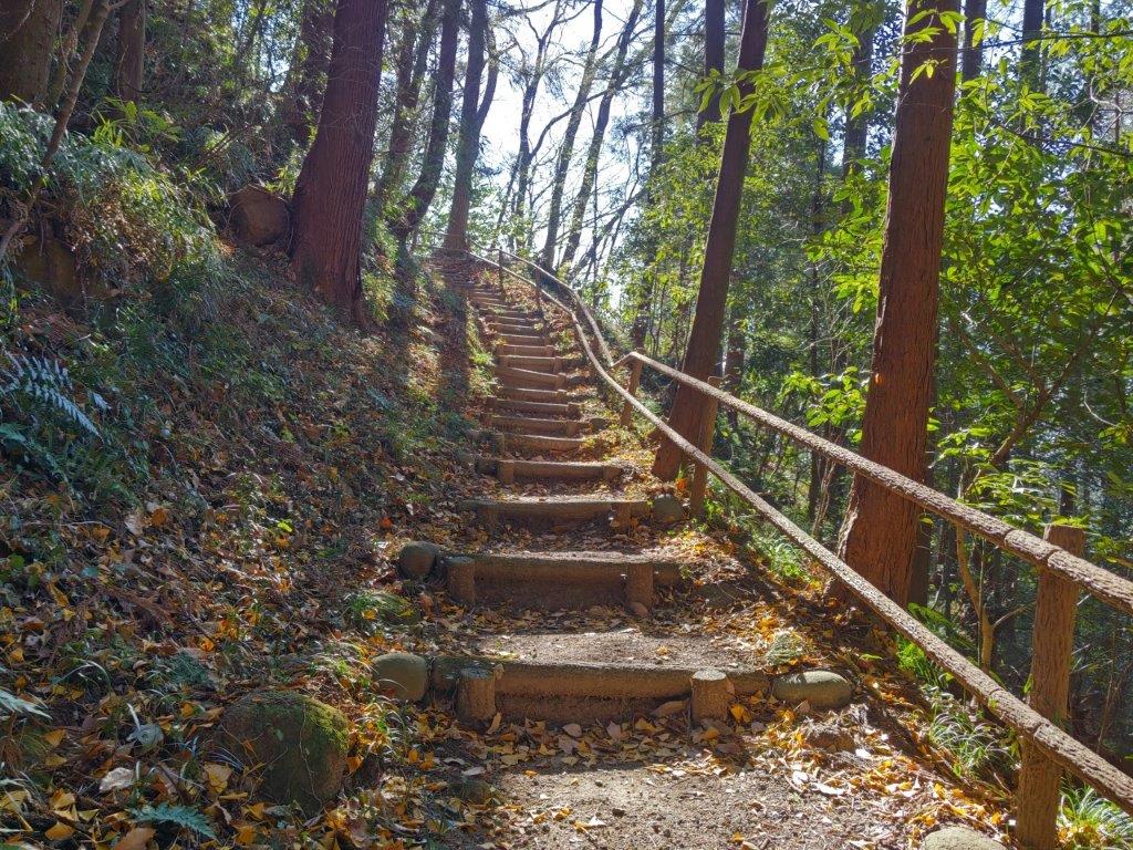
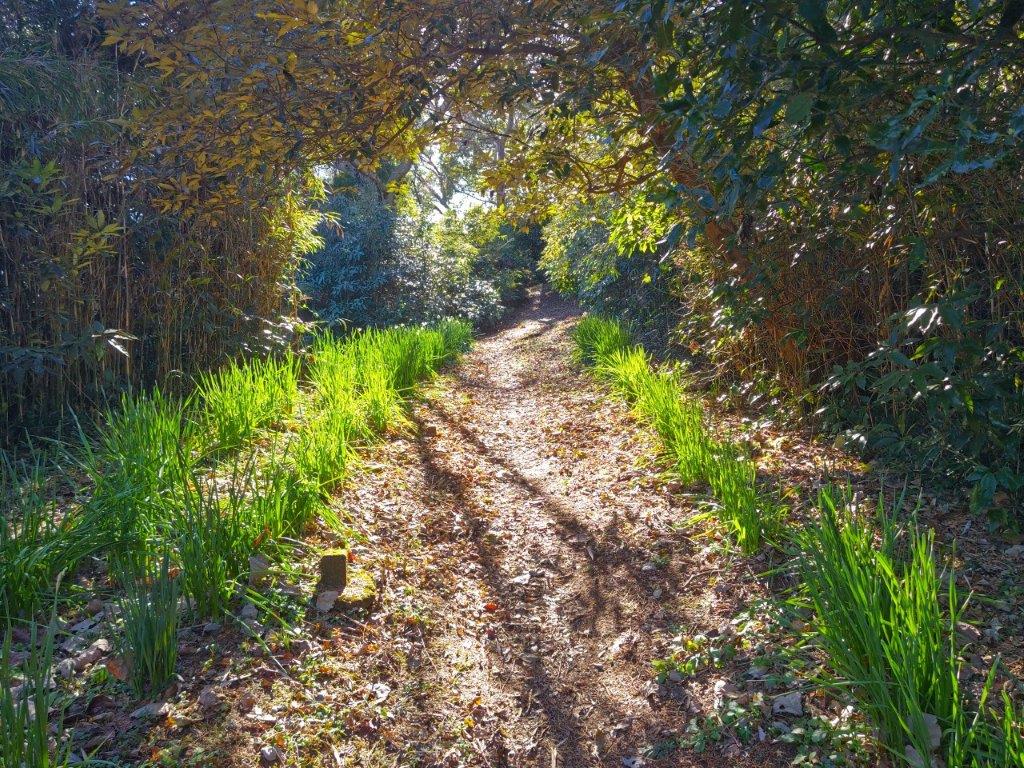
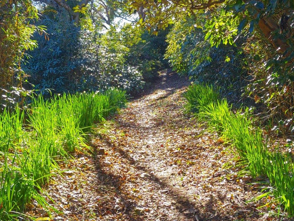
Later, I passed some green meadows, reminding me of Switzerland, except for the solitary yaezakura (“double-layered cherry blossom tree”) in the foreground and Mt Fuji in the background. At 11h30, I reached the trail entrance, and after climbing through mixed forest, towering cedars, and finally a bamboo grass tunnel, I reached Kori pond (氷ヶ池), located under a curve of the Izu skyline.

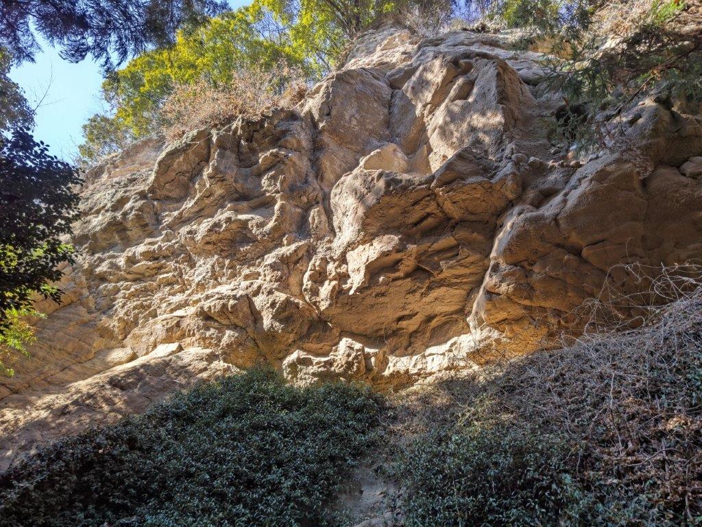
Rocks on the Trail (left) Through the Bamboo Tunnel (right)

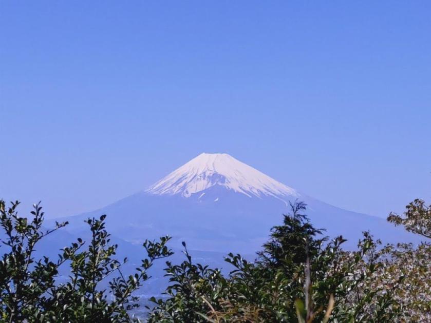
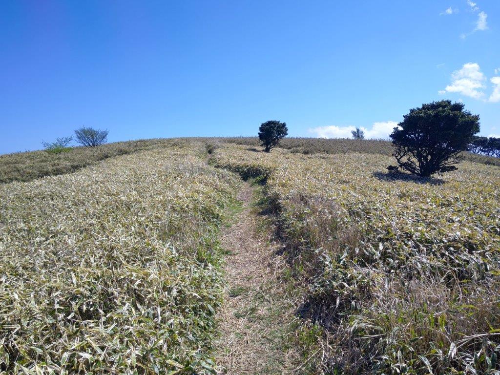
First Glimpse of the Summit

I gazed in wonder at the magical view of Mt Fuji rising above the pond. After a short break, I made my way back along the pond side to an intersection passed previously, and then up a steep path, equipped with rope for safety. The bamboo grass was much shorter now, and a panoramic view of the entire area was slowly emerging all around me. I turned around frequently to admire the view of Hakone volcano on the north side.

Mt Fuji and Kori Pond

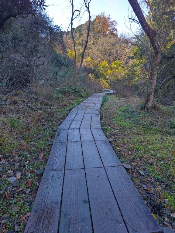
Trail Alongside Kori Pond

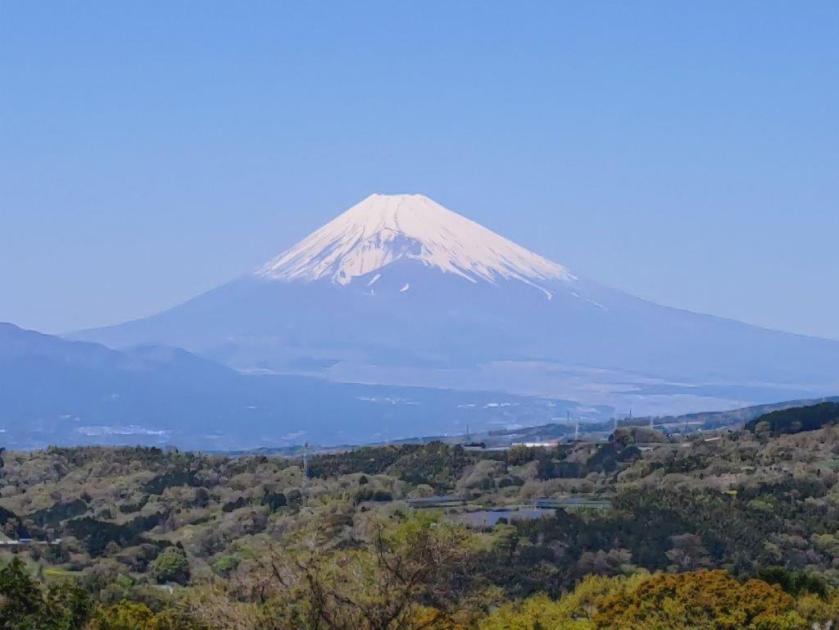
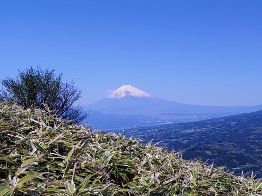
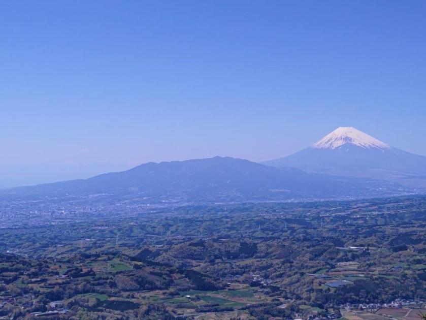
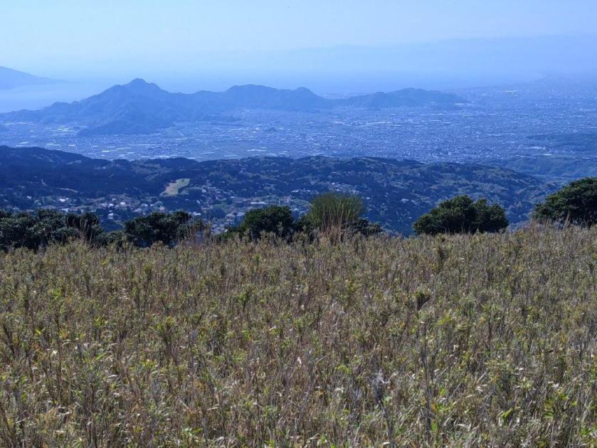
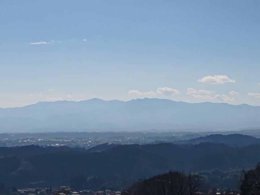
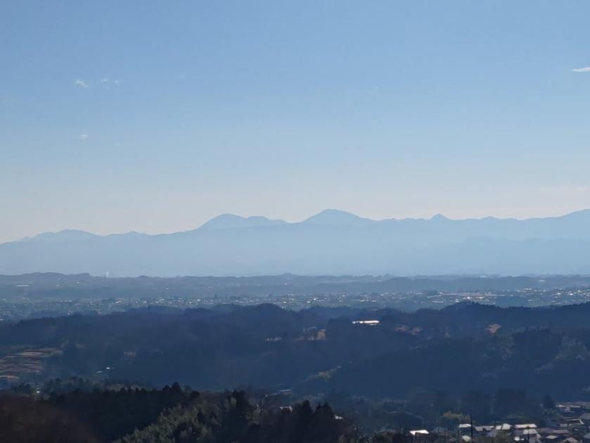
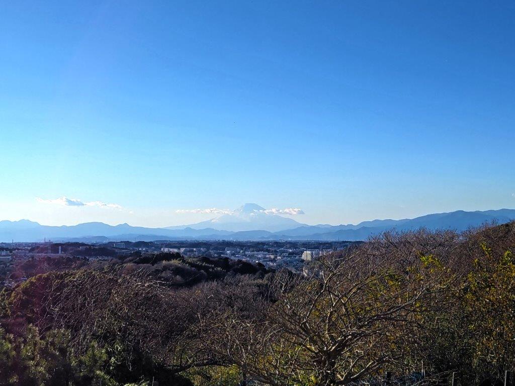
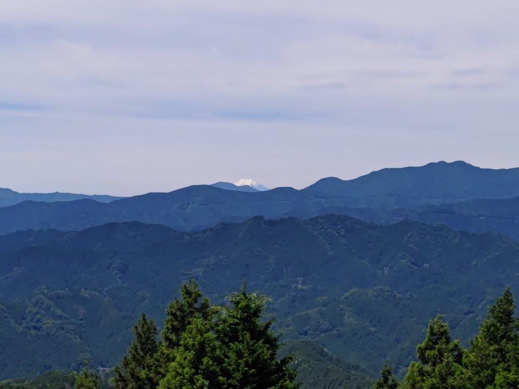
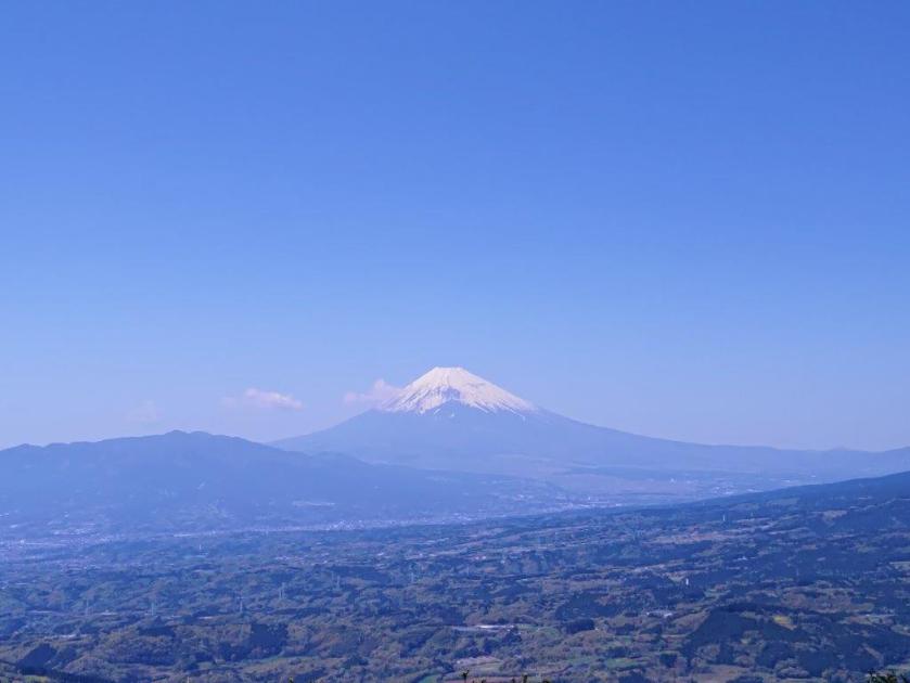
At 1pm, I reached the best view of the day: a single bench just a few minutes away from the Mt Kuro Second Viewpoint (玄岳第二展望台), which I had visited by car in the winter. Directly ahead was Mt Fuji, with Mt Ashitaka on its left, and Mt Hakone on its right; beyond was Suruga bay and the Minami Alps. Looking down, I could see the dark green lowlands stretch all the way to Numazu City.

View of Hakone Volcano above Kori Pond
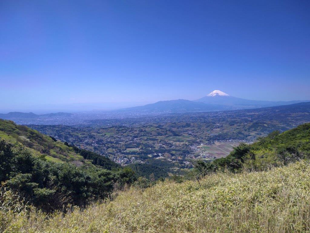
View of Mt Fuji, Mt Ashitaka (center) and the Numazu Alps (left)

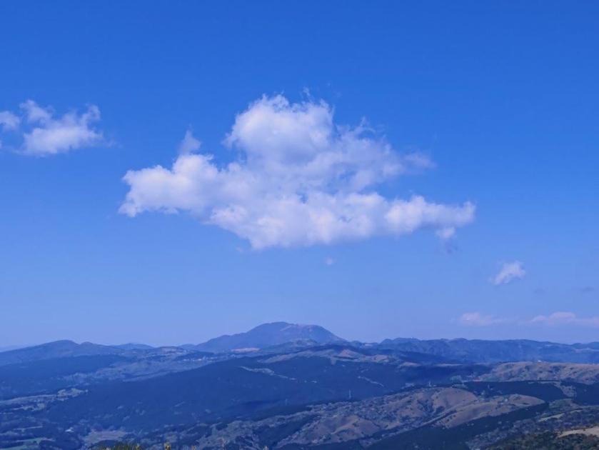
I waited for a break in the procession of roaring motorbikes before quickly crossing the skyline, and then proceeded up the final climb. As I made my way up the grassy, rounded summit, the view gradually opened up on the south side, and I could now see the Numazu Alps and the mountainous interior of Izu peninsula, culminating in Mt Amagi. At 1h30, I reached the flat top of Mt Kuro (玄岳 くろたけ kurotake), a Shizuoka 100 famous mountain.
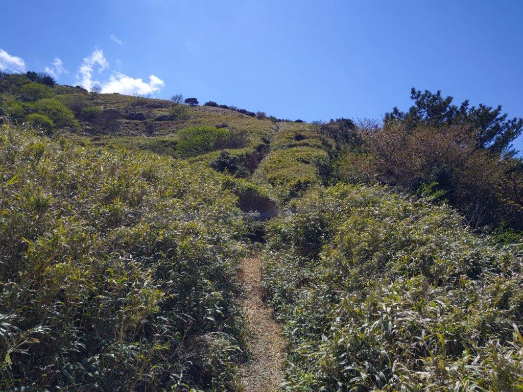
Final Climb to the Summit
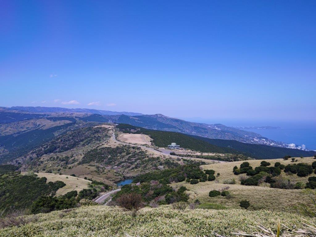
Looking Back at the Izu Skyline and Atami Resort

Curiously, the view was slightly less dramatic from the top, since I no longer had the soaring views looking down at the flat coastal area, nearly 800 meters below. I had the summit entirely to myself, most people preferring the drive the skyline and enjoy the views from the many parking areas along the way. I took a break for lunch, enjoying the picture-perfect view of Mt Fuji and the comfortable early spring weather. At 2pm, I headed down a path on the north side.
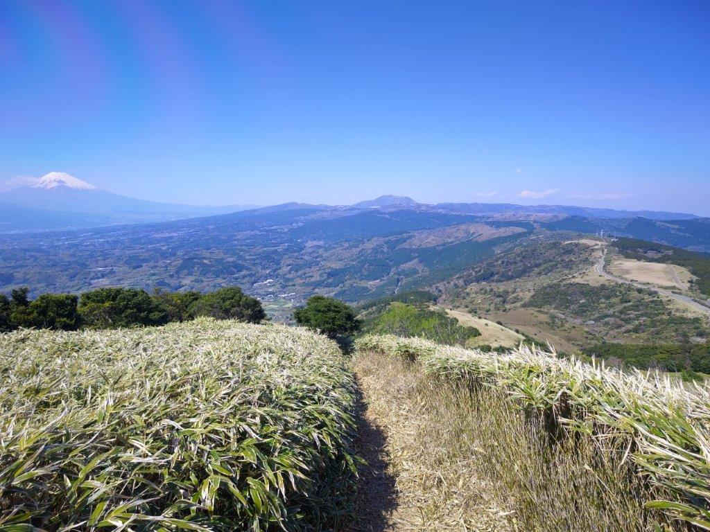
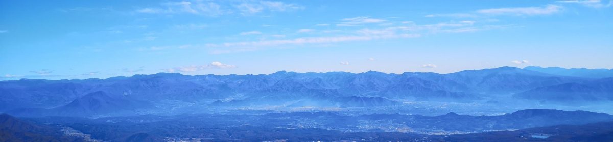
Panoramic View of the Fuji-Hakone-Izu Area
Nearly at the Top

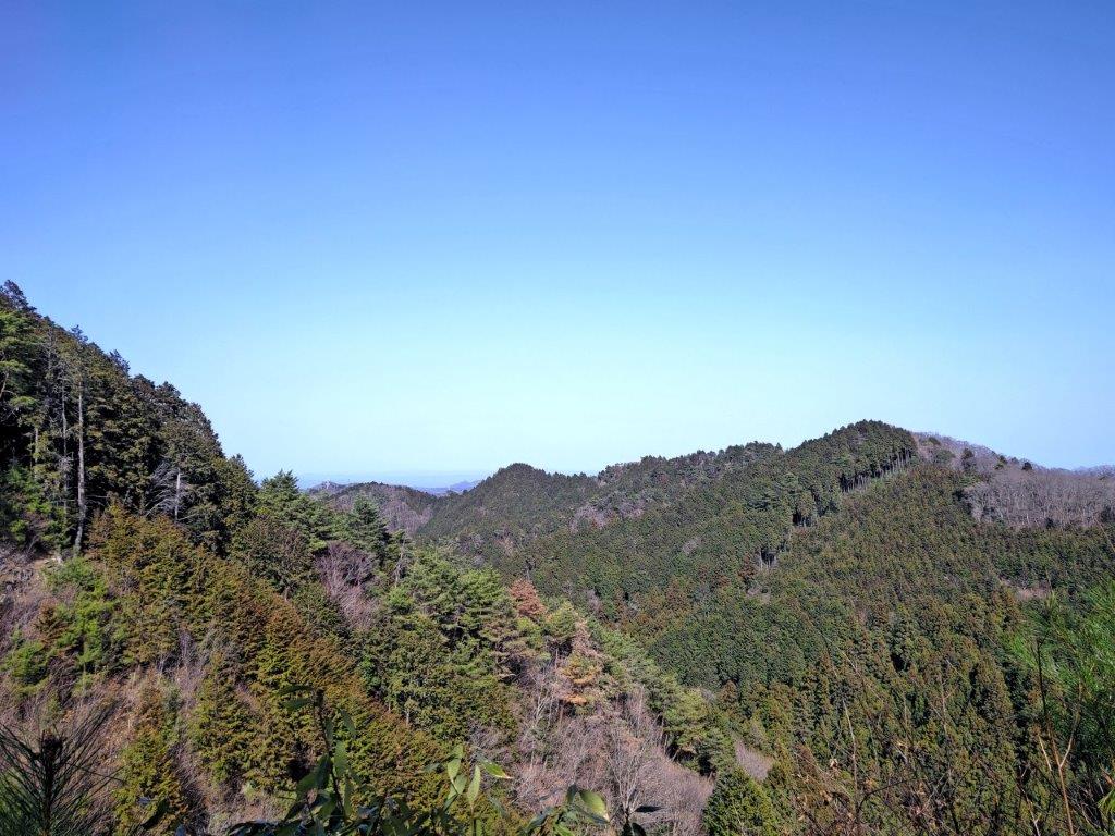
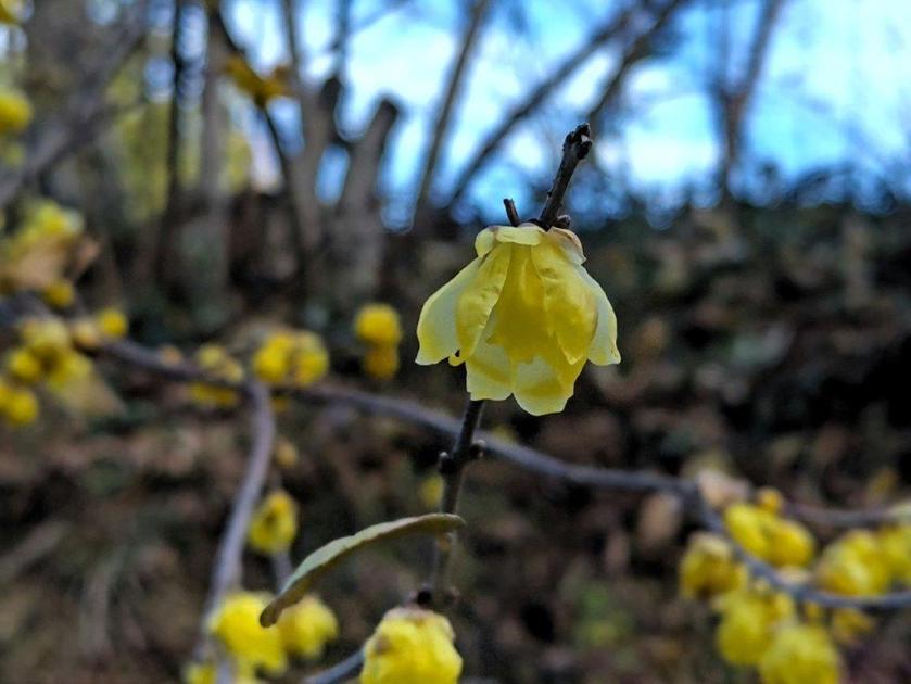
As I walked down, I had a bird’s eye view of Atami resort and the coastline of eastern Izu. Here and there, yamazakura (mountain cherry blossom tree) in full bloom dotted the mountain side. The peace and quiet was often interrupted by the revving of engines; I picked up the pace so I could get to the quieter side of the mountain. I tarried a short while in a spot with plenty of asebi (Japanese Andromeda flower; by 2pm, I was following a trail down through mixed forest.

View of Mt Fuji and Hakone

Heading Down to Atami

I savoured the silence and relished in the new green of spring surrounding me in all directions. Just before 3pm, after passing a bamboo forest, I reached a steep downhill road at the edge of a town, which I followed into the valley, till it merged with a wider road with a bus stop. Once back at Atami station, I boarded the shinkansen for the lightening fast 45-minute trip back to Tokyo.

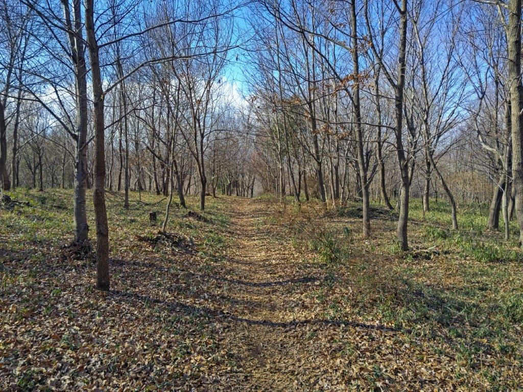
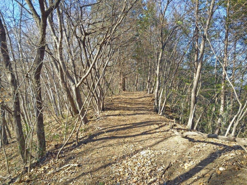
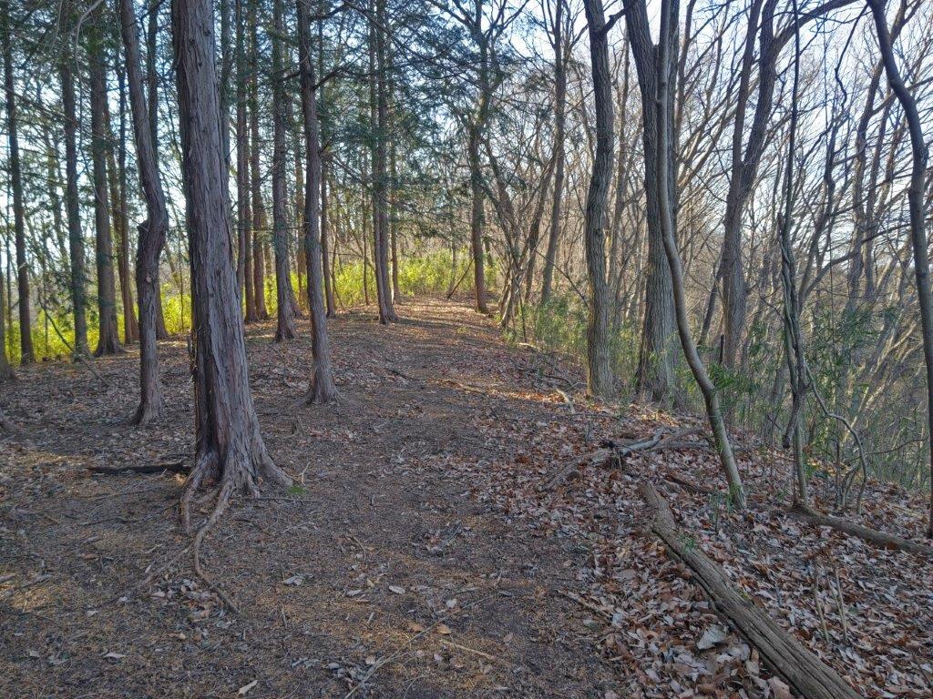
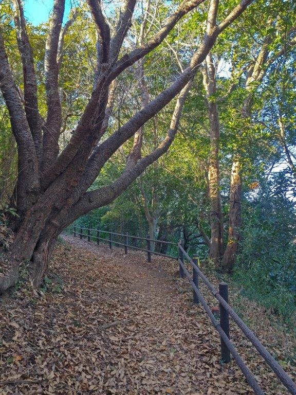
Easy Hiking Through Mixed Forest
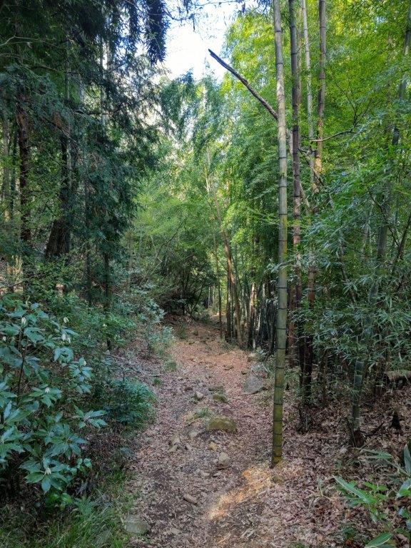
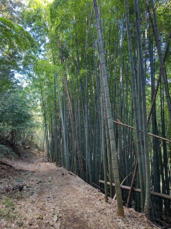
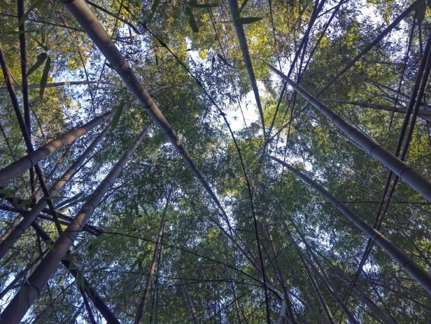
Bamboo Forest at the End of the Trail

In December 2022, I drove along the Izu Skyline between Atami and Mt Amagi and was impressed by the many viewpoints on both sides. It was a good season to drive there since the weather was clear and not too cold, and there was relatively little traffic. In the future, I’d like to do it in reverse so that I can better enjoy the views of Mt Fuji.

View of Kori Pond from the Izu Skyline (Dec 2022)

View of Atami from the Izu Skyline (Dec 2022)

I was very satisfied with the hike mainly because of the great views but also because of the near total absence of other hikers. If I were to redo it, I would probably go by car and start from the Mt Kuro viewpoint, since it’s possible to do a loop hike with all the views.

Watch a video of the Mt Kuro Hike

See the View from the Izu Skyline (December 2022)
See a slideshow of other pictures from the Mt Kuro Hike

Mt Koteya (512m), Otawara City, Tochigi Prefecture, Sunday, March 19, 2023

I wanted to do some more hiking on the Abukuma Plateau, since I had a great view of it the previous week. Although, I had exhausted all day trip options from my guidebooks, I found a promising peak by examining my maps, east of Mt Takahara and southwest of Mt Yamizo. The hike was up and down the same way and the highest point was next to a road and a parking lot, meaning I wouldn’t have the summit to myself this time. I could get there by taking the shinkansen to Utsunomiya, then take the local line to Nishi-Nasuno, and there catch a bus for Otawara City; on the return, I would do the same route in reverse. The weather was once again supposed to be sunny all day long, and so I was looking forward to exploring a new area and seeing some familiar mountains from new angles.

View of Mt Takahara from the top of Mt Koteya

View of Mt Nasu from halfway up Mt Koteya

It was another perfect blue-sky day as I got off the empty bus a little after 11am. On the way to the trailhead, I stopped by a conveniently located 7/11 to buy some last minutes supplies, and was finally ready to start hiking just before noon. I went under a stone Shinto gate and walked up a long staircase, at the top of which I passed the lonely Atago Shrine on the left. I then followed the path surrounded by tall cedars, the winter sun filtering through the treetops. After some ups and downs, I reached an area clear of trees just before 1am.

Start of the trail (left) walking through the cedars (right)

An easy hike on a sunny winter day

To the west, I had a fantastic view of Mt Nasu, its highest peaks still covered in snow; looking north, I could make out the more discrete shape of Mt Yamizo, the highest peak of the Abukuma Plateau. After taking in the view, I continued along the gently climbing and easy to walk trail. Half an hour later, I emerged onto a road which I followed a short way before reentering the forest. Here, I encountered the steepest section of the hike: although short, it was a scramble, even in dry weather. A few minutes later I arrived at a open shelter.

View towards Mt Yamizo around the half way point

View towards Fukushima Prefecture

Looking west, I had an excellent view of Mt Takahara, specks of white visible on its highest points. I soon moved on, and at the top of a grassy staircase, reached the summit of Mt Koteya (御亭山 こてやさん koteyasan). I had a view on the west side, stretching from Mt Tsubasa to the Oku-Nikko mountains, their tops hidden by clouds; in between lay the vast Kanto plain; on the opposite side, I could make out Mt Yamizo, just visible above the trees. It was nearly 2pm, so I sat on one of the benches scattered around the wide grassy summit for a lunch break.

View of Mt Nasu

View of Mt Hirugatake & Mt Kurotaki (left) and Mt Nasu (right)

It was more peaceful than I had imagined with only one other person venturing to the top from the nearby parking lot. After lunch, I made my way down to the road, and after checking out another viewpoint behind the parking lot, walked back a short way along the road so that I could skip the steep slippery section just below the summit; traffic was light, and I was rewarded with extra views through the trees. Half an hour later, I was back at the clearing passed on the way up.

Last short climb to the summit

View towards Nikko from the summit

After enjoying the view again, slightly different in the afternoon light, I continued down through the forest. Shortly before Atago shrine, I took an alternative path on the right, ending at a small lane on the north side of the mountain. At 3h30 I was back at the trail entrance; since I had about 30 minutes before the return bus, I paid a a quick visit to the nearby Daiyuji Temple and its statues with various interesting facial expressions. On the way back to the bus stop, I had one last view of Mt Takahara from Yakumo shrine.

Heading back down through the forest

View of Mt Takahara from Yakumo shrine

This was another short hike, under 4 hours, but the superb views from half way up and the summit made it entirely worthwhile. It might be interesting to return one day by car to explore the area some more.

See a video of the Mt Koteya hike

Mt Yakemori (420m) & Mt Keisoku (430m), Motegi & Shirosato Towns, Tochigi & Ibaraki Prefectures, Saturday, March 11, 2023

I had this hike in mind for a while, but since it could only be reached by car, it was low down on my list. I would follow the route described in my Mountains of Ibaraki guidebook: a loop hike, with short roundtrips to each peak, at opposite ends of the top ridge. These two mountains are situated near Mt Amamaki and Mt Takadate, on the Tochigi and Ibaraki border, halfway between Utsunomiya and Mito cities, their respective capitals. I decided to rent a car from the latter, about an hour’s drive to the parking on the east side. This way I could take the comfortable Hitachi limited express to Mito station and back. Since it was a relatively short hike, I could get an early lunch at a soba restaurant on the way. The weather was once again supposed to be sunny and I was looking forward to getting more views of the low mountains of the southern end of the Abukuma plateau.

Mt Keisoku (south peak) seen on the way to Mt Yakemori

View of the Abukuma Plateau from Mt Keisoku (north peak)

I was relieved that the parking lot was practically empty when I arrived at 1pm; according to the Google Maps, it’s always full in the morning, especially at this time of the year. After getting ready, I set off up a forest road through the cedars. I soon reached a switchback trail leading to Tarumi Pass (弛み峠) on the ridgeline. There, I turned left, heading west, towards today’s first peak.

Start of the hike (left) Below the south peak of Mt Keisoku (right)

Ridge trail leading to Mt Yakemori

As I followed the undulating ridge, I had glimpses through the fir trees of today’s other peak. After navigating the rocky trail round the base of Zazen Rock (座禅岩 meaning “Zen meditation”), I arrived at the summit of Mt Yakemori (焼森山 やけもりさん yakemorisan meaning “burnt forest”) from where I had a view of Mt Takamine to the southwest and the vast Abukuma Plateau stretching into the distance on the north side. At 2h30, after a short break, I headed back to Tarumi Pass.

View of Mt Keisoku from Mt Yakemori

View northwards of the Abukuma Plateau

I followed the sunny trail up a steep slope and soon reached a junction and a bench in the sun. A signpost indicated that this was the south peak of today’s second mountain; apparently Mt Fuji can be seen through the trees, but not today. I turned left, going down for a bit, and then up again through dark forest. At 3pm, I reached the north peak of Mt Keisoku (鶏足山 けいそくさん keisokusan meaning “chicken foot”), a Tochigi 100-famous mountain, and the exact same height as the south peak.

View northeast from Mt Keisoku

The outline of Mt Nantai can be seen on the right side

The summit was free of trees and offered a wide view on the north side. At this late hour, it was also free of people. I could make out the shape of Ibaraki’s Mt Nantai to the northeast, about 30km away. I followed the trail as it continued down the north side, and a few minutes later, I arrived at Tori-iwa (鶏岩 meaning “chicken rock”), where I had a view on the east side. I quickly made my way back to the junction on the south peak, and and continued along the main trail as it curved south and started to head down the mountain.

View to the southeast from Mt Keisoku

View on the way to Niwatori Rock

It was a pleasant descent through the winter forest, bathed in the late afternoon sun. After passing the minor summit of Mt Fuji-ga-hira (富士ヶ平 340m), marked by a small shrine, the trail became rockier and steeper, slowing my pace somewhat. At 4pm, I was back at the now completely deserted parking lot. I managed to get to Mito before sunset, where I boarded the limited express for the 90 minute ride to Tokyo.

View east from Niwatori Rock

Level trail leading to Mt Fuji-ga-Hira

This was another short hike with great views, ideal for the short and clear days of the Japanese winter. I found out afterwards that there’s a spot with many Mitsumata flowers on the north side of the mountain, that were in full bloom around the time of my visit, giving me a reason to return someday in the future.

See a video of the Mt Keisoku hike

Mt Rokudo (194m), Tokyo & Saitama Prefectures, Sunday, January 29, 2023 [Sayama Lake Perimeter Road]

I had cycled the Sayama Lake Perimeter Road over ten years ago, so I thought it was time to revisit the area, but on foot this time; I wanted to explore the network of hiking paths surrounding this circular trail on the Tokyo-Saitama border, and the closest nature park to the capital. Previously, I had taken a train to Seibukyujomae station, near the eastern end of Sayama lake; however, the best trails are located several kilometers away on the western side. I decided to take a train to Kotesashi station on the Seibu line, and then a bus to Kojiya, on the northern side of the lake; I would finish at Hakonegasaki station on the Hachiko line and return via Hanno, from where I could return to Ikebukuro with the Laview Limited express. In between, I didn’t have a precise plan: my main purpose was to see whether I could get a satisfying half day of hiking through the area.

Hiking in the Sayama Natural Park 都立狭山自然公園

5/2024 update:some paths between the Saitama Green Forest Museum with the Sayama Lake Perimeter Road are closed indefinitely due to fallen trees. Please see this page (Japanese only) for more information (closed sections are in red).

Walking between the Tonbo and Nishikubo Marshes

View of Mt Fuji from the Mt Rokudo Park Observatory

It was a short bus ride from the station on a sunny winter day. Before setting off, I dropped by a nearby Ministop, one advantage of hiking within the city. At 12h30, I was walking through a residential neighbourhood, the houses separated by fields: I even saw a fox trot through one of them. I soon arrived at the peaceful Kojiya Hachiman Shrine (糀谷八幡神社) at the edge of Kojiya Marsh 湿地, and the start of the hiking trails.

Kojiya Hachiman Shrine near Kojiya Marsh

Heading towards the Saitama Green Forest Museum

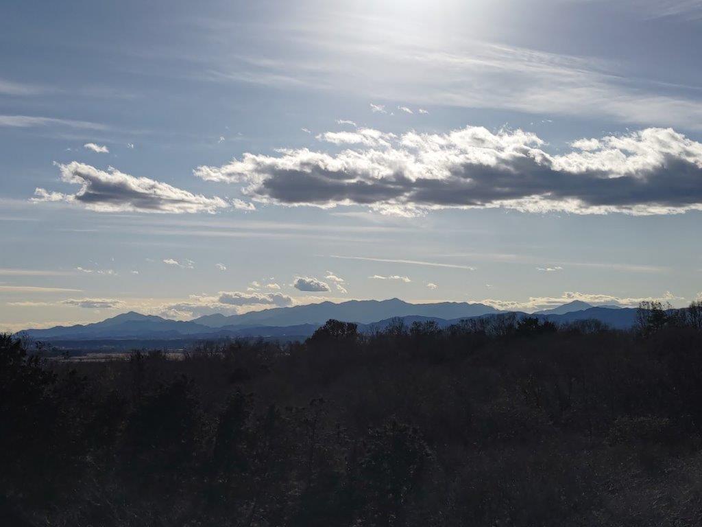
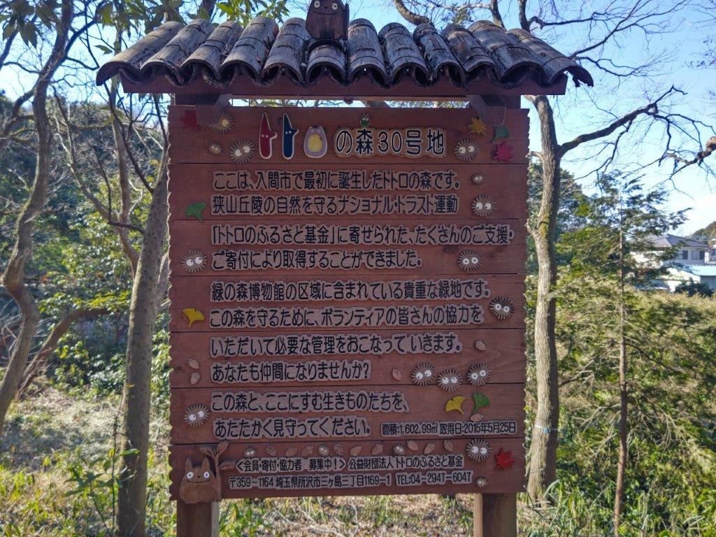
I had a view of the Chichibu mountains, clearly visible on this cold winter day, from behind the shrine. I followed the gently sloping path up to the Sayama Lake Perimeter Road, but almost immediately took a side path leading directly to the Saitama Green Forest Museum (緑の森博物館), a small, free museum at the edge of Dragonfly Marsh (トンボ湿地), also the location of Totoro’s Forest #30.

Walking along the Sayama Lake Perimeter Road

Exploring the paths around the Nishikubo Marsh

I had a view to the north of faraway Mt Akagi, covered in snow, from an open, elevated space behind the museum. I set off again through the marsh and soon arrived at a intersection, where I turned right. This new path led to Nishikubo Marsh (西久保湿地), not much to look at in the middle of winter, but probably a great place to wander around in summer. I made a quick detour along a backstreet to check out the nearby Nishikubo-Kannon Temple.

Intersection at the edge of the Nishikubo Marsh

View towards the mountains of western Tokyo near Nishikubo-Kannon

From there, I had another view of the mountains of western Tokyo, extending northwards; the clouds had started to roll in, making me wonder how much longer the sun would last. I reentered the woods and after a long, gradual climb, arrived once more at the Sayama Perimeter Road (狭山湖外周道路), which I followed for a short while, before turning right onto the ridge trail for Takane (高根). However, I very soon took a left, heading down some steps.

Path for Yato 谷戸 (left) / Staircase for Asama Shrine (right)

Walking through the North Sayama Valley

I followed a narrow path next to a brook through the North Sayama Valley (北狭山谷); it soon turned into a wider path, ending near some ponds at Tanoiri-Yato (田ノ入谷戸). I was now inside Noyamakita-Rokudoyama Park 野山北六道山公園. I left it briefly to follow a road leading to Takaneyama park (高根山公園), from where I walked up the Takaneyama Walking Trail, and upon reaching a road, continued till the Rokudoyama Park Observatory (六道山公園 展望台), on top of Mt Rokudo, a Tokyo 100 famous mountain.

Heading towards the Triangulation Point

View of the Tanzawa Mountains from the Mt Rokudo Park Observatory

From the top, I had a view southwest of Mt Fuji and the Tanzawa mountains, and west of the Okutama mountains. After a short break, I retraced my steps, then took a left over a bridge, arriving at a triangulation point (194m) at 3pm. I took the Oiseyama Walking Trail, past Mt Atago (190m 愛宕山). I soon reached the tiny Asama Shrine (浅間神社), and went down a wooden staircase, ending at another shrine, and the end of the trail. After a 15 minute walk through Mizuho Town, I reached Hakonsegaseki station around 4pm.

Watch a video of the Mt Rokudo Hike

Mt Sekison (571m), Annaka City, Gunma Prefecture, Saturday, January 7, 2023

I wanted to use the Tokyo Wide Pass for the long first weekend of 2023. I searched my maps for some low-altitude mountains near a shinkansen station and finally found a series of minor summits, part of the Annaka Alps, north of Annaka-Haruna station, one stop from Takasaki on the Hokuriku line. I had often passed through this station on the way to and from Karuizawa, so I was glad for a chance to finally get off there. The hike through these hills was relatively short, but could be extended by following the Kanto Fureai no Michi, as it headed south from Mt Haruna. Upon reaching a road, I could catch a bus back to Annaka station on the Shin-Etsu line, therefore completing an “Annaka to Annaka hike” of my own creation.

Hiking with the Tokyo Wide Pass

Hiking the Kanto Fureai no Michi 関東ふれあいの道

Hiking the Annaka Alps 安中アルプス

View of the hike from Kanbai Park

I reached the Annaka-Haruna at 11am on a sunny winter day and was stunned by the clear view of Mt Myogi from outside the station. Half an hour later, I was walking up a road on the north side, and soon spotted a signpost for a trail on the right. I followed a narrow path as it went through a bamboo forest, then merged with a forest road, before reaching a parking lot at the end of a paved road. On the other side, the trail continued up a series of log steps through beautiful forest.

View of Mt Myogi from Annaka-Haruna Station

Start of the trail leading to the “47 statues”

I suddenly found myself walking under a cliff, and felt nervous about rockfall, something I hadn’t expected on today’s hike. I had arrived at a historical site called “The statues of the 47 loyal retainers of Ako-Gishu” (赤穂義士四十七士石像), in memory of the 47 Ronin. After quickly confirming that there were indeed 47 statues along the base of the cliff, I set off again, up a steep trail winding around the back of the rocky outcrop.

A log staircase going up through sunny forest

The trail passes near the base of a rocky outcrop

As I neared the top, I stepped into a hole hidden by dead leaves and banged my knee on a rock; fortunately, it was more fright than harm. A few minutes later, I reached the summit of Mt Goten (御殿山 400m); it was completely in the trees so I soon moved on. I followed a mostly level trail through a dark cedar forest till it ended at a dirt road. Using my map, I quickly picked up the trail again, as it led to the top of a hill.

The hike alternated between sunny and shady sections
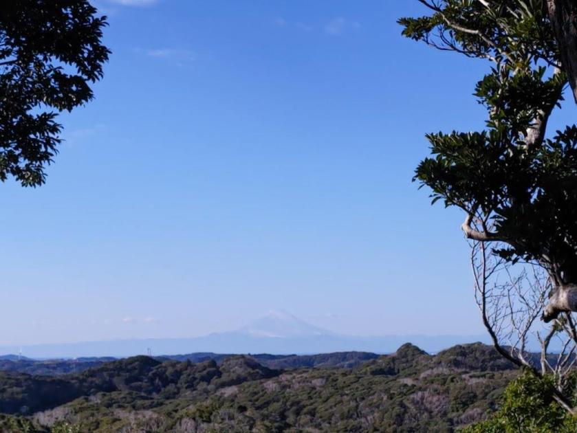
Hiking through the winter woods

I was now walking on a sunny level path, with glimpses of Mt Haruna on the north side, through leafless trees. At 1pm, I arrived at the summit of Mt Sekison (石尊山 せきそんさん sekison-san), a gunma 100-famous mountain, and rested on a bench with a narrow view to the south. After lunch, I followed a path down the other side, and after crossing a road, walked up the next hill. I soon passed the summit of Mt Toya (605m 戸谷山 とややま), in the trees, and headed down the other side, arriving at the Kanto Fureai no Michi at 2pm, where I turned left.

Most of the trail was easy to walk

The entire hill range is known as the Annaka Alps

I followed a pleasant trail, downhill through sunny forest, with occasional views of the Joshu mountains, reaching a road and a bus stop at around 3pm. I decided to check out the Akima Plum Grove (秋間梅林), a short distance away. From the highest point of Kanbai Park (観梅公園), I was rewarded view of the hills I had just hiked, as well as some early pink plum blossoms. I followed a different path through the park back to the road. There, I got on a bus for Annaka station, just 3 stops from Takasaki station, from where I could catch the shinkansen for the 40-minute ride to Tokyo.

See the views along the Mt Sekison hike
See more pictures of the Mt Sekison hike

Hitorizawa & Segami Community Woods Hiking (highest point 130m), Yokohama City, Kanagawa Prefecture, Tuesday, December 27, 2022

This was my 3rd hike in the southern part of Yokohama city. This wooded, hilly area offers some of the best hiking close to Tokyo and is well-suited for short winter walks. I had already hiked through the Yokohama Nature Sanctuary, the Kanazawa Nature Park, as well as the Kanazawa, Segami and Kamariya woods; this time, I wanted to explore the Hitorizawa woods on the northeastern side, and check out some more trails in the Segami woods.

Sunny spot at the start of the Hitorizawa trail

I would take a bus from Yokodai station on the Negishi line to the trailhead; rather than finish at Konandai station on the same line, I could take another bus to Ofuna station on the convenient Shonan-Shinjuku line, less than an hour from Ikebukuro. Although I wouldn’t be summiting any mountains, I could expect a view of Mt Fuji from Isshindo plaza at the mid-way point. I was looking forward to a short relaxing walk through the woods on a sunny winter day.

Nearing the Nabana rest area (left) / Hitorizawa creek (right)

After getting off the bus on a busy road near Hitorizawa Shrine (氷取沢神社), I followed the signposts through some backstreets, reaching the start of the trail Hitorizawa Community woods trail (氷取沢市民の森ルート) at 1pm. At the top of a staircase, I was pleased to discover a wide, level path leading through the forest. I soon reached the first viewpoint of the day at the Nabana rest area (なばな休憩所) above a road and a toll gate. Looking southeast, I could see the low-lying Miura peninsula, and behind, Mt Kano and Mt Nokogiri on the Boso peninsula.

Wooden causeway near Oyato plaza (left) / Climbing made easy (right)

I continued along the path as it descended into a small valley. I soon arrived at a bridge over the Hitorizawa creek (氷取沢小川) and a junction: the path on the left led to Kanazawa zoo, and the one on the right followed the creek back to the bus store. I went straight, and after going through some fields and under a highway bridge spanning the valley, arrived at Oyato Plaza (おおやと広場). I was now walking on wooden causeway along a cool, shaded valley, parallel to the creek.

View of Mt Fuji from Isshindo Plaza

Very soon, I was back on a trail leading up through the woods, but still easy to walk thanks to the use of wooden logs. At 2h30, I left the Hitorizawa woods and arrived at Isshindo Plaza (いっしんどう広場 130m), the highest point of the hike. As on my two previous hikes, Mt Fuji, Hakone and the Tanzawa mountains were clearly visible on the west side. After enjoying a late lunch, I followed the ridge trail (尾根道) south, towards the sun.

View south towards Kamakura

After a few minutes, I turned right, down the hillside, and passed the Bato-no-oka rest area (馬頭の丘休憩所 meaning “horse head”). Although I was at the edge of the city, the rooftops of the houses visible above the trees, I could hear, and sometimes see, squirrels scampering along the trees branches in the late afternoon sun. At 3h30, I reached a junction before the Uma-no-se rest area (馬の背休憩所 meaning “horse back”), and took the smaller branch to the right.

Following the ridge trail (left) / Between the horse’s head and back (right)

I followed the winding trail as it descended into another wooded valley inside the Segami Community Woods (瀬上市民の森), the sun now only reaching the top ridge. At the base of a staircase, I finally arrived at the peaceful Segami pond (瀬上池). From there, I followed a dirt road alongside the Segami creek (瀬上小川) through a habitat for dragonflies and fireflies, although none could be seen in this season. At 4h30, just as the sun was setting, I reached the bus stop for Ofuna station next to the Hongo bus depot, from where it was short train ride back to the city center.

The peaceful Segami lake near the end of the hike

See a short video of the Hitorizawa Creek

Mt Takatsuka (216m), Minamiboso City, Chiba Prefecture, Tuesday, December 20, 2022

This is a hike from my mountains of Chiba guidebook. Although it can be done as a day trip, by walking one hour from Chikura station on the Uchibo line, I decided to drive from Tokyo and spend the night at Nojima cape, the southernmost point of the Boso peninsula; from there, it was a short drive to a parking near the trail entrance. I had done many hikes on the Boso peninsula, but it would be my first to hike in Minami-Boso.

View of the Pacific from the summit

Walking to the trailhead through the fields

I had been wanting to climb this low peak for several years, but had to be patient since the hiking trail was closed for a while after the powerful typhoons of 2019; online reports showed that the path was now more or less back to normal. After heading straight up the mountain, I go down following the ridgeline, and then walk back through the countryside. The weather was supposed to be sunny and so I was looking forward to new views in a new area.

View of the forested ridge through a break in the trees

Late autumn leaves on the summit

I drove along the Pacific coast under the late morning sun to the nearby Nanbo Chikura Bridge Park Parking (南房千倉大橋公園), from where it was a 20 minute walk to the trailhead next to a temple. At 1230, I started up a series of steps, following the winding path through the evergreen forest of Japanese stone oaks (マテバシイ matebashii). Very soon the trail became level and the forested summit ridge appeared through a break in the trees.

Fantastically shaped trees along the summit ridge

Summit shrine (left) / Valley bottom lake (right)

A little further, I passed under a stone Shinto gate at the top of a flight of steps, looking like the entrance to some long-lost ruin. I then made my way up a steep, muddy path, being careful not to slip, and at 1pm, emerged onto the flat summit of Mt Takatsuka (高塚山 たかつかやま takatsukayama), a kanto 100 famous mountain; the summit marker, wrecked by the typhoon, and had yet to be replaced and was nowhere to be seen.

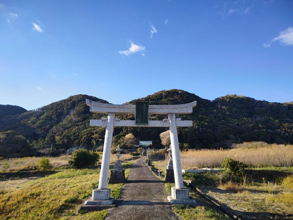
Shinto gate at the mountain base (different from the one on the mountain itself)

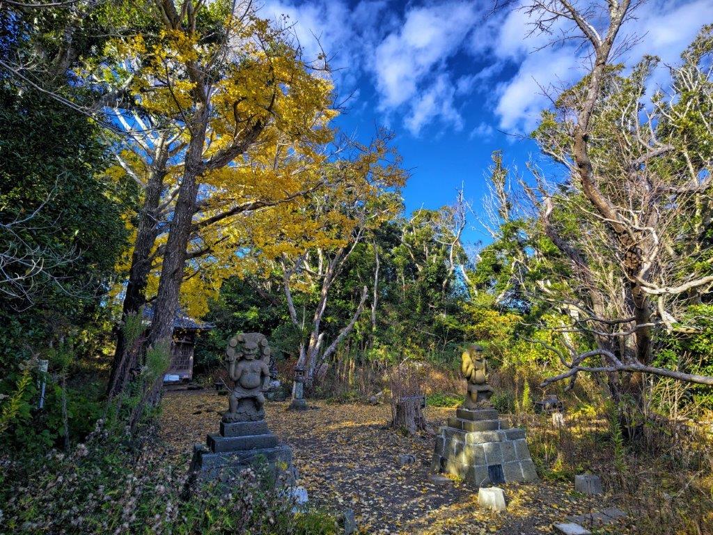
Temple at the base of Mt Takatsuka

I was surprised to see a towering oak above a tiny shrine, its yellow trees still clinging on at the very end of autumn. On one side was a bench in the sun, with a view of the Pacific ocean, the perfect spot for lunch on a cool day. Before heading down, I explored a path behind the shrine building leading to a view point from where I could make out the faint outline of Mt Fuji. Once back down at the stone gate, I took a small path on the left side.

Mt Takatsuka in the late afternoon sun

Heading back through the fields

I marveled at the fantastic shapes of the tall trees as I followed the ridgeline northeast, here and there broken branches sill on the ground. The path descended gradually into a quiet, forested valley and ended at a peaceful lake, next to a paved road. After enjoying this magical spot, I walked down the road to the base of the mountain. From there, I followed a footpath through fields, golden in the late afternoon sun, past the starting point of the hike, and arrived back at my car just after 3pm.

See the views of the Mt Takatsuka hike

Slideshow of more photos from the Mt Takatsuka hike

Kanhashu Viewpoint (771m), Hanno City, Saitama Prefecture, Monday, June 13, 2022

I wanted to do a half-day hike near Tokyo to escape the early summer heat and humidity. Poor weather had prevented me from going as planned on the weekend but fortunately, an opportunity presented itself to go the Monday right after. I decided to visit a viewpoint in Oku-Musashi, which I had last visited about ten years ago. I could take the limited express “Laview” train to Nishi-Agano station; it made a special stop there during spring and autumn. After reaching the highest point, I could descend via a different trail to “Kyuka Mura”, where I could enjoy a hot spring bath; day trippers were only allowed on weekdays, so it was a good chance to drop by. Afterwards, I could use their free shuttle bus to get to Agano station on the Seibu-Chichibu line. The weather was supposed to be cloudy and cool in the early morning, turning sunny and warm in the mid-morning. I hoped that I could reach the top before it got too hot, and was looking forward to revisiting a favorite spot after several years.

Good visibility from the Kanhashu Viewpoint

Looking East towards the Kanto Plain

I was slightly disappointed to see that the sky was still completely overcast after arriving at the tiny Nishi-Agano station around 8h30. I walked a short way along the road to the trail entrance and surprised a black and white cat sitting in the tall grass nearby; it escaped into the forest before I could say “hi”. I followed the wide path, labeled as the “Panorama Route” on my map, up a green valley alongside a tiny brook.

An easy path to start the hike with

Although it was called the Panorama route, there were few views

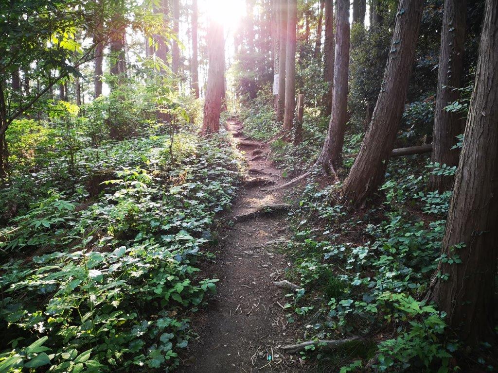
At 9am, I reached an open space offering a view of the forested valley and neighbouring hills. The path narrowed and after a couple of switchbacks up a shoulder of the mountain side, entered the forest and started to climb more steeply; half an hour later, it merged with another path coming from the left and became level. I found this part of the hike very pleasant, as sunshine was now filtering through the trees and the birds had started to sing.

Mt Fuji, barely visible from Takayama

Out of the forest and through the flowers

At 10am, I reached a road with a viewpoint and was excited to spot Mt Fuji in the distance. After admiring its still snowy cap, I picked up the next part of the path less than a hundred meters away, opposite a signpost for Takayama (高山), a place I would return to later; I was now on the well-trodden Kanto Fureai no Michi. After crossing the road a second time, the trail finally emerged from the forest and passed through some Kalmia bushes (カルミア) covered in white flowers.

View south towards Okutama, and lost in the clouds, Tanzawa

The Musashi hills fading into Musashi

I hoped this was the last climb of the day as the sun was shining directly above and it was starting to feel quite warm. At 10h30, I was relieved to reach the Kanhashu viewpoint (関八州見晴台 かんはっしゅうみはらしだい kanhasshuu-miharashidai), which translates as the Kanto 8 provinces lookout and refers to its historical role. There was an open shelter and a number of trees providing some welcome shade. I took a break on a bench to enjoy the view and a late breakfast.

A better view of Mt Fuji from the highest point of the hike

One of the few paths with a view in Oku-Musashi

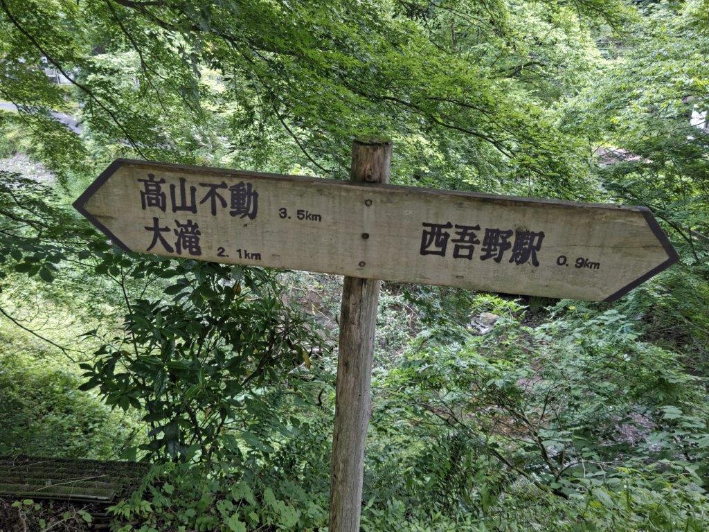
The view was better than I had remembered: to the west, the Oku-musashi hills melted into the Kanto plain; to the south, they merged with the Okutama mountains; Mt Fuji was visible behind the long flat summit of Mt Bonomine; closer by were the Hanno Alps on the other side of the Agano valley; supposedly, Mt Akagi and the peaks of Oku-Nikko could be seen on the north side, but today they were lost in the haze. At 11h30, I made my way back to Takayama and Takayama-Fudoson Temple (高山不動尊), just off the main road.

View of Oku-Musashi between Takayama and the Takayama-Fudoson Temple

The main building of Takayama-Fudoson Temple

I was astounded to see such a magnificent structure in the middle of the forest; it’s these kind of moments that make hiking in Japan so rewarding. I returned to the road and soon rejoined the hiking trail again, leading back into the forest. After a few minutes, I reached a junction where I turned right. The path was pleasantly level for a while, but then proceeded to rush straight down the mountain, ending at a lovely stream.

A glimpse of “Holiday Village” (on the left)

Crossing the Koma river

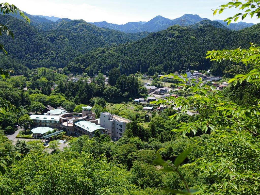
After crossing a rickety bridge, I emerged into a narrow, sunny valley at around 12h30. I noticed a small house on the right, meaning I was getting near the end of today’s walk. However, it took another half hour of small ups and downs, a couple more bridges and road crossings, to finally arrive at Kyuka Mura Hot Spring (休暇村 meaning Holiday Village), nestled in a bend of the Koma river. After an enjoyable hot bath, I hopped on the shuttle bus for Agano, where I boarded the local line to Hanno and then transferred to the limited express for the forty-minute ride back to Tokyo.

See the views from the Kanhashu viewpoint (in 4K)

Mt Otakatori (376m), Ogose Town, Saitama Prefecture, Sunday, May 22, 2022 [with 4K video]

I wanted to do a late afternoon hike close to Tokyo since the weather had suddenly become quite warm; I also wanted to try out the camera of my new smartphone. I chose a relatively low mountain I had climbed six years ago, which I could redo using different trails. I would take a train to Ogose in the early afternoon, have a soba lunch near the station, and finish the hike at a hot spring facility, newly opened since my previous visit; afterwards, I could use the onsen shuttle bus to return to Ogose. The weather was supposed to be sunny in the daytime and overcast in the evening. I was looking forward to doing another hike in the forests on the eastern edge of Oku-Musashi.

View from the top of Mt Otakatori

View form Nishiyama-Takatori

I arrived at Ogose station at 2pm, the hottest time of the day, and quickly made my way to Yoshiro (よしひろ), which I reached just at the end of the lunch time. After a satisfying soba meal, I walked another 15 minutes to the start of the trail inside the Go-Daison Azalea Park (五大尊つつじ公園). The flowering season was already over and the park was deserted. I found a small path through the forest, not on my map, but which led to a viewpoint of Ogose Town at the Tomb of the Unknown Soldier of the World (世界無名戦士之墓), on the 2nd floor of a gleaming white monument.

Path to the tomb of the unknown soldier of the world

View from the monument of the unknown soldier

I had an excellent view of the Kanto plain thanks to the clear May weather, despite being less than 200 meters high. Behind the monument was the start of the trail up today’s mountain. It was about 4pm and the temperature was just right for some light hiking. After a short climb, I arrived at Nishiyama-Takatori (西山高取 271m), not a summit, but a shoulder on the mountain with a view east through the trees. It was also the intersection of several paths; after checking my map, I went south down some steps, before turning right at a T-junction.

Steps leading down from Nishiyama-Takatori

A trail mostly through the forest

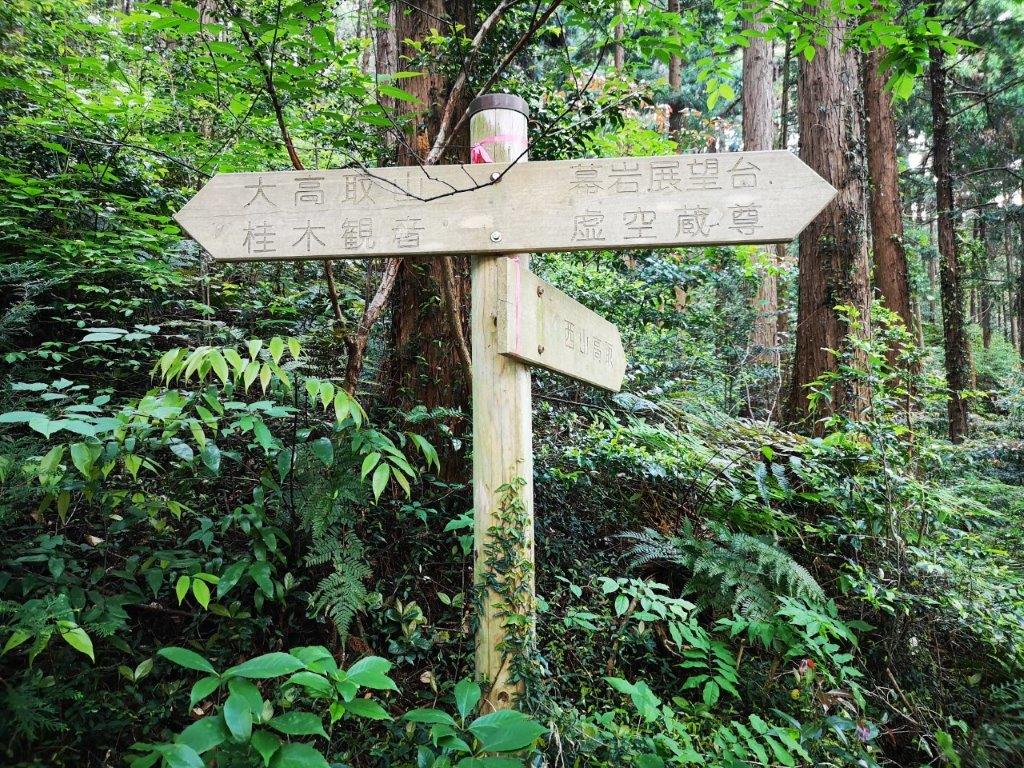
I followed a pleasant level path through the green forest, stopping now and then to listen the sound of birds singing. I passed a group of white limestone rocks (白石様 shiraishi-sama) and a minor summit named Mt Nekko (根っ子山 324m), both completely in the trees. Around 5pm, I started to climb again, and after reaching a forested ridgeline, turned left. A few minutes later I was on the top of Mt Otakatori (大高取山 おおたかとりやま ootakatoriyama), where I had a view eastwards through a break in the trees. After a short break, I continued south along the summit ridge, reaching another minor peak, Mt Katsuragi (桂木山 367m) just before 5h30.

An easy to walk trail

Late afternoon on Mt Otakatori

The gloom was starting to gather, so I took the next path down, a shortcut according to a handwritten sign. I had passed some hikers earlier, but now I was all alone, except for a large animal I heard but never saw. The path became level and easy to walk, luckily, since visibility was dropping fast. Around 6pm, I passed another viewpoint on top of a hill, but not much to see under the grey clouds. A few minutes later I emerged onto a road inside O-Park Ogose ( オーパークおごせ). After a quick hot bath, I boarded the free shuttle bus for Ogose station where I caught the Tobu line for the one hour ride back to Ikebukuro.

See the green and hear the birds of Mt Otakatori in 4K

Mt Arikasa (873m), Nakanojo Town, Gunma Prefecture, Sunday, May 8, 2022

I wanted to squeeze in one more hike before the end of Golden week after recovering from the three previous ones. I decided to visit Nakanojo in Gunma, as it was an area I was interested in exploring more. I found a three-hour loop in a booklet I picked up on my last visit; this mountain wasn’t in my guidebook, nor shown on any of my maps, so I had to rely on information online. I would ride the shinkansen to Takasaki, where I would transfer to the Agatsuma line. After getting off at Nakanojo, I could catch a bus for Sawatari Onsen, the last stop on the line. The hike itself went around a rocky, isolated peak, also a popular climbing area, with a short round-trip to the flat top on the south side. I was concerned about that part, as it included chains and ladders; I would have to proceed with caution going up, and even more on the way down. The weather was supposed to be clear and not too hot. I was looking forward to going to Nakanojo again and visiting a new hot spring town hidden in the mountains of Gunma.

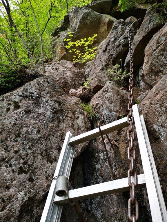
View west from below “The Ladder”

Bus heading back to Nakanojo with Mt Arikasa in the background

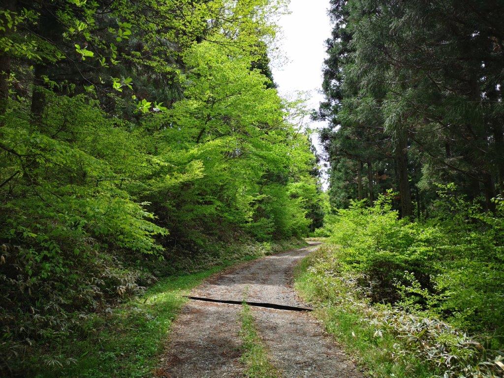
It was a blue sky day as I rode the shinkansen, and then the local train, to Nakanojo. Around 10h30, I boarded a bus for Sawatari Onsen (沢渡温泉), my first time to ride this line. I got off at the last stop, just past the hot spring town, near a bridge over the Sawatori river. Straight ahead, I had a good view of today’s mountain, an isolated peak jutting straight up out of the green forest. As I got ready at the nearby Seseragi Park (せせらぎ公園), I wondered how the trail would get to the top of the rock. At 1130, I set off along a road, and half an hour later, just before another bridge over the river, I turned left onto a forest road.

Forest road leading to the West Entrance

Interesting rock formation in the middle of the forest

I had some more impressive views of today’s climb, after arriving at a fork in the road. I took the right branch for the West Entrance (西口), which I reached a little after noon. I followed the trail straight up the mountain side and soon reached an open shelter in the middle of the forest. I took a short break and then continued on my way. At 12h30, I reached a turnoff for a natural rock formation, resembling a dolmen, visible through the trees on the right. After circling it and peering through the gap in the middle, I resumed my climb.

The funny “Hahaha” sign (left) / Climbing “The Ladder” (right)

Start of the climb up “The Ladder”

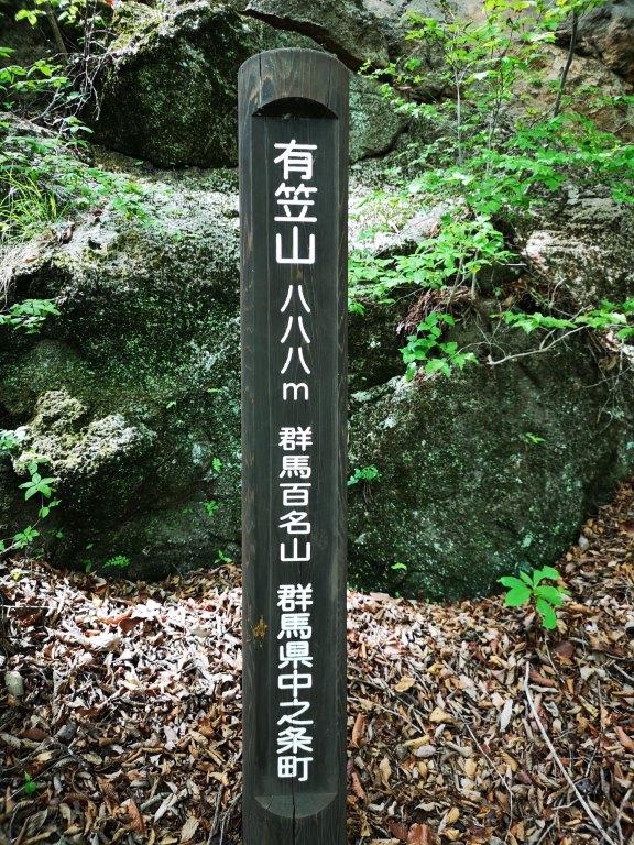
The path turned right under some cliffs, the higher parts hidden by the green canopy of the trees ; here and there, I spotted chains used by rock climbers. At 1pm, I arrived at the East Entrance (東口) trail junction and the start of the roundtrip for the summit; I followed the path as it wound clockwise around the steep summit and passed a funny sign informing me that I was at an elevation of 888 meters, read as “Hahaha” in Japanese (ハハハ). Very soon, I was walking through a rocky area with views to the west through the trees; looking down, I realised I was at the edge of a cliff.

View south from the rocky outcrop

The very green East Entrance

I had also reached the chain and ladder section, called “The Ladder” (梯子); I climbed with care, but near the end I couldn’t advance while keeping three points of contact at all times; after some consideration, I finally found a way, and after fixing it in my mind for the return, continued with the ascent, now in a counter-clockwise direction. A few minutes later, I reached a rocky outcrop from where I had a view south of forested hills. Soon after, I arrived at the flat top of Mt Arikasa (有笠山 ありかさやま arikasayama), a Gunma 100 famous mountain. I couldn’t see anything through the trees, so I headed back almost at once; I got down “The Ladder” safely, and since it was 1h30, found a good place to sit for lunch, at a safe distance from the cliff edge. Afterwards, I continued along the trail, now heading downhill towards the East entrance.

The well-maintained “promenade” above Sawatari Onsen

View of Sawatari onsen, a secret hot spring resort in Gunma

As I passed under the cliffs, I could hear the voices of climbers echoing above. I walked along the forest road to the junction I had passed earlier in the day, and then made my way back to Seseragi Park. Since it was just past 3pm, I decided to follow a “promenade” (遊歩道), a short, well-maintained trail on the hillside above the hot spring resort. It took me past a small shrine surrounded by bright red Azalea, with good views of Mt Arikasa and Sawatari Onsen. At 4pm, I dropped by Ryumeikan (龍鳴館), for a quick hot bath before catching the bus back to Nakanojo. Once back in Takasaki, I rode the green car of the Shonan-Shinjuku line back to Tokyo, bringing to an end a series of successful golden week hikes.

See the views along the Mt Arikasa hike