

I wanted to do at least one summer hike this year, as it had been 5 years since my previous one. I decided to visit Mt Takahara, a 200-famous mountain climbed during Golden Week 2018. This time, I would not head to the highest point, but instead hike on the high plateau that likely inspired the name of this ancient stratovolcano. Looking through my newly purchased “150 Best Tochigi Mountains” guidebook, I found a short and easy loop hike passing by a minor summit at the edge of the plateau, ideal for a hot August day.
Hiking on Mt Takahara and in the Nikko National Park
高原山 ・ 日光国立公園
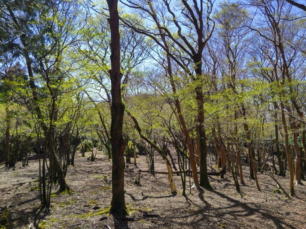
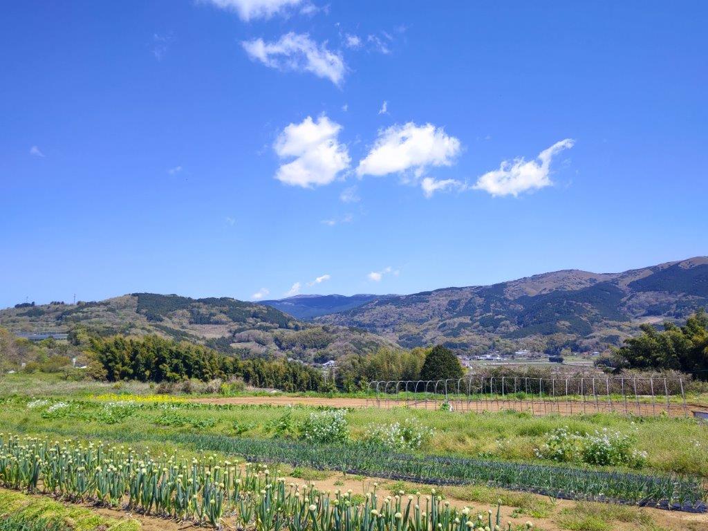
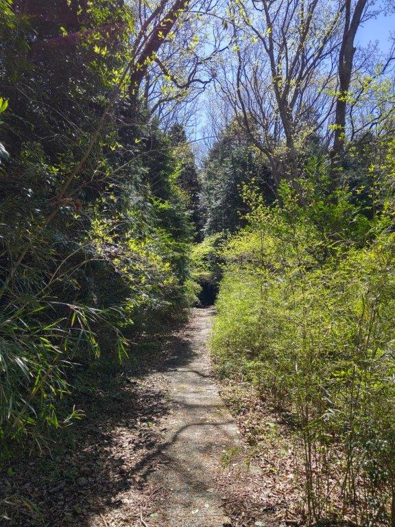
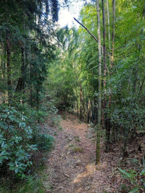
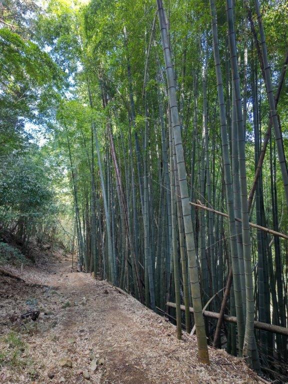
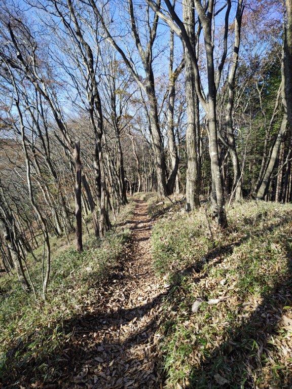
I would get to the trail entrance by car from Utsunomiya since no buses run all the way to the plateau. As the hike was relatively short, I could stop at a restaurant on the way for an early soba lunch. The weather was supposed to be mostly sunny, and less hot and humid than the previous weeks, although thunderstorms still threatened. The path was through a beech and oak forest, with a view of the Kanto Plain at the halfway point; after a one month break, I was looking forward to a relaxing stroll in nature and getting a nice view .
For subscribers, read this Blog Post on Hiking Around Tokyo for a better viewing experience and the latest updates

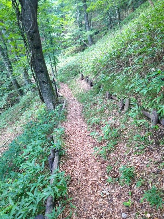
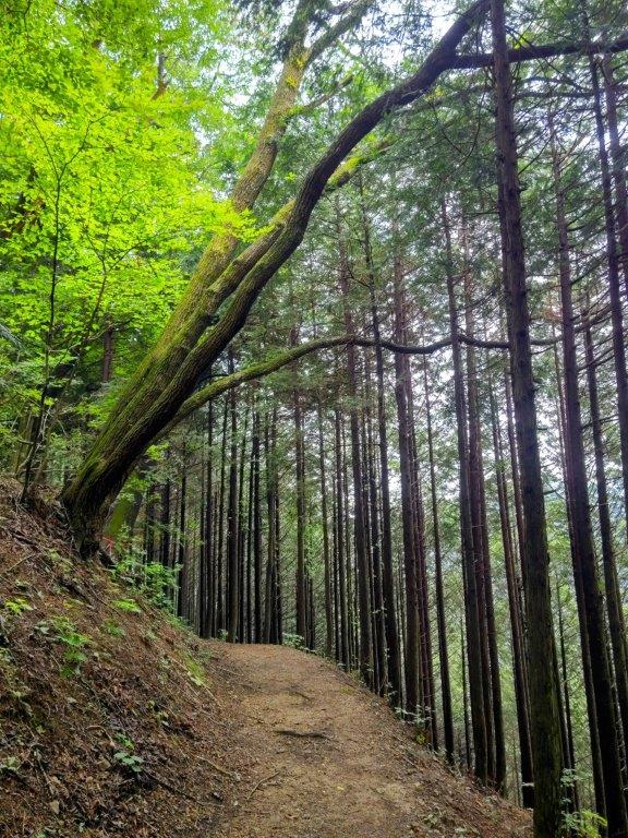
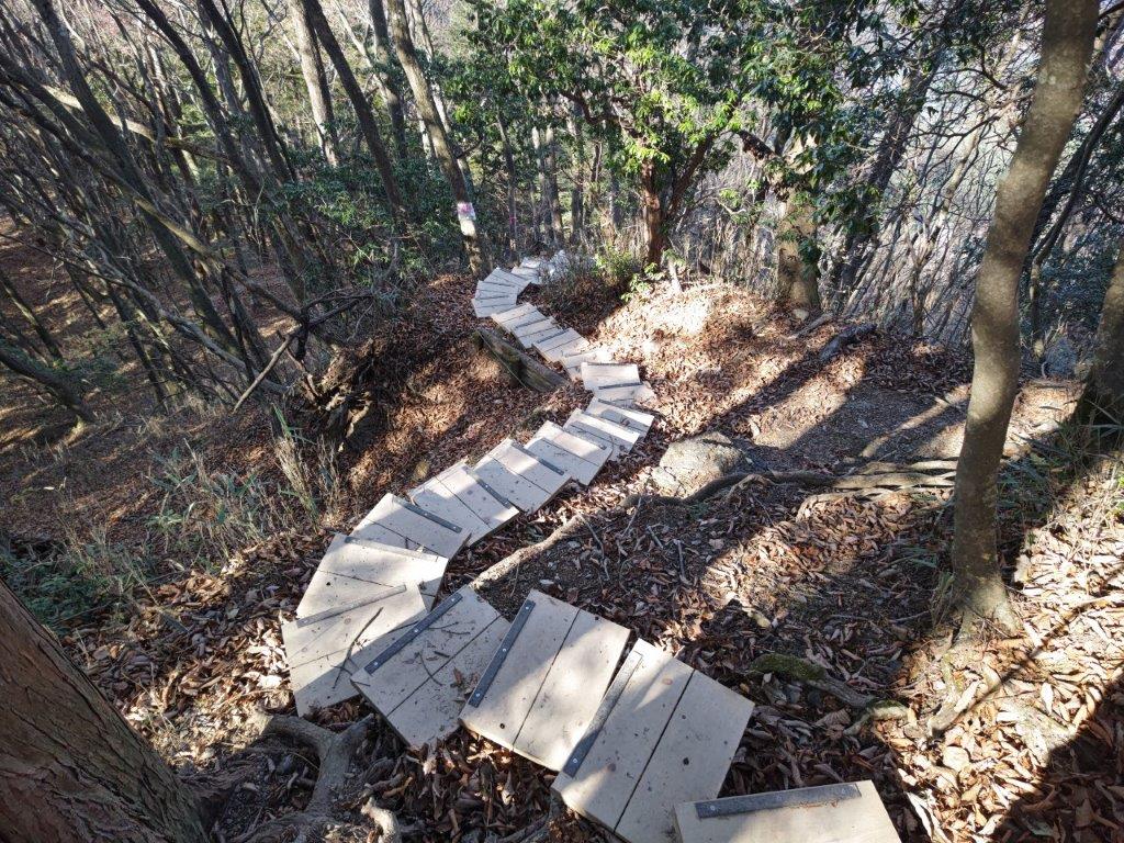
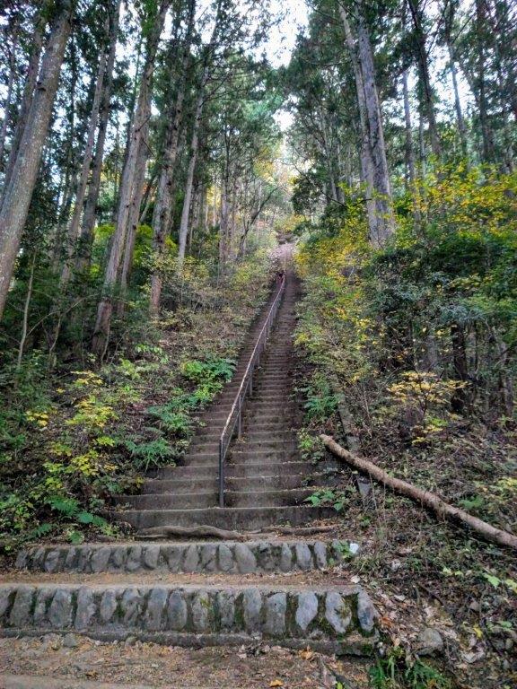
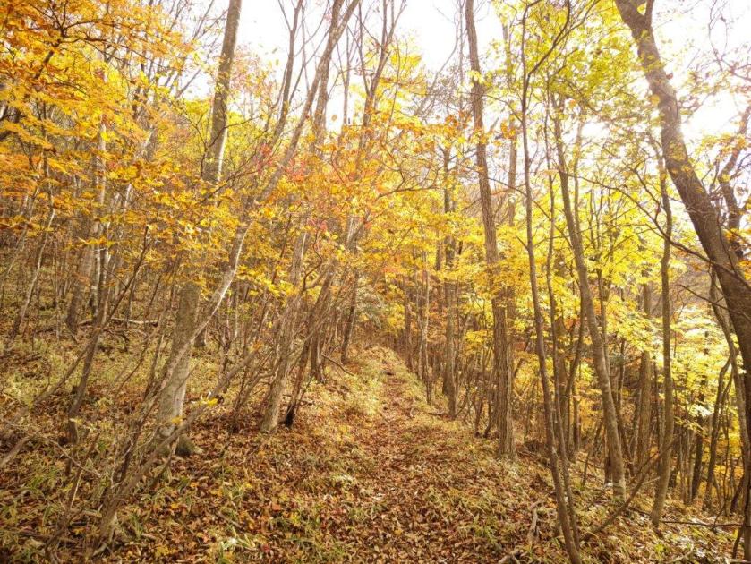
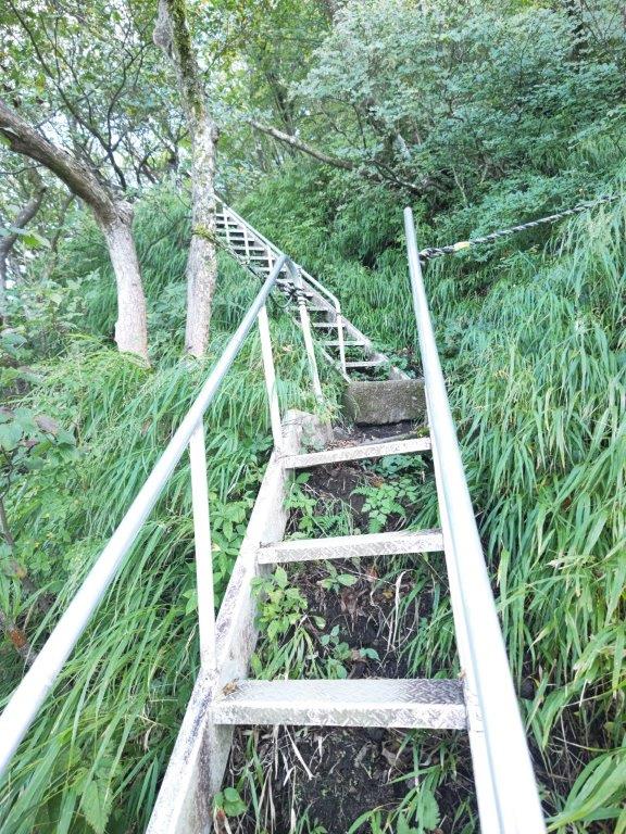
Steps at the Start of the Hike (left) Level Path for Most of the Way (right)
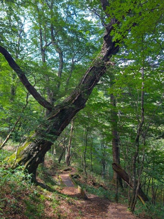

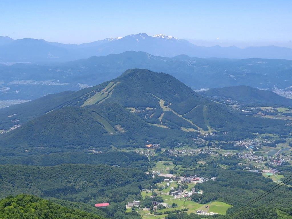
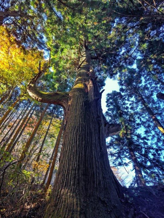
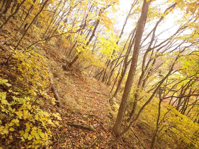
Looking Back at a Leaning Oak (left) Mistumochi Observation Tower (right)
At 10am, it already felt very hot under the sun as I walked through the streets of Utsunomiya towards my share car. After a one-hour drive, I arrived at Dattan Soba Juan (ダッタン蕎麦 寿庵) as it opened at 1130, and was lucky to snag the very last table. After a delicious meal of handmade soba and the biggest kakiage ever, I set off again, driving up a winding road through thick forest, arriving at the Omamadai Parking (大間々台) on Happogahara (八方ヶ原) at 1h30. I was surprised to see few cars, probably because the mountain is more popular in the spring and autumn months.
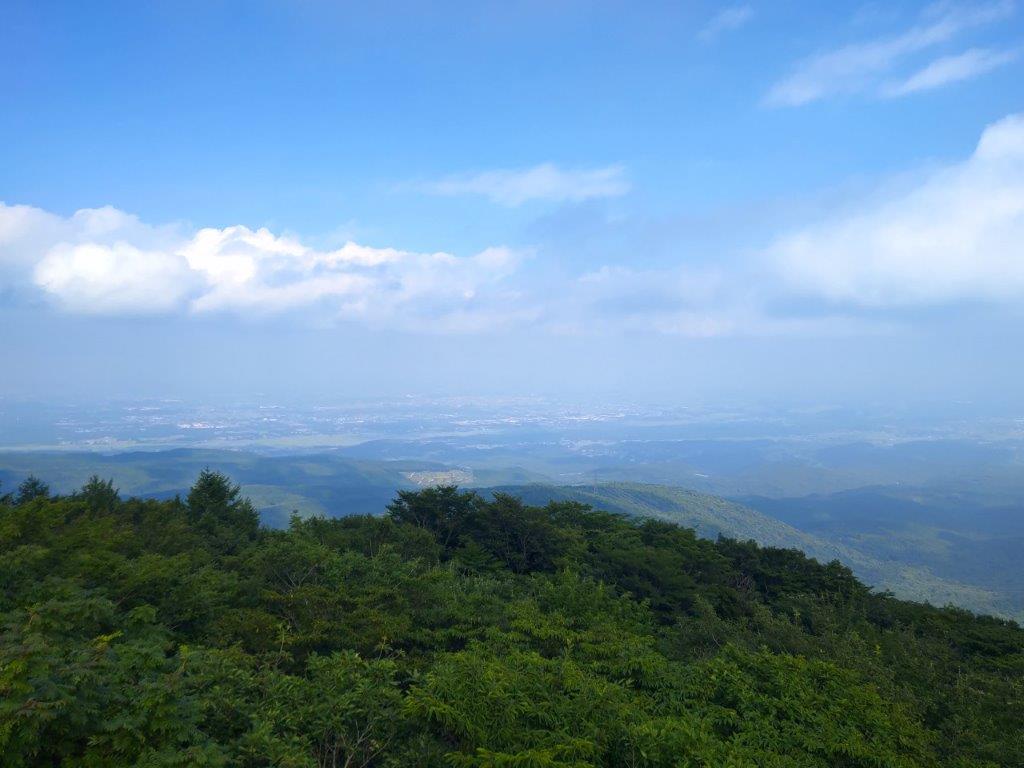
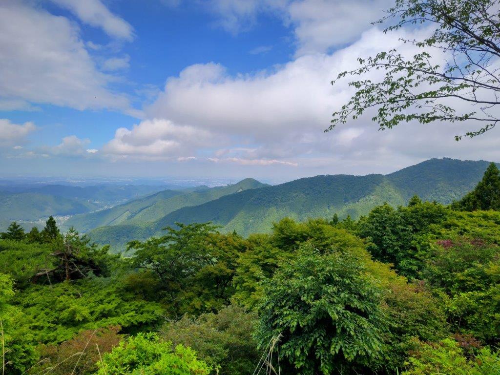
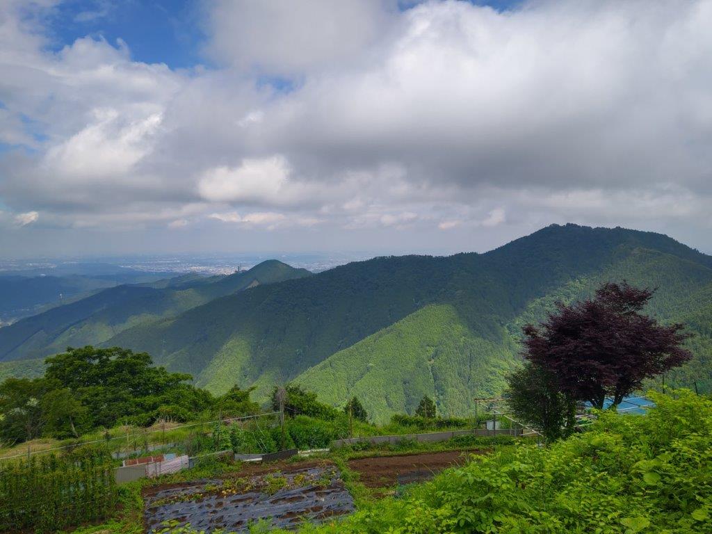
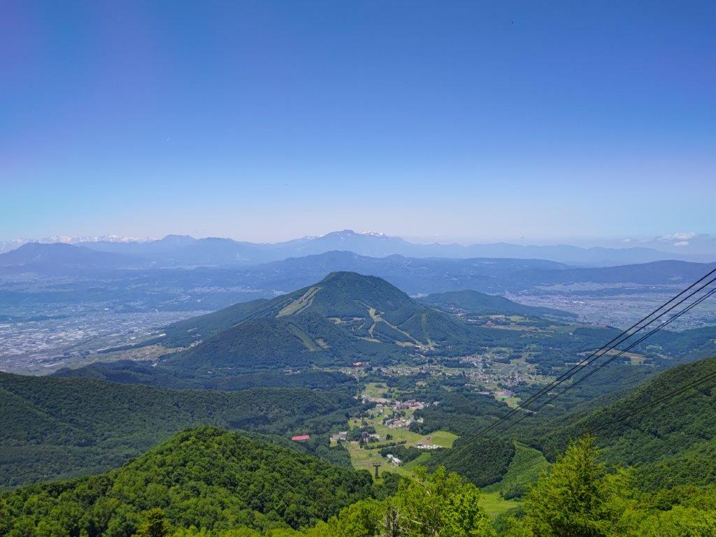
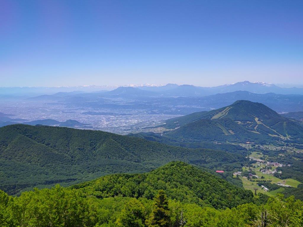
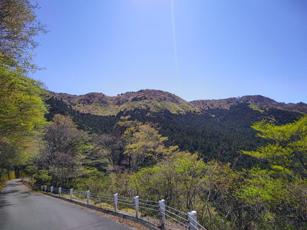
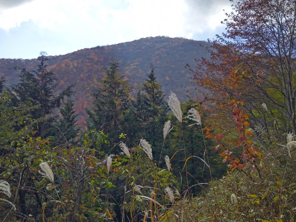
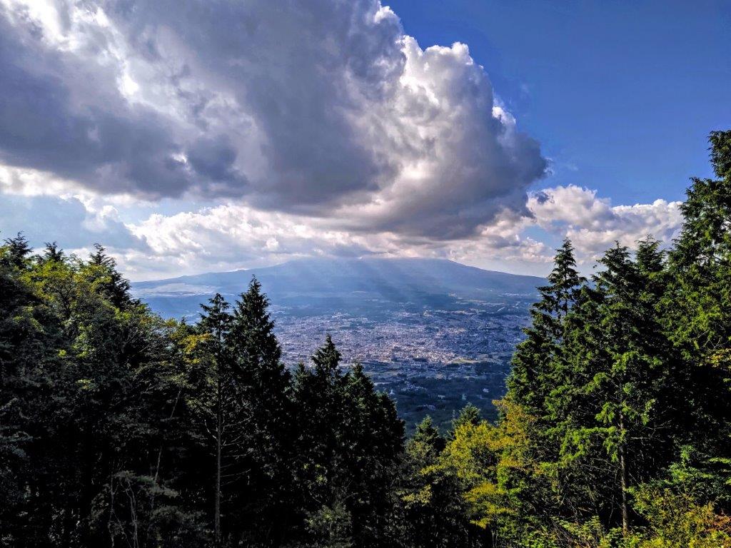
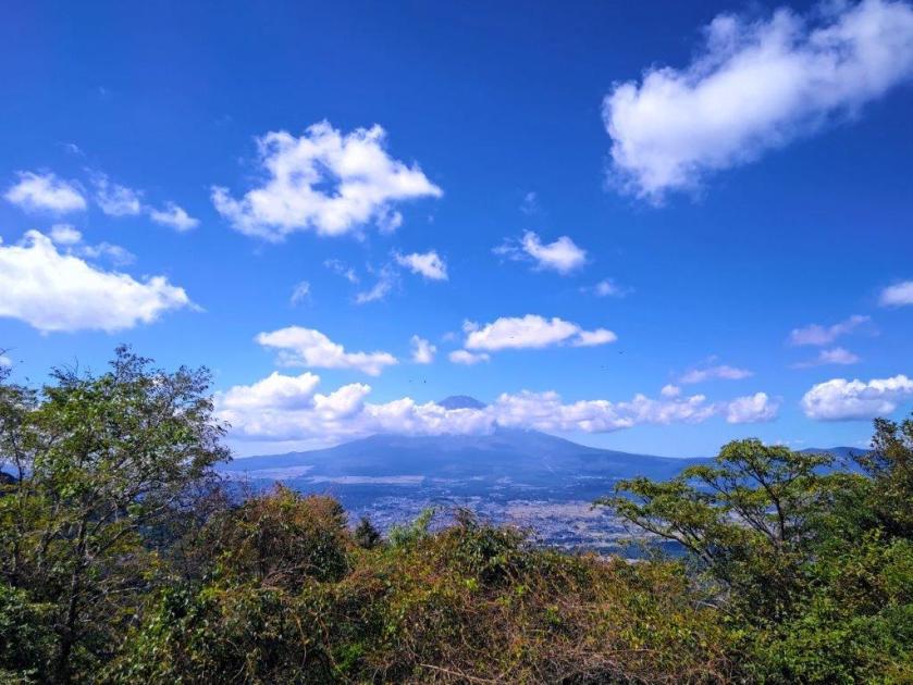
View of Forest and Clouds from the Omamadai Observation Tower
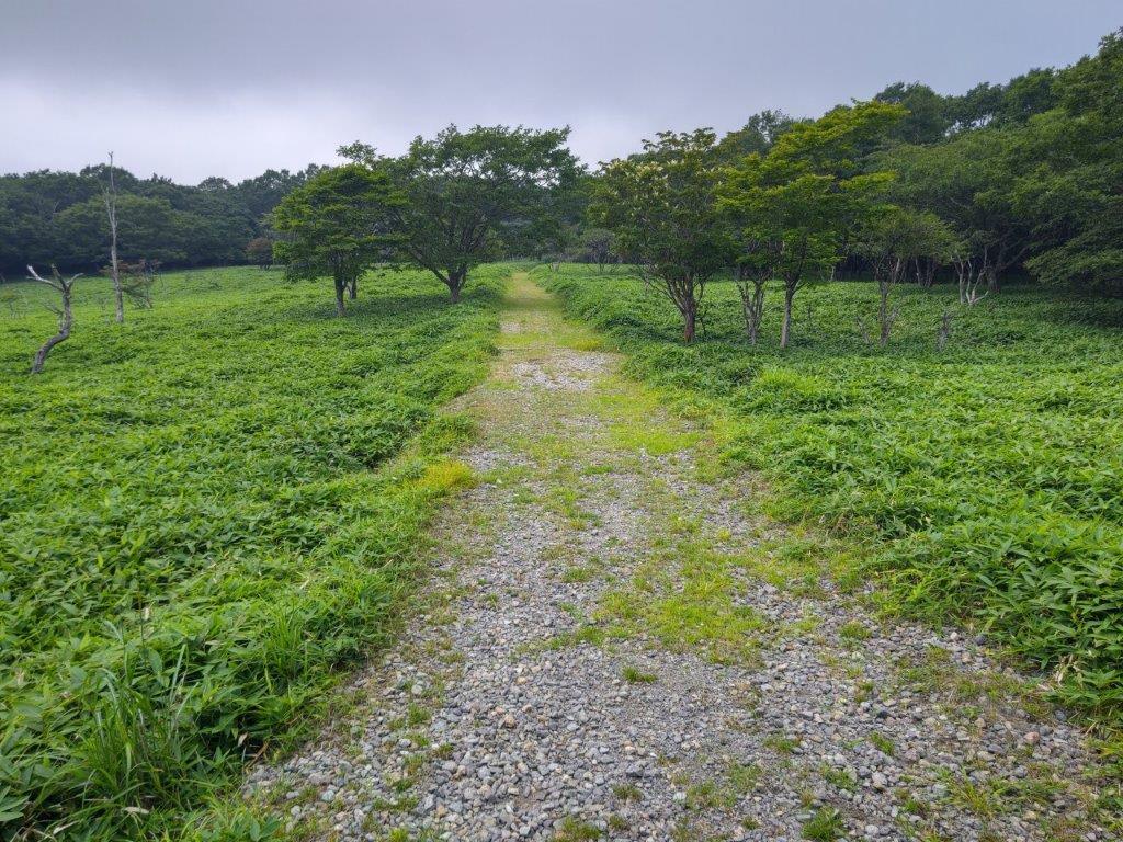
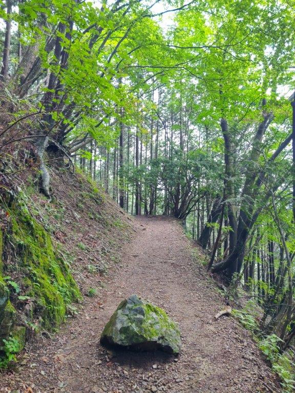
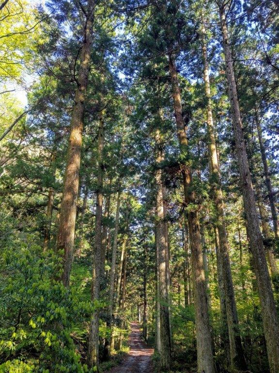
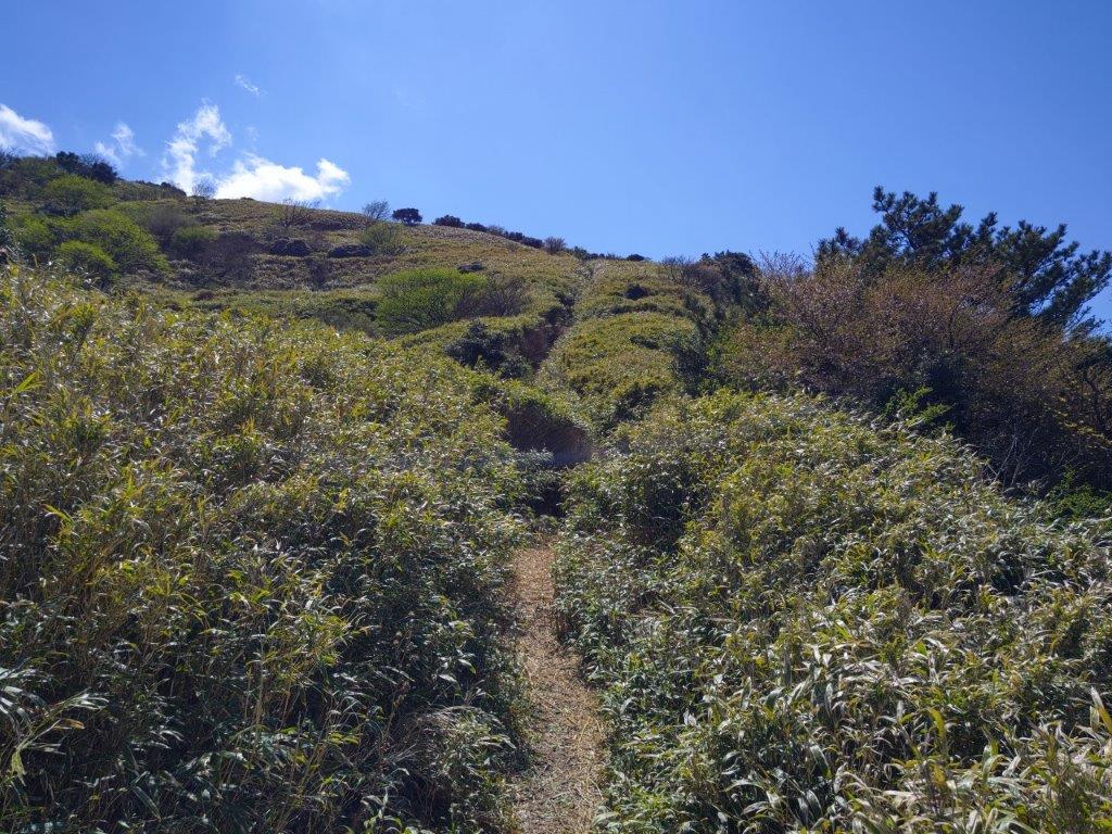
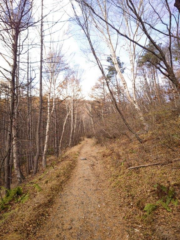
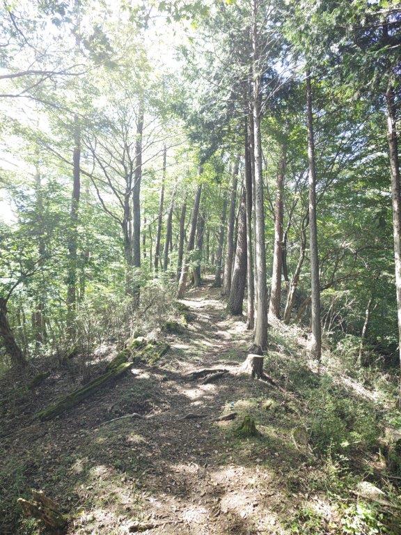
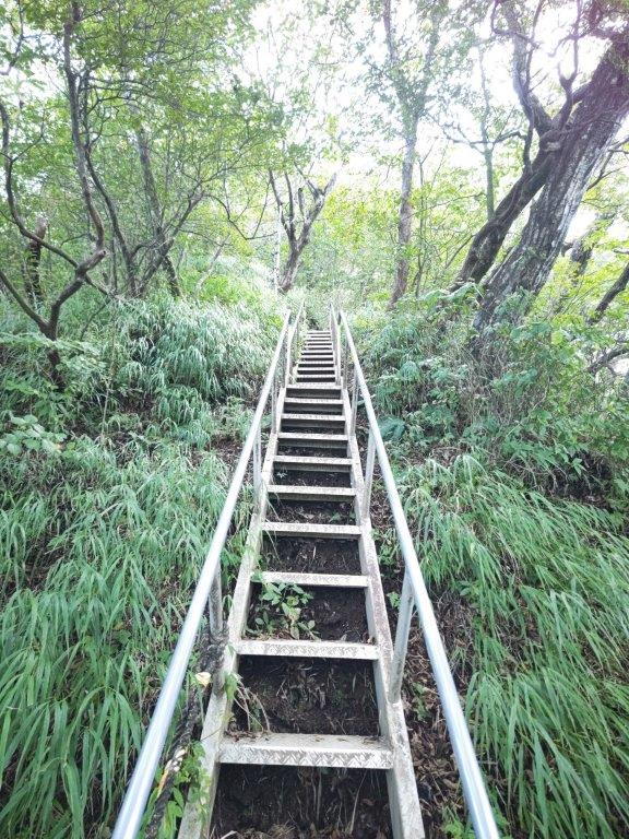
Mostly Gentle Slopes on this Hike
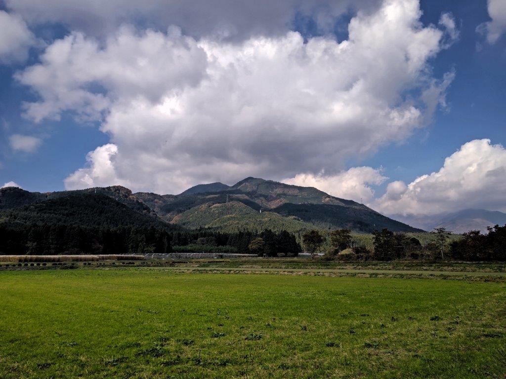
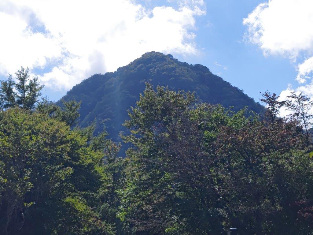
I was amazed by all the dragon flies buzzing around, using my car antenna as a handy perch. At 1280m, it felt cooler than the low-lying plain, although at nearly 25°C it was still above my comfort zone for physical activity. I checked out the view from the parking Observation tower, but Mt Shaka, the highest point of Mt Takahara, was hidden by a thick layer of clouds. I located the start of the Yashio Route (やしおコース), branching left from the main trail up the mountain; for a short while it headed down before becoming level. It felt refreshing to be walking under the tree shade inside the Nikko National Park; I met few people although insects were out in great numbers.
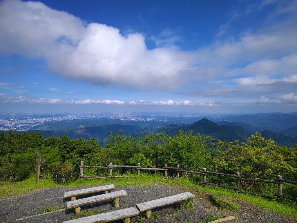
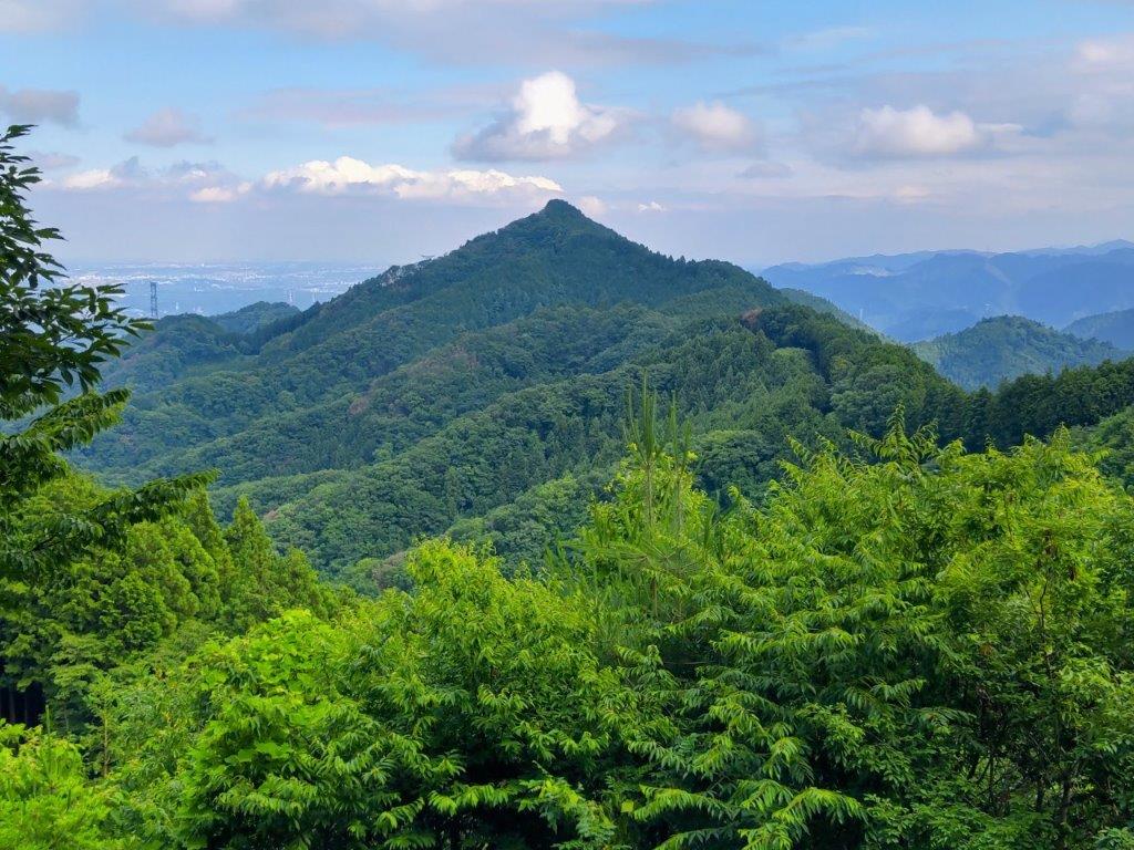
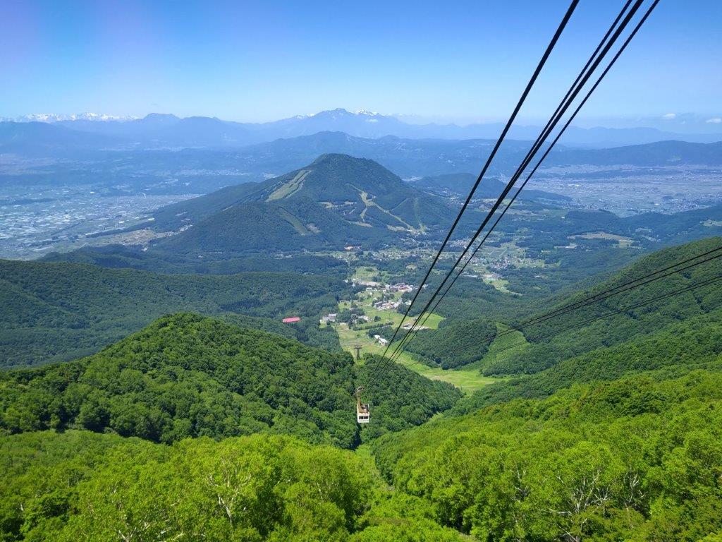
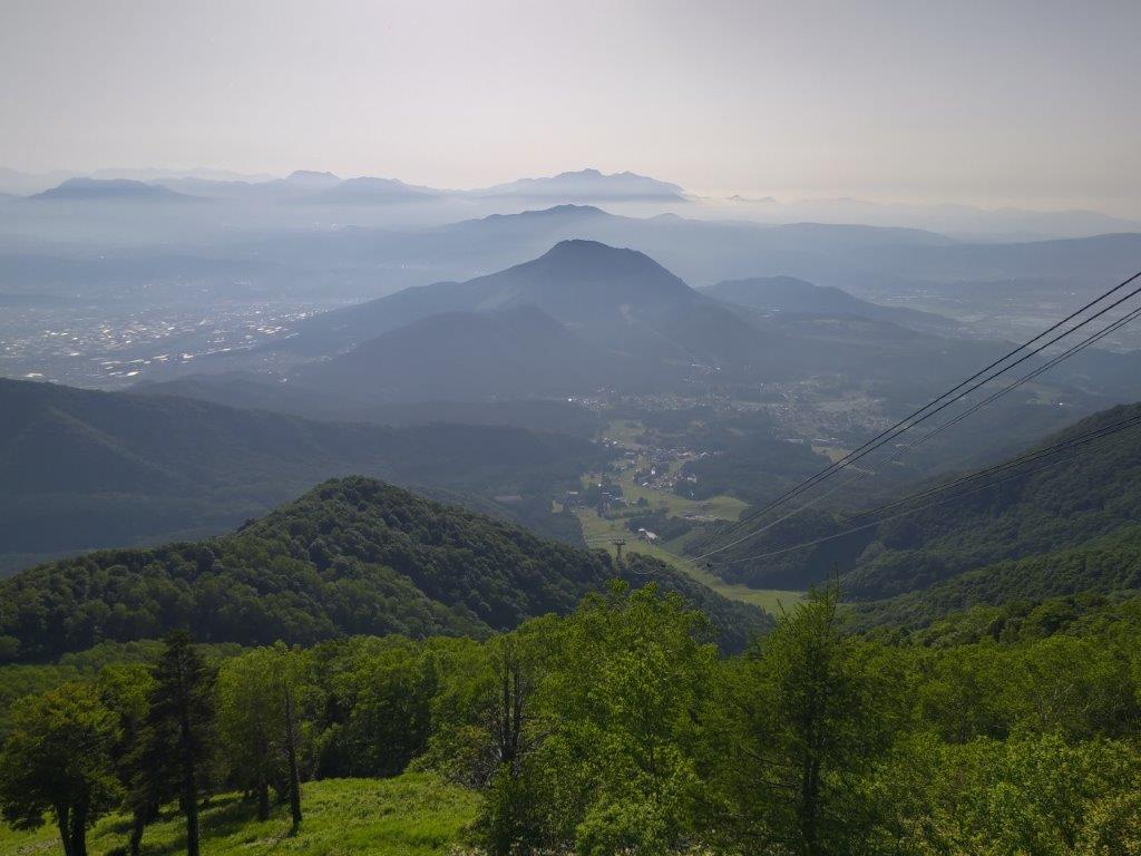
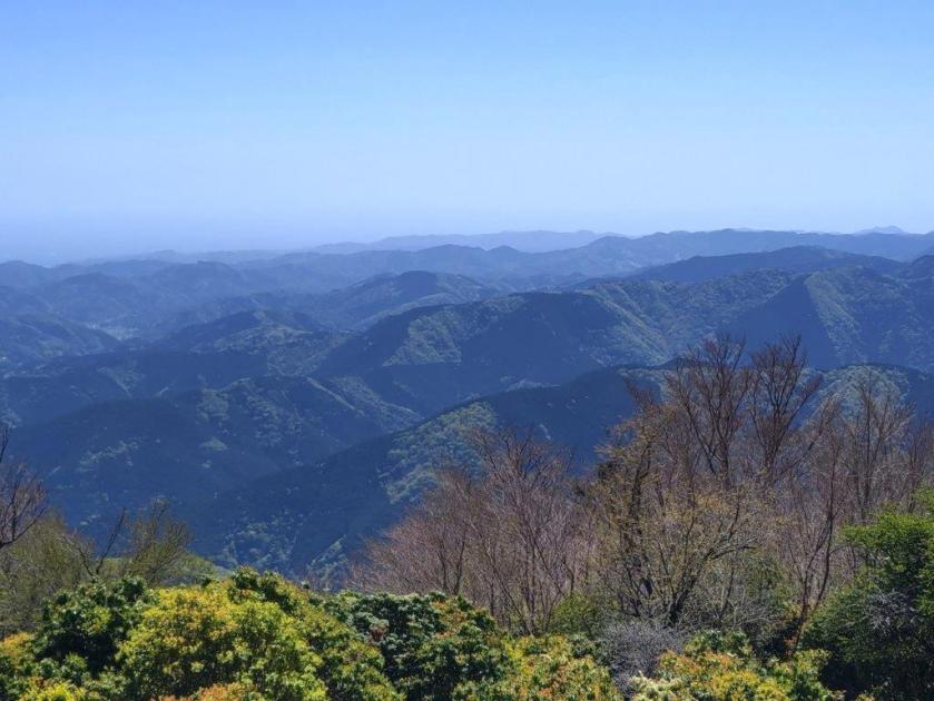
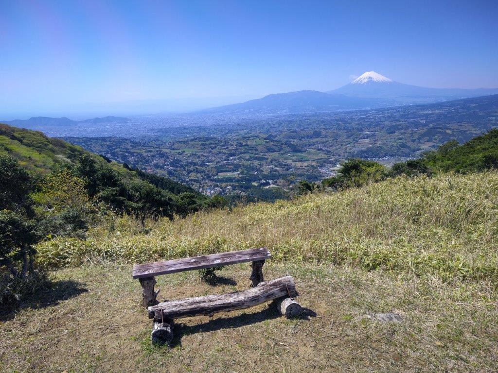
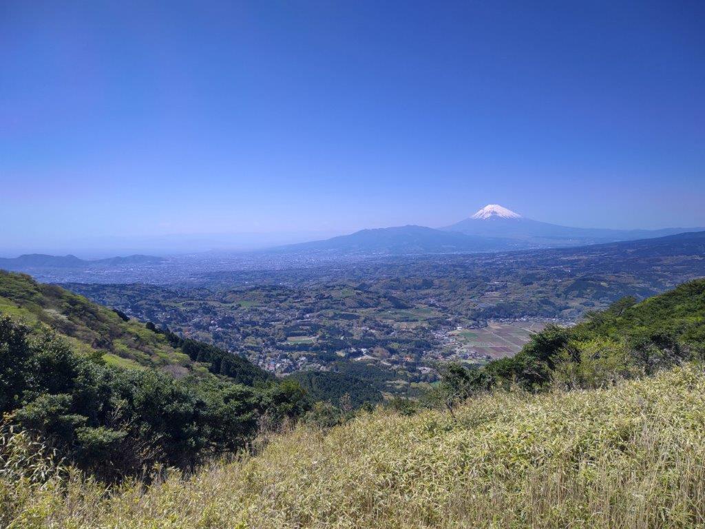
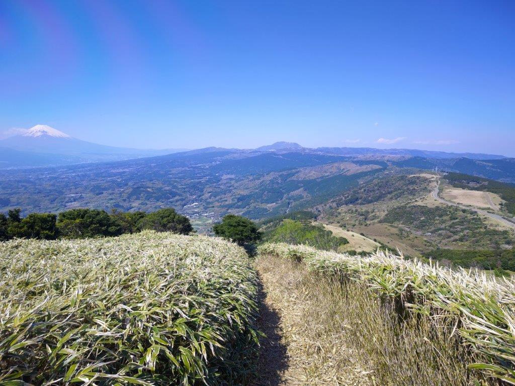
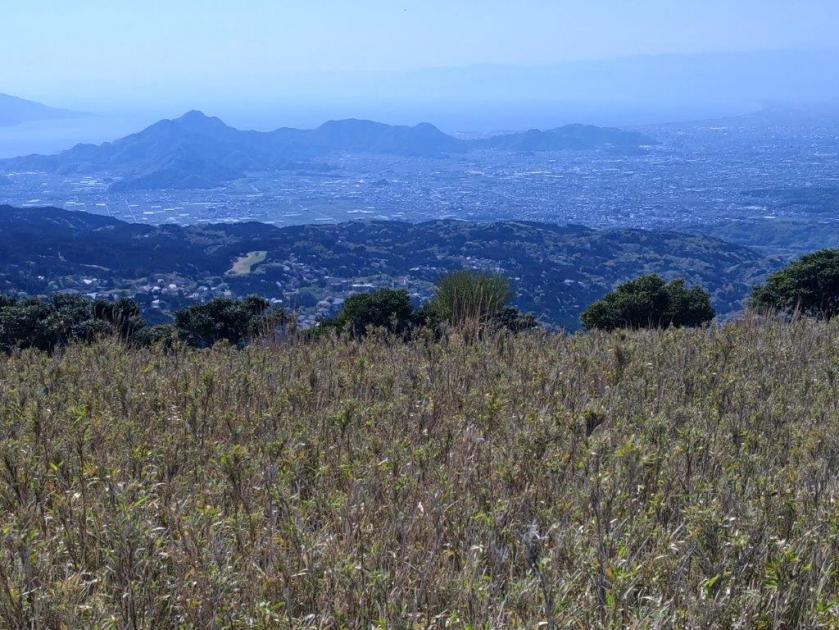
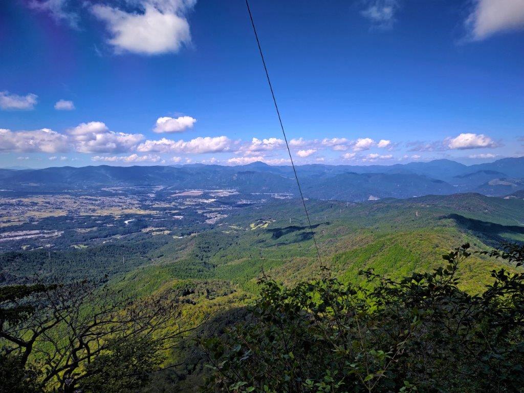
View of the Kanto Plain from the Mt Mitsumochi Observation Deck

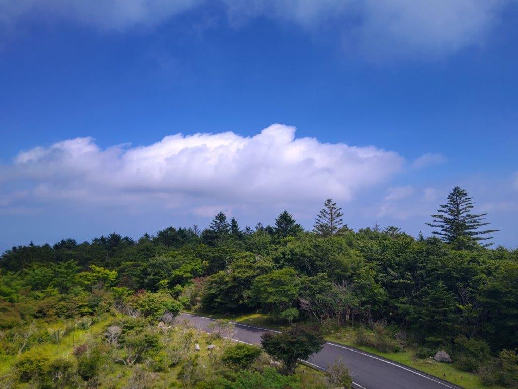
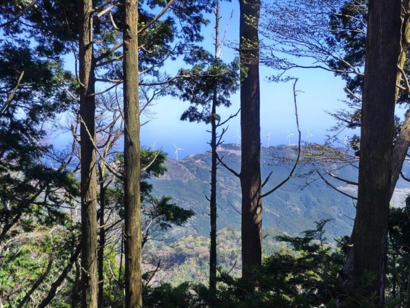
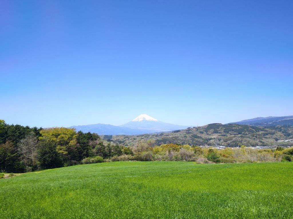
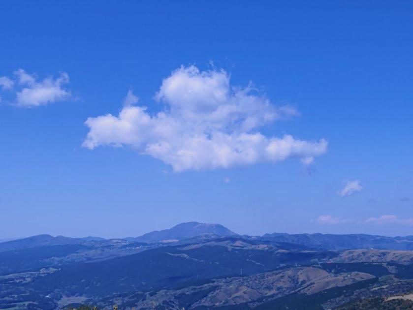
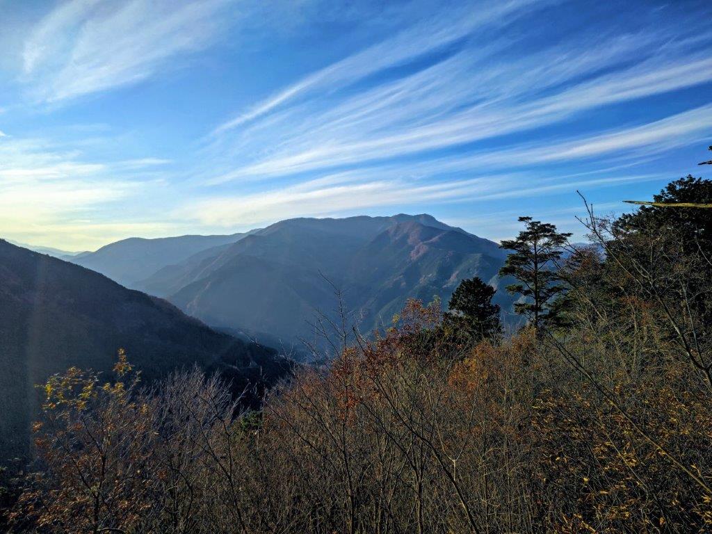
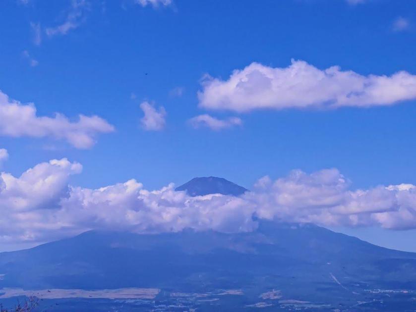
Cumulus Cloud Floating through the Summer Sky
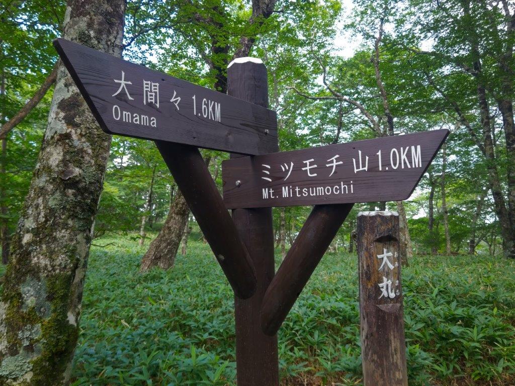
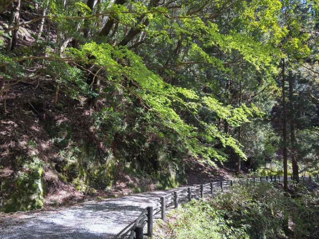
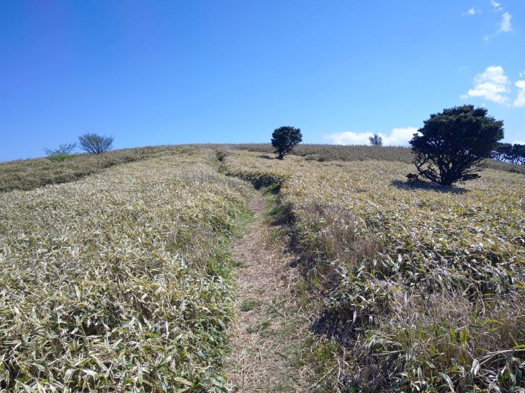
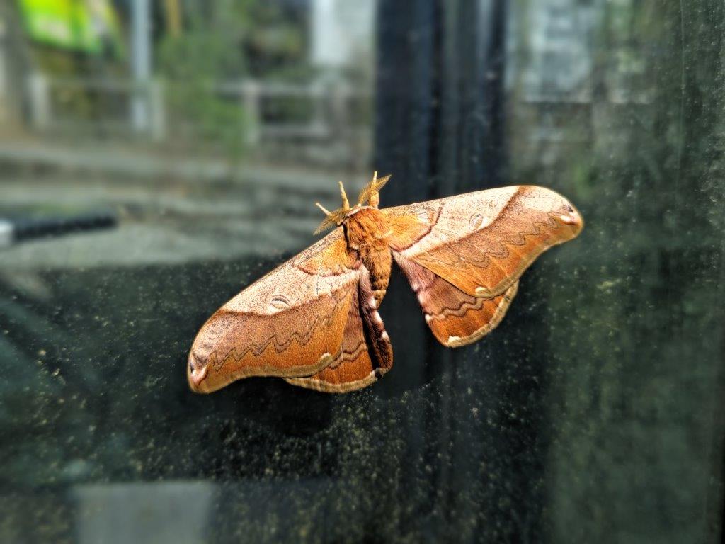
I was interested in the many bilingual information boards along the trail, allowing me to learn more about the surrounding nature, although they didn’t prepare me for the discovery of a brown toad sitting in the bamboo grass (I spotted one more at the summit). After a short climb, I reached a new-looking wooden observation tower a little before 2pm, also the top of Mt Mitsumochi (ミツモチ山 mitsumochi-yama). From the top of the tower, I gazed upon the Kanto plain below, the view probably more impressive in the cooler days of Spring and Autumn. After a short break, I continued along the Aozora trail (青空コース meaning “blue skies”), a wider track circling clockwise back to my starting point.
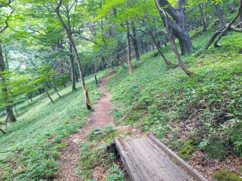
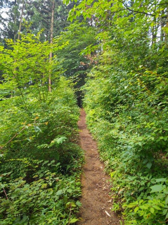
Open section along the Aozora Route

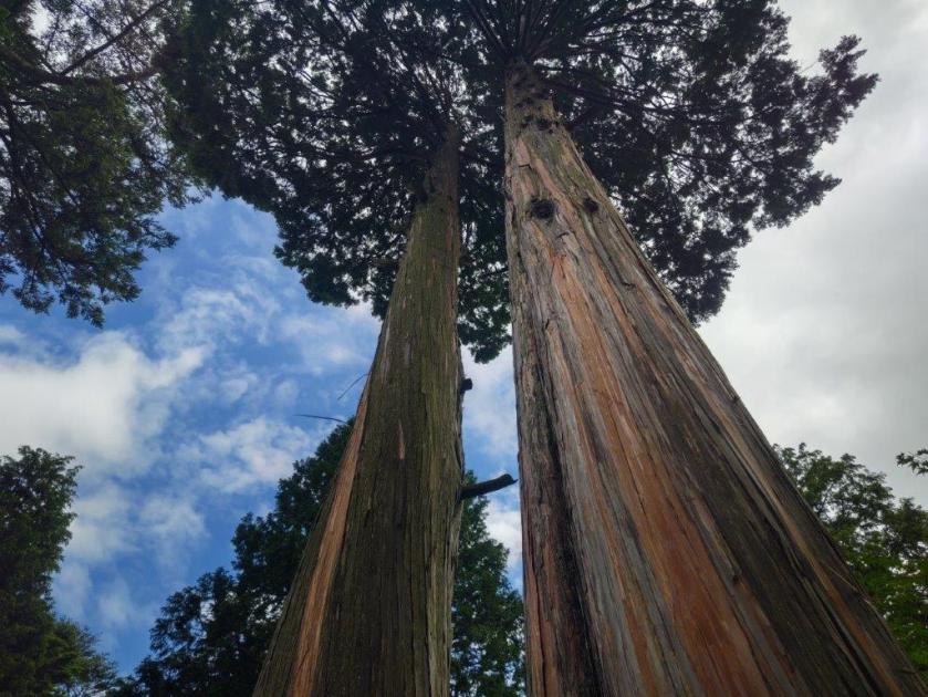
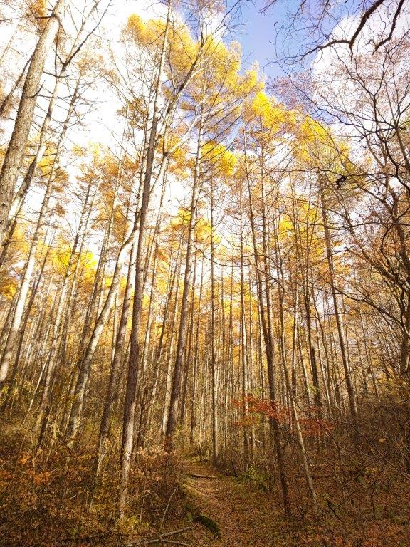
Passing Between Three Beeches
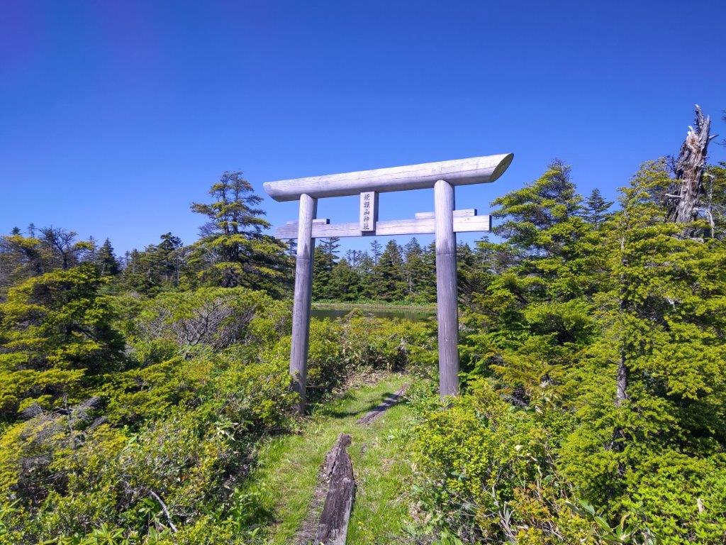
I soon figured out that the trail name referred to the sky now visible through the trees overhead, rather than to any panoramic views. Fortunately, thick clouds had spread over the entire sky shielding me from the blazing sun; on the other hand I was now worried about thunderstorms. I picked up the pace, and after passing through an open grassy space, the trail climbed gently, merging with the main trail at 3pm, near an old wooden shinto gate. At one point, a startled deer jumped out of the trees, dashed across the trail and dived into the forest on the other side. Soon after, I was back at the parking lot, and after checking out the Yama-no-eki Takahara, drove back to Utsumomiya station where I boarded the shinkansen for the short ride back to Tokyo.


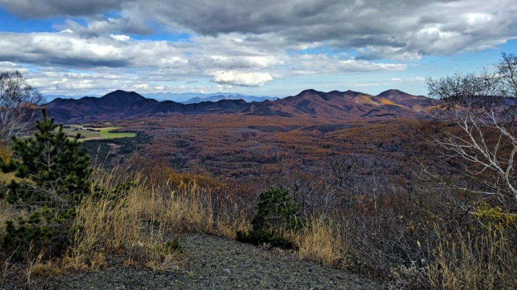
![Mt Odake (1267m), Okutama Town, Tokyo Prefecture, Saturday, November 19, 2022 [Mitakesan Station to Okutama Station]](https://hikingtokyo.com/wp-content/uploads/2023/01/img_20221119_125052.jpg?w=1024)


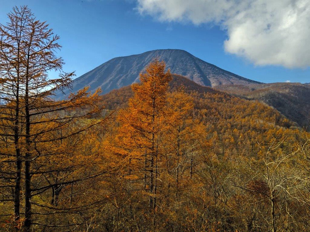
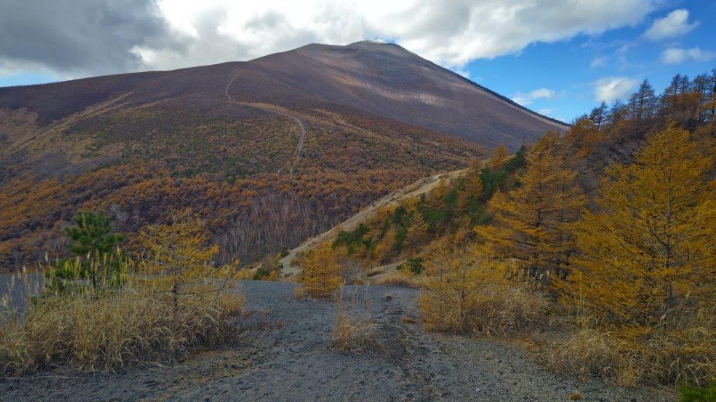
![Mt Tanze (1398m), Nikko City, Tochigi Prefecture, Saturday, November 12, 2022 [Map Available]](https://hikingtokyo.com/wp-content/uploads/2023/01/dsc_1437.jpg?w=1024)


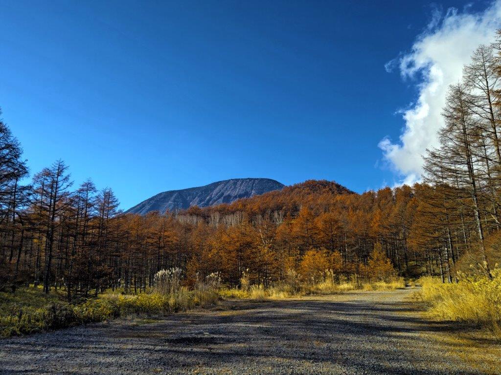


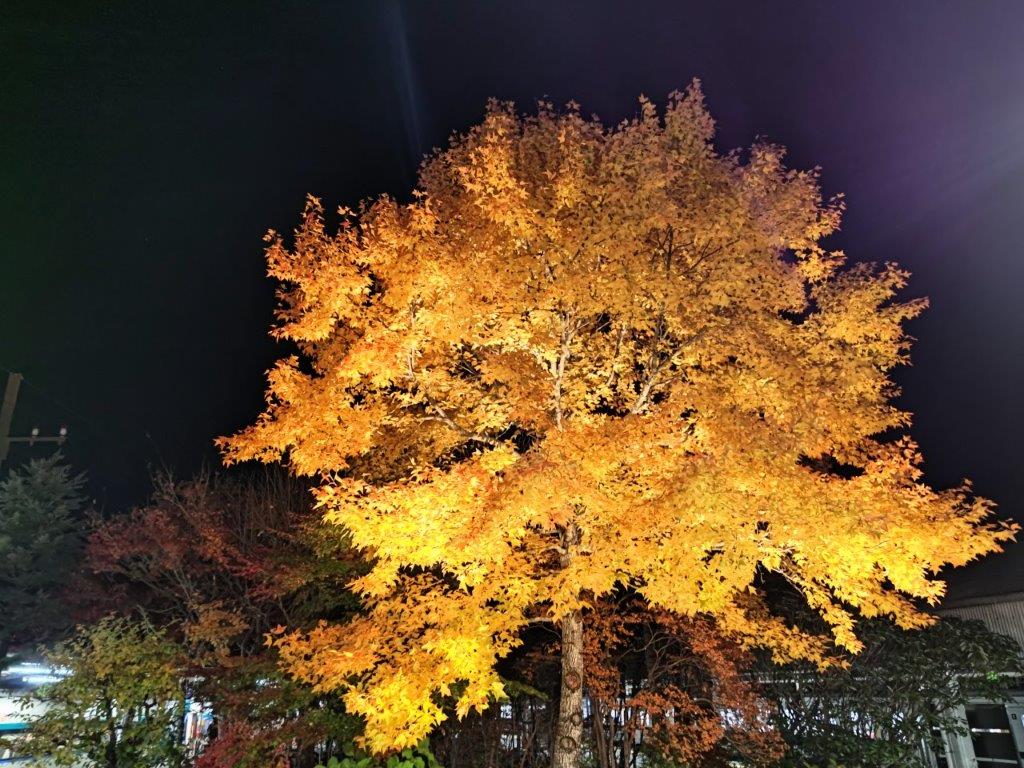


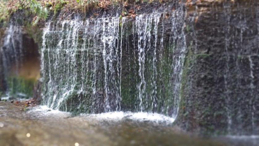

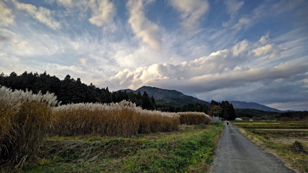
![Mt Yasuto (1151m), Nasu-Shiobara City, Tochigi Prefecture, Thursday, November 3rd, 2022 [Map Available]](https://hikingtokyo.com/wp-content/uploads/2023/01/img_20221103_133305.jpg?w=1024)


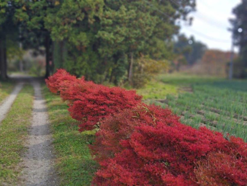


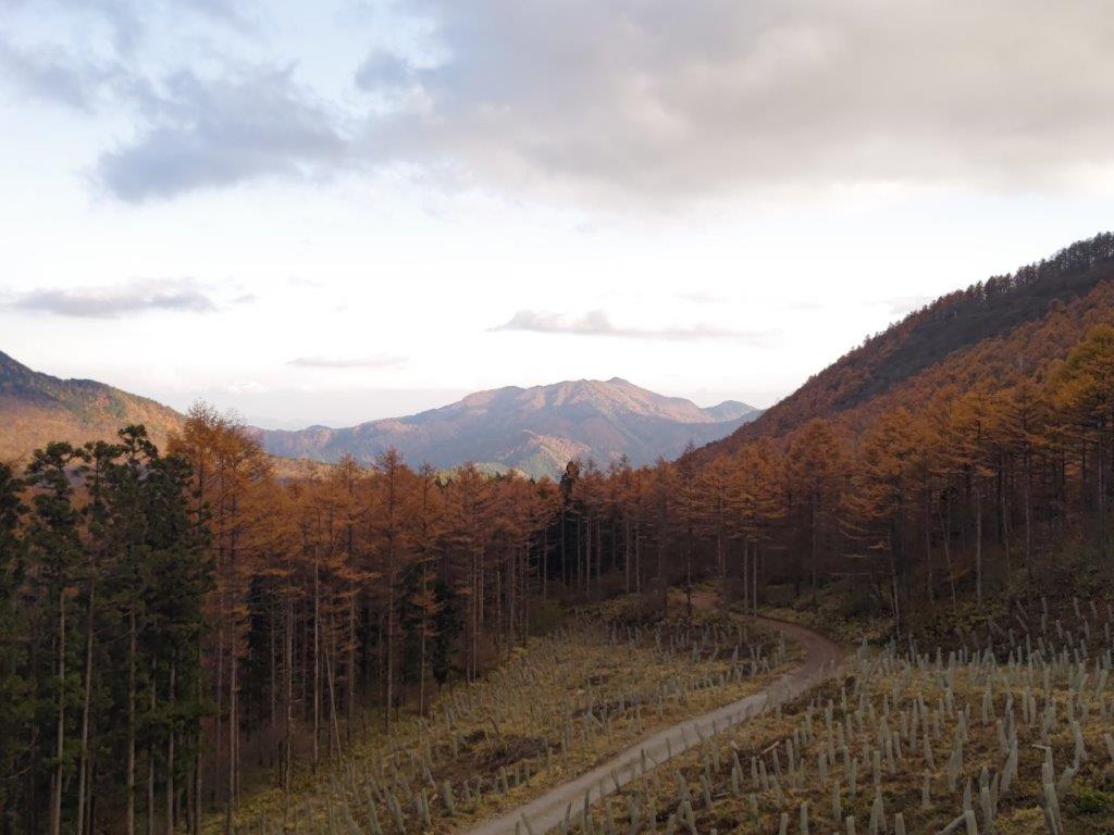
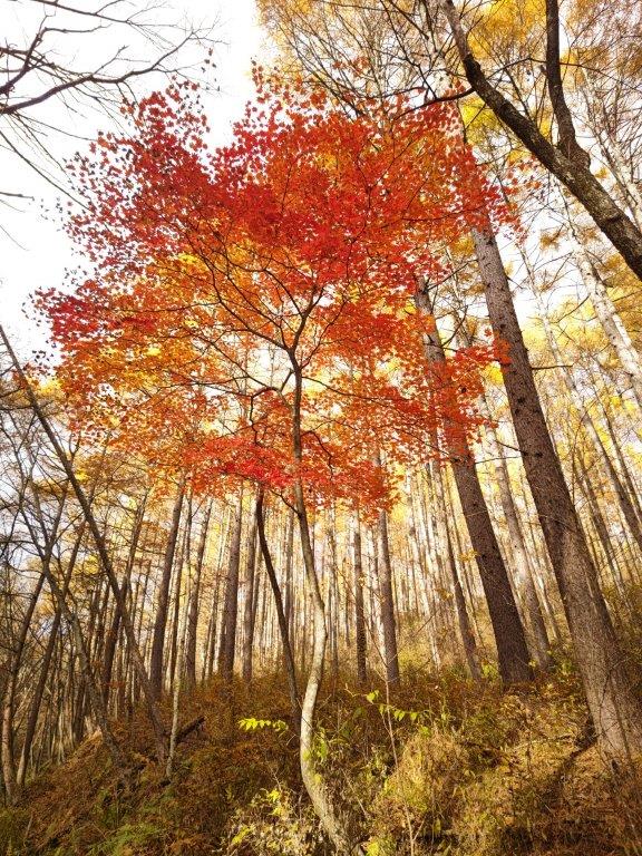
![Mt Kintoki (1212m), Minami-Ashigara City, Kanagawa Prefecture, Saturday, October 1st, 2022 [Yuhi Waterfall to Otome Pass route]](https://hikingtokyo.com/wp-content/uploads/2022/10/img_20221001_131101.jpg?w=1024)


You must be logged in to post a comment.