
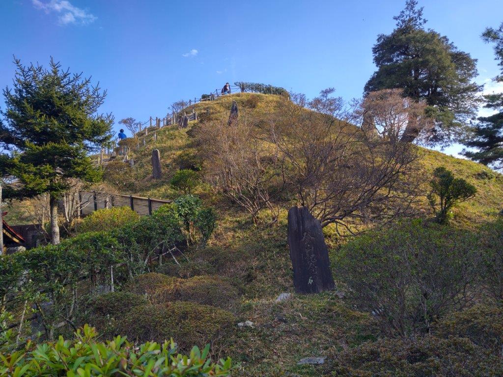
I found out about this mountain in one of my guidebooks. I had hiked Mt Ishiwari and Mt Mikuni, north and south of it respectively, but never the section in-between. Looking at my map, I saw that I could traverse from Myojin Pass in Shizuoka to Yamanaka lake in Yamanashi. For the first part, I’d follow my 2019 hike but I’d skip Mt Mikuni, entirely in the trees, by following a road to Mikuni Pass. From there, I would head north, passing 3 peaks, before heading down into the Fuji Five Lake Area; Once I reached the end of the trail, I’d follow another road and end the hike at Ishiwarinoyu hot spring.
Hiking in the Fuji-Hakone-Izu National Park
富士箱根伊豆国立公園

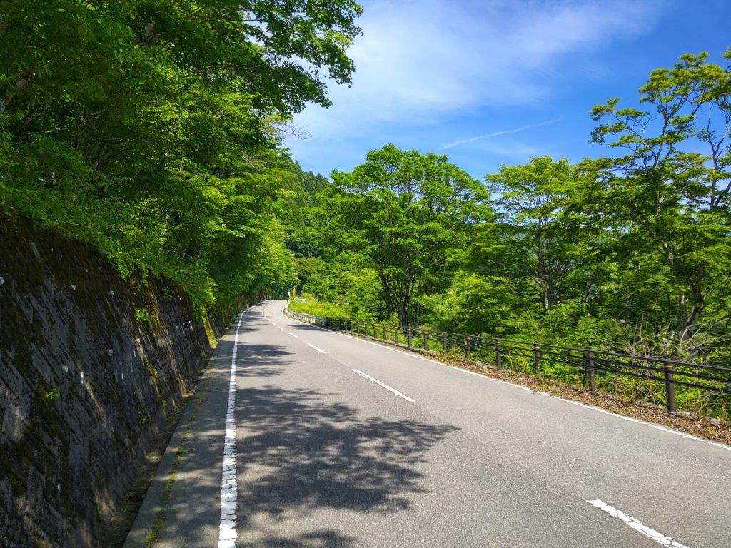
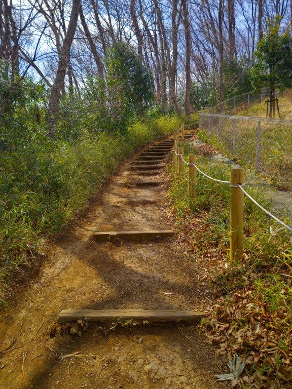
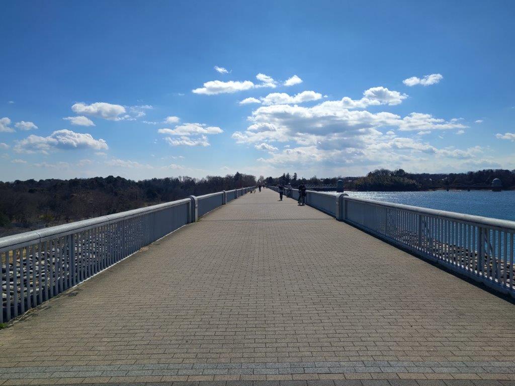
Start of the Hike (left) Road for Mikuni Pass (right)


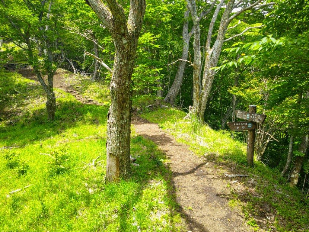
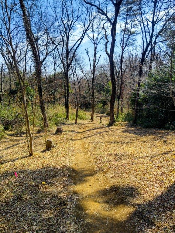
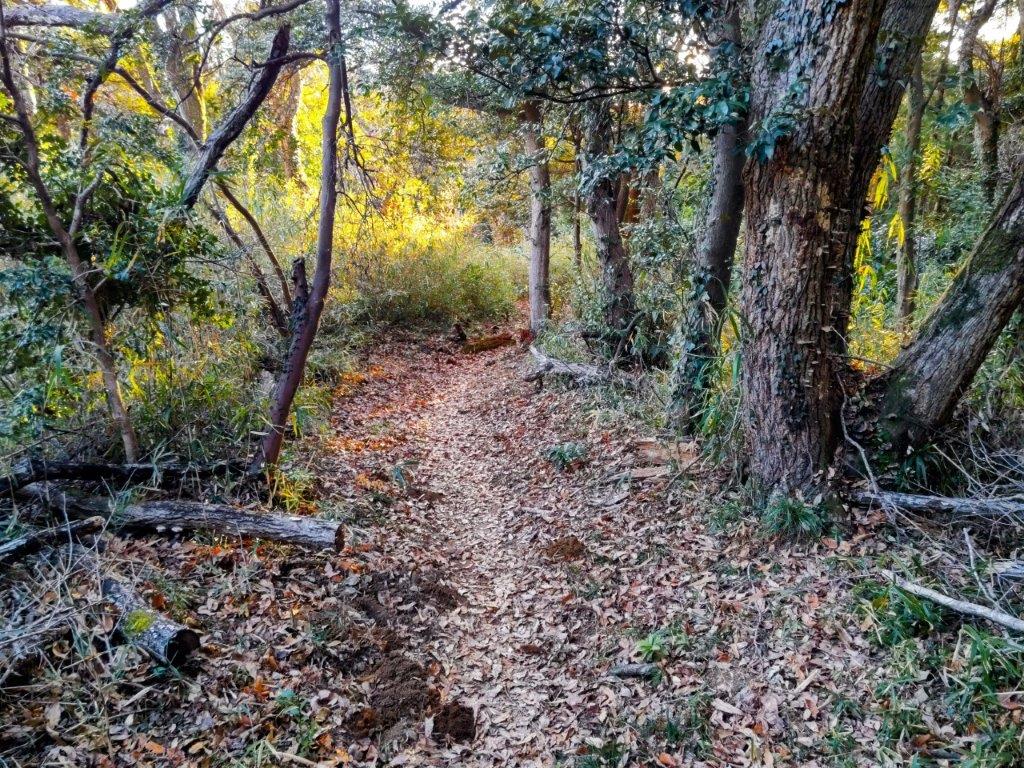
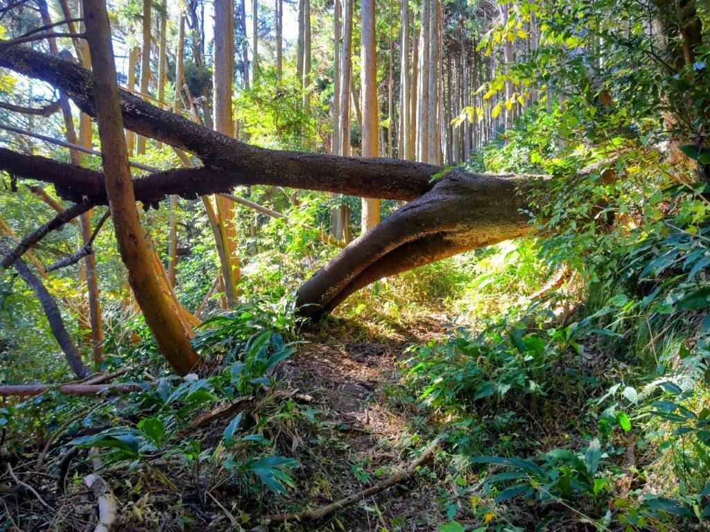
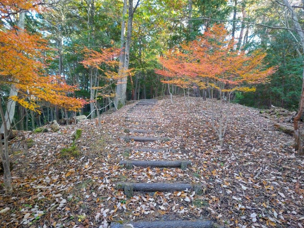
Trail for Mt Teppogi (left) Trail for Mt Takazasu (right)
To get to the start of the hike, I’d ride the first “Mt Fuji” limited express from Shinjuku to Suruga-Oyama, and there catch a Fujikyu seasonal bus for Myojin Pass. For the return, Google Maps suggested going through Kawaguchiko, but I knew from past experience that the Fuji excursion limited express trains would be fully booked far in advance. Instead, I decided to use a taxi to get to Asahigaoka where I could catch a bus for Gotemba station and ride the last “Mt Fuji” limited express back to Shinjuku. The weather was supposed to clear in the morning, turning cloudy in the afternoon, in tune with my early start and early finish plan. I was looking forward to a hike far from Tokyo and hoped I’d get a view of Mt Fuji before it vanished in the clouds.
Find Japan Hiking Maps on Japanwilds and subscribe to our newsletter
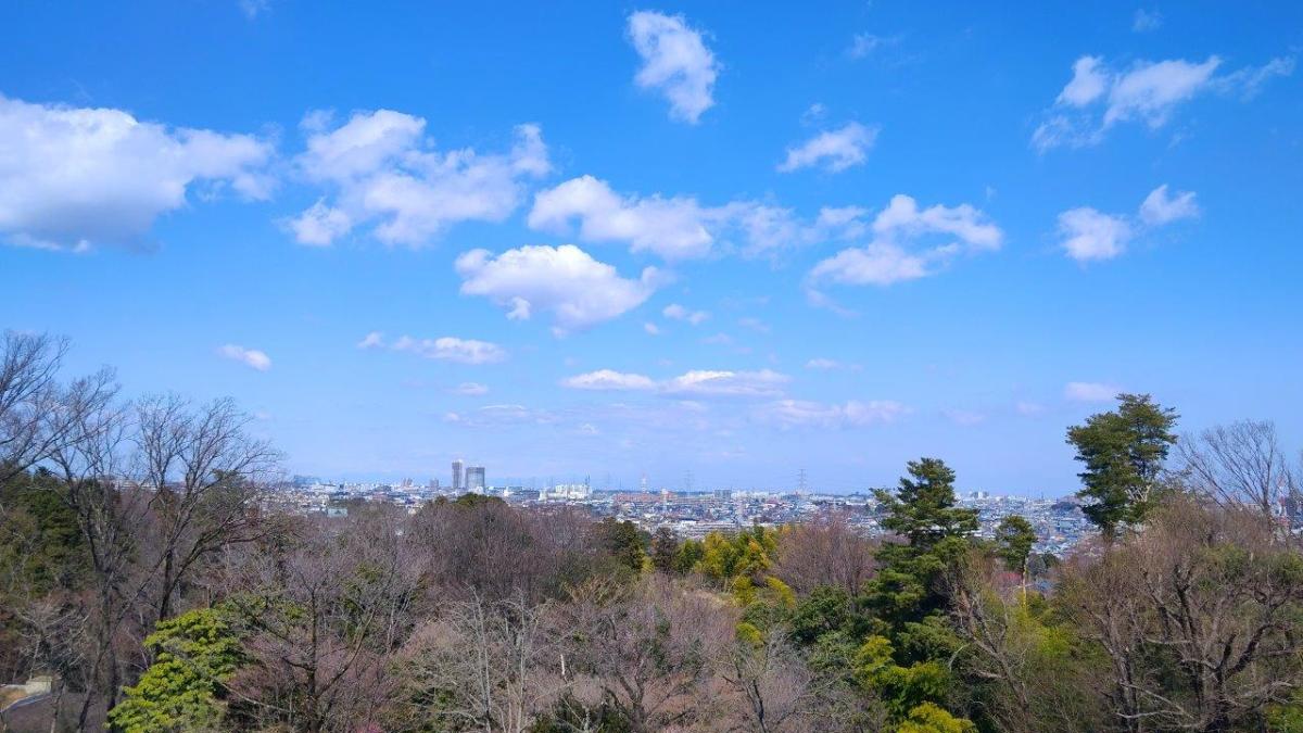
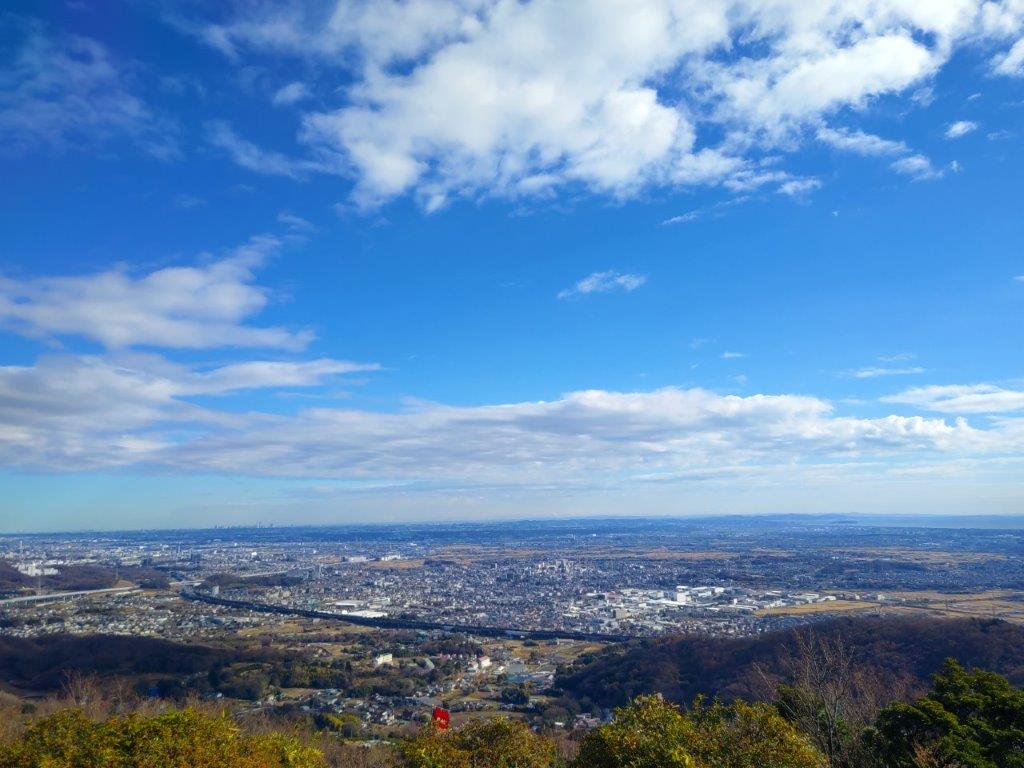
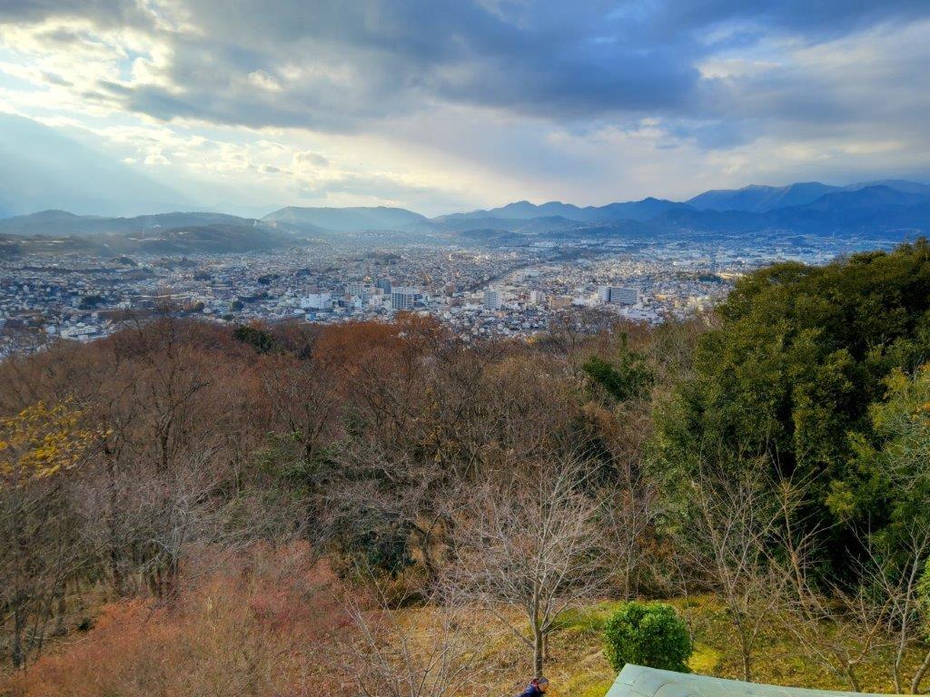
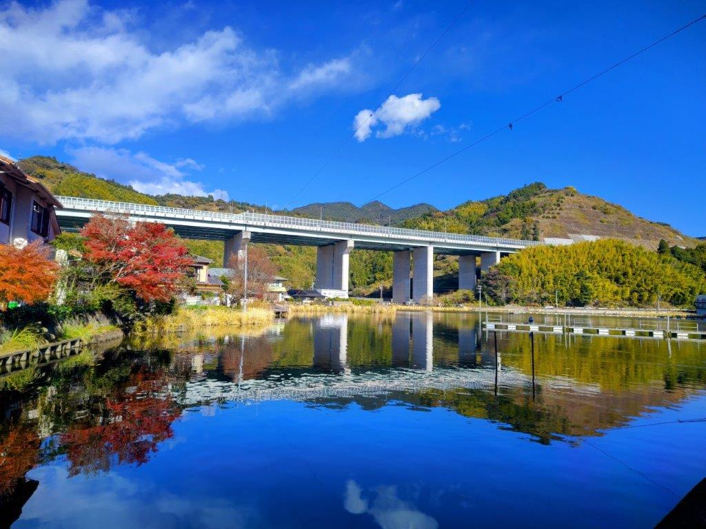
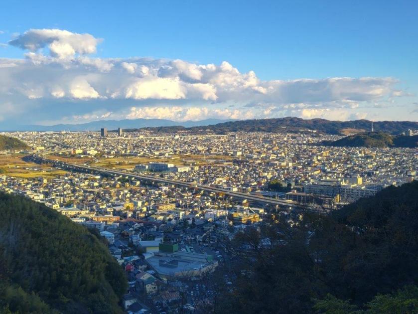
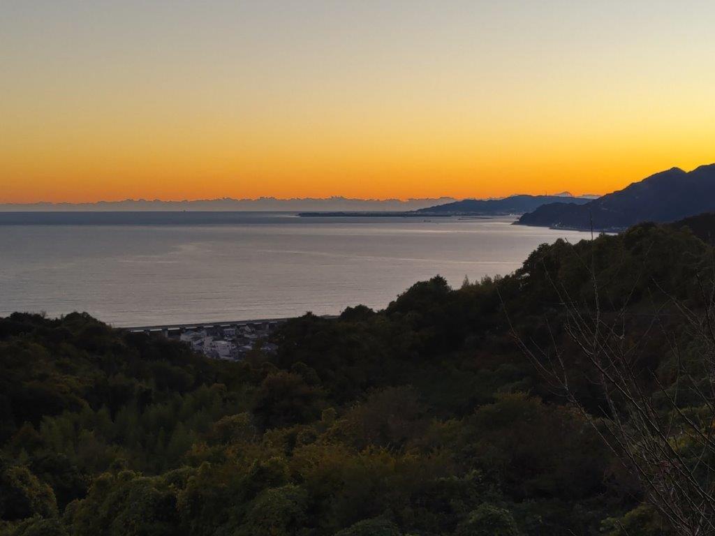
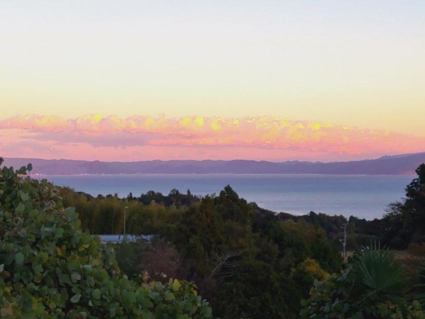
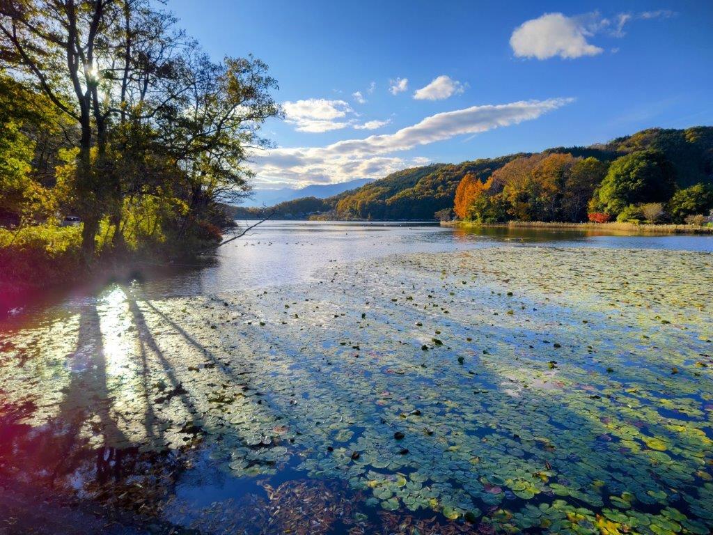
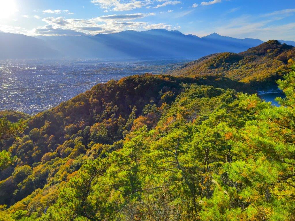
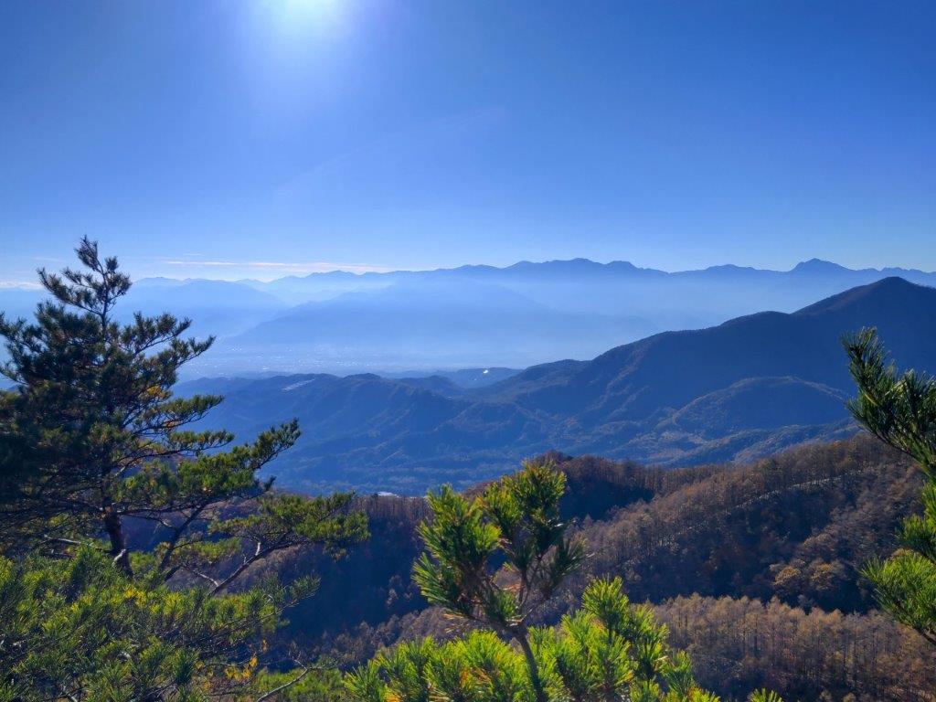
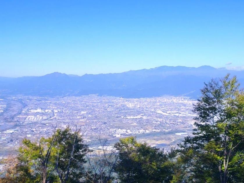
View of Hakone from near Myojin Pass
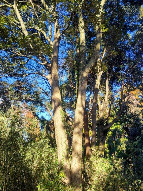
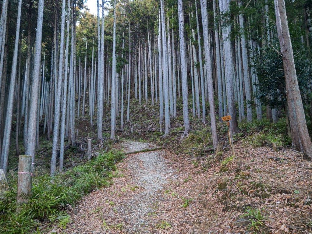
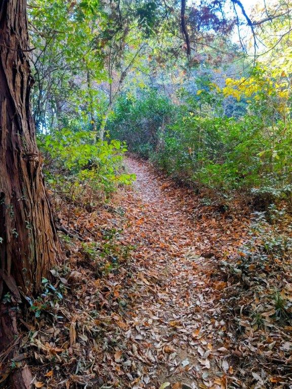
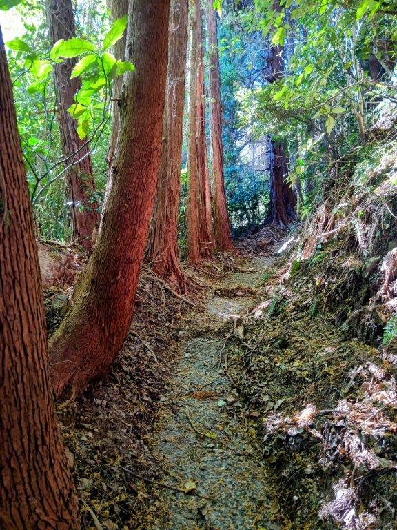
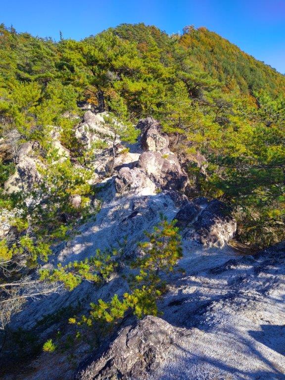
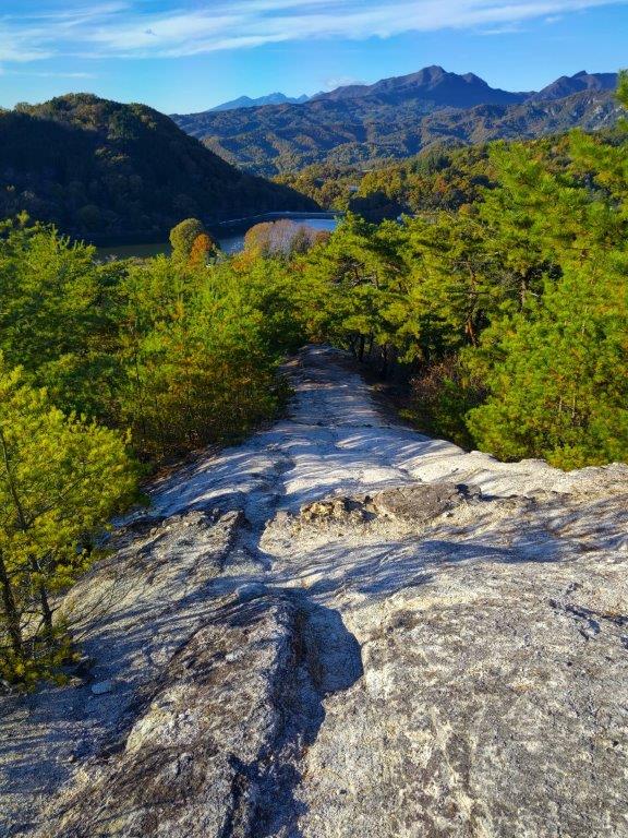
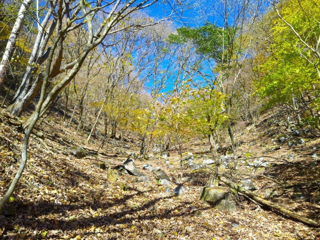
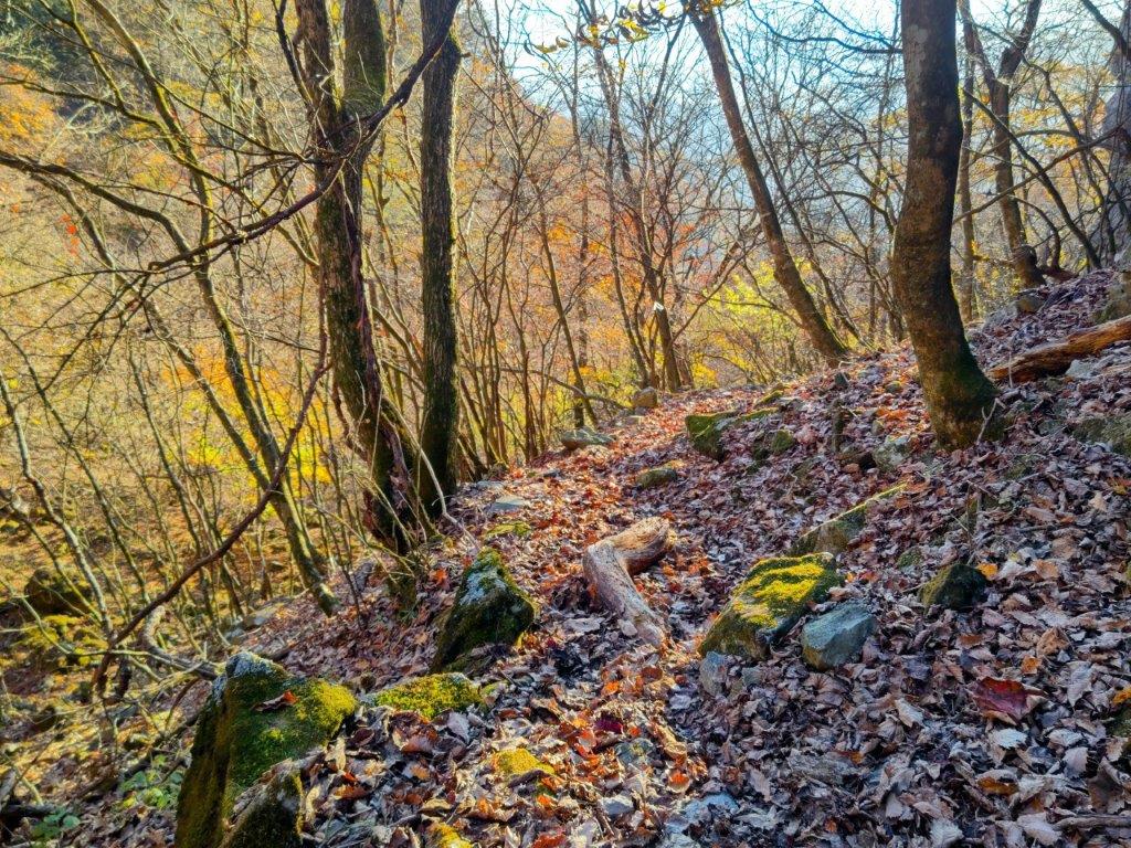
Trail between Myojin Pass and Mt Mikuni
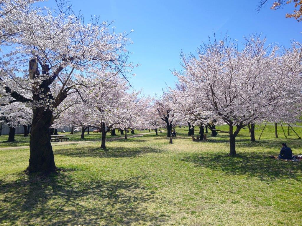
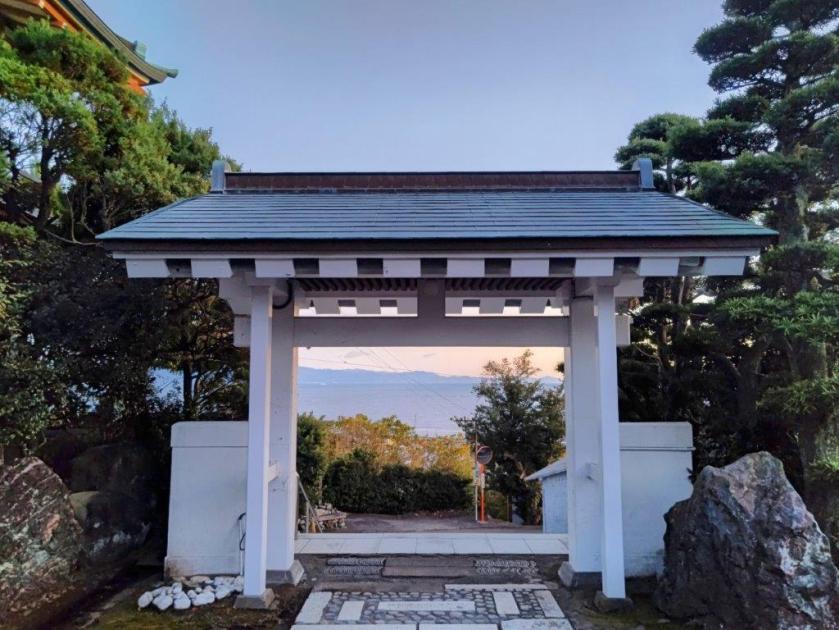
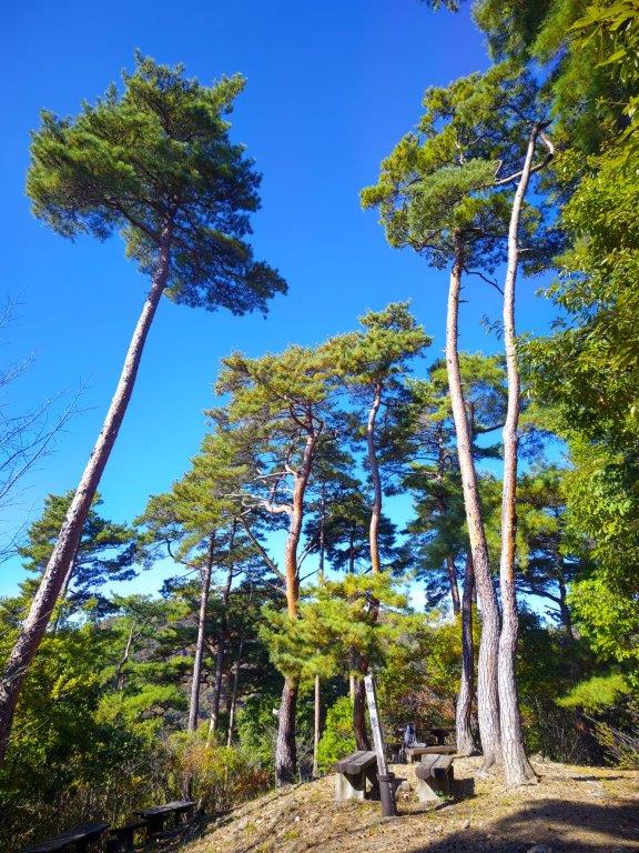
The sun was already high in the sky at 7am as the limited express made its way through Tokyo. After getting off at Suruga-Oyama station at 8am, I hurried to the bus stop but still found myself standing for the 3o-minute ride to the pass, as many people had arrived just before me on the local train. Surprisingly, I had the trail mostly to myself after starting out from Myojin Pass (明神峠 900m) at 9am, since most people first headed to nearby Mt Yubune (I had done the same 6 years ago).
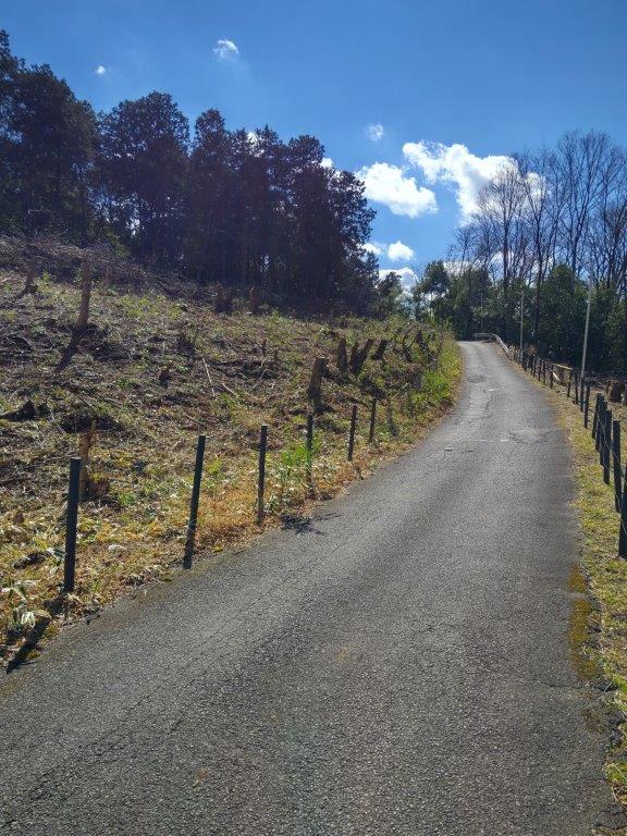
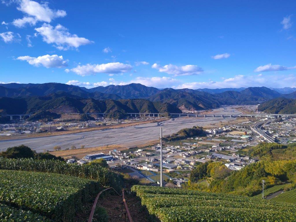
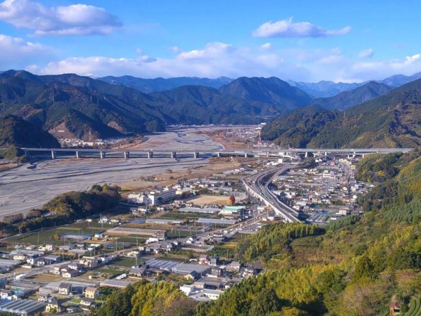
Road leading to Mikuni Pass
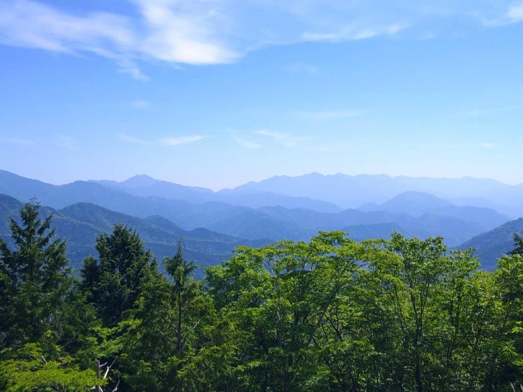
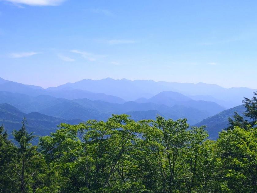
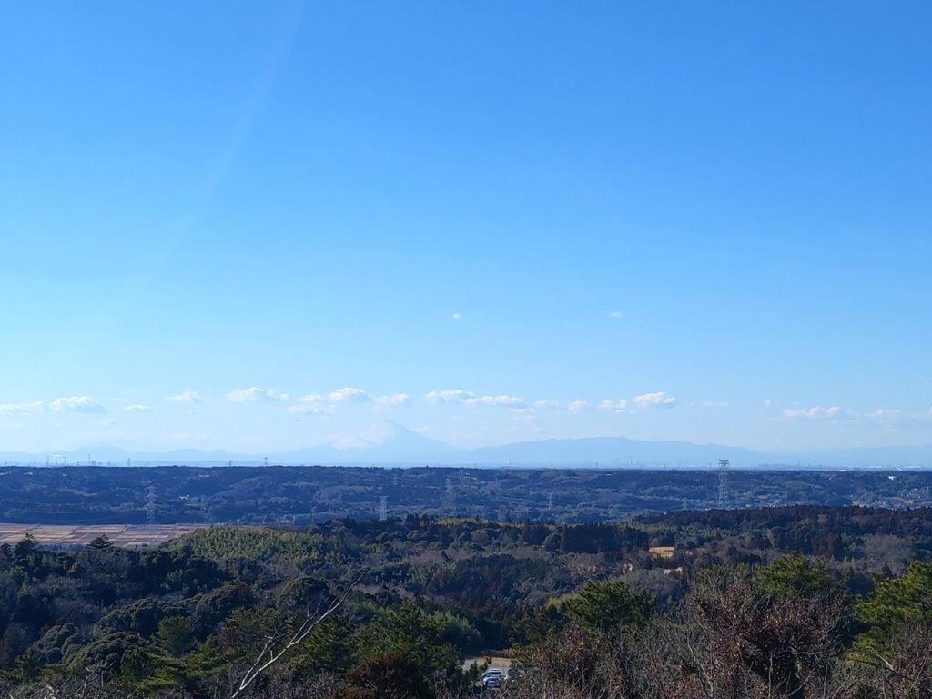
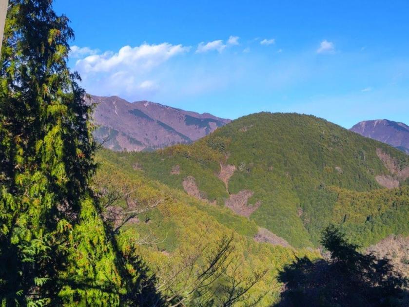
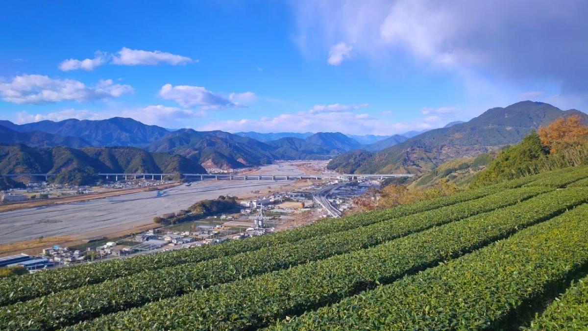
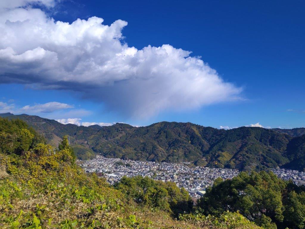
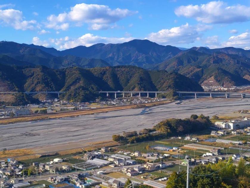
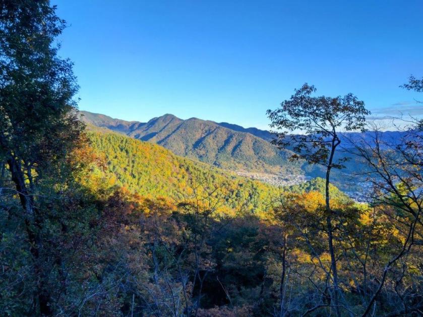
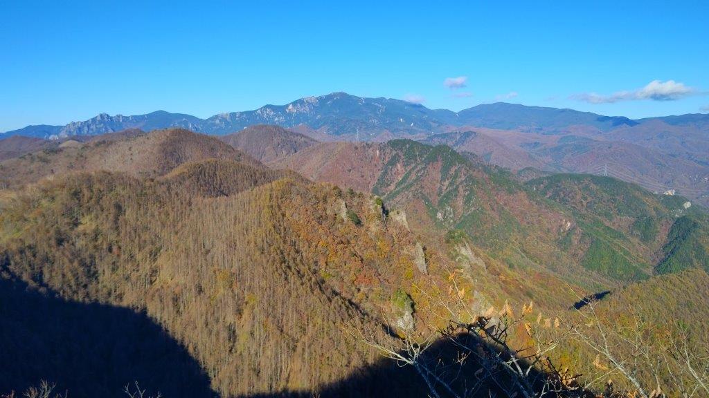
View of the Tanzawa Mountains
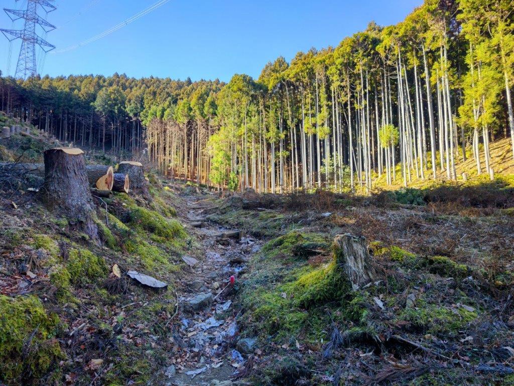
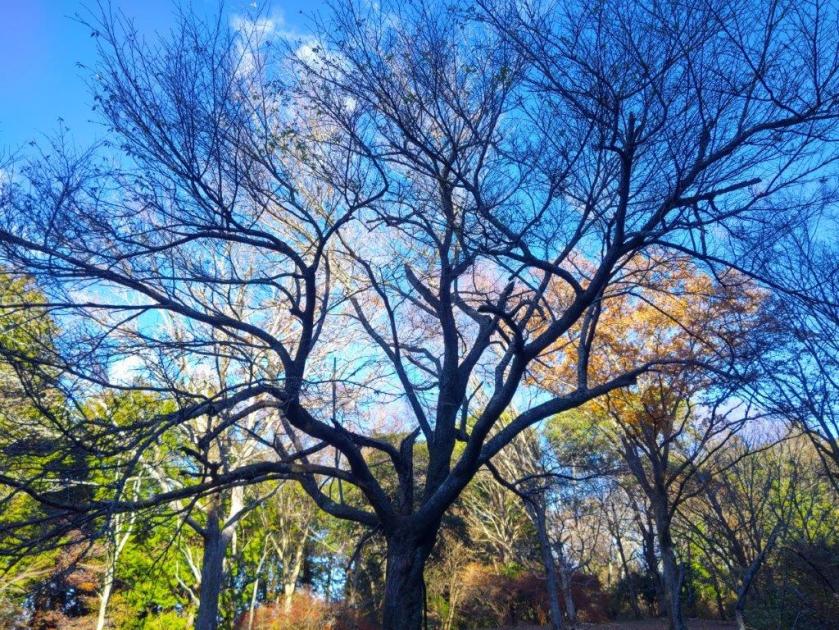
I soon had a view on Mt Ashitaka and the Hakone mountains through the trees on the left side. It was already quite warm but fortunately most of this section was in the tree shade. At 9h30, I reached a paved road beyond which the trail for Mt Mikuni rose steeply through the forest. A signpost with a small metal figure of Kintaro perched on top told me I was at the halfway point between the Myojin and Mikuni passes. I turned right onto the paved road, now entering Kanagawa prefecture.

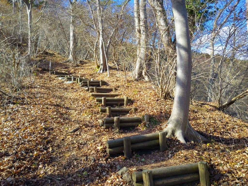
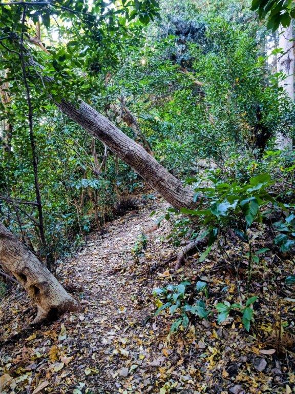
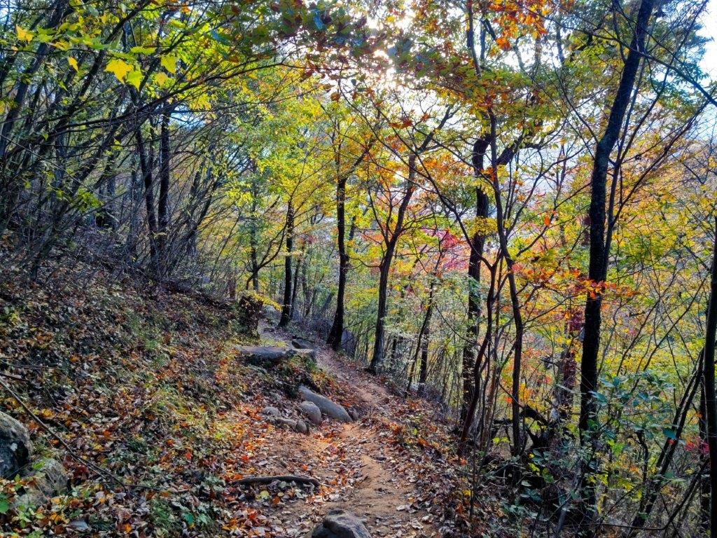
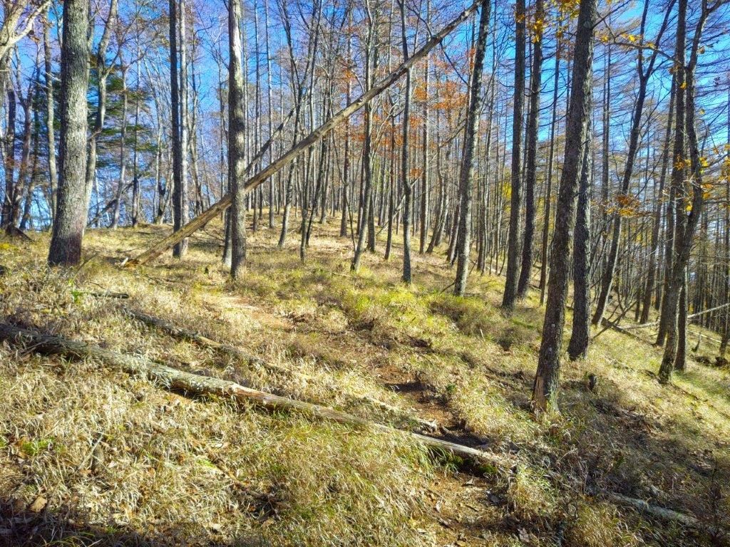
Looking ahead at Mt Teppogi
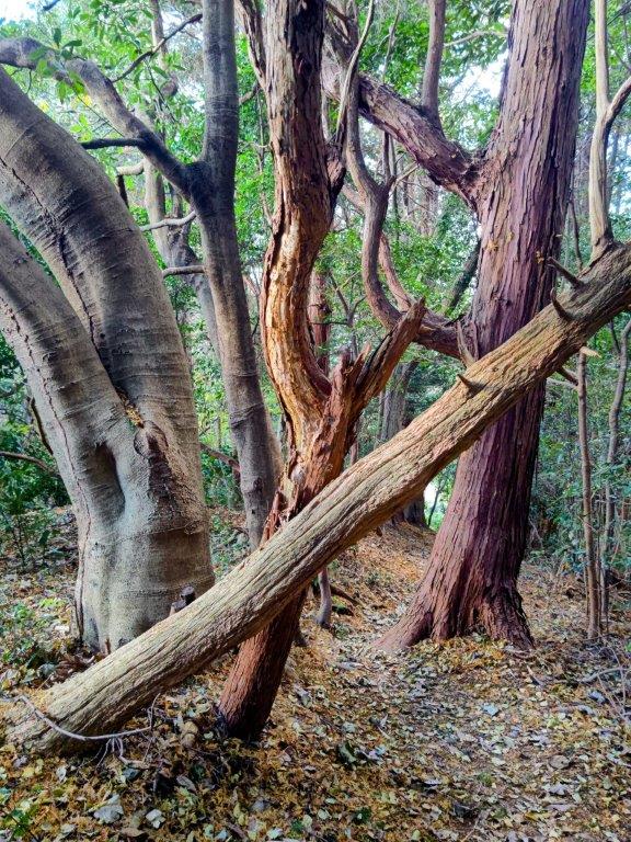
Looking back at Mt Mikuni
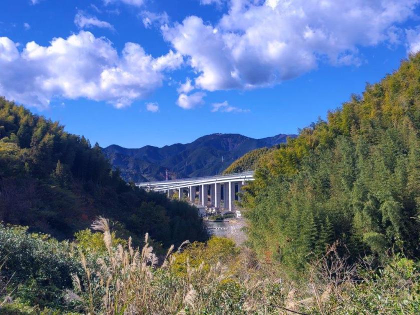
Almost immediately, I got a view of the Tanzawa mountains on the right side, my first time to see them from this angle. Further along, the view was lost behind trees; I picked up the pace to get this boring section quickly behind me, unexpectedly busy with cars and motorcycles. Half an hour later, I reached a huge parking lot at Mikuni Pass (三国峠 1164m), completely filled with cars; apparently this is a popular spot for hiking and escaping the early summer heat. Here, I left the road and turned right onto a trail, now entering Yamanashi prefecture as well as the Fuji-Hakone-Izu National Park.

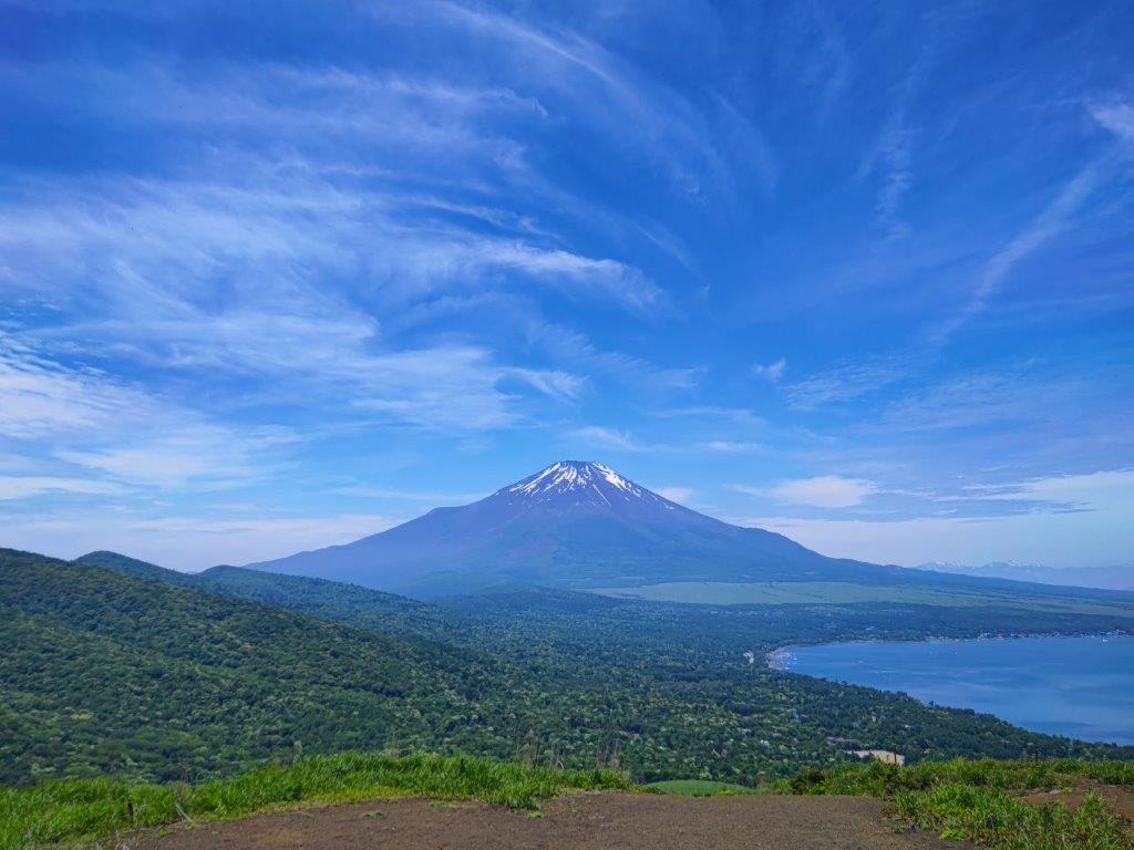
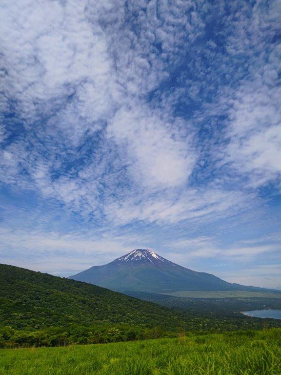
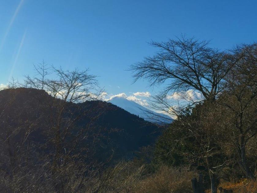
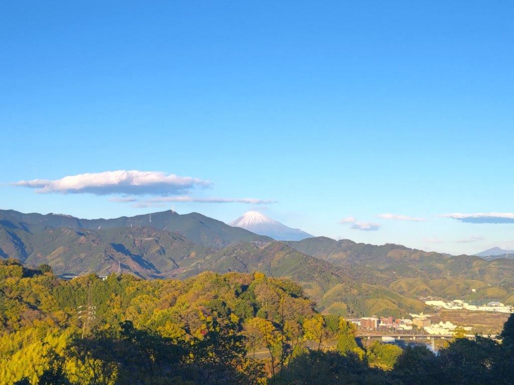
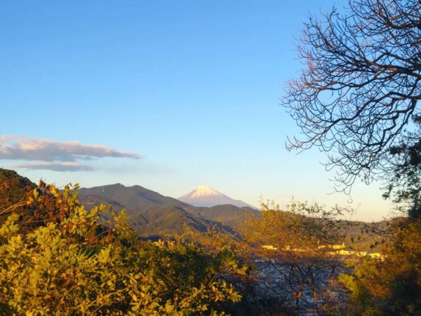
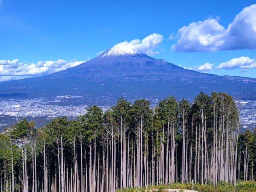
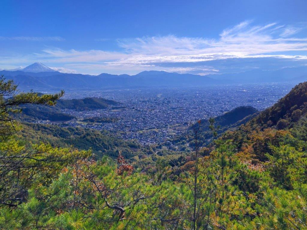
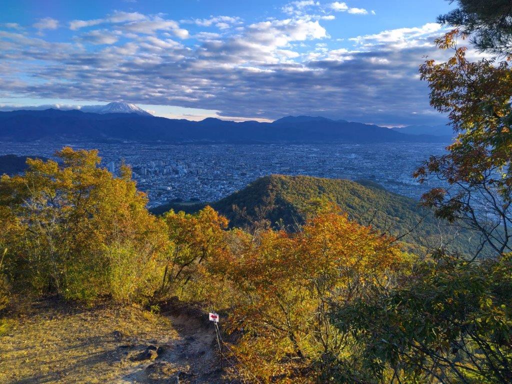
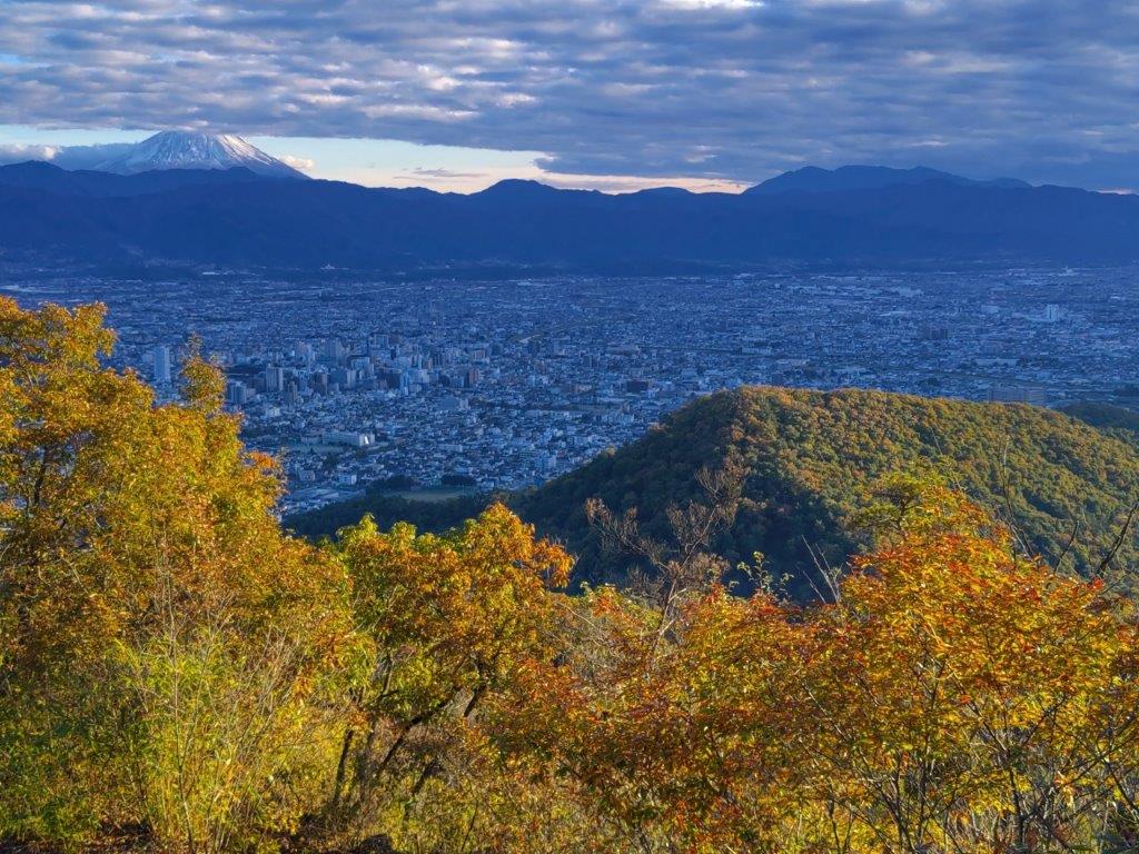
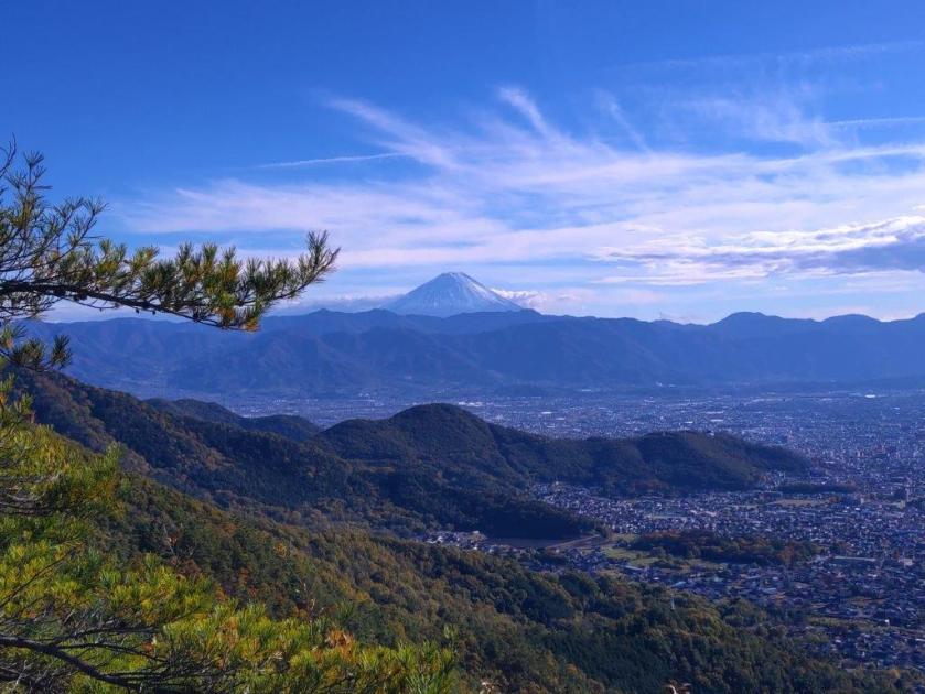
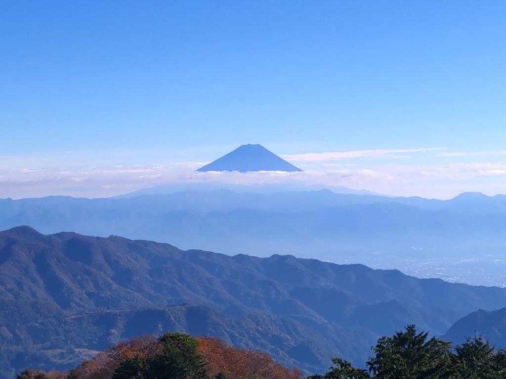
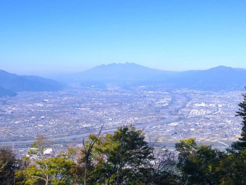
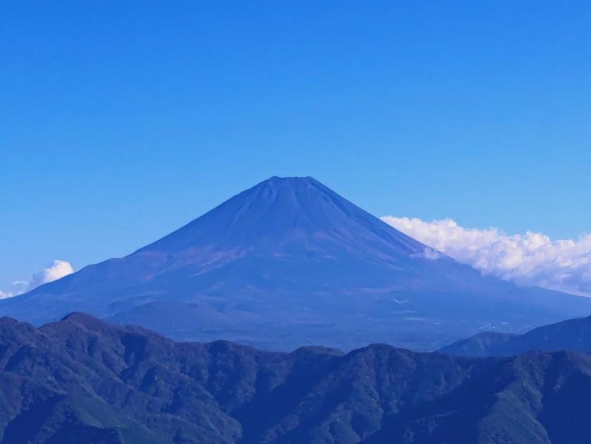
First View of Mt Fuji above Mikuni Pass

The Climbing Season Starts Soon
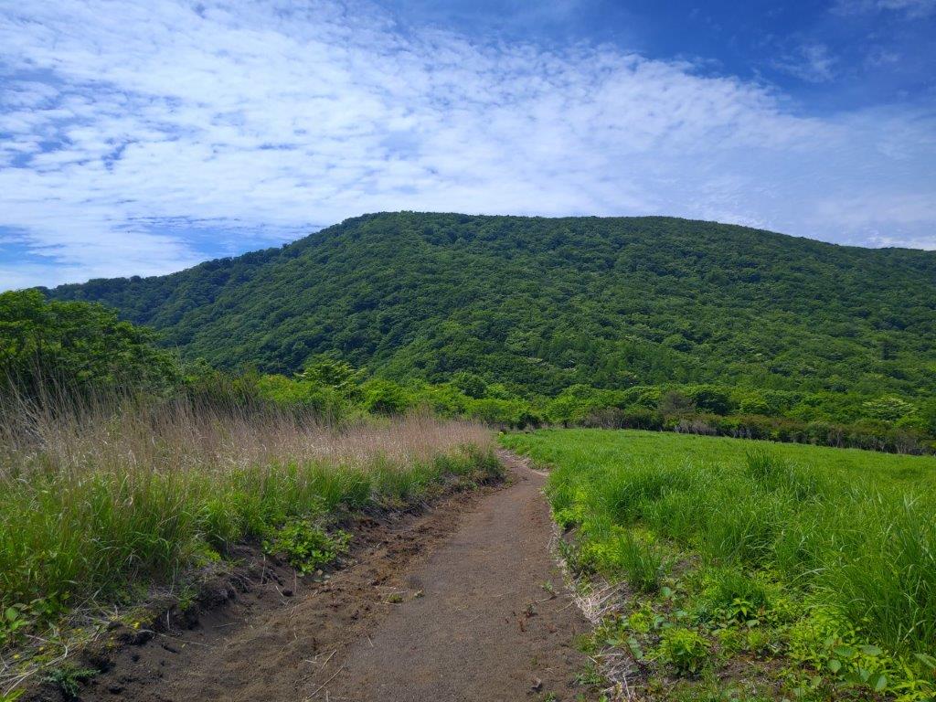
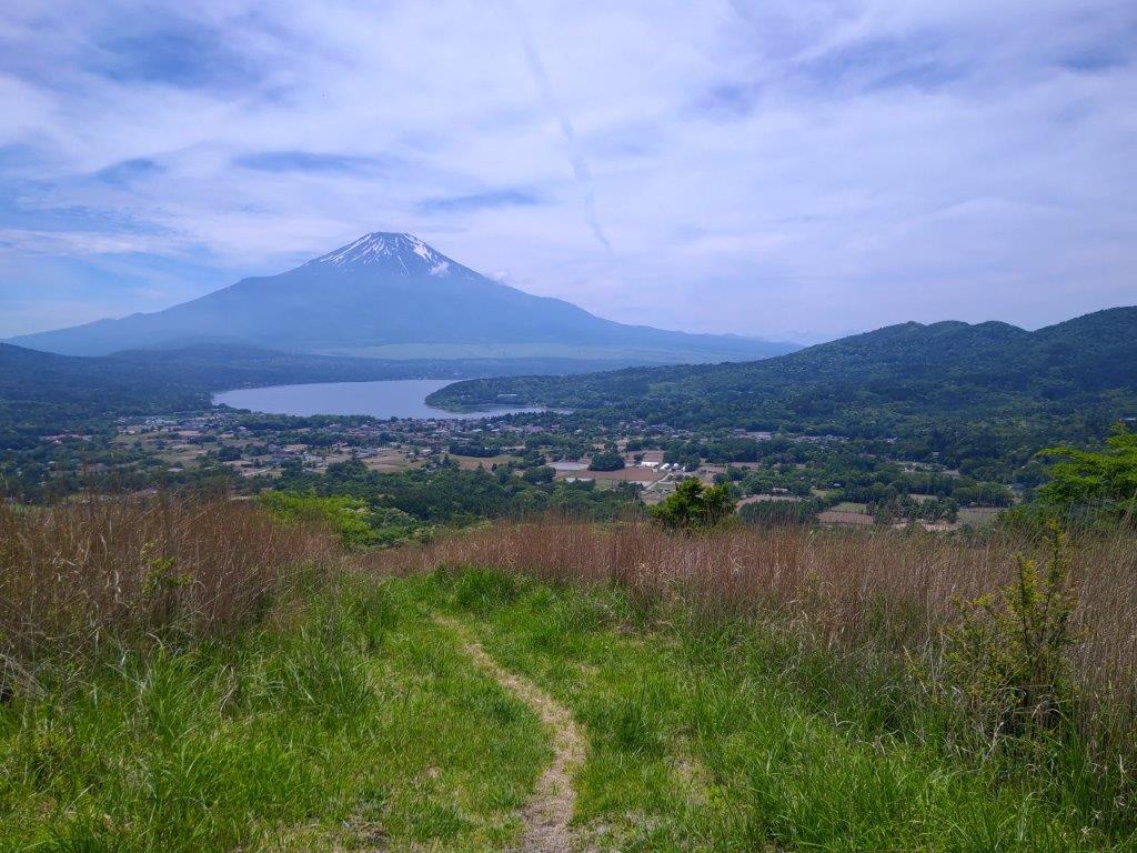
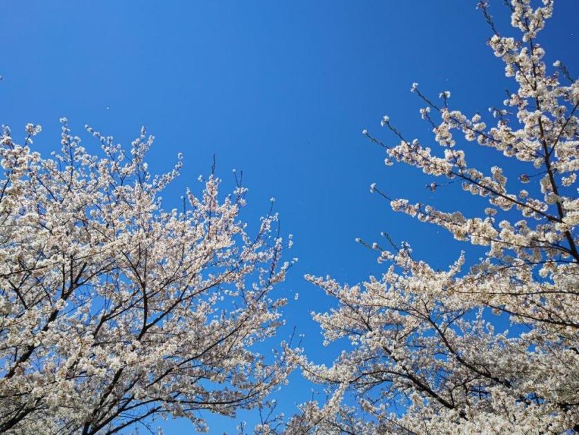
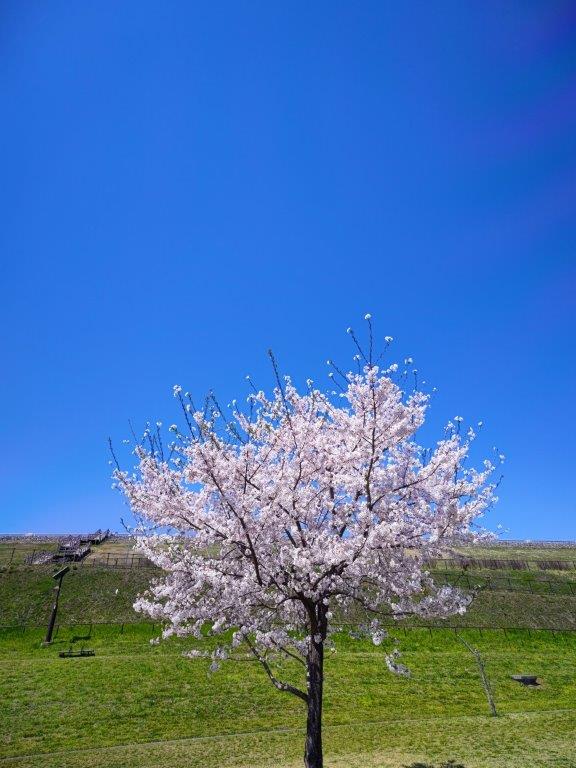
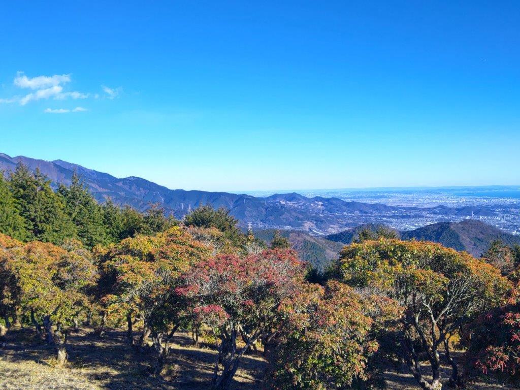
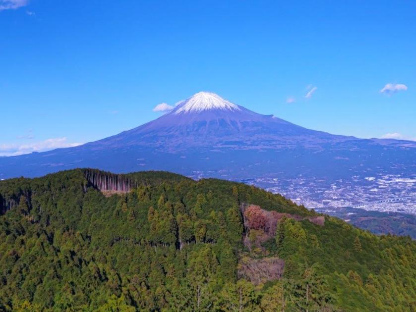
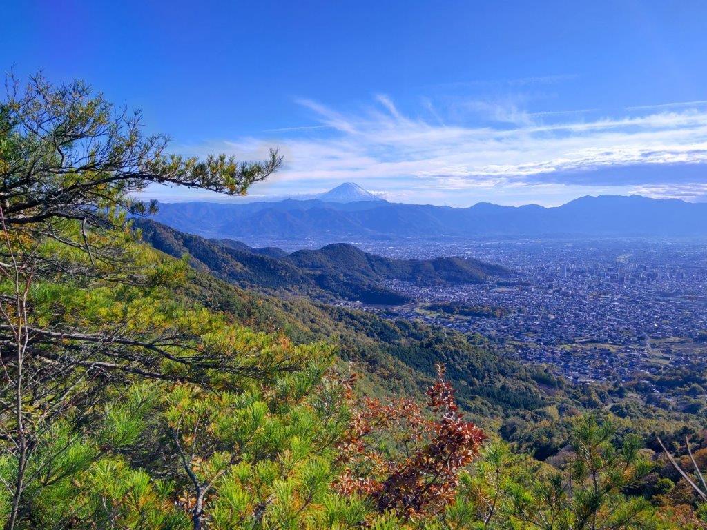
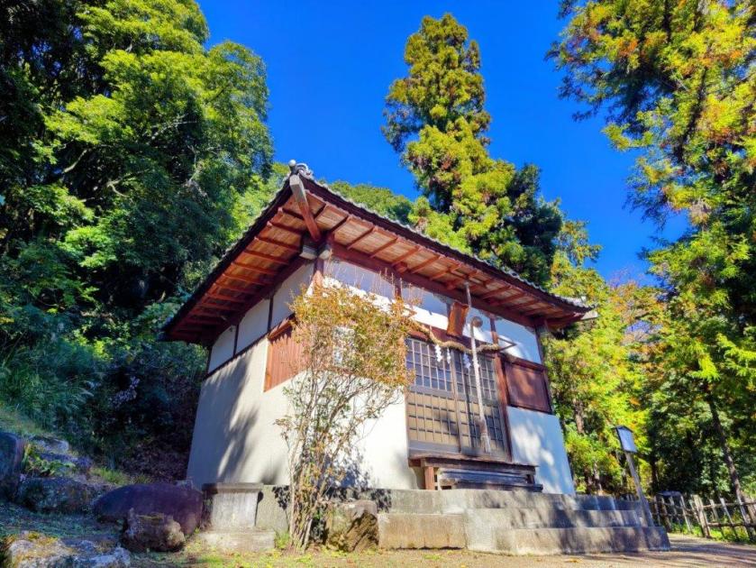
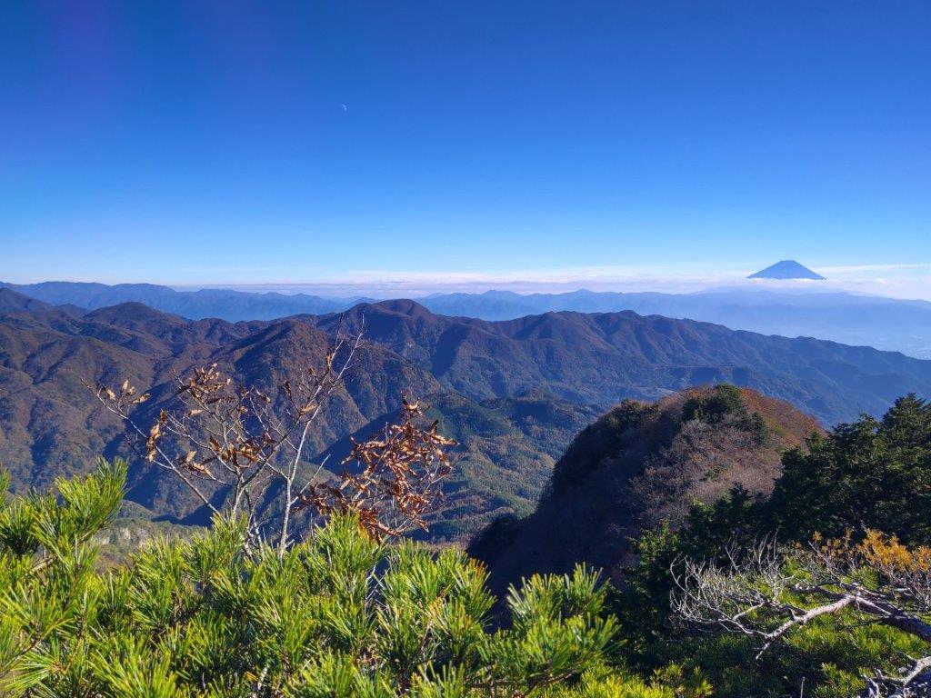
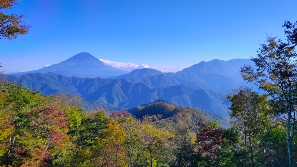
After a few minutes, I had my first Fuji view of the day, as I left the forest for a grassy area that continued all the way up the mountainside. Mt Fuji was mostly bare of snow with only a few white streaks around the summit crater, the climbing season less than a month away. I headed up the dirt path as it went straight up, getting steeper and steeper, passing several people on their way down. The grassy surroundings, due to past volcanic eruptions, offered plenty of wonderful views of the Fuji Five Lake Area. Less than half an hour after leaving Mikuni Pass, I reached the summit of Mt Teppogi (鉄砲木ノ頭 てっぽうぎのあたま teppougi-n0-atama also known as Mt Myojin 明神山), marked by a stone shrine; instead of “Mt” the Japanese name uses “head”, an apt description of the wide and slight rounded summit area.

Heading straight up Mt Teppogi

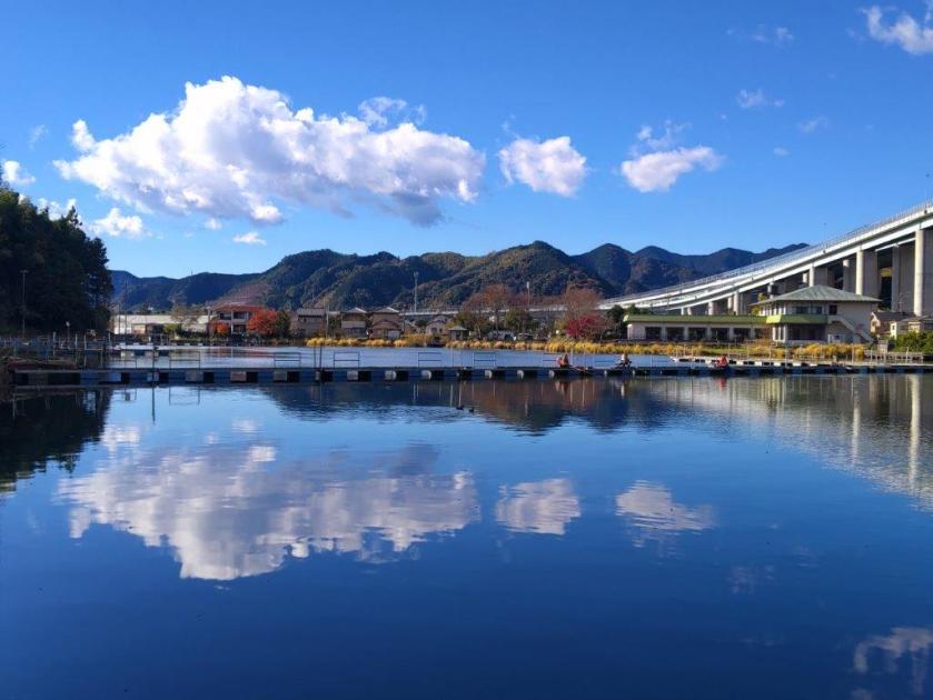
View of Mt Fuji and Yamanaka Lake
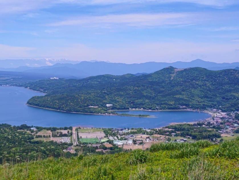
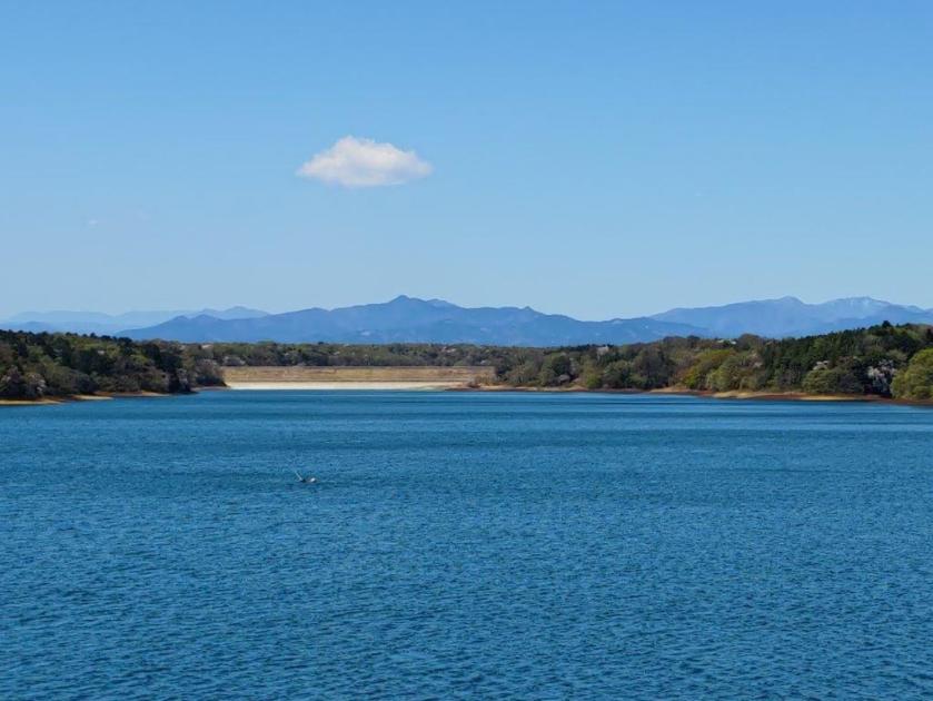
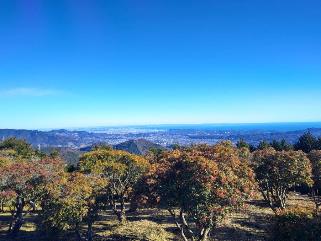
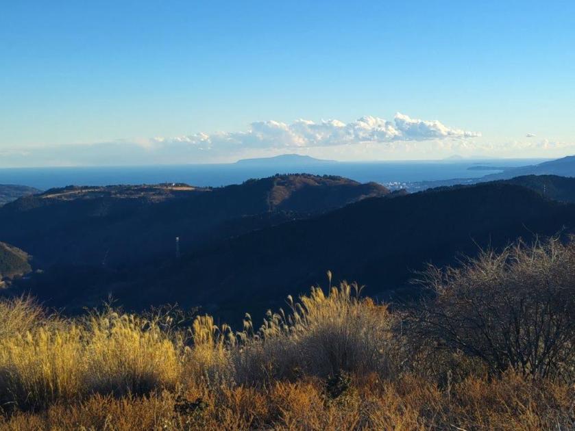
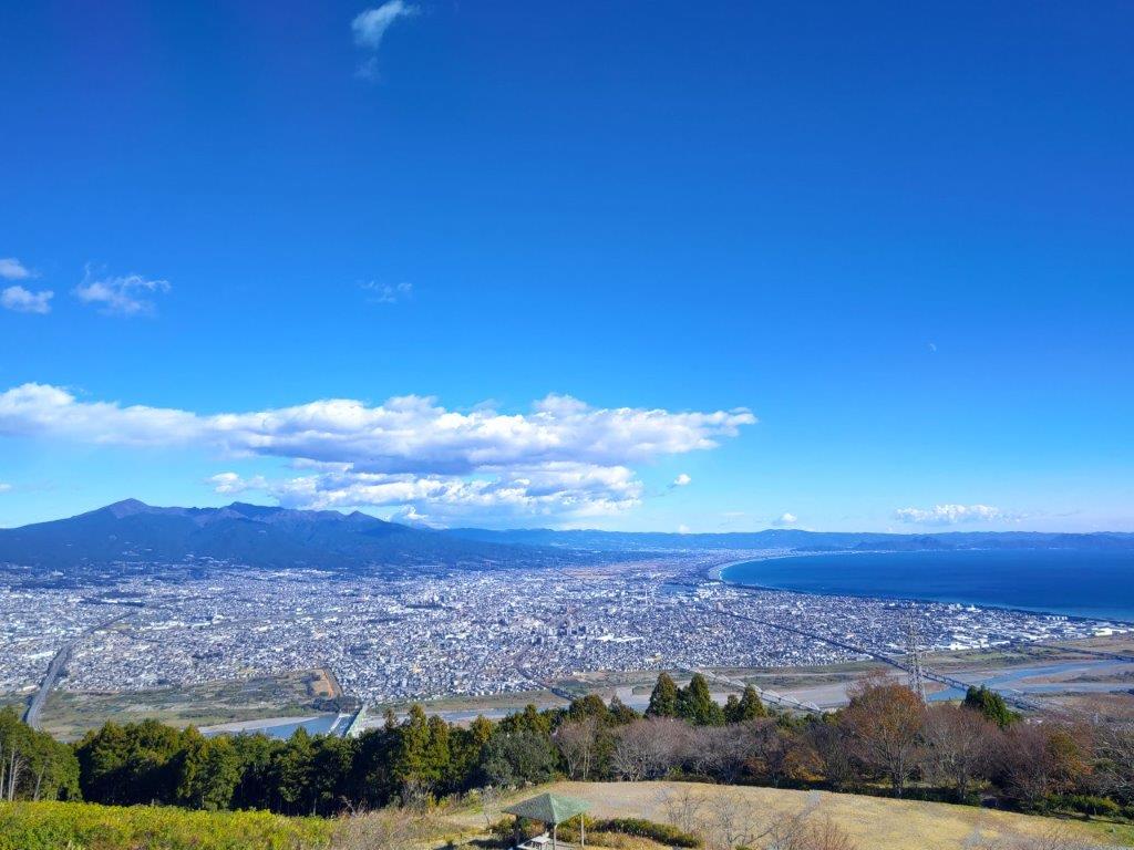
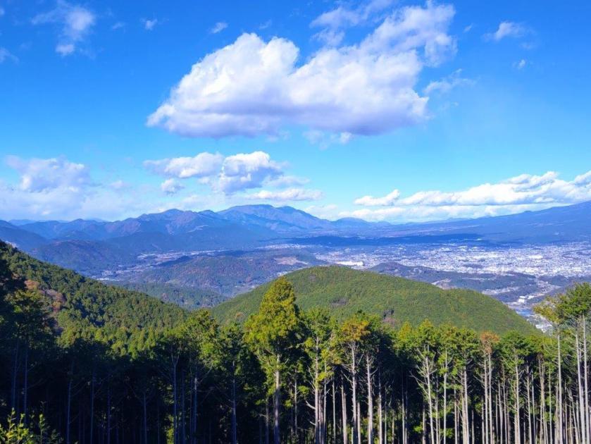
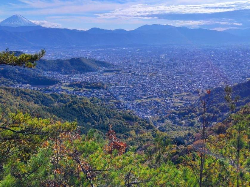
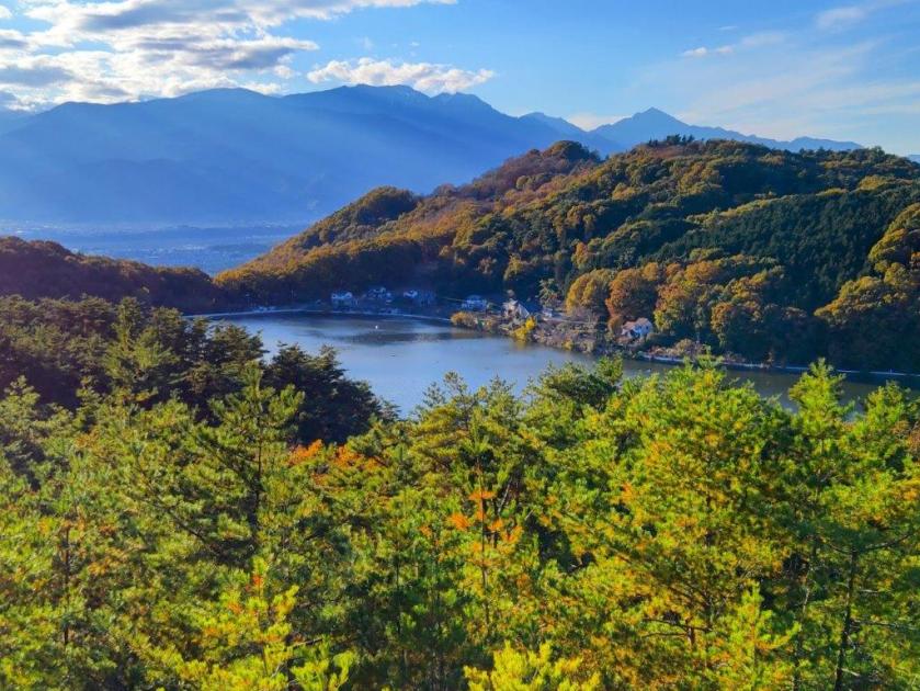
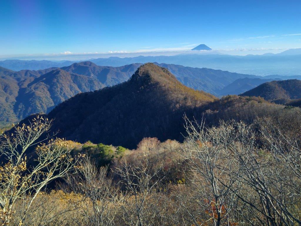
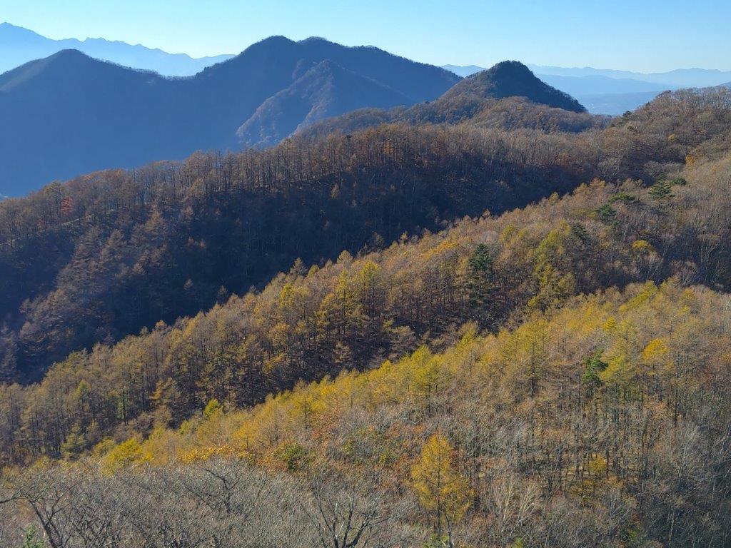
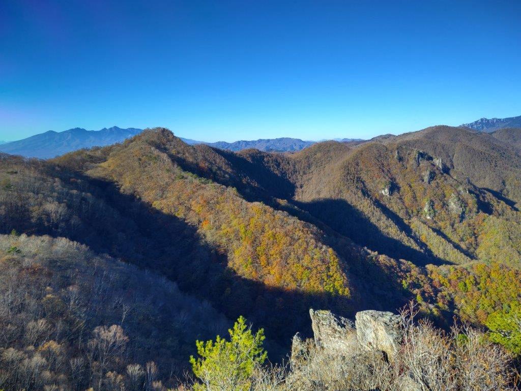
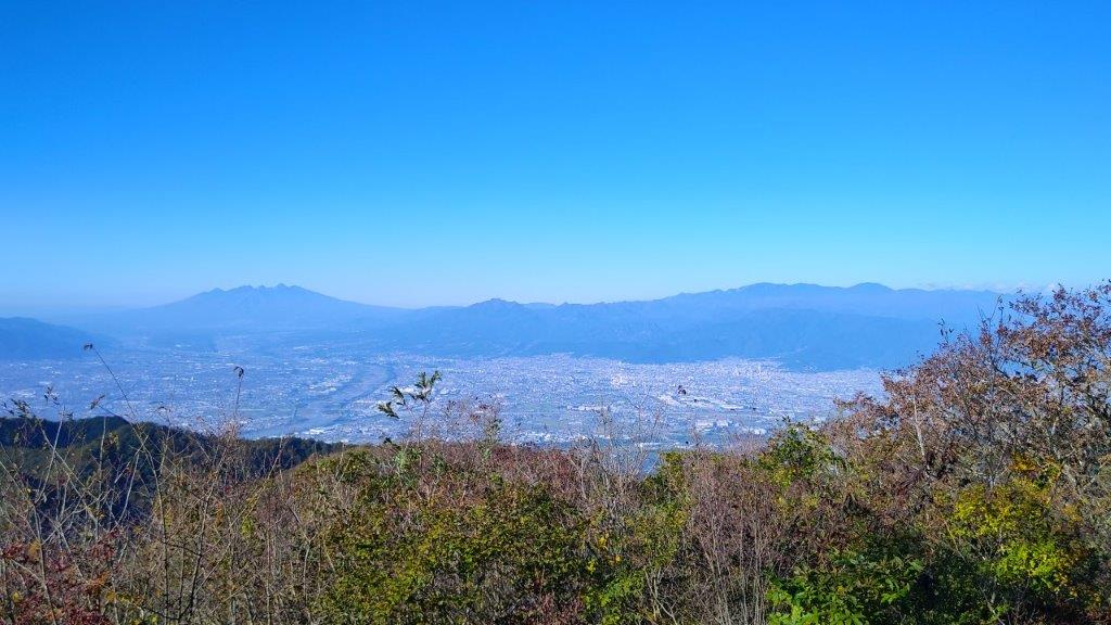
The panoramic view was stunning, one of the best I had seen in a while; I was glad I had woken up early today to travel so far. The high-altitude clouds that had appeared one hour ago were getting blown away by high-altitude winds, creating fantastic patterns in the sky above Fuji. On the south side was Mt Mikuni, covered in green forest; looking west, I could see Mt Fuji and Yamanaka Lake with the white peaks of the South Alps visible in the distance; to the north was Mt Ishiwari, with behind it, Mt Mitsutoge and Mt Mishotai, left and right respectively. It was too early for a lunch break, only 11am, so after enjoying the view, I set off again.

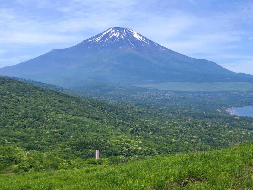
View from the Summit of Mt Teppogi

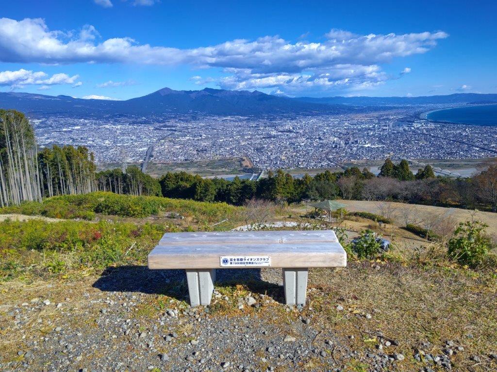
A Popular Spot to See Mt Fuji
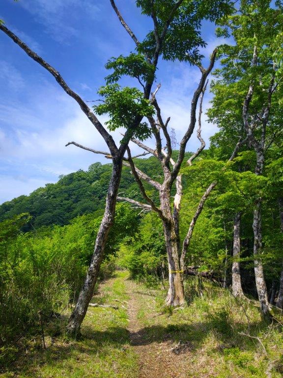
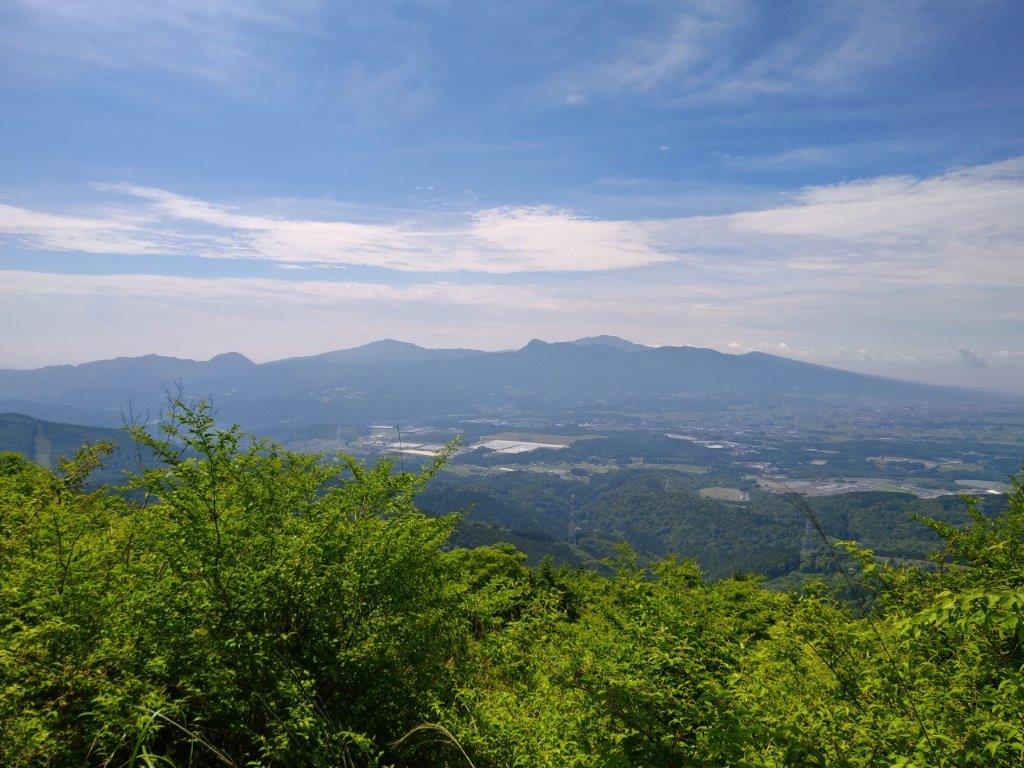
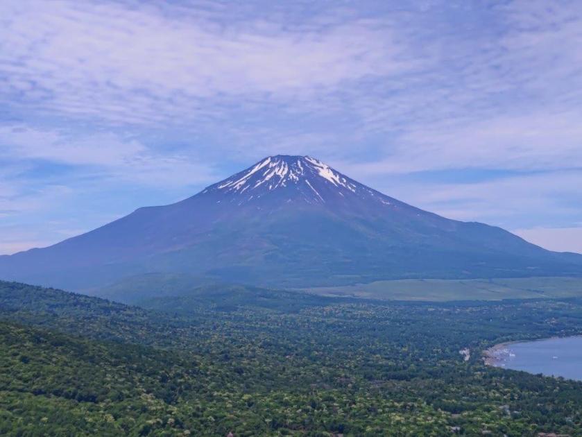
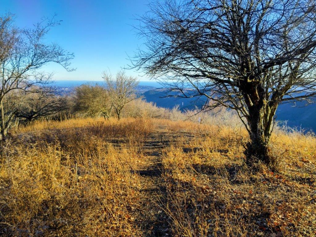
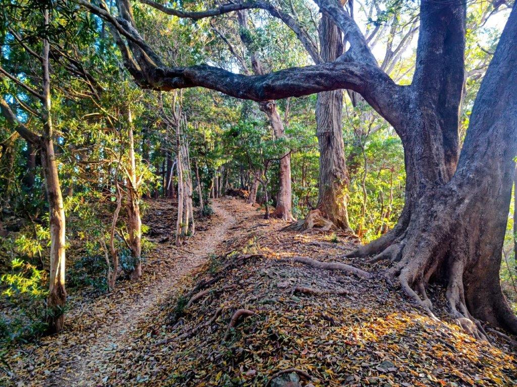
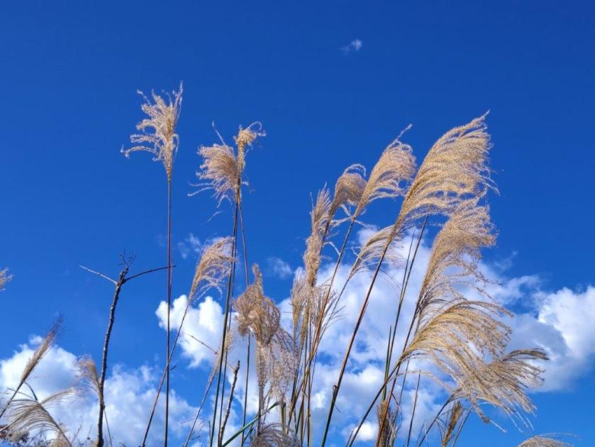
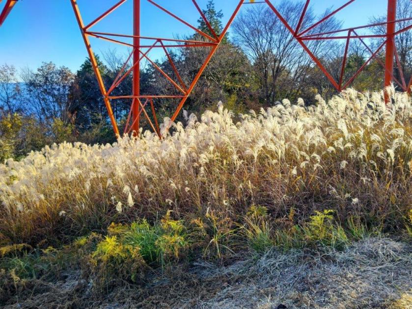
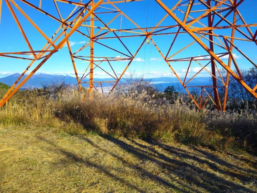
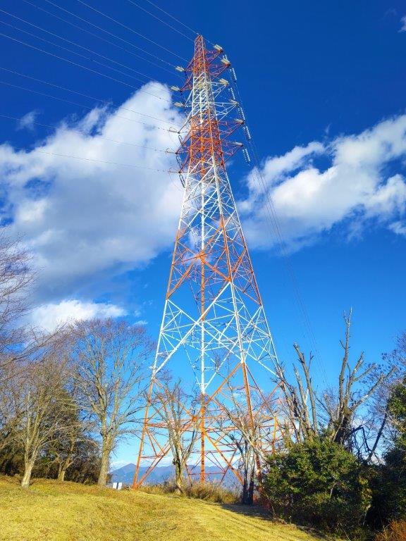
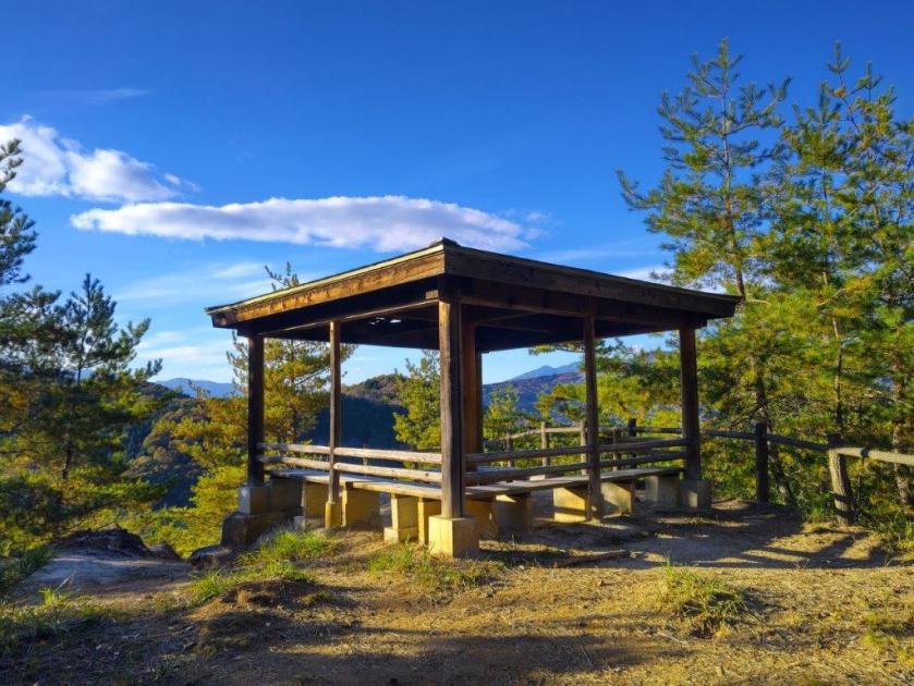
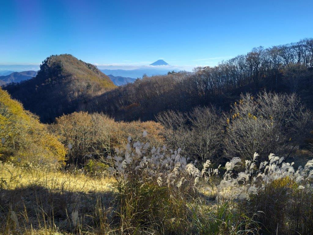
The path headed straight down, through thick forest covering the east side. I moved quickly with no views to distract me, and half an hour later, passed Kiridoshi Pass (切通峠 1050m), after which the path started to climb gently. The trees thinned, allowing some green grass and blue sky to gradually reappear. I was now walking along the Tokai Nature Trail (東海自然歩道), which I had last followed just 6 months ago. As the noon chime started to play through the valley, I arrived at Mt Takazasu (高指山 たかざすやま takazasu-yama). The view on the west side, beyond dried stalks of pampas grass (“susuki“), was similar to the previous one, although with more clouds. Since it was noon, I sat on the shaded side of a wooden platform for an early lunch break.

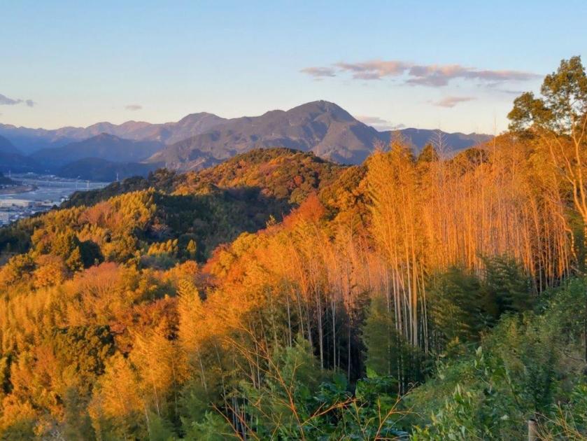
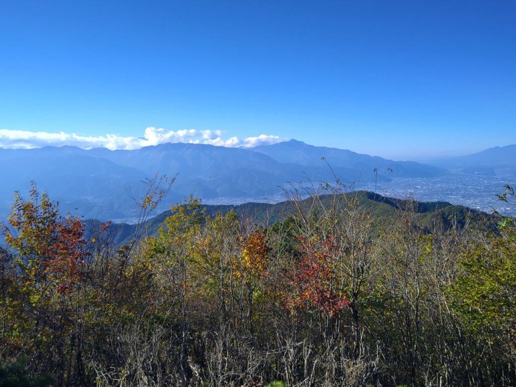
Mt Ishiwari (Center), Mitsutoge (back left) & Mt Mishotai (back right)

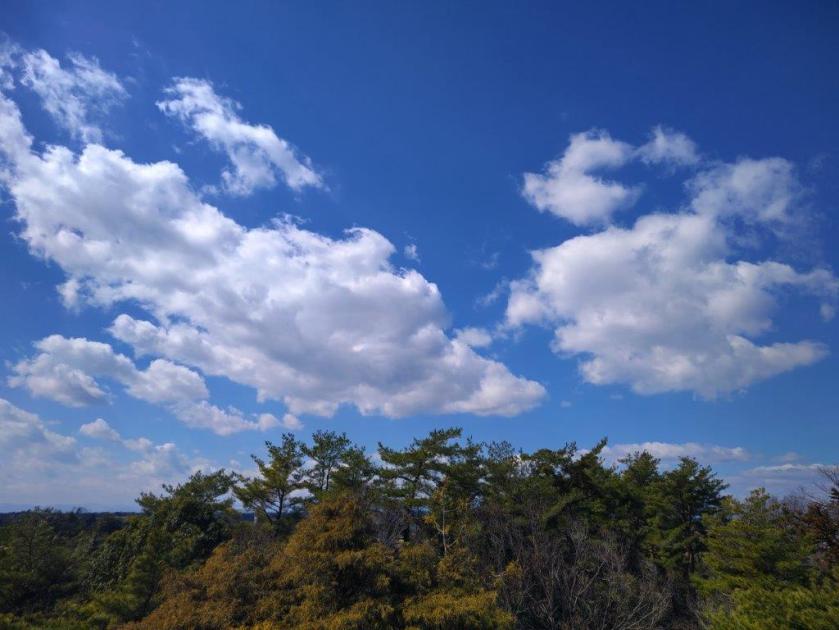
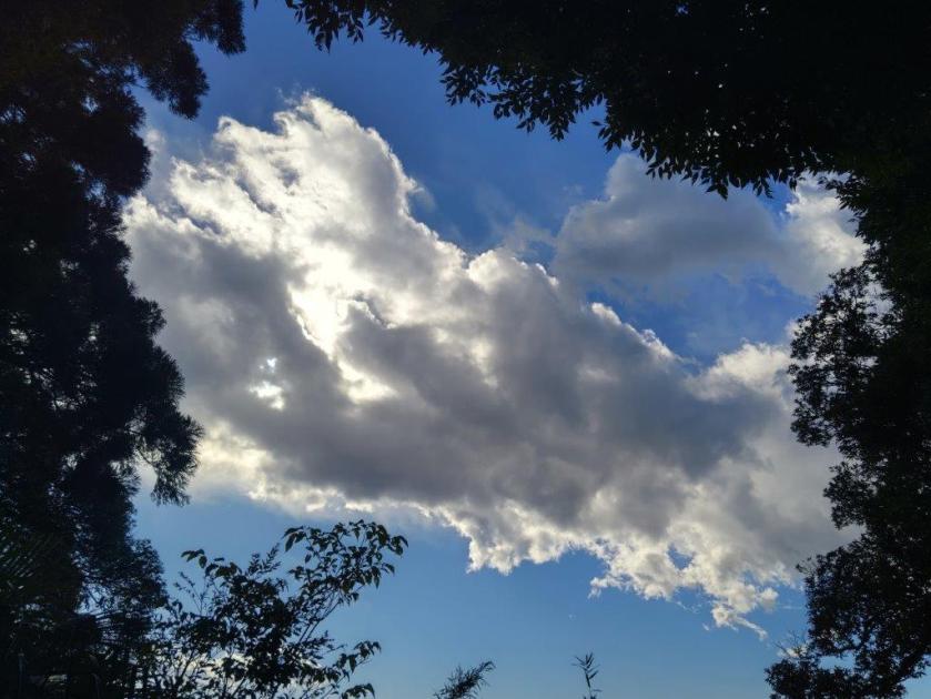
Clouds Spreading through the Sky
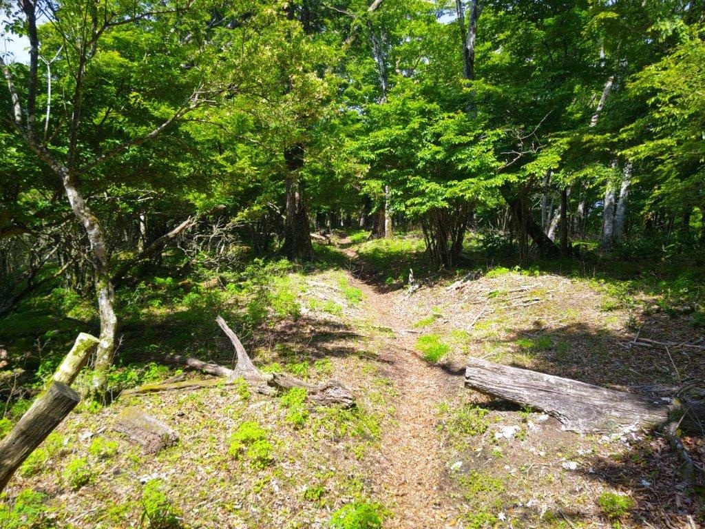
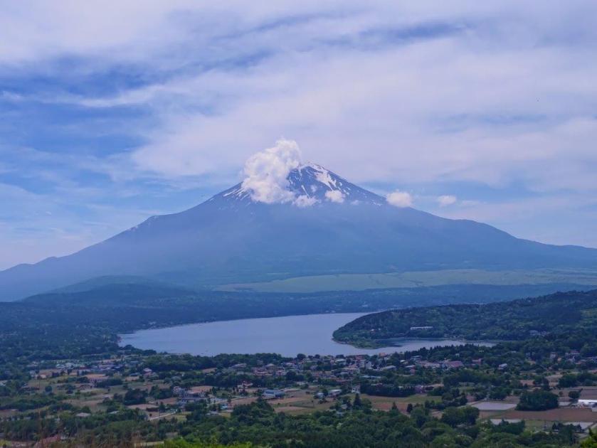
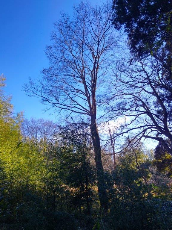
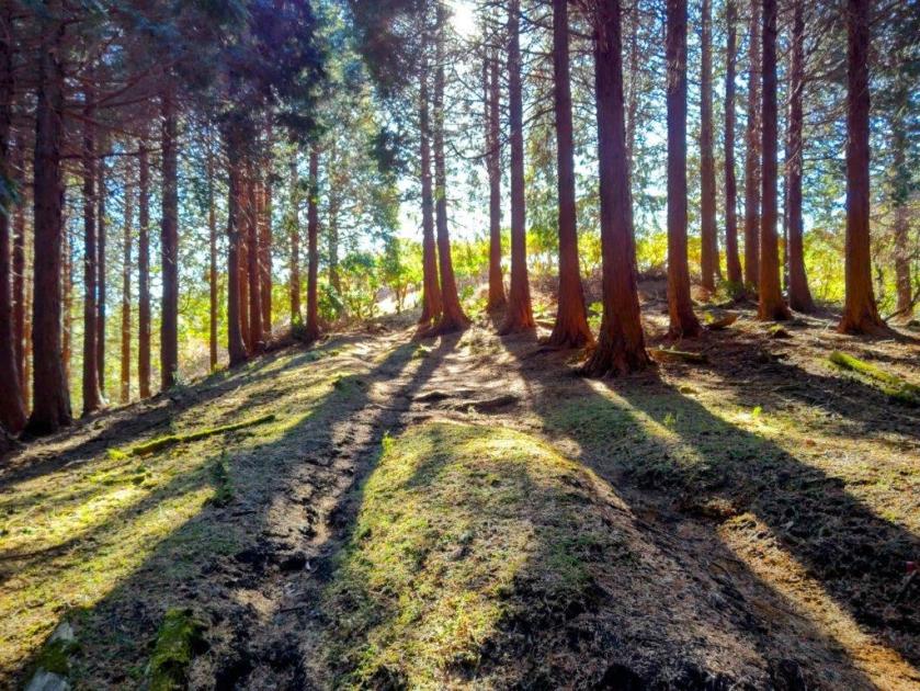
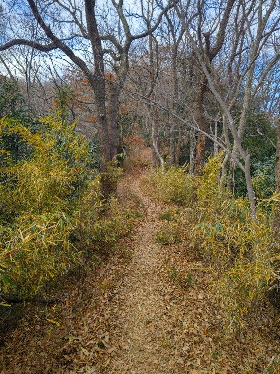
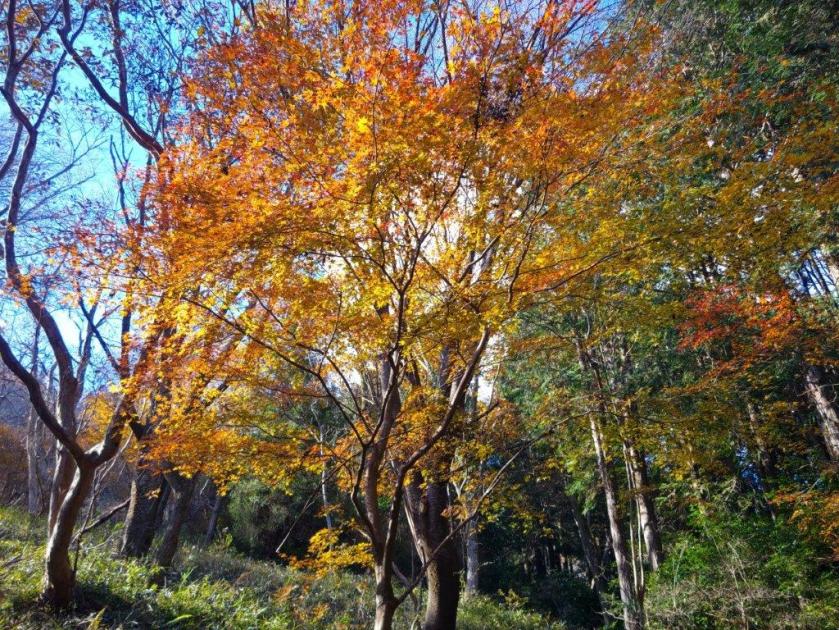
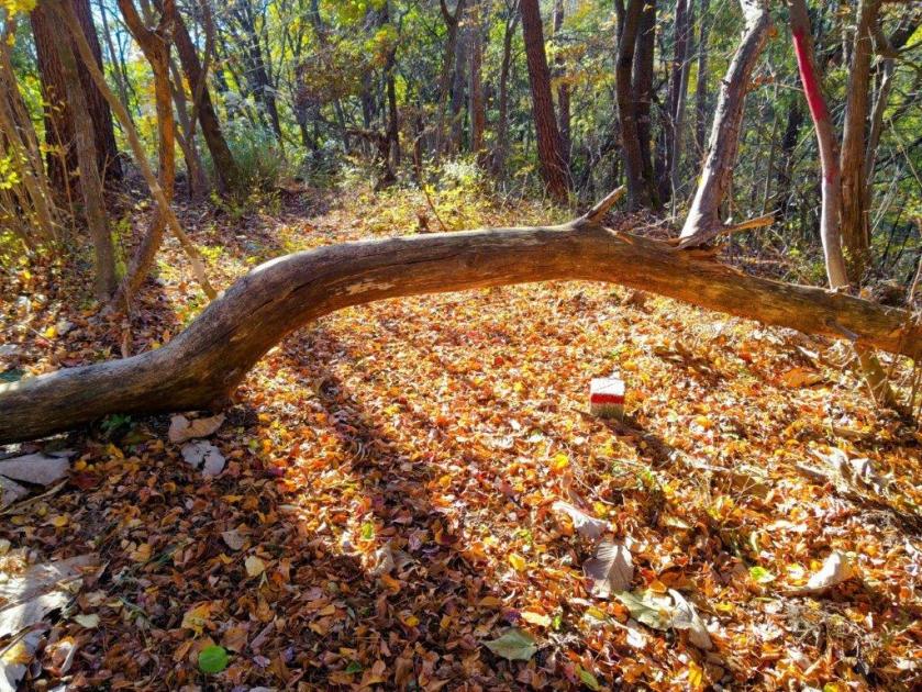
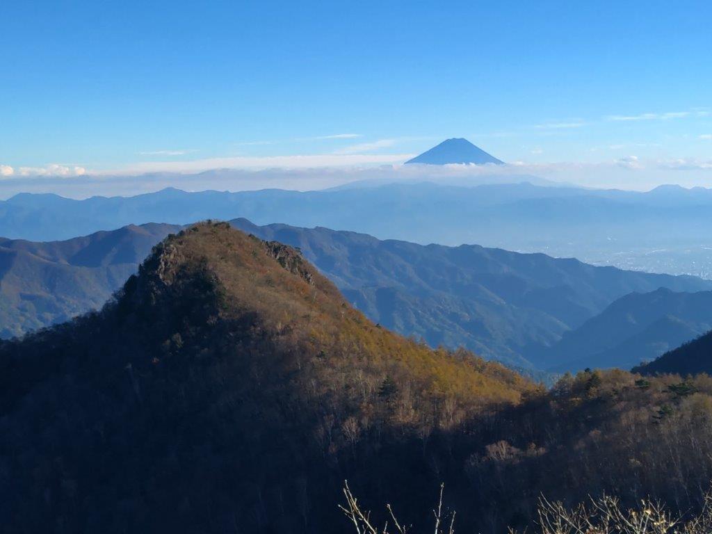
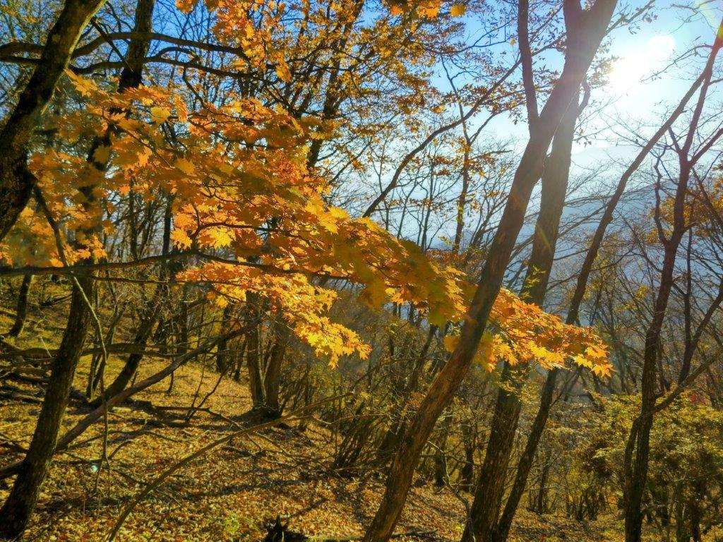
After setting off again, I found myself walking through more thick forest, along a mostly level path; although I was deprived of views in all directions, I was glad to be in shade at the hottest time of the day. Very soon, I reached the third and final summit of the day, Fujimisaki-daira (富士岬平 1170m); this time, the “Mt” was replaced by “plateau”, indicating its relatively small prominence along the ridgeline. By now, puffs of cloud were covering the highest part of Mt Fuji, giving it kind of retro hairstyle. After a short break, I headed down a path on west side, leaving behind the Tokai Nature Trail.

Mid-morning Blue Skies
Grass Reappearing below Mt Takazasu
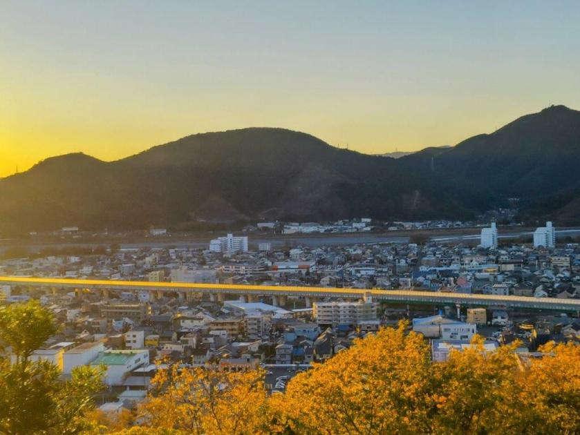
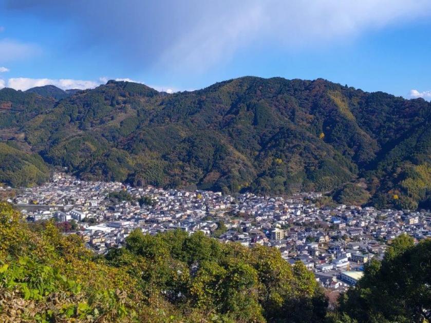
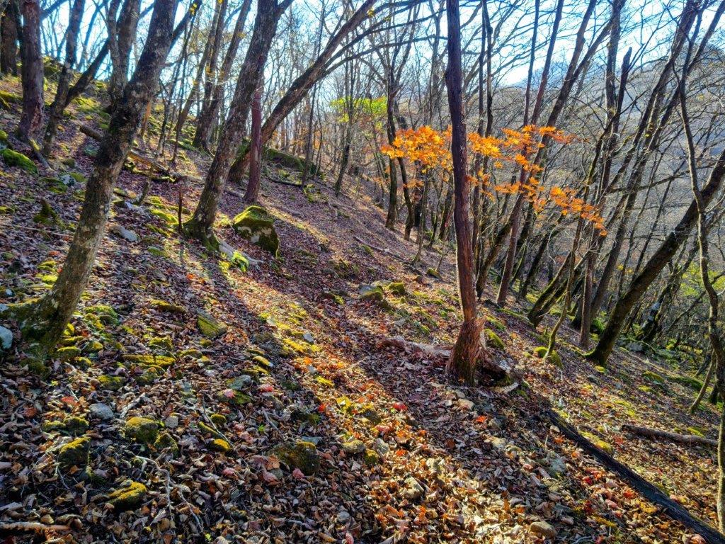
The path was steep and eroded making this descent the toughest part of today’s hike. Fortunately, I soon reached a road leading through an area of mostly deserted villas. I always enjoy walking past holiday homes, trying to imagine what it must be like to spend a summer weekend there. I eventually reached a main road where I turned left. After a 15-minute walk, I reached the entrance to the hot spring and was disappointed to find out that it was closed. Apparently they were doing some temporary renovations, which wasn’t the case when I first planned the hike a few weeks ago. I was confident I could find some alternative and marched on under the hot sun to the Yamanakako Hirano tourist office.
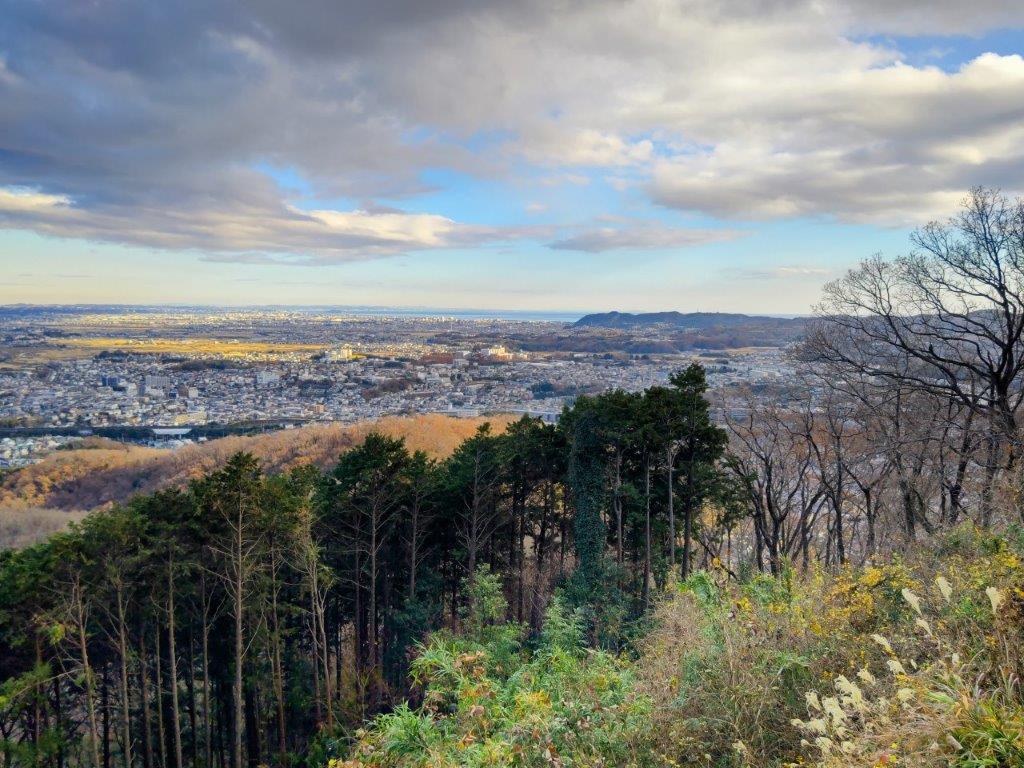
View from Mt Takazasu

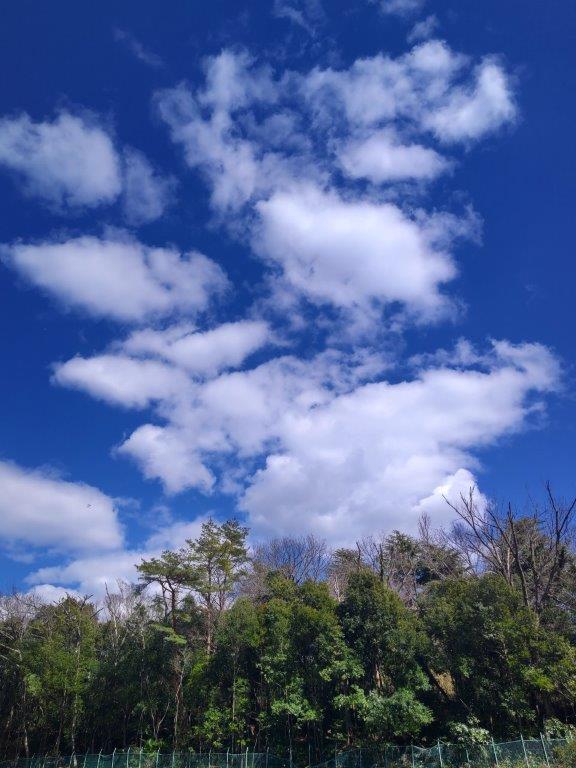
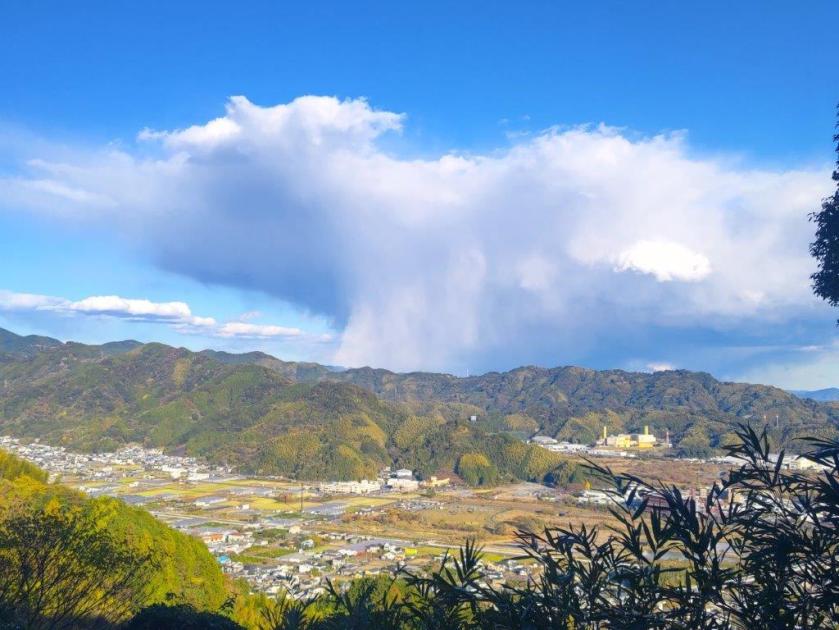
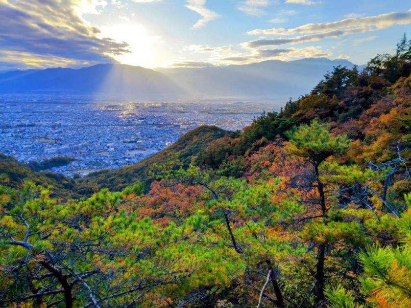
The Clouds have Reappeared
I was delighted when the lady from the tourist office told me there was a a hot spring hotel just down the street that accepted day trippers. Although it didn’t have an outdoor bath, I was happy to be able to wash off the sweat and change into some fresh clothes. At 2pm, I had the bath to myself, with a view of the ridge I had just hiked on the west side. One hour later, a taxi dropped me off at the Asahigaoka bus terminal. Although, the bus for Gotemba showed up late, typical for the Fuji Five Lake area, I still arrived at the station with plenty of time to spare, and a little before 5h30, I boarded the limited express for the comfortable ride back to Shinjuku.

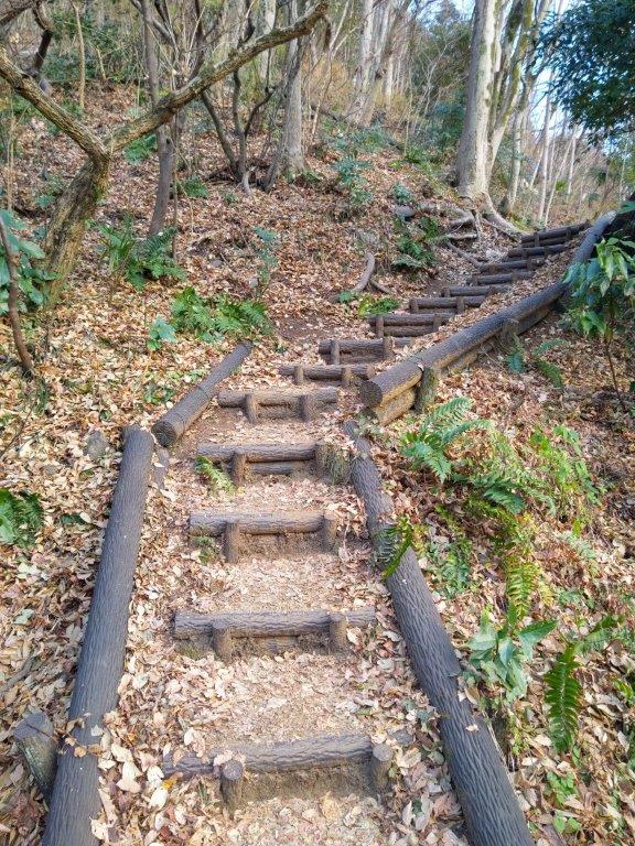
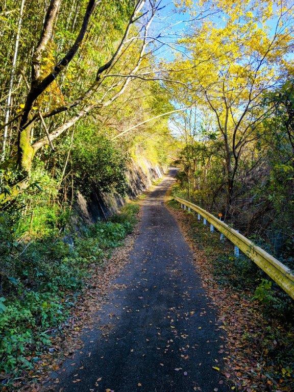
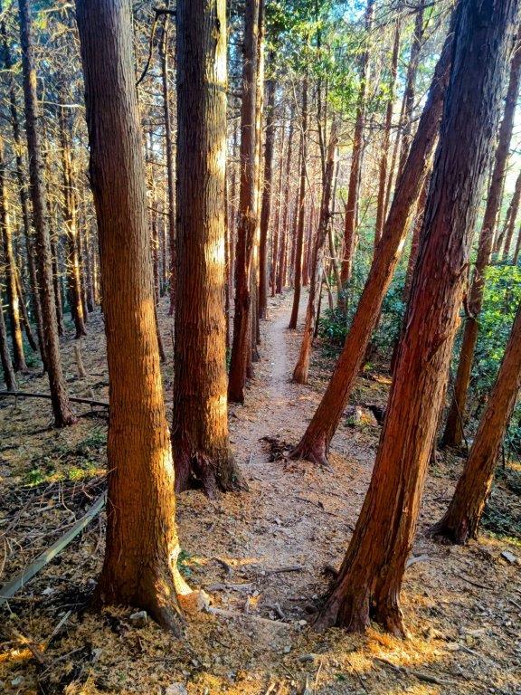
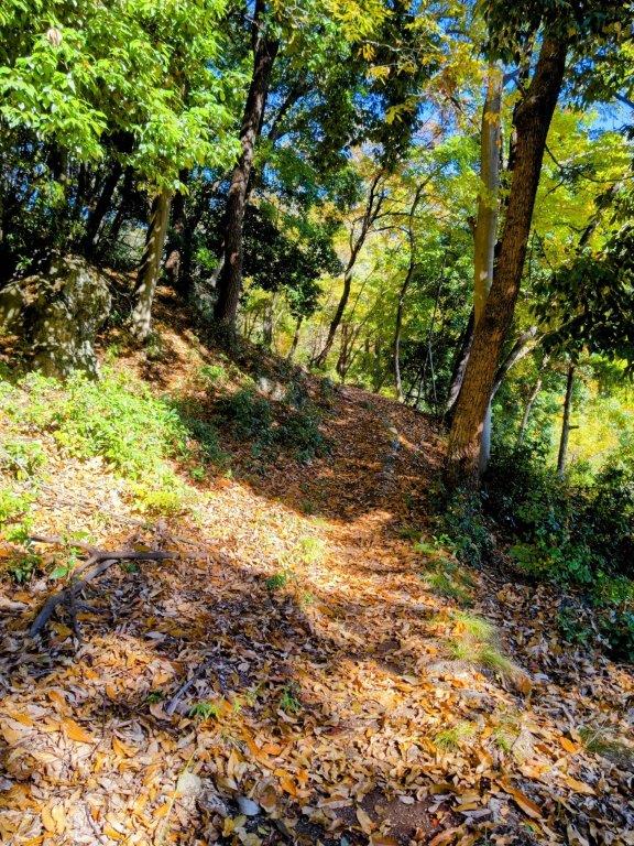
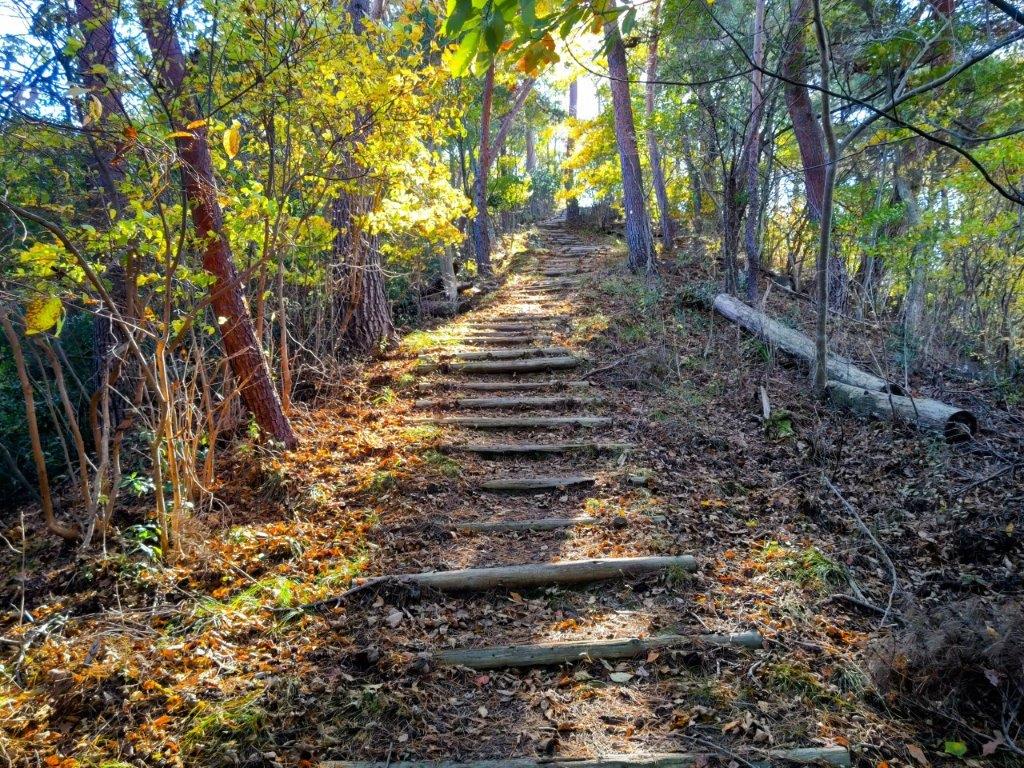
Trail between Mt Takazasu and Fujimisaki-daira

Mt Fuji in the Clouds
In total this hike took about 5 hours, with little ascending and descending, although including travel time, it was nearly a 14-hour outing. This was mainly because I took a longer way back to avoid the masses of tourists heading back from Kawaguchiko, and also because of my preference for limited express trains and post-hike hot spring baths. Catching the seasonal bus to Myojin Pass was also a great way to get to the area, although it requires a very early departure (in my case, 6am); in this case I was rewarded with great views that I may not have gotten with a later departure. Hopefully, I can redo this hike, or a variant, in a different season when the Ishiwariyu hot spring is open.
Watch a Video of the Hike


See a Slideshow of More Pictures of the Hike


You must be logged in to post a comment.