
I wanted to visit Chichibu as I hadn’t been there since Mt Jomine last December. Looking through my guidebook, I found a four-hour hike along a ridge in northern Saitama, above a valley that used to be a secret Christian hideout during Tokugawa times. I could access it via train or by bus; I chose to go by train, allowing me to leave later, and then return by bus in the mid-afternoon. The weather for the next day was supposed to be sunny but windy, not much of a concern in the warmer spring days. I was looking forward to visiting this “hidden valley” and seeing the views on the border between Saitama and Gunma prefectures.

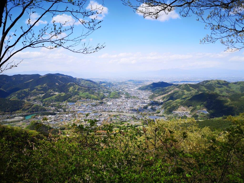
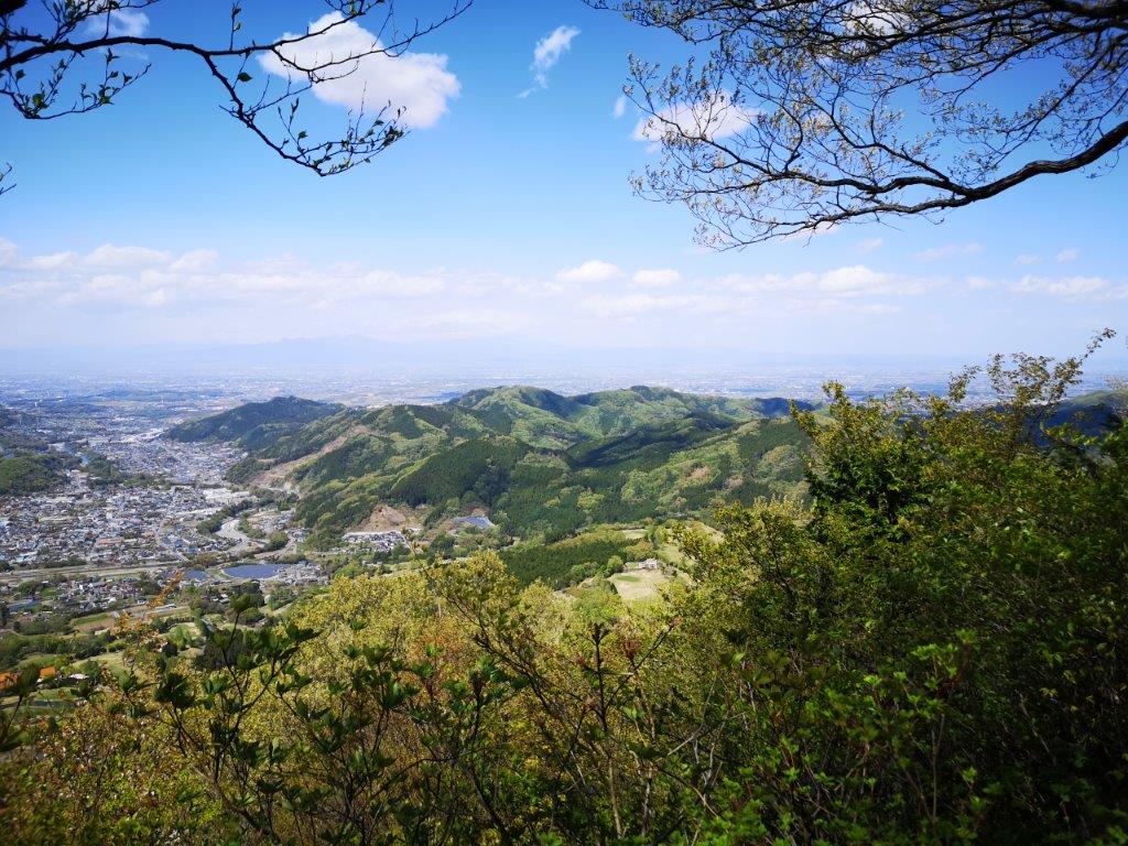
Looking down at Onishi town from the summit
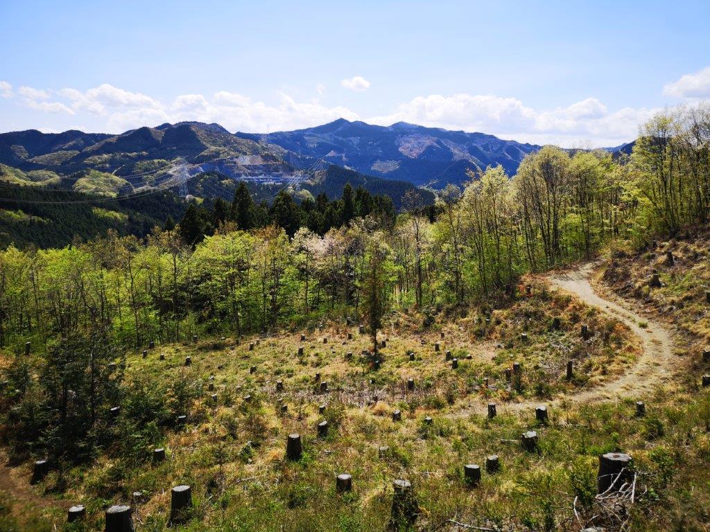
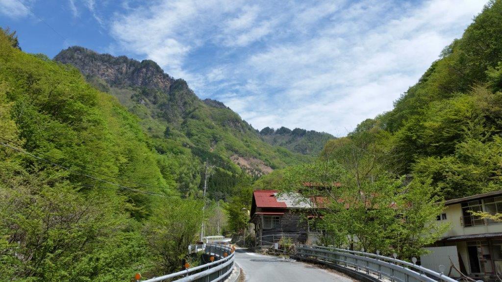
I arrived at Nogami station before 10am under light blue skies. After walking for thirty minutes along paved roads surrounded by light green hills, I reached a forest road up a small river valley which soon turned into a small hiking path. Just past 10am, I emerged onto a small road on the ridgetop where I was greeted by strong gusts of wind. I quickly continued down the other side and reached a clearing full of tree stumps – a good place to sit down for a late breakfast.

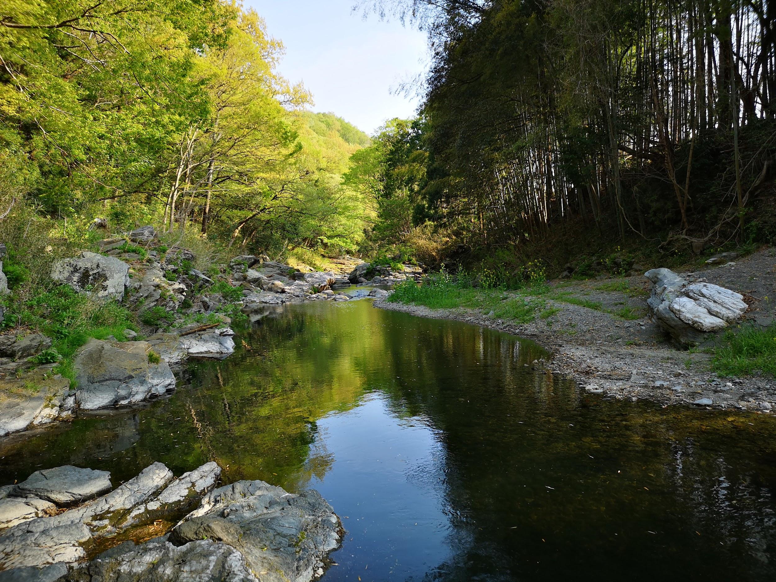
The forest road at the start of the hike

A good place for a break
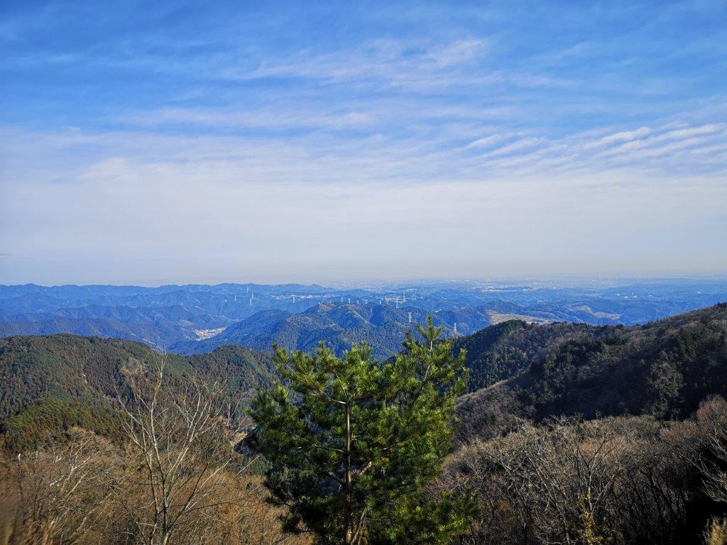
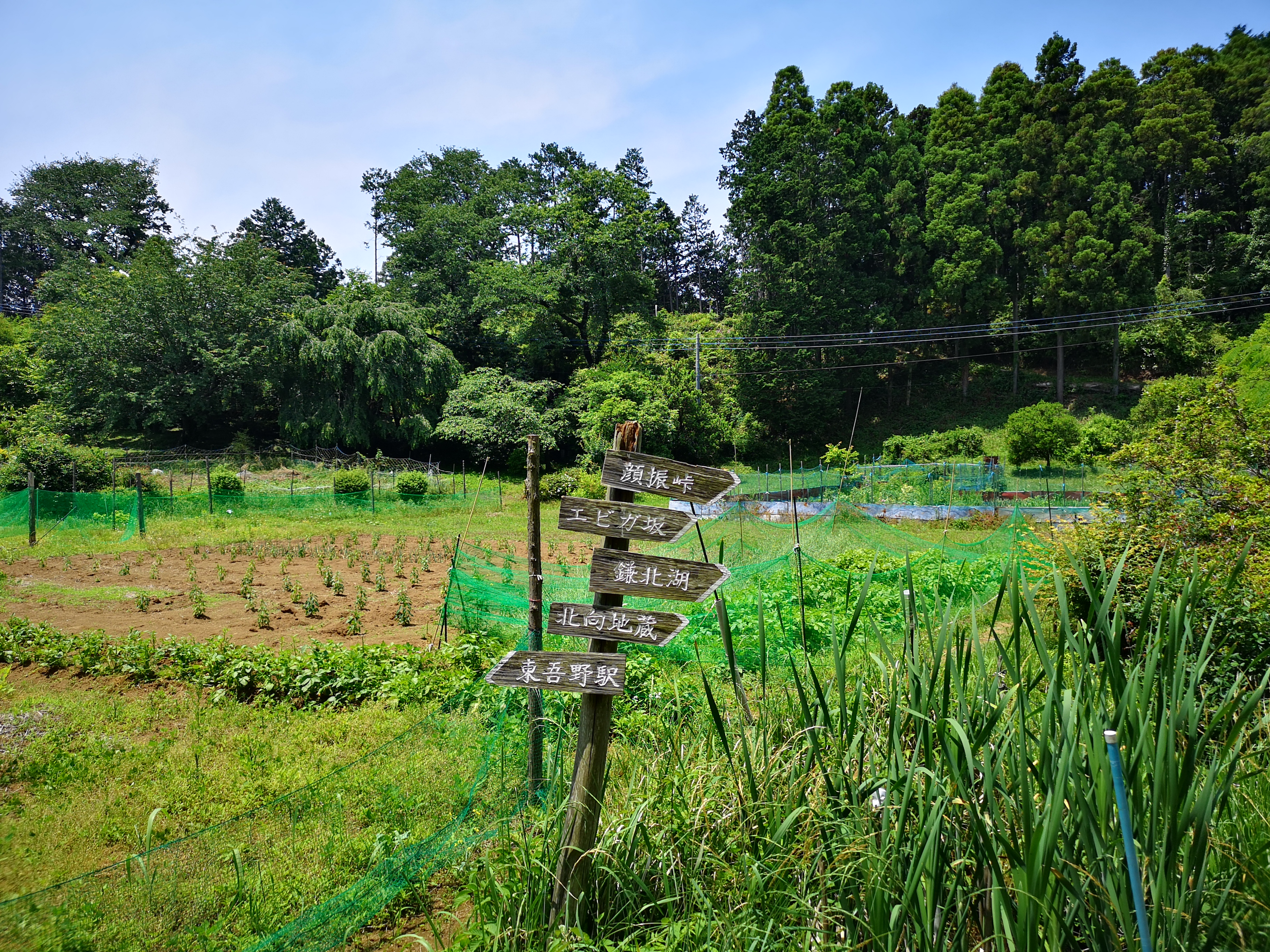
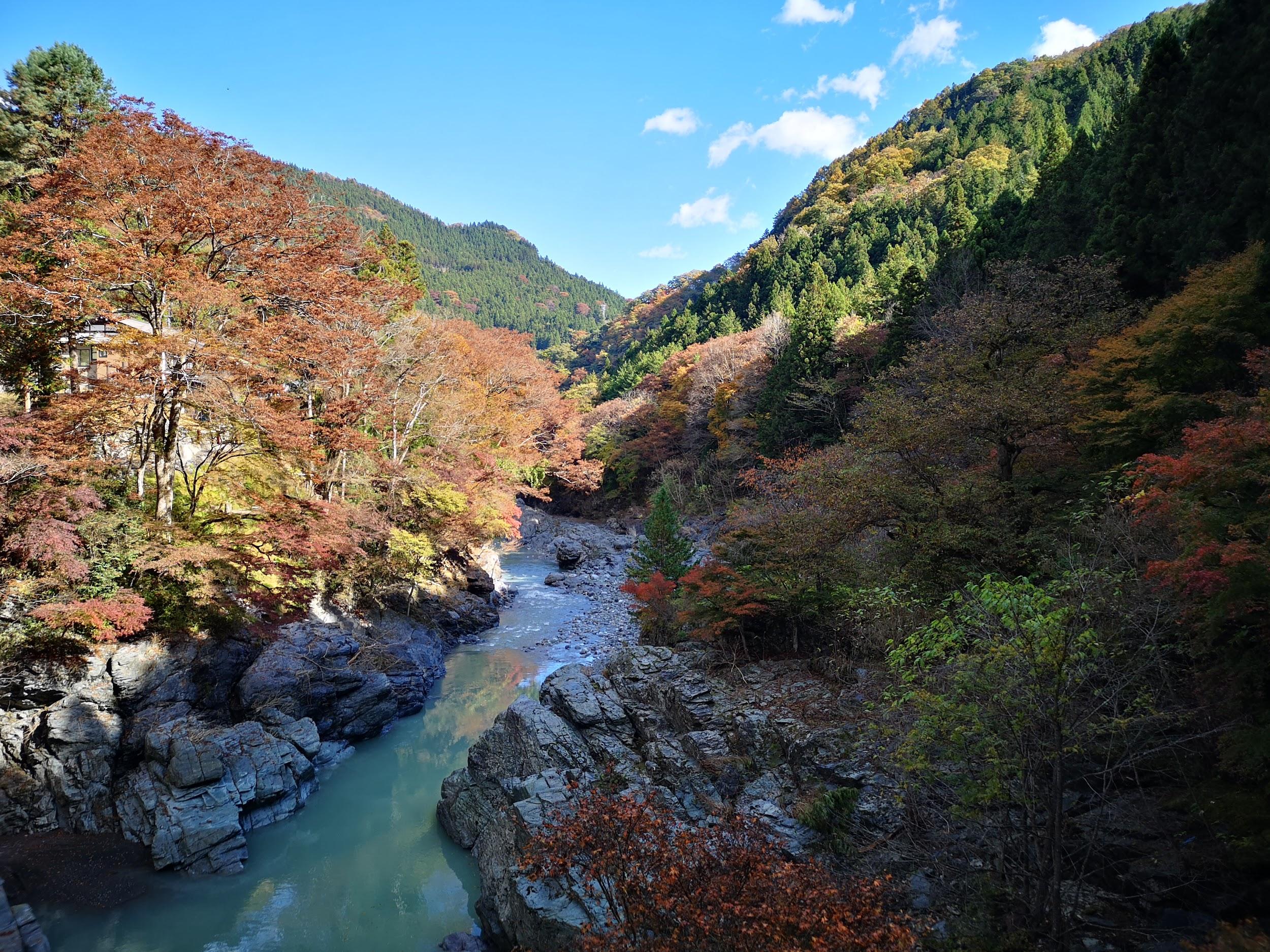
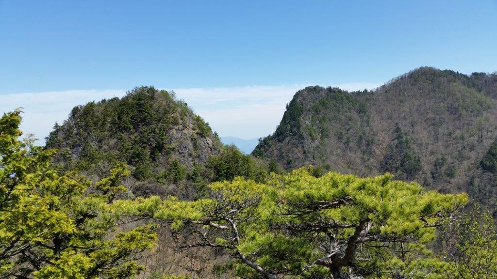
Opposite, I had a view of the today’s mountain, barely distinguable from the other minor peaks along the ridge. It was less windy here and I could hear many different birds singing nearby. I set off again and soon reached the road at the bottom of the valley. I turned right and followed the Koyama river downstream. I stopped by Hanaogi (花扇), a small confectionery shop, to buy some “manju“, buns filled with sweet-tasting red bean paste.

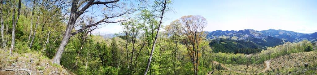
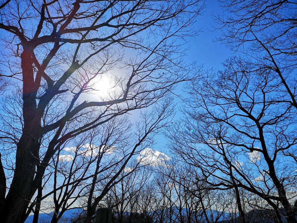
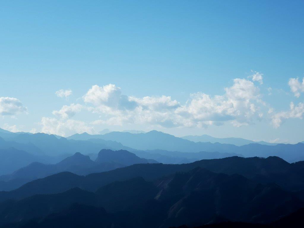
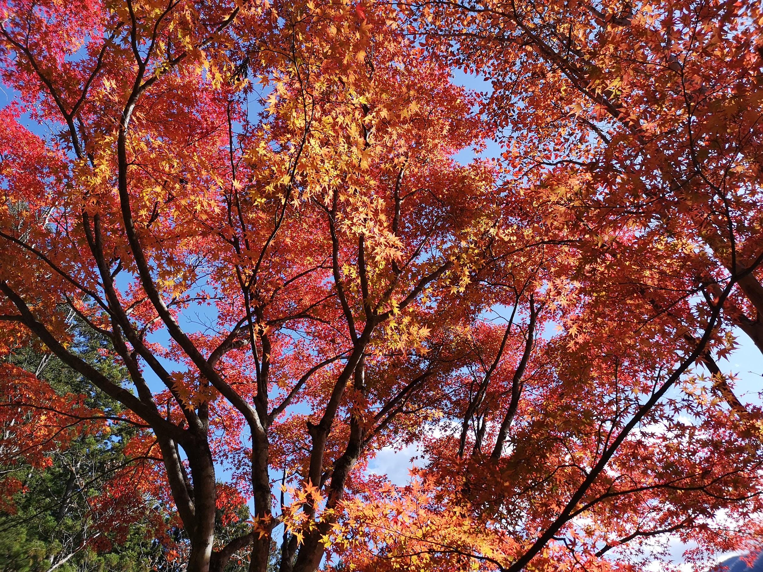
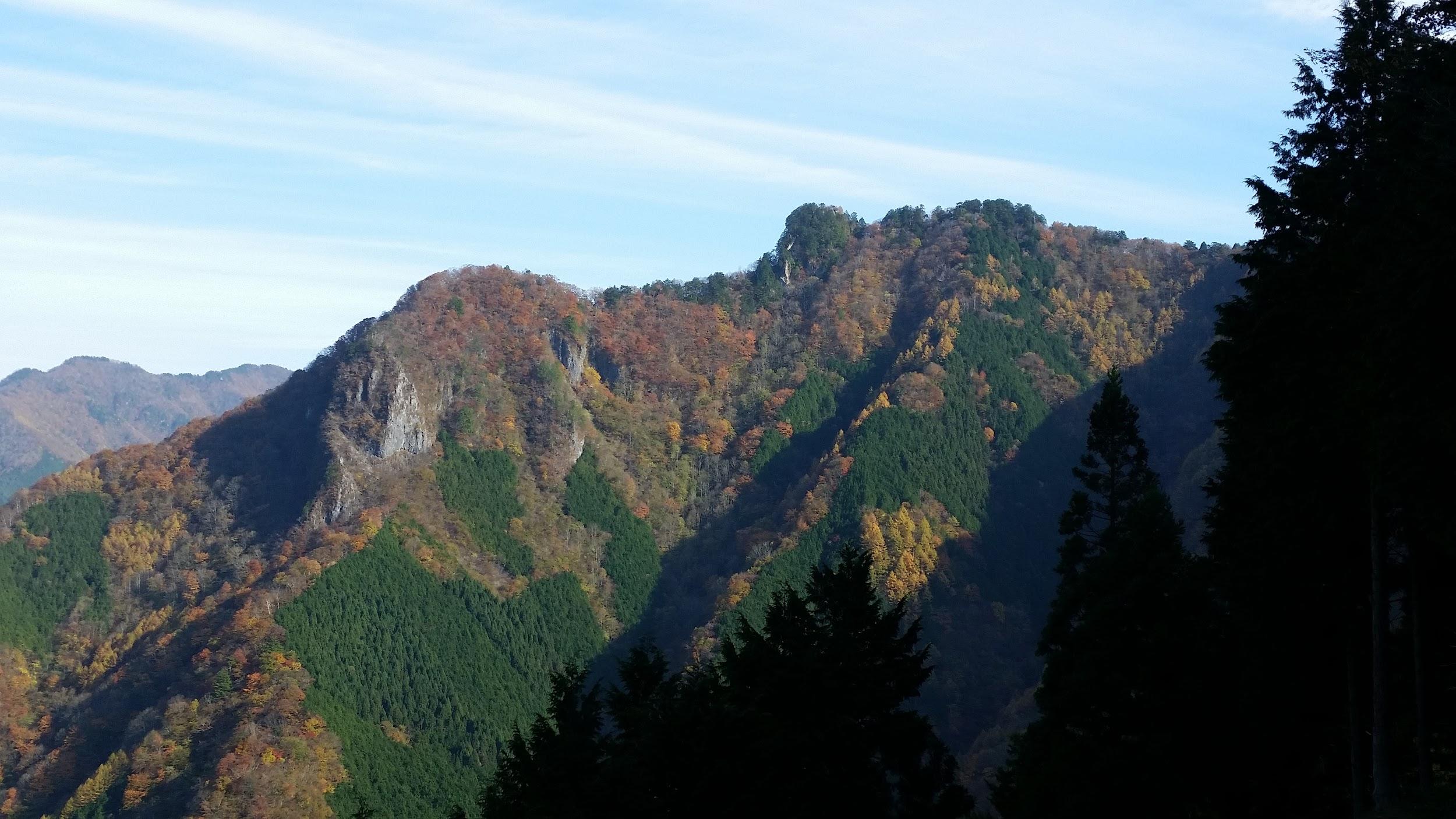
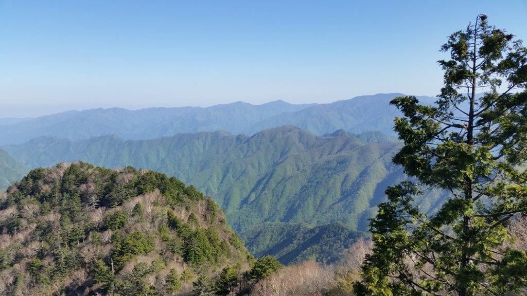
On the right side under the big cloud, Mt Yokogai
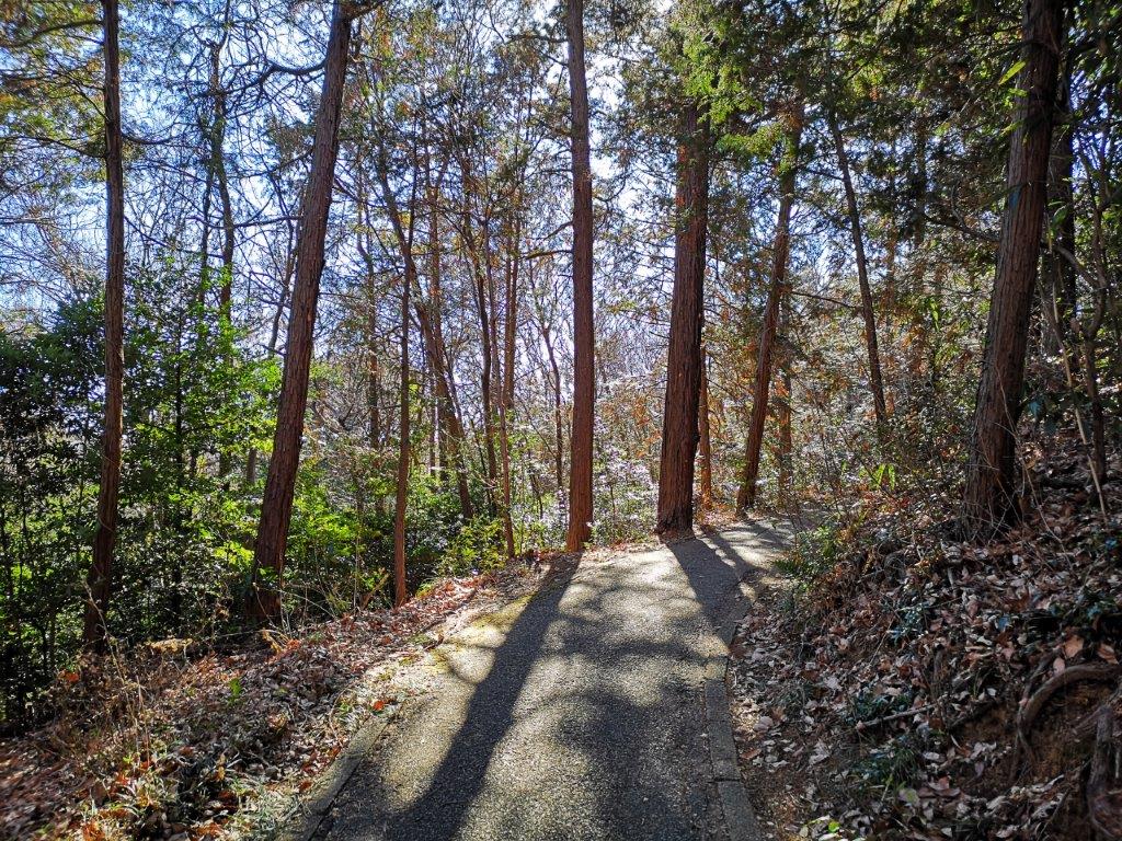
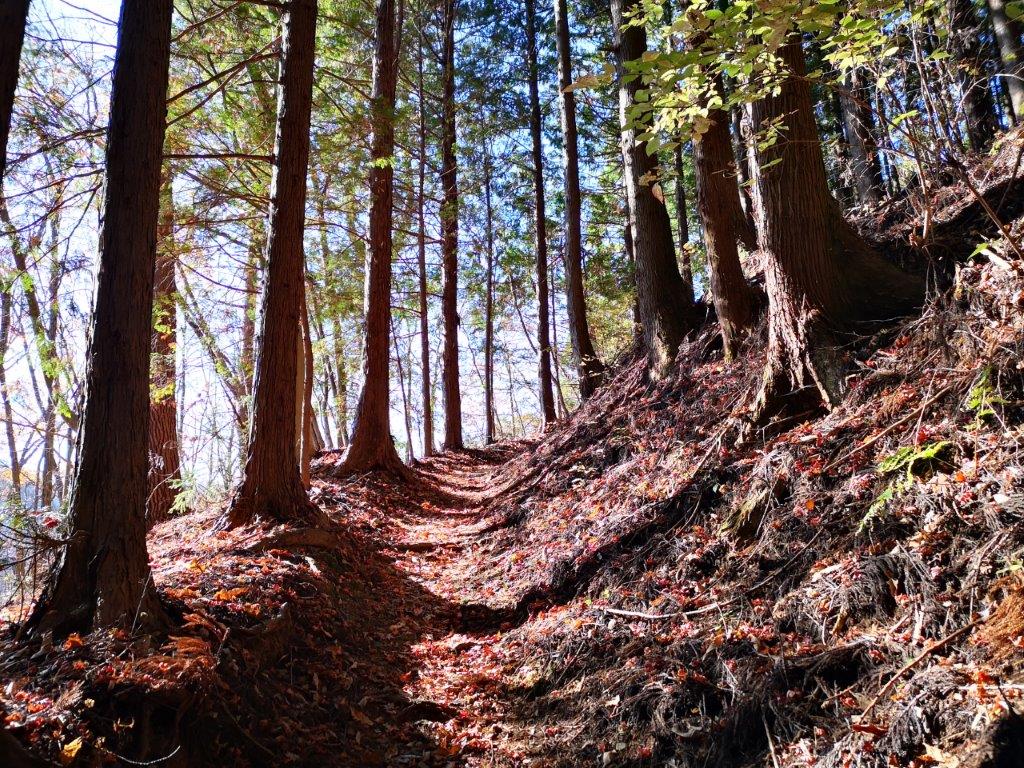
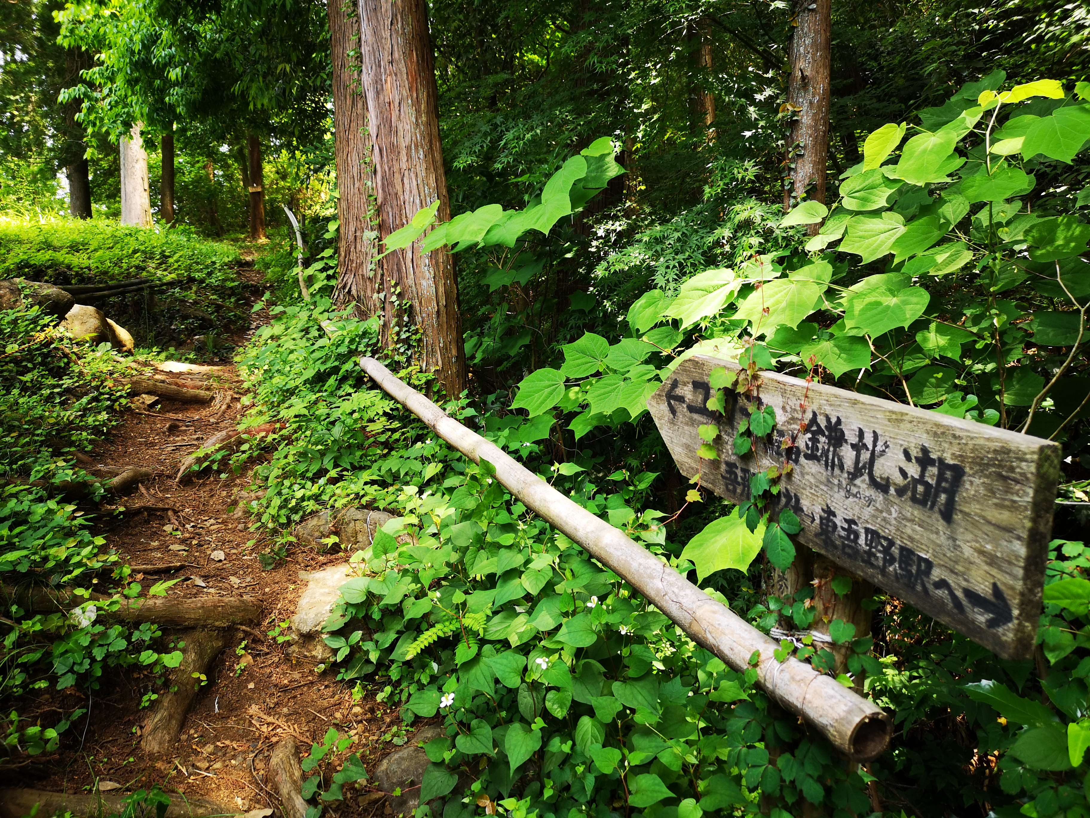
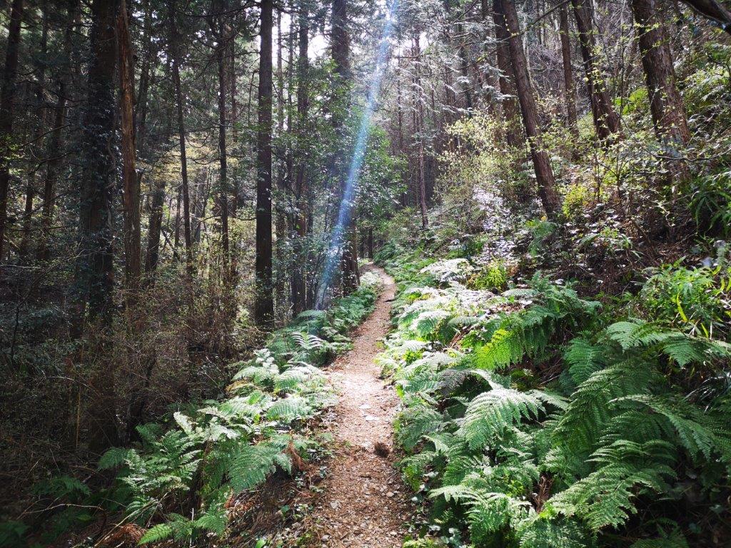
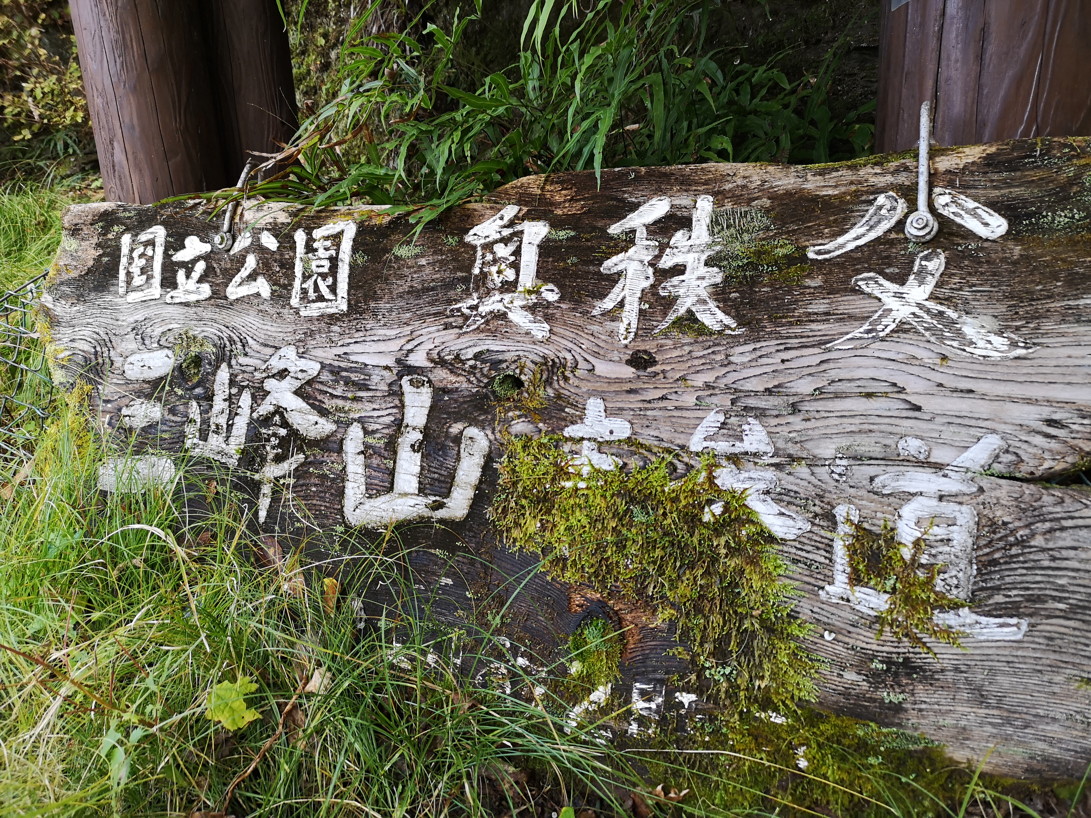
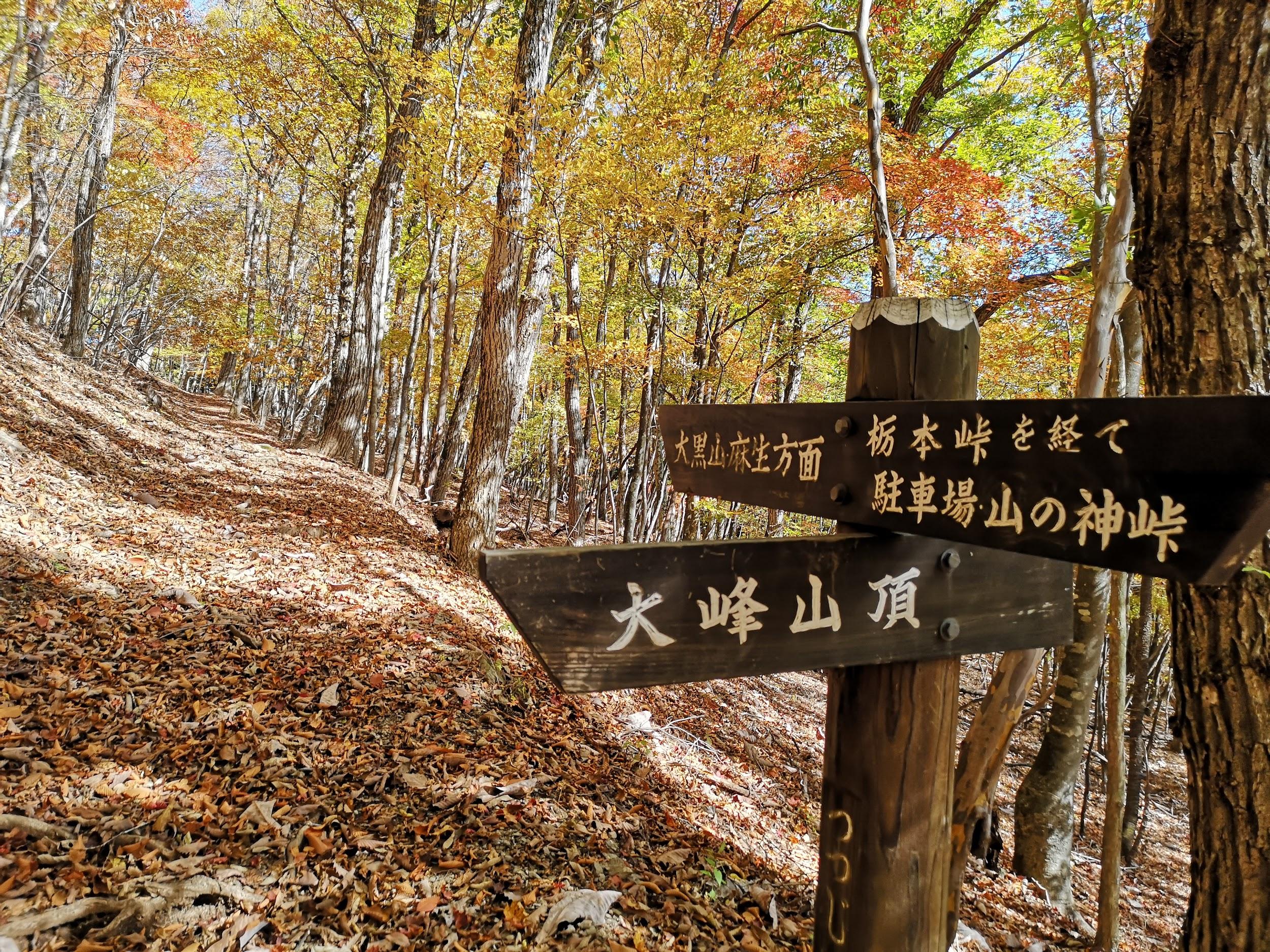
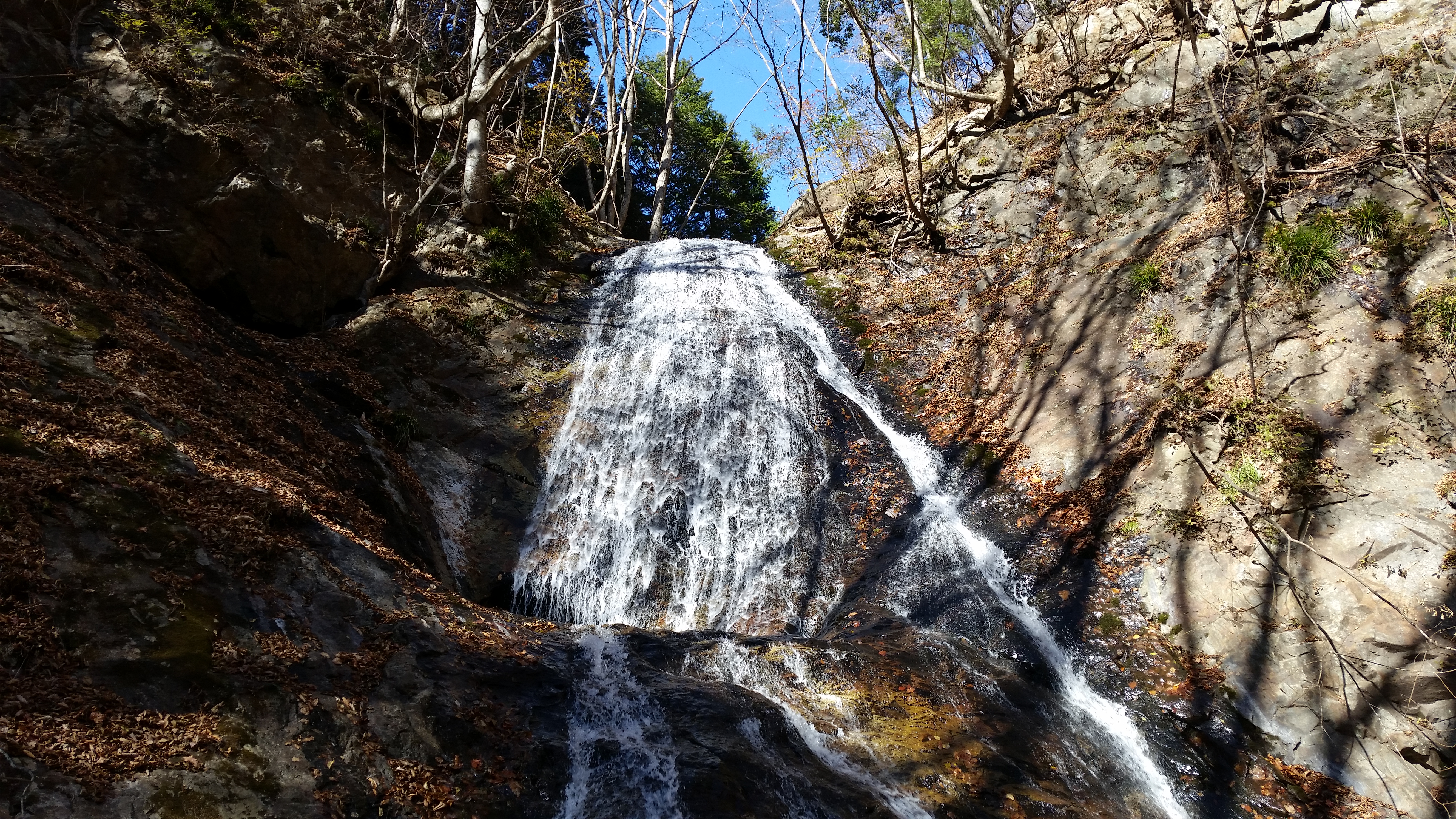
Start of the hiking trail for Mt Yokogai
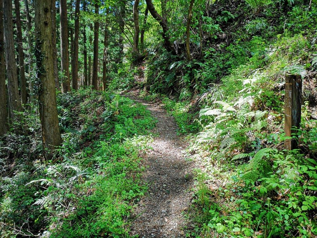
As the noon chime echoed across the valley, I crossed a bridge and turned left onto a road heading up. At 12h30 I was back on a hiking trail up another river valley through a cedar forest. This time, the river was dry; instead of the noise of water, I could hear the noise of the wind blowing through the treetops. It took only a few minutes to reach the ridgetop, where I took a short path off the main trail to a huge sacred rock called “Gongen Iwa” (権現岩 ごんげんいわ).
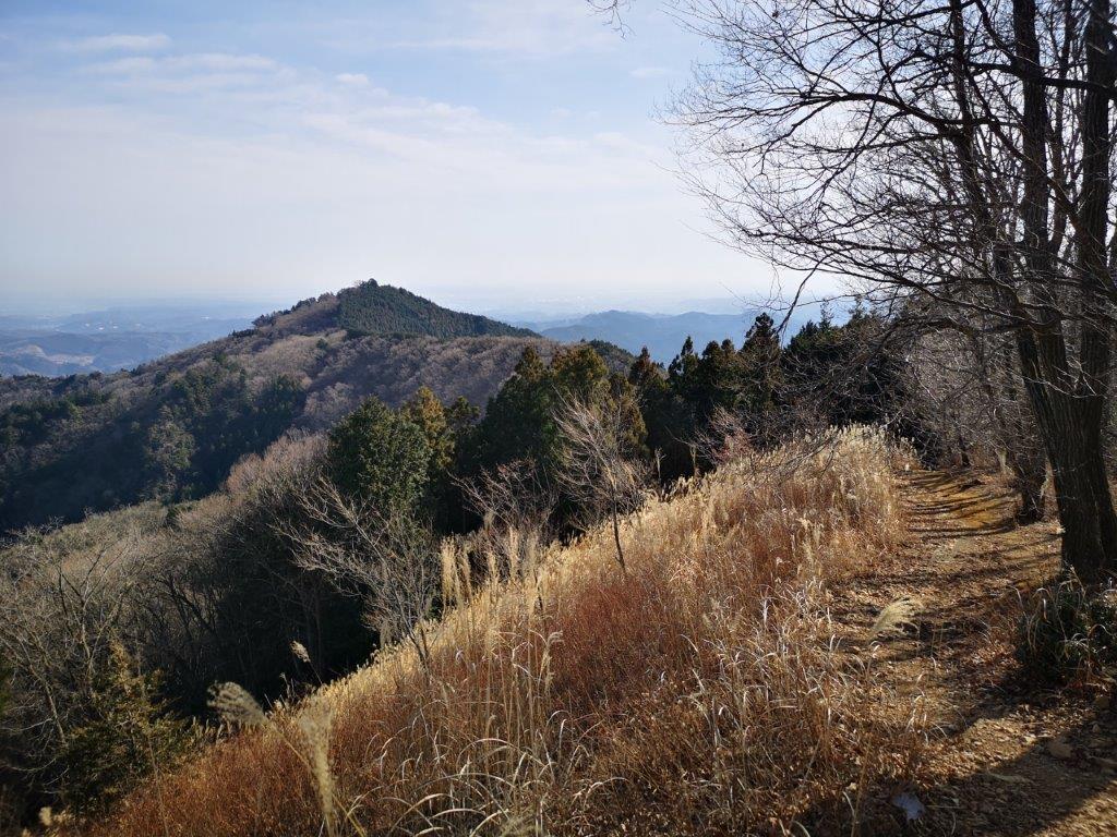
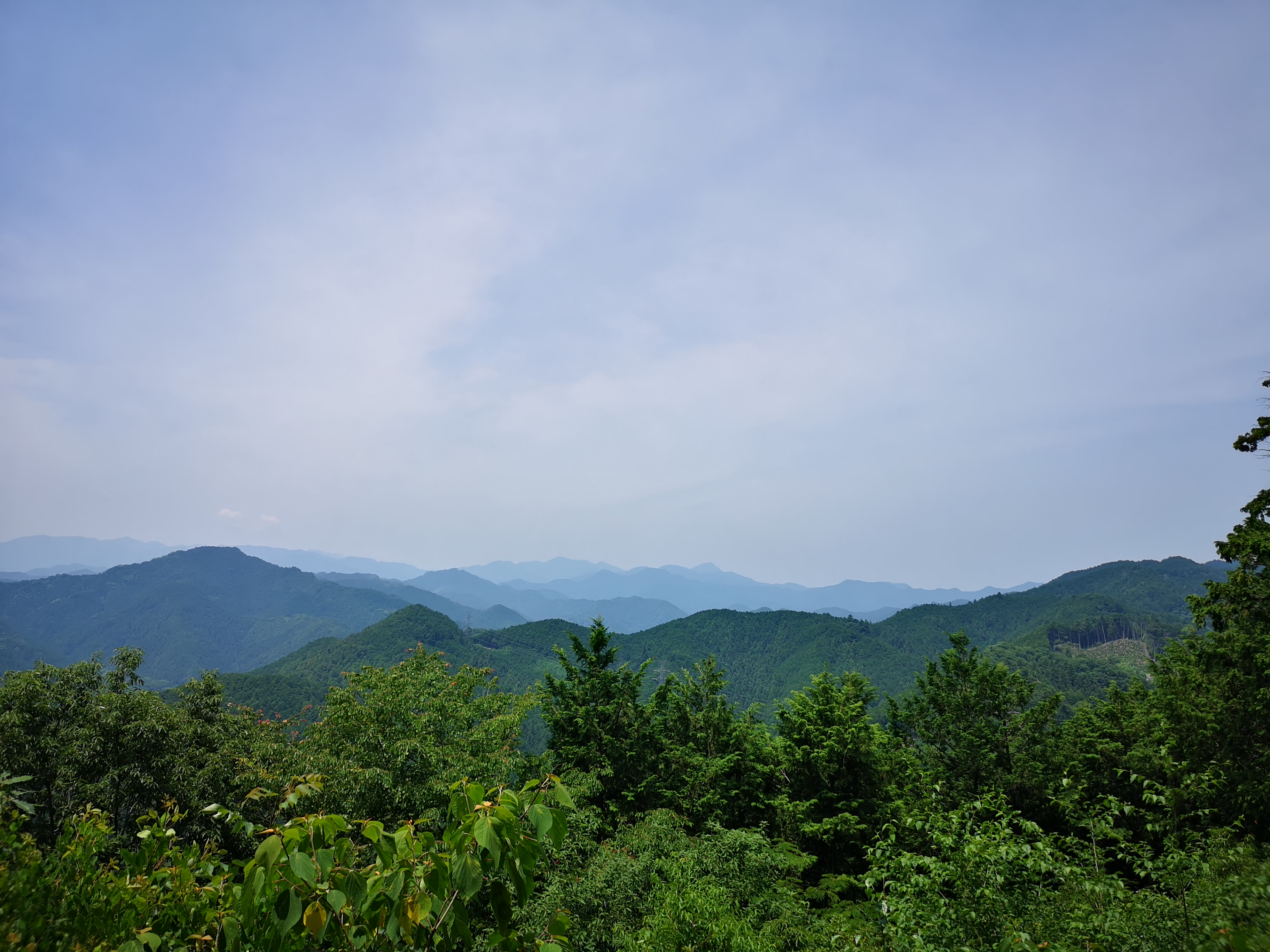
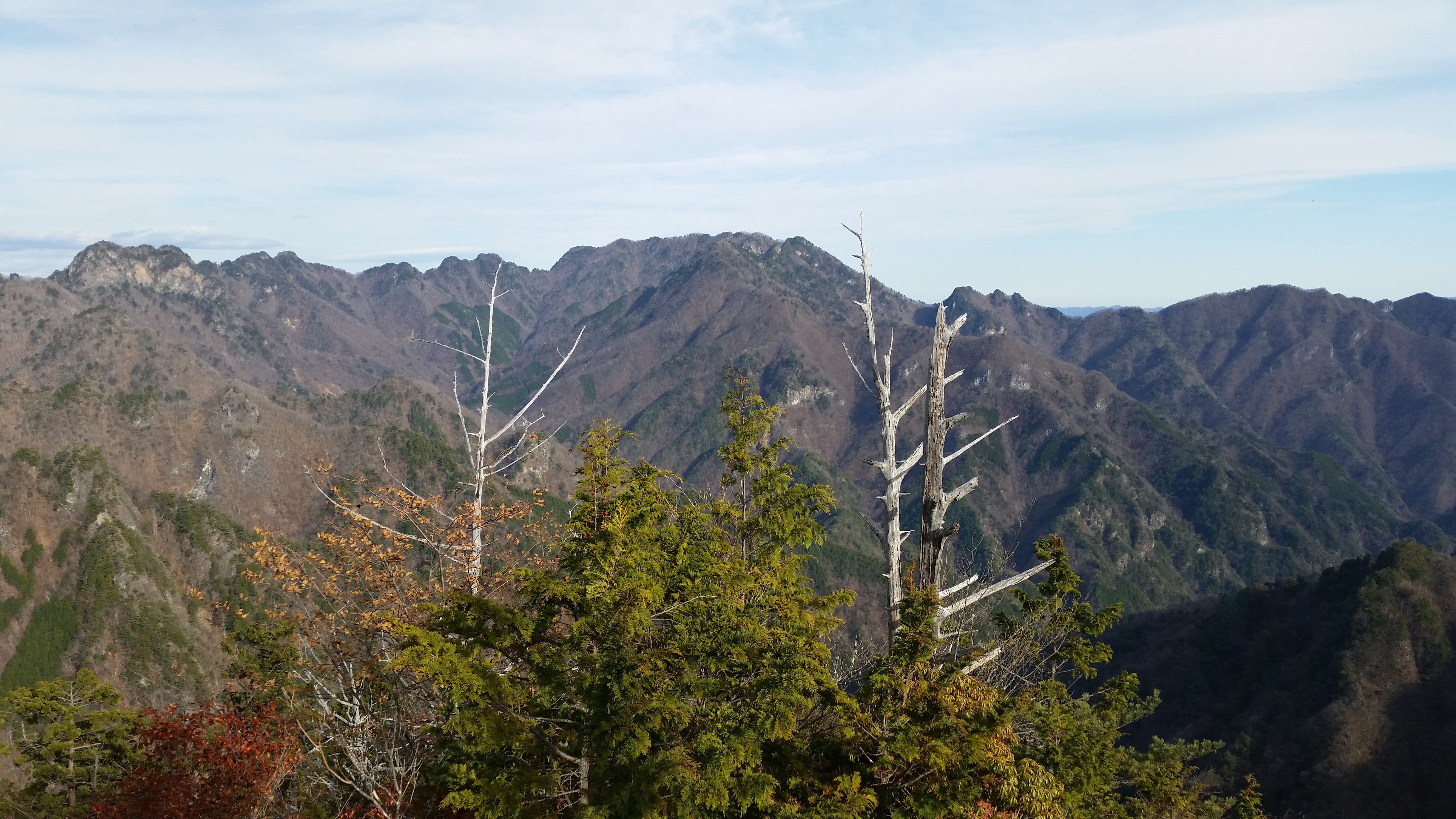
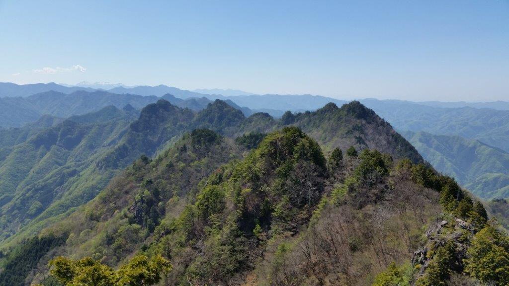
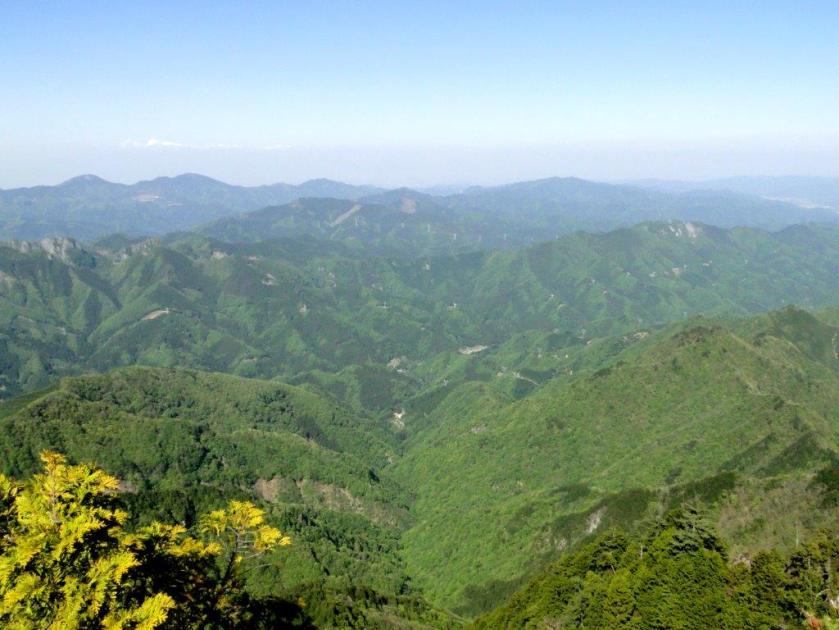
In the center, Mt Jomine

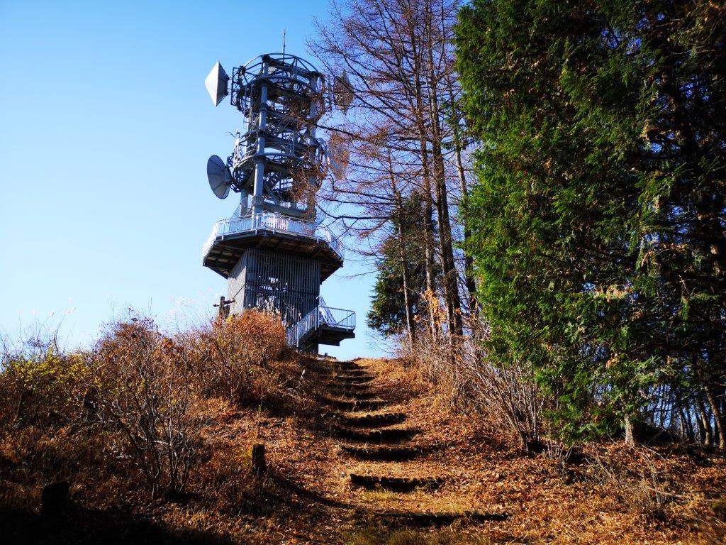
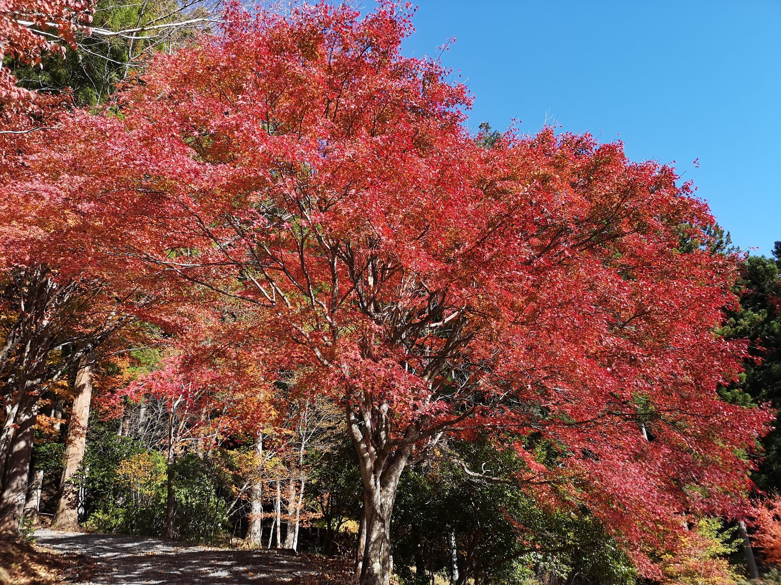
Sunny hiking near the top
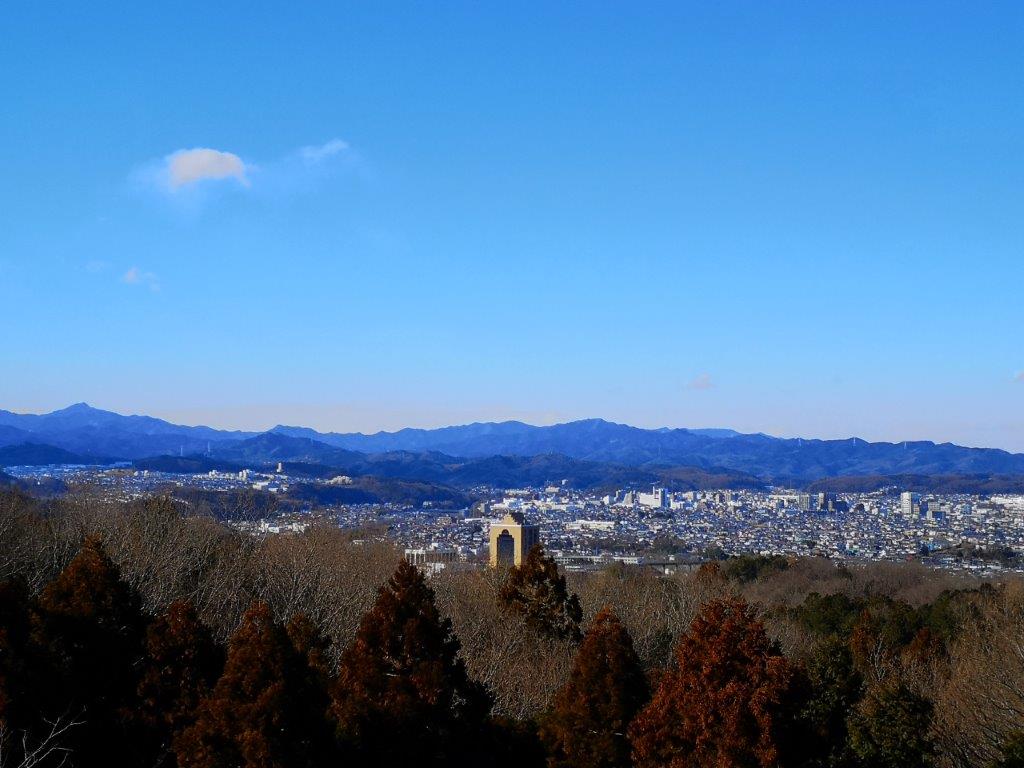
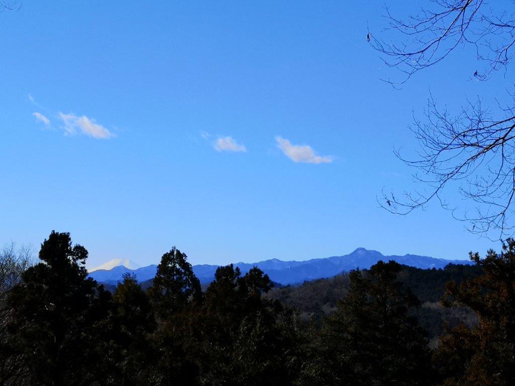
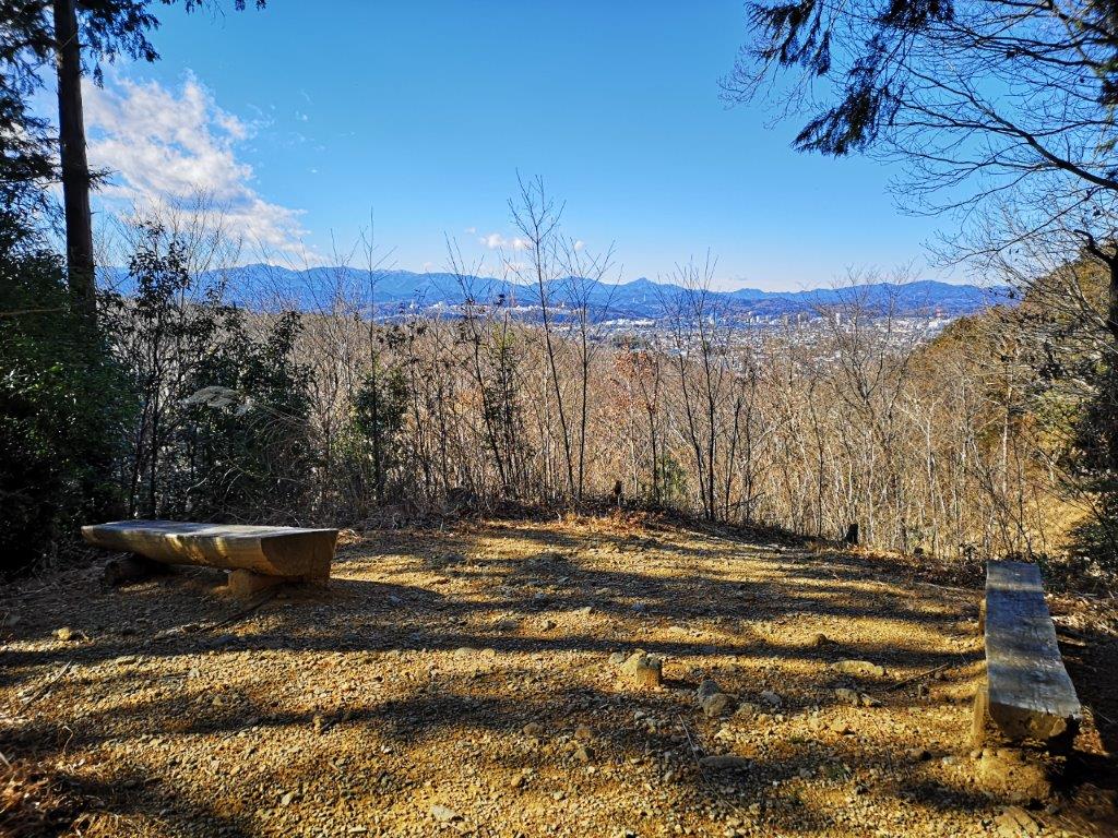
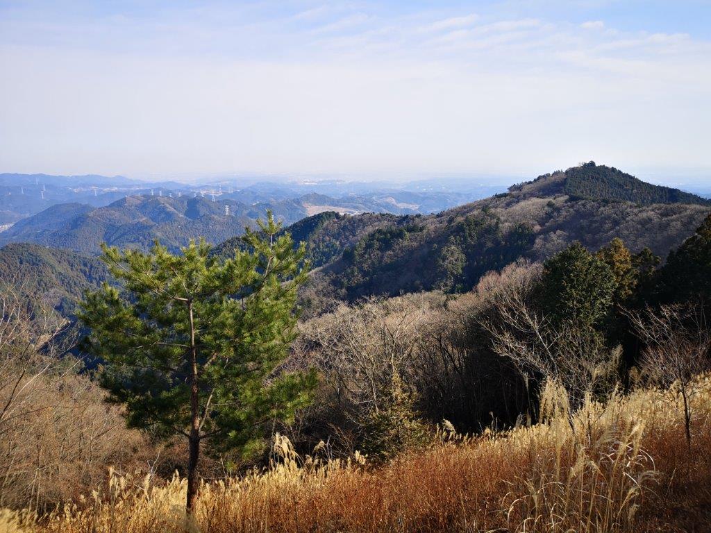
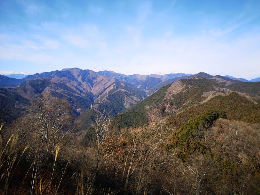
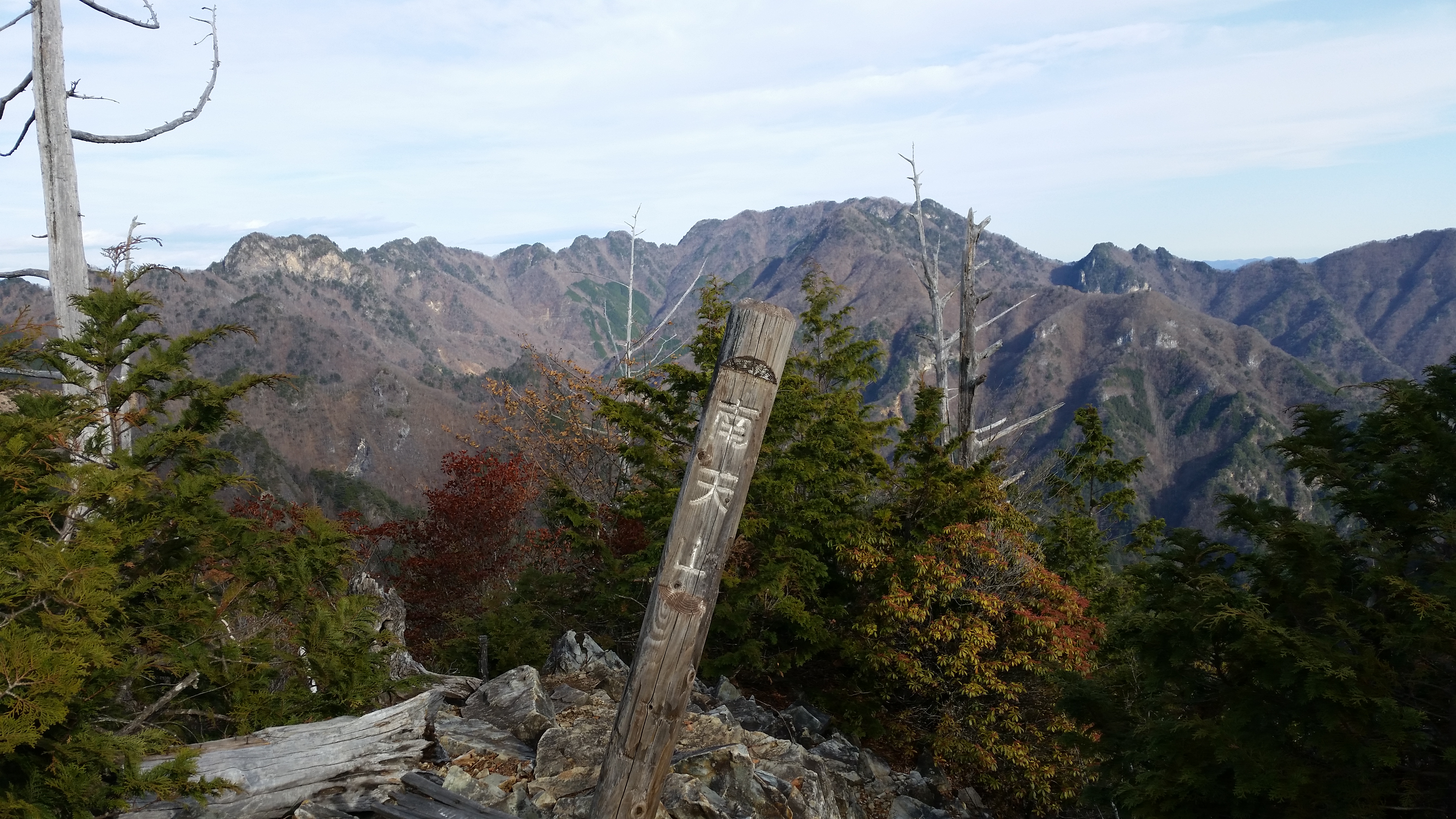
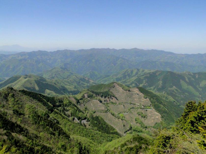
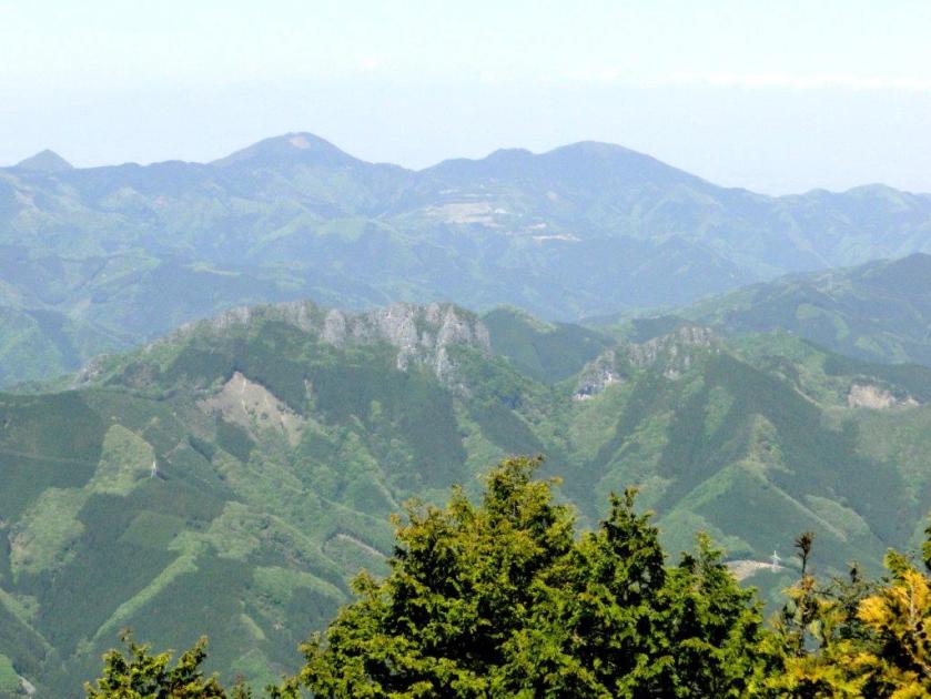
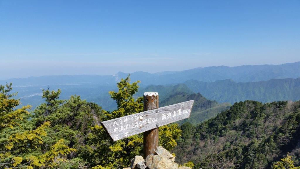
I found a sunny spot out of the wind to snack on a “manju“. I then made my way back to the main trail and followed the ridge northwards. I soon reached an area clear of trees with a view of Mt Jomine to the south. Next I arrived at another viewpoint to the west from where I could see Onishi town and Mt Sakura; but I wasn’t at the highest point yet, and a few more minutes brought me to the top of Mt Yokogai (横隈山 よこがいさん yokogai-san). Straight ahead, I could see Mt Akagi, Mt Haruna, and even the snow-capped peak of Mt Asama.
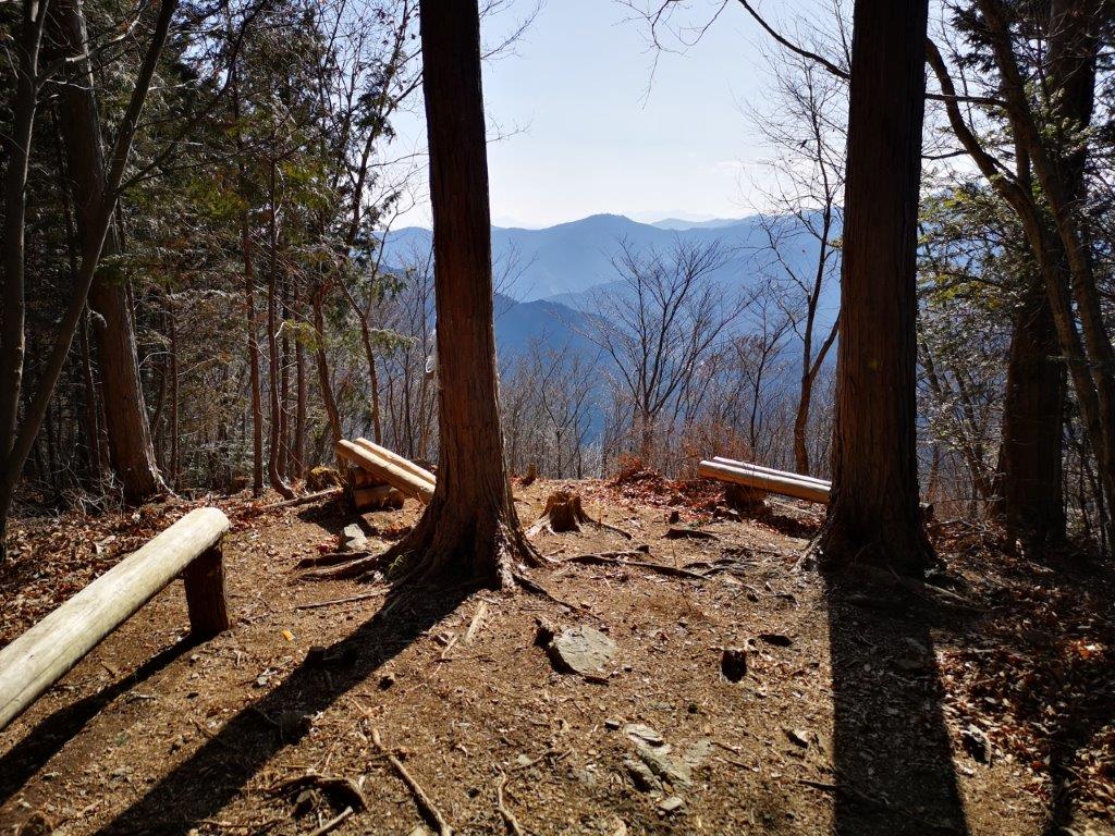
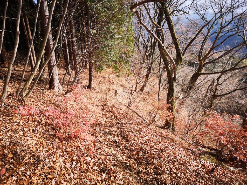
First viewpoint just south of the summit

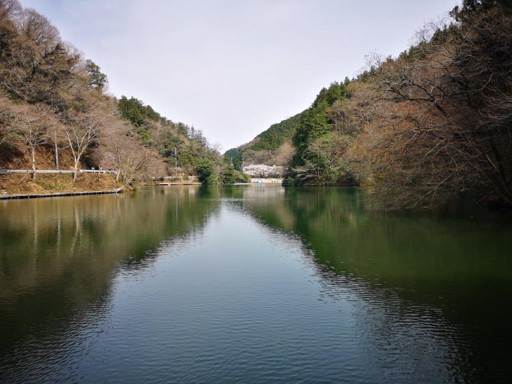
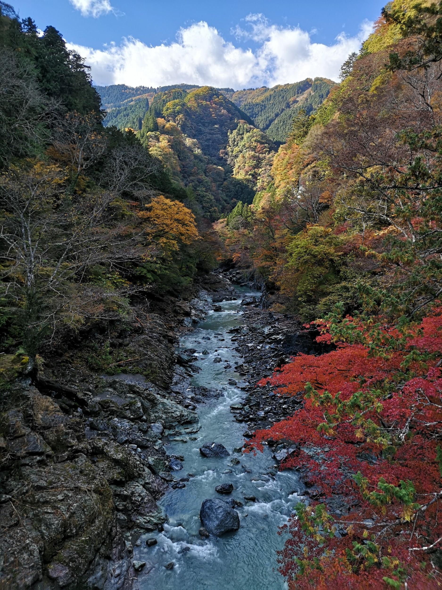
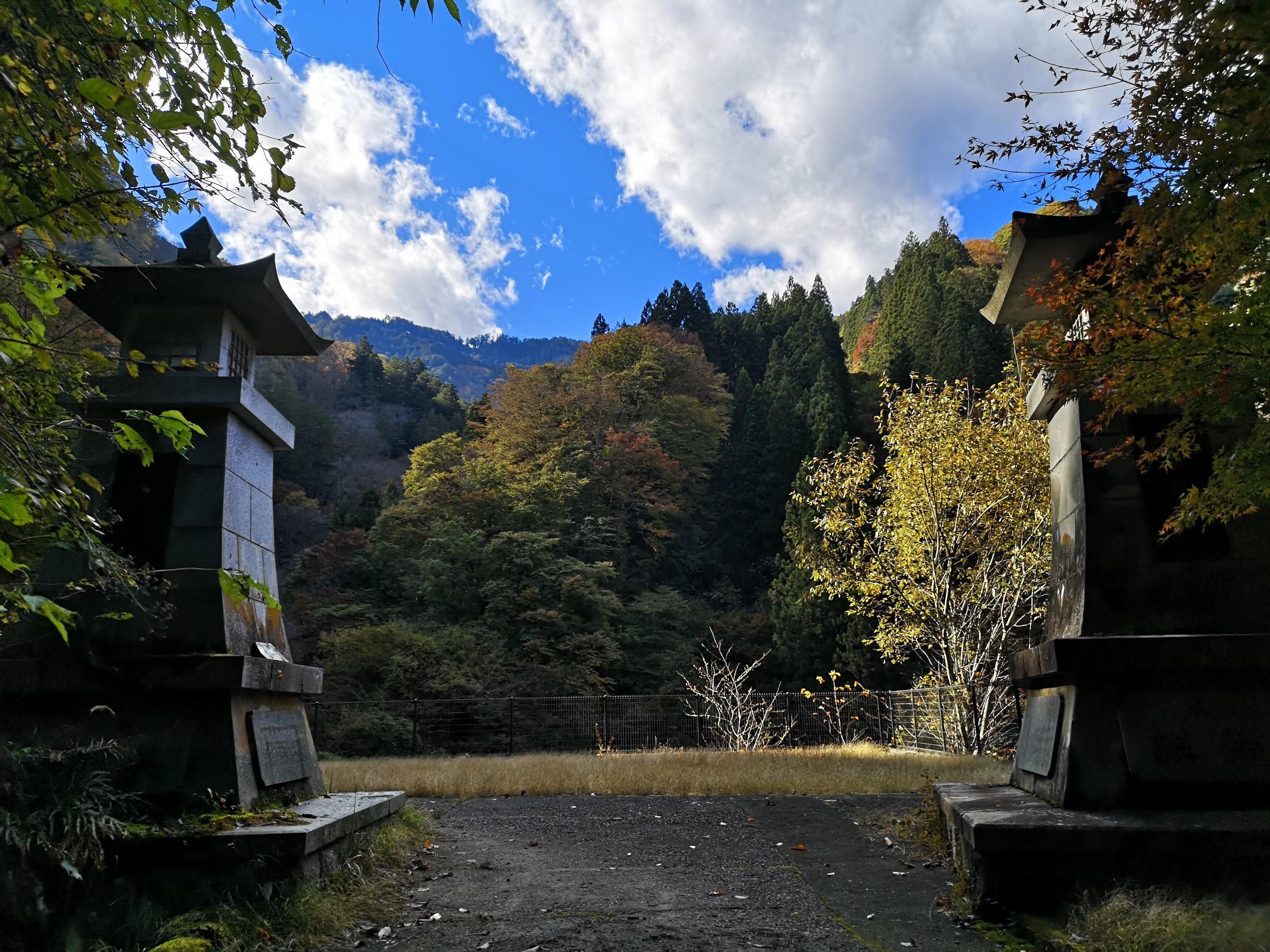
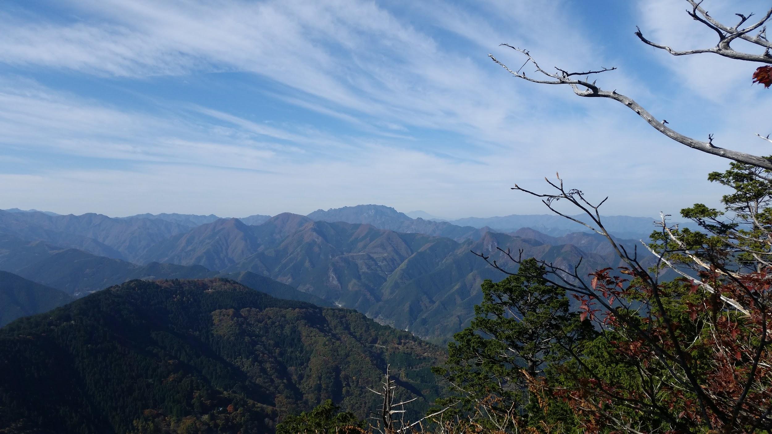
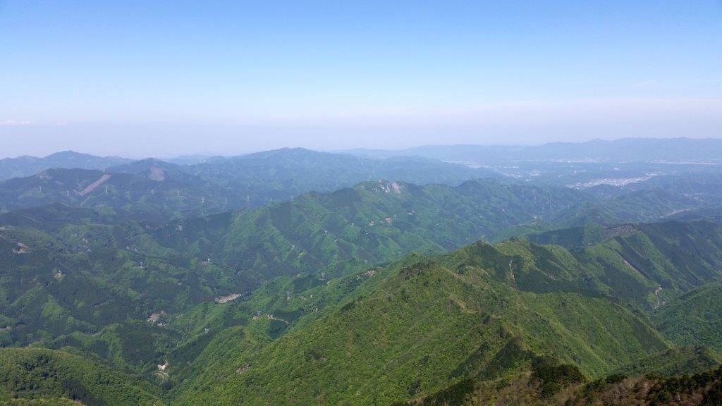
Lake Kanna between Saitama and Gunma
I enjoyed a quiet lunch before heading back the same way. It was only 2h30 and I was ahead of schedule. At the junction for Gongen Rock, I continued straight on an up and down path taking me past a view point of Kanna lake and ending at a paved road. From there, it was easy walk down to the bus stop at the bottom of the valley. I had an hour before the 4h30 bus so I went and bought some more “manju“. At Minano station, I caught the Chichibu line for Kumagaya and then transferred to the Shonan-Shinjuku line for the one hour trip back to Tokyo.
See the sights and hear the sounds of Mt Yokogai


![Mt Jomine (1038), Chichibu City, Saitama Prefecture, December 2020 [South Ridge Route / Map Available]](https://hikingtokyo.com/wp-content/uploads/2021/01/img_20201205_132713.jpg?w=1024)


![Mt Hashimoto (321m) & Yugate (290m), Hanno City, Saitama Prefecture [updated April 2022]](https://hikingtokyo.com/wp-content/uploads/2020/06/img_20200609_114512.jpg?w=1200)


![Mt Ryokami (1723m), Ogano Town, Saitama Prefecture, Tuesday, May 5 2015 [Hatcho Ridge Route / Map Available]](https://hikingtokyo.com/wp-content/uploads/2015/05/dsc09731b.jpg?w=1200)


You must be logged in to post a comment.