
Hiking in the Chichibu Mountains 秩父山地
Less than 100km away from the capital as the bird flies and smack in the middle of the Oku-Chichibu mountains of Saitama prefecture, lies Mt Nanten 南天山 1483m. Despite its relative closeness, accessing the start of the trail requires patience and a desire to explore new places.
Last Saturday, I rose at 6h30, got a seat on the Seibu line Red arrow limited express leaving around 7h30 from Ikebukuro station, hurried to catch the transfer to the Chichibu railway in the Seibu-chichibu station and got off at the last station, Mitsumineguchi at about 9h15.
Unfortunately the bus connection wasn’t ideal and I had to potter around for 45 minutes for the bus for Nakatsugawa 中津川, also the last stop and one hour away, making my arrival time a little past 11am. However I wasn’t there yet. I still needed to walk 30 minutes along a road which eventually turned into a dirt road, till I finally got to the entrance of the mountain trail, leading up a small river valley cleaved into the side of the mountain.
After removing my inner layer, fixing my bear bell onto my bag and having a quick bite, I was officially ready to start up the mountain, a little before noon or nearly six hours after getting up. Fortunately, unlike my previous trip the week to Okutama the week before, the further I progressed the less people there were – just one other passenger on the bus who got off before the end. This was probably because the autumn leaves season was already over.
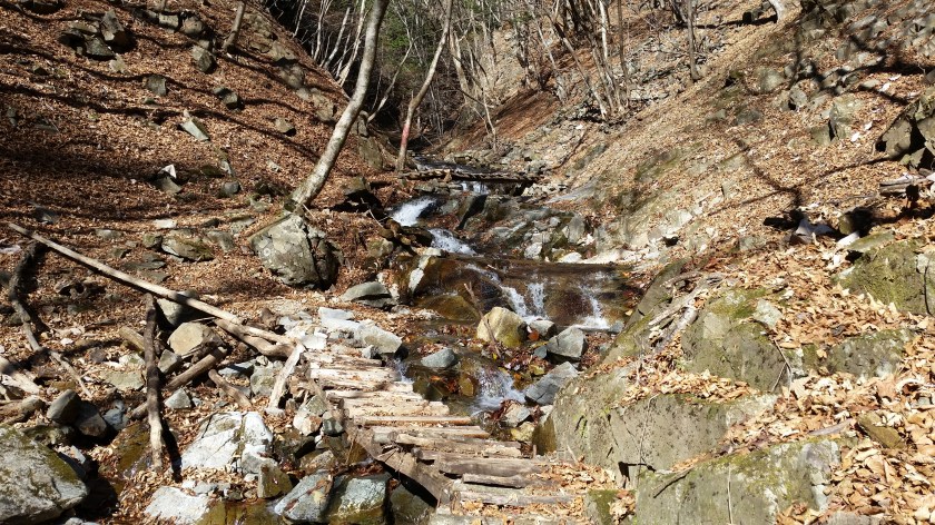
The valley I walked up following a small stream was one of the most beautiful I’ve ever seen. I could only imagine what it must look like in the spring or the autumn. There was a fair amount of stream crossing along fairly new wooden bridges and the path goes up and down the side of the valley, making for a good warmup. Halfway up the valley, I came upon the spectacular Hojirushi waterfall 法印の滝. Even if you don’t climb to the top, it is well worth walking 20 minutes to check it out.

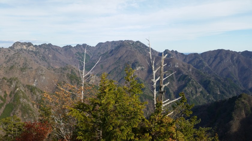
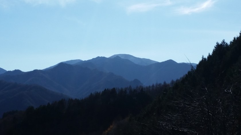
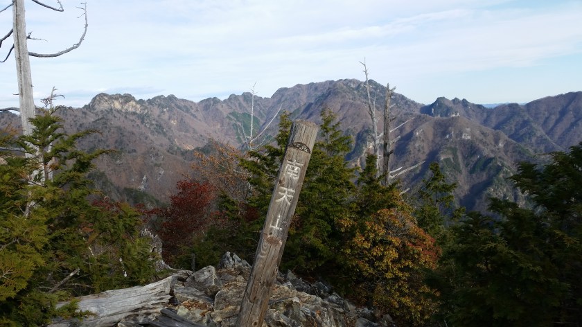
Twenty minutes further upstream, a zigzagging easy to walk path on the left takes you up to the top ridge where you progressively make your way to the highest point. The last part gets rather rocky and feels rather wild – hard to believe that you are in Saitama, especially when you reach the top and see nothing but mountains in all directions. Directly opposite one could see the massive bulk of Mt Ryokami and in the background Mt Asama already covered in snow,
I headed down a little after 2pm down another zig-zagging path and then joined up with the previous stream valley and legged it back to the road. I was able to take a quick bath before getting on the return bus a little after 4pm. This bus, the last one of the day, took me directly to Seibu Chichibu station in about 90 minutes where after a thirty minute wait, I got the next Red arrow limited express back to Ikebukuro, arriving at 8pm, taking me only a little less time than on the way there.
Enjoy the contrast between the rushing water and the silent summit
