

For my next trip using the JR East Welcome Rail Pass 2020 I decided to head back to Tohoku, but not so far north this time, since I wanted to have a snow-free hike. It seemed that it had snowed on this mountain earlier in the month, but it had mostly melted by now. I packed my light crampons just in case. The weather forecast was sunny, but very windy, not suitable conditions for hiking according to the mountain weather website I use. I decided to risk it anyway. Another concern was getting there. After a 90-minute shinkansen ride to Sendai city, 300km from Tokyo, I would have to navigate the Sendai subway to get to the bus stop – I hadn’t even known that Sendai city had a subway! Hopefully, it would be less complicated that the Tokyo one. Finally, since it was apparently a popular hiking destination, a kind of Mt Takao for Miyagi prefecture (it even has a chairlift), there were many trails up the mountain, so I had to figure out the best route to take. In the end, I choose the Suijin trail up (水神コース) and a combination of the Kakko and Kamoshika trails down, since they seemed to have the best views.
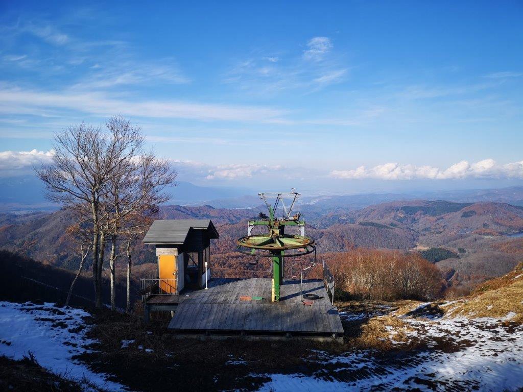
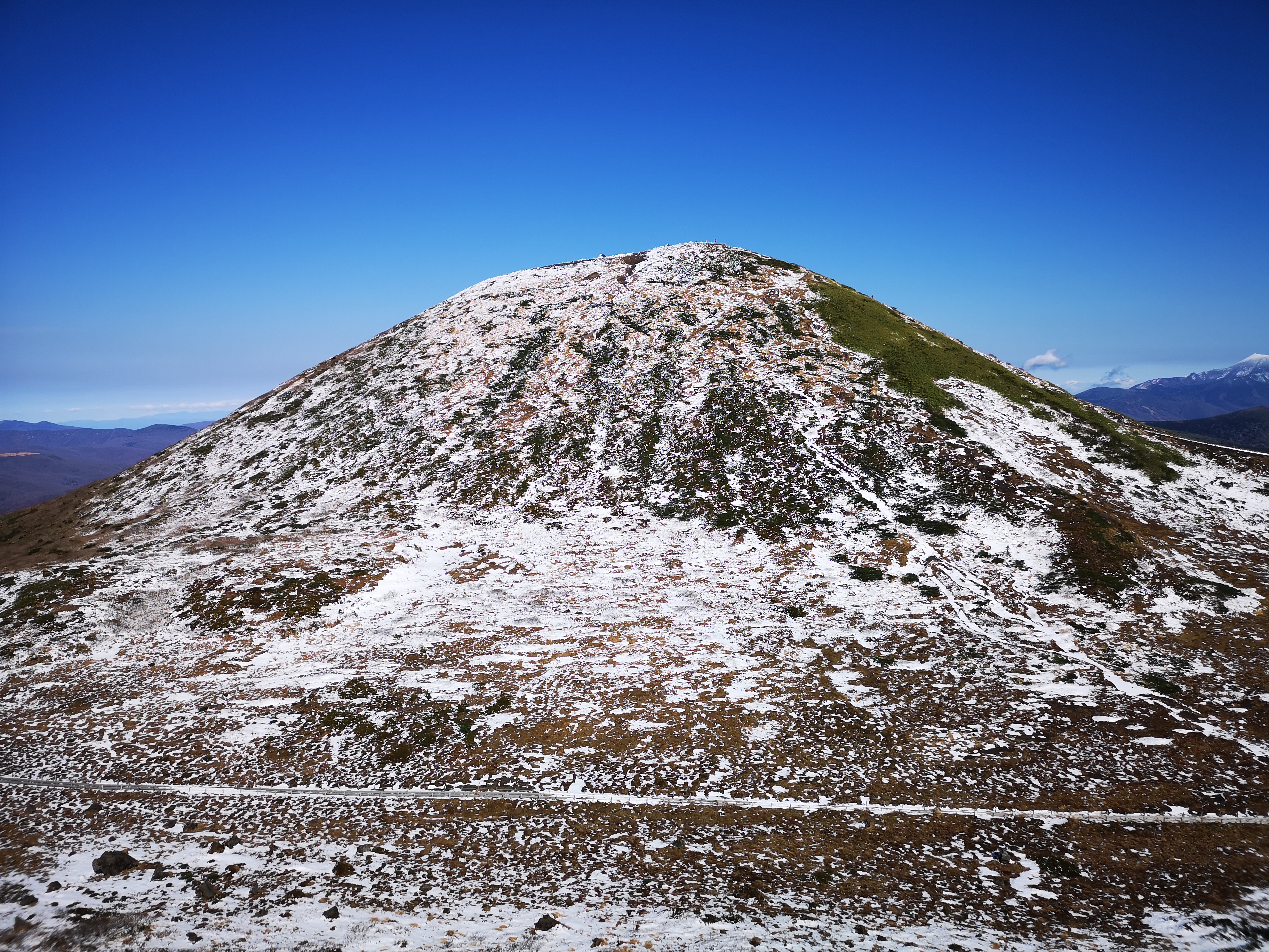
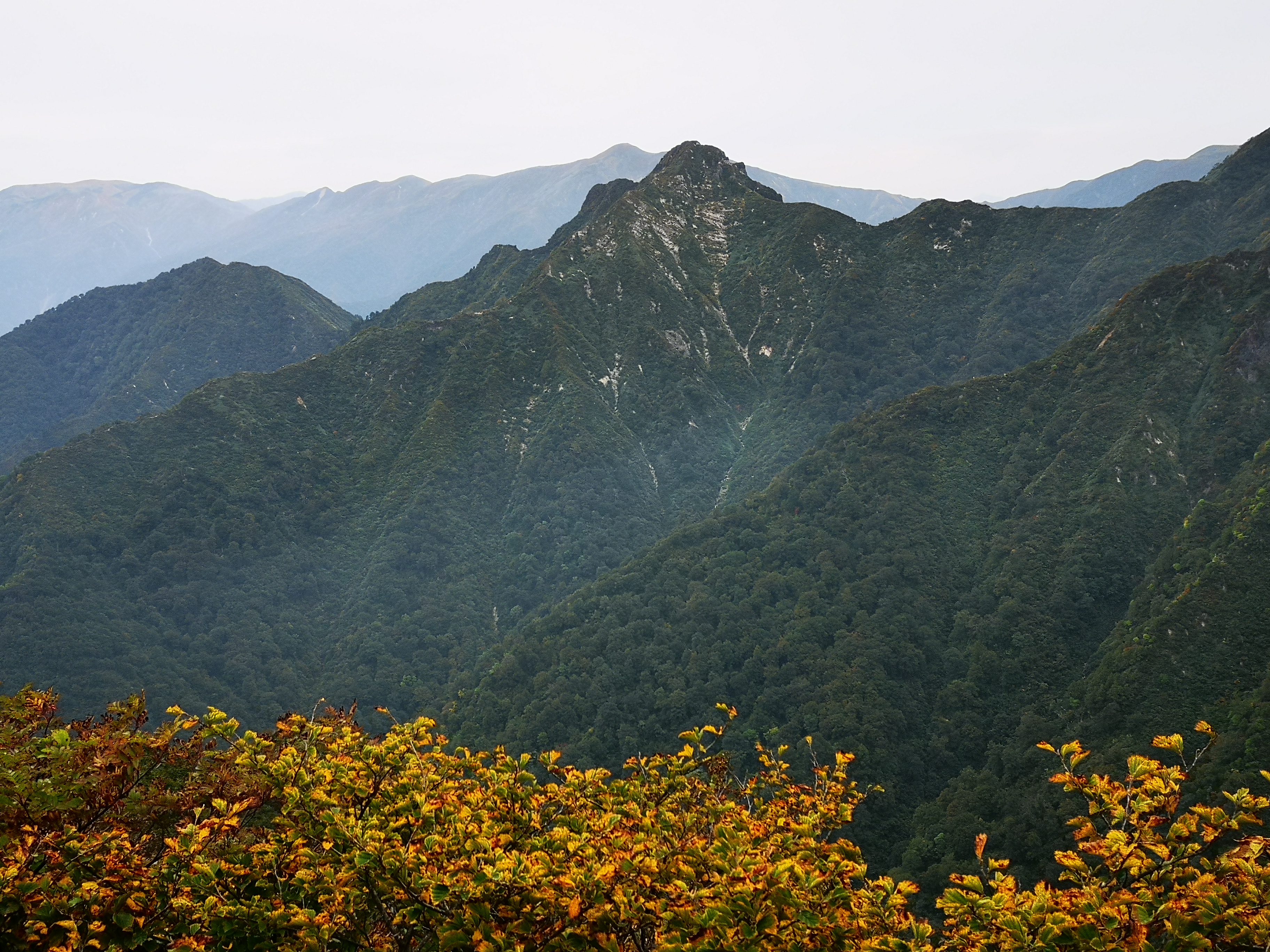
The summit of Mt Izumi from Okanuma
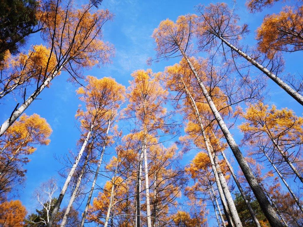
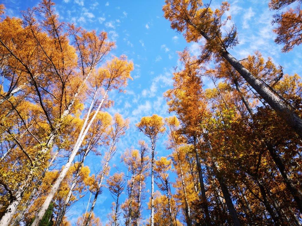
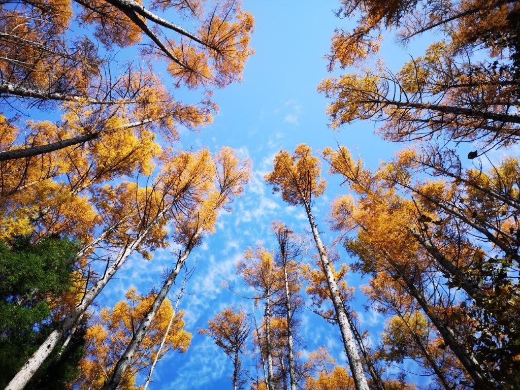
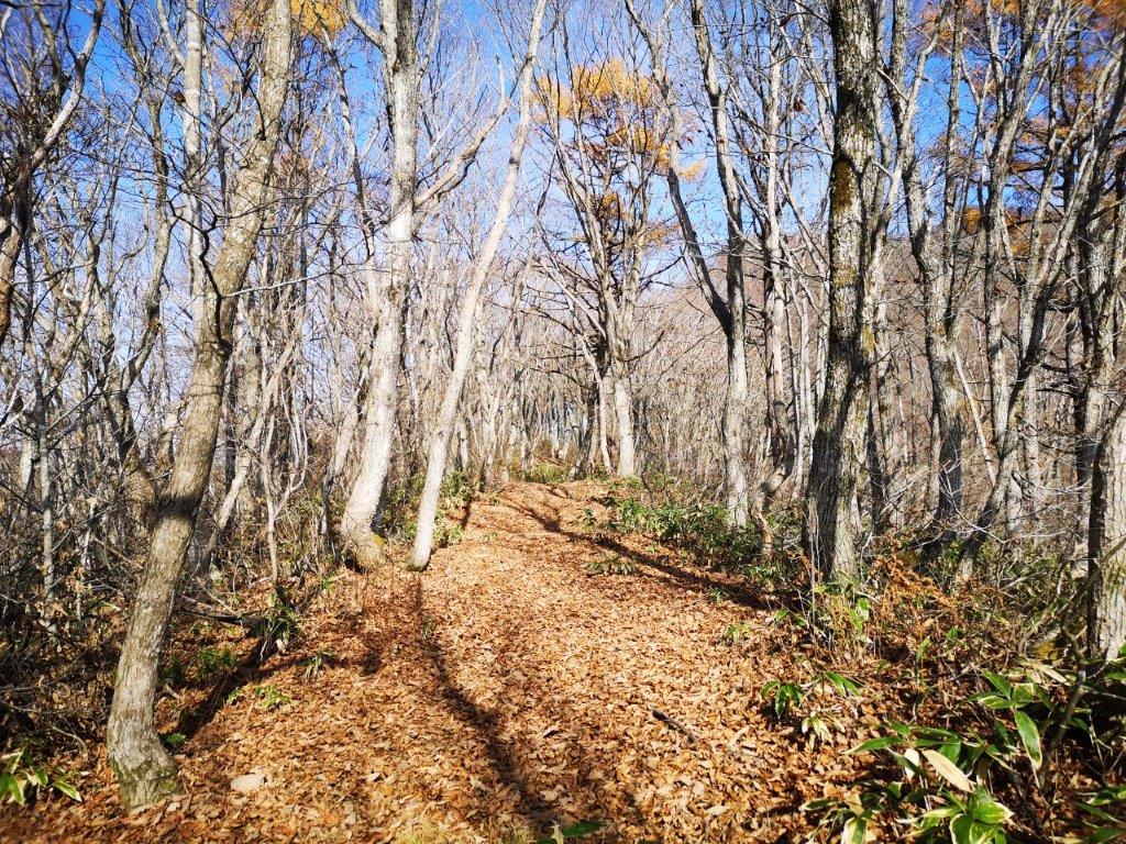
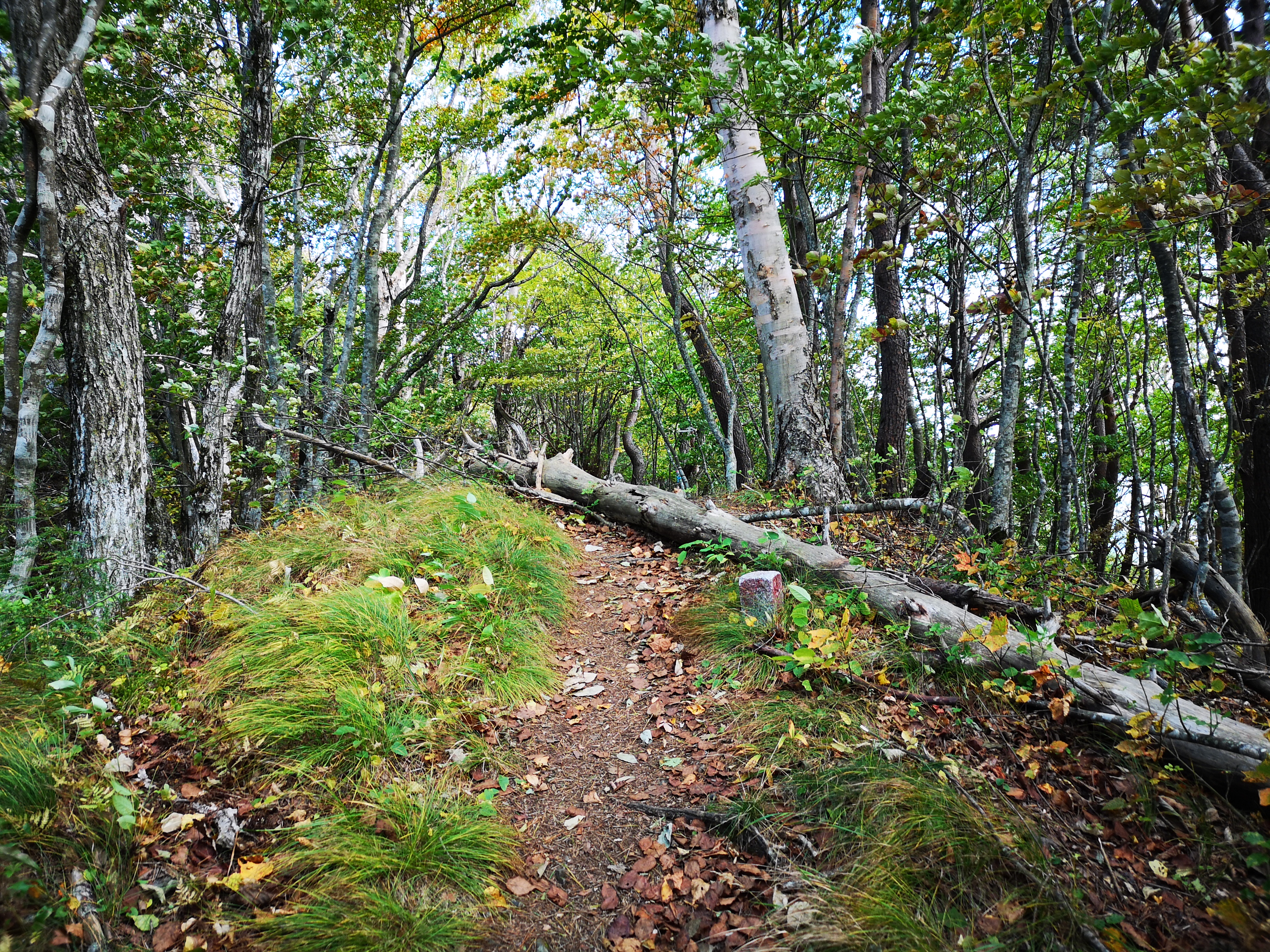
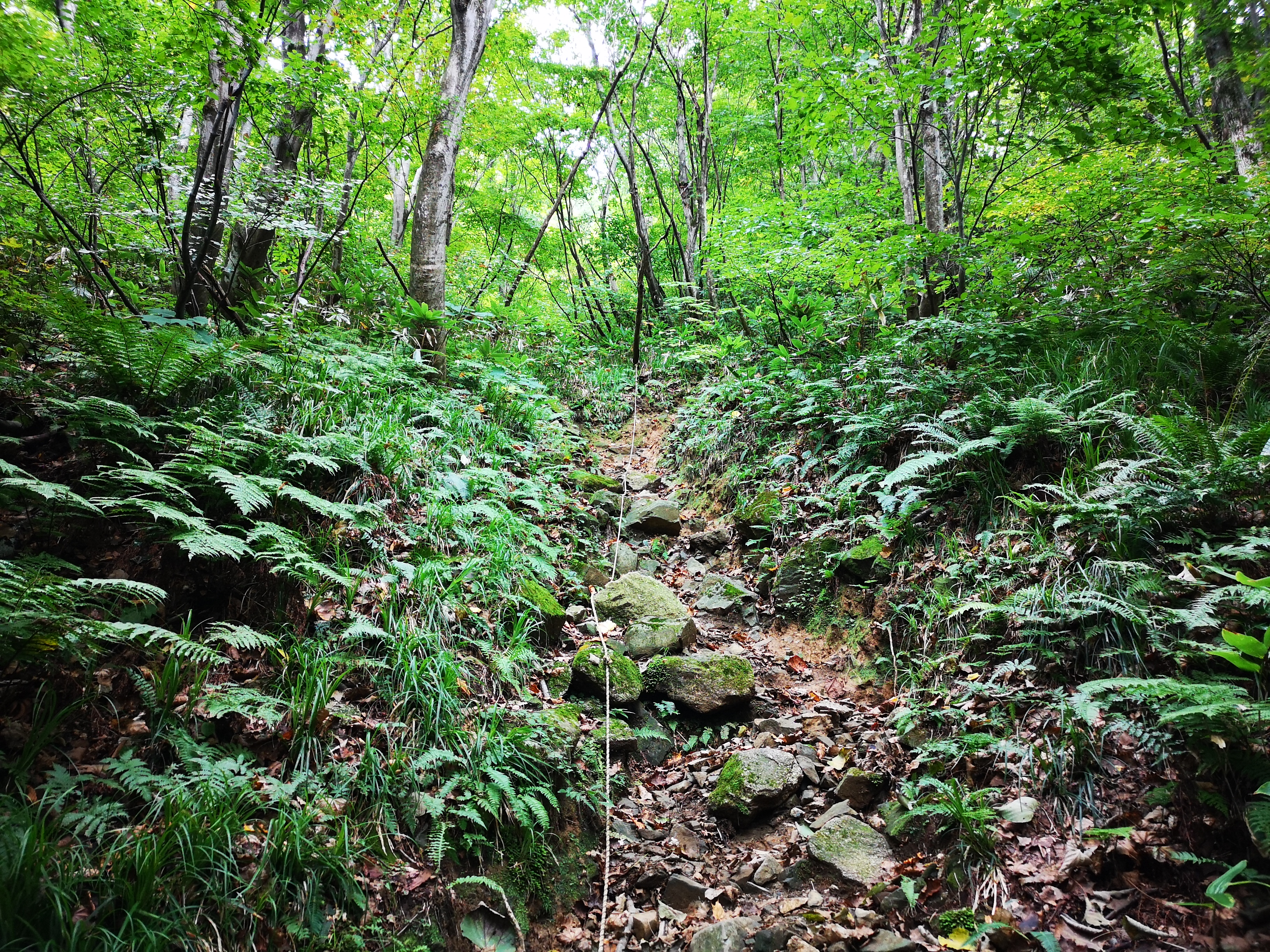
Navigating the Sendai subway turned out to be fairly easy. A kind Sendaian(?) pointed me to the correct platform for the bus. I was first in line but the bus turned out to be surprisingly empty. I arrived at the the huge parking lot at the base of the mountain around 11h30. There were quite a few other hikers on the trail, enjoying the fine weather, and trying to catch the last of the autumn colours. Fortunately, the Suijin trail was wide and rocky. I walked quickly as the path climbed gradually through a forest of leafless trees. There were no views; however, the contrast of pale tree trunks against the blue sky was stunning.

Going up the Suijin trail

Contrast of bare trees and blue sky
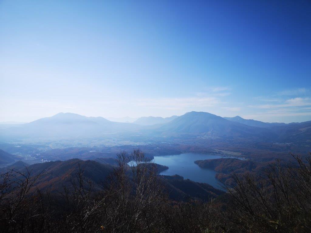
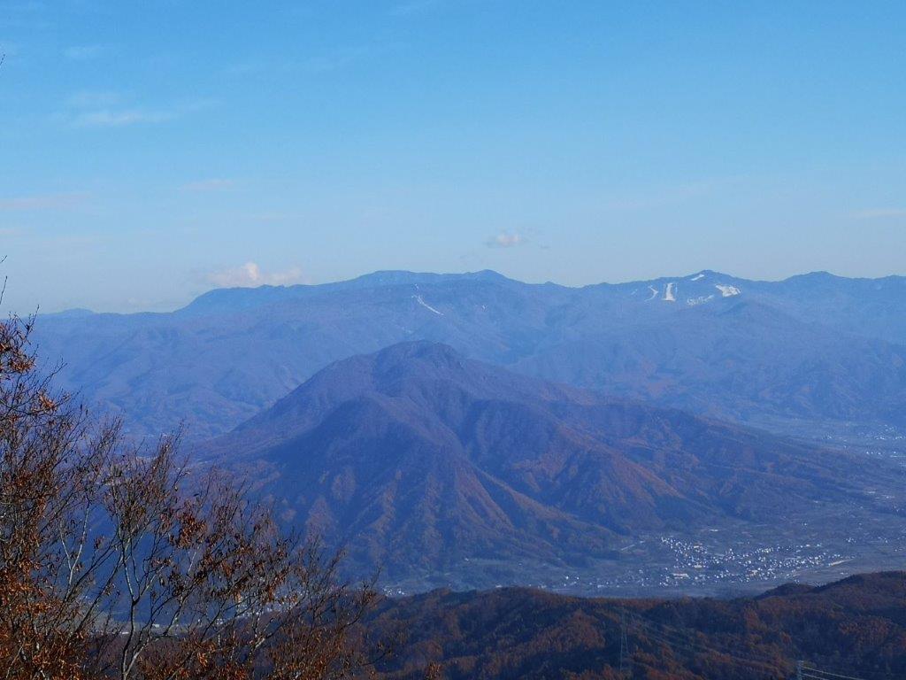
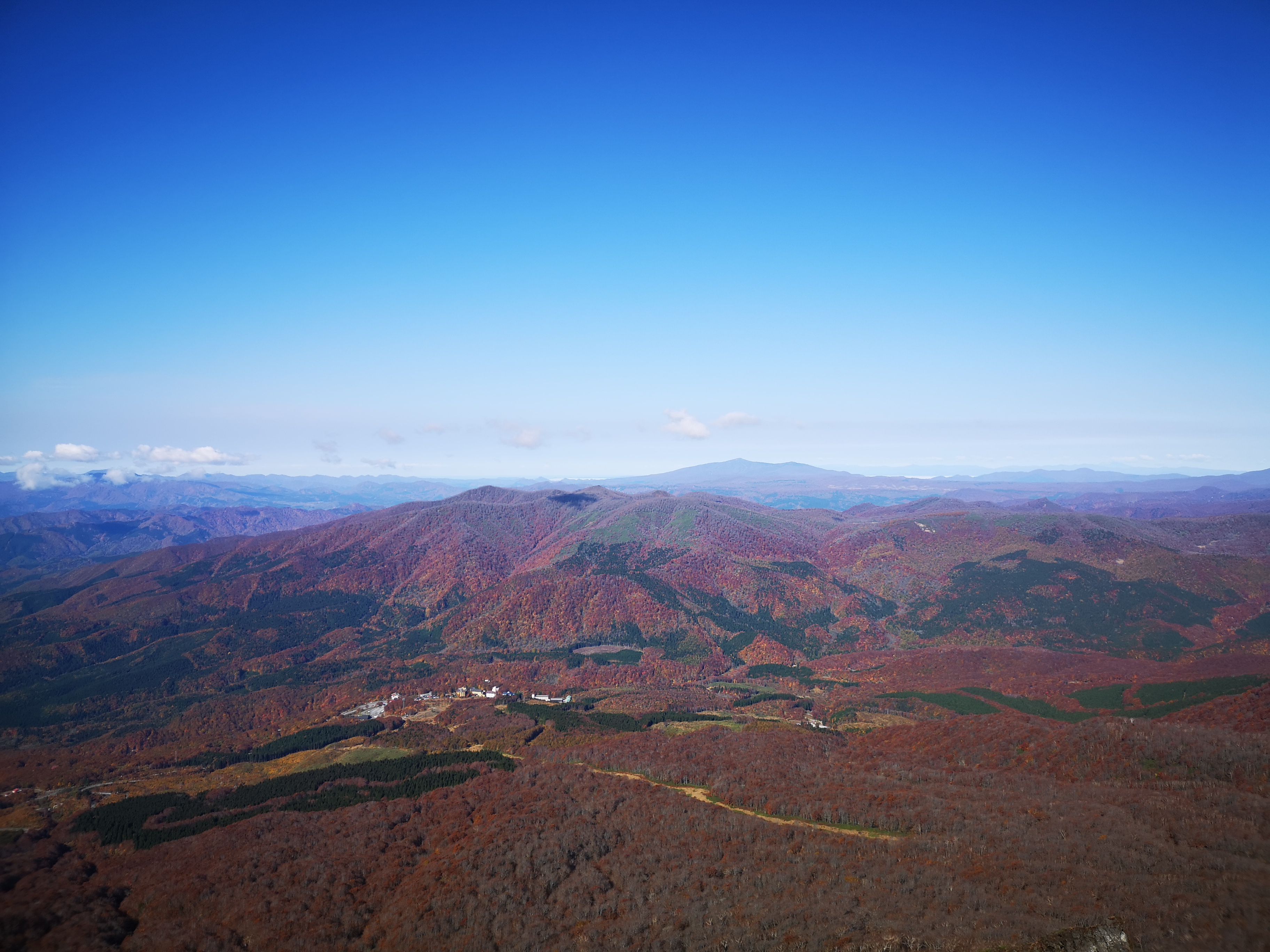
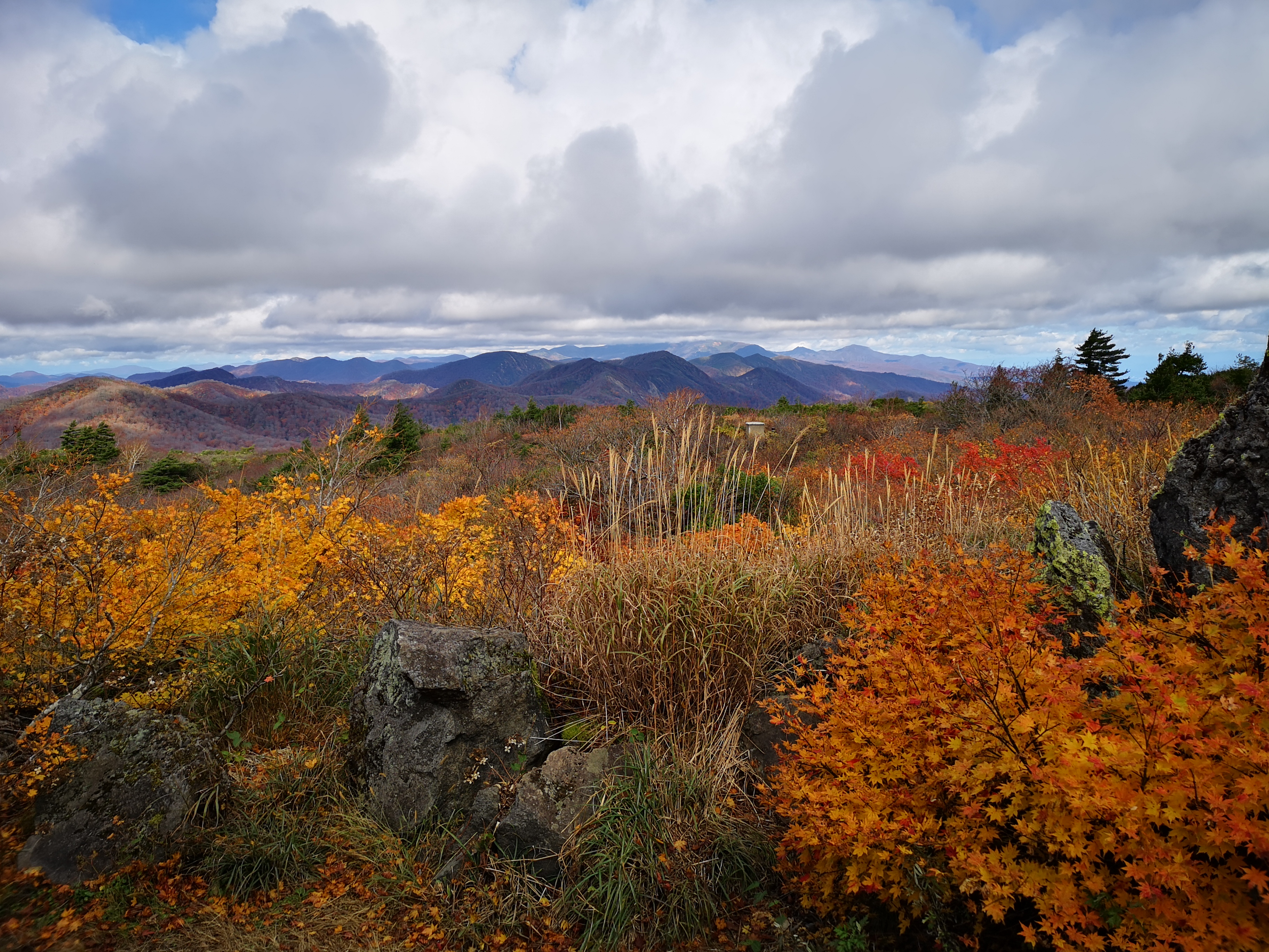
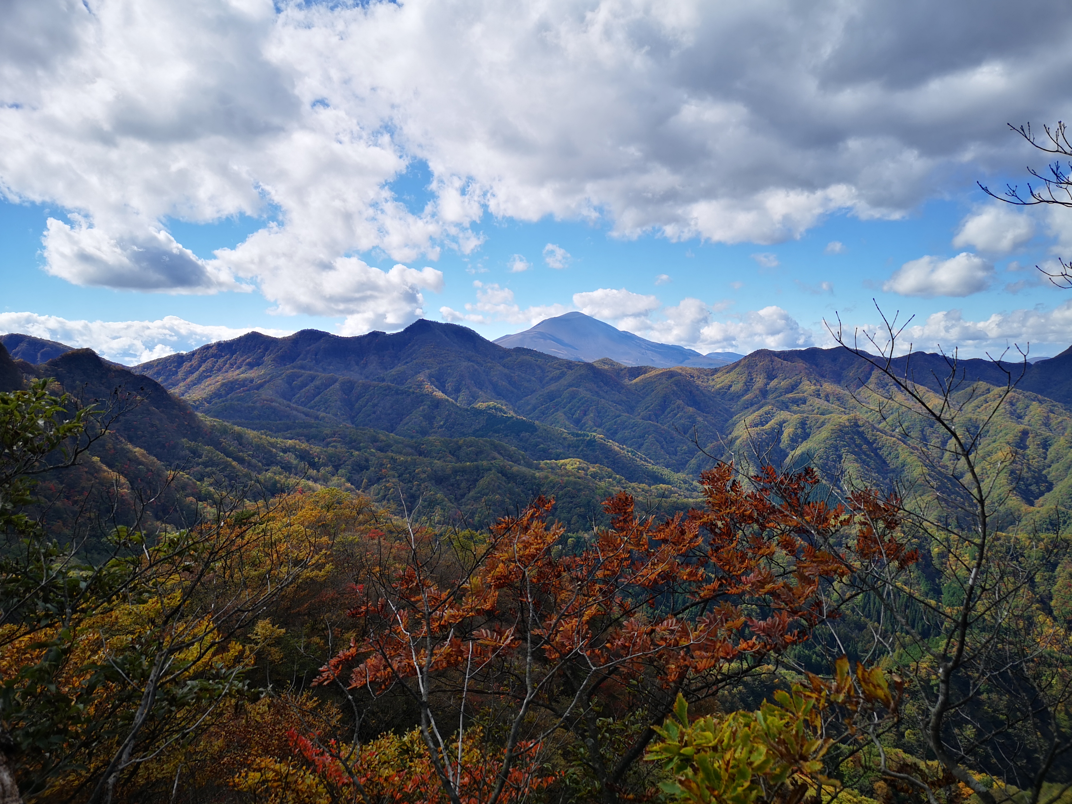
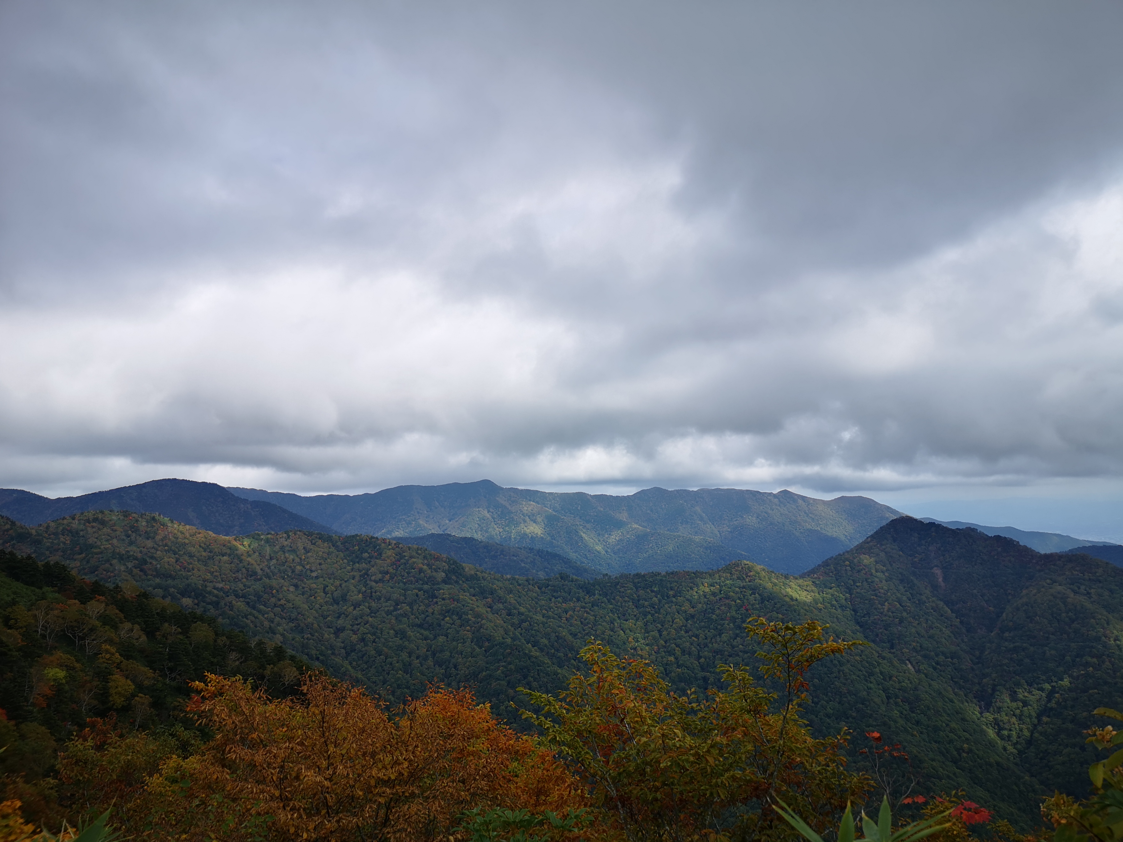
At 1pm, I reached an open space and the first views, as well as strong gusts of wind! After putting on an extra layer, I was able to enjoy the view; to the east was the flat coastal plain with Sendai city in the center; to the West I could see Mt Funagata with patches of snow on the top; stretching southwards was the mountainous area on the border of Miyagi and Yamagata prefectures. Visibility was excellent today. I was able to make out the Ide and Asahi mountain ranges, as well as Mt Zao. It took me just a few more minutes to reach the highest point of Mt Izumi (泉ヶ岳 いずみがだけ izumigadake), a 300-famous mountain of Japan.

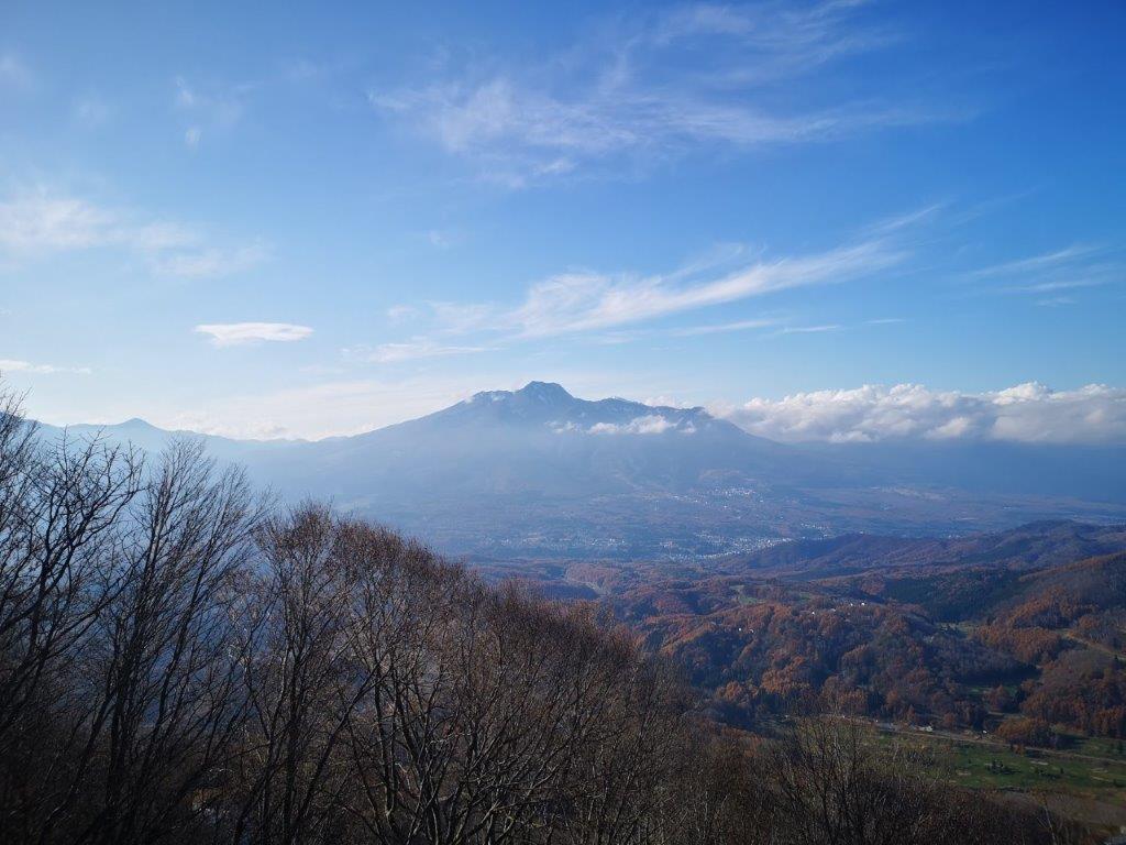
On the right, Mt Funagata
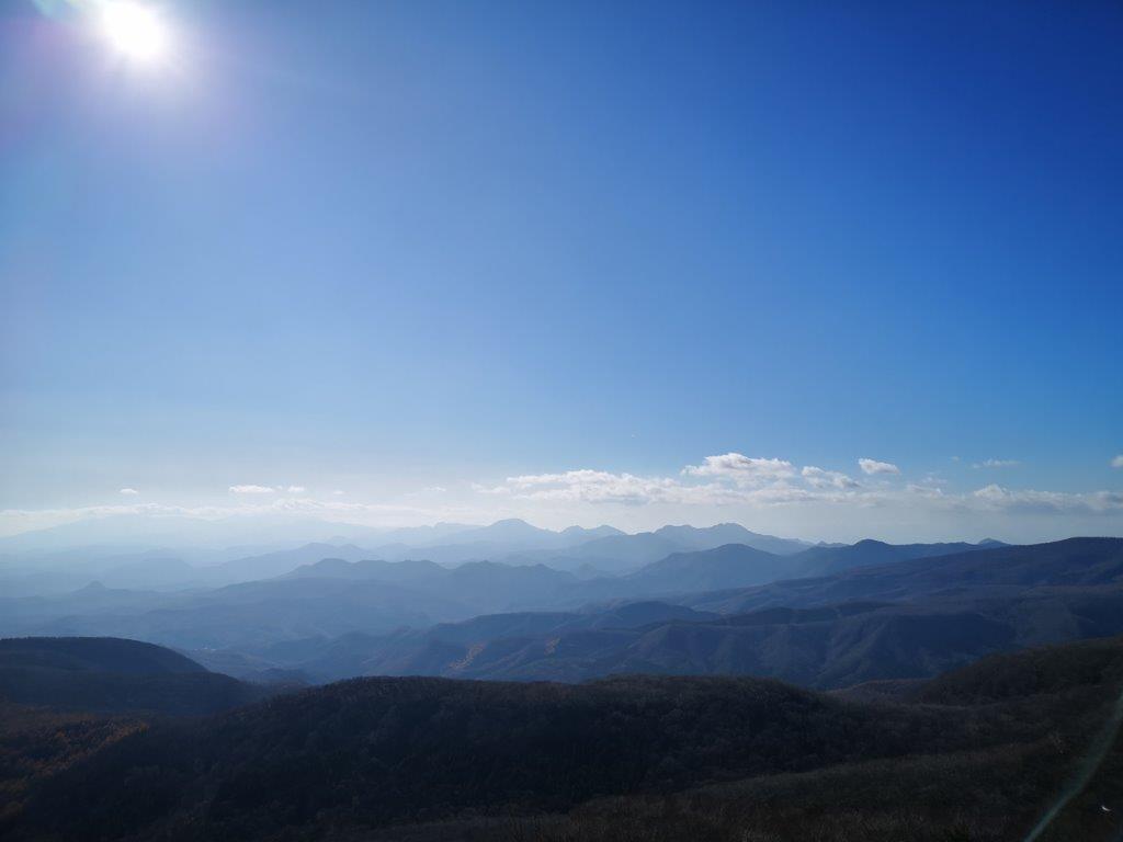
The view towards Mt Zao
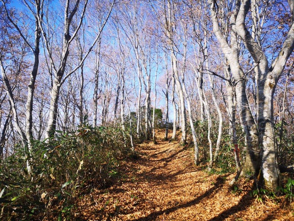
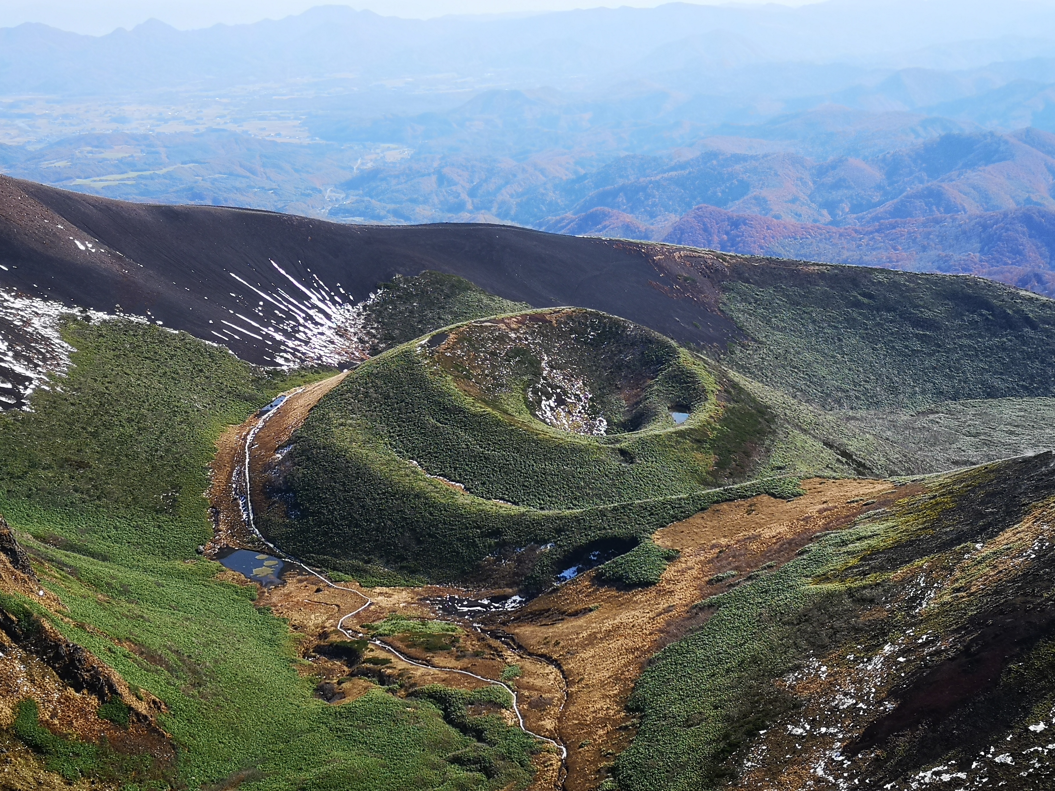
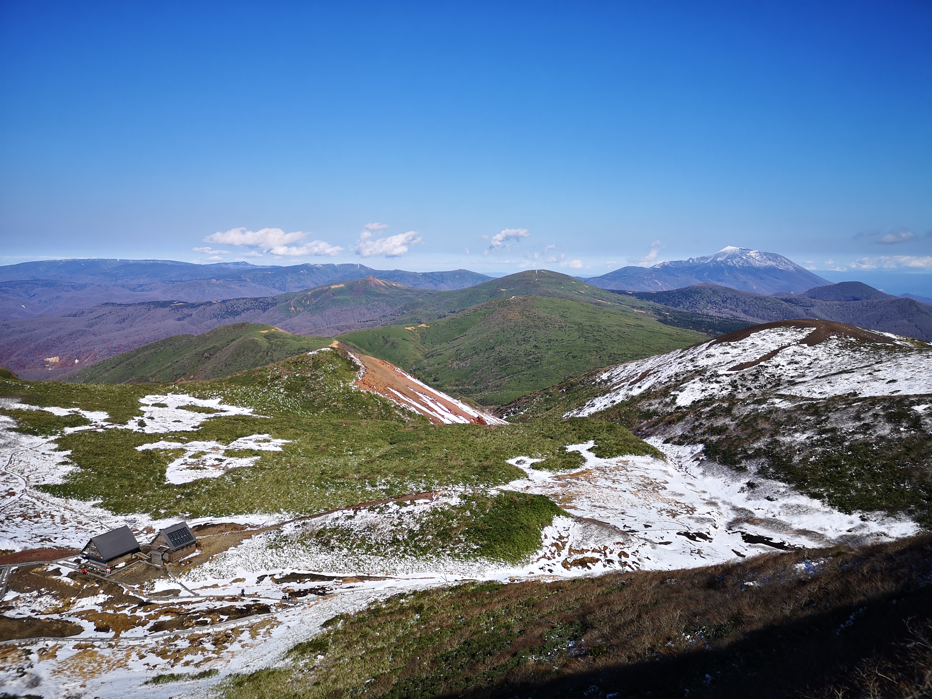
The flat wide summit was completely in the trees. There was no wind but also no views. I walked five minutes westwards towards the next peak, Mt Kita-Izumi, and found a spot with a view and without too much wind, perfect for lunch. At 2pm, I was ready to descend. I seemed to be the last person left on the mountain. The wind had completely disappeared, and the conditions were perfect for hiking. At first, I had great views east towards Sendai city. Then the path curved westwards around the mountain-side and entered the forest. Half an hour later, I reached an open space. Turning around, I had a good view of the rounded summit I had just come down from. I continued along the now level path, and soon reached a junction. Here, I turned left and headed towards the Kamoshika trail.
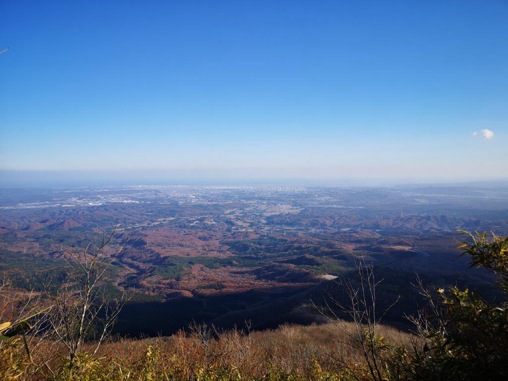
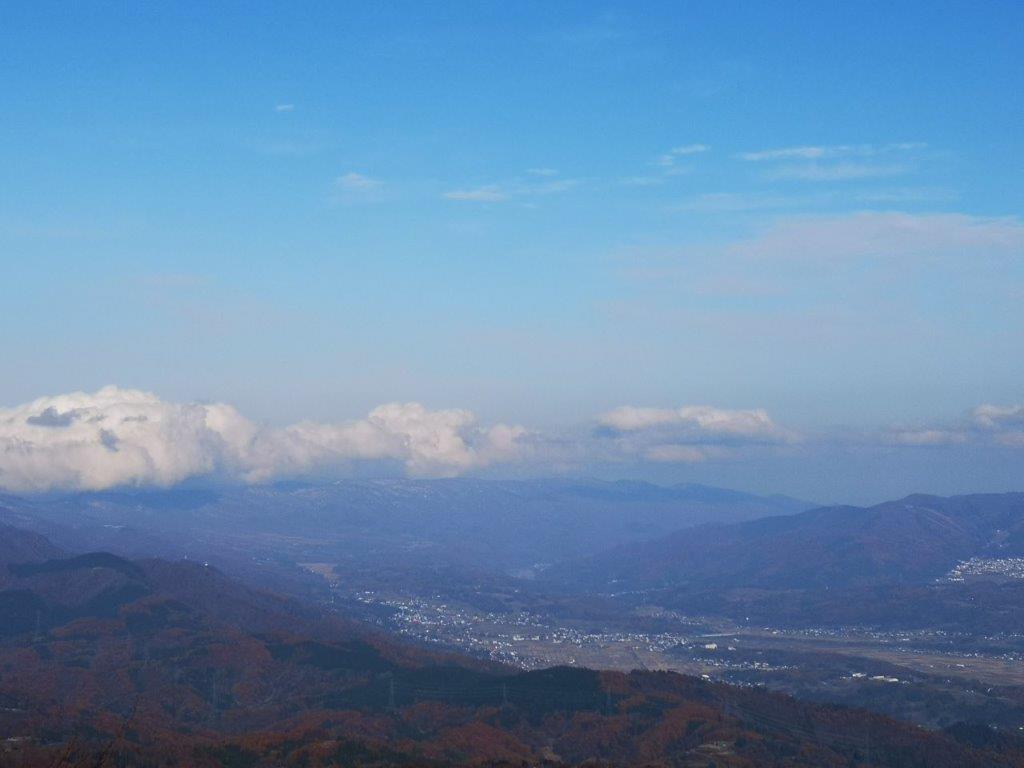
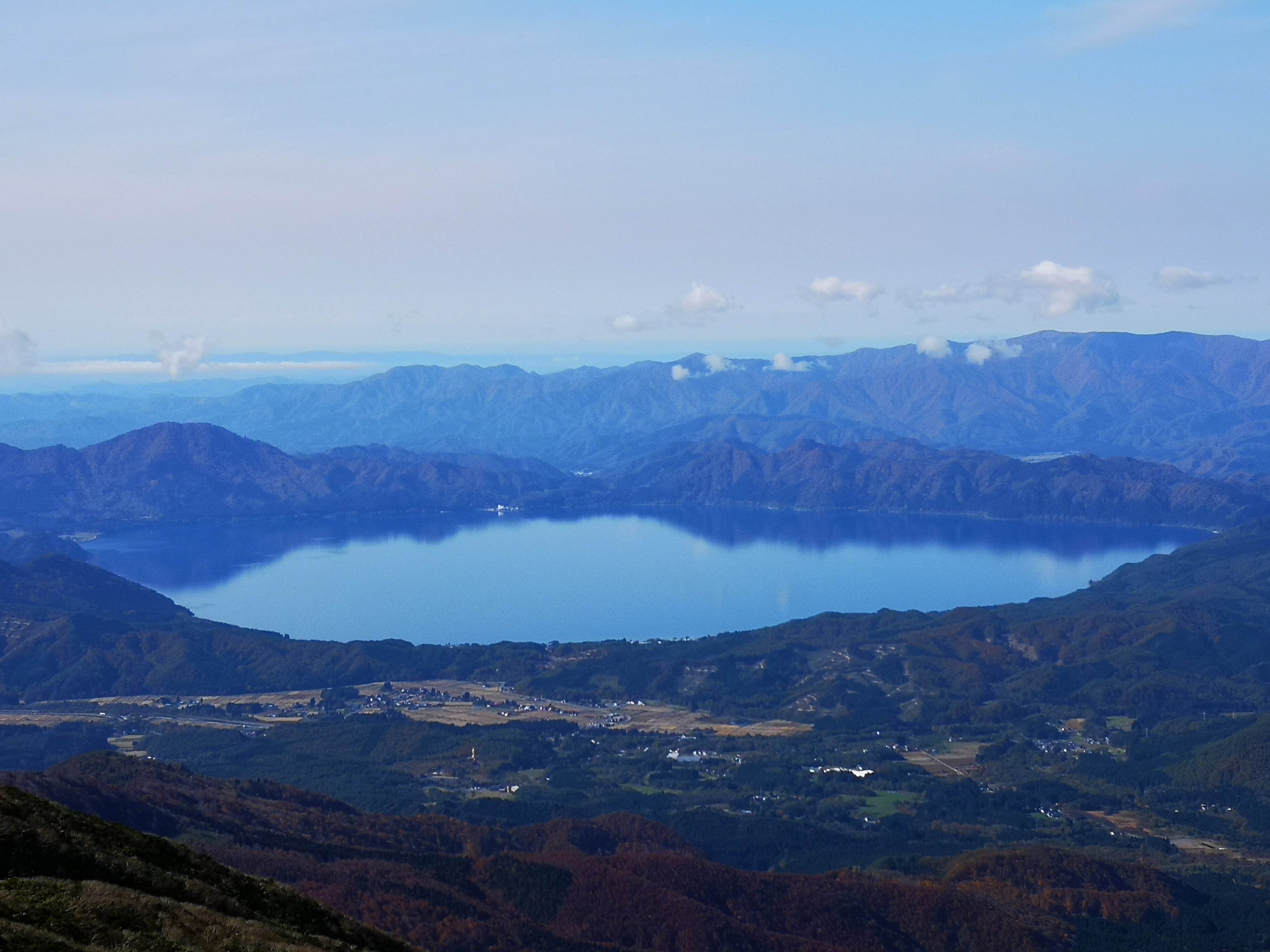
In the distance, Sendai city

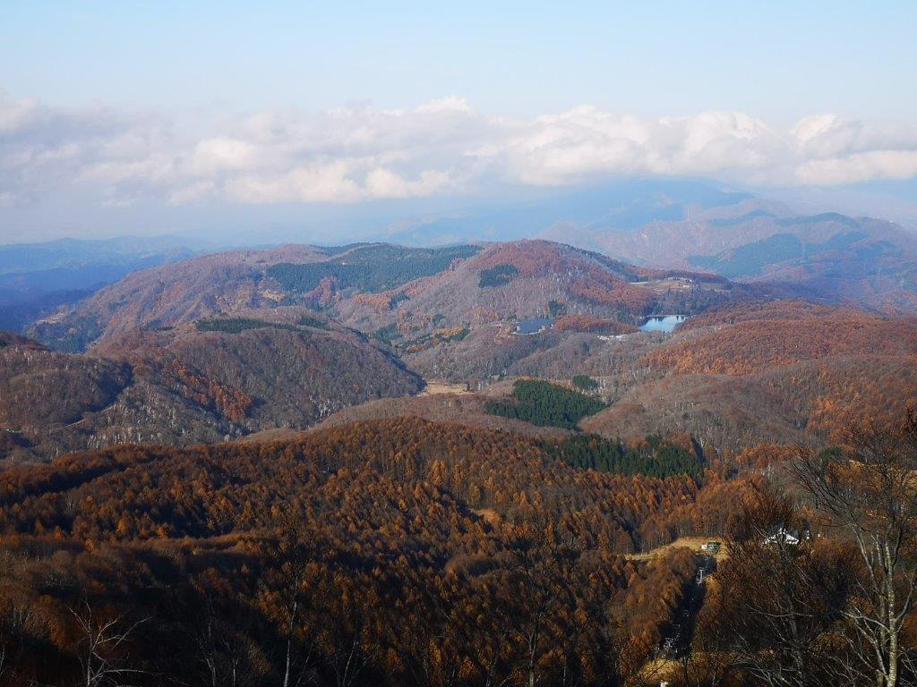
Lots of mountains to climb
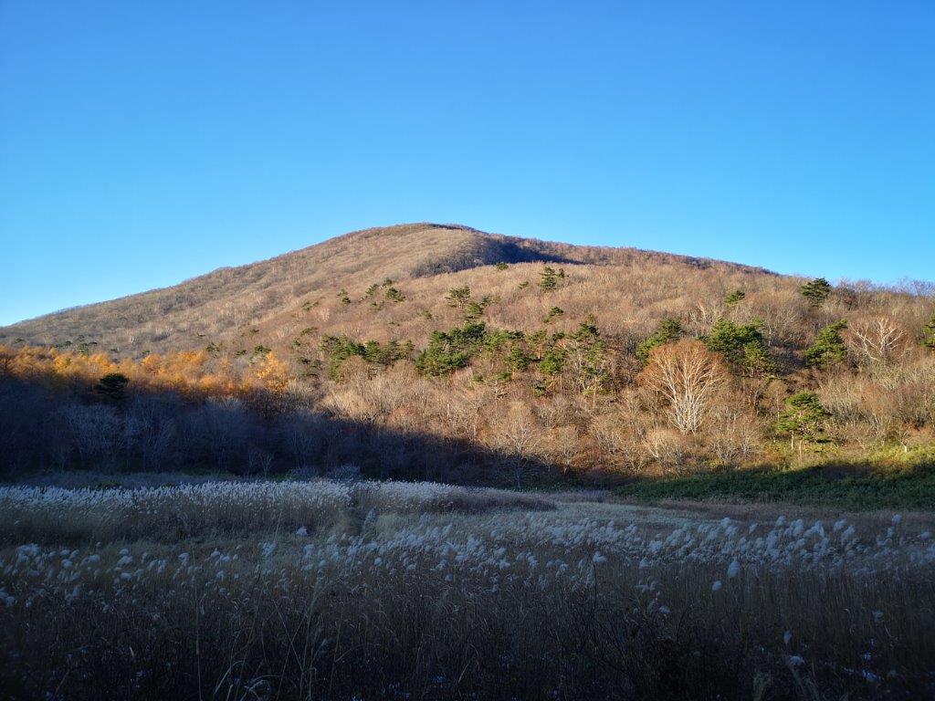
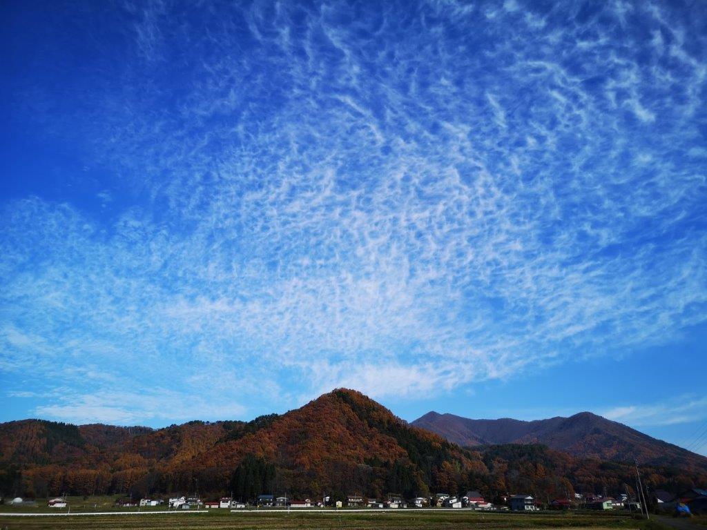
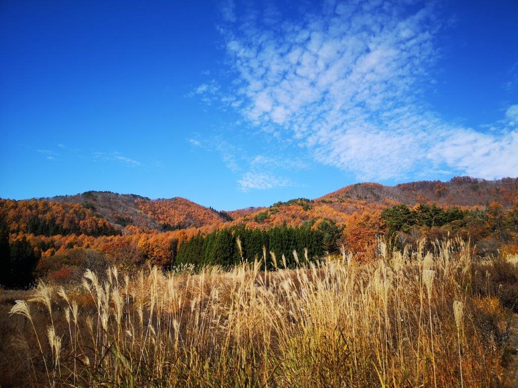
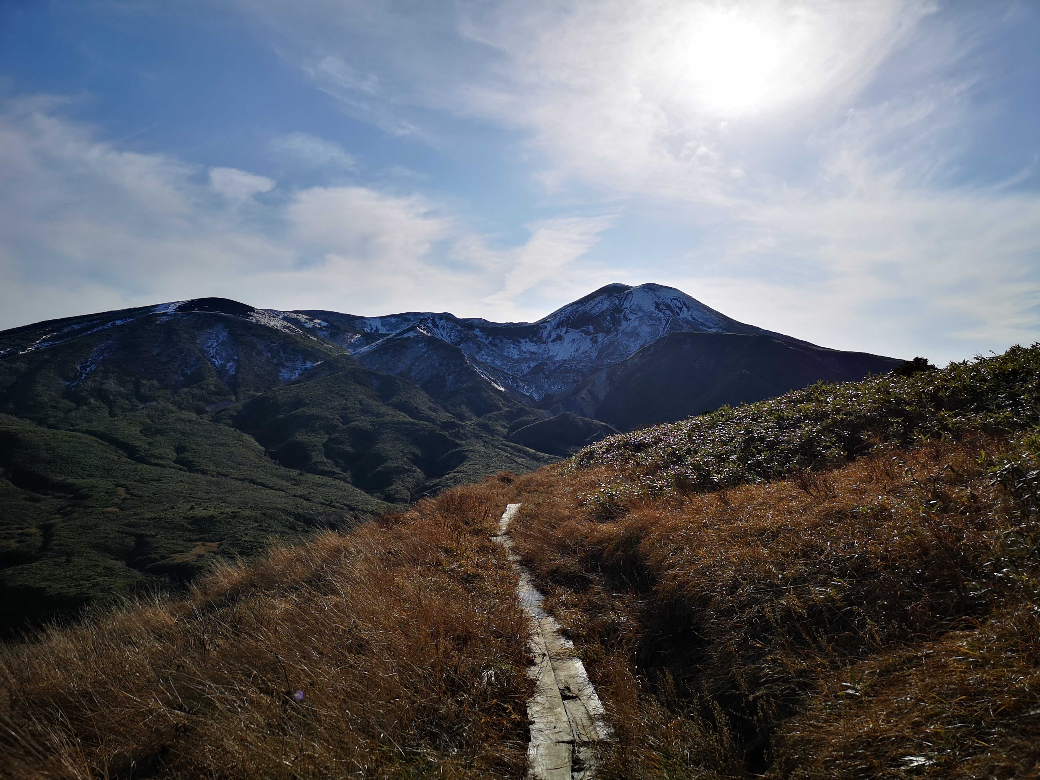
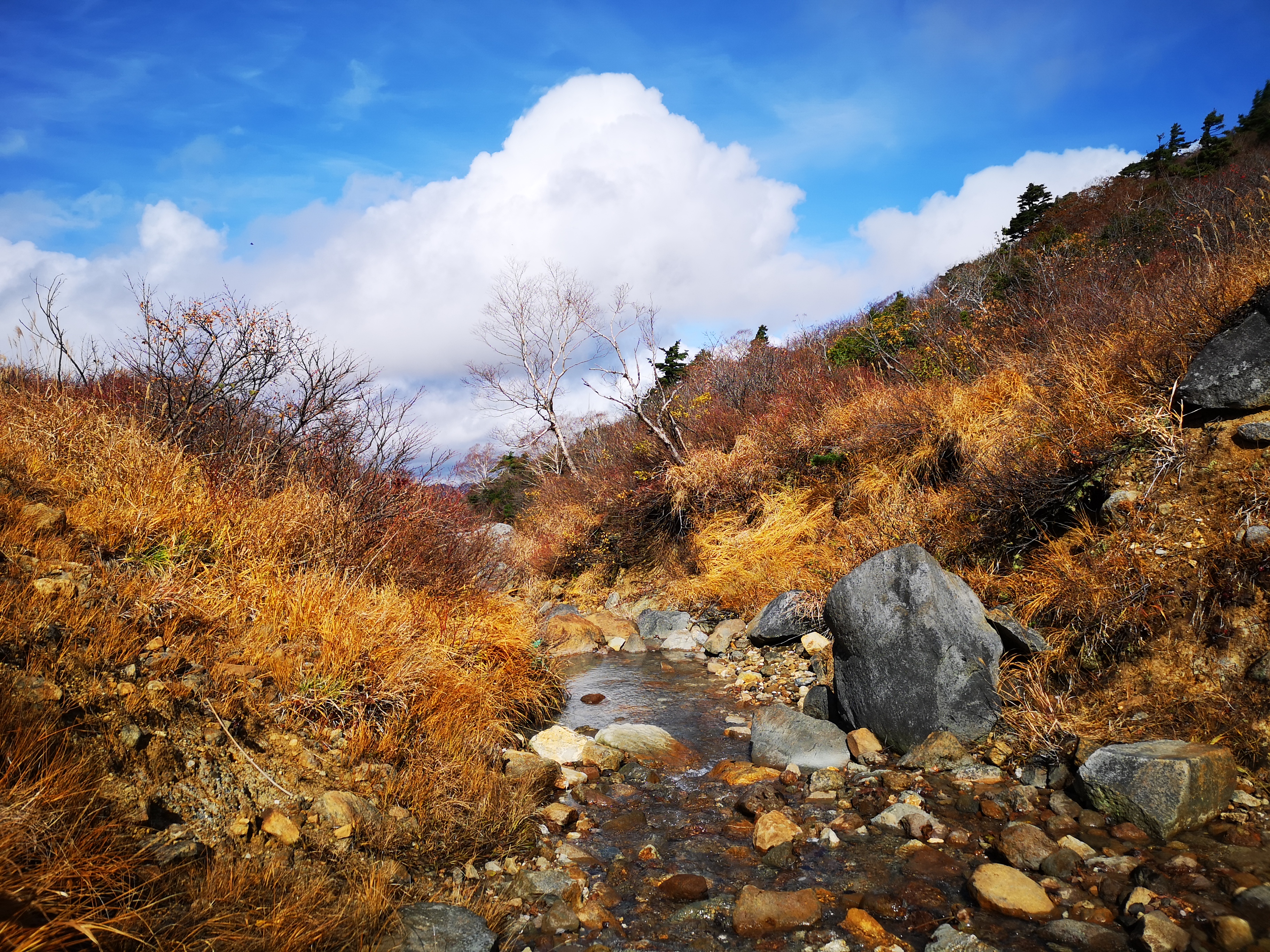
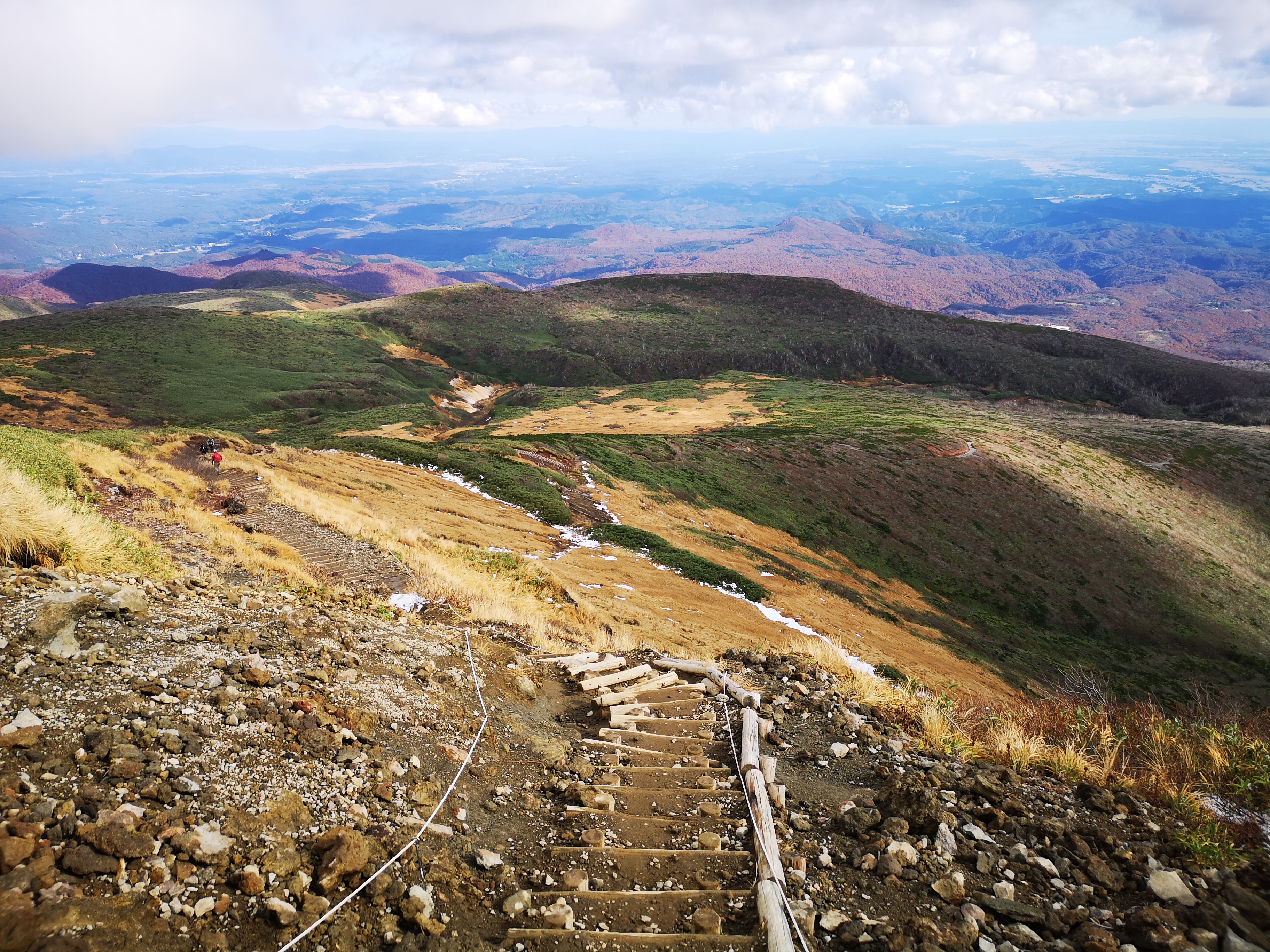
At 3pm, I reached Okanuma (岡沼), a wide open space with Japanese pampa grass, called suzuki in Japanese. Looking back, I had some more good views of the summit in the late autumn sun. After a short climb and descent, I reached another open space called Usagidaira (兎平 meaning rabbit plain) with pampas grass and isolated groups of birch trees. There was no-one around; I was definitely the last person left on the mountain. I reached the final descent which was very steep and followed a ski run (this mountain is also a ski resort in the winter). The view of the mountains west and south in the late afternoon sun was fantastic. I descended as quickly as my knees would allow, and reached the bottom of the mountain at 4pm, only 5 minutes before the departure of the return bus. At 5pm, I was back on the Sendai subway, and at 6pm I was on the shinkansen back to Tokyo.

Miyagi mountains in the late afternoon sun
See the wind blowing through “Suzuki”

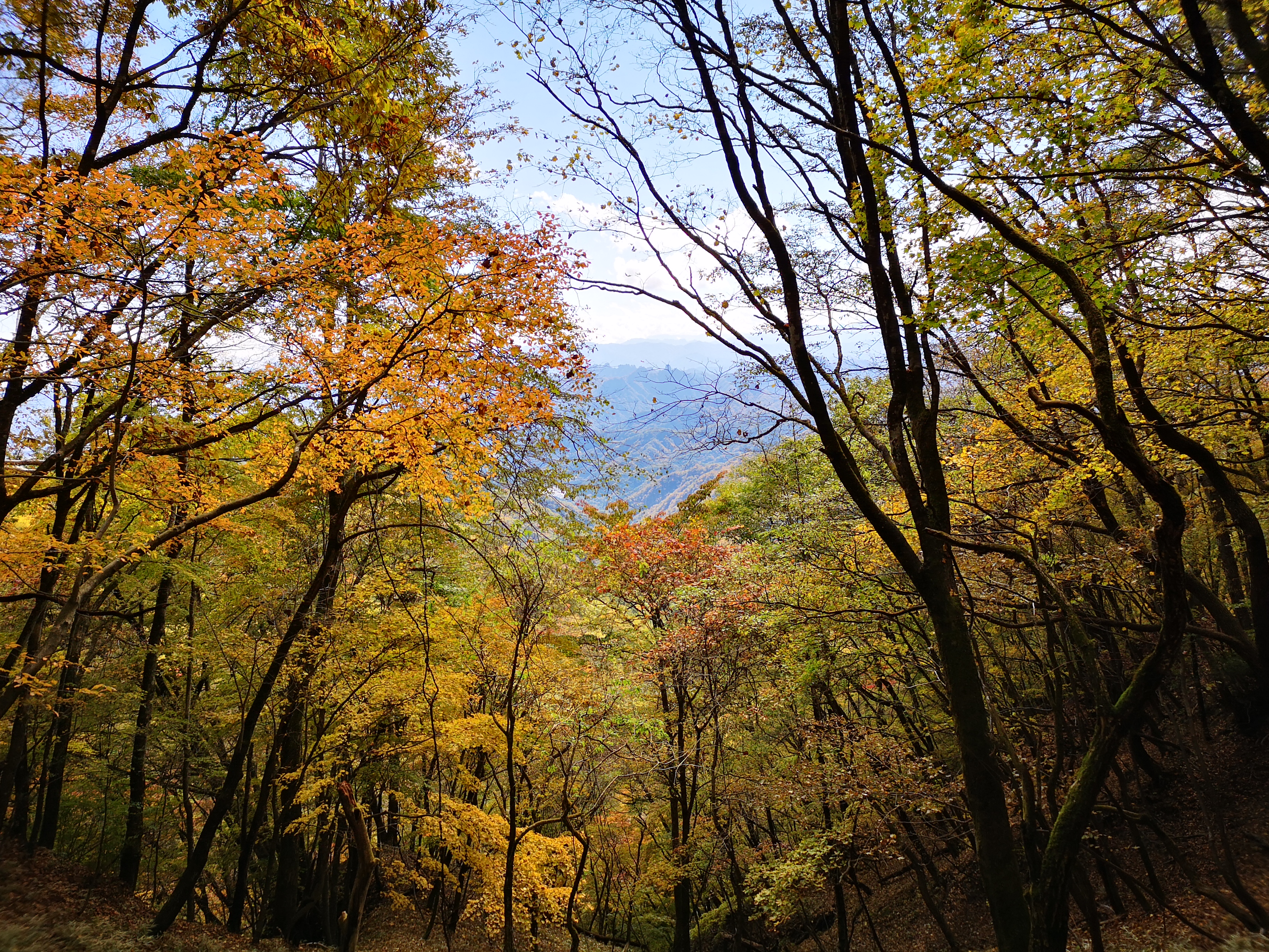
![Hiking in Tohoku: Mt Akita-Komagatake (1637m), Akita Prefecture, October 2020 [Map Available]](https://hikingtokyo.com/wp-content/uploads/2020/12/img_20201028_105556.jpg?w=1200)


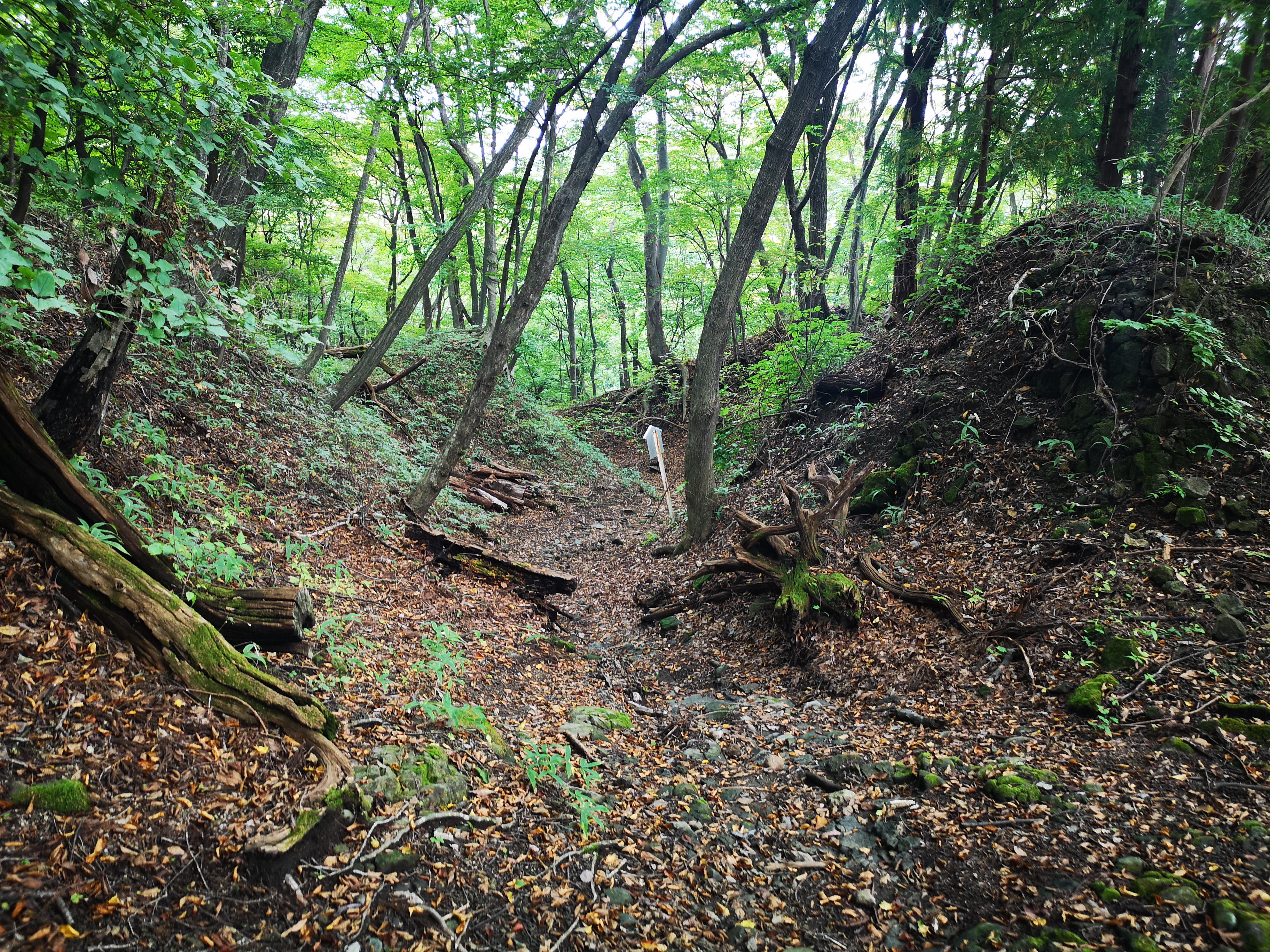
![Hiking the Nakasendo: Usui Pass to Yokokawa Station & Megane Bridge, Gunma Prefecture, October 2020 [2023 Map Available]](https://hikingtokyo.com/wp-content/uploads/2020/11/img_20201014_155721.jpg?w=1200)


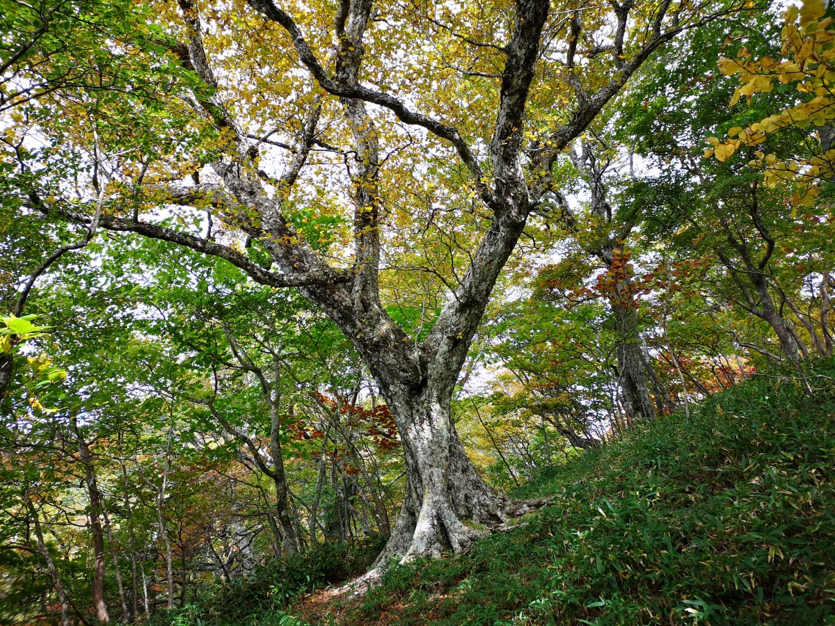


![Mt Daigenta (1598m) & Mt Nanatsugoya (1675m), Yuzawa Town, Niigata Prefecture, Saturday, October 3rd, 2020 [Map Available]](https://hikingtokyo.com/wp-content/uploads/2020/10/img_20201003_124312.jpg?w=1200)


You must be logged in to post a comment.