

I found this mountain in my Kanagawa guidebook; apparently, the view from the top was quite spectacular, despite its low altitude. The hike itself was relatively short, under two hours, but once again the “Kanto Fureai no Michi” came to my rescue. I had the choice of extending my hike to the north towards Mt Takao, or south. In the end, I chose the latter since it included less road walking. This time, I would be hiking only 40 kilometers from Tokyo, just a short bus ride away from the last stop on the Shinjuku subway line. On the other hand, I wondered how immersed in nature I would be, so close to the big city. The weather was supposed to be sunny all day, and I was looking forward to climbing a new mountain at the edge of Tokyo.
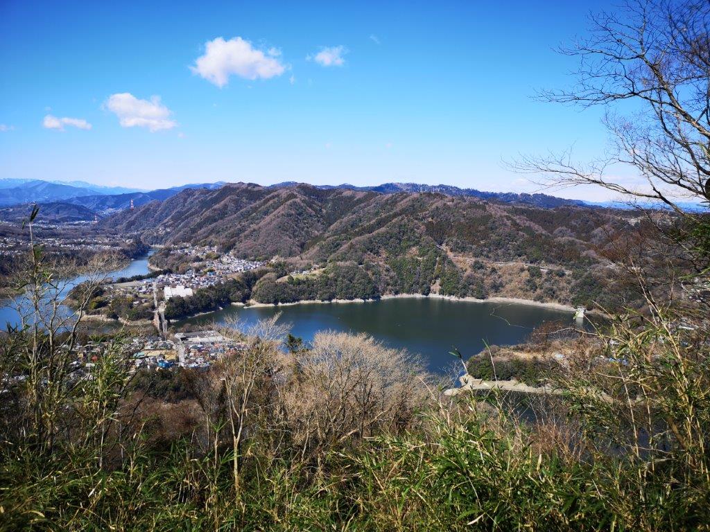
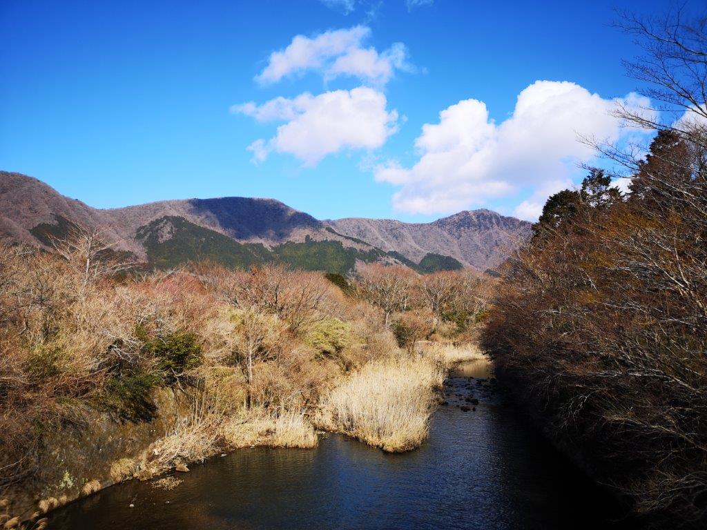
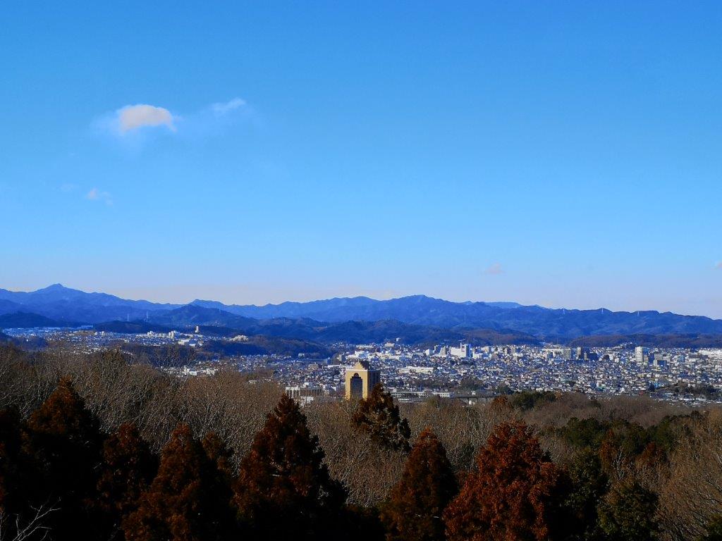
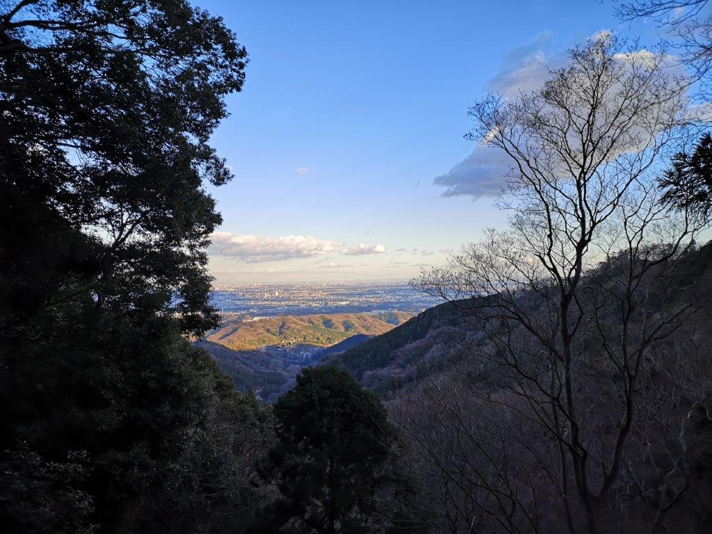
View of Tsukui lake from the top of Mt Shiro
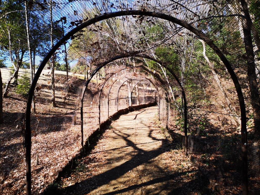
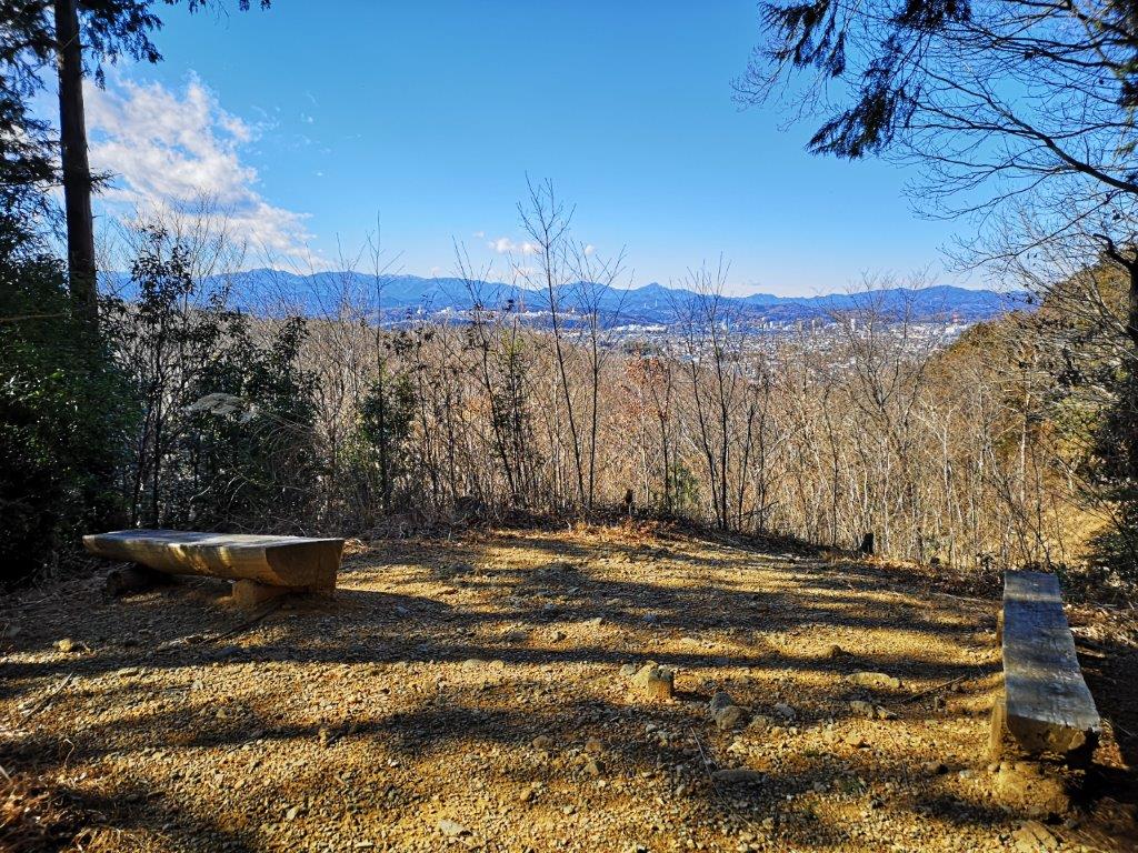
I arrived at Motohashi station under blue skies around 8:30. About an hour later, the bus dropped me off on a busy prefectural road. I crossed to the other side via a pedestrian bridge and entered the Lake Tsukui Shiroyama Park (津久井湖城山公園). Almost immediately, I was walking on a wooden walkway surrounded by trees at the bottom of a small valley – quite an impressive transition! After one hundred meters, I turned right up a small path leading to the Mt Jubei viewpoint (十兵衛山展望台). Looking south beyond Sagami river, I could see the high-rise buildings of Atsugi city. There was a bench, so I sat down for some breakfast under the warm morning sun. At 10am, I set off again.

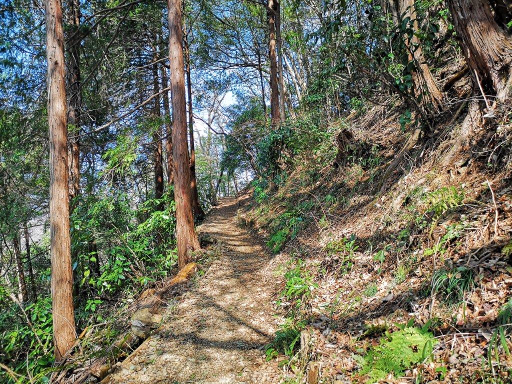
Hiking inside Shiroyama park

The Mt Jubei viewpoint
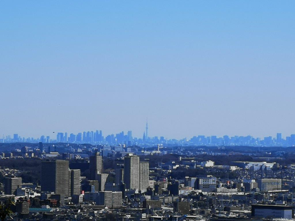
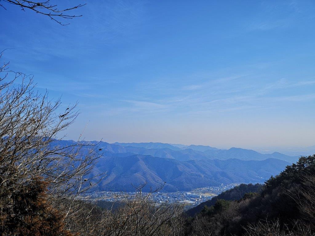
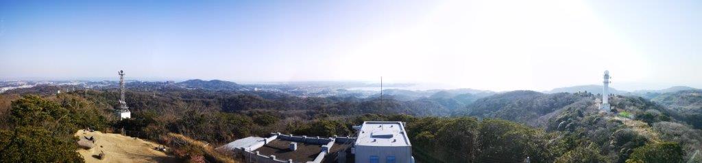
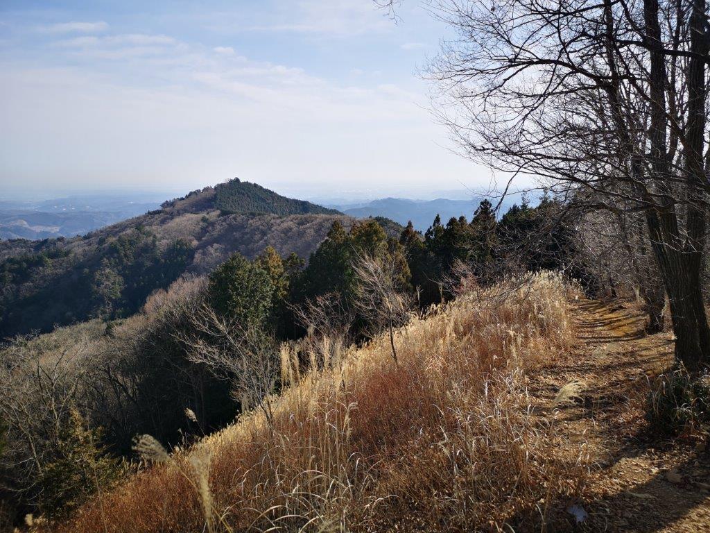
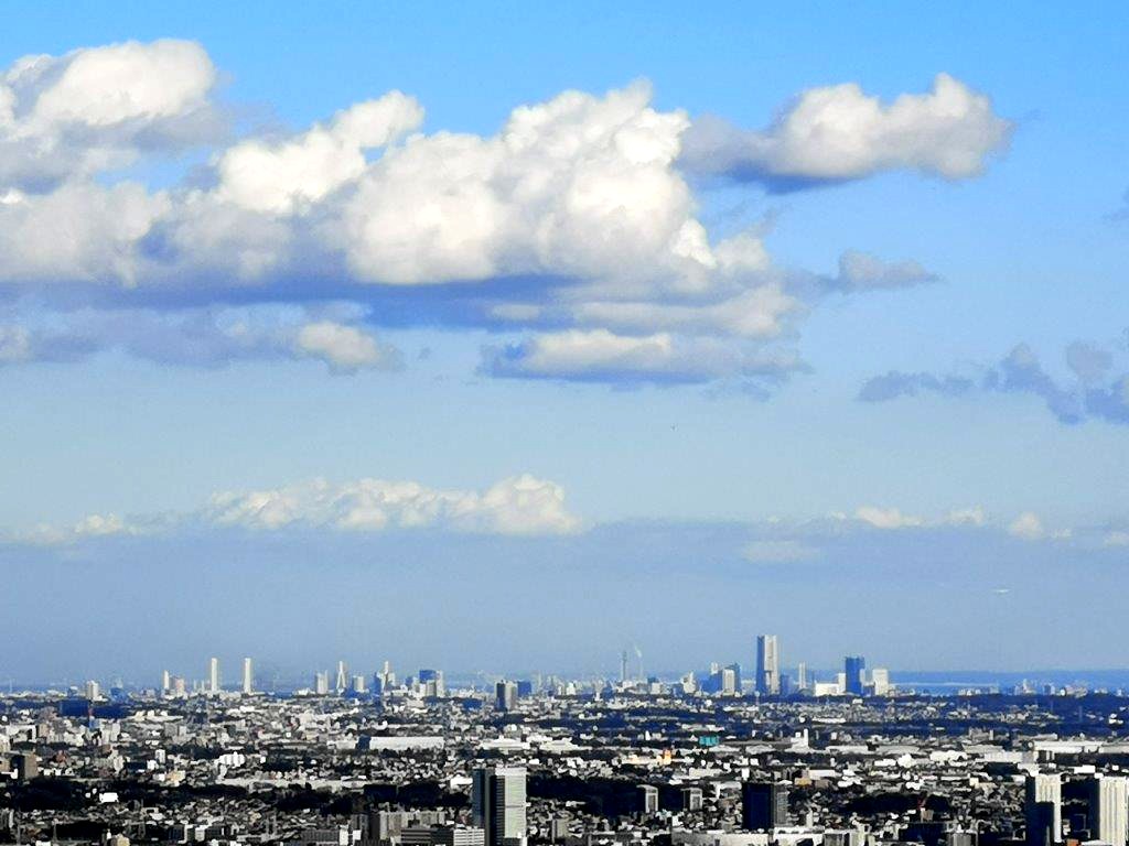
I was now walking along the “man’s slope” (男坂). At first, it was relatively easy but it soon turned surprisingly steep and narrow; occasionally, I steadied myself with the chains lining the left side of the path, while catching glimpses of Tsukui lake through the trees to the right. I never thought I would have such a tough climb so close to Tokyo! It took me nearly half an hour to reach the junction with the woman’s slope, from where it was just a few minutes of gentle climbing to reach Takauchi-Ba (鷹射場 meaning “hawk launching spot”). Looking east, I could see the skyscrapers of Shinjuku, as well as the Tokyo Sky Tree. To the south, I could make out the buildings of Yokohama, and the hills of the Boso peninsula behind.

Tough climbing up the man’s slope

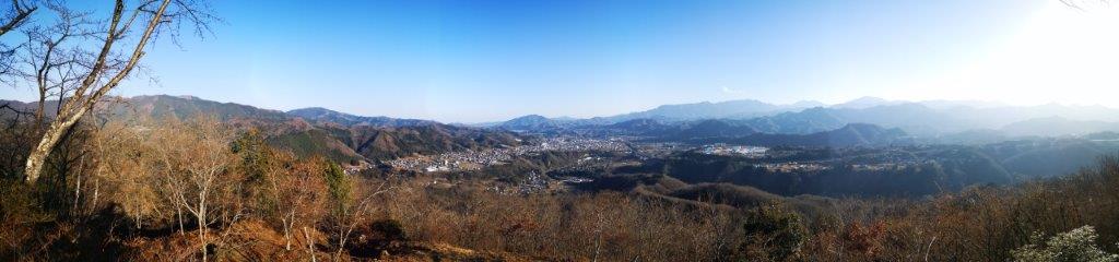
A view of the Tokyo skyline
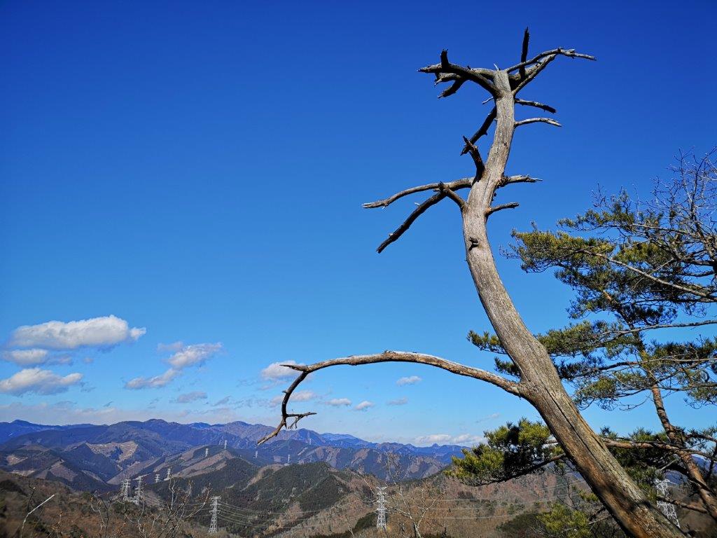
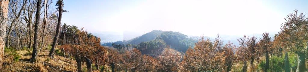
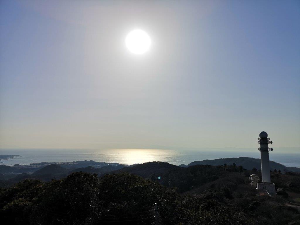
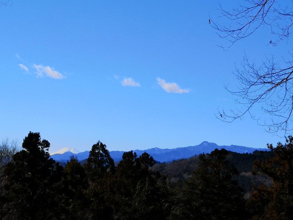
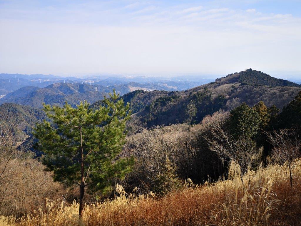
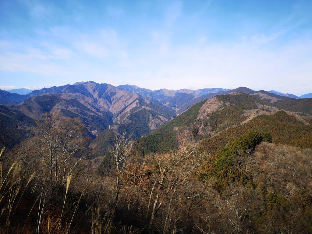
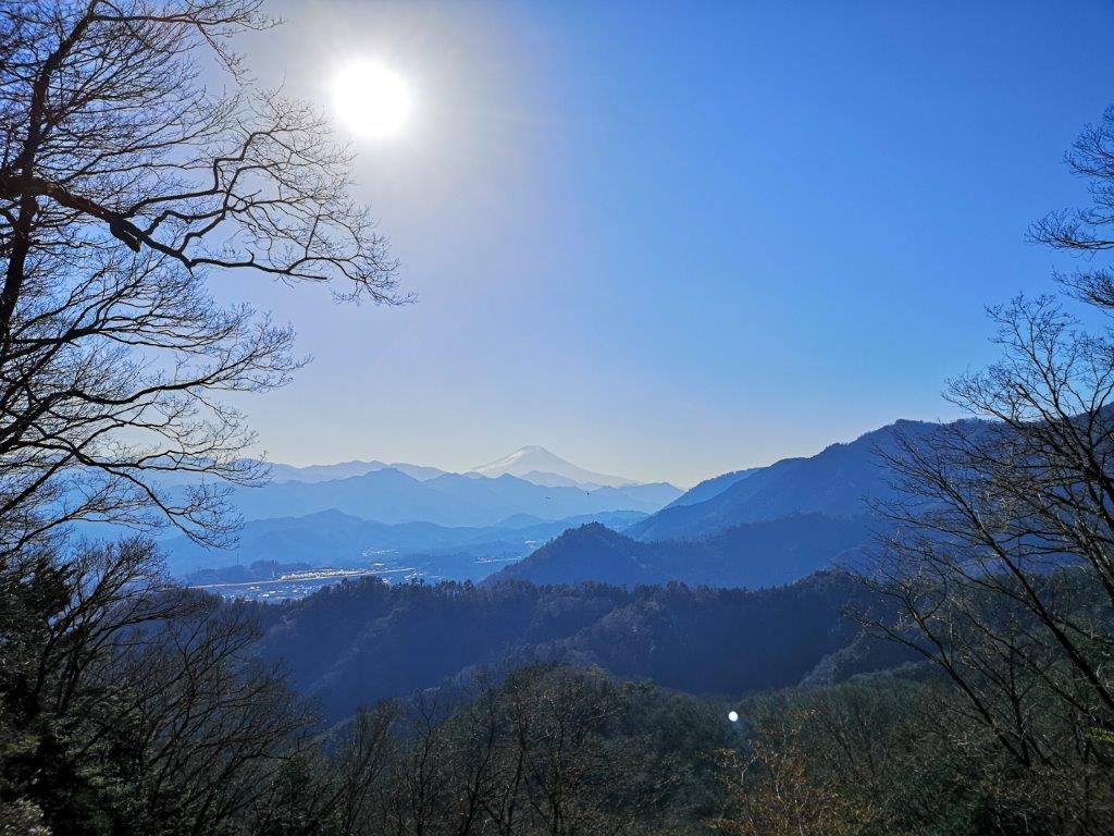
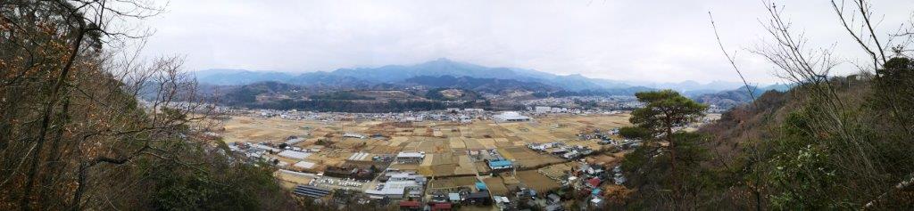
A few more minutes of hiking brought me to another good viewpoint, from where I could see the Tanzawa mountains to the south. Just above, and among the trees, there was the small Izuna Shrine (飯綱神社). At 11h30 I finally arrived at the top of Mt Tsukui-Shiroyama (津久井城山 つくいしろやま tsukuishriroyama). I sat down for lunch on a bench on the south side, enjoying a view of Mt Hiru framed by the trees. However, the best view of the day was to be had on the north side: west of Tsukui lake, I could see the long ridge culminating in Daibosatsurei with a dab of snow on the top. In the foreground was Mt Momokura and Mt Ogi. Through a break in the mountains, I could see Mt Kita-Okusenjo, the highest peak of the Chichibu-Tama-Kai National Park, still fully covered in snow.

Izuna shrine, half-way up the mountain
The Tanzawa mountains
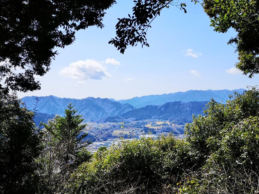
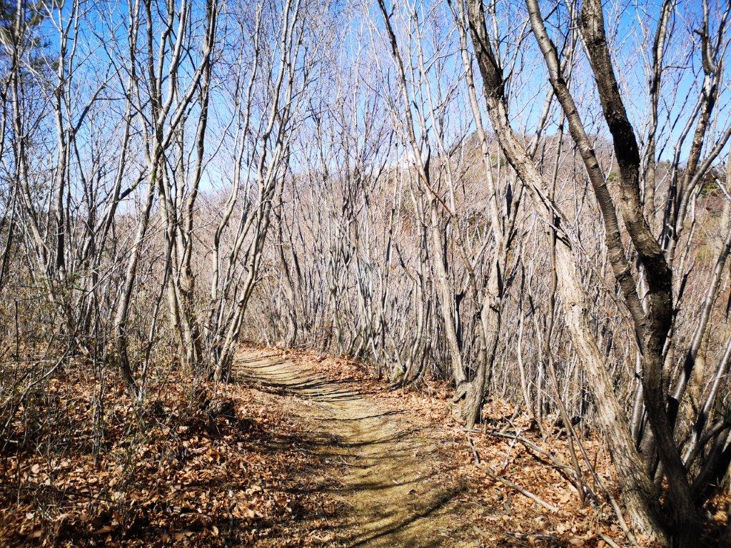
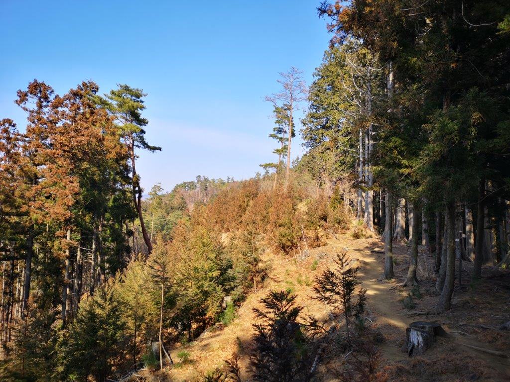
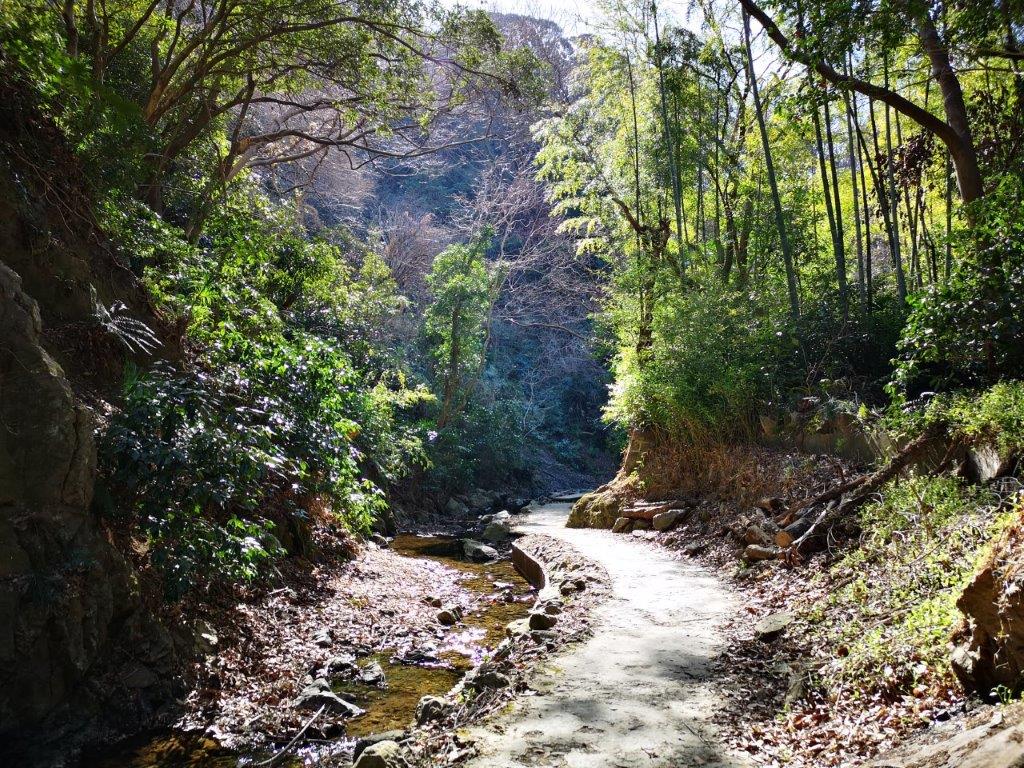
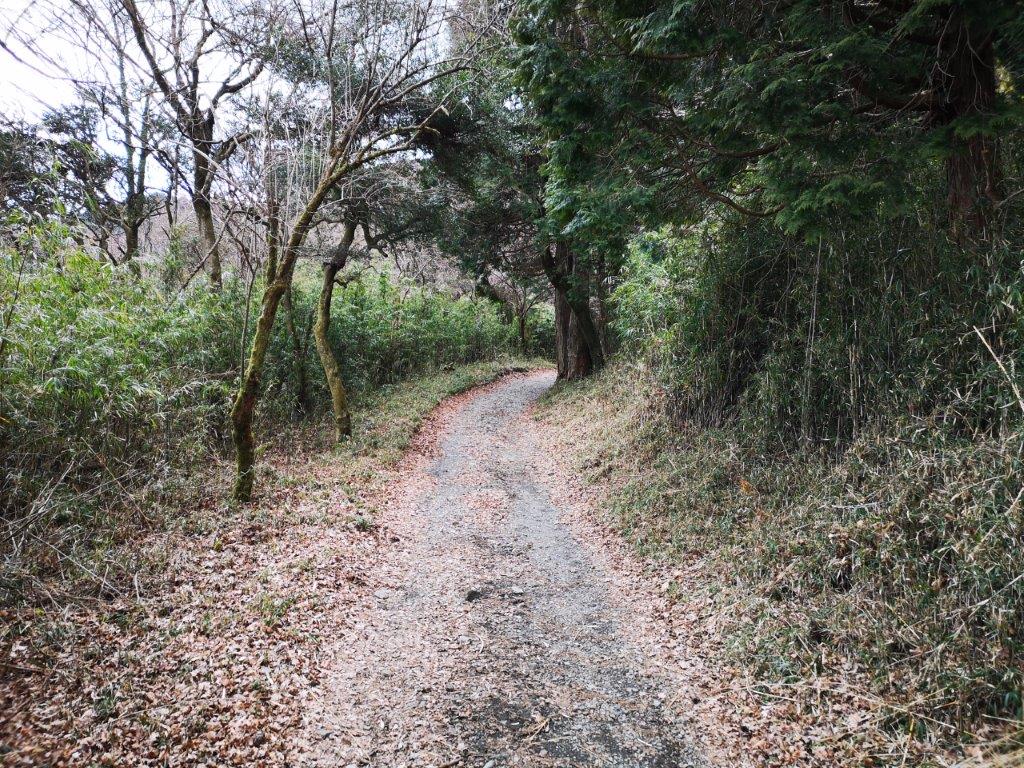
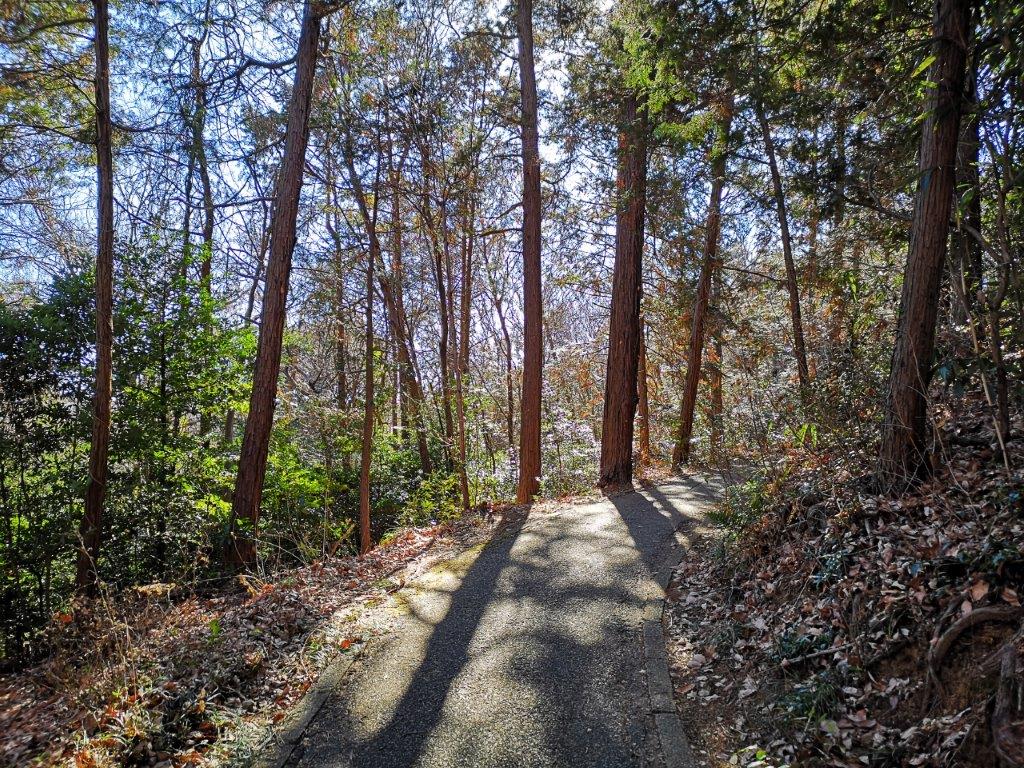
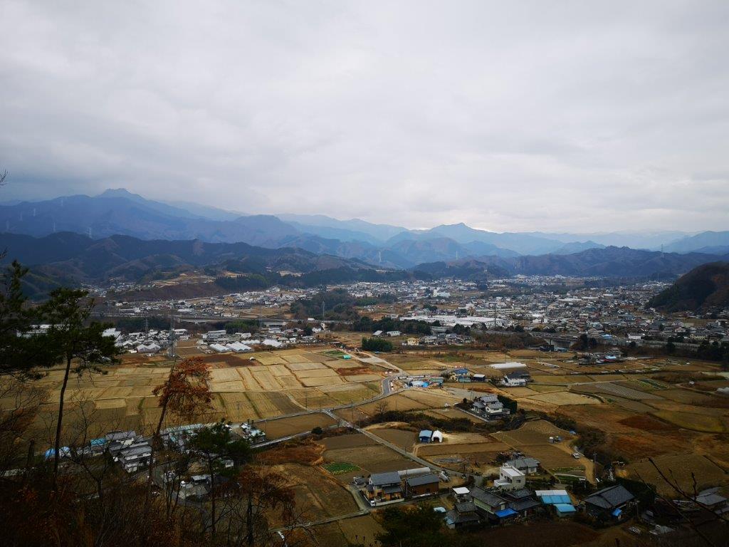
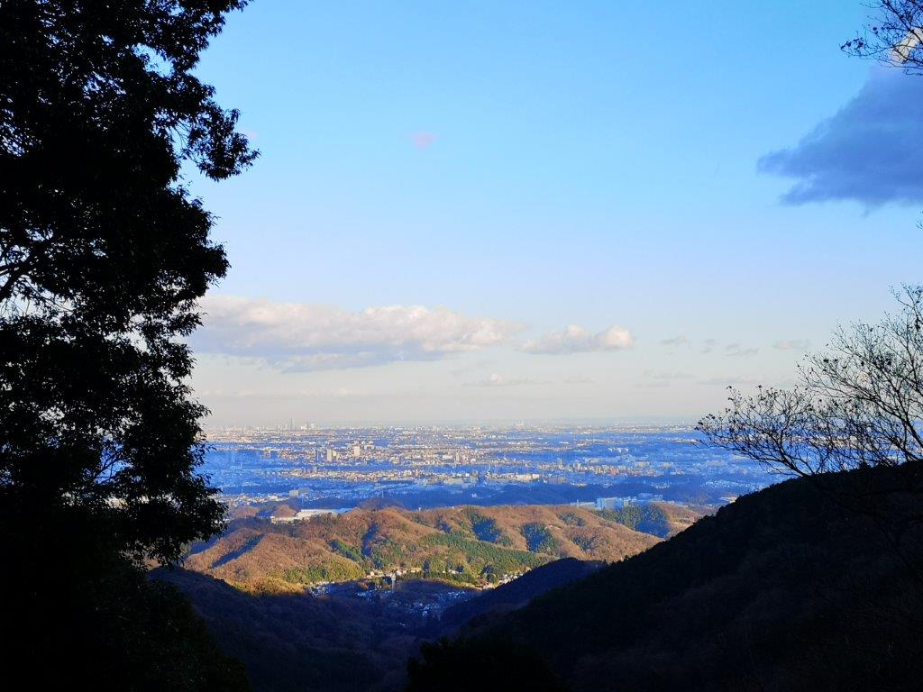
There were several trails down and I decided to take the level “woman’s slope”, which wound around the mountain top. It was a good decision as it was easy to walk and went through some pretty forest – the best trail of the day so far. Fifteen minutes later, I reached a pedestrian road coming from the entrance of the park on the north side. Walking down it for a few minutes, I reached a nice viewpoint of the lake and the mountains of Yamanashi to the west. I then walked in the opposite direction, along a nice, wide wooden walkway. It was equipped with brooms and explanations on how to sweep the deck – an interesting way of making a labourious activity seem fun!

Sagami river heading into Yamanashi prefecture

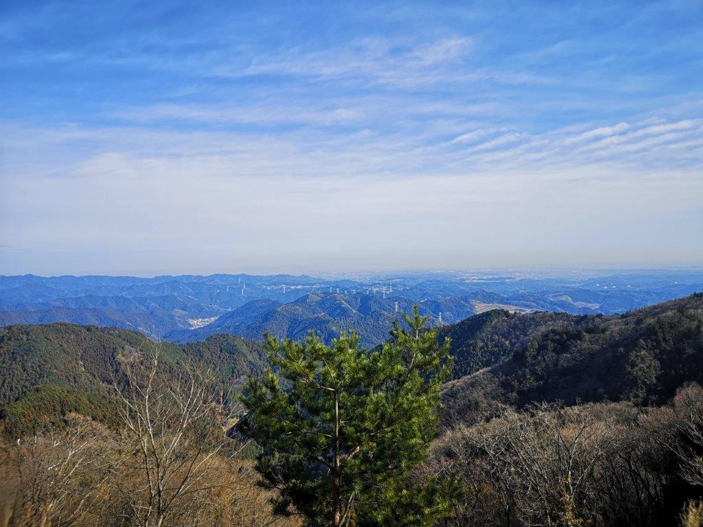
The Oku-Chichibu mountains, topped with spring snow
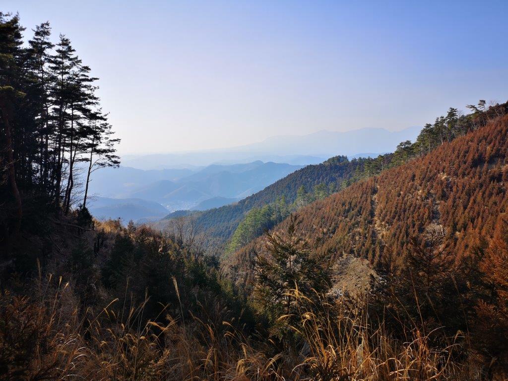
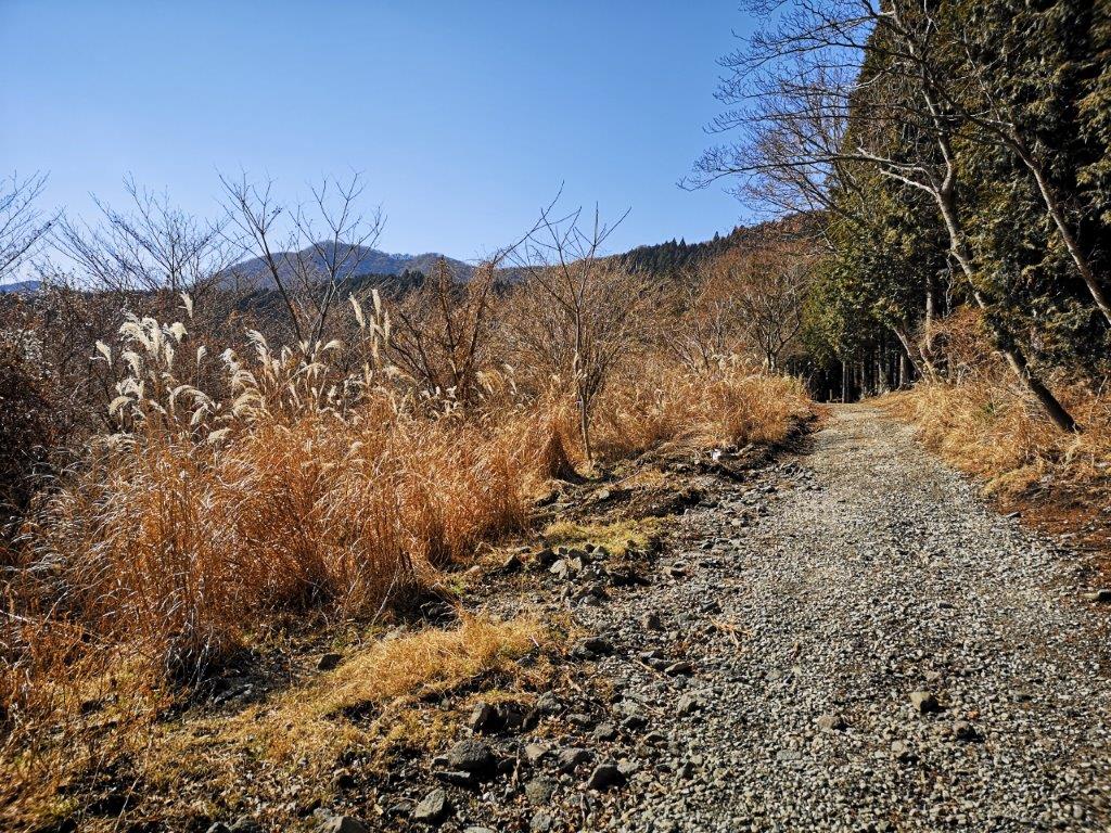
I soon reached a good viewpoint of the Tanzawa area to the south. I could see Mt Bukka and Mt Takatori,which I had climbed about a year ago. I continued straight on past the end of the road, and along a small path leading out of the park and onto the same busy road I had left over 3 hours ago. This time, I used a staircase passing under it to get to the other side. After following a parallel but smaller road for about ten minutes, I reached the “Fureai no Michi” and the start of the hiking trail for the next mountain of the day. After a short climb through a forest, I reached a flat area of fields with goods views south of the mountain I had just come from. After crossing a village and some more fields, I reentered the forest and the hiking trail.
Easy walking down the woman’s slope
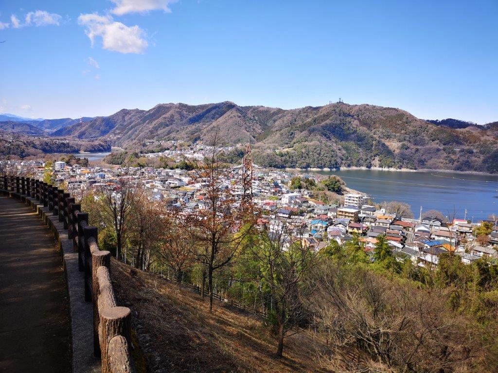
A good viewpoint at the base of the mountain
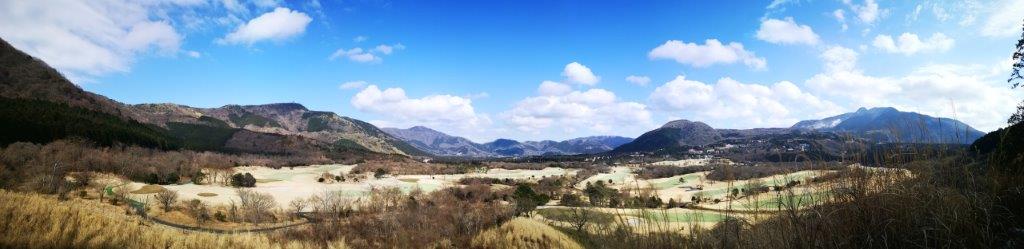
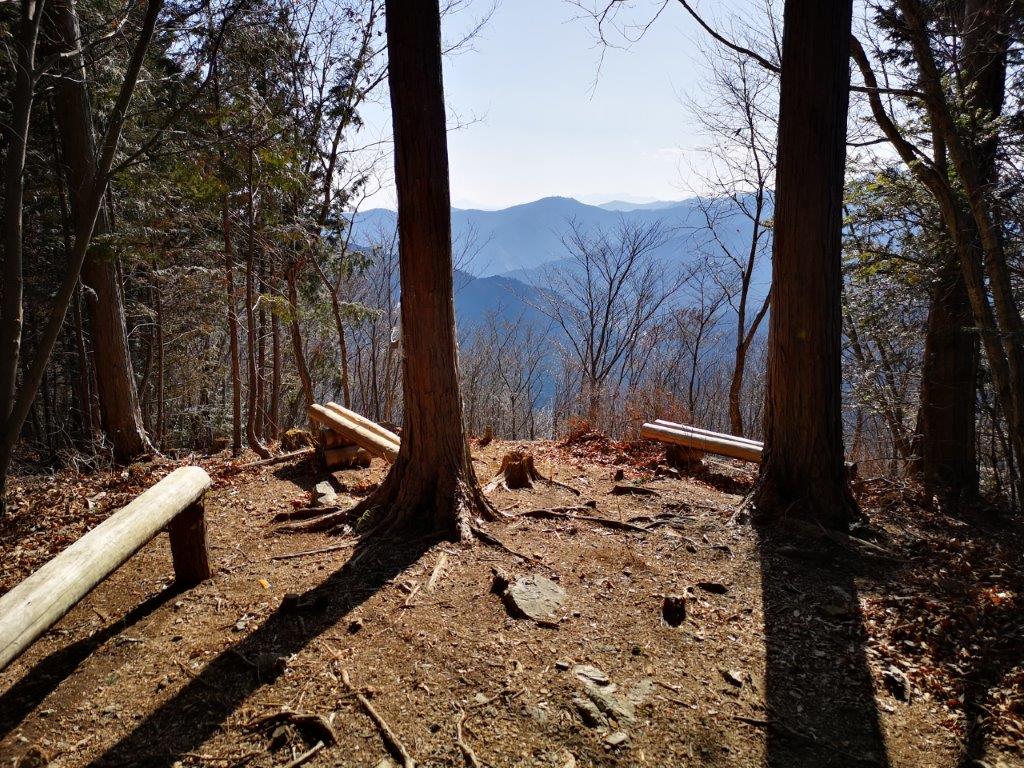
After some gentle climbing through a mixed forest, I reached the top of Mt Amagoi (雨乞山 あまごいやま amagoiyama meaning “pray for rain”) at 1h40. There was no view and nowhere to sit, so I continued down the other side without a break. Barely a few minutes later, I reached a junction and a bench. There was still no view but I sat down for a late lunch anyway. Although the trail continued along the ridge, I decided to follow the “Fureai no Michi” down the mountain and back into the valley. Once out of the forest and back on a paved road, I had finally had some good views; the green fields and the towering Tanzawa mountains in the background reminded me strongly of Switzerland.

Some more easy hiking along the Fureai no Michi

A glimpse of Switzerland in Kanagawa prefecture
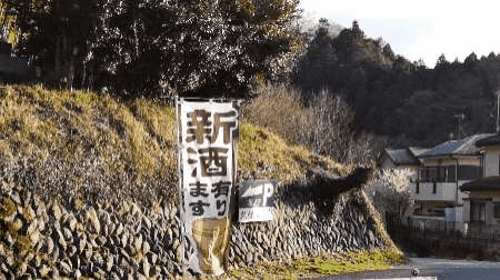
Since it was only about 3h30, I decided to drop by a local sake brewery called Kubota Shuzo, better known for their Sagaminada brand. I was in luck – they were selling a new brew of sake made with Miyama Nishiki rice. After buying a couple of bottles, I hopped on the bus for Motohashi station where I transferred to the subway for Shinjuku, less than an hour away. Overall, I was quite impressed with the greenery and the views in Tokyo’s backyard (technically Kanagawa)…as well as the sake which tasted great!

![Mt Akayuki (620m), Ashikaga City, Tochigi Prefecture [Forest Fire]](https://hikingtokyo.com/wp-content/uploads/2021/04/img_20210223_141151.jpg?w=1024)


You must be logged in to post a comment.