

Ashikaga is another area, just a dozen kilometers southeast of Kiryu, that is suitable for winter hiking. Here again, I had exhausted all the suggestions from my guidebook, but I was able to find a section of the “Kanto Fureai no Michi” nearby that would make a good hike. Starting several kilometers north of the city, it was the continuation of the hike I had done up Mt Gyodo in February 2018. There were no peaks on this route, and probably few views, but it ended at a shrine and an interesting rock formation. It seemed a little short, but after examining Google Maps, I discovered a hiking trail that led to Mt Akayuki which I had climbed in November 2018. From there, I could descend to Matsuda town and a bus stop. On my previous trip, I had missed out on that last part, so I was excited at the prospect of climbing this summit a second time.
Looking north, the mountains of Tochigi
I rode the comfortable Ryomo limited express to Ashikaga City, arriving there before 9am. The weather was sunny and I had good views of Mt Akagi to the north. As I boarded the bus, the driver told me that a certain hiking area was prohibited and pointed to a red sign at the front of the bus. Fortunately for me, it concerned Mt Ryogai (両崖山), the peak before Mt Gyodo, and a few kilometers away from my starting point. The fire, which had started just the day before, continued to burn for 3 weeks, unfortunately for the people of Ashikaga, and hikers and lovers of nature in general. From the bus, I could see smoke rising from the ridgeline; a helicopter flew by, releasing water from above.

In the center, smoke from the Ashikaga forest fire
Another helicopter carrying a load of water flew directly over me shortly after I got off the bus (see video). I walked up the narrow road and reached the start of the hiking trail just before 10am. At first, it followed a dirt road through the bottom of a small valley, before suddenly turning right up the mountain side. A few minutes later, I was walking north along a low wide ridge through the forest. The wind was blowing hard today and the cypress trees were swaying above me; I was worried about the fire, thinking it would be hard to put it out in such conditions. At 10h30 I reached the road at Umauchi Pass (馬打ち峠 meaning “hit the horse”).


Sunny conditions all day long
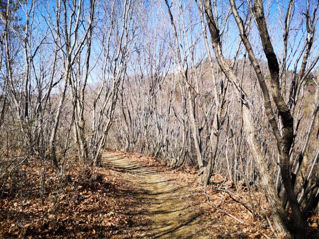
The signboard at the pass said that in ancient times you had to whip your horse to get it up the steep slope. I needed no such encouragement, but finding a bench at this spot, I sat down for a late breakfast. From now, the path gradually went up, but as I had expected, there were few views; at the same time, I was glad that the trees blocked out the cold wind. Half an hour later, I reached a nameless summit with a picnic table. Looking through the trees, I could see Matsuda town stretching south along the valley. After a short break, I continued down the other side, soon arriving at another road crossing.
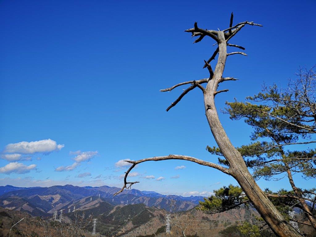
A great place to hike in the winter
The path now climbed more steeply, but since the steepest sections had log staircases, it remained easy to hike. Thirty minutes later, I reached an area free of trees, and turning around, I had a good view southwards of the ridge I had walked so far. Beyond, I could still see smoke rising from the forest fire (see video). Facing east, I could look down on the Nagusa river valley. The path descended again and very soon I reached the Nagusa Itsukushima Shrine (名草厳島神社). A few minutes later, I reached the Nagusa Megalith Group (名草巨石群), several mossy boulders in the middle of a forest of towering cedar trees. This was also the end of the Fureai no Michi.

Itsukushima Shrine and one of the boulders of the Nagusa Megalith Group
I continued along a paved road as it zigzagged up the mountain. It took 20 minutes to reach a log staircase and the entrance to the hiking trail. Here the path was narrower, with more ups and downs. At one point, I had some good views to the north, although I couldn’t recognise any of the mountains. At 2pm, I reached the turnoff for the terrible path I had taken 2 years earlier. There was now a sign prohibiting entry because of the many fallen trees blocking the path. A few minutes later, I reached the top of Mt Akayuki (赤雪山 あかゆきやま akayukiyama meaning red snow). I sat down on a bench for a short break, facing the view to the east through a break in the trees.

View of the hills of Southern Tochigi
I admired the low hilly area of southern Tochigi while munching on my last onigiri. I then went down as fast as I could and arrived at a road next to Matsuda lake in just twenty minutes. Walking past the dam, I saw a bright red fire engine and a group of fire fighters spreading a bag used for transporting water. As I was walking down the road towards the bus stop, a helicopter flew by overhead; a few minutes later, it flew back with its load of water (see video). It seemed like the efforts to put out the fire were still continuing. I reached the bus stop at 3pm, and by 4pm, I was sitting comfortably again on the Ryomo limited express headed back to Tokyo.
See the view from the top of Mt Akayuki and video of the Ashikaga forest fire

