From the Archives: Two Shirane Mountains in Two Days, Gunma Prefecture, August 2017 [Map Available]

These two hikes in Gunma prefecture are from August 2017, during another of my mother’s visits. We had taken the train to Takasaki the previous day, and had spent the night at Dormy Inn. In the morning, we used a Times Share car to drive to the base of Mt Nikko-Shirane. After our hike, we then made our way to Kusatsu-onsen on the other side of the Kanto plain, and spent the night at a hot spring hotel. The next day, we went to the base of another Shirane mountain – Mt Kusatsu-Shirane – after which we drove over to Shiga Highland to climb Mt Shiga.

Download a map of the Mt Oku-Shirane hike

This map was developed for Japanwilds with the Hokkaido Cartographer

Find more Japan hiking maps on Avenza

Since these two hikes weren’t day trips, they fall outside the scope of this blog, but they are in areas relatively close to Tokyo and inside National Parks, so they are well worth a visit. I think that each area is reachable from Tokyo as a day-trip using the Tokyo Wide Pass, and I might attempt it one day!

Nikko-Shirane Ropeway & Goshiki-Numa Lake

A beautiful lake high up in the mountains

The drive from Takasaki to the Nikko-Shirane Ropeway was fairly uneventful. Even though it was a weekday, I was surprised by how few people there were, especially since it was the middle of the summer holidays. The place is mainly a ski resort in the winter so perhaps people aren’t aware that it also runs from June to October. I love ropeways and I keep on discovering new ones – it’s amazing how many there are in Japan!

Sun shining through the forest

At the top of the ropeway, inside Nikko National Park and nearly 2000m high, the visibility wasn’t the best, and the views were a little disappointing. At least it was cooler than down in the valley. The hike started out on a fairly level trail through beautiful forest. After an hour or so, we had to climb steeply for a short while to reach the edge of a pond. Here I was able to look up towards the top of Mt Nikko-Shirane. I had been hoping to get my revenge, since it was in clouds when I climbed it several years ago. However, the top was in the clouds again, and another ascent seemed pointless.

Midaga Pond near the top of Mt Nikko-Shirane

We continued a little further and reached the edge of a crater with at the bottom, the beautiful Goshiki-Numa lake 五色沼 (which means five-colour lake). Since we had enough time, I decided we could descend to the shore of the lake and climb back up again. Unfortunately the descent was steep and rocky, and we regretted it a bit.

The Goshiki-numa lake, inside Tochigi prefecture

After enjoying the peace and quiet of the lake, we made our way back up to the edge of the crater via a different path, and then walked back the way we had come. At the pond, we passed a group of noisy school children who had come up a different path. We headed back down the steep path to the forest below, and at the bottom we took another trail that looped back to the top of the ropeway.

View of Maru-numa lake from the ropeway

Check out the views of Nikko-Shirane

On the drive back we stopped at the very impressive Fukiware Waterfalls 吹割の滝 where we could walk along the river and the falls for a short way. Afterwards, we drove on to Kusatsu Hot Spring about 100km away, and we reached our ryokan after dark.

Where is all the water going?

Check out one of the famous waterfalls in Japan

Yugama Lake, Mt Yokote (2307m) & Mt Shiga (2037m)

Looking back towards Mt Shiga

The next morning was sunny, but by the time we had drove all the way up to Yugama Lake 湯釜 the clouds had rolled in. We admired the light blue colour of the crater lake, but gave up on climbing Mt Kusatsu-Shirane. I had climbed it before in the clouds, and had little interest in doing it again in similar conditions.

A beautiful crater lake

We drove on to Yokoteyama Ropeway which took us to the top of Mt Yokote 横手山. We got some nice views of Shiga Highland 志賀高原. Fortunately, the Nagano side was still free of clouds. We finally arrived at Kumanoyu (meaning the bear’s bath) where we left the car. We were now firmly inside Nagano prefecture. Another short ropeway took up to the start of the hike. Luckily, the weather was holding up. The first part was quite level. At one point the path went through some very high bamboo, higher than our heads, and I was worried about bears. So I reached into my bag to retrieve my bear bell only to realise that I had left it in the car!

View from the top of Mt Yokote

Soon the path started to climb. It was steep, with big rocks and protruding tree roots, making progress slow. The path slowly wound up the side of the mountain. We saw few people, and thankfully no bears. We reached the top of Mt Shiga 志賀山 just before 2 pm. A little way past the summit, there were some good views of Onuma-ike Lake below. The whole hike is inside the Joshin Etsu Kogen National Park and is very wild and beautiful.

The area of our hike – Mt Shiga is in the clouds on the right

We climbed down via a different path, spotting various small ponds on the way. Finally, after passing through a shinto gate or “torii”, we reached the base of the cone-shaped Mt Shiga. The next part involved walking along an elevated walkway through marshlands – much easier than the rocky path down the mountain! The final part back to the ropeway was along a wide and level path through the forest.

Onuma Lake in the middle of Shiga Highland

Since it was getting late, we decided not to take a bath at Kumanoyu, and leave right away. No sooner had we set off, that a dark shadow dashed across the road – it was a bear cub. It disappeared into the bushes opposite. We waited a bit for a mother bear, but she was nowhere to be seen. In any case the place certainly deserves its name!

On the way back, we stopped briefly for some photos at the marker for the highest national road in Japan at 2172m high. The drive down to Kusatsu onsen was through thick mist. We had a bath at the Sainokawara open-air bath, one of the biggest in Japan. After we were done, it started raining really hard, but we managed to get back to Takasaki safe and sound, a little after nightfall.

Hiking up and down Mt Shiga

Mt Konara (1712m), Yamanashi City, Yamanashi Prefecture, Saturday, September 28, 2019

There are so many mountains in Yamanashi prefecture that I sometimes feel I won’t be able to climb them all. Today’s hike, mostly level and downhill, was perfect for my ankle that was still a bit painful. On top of that, the weather forecast called for high-altitude clouds – I needed something that would be well below that. Otome highland 乙女高原 at around 1500m and situated below Mt Kinpu seemed liked the perfect place, and I was lucky to get a seat the day before on the reservation-only bus for Odarumi pass.

Mt Fuji with a rocker’s hairstyle

A surprising thing happened on the way to the start of the trail. The bus, operated by Eiwa Kotsu, failed to show up at Enzan station. Despite the gloomy forecast, it was a beautiful sunny morning, and around 30 people were in line. Eventually, a replacement bus arrived 40 minutes late – I never found out what happened.

View from the top of Mt Konara (Mt Fuji on the right)

Luckily I wasn’t on a tight schedule, unlike those who were doing the roundtrip to Mt Kinpu. I was the only person who remained on the bus for the final segment along Otome lake to Yakeyama Pass 焼山峠 – everybody else had transferred to minibuses for Odarumi pass. I was finally ready to start at 10h45, a full hour behind schedule. In the meanwhile, the high-altitude clouds had rolled in.

The start of the trail felt a bit spooky

Shortly after starting out, I was feeling spiderwebs all over my arms and legs. However, I couldn’t see the offending web or find any trace of it on myself. Also, the path was several meters wide – a bit unsuitable for spinning a web. The feeling persisted, and I was starting to think that I was imagining it. Eventually I was able to spot some ultra-thin filaments attached to some leaves – can’t imagine what kind of insects the spider was hoping to catch. The feeling of walking through spider webs continued for the first hour of the hike.

Thin spider webs crossing the path

Cobwebs aside, this part was also some of the best hiking I had done recently. Even though Otome highland is just outside the Chichibu-Tama-Kai National Park, I thought that the trail and the surrounding forest were especially beautiful. I saw just one person on the way to the summit, one hour away. The trail was easy to walk: wide, grassy and gently undulating. The total height gain was less than 200 meters, which is why I had chosen this hike, since steep inclines were bad for my ankle.

At one point the path split into a new and an old path. The new one went up a steep slope, whereas the old one continued level through the forest. I choose the latter one, since according to the map, they joined up again, and they did indeed after a few minutes, with almost no elevation gain – go figure.

New path but worn-out sign?

With very little effort, I reached the top of Mt Konara 小楢山, a mountain few people have heard of, and was greeted with some sunshine, a wide panorama, and a group of hikers having lunch. Luckily the top was quite spacious, and I found a quiet spot for my own lunch. I could see Mt Fuji, although the top was in the clouds and Kofu city. I could also make out Mt Kenashi, Mt Kuro, Mitsutoge and Daibosatsu Rei.

The top of Mt Konara, a good place for lunch

During lunch, I studied the rest of the trail in my guidebook. I realised that the rest of the trail was tougher than I had imagined – a succession of ups and downs with several rocky sections. Normally I would have thought “Perfect!” However, with my weak ankle, I wanted to avoid anything too adventurous. So I decided to take a different route down. Shortly past the summit, instead of continuing southwards, there are a couple of trails heading West. Their names translate roughly as “Missed Mother” and “Missed Father”. I took the latter since it allowed for a slightly longer hike.

After the summit the path gets narrower

Unfortunately, it turned out to be a difficult trail as well. In addition to being hard to see, making it necessary to search for the pink ribbons attached to the trees, it was steep, going directly down the side of the mountain. Luckily it wasn’t too long (about an hour), and I soon emerged onto a forest trail, not without a certain amount of relief. From there it was thirty minutes to the road, and another hour to the bus stop through Yamanashi Prefecture’s famous vineyards. It was the middle of the harvest season, and I was surrounded by beautiful ripe grapes on all sides – I was very tempted to pick some!

The sun tried valiantly to break through the cloud cover

Bus drive to the start of the trail

NEXT UP: Mt Shirasuna in Gunma Prefecture

Mt Daigenta (1764m) & Mt Mikuni (1636m), Yuzawa & Minakami Towns, Niigata & Gunma Prefectures, Saturday, September 14, 2019

Hiking in the Mikuni Mountains 三国山脈

This update should belong to the Tokyo Wide Pass update for Silver week 2019, but since the second hike of that holiday fell through due to a combination of bad weather and a poorly-marked trail, I only managed one hike (a repeat of this year’s Golden Week). I was excited about this hike since it connects two prefectures, and two consecutive stations on the Joetsu Shinkansen. The staff at the ticket window were good enough to confirm that I wanted a return on the same day from a different shinkansen station! It’s also entirely within the Joshin’etsukogen National Park.

Gunma view from the top of the ridge connecting Mt Daigenta and Mt Mikuni

After arriving at Echigo-Yuzawa station in Niigata prefecture, I hopped on the bus headed for Naeba Prince Hotel, getting off at Asakai, a few minutes past the stop for Mt Sennokura. My plan was to hike up the ridge leading South from Mt Tairapyo, so that I could pick up my hike from 2017, about half an hour past the Tairapyo Mountain Hut. My map indicated that the hike went up through the ski resort but that the start of the trail was hard to find. I found something that seemed like a trail and headed up it, but after climbing for nearly thirty minutes, it turned out to be a deadend.

A hint of autumn, looking Westwards to Niigata

I was now faced with two options. Either head back down, and follow the road to the start of the trail of Mt Mikuni (where I had expected to end up) and go and back down from there. Or, cut across the hillside in the hope of coming across the actual trail. I chose the second one, following a very faint overgrown track through thick bushes at the edge of the forest covering the mountainside, thinking all the time that if this doesn’t work out, I’ll have to walk back the same way. Finally I gave up on the bushwacking, and started to climb directly up through the forest. It was pretty steep, but there was less vegetation to slow me down.

The ridgeline I was hiking up

After about ten minutes of climbing straight up the side of the mountain, using the thin trees as handholds, I spotted some rope to the right. I moved towards it, and discovered the path. My joy at finding the path, was tempered by the fact that it headed straight up the mountainside at roughly the same gradient I had been doing just before – the rope was there to help pull yourself up. The path continued for what seemed like forever. I finally reached a minor summit with a view of the remaining way to the top ridge. I had just started out, and I was already exhausted!

The instantly recognizable shape of Mt Naeba, as seen halfway up the ridge

After a short descent, the path continued to climb relentlessly. At precisely noon, I emerged at the high point, more than two hours after setting out, and completely knackered. This was after all my first big ascent since the start of the summer. I admired the great 360 degree view – Niigata to the West and Gunma to the East – then dropped my pack, and headed towards Mt Daigenta 大源太山 about 15 minutes away.

In the foreground Mt Azumaya (climbed May 2017) and in the background Mt Mitsumine (climbed May 2019).

From the top there were good views of Mt Sennokura playing hide and seek in the clouds. Further to the right, Mt Tanigawa was stubbornly sitting inside a big cloud. After a quick bite, I headed back to pick up my pack and started southwards along the ridgeline towards Mt Mikuni visible in the distance. Since I lost time finding the start of the trail, it was now impossible to catch the earlier bus which would have given me some time to use the hot spring at Sarugakyo Onsen. I had been there once before after descending from Mt Azumaya two years earlier and was looking forward to visiting again. Now I had to race to catch the last bus back.

Around 2000m, Autumn has arrived…

After some ups and downs, with spectacular views, especially towards Gunma prefecture, I reached the flat top of Mt Mikuni 三国山 just after 2pm. The name translates as “three country mountain”. In modern times, it sits on the border of two prefectures, but during the Edo period, it probably sat at the junction of three areas. From the top, I was able to see for the first time Mt Inatsutsumi, although Mt Shirasuna beyond was lost in the clouds. I could also see the end of the hike, straight down the side of the mountain to Mikuni Pass, and then further down the valley to Hoshi onsen 法師温泉, a secret hot spring.

Mt Ono (left) and Mt Haruna (right)

The path down to Mikuni pass consisted mostly of wooden steps – perfect for running down since I still wasn’t 100% sure I would be able to catch my bus. In no time, I reached the pass, where I turned left into the forest. Soon I reached a road, beyond which was the path to Hoshi Onsen, the last part of which followed a river. I reached the end of the hike with ten minutes to spare. Since there was no time for a bath, I used the Tokyo Wide Pass to go from Jomo Kogen back to Echigo-Yuzawa (just ten minutes), where there is a hot spring in the station.

Hoshi Onsen, a place I would like to stay at someday

NEXT UP: Mt Konara in Yamanashi Prefecture

Hiking the Nakasendo: Magome-Juku to Tsumago-Juku, Gifu and Nagano Prefectures, October 2019 [Map Available]

I had been planning to hike the old Nakasendo highway (中山道) between two of its most famous post towns, Magome-Juku and Tsumago-Juku, for ages. However, since it required an overnight stay, it kept on getting postponed for various reasons. Finally, at the beginning of autumn, all the pieces fell together, and I managed to organise a trip there. The weather forecast was good: mostly sunny then cloudy from the afternoon of the second day. I knew it was a popular sightseeing spot, but off the beaten track for overseas visitors, so it felt worthwhile to share the experience. This was my second trip to the area: in February 2013, I had visited Narai-Juku, another famous post town, and followed this old highway over a mountain pass, and down to the next post town of Yabuhara-Juku. There was about half a meter of snow near the top of the pass, and a troop of monkeys on the move in the surrounding forest. I didn’t expect this hike to be quite as adventurous, but I was looking forward to hiking through pristine nature in the heart of the Kiso mountains.

Get a map of the Nakasendo hike

This map was developed for Japanwilds with the Hokkaido Cartographer

Find more Japan hiking maps on Avenza

Walking up the main street of Magome-Juku

The bus from Shinjuku dropped me off in the middle of nowhere, about a hundred meters off the expressway exit. Fortunately, I soon spotted an English sign informing me that I was still 2 kilometers from Magome-Juku. I walked along a small paved road through pleasant countryside, and then ducked down a dirt path leading to a wooden footbridge over a stream. I reached the edge of Magome post town (馬籠宿 magone-juku) a little before noon. I slowly made my way up a steep, curving slope that crossed the entire town. I thought that the contrast of traditional houses and clouds on the horizon was especially beautiful; I could easily imagine tired travellers looking for a place to rest after a long day of plodding through the mountains. Near the top of the town, I stopped for a tasty soba lunch at Keiseian (恵盛庵) inside a charming old house.

View of Mt Ena, the summit hidden in the clouds

This staircase marks the start of the Nakasendo hiking trail

Just past the restaurant was the old bulletin board where travelers could leave messages for one another, a kind of ancient social media system. A little further was a lookout point, where I could gaze at Mt Ena (2191m), a hundred-famous mountain of Japan, climbed a few years ago. Next, I had to make a small detour around somebody’s garden to reach the official start of the hiking trail. After walking down some steps, I crossed the modern road connecting the two post towns, walked down some more steps, and then followed a dirt path next to a stream. I had to be careful not to step on the small green-coloured frog taking a break in the middle of the trail. I crossed the road again, and bought some water from a shop on the left side; the early October weather was turning out to be warmer than expected. I continued along a paved road slowly rising through a sleepy village. I spotted another frog, brown this time, squatting on the trail.

First I spotted a green frog…

...then a brown one

At 2pm, I finally reached Magome Pass, the highest point of the hike at 801 meters; I would now leave Gifu prefecture and enter Nagano. Straight ahead, I could see the summit of Mt Nagiso (1679m), popping out from above the treetops, and which I hope to climb one day. I thought that this was the nicest part of the hike: it followed an easy-to-walk path heading down the valley through a conifer forest. I could easily imagine myself in the Edo period, since there were few other hikers to remind me of modern times. Halfway down, I reached a spacious rest house; I was beckoned inside by the owner, made to sit at a long wooden table, and offered some cold green tea and slices of Japanese peach (“nashi”). Once again, an excellent example of Japanese hospitality. After setting off again, I crossed a bridge over a mountain stream, and a little later on, made a small detour to see a couple of waterfalls, simply called Male and Female waterfalls (男滝・女滝 odaki-medaki).

Mountain stream on the Nagano side of the hike

The male waterfall, not surprisingly, the bigger of the two

Around 3h30, the trail left the forest at the bottom of the valley, and continued next to the modern road. It took me another half an hour to reach my destination, Tsumago post town (妻籠宿 tsumago-juku). Here, the central road was straight and level, with an impressive view of Mt Nagiso in the background. It was lined with traditional wooden houses on each side, coated in a black substance, a common Edo period fire prevention measure. I thought that his post town was even nicer than the previous one: there were less sightseers, and it felt peaceful and remote. After visiting a couple of famous houses turned museums, I took a taxi to my hotel. The next day, I rode the train along the Kiso valley to Narai post town (奈良井宿 narai-juku), where I did some more sightseeing, before catching the bus back to Shinjuku.

Returning to the road at the bottom of the valley

The main street through Tsumago-Juku with Mt Nagiso in the back

Watch waterfalls and frogs on the Nakasendo

Yanagisawa Pass to Shirasawa Pass, Koshu City, Yamanashi Prefecture, Saturday, September 7 2019

Coincidentally, I ended up hiking in another national park, this time the Chichibu-Tama-Kai National Park, the closest one to Tokyo. I took the limited express Chuo line all the way to Enzan – they updated this line to all reserved seating earlier this year, and I have to admit that so far it’s a positive change, since I’ve been able to get a seat every time, which wasn’t the case with the old system.

From Enzan station, I took a bus all the way up to Yanagisawa pass at nearly 1500m. After I got the bus I was able to see a good view of Mt Fuji, as well as some classic cars parked just behind the viewpoint. The last time I was there, I went East towards Mt Keikan and Daibosatsu Rei. This time I made my way first West, then North, along an easy to hike path through beautiful forest. I could hear deer but I couldn’t see them – I did see a toad though. Since there were no major peaks along the way, I saw almost no other hikers, and the weather was a lot better than I had expected – sun and clouds, but no mist.

Mt Fuji from Yanagisawa pass

I soon reached Yanagisawa no Tou 栁沢の頭 where there was another view, and a little further, I got to an even better viewpoint, Hanze no Tou ハンゼの頭 (1681m). I could see Mt Daibosatsu Rei, Mt Fuji, the Kofu valley and the entire range of the South Alps. Another hiker even pointed out the pointed peak of Mt Kinpu which I had completely missed. One of the best views in the area and almost completely deserted!

Mt Fuji with blue mountains in the foreground

After an enjoyable lunch, I continued along the long ridge that forms part of the backbone of the Koshu Alps, as the mountains of Yamanashi are called. I soon reached the Kasatori forest path – there was no signpost, but I instinctively turned left, and found the continuation of the hiking path a little further, just beyond the NTT antenna.

The South Alps – notice the pointy peak of Mt Shiomi in the middle

The path was flat and easy to hike, but as most paths in Japan, it didn’t last. I soon reached a steep downhill which took me to a construction site, a little surprising high up on the mountain. They were installing solar panels, something I’ve been seeing more and more on my hikes. Past the solar panels, I lost the path for a short while, but managed to get back on it soon enough. This is a trail that could certainly do with more signposting.

Clouds converging on Mt Daibosatsu Rei

Soon the path begun a series of steep uphills and downhills. I would love to recommend this hike to people who are looking for a not-so-challenging hike, but although the climbs and descents aren’t long, they were pretty steep! I got some nice views Eastwards of Mt Keikan and Daibosatsu Rei, as well as the triangular summit of Mt Kumotori further in the distance. In front of me was Mt Kasatori, and to the West was Mt Kobushi and Mt Kentoku. I had already hiked all these peaks and connecting ridges, so it was enjoyable to view them from a distance.

Looking back towards Tokyo

I was starting to wonder when I would arrive at Shirasawa pass 白沢峠 when I suddenly spotted a couple of people sitting in chairs in a clearing ahead. It was quite surreal since I hadn’t seen anybody for the past 3 hours. But here they were relaxing and smoking cigarettes in the middle of nowhere, as if they were at some campsite. There was also an abandoned vehicle in the middle of the clearing with a tree growing in the middle of it. I wasn’t too surprised to see it there, since I had seen photos of it while researching the hike.

It’s like something from a Ghibli movie!

There was a jumble of signs nearby and I couldn’t quite make out where I was, but surely not Shirasawa-toge! first I wasn’t at a pass; second there was no path heading down to the East. I asked the two people, not hikers, relaxing near the abandoned truck but they had no idea. The younger of the two vaguely gestured to the right saying that they had come up through the forest, but I couldn’t see a path. I decided to continue along the main trail.

Solar panels with Mt Kobushi in the background

I continued for nearly half an hour, during which the path went down a bit, and then started to climb again. It had turned into a wide and not so nice forest path. I was starting to wonder when I would get to the pass, when it suddenly hit me – the grassy area with the two guys and the car was the pass! I immediately turned around and started to run back. When I got back, the 2 guys had gone, and I found the path down to the bus stop – it was really faint and hard to see, but it was a proper trail.

Luckily it was easy to run and I sped down it as fast as I could. Soon I was following a mountain stream, and then I reached a dirt road, where I passed the two guys who were in fact motorcyclists. I half hiked and half ran, and finally reached the Koshu Kaido (which runs all the way from Tokyo) where I caught the bus (the same one as in the morning) back to Enzan station.

Japanese toad I spotted on the trail

Next up: Mt Mikuni in Gunma prefecture

Mt Sajiki (1915m), Mt Murakami (1746m) and Mt Kakuma (1980m), Gunma Prefecture, Sunday, September 1st 2019

Continuing my tour of Japan’s National Parks, I next visited the Joshin-Etsu-Kogen National Park in Gunma prefecture. Despite the poor weather forecast, I decided to risk taking the shinkansen to Ueda city. There, I rented a car and drove up the Western part of Mt Asama. I had been there a few years ago to climb Mt Yunomaru and Mt Eboshi, but there were a few more peaks that had remained unclimbed.

The balding top of Mt Yunomaru, climbed in November 2015

From Ueda station, I could see that the mountains were in the clouds, and on the way up I encountered thick mist. Fortunately, I broke through it before I reached Yunomaru Kogen above 1700m, and I even had some sun after I parked my car. I immediately rushed up the hiking trail, since I knew that the blue sky that had opened up overhead wouldn’t last. The path was quite nice, and I reached the top of Mt Sajiki 棧敷山 at exactly 11 o’clock. I had an excellent view of Mt Azuma and Mt Kusatsu-Shirane, hundred famous mountains I had already climbed.

Mt Azuma, climbed at the end of May 2012

I retraced my steps for a few minutes, and turned left to take an alternative path down. I soon reached a lookout point towards Yunomaru Kogen. At this point, the weather had become overcast, but luckily the clouds were quite high, and I could make out the Japanese Alps in the distance. The path then descended quite steeply. After it bottomed out, I was walking in a spooky, dark forest . I soon arrived at an intersection for the small brother of Mt Sajiki – I decided to check it out. I soon reached the top of Mt Kosajiki 小棧敷山 but the views were limited. Fortunately, it didn’t take me long to get back to my car.

The highest point of Mt Asama

I drove on to my next target at Kazawa Kogen 鹿沢高原. This time, I simply had to go up and down the same trail. I walked as fast as I could up the relatively easy path and reached the summit of Mt Murakami 村上山 just before noon. I was greeted by a vast panorama of Western Gunma, centered on Tashiro Lake. The views were wider than the previous summit and it was a good place to enjoy some lunch.


Mt Kusatsu-Shirane and Tashiro Lake

I quickly made my way back down and drove back up to Kazawa Onsen 鹿沢温泉. It was 2h30 and I had one more peak to climb, but I had to be back by 4h30 for the last entry at the hot spring. I raced up and reached the top of Mt Kakuma 角間山 a little after 3h30. Nearing 2000m, the vegetation had become alpine. While I was taking pictures of the view, it suddenly started raining, which for once was a good thing, since it forced me to head back down rather quickly. I half ran back the same way, and made it to the onsen with a few minutes to spare.


View Westwards from the top of Mt Kakuma

NEXT UP: Hiking from Yanagisawa Pass to Shirasawa Pass (Yamanashi Prefecture)

Mt Higashi-Azuma (1975m), Fukushima City, Fukushima Prefecture, Sunday, August 25 2019

After a one-month break, I’ve resumed my hiking activities, despite an ankle that hadn’t really healed. I needed something easy to allow me to get back into the groove, and also at a high elevation, since it was still quite hot and humid. With the weather forecast looking good, I decided to take the shinkansen all the way to Fukushima city, and then drive up the Eastern side of Mt Azuma, a hyakumeizan inside the Bandai-Asahi National Park about 230 km North of Tokyo.

Technically, the highest point is the Western summit about ten-kilometers away, so summiting the Eastern summit doesn’t really count towards increasing my tally of hundred famous mountains, stuck at 81 since last July. Although there is a bus from Fukushima city, the return is quite early, and doesn’t allow enough time to hike to the top and back.


Part I: Usagi-daira – Toriko-daira – Mt Higashi-Azuma

The top of Mt Higashi-Azuma in good weather

After parking my car at the free parking at Usagidaira 兎平, just a few minutes from the huge paying parking in front of the Jododaira visitor center, I set off on a small path that went through the campsite on the other side of the road. Apart from a few nice sections, I didn’t enjoy it very much. The path was tricky to walk, and was in dire need of maintenance. It was a relief when I finally reached Toriko-daira 鳥小平 with its wooden walkways and many dragonflies.

Here I turned right instead of going straight

Instead of heading up Mt Takayama straight ahead, I turned right, crossed the Bandai-Azuma Skyline, and slowly started climbing. Shortly, I reached a kind of plateau where I had great views of the summit, as well as a small lake. I was at the same height as the clouds and it was fascinating to watch them drift by. I soon resumed my climb. As I gained more altitude, the weather started to worsen, and by the time I reached the observation point near the top, I was, to my great despair, in the cloud with almost no visibility.

I continued somewhat dejected towards the highest point, but by now it had started raining. I took refuge under the trees just a few meters short of the summit. I put on my rain gear and proceeded to have some lunch. I was hoping the rain would let up, but it only seemed to pound down harder. The wind was blowing, and it felt cold even though it was still August. Finally I gave up and made a dash for the exposed summit of Higashi-Azuma 東吾妻山. I took a quick summit pic, and immediately headed down the other side.

Blue skies and clouds reflected in a pond

I was glad I had put on my rain clothes, as they soon got soaking wet, partly due to the rain, and partly from brushing against wet vegetation. The rain eventually stopped and the sun came out, but I had already descended too far to return to the summit. I didn’t like the path down very much: lots of roots and rock, making it tricky with my bad ankle.


Part 2: Uba-ga-hara – Kama-Numa Pond

A beautiful lake high up in the mountains

Eventually, I emerged at Uba-ga-hara 姥ケ原 where I was faced with a crossroads. I decided to head straight rather than head back straight to Jododaira. Very quickly, I reached Kama-Numa Pond 鎌沼池 which was quite a breath-catching sight. The dark blue water and light sky perfectly complemented the light green grassy rocks near the shore, and the dark green forested hills opposite. Definitely a landscape that would be worth painting.

The path leading down and back to the visitor center

Initially I thought I would walk clockwise around the lake, but my footsteps somehow took me counter-clockwise. I hope to come back some day and climb the remaining peaks on the other side of the lake. Eventually I left the lake behind me, and started to head back towards the visitor center. The weather had completely recovered. Descending in the sunshine, it was hard to believe that only one hour earlier I was sheltering from the wind and the rain near the summit!


Part 3: Jododaira – Mt Azuma-Kofuji

Spectacular view of “small Fuji” on the side of Mt Azuma

I was behind schedule, so I started to hurry towards Jododaira 浄土平. Although I had come by car, according to signs I had seen on the way up, the road back to Fukushima city closed at 5pm, so I had to make sure I was gone by them. My pace slowed somewhat after I started getting some jaw-dropping views of Mt Azuma-Kofuji 吾妻小富士, the mini-volcano sprouting from the side of Mt Azuma like a pimple. I definitely wanted to walk around the rim!

Walking above the clouds…

Although some sections had steps and walkways, a lot didn’t, so my ankle suffered some more. To my right, steam was venting out of the side of Mt Issaikyo. It was with great relief that I finally reached the visitor center. I took off my rain gear, and then rushed up the side of the mini-volcano and was standing at the edge of the crater less than five minutes later. I managed to walk around it in less than half an hour, enjoying the stunning views in every direction. It’s a pretty easy walk and anyone can do it. I managed to be back at the car before 4h30 and was happily driving back to the train station by 5pm. On the way, I had a quick bath at the very nice public onsen Attakayu.

Next up: Hiking at Yu no Maru, on Mt Asama (Nagano prefecture)


Clouds rolling by at nearly 2000m elevation

From the Archives: Tokyo Day Hikes, September & October 2017

Two years ago in August, my mother visited Japan, and we were busy sightseeing, mostly places in the mountains I had been to before. We visited Kamikochi, Mt Norikura, the Chuo Alps, as well as some mountains closer to Tokyo in Gunma prefecture. Consequently I didn’t get to climb any new peaks during that month, with the exception of Mt Shiga (which I will write about separately. However, from September, I was out exploring and climbing new peaks again, although as the weather cooled, my hikes got lower and closer to Tokyo.

Mt Sennokura (2026m), Yuzawa Town, Niigata Prefecture, Saturday, September 9

A two-hundred famous mountain sitting on the border between Gunma and Niigata prefectures, close and far at the same time, access was as usual problematic. I finally bit the bullet and rode out with the shinkansen to Echigo-Yuzawa. I tried to get the Tokyo Wide Pass the same day but was thwarted by a long line at the Tokyo station travel office. After alighting in Niigata, only an hour away by feeling like a completely different world, I caught the bus for the Naeba Prince Hotel, and got off a little bit before, at the Mt Tairappyo trailhead. It was a beautiful sunny late summer day, and I was starting to feel that my shinkansen fare had been well spent.

The highest point of Mt Naeba is to the left of the “notch”

After a one hour slog up the side of the mountain, I emerged from the forest and started getting my first views, back towards the valley I had just climbed up. Now I was walking under the sun through bushy, grassy vegetation. Ninety minutes later, just before 1pm, I reached the top of Mt Tairappyo 平票山 (1984m) where there was a great panoramic view. To the South I could see the Kanto plain, against the sun and somewhat hazy; to the North, the mountains of Niigata.

Grassy ridgeline and wispy clouds

After an up and down, I finally reached the highest point of the ridge one hour later, Mt Sennokura 仙ノ倉山, and admired the dramatic views beyond towards the Tanigawa ridge. The drop in between was quite deep and don’t think I’ll ever have the courage to hike across it. After a short, peaceful lunch, only one other hiker shared the summit with me, I retraced my steps, admiring the nice views of the flat ship-shaped summit of Mt Naeba. The weather was holding, with only wisps of cloud here and there.

This lodge is quite a popular place to stay the night

At the top of Mt Tairappyo, I turned left along the ridge heading towards Mt Mikuni, and walked down to the hut at the lowest point. Since it was a Saturday afternoon, there were lots of people planning on spending the night there. I wasn’t, so I turned right and headed down into the valley. I soon reached the bottom, and walked southwards till I emerged from the forest back at my starting point, from where I caught a bus back to the shinkansen station and home.


Mt Kaya (1704m), Nirasaki City, Yamanashi Prefecture, Saturday, September 30

Another two-hundred famous mountain, and one I had been wanting to conquer for a while (the top photo shows the view of Yatsugatake taken along the hike). A bus from Nirasaki station on the Chuo line put me at the start of the hiking trail. I reached the top of Mt Kaya 茅ヶ岳 shortly before noon. Since it’s a relatively easy mountain, there were quite a few people at the summit enjoying an early lunch in the beautiful autumn weather.

Mt Fuji is visible from most of the hike

I continued North to Mt Kana 金ヶ岳 (1764m) where fortunately there were fewer hikers, and I had the summit to myself for my own lunch. The good weather persisted, and on the descent I had some really good views of Yatsugatake, Mt Kinpu and the Minami Alps. The hike ended along a road at a nice onsen, with swiss flags flapping outside for some reason. After a great bath, I was able to catch a bus back to the train station. The bus was completely full and I had to stand next to the driver, but I was able to chat with the driver along the way while taking in the great views.

Mt Kinpu, a hundred famous mountain looming in the background


Mt Tetemiezu (1047m), Ogano Town, Saitama Prefecture, Sunday, October 8

This is a less famous mountain, certainly not a hundred anything anyway. I was interested in it mainly because it’s fairly remote, sitting on the border of Saitama and Gunma prefectures. I was the only person to ride the bus from the Ogano town hall to the last stop. The weather was good, clouds and sun, but I wasn’t able to get many good photos, except of Mt Ryokami to the South.

East to West view of Mt Ryokami

The top of Mt Tetemiezu 父不見山 was surrounded by trees; according to my guidebook, there is a viewpoint somewhere but I only noticed that part after descending. All in all, it was a very peaceful hike and I saw almost no-one the whole way. The final part was a one hour walk down a road to the bus stop, where again I was the only passenger to board for the return trip to Ogano town hall. There, I caught a connecting bus for Seibu-Chichibu station.

20171008_104146

Praying Mantis spotted near the start of the hike

From the Archives: Ten Tokyo Day Hikes (2016)

I’ve been kept from the mountains the past few weeks because of work, a tendinitis in my left ankle and a summer cold. It was a good opportunity to look back at the hikes I did in 2016, a busy year during which I made very few blog posts, from which I made a selection of ten regular Tokyo day hikes; I did many more hikes that year, but they were hyakumeizan peaks, well-known mountains near Tokyo I had climbed before, and half-day hikes.

At the time I hadn’t discovered all the great hiking in Southern Tochigi and Ibaraki, and thus nearly half of these hikes are in Yamanashi prefecture, arguably the best place for hiking near the capital. All these hikes required access by bus, except for one when I went by car. All these hikes are perfect for the upcoming Autumn and Winter hiking season.

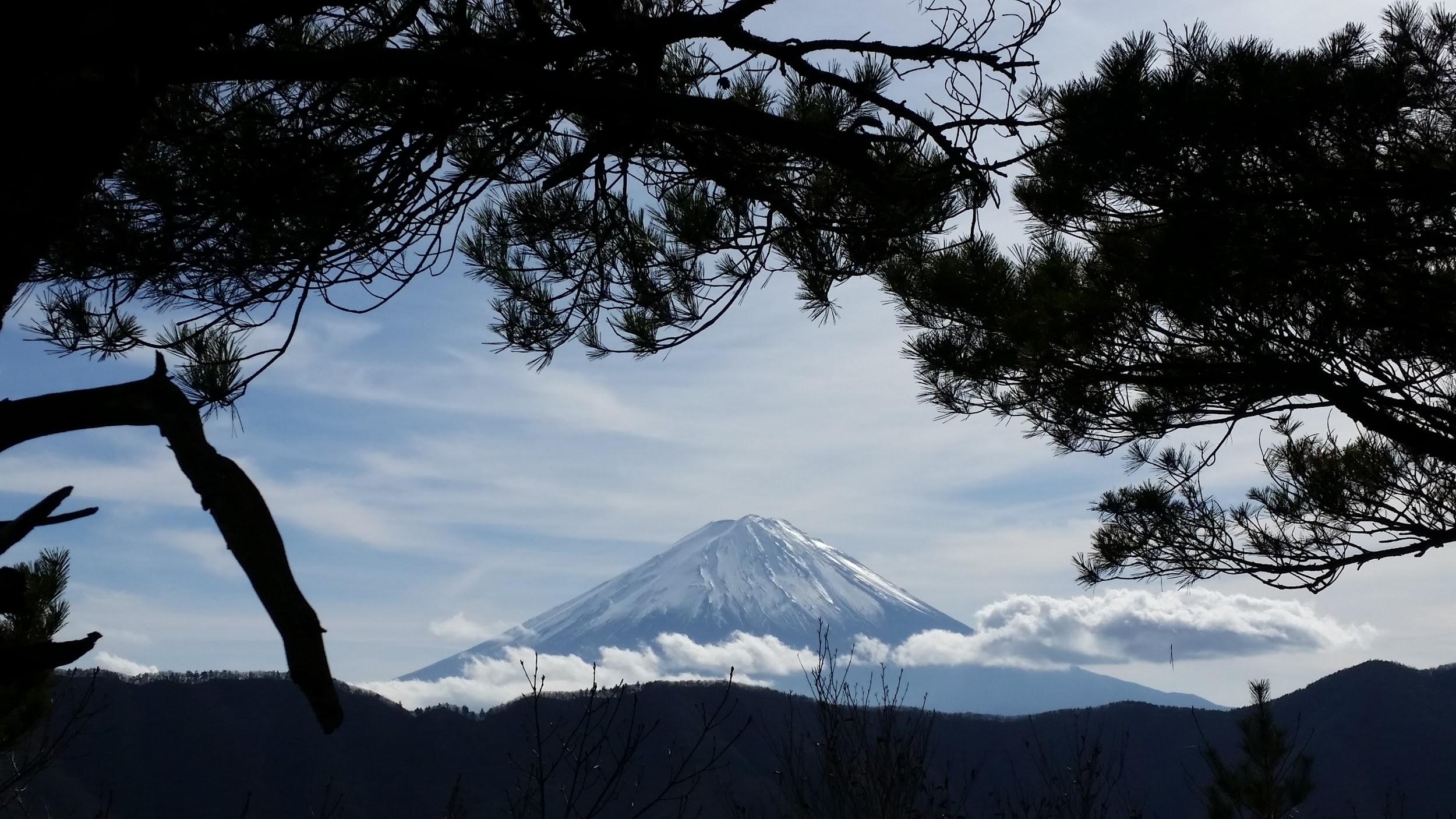
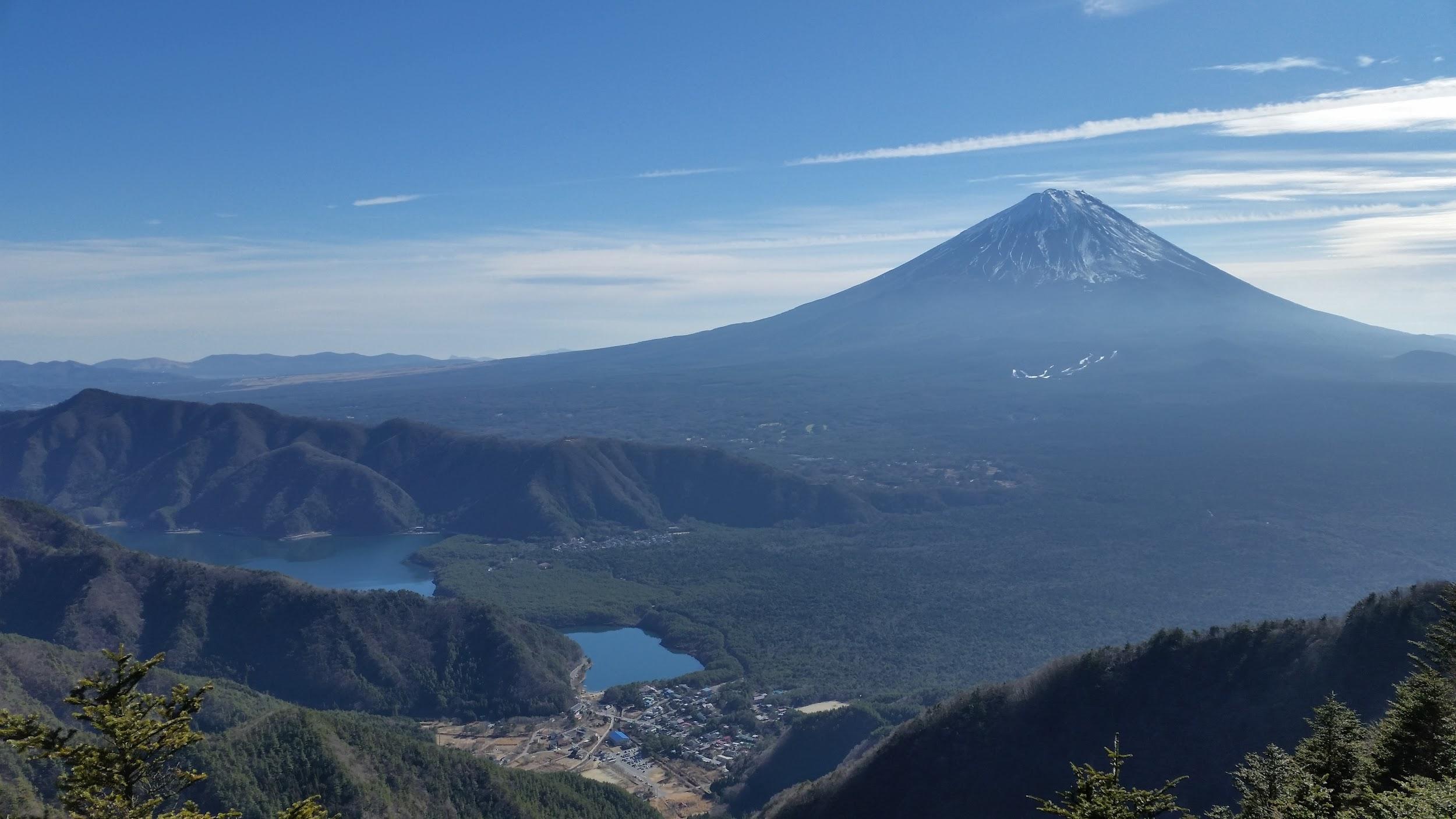
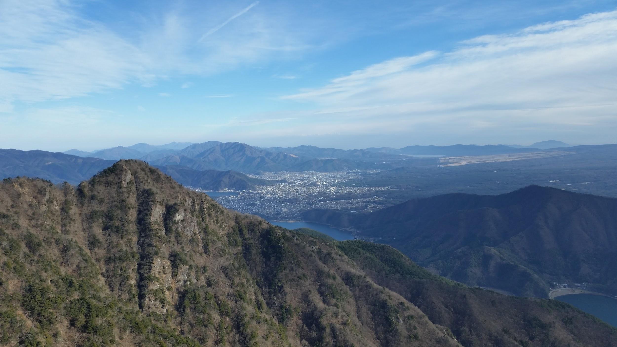
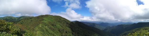
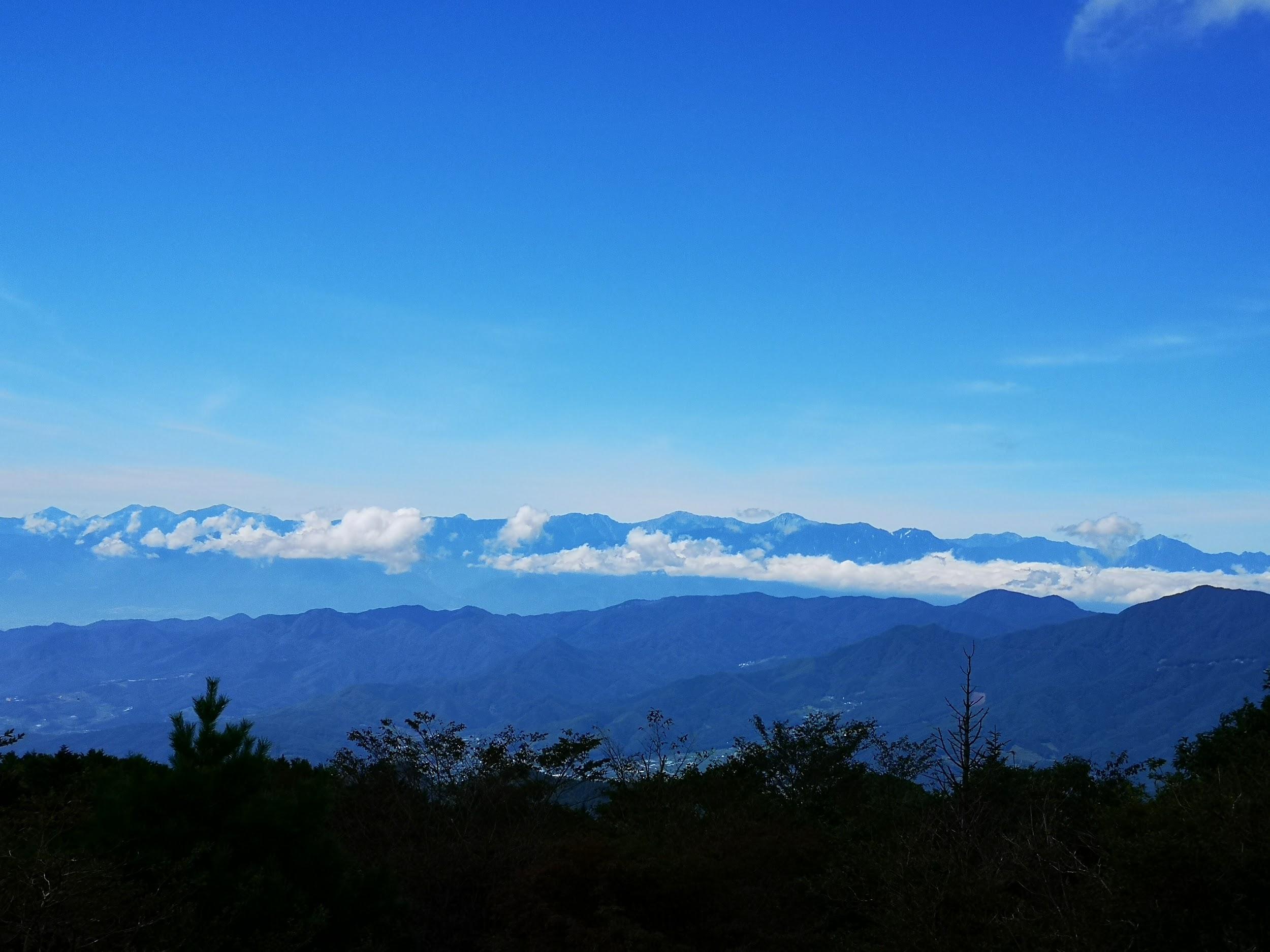
Mt Ou (1623m) & Mt Oni (1738m), Fuji-kawaguchiko City, Yamanashi Prefecture, Sunday, January 3, 2016

Amazing view of Mt Fuji and two of its five lakes

The first hike of 2016 – how could it not be with a view of Mt Fuji? If you want to get spectacular views of Japan’s most famous mountain, I‘d recommend hiking the surrounding peaks in December or January. The start of the trail near Lake Saiko, is a bus ride away from Kawaguchiko station – luckily the buses were running on schedule during Shogatsu. A short climb brought me the top of Mt Ou 王ヶ岳 (“King mountain”), from where it was a pleasant, snow-free hike along the ridgeline to Mt Oni 鬼ヶ岳 (“Demon mountain”). After admiring the wonderful views of Mt Fuji, and the South Alps on the other side, I descended through forest back down to the lake where I caught the bus back, after a relaxing onsen.

Dramatic view towards Kawaguchiko city

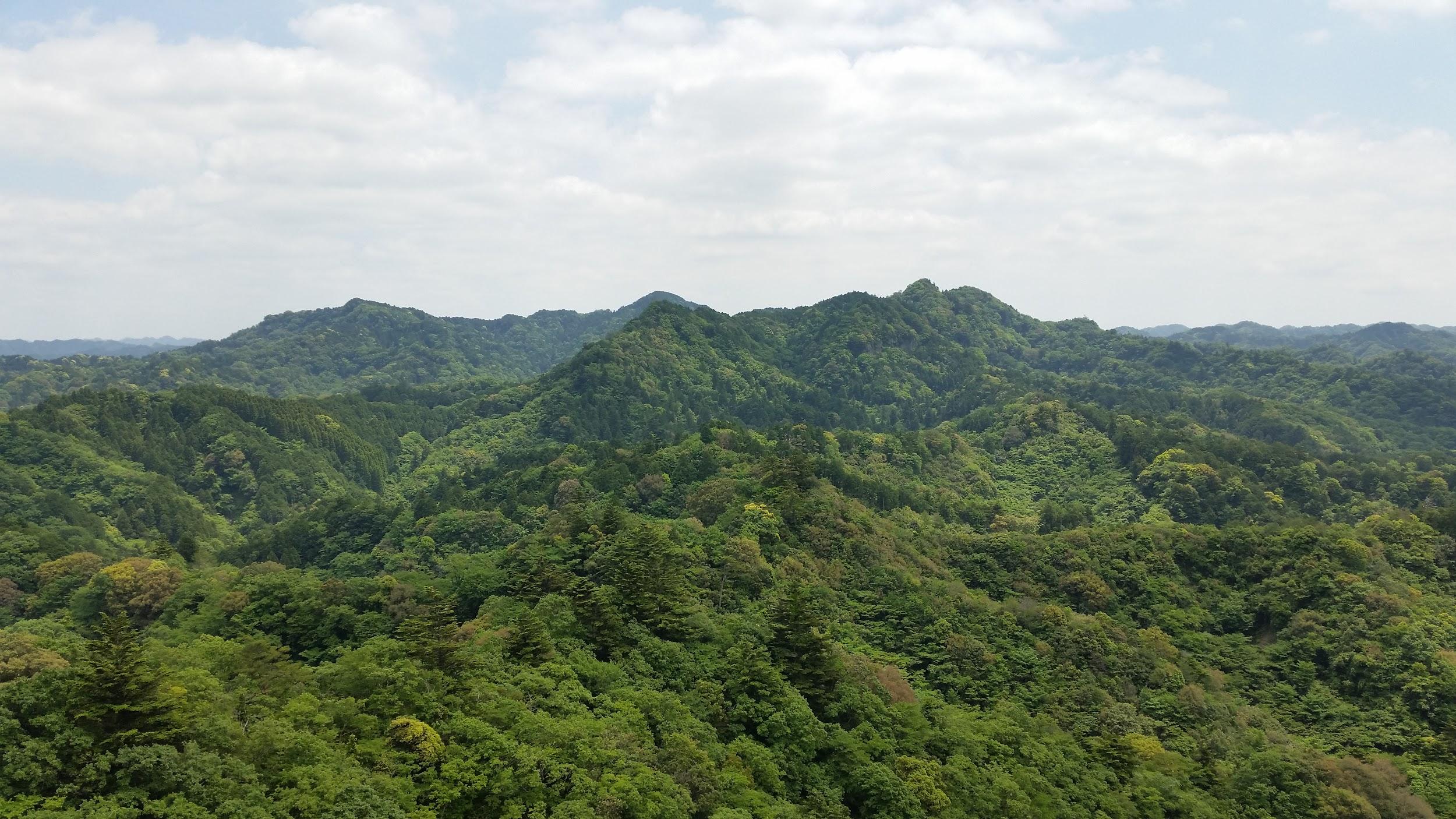
Mt Goten (364m), Mt Takatori (364m) & Mt Dainichi (333m), Minamiboso City, Chiba Prefecture, Sunday, February 21, 2016

View West towards double-peaked Mt Tomi

With the snows of February, I retreated to the Boso Peninsula in Chiba, a wonderful area  I discovered the previous year. Although the views aren’t as spectacular, I was able to enjoy some quality snow-free hiking under the warm winter sunshine. I drove from Kisarazu station to the start of the trail. After reaching the summit of Mt Goten 御殿山, I continued a little further to the top of Mt Takatori 鷹取山, and then further still to Mt Dainichi 大日山. The last two peaks had nice views Westwards towards Mt Tomi and Tokyo bay. Since I had come by car, I had to return along the same way. Afterwards, I had a little time left, so I dropped by a short hiking path near the highway, where one could see “suisen” flowers (a kind of daffodil) that bloom at this time of the year. Although it’s a popular trail, since it was late in the day, I saw only two other people, so it was a nice stroll with great views from the top of the hill overlooking Tokyo Bay.

Nice views westwards at the top of the “suisen” path

Mt Takago (330m), Kimitsu City, Chiba Prefecture, Sunday, May 15, 2016

Mt Takago is also a Kanto hundred famous mountain

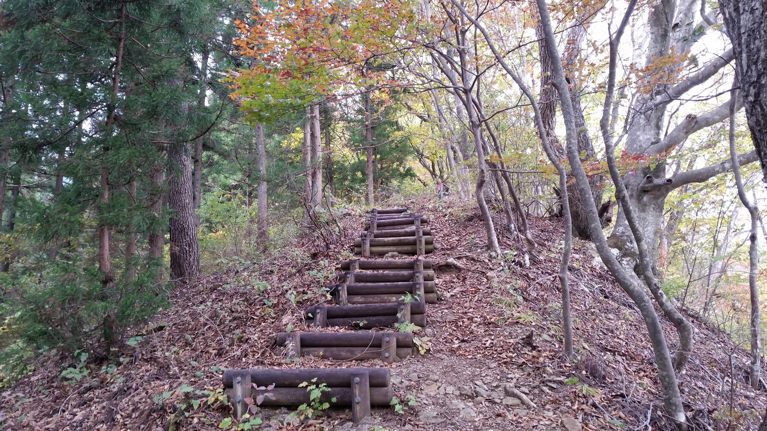
A hike on a hidden mountain in the middle of the Boso peninsula – I had trouble finding it again on the map while writing this post. This time, I took a bus from Kisarazu station, then hiked along a small road, through a hamlet with many cats, and finally reached the start of the trail: log steps heading up the side of the hill. At the top, I admired the views of Mt Kano to the North, before continuing southwards. The views of central Chiba aren’t really all that amazing, but I find the sight of green rolling hills in all directions very impressive. It was a fairly easy hike with occasional views; the rocky top of Mt Takago (高宕山 たかごやま takagoyama), a Kanto 100 famous mountain, is the highest point in the area, with a sea of trees spreading in nearly every direction. At one point, hungry for more views, I extended the hike by doing a short there and back along a lonely ridge. After returning to the main trail, I made my way down, running and walking since it was getting late, and ended up at a bus stop in the middle of the countryside not far from Lake Mishima, after a very satisfying seven-hour hike.

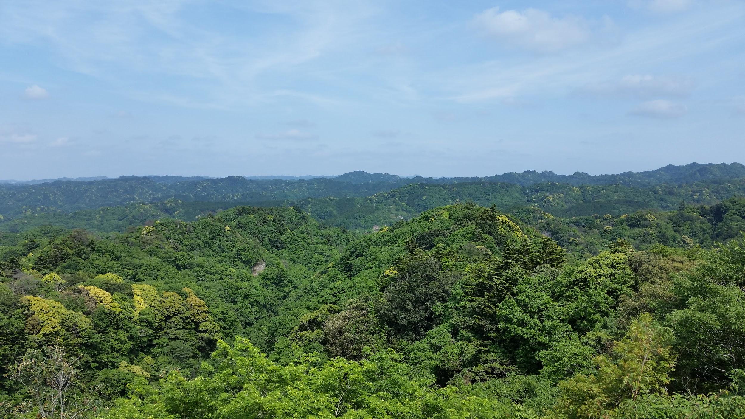
The Southern part of Chiba is a very very green place

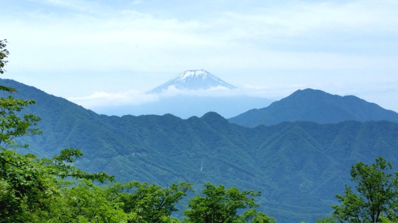
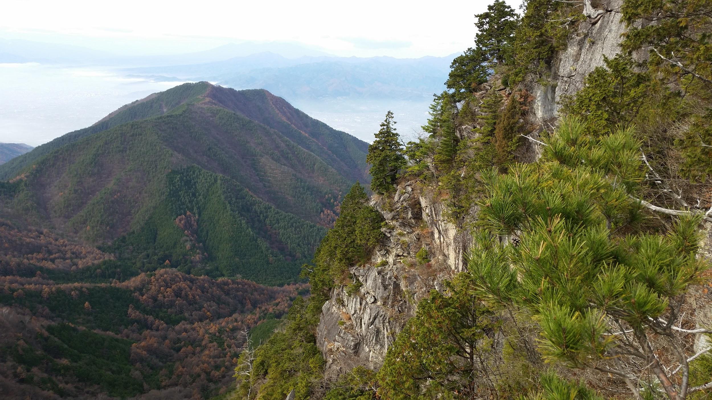
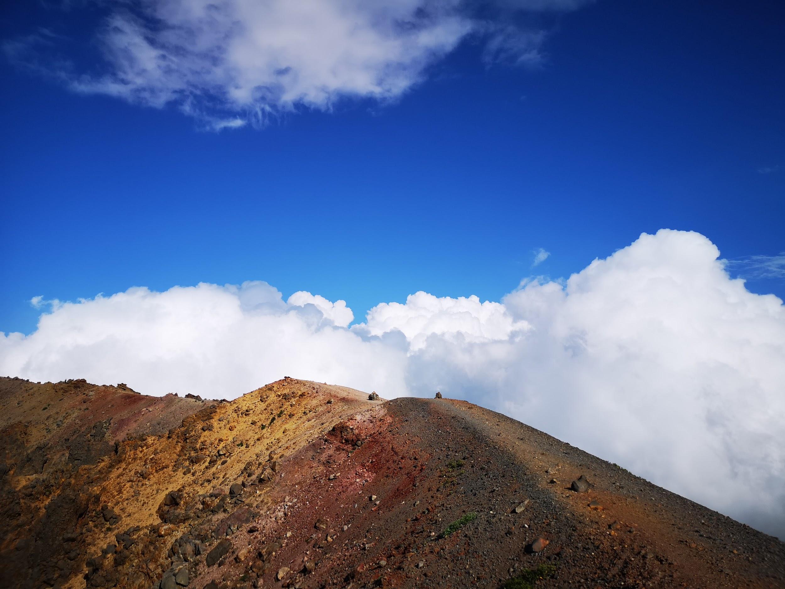
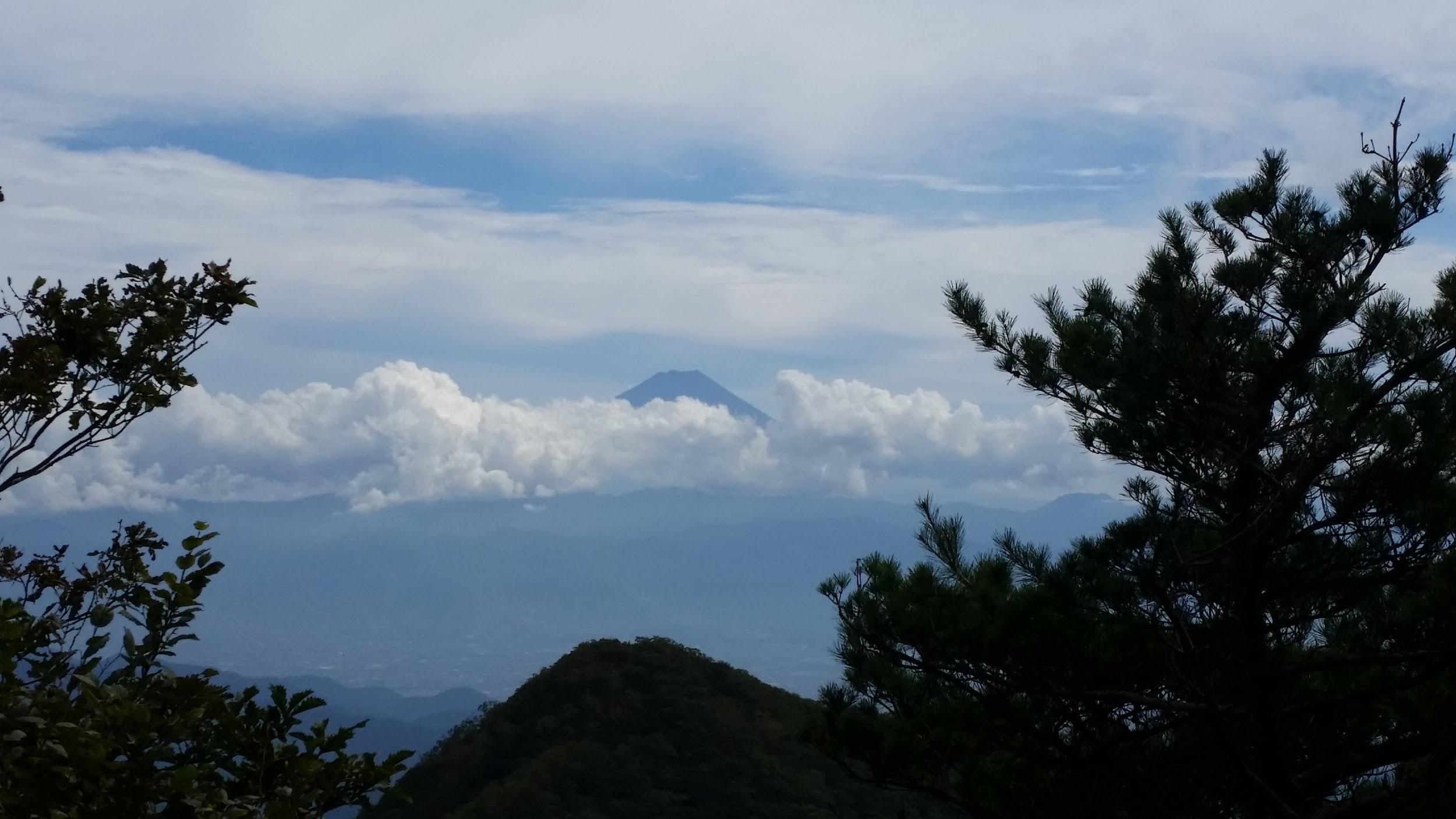
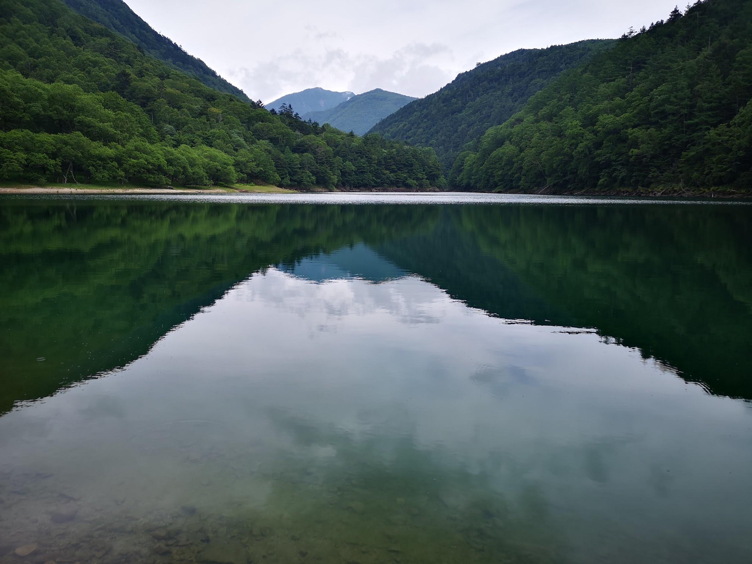
Mt Mikuni (1328m), Kanagawa, Yamanashi & Shizuoka Prefectures, Sunday, May 29, 2016

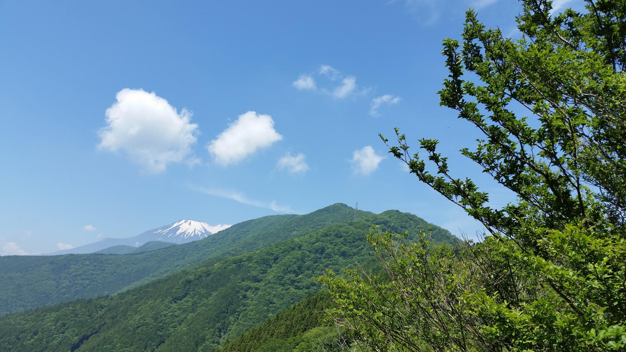
Mt Fuji and Mt Mikuni

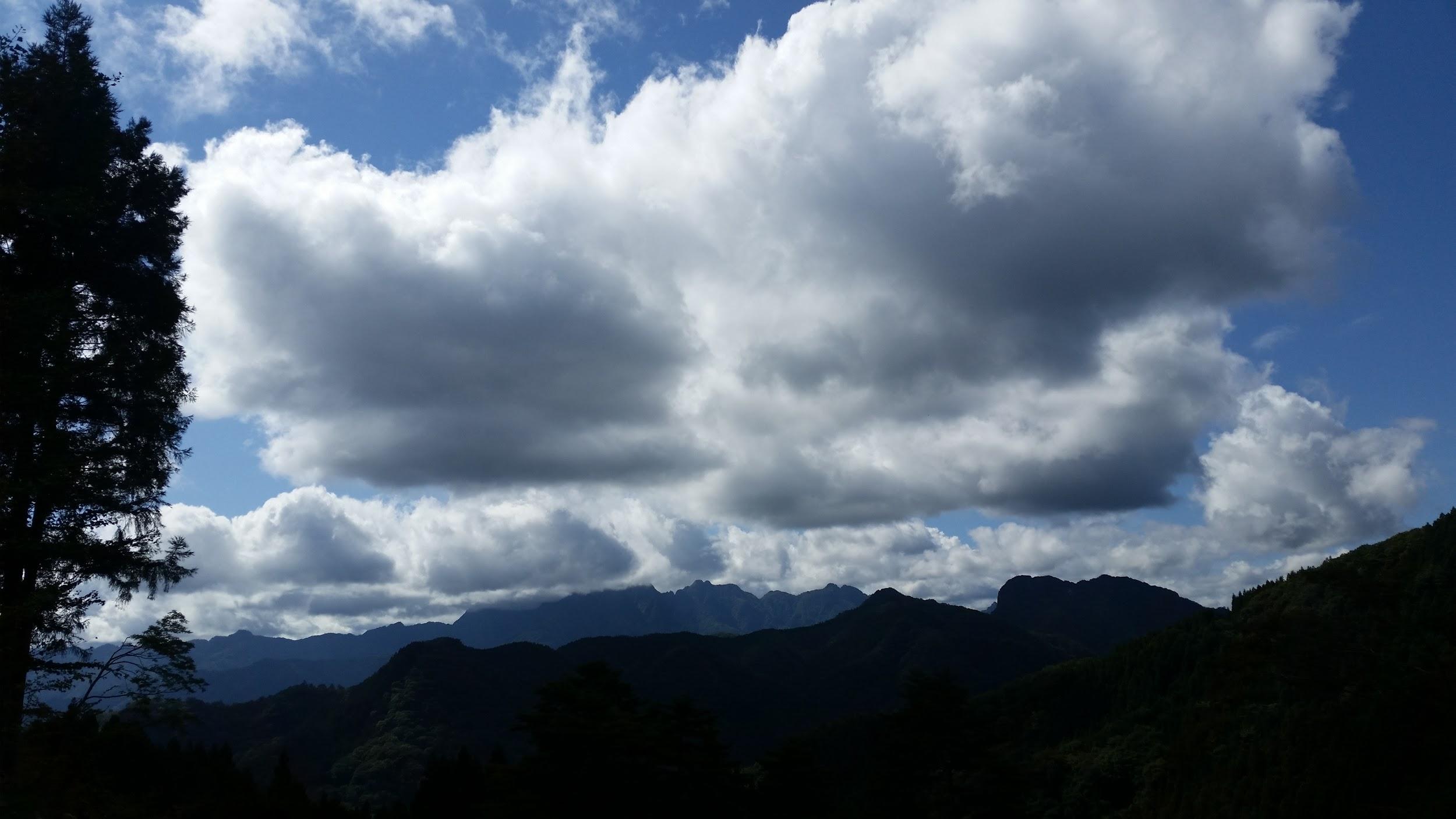
A great hike that follows two prefectural borders, first between Shizuoka and Kanagawa, then between Shizuoka and Yamanashi, Mt Mikuni 三国山 (“Three Country mountain”) being at the convergence of all three. A seasonal hiking bus running from Suruga-Oyama station took me up to Myojin pass (900m), from where I first hiked East along the ridge in to the top of Mt Yubune 湯舟山 (1041m). It was a cloudless and hot May day, but fortunately I was mostly under the shade of trees. I then retraced my steps to the pass, and continued Westwards to Mt Mikuni. After a bit of road walking and a short steep climb, I reached the peaceful flat summit, surrounded by cool green forest. After that, it was a nice ramble along a descending ridge with occasional views of Mt Fuji, mostly covered in cloud except for its snow-covered summit. I passed the minor peaks of Mt Naraki 楢木山 (1353m), Mt Obora 大洞山 (1383m) and Mt Hatao 畑尾山 (1365m). I finally reached a section I had hiked a few years ago in December, but had to abort because of a freak snowstorm. There seemed to be a serious war game taking place opposite on the lower flanks of Mt Fuji: I could hear explosions the entire afternoon (the foothills of Mt Fuji is a training place for the self-defence forces). I ended up at a very nice hot spring near the bus stop for Gotemba station.

Mt Fuji straight ahead!

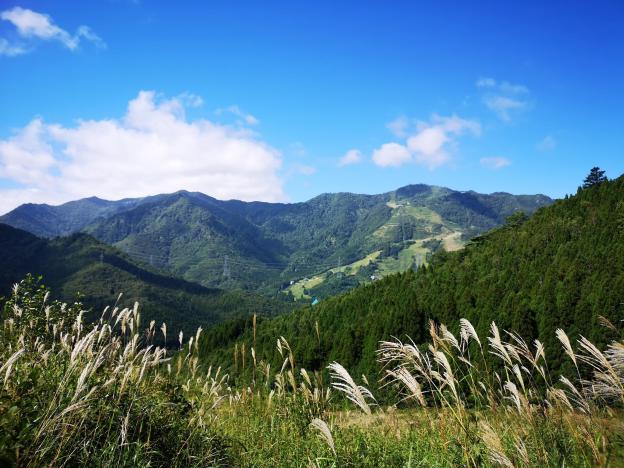
Mt Imakura (1470m) & Mt Nijurokuya (1297m), Tsuru City, Yamanashi Prefecture, Saturday, June 11, 2016

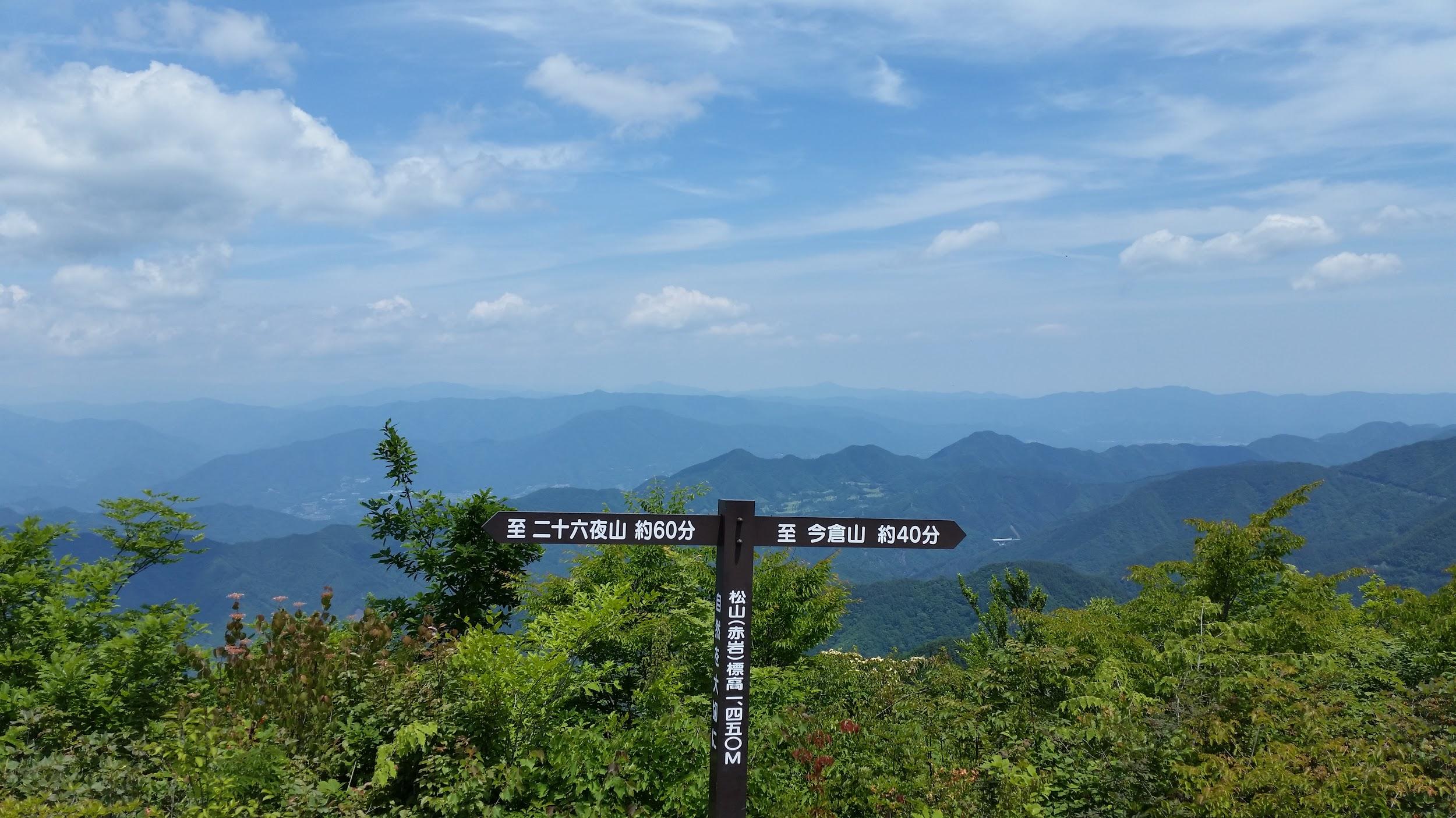
Viewpoint at Akaiwa (“red rock”)

This was another very good hike in the Fuji area. Although the rainy season had already started, the weather stayed good all day. I took a bus from Tsurushi station all the way to the Michizaka Zuido Iriguchi bus stop. From there, it was a steep climb to the top of Mt Imakura 今倉山, completely surrounded by trees, although I had some glimpses of Mt Fuji through the trees on the way up. I headed west along the ridgeline, descending steeply at first. There were some great views of Mt Fuji and the surrounding mountains from Akaiwa 赤岩 and Mt Nijurokuya 二十六や山. After that last peak, the path turned Northwards, and I headed downhill first through forest, then some pleasant countryside, finally arriving at a nice hot spring near a bus stop. I returned the following year to hike the Eastern ridge from the top of Mt Imakura.

A good hike for “fuji spotting” – Mt Shakushi is on the right

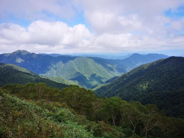
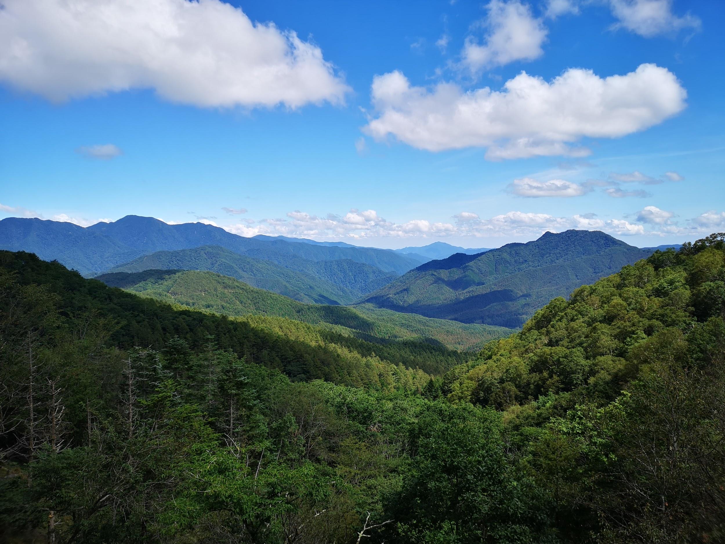
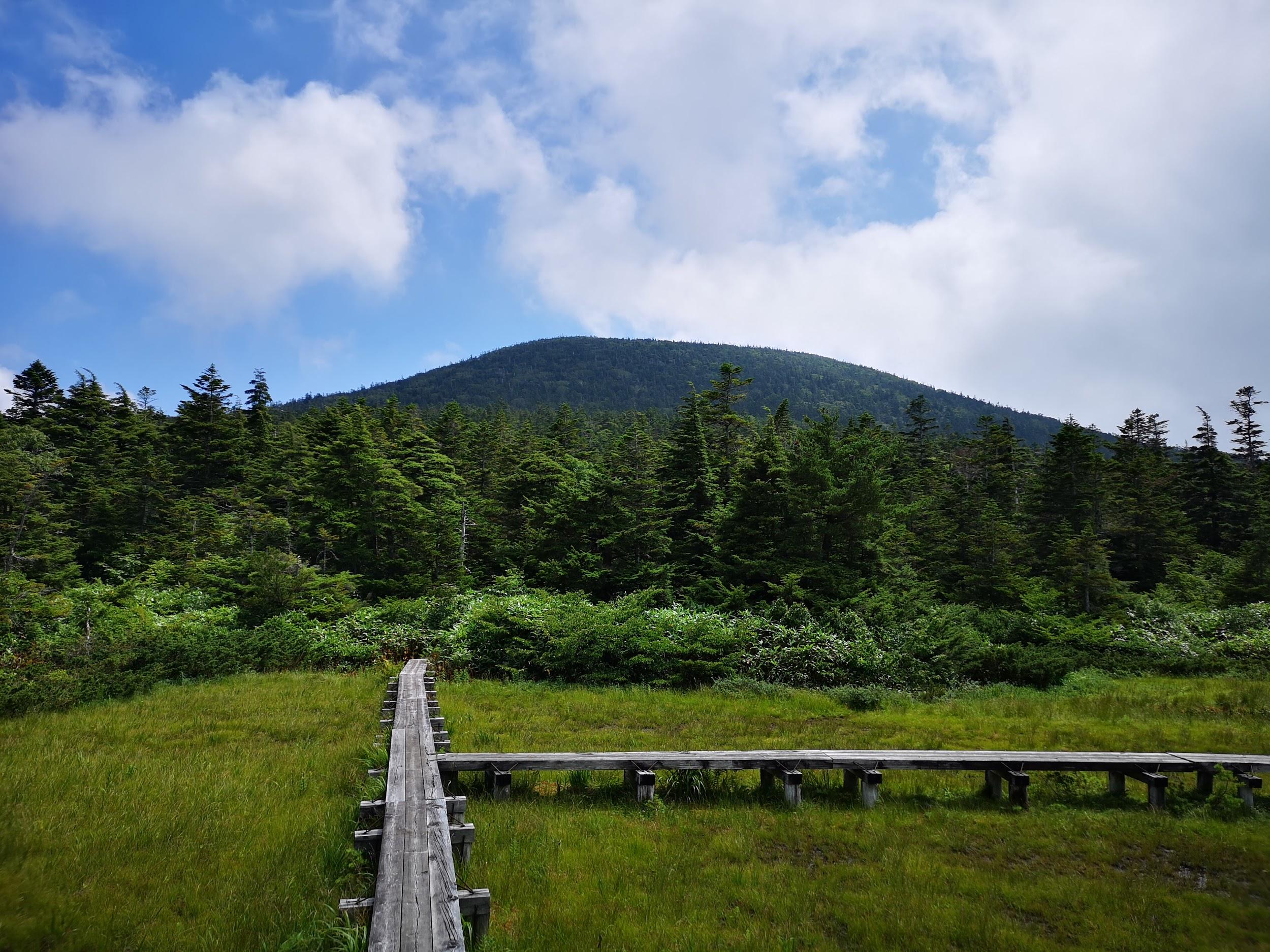
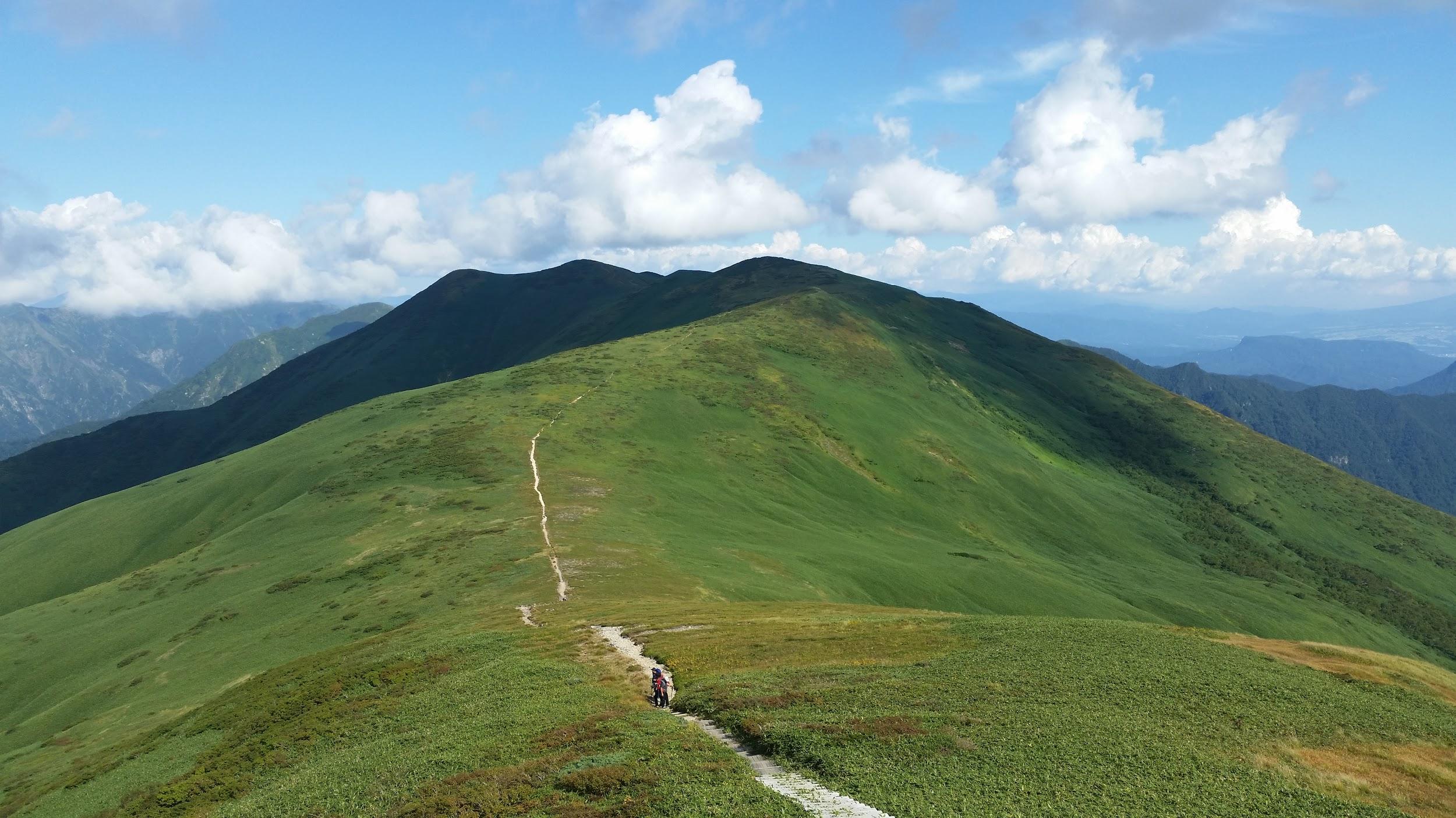
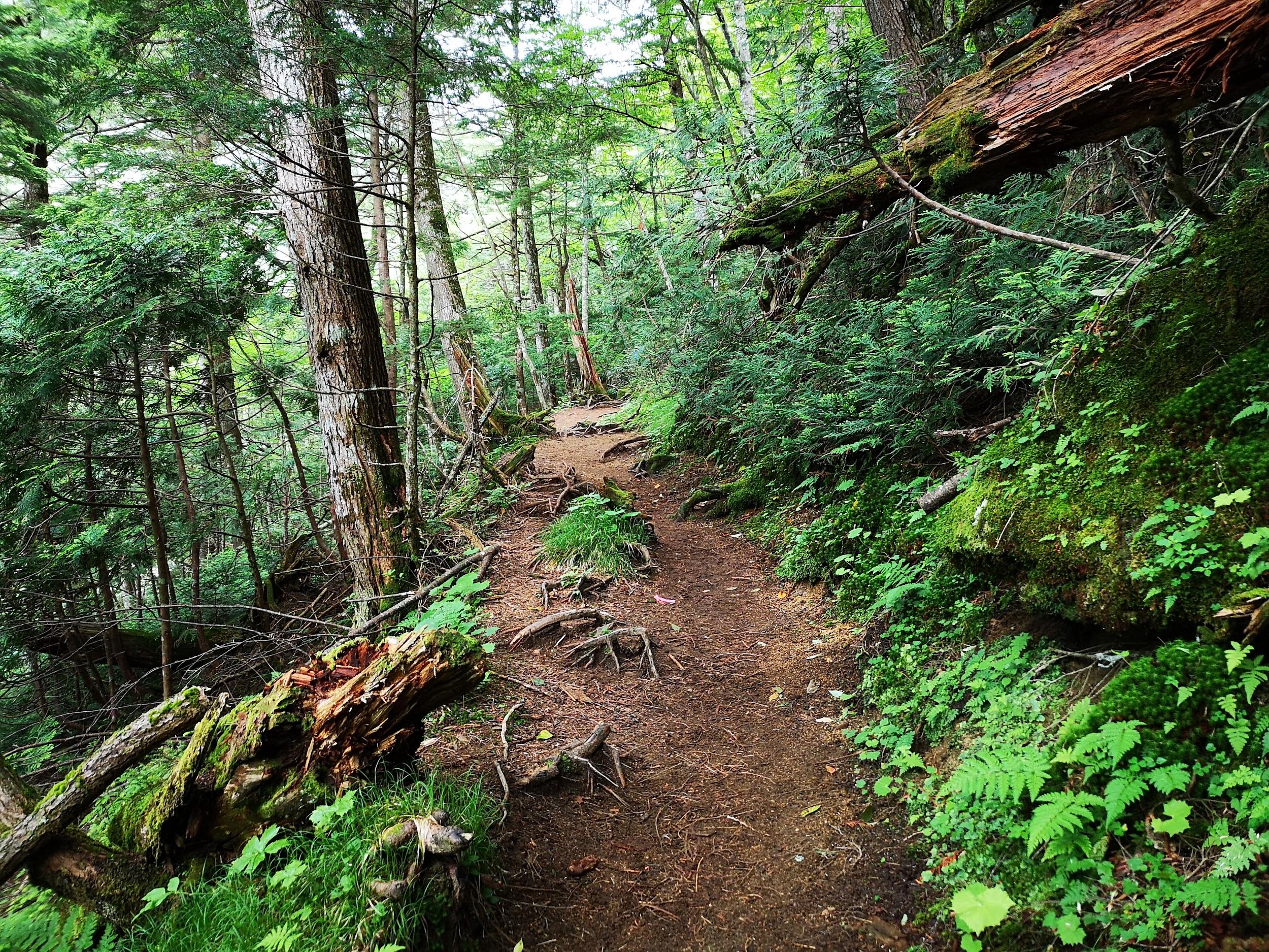
Mt Keikan (2177m), Koshu City, Yamanashi Prefecture, Saturday, June 18, 2016

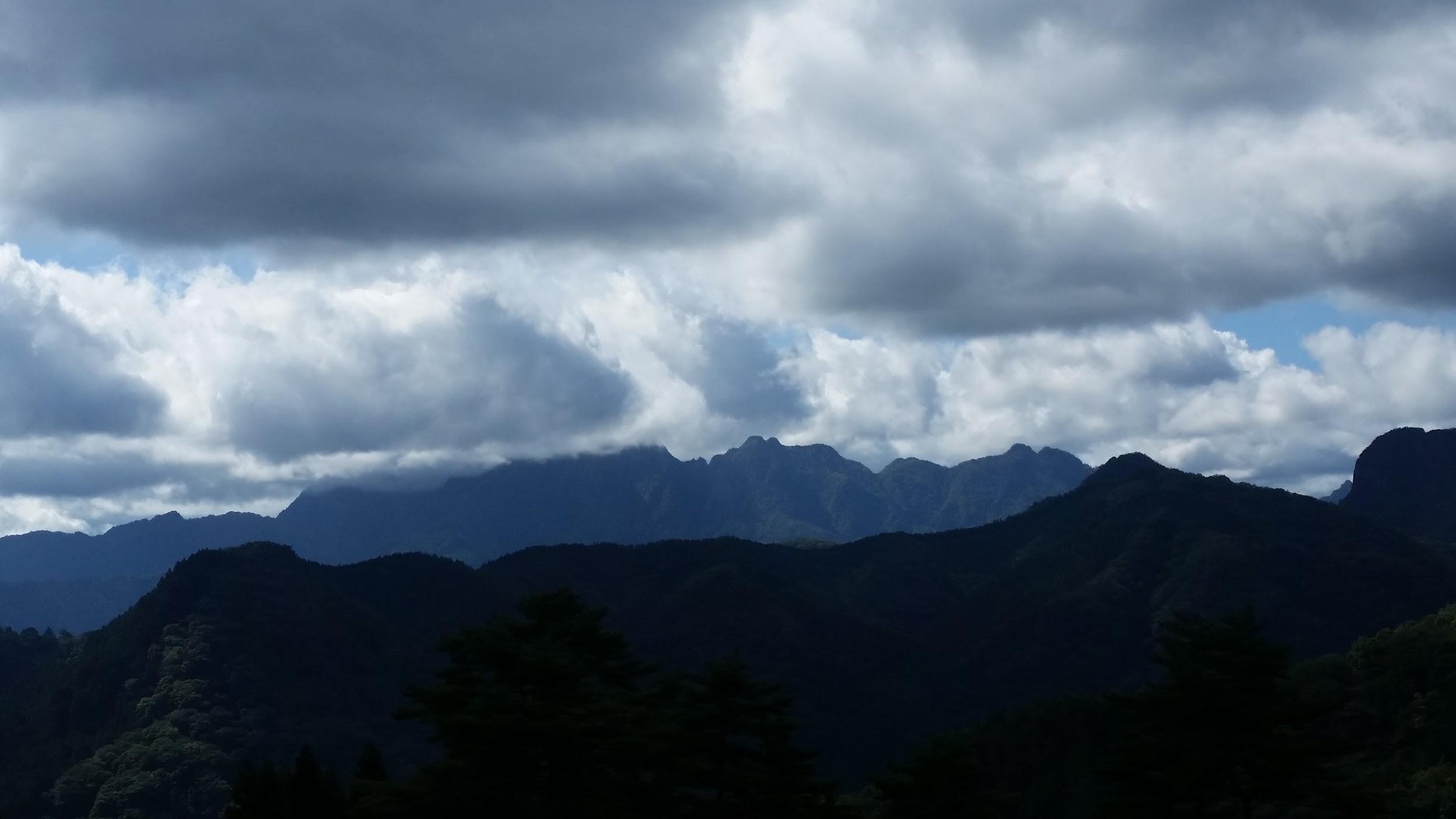
The highest point of Daibosatsu Rei seen from Mt Keikan

It was getting hot in Tokyo so I took a bus from Enzan station all the way up to Yanagisawa Pass at nearly 1500m. From there it was a short walk through beautiful forest to a viewpoint of the mountains of the Chichi-Tama-Kai National Park. A little beyond is Roppongi Pass, from where it was a short and pleasant up-and-down hike through the forest to the top of Mt Keikan 鶏冠山 and its small summit shrine. It’s an odd mountain since it’s not a prominent peak in the area, so it feels like standing on a ledge from where one looks straight ahead at the views rather than down. After a short break, I made my way back to Roppongi pass, following a different trail for part of the way, and then hiked through more beautiful forest all the way to the Marukawa hut, at the base of Daibosatsu Rei. It looked like a nice place to spend the night but since I was planning to return to Tokyo the same day, I quickly made my way down the mountain, to a hot spring and a bus stop.

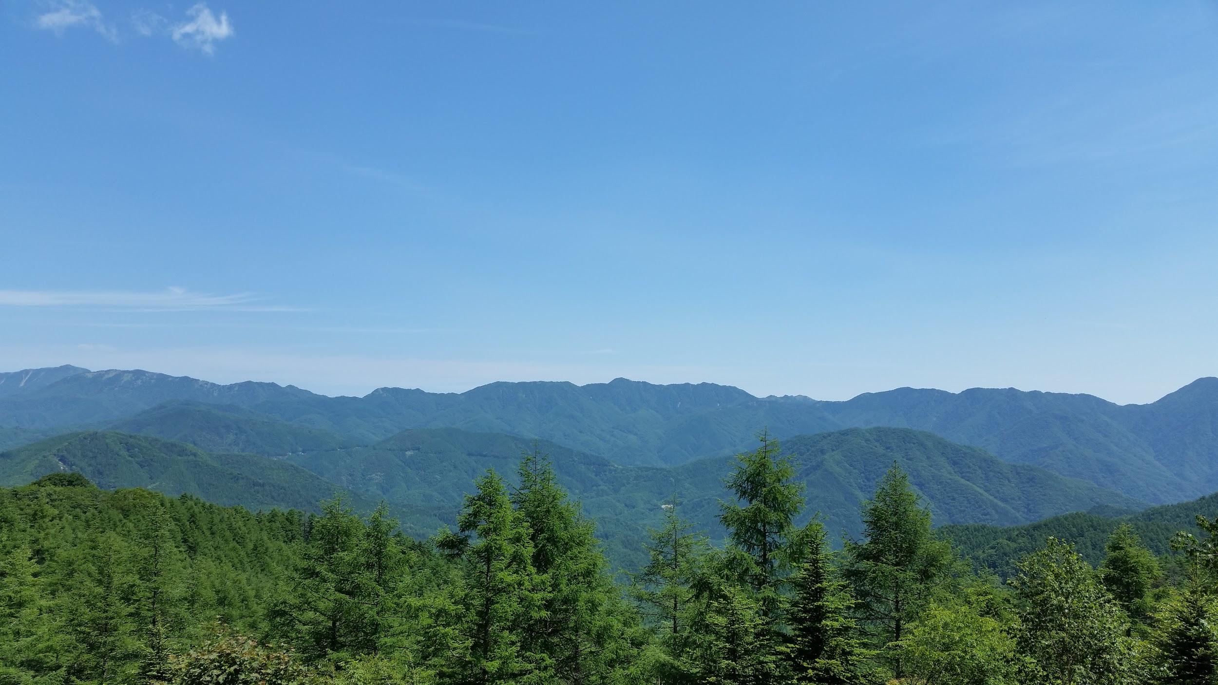
The Oku-Chichibu mountain area – a great place for hiking

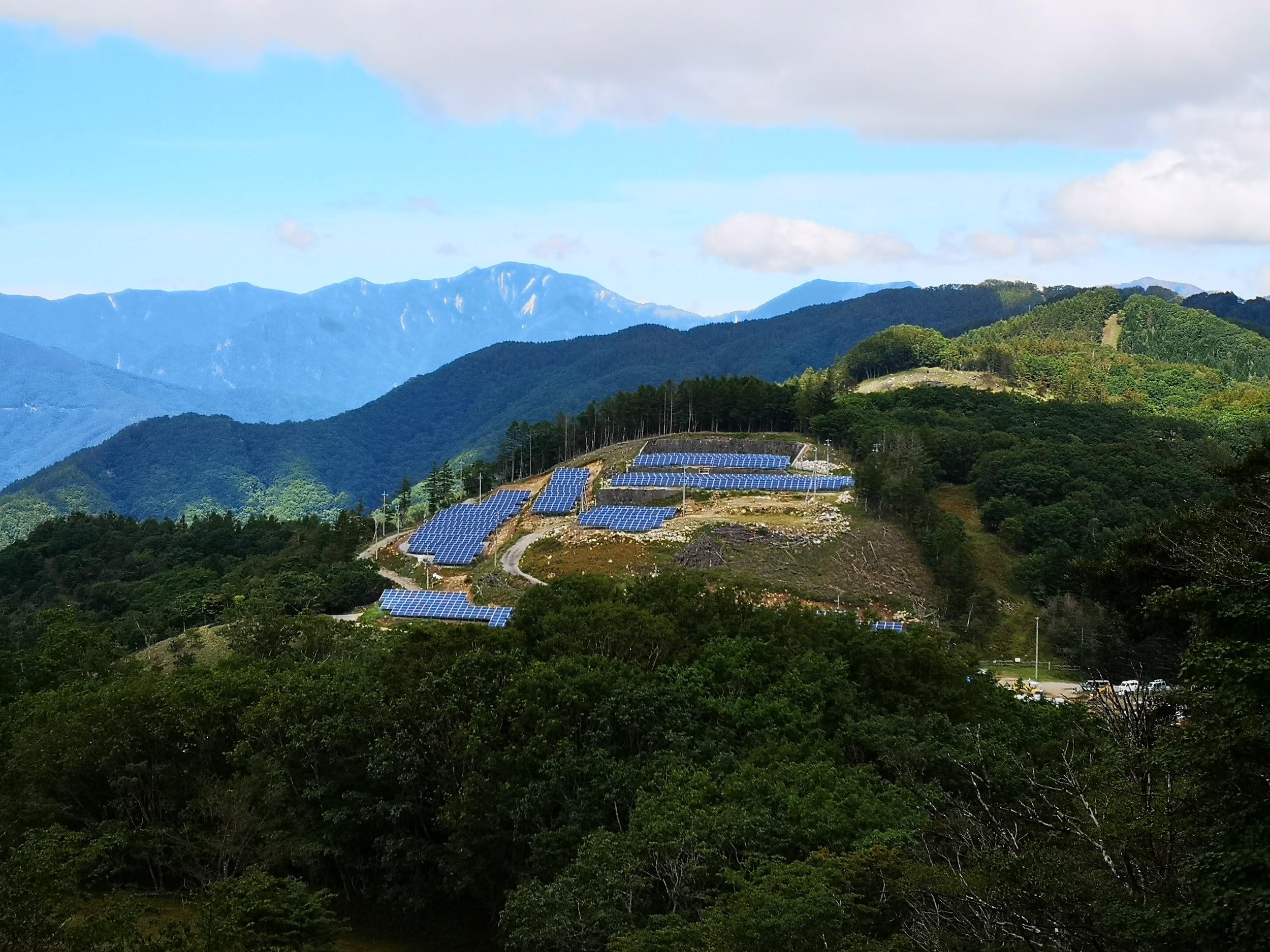
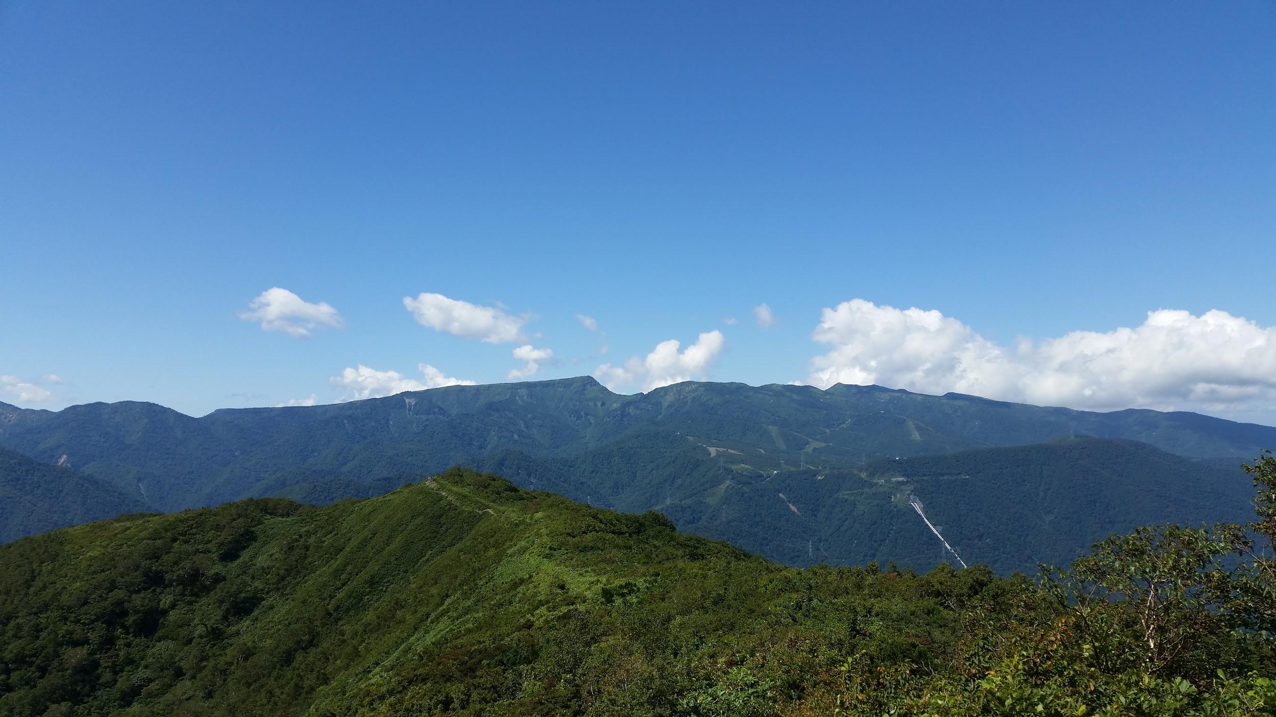
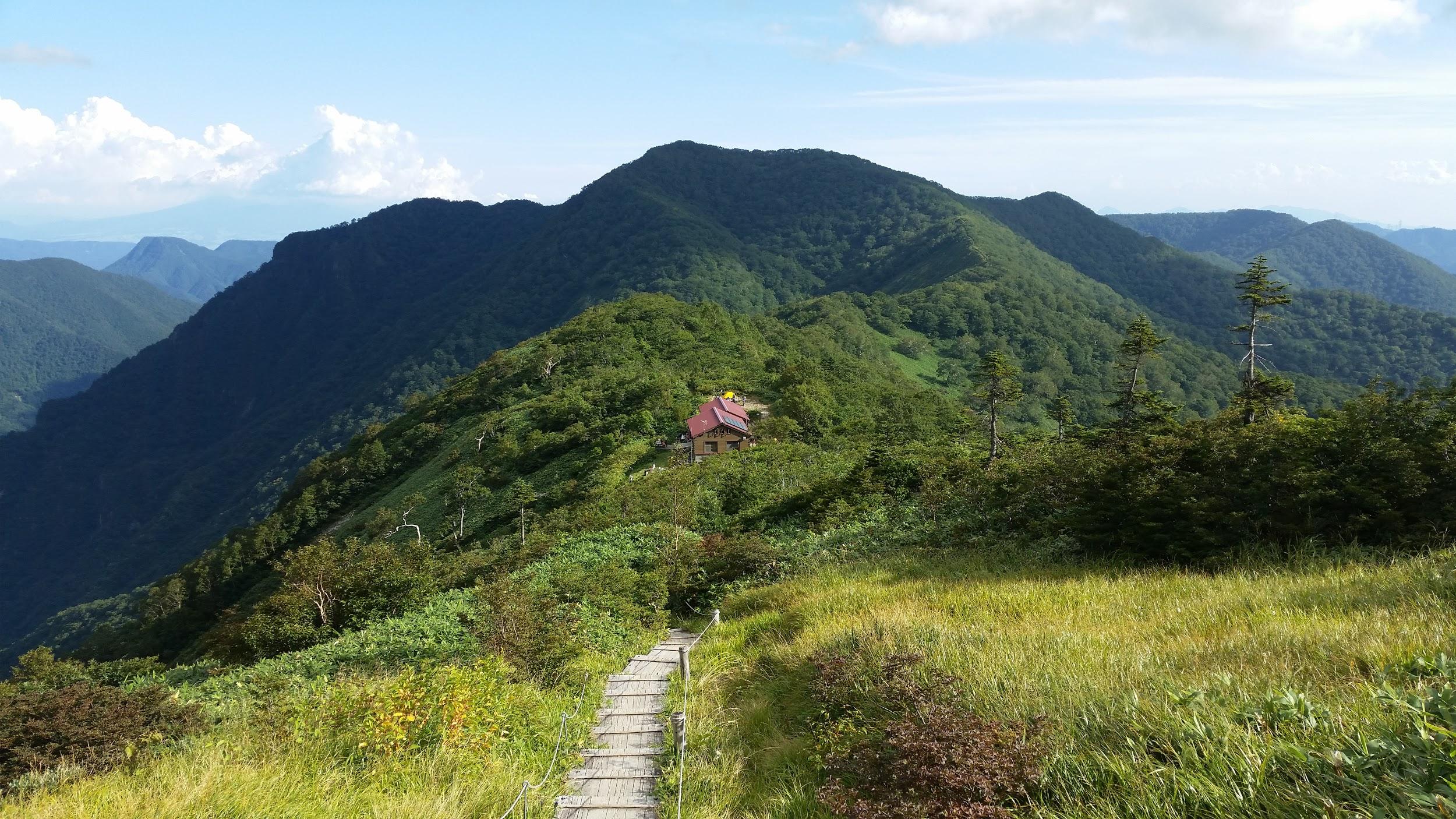
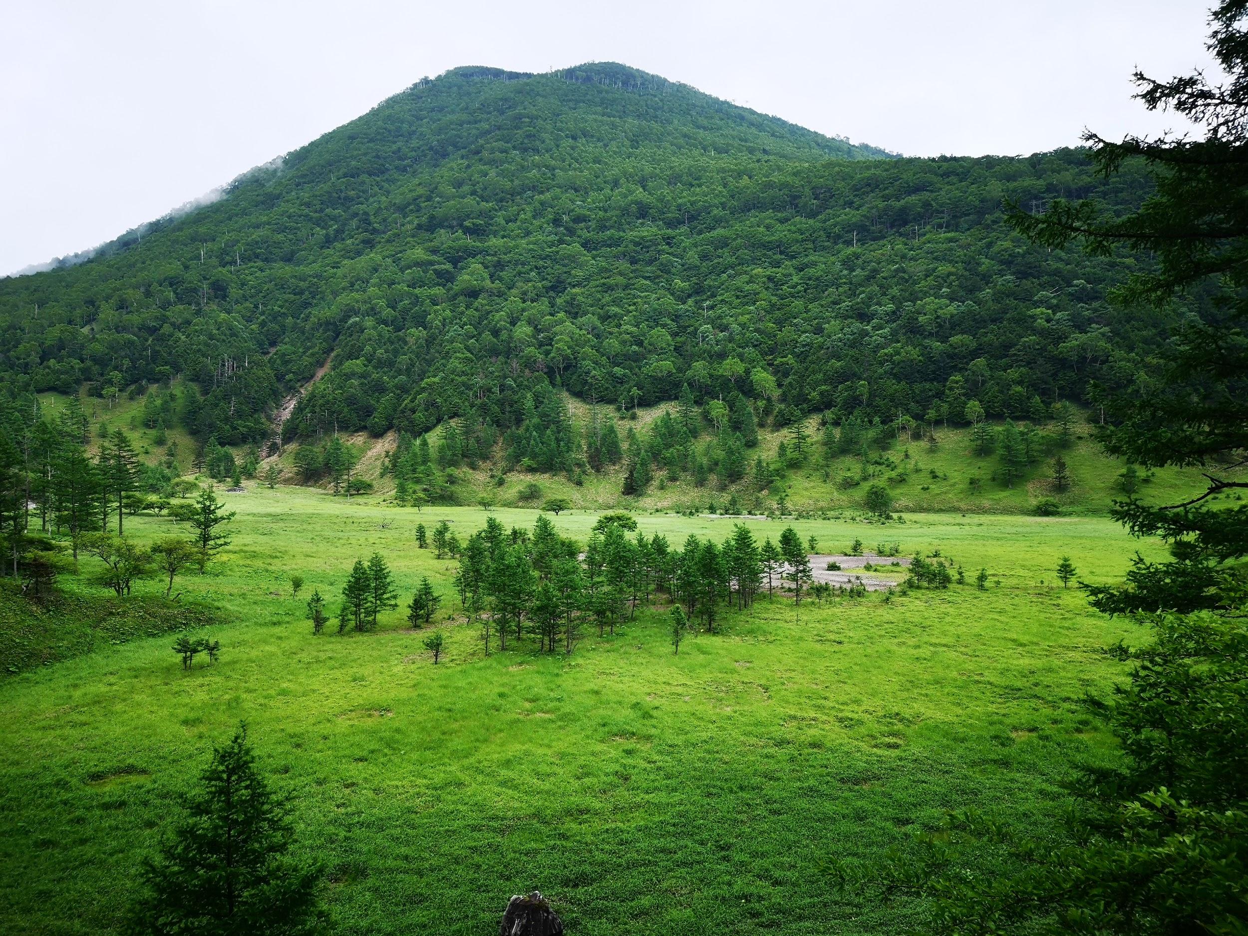
Mt Mikabo (1287m), Fujioka City, Gunma Prefecture, Sunday, October 30, 2016

A glimpse back towards Mt Mikabo (left) on the way down

I had been wanting to explore the Kanna River valley for a while. In the end, access was easier than I had thought: the small community bus that picked me up at Shinmachi station was nearly empty, and so the ninety-minute ride to the start of the trail was fairly comfortable. I set off in fairly high spirits despite the overcast weather. Unfortunately I missed a turn, and ended up losing an hour walking back and forth along a forest trying to find the trail back – I truly thought that I would have to turn back and give up on the summit. Eventually I reached the Eastern peak of Mt Mikabo 御荷鉾山. After going down a bit and back up again, I got to the Western peak, the highest point of the hike. It was mostly free of trees and the view would have been fantastic if not for the gloomy, cloudy weather. I think I saw only two other hikers the whole day. After a short break (I was hour behind schedule), I hurriedly made my way down to the road and bus stop.

Few views on this hike mainly due to the cloudy weather

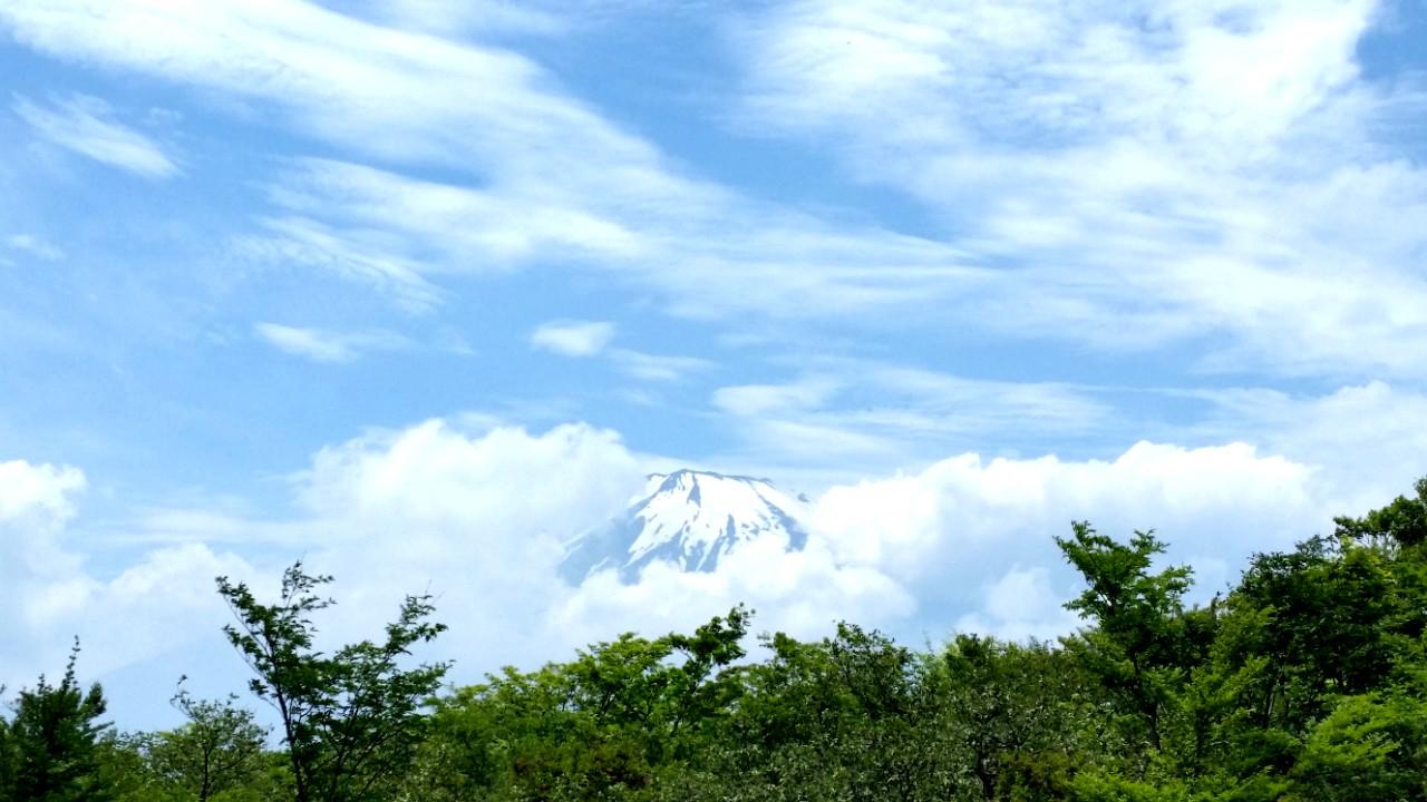
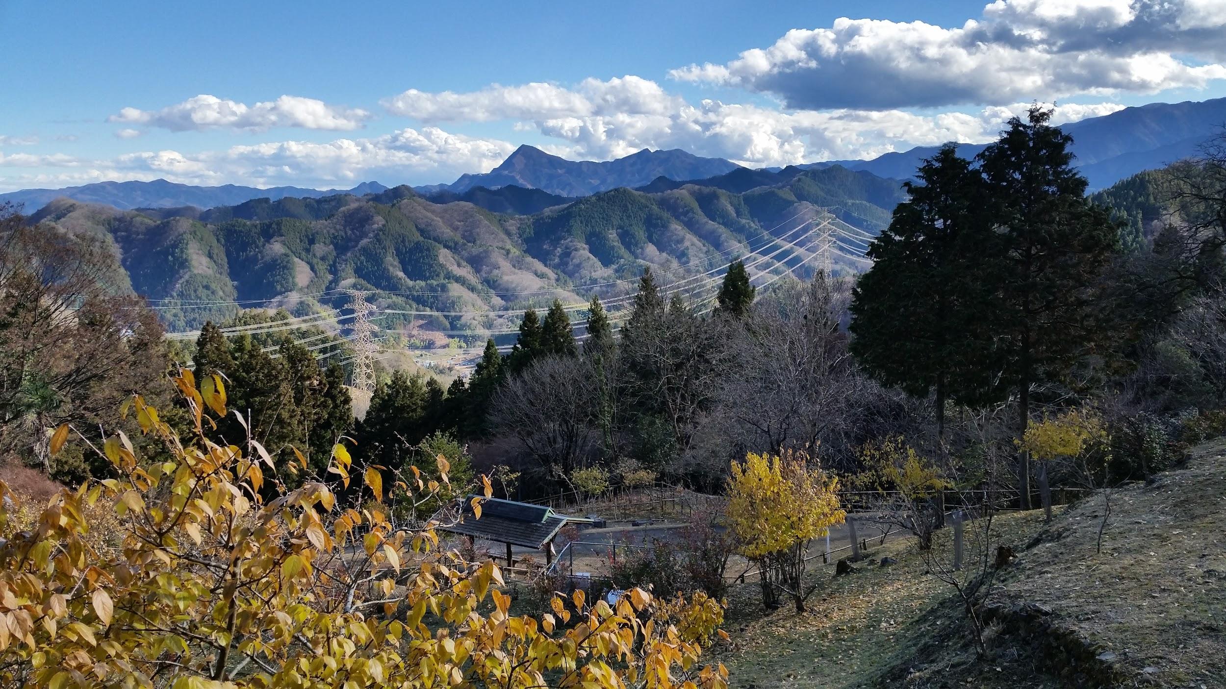
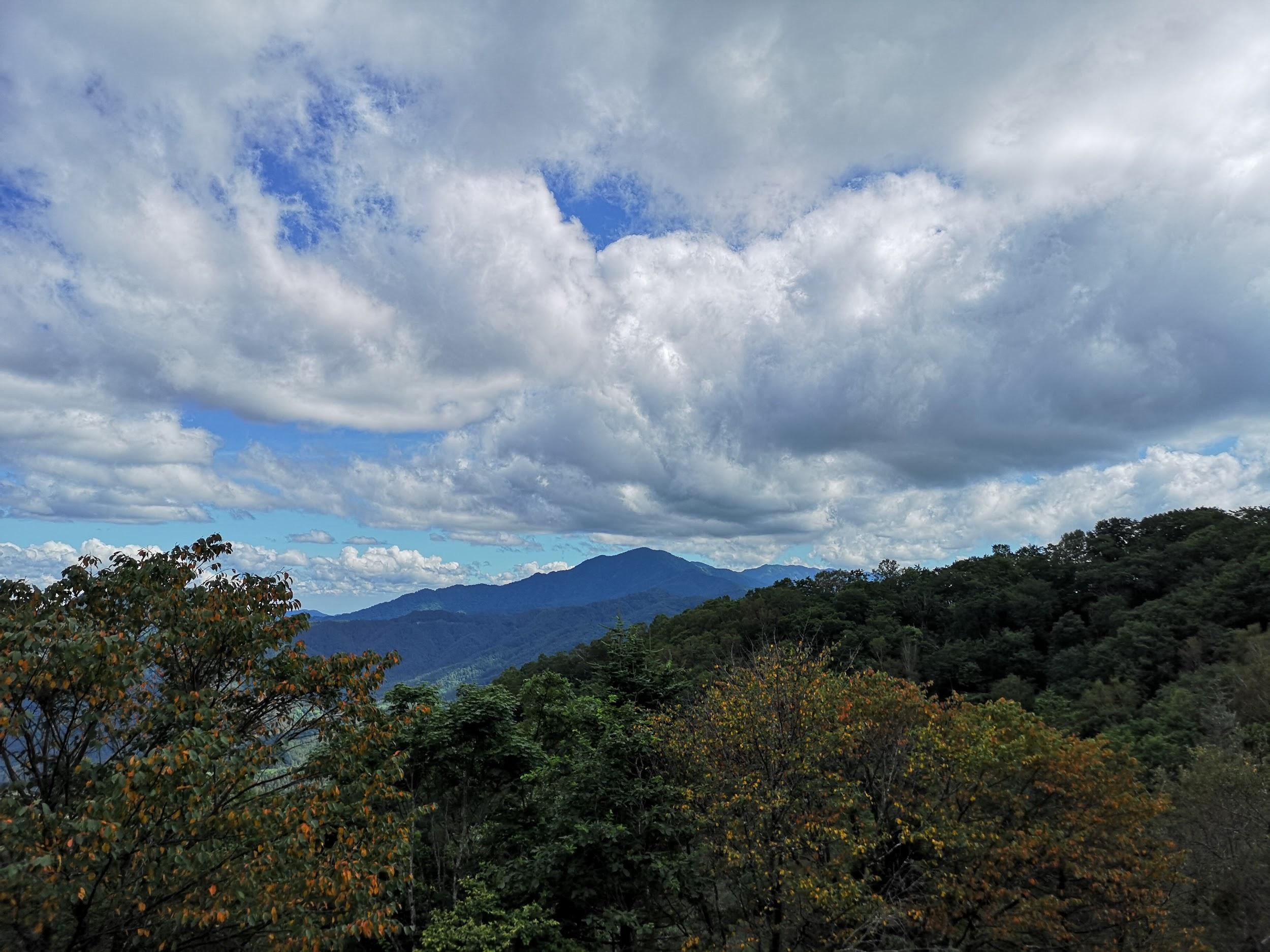
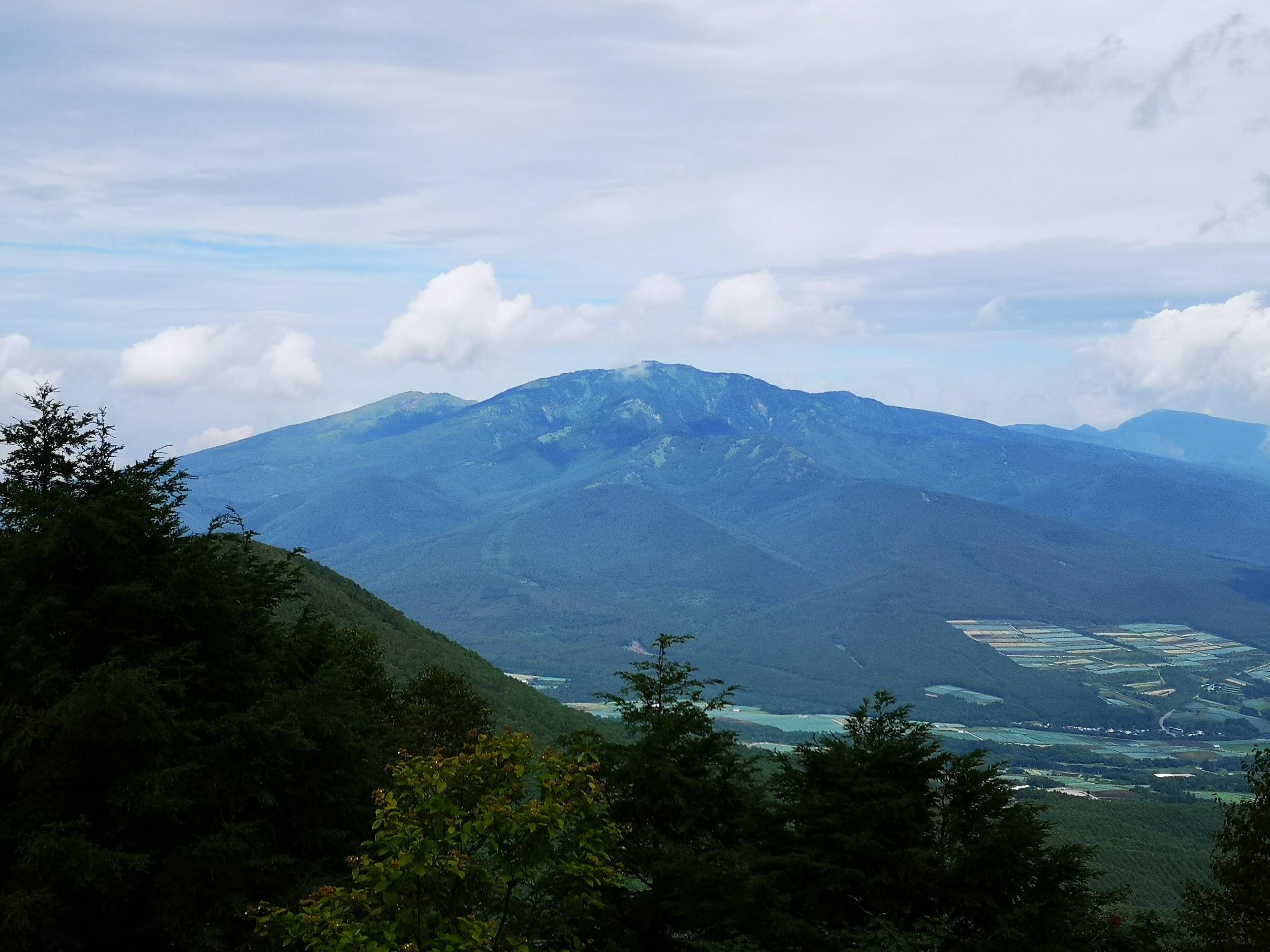
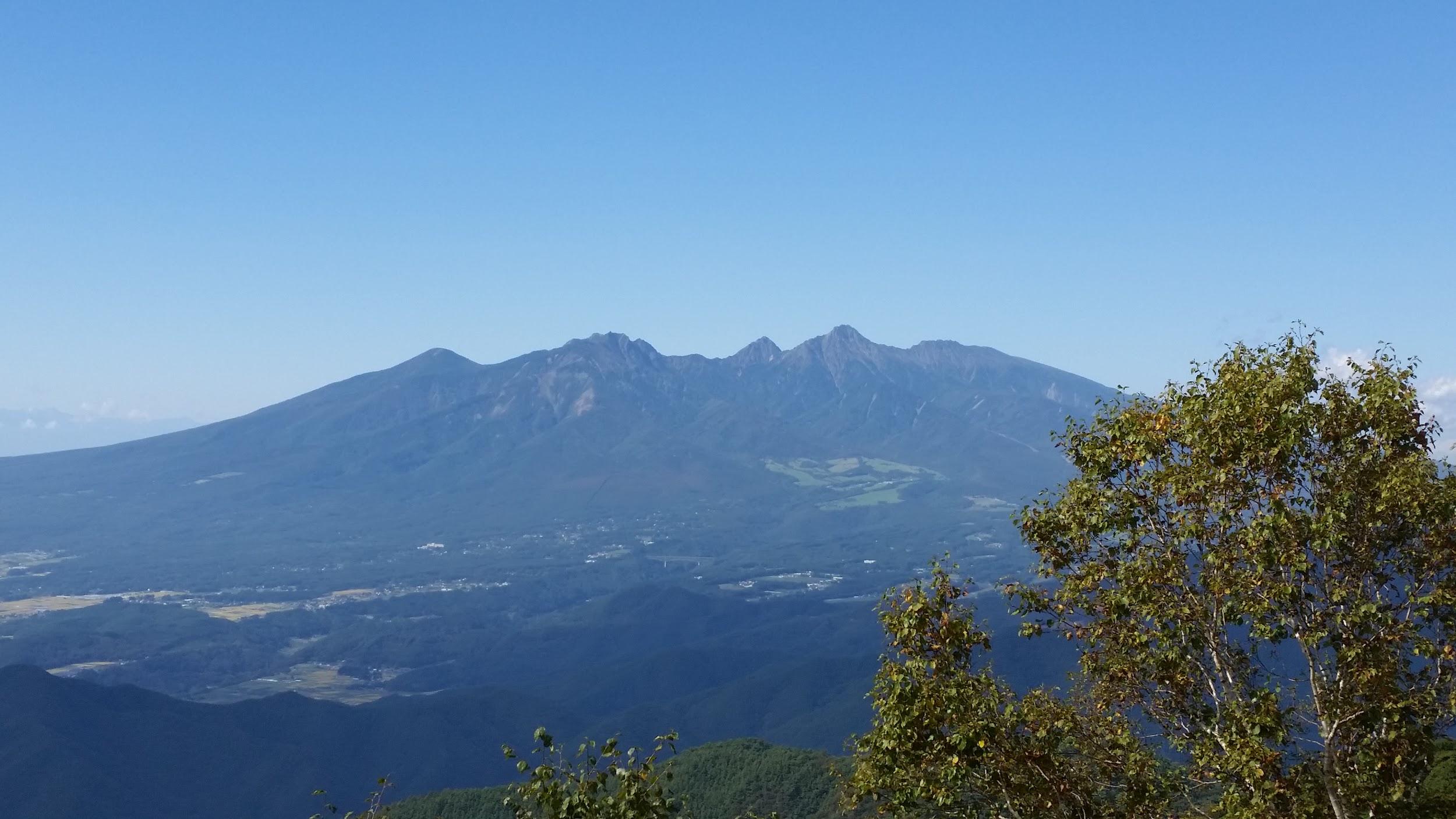
Mt Shaka (1641m), Fuefuki City, Yamanashi Prefecture, Sunday, November 20, 2016

Things get steep near the higher parts of Mt Shaka

Amazingly, the weather was still warm enough in the second half of November for a comfortable hike above 1500m. I took a bus from Isawa-onsen – again I was one of the only passengers – and got off at Torimisaka pass (1100m). This is another hike in the vicinity of Mt Fuji, and I was able to get many good views of its snow-covered summit, as well as many other mountains of Yamanashi. It was mostly a solitary hike, under a grey autumn sky – Kofu valley below was partially hidden by a layer of fog. I thought Mt Shaka 釈迦ヶ岳 was quite an interesting mountain and deserved to be better-known. The rocky climb up was surprisingly steep and dramatic (it reminded me of my hike up Mt Suwa), and I was rewarded with 360 degree views from the summit. After a short break, I continued along the ridge to Mt Fukoma 府駒山 (1562m) before descending through the forest into the valley. From there it was an easy walk along a paved road to the bus stop near the Ashikawa Farmer’s market.

The Fujikyu bus from Isawa Onsen to Ogossoya (the Ashigawa farmer’s market) was discontinued in 2024. Access is now via car, or by bus from Kawaguchiko Station. However, since 2024, a free shuttle bus runs on weekends between Ogossoya and Suzuran.

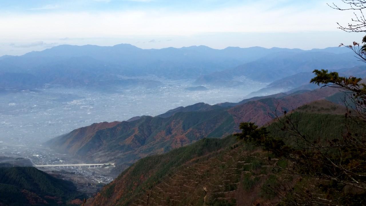
Autumn mist covering the lower elevations

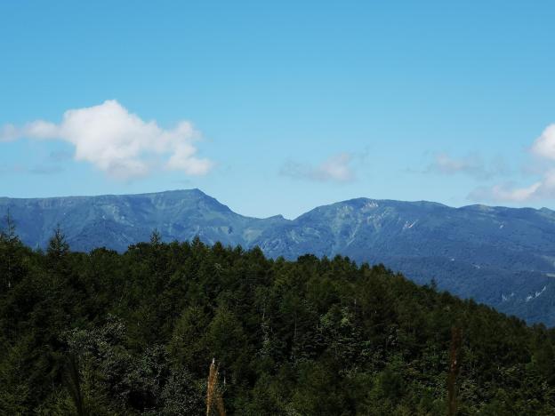
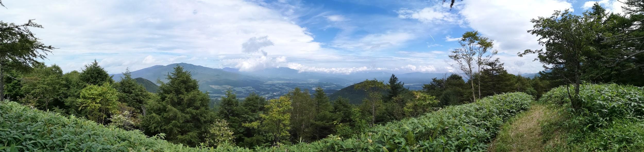
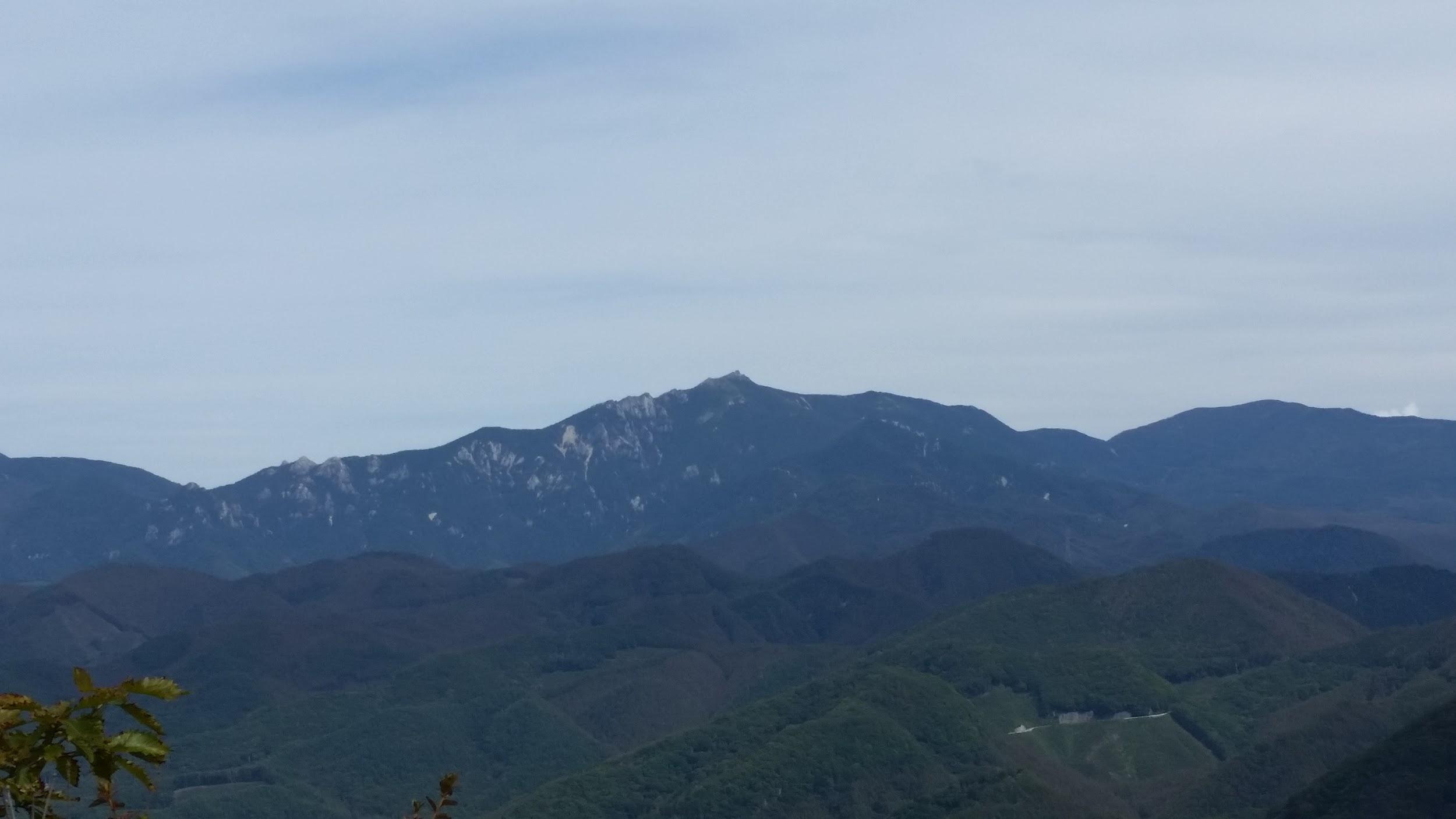
Mt Chichibu-Ontake (1080m), Chichibu City, Saitama Prefecture, Sunday, December 18, 2016

View North – Mt Asama is the white bit on the left

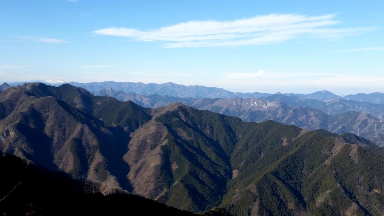
This is a hike I had been wanting to do for a while, but since it was a little short, I had to time it close to the shortest day of the year. Fortunately I was able to walk to the start of the trail from Mitsumine-Guchi station; it was a tad spooky because of all the “fake people” next to the road and in the fields (see the photo below). Some were obviously scarecrows, but not all of them. After climbing for a short while, I got my first views back along the Arakawa river valley, stunningly beautiful in the crisp December weather. After about an hour of steep, solitary climbing through dark pine forest, I reached the small shrine on the narrow top of Mt Chichibu-Ontake 秩父御嶽山, where another hiker was having his lunch. I took some time to enjoy the superb views in every direction – including snow-capped Mt Asama and the jagged peak of Mt Ryokami – before heading down a different route, to a bus stop on the road for Mitsumine shrine.

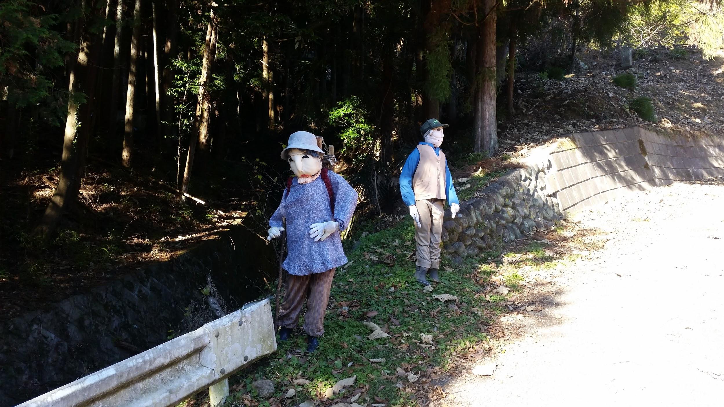
Fake villagers guarding the start of the trail

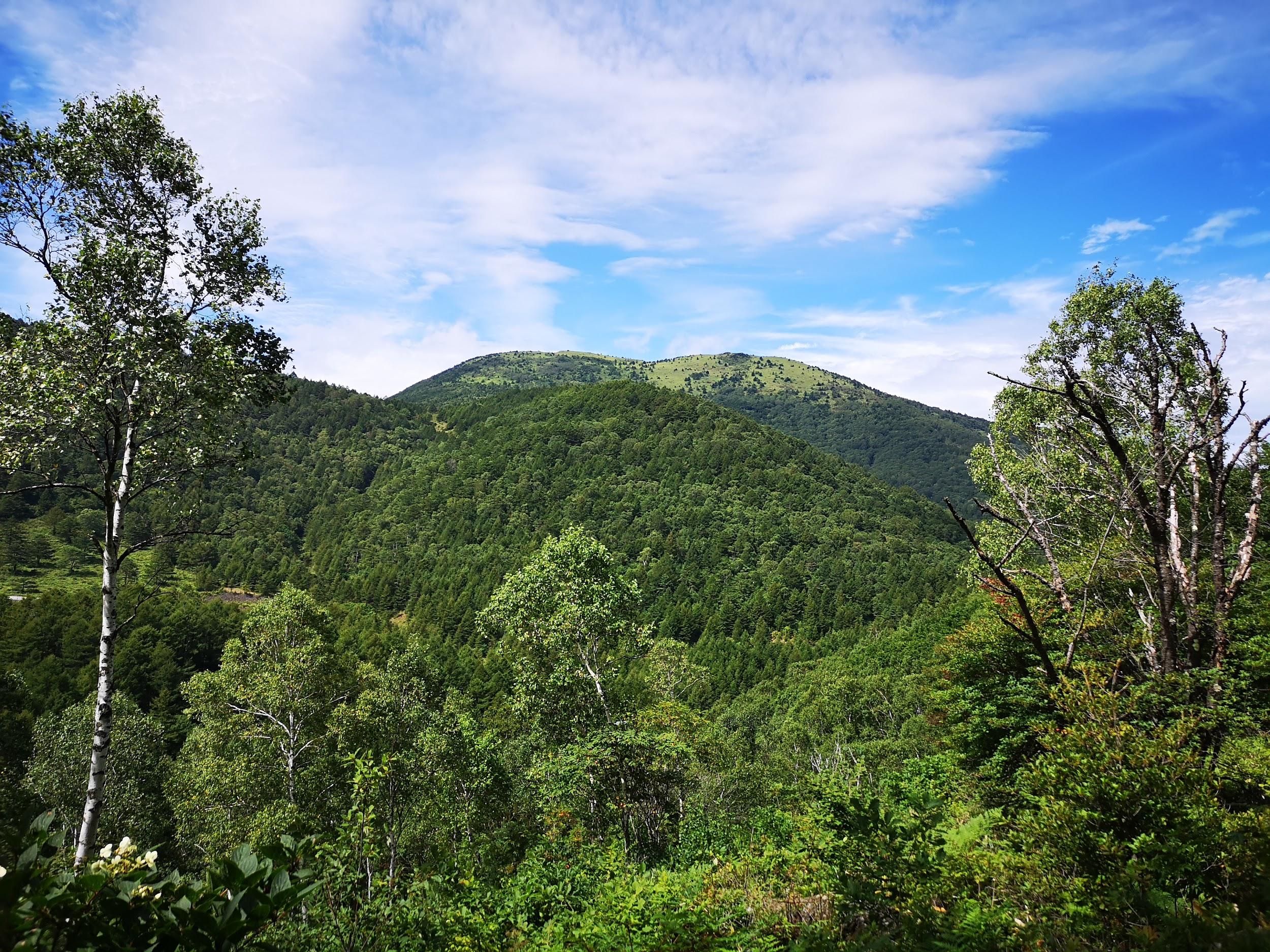
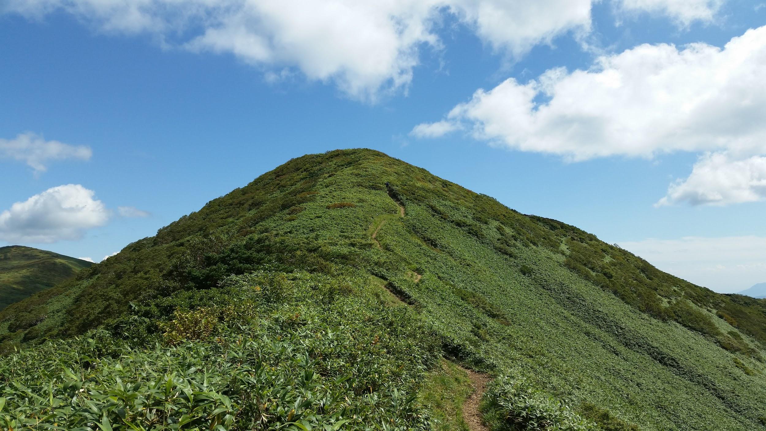
Mt Azumaya (772m), Chichibu City, Saitama Prefecture, Friday, December 23, 2016

Countryside view of Chichibu with the pyramid top of Mt Buko in the back

My last day hike of the year, was the peak just to the North of the previous one. The start of the trail was a little further from the train station, so I had to take a bus. This is also a somewhat short hike, so perfect for this time of the year. Soon after starting out, I reached an observation point with nice views of the valley below. There are several paths up but the way I picked had a rocky section with chains – some unexpected fun! One can also reach the top via easier paths. I had more good views along the way, although the top of Mt Azumaya 四阿屋山 was in the trees. I only could see Mt Ryokami, and the mountain range to its North, including Mt Futago, which I climbed six months later and had a scary experience when I went down the wrong trail. This time I was completely alone on the summit. While I was having lunch, the weather turned cloudy and cold, so I hurried back down an alternate path, but which looped back to my starting point. From there it was a short troll to a nice hot spring facility and a bus stop.

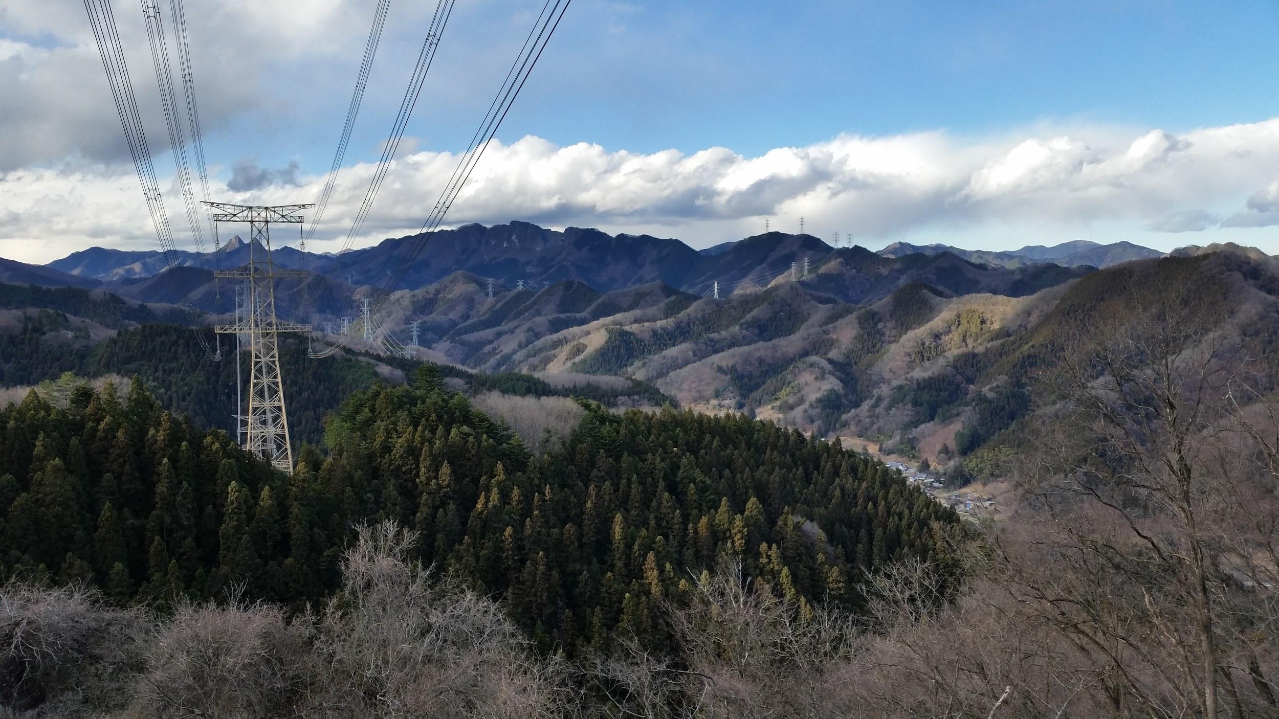
Mt Futago can be seen behind the power line
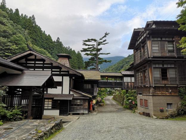
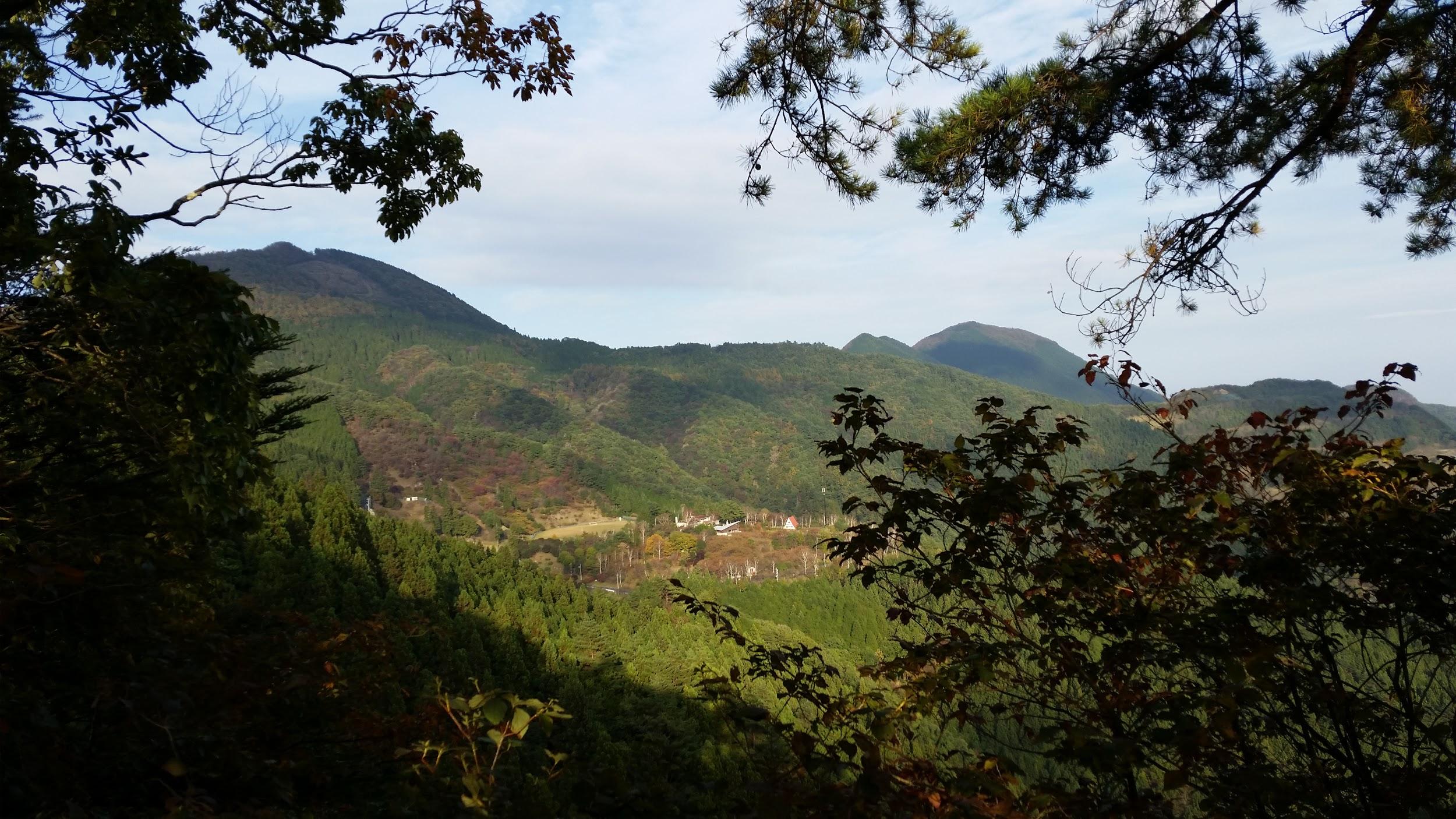
Karikomi Lake, Nikko City, Tochigi Prefecture, Sunday, July 21, 2019

The very long rainy season had put a premature end to the first half of the 2019 hiking season…but I was determined to get one more hike in before the hot and busy (for me) summer arrived – my next chance would probably not be till September. Since I was a little out of shape, I chose a short and easy one in Nikko, hoping that the overcast skies, and voting for the national elections, would keep the crowds away. I was looking forward to visiting the Oku-Nikko area since I hadn’t been there since my climb of Mt Nyoho two years ago.

Lake Karikomi and Mt Taro in the background

I took advantage of the more expensive, but direct Tobu Nikko line train – being able to sit and sleep during the 2 hour trip was definitely worth the express surcharge. In Nikko there was a light drizzle. I didn’t fancy walking in the rain but I couldn’t turn back now. Going up “Irozaka slope”, the bus was enveloped in thick mist. Fortunately, once we emerged at Chuzenji lake, we were above the mist and I could see the lake and mountain sides – the sky overhead was overcast and the peaks were in the cloud though.

Today’s hike was through green mossy forest

I got off at the very last stop, Yumoto-onsen. This small, somewhat run-down, onsen town town seemed totally deserted, 11am on a Sunday morning. Was the town in decline or was my timing bad, I wondered to myself. I made my way to the start of the hiking path behind the town, also the source of it’s hot springs. There is a wooden observation path, and two small pools of bubbling water – not the most exciting tourist attraction but it’s always cool to see hot water coming out of the ground.

See the hot spring water bubbling up and hear the birds chirping near Karikomi lake

The path climbed for a few minutes, then crossed a road, before heading along the side of small forested valley. Despite being at 1500m, the air felt unpleasantly heavy – very different from my previous hike 2 weeks earlier, and one thousand meters lower. It took me less than an hour to reach a pass, where I took a short break. Afterwards, the hiking was mostly level and along a broad easy-to-walk path. I took off my bear bell so that I could enjoy the intense chirping of birds.

A signpost in the forest

After some descending along wooden staircases through a thick moss covered forest, I arrived at Karikomi Lake (刈込湖) just before one o’clock. After checking out the view and having a quick lunch, I set off along the path through beautiful forest, passing another small lake, and finally arriving in a wide grassy valley. Since I needed to catch the 3pm bus from the Astoria Hotel I couldn’t linger and I powered up the mountainside opposite and over another pass, with Mt Taro on my left, a 300 famous mountain that I have yet to climb.

A grassy field suddenly appeared

A hidden valley in the middle of the Nikko National Park

From there it was a quick and easy thirty minute descent to the hotel – I had to overtake a very big group of elementary school children on the way. I made the bus but had to forego the onsen, otherwise I would miss the last express train back, and that would mean getting to Tokyo really late. By the way, this place would have snagged fourth place on my list of places to go when it’s hot and humid, except that the traveling time is too long for a daytrip – seven hours for only four hours of hiking.

On the shore of Karikomi Lake