
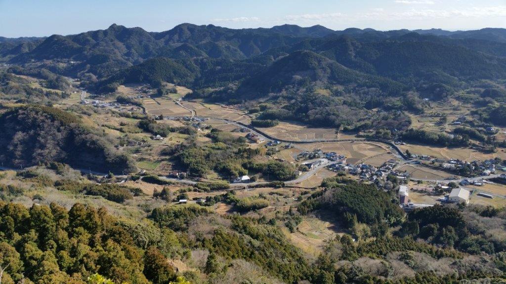
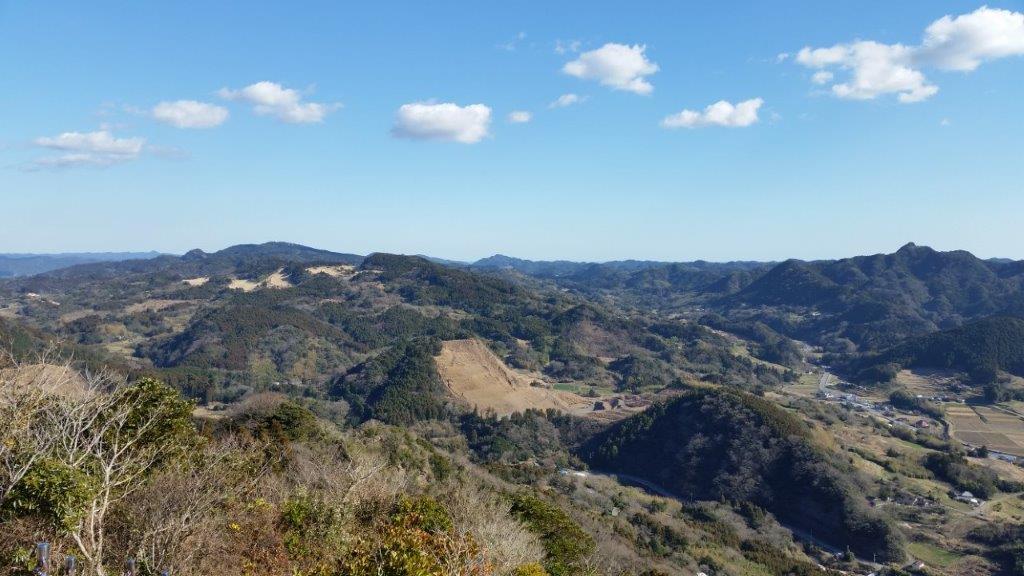
With early freak snowstorm, mountains in the Kanto area received up to 20 cm of fresh snow. I did a short reconnaissance up Mt Hiwada 日和田山 (305m) near Hanno station on Friday. Unfortunately snow and November temperatures don’t really mix, and everything was melting as if Mother Nature was trying to cover up some big mistake in a hurry.
Big lumps of snow were falling from the branches making walking under the trees quite perilous. In other places snowmelt was coming down in streams of water just as if it were raining, except that it was a beautiful sunny day. Overall the muddy and wet conditions were starting to make me despair that I would be able to find a good place to go hiking on Saturday. Too low, I would encounter similar slushy conditions. Too high and there was a risk of losing the trail or worse, running into trouble on a steep section.
I finally hit upon an interesting idea which I was able to confirm after a quick search on internet. Buses for Daibosatsurei (2047m) 大菩薩嶺, one of the hundred famous mountains, usually run till about mid-December, after which the service is stopped till the spring because of snow. Daibosatsurei is a relatively easy mountain to hike, a place I was familiar with, and that would also make a good snow hike, except that in the in the winter months you would have to hike up (and down) from a much lower point, the entrance of the Daibosatsu mountain trail at 900m. However, despite the unusual snowfall the buses were still running on Saturday November 25th and thus it was possible to get all the way up to Kamihikawatouge 上日川峠, nearly 600m higher, and a very good convenient starting point for a stroll in the snow.
After getting off at Kaiyamato 甲斐大和 station, I rushed to get in line at the bus stop. Daibosatsurei is a highly popular place to hike, not only because it’s a hyakumeizan but it’s also relatively close to Tokyo and easy to hike. However this time, we were only a handful of people waiting for the bus. Perhaps most people were dissuaded by the snowy conditions or maybe less people go there after the Koyo (autumn leaves) season.
Whatever the reason, I almost thought they were right when the bus failed to turn up on time. We were informed by the bus driver of another bus that ours was running late because of the icy roads. Our ride finally rolled in 30 minutes late making a loud rattling noise because of the snow chains. For once this was a good thing, since the hike I had planned, a simple loop of the top part of the mountain was a tad too short. With half an hour shaved off, the timing was perfect.
There are few mountain roads in the Tokyo area that are open through winter and thus it was quite a unique experience riding up the mountain with snow banks on either side and, ice and snow underneath on the higher parts of the road.

I was finally able to start hiking just after 11am. At 1600m the snow was already getting heavy and wet, and any hiking below that point was bound to be unpleasant. I took the ridge trail leading straight up to the summit. Under the trees, it was enjoyable to hike on the snow, made compact and firm by the footsteps of previous hikers, and on the rocky sections higher up, the snow had completely disappeared from anything in direct sunlight. There was no ice, and crampons weren’t necessary on the ascent although I had light ones in my pack, and several people were using them, mainly for going down. The views of Mt Fuji and the entire range of the South Alps were stunning. I had been to Daibosatsurei before but the views hadn’t been anywhere as great.


The top ridge at around 2000m was freezing and the snow was 20cm deep and practically powdery. From the highest point, you can walk down along the ridge enjoying the beautiful winter scenery. At the emergency hut on the Daibosatsu Pass I turned right and walked down along the gently sloping wide path that meanders through the forest at the base of the top ridge back to the bus stop. Being somewhat sure-footed and having heavy solid hiking boots, I never had to resort to my crampons.
All in all a satisfying if somewhat short hike (under 4 hours) in a snowy setting and a good choice after a late autumn / early winter snowstorm. Most likely the bulk of the snow under 2000m will have melted by next weekend making this a one-off.


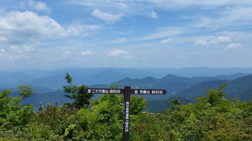


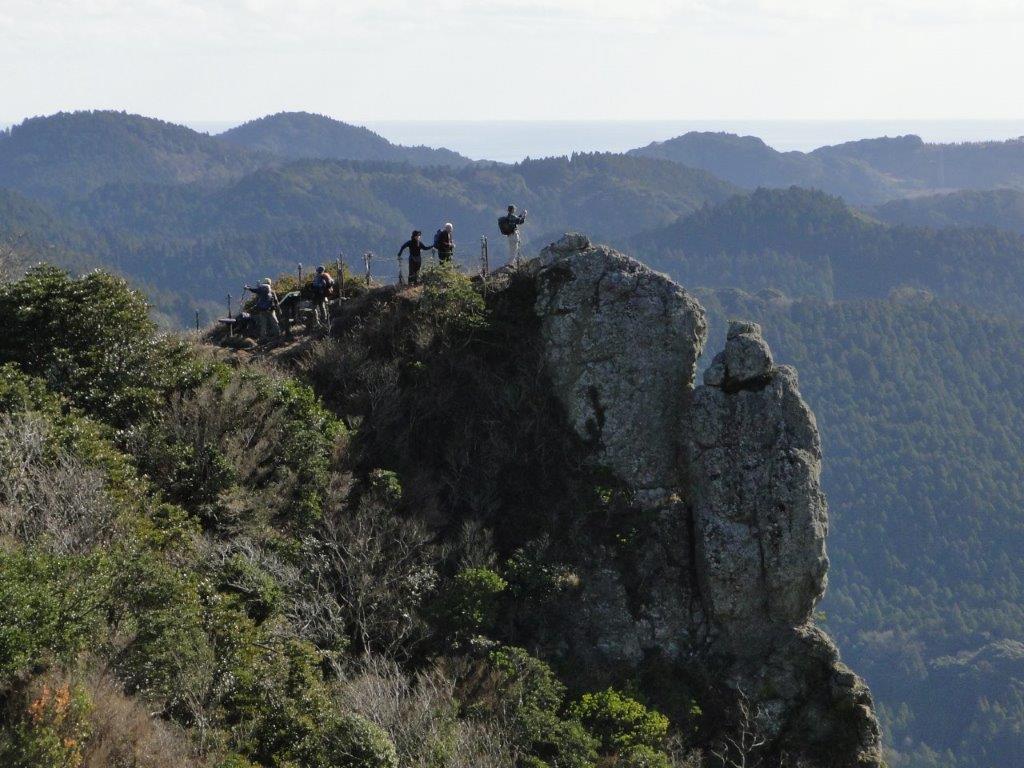
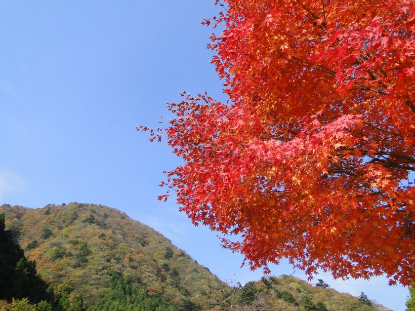
![Mt Kurami (1256m), Tsuru City, Yamanashi Prefecture [Map Available]](https://hikingtokyo.com/wp-content/uploads/2020/04/20150103_124330.jpg?w=1200)

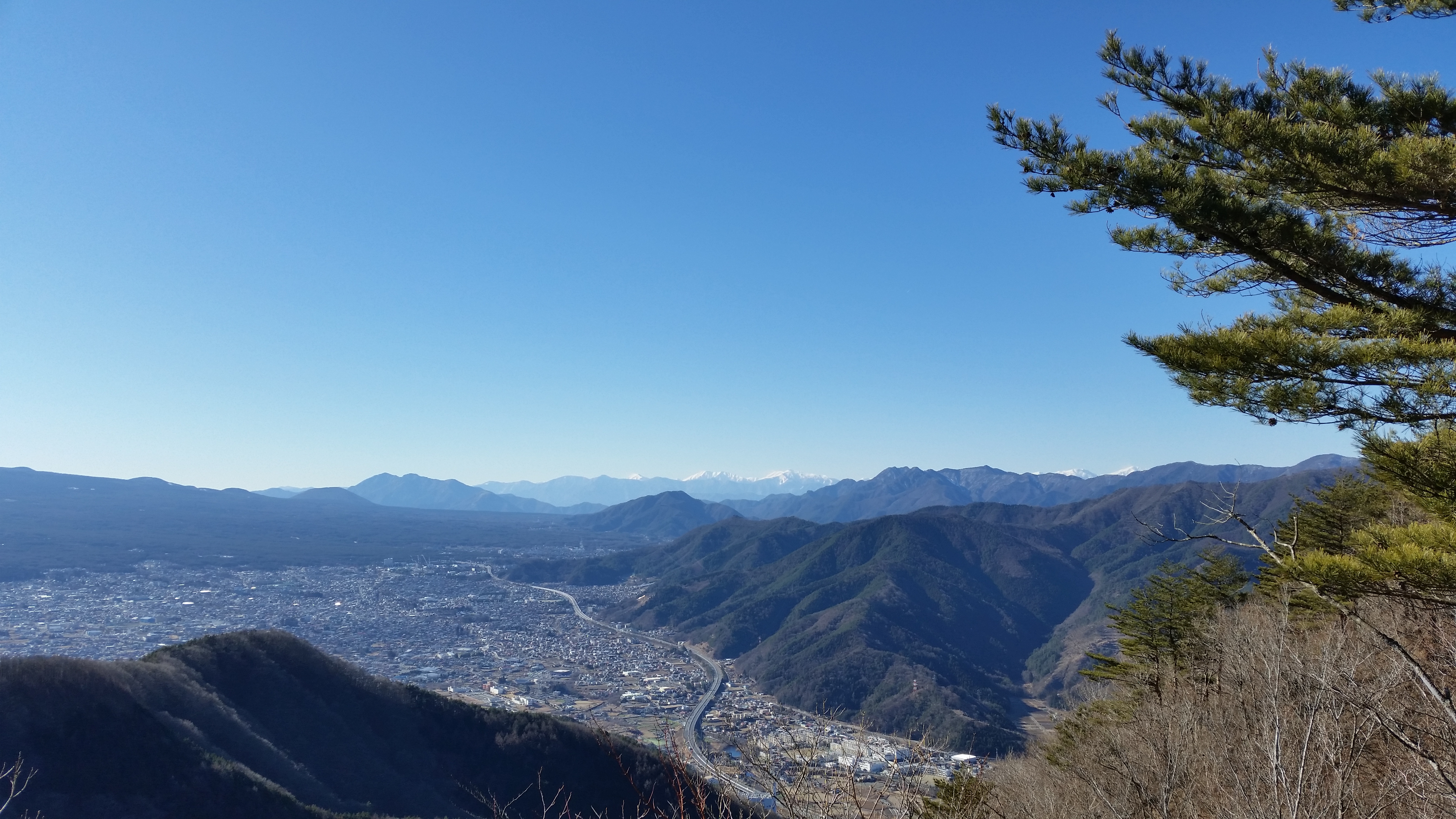


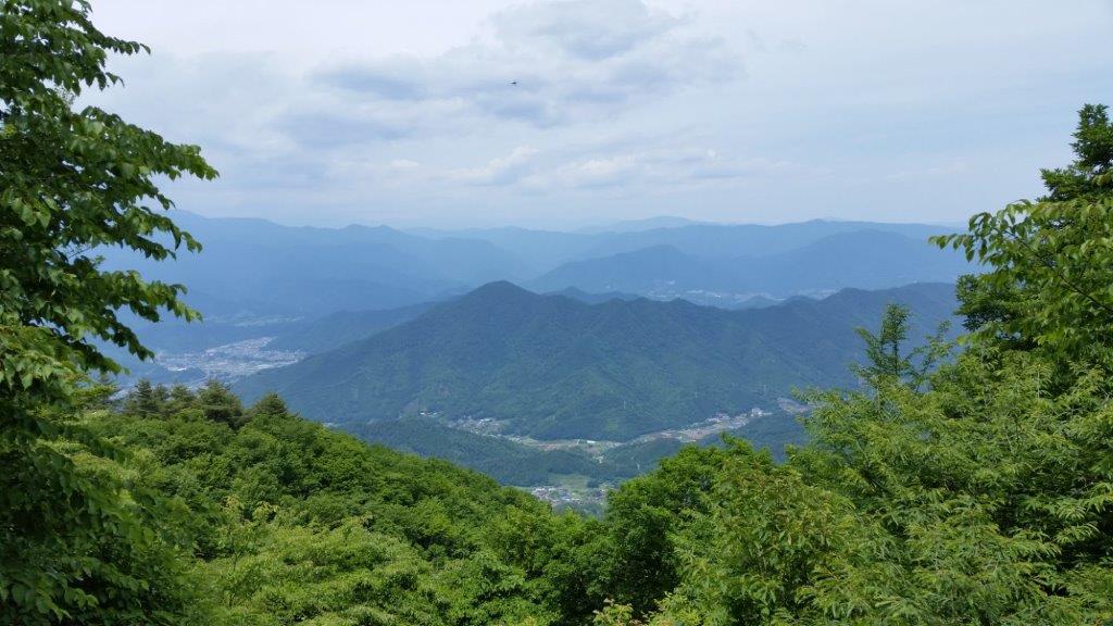
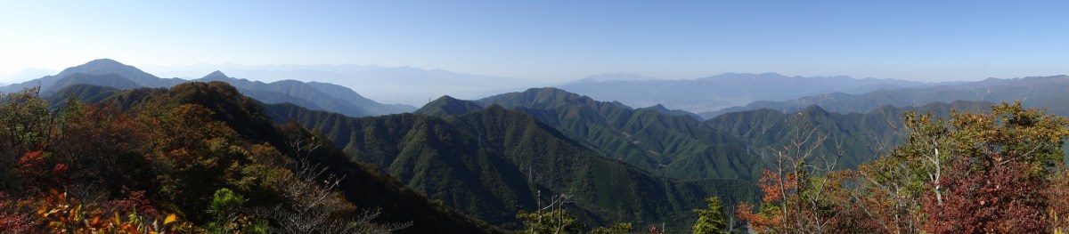
![Mt Shakushi (1597m), Fujiyoshida City, Yamanashi Prefecture [MAP AVAILABLE]](https://hikingtokyo.com/wp-content/uploads/2012/11/dsc05095b.jpg?w=1200)


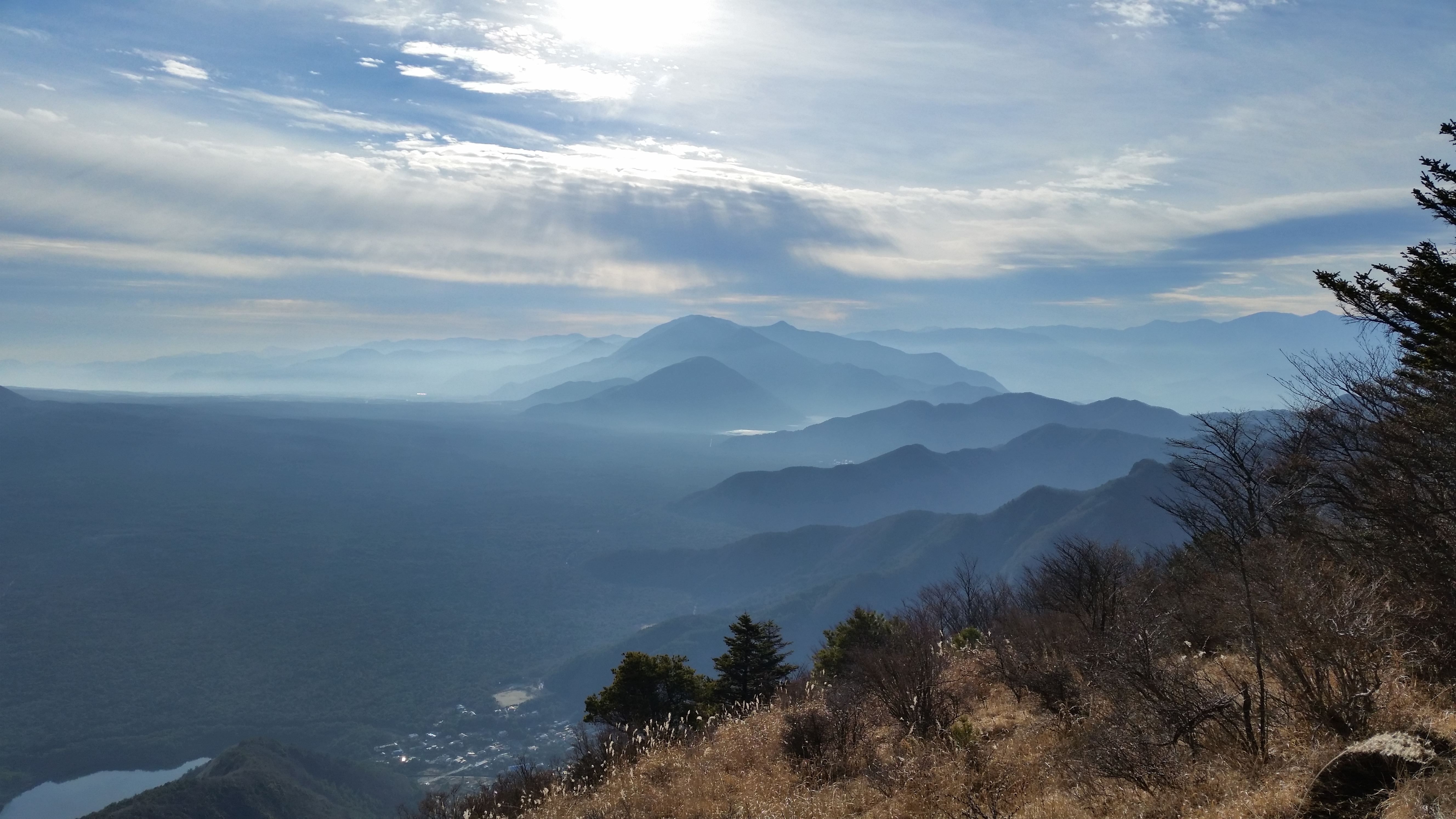
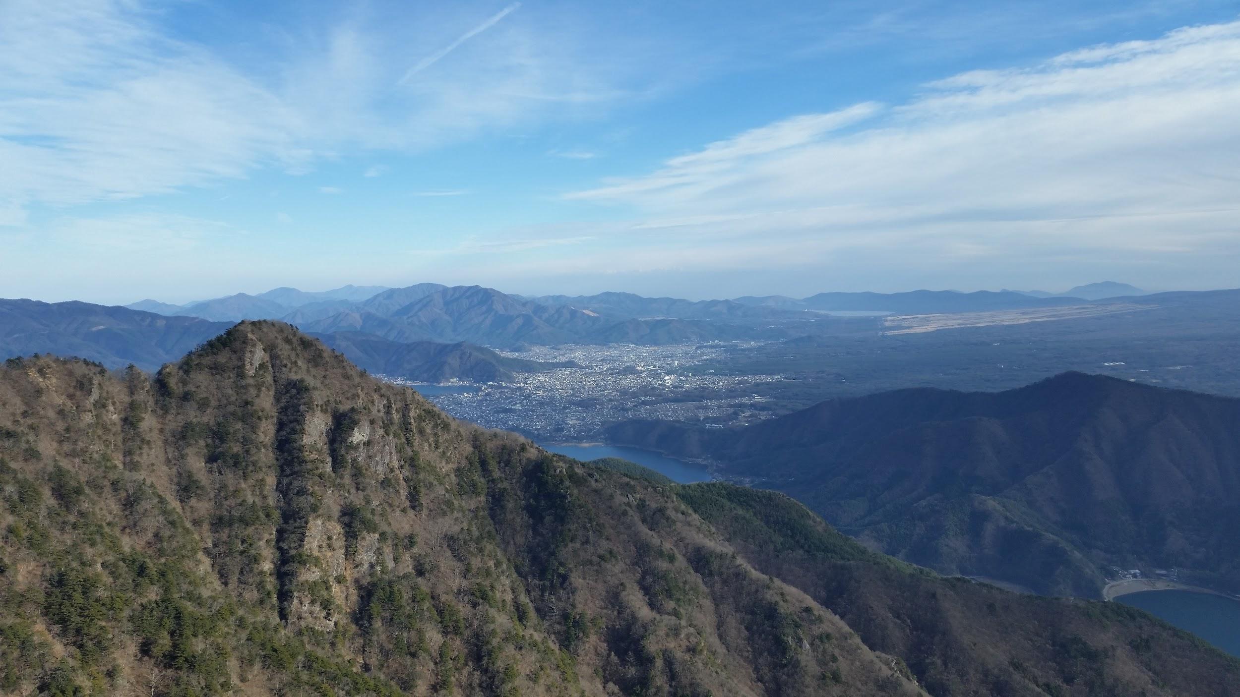
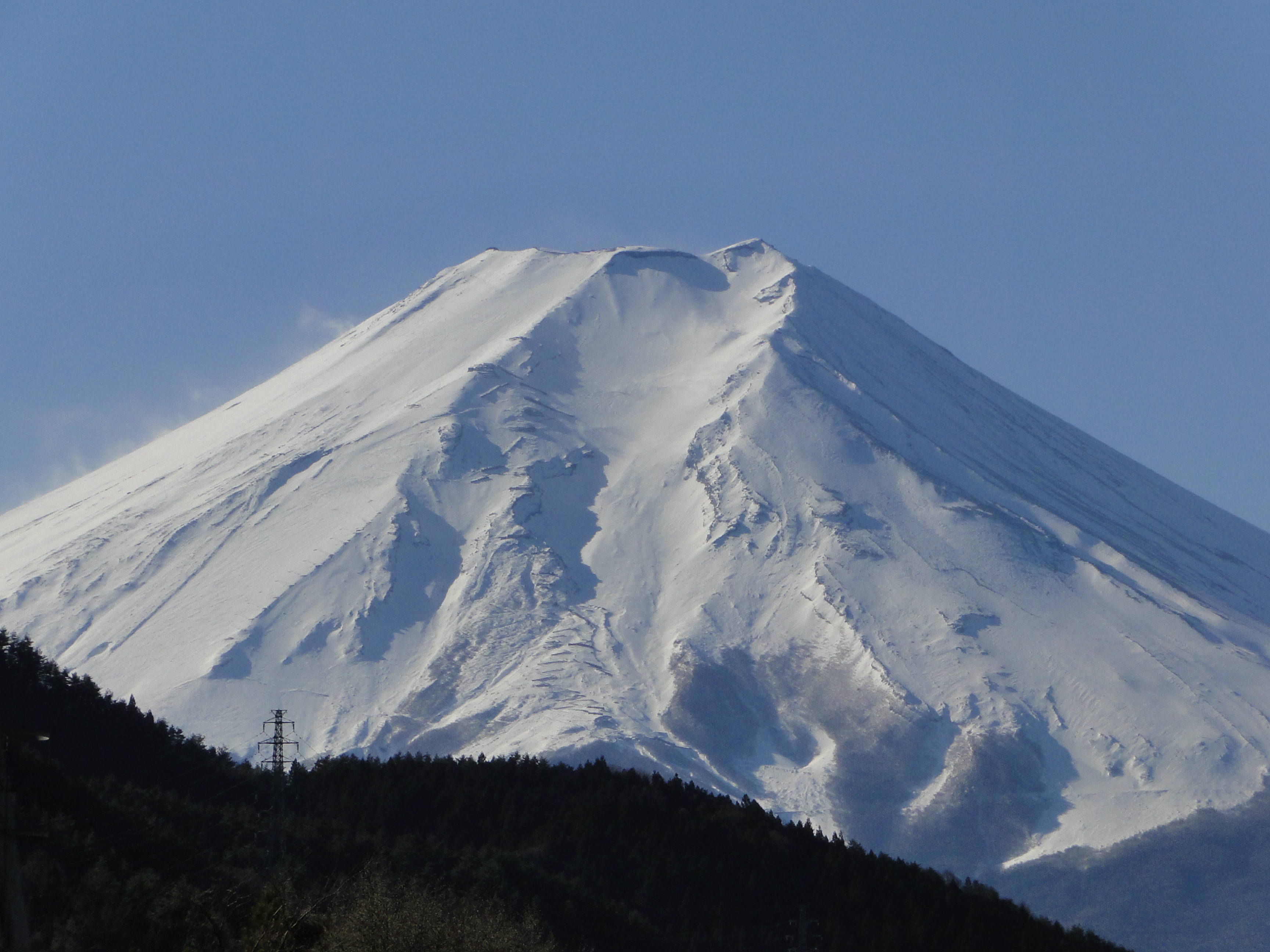
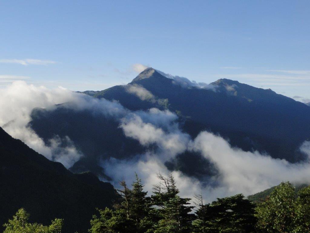
![Mt Kita (3193m), Mt Aino (3189m), Mt Notori (3026m) & Mt Shiomi (3047m), Yamanashi, Nagano and Shizuoka Prefectures, September 2010 [Map Available]](https://hikingtokyo.com/wp-content/uploads/2023/01/dsc00382.jpg?w=1024)


You must be logged in to post a comment.