
I wanted to do some more hiking in Shizuoka. Looking online, I found a trail along a north-south ridgeline extending all the way into Shizuoka city, the Mt Shizuhata Hiking Trail. It seemed a bit on the short side meaning I could walk it at a leisurely pace while enjoying the views. After visiting Asama shrine at the end of the trail, I could drop by the nearby Ofuro Cafe Bijinyu, a public bath doubling as a cafe.
For subscribers, read this Post on Hiking Around Tokyo for a better viewing experience and the latest updates
I could get to the start of the hike by riding the bullet train directly to Shizuoka station, and from there, catch a bus for Ume-ga-shima Onsen, getting off at the entrance for Kujira-ga-ike Pond (actually a lake), a short distance from the trail entrance. After the hot bath at the end, I could catch a bus for the short ride back to the station. The weather was supposed to be sunny and cold, as well as a little windy. I was looking forward to exploring a new area with new views.
Find Japan Hiking Maps on Japanwilds

Start of the Hike past Kujira Lake (left) Entering the Bamboo Forest (right)
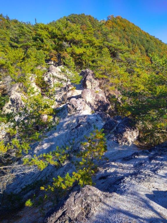
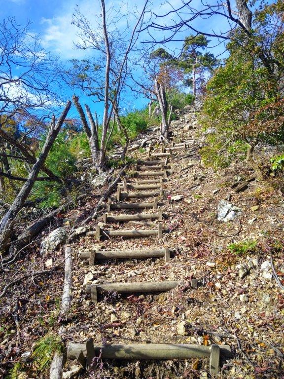
Trail near the 1st Viewpoint (left) Trees in the Way below Mt Fukunari (right)
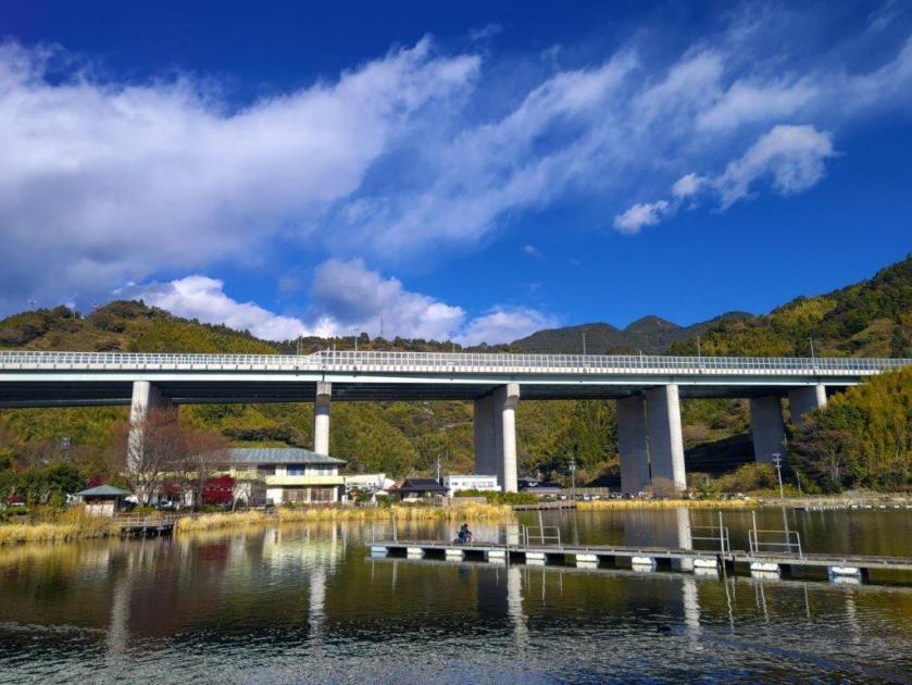
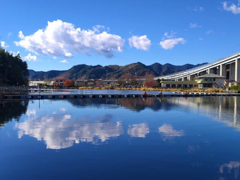
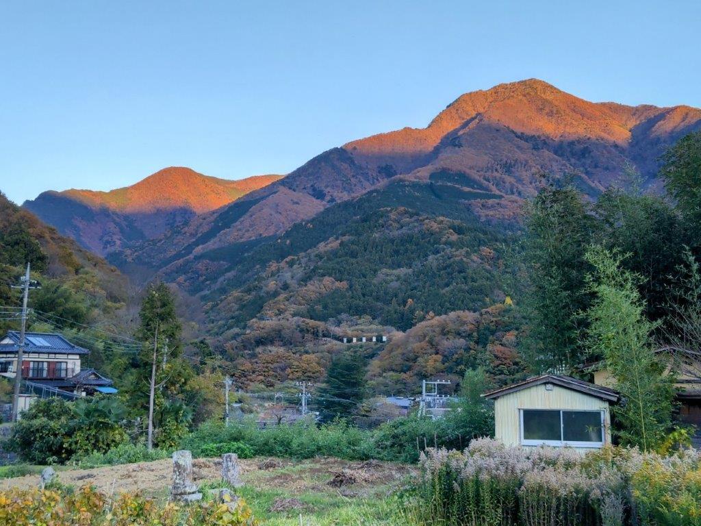
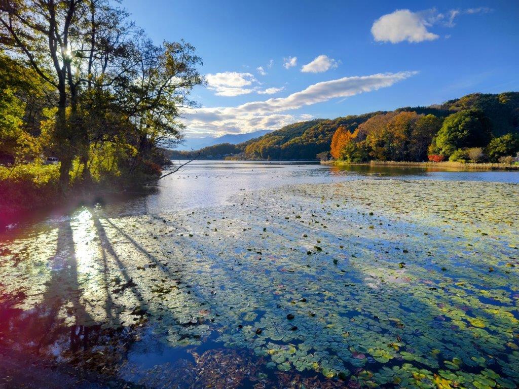
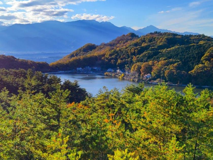
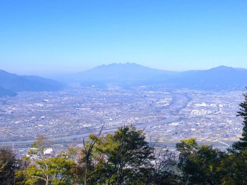
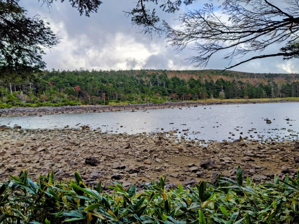
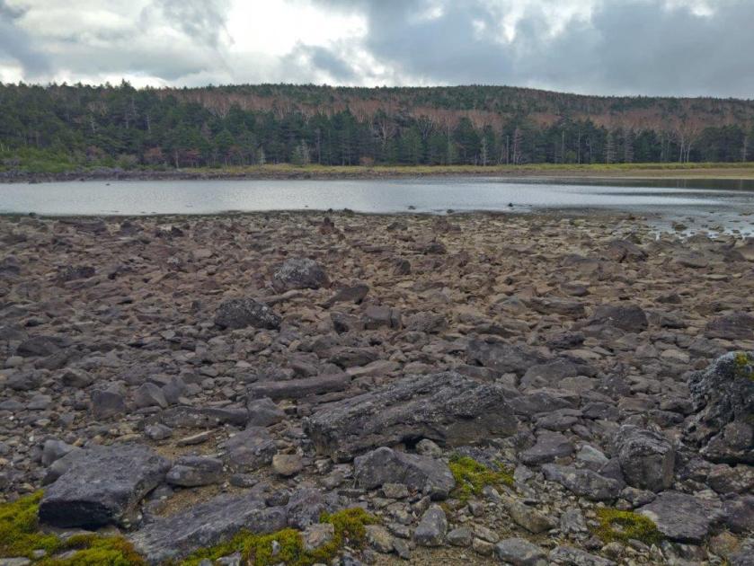
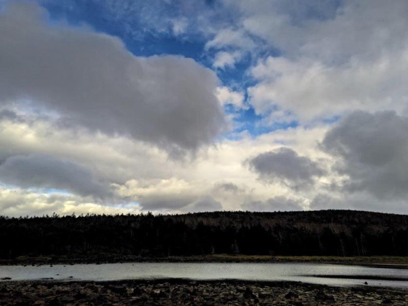
It was a blue-sky day as I rode the shinkansen, arriving at Shizuoka station around 10am. Soon after, I was riding a city bus northwards, with glimpses of the ridge I’d be walking today on my right side. It took half an hour to reach the Kujira-ga-ike Iriguchi bus stop, from where it was a short walk to Kujira-ga-ike, a fishing spot meaning “Whale pond”, presumably named after its shape. I decided to head around its south shore to better admire the view of the Shin-Tomei expressway on the opposite side .

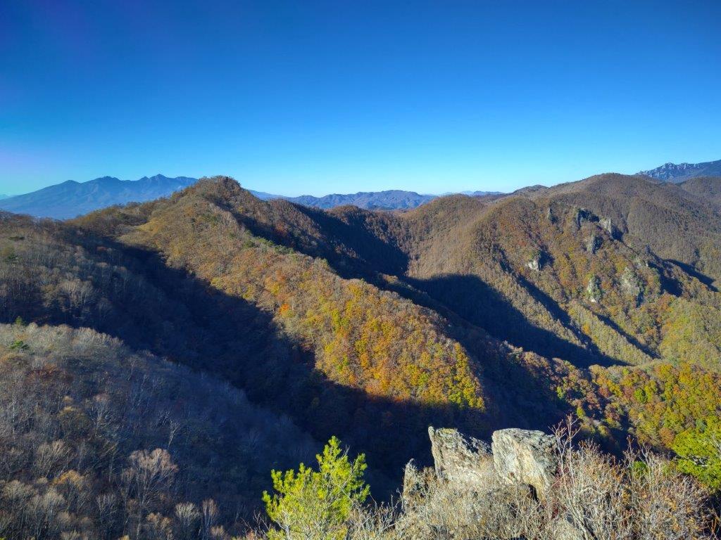
Trail near the 2nd Viewpoint (left) Trail near the 3rd Viewpoint (right)


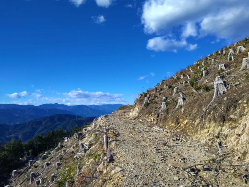
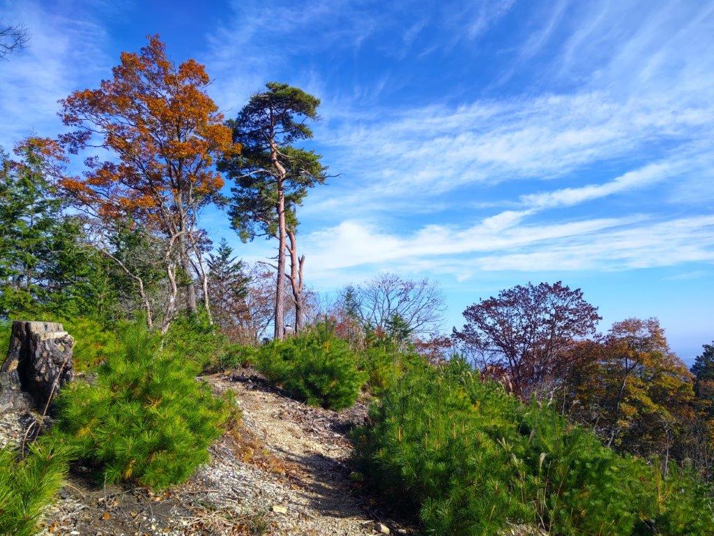
Trail past Mt Tanku (left) Mid-section of the Shizuhata Trail (right)
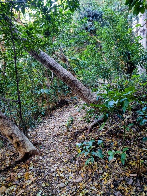
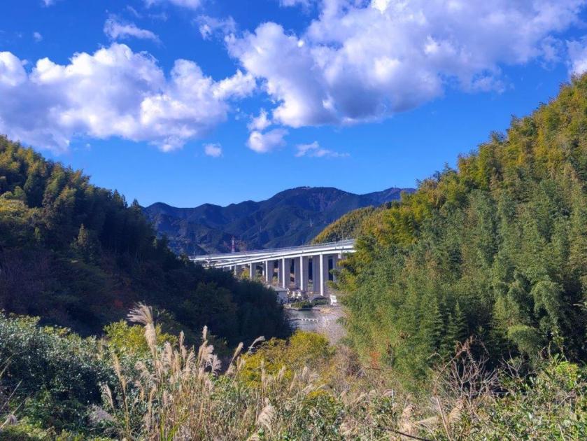
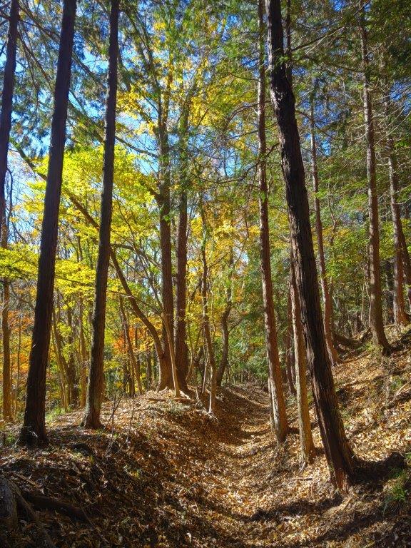
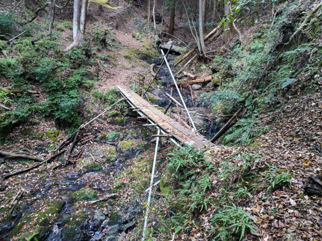
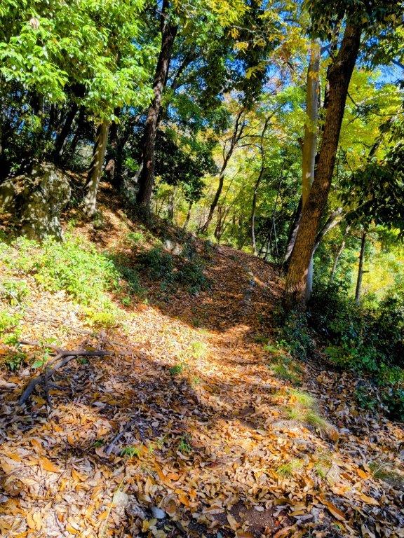
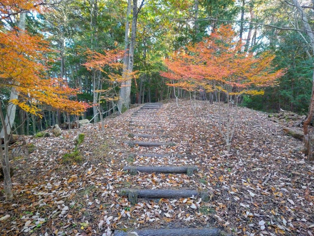
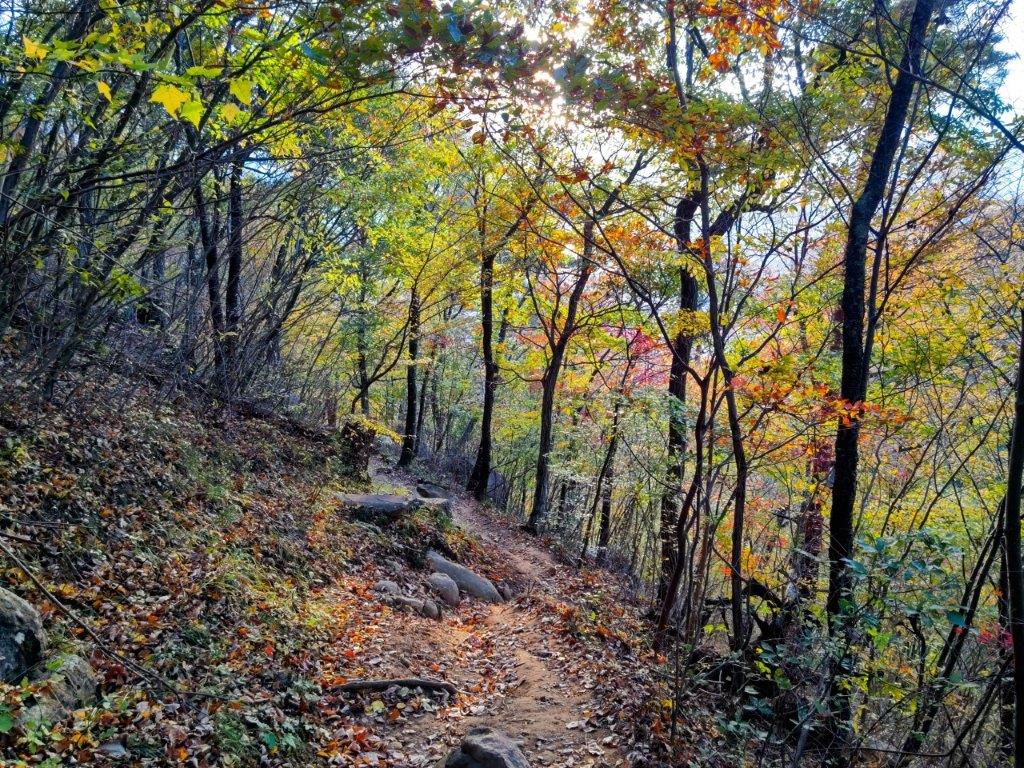
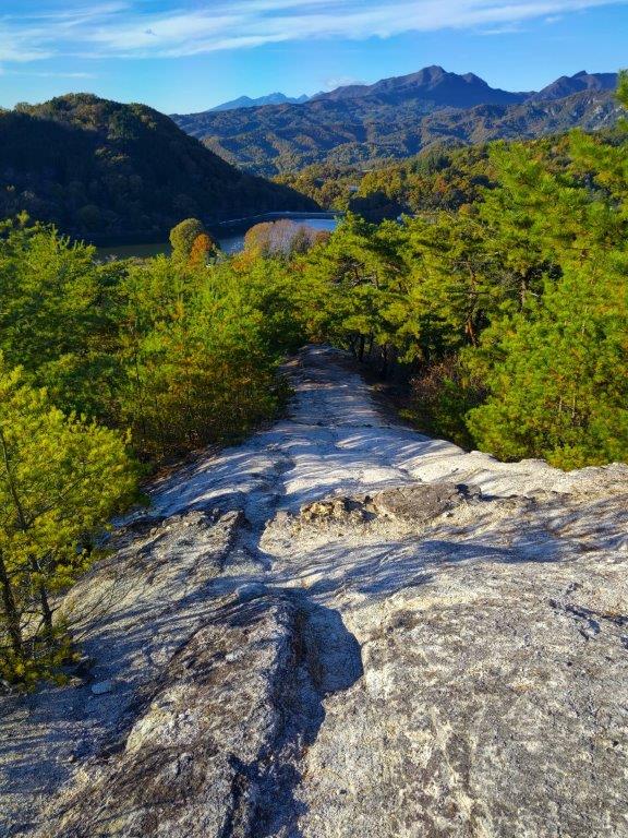
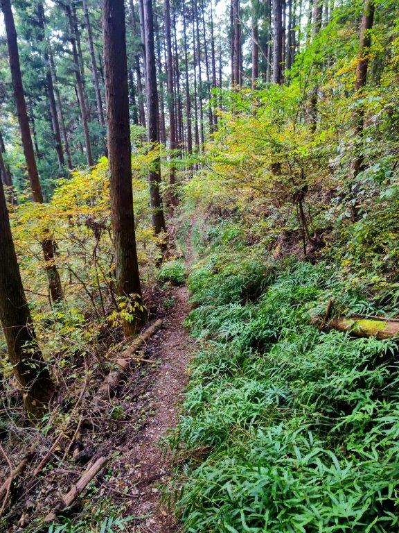
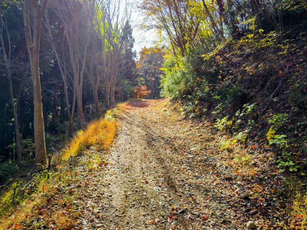
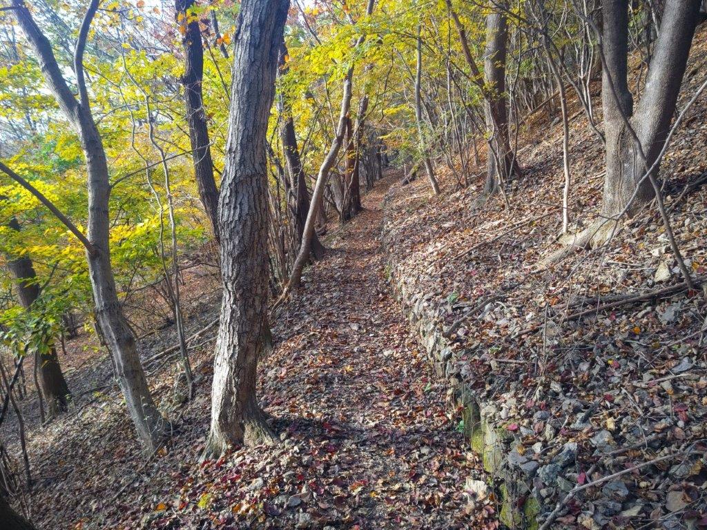
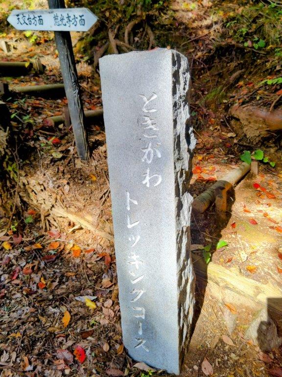
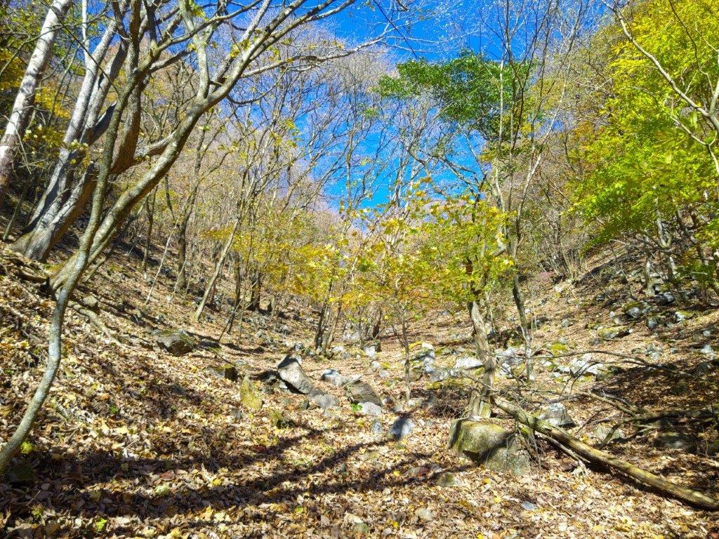
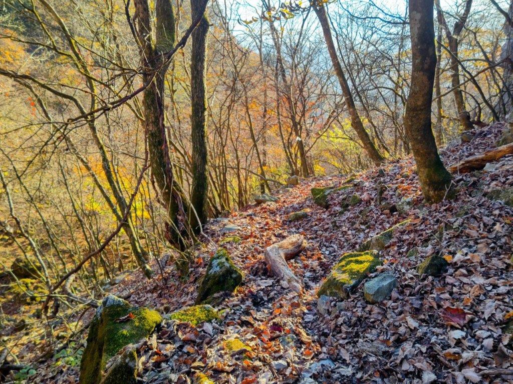
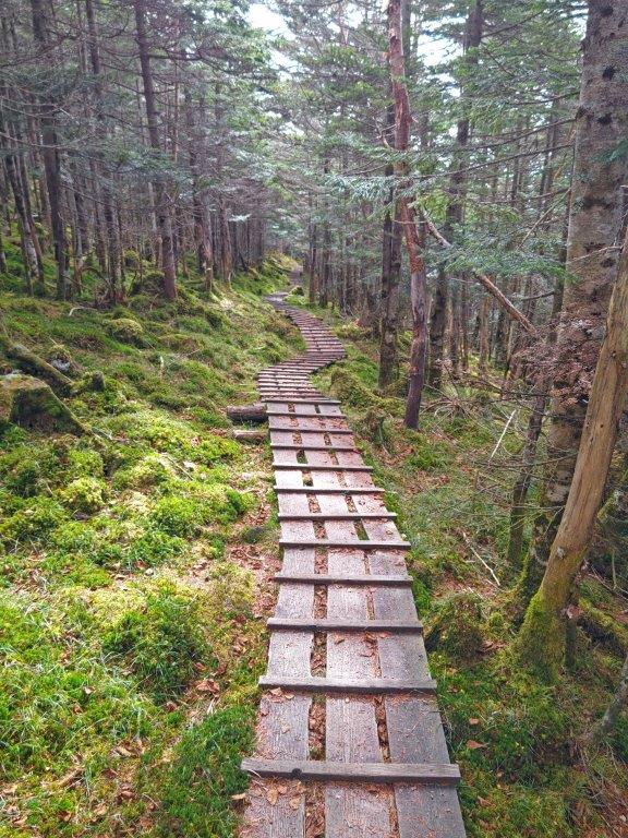
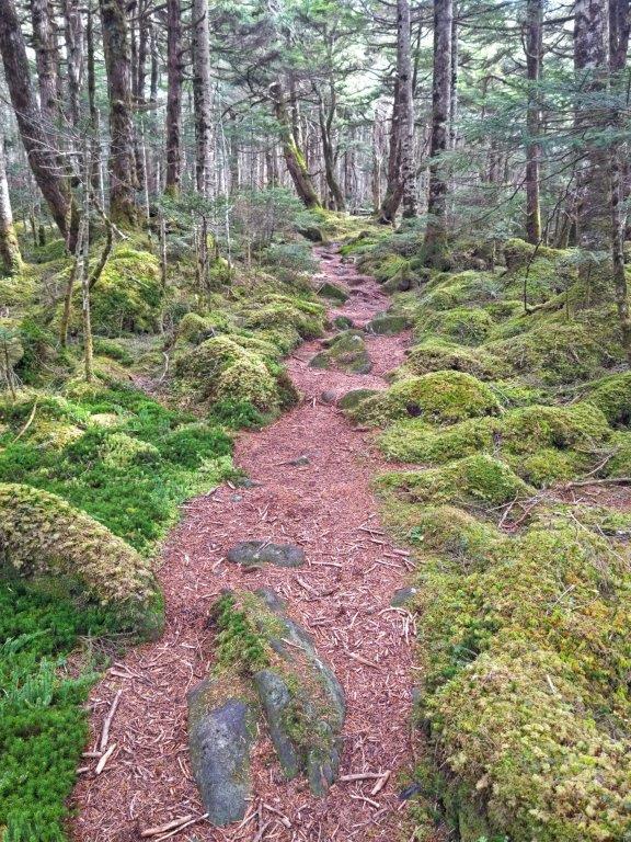
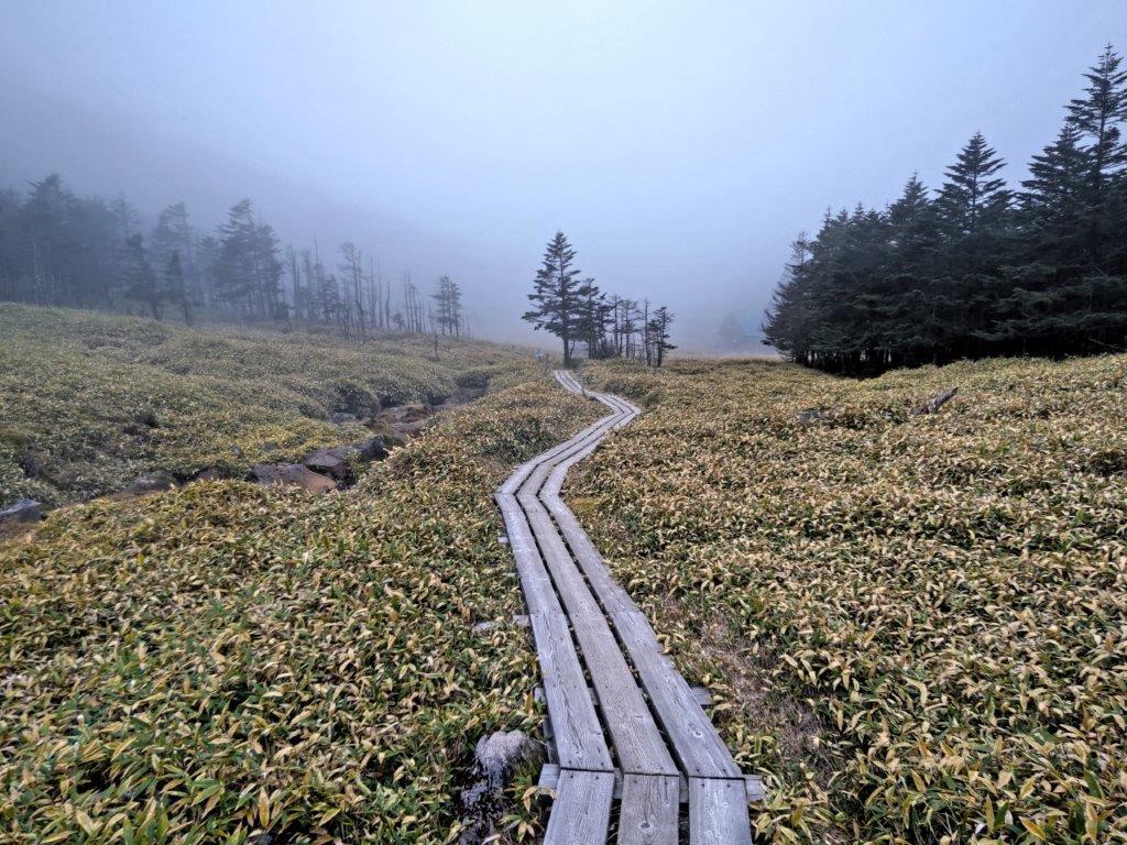
The view was best from the east side, just past Kujira-ga-ike Benten Shrine, the expressway disappearing into the mountains of the Southern Alps, puffy cumulus clouds reflected on the water surface. It was nearly noon, so I left the fisherman behind, and just before a tunnel, went up a paved road on the right, simply signposted as “Hiking Trail”, one of the trail entrances of the Mt Shizuhata Hiking Trail (賎機山ハイキングコース). I soon reached a real hiking trail, where I turned right, heading south along a gently undulating ridgeline. After passing through a tunnel of tall grasses, I arrived at the entrance of a bamboo grove.

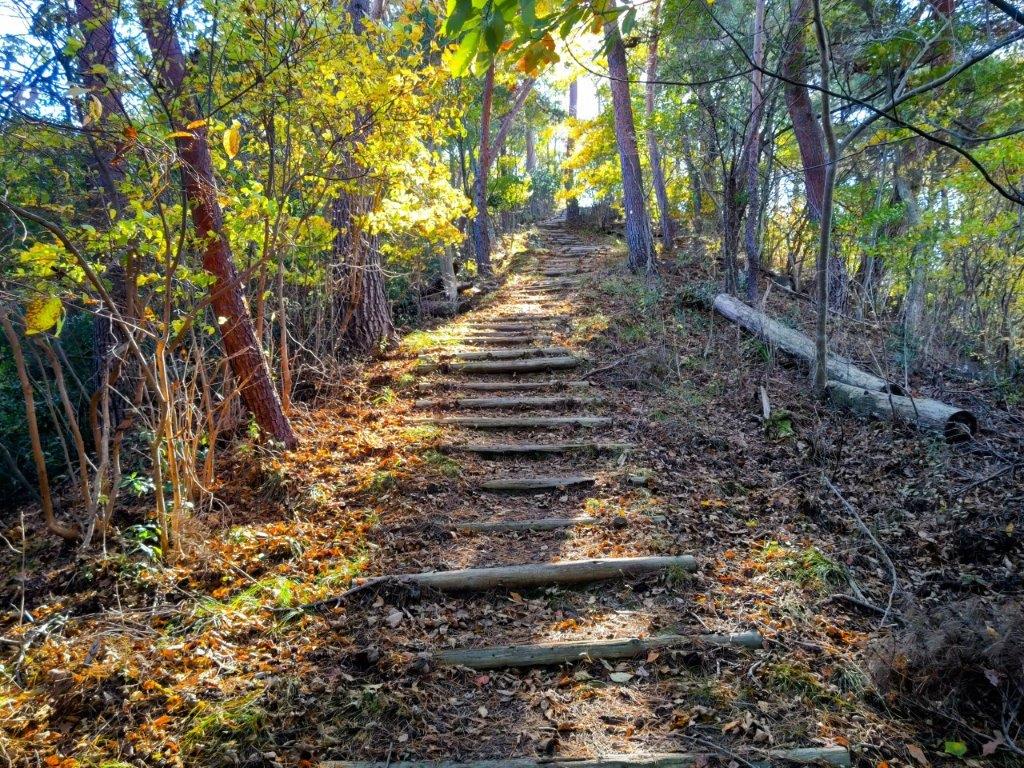
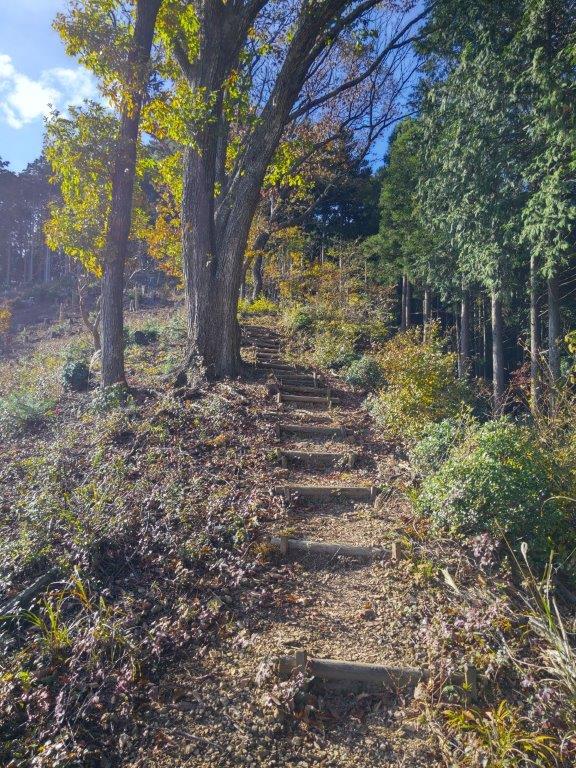
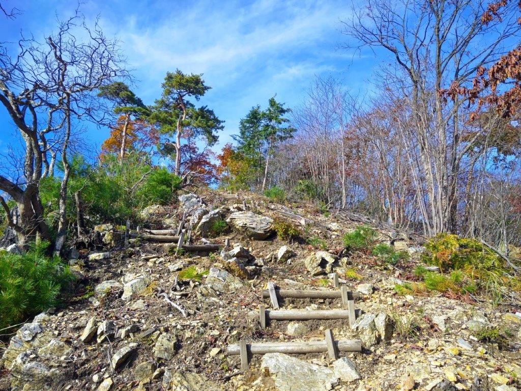
An Easy to Walk Trail (left) Trail Past Ipponmatsu (Right)


Heading down after Ipponmatsu (left) Heading Towards Mt Shizuhata (right)
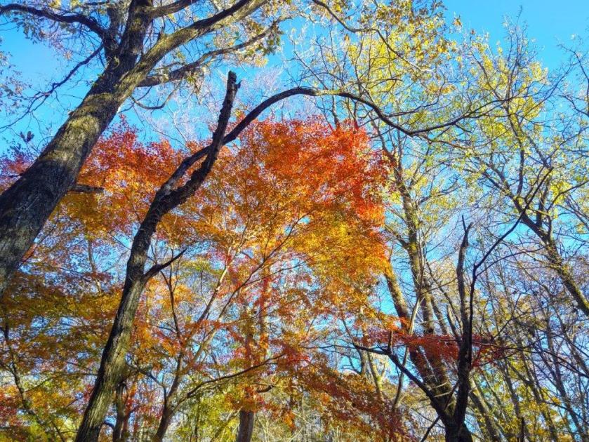
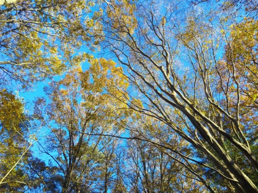
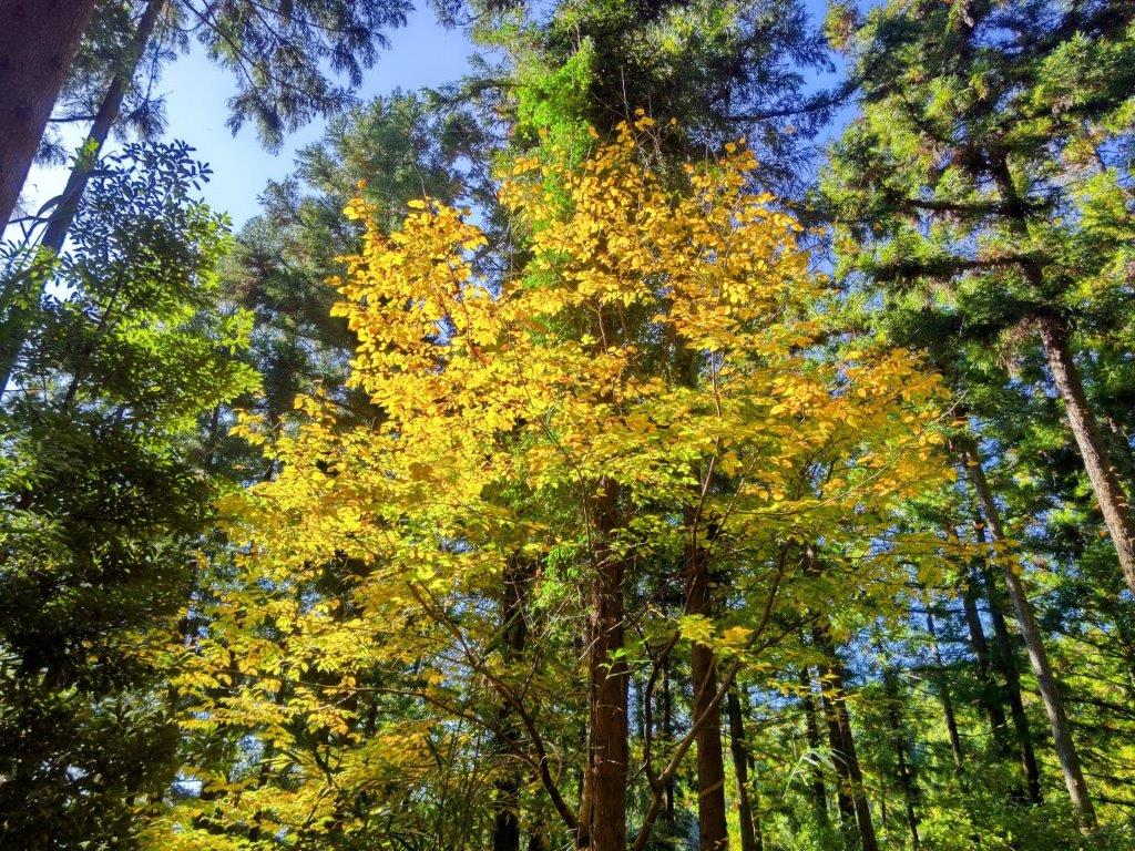
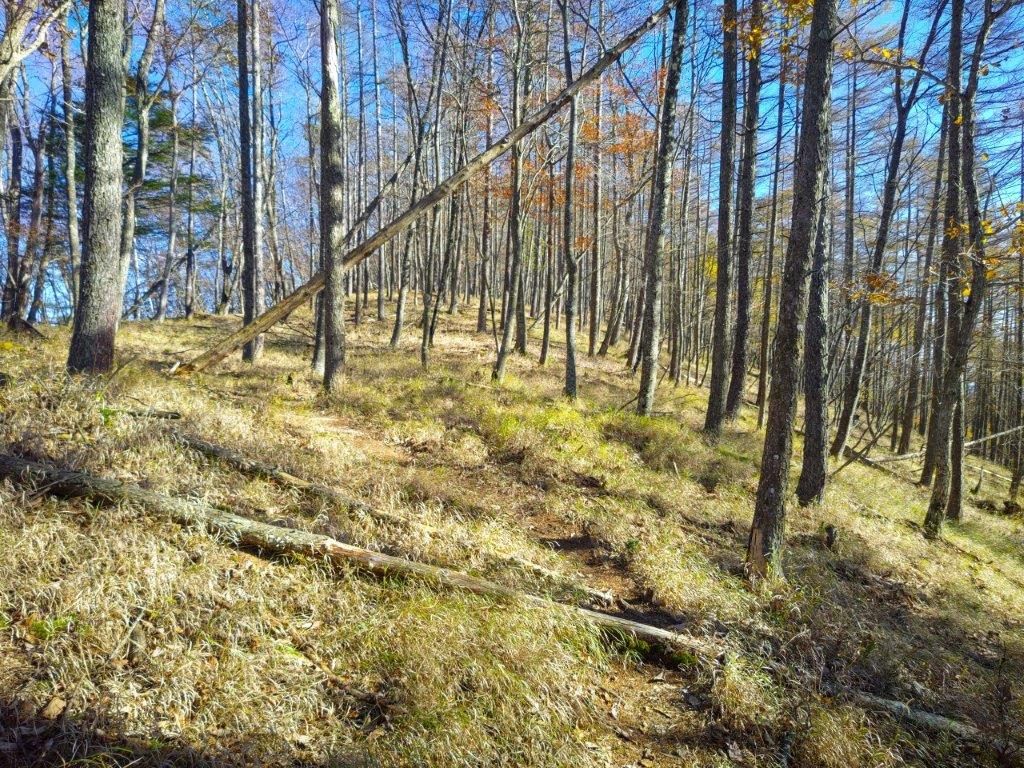
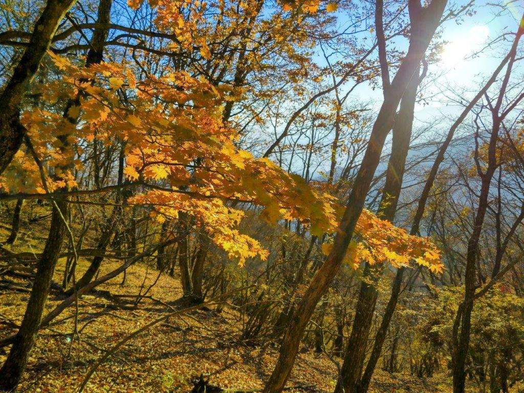
I love walking through bamboo groves as it’s something unique to this part of the world. This one was especially amazing, with one tall bare tree in its center, like a lord among its subjects. It was totally quiet, except for the occasionally cracking noises of the bamboo growing. After exiting the grove, the trail took on a very countryside-like quality, passing between hedges and rows of identical trees. Occasionally I could see some blue sky between gaps in the tree and I was starting to wonder whether I would get any views. Finally, one hour after I started along the trail, I reached the first viewpoint of the day, at the edge of a fruit orchard.
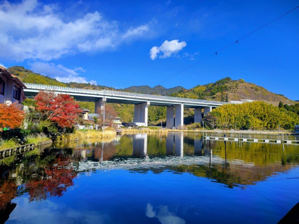
The Shin-Tomei Expressway from the South Side of Kujira Pond

The Shin-Tomei Expressway from the East Side of Kujira Pond
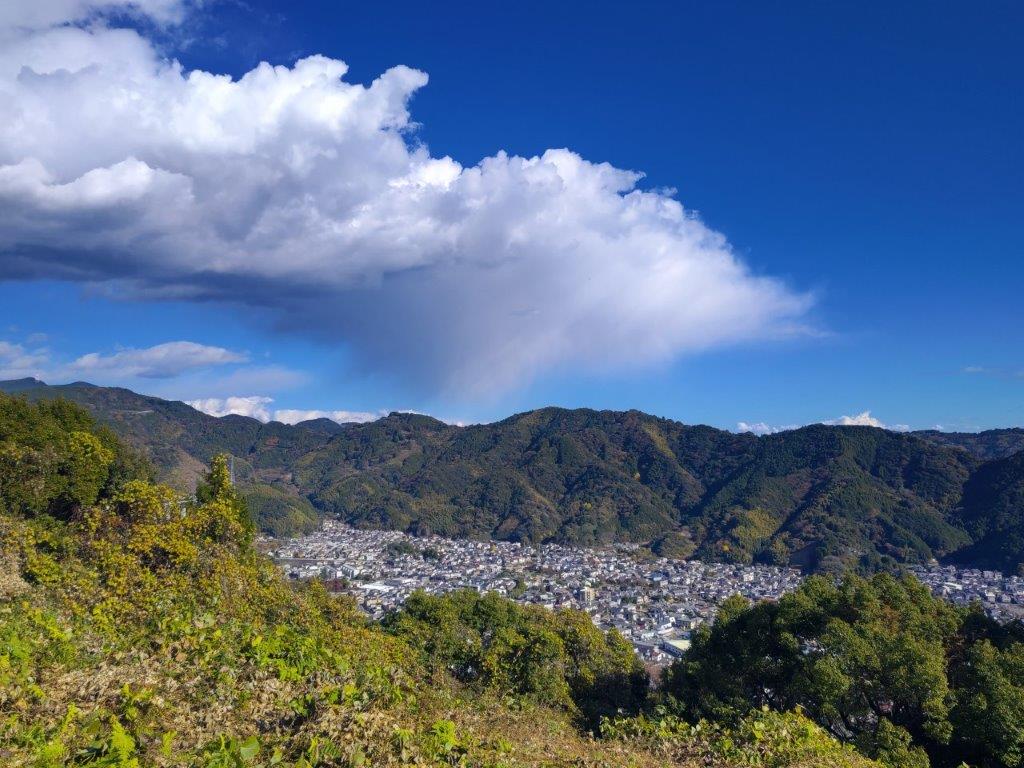
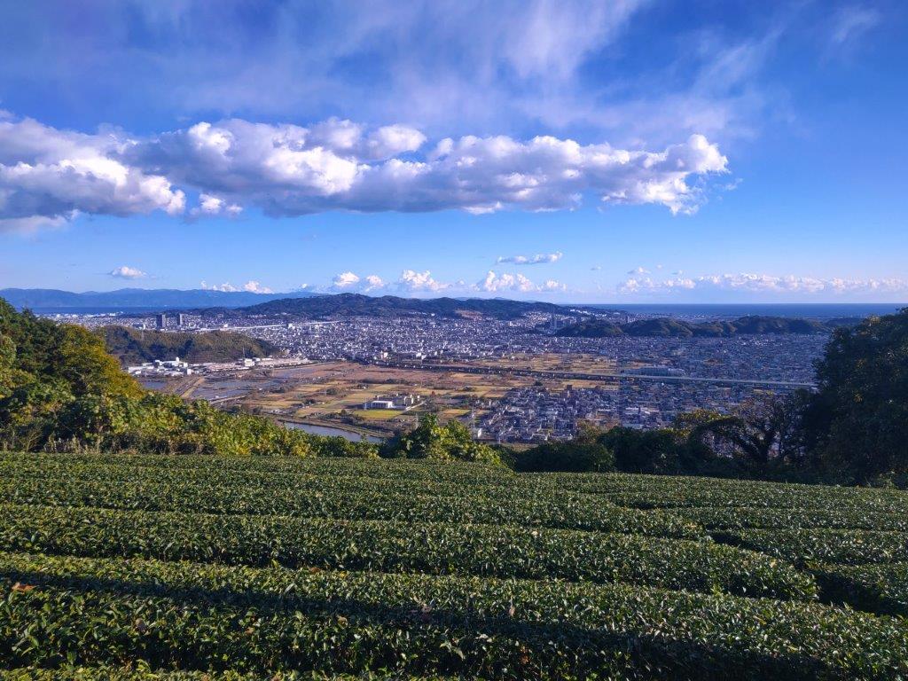
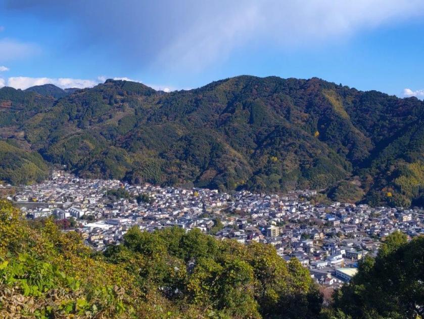
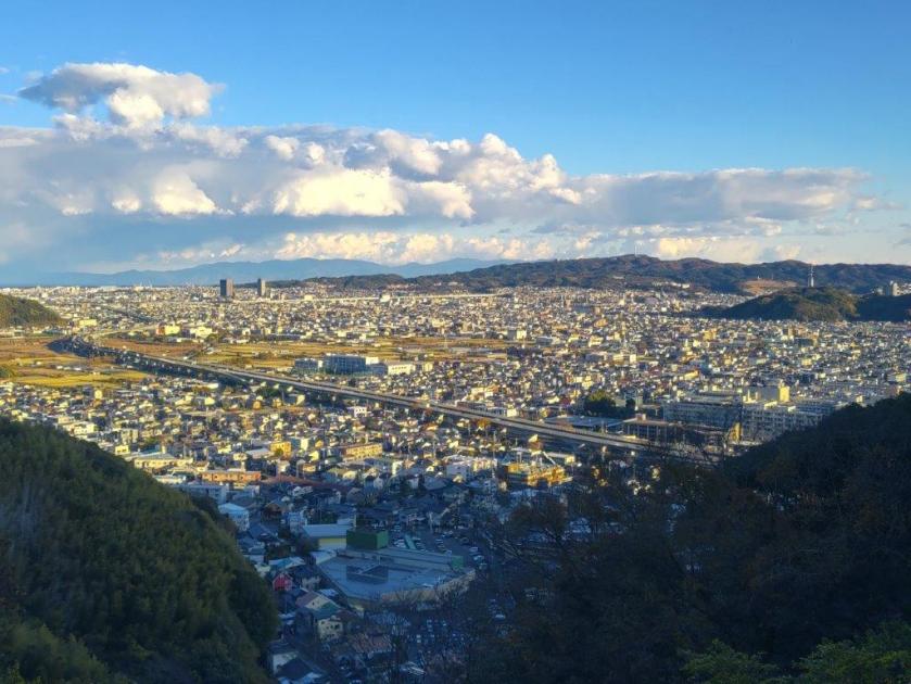
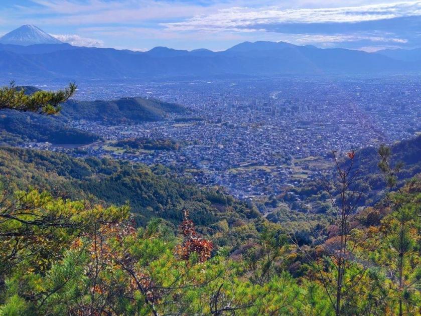
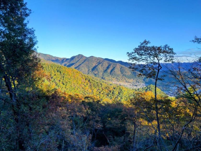
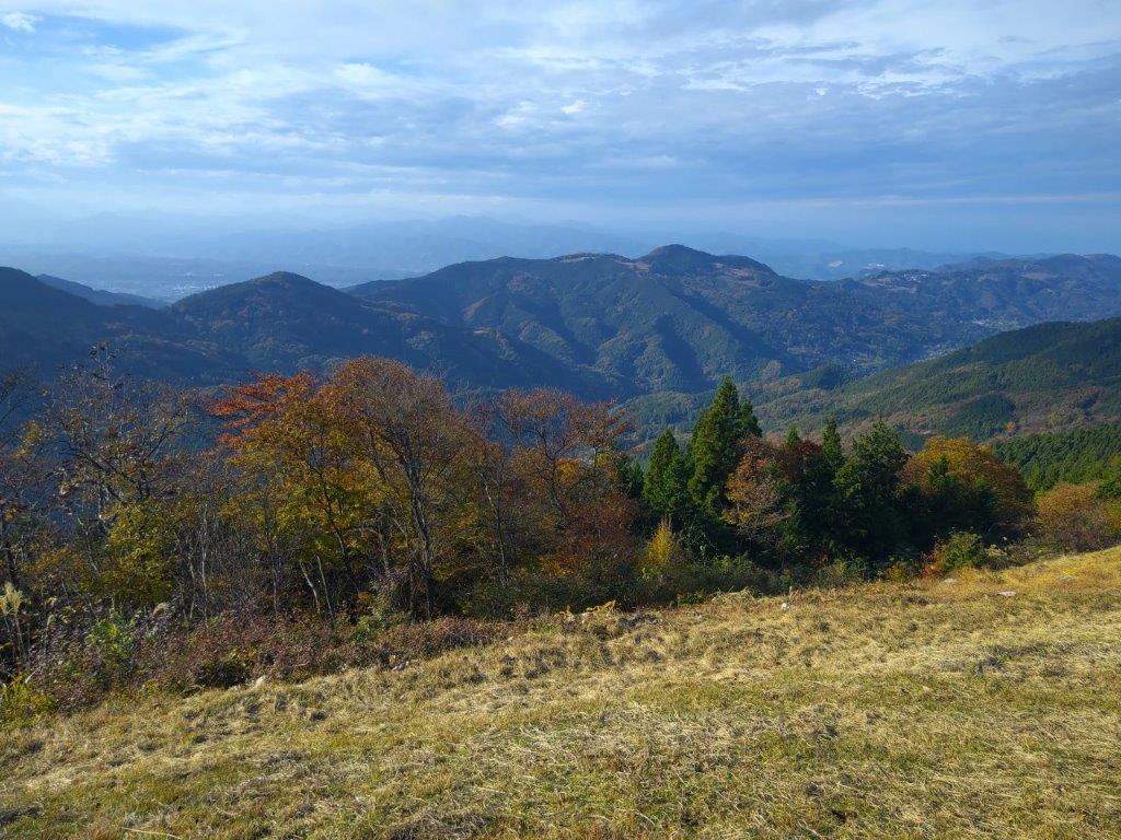
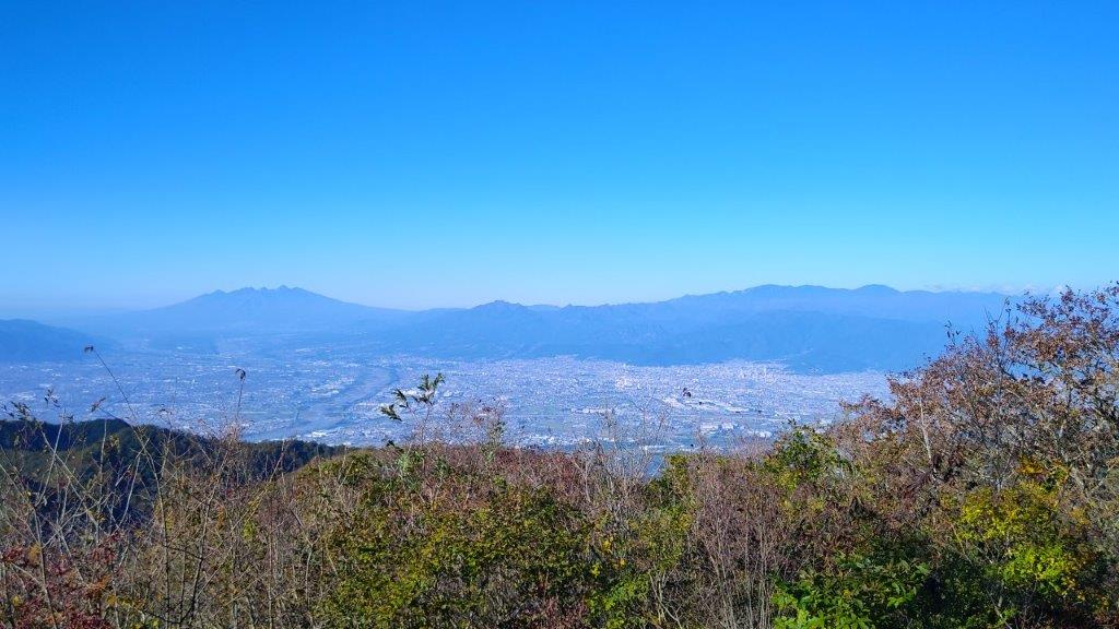
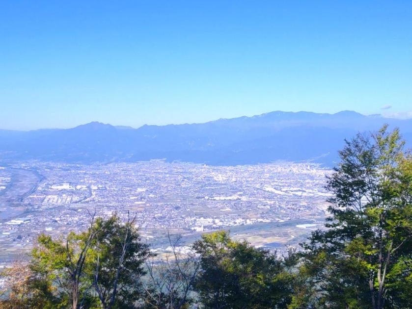
Looking eastwards, I could see all the way to the mountains of Izu peninsula; in front was Nihondaira, and to the south, Suruga Bay, with Shizuoka city filling in the low-lying spaces between the mountains and the ocean. I set off again, and after a short climb, reached Fukunari Shrine at the top of Mt Fukunari (福成山 ふくなりさん fukunari-san) at 1pm. It was mostly in the trees, with a window view of Abe river through a gap on the west side. I continued on my way, heading slightly downhill, and soon arrived at a bench and a second viewpoint, mostly of Shizuoka city on the south side. I pushed on a little further, and reached another bench and a third viewpoint.
View East of Asahata Village from the 1st Viewpoint

View West of Abe River from the 3rd Viewpoint
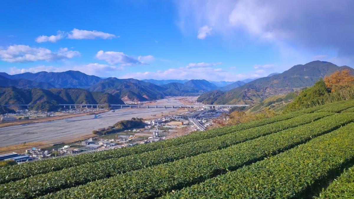
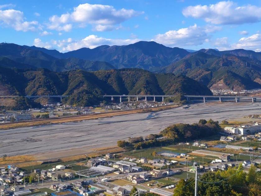
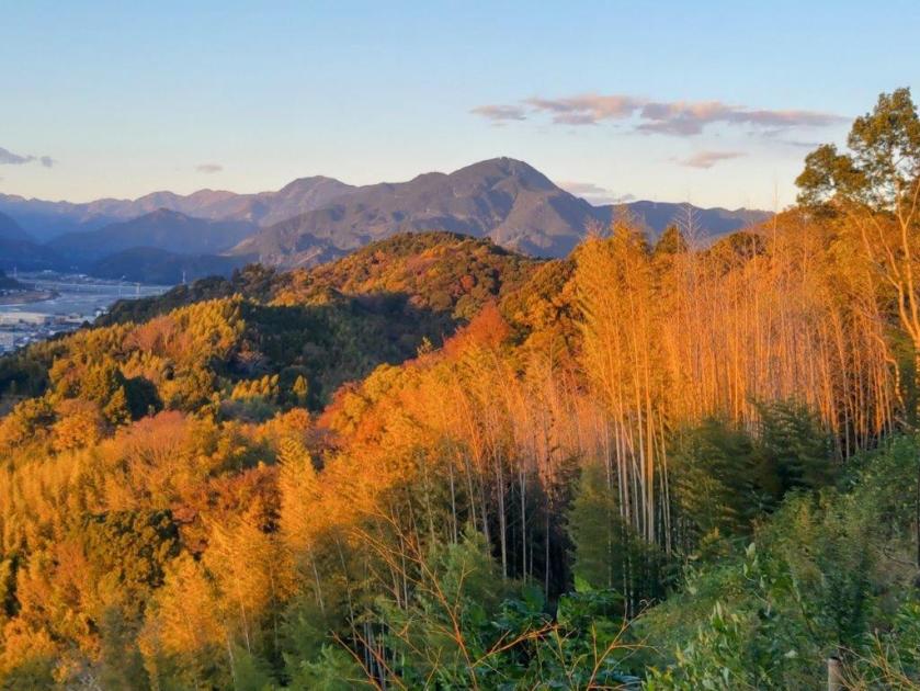
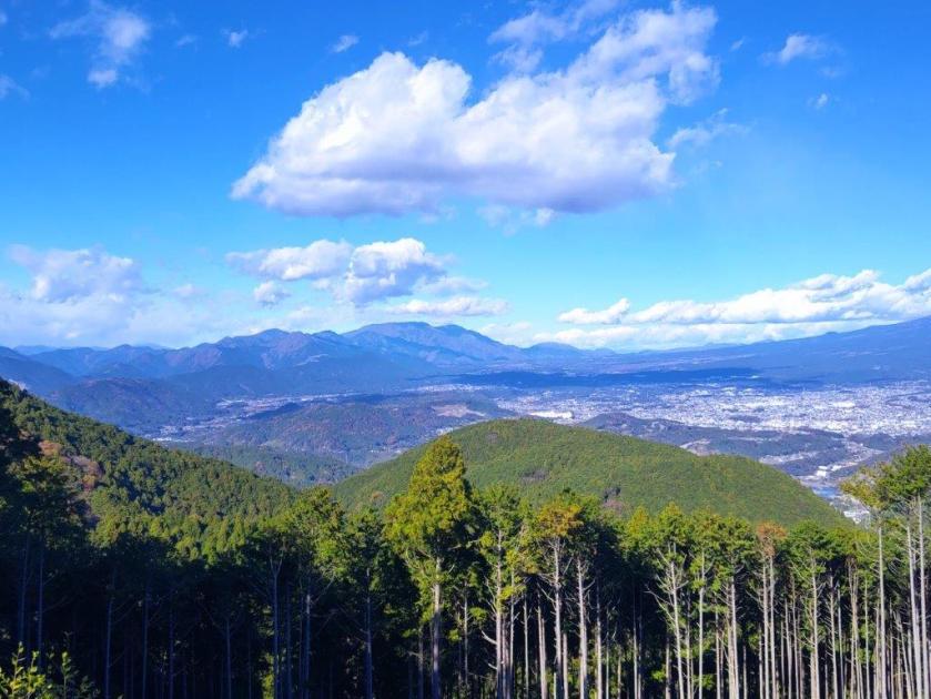
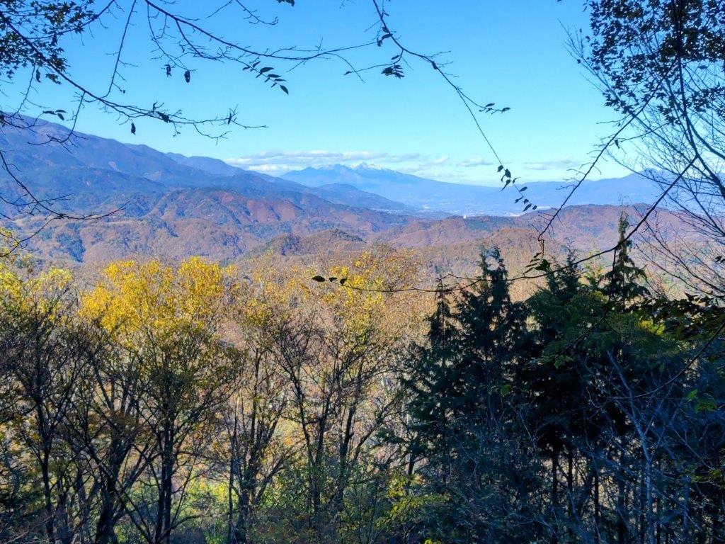
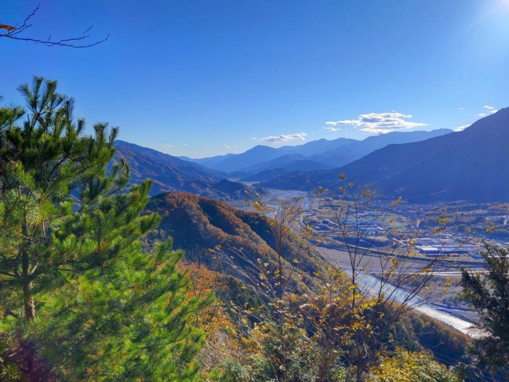
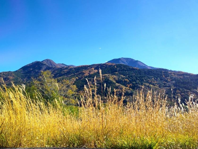
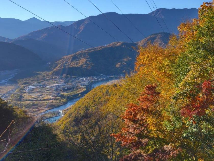
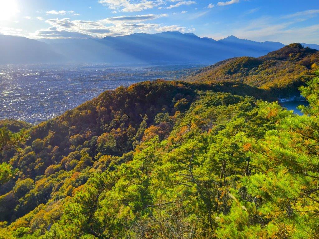
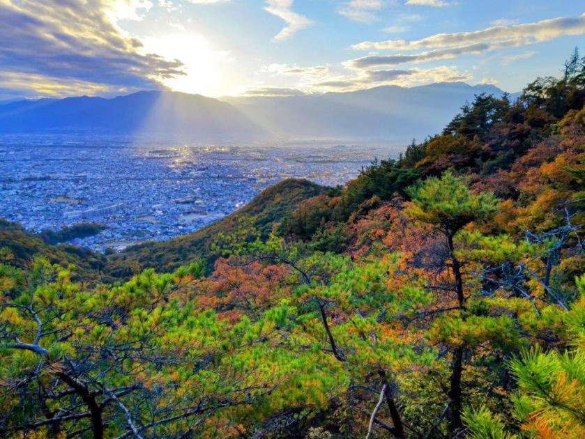
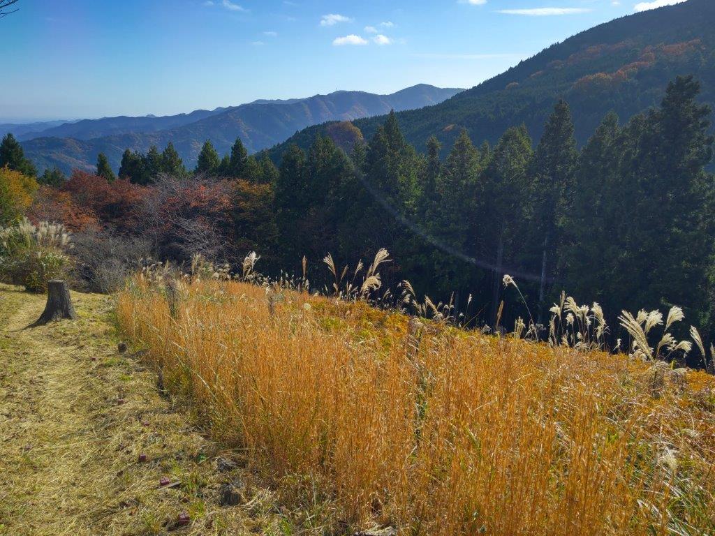
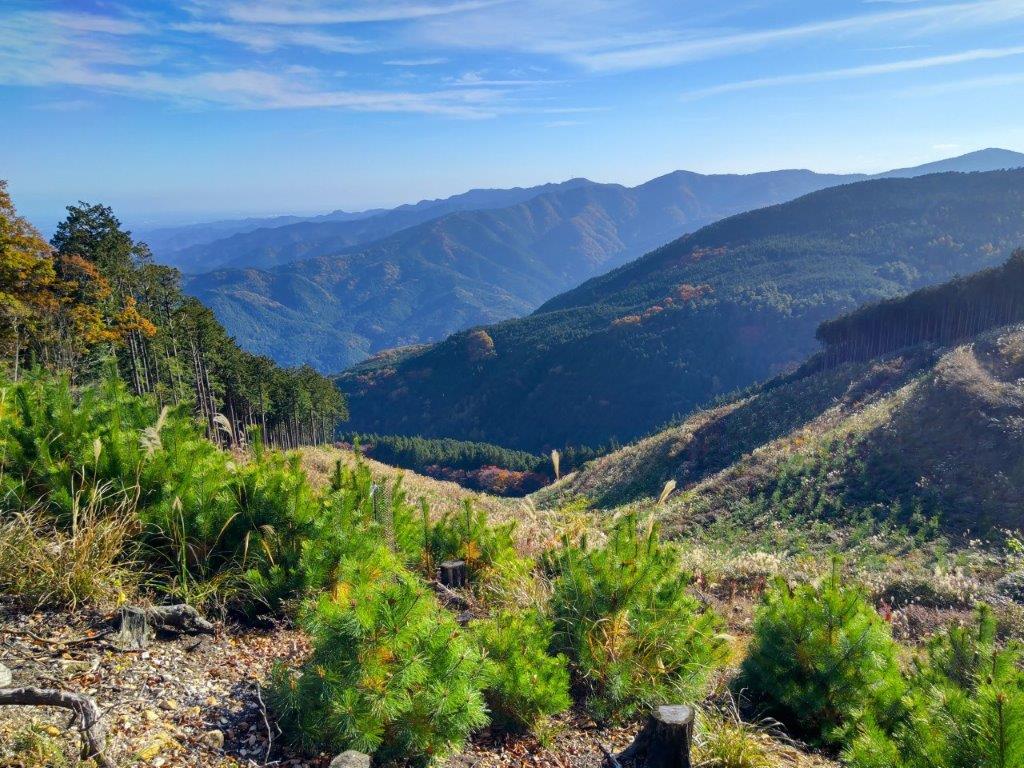
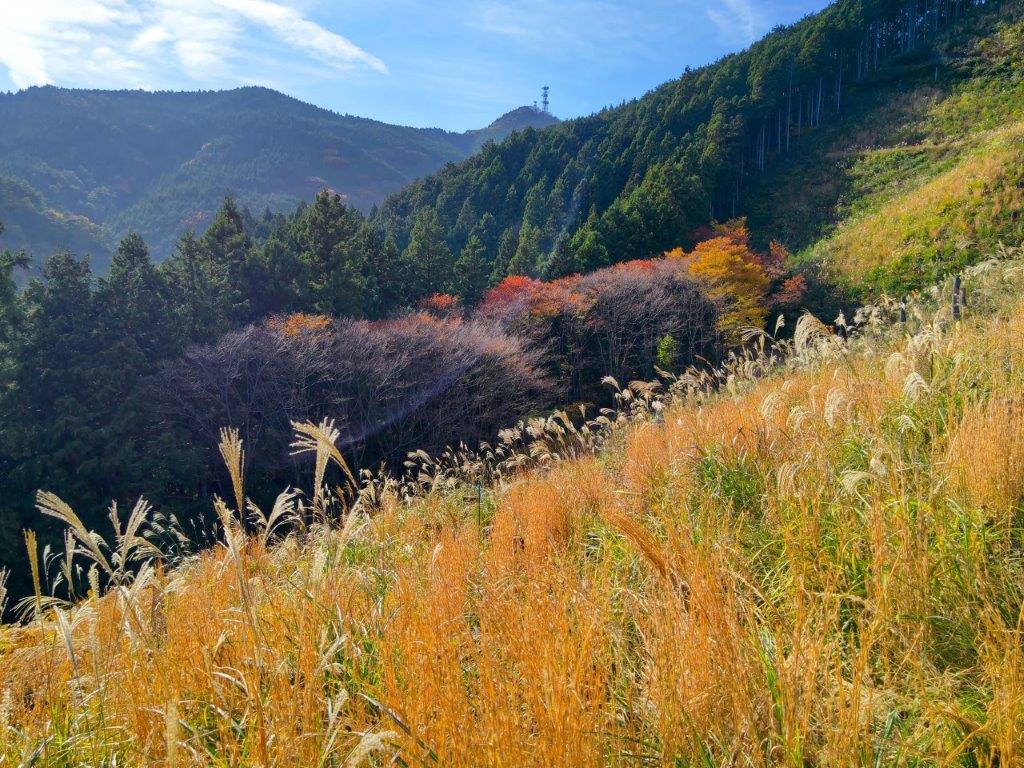
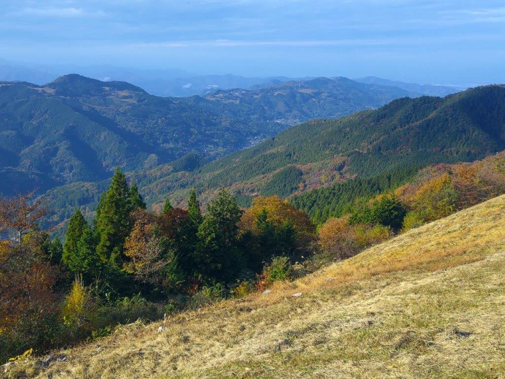
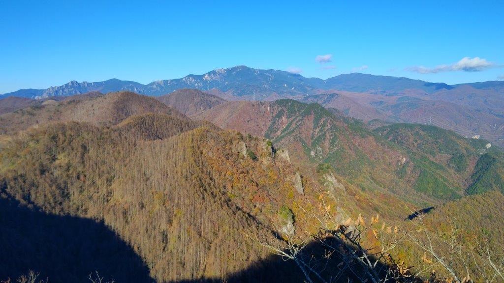
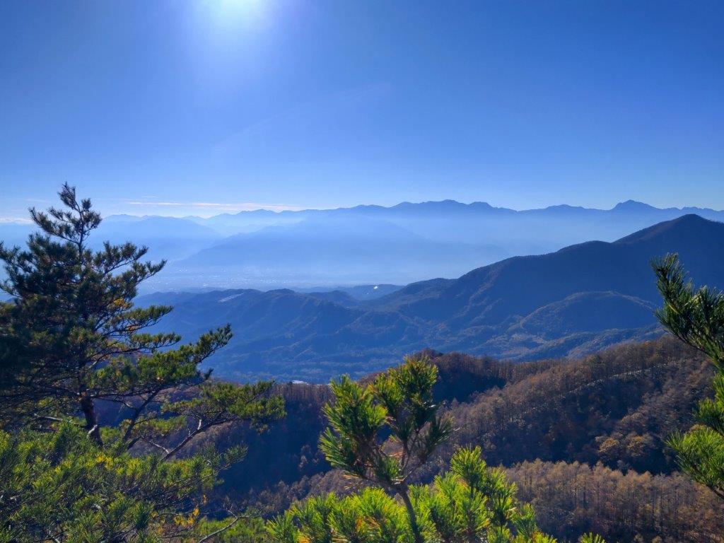
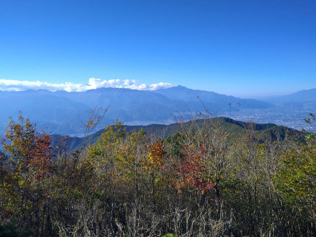
I had a better view of the Abe river valley than from the summit, and since this bench was in the sun, I decided to take a break for lunch. I set off again, a little before 2pm, and soon found myself ascending through tea fields, typical scenery of Shizuoka prefecture. Thanks to the low tea bushes, a wide view soon opened up on the west side. To the north, was Mt Ryuso; to its left, I could see the multiple mountain ranges of the Southern Alps, one tall peak in the very center already white with snow; from this mountainous mass emerged the Abe river, passing under the busy Shin-Tomei expressway.

Row of Trees Separating the Tea Fields

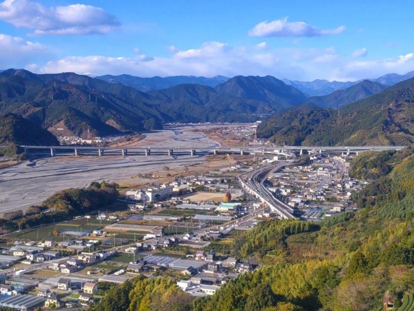
View of Abe River and the Shin-Tomei Expressway from Mt Tanku
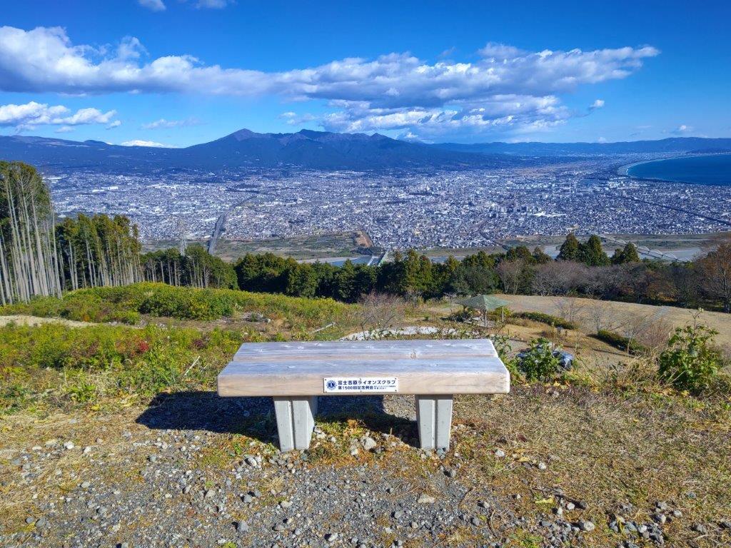
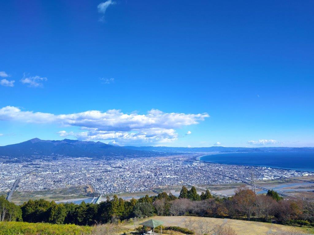
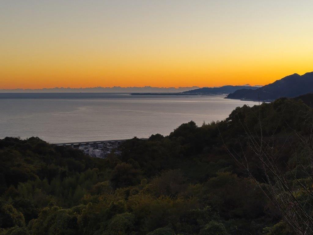
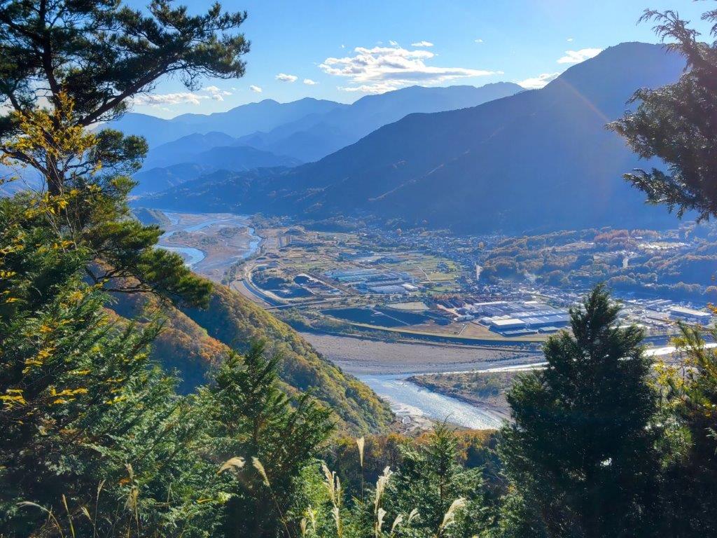
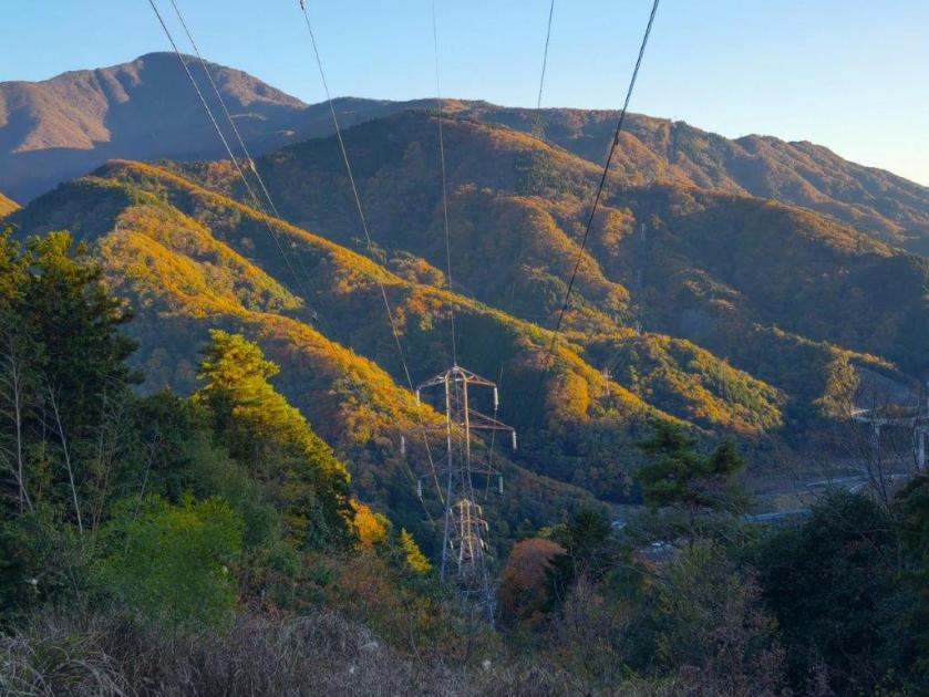
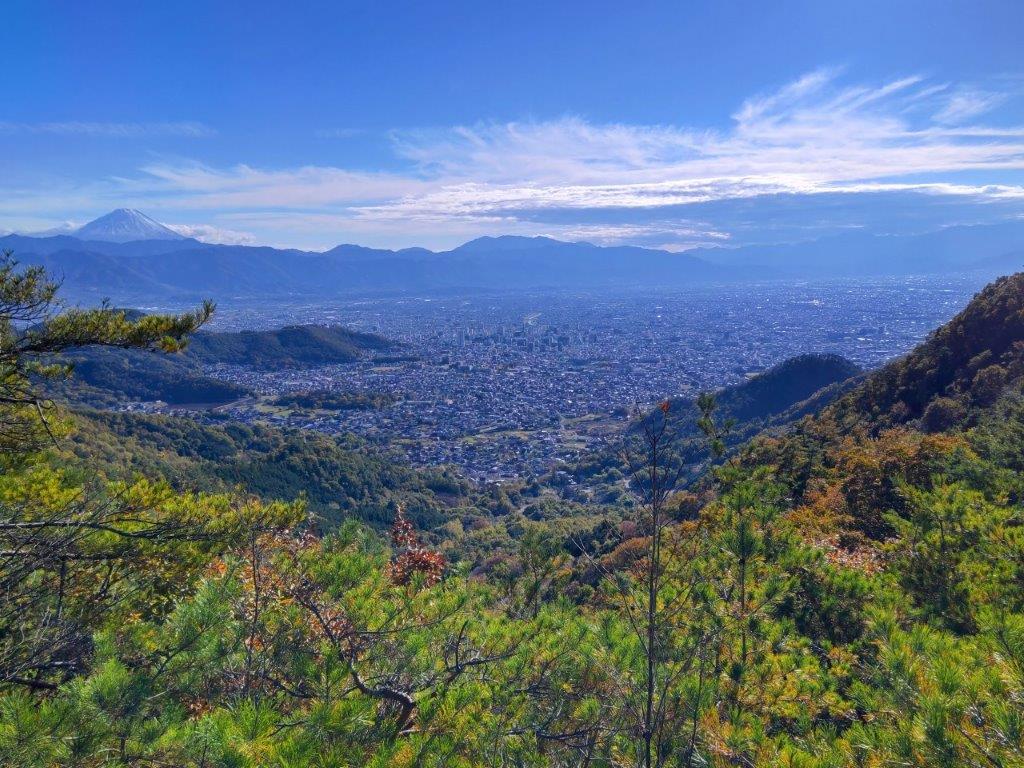
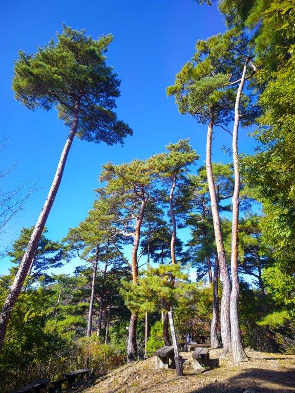
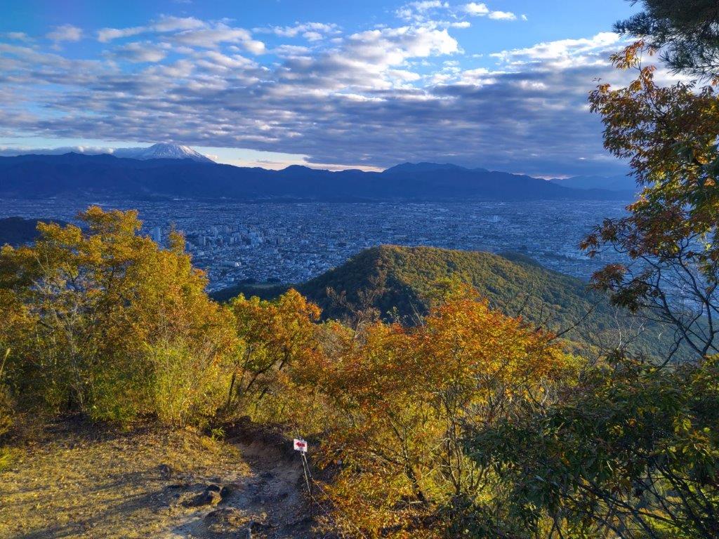
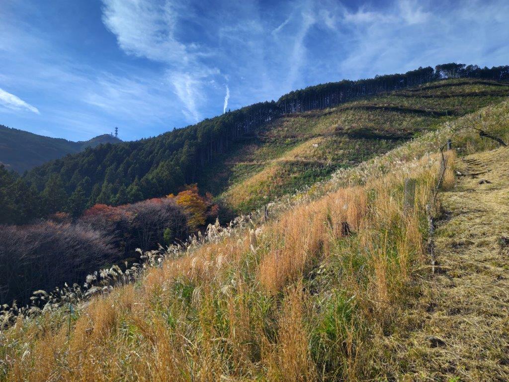
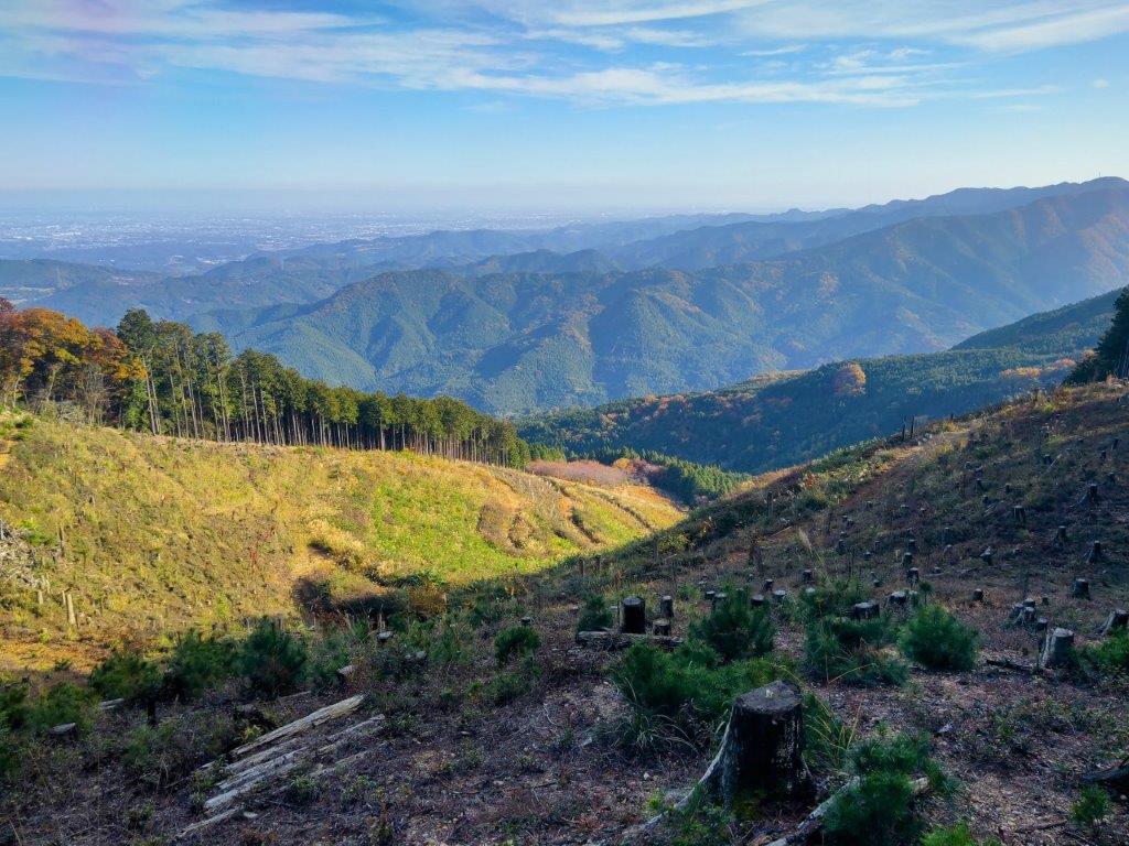
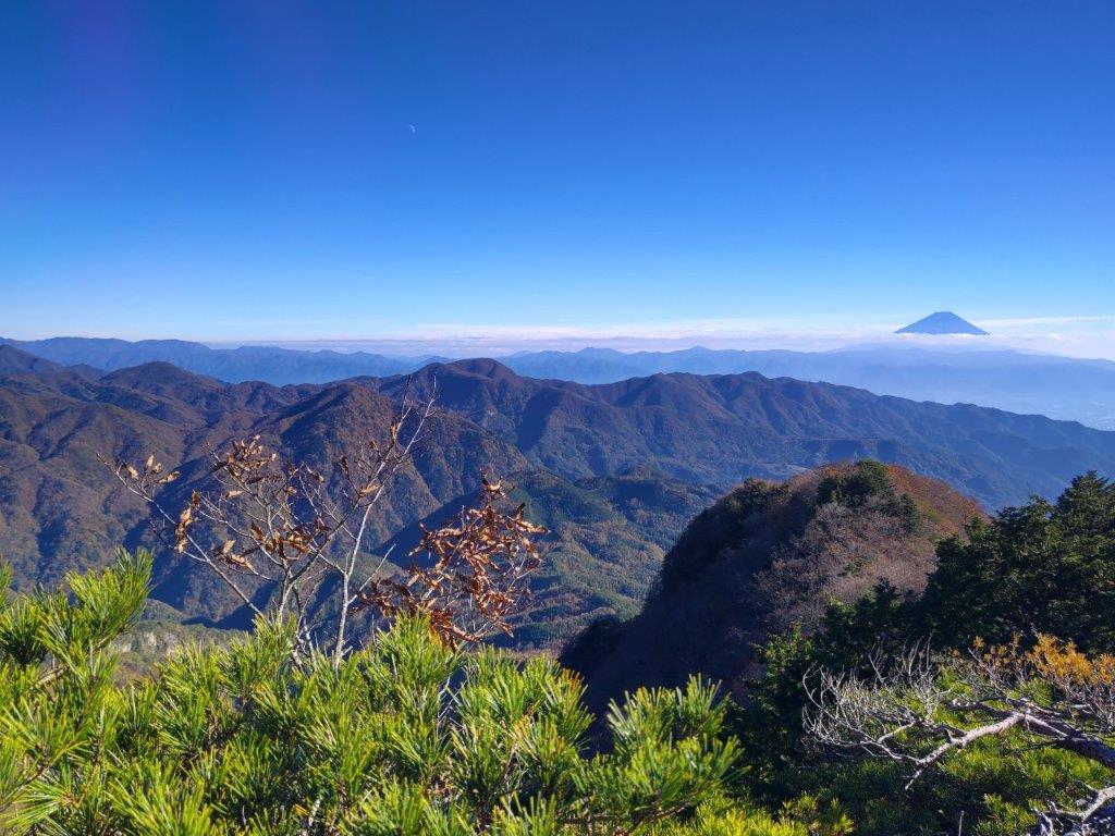
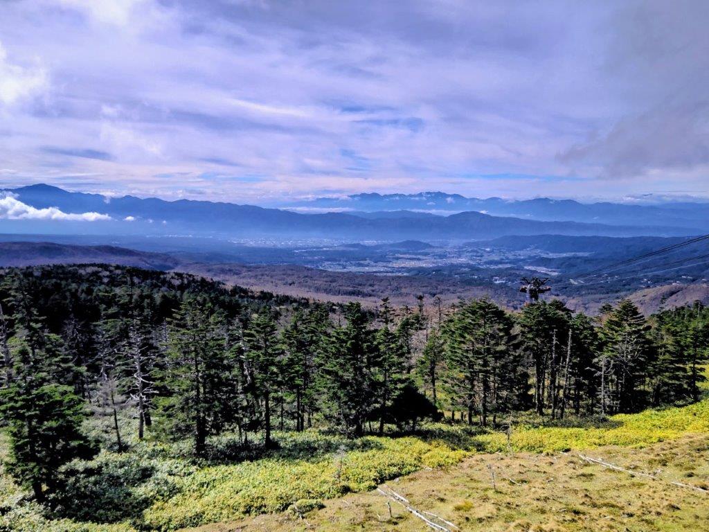
It was easily the best view of the day; it was also the coldest spot of the day, the wind blowing hard, a blast of cold air descending from the Alps, bringing dark clouds in its tow. I arrived at a concrete platform with a bench and a view on the east side, the culminating point of the surrounding tea fields. It was next to a large cylindrical storage tank, and was thus called Mt Tanku (タンク山 229m), although a summit marker seemed to be missing. I had a panoramic view of the Izu peninsula, Nihondaira, Suruga Bay and Shizuoka city; just Mt Fuji was missing from the picture. It was nearly 3pm, and I hadn’t reached the halfway point, so I stepped up the pace. The next part was mostly level, with frequent views on the east side through gaps in the vegetation.

Mt Ryuso, Tea Fields and Dark Clouds
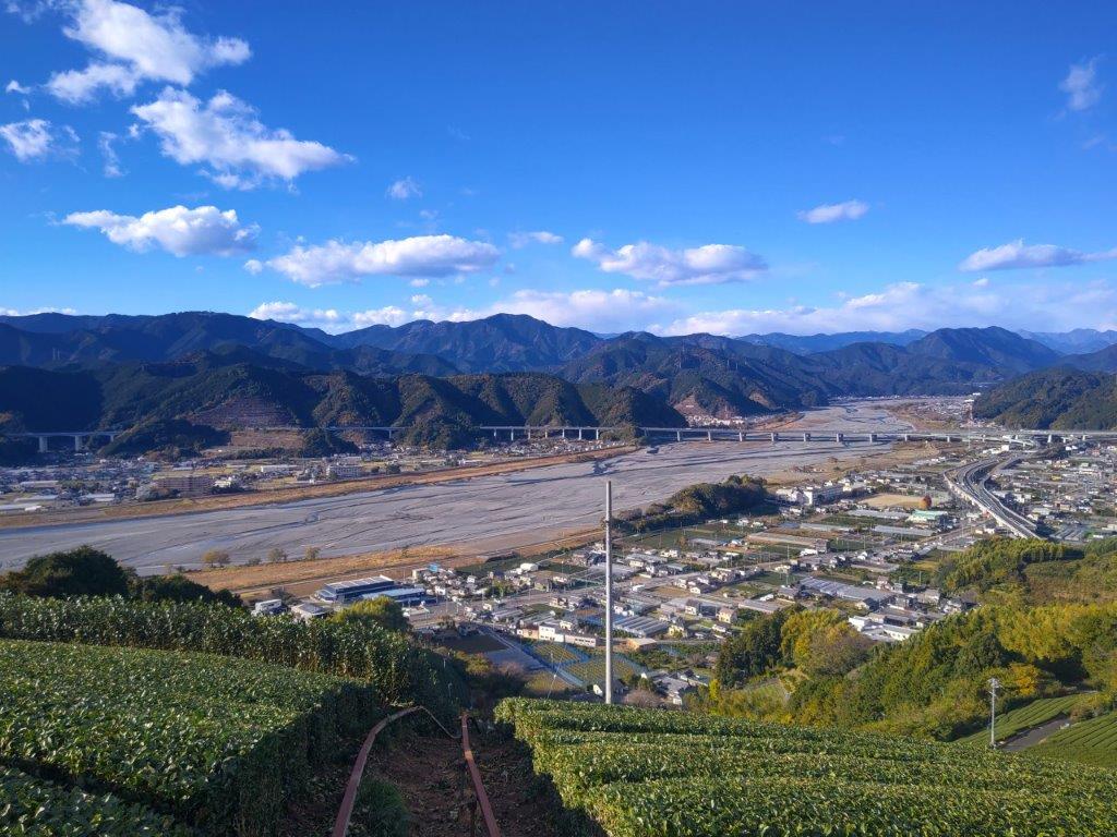
View from Mt Tanku of the Southern Alps
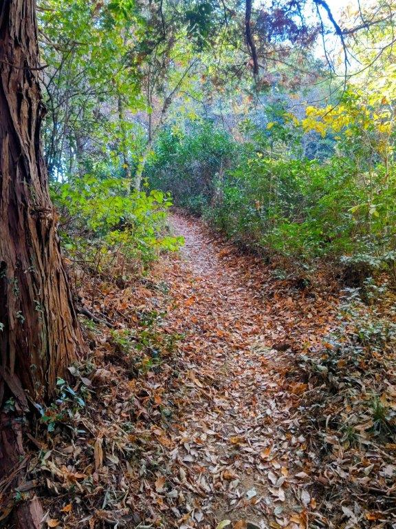
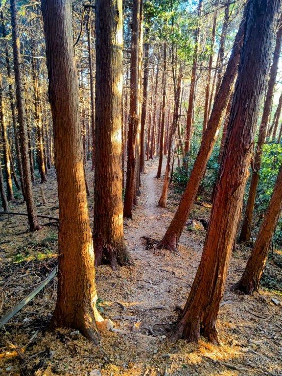
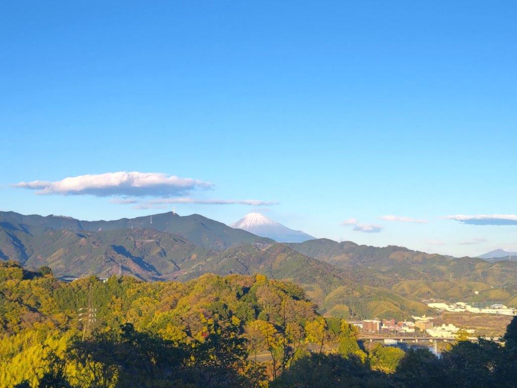
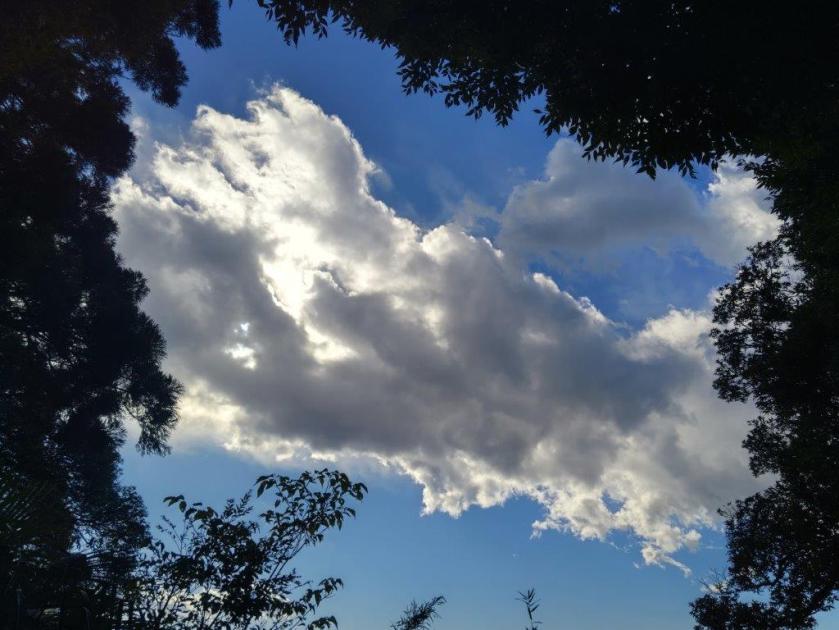
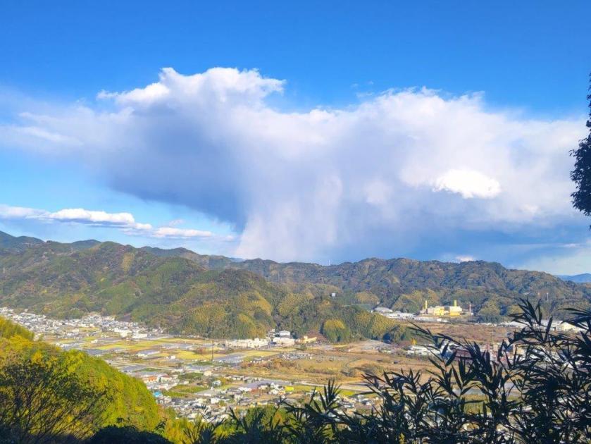
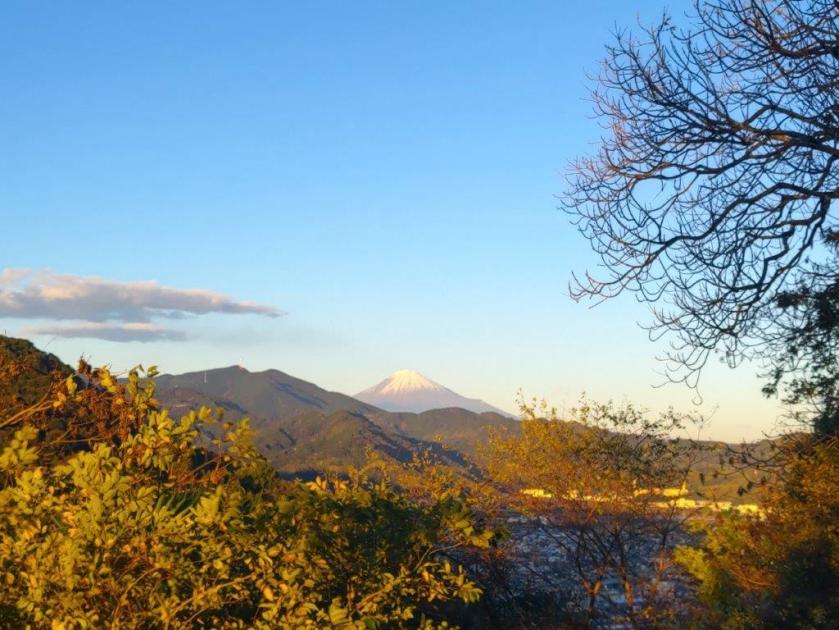
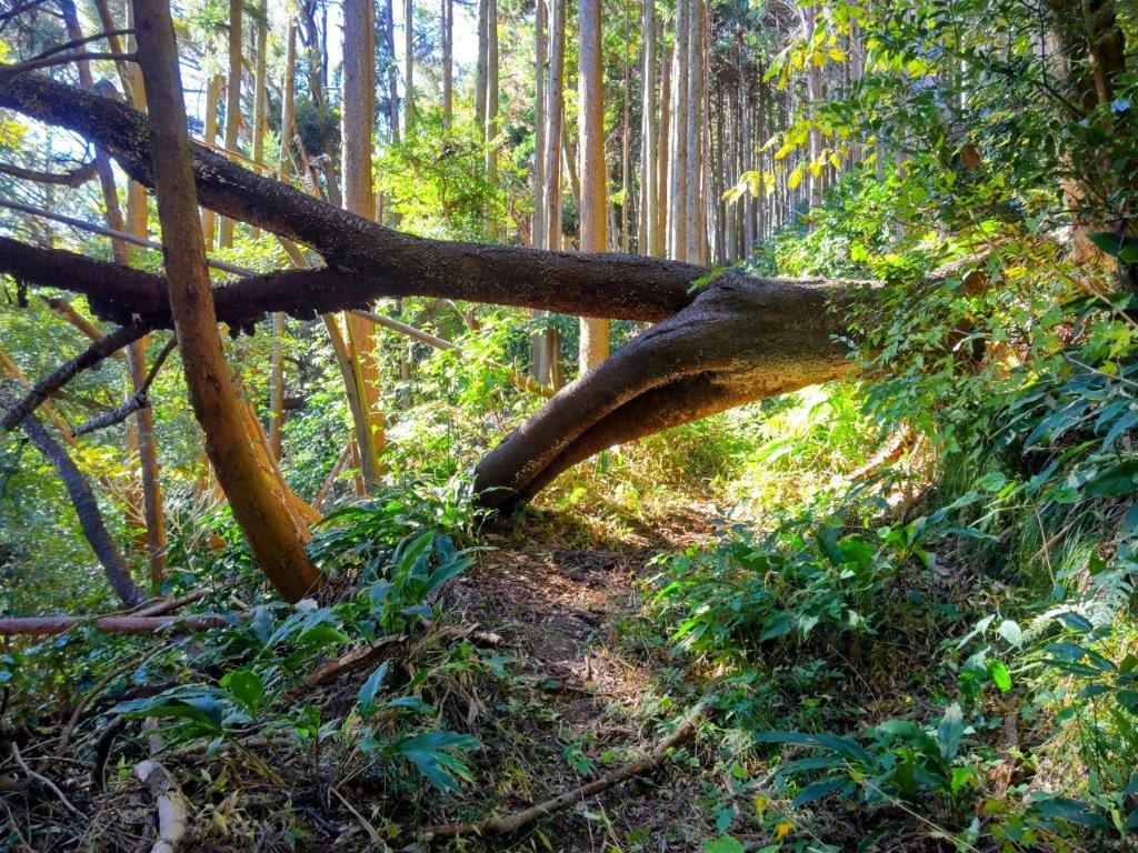
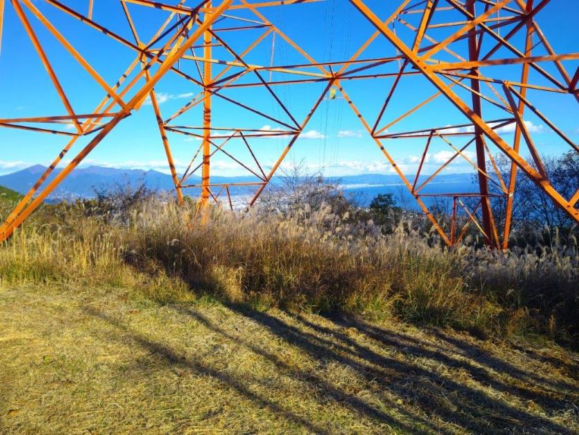
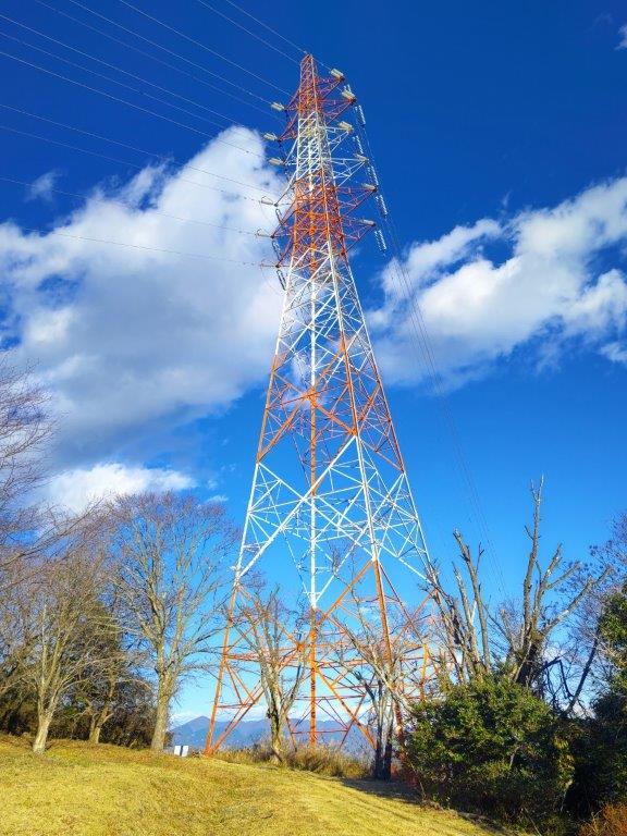
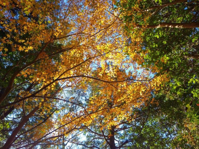
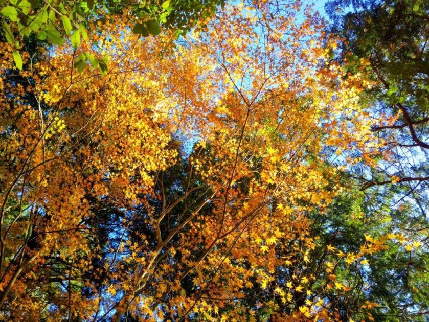
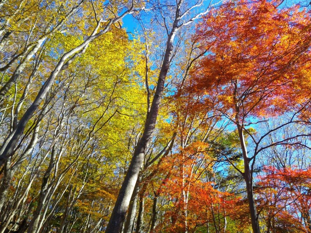
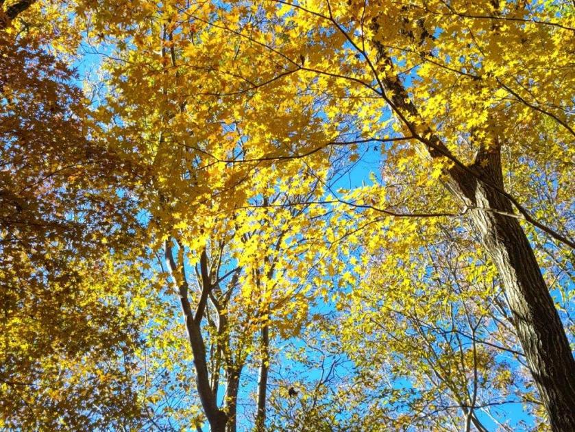
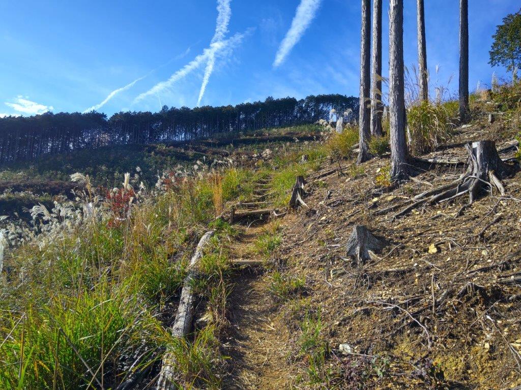
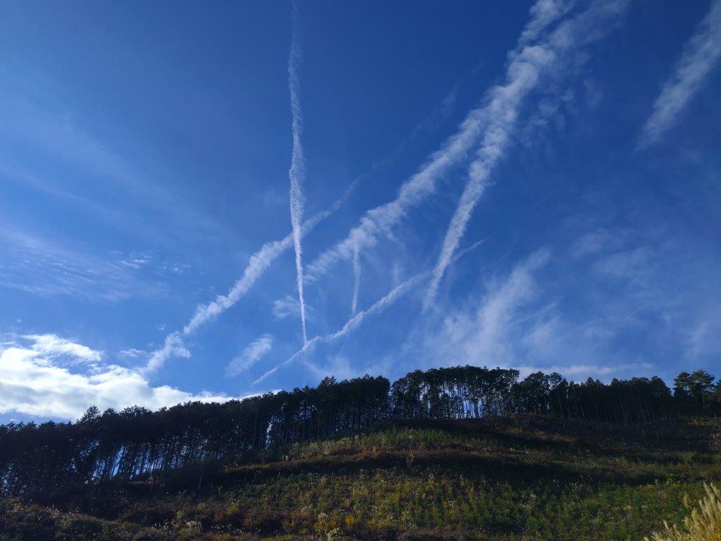
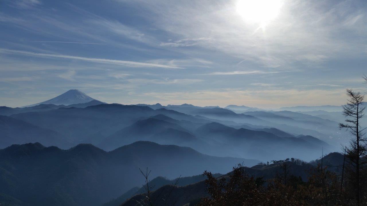
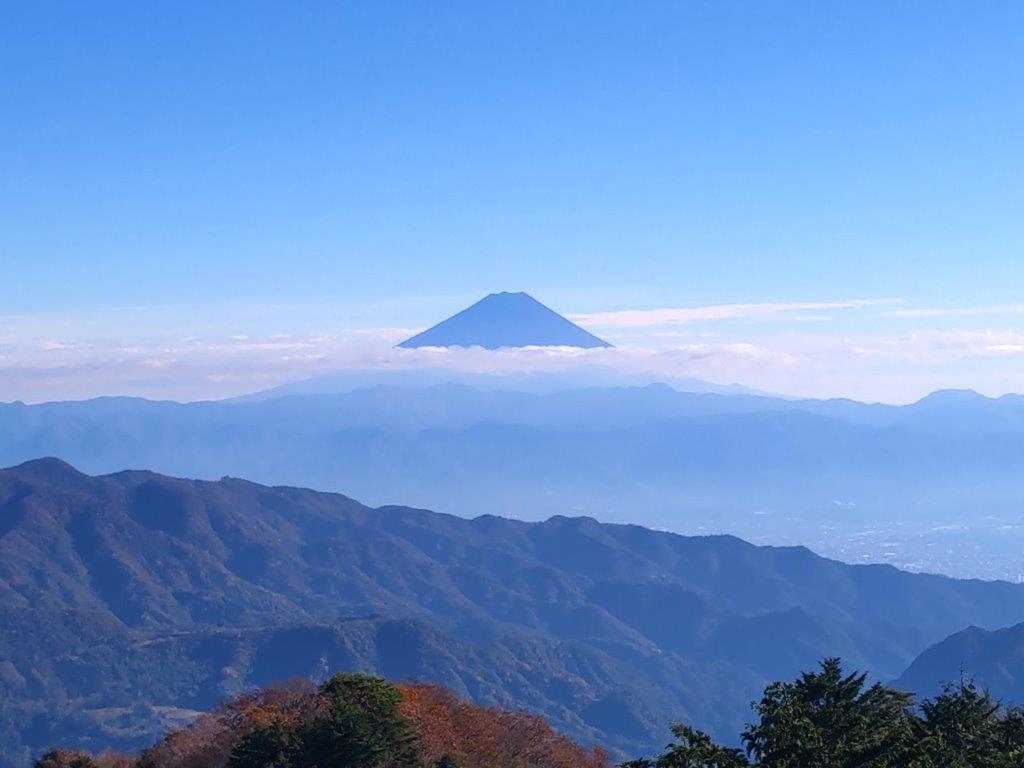
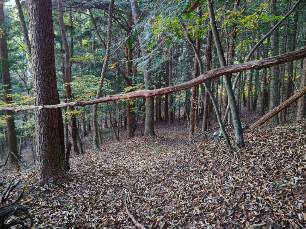
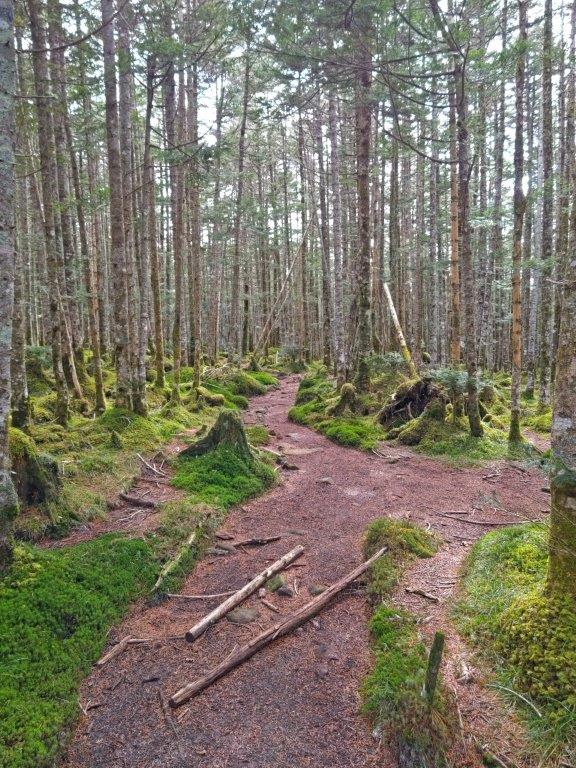
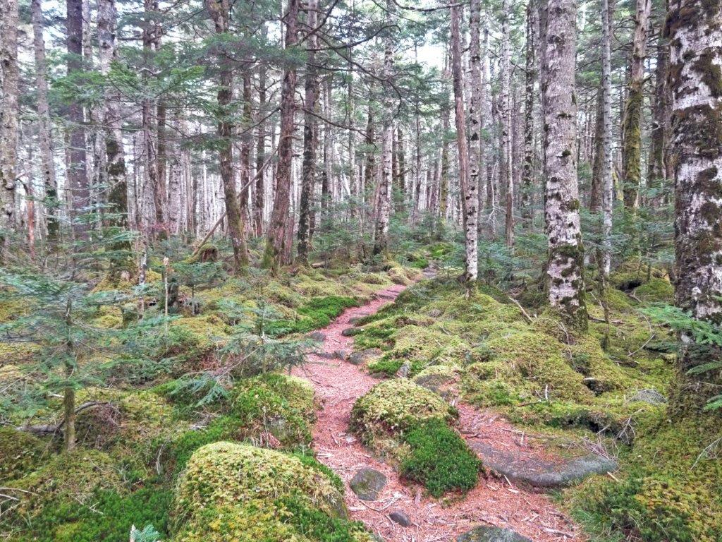
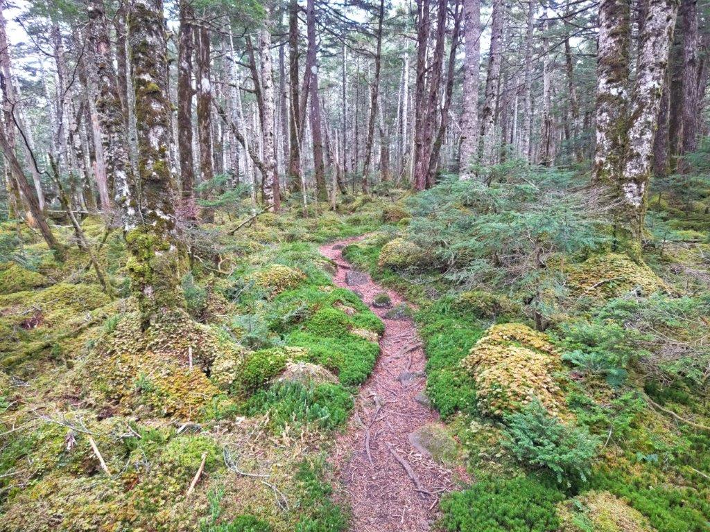
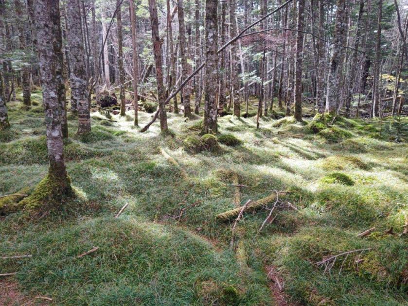
I noticed a mushroom-shaped cloud formation above the next ridgeline, a sudden downpour created by the influx of cold air from inland, a lucky escape for me. I left the tea fields behind and was once again walking through the forest. I was surprised by the variety of trees, very different from the monotonous cedar forests in other hiking areas; hanging between the branches were the ever-present jorogumo spiders still alive and well, despite the cold. After passing an electric pylon and some more orchards, I reached a road. Here, beyond the orange mikan, I had my first view of Mt Fuji, half-hidden by the clouds. I followed the road for a short while before rejoining the hiking path.

Bench with a View at the Top of Mt Tanku
Nihondaira and Shizuoka City from Mt Tanku
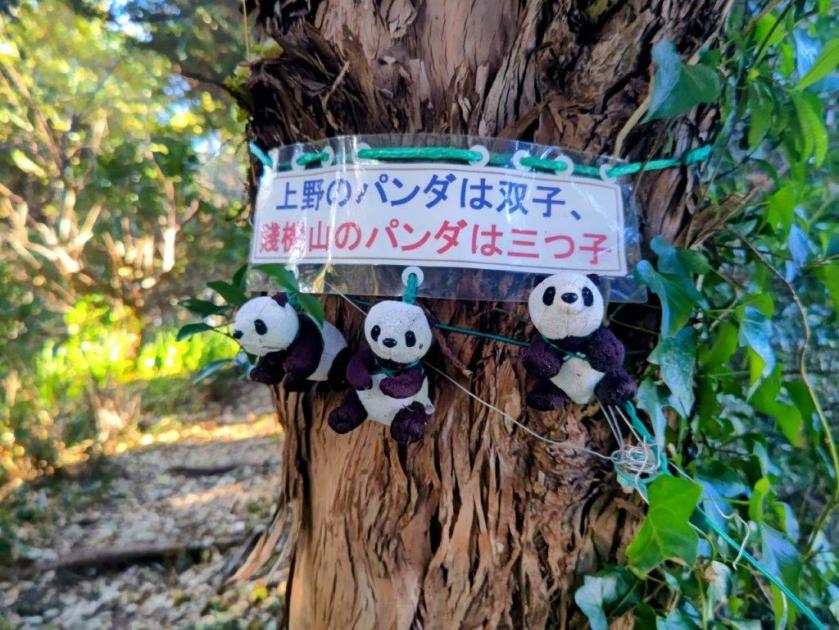
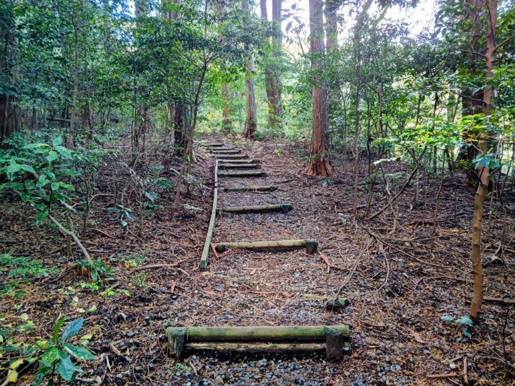
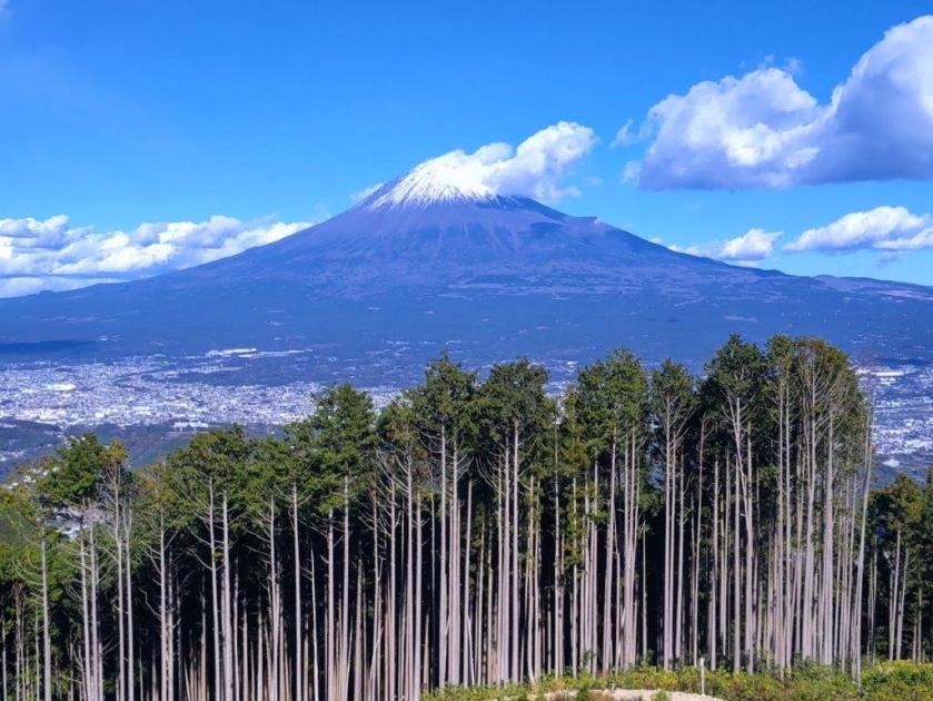
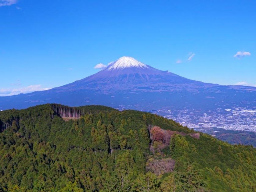
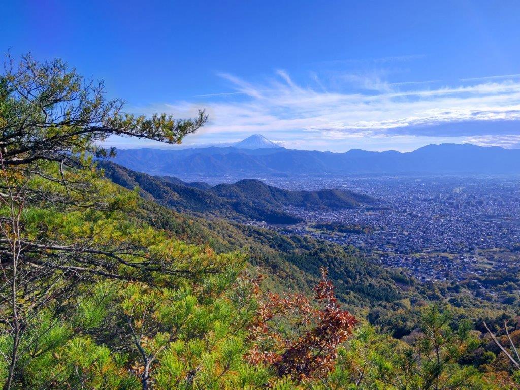
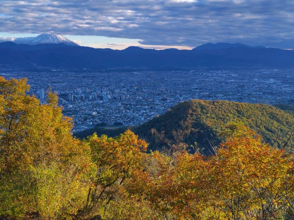
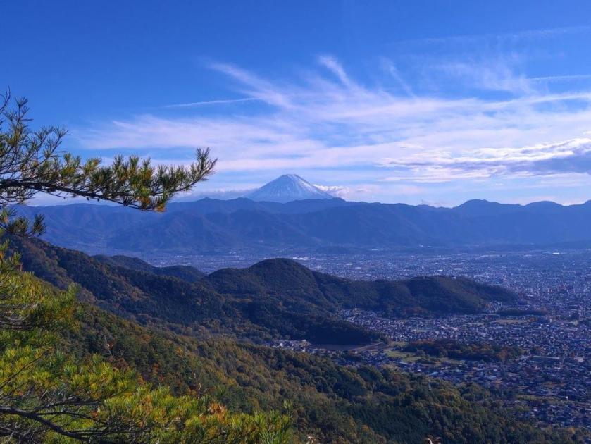
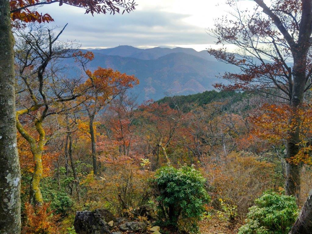
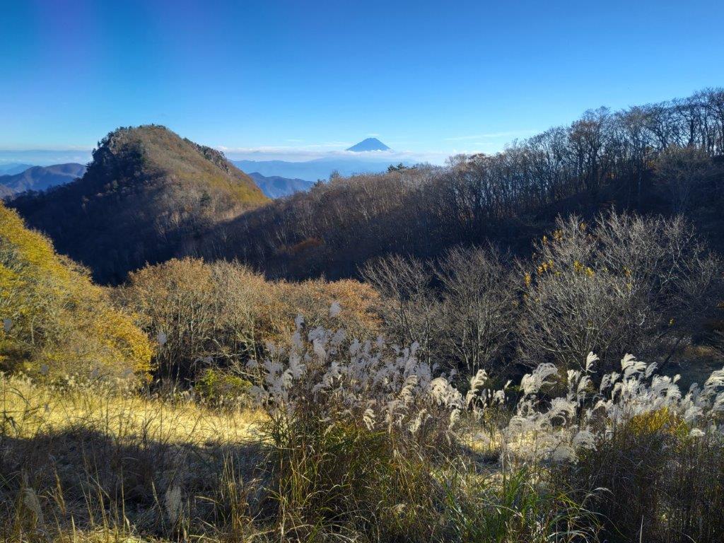
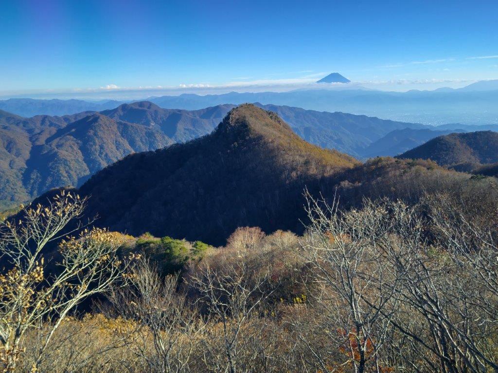
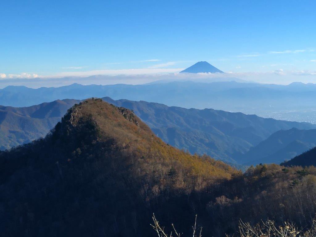
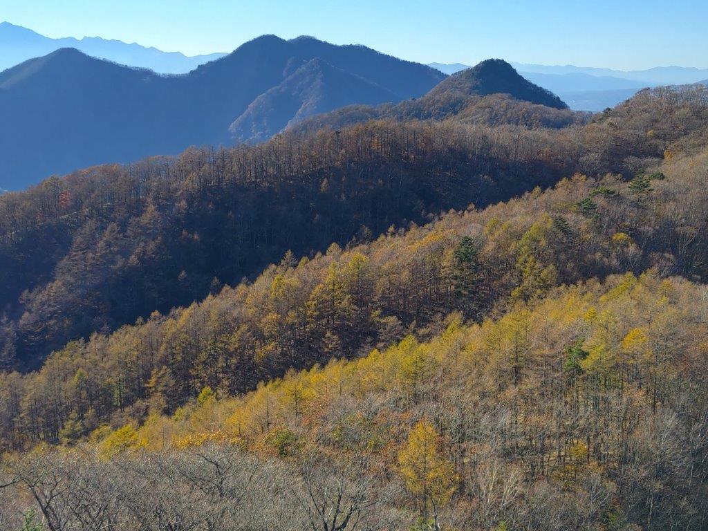
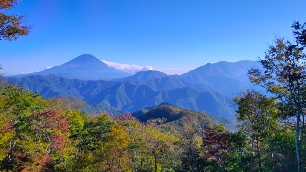
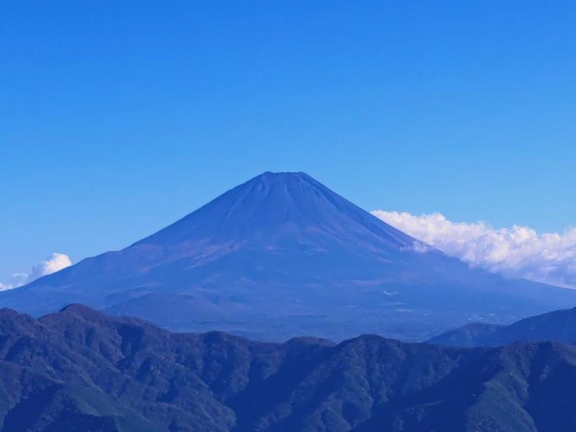
Great views, now including Mt Fuji, kept on appearing on the east side, slowing my pace. After passing 3 panda figurines hanging from a tree, I reached another road section heading up, but soon left it for path with plastic tubes for steps, leading to Ipponmatsu (一本松 192m), meaning “One Pine Tree”, which stood all by itself on the north side. From this vantage point, I could admire the ridgeline I had walked so far today, with Mt Ryusu rising directly behind; to its right was Mt Fuji, its famous snowcap now free of clouds. It was nearly 4pm, and I still had a third of the way to go, so I turned away from the view and headed down a path in the opposite direction.

Mushroom-Shaped Cloud on the Next Ridge

Mt Ryuso and the Mt Shizuhata Hiking Trail from Ipponmatsu
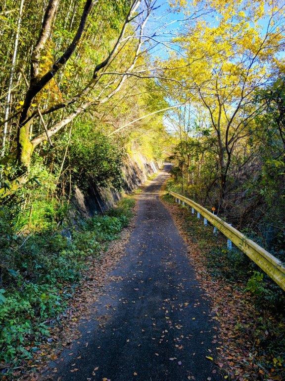
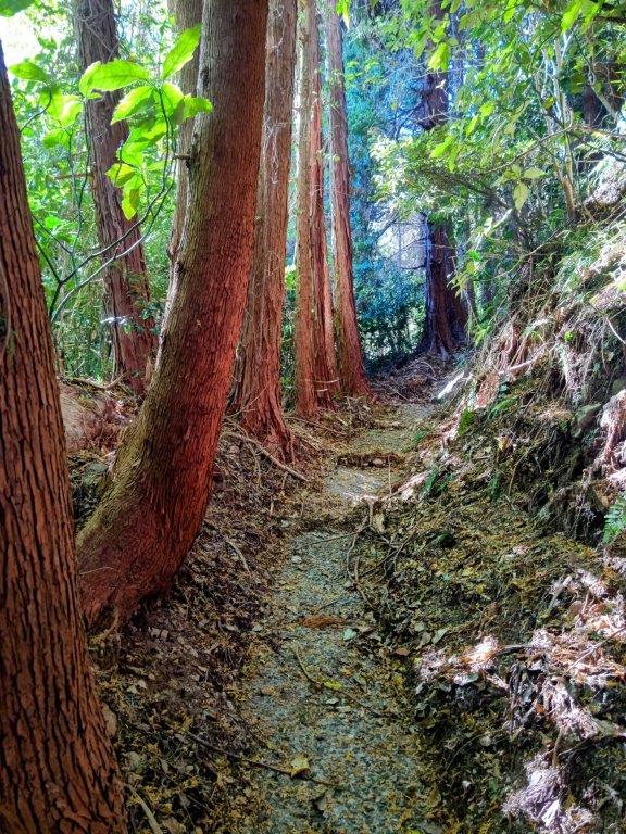
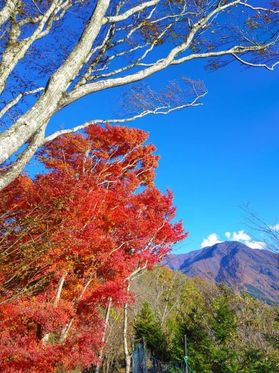
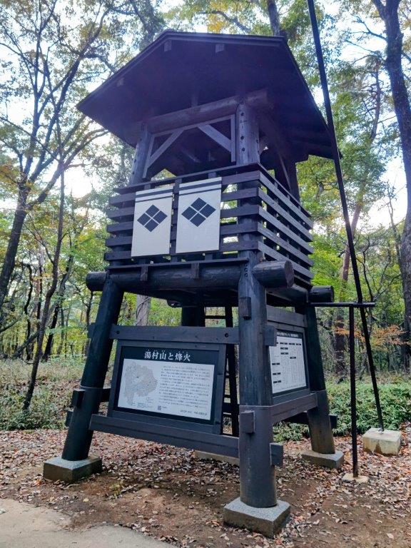
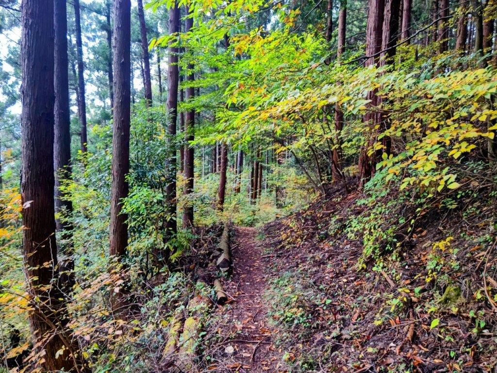
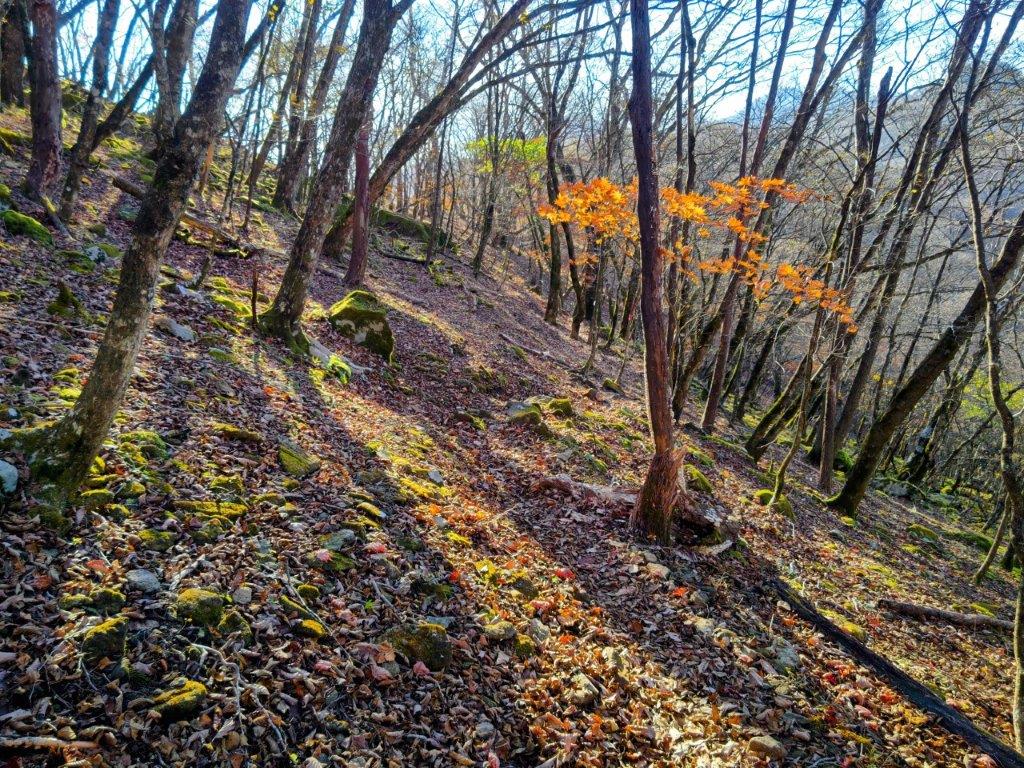
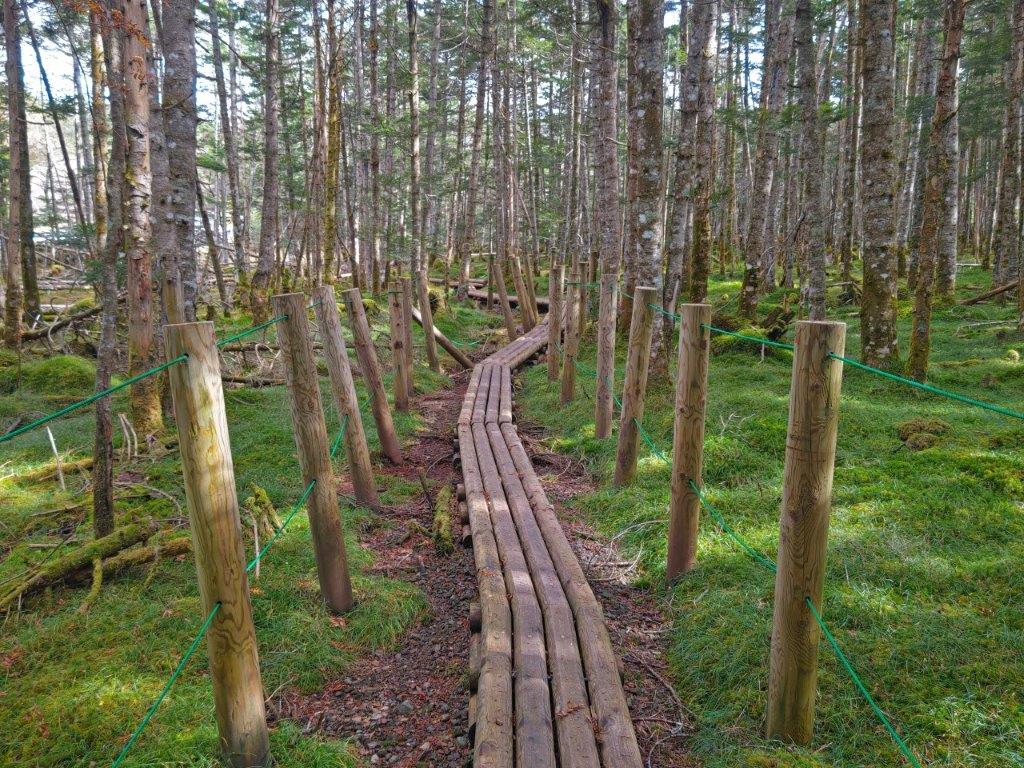
The late afternoon sunlight created a wonderful effect as I headed down some log steps facing westwards, although it also signaled that sunset was imminent. At another viewpoint with a bench, I saw the sun touching the opposite ridgeline, the Shin-Tomei expressway simply a yellow line along the valley; in the other direction, Mt Fuji was clearly visible and starting to turn pink. I continued up a steep trail, requiring one final effort to get to the top of Mt Shizuhata (賤機山 しずはたやま shizuhata-yama), also the remains of an ancient castle; apparently the “shizu” in Shizuoka comes from this mountain’s name. It was mostly in the trees so I soon moved on, along a level trail with wide open views on the west side.
Mt Fuji from Ipponmatsu
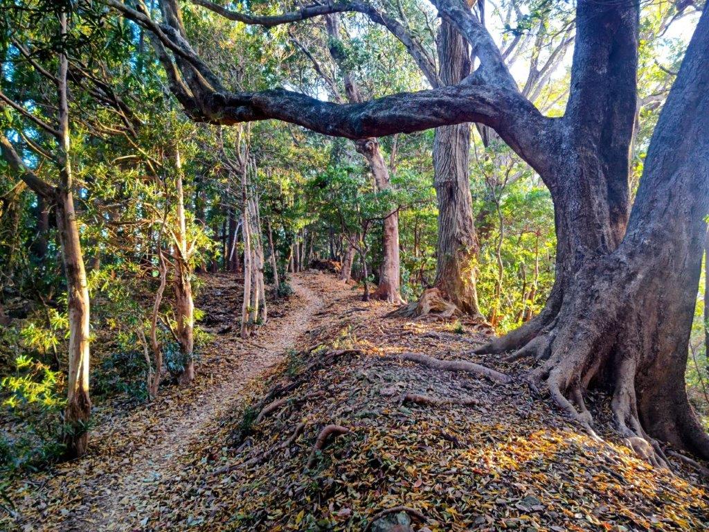
Trail between Ipponmatsu and Mt Shizuhata
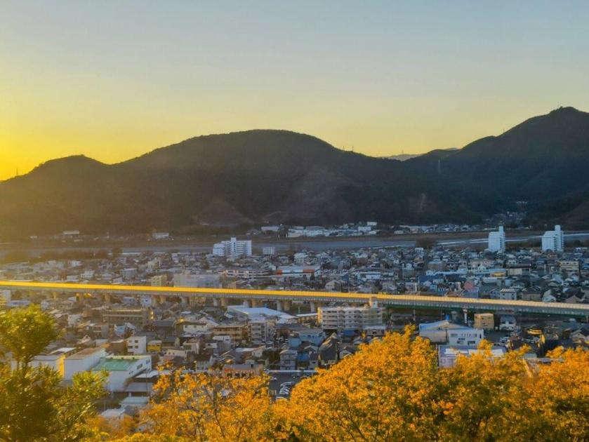
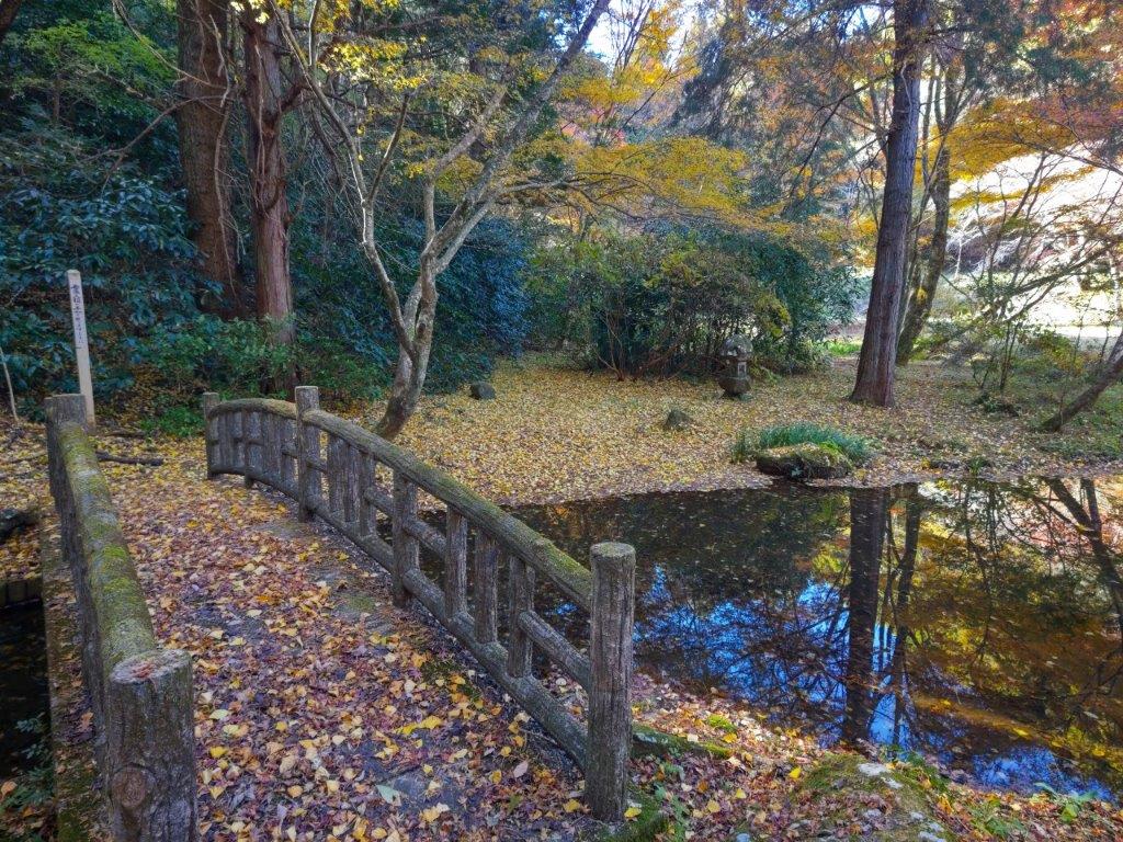
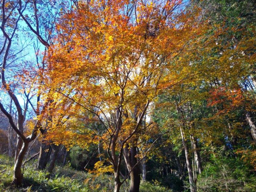
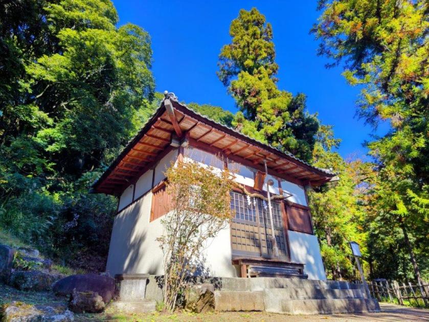
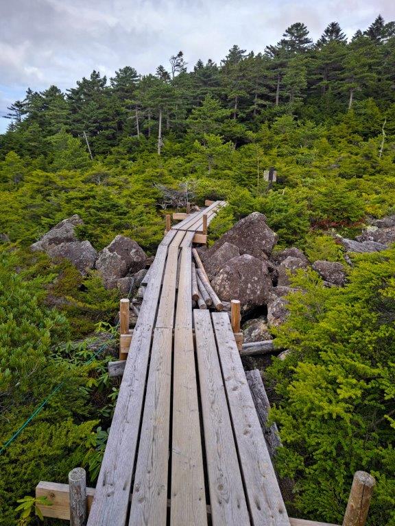
Turning around, I was stunned by the orange colours on the mountain side, highlighted by the fast setting sun. A little further on, I had another view of Shizuoka city on the east side, under pink clouds and a full moon. I quickened my pace, and after one final effort up a section crisscrossed with tree roots, forcing me to tread carefully in the growing gloom, I reached the top of Mt Asama (浅間山 140m). It was also inside Shizuhatayama park, with a paved path and occasional lampposts, meaning I could complete the hike safely even in dark conditions.

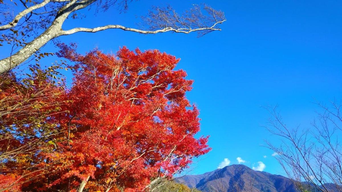
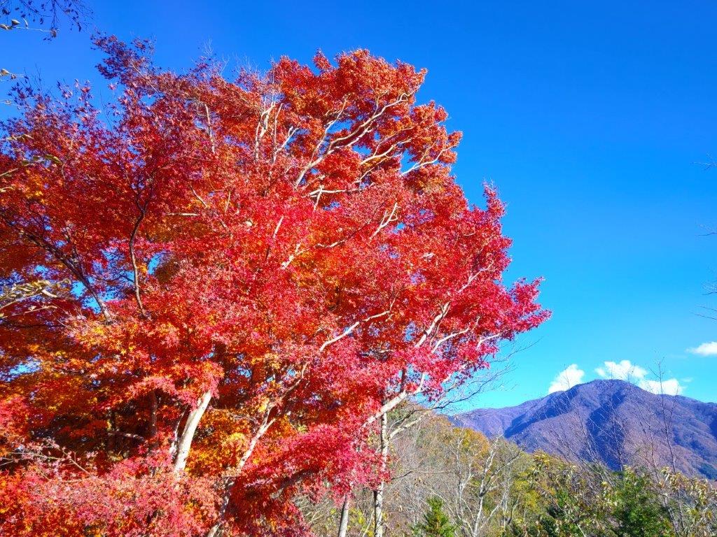
Autumn Colours Past Mt Shizuhata

Mt Fuji and Full Moon from Mt Asama
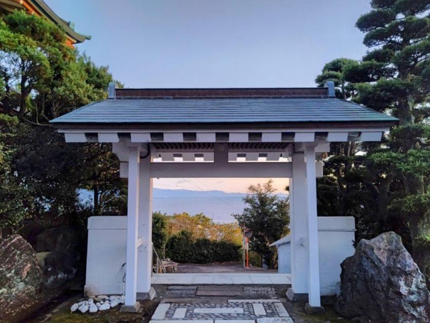
I had a breathtaking view of pink Fuji under a yellow moon, lights slowly coming on throughout the city spread out below, the last view of the day. It was past 4h30, so I quickly made my way down through the park, past Asama Shrine, the path enchantingly lit by lanterns, people still dropping by for a quick prayer in the early evening. At 5pm I emerged onto a busy road at the base of the mountain, and a short while later, arrived at Ofuro Cafe Bijinyu. After a reinvigorating hot bath, I caught a city bus for the short ride back to Shizuoka station, where I hopped onto the shinkansen for the one-hour trip back to Tokyo.
Watch a Video of the Shizuhata Hiking Trail Hike
Watch the Video of the Hike on YouTube


See a Slideshow of More Pictures of the Hike


You must be logged in to post a comment.