
Hiking the Miura Alps 三浦アルプス
I had hiked the Miura Alps four year ago, but looking at my mountains of Kanagawa guidebook, I realised there was more hiking to be done in the area. Previously, I had started on the southwest side and ended on the northeast side. This time, I would start on the southeast side, close to the end of the Mt Ogusu hike, and finish on the northwest side, intersecting only at one point; I could take a bus from Zushi station to the start, and then return by the same bus to the same station. I was looking forward to exploring a new trail through a familiar area, and hoping for some good views on both sides of the peninsula.
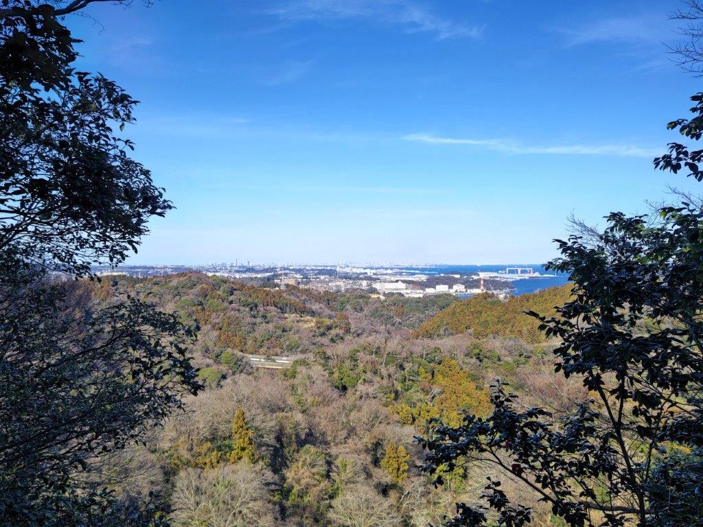
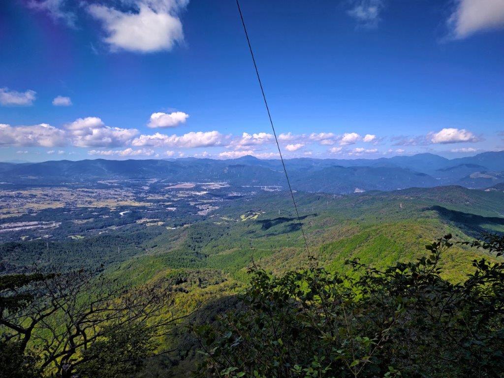
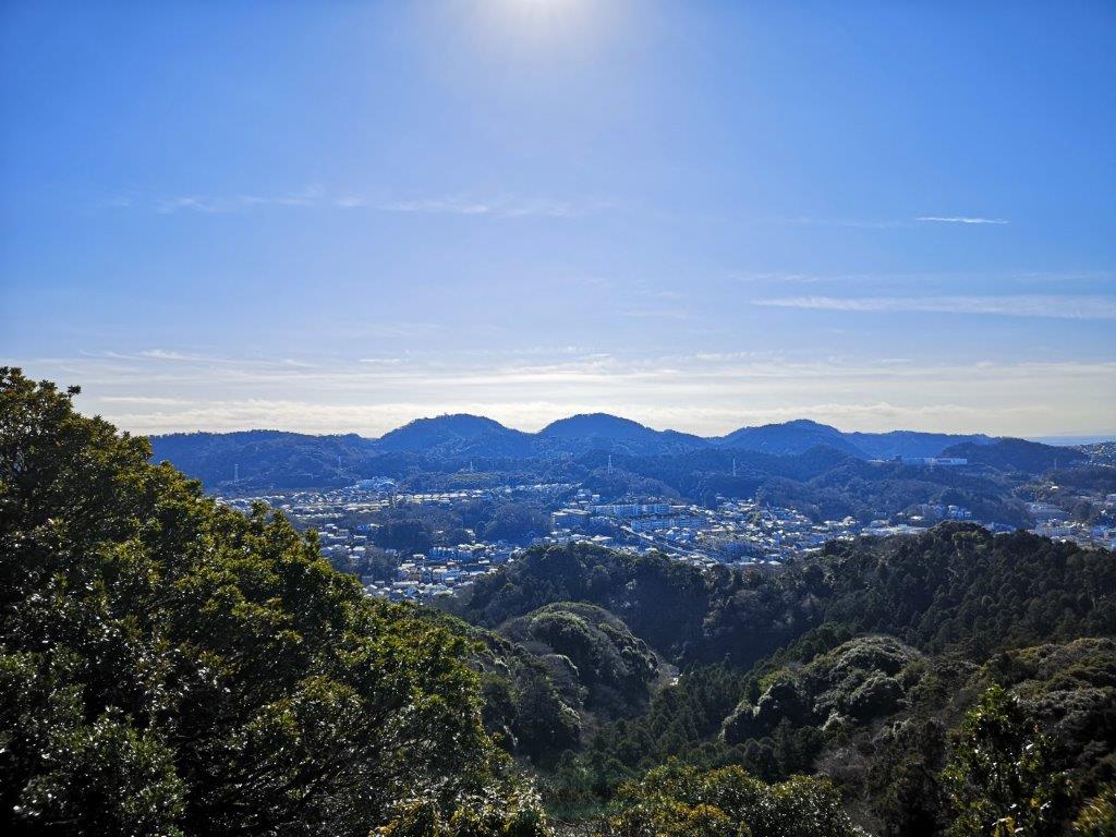
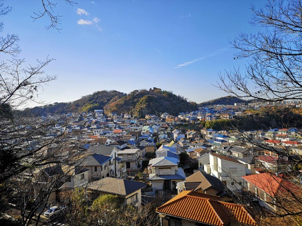
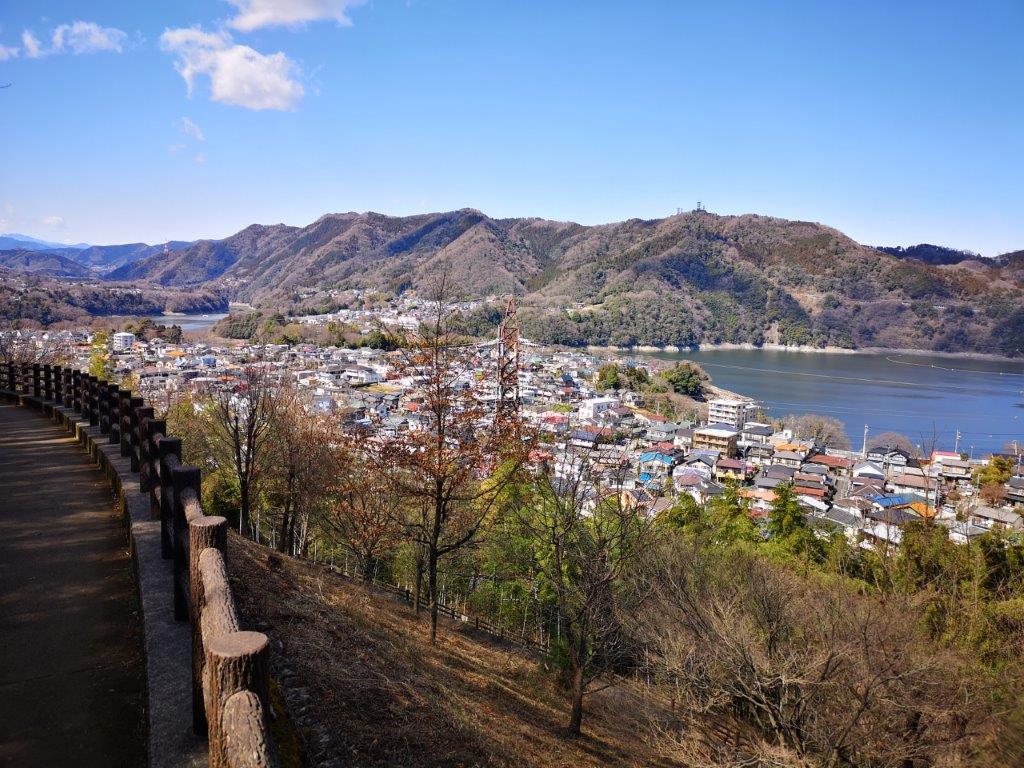
View towards Yokohama between Mt Hatake and Mt Nyuto
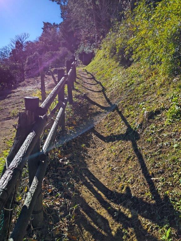
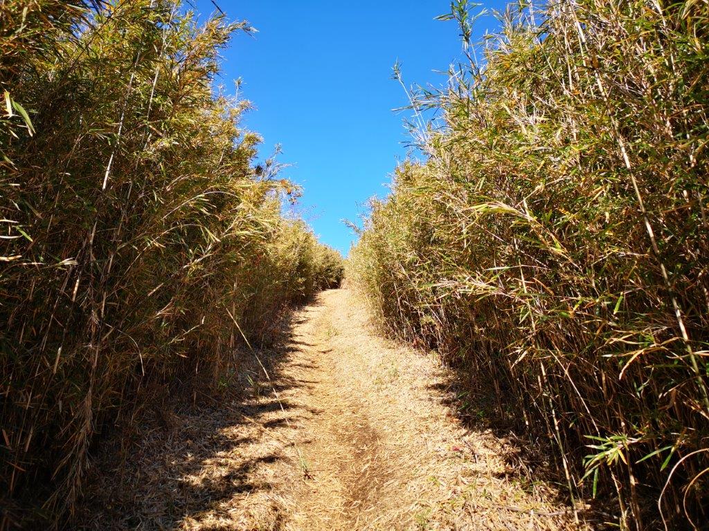
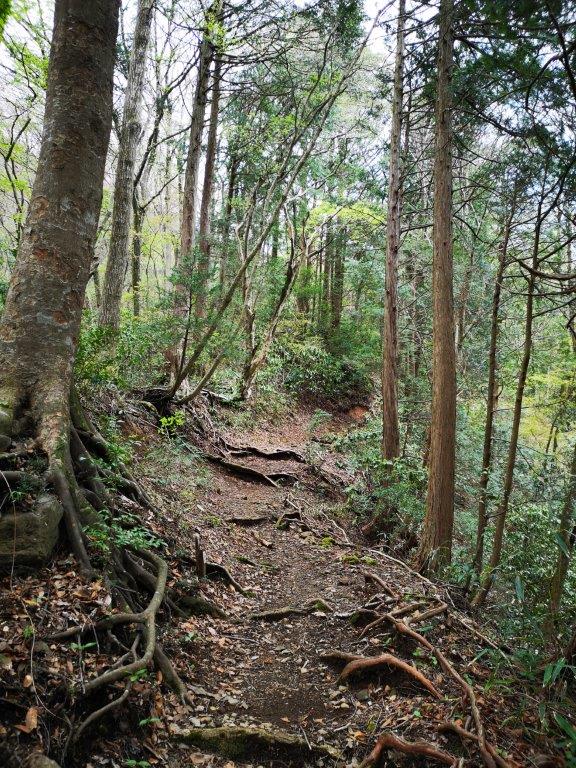
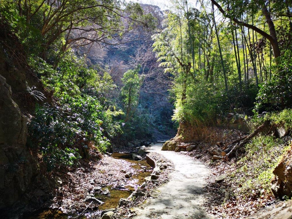
It was a sunny winter day, as I arrived at Zushi station at around 11am. After a short bus ride, I got off under an elevated highway, near a river and a small fire station. Just after noon, I set off up a small paved road, and soon after reached the trail entrance on the right. Almost immediately, I was walking through bamboo trees, swaying slowly in the wind.
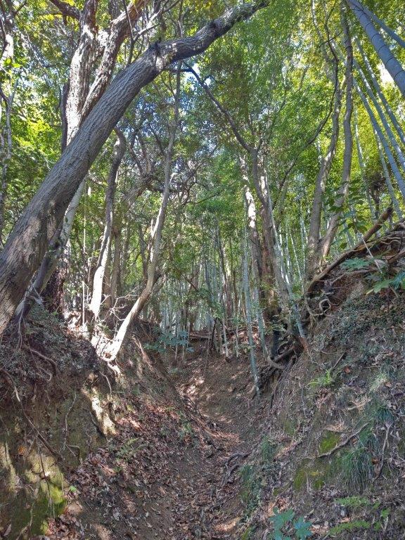

Start of the trail (left) Walking through the bamboo (right)

View of Tokyo Bay through the trees
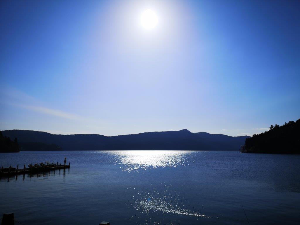
I was fascinated by the interplay of light and sound, an experience quite unique to this side of the world. At 1230, I exited the bamboo forest and followed a trail up the mountain side. Half an hour later, I reached the top of Mt Hatake (畠山 はたけやま hatake-yama), its summit marker, a simple name plate hanging from a tree branch. On the east side, I had a view of Tokyo Bay and the southern half of the Miura peninsula. After a short break, I moved on.

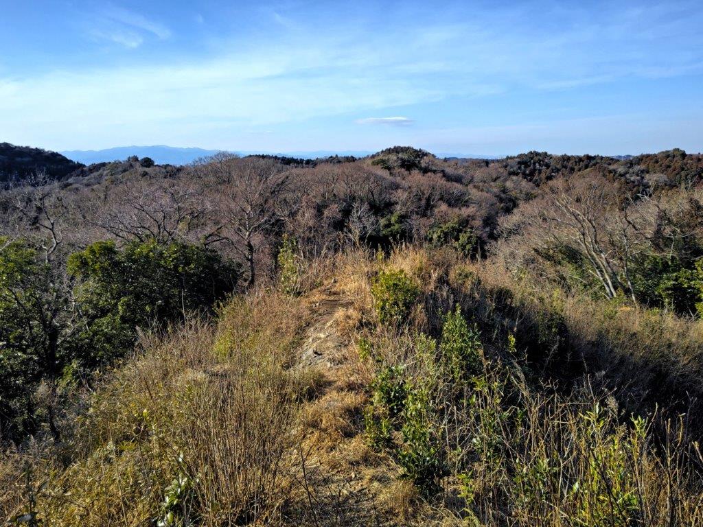
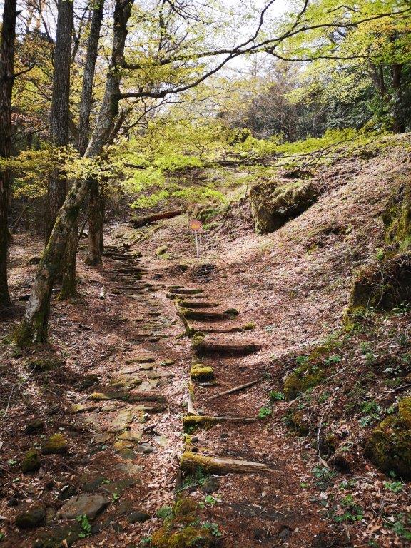
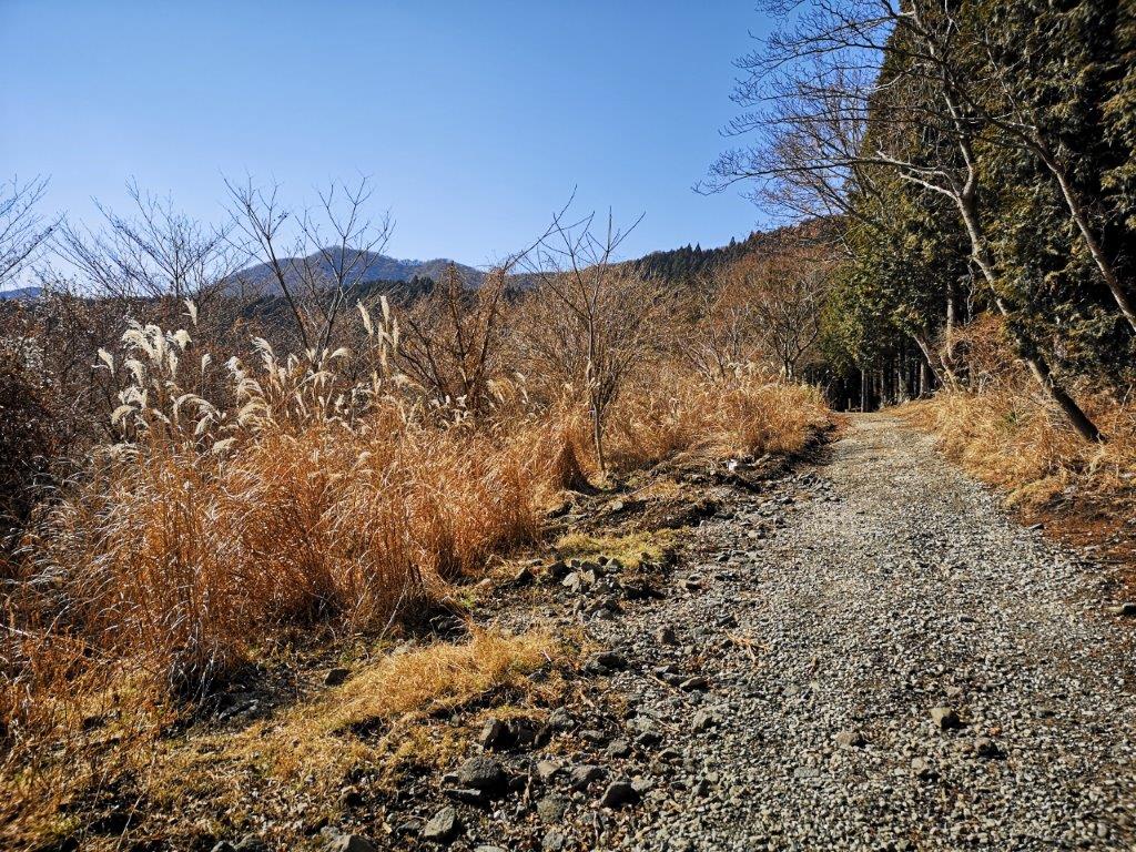
Short detour along the Nakaone Trail

The start of the Nakaone Trail had good views
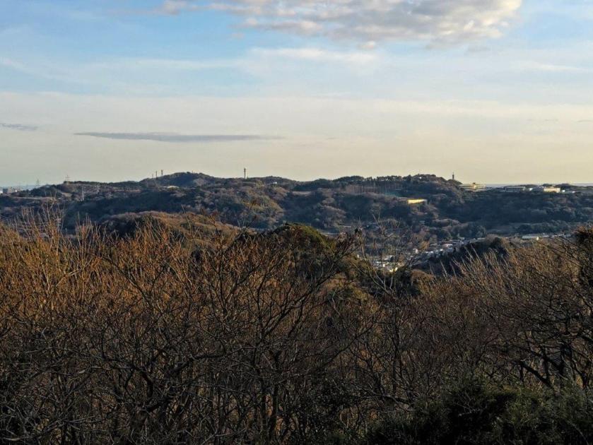
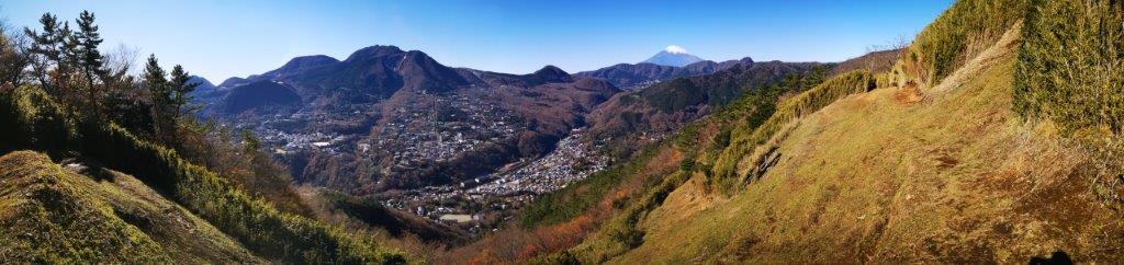
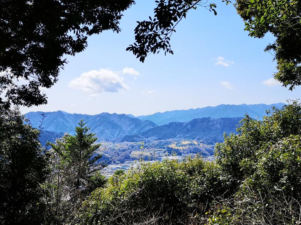
I reached another view through the trees, after 30 minutes of mostly level walking; this time I was looking north towards Yokohama. Soon after, I merged with the trail of my previous hike, and at 2pm, was standing on the narrow summit of Mt Nyuto (乳頭山 にゅうとうさん nyuto-san) for the second time. Once again, I had a view on the dark blue wayers of Tokyo bay and the gleaming white skyscrapers of Yokohama. Just below, was a junction and a decided to check out the left branch, the Nakaone trail, off today’s hike.
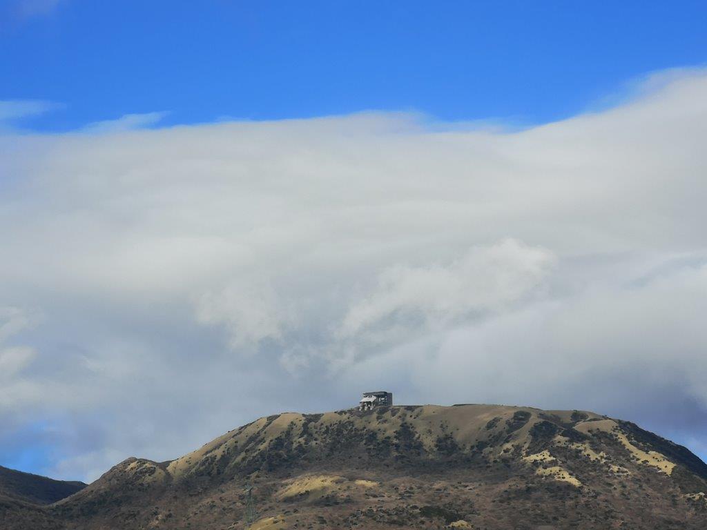
Tanzawa mountains in the background
On the Nakaone Trail (left) On the way to Mt Futako (right)
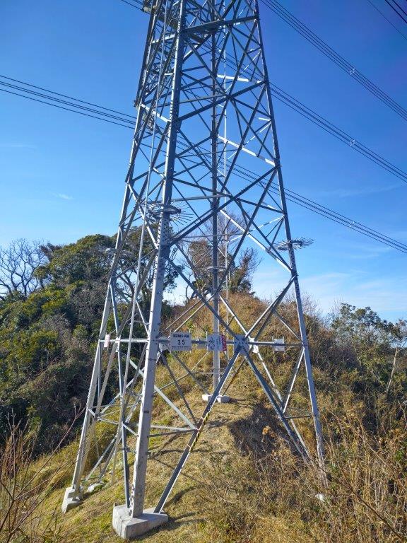
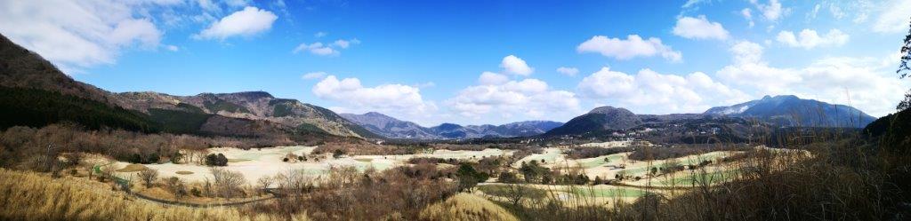
I was rewarded with a view on the west side of the Tanzawa mountains, on a treeless ridge, just past a couple of electric pylons. The city was almost invisible and it felt like I was in the middle of the wilderness, despite being just a few kilometers from the biggest city in the world. I found a spot to sit for quick lunch break. At 3pm, I was back on the main trail, and a little after, I took a right turn, leading away from Higashi-Zushi station and Mt Takatori.

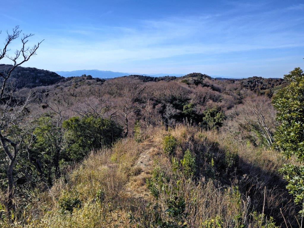
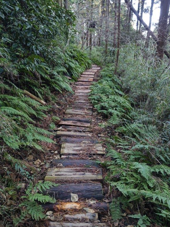
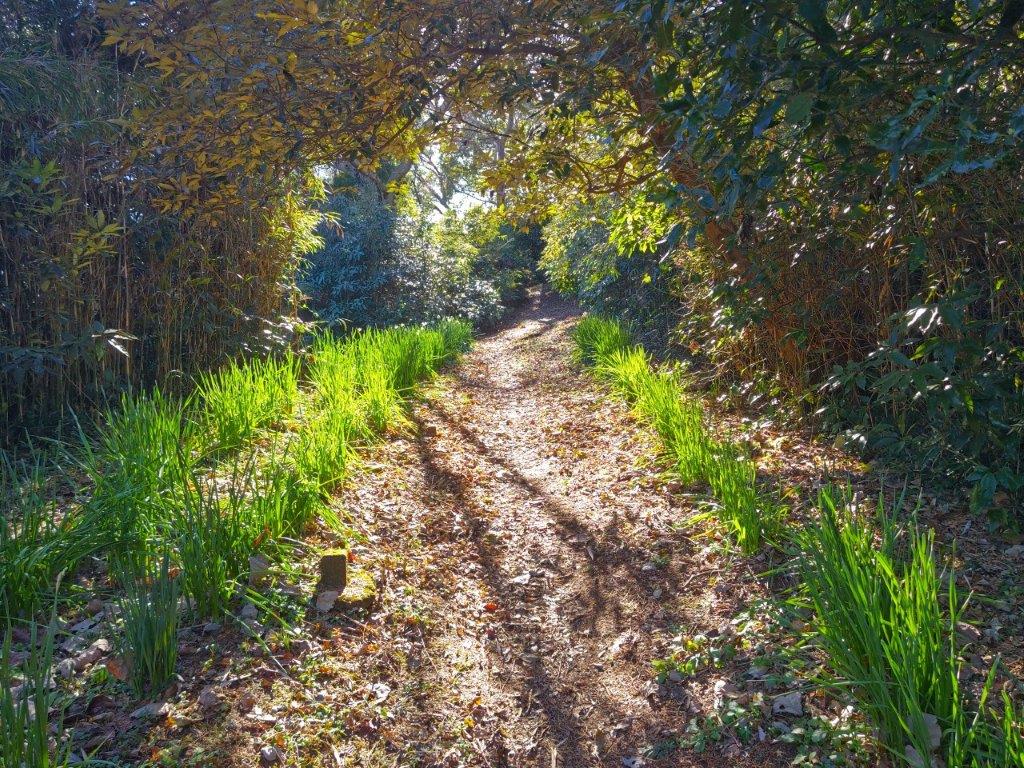
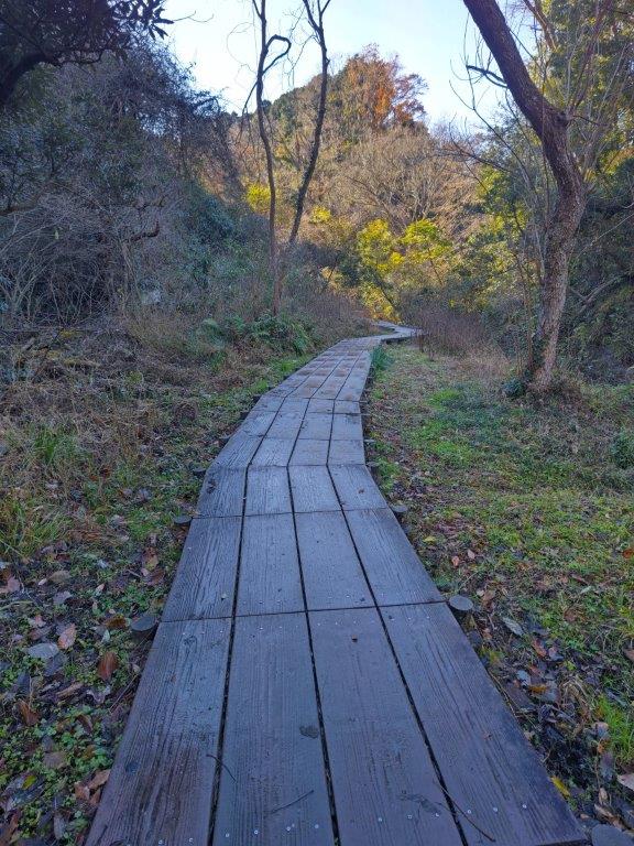
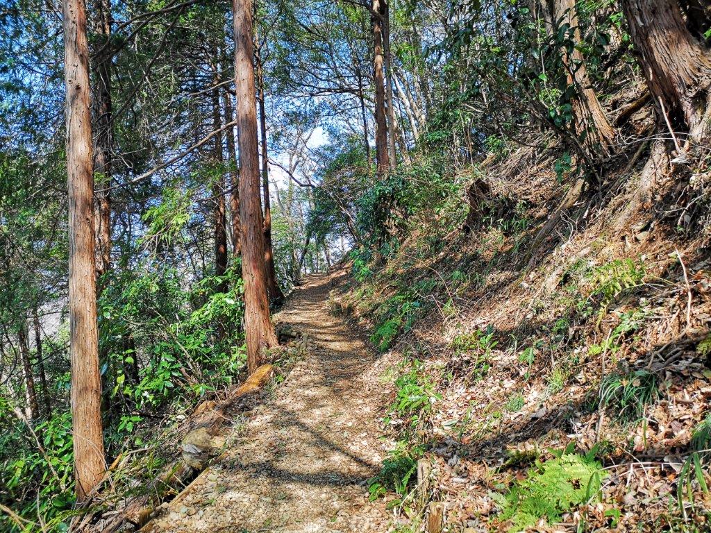
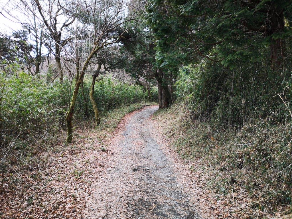
A relatively easy trail to walk

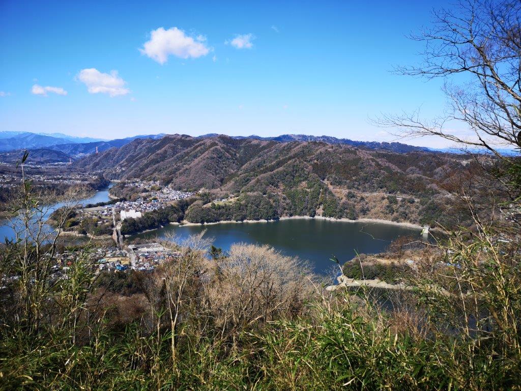
View of Mt Ogusu from the top of Mt Futako
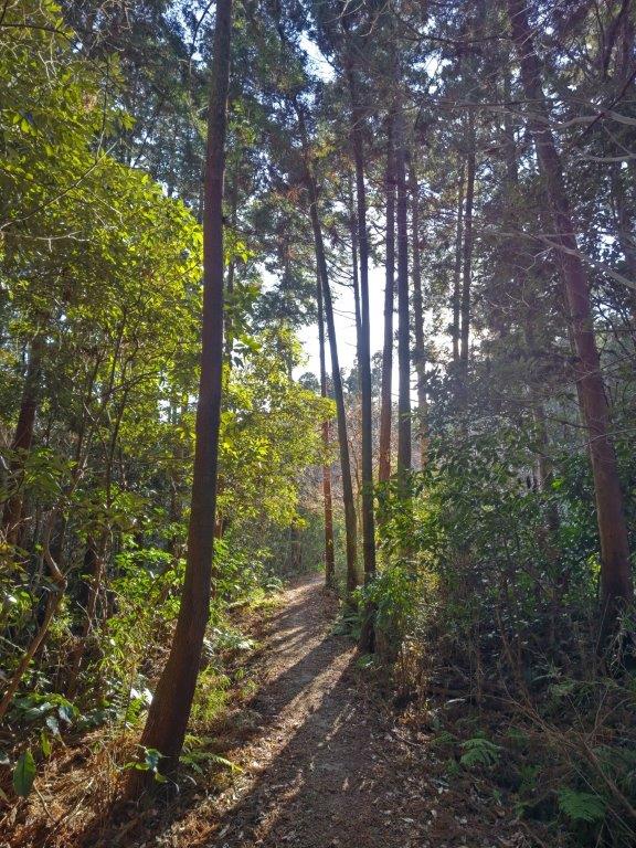
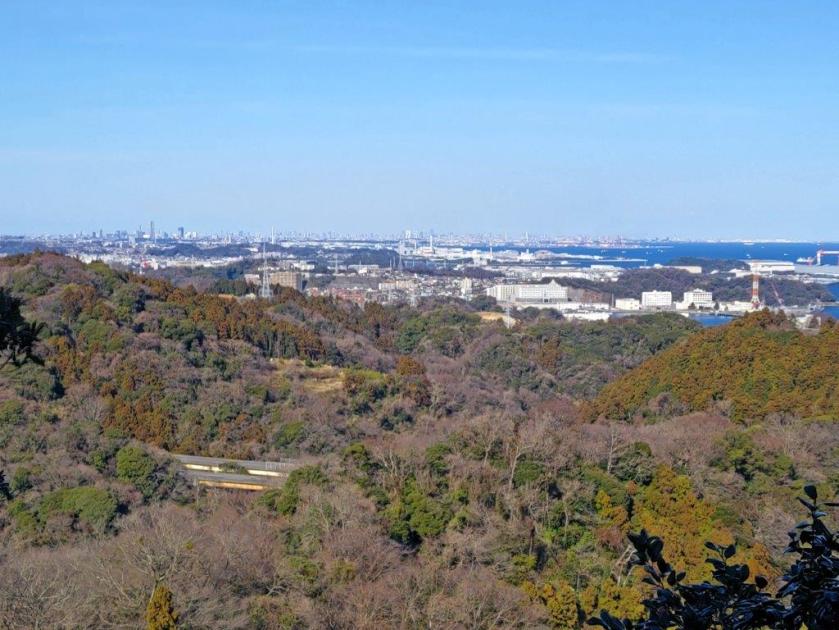
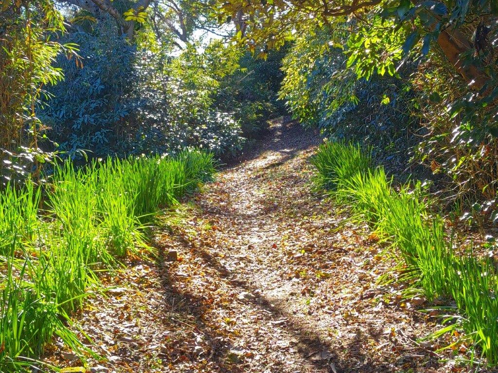
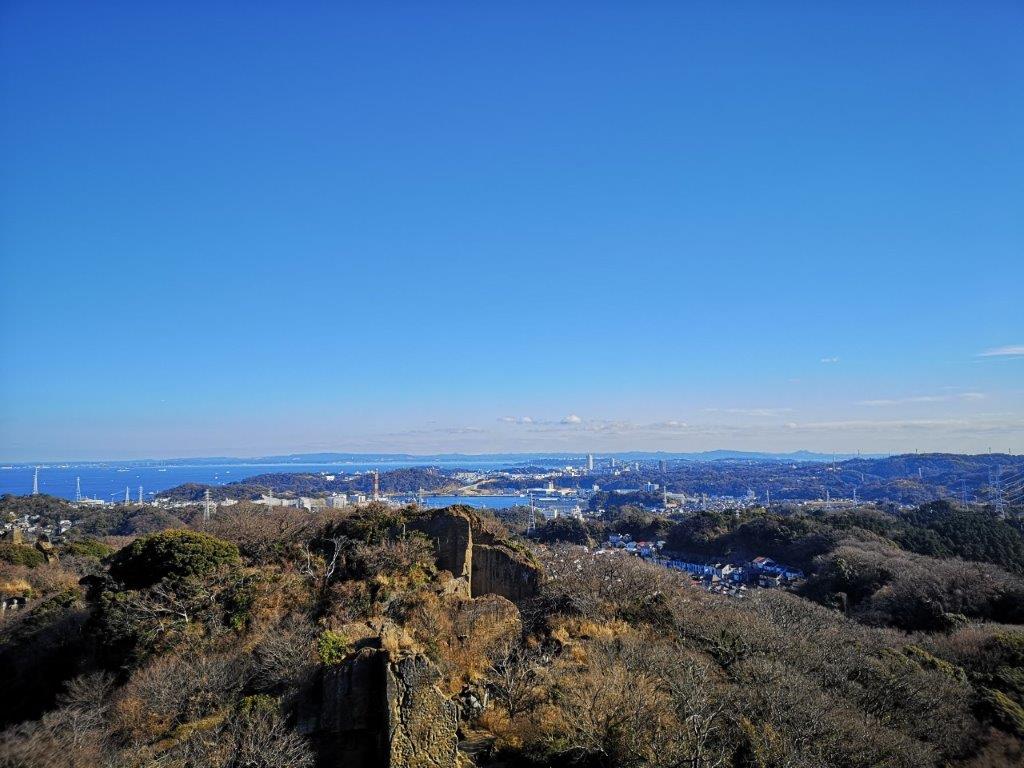
I was now walking along the most peaceful section of the hike, invisible squirrels scampering along the tree branches, soft light filtering through the leaves. At 4pm, the trail merged with a gravel road winding up hill side. A few minutes later, I reached a wooden observation platform on top of Mt Futako 二子山ふたこやま futako-yama), a common name meaning “twins”. I had a wide view on the east side, including Yokohama City, Tokyo Bay, and the Miura Alps on the south side. The sun was setting soon, forcing me to continue moving.

View of Enoshima Island from near the top of Mt Abekura

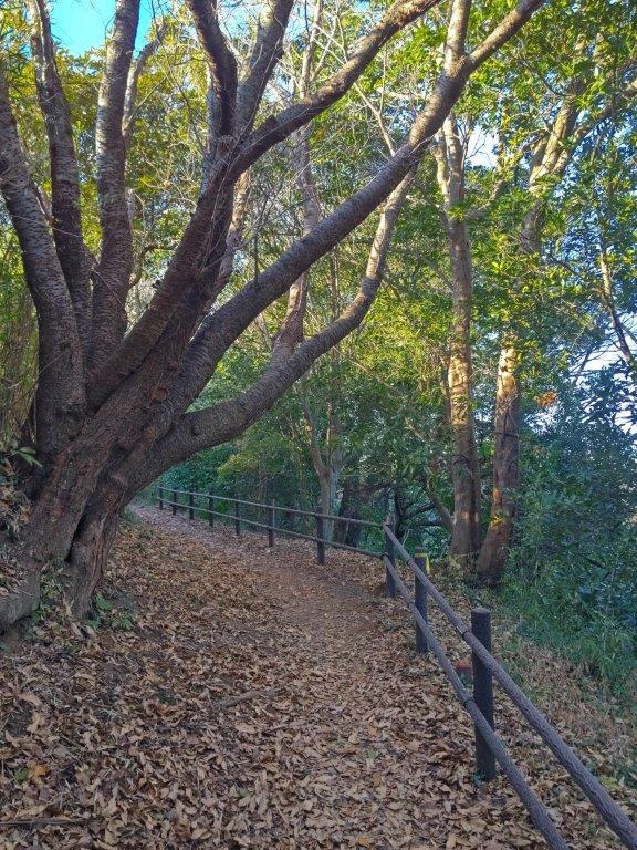
Trail near Mt Futako (left) Heading down from Mt Abekura (right)
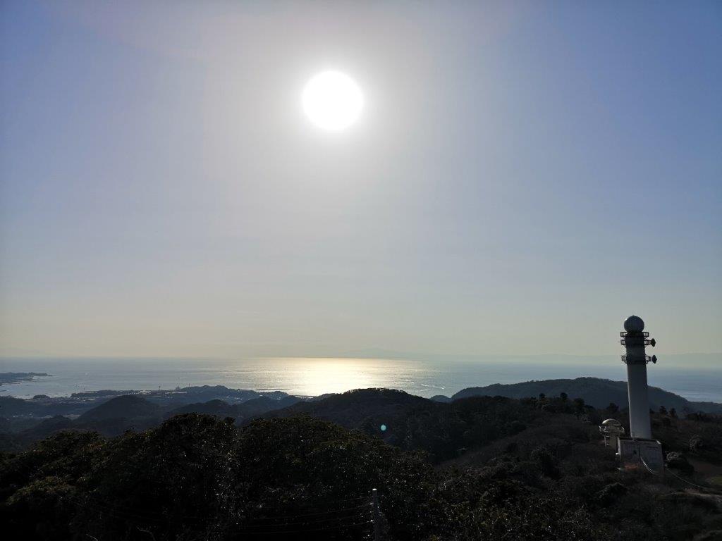
I hurried down the steepest section of today’s hike, fitted with rope for safety, surprising on such a low mountain. Soon the narrow path climbed again, and half an hour later, I reached the top of Mt Abekura (161m 阿部倉山 あべくらやま). It was a minor peak, slightly off the trail, but with a viewpoint of Sagami Bay and Enoshima island on the west side, the sky behind lit orange. It was called Sakura Terrace, and although the trees were bare, it must be beautiful in the spring. I made my way down and arrived at a road just after the 5pm chime. From the nearby bus station, it was a short ride back to Zushi, where I caught the Shonan-Shinjuku line for the one hour trip to Tokyo.
See a video of the Mt Hatake, Mt Nyuto and Mt Futako hike

See a slideshow of more pictures of the hike


![Mt Kintoki (1212m), Minami-Ashigara City, Kanagawa Prefecture, Saturday, October 1st, 2022 [Yuhi Waterfall to Otome Pass route]](https://hikingtokyo.com/wp-content/uploads/2022/10/img_20221001_131101.jpg?w=1024)


![Mt Myojo (924m) & Mt Myojin (1169m), Hakone Town, Kanagawa Prefecture, Sunday, November 28, 2021 [Map Available]](https://hikingtokyo.com/wp-content/uploads/2021/12/img_20211128_132421.jpg?w=1024)


You must be logged in to post a comment.