
![Mt Komayumi (1223m), Aoki Village, Nagano Prefecture, Sunday, December 5, 2021 [Map Available]](https://hikingtokyo.com/wp-content/uploads/2021/12/img_20211205_115946.jpg?w=1024)
I was hoping to do one last hike in Nagano before the start of the ski season and I was also keen on exploring the Ueda area some more. I found another mountain in my guidebook that I could reach with a short bus ride from the station. Buses ran frequently so I could be flexible with the departure time. I would go up and down different routes, but I would end up on the same bus line. The forecast called for sun and above freezing temperatures, so I was hoping to get a good view of the North Alps covered in snow.
Download a map of the Mt Komayumi hike
This map was developed for Japanwilds with the Hokkaido Cartographer
Find more Japan hiking maps on Avenza

View of the Chikuma river valley from the summit
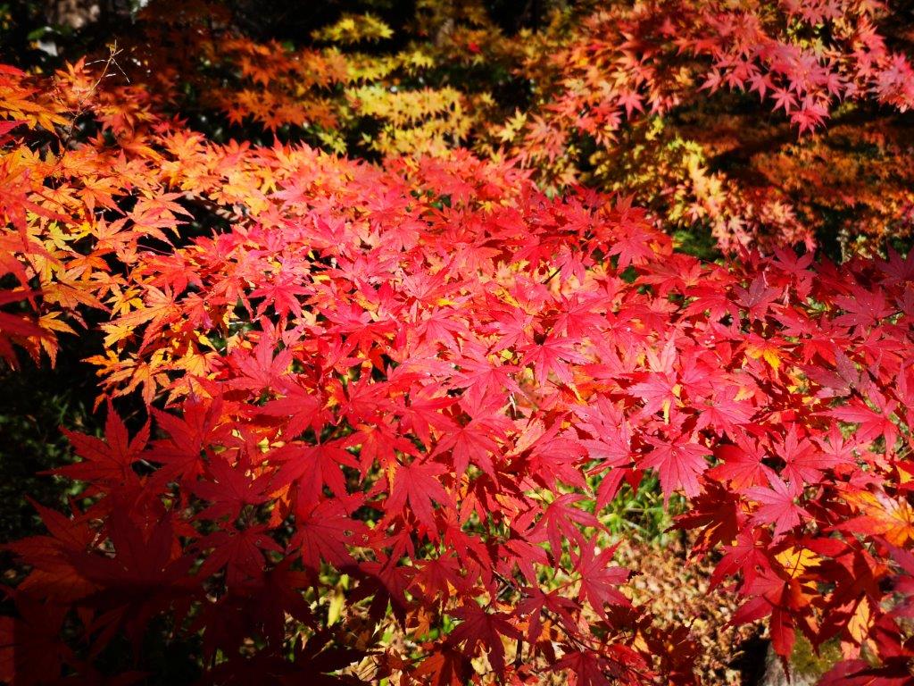
Frost-covered trees on nearby summits
I enjoyed the views of the mountains of Gunma from the Hokuriku shinkansen on a cloudless day. After emerging from the tunnels around Karuizawa, I was greeted by dull, grey skies. Outside Ueda station, I had a little sun while waiting for the bus, but after getting off in Aoki village at 10am, the weather was again cold and miserable; it almost felt like it was going to snow. Trusting in the forecast, I set off through the village and reached the start of the trail a little after 10h30.

First view of the summit
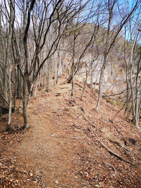
Leafless trees going up, green pines going down
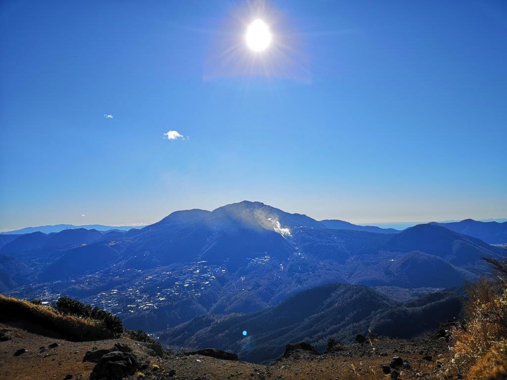
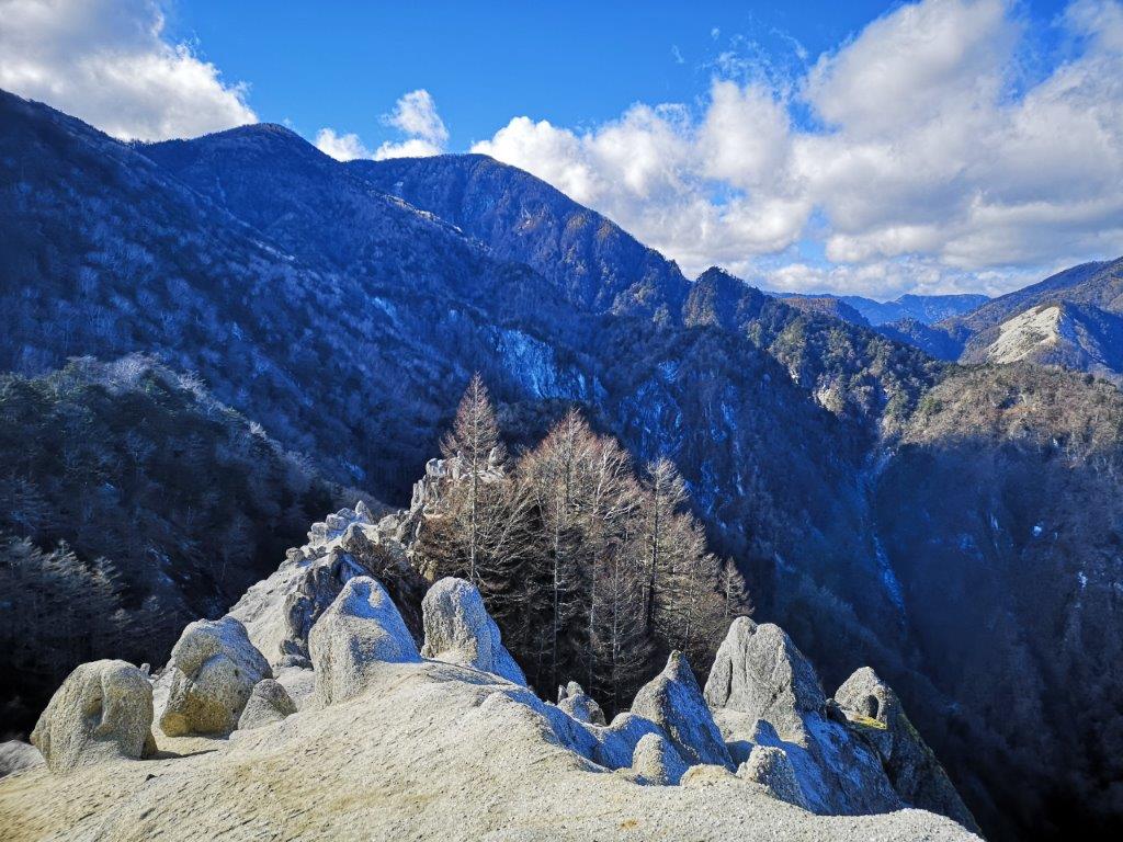
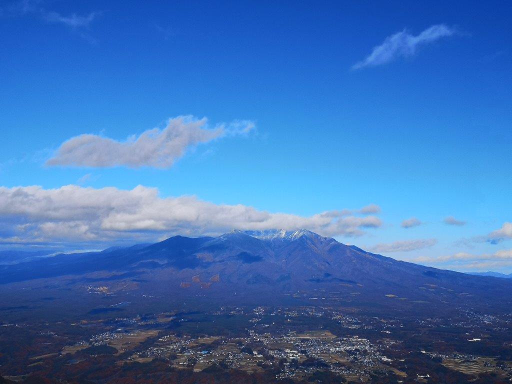
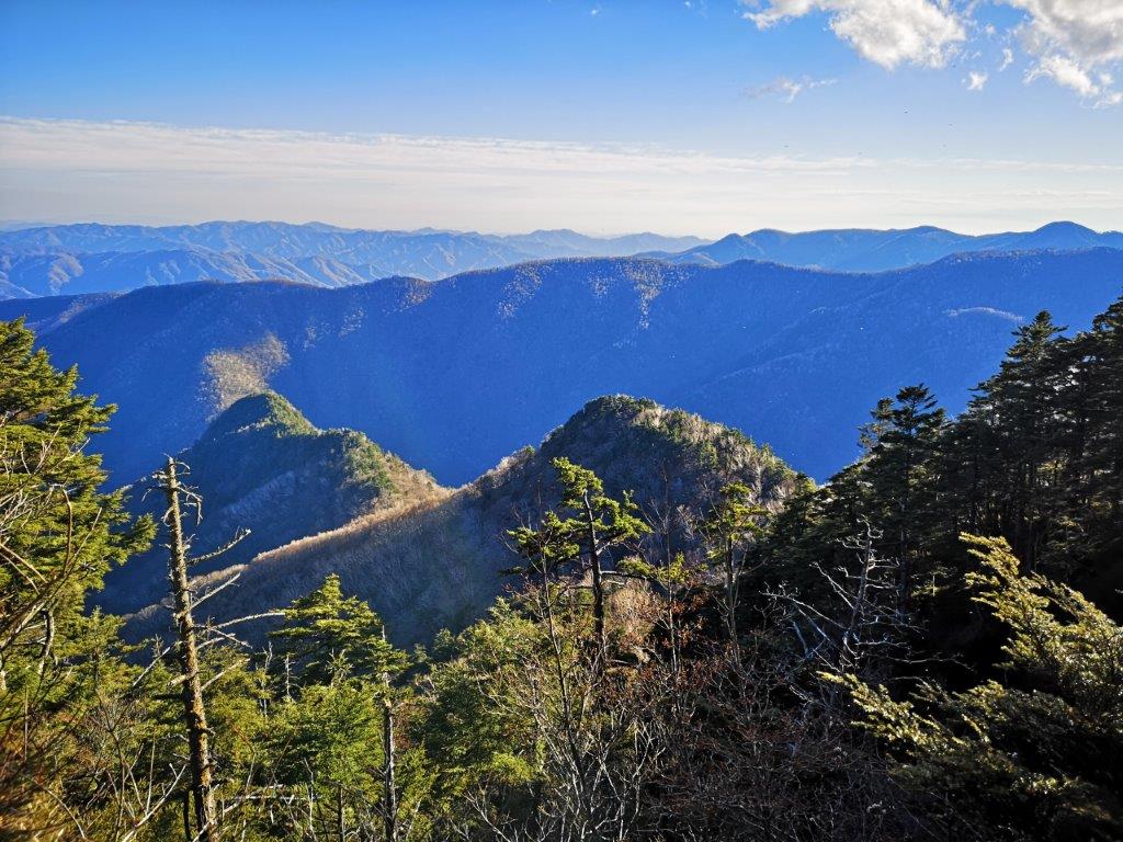
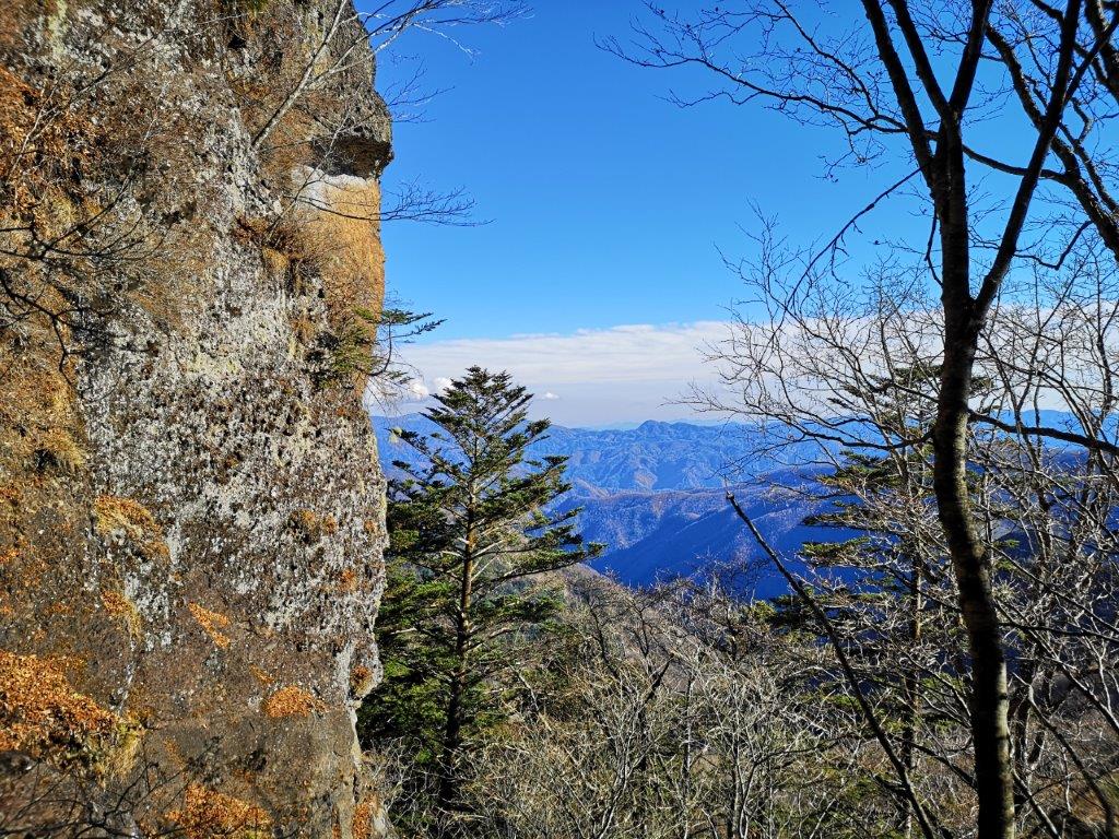
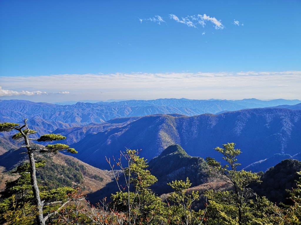
At 11am, I had the first views of today’s mountain: a rounded peak, with a rocky base and pine trees lining the top. Shortly after, I made my way up a steep slope through leafless trees, leading to my first views of the valley, below the rocky base. The sun suddenly came out, as the clouds moved swiftly south, leaving behind a solid blue sky. I could now see the surrounding mountains, the trees on the higher sections covered by frost. At 11h30, I reached a viewpoint on a shoulder from where I could see Mt Asama in the distance, cloud-free and its summit crater white with snow.
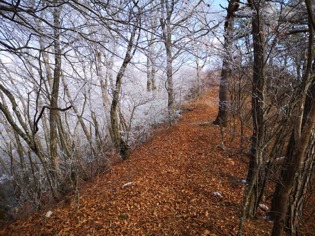
Frosty wonderland near the summit

Looking down towards Aoki village
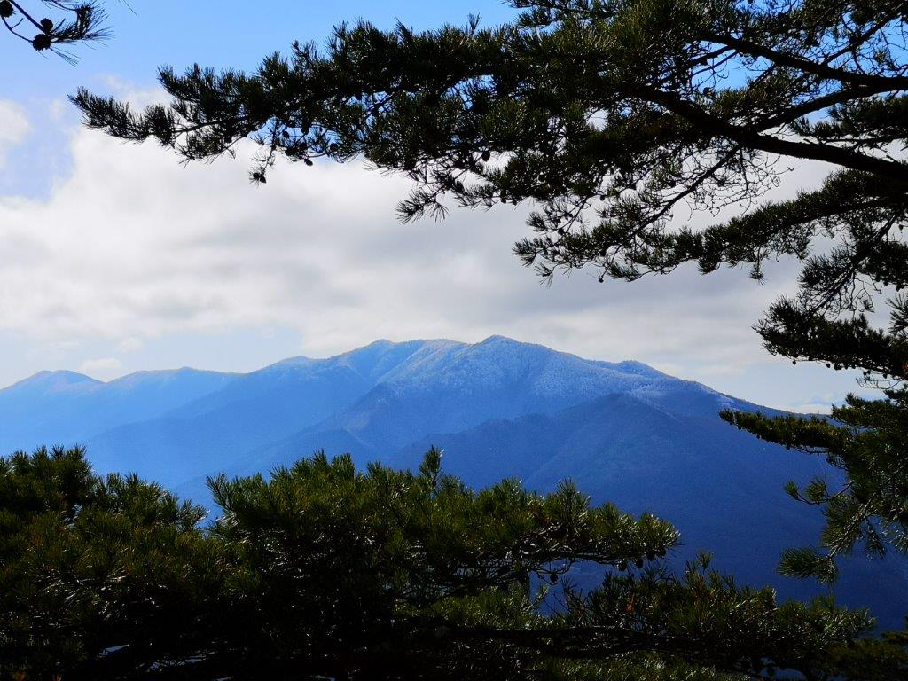
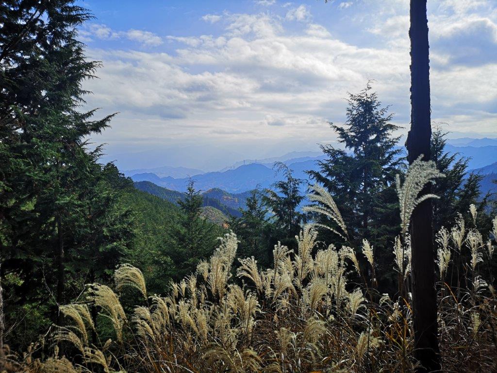
I was surprised to see snowflakes falling gently as I reached the summit ridge. The trees were covered in frost and the surrounding scenery felt magical. At noon, I was standing on the top of Mt Komayumi (子檀嶺岳 こまゆみだけ komayumi-dake). Below, the wide valley of the Chikuma river at the foot of Mt Asama stretched from east to west. The snow had stopped falling, and the clouds were slowly melting away from the highest peaks of Nagano: east, I could see the rounded top of Mt Tateshina, to the west were the double peaks of Mt Azumaya, and looking south, I could make out the the white snows of the North Alps, shining between layers of clouds.
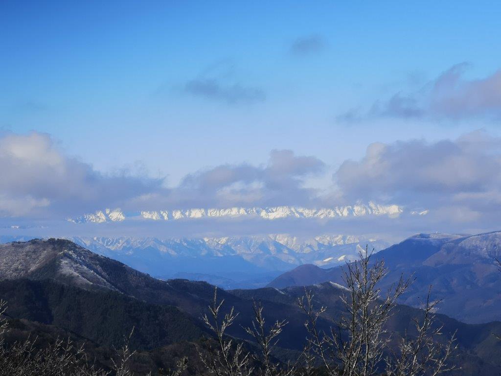
The North Alps, visible between the clouds

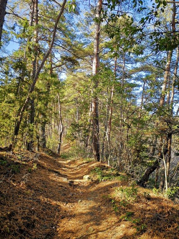
A pleasant descent through a sunny pine forest
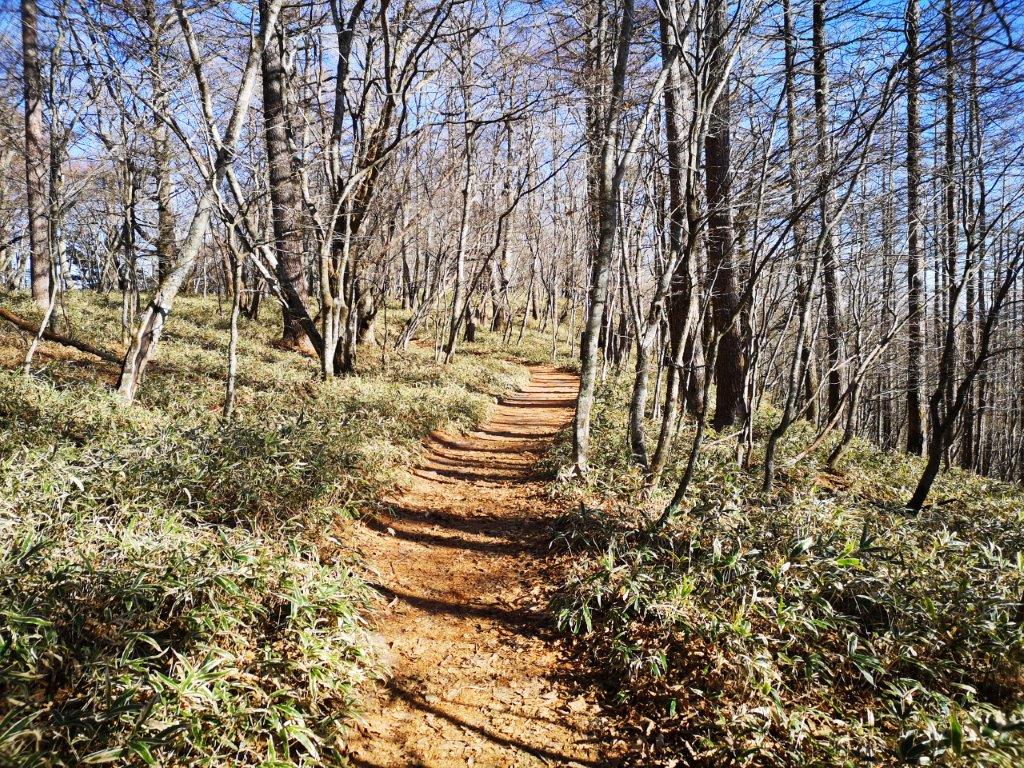
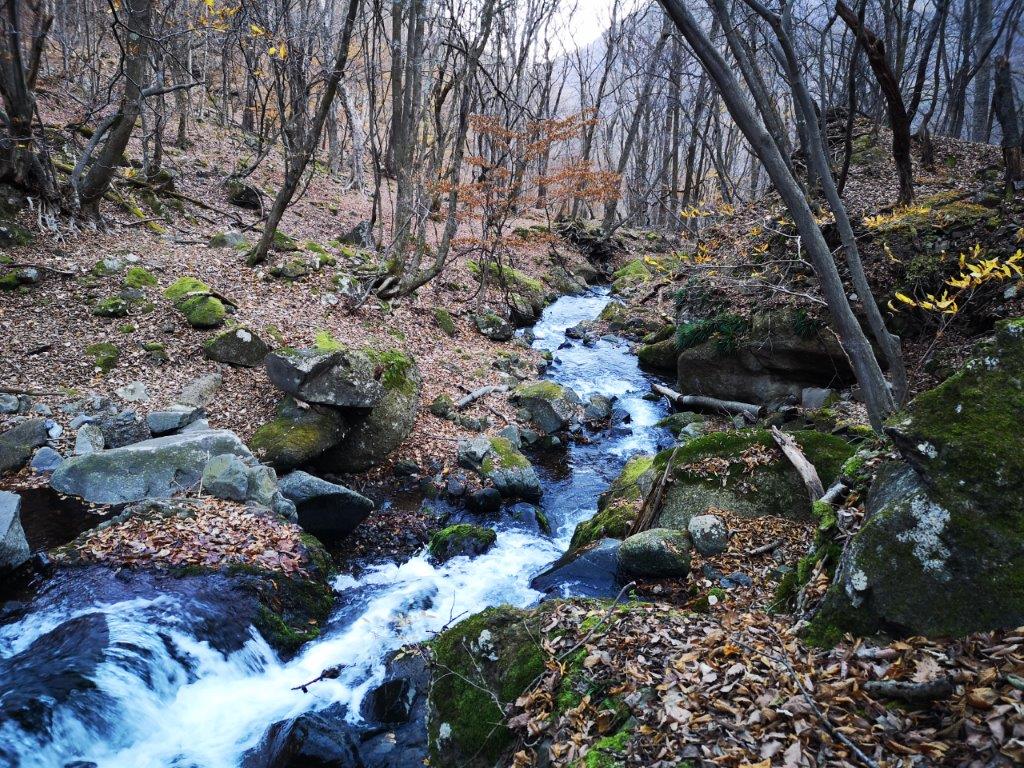
I decided to head down earlier than planned, after the narrow summit had suddenly become packed with other hikers. At first, the path was covered with a thin layer of snow, forcing me to proceed carefully. I was walking on the north side, out of the sun and through a bare forest; soon after, I was back on the east side, walking under the warm winter sun through a green pine forest. At 2pm, I arrived at a paved road and a village, and half an hour later, I got to a bus stop on a busy road. It was a short ride to Ueda station, from where I caught the shinkansen for the one hour ride back to Tokyo.
See the snow falling on the summit of Mt Komayumi

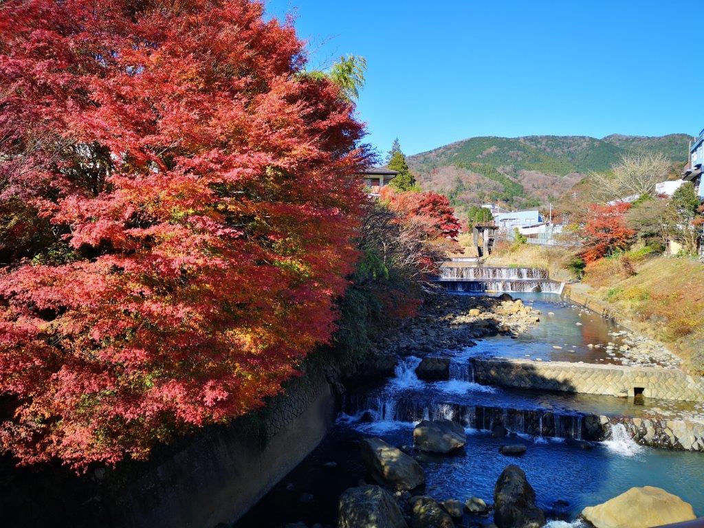
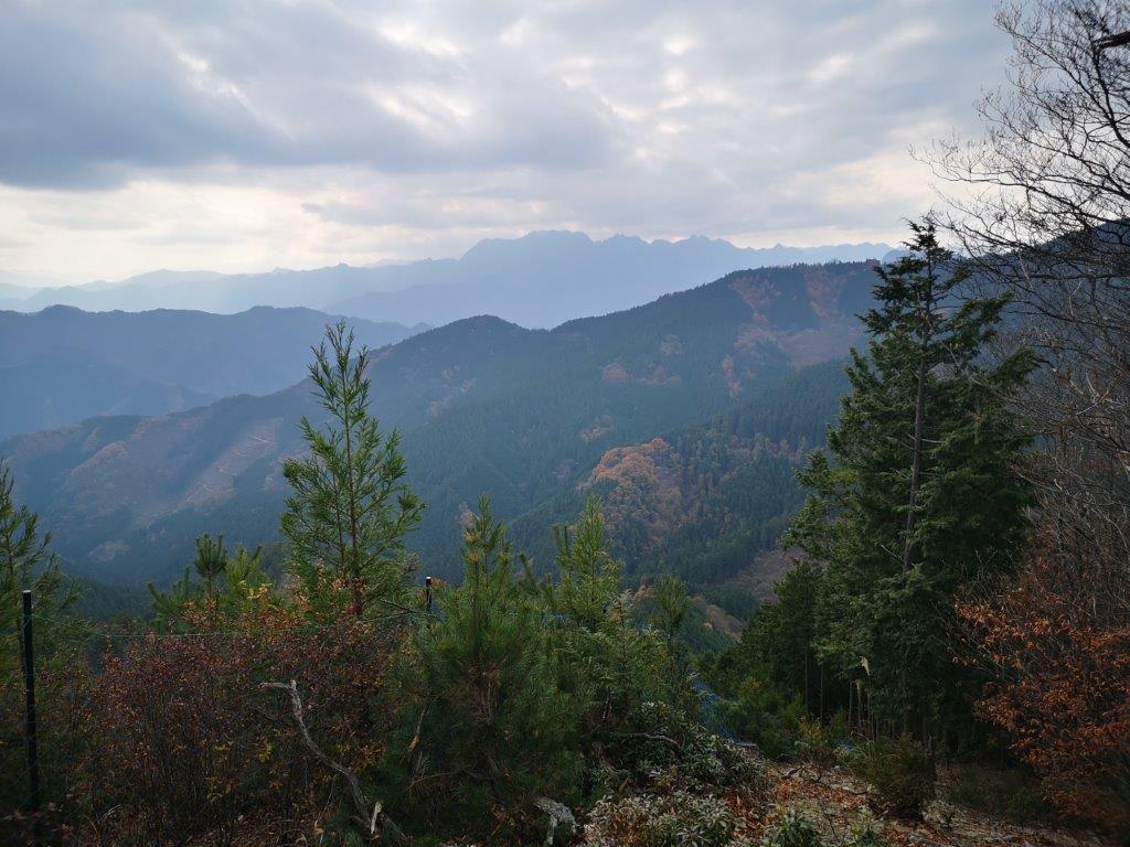
![Mt Myojo (924m) & Mt Myojin (1169m), Hakone Town, Kanagawa Prefecture, Sunday, November 28, 2021 [Map Available]](https://hikingtokyo.com/wp-content/uploads/2021/12/img_20211128_132421.jpg?w=1024)


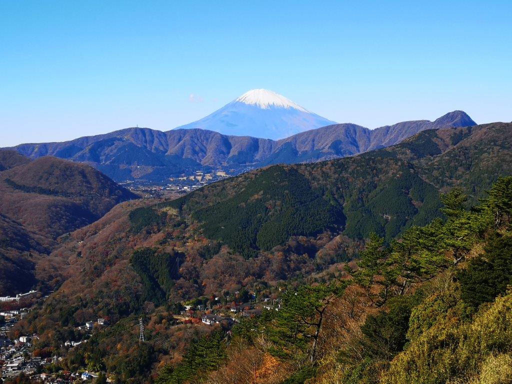


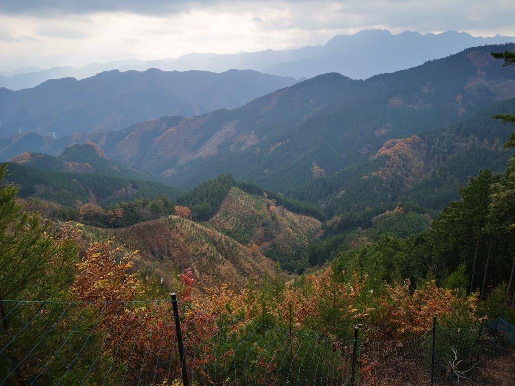
![Mt Hinata (1660m) & Ojira River Valley, Hokuto City, Yamanashi Prefecture, Tuesday, November 23, 2021 [Map Available]](https://hikingtokyo.com/wp-content/uploads/2021/12/img_20211123_131133.jpg?w=1024)


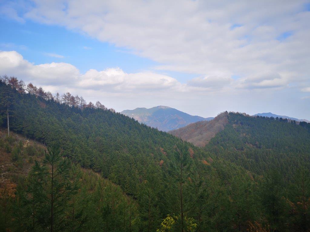


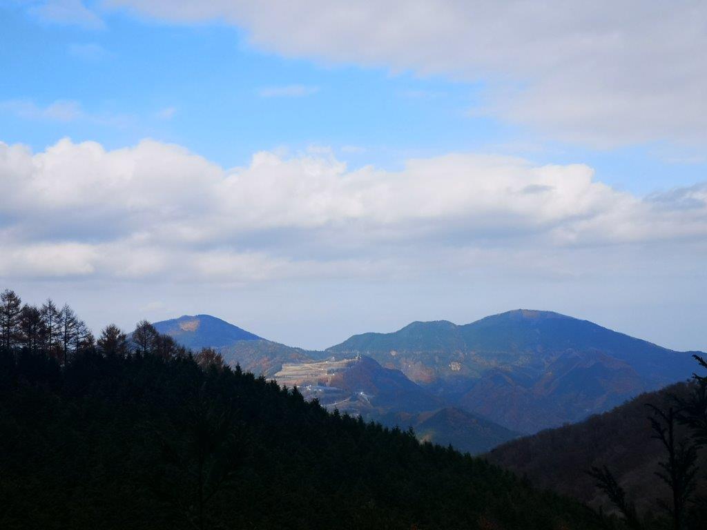


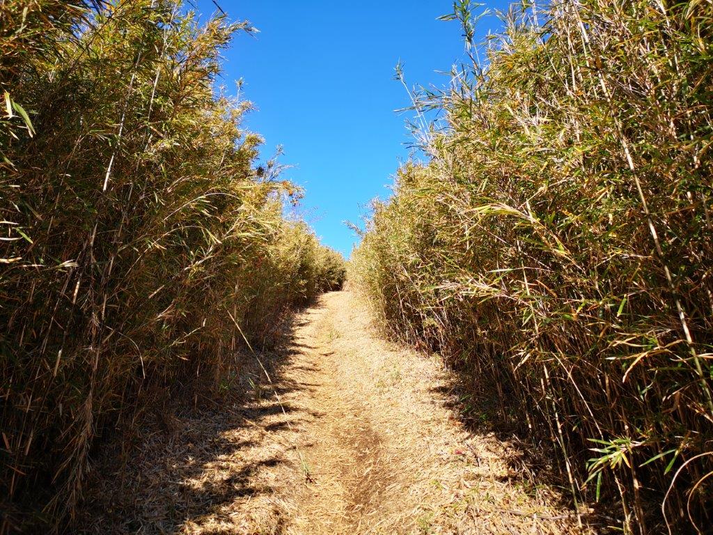
![Mt Mino (587m), Chichibu City, Saitama Prefecture, Thursday, November 11, 2021 [Monkeys]](https://hikingtokyo.com/wp-content/uploads/2021/12/img_20211111_115802.jpg?w=1024)


You must be logged in to post a comment.