
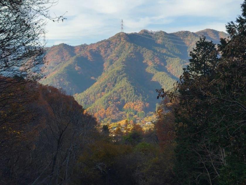
I wanted to do another hike in Yamanashi that could be done by car. Looking at my hiking map, I found a mountain north of Yamanashi city, nearly halfway between Mt Daibosatsu and Mt Obina. It was a relatively short loop with a view of the South Alps and Mt Fuji from the observation tower from the summit. Known for its skunk cabbage fields in early spring, I hoped to have the trails mostly to myself in this season.
To get to the hike, I’d drive a share car from Kofu station to a parking lot at Tamamiya Zazenso Park. On the way there, I would stop by Soba Maru, last visited 5 years ago, for a pre-hike lunch. The weather was supposed to be sunny all day with temperatures average for the season. I was looking forward to a pleasant Autumn hike in the mountains of Yamanashi and hoped to get a glimpse of snow-capped Fuji.
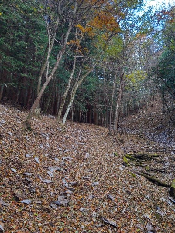
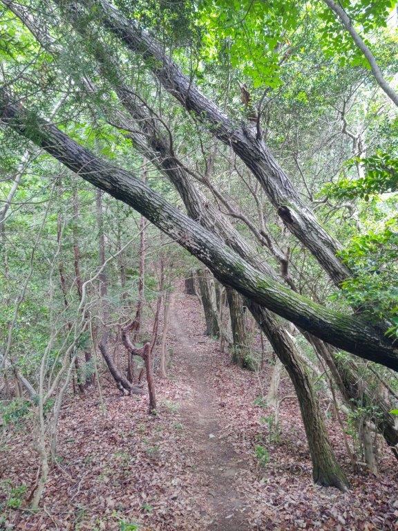
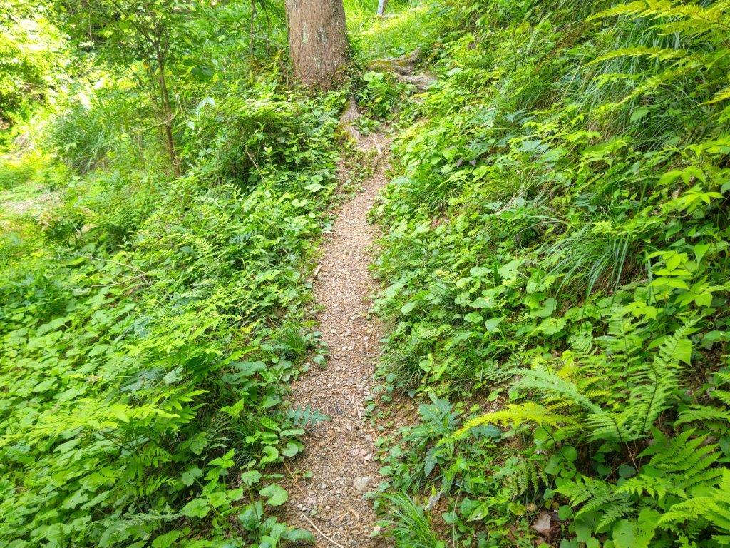
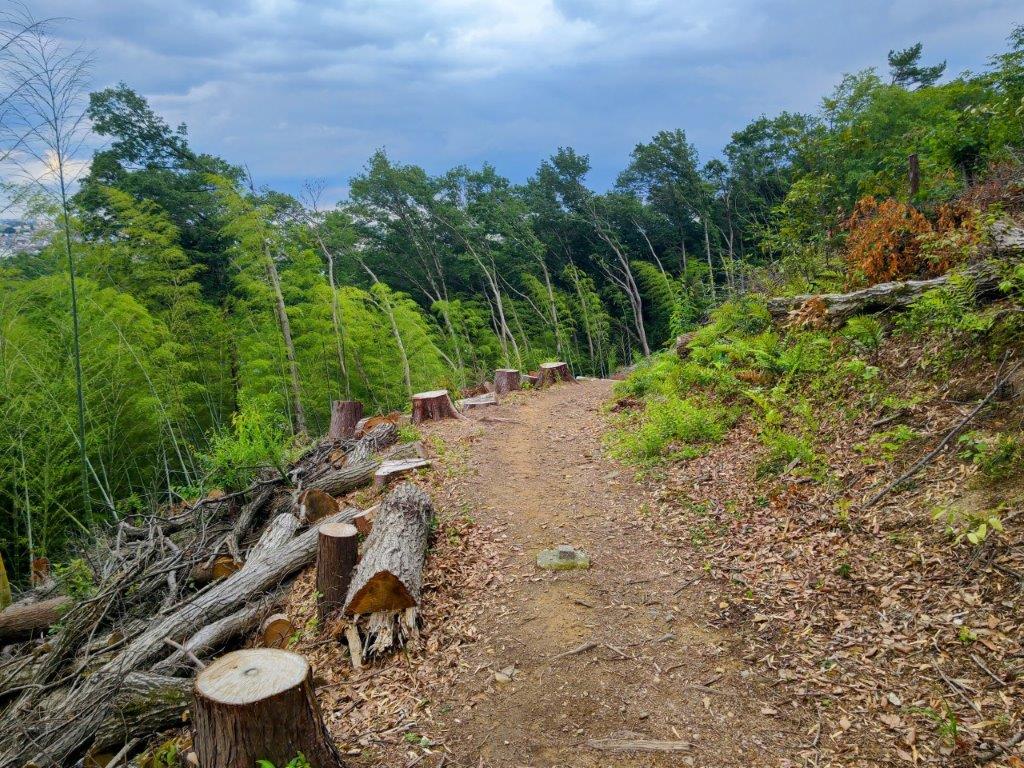
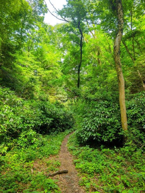
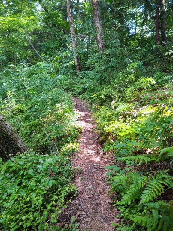
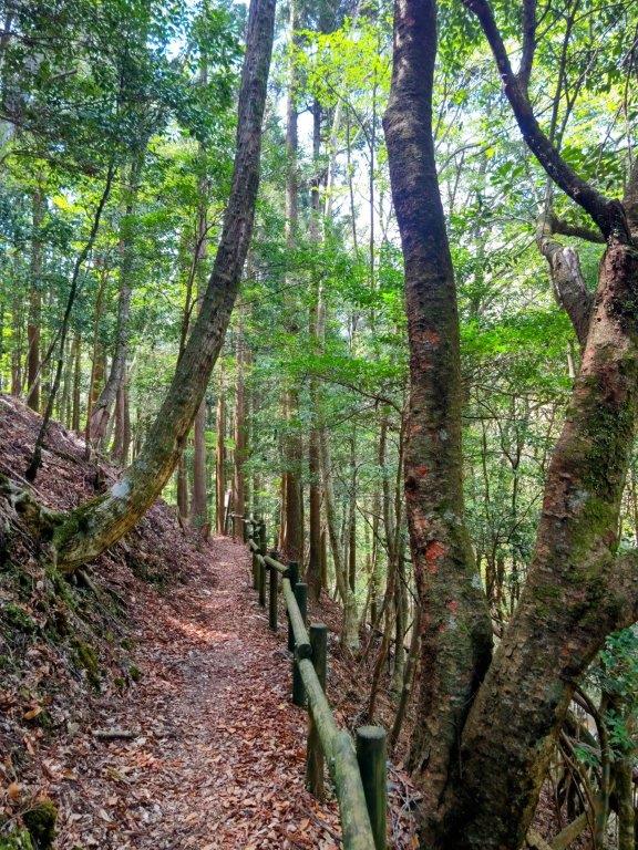
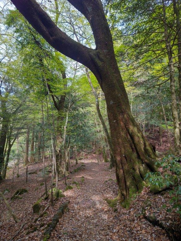
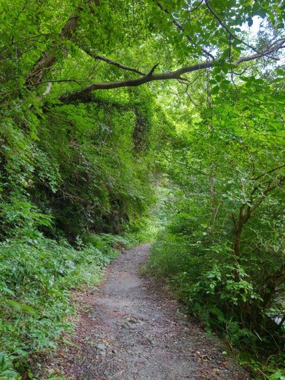
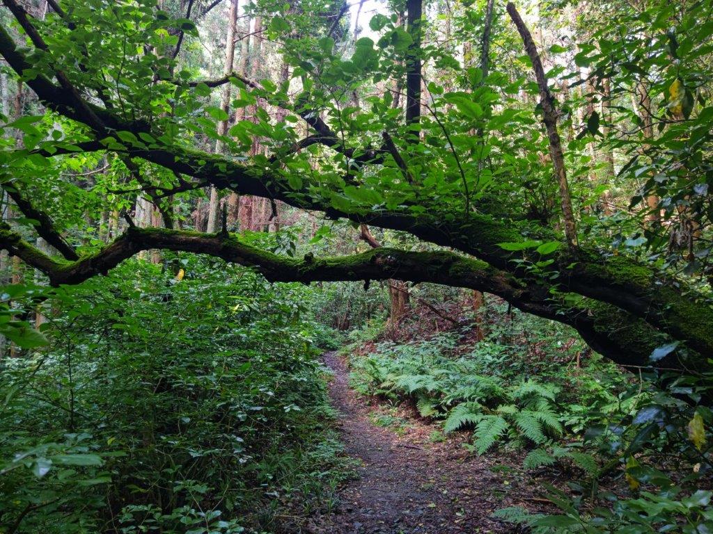
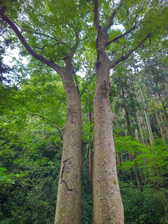
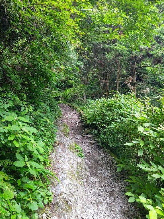
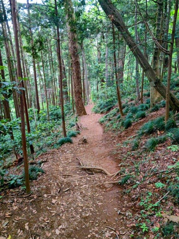
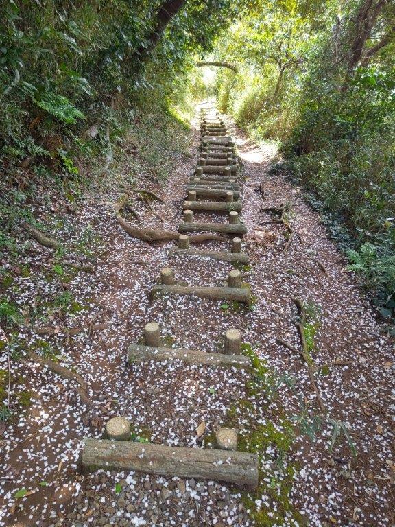
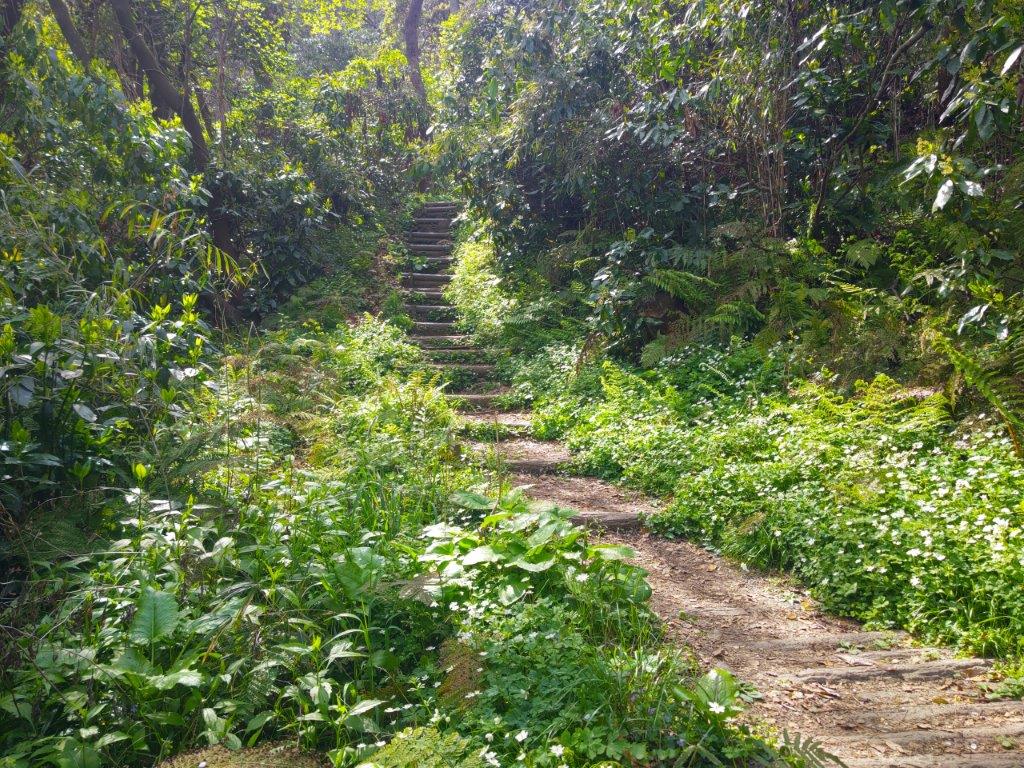
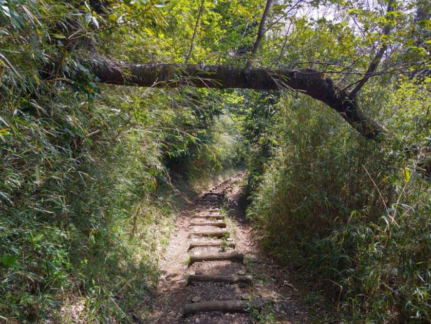
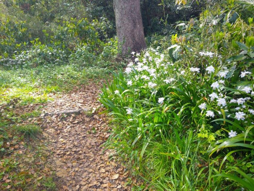
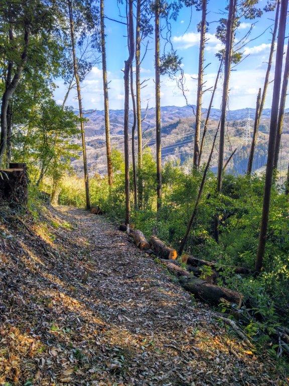
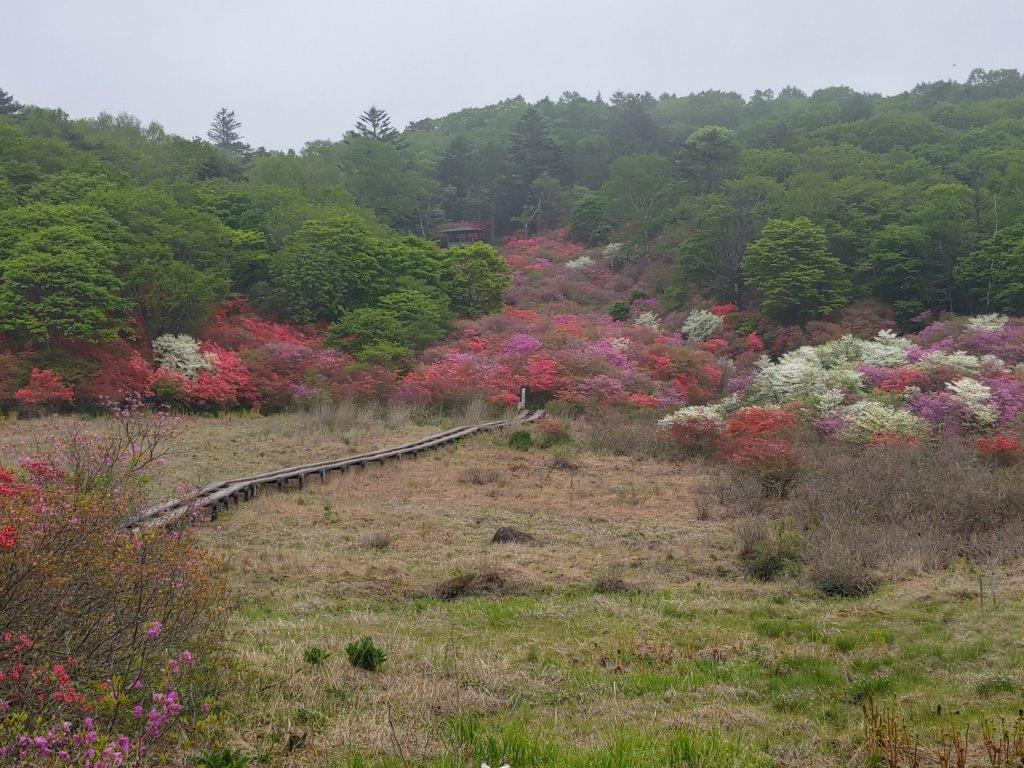
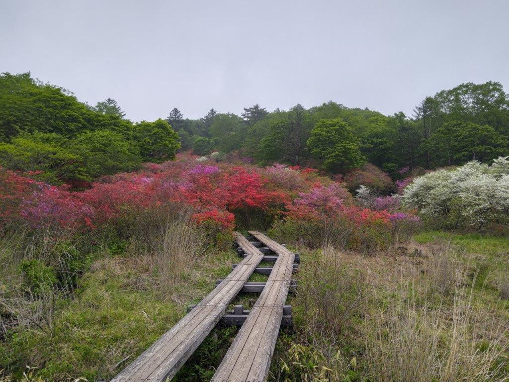
Trail between the Skunk Cabbage Fields and the Ridgeline
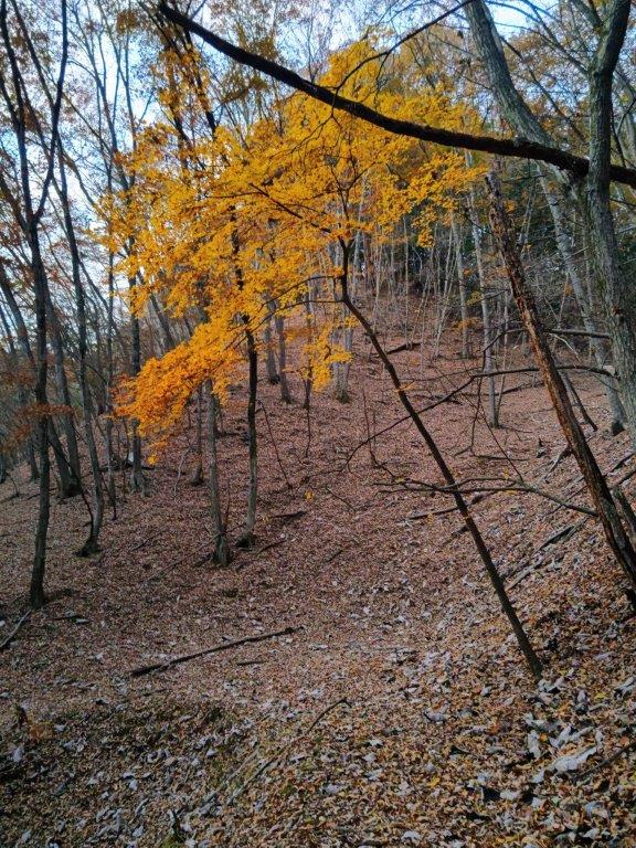
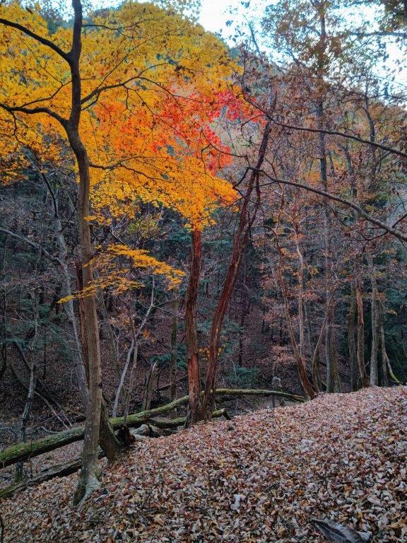
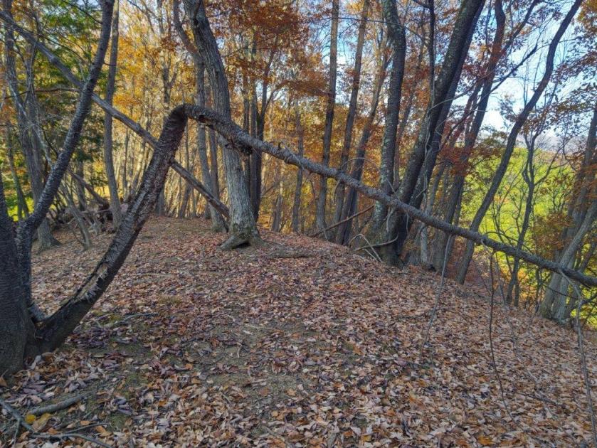
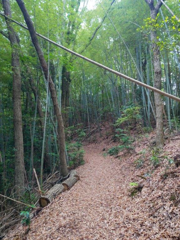
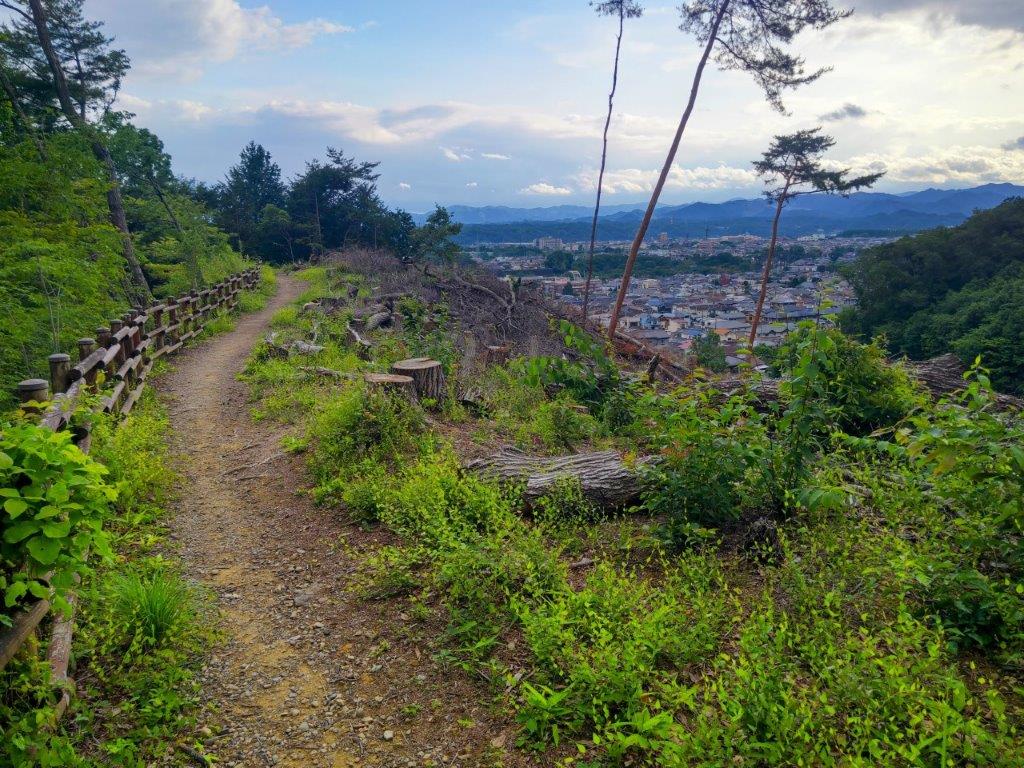
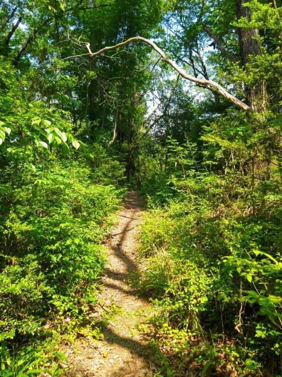
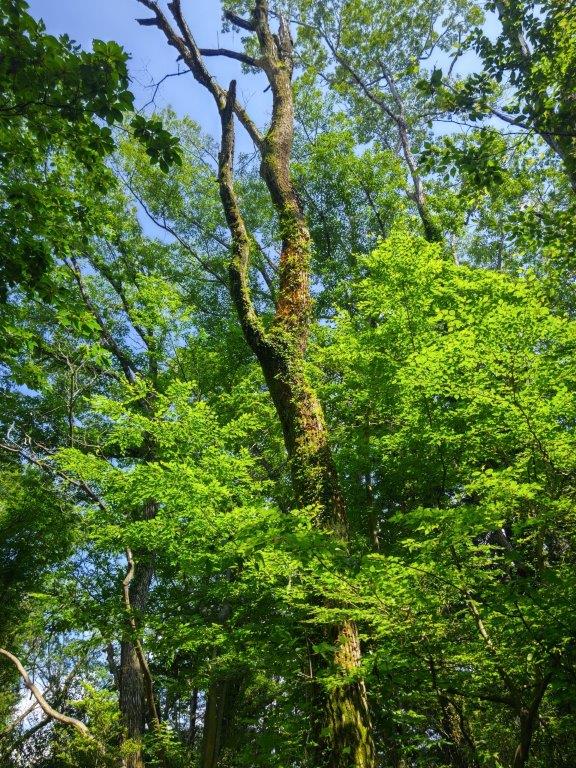
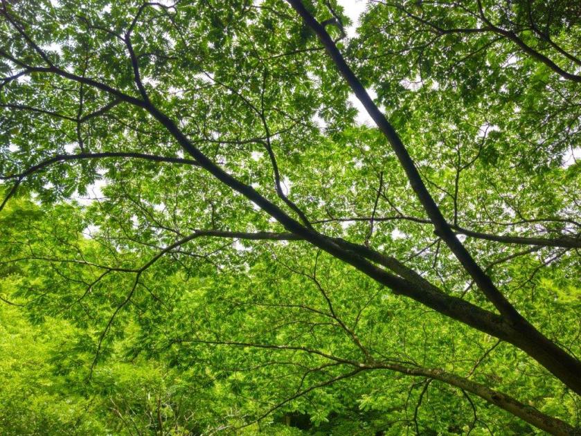
Some Colours on the Descent
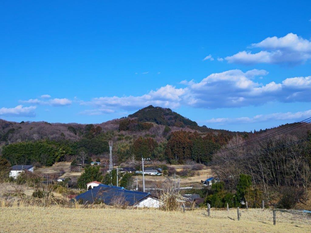
It was a beautiful Autumn day as I rode the Chuo limited express to Kofu city. It was a pleasant drive to Soba Maru, trees lining the roads resplendent in their Autumn colours. At 1230, it was the middle of the lunch rush hour and it took about an hour before I was seated; while waiting, I was able to admire the view of the mountains of Oku-Chichibu, clearly visible at this time of the year. After a satisfying lunch, I quickly set off again, arriving at Tamamiya Zazenso Park (玉宮ざぜん草公園 ) at 2h30, one hour behind schedule.

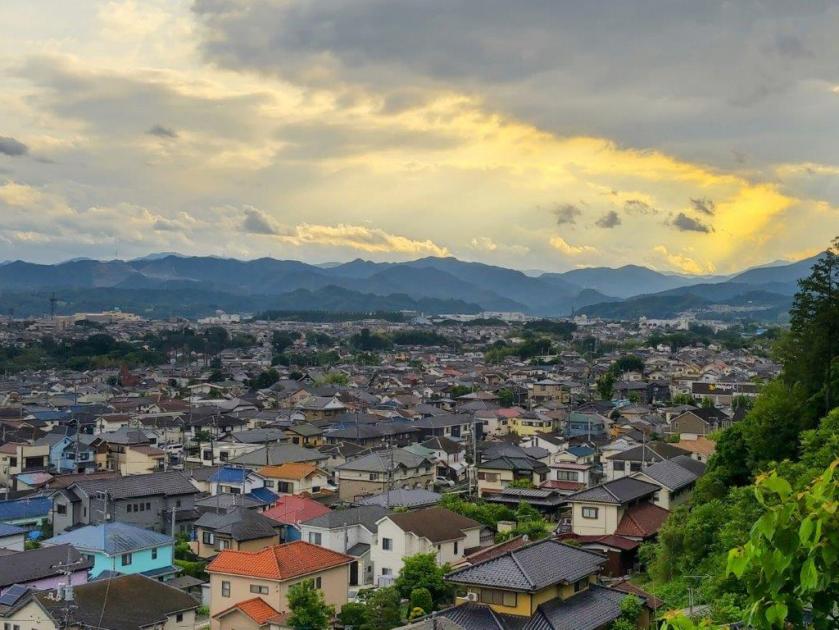
View towards Mt Konara (right) from Soba Maru
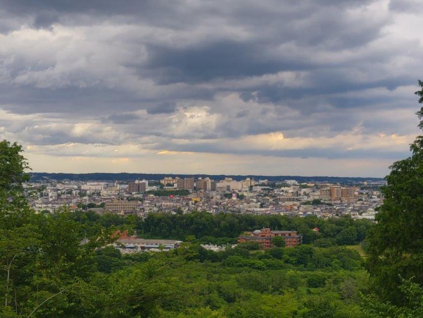
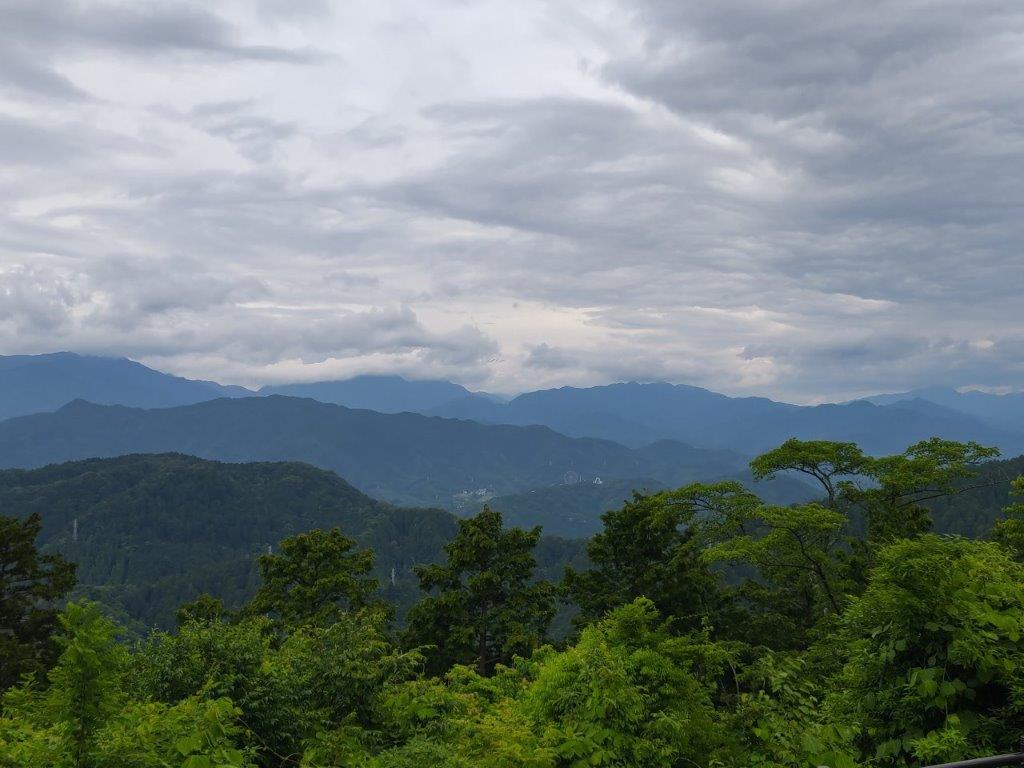
View of the Oku-Chichibu Mountains from Soba Maru
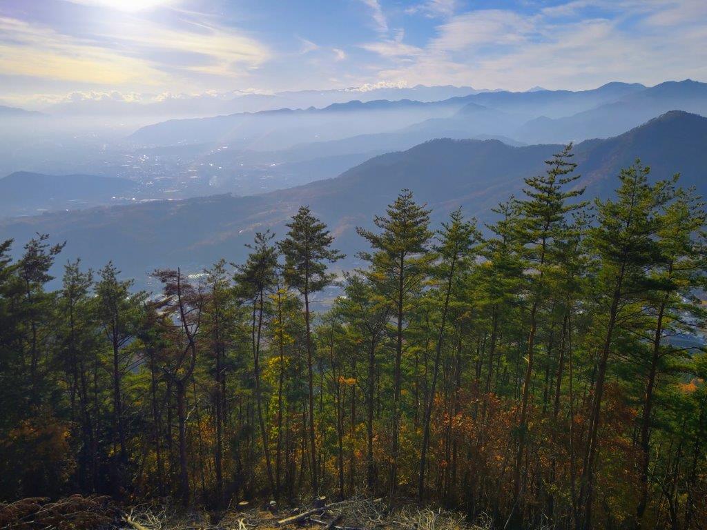
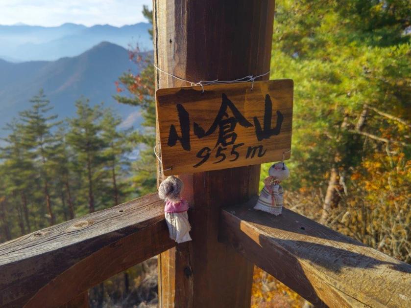
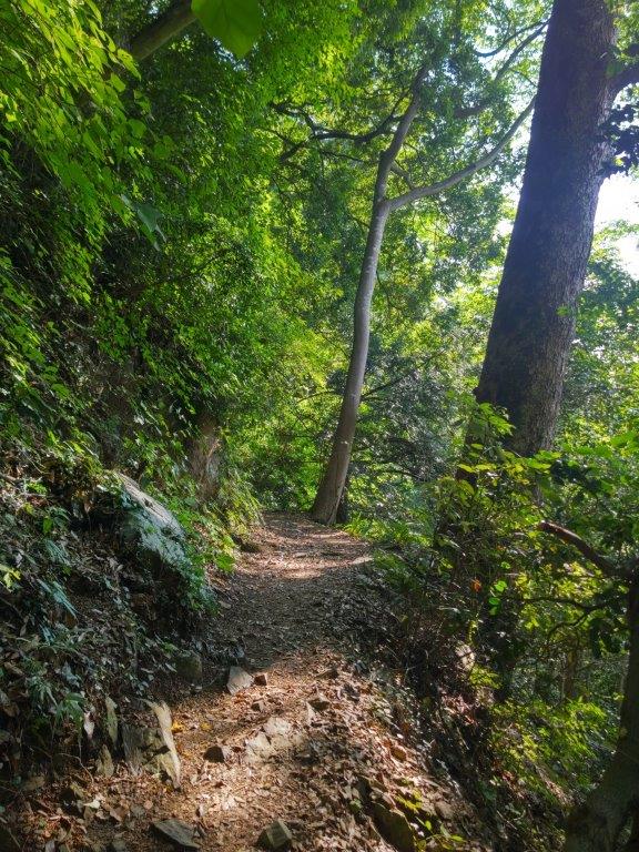
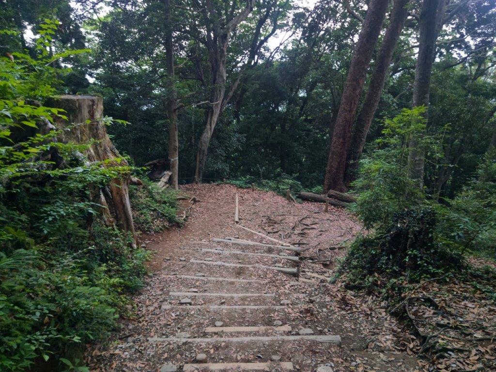
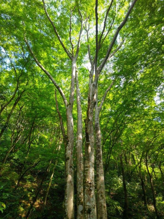
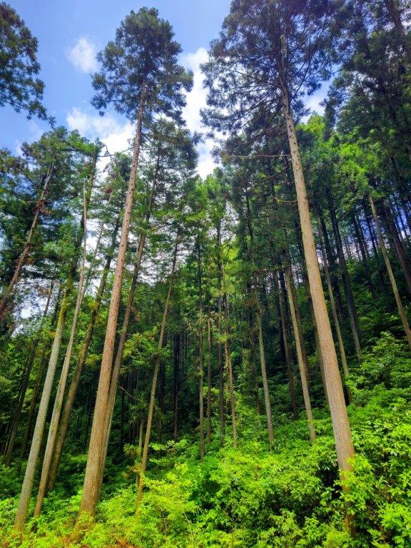
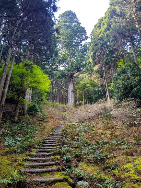
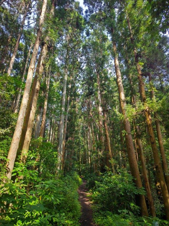
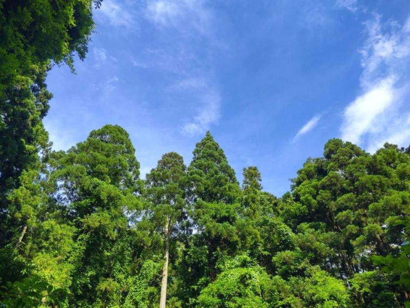
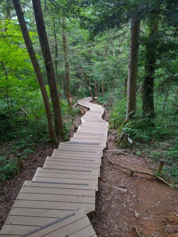
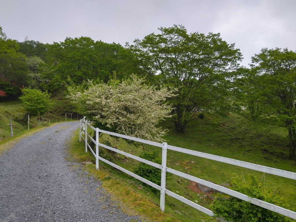
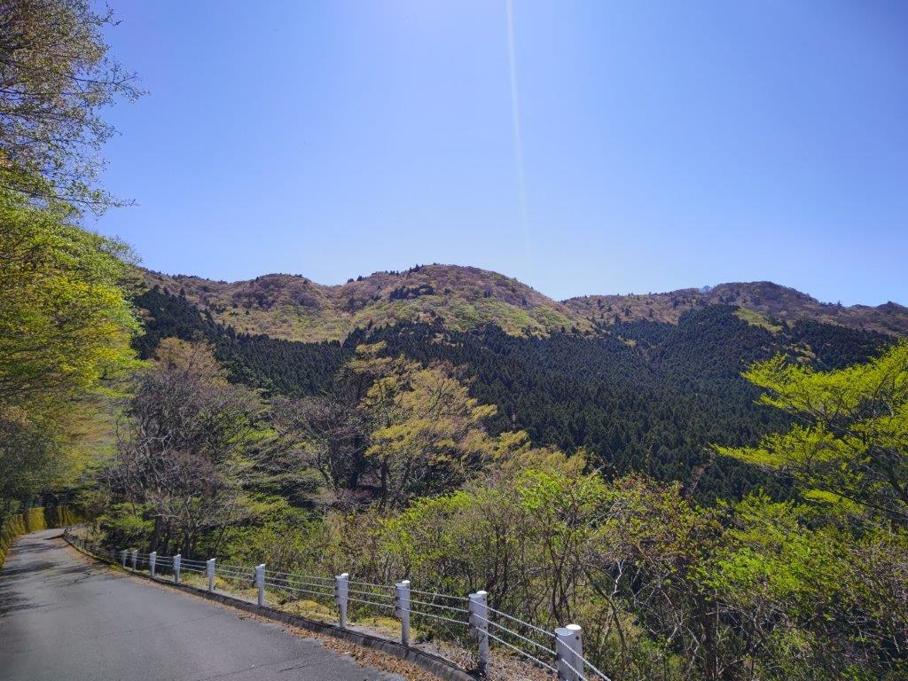
I headed up the main trail, ignoring the wooden walkways on each side as the Skunk Cabbage fields lay dormant in this season. The trail headed straight up a valley already in the shade; the path was covered in yellow leaves, Autumn nearly over at this elevation. At 3pm, I reached the sunny ridgeline, where I turned right. After ten minutes of climbing through dark cedars, I reached the wooden observation tower at the top of Mt Ogura (小倉山 おぐらやまogura-yama) with a view on the South side.
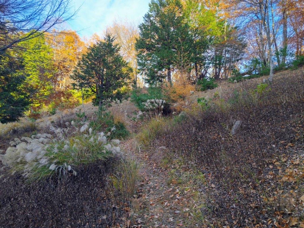
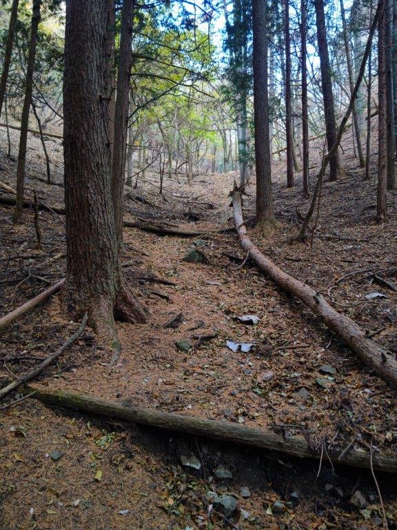
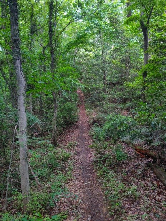
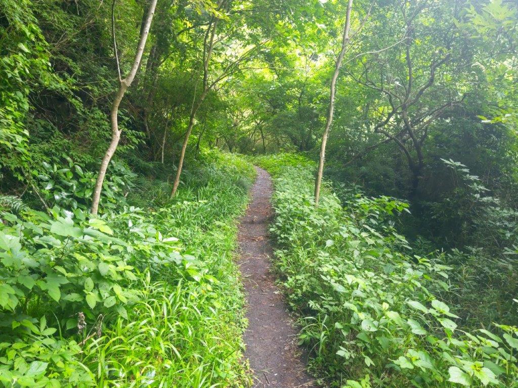
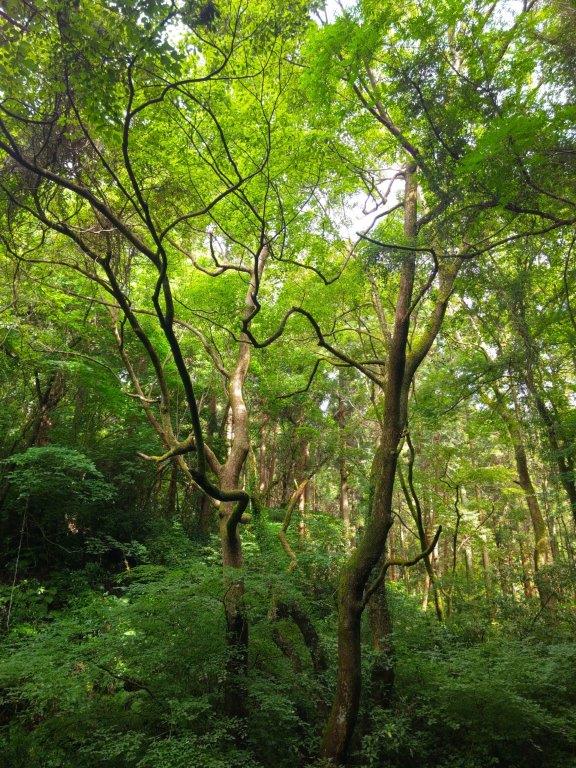
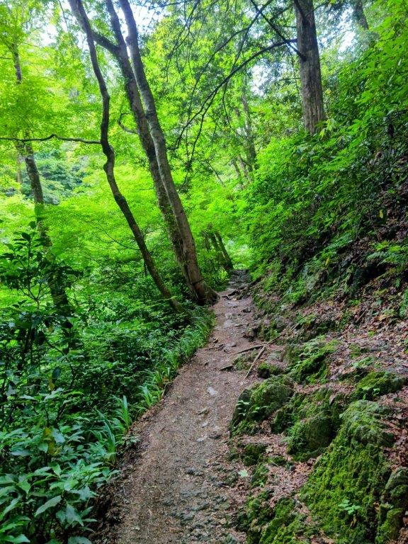
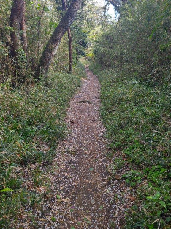
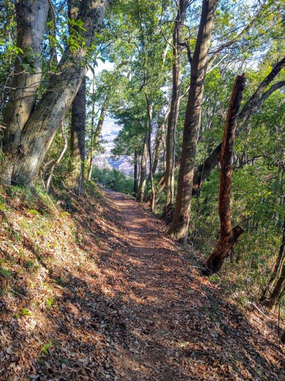
Trail below the Sunlit Ridgeline
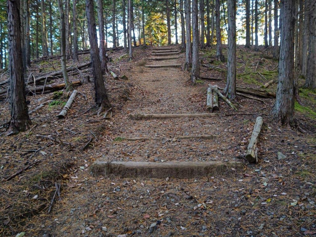
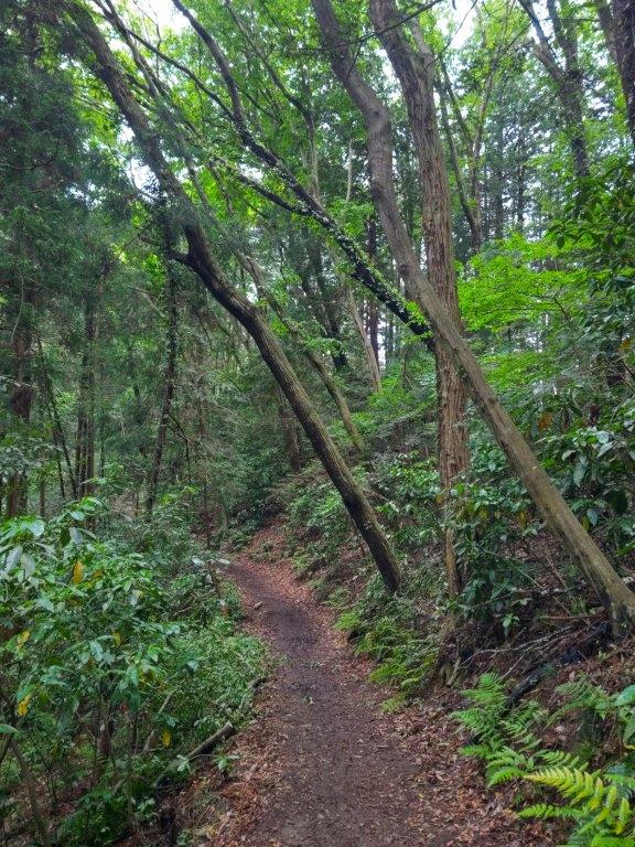
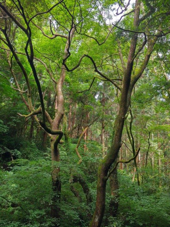
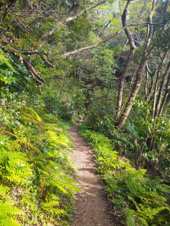
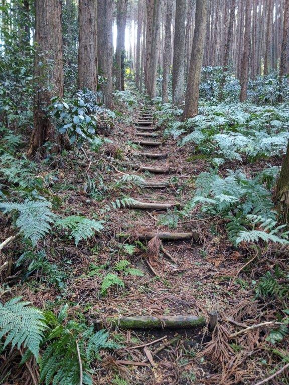
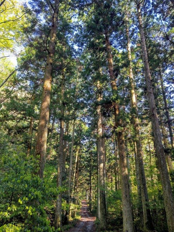
Climbing through Dark Cedars
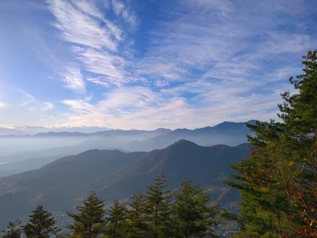
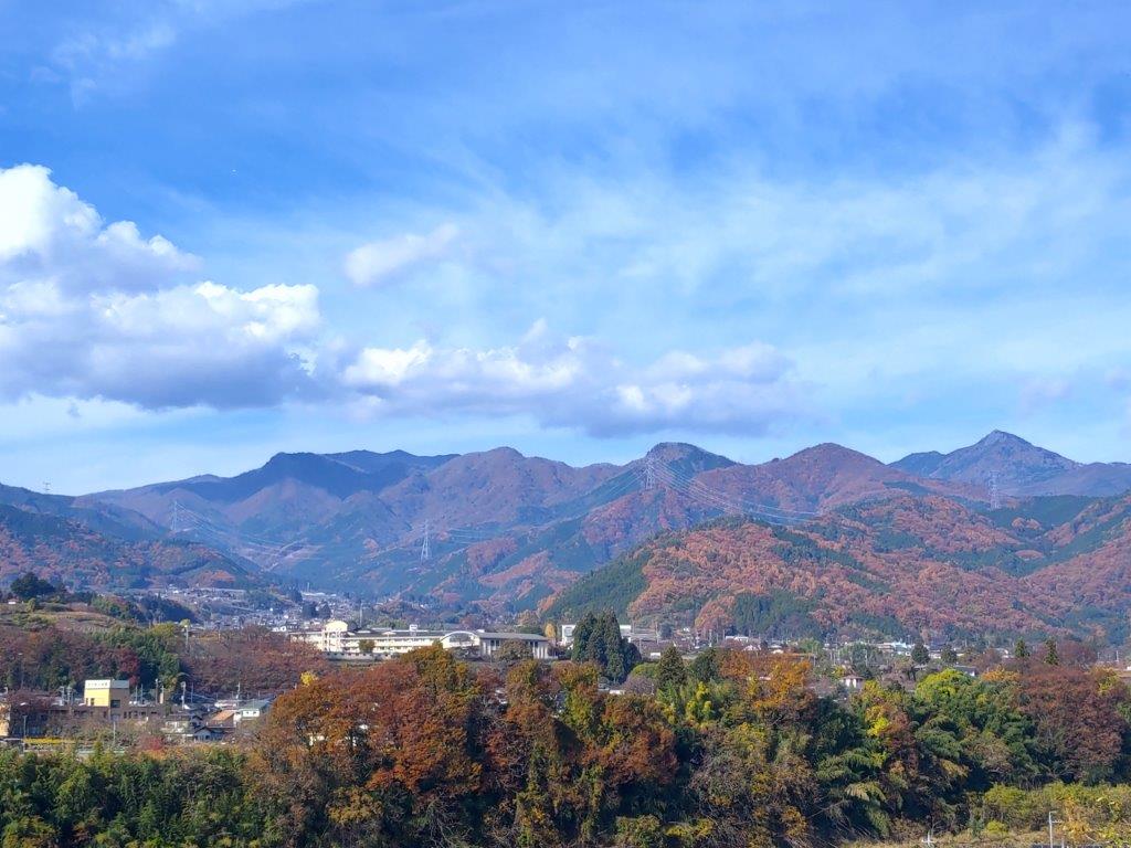
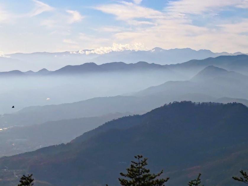
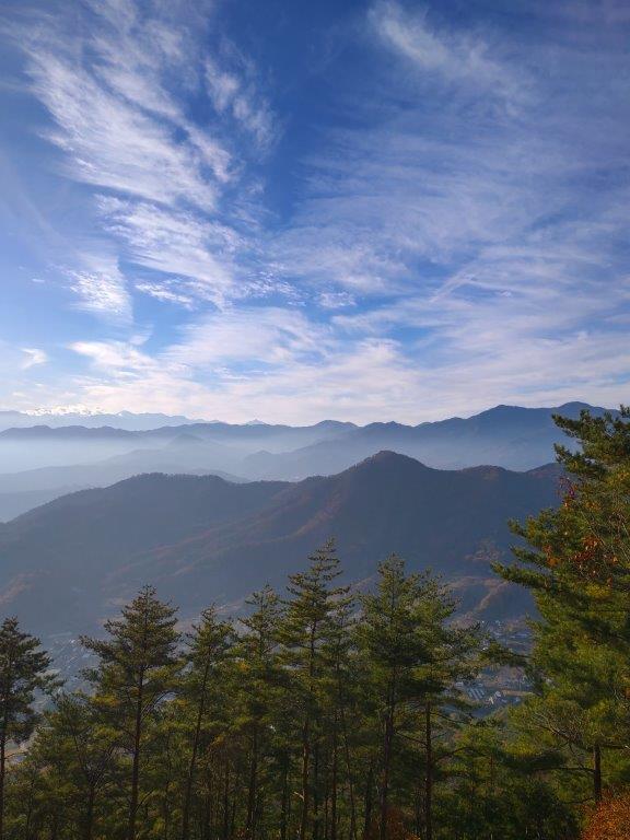
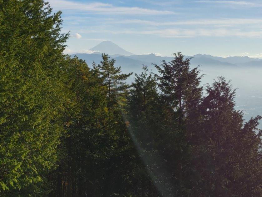
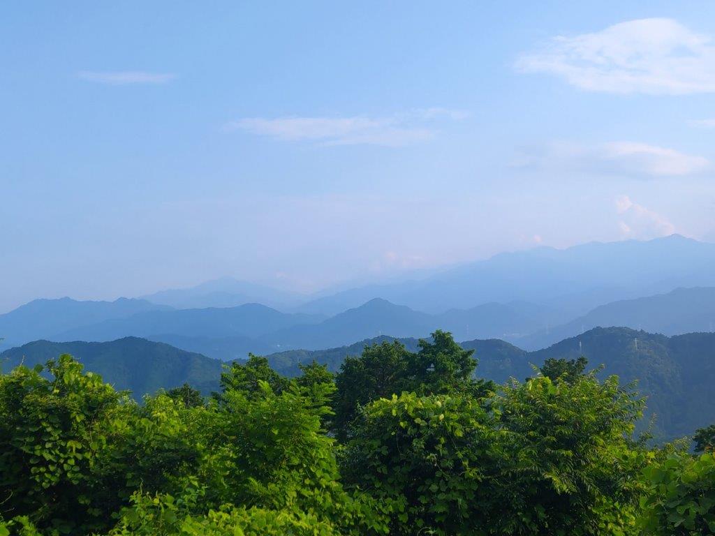
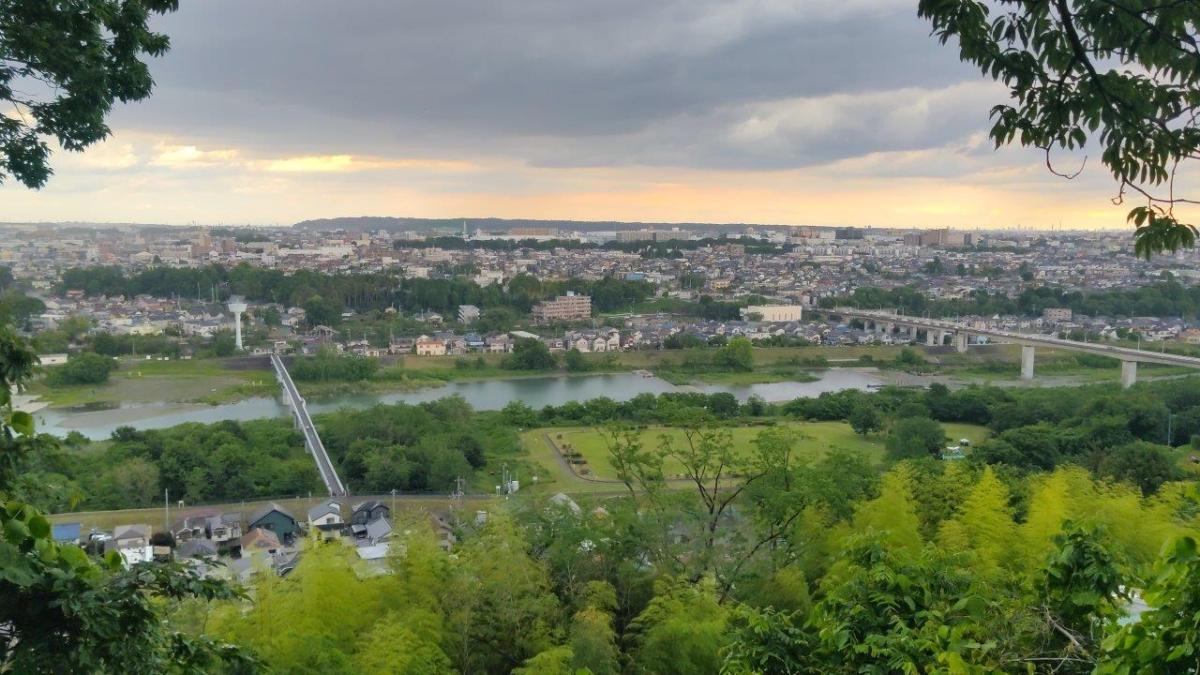
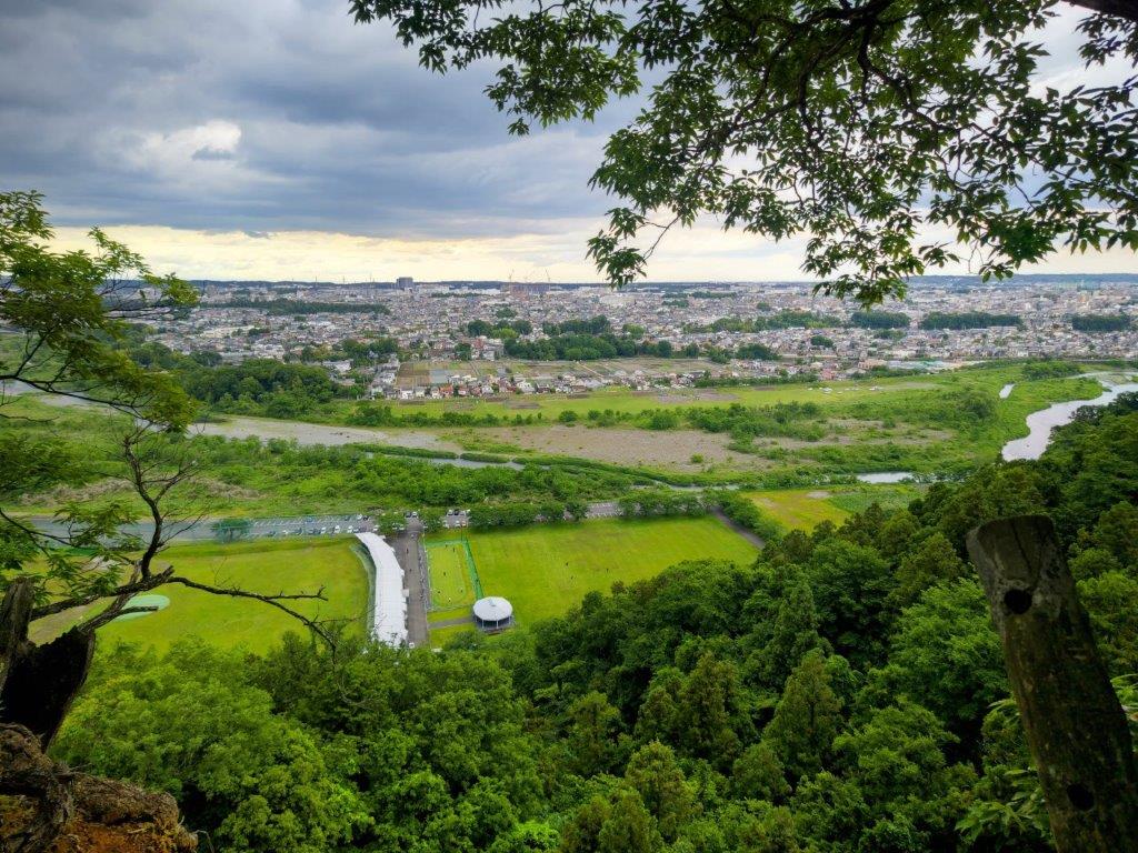
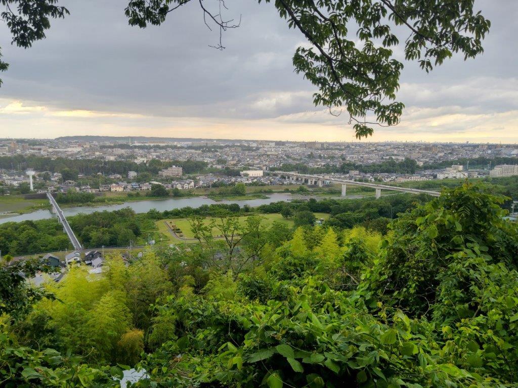
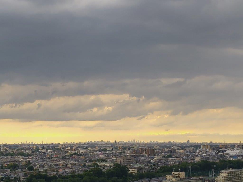
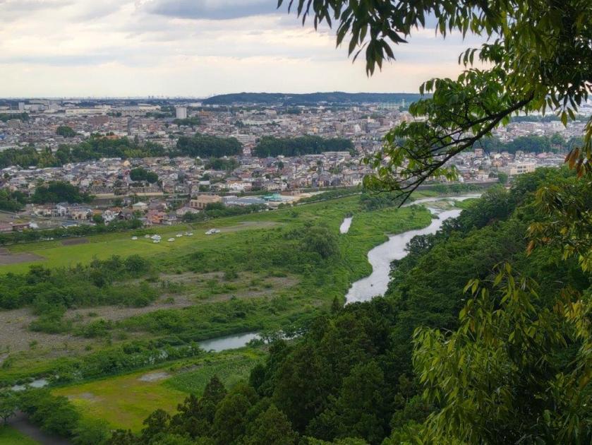
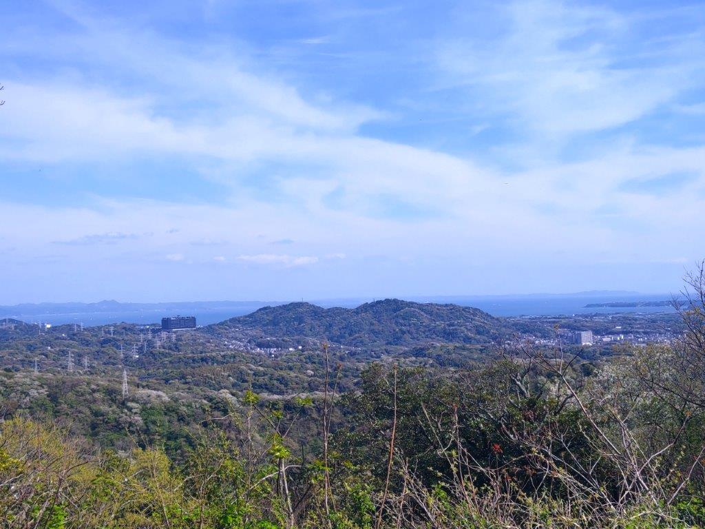
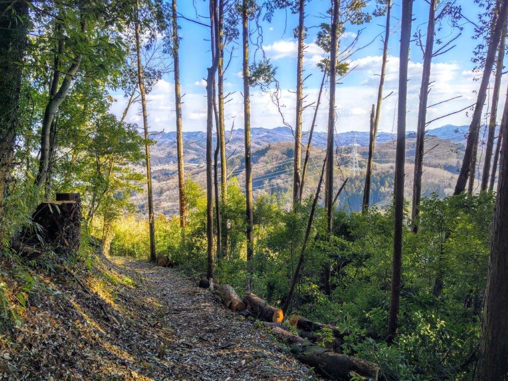
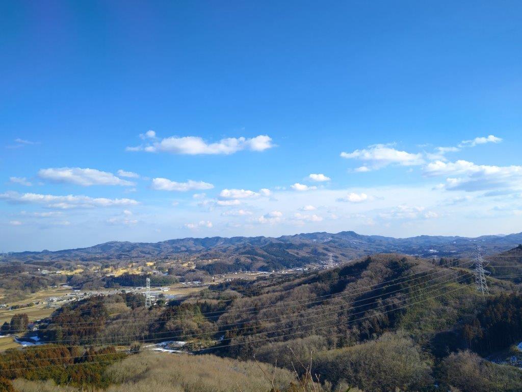
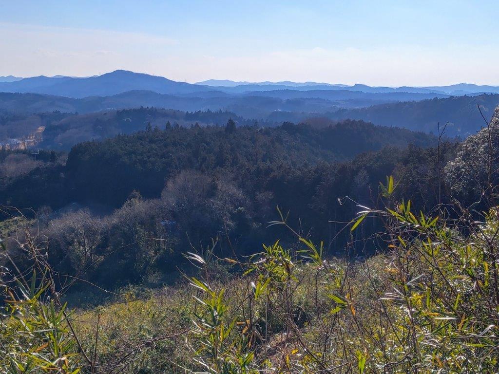
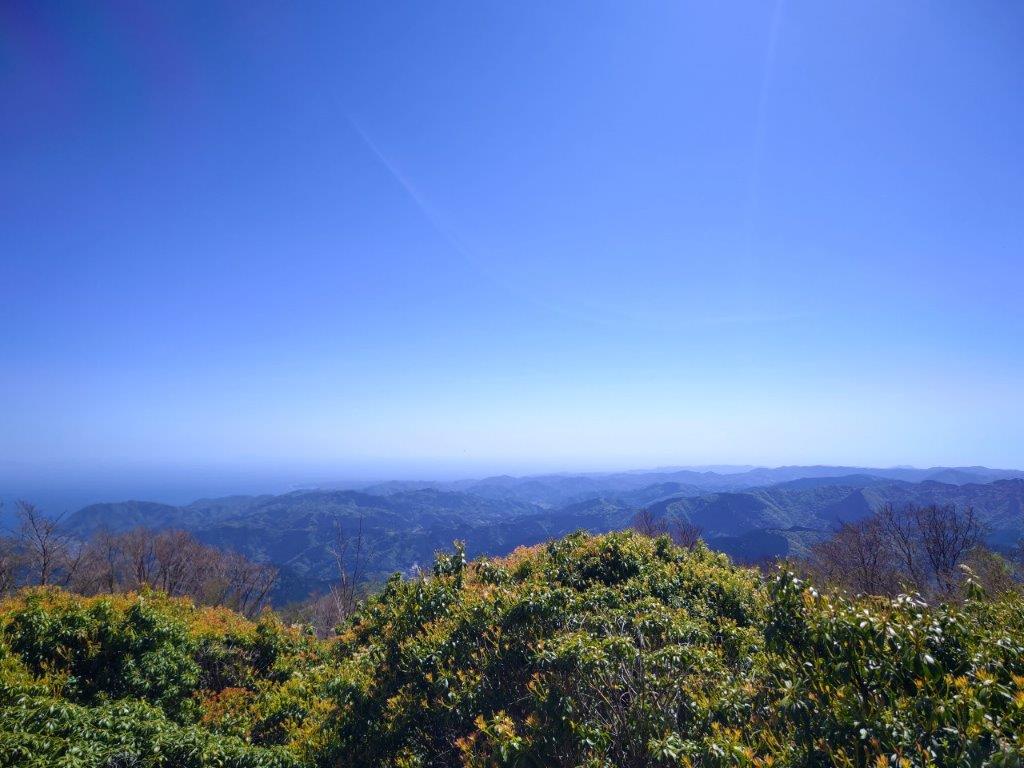
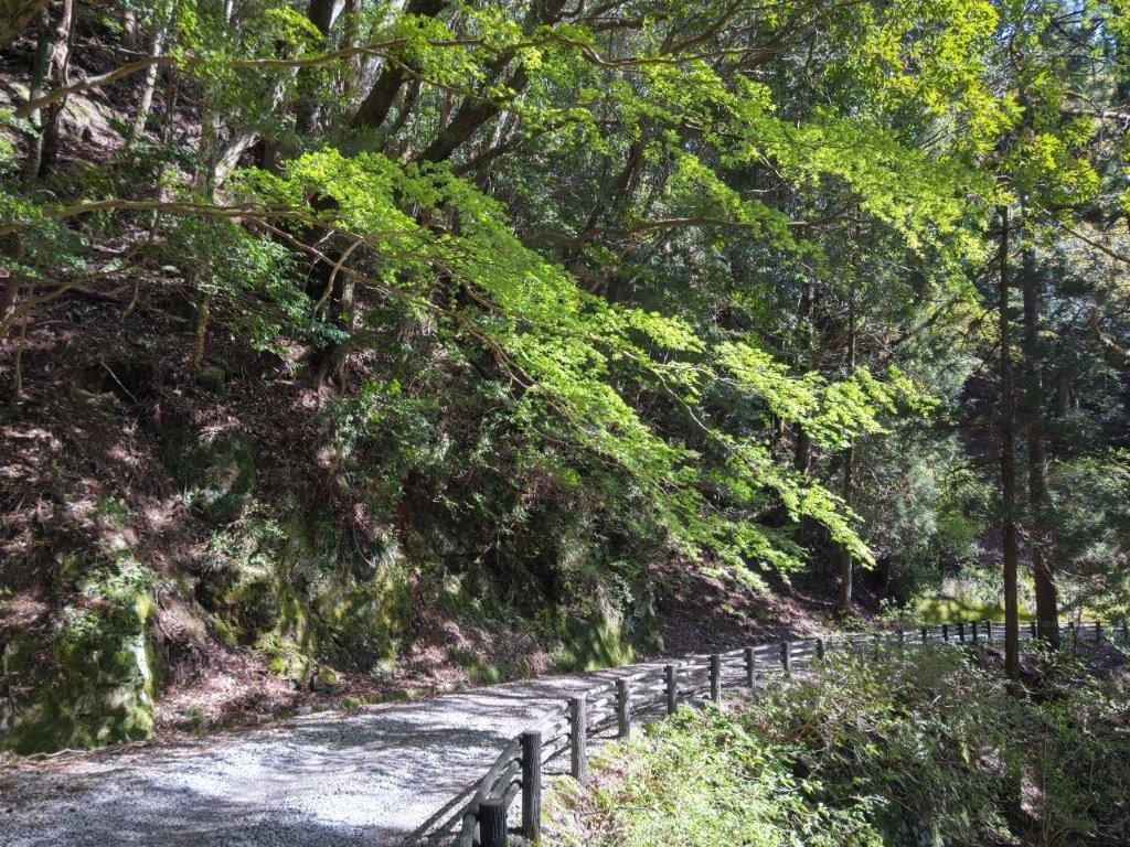
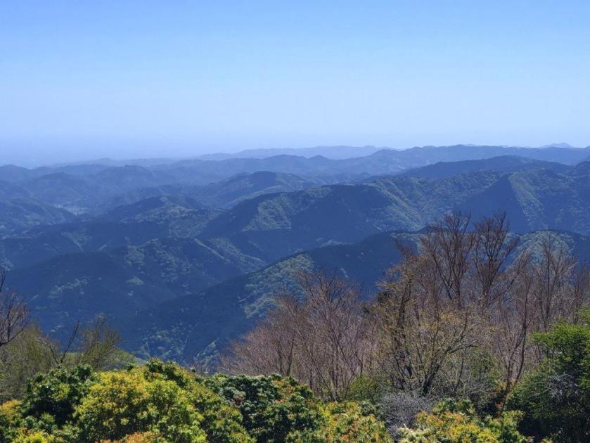
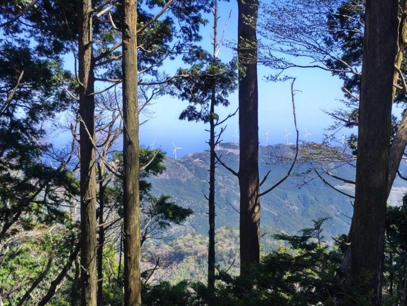
The sun hung low above the horizon, highlighting the misty valleys between rows of mountains, with the South Alps throning in the background, Mt Kita clearly visible in the center. Leaning over the balcony and looking left, I could see Mt Fuji, although its snowcap wasn’t discernable from this distance and at this time of the day. After this magical view, I retraced my steps and continued straight along the ridge, heading northwards. Under cover of another cedar forest, the trail narrowed and became less distinct.

The Ogura Observation Tower
Misty View of the Yamanashi Mountains
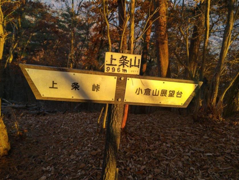
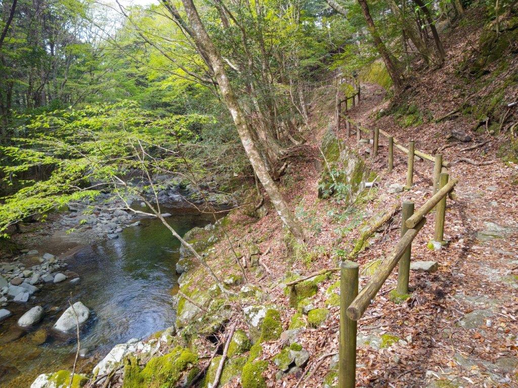
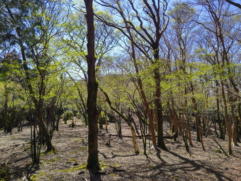
I stepped up the pace, concerned about the late hour. At 4pm, I was once again walking under leafless trees, relieved to be back in the sunlight. At the top of a steep section, interspersed with rocks and lined with roped to indicate the way, I arrived at the minor summit Mt Kamijo (上条山 かみじょうやま kamijo-yama 996m). Although it was completely in the trees, the summit marker was golden in the final sun rays of the day. After a short break, I headed down the north side, descending carefully the steep and slippery, leaf-covered slope.
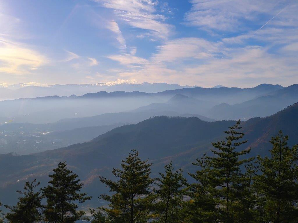
The South Alps with Mt Kita in the Middle
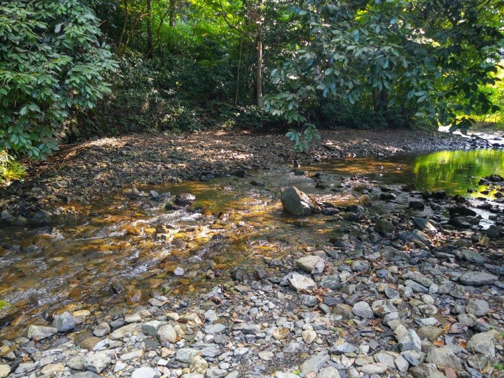
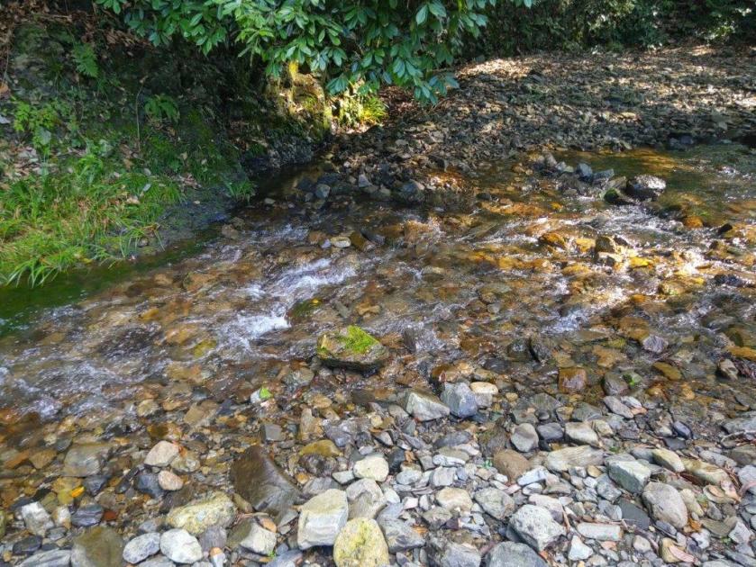
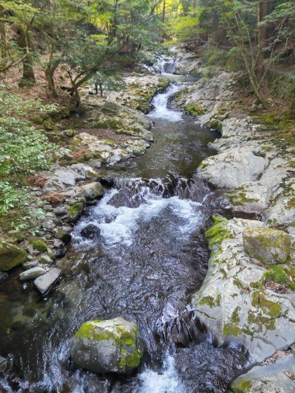
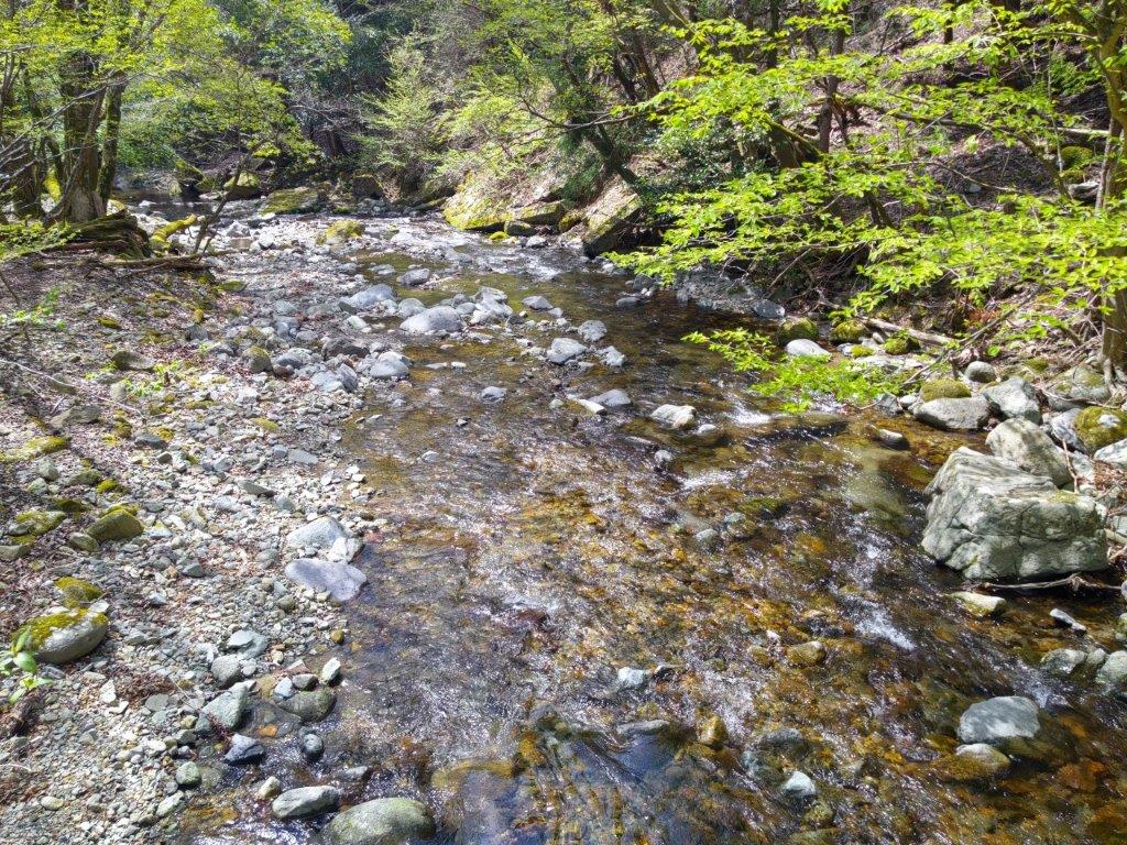
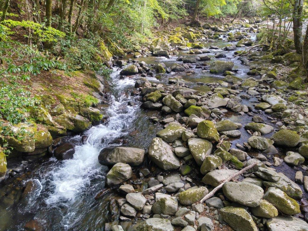
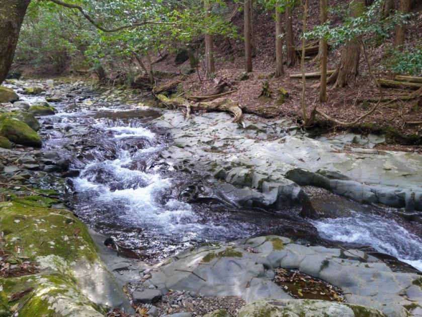
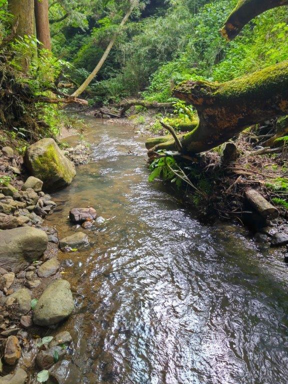
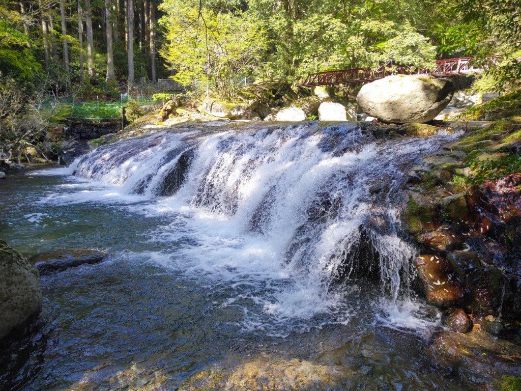
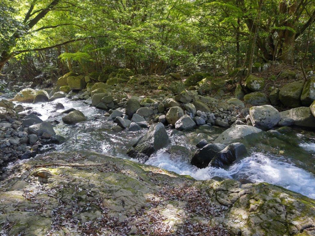
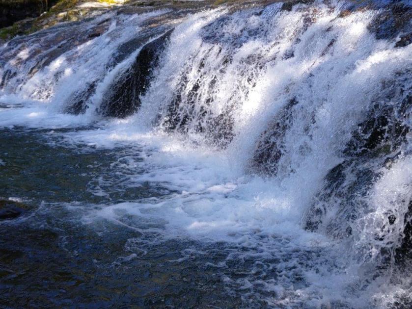
Stream near the End of the Hike
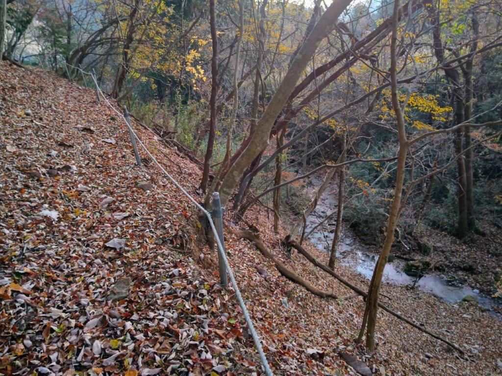
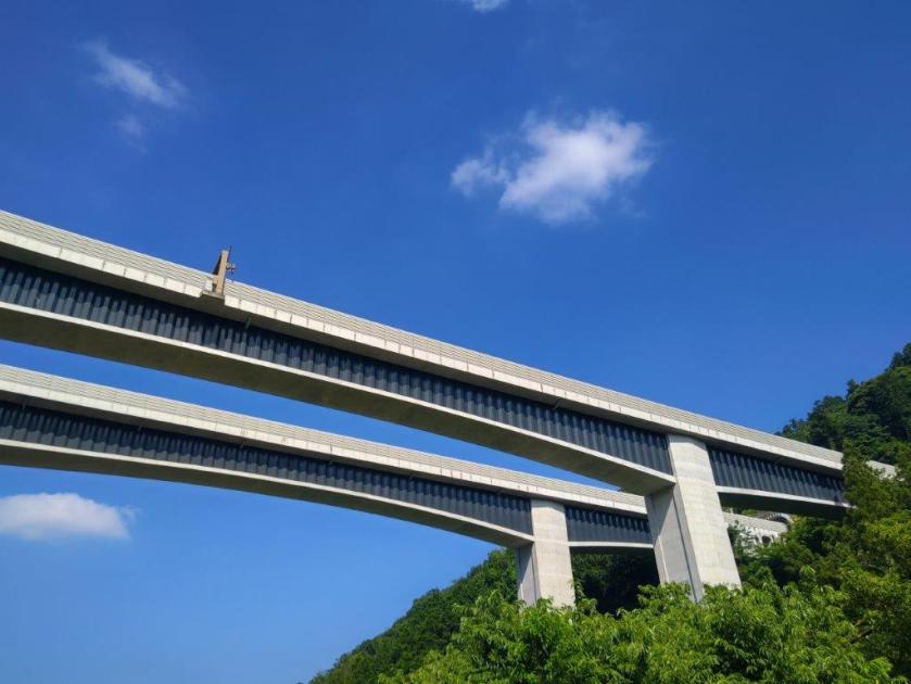
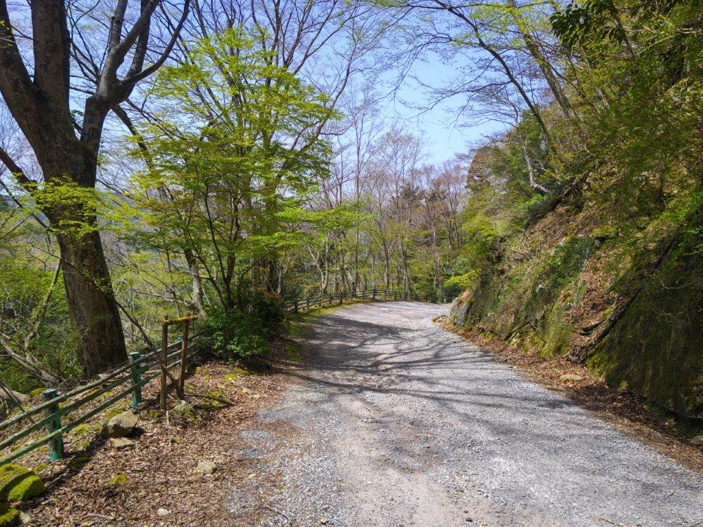
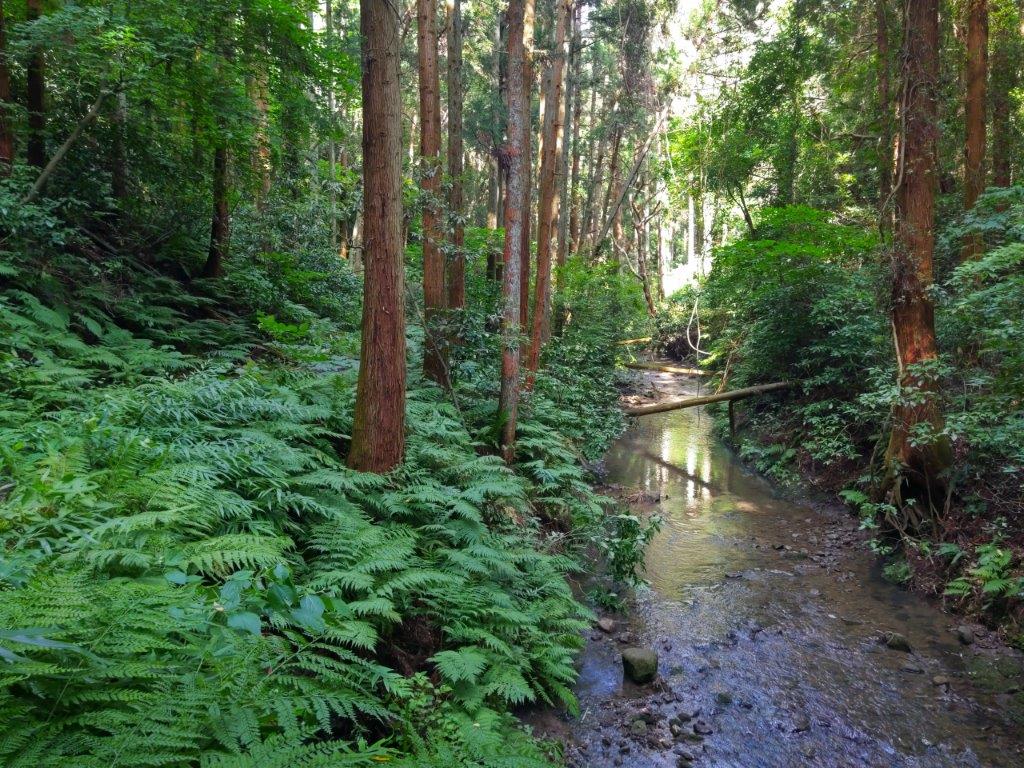
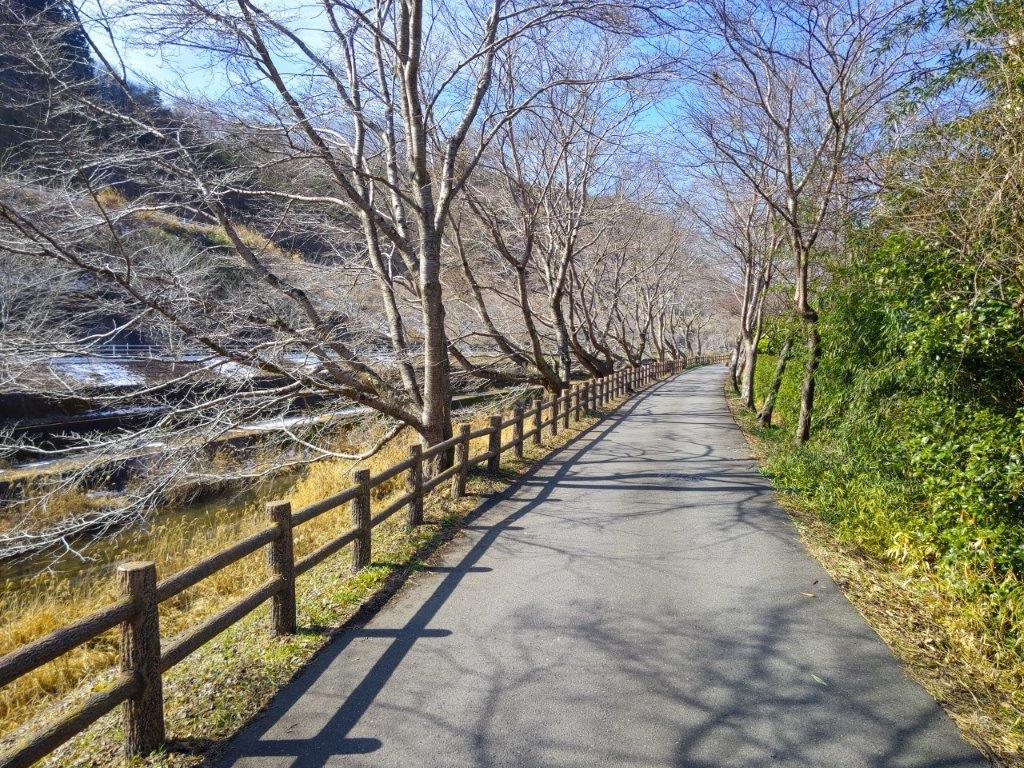
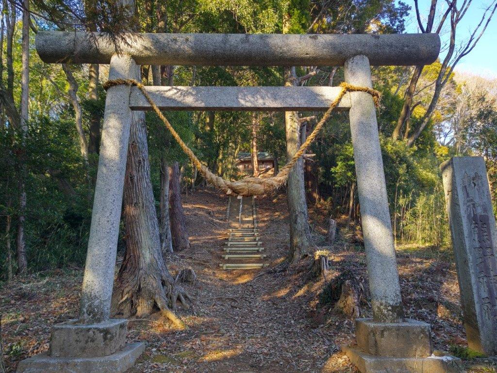
The trail became hard to pick out, forcing me to rely on my GPS and pink strips attached to tree branches. At 4h30, I turned left at Kamijo Pass (上条峠), and headed down a wide valley; here and there, some Autumn leaves remained, adding colour to the early evening darkness. As the valley deepened, the trail gradually became more defined. I soon arrived at a stream where I turned left, now on the last section of the loop. I turned right just before a solar farm, and past Funamiya Shrine (船宮神社), crossed a bridge over the stream. Just beyond was the road, a short walk from the parking which I reached a little after 5pm, just as the last traces of light faded from above the Kofu basin to the south.
Watch a Video of the Hike


See More Pictures of the Hike
![Mt Takao (599m), Hachioji City, Tokyo Prefecture, Saturday, July 5, 2025 [Jataki to Biwa Falls]](https://hikingtokyo.com/wp-content/uploads/2025/08/dsc_1733.jpg?w=1024)


You must be logged in to post a comment.