Mt Settou (1736m), Mt Junigadake (1683m) Kawaguchiko Town, Yamanashi Prefecture

I had already hiked parts of the Misaka mountains – the mountainous area between Mt Fuji and the Oku-Chichibu mountains (for example Mt Ou to Mt Oni). However, I had never hiked the central part, between Kawaguchi and Saiko lakes. I decided to approach from Ashigawa valley on the North side, and finish at lake Saiko, on the South side. I took the Chuo line to Isawa Onsen station, and then the bus to the farmer’s market in Ashigawa 芦川. I had a very good impression of the place since they offered me free tea while I got ready for my hike!

The Fujikyu bus from Isawa Onsen to Ogossoya (the Ashigawa farmer’s market) was discontinued in 2024. Access is now via car, or by bus from Kawaguchiko Station. However, since 2024, a free shuttle bus runs on weekends between Ogossoya and Suzuran.

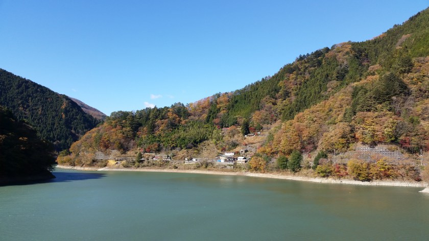
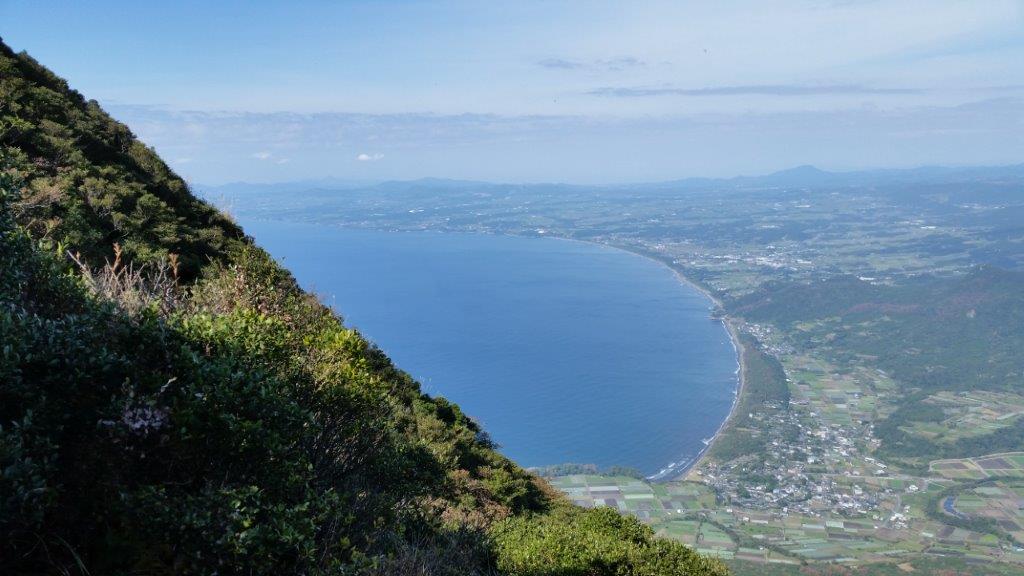
Kawaguchiko City surrounded by nature

I started out after 10am, and walked along the road for about 20 minutes to the start of the trail, which then went straight up the side of the mountain, through trees completely bare of leaves. I reached Oishi pass (1515m) 大石峠 around noon. I had been there once before when hiking from Mt Kuro further to the East. This time I turned right and continued Westards along the ridge.

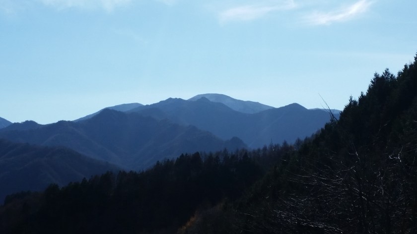
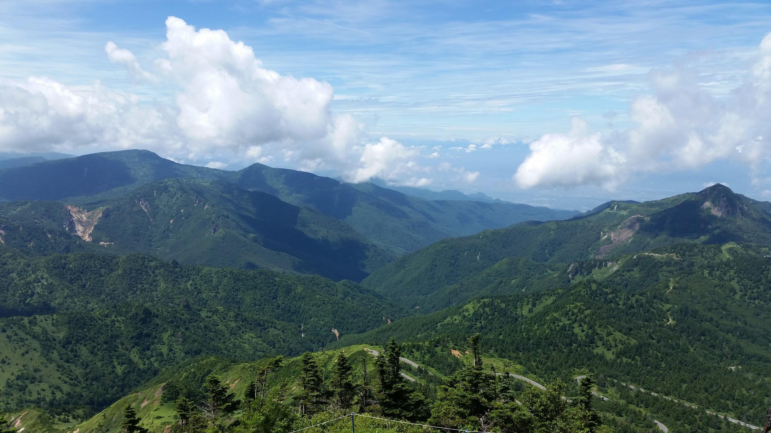
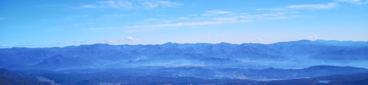
Kofu valley and beyond the Oku-chichibu mountains

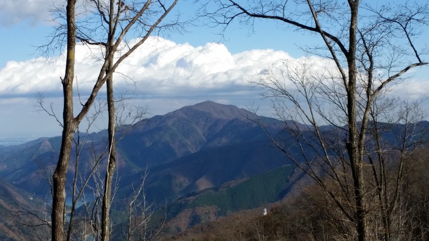
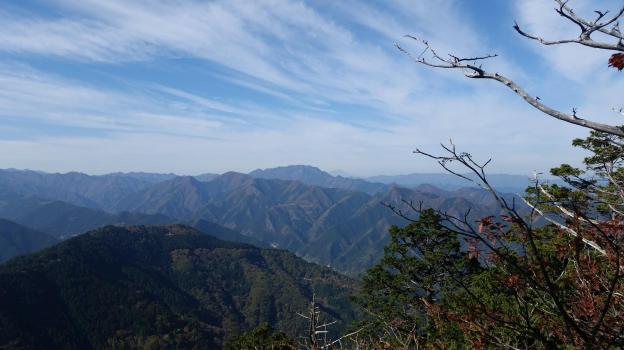
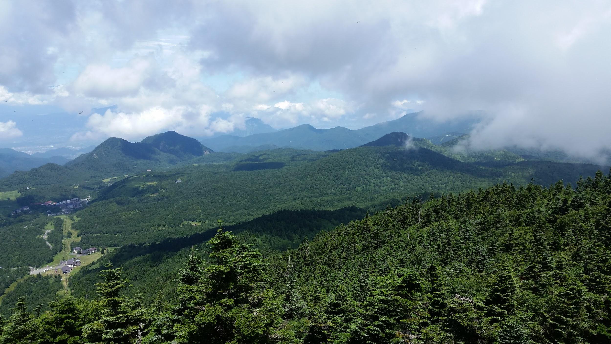
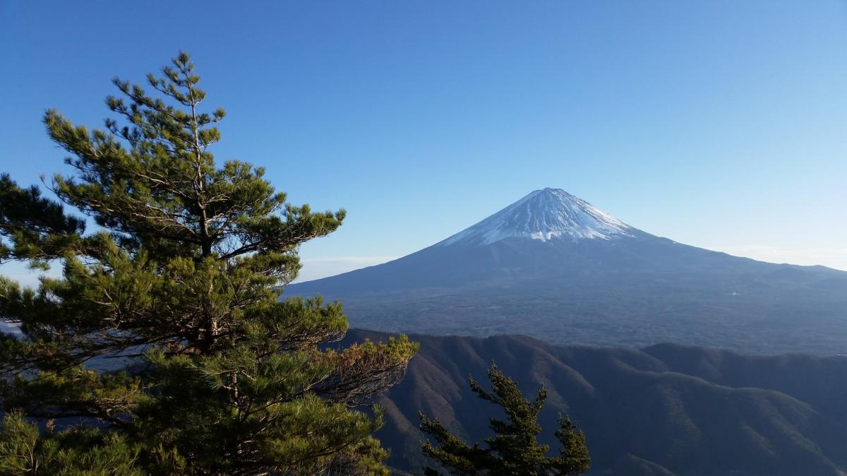
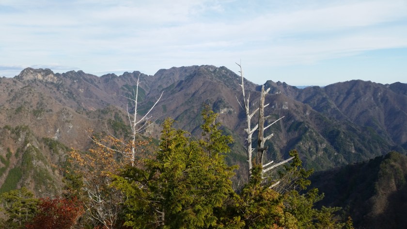
The hiking path went up and down a wide ridge through beautiful evergreen forest. I had occasional views of Mt Fuji to my left, lake Kawaguchi behind me, and the Ashigawa valley to my right. I soon reached the top of Mt Settou 節刀ヶ岳 the third highest mountain along the ridge, after Mt Mitsumine and Mt Oni. From there I could see all the way to the Southern Alps, and the Kofu valley.
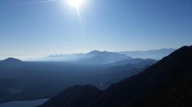
Against the sun, looking back towards Minobu

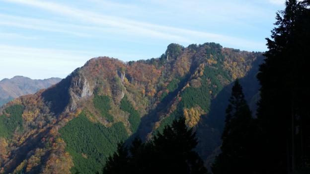
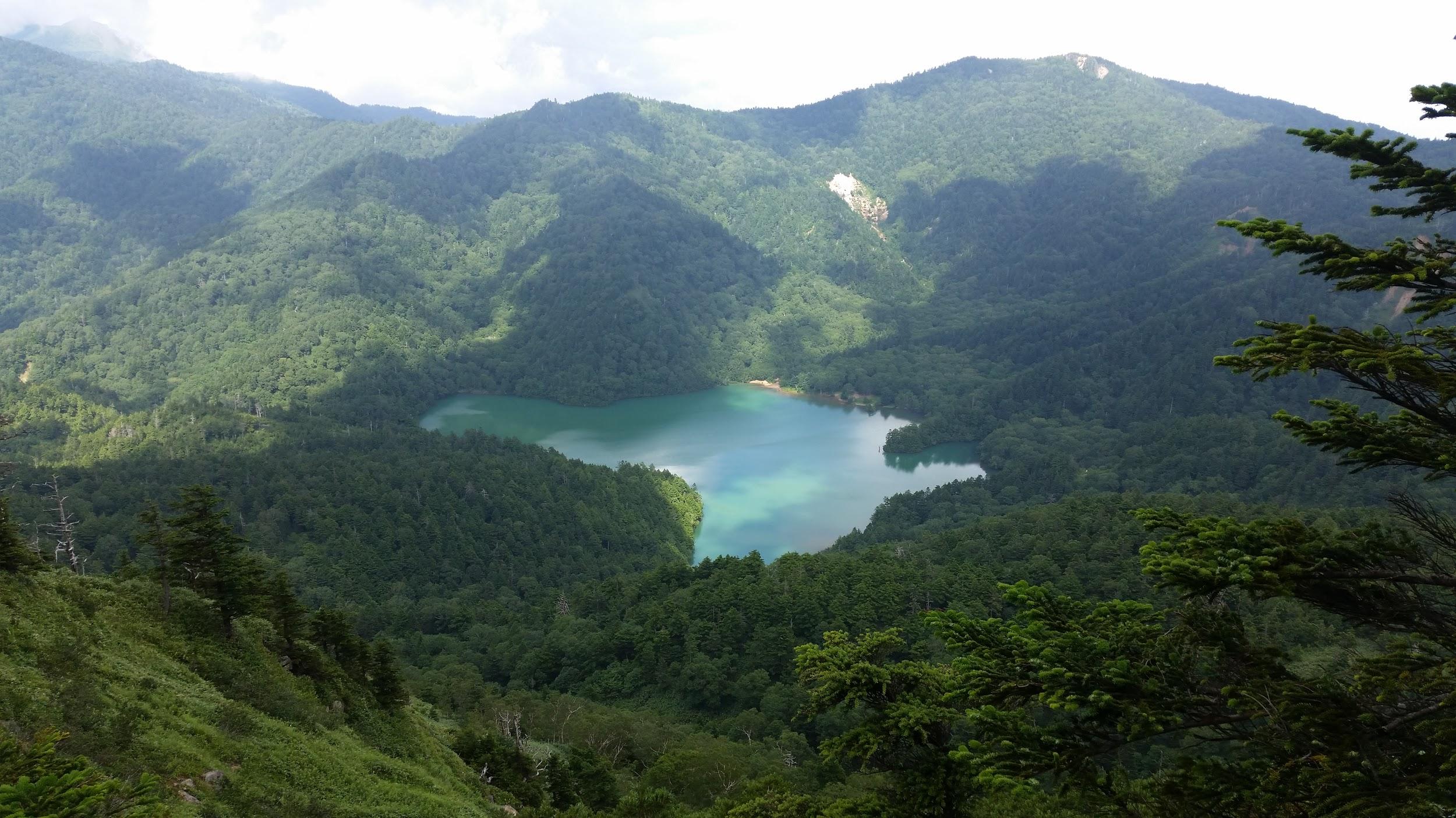
After admiring the view, I started to head down towards Saiko lake. Soon, I had to negotiate a slightly tricky bit involving some rocks and chains. After that, I arrived at the top of Mt Junigadake 十二ヶ岳 which translates simply as “Peak 12”, from where I had some more great views of Mt Fuji ahead of me. I now had two options. The path to the left was an exciting ridge including suspended bridges. Alternatively, I could head straight down to Izumi no Yu, a hot spring on the side of Saiko Lake. Since it was already 3pm, I decided to head down, and leave the exciting ridge for another hike.

The Furthest Mountain, Mt Nanten (1483m), Chichibu City, Saitama Prefecture, Saturday November 25, 2017

20171125_135627

Hiking in the Chichibu Mountains 秩父山地

Less than 100km away from the capital as the bird flies and smack in the middle of the Oku-Chichibu mountains of Saitama prefecture, lies Mt Nanten 南天山 1483m. Despite its relative closeness, accessing the start of the trail requires patience and a desire to explore new places.

Last Saturday, I rose at 6h30, got a seat on the Seibu line Red arrow limited express leaving around 7h30 from Ikebukuro station, hurried to catch the transfer to the Chichibu railway in the Seibu-chichibu station and got off at the last station, Mitsumineguchi at about 9h15.

Unfortunately the bus connection wasn’t ideal and I had to potter around for 45 minutes for the bus for Nakatsugawa 中津川, also the last stop and one hour away, making my arrival time a little past 11am. However I wasn’t there yet. I still needed to walk 30 minutes along a road which eventually turned into a dirt road, till I finally got to the entrance of the mountain trail, leading up a small river valley cleaved into the side of the mountain.

20171125_123044
The path crossed a stream several times over narrow wooden bridges

After removing my inner layer, fixing my bear bell onto my bag and having a quick bite, I was officially ready to start up the mountain, a little before noon or nearly six hours after getting up. Fortunately, unlike my previous trip the week to Okutama the week before, the further I progressed the less people there were – just one other passenger on the bus who got off before the end. This was probably because the autumn leaves season was already over.

20171125_130744
First views of the highest peaks of the Okuchichibu Area

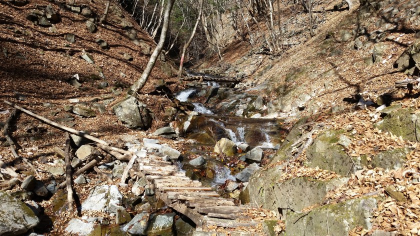
The valley I walked up following a small stream was one of the most beautiful I’ve ever seen. I could only imagine what it must look like in the spring or the autumn. There was a fair amount of stream crossing along fairly new wooden bridges and the path goes up and down the side of the valley, making for a good warmup. Halfway up the valley, I came upon the spectacular Hojirushi waterfall 法印の滝. Even if you don’t climb to the top, it is well worth walking 20 minutes to check it out.

20171125_121912
The Hojirushi waterfall along the Kamakura River

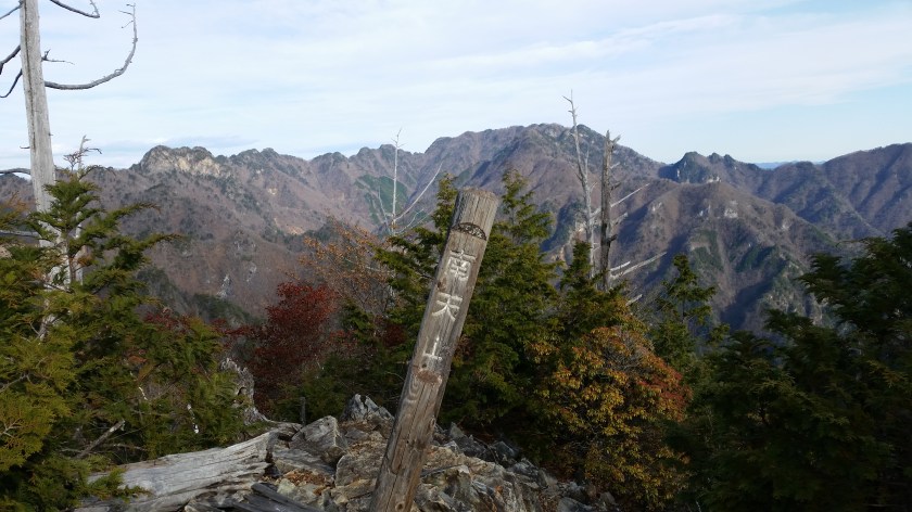
Twenty minutes further upstream, a zigzagging easy to walk path on the left takes you up to the top ridge where you progressively make your way to the highest point. The last part gets rather rocky and feels rather wild – hard to believe that you are in Saitama, especially when you reach the top and see nothing but mountains in all directions. Directly opposite one could see the massive bulk of Mt Ryokami and in the background Mt Asama already covered in snow,

I headed down a little after 2pm down another zig-zagging path and then joined up with the previous stream valley and legged it back to the road. I was able to take a quick bath before getting on the return bus a little after 4pm. This bus, the last one of the day, took me directly to Seibu Chichibu station in about 90 minutes where after a thirty minute wait, I got the next Red arrow limited express back to Ikebukuro, arriving at 8pm, taking me only a little less time than on the way there.

20171125_135325
The summit marker of Mt Nanten with Mt Ryokami in the background

Enjoy the contrast between the rushing water and the silent summit


Overcoming travel trouble in Okutama

Mt Shishigura (1288m), Okutama Town and Tabayama Village, Tokyo & Yamanashi Prefectures, Sunday November 19, 2017

20171119_105526

Hiking in Okutama 奥多摩

Yesterday I went for a hike in the Okutama area, starting from the Western edge of Okutama lake at  Miyama Bridge 深山橋, going up Mt Shishigura 鹿倉山 1288m (not Shikakura as the Kanji suggests), and ending up at the Nomekoiyu のめこい湯 hot spring.

However it isn’t about the hike itself that I wish to write but rather about getting to and back from the area in the general. The trouble with Okutama is that it mostly sits within the Tokyo prefecture, one of the most populated areas in the world, and thus the trains and buses are packed, especially during the autumn foliage season.

Fortunately when I went out there on a whim yesterday (bad weather threatened my preferred options), I was able to sit all the way there and back. Seeing that the total travel time was nearly 5 hours, I feel that this considerably enhanced my experience, and it only required a little planning and some luck.

First, I turned up at Shinjuku station 20 minutes before the scheduled departure time of the direct train to Okutama and positioned myself first in line at the appropriate spot on the platform (indicated by an overhead sign). The train pulls in ten minutes early since it starts from Shinjuku so the rest of the waiting time is spent sitting comfortably.

After arriving in Okutama, I got off as quickly as possible and lined up for the bus. Despite the crowds it only took me a few minutes since I had previously charged my Pasmo with a generous amount of money and skipped the bathroom. Once out of the station I swooped onto the first bus attendant I saw to confirm where I should line up for my bus (the one for Kosuge no Yu 小菅の湯). I had perhaps a dozen people ahead of me but I still managed to snag one of the last seats.

On the return, I sacrificed some bath time in order to get to the bus stop ten minutes early. I was third in line which doesn’t necessarily guarantee a seat since the bus starts further up the valley. When the bus turned up, the line behind me had grown to a dozen people and there were only about 5 seats left. My gamble had paid off and I got a good seat too, one with space for my long legs.

There was some traffic on the way back and I was worried that I would miss the last direct train back to Shinjuku but thanks to the experienced driver we got to the station with time to spare. Repeating the same strategy as in the morning (move quickly, well-charged pasmo, skip bathroom break) I got a good seat on the train and the return was as smooth as one could hope for. Obviously these tricks only work if you are hiking by yourself or maybe as a pair (or you have good bladder control).

20171119_131529
Mt Odake, one of the three famous peaks of the Okutama area

As for the hike itself, it was the kind I like. Steep ascents at the beginning, gently sloping ridge line in the middle, alternating views of forest and mountains, and a good wide path for most of the descent. I only crossed a small group of people during the whole hike. Unfortunately I can’t recommend this hike since at times the trail was hard to find / follow and the last part of the trail had somewhat collapsed and was difficult to walk. I hope they repair it soon and also put up more trail makers.

One final note: the Nomekoi Hot spring is only 300 yen but at present the rotemburo (outside bath) is closed for construction. However the inside bath has a high wooden slanting roof which gives it a traditional feel so it is definitely worth taking a bath there.

20171119_131007
The long ridge leading to the summit of My Kumotori (on the left), the highest point in the Tokyo prefecture, as seen from the ridge below the top of Mt Shishigura.


Mt Myoho (1332m), Chichibu City, Saitama Prefecture

The starting point for this hike was Mitsumine Shrine, a place I had visited a few times before, but had never really taken the time to explore. Since today’s hike was relatively short, I first took some time to check out the Mitsumine visitor center, one of the starting points for visiting the Chichibu-Tama-Kai National Park. It was a pleasant surprise – I found the displays of mounted animals and the model relief of the area particularly interesting.

View of Mt Wanakura (also known at Mt Shiroishi and climbed in 2018) from Mitsumine Shrine

After spending nearly an hour at the visitor center, I hurriedly set off along the hiking path up Mt Kumotori. The autumn colours were at their peak, and since it was a weekday, I had them mostly to myself. Very soon I reached the turnoff for today’s mountain, located on a small ridge branching left off the main ridgeline. In less than an hour, I reached the small shrine at the top of Mt Myoho (妙法山ヶ岳), from where I got some great views of Oku-Chichibu, with Mt Ryokami in the center.

View of the jagged peak of Mt Ryokami from the summit

After lunch, I headed back to the shrine, and since it was still early in the day, I took some time to check out the shrine grounds – it was beautiful with all the autumn colours. At the back, there was a spectacular view of the mountain I had just climbed as well as Chichibu city.

Good views from the trail heading down from Mt Mitsumine shrine

Afterwards, I located the hiking path leading down the mountain. Although there were a number of people at the shrine, no one seemed interested in hiking down, so once again, I had the path entirely to myself. Unfortunately, it wasn’t possible to hike all the way down to the train station, and the path ended up on the road, from where I caught an express bus back to Seibu-Chichibu station.

Mt Hakusan (2702m)& Mt Arashima (1523m), Ishikawa and Gifu Prefectures, September 2017 [Maps Available]

Hiking the hundred famous mountains of Japan 日本百名山

Hiking in the Hakusan National Park 白山国立公園

白山 (はくさん hakusan)

荒島岳 (あらしまだけ arashimadake)

Get a map of the Mt Hakusan hike

Get a map of the Mt Arashima hike

These maps were developed for Japanwilds with the Hokkaido Cartographer

Find more Japan hiking maps on Avenza

Top of Mt Arashima from the Nakande trail

View towards Gifu from Midori Pond

See the Sunset & Sunrise from Mt Hakusan and the dragonflies of Mt Arashima

Mt Yokote (2307m) & Mt Shiga (2037m), Yamanouchi Town, Nagano Prefecture

I did this hike with my mother who was visiting Japan for a couple of weeks. Since it was quite far from Tokyo, we rented a car in Takasaki, and spent the night in a traditional Japanese inn, or “ryokan”, in Kusatsu Onsen. The next morning was sunny, but by the time we had made our way all the way up to Yugama Lake 湯釜 the clouds had rolled in. We admired the light blue colour of the crater lake, but gave up on climbing Mt Kusatsu-Shirane. I had climbed it before in the clouds, and had little interest in doing it again in similar conditions.

A beautiful crater lake

We drove on to Yokoteyama Ropeway which took us to the top of Mt Yokote 横手山. We got some nice views of Shiga Highland 志賀高原. Fortunately, the Nagano side was still free of clouds. We finally arrived at Kumanoyu (meaning the bear’s bath) where we left the car. We were now firmly inside Nagano prefecture. Another short ropeway took up to the start of the hike. Luckily, the weather was holding up. The first part was quite level. At one point the path went through some very high bamboo, higher than our heads, and I was worried about bears. So I reached into my bag to retrieve my bear bell only to realise that I had left it in the car!

View from the top of Mt Yokote

Soon the path started to climb. It was steep, with big rocks and protruding tree roots, making progress slow. The path slowly wound up the side of the mountain. We saw few people, and thankfully no bears. We reached the top of Mt Shiga 志賀山 just before 2 pm. A little way past the summit, there were some good views of Onuma-ike Lake below. The whole hike is inside the Joshin Etsu Kogen National Park and is very wild and beautiful.

The area of our hike – Mt Shiga is in the clouds on the right

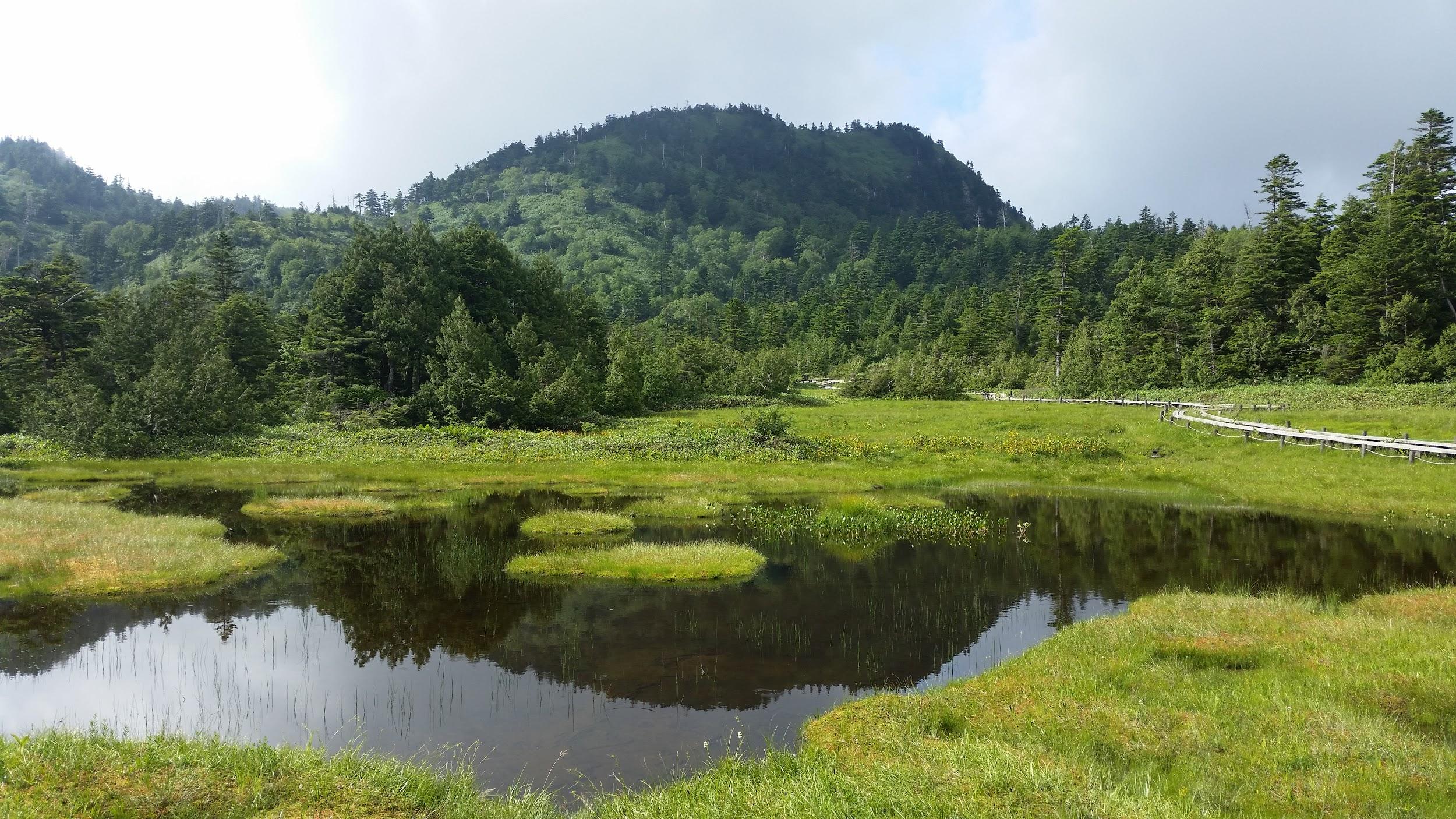
We climbed down via a different path, spotting various small ponds on the way. Finally, after passing through a shinto gate or “torii”, we reached the base of the cone-shaped Mt Shiga. The next part involved walking along an elevated walkway through marshlands – much easier than the rocky path down the mountain! The final part back to the ropeway was along a wide and level path through the forest.

Onuma Lake in the middle of Shiga Highland

Since it was getting late, we decided not to take a bath at Kumanoyu, and leave right away. No sooner had we set off, that a dark shadow dashed across the road – it was a bear cub. It disappeared into the bushes opposite. We waited a bit for a mother bear, but she was nowhere to be seen. In any case the place certainly deserves its name!

Elevated walkway through the marshland 

On the way back, we stopped briefly for some photos at the marker for the highest national road in Japan at 2172m high. The drive down to Kusatsu onsen was through thick mist. We had a bath at the Sainokawara open-air bath, one of the biggest in Japan. After we were done, it started raining really hard, but we managed to get back to Takasaki safe and sound, a little after nightfall.

Hiking up and down Mt Shiga

Nikko-Shirane Ropeway & Goshiki-Numa Lake, Katashina Town, Gunma Prefecture

I did this hike with my mother who was visiting Japan for a couple of weeks. Since it was quite far from Tokyo, we spent the night at the Takasaki Dormy Inn Hotel, and the next morning, I drove to the Nikko-Shirane Ropeway. Even though it was a weekday, I was surprised by how few people there were, especially since it was the middle of the summer holidays. The place is mainly a ski resort in the winter so perhaps people aren’t aware that it also runs from June to October. I love ropeways and I keep on discovering new ones – it’s amazing how many there are in Japan!

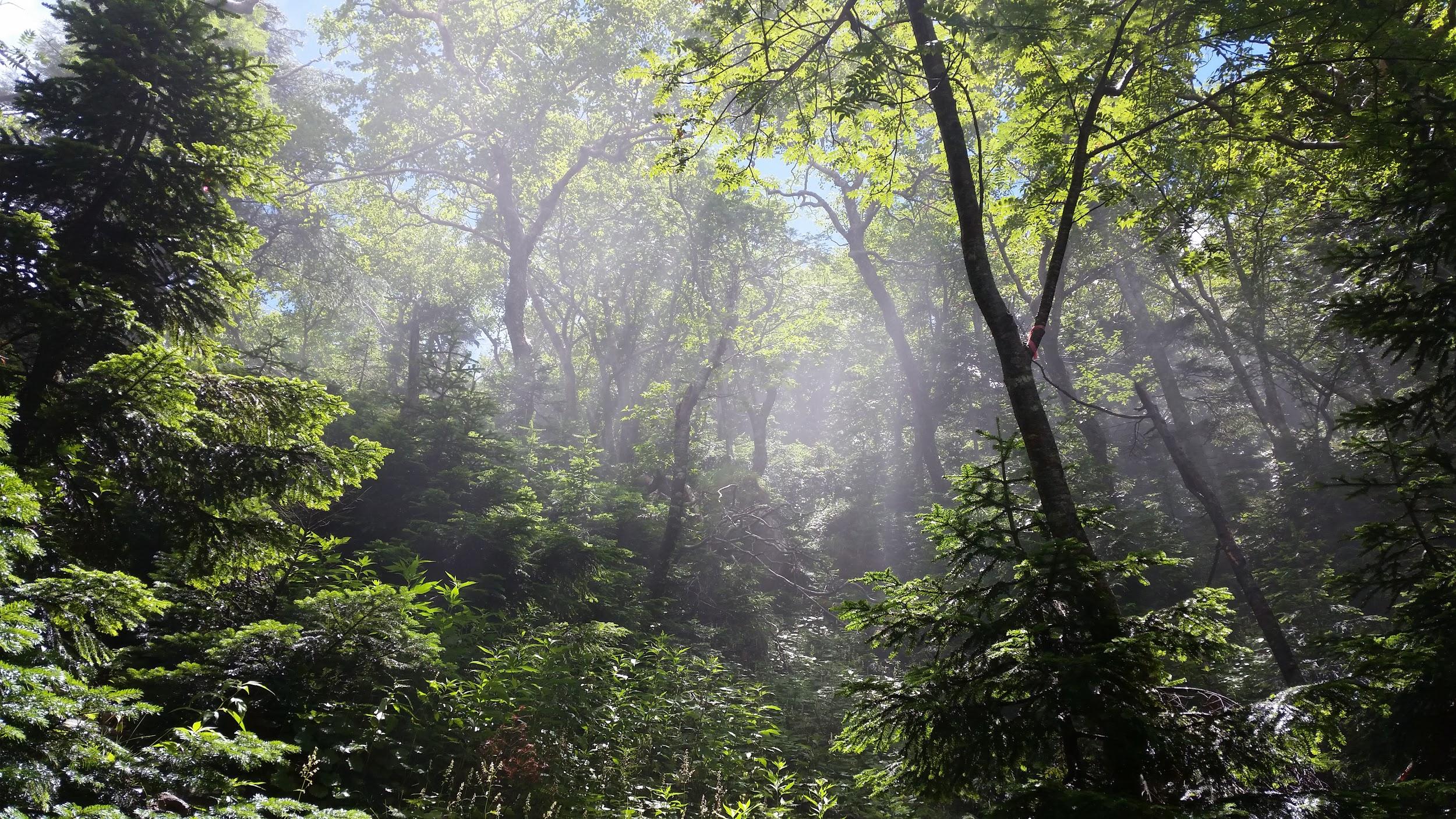
Sun shining through the forest

At the top of the ropeway, inside Nikko National Park and nearly 2000m high, the visibility wasn’t the best, and the views were a little disappointing. At least it was cooler than down in the valley. The hike started out on a fairly level trail through beautiful forest. After an hour or so, we had to climb steeply for a short while to reach the edge of a pond. Here I was able to look up towards the top of Mt Nikko-Shirane. I had been hoping to get my revenge, since it was in clouds when I climbed it several years ago. However, the top was in the clouds again, and another ascent seemed pointless.

Midaga Pond near the top of Mt Nikko-Shirane

We continued a little further and reached the edge of a crater with at the bottom, the beautiful Goshiki-Numa lake 五色沼 (which means five-colour lake). Since we had enough time, I decided we could descend to the shore of the lake and climb back up again. Unfortunately the descent was steep and rocky, and we regretted it a bit.

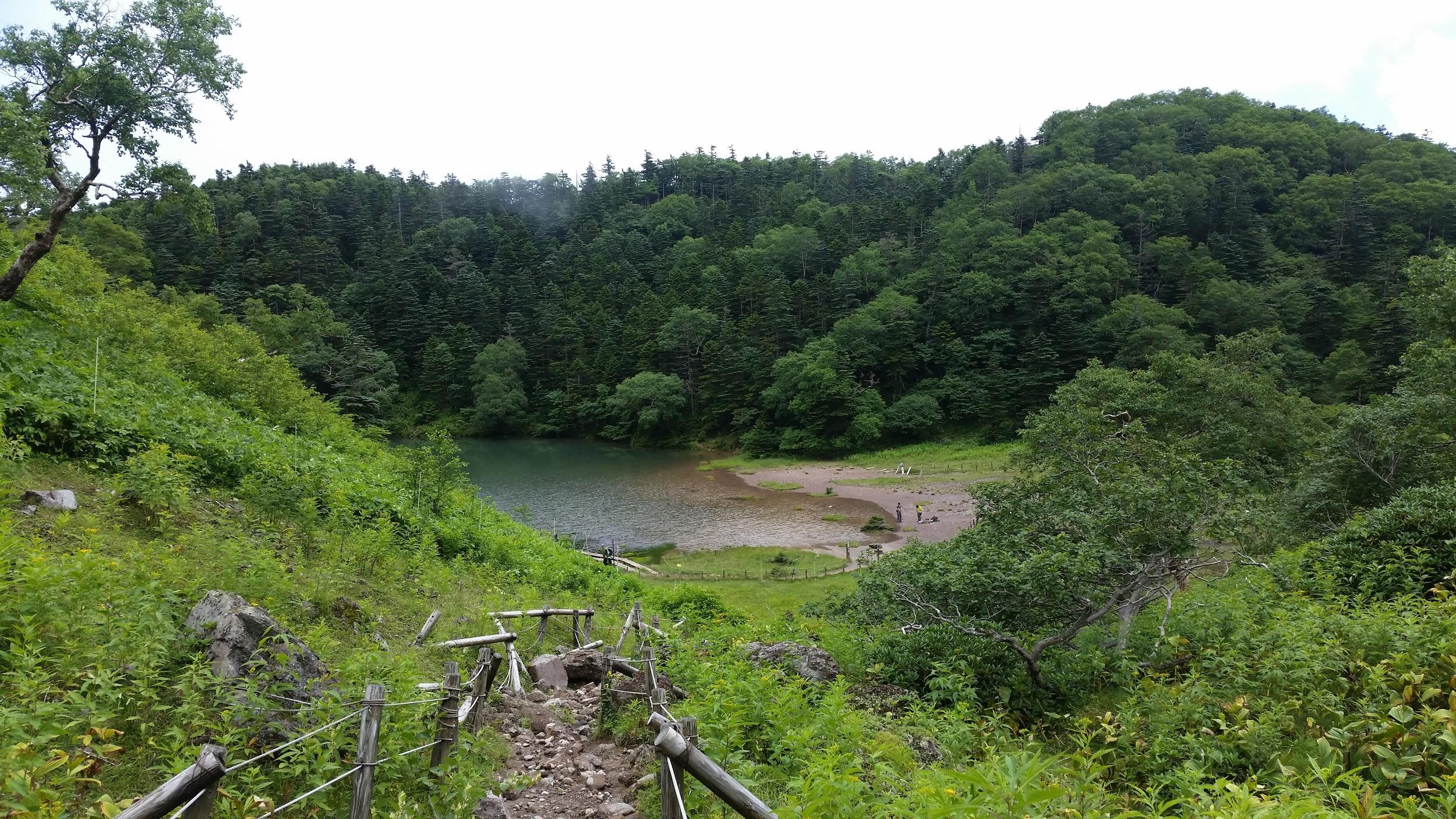
The Goshiki-numa lake, inside Tochigi prefecture

After enjoying the peace and quiet of the lake, we made our way back up to the edge of the crater via a different path, and then walked back the way we had come. At the pond, we passed a group of noisy school children who had come up a different path. We headed back down the steep path to the forest below, and at the bottom we took another trail that looped back to the top of the ropeway.

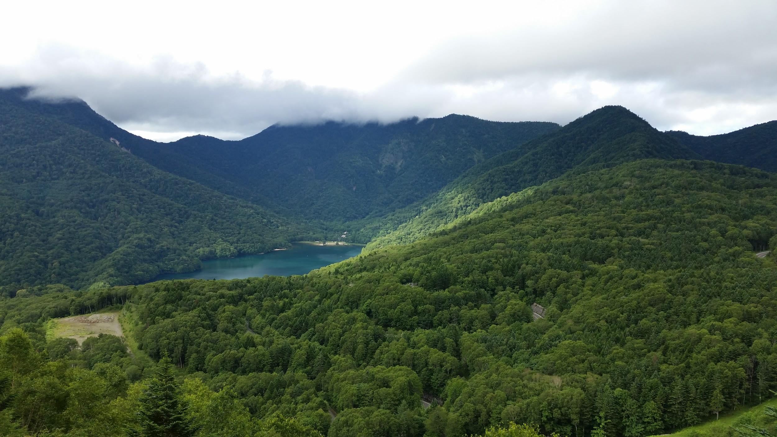
View of Maru-numa lake from the ropeway

Check out the views of Nikko-Shirane

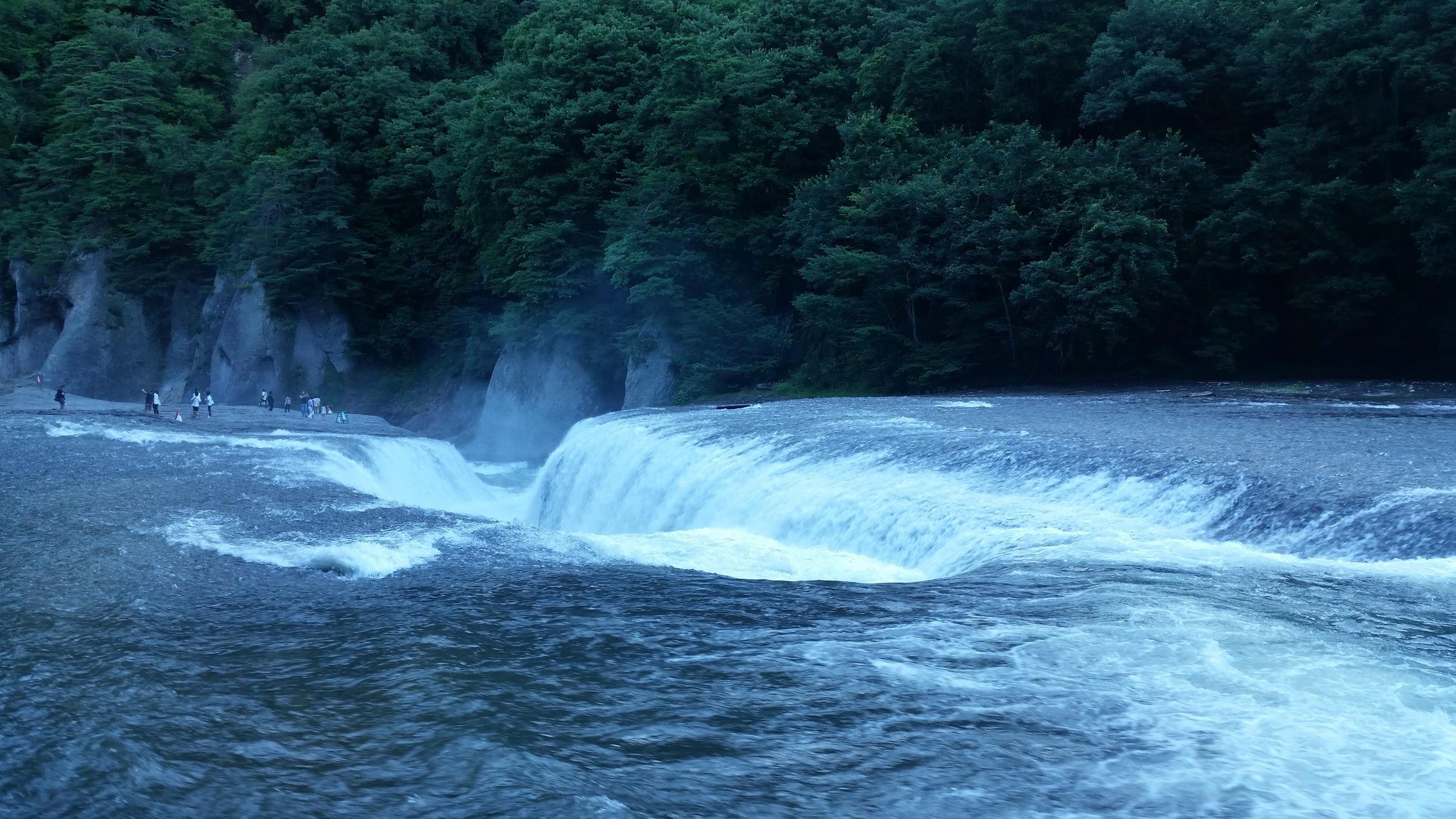
On the drive back to Takasaki we stopped at the very impressive Fukiware Waterfalls 吹割の滝 where we could walk along the river and the falls for a short way.

Where is all the water going?

Check out one of the famous waterfalls in Japan

Mt Daisen (1729m), Tottori Prefecture, November 2016 [Map Available]

Hiking the hundred famous mountains of Japan 日本百名山

Get the Japanwilds Mt Daisen Hiking Map on Avenza

This map was developed for Japanwilds with the Hokkaido Cartographer

Find more Japan Hiking Maps on Avenza

Hiking near the top of Mt Daisen (大山 だいせん)

Hiking in the Daisen-Oki National Park 大山隠岐国立公園

Hiking in the Chugoku Mountains 中国山地

Kengamine (剣ヶ峰), the true high point, off limits to hikers

See the views of the Mt Daisen hike

Mt Kisrishima (1700m) & Mt Kaimon (924m), Kagoshima & Miyazaki Prefectures, November 2015

Hiking the hundred famous mountains of Japan 日本百名山

Hiking in Kyushu (九州)

Kirishima-Kinkowan National Park (霧島錦江湾国立公園)

霧島山 (きりしまやま kirishimayama)

開聞岳 (かいもんだけ kaimondake)

Get a hiking map of the Mt Kaimon hike

This map was developed for Japanwilds with the Hokkaido Cartographer

Mt Kirishima hiking map coming soon on Avenza

View of the ocean and the cost from near the summit of Mt Kaimon

See the views on the Mt Kaimon hike

Mt Amakazari (1963m), Otari Village, Nagano Prefecture, Monday, October 26, 2015 [Map Available]

Hiking the hundred famous mountains of Japan 日本百名山

Hiking in the Myoko-Togakushi Renzan National Park

妙高戸隠連山国立公園

雨飾山 (あまかざりやま amakazariyama)

Download a map of the Mt Amakazari hike

This map was developed for Japanwilds with the Hokkaido Cartographer

Find more Japan hiking maps on Avenza

View north from the summit of Mt Amakazari