
Hiking the hundred famous mountains of Japan 日本百名山
Hiking in the Hakusan National Park 白山国立公園
白山 (はくさん hakusan)
荒島岳 (あらしまだけ arashimadake)
Get a map of the Mt Hakusan hike
Get a map of the Mt Arashima hike
These maps were developed for Japanwilds with the Hokkaido Cartographer
Find more Japan hiking maps on Avenza

Top of Mt Arashima from the Nakande trail

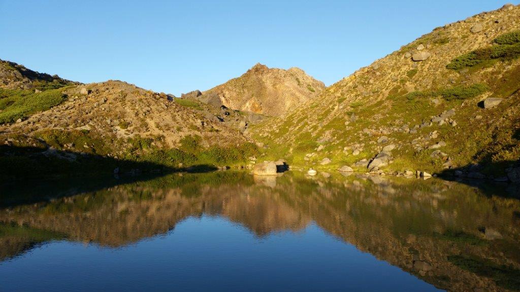
View towards Gifu from Midori Pond
See the Sunset & Sunrise from Mt Hakusan and the dragonflies of Mt Arashima
