
This was another short hike, about one hour up and one hour down, less than two hours by train from Tokyo. Once again, by studying the Chichibu hiking map, I found a way to extend it, through Eastern Chichibu and ending at Yorii station; I hoped it would make a great station to station hike. Also, the trails I had picked followed the Kanto Fureai no Michi for nearly the entire way, so I was almost certain that the path would be well signposted and easy to walk.

Hiking up Utsukushii no yama or “Beautiful Mountain”
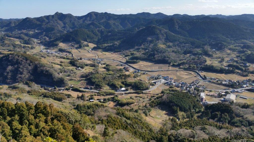
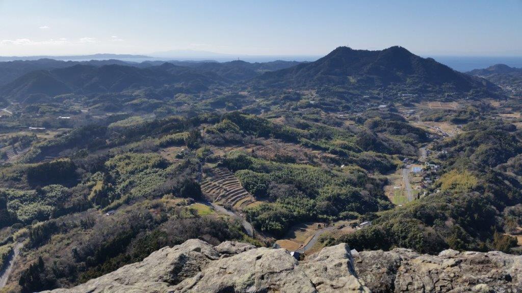
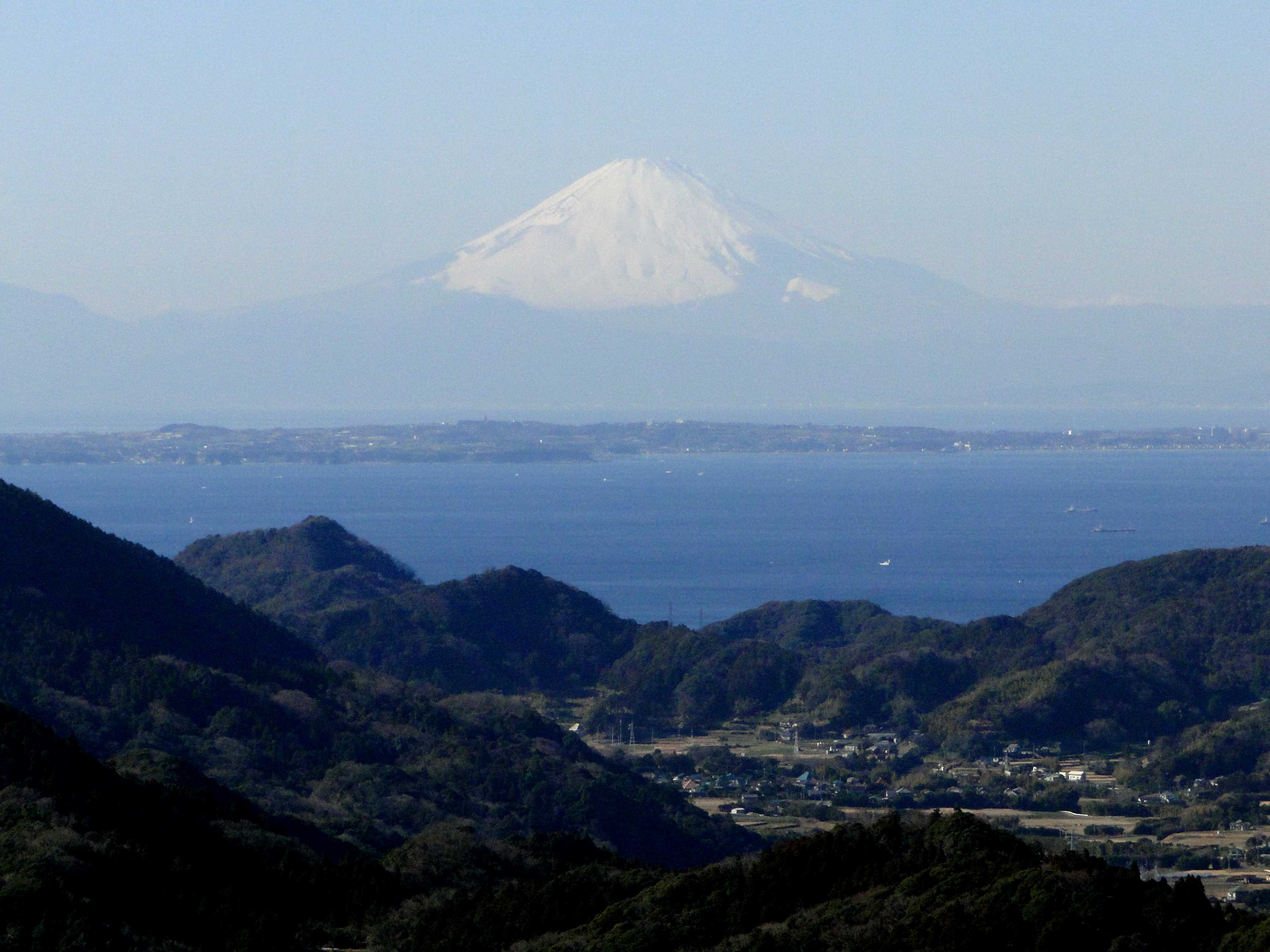
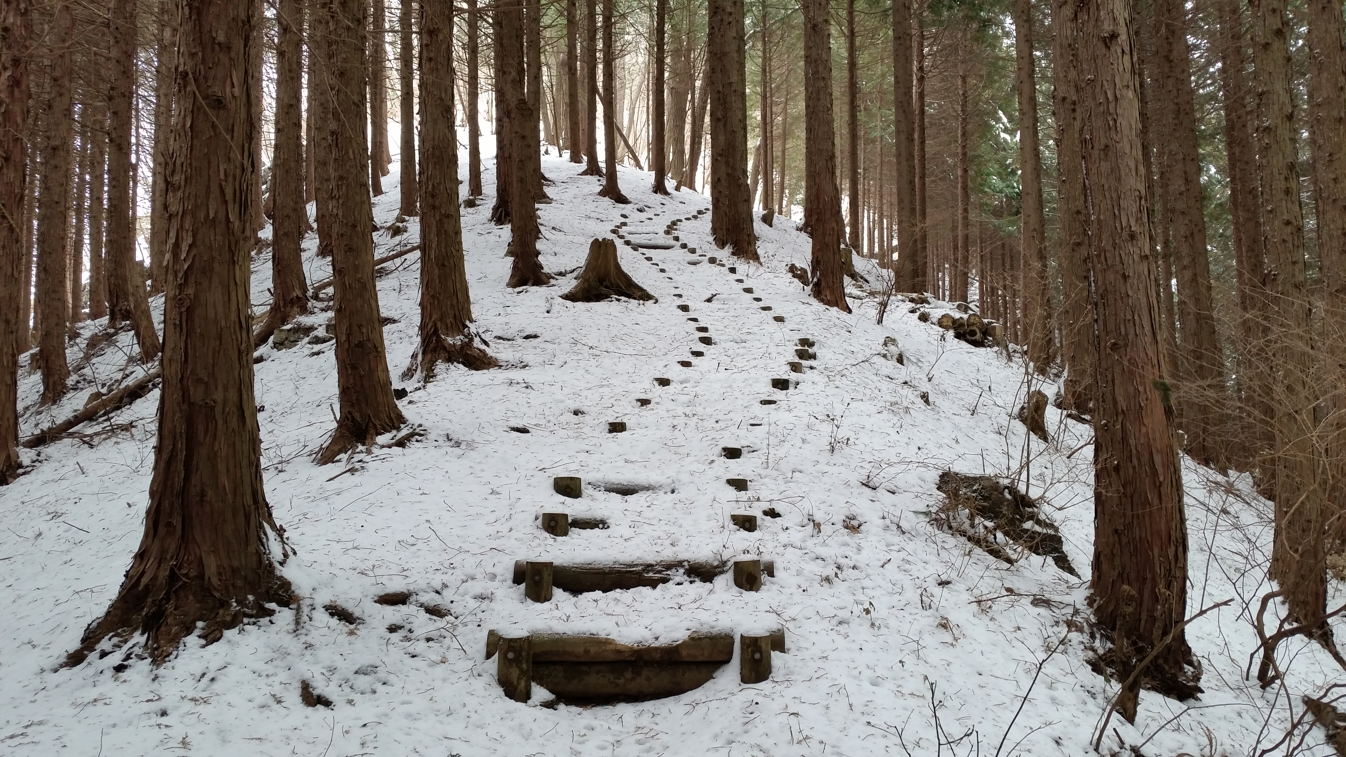
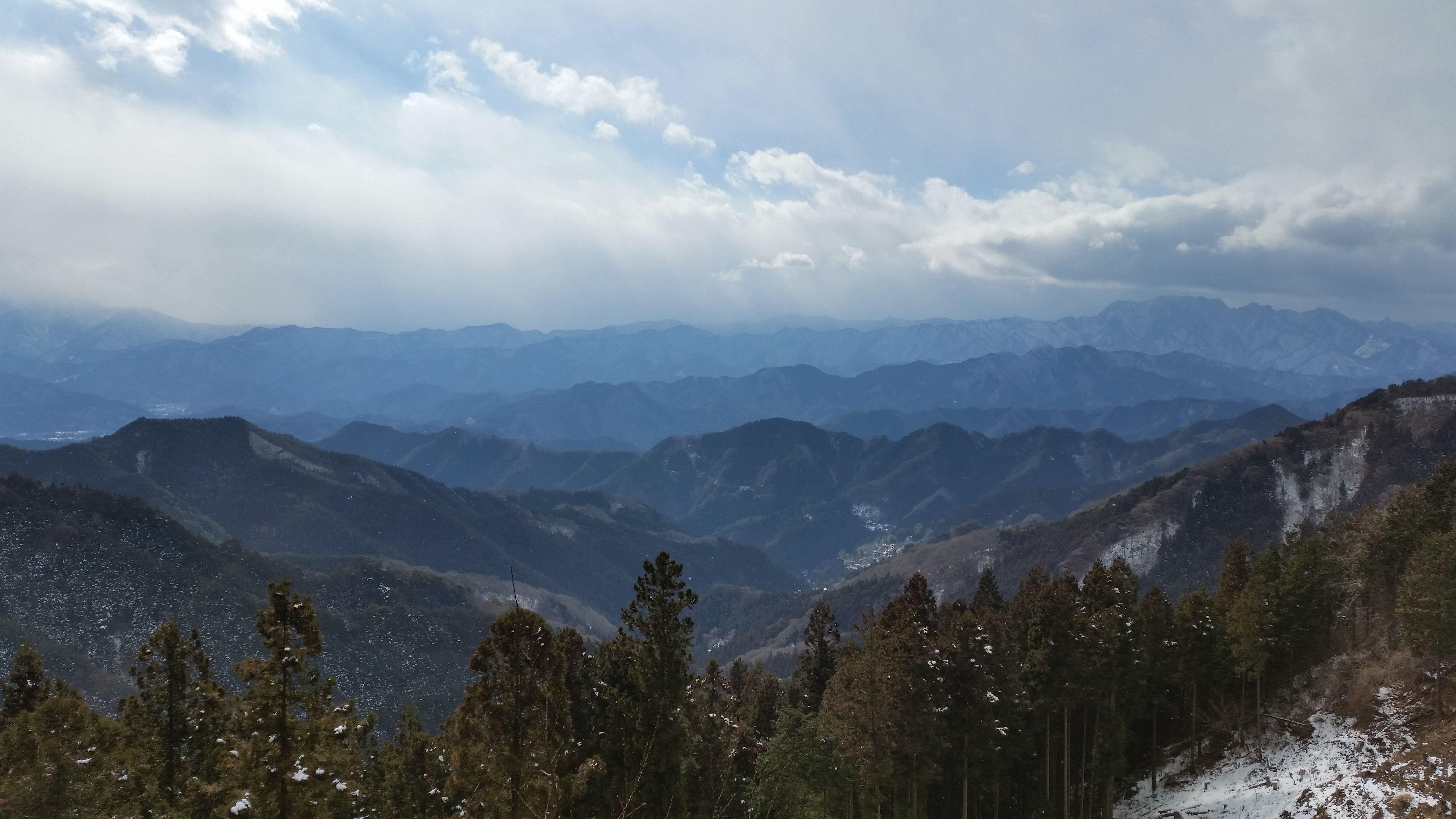
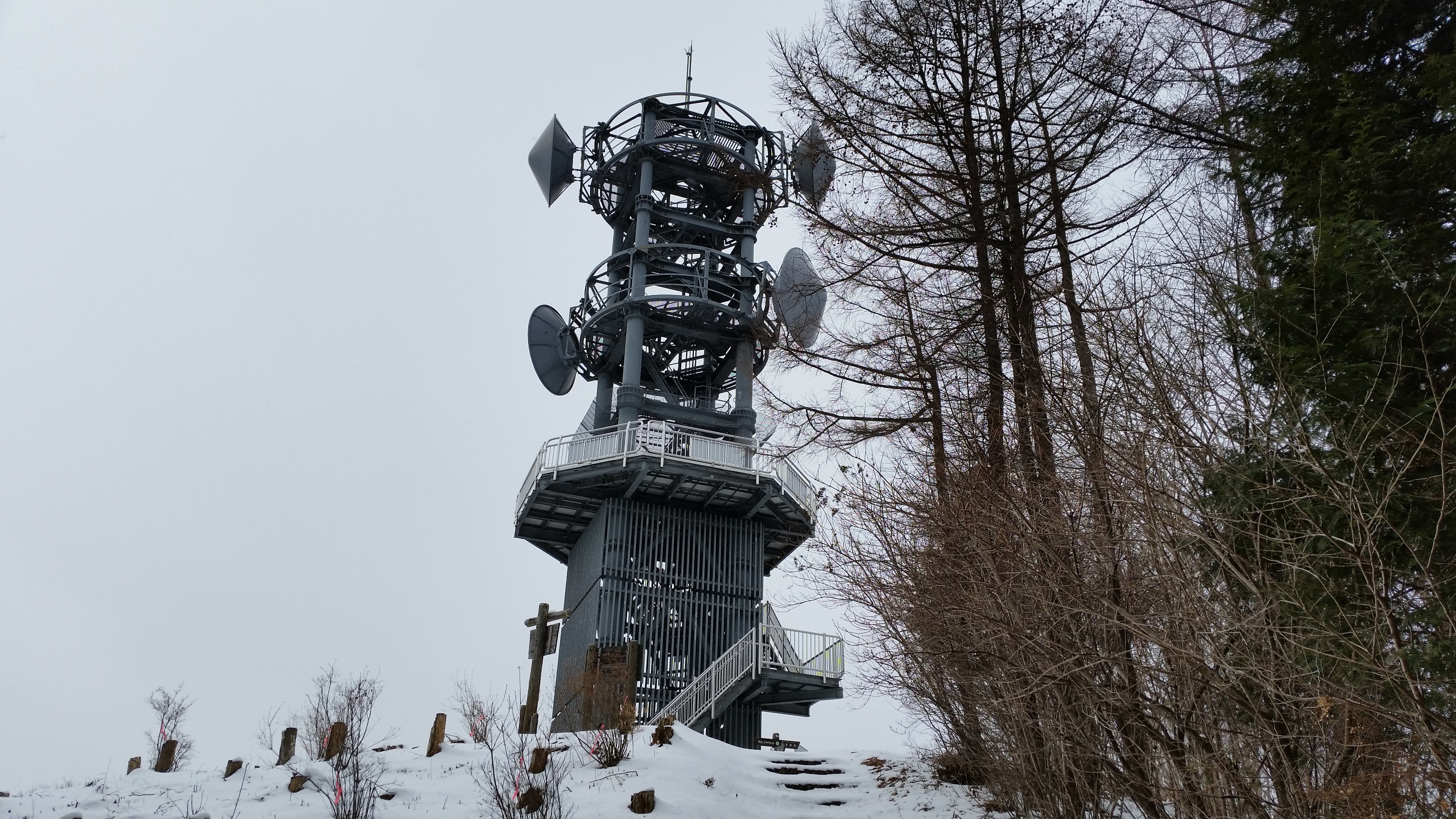
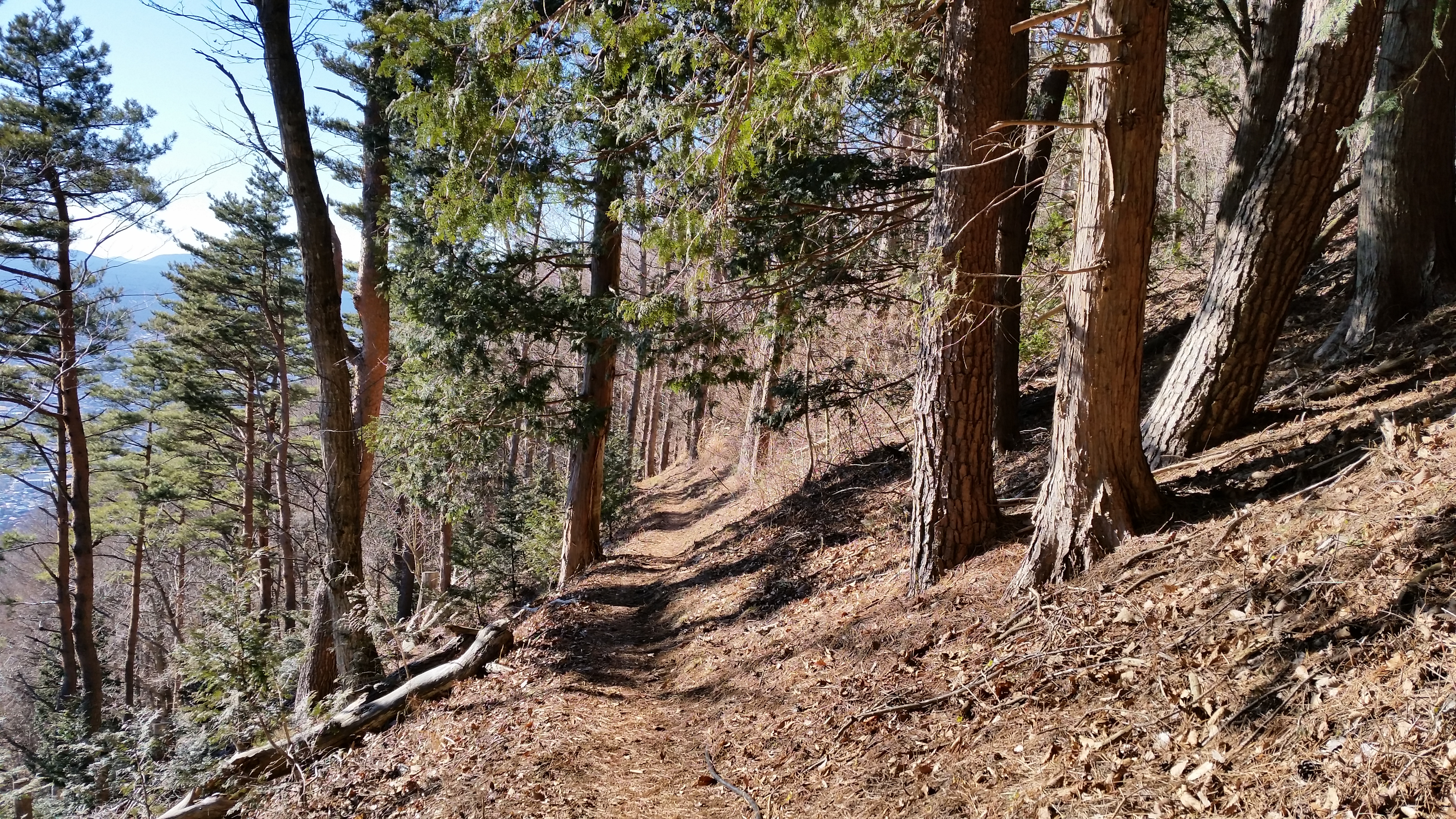
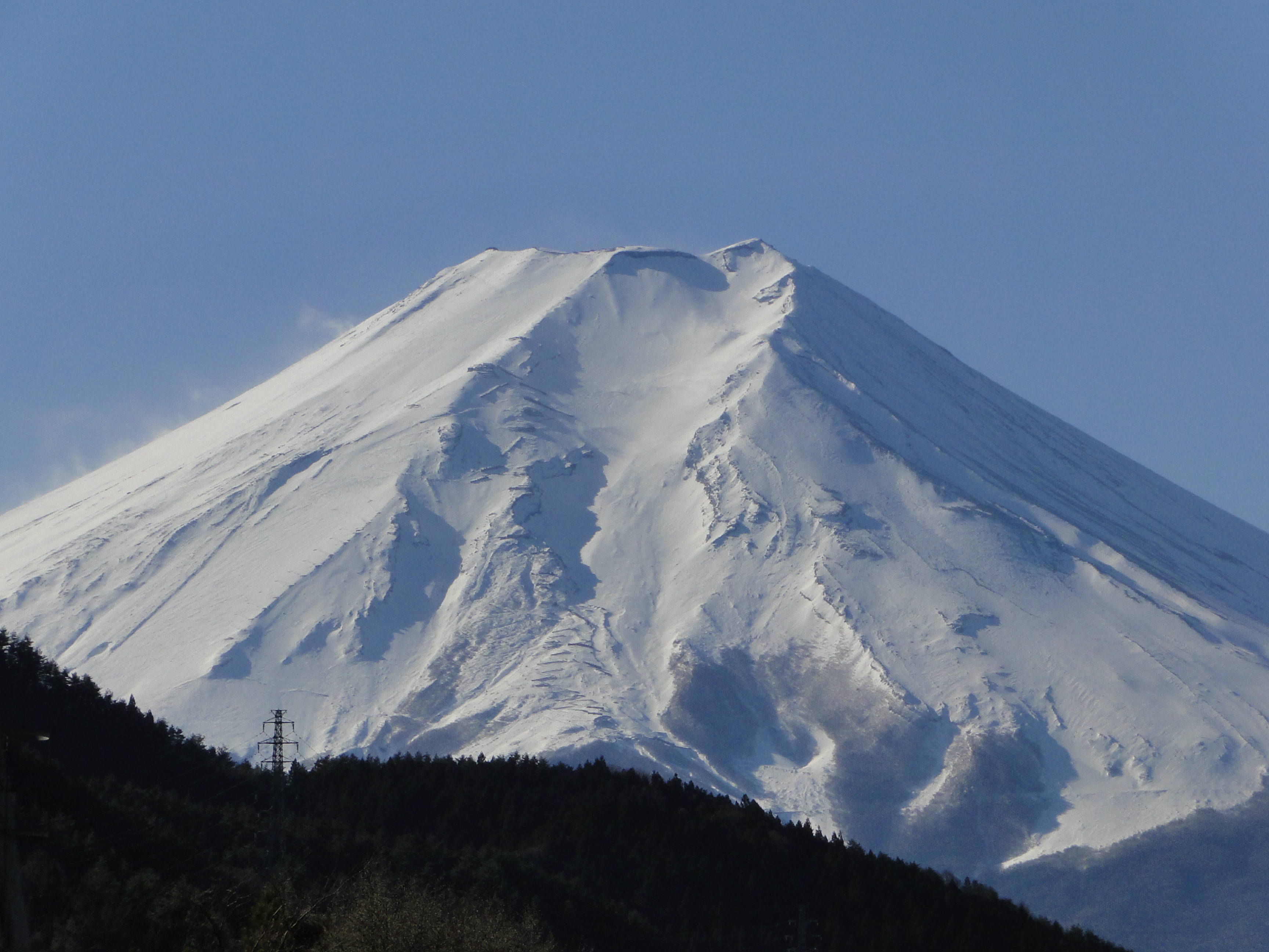
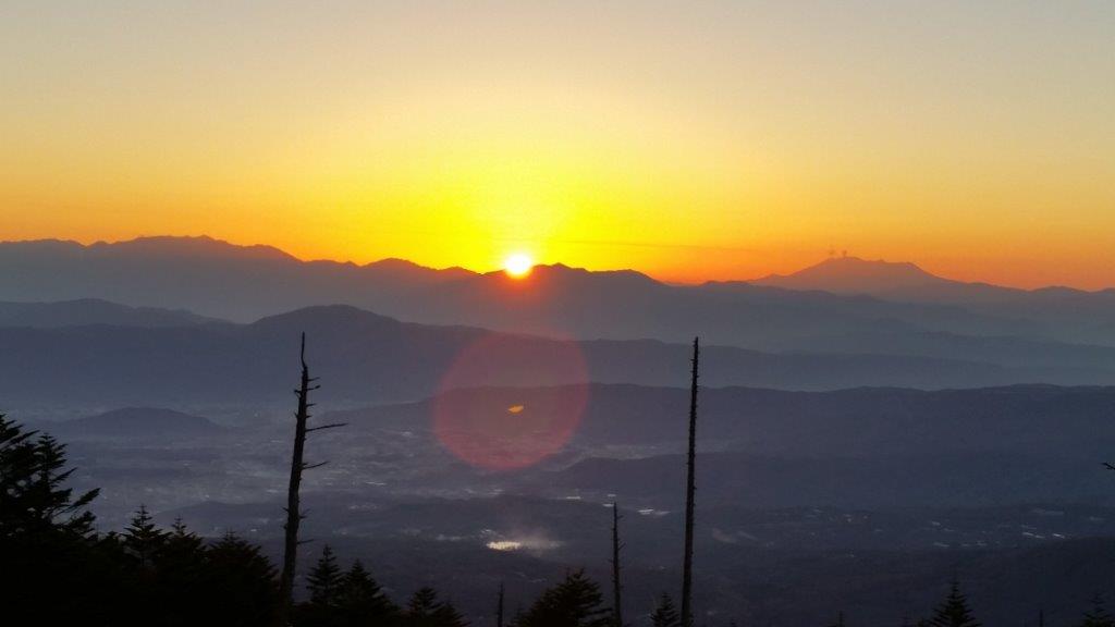
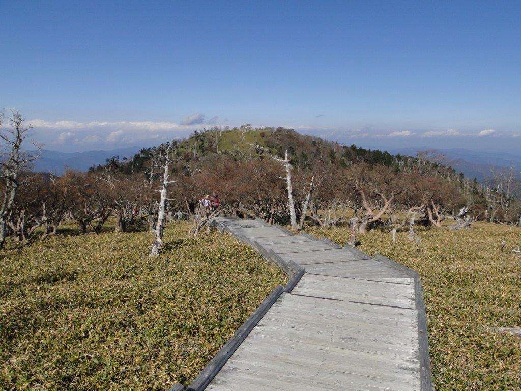
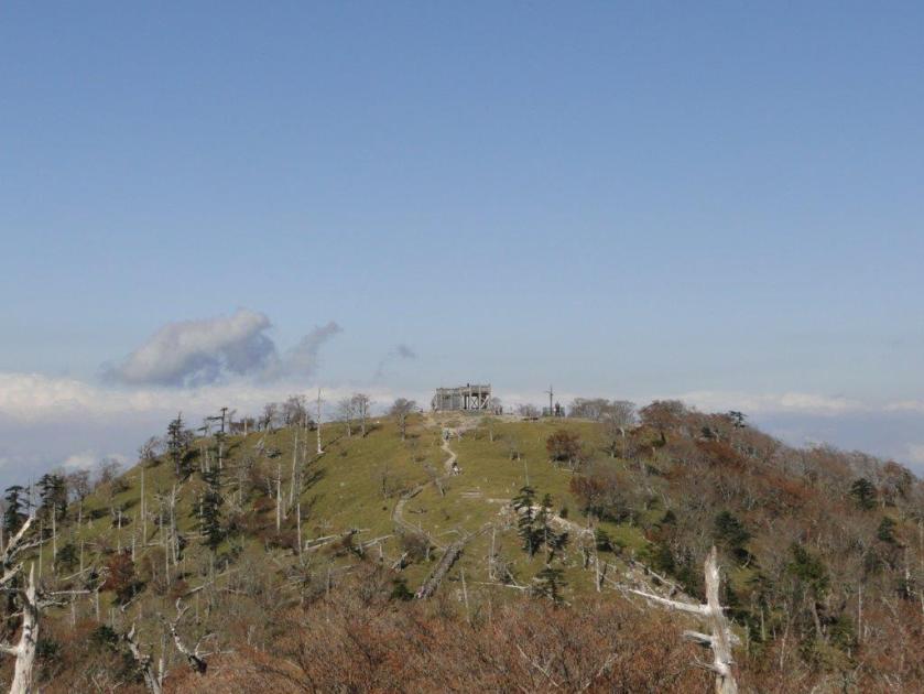
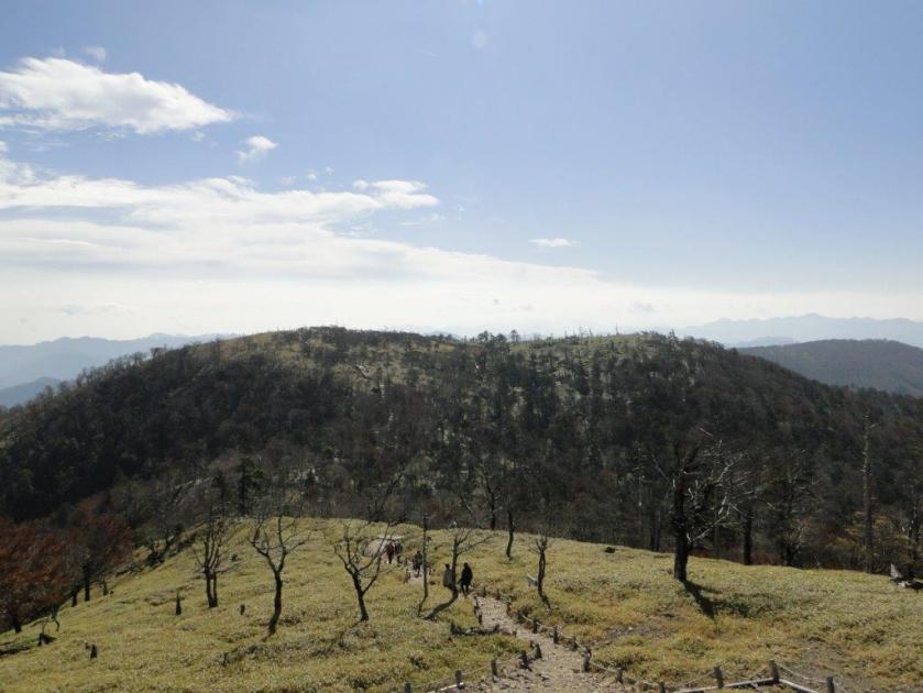
I got off the train at Oyahana station on the Chichibu line around 9 am on a beautiful spring morning. The walk up through the new green forest was one of the easiest I had ever done; it’s also possible to drive up. At the top of Mt Mino 蓑山 (Minoyama) there was a small observation tower with a 360 degree view. The view to the East of the nearby mountains of Higashi Chichibu was better than the view to the West of the much further Oku-Chichibu mountains, lost in the late morning haze. By the way, this mountain’s name means “straw raincoat”, but it’s also known as Utsukushii no Yama, or “Beautiful Mountain”.

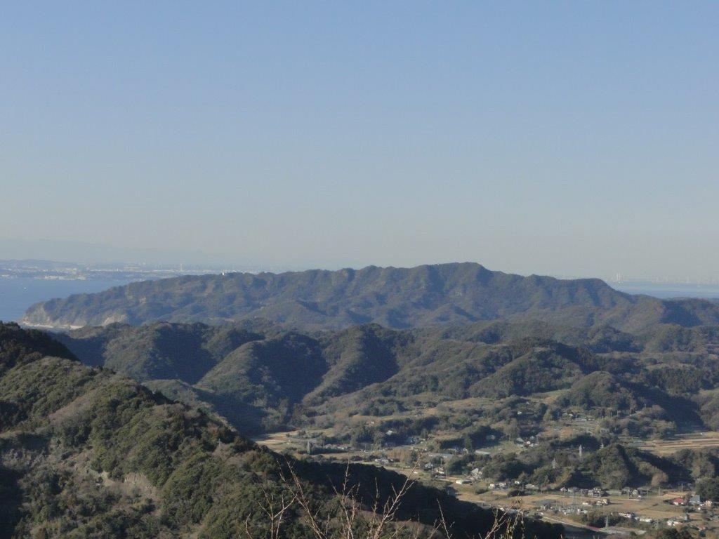
View of Eastern Chichibu from the summit of Mt Mino
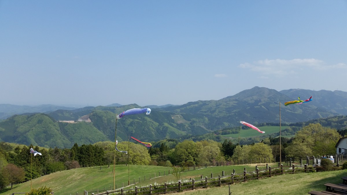
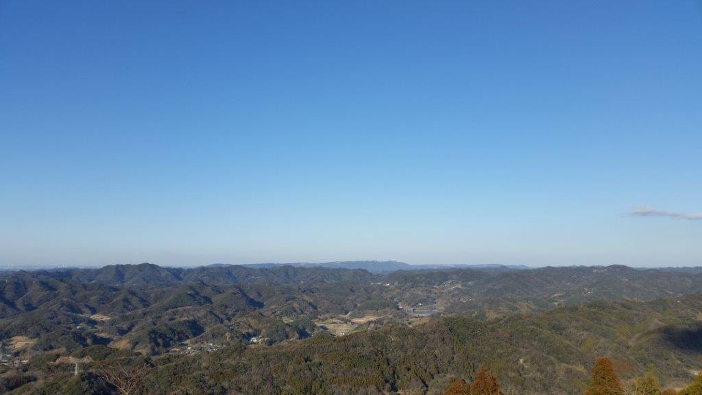
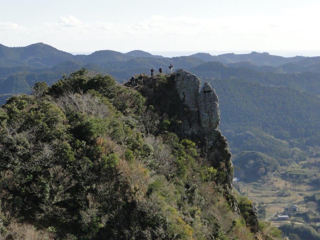
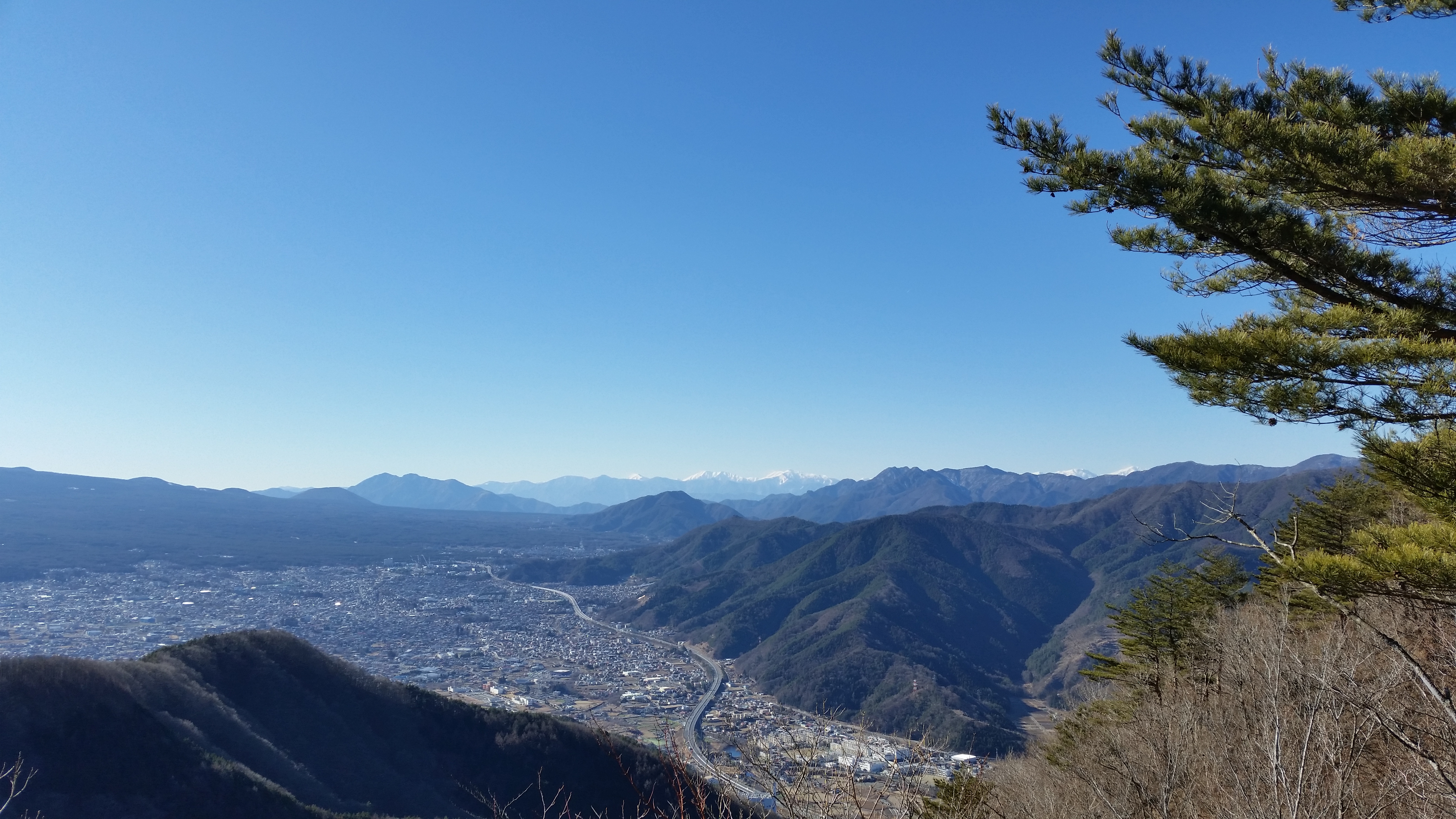
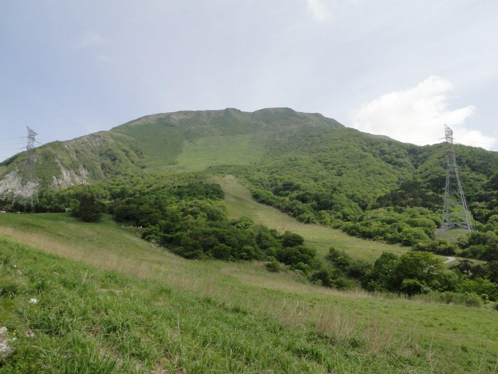
After taking in the view, I started down on the opposite side. I saw no one on the way down; I even surprised some Japanese pheasants or “hiji”, which flew away in fright as I approached. I arrived at Asama Jinja Shrine around noon. The local priest was very friendly and offered me some cold tea, very welcome on this warm day. After reaching the base of the mountain, I crossed a busy road, walked up a smaller one with fields on either side, and arrived at the Chichibu Highland Farm or Chichibu Kogen Bokujo around 2pm. There, I had some of the best views of the hike.

Hiking the seven peaks of outer Chichibu
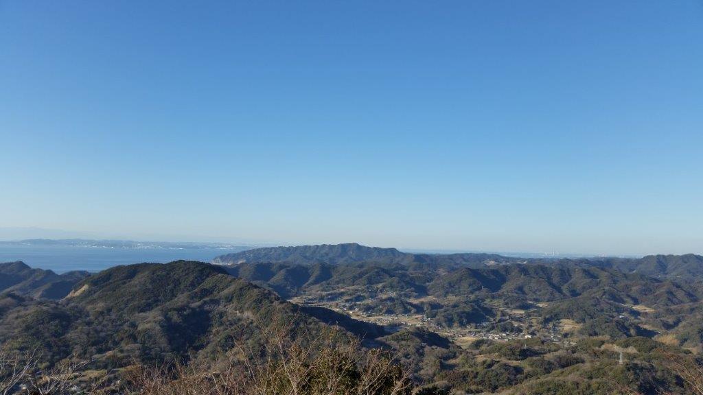
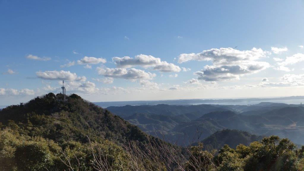
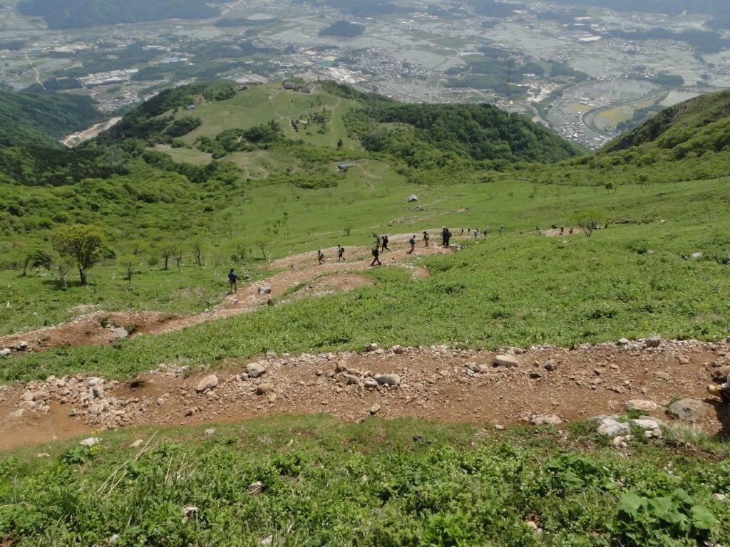
The next part of the hike was quite easy, as it followed the wide ridgeline to the North. I passed by the minor peaks of Mt Atago 愛宕山 (Atagoyama) 655m and Mt Misuzu 皇鈴山 (Misuzuyama) 679m. A little beyond that last peak, I got some great views of the Kanto Plain to the East. By the way, this trail is known as the “Outer Chichibu 7 Peaks Traverse” (外秩父七峰縦走).

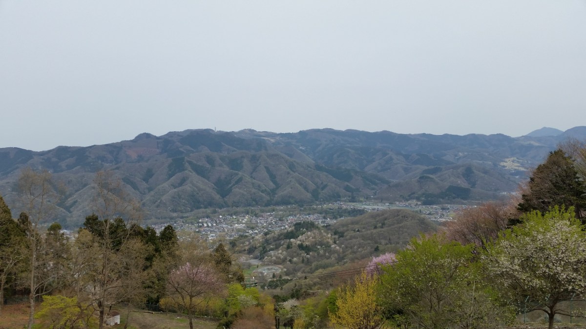
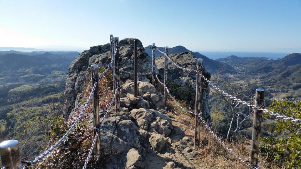
View West from the Chichibu Highland Farm
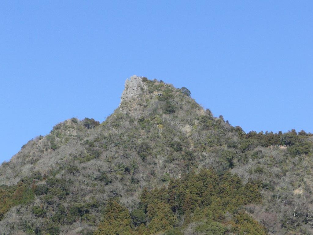
At 4pm, I arrived at Mt Kamabuse 釜伏山 (Kamabuseyama) 582m, a short roundtrip off the main trail. Here, I left the Fureai no Michi, which went left towards Nagatoro, and headed right, along a road, the most direct route down the mountain. I reached Yorii station a little before 6pm, after nine hours of hiking, but not too exhausted since the hike consisted mostly of gentle slopes and flat ridges.

The park at the top of Mt Mino has many cherry blossom trees
Koinobori at Chichibu Highland Farm


![Mt Jomine (1038), Chichibu City, Saitama Prefecture, January 2015 [Omotesando Route]](https://hikingtokyo.com/wp-content/uploads/2020/04/20150117_125508.jpg?w=1200)
![Mt Kurami (1256m), Tsuru City, Yamanashi Prefecture [Map Available]](https://hikingtokyo.com/wp-content/uploads/2020/04/20150103_124330.jpg?w=1200)

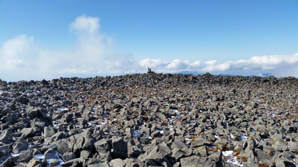
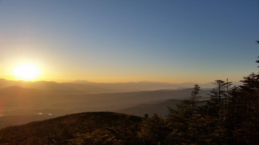
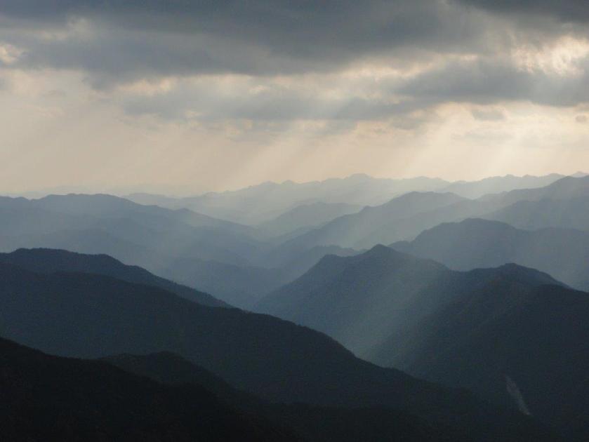
![Mt Kitayoko (2480m) & Mt Tateshina (2531m), Chino City, Nagano Prefecture, Sunday, November 11, 2014 [Map Available]](https://hikingtokyo.com/wp-content/uploads/2014/11/20141123_095935.jpg?w=1024)


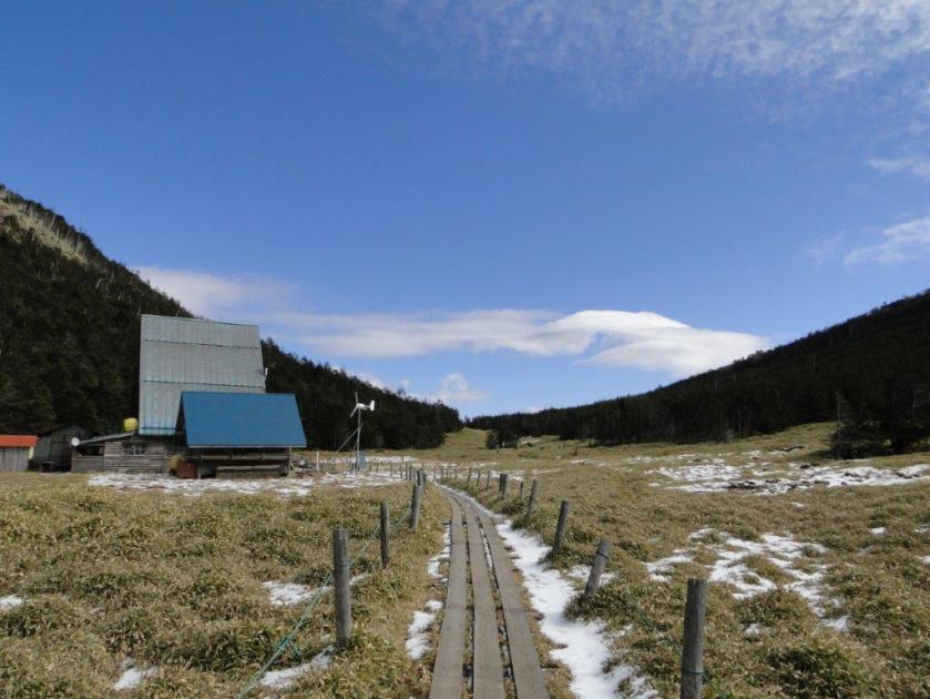
![Mt Shimagare (2403m) & Mt Chausu (2384m), Chino city, Nagano Prefecture, Saturday, November 22, 2014 [Map Available]](https://hikingtokyo.com/wp-content/uploads/2014/11/dsc06086.jpg?w=1024)


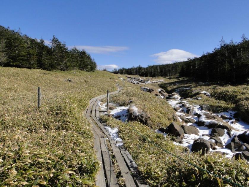


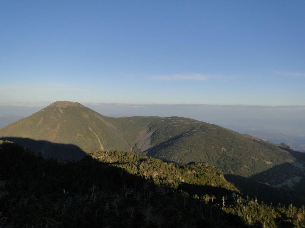
![Mt Omine (1915m) & Mt Odaigahara (1695m), Nara & Mie Prefectures, October 2014 [Maps Available]](https://hikingtokyo.com/wp-content/uploads/2022/12/dsc05061.jpg?w=1024)


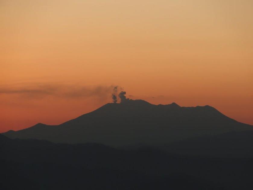
![Mt Ibuki (1377m), Maibara City, Shiga Prefecture, May 2014 [Map Available]](https://hikingtokyo.com/wp-content/uploads/2023/04/dsc01646.jpg?w=1024)

You must be logged in to post a comment.