

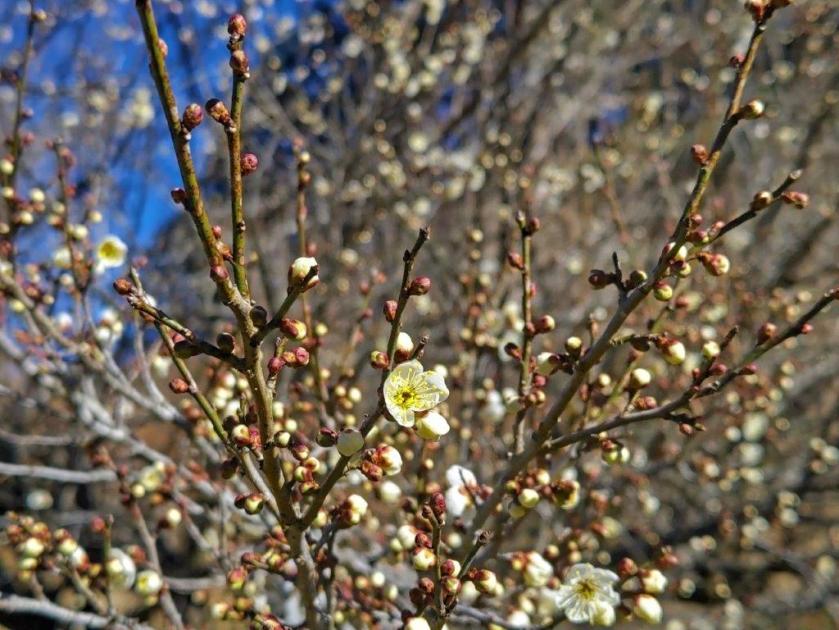
I passed by this spot while hiking Mt Ohira and Mt Teruishi in 2017, and was impressed by its wild beauty at the edge of the Ashio mountains. Since it’s also the intersection with the Fureai no Michi, I felt sure I would return one day. The trail had been damaged during the powerful typhoons of 2019, but was now open again. I had done the previous section of the Fureai no Michi, while hiking Mt Karasawa and Mt Suwa in 2018, so I decided to take a bus from Iwafune station on the Ryomo line, to a stop close to Murahi Shrine, at the end of that hike. From there, I planned to walk to Tochigi station, 15 km away. I was looking forward to revisiting the area after several years via a new route, and hoping to see some plum blossoms and other winter flowers along the way.
Hiking the Fureai no Michi ふれあいの道

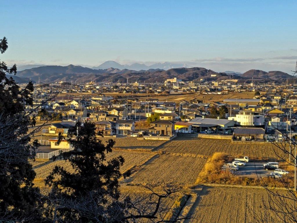
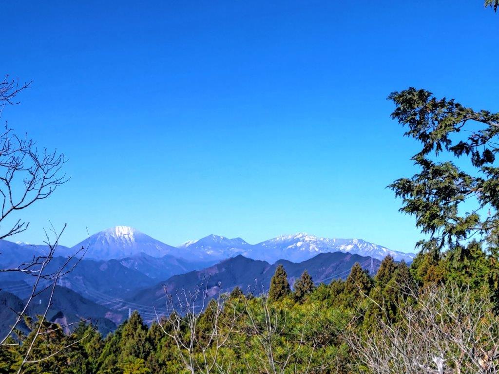
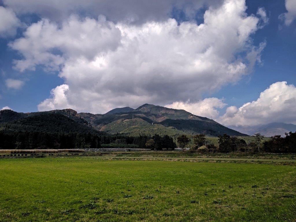
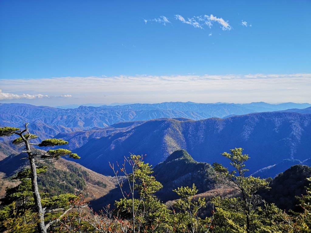
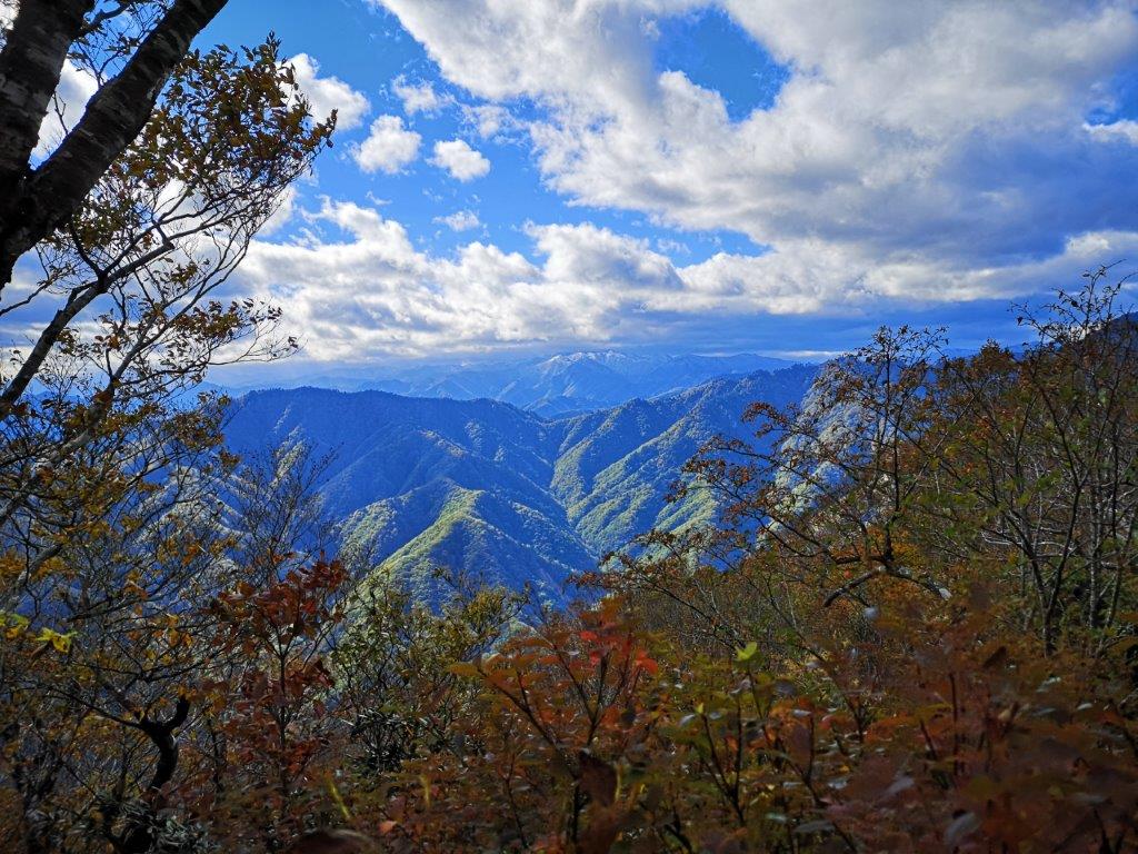
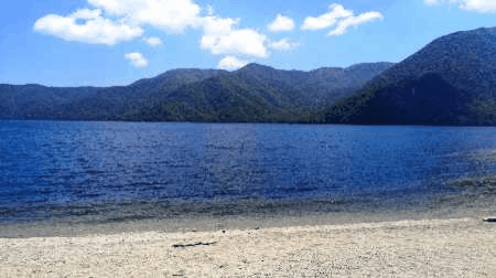
View of the mountains of Tochigi and Gunma from Sakura Pass
The weather was sunny but very cold at 9am, as I waited for the minibus outside Iwafune station. It took nearly an hour to reach a bus stop in the middle of the fields, from where I walked up a road running through a golf course, eventually merging with the Fureai no Michi. At 10h30, I reached the top of a hill and continued along the road down the other side, reaching the head of a valley soon after.

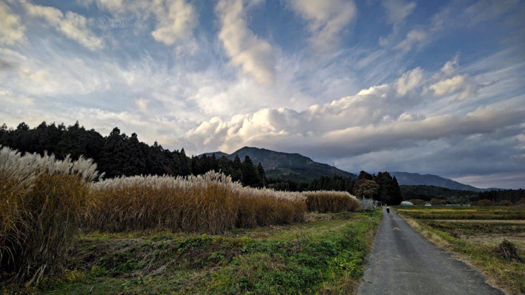
Start of the valley leading to Sakura Pass
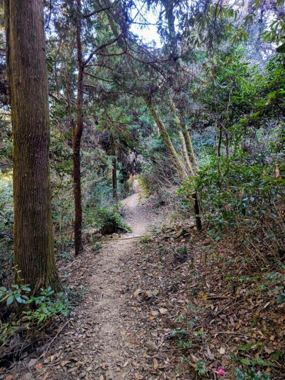
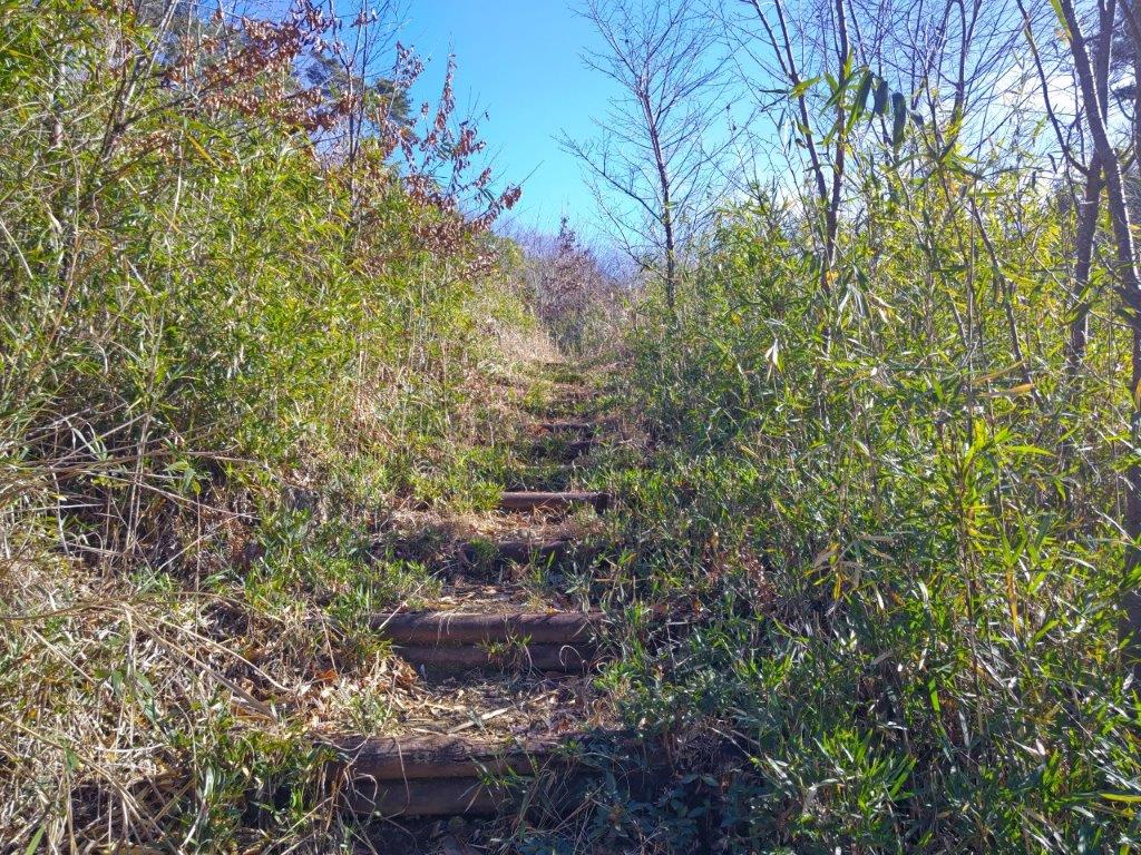
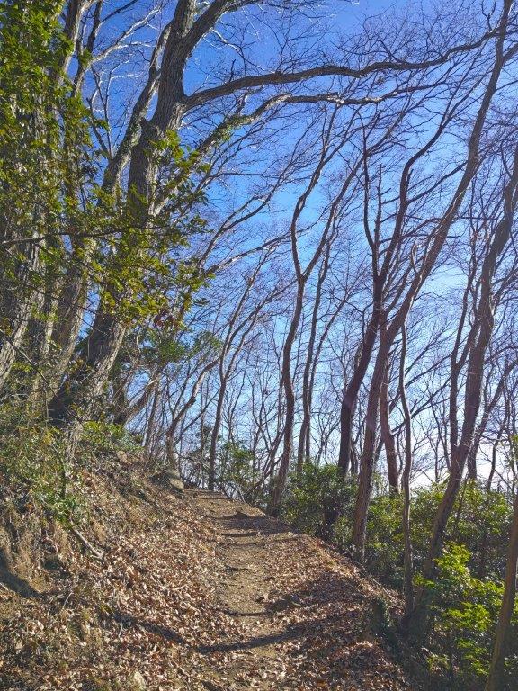
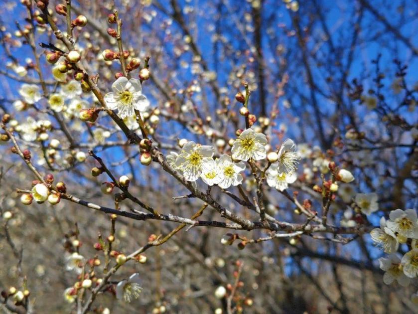
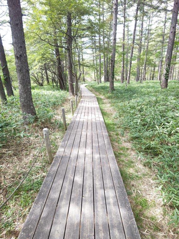
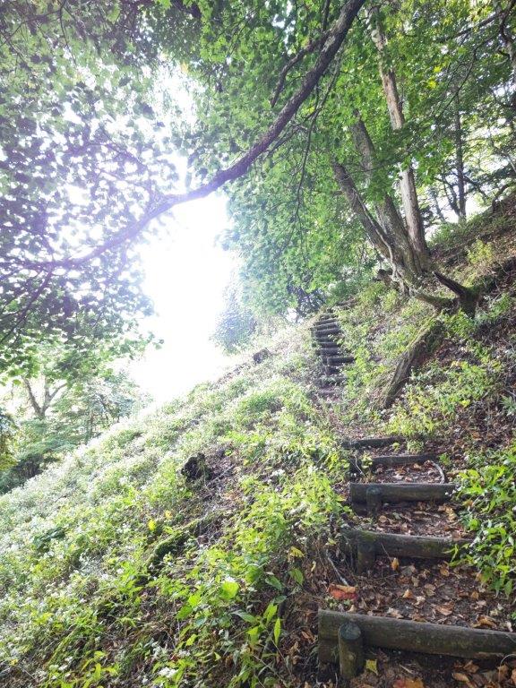
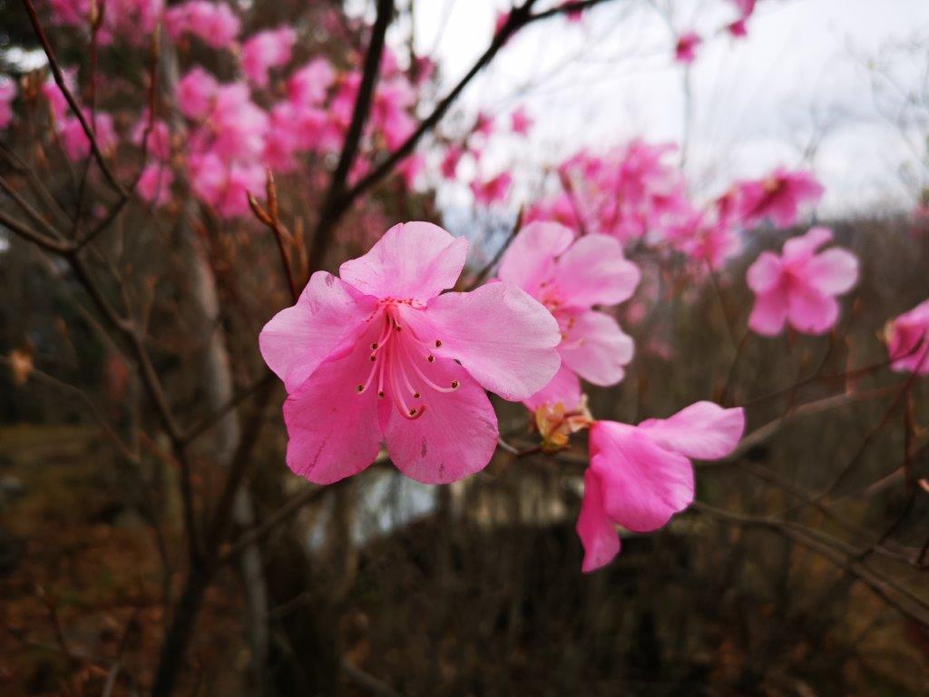
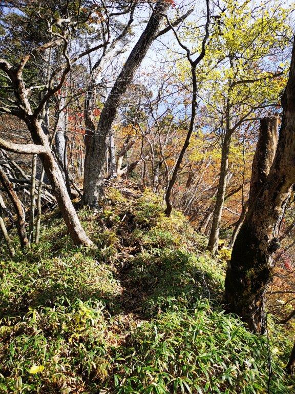
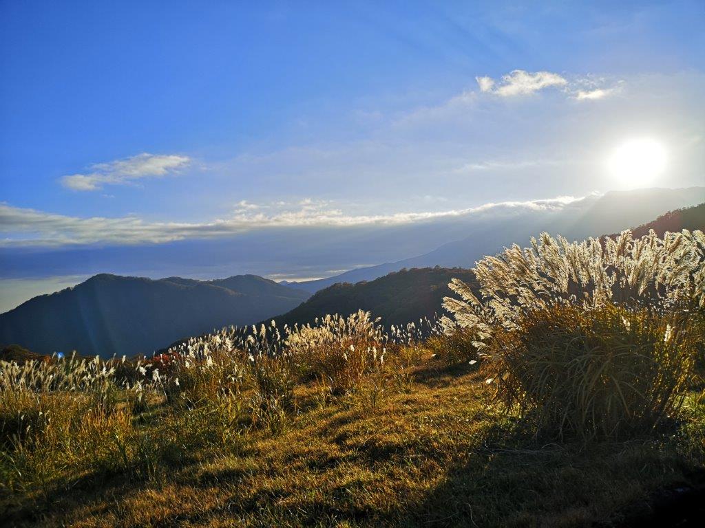
I was delighted by the surrounding bucolic landscape, and tried to imagine what it would look like in spring. A little after 11am, after passing some early plum blossoms, I reached a trail near a series of small lakes. First, it rose gradually through the cedars, then more steeply up some wooden log steps through the bamboo grass, before arriving at the intersection at Sakura Pass (桜峠 さくらとうげ sakura-toge). Turning around, I could see Mt Suwa in the foreground, with Mt Akagi rising behind, its highest peaks covered in snow.

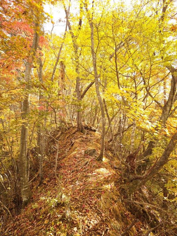
Climbing towards the pass (left) Descending from the pass (right)
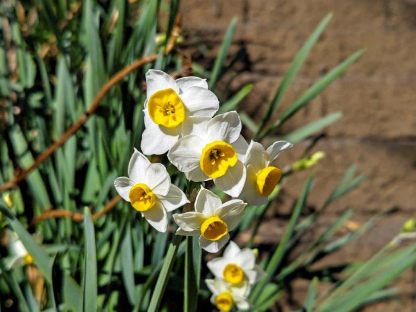
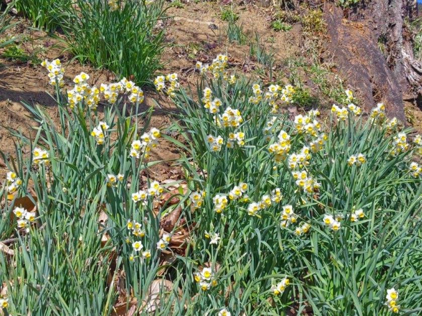
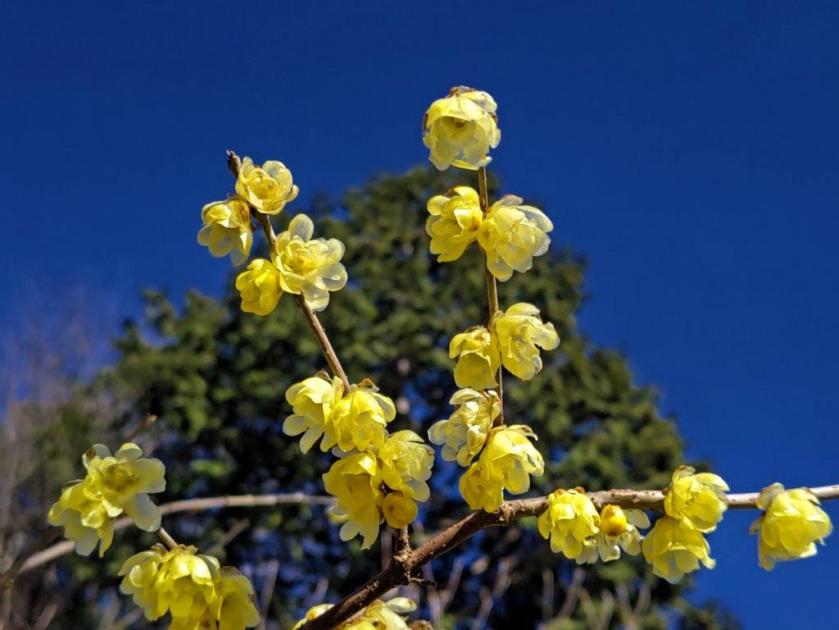
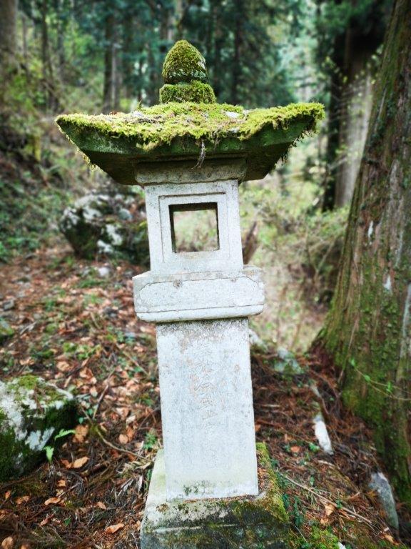
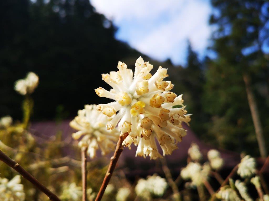
I followed a pleasant path through the woods down the other side of the pass, arriving at Seisuiji Temple just before 1230, its many suisen (daffodils) and robai (Japanese Allspice) swaying in the wind that had started to blow; to the right, the Kanto plain stretched southwards. The next section was mostly level, through the forest at the base of Mt Teruishi. A little after 1pm, I reached Daichuji Temple, towering cedar trees lining the approach to the main building.
Final steps before reaching Sakura Pass
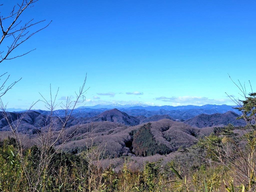
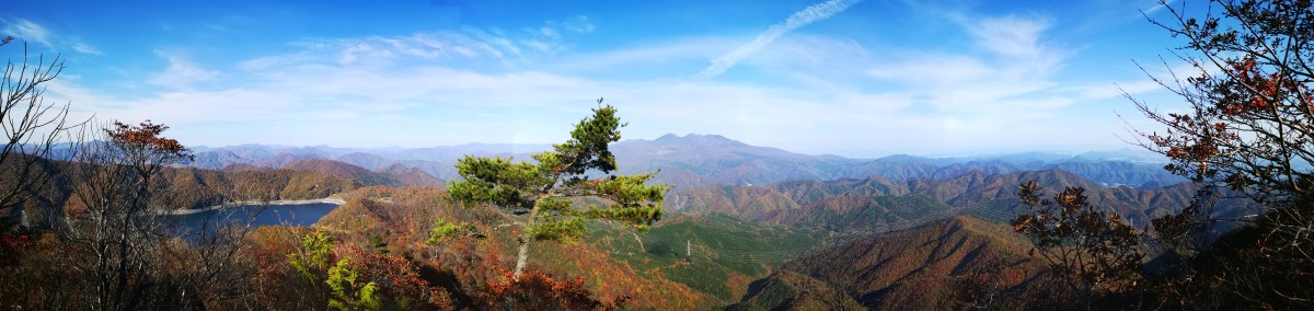
Snow on Mt Akagi in the background
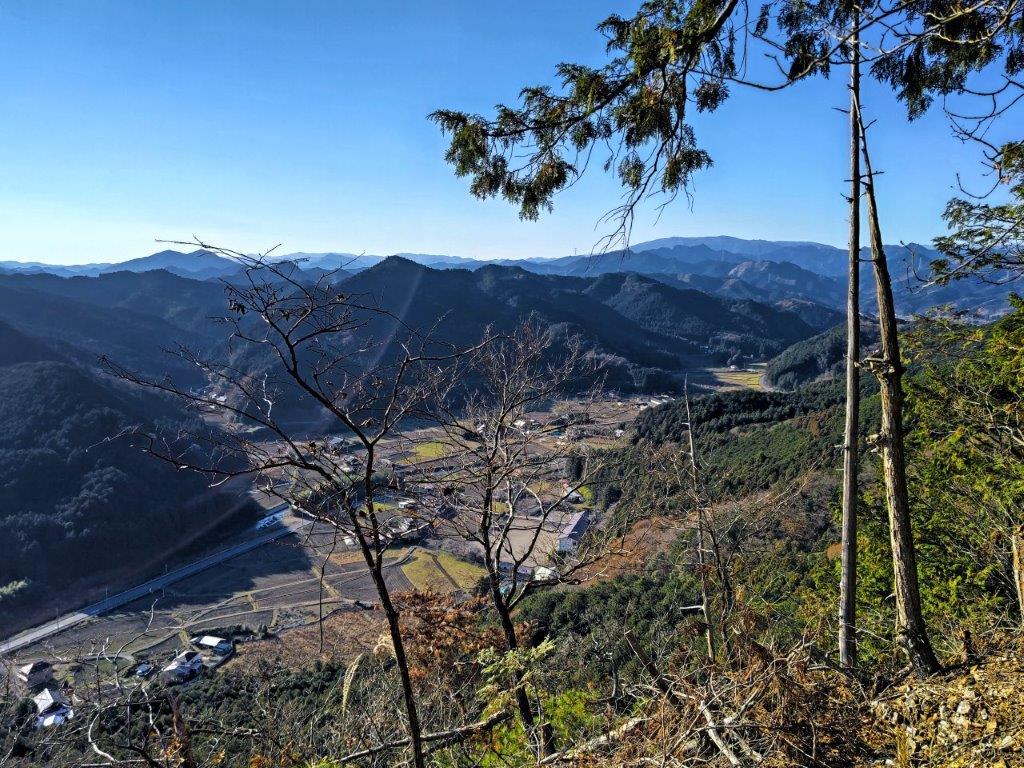
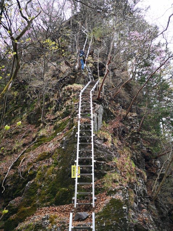
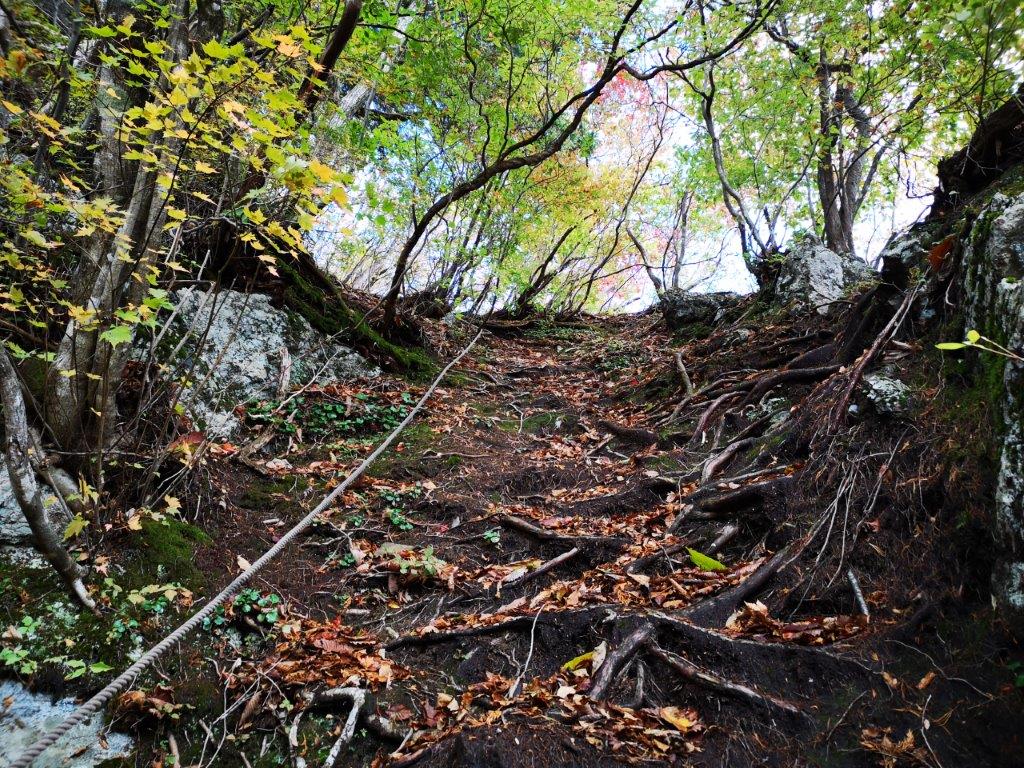
I now headed up a steep, rocky path near the back of the temple, a shortcut, as the Fureai no Michi made a loop via Ohirashita station. Half an hour later, I reached Ohirasan Shrine. I had been here before when I climbed Mt Ohira, so I soon moved on. A little further, I arrived at another part of the shrine I hadn’t been to before, from where I had a view of Mt Kogashi, Mt Takahara and Tochigi city on the east side.
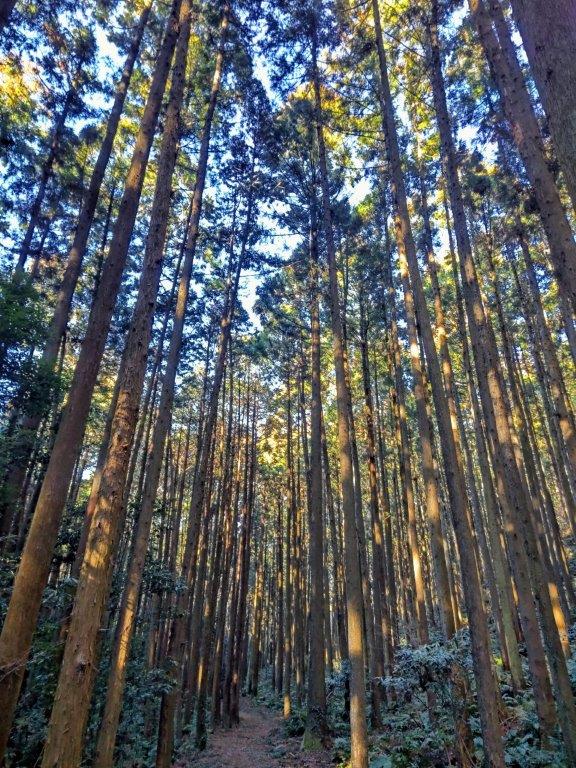
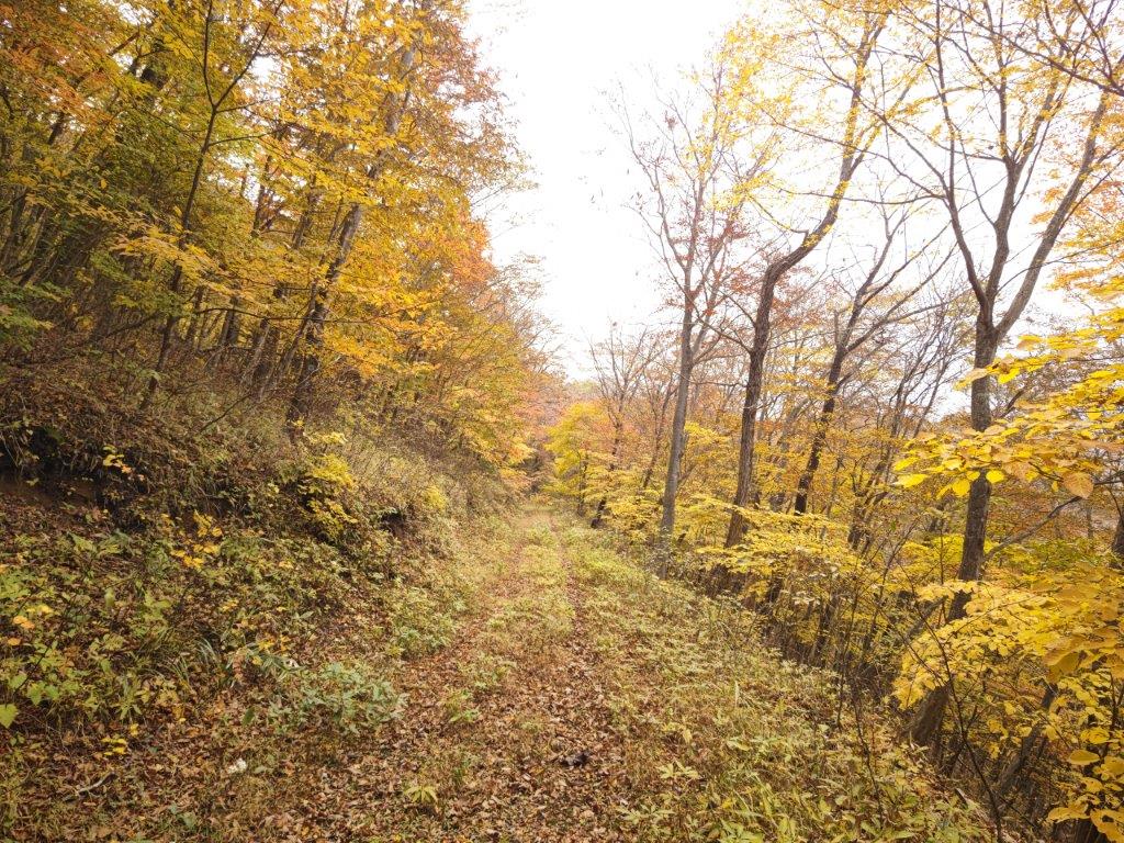
Level trail between Seisuiji and Daichuji Temples
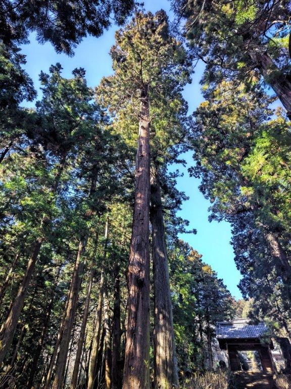

Towering cedars at Daichuji Temple
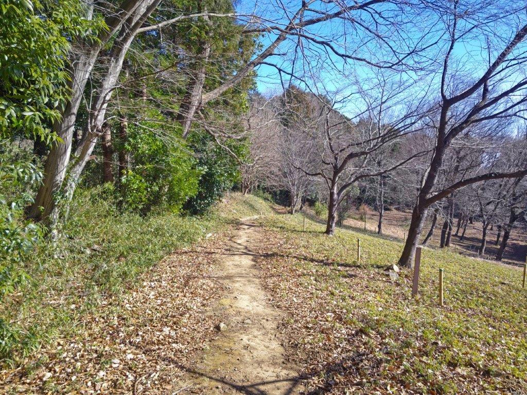
I was once again walking on a quiet path, back on the Fureai no Michi, heading down the forested mountain side. A little before 3pm, I reached the western edge of Tochigi city. I noticed a soba shop along the way and decided to check it out since it was still early. I was glad I did, since it had a terrace so I could enjoy my meal, a generous serving of soba noodle and a giant, crunchy Kakiage, with a view of Mt Tsubasa and the Ogodo Alps in the east.

Looking through the gate into the main compound of Daichuji Temple
Walking up to Ohira-jinja (left) Walking down from Ohira-jinja (right)
I was also lucky to see a picture taken by the owner just this morning of the sun rising directly behind the highest point, that happens just once a year (“Diamond Tsubasa”). At 4pm, I set off again and after crossing Nagano river, reached Kinchaku Park, also known as Mt Kinchaku (80m). From the top, I had a view of Mt Nantai and Mt Nyoho on the north side, Mt Tsubasa on the east side, and Mt Ohira, against the setting sun, on the south side.
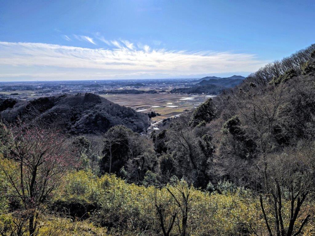
View of the Kanto plain from Ohira-jinja Shrine
View of Mt Nantai from Mt Kinchaku
The sky was lit up in orange when I finally reached Tochigi station around 5pm. There, I boarded a Tobu limited express for the one hour ride back to Tokyo. With a total time of 7 hours, this was one the longest hikes I had done in a while, although it was mostly level, with two relatively short climbs. This was one of the better sections of the Fureai no Michi, as roughly half was along hiking trails, with several viewpoints and interesting shrines and temples along the way.
See the video of the Sakura Pass hike


See a slideshow of more pictures of the Sakura Pass hike
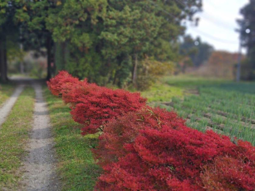
![Mt Futamata (570m), Kanuma City, Tochigi Prefecture, Saturday, December 10, 2022 [Map Available]](https://hikingtokyo.com/wp-content/uploads/2023/02/dsc_17602.jpg?w=1024)


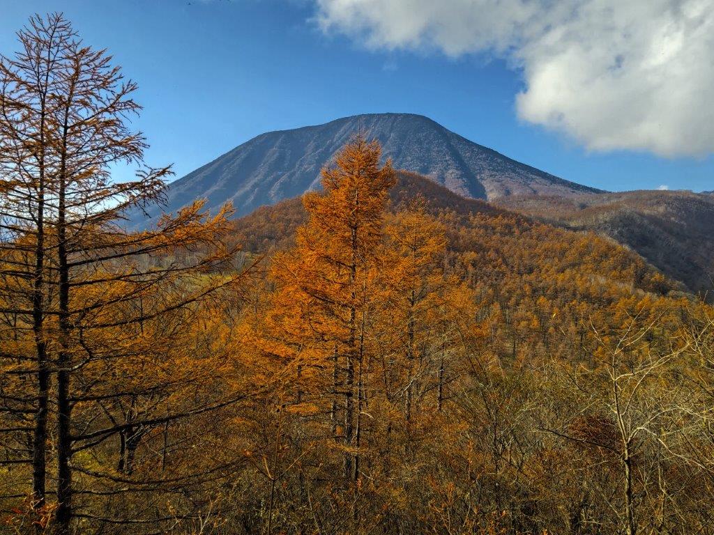
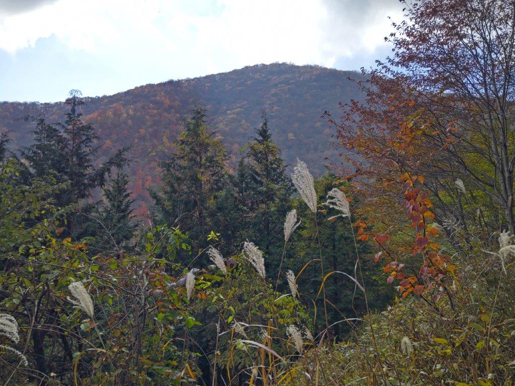
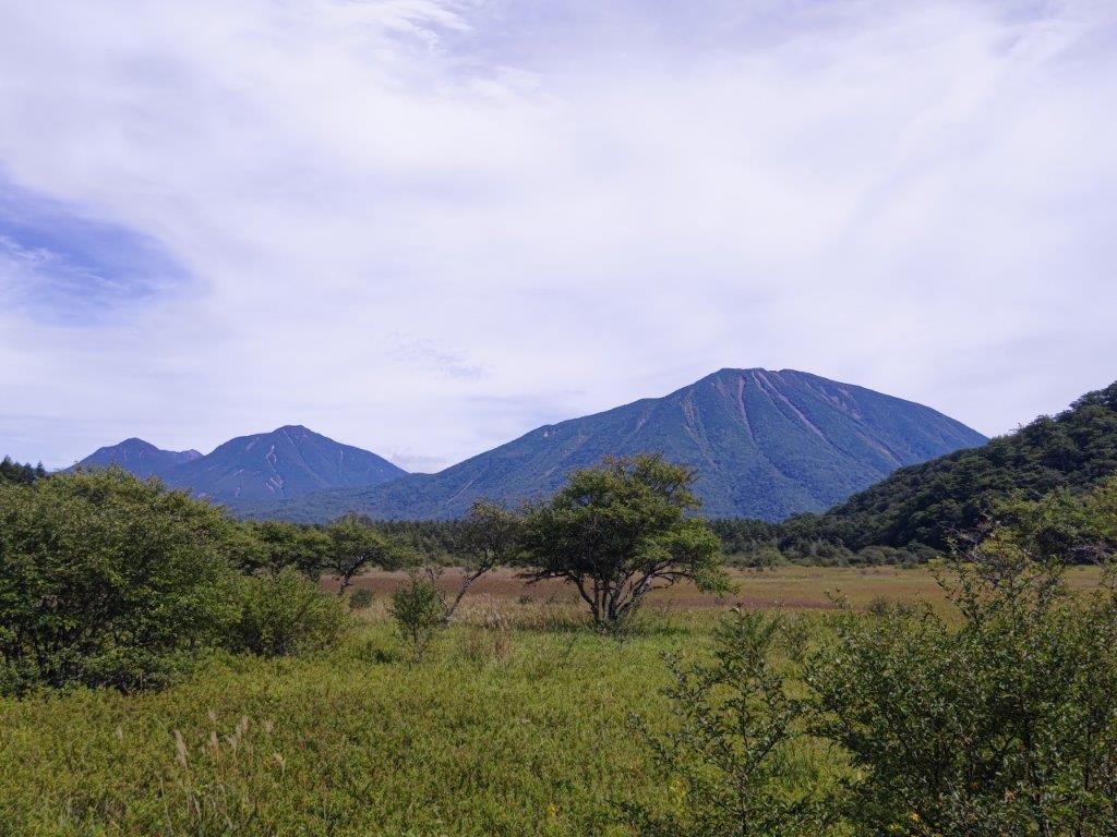
![Mt Tanze (1398m), Nikko City, Tochigi Prefecture, Saturday, November 12, 2022 [Map Available]](https://hikingtokyo.com/wp-content/uploads/2023/01/dsc_1437.jpg?w=1024)


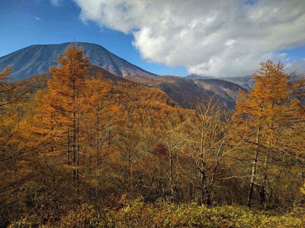


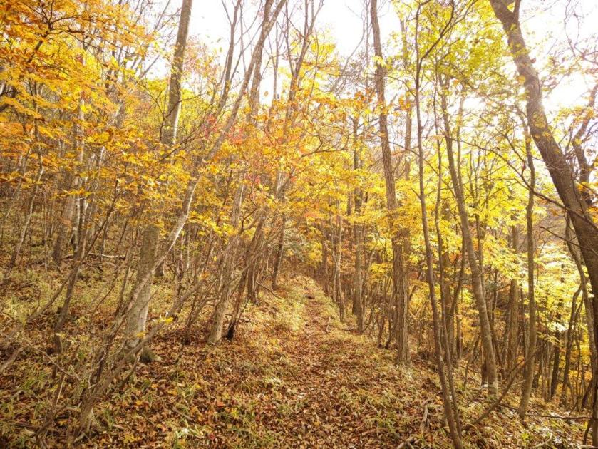
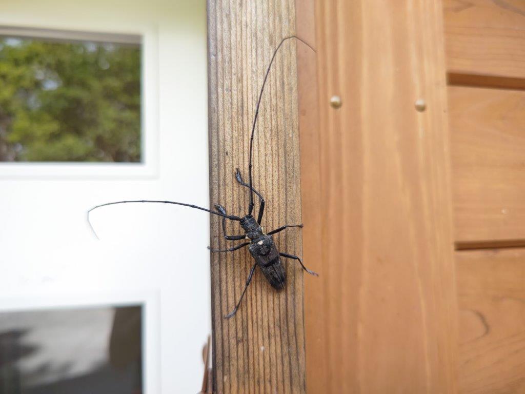
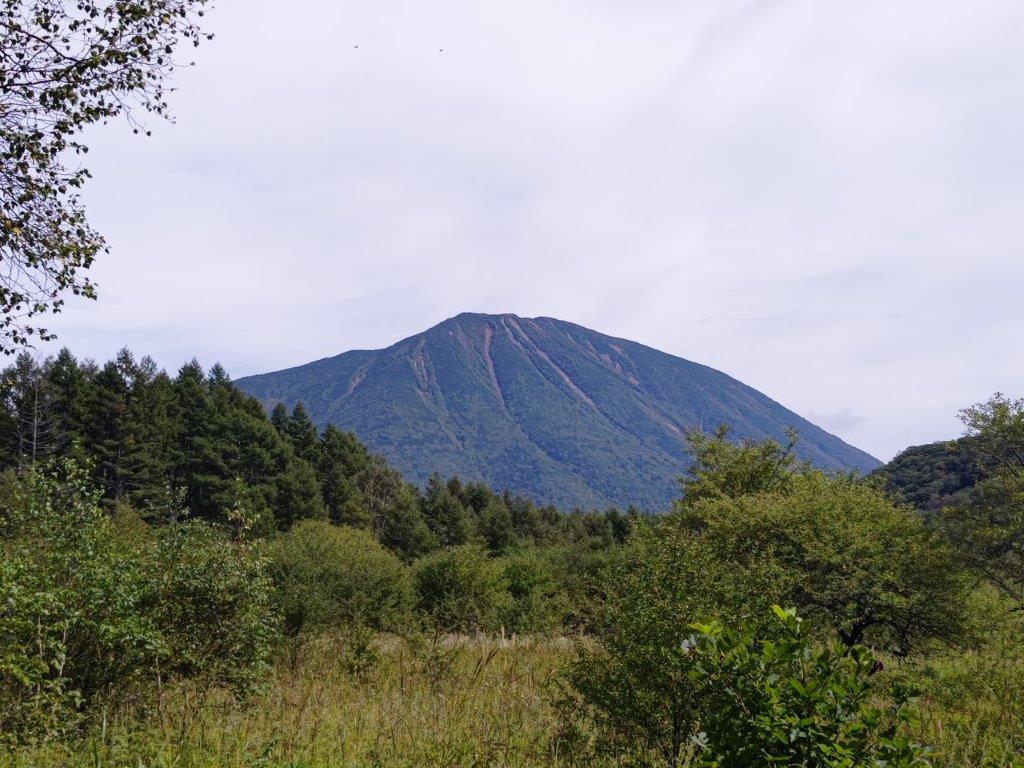
![Mt Yasuto (1151m), Nasu-Shiobara City, Tochigi Prefecture, Thursday, November 3rd, 2022 [Map Available]](https://hikingtokyo.com/wp-content/uploads/2023/01/img_20221103_133305.jpg?w=1024)


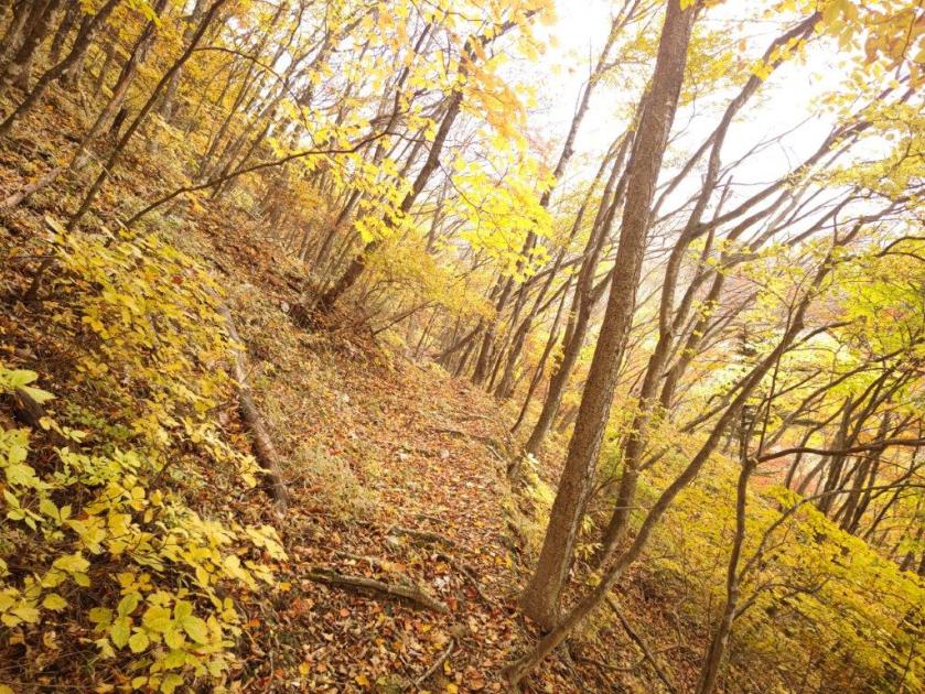


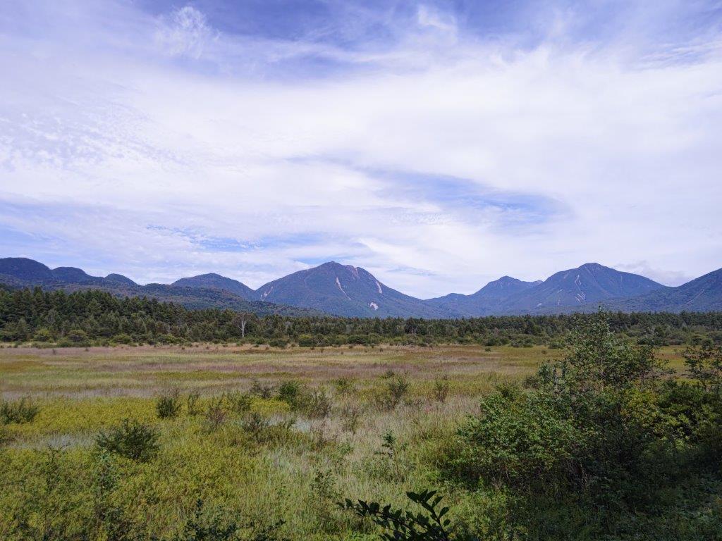
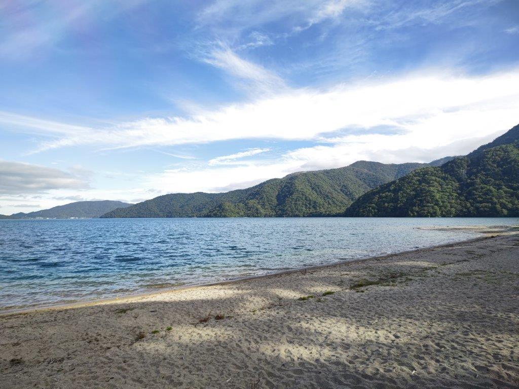
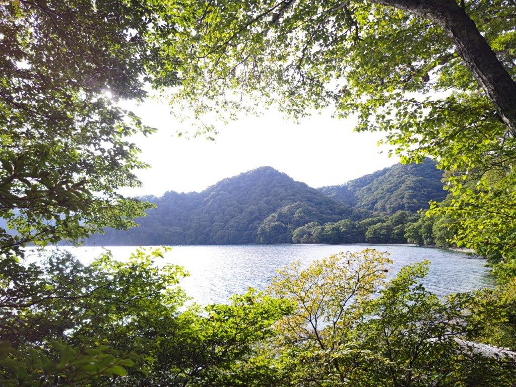
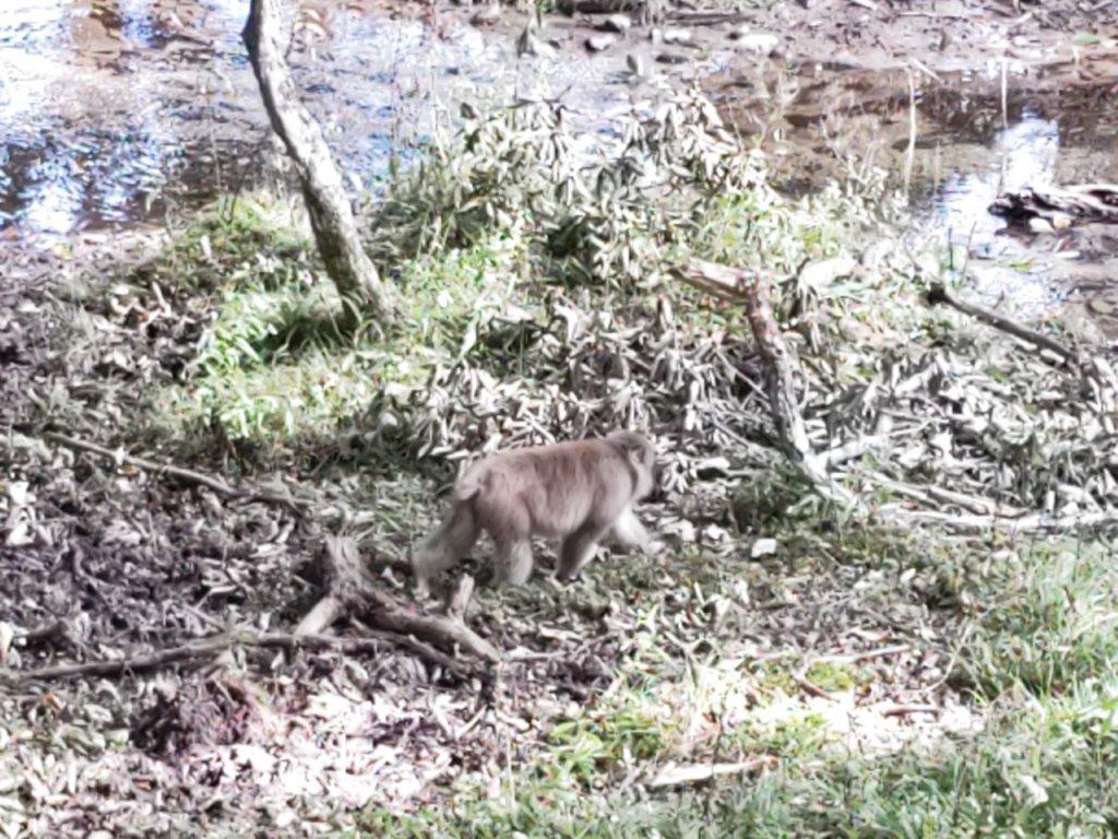
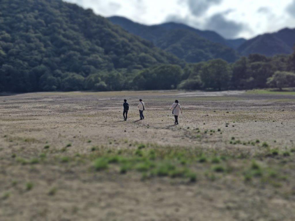
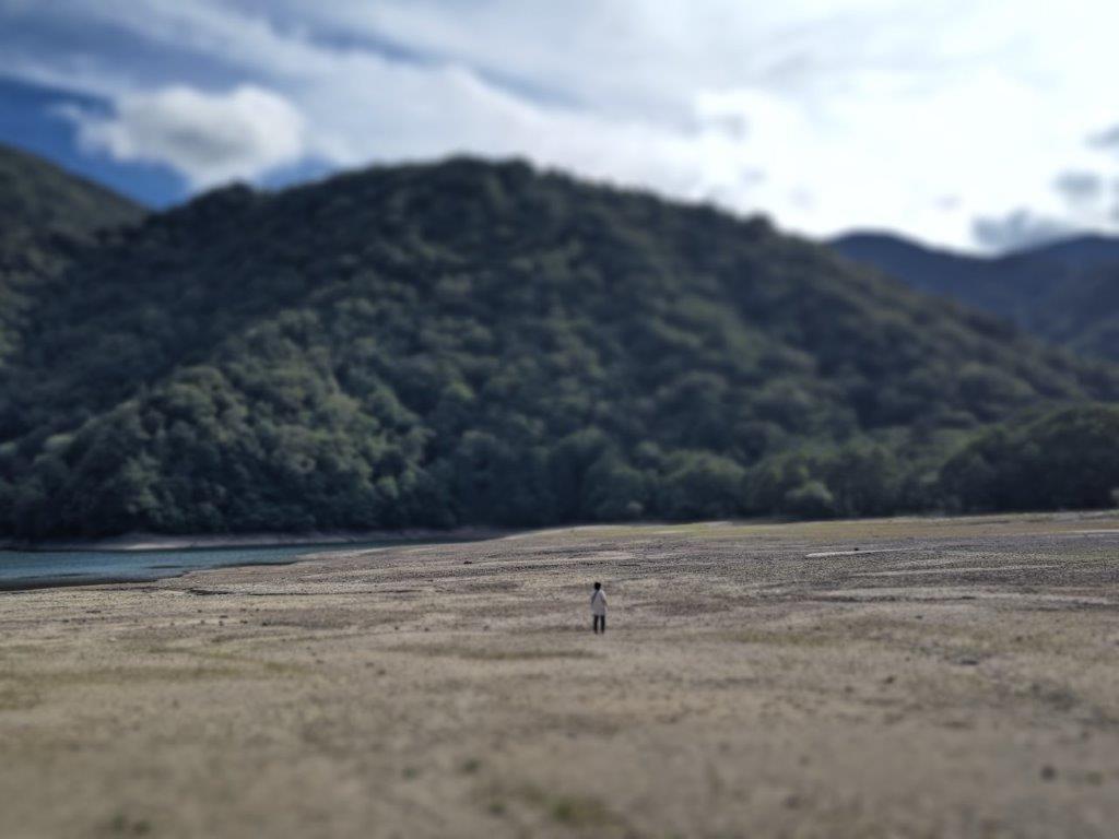
![Oku-Nikko hike (highest point 1460m), Nikko City, Tochigi Prefecture, Saturday, September 17, 2022 [Monkeys]](https://hikingtokyo.com/wp-content/uploads/2022/10/img_20220917_124605.jpg?w=1024)


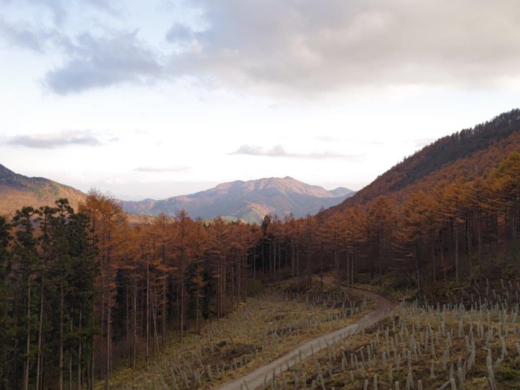
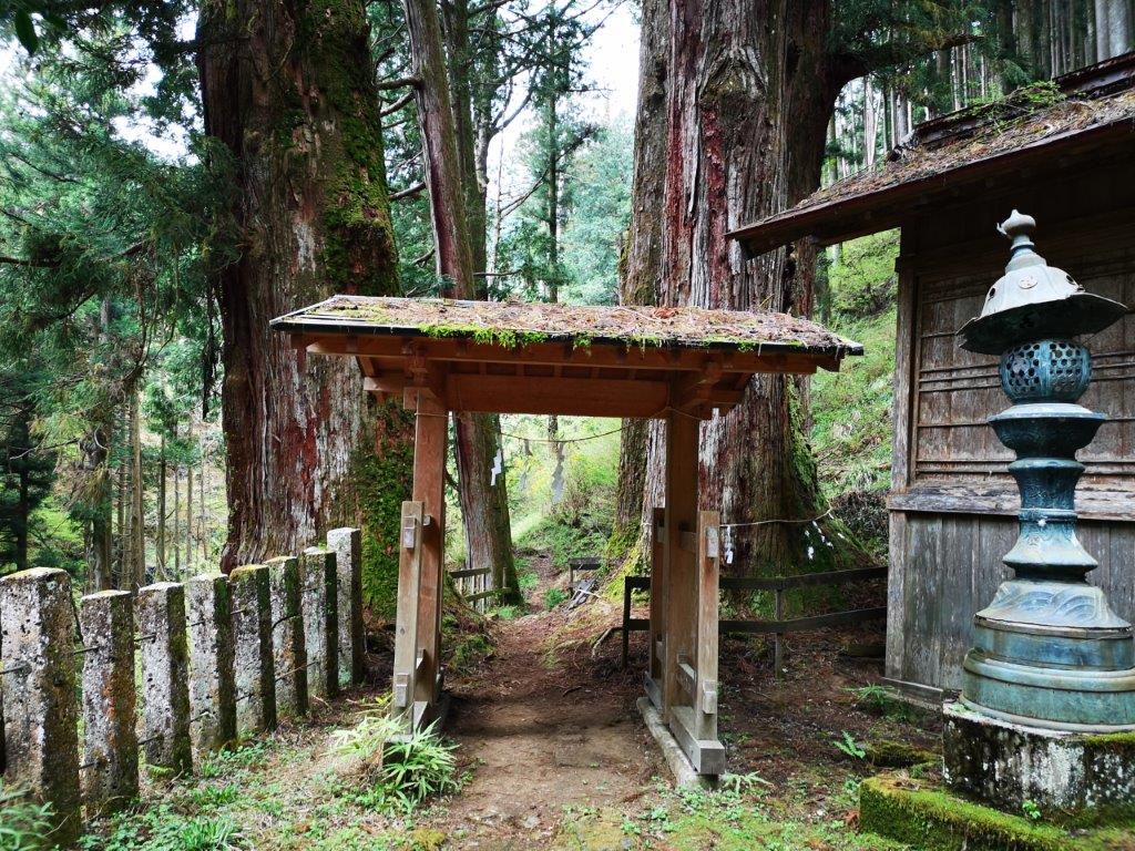
![Mt Ozaku (879m) & Mt Gassan (890m), Kanuma City, Tochigi Prefecture, Sunday, April 17, 2022 [Map Available]](https://hikingtokyo.com/wp-content/uploads/2022/06/img_20220417_113925.jpg?w=1024)


You must be logged in to post a comment.