I wanted to do a hike close to Tokyo allowing me to enjoy the autumn leaves. Looking at my hiking map, I found a short loop hike near Nagatoro town in the Chichibu mountains. It was under four hours, making it perfect for an Autumn ramble. Although the entire trail was under 500 meters, it included four different viewpoints. Since there was no public transport to the trail entrance, I would use a share car from nearby Honjo station. Before the hike, I could get lunch at a local soba restaurant. The weather was supposed to be good: some clouds in the morning but sunny later on; the temperatures would reach 20°C in the afternoon, making me wonder whether I’d get to see any Autumn colours. In any case, I was looking forwards to seeing new views in an explored corner of Chichibu.
Get a Map of the Inazawa Hiking Trail
This map was developed for Japanwilds with the Hokkaido Cartographer
Find Japan Hiking Maps on Japanwilds


Autumn Leaves (left) and Bamboo (right) at the Start of the Hike


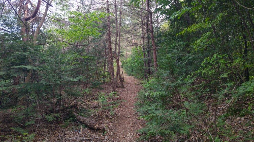
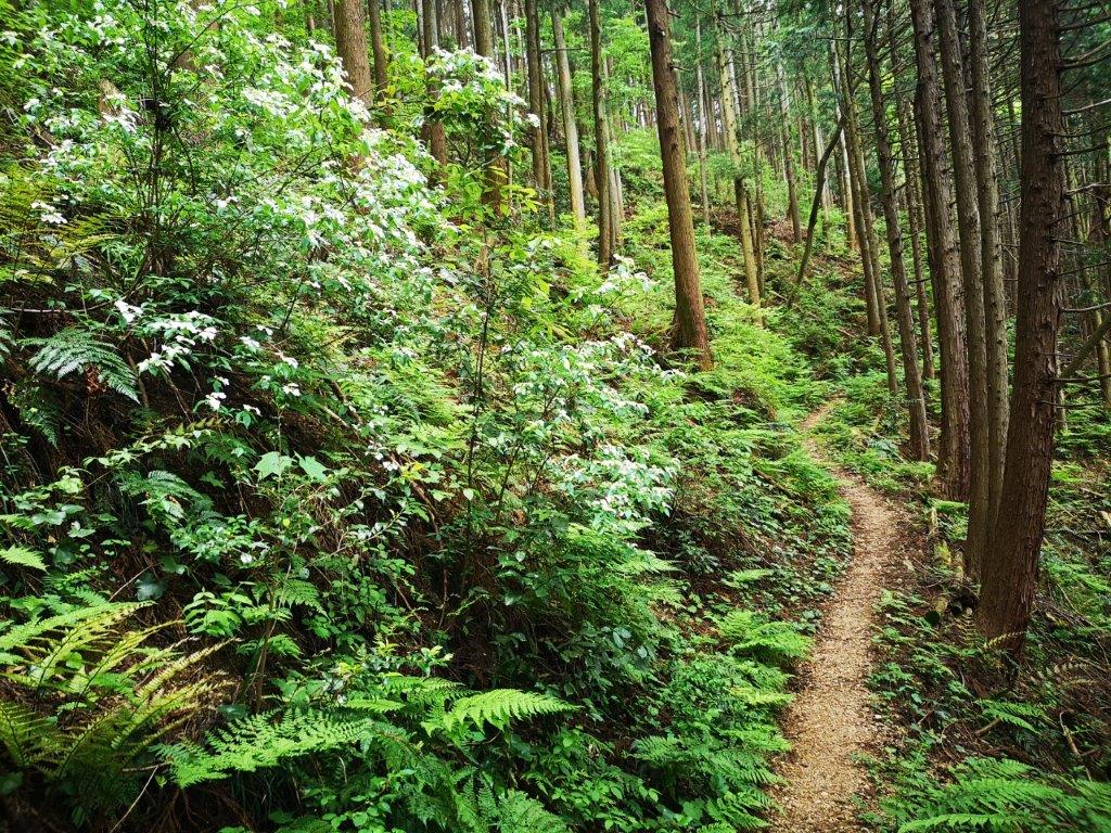
Walking through the Bamboo Tunnel
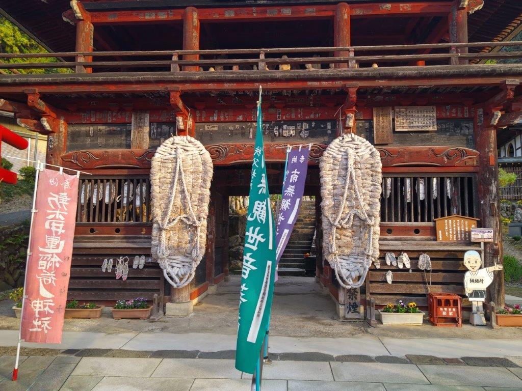
It was a fine autumn day as a I rode the Shonan-Shinjuku line to Honjo station. I drove for about half an hour, reaching Nishoan (二松菴) a little before noon. After a short wait, I enjoyed some delicious handmade soba with tempura. From the restaurant, it was a short drive to the small parking lot near the start of the Inazawa Hiking Trail (稲沢ハイキングコース). After getting ready, I set off just before 1h30, following a road through a small village.
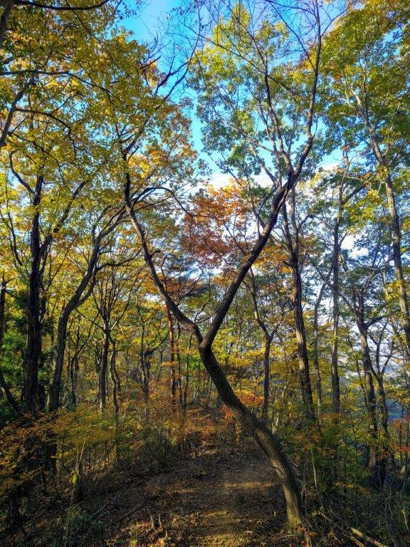

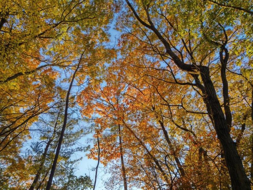
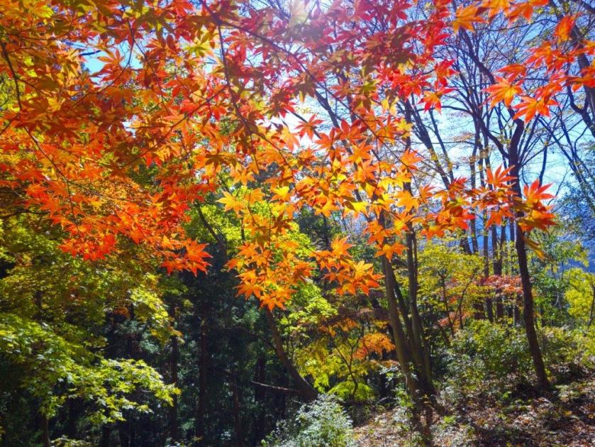
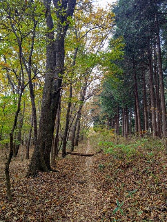
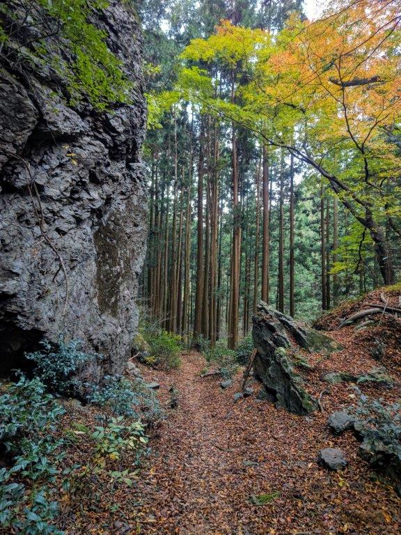
Walking under the Autumn Leaves
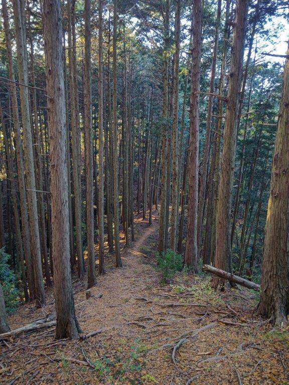

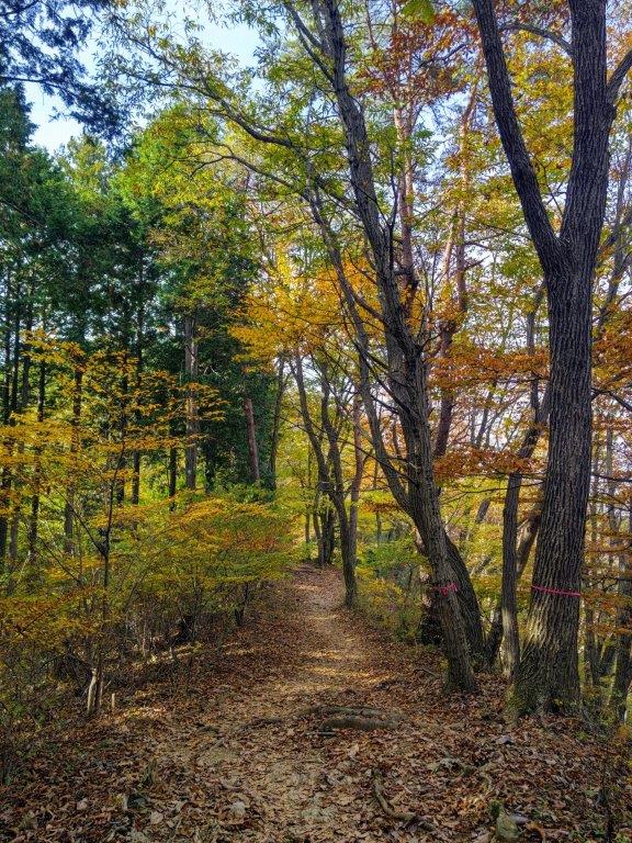
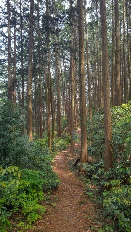
In the Shade of the Cedars (left) Late Afternoon Light (right)
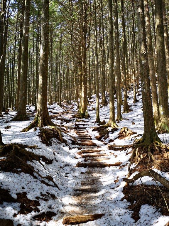
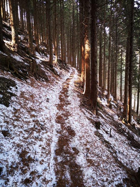
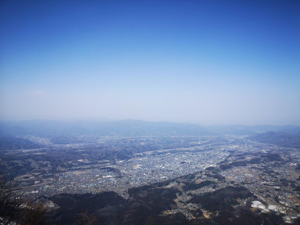
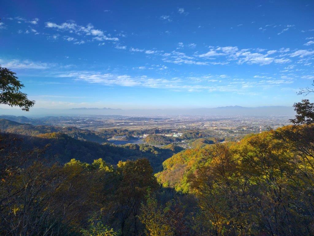
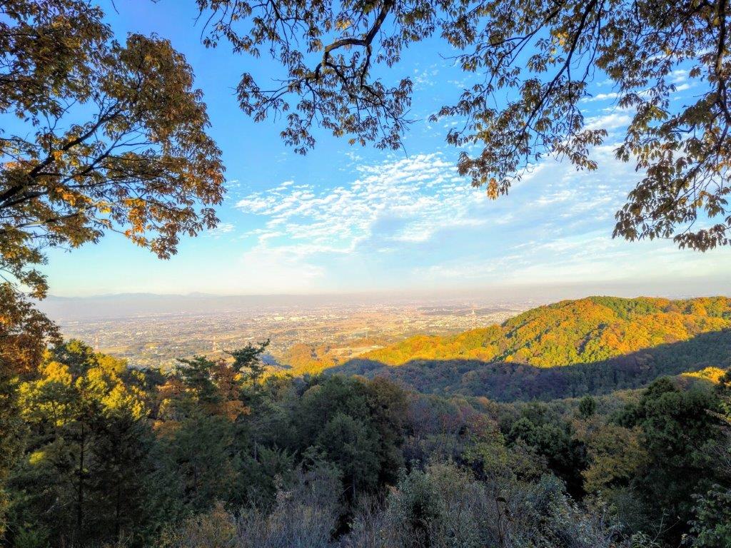
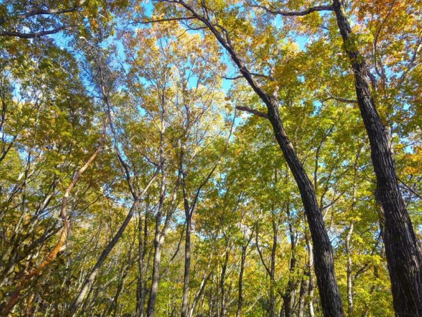
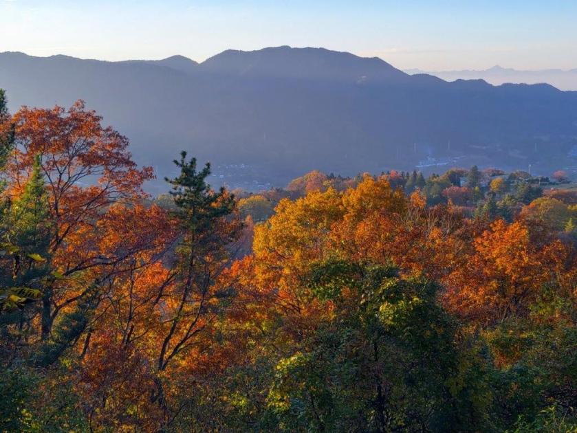
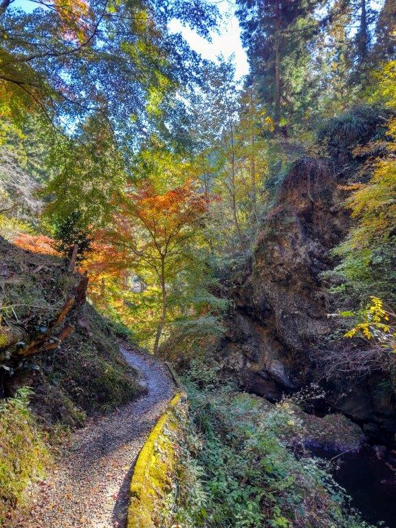
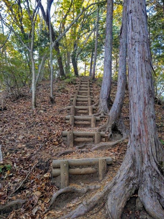
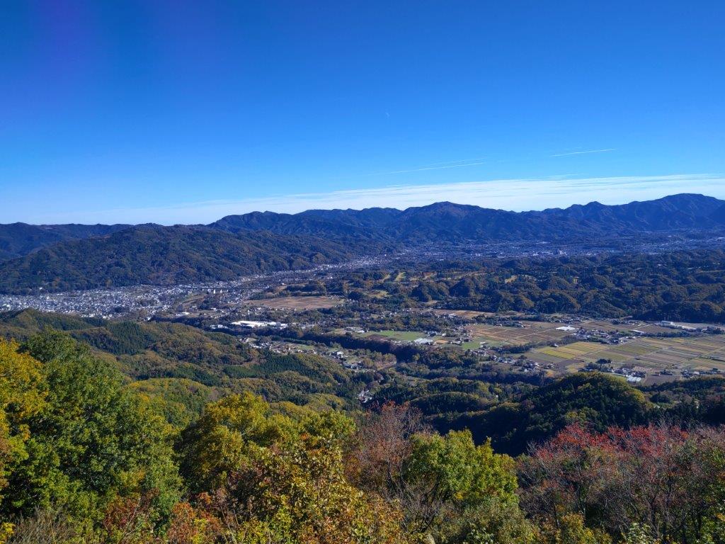
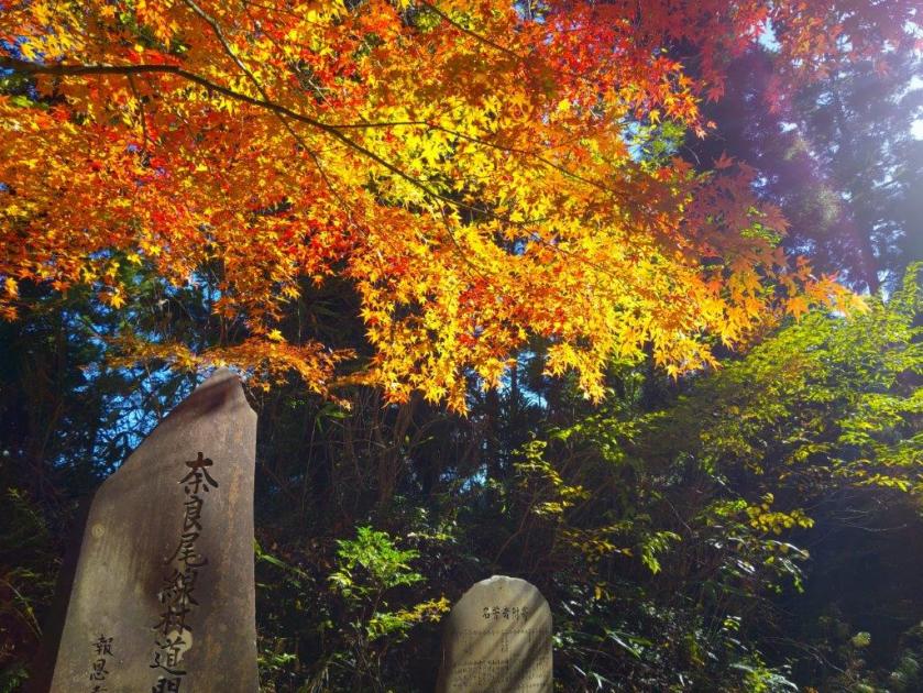
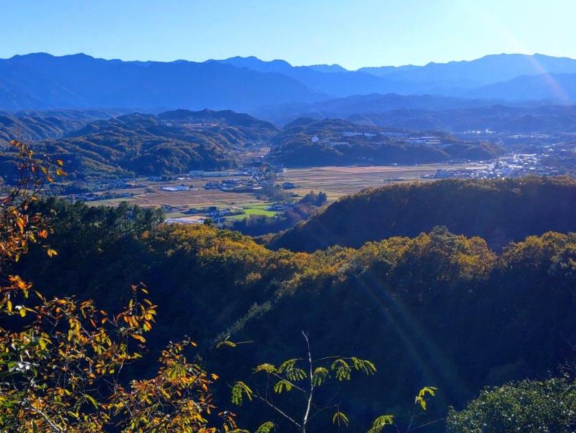
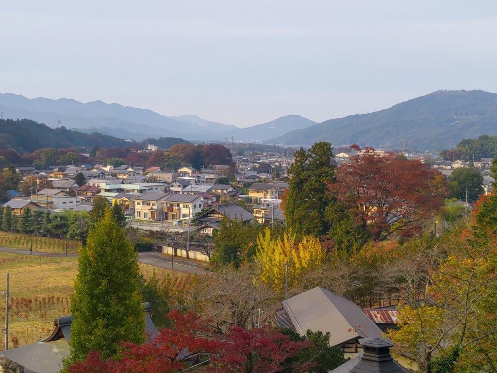
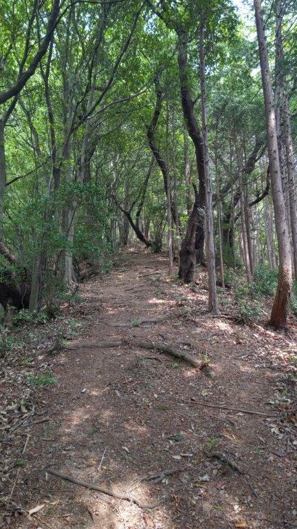
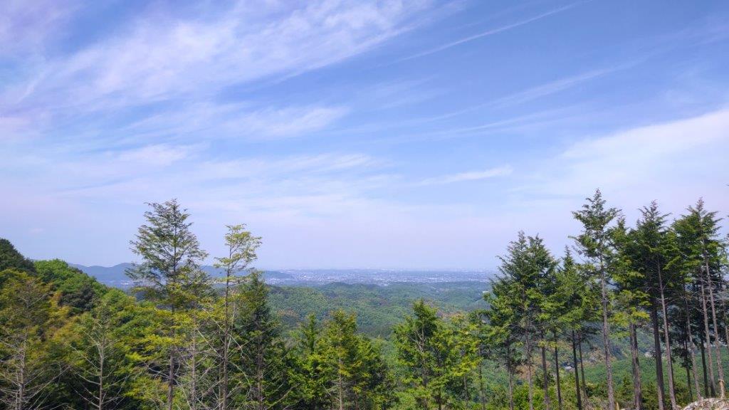
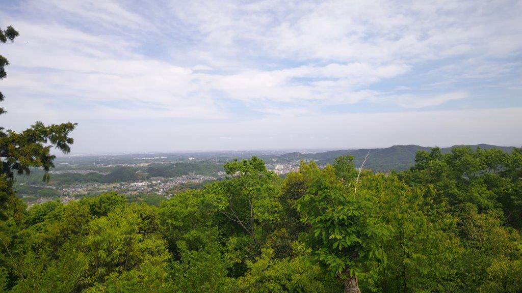
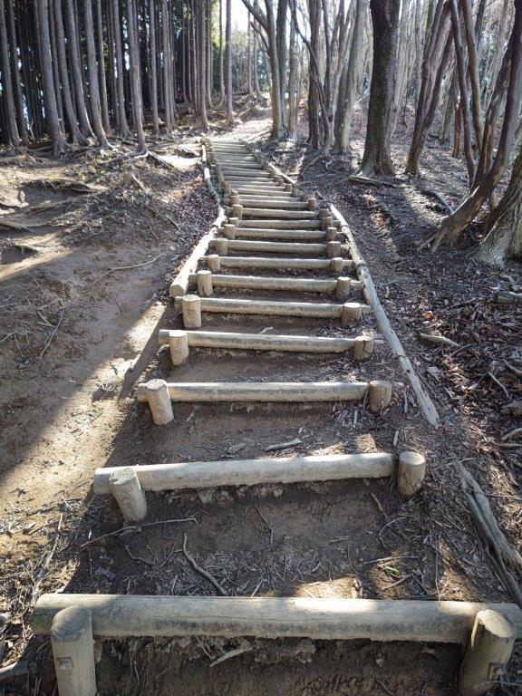
I found myself walking under coloured leaves, as soon as the last house was behind me. Shortly after, bamboo surrounded me on both sides, the tall stalks creating the effect on a tunnel. The path suddenly went straight up the mountain side, demanding a burst of effort to reach the ridgeline. On the right was an open space, turned into terraced fields; it was also the first viewpoint of the hike. On the east side, I could see the Kanto plain, its finer details lost in the haze. After some more climbing through mixed forest, I reached bench in the middle of the trees. Following the ridge a little further, I arrived at the day’s second viewpoint.

Start of the Inazawa Hiking Trail

Kanto Plain from the 1st Viewpoint
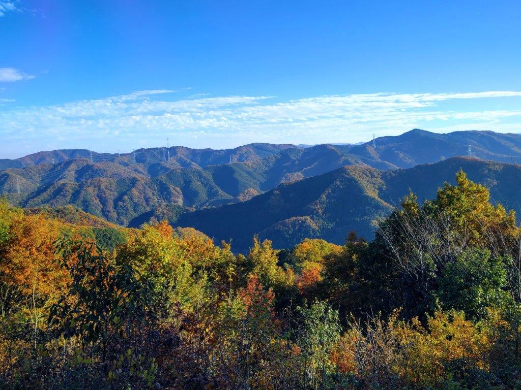
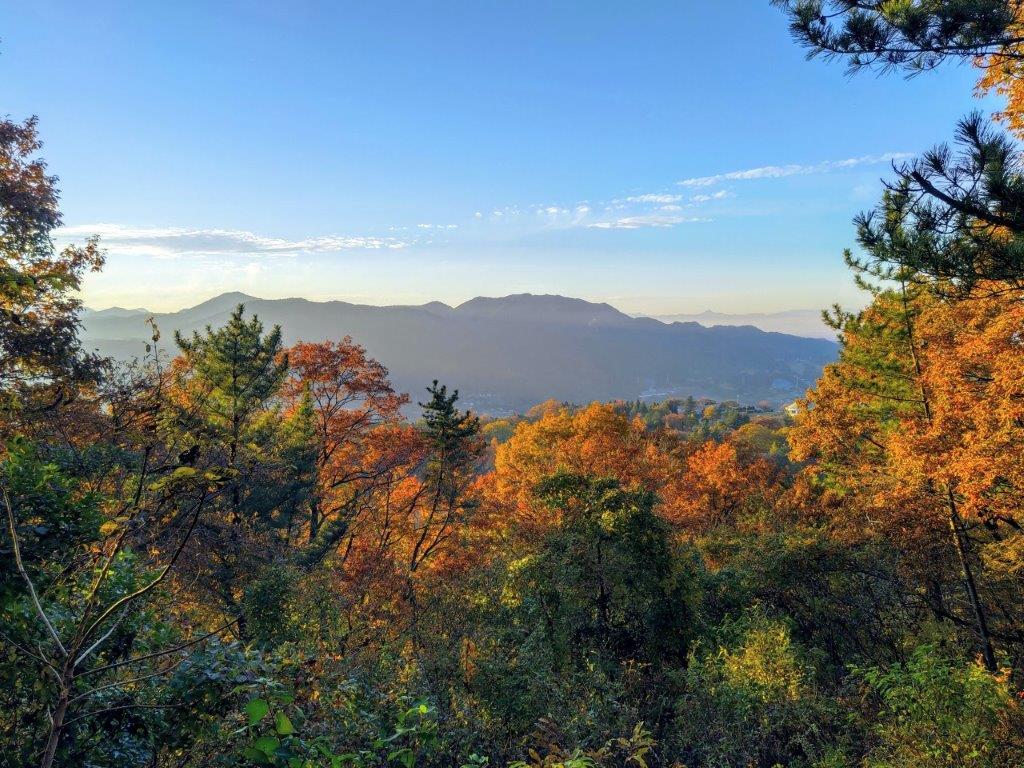
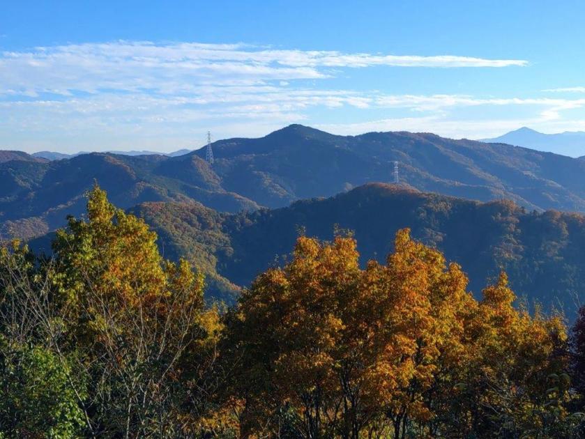
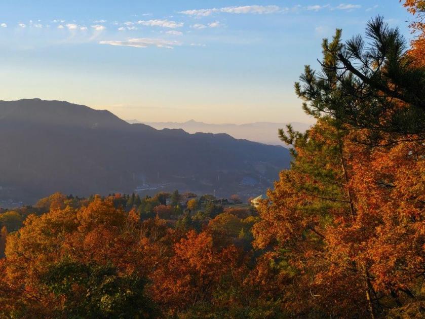
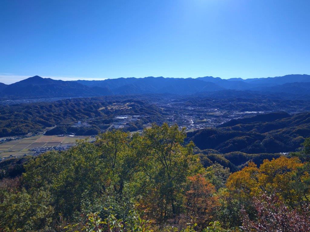
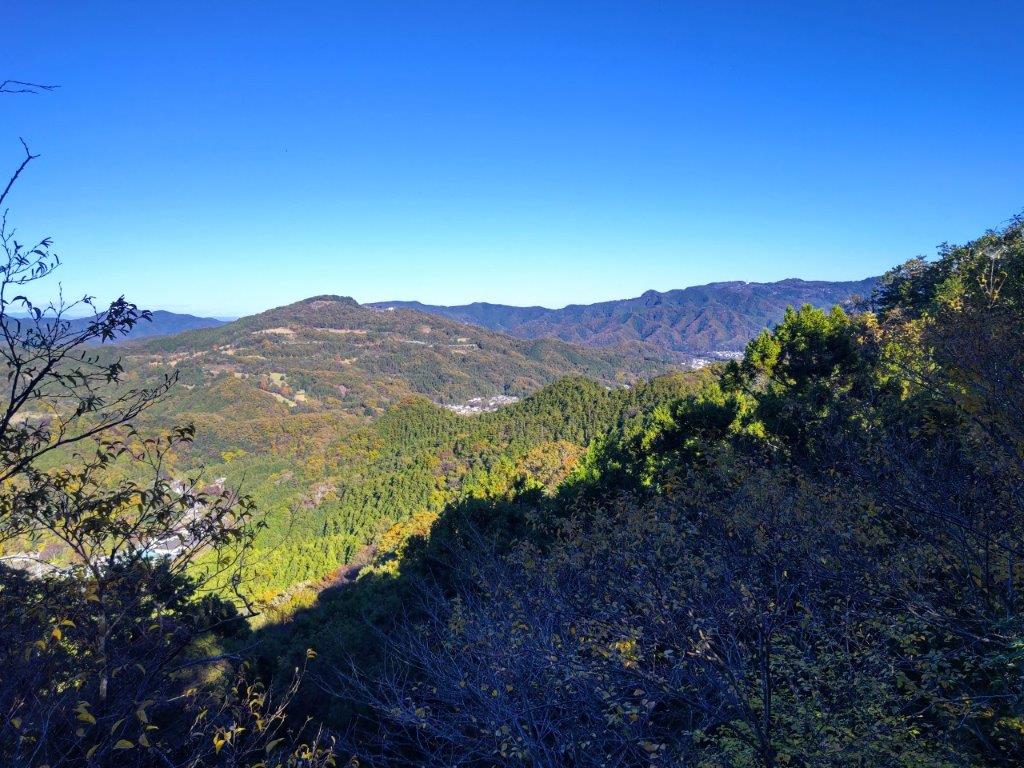
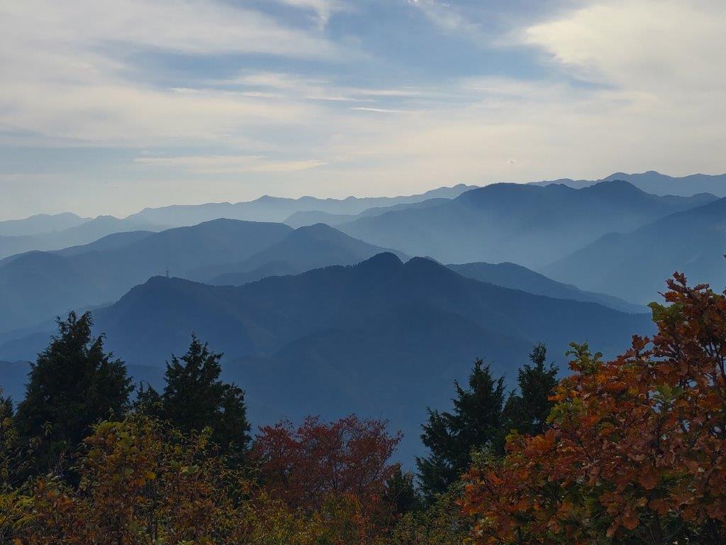
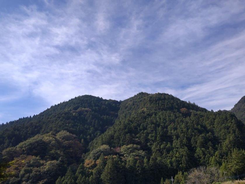
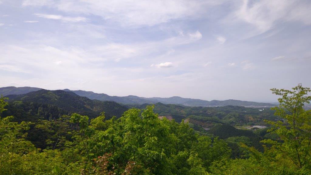
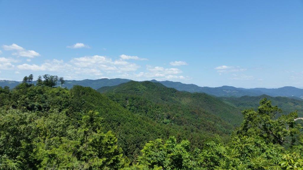
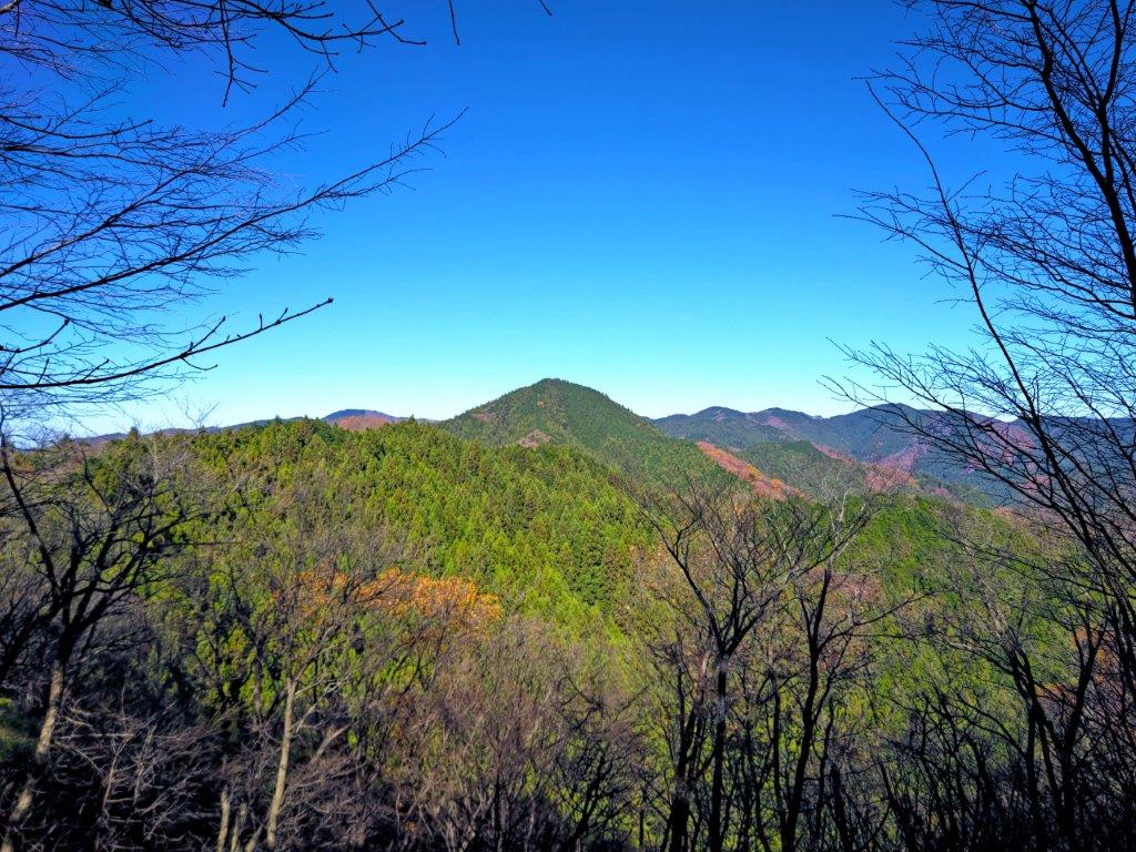
Looking north, I could see the peaks of the Mt Haruna volcano. After a short break, I set off again, passing a small shrine and its wooden Shinto gate (“torii“). The trail went down and up through the oaks, the overhead leaves golden in the afternoon sun. After a steep climb, I reached the third viewpoint, and second bench, of today’s hike just before 3pm. Looking north again, I could see both Mt Akagi and Mt Haruna. On the south side were the Nagatoro North Alps, with Mt Buko in the background. After another short break, I continued on my way.

Mt Haruna from the 2nd Viewpoint

Mt Haruna (left) and Mt Akagi (right) from the 3rd Viewpoint
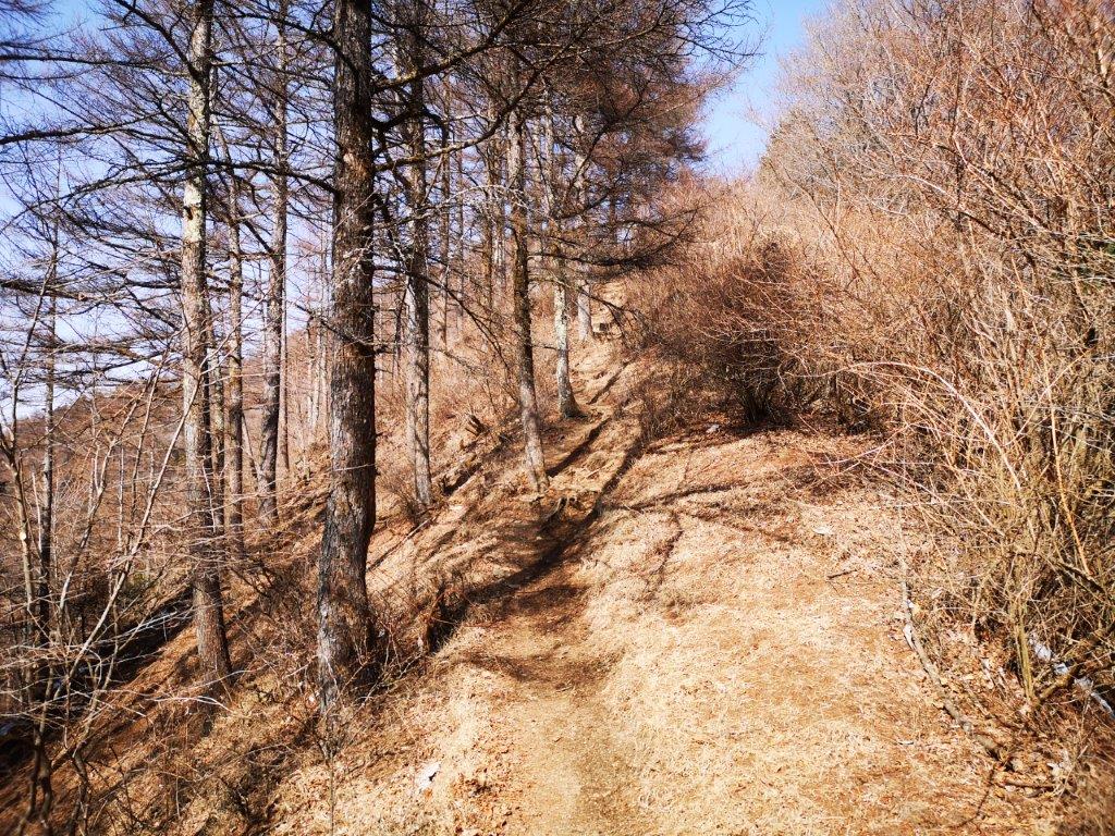
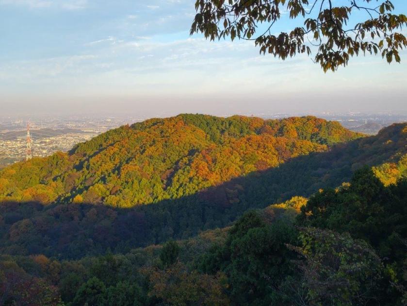
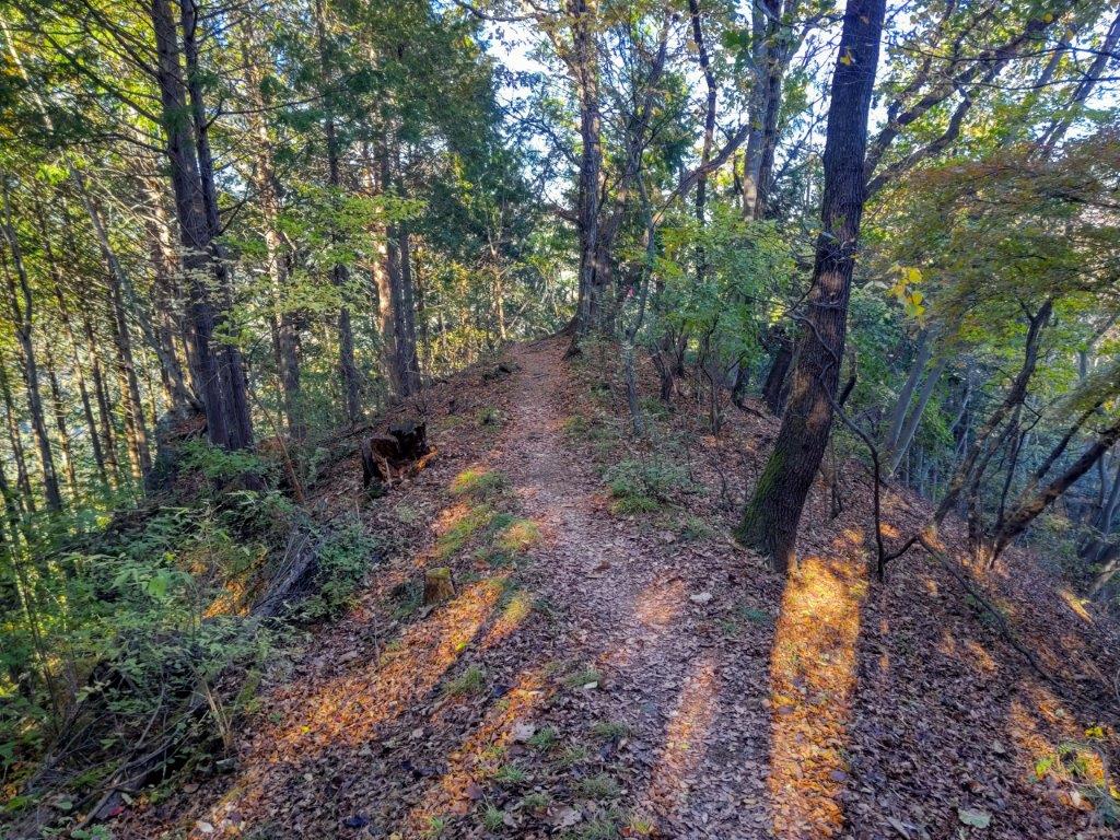
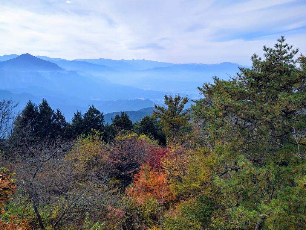
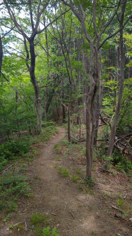
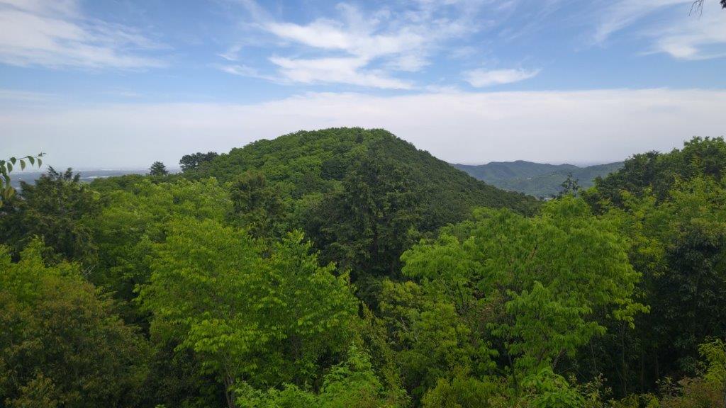
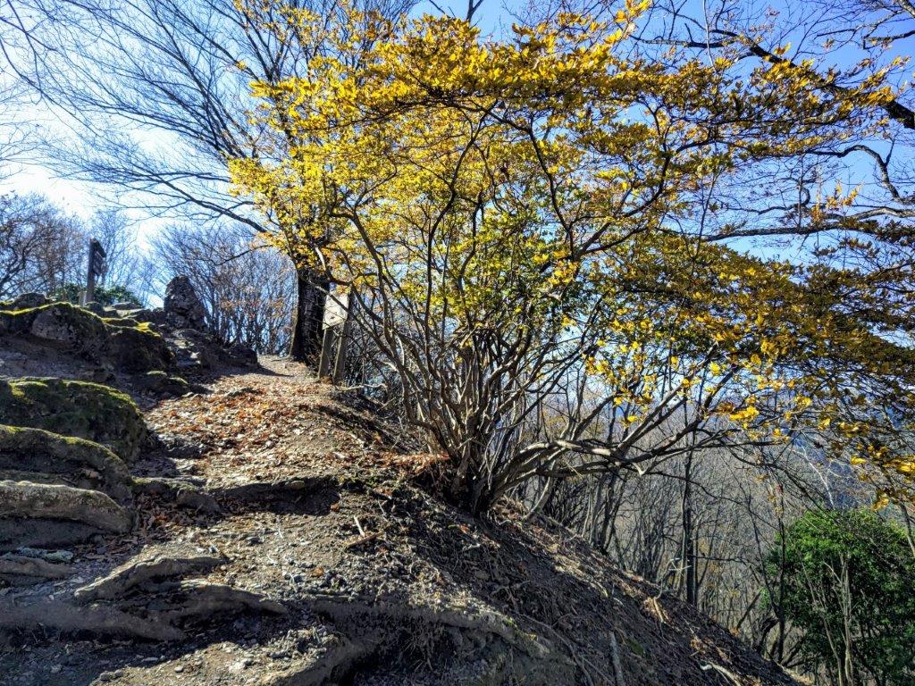
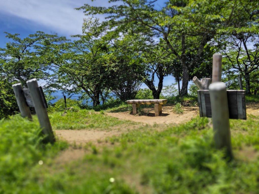
The trail continued up and down through lovely mixed forest. Half an hour later, I reached the fourth and final viewpoint. It was again on the east side, towards the Kanto plain, but this time I could observe most of the ridgeline I had just followed; in the very far distance, I could make out Mt Nantai and the snowy peak of Mt Nikko-Shirane. This spot also had a bench so I sat down to enjoy the last view of the day, the hills rust-coloured in the late afternoon light. I soon started to descend, anxious to get off the mountain before sunset.
The Nagatoro North Alps from the 3rd Viewpoint

Looking back at the Inazawa Hiking Trail
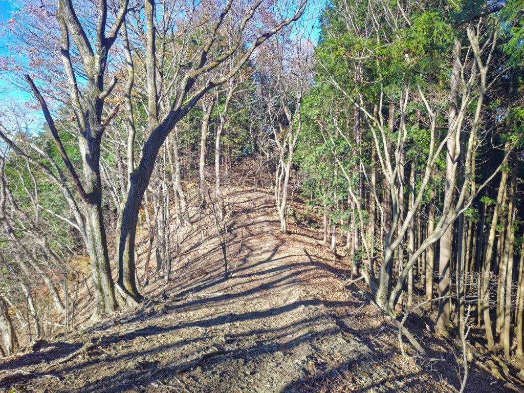
I was pleasantly surprised to get one last view between the trees of the twin peaks of Mt Mikabo, on the west side. I was now heading straight down the mountain among the cedars; the sun had disappeared behind the ridgeline and the surrounding forest had turned gloomy. After a short rocky section and a series of switchbacks, I emerged onto a forest road at the base of the mountain. After crossing three log bridges, I reached some houses on a road, where I turned left. From there, it was a short walk back to the parking lot which I reached just before 4h30, just as it was getting dark.
Kanto Plain from the 4th Viewpoint
On the West Side, the mountains of Gunma
I was delighted to have discovered this hike, created by the Honjo Mountain Association, apparently quite recently, judging from the fresh paint on the signs. The entire loop is relatively short, about three hours, and the short steep up and down sections make it fun and interesting. The views are the best part, especially since they are in all four directions; I could get a really good sense of the location of this low range of hills. It seems this hike is also popular for its cherry blossoms in the spring, so I hope to return to do it in the future in a different season.


See a Slideshow of more Pictures of the Hike
![Mt Happu (626m) & the Minano Alps, Minano Town, Saitama Prefecture, Sunday, November 19, 2023 [Map Available]](https://hikingtokyo.com/wp-content/uploads/2023/12/dsc_0925.jpg?w=1024)


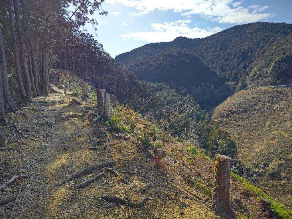


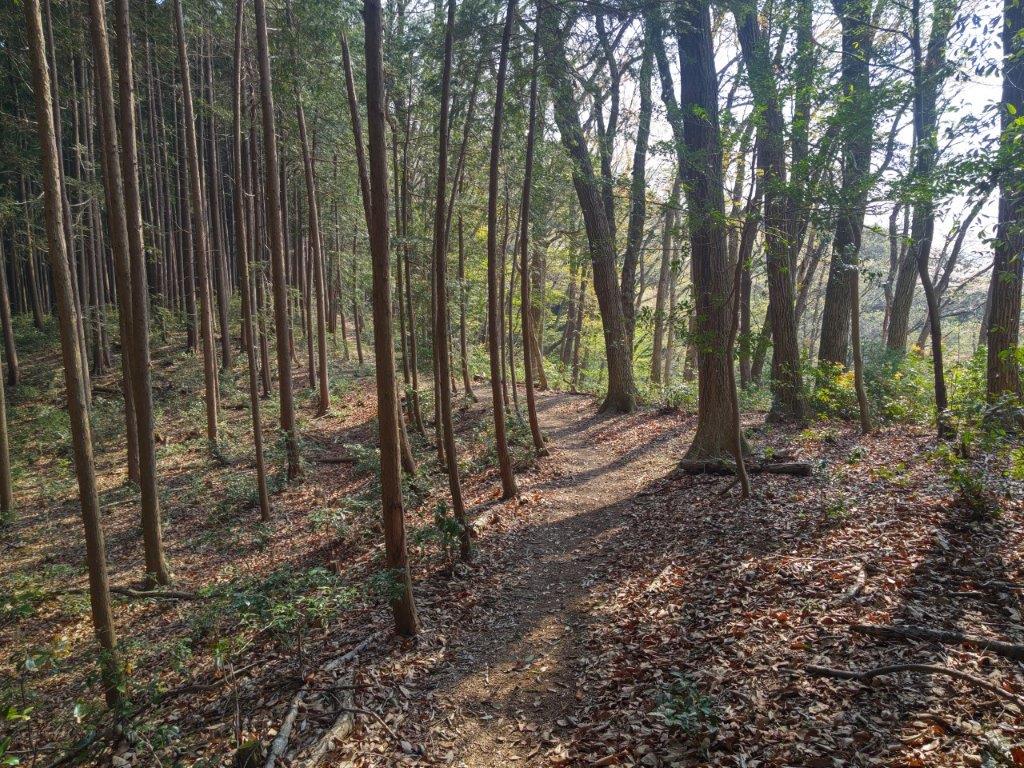


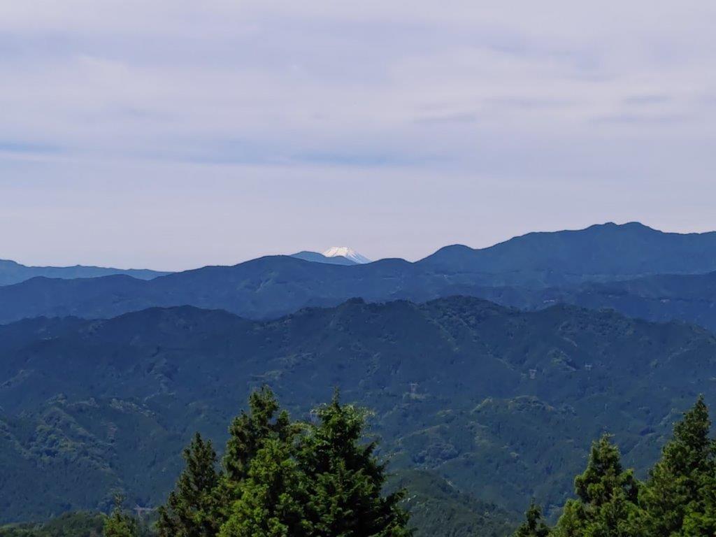


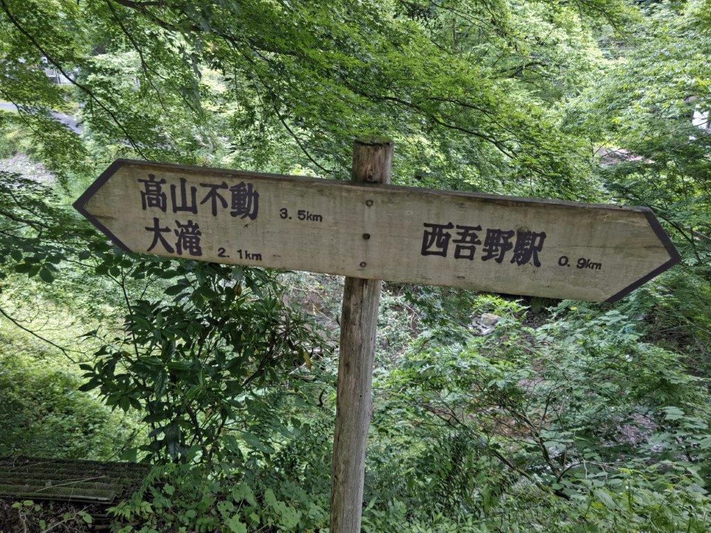
![Mt Otakatori (376m), Ogose Town, Saitama Prefecture, Sunday, May 22, 2022 [with 4K video]](https://hikingtokyo.com/wp-content/uploads/2022/07/img_20220522_160218.jpg?w=1024)


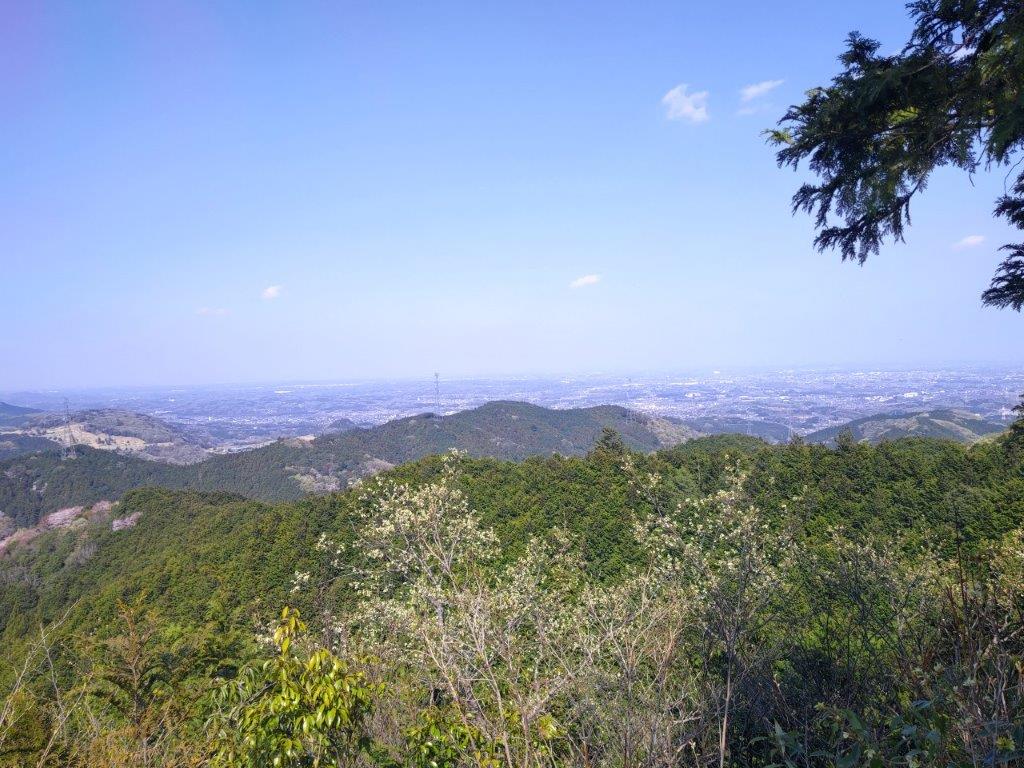
![Mt Buko (1304m), Yokoze Town, Saitama Prefecture, Saturday, March 5, 2022 [MAP AVAILABLE]](https://hikingtokyo.com/wp-content/uploads/2022/03/img_20220305_123359b.jpg?w=1024)