
The JR Tokyo wide pass is arguably the best deal for hikers living in the Tokyo area. Unless you don’t mind shelling out a small fortune to ride the shinkansen or spending more time travelling to and from your destination than hiking there, the majority of your hikes will be limited to the Okutama, Tanzawa and Chichibu areas. That in itself is not such a bad thing – there are dozens and dozens of excellent hikes in those areas and if you are just starting out you may not feel the urge to travel much further. However if you’ve been in Tokyo for several years and are yearning for something new, this pass will put dozens of new hikes in Gunma, Tochigi and even Niigata within striking distance.

BACKGROUND
The pass, first introduced in 2014, was originally called the Kanto 3 day pass and cost 8300 yen. However in December 2015 it was renamed the JR Tokyo wide pass and the price was increased to 10000 yen (a nice round figure for once) but now includes the Echigo-Yuzawa shinkansen station which gives access to multiple Niigata hikes – definitely worth the extra 1300 yen (also good for skiing in the winter).
THE PROS
You can get all the details on the pass on the website but the main attraction for hikers is 3 consecutive days of unlimited use of the shinkansen in the Kanto area. Even non-Japanese residing in in Japan can purchase it, unlike the JR Pass which is for tourists only – don’t forget to bring your passport when buying it. Japanese citizens can’t buy the pass (even if they live abroad) so unfortunately there is no affordable way for Japanese friends / family members to join you on this high-speed train binge. On the plus side, it includes reserved seating, a perk that won’t go unappreciated by tired hikers on the return leg.
The original intent of the pass is the promotion of tourism in the Kanto area by having people go out there for 2 or 3-day trips using a variety of train lines. However I recommend hikers use it for two or three 1-day trips using the shinkansen every time – it is such a great deal that even if you only use it for 2 days you will be getting your money’s worth. Using other trains even limited express doesn’t really make sense in terms of time, money, comfort and convenience. For example, a shinkansen round-trip from Tokyo to Karuizawa costs about 10000 yen which is the cost of the pass so two 1-day trips is equivalent to a 50% discount and if you get lucky with the weather and can go all 3 days, you would only pay one third of the price – I’ve done this more than once.
THE CONS
As much as I love the pass and rave about it to friends and acquaintances on every occasion there are a few points for improvement. First, the Tokaido line isn’t included. I hope they can make a deal with JR West since it’s only one hour away from Tokyo and there is a lot of great hiking in Shizuoka – Izu peninsula, Gotemba area near Mt Fuji, Minami Alps. The pass includes Shimoda at the tip of the Izu peninsula in Shizuoka and also includes a ride on a private railway company to get you there so it wouldn’t be anything radical.
Next, buses aren’t included which is a shame since a lot of popular tourist destinations (such as Ikaho and Kusatsu hot springs) require a bus connection. A round-trip bus ride can tag on about 2000 to 4000 yen onto the total price. Since some buses are operated by JR that shouldn’t be a stretch. Finally you have to choose the start date when purchasing the pass. Since hiking is weather dependent I often buy the pass at the very last minute (the day before since the most sales locations don’t open till 10am) in order to get the latest weather forecast. If you can’t go on the chosen date for whatever reason (typhoon, sudden illness) you can’t get your money back.
Overall, I believe that the pros far outweigh the cons and in the next post I’ll give some suggestions on where to hike using the Tokyo wide pass.

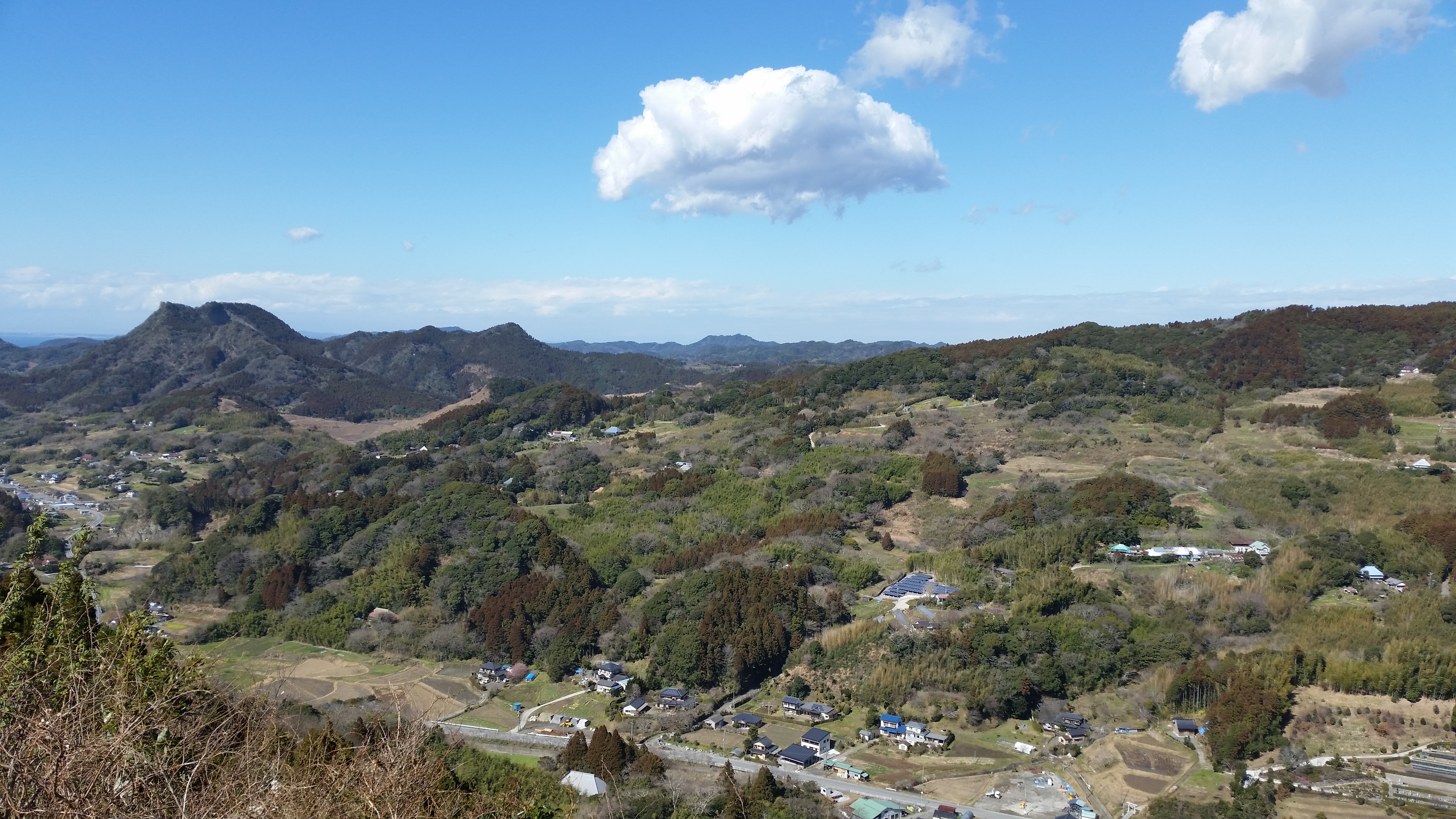
![Mt Takago (330m), Kimitsu City, Chiba Prefecture, Sunday, May 15, 2016 [Map Available]](https://hikingtokyo.com/wp-content/uploads/2023/11/20160515_140745.jpg?w=1024)


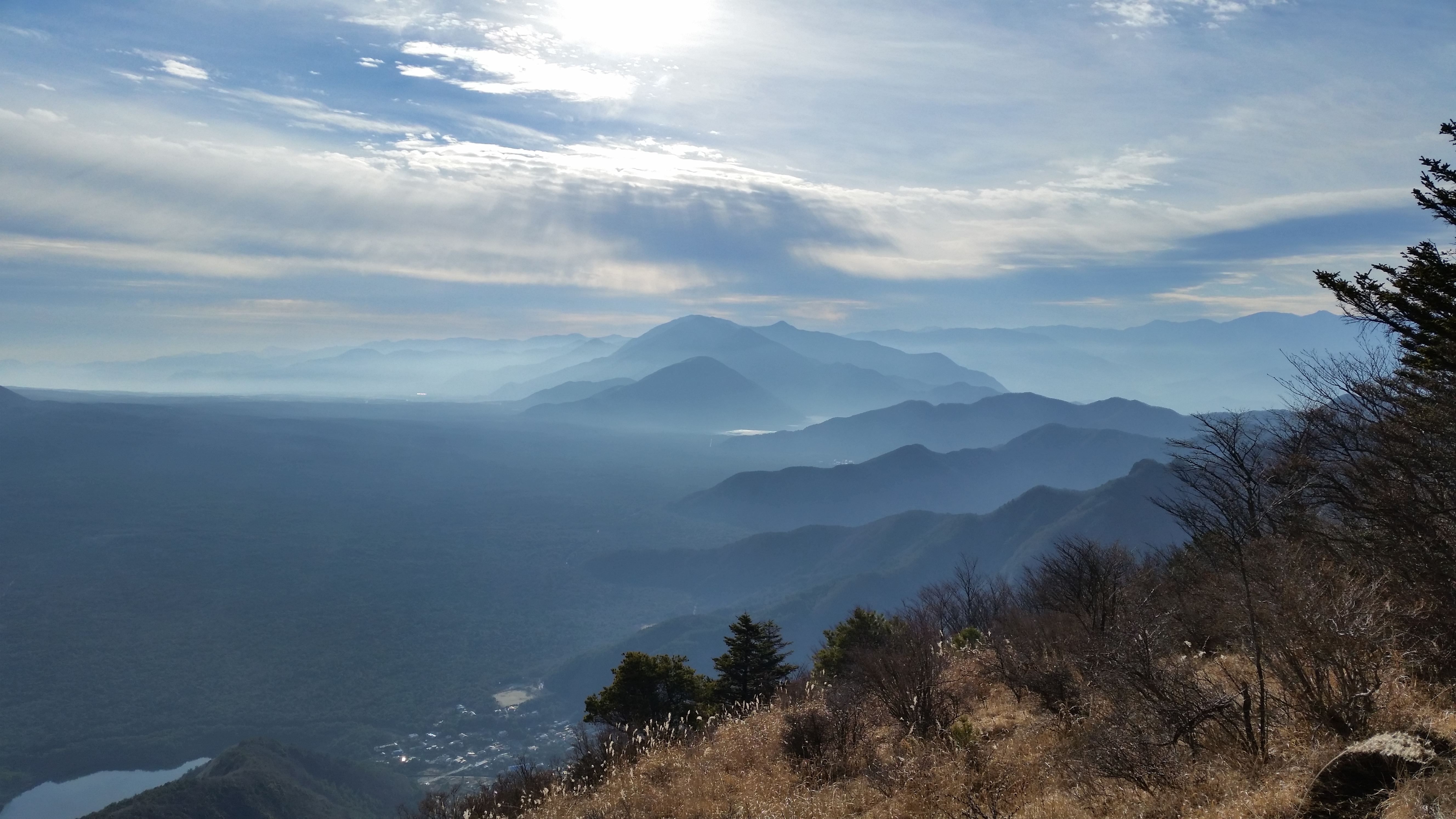
![Mt Sobo (1756m), Kumamoto, Oita & Miyazaki Prefectures, April 2016 [Map Available]](https://hikingtokyo.com/wp-content/uploads/2023/05/20160414_122153.jpg?w=1024)


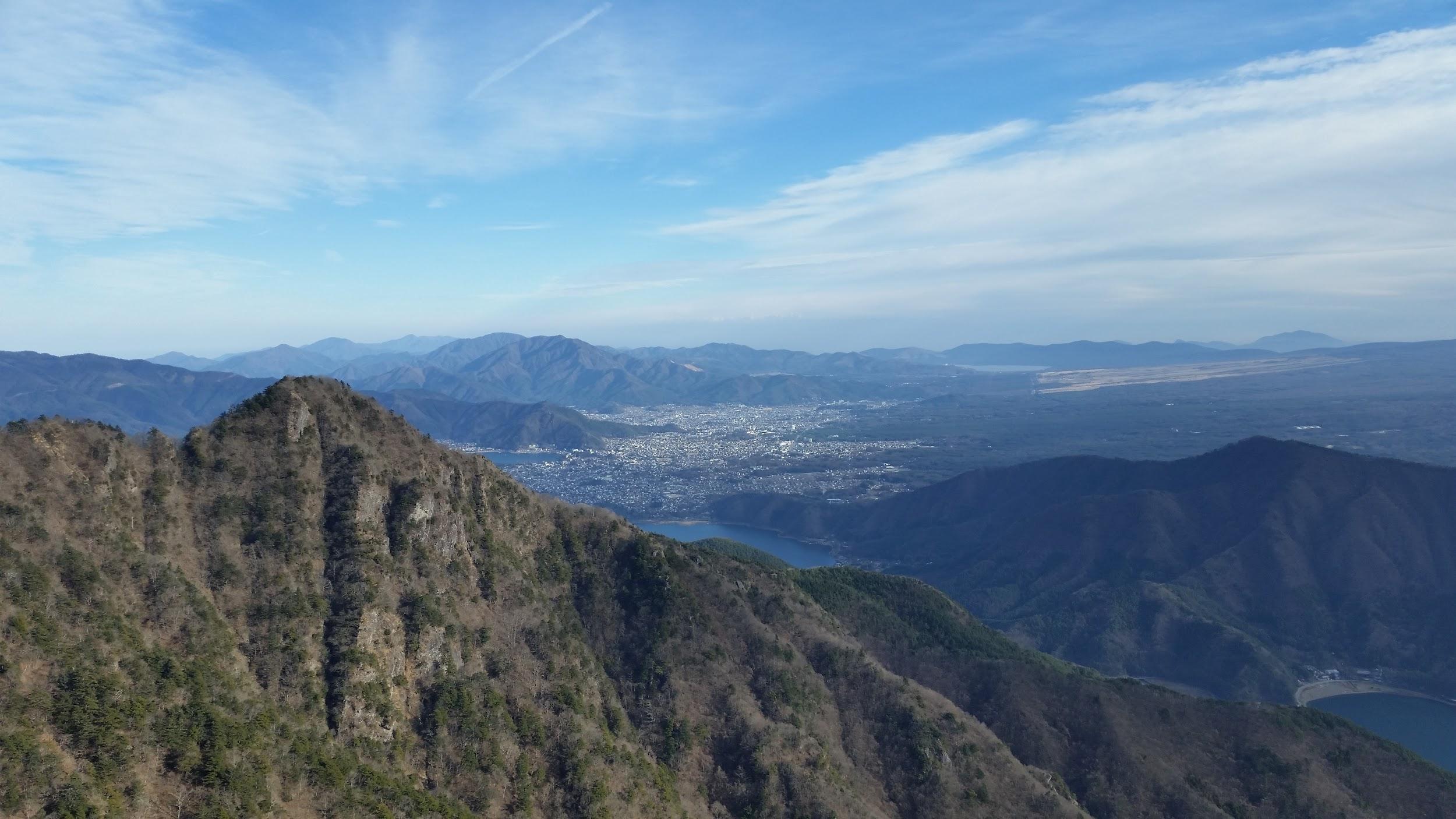

![Mt Amakazari (1963m), Otari Village, Nagano Prefecture, Monday, October 26, 2015 [Map Available]](https://hikingtokyo.com/wp-content/uploads/2022/11/20151026_073231.jpg?w=1024)

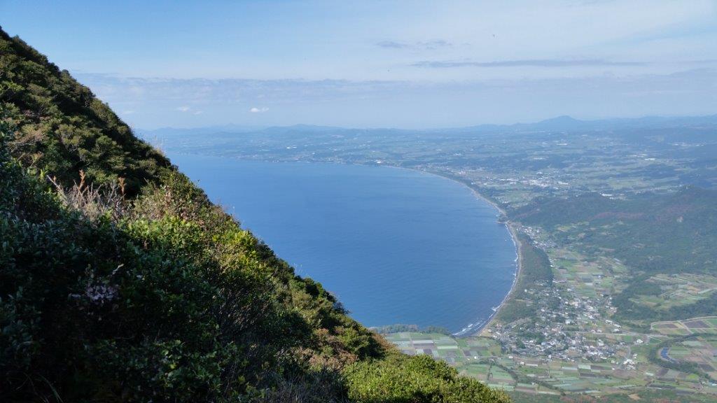
![Mt Ena (2191m), Nagano and Gifu Prefectures, October 2015 [Map Available]](https://hikingtokyo.com/wp-content/uploads/2023/07/20151005_121422-1.jpg?w=1024)


![Mt Tanigawa (1977m), Minakami Town, Gunma Prefecture,Tuesday, September 22, 2015 [Map Available]](https://hikingtokyo.com/wp-content/uploads/2022/06/20150922_151641.jpg?w=1024)


You must be logged in to post a comment.