

Hiking on the Boso Peninsula 房総半島
Hiking along the Kanto Fureai no Michi 関東ふれあいの道
Get a map of the Mt Takago hike
This map was developed for Japanwilds with the Hokkaido Cartographer
Find more Japan hiking maps on Avenza

View of Mt Takago from Mt Ishiitaro
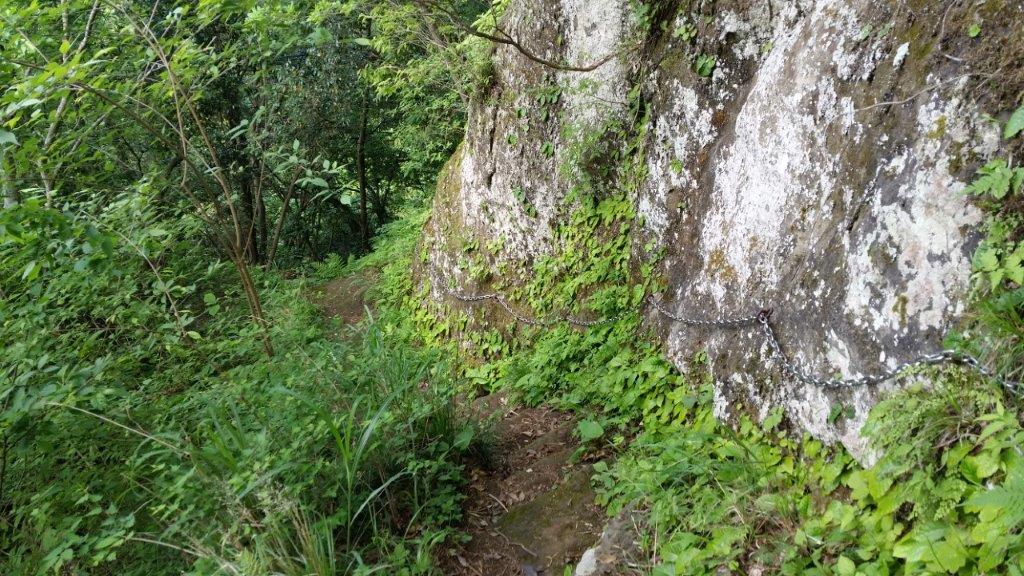
A hike on a hidden mountain in the middle of the Boso peninsula, I even had trouble finding it again on the map while writing this post. This time, I took a bus from Kisarazu station, then hiked along a small road, through a hamlet with many cats, and finally reached the start of the trail: log steps heading up the side of the hill. At the top, I admired the views of Mt Kano to the North, before continuing southwards. The views of central Chiba aren’t really all that amazing, but I find the sight of green rolling hills in all directions very impressive.

Rock Tunnel near the Takago Kannon
Walking the Hachirozuka Trail
It was a fairly easy hike with occasional views; the rocky top of Mt Takago (高宕山 たかごやま takagoyama), a Kanto 100 famous mountain, is the highest point in the area, with a sea of trees spreading in nearly every direction. At one point, hungry for more views, I extended the hike by doing a short there and back along a lonely ridge. After returning to the main trail, I made my way down, running and walking since it was getting late, and ended up at a bus stop in the middle of the countryside, not far from Lake Mishima, after a very satisfying seven-hour hike.

View from the Gunkai Ridge Trail


