
I was looking for some easy hiking near Tokyo, after a series of challenging hikes. I had already walked from Musashi-Ranzan to Takasaka station 10 years ago, almost to the day; back then, I followed the Hiki Hills Traverse Route (比企丘陵縦断コース). Searching online, I noticed that several trails went through the hilly, forested area on the Takasaka side, making it possible to do a loop hike that would also include a viewpoint of the Kanto mountains. Before the hike, I could also drop by the Peace Museum of Saitama and check out the 360° view from its observatory.
Hiking in the Hiki Hills 比企丘陵
To get to the start of the hike, I’d ride the Tobu Tojo express train from Ikebukuro to Takasaka station, and from there, ride a bus for a short while to a stop near the museum; since it wasn’t a long hike I could leave in the mid-morning. For the return, I’d catch the same bus back, a couple of stops up the line. The weather was supposed to be sunny in the morning, turning cloudy in the afternoon; temperatures were expected to be warm for the season. I was looking forward to a short, relaxing hike at the edge of the Kanto Plain.
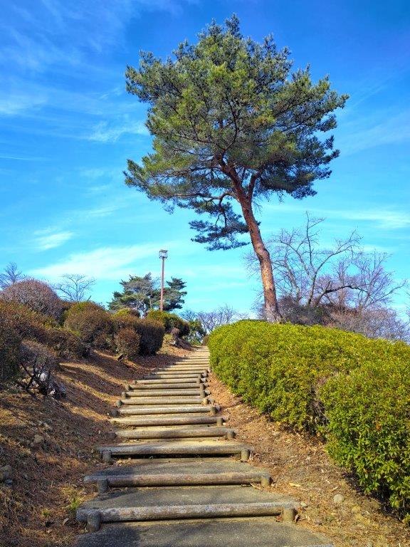
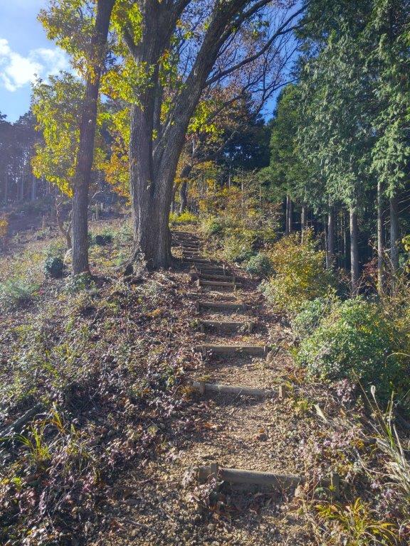
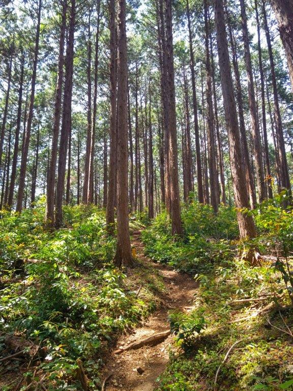
Steps for Mt Monomi (left) Walking in Ishizaka Forest (right)
Path for Shoboji Temple (left) Steps for Iwadono Kannon Sando (right)
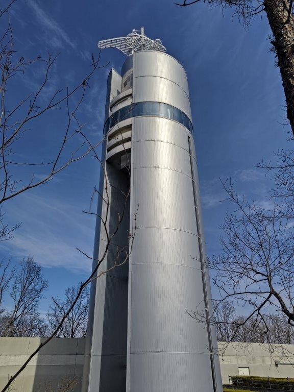
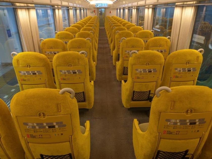
The sun was still shining as I rode the late morning express train through the Saitama suburbs. I was lucky to catch one of the few trains with forward facing seats. At Takasaka station, I made the quick transfer to the city bus, and a little after noon, I got off at a stop a few meters from “Heiwashiryokan Iriguchi” (平和資料館), “The Peace Museum Entrance”. It was a 5-minute walk up a gently sloping road to the Peace Museum of Saitama, located inside Monomiyama Park (物見山公園). After checking out the small museum with its Showa era dioramas, I rode the elevator up the 147.5m tall silver observatory tower, higher than today’s planned hike.
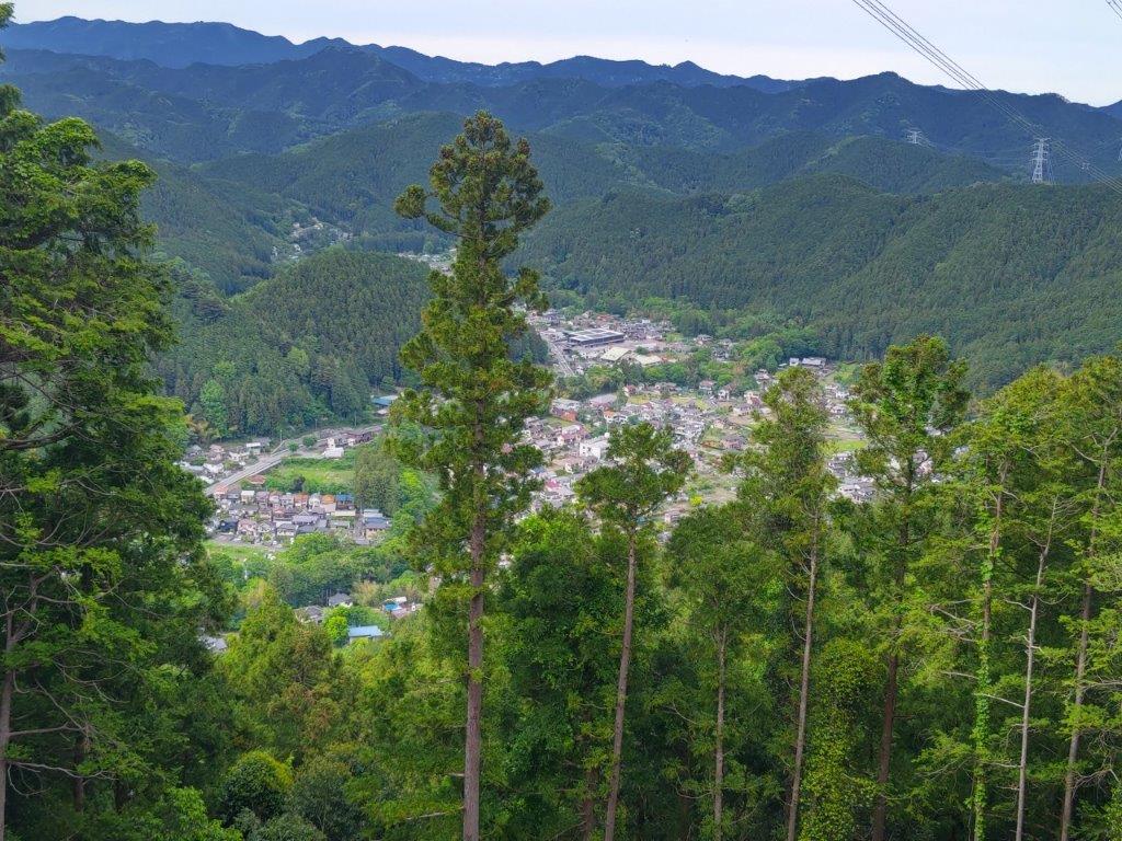
View of Oku-Musashi from the Peace Museum Observatory
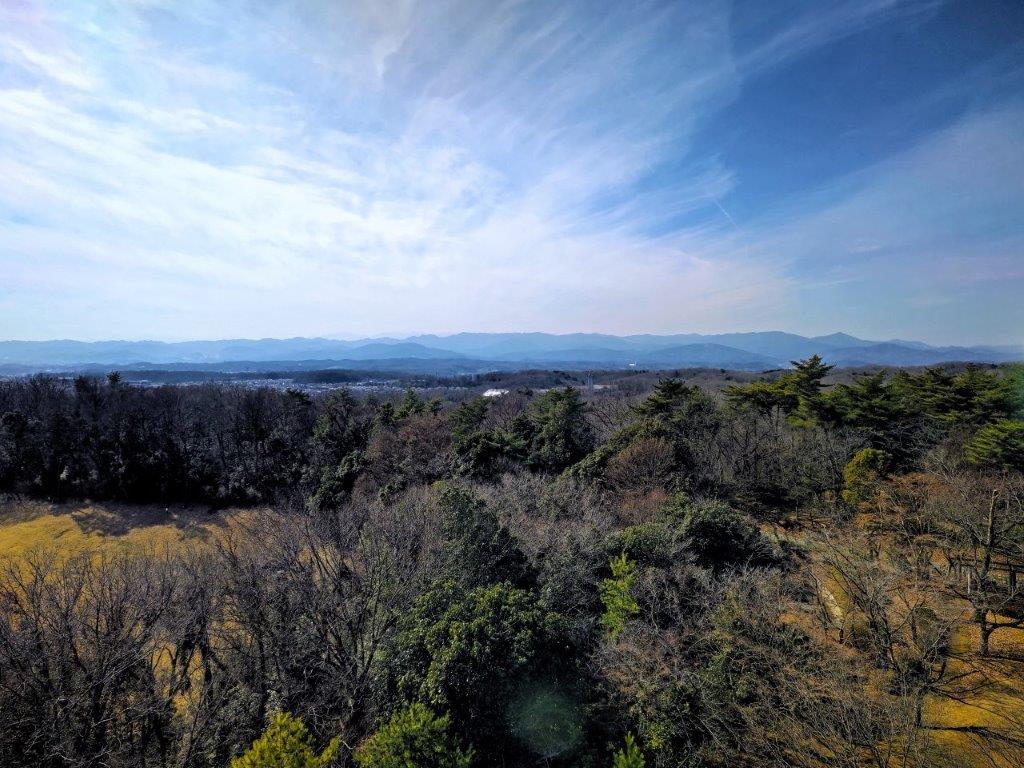
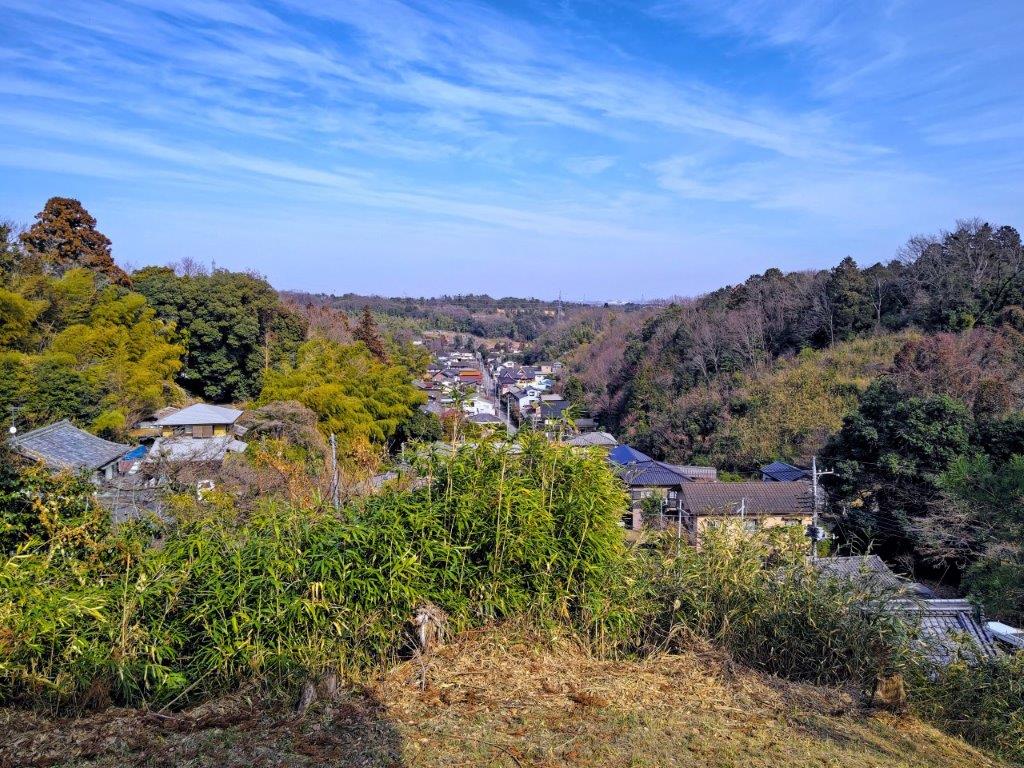
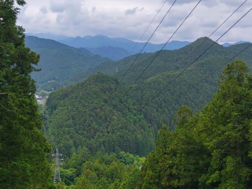
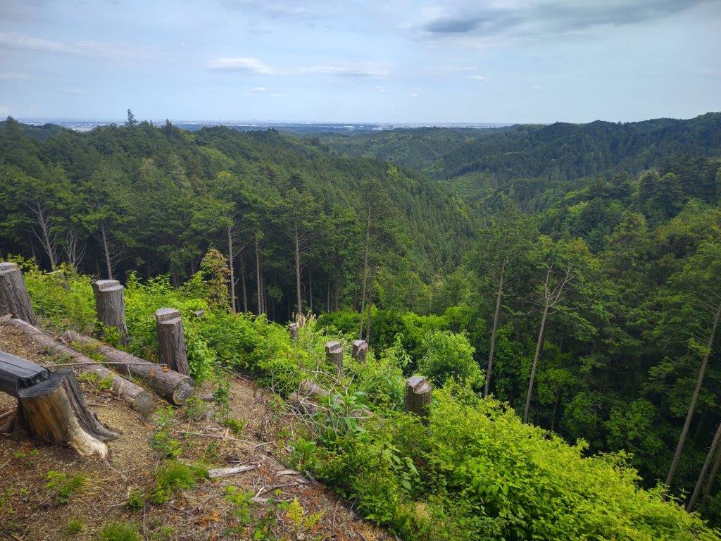
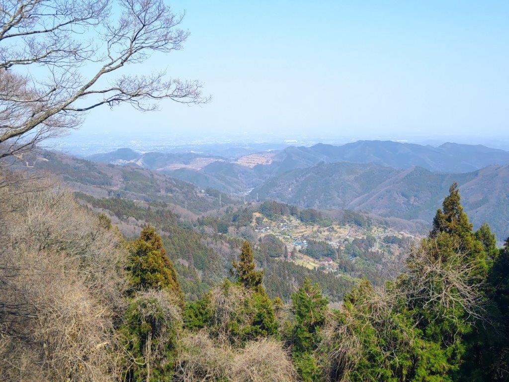
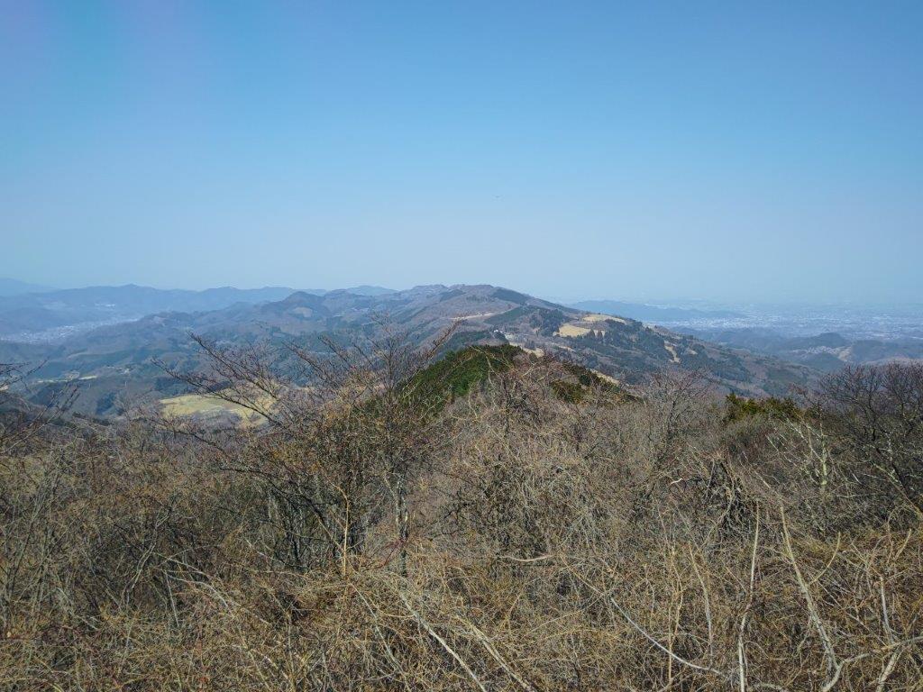
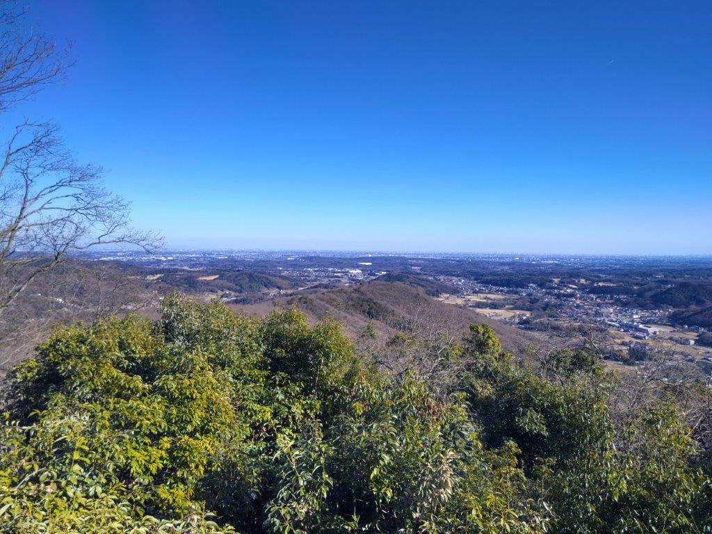
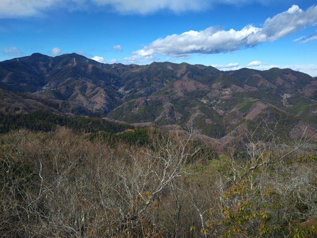
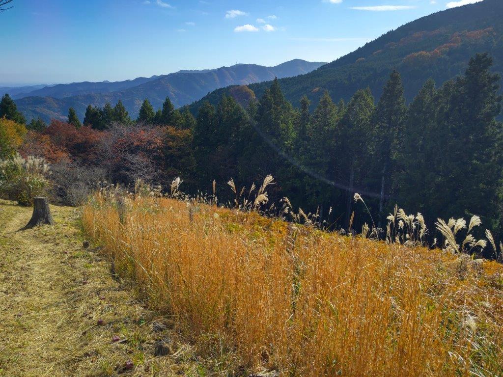
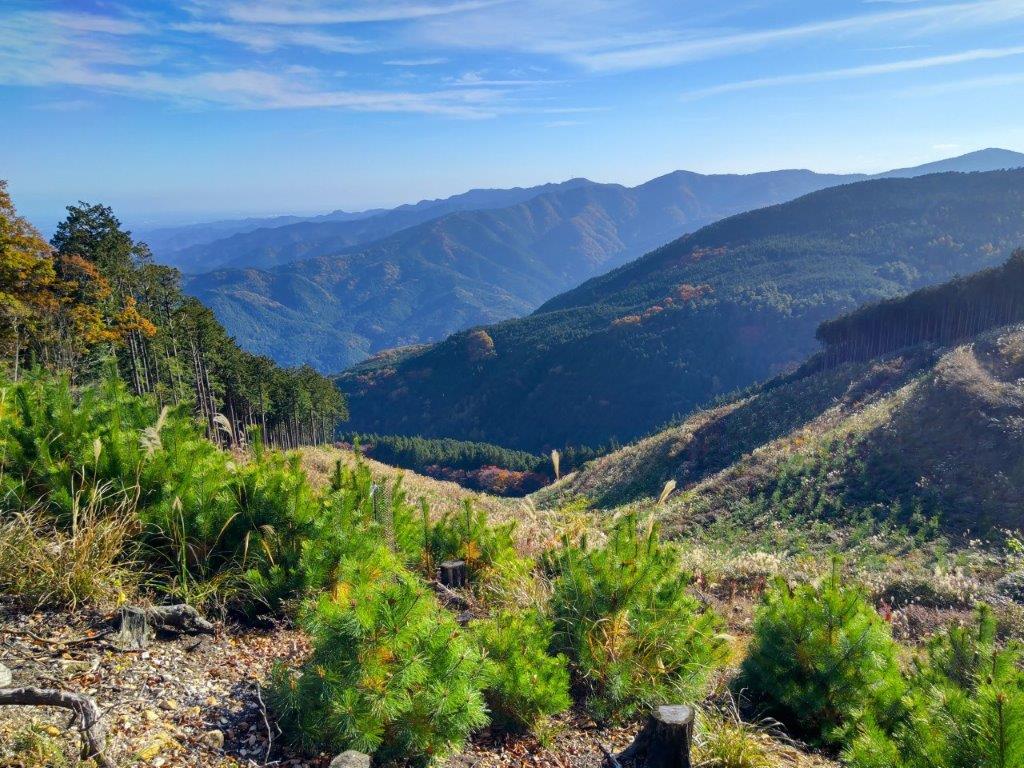
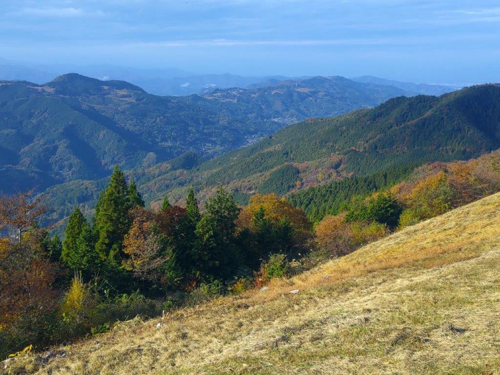
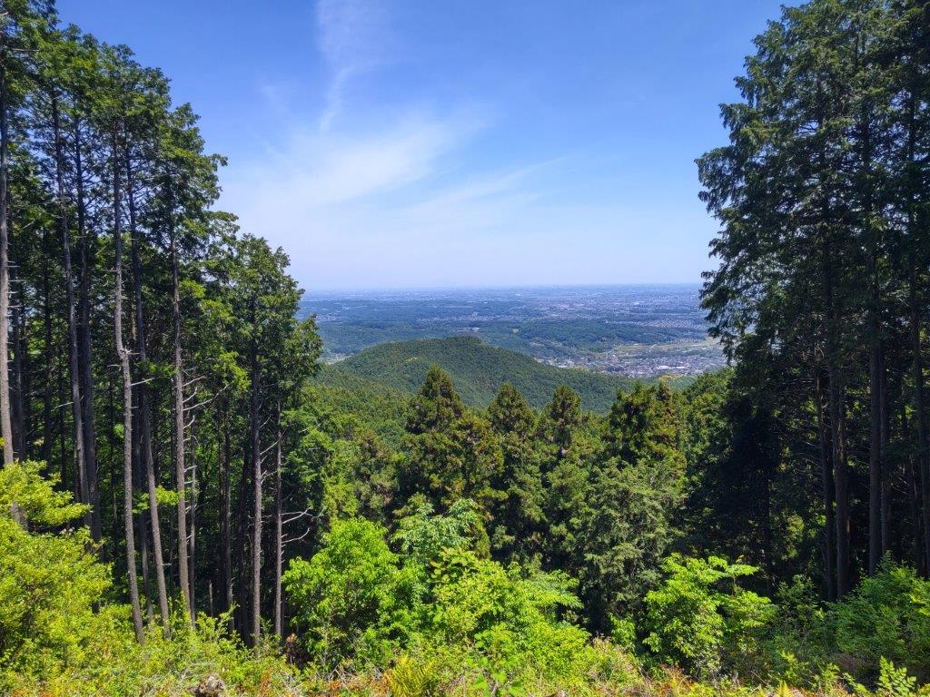
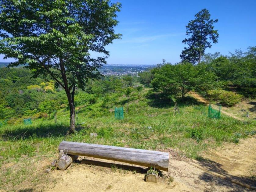
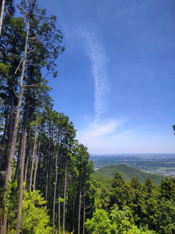
View of the Kanto Plain from Mt Monomi
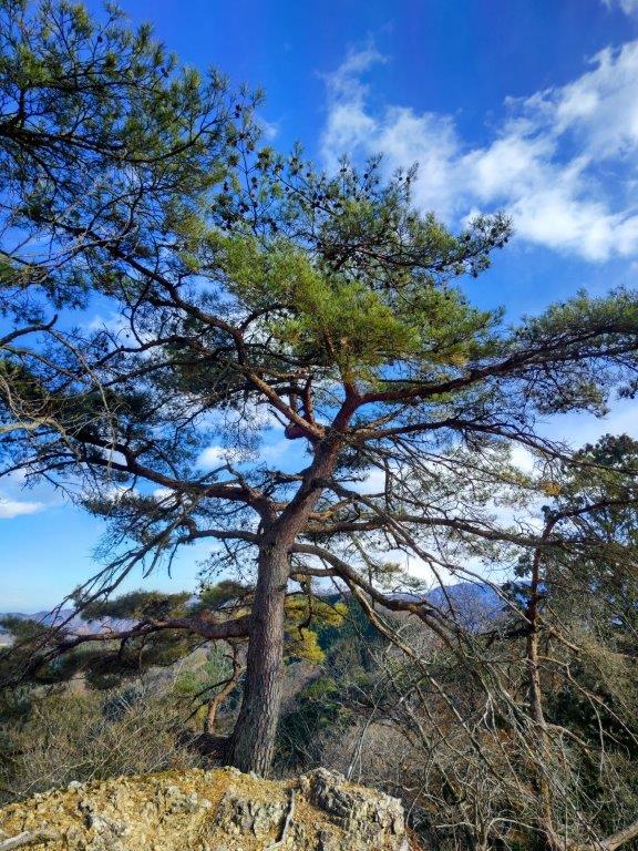
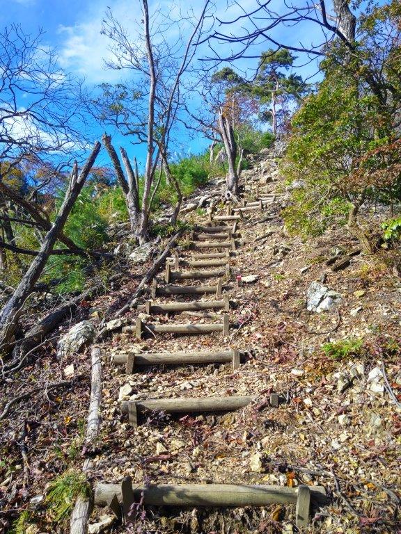
I was excited to get a wide, unobstructed view of the Kanto mountains, no other tall buildings blocking the view. The midday haze had already set in and I had to rely on the detailed panels to help me identify the various peaks; only the pyramid-shaped Mt Buko was easily recognisable. Apparently Mt Fuji and the mountains of Nikko can also be seen when the conditions are right. After exiting the museum, I made my way through the park, along a paved path and up log steps to a flat open space, the top of Mt Monomi (物見山 ものみやま monomiyama), for the second time. Although it’s the highest mountain in the Hiki Hills, a summit marker was nowhere to be found.
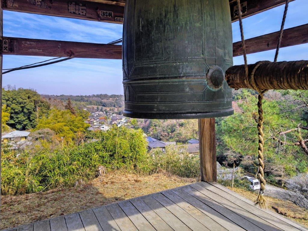
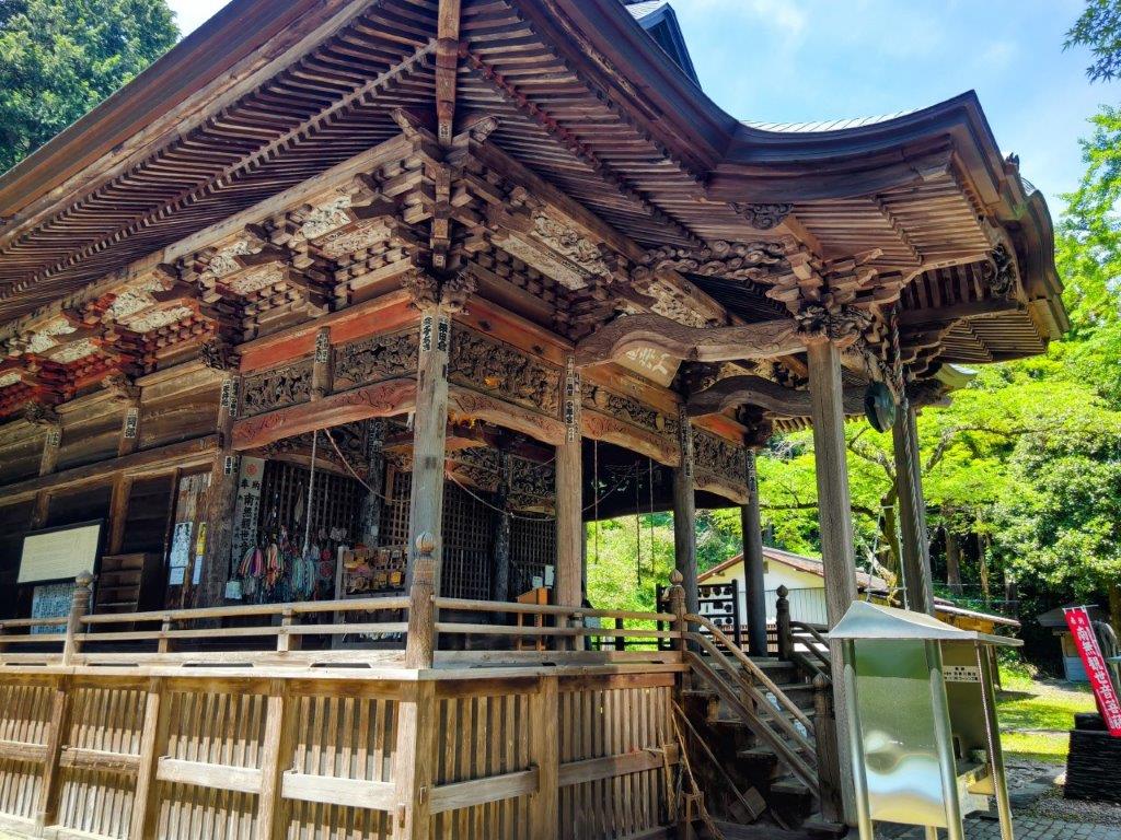
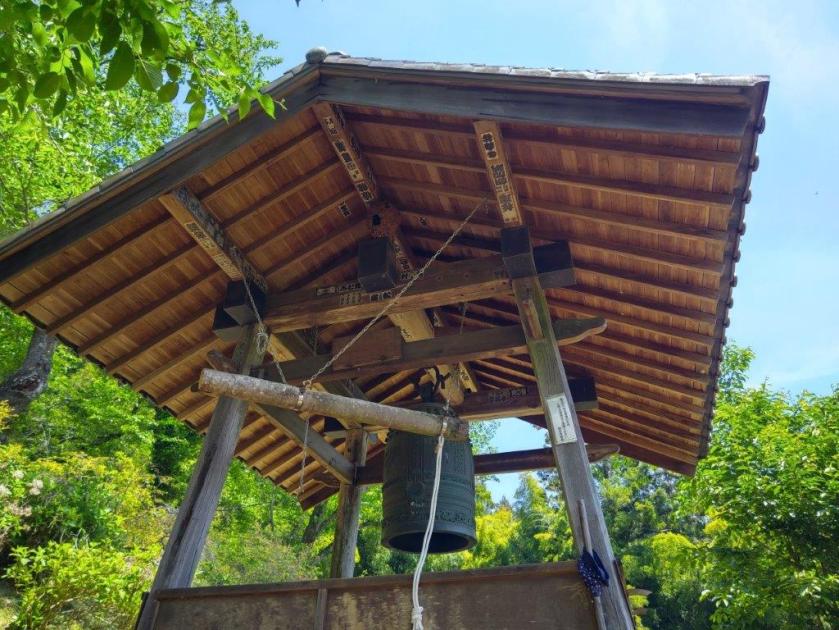
Bell Tower at Shoboji
View of Iwadono Kannon Sando from Shoboji
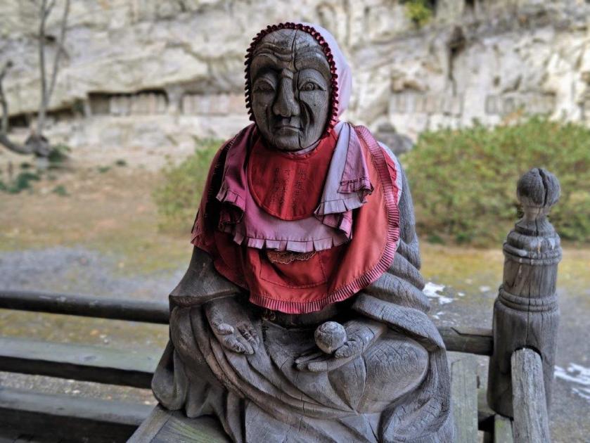
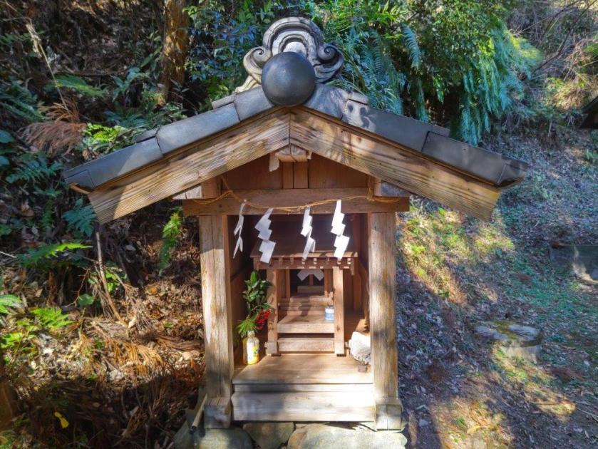
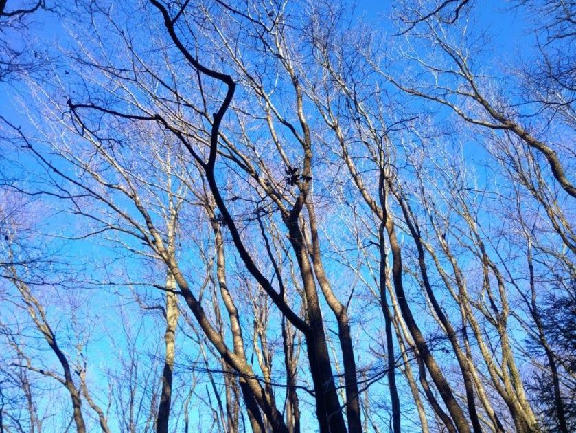
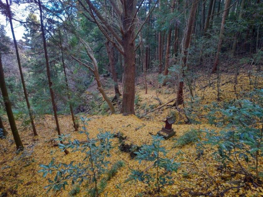
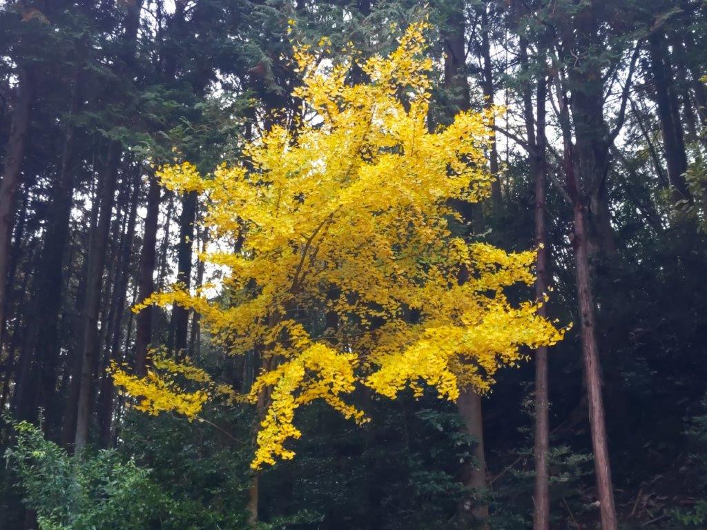
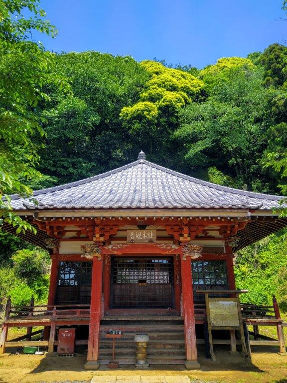
After checking out the view of the Kanto Plain to the east, I headed down the north side and crossed a road, leaving the park behind. I had reached a large parking lot at the edge of the forest. However, before immersing myself in nature, I made my way to the nearby Shoboji Temple (正法寺), also known as Iwadono Kannon (巌殿観音). It was on my return route but I wanted to see it in the sun; thin high-altitude clouds had appeared, announcing an imminent change in weather. At the base of a steep log staircase, I came upon a giant Ginko, completely bare of leaves in this season but certainly an impressive sight in the Autumn.
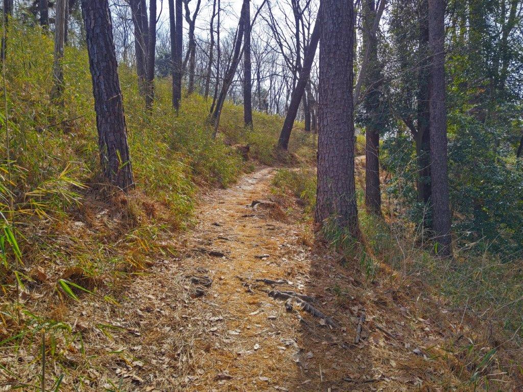
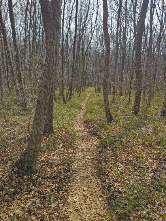
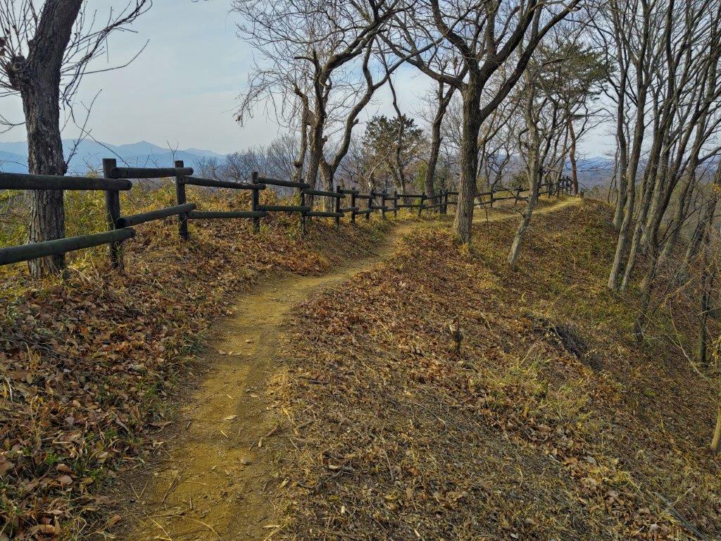
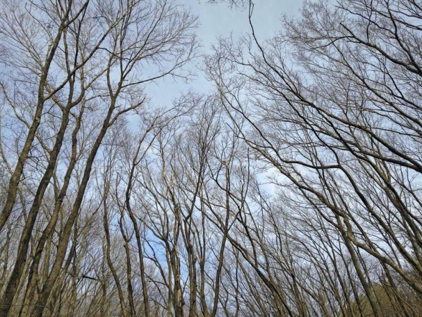
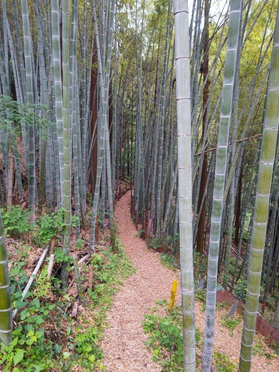
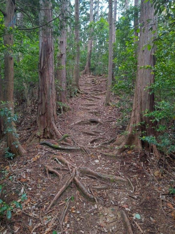
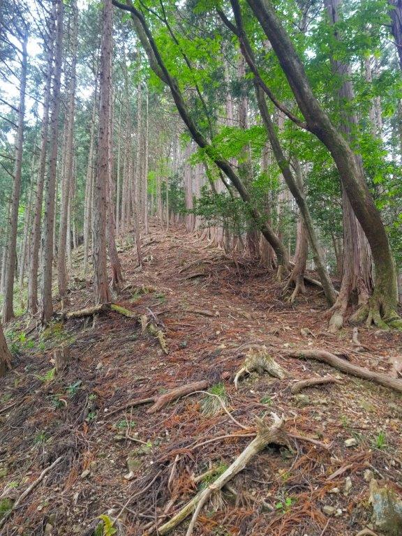
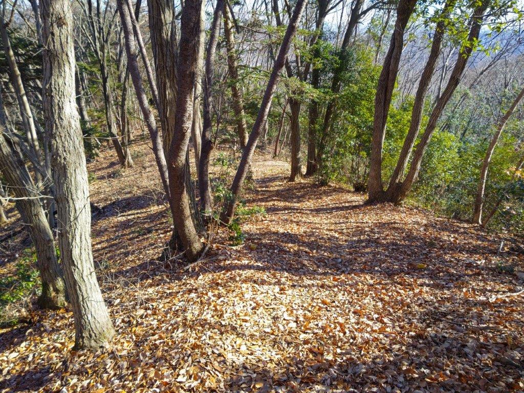
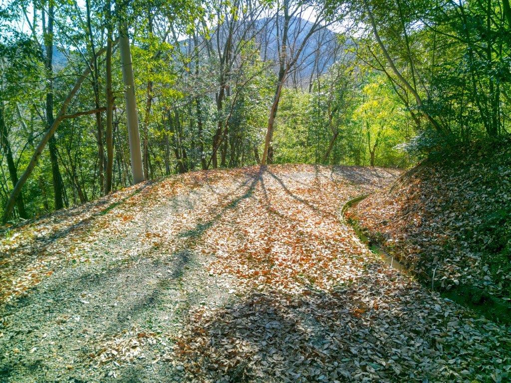
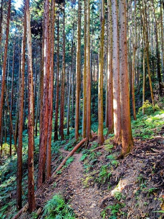
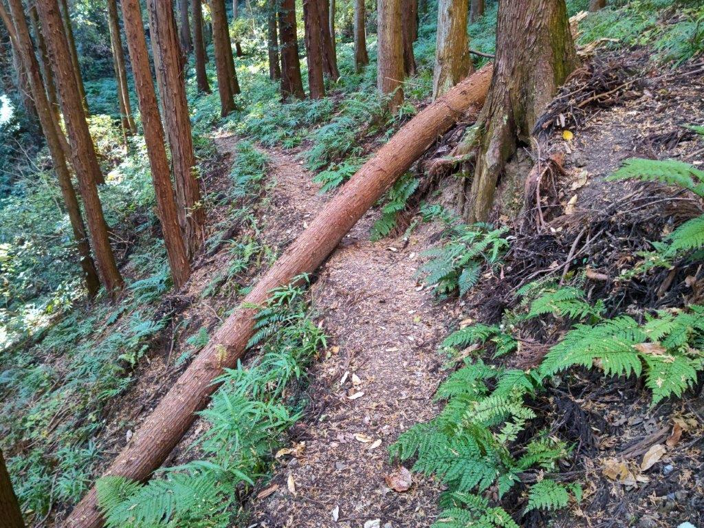
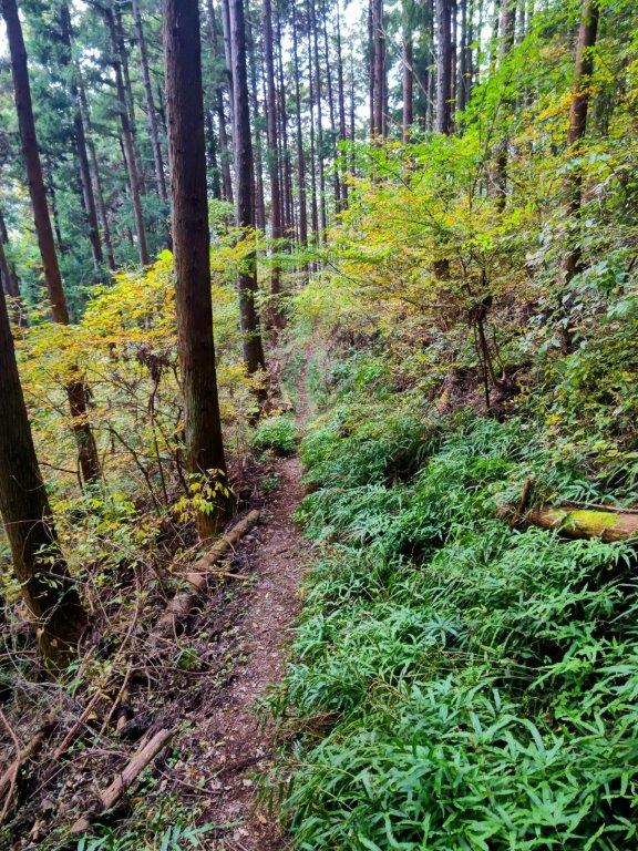
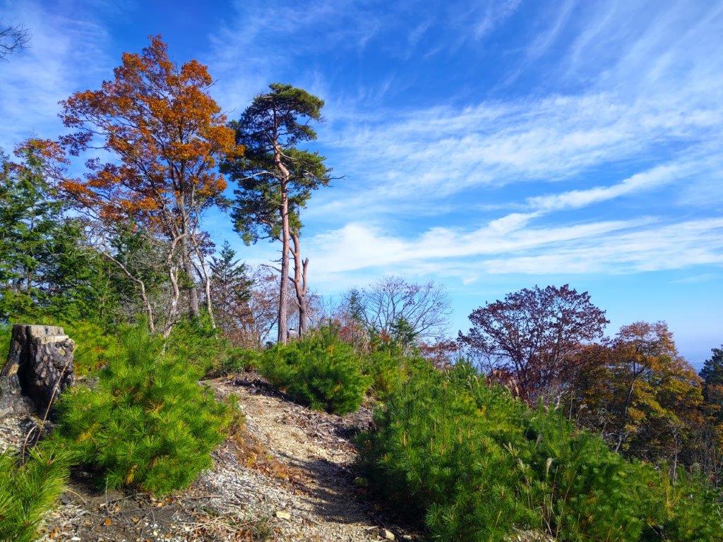
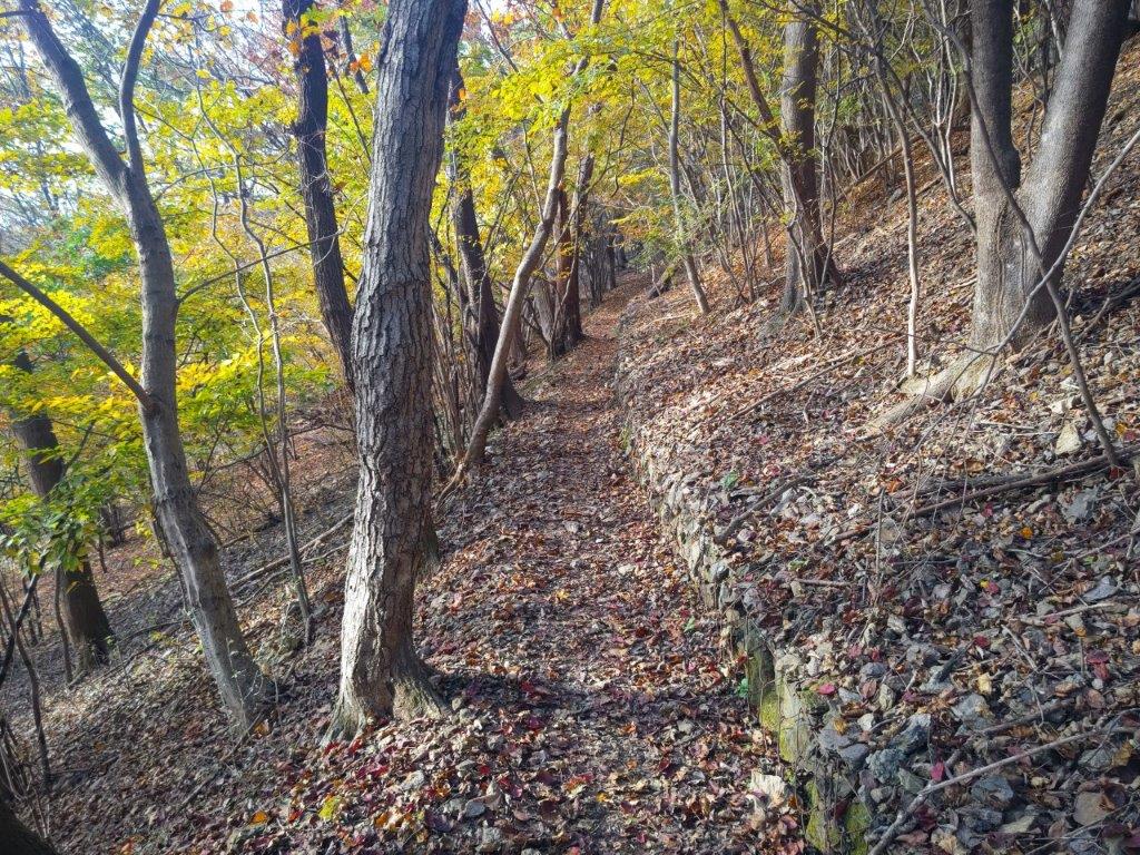
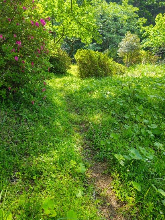
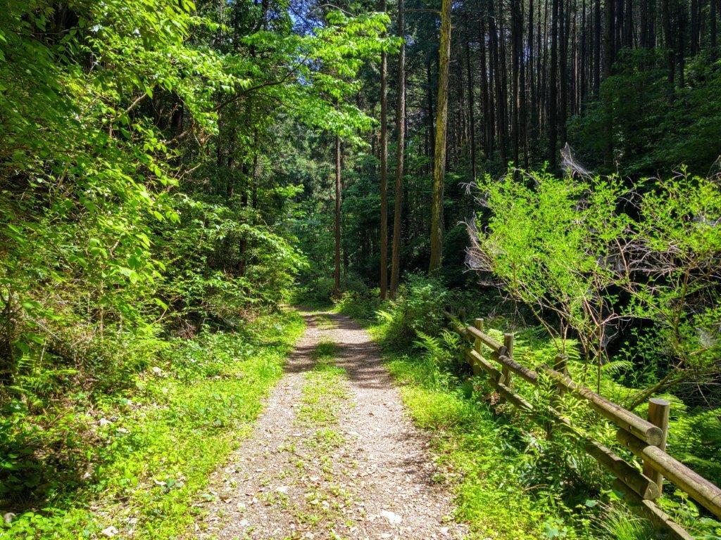
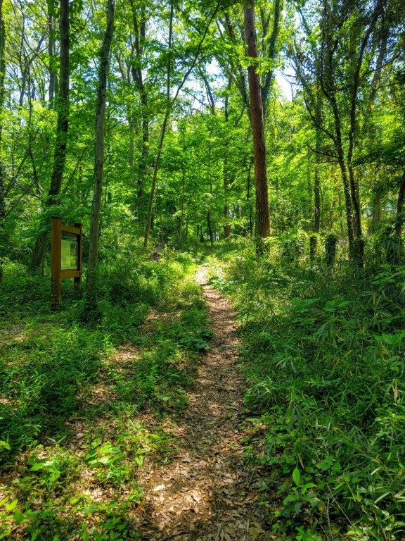
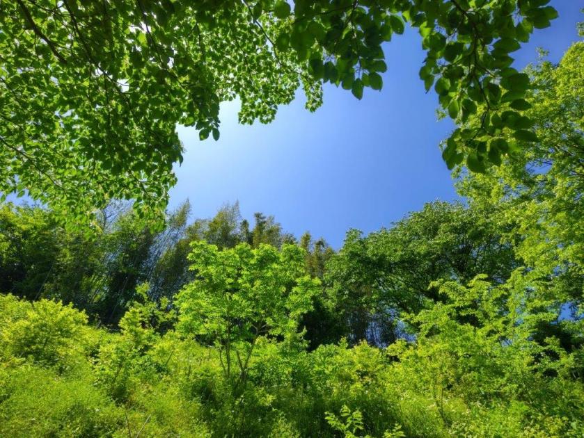
Entering Ishizaka Forest
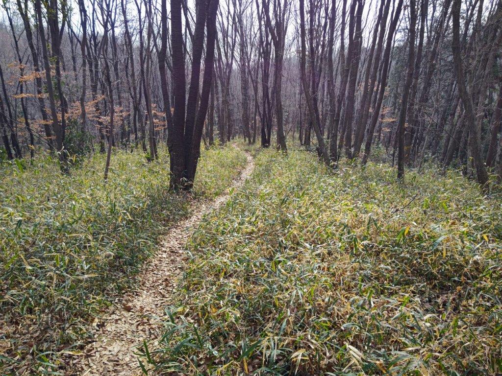
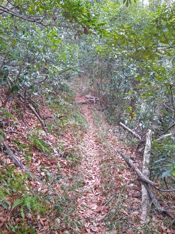
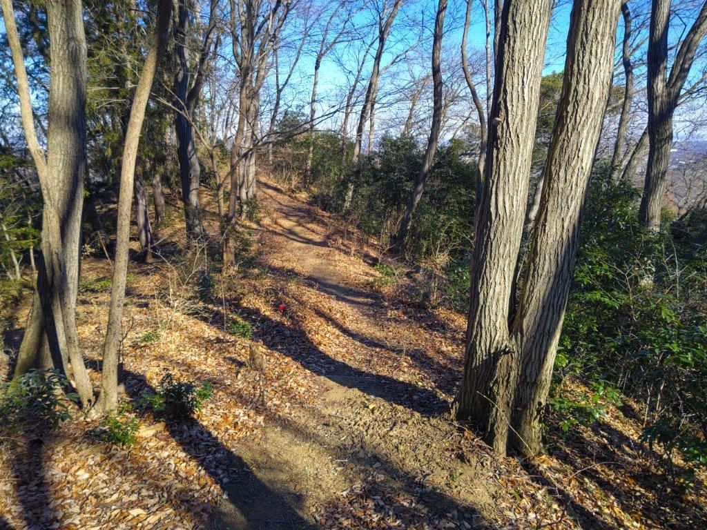
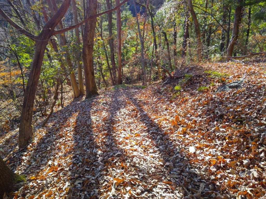
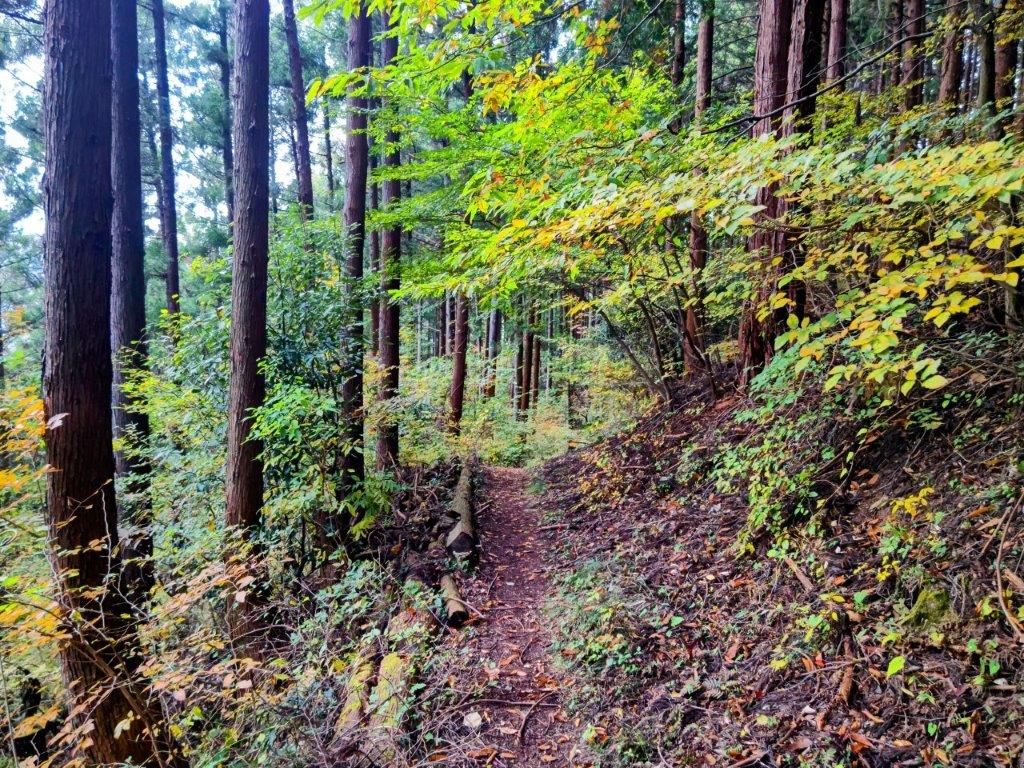
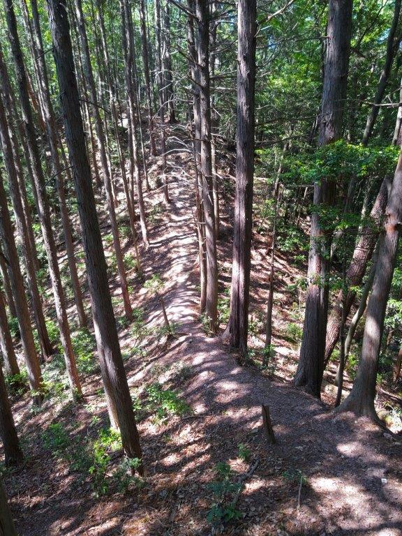
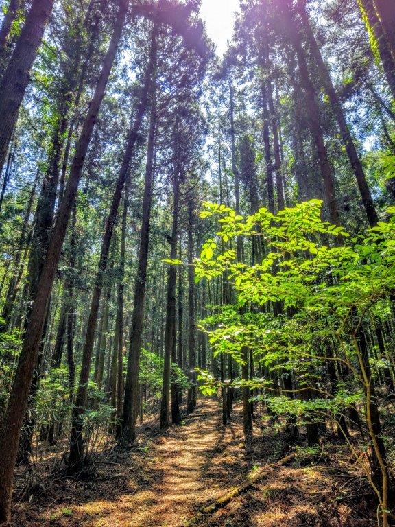
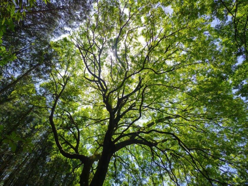
Walking the East Ridge Route
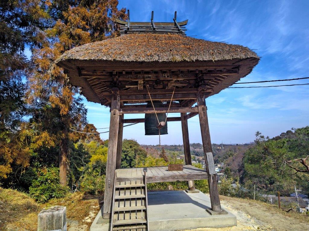
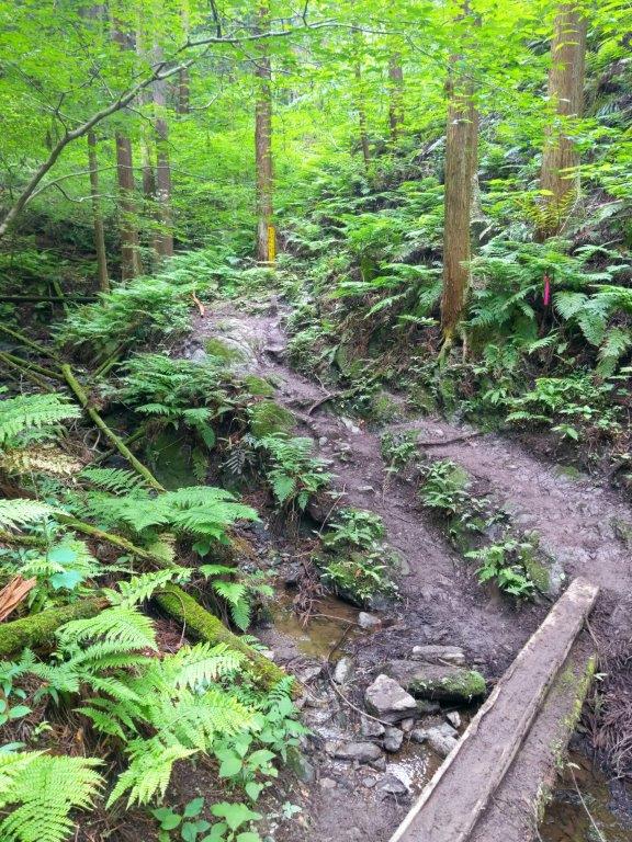
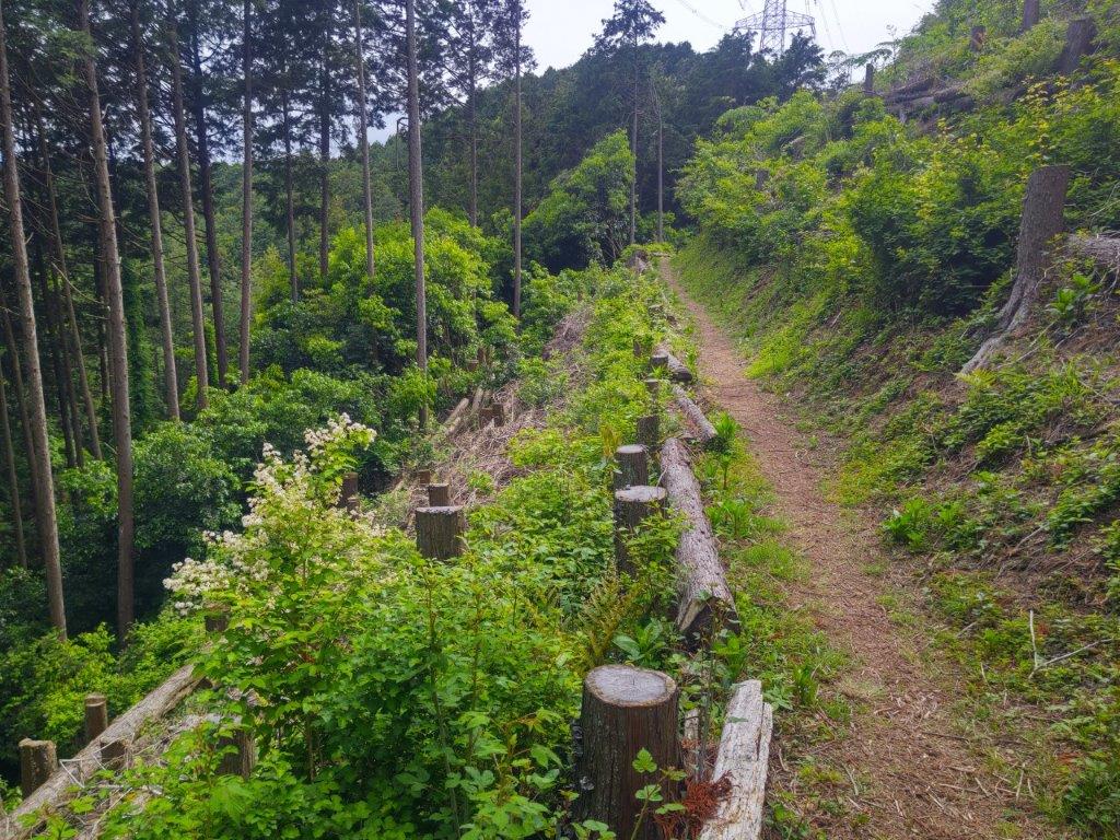
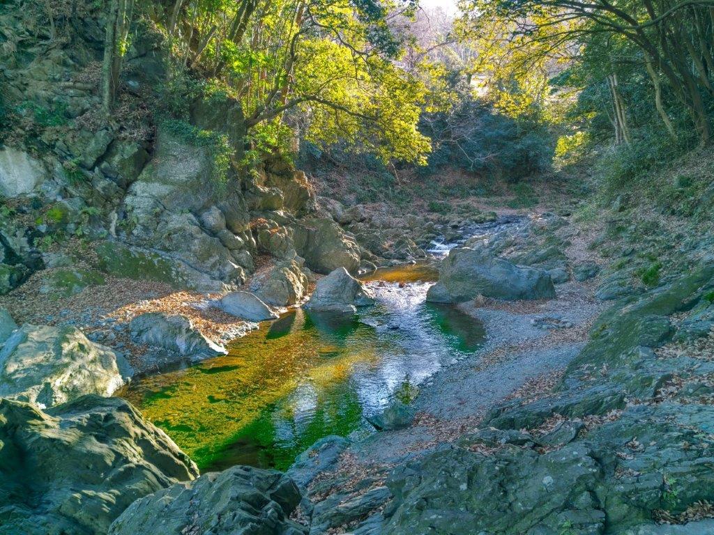
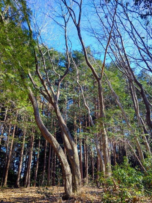
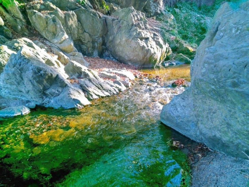
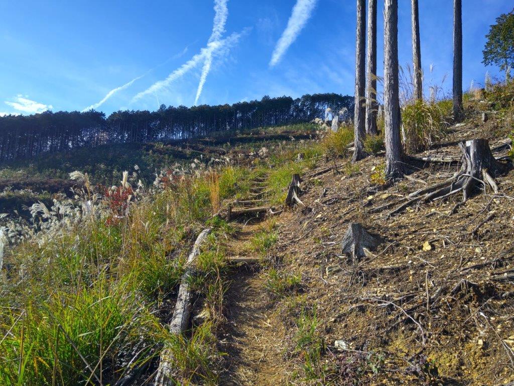
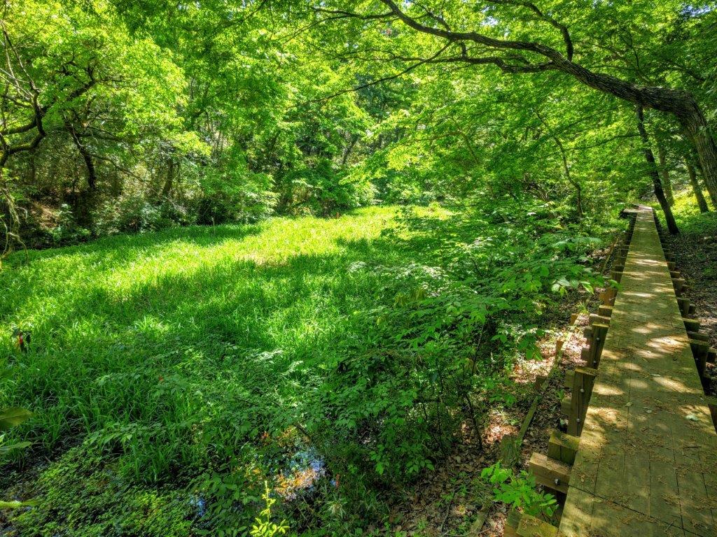
My attention was soon caught by a bell tower with a thatch roof, perched at the top of a steep incline with a valley view in the background. After ringing the bell, I admired the view of the “sando“, a main roading leading to the entrance of a temple, running all the way to the base of the hills. I retraced my steps to the parking and followed a sunlit trail through tall pines into Ishizaka Forest (石坂の森). I turned left at a junction onto the East Ridge Route (東の尾根道), heading south along a delightful descending trail; after crossing a stream over a log bridge, I arrived at another parking area. Here, I made a sharp right onto a rougher, climbing path, the Center Ridge route (中央の尾根道), heading back in the opposite direction.
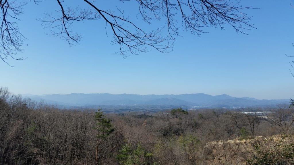
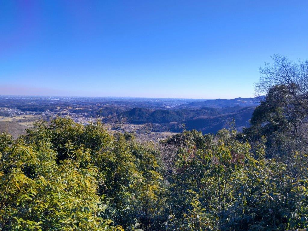
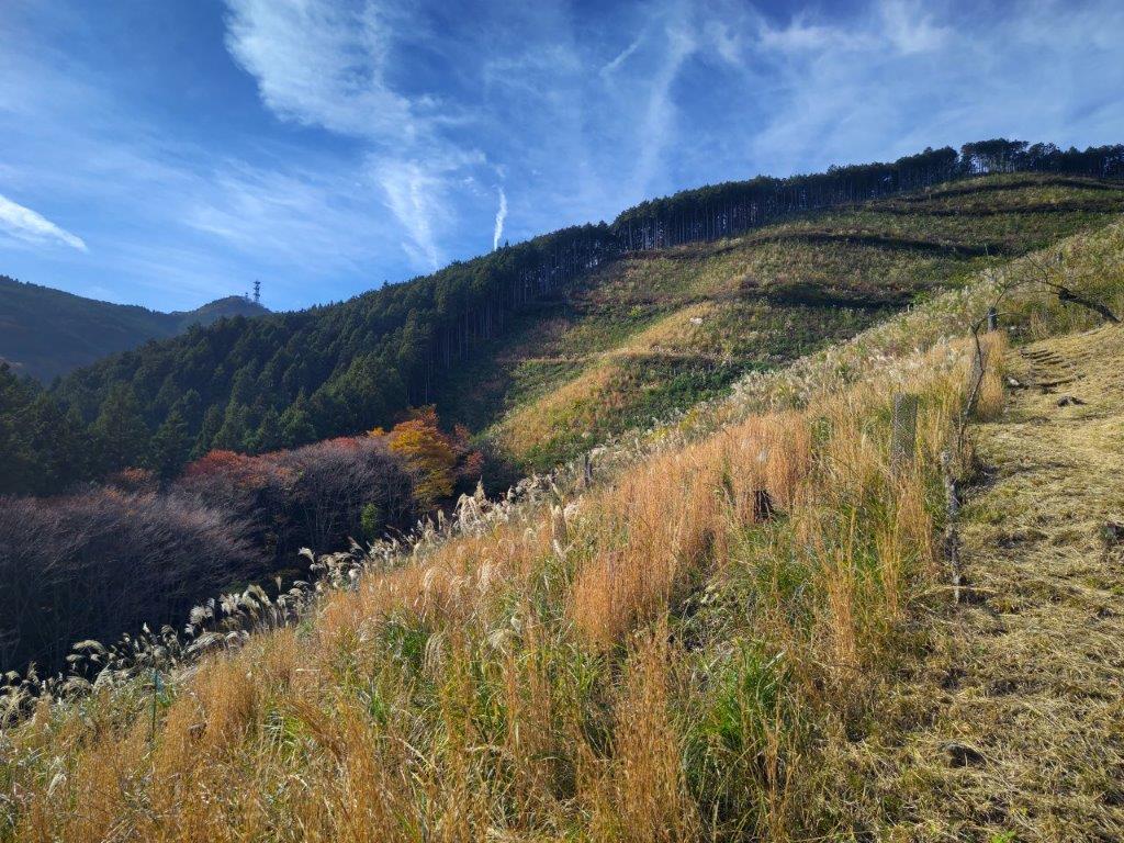
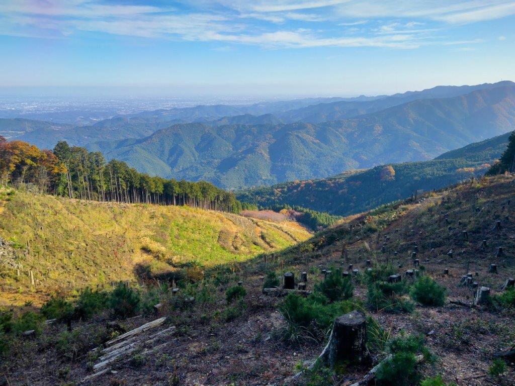
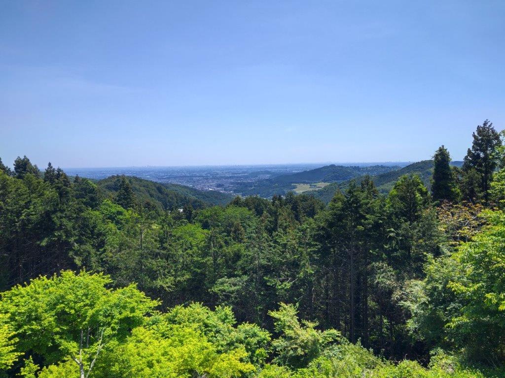
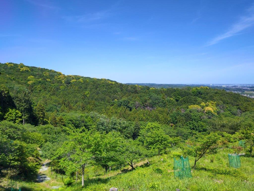
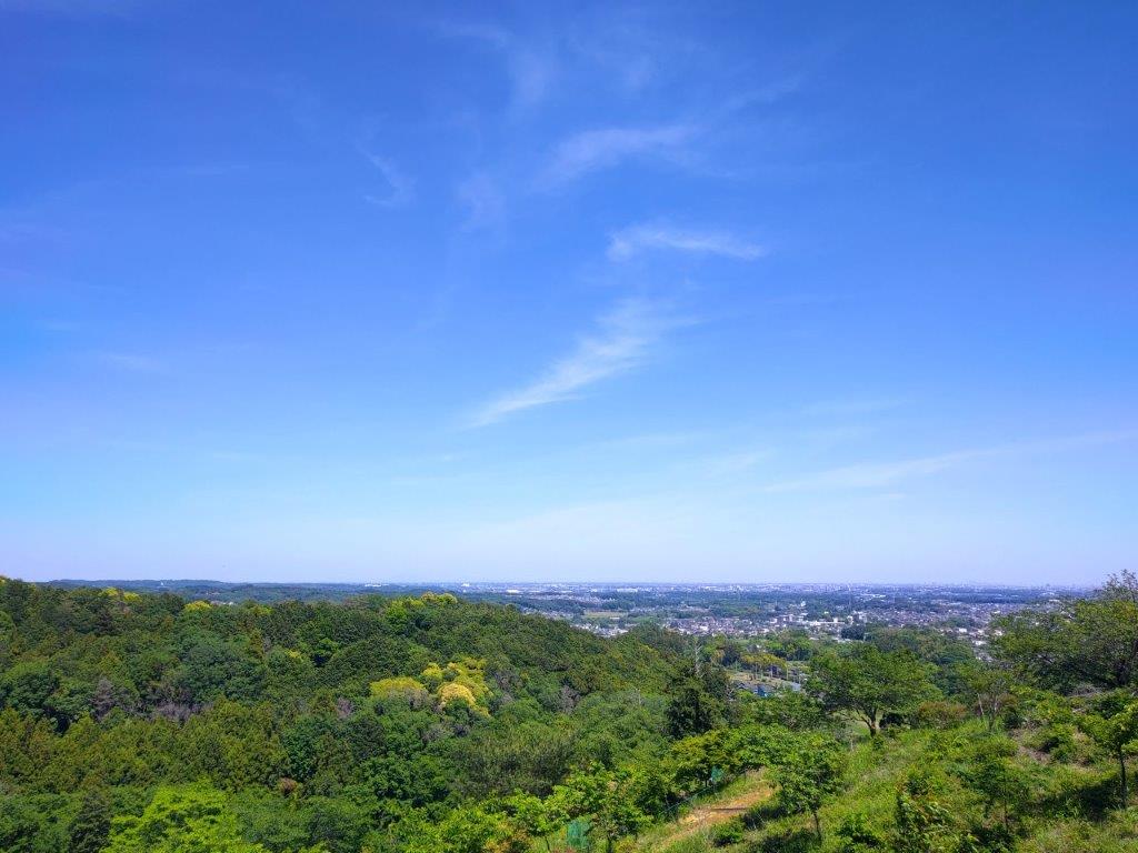
View of the Kanto Plain from Miharashi no Oka
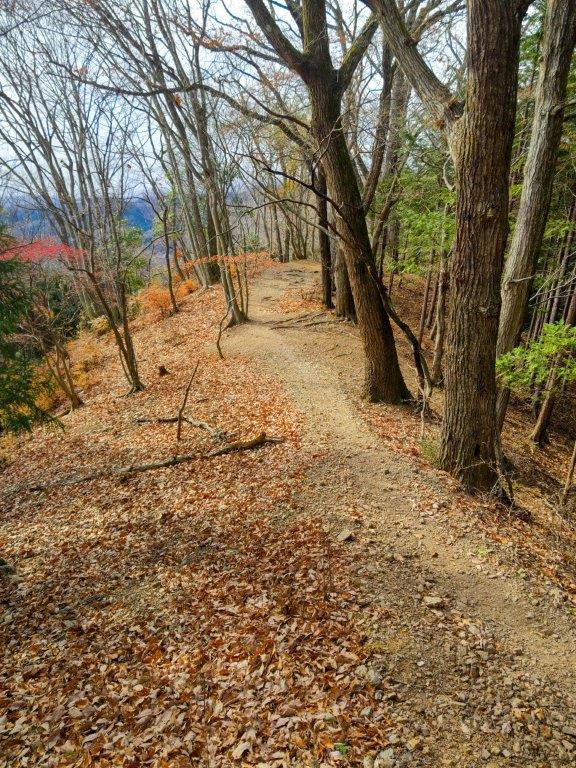
Path leading away from Miharashi no Oka
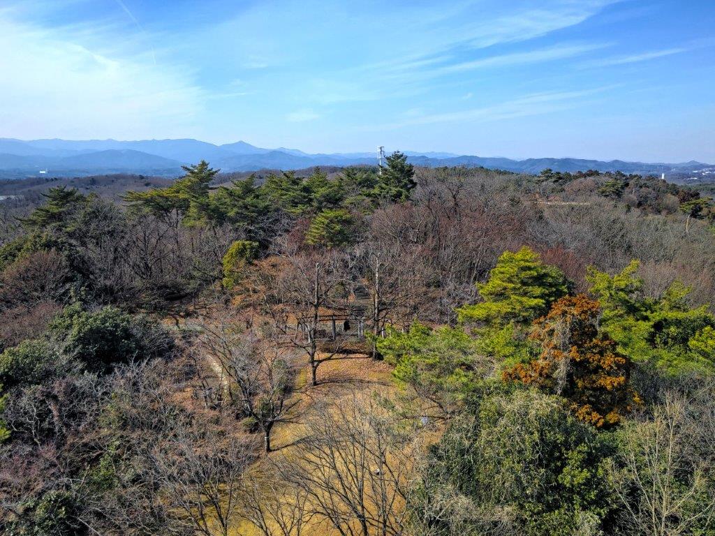
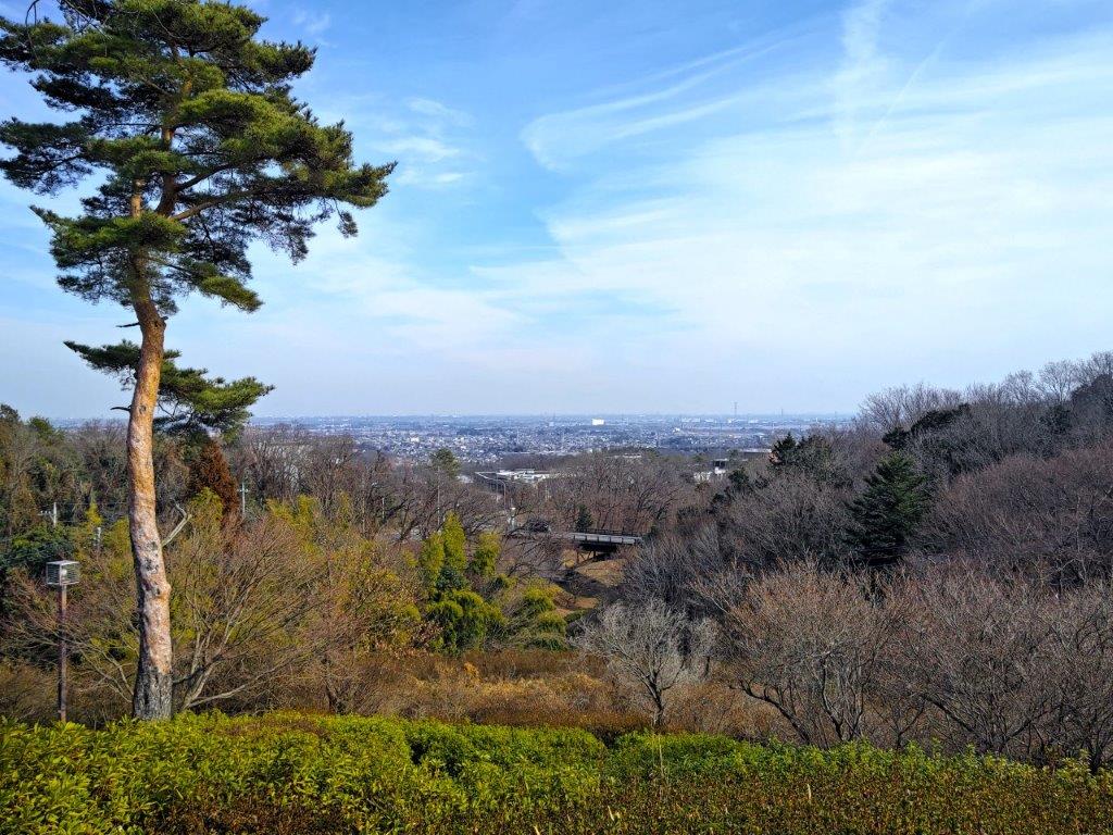
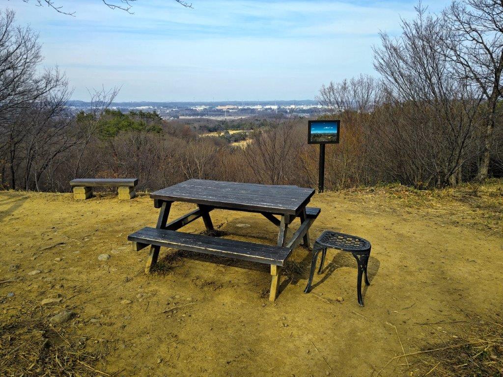
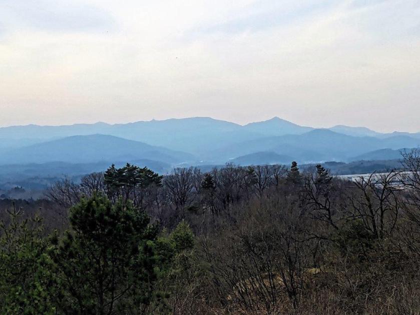
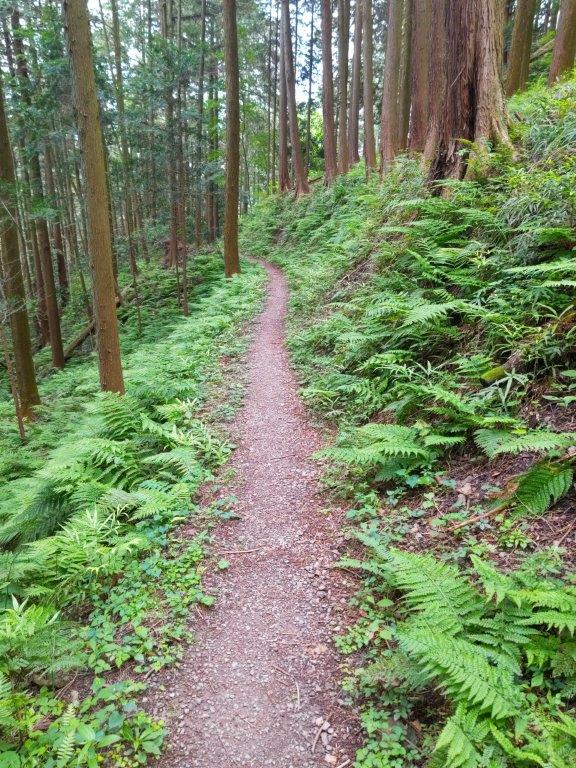
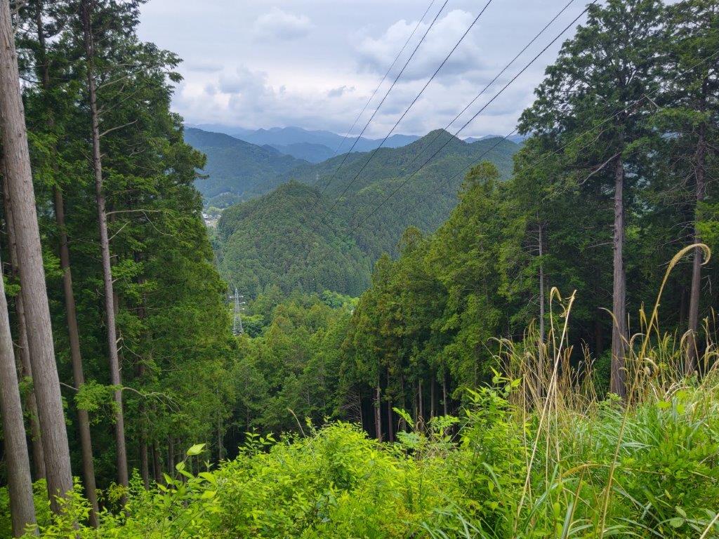
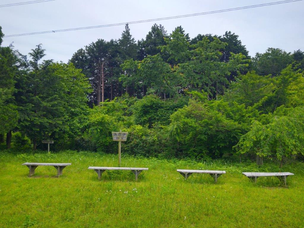
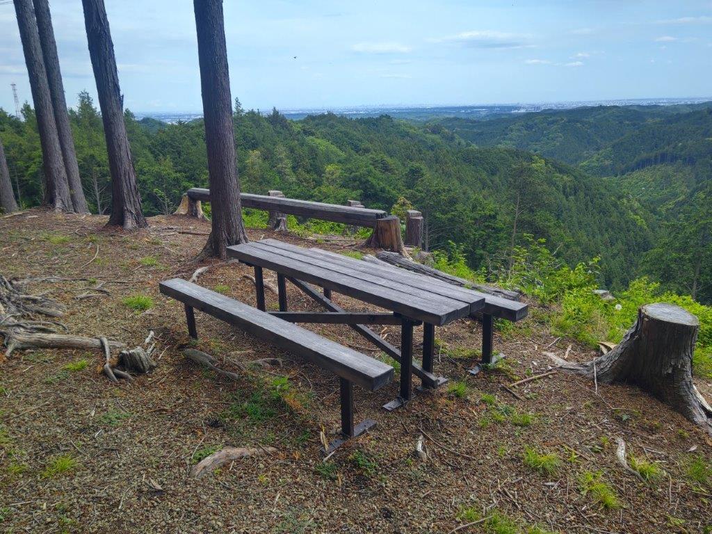
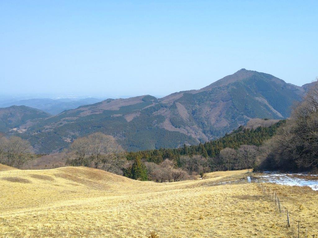
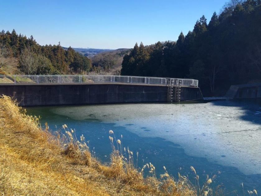
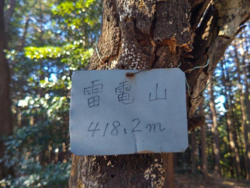
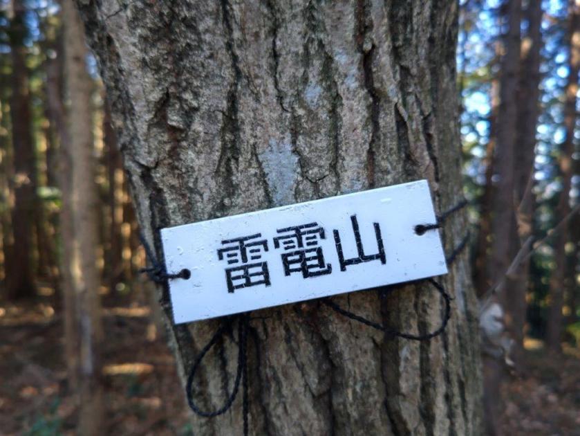
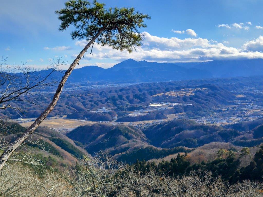
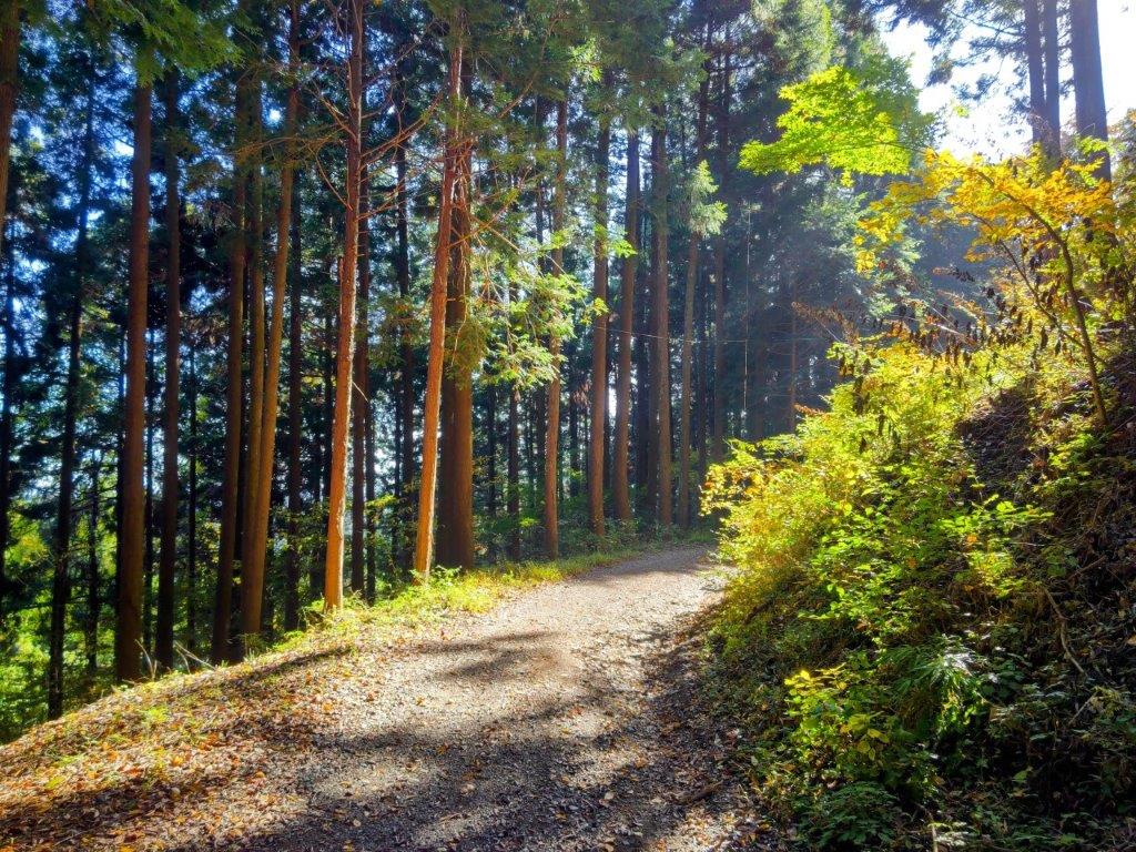
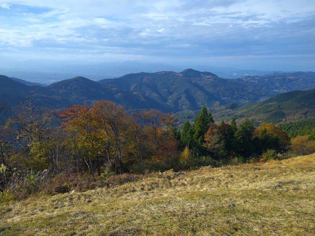
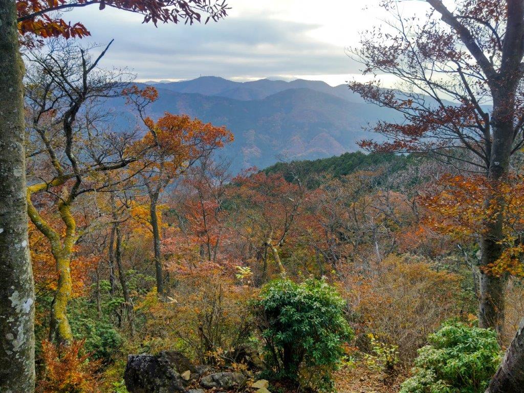
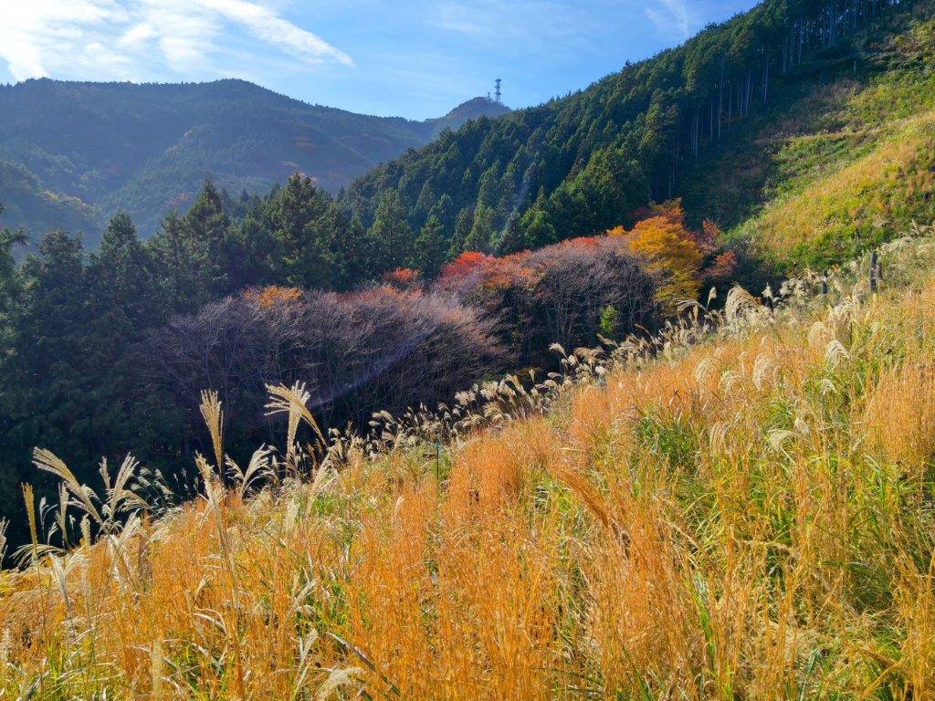
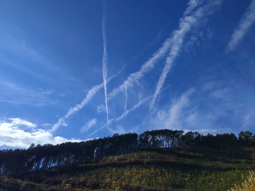
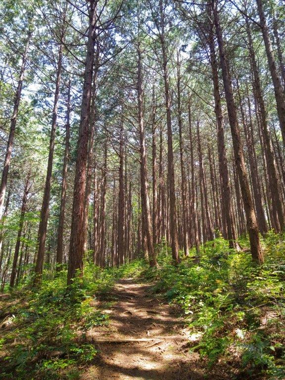
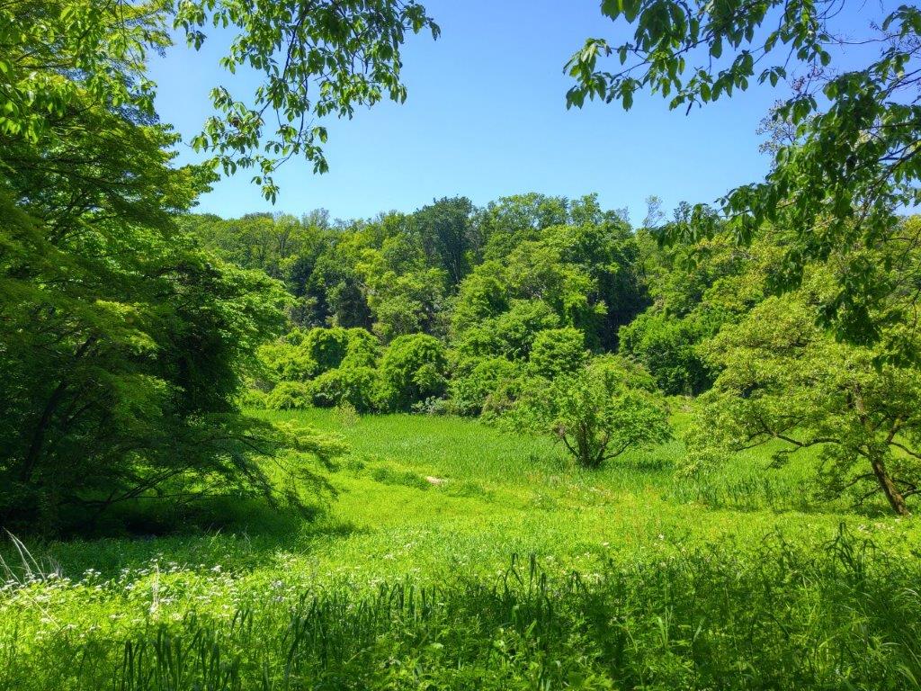
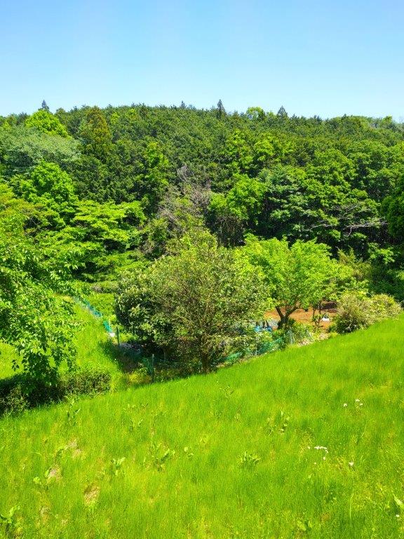
The path soon leveled and I found myself walking along a ridgeline through mixed forest, mainly consisting of “Konara” and “Kunugi” oaks. After passing the highest point of today’s hike (139m), I reached Miharashi no Oka (見晴らしの丘), an open space with a view on two sides. On the west side, I could see the outline of the Oku-Chichibu Mountains. High-altitude clouds now covered the entire sky, making it hard to make out the fine details, but I could still distinguish the rounded shape of Mt Raiden in the foreground. To the east, I had another view of the featureless Kanto Plain. Since it was 2pm, I sat at a picnic table for a late lunch.
Okuchihibu Mountains from Miharashi no Oka (Photo from Feb 2016)
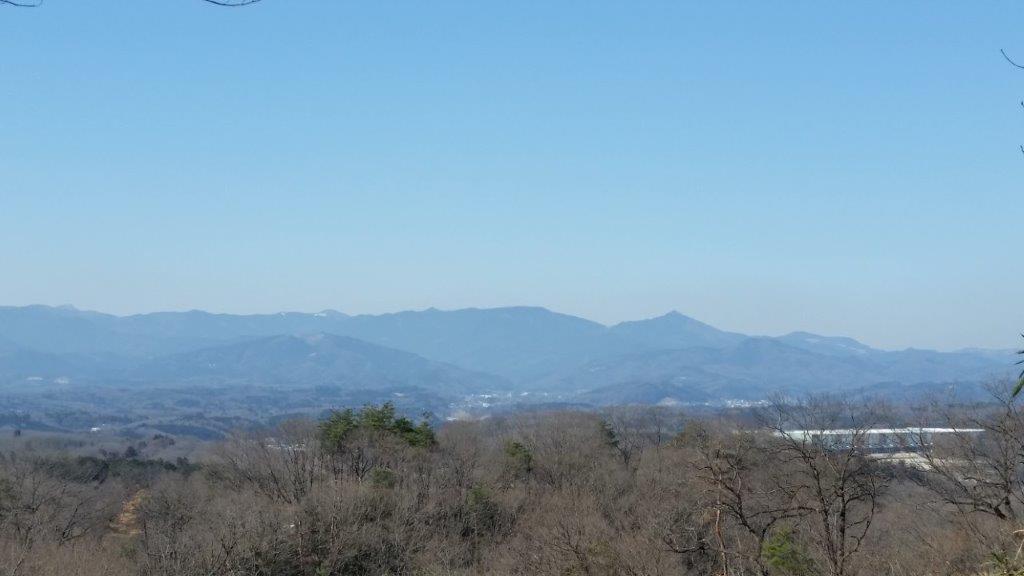
Mt Yumidate (front left), Mt Buko (right back) & Mt Raiden (right front)
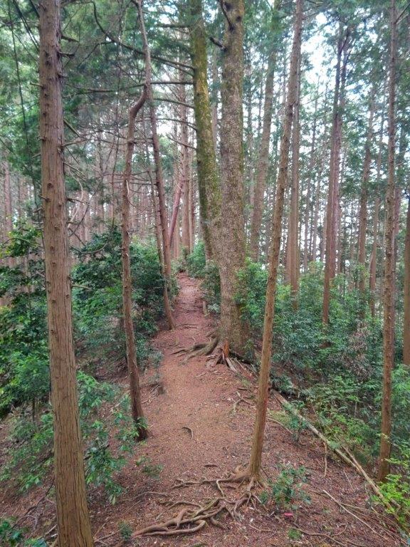
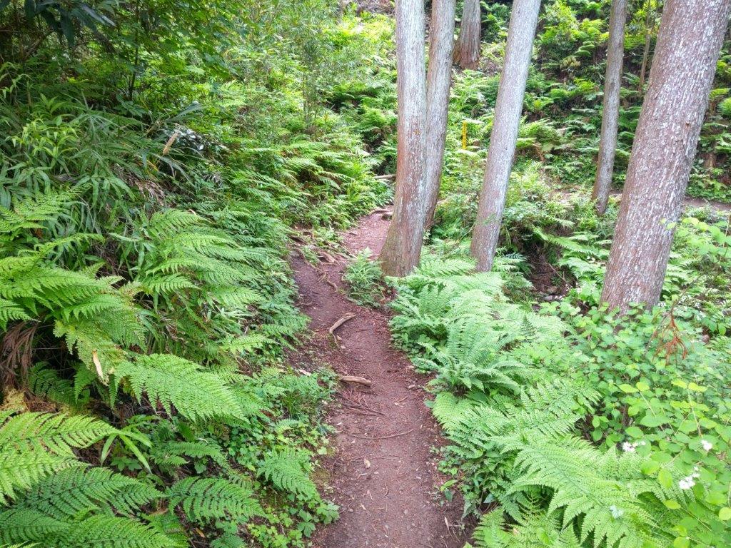
I reflected on how 10 years ago, I had had a much better view on a clearer day. Once finished, I descended a short switchback trail, crossed a road, and headed down a path to Miharashi dai (見晴し台), a slightly less impressive viewpoint on the north side. I then made my way back to the road which I followed for a short while before turning left onto a wide track leading into Shimin no Mori (市民の森). The path was level at first but then descended steeply into a forested valley.
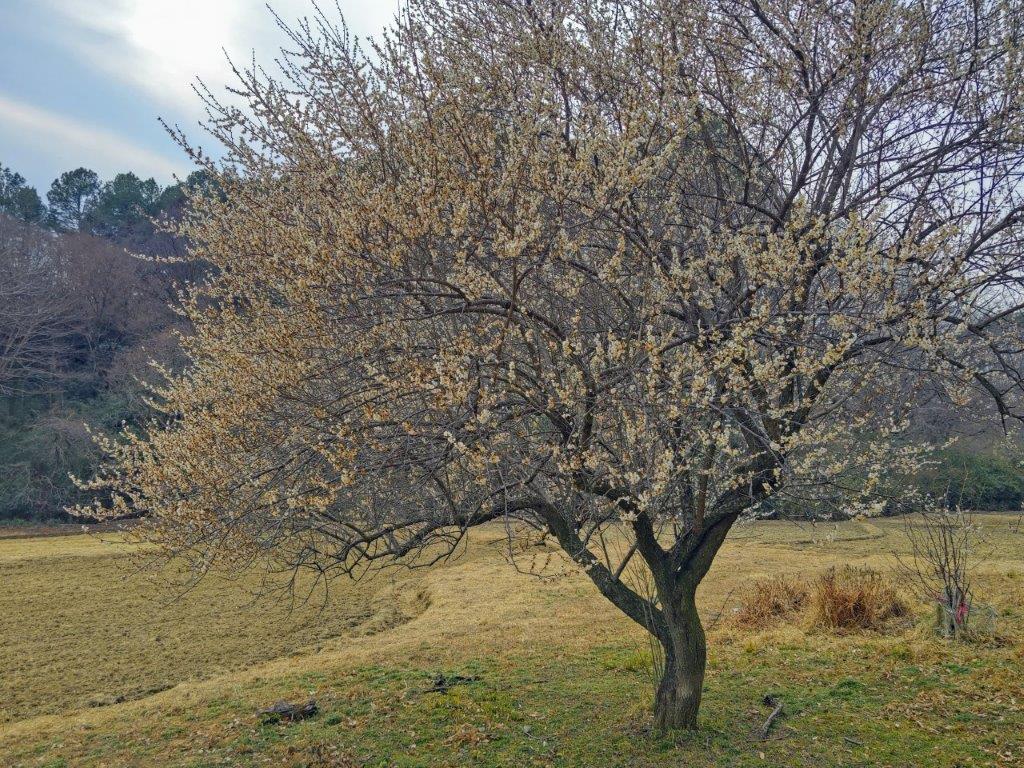
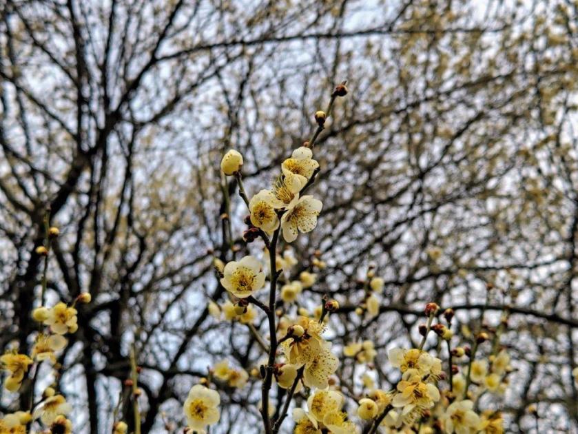
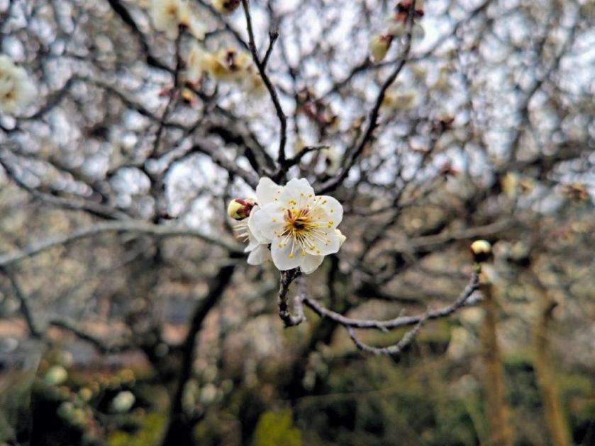
Plum Blossom Tree in Full Bloom
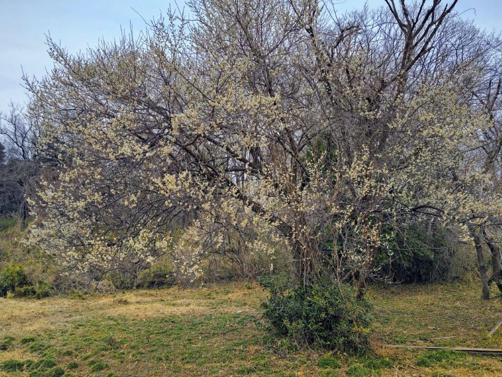
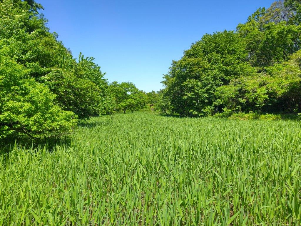
A Hint of Spring in the Hiki Hills
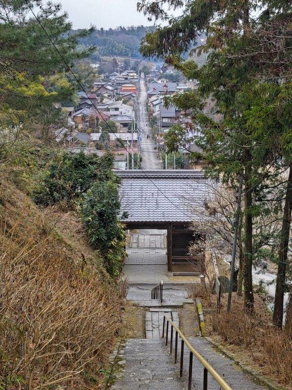
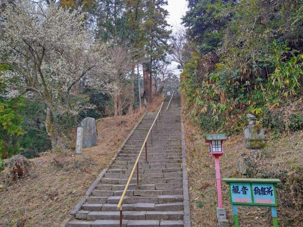
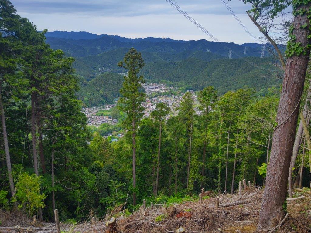
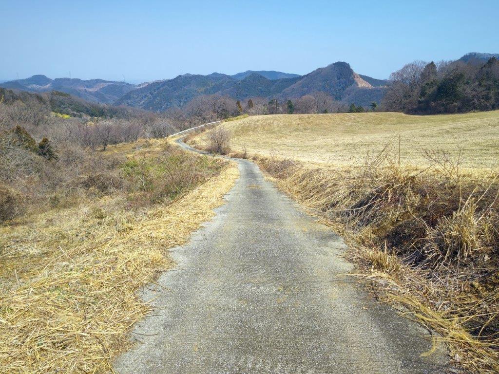
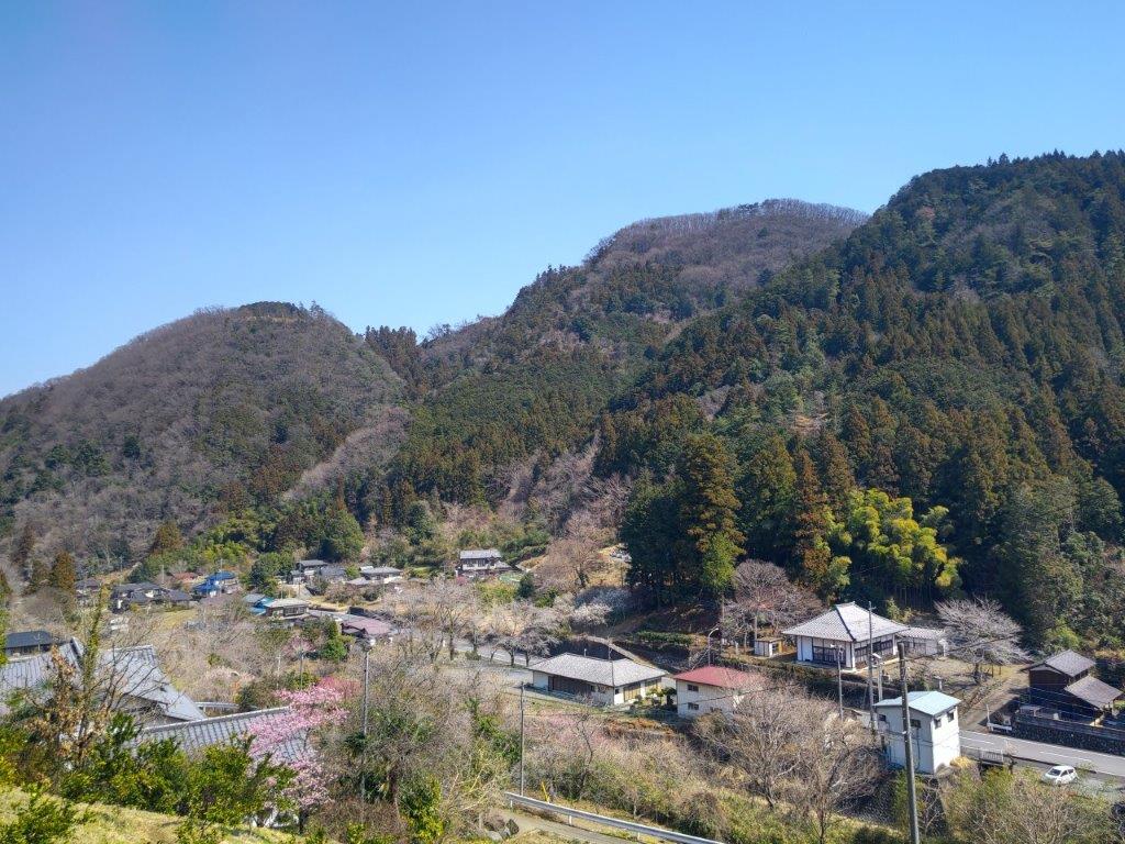
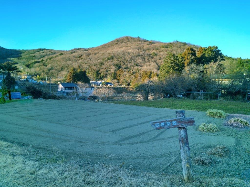
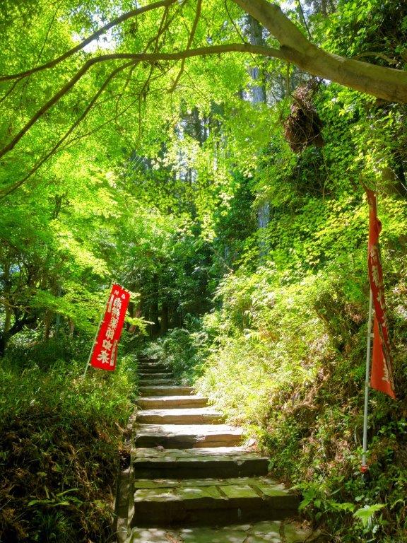
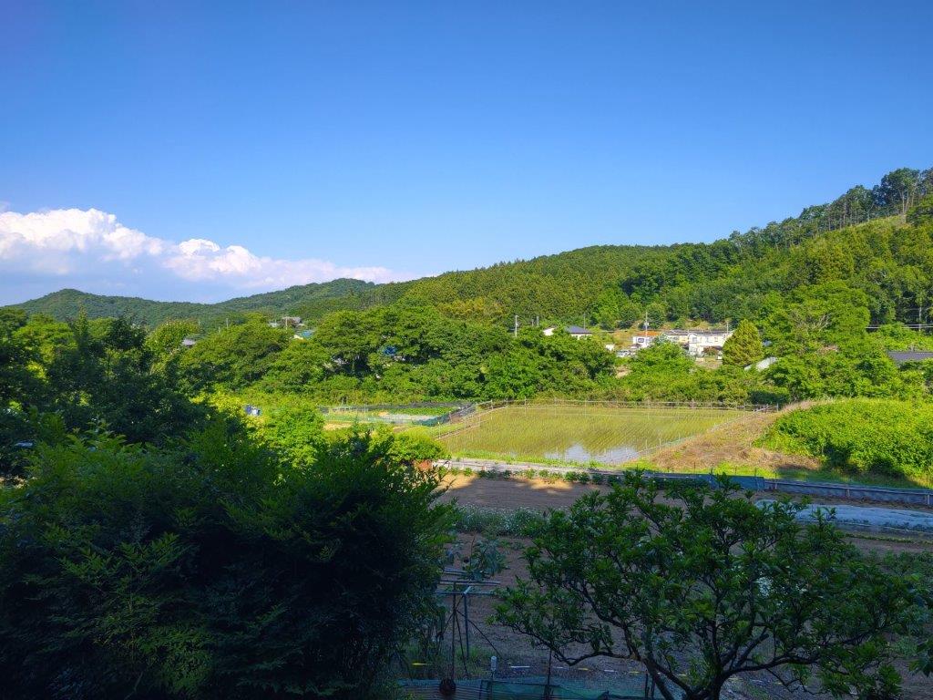
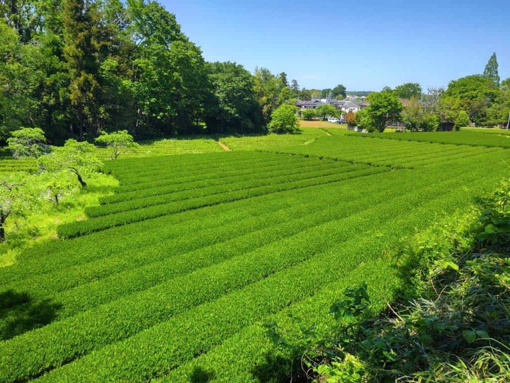
I followed a narrow, twisting past through red pines ending at Iriyama Pond (入山沼). The next section took me along a paved road through a hidden cultivated valley, similar to the Kishi Rice Fields, mostly dormant in the season, but livened up here and there by plum trees in full bloom, a harbinger of Spring. At 3pm, I darted up a slightly overgrown trail on the right side. After a few minutes, I popped out of the thick forest, right next to the bell tower at Shoboji where I had been a couple of hours earlier. I walked over to the top of a long staircase from where I had a bird’s-eye view of the Iwadono Kannon Sando road (巌殿観音参道) extending into the distance.
Shoboji Temple Bell with Iwadono Kannon Sando in the Background
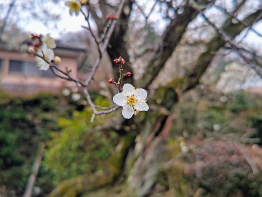
Plum Tree near Shoboji Temple Gate
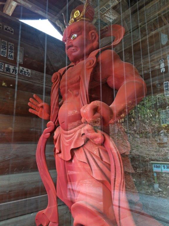
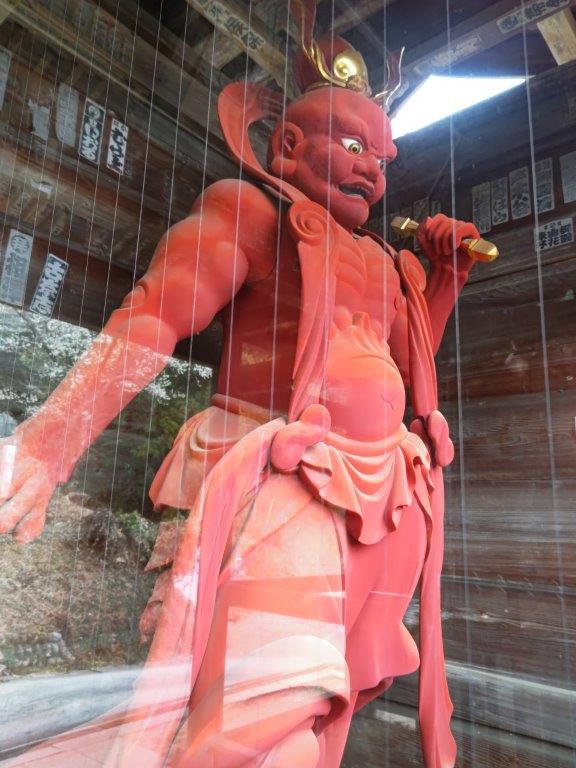
At the wooden gate at the base of the steps, I passed between two red demons guarding the temple entrance, and then made my way down the “sando“, also dormant in this season, although once again, the occasional plum blossom tree added a little cheer to the surroundings. At one point I spotted something rather unusual, a small playground situated inside the grounds of a shrine. At the end of the “sando“, I turned right onto a larger road, and after a 10-minute walk, arrived at a bus stop. After a short wait, I boarded the bus back to Takasaka station. There, I caught the express train for the one hour ride back to Ikebukuro.
Watch a Video of the Hike
See More Pictures of the Hike


You must be logged in to post a comment.