
I had been planning to do this section of the Gunma Fureai no Michi for a while but kept on putting it off since the second half, done more than ten years ago, was closed due to rockfall. As with my previous hike, it was becoming clear that the closure might be permanent so I decided to head out anyway, and just follow the road for the last part. Although I wouldn’t be passing any summits on the way, I hoped to to get a view of the mountains of western Gunma from a park located on the southern flanks of Mt Myogi.
Hiking on the Kanto Fureai no Michi 関東ふれあいの道
Hiking in Nishi-Joshu 西上州
To get to the start of the hike, I would ride the shinkansen to Takasaki and then transfer to the Joshin railway for the one-hour ride to Shimonita. There, I would ride a taxi to a nearby plum blossom garden. I would end the hike at a hot spring facility at the northern edge of Mt Myogi; after a refreshing dip, I could take a taxi to Matsuida station on the Shin-Etsu line, a few stops from Takasaki. The weather was supposed to be sunny, as well as warm for the season. I was looking forward to getting some close up views of one of the three famous mountains of Gunma.
For subscribers, read this Blog Post on Hiking Around Tokyo for a better viewing experience and the latest updates


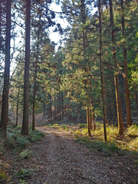
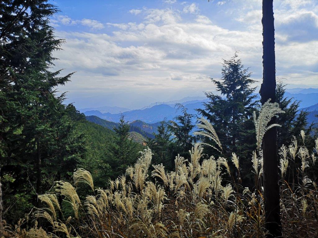
Going up through the Sakura no Sato Park

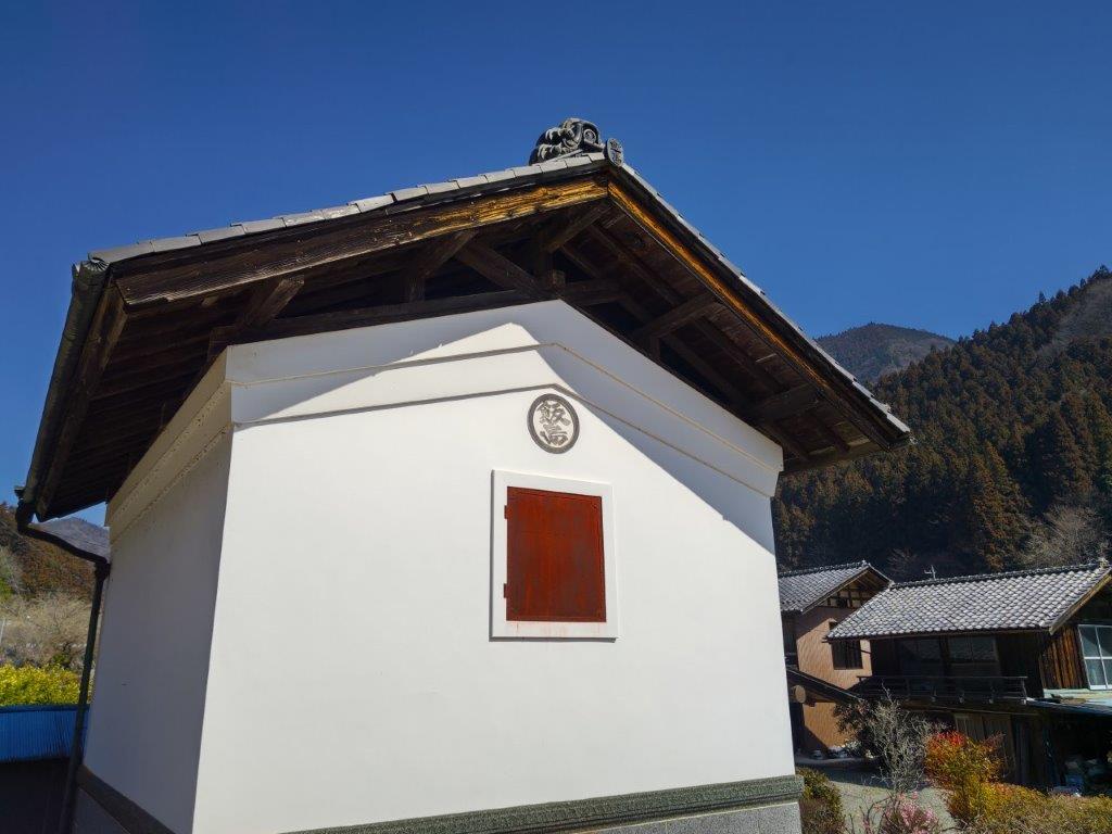
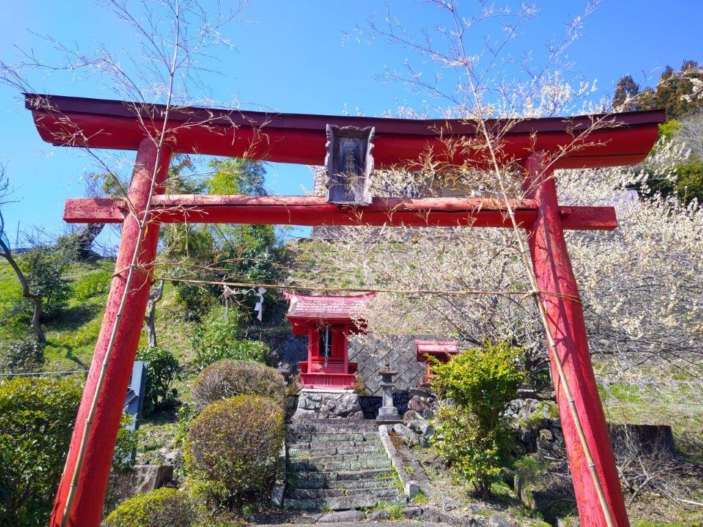
View of Hitto Rock (left) Path for Myogi Shrine (right)
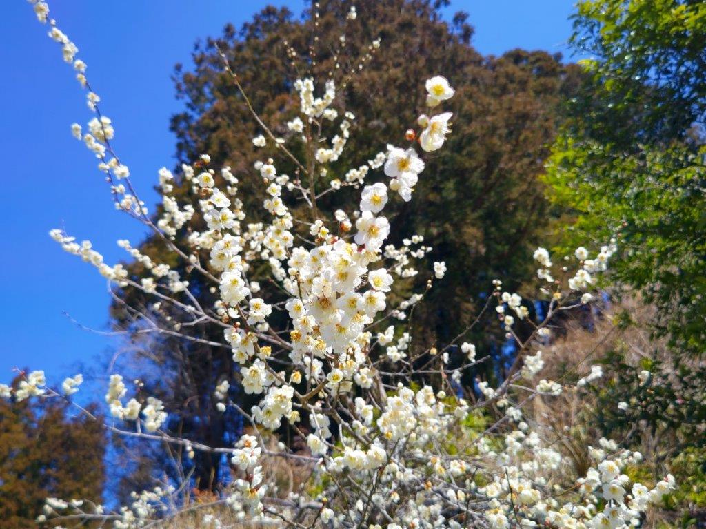
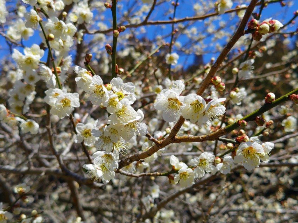
Surprisingly, almost all seats on the Joshin Electric line were taken upon leaving Takasaki station, although most passengers got off well before Shinomita, the final station on the line. After a short taxi ride, I was at the entrance of Fukujuso no Sato (寿草の里), a little past 10am. After getting reading for hiking, I made a small donation at the front gate and entered the plum blossom garden, the last day of the year it was open to the public. I made my way along a path under white and red blossoms, slowly heading up the mountain side; at 11am, I reached a viewpoint at the highest point of the garden.
View of Mt Ogeta (right) from Fukujuso no Sato
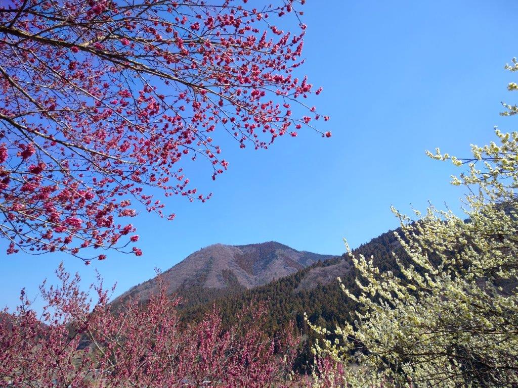
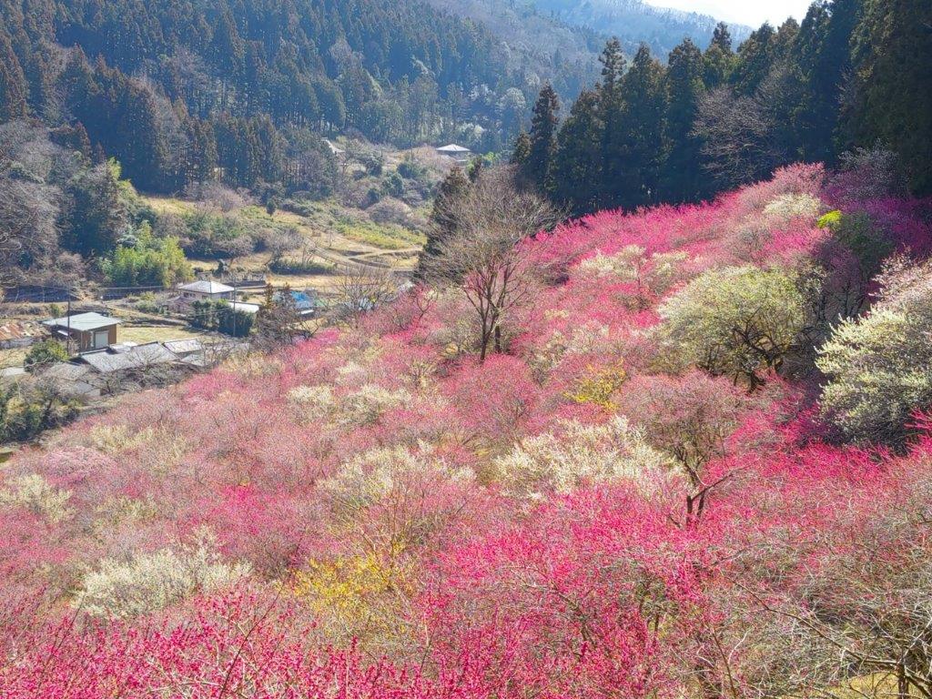
View of the Plum Blossoms from the Highest Point
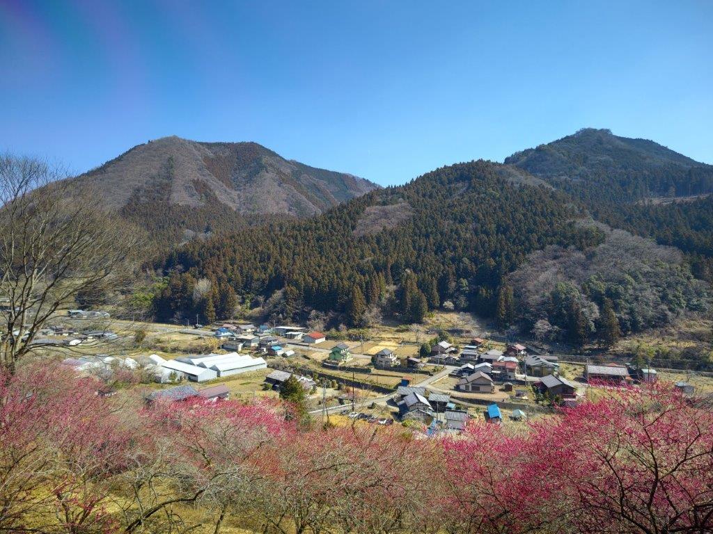
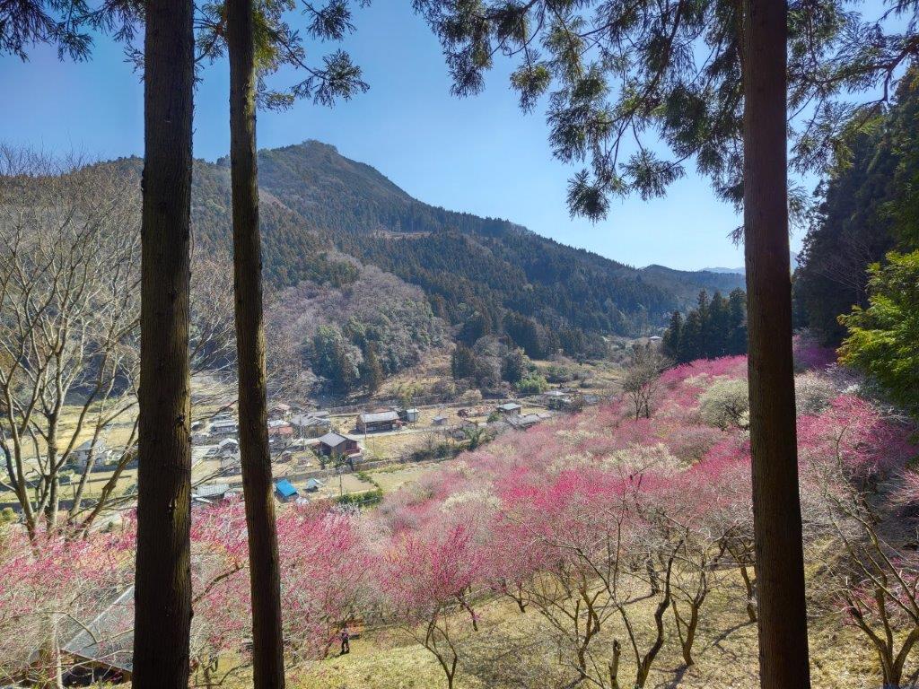
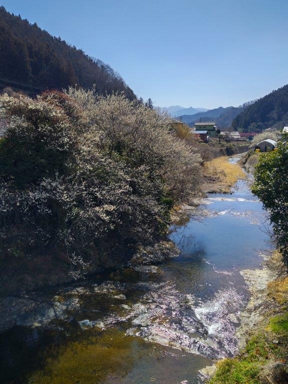
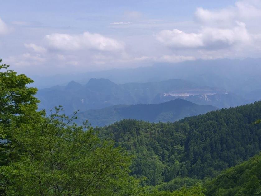
I was amazed by the sea of pink spreading down into the valley. Opposite was Mt Ogeta; on the south side, I spotted the triangular shape of Mt Inafukumi, and northwards, I could make out one of Mt Myogi’s many peaks. After a short break, I headed down via a different path, and half an hour later, joined up with the Fureai no Michi, descending from Mt Ogeta on the right. I was now heading north along a road connecting Shimonita with Matsuida, but soon turned left onto a smaller road leading up a valley. On the left side, beyond a stream, I could see the higher slopes of Mt Mido. At noon, I arrived at the Nakamura bus stop, where I turned right, heading up a small mountain road with almost no traffic.
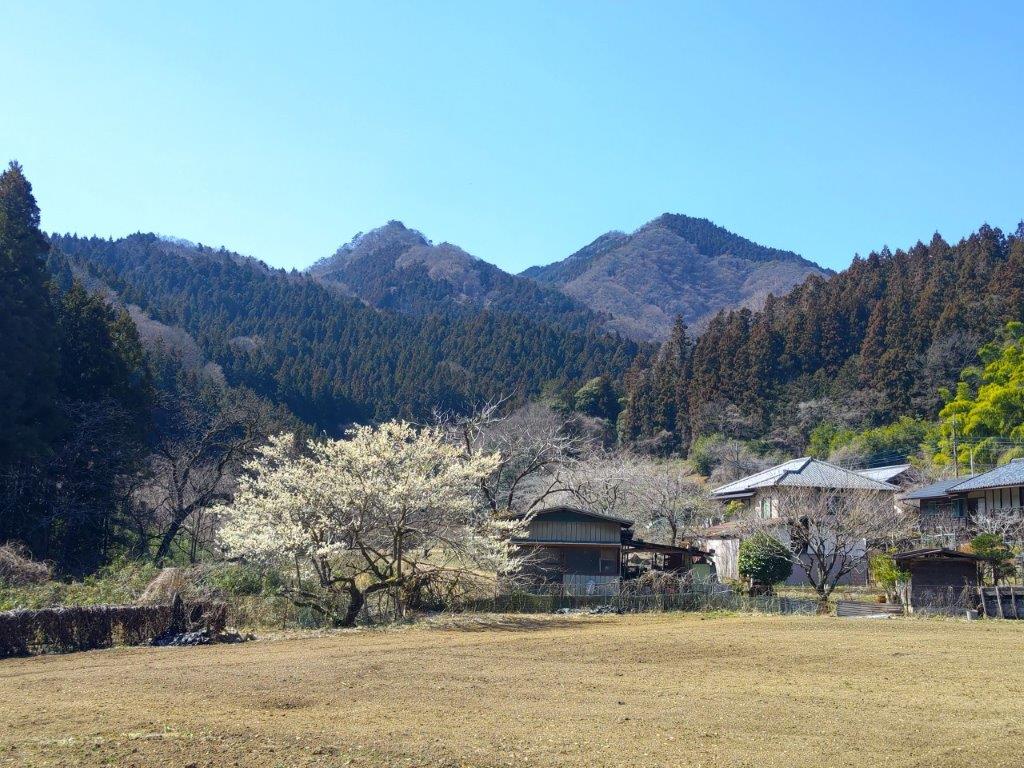
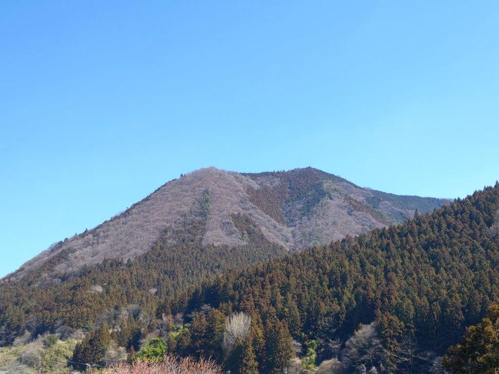
View of Mt Mido from the Fureai no Michi

View of Mt Myogi from the Fureai no Michi
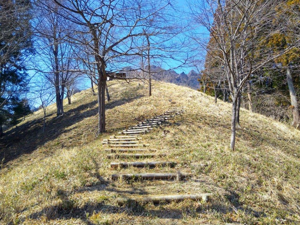
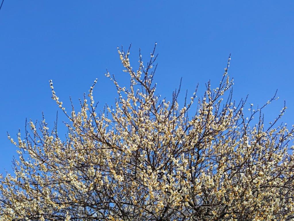
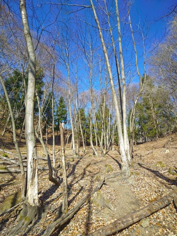
Along the way, I enjoyed the view of plum blossoms trees in full bloom, whetting my appetite for the approaching cherry blossom season. As the road climbed higher and higher, I noticed patches of melting snow in the shade, a reminder of the winter weather that had only just loosened its grip a few days ago. At 1pm, I reached a trail at the base of the Sakura no Sato Prefectural Forest Park (県立森林公園 さくらの里), meaning “Sakura Village” and famous for its many cherry blossom trees, supposed to reach full bloom in a few weeks. A short climb took me above the tree tops, their buds firmly closed, and at a fork in the path I stopped to turn around.

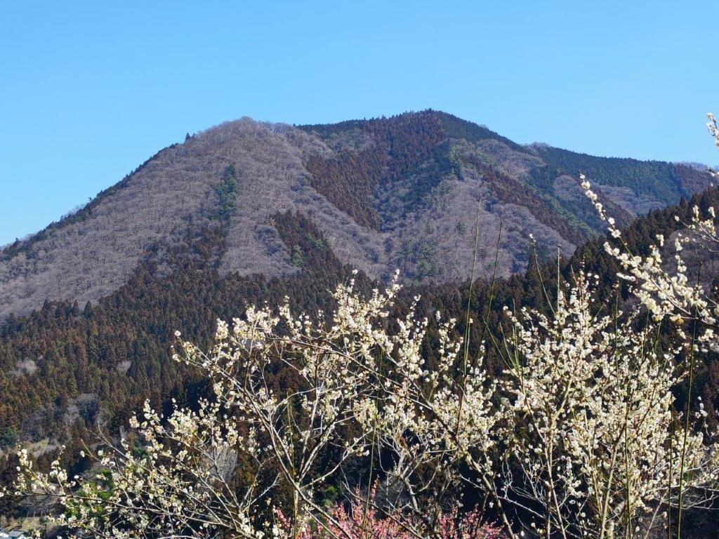
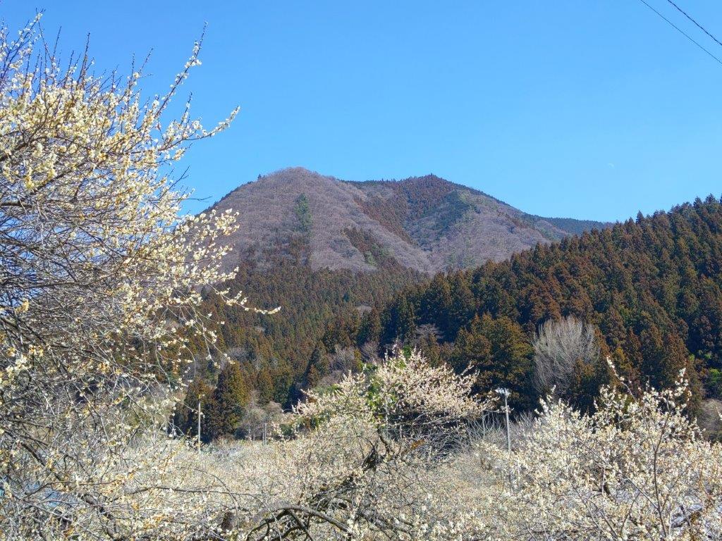
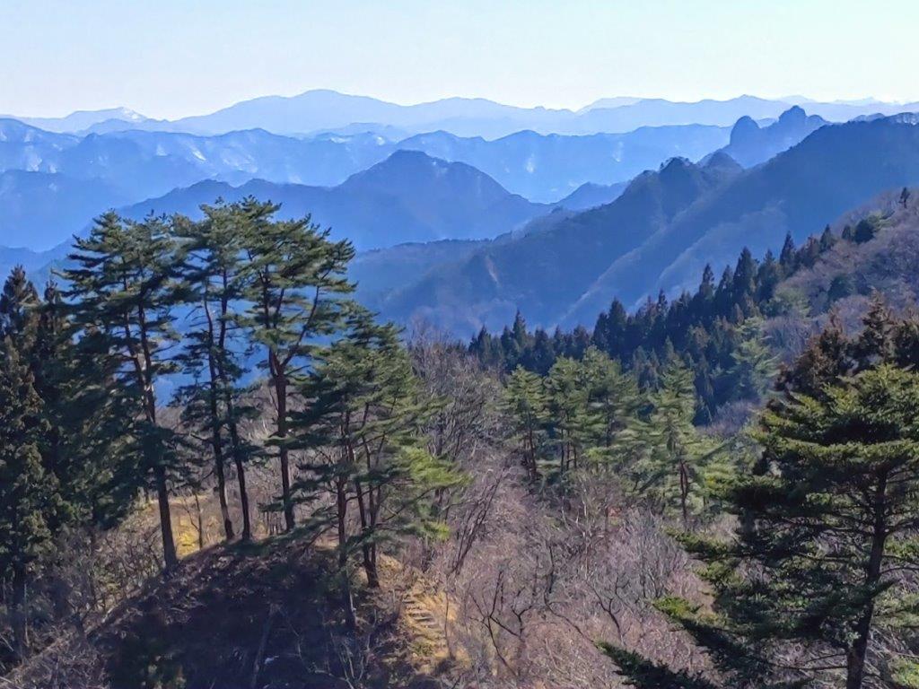
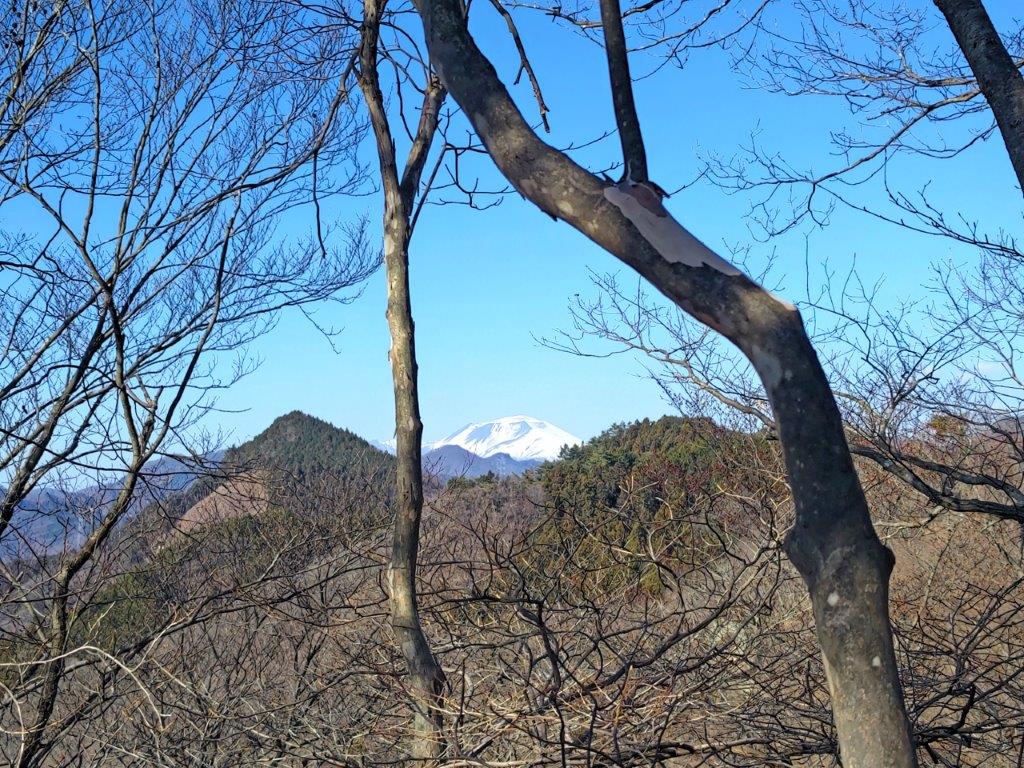
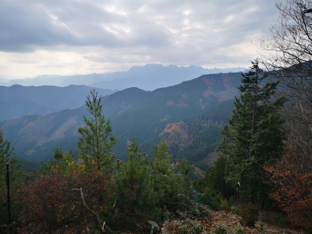
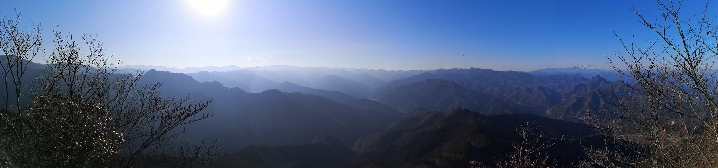
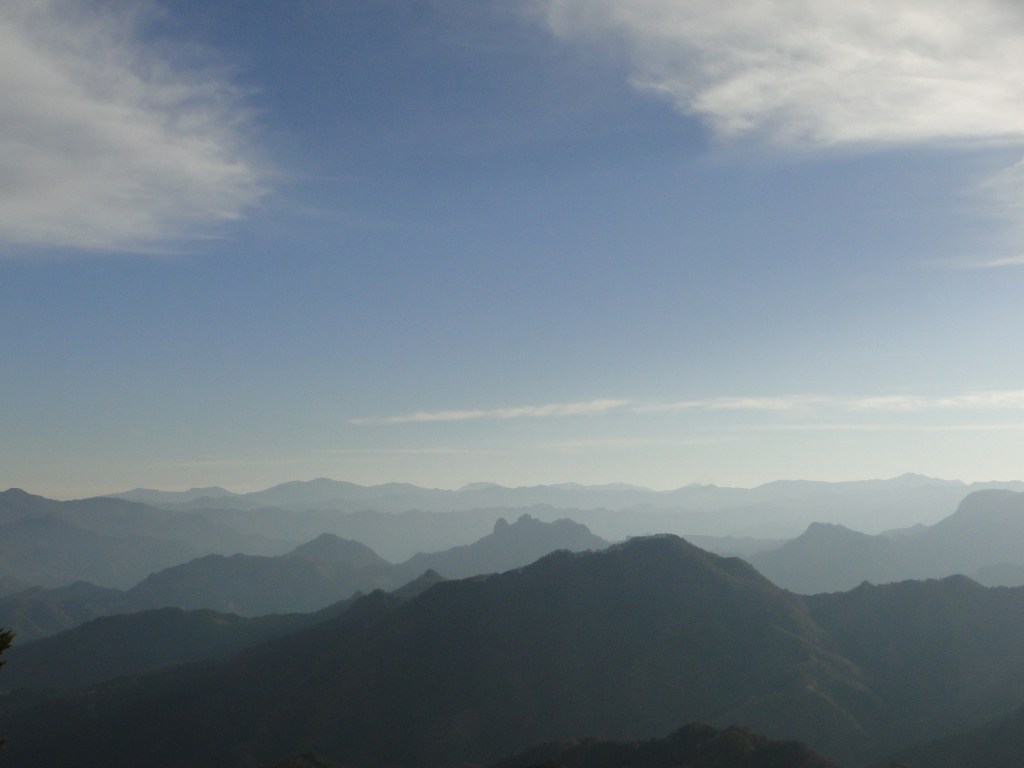
View of Western Gunma from Sakura no Sato
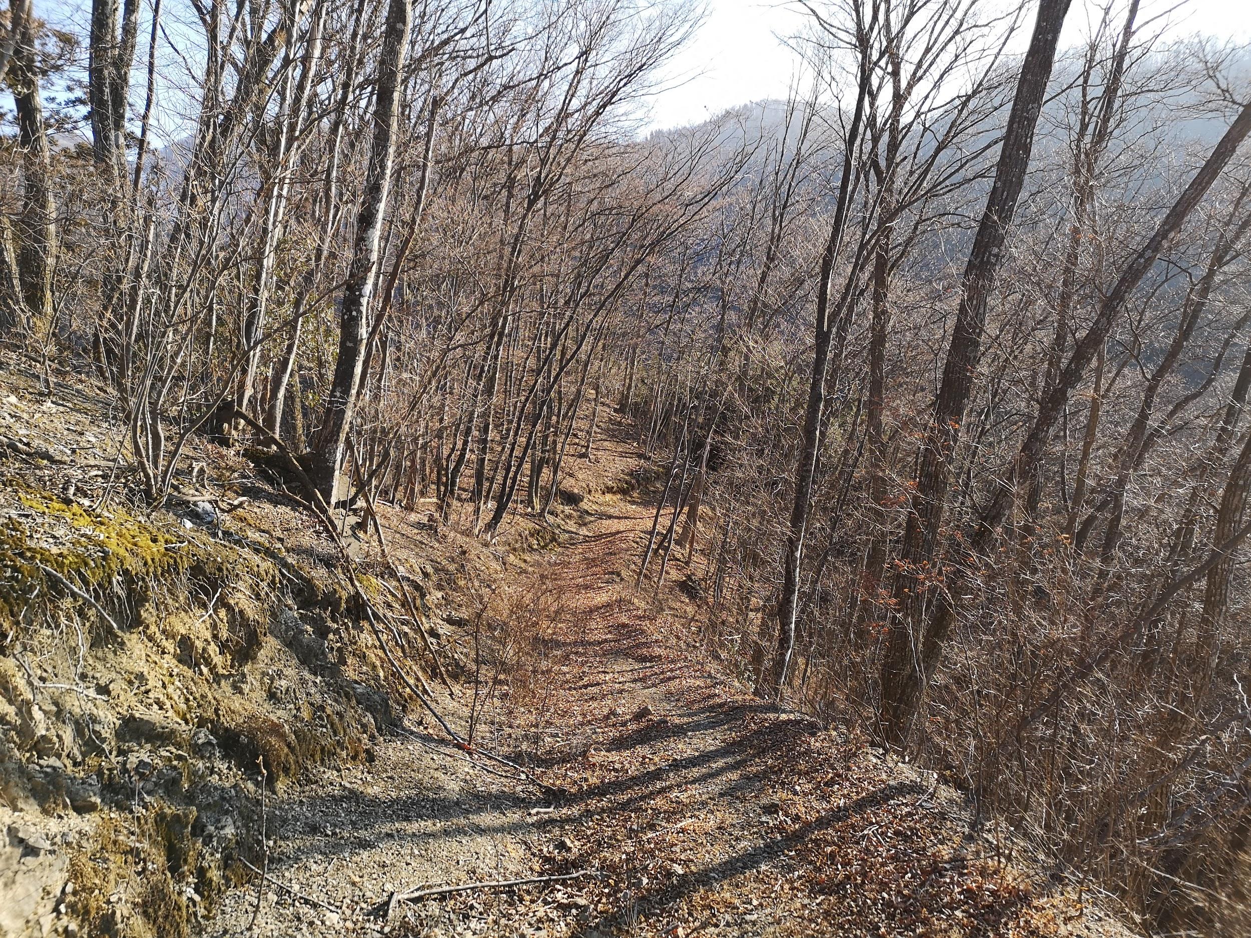
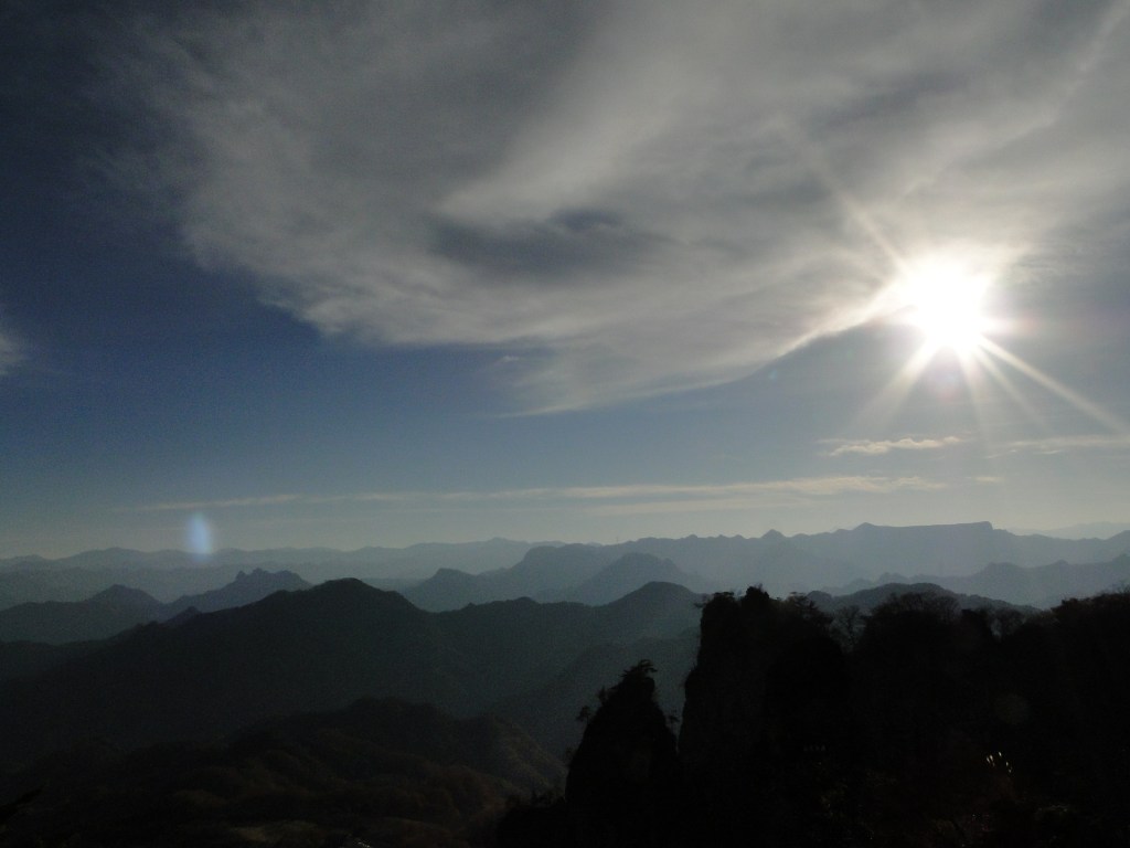
Nearing the Open Shelter and Mt Myogi Viewpoint
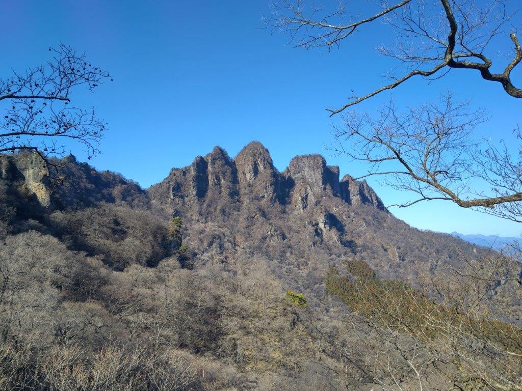
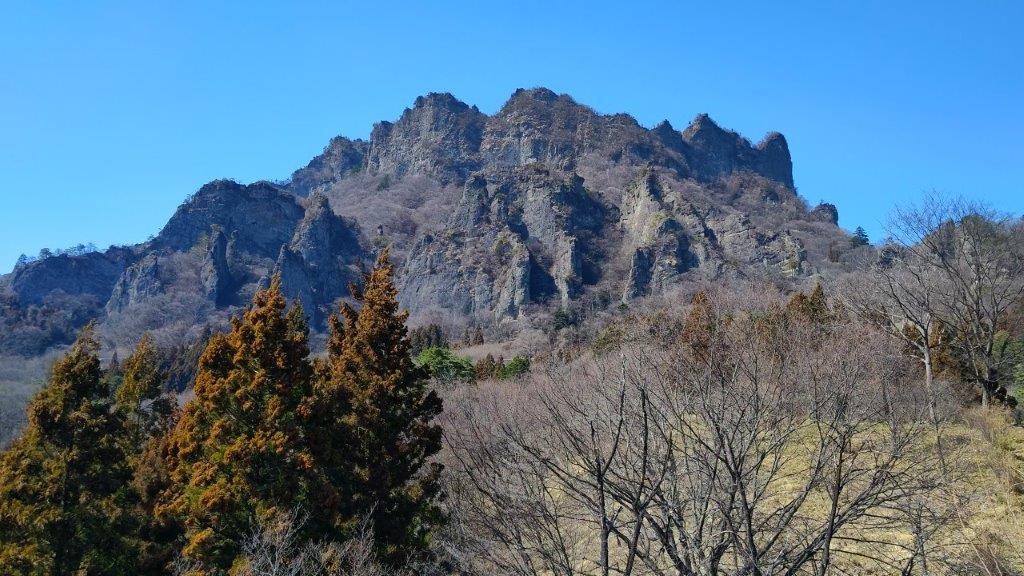
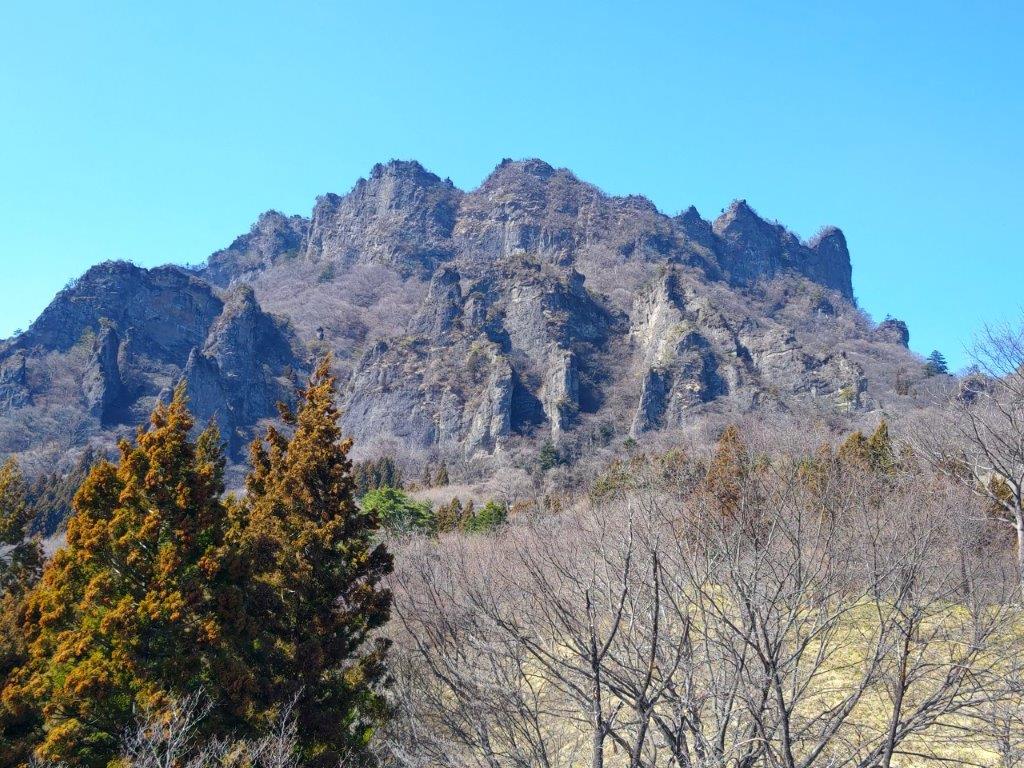
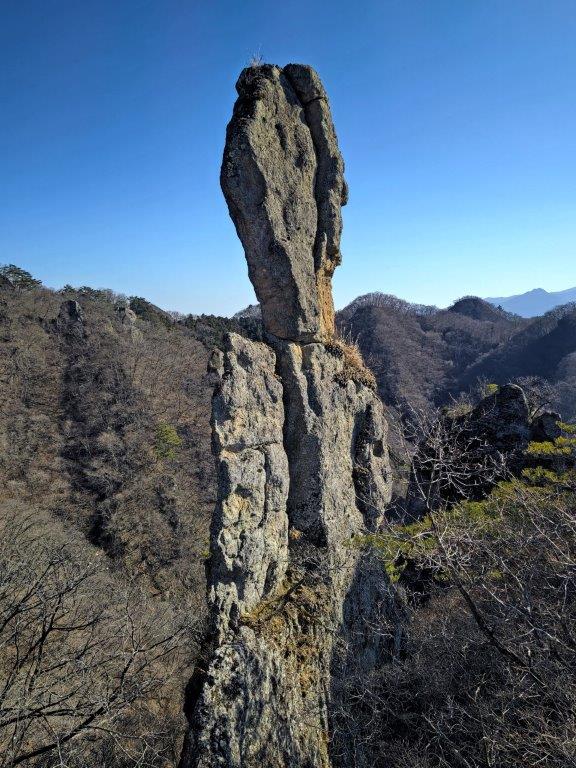
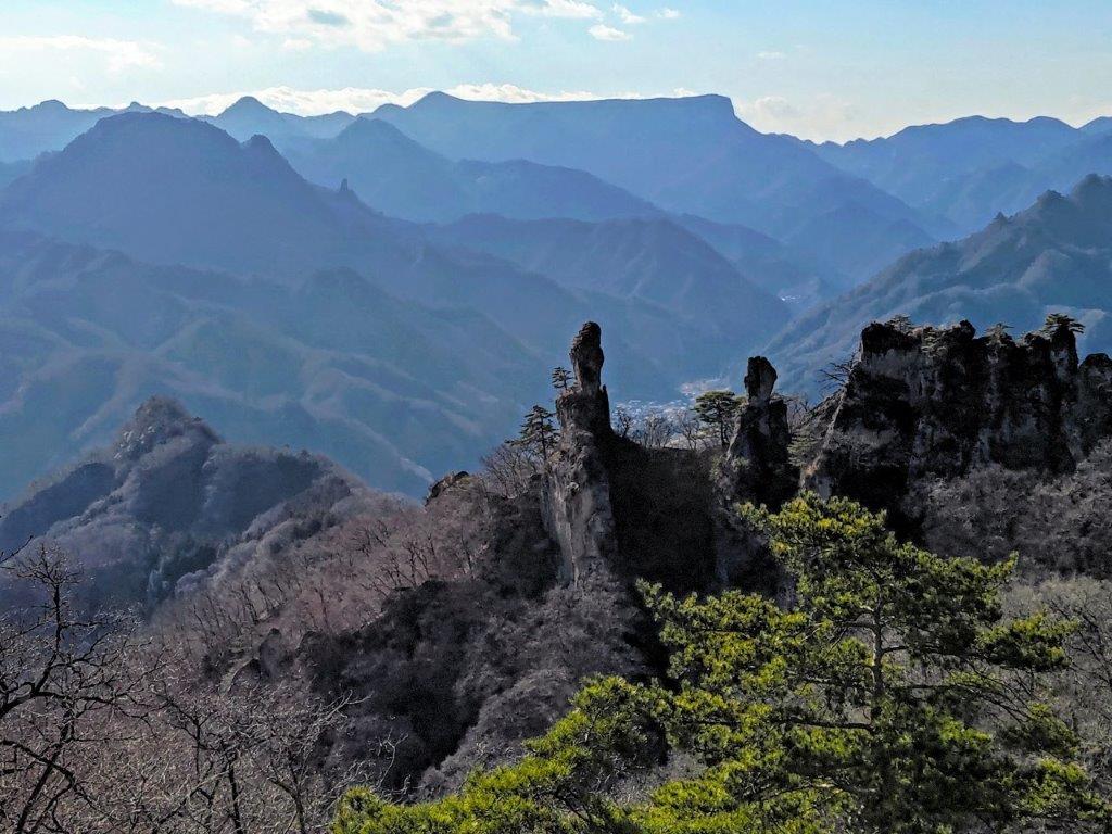
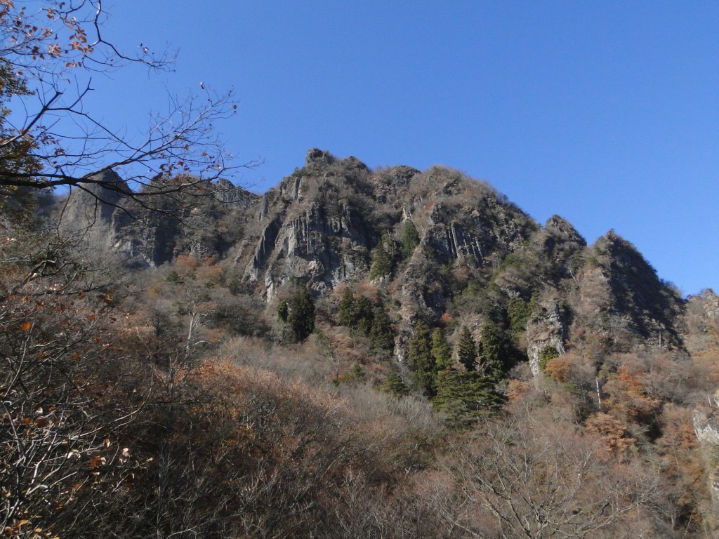
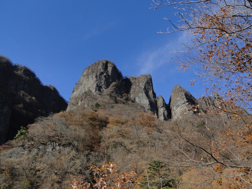
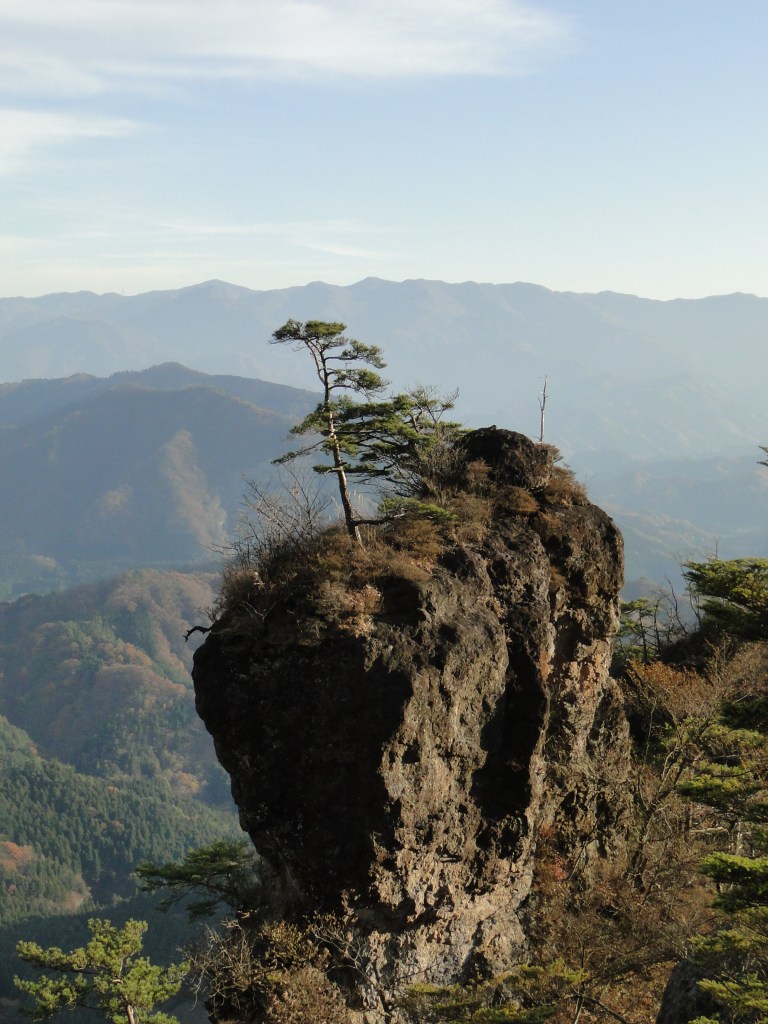
I was stunned by the impressive view of the long mountain ridge separating Gunma and Saitama, still covered in snow; I had climbed many of these peaks, including the highest one, Mt Akaguna; in the foreground, I could see Mt Ogeta and Mt Mido. A few more minutes up some log steps brought me to an open shelter with a dramatic view of Mt Kondo, the north side of Mt Myogi. Since it was just past 1pm, I settled down for lunch. At 2pm, I resumed my hike and made my way to the rest house at the highest point of the park. Along the way, I had some excellent views of the nearby Hitto-Iwa (筆頭岩 826m), a mini-version of the Matterhorn. Although the trail to the summit is closed, I could follow it all the way to the base of the rocky summit.
Mt Kondo from Sakura no Sato
In the background, Mt Mikabo (left), Mt Inafukumi (center) and Mt Akaguna (right)
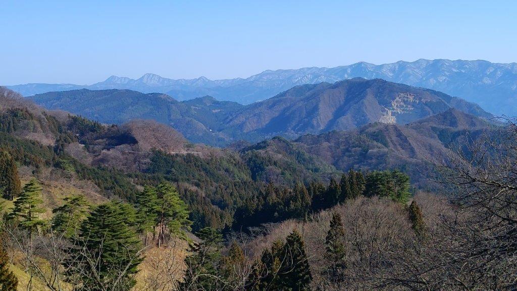
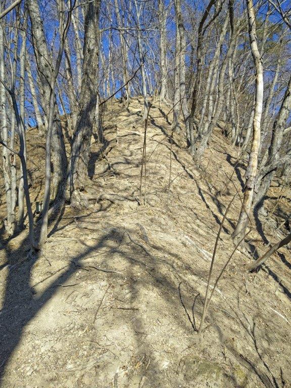
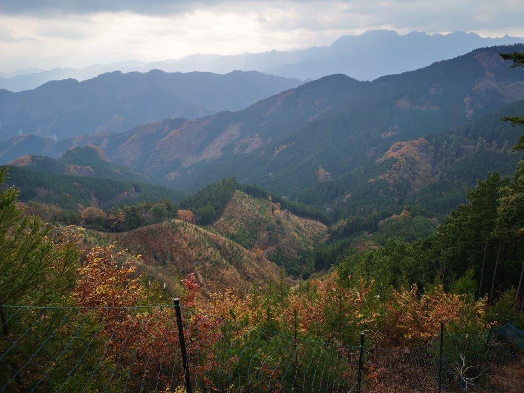
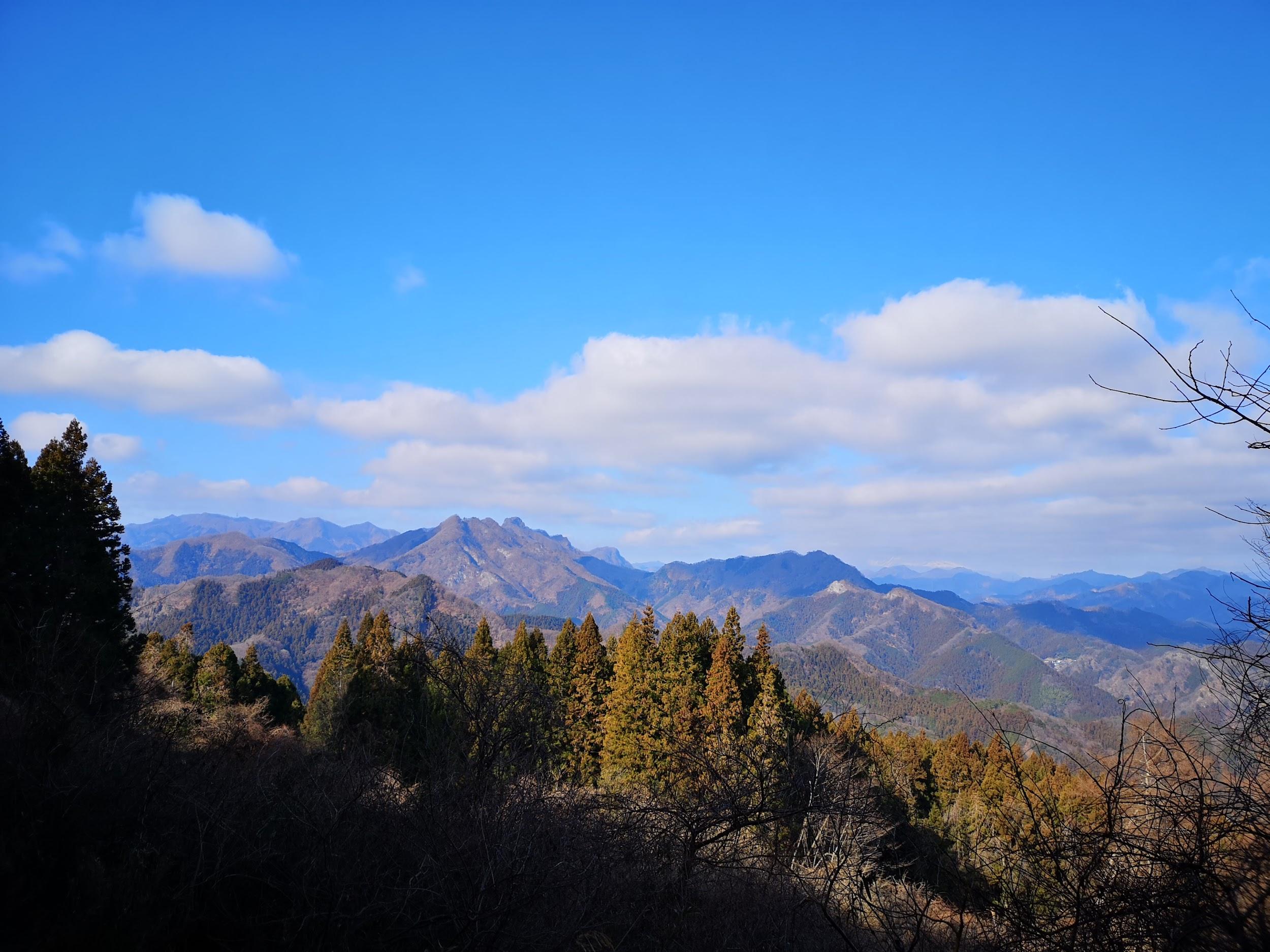
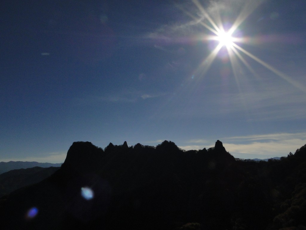
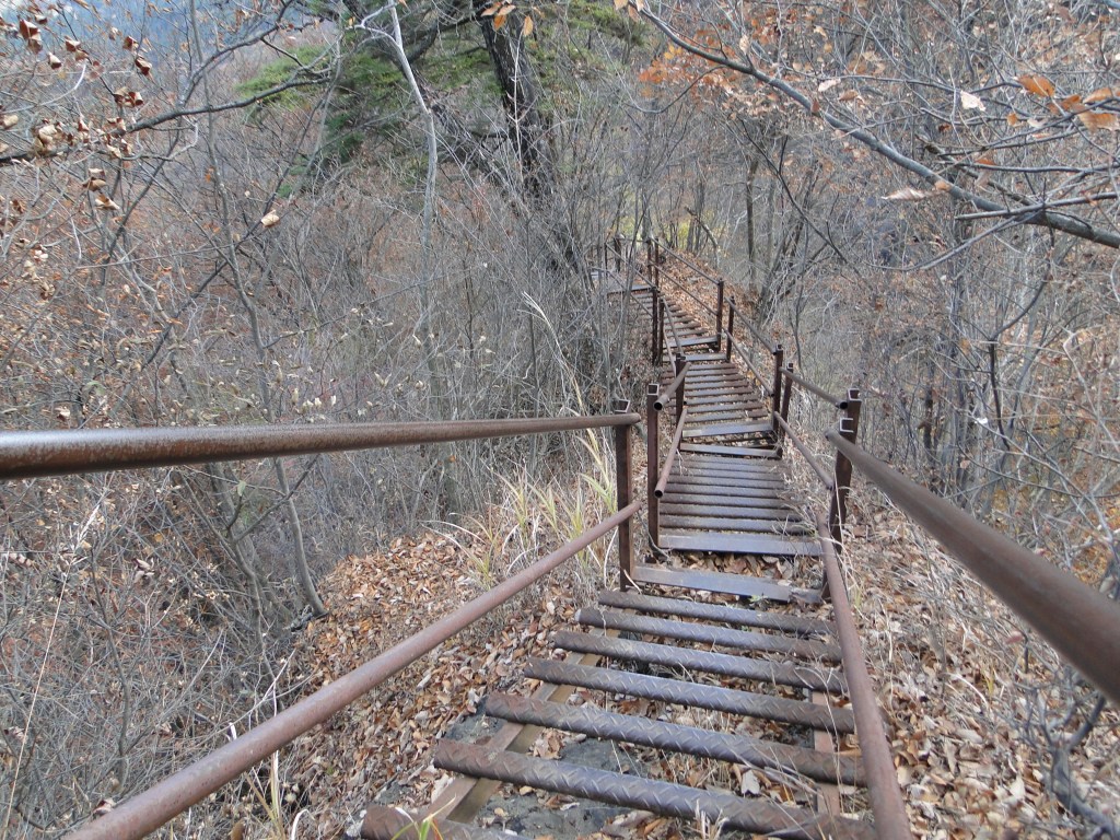
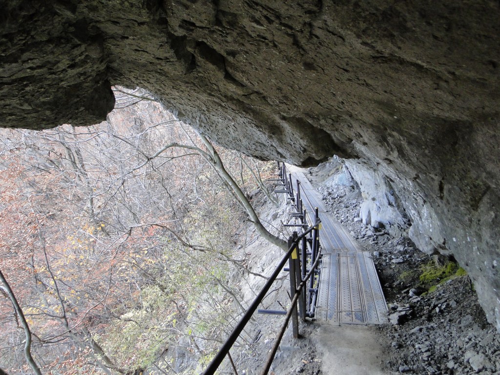
I was rewarded with a striking view of Mt Souma, the south side of Mt Myogi and its highest peak, the best view of the day. Since I was on schedule, I took some time to walk along the road above the park to get some more views of the mountains of Nish-Joshu; I could see all the way from Mt Mikabo on the eastern side to Mt Arafune on the western side. At 3pm, after crossing the road, I was back on a hiking path for Myogi Shrine along the Fureai no Michi, heading down a steep, rocky trail, now in the afternoon shade. Very soon, I reached another viewpoint of Mt Souma, this time from below; fortunately, the rocky face was sill bathed in the late-afternoon sunlight.

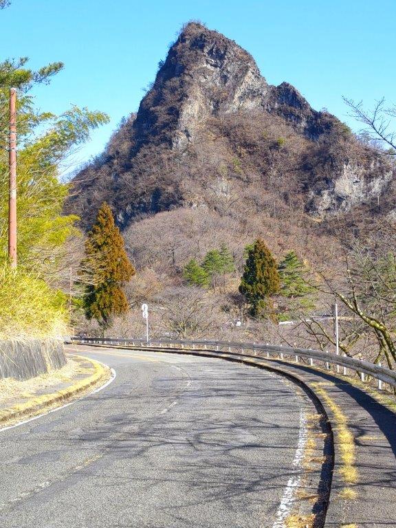
The Matterhorn lookalike Hitto Rock from Sakura no Sato Park

Mt Souma from the Fureai no Michi
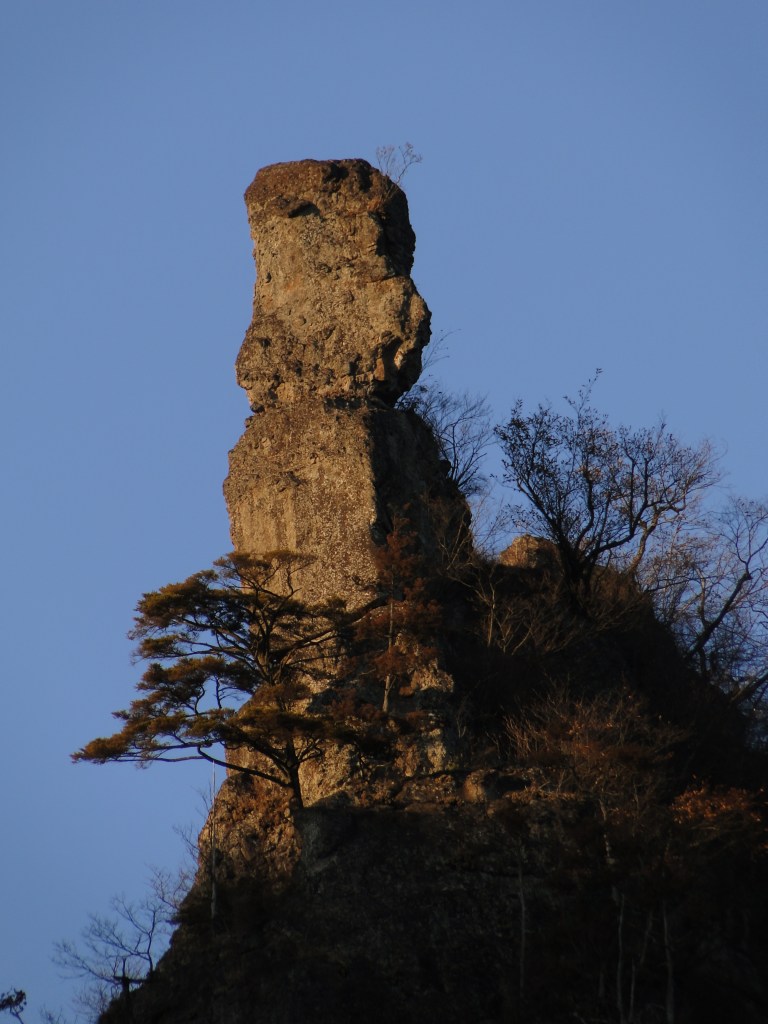
I admired the ragged summit, tantalizingly close but beyond the reach of the casual hiker. Some more descending brought me back to the road I was on earlier; it had taken a long detour around Hitto-Iwa. From this point it was a thirty-minute walk to Momiji-no-yu Hot Spring, which I reached around 4pm. Before hopping into the outdoor bath with a view of Mt Akagi, a made a quick visit to the neighbouring Visitor Center where I was able to examine a couple of relief models of Mt Myogi. The onsen staff were kind enough to arrange a taxi for me, and by 5h30, I was at Matsuida station waiting for the train for Takasaki. Although roughly half of this six-hour hike was on paved roads, I met no other hikers, saw plenty of plum blossoms and had some amazing views of the mountains of Gunma.
Watch the Video of the Hike on YouTube


See a Slideshow of More Pictures of the Hike
![Mt Akaguna (1523m), Kanna Town, Gunma Prefecture, Sunday, May 28, 2023 [Mikabo Super Forest Road]](https://hikingtokyo.com/wp-content/uploads/2023/08/dsc_7643-1.jpg?w=1024)


![Mt Mido (878m), Shimonita Town, Gunma Prefecture, Monday, January 9, 2023 [Map Available]](https://hikingtokyo.com/wp-content/uploads/2023/05/dsc_32598.jpg?w=1024)


You must be logged in to post a comment.