

I had been to the Kirigamine Highlands about eight years ago so I felt it was time for another visit. Back then, I had rented a car from Kofu and summited the highest point, Mt Kuruma, a 100 famous mountain of Japan; this time, I decided to go by bus and up a couple of minor peaks on both sides of the Yashimagara Marsh. I was hoping to catch the autumn colours at their peak, at the risk of encountering crowds of people.
For subscribers, read this Blog Post on Hiking Around Tokyo for a better viewing experience and the latest updates
To get the start of the hike, I’d ride the Chuo line limited express to Kami-Suwa, a little over 2 hours from Shinjuku, and there, catch an Alpico bus for Kuruma Highland; I’d use the same bus for the return. The weather was supposed to be sunny all day but cold for the season. On top of the autumn scenery, I was looking forward to getting some good views of the mountains of Nagano.
Hiking in the Kirigamine Highlands
霧ヶ峰高原
Hiking in the Yatsugatake-Chūshin Kōgen Quasi-National Park 八ヶ岳中信高原国定公園

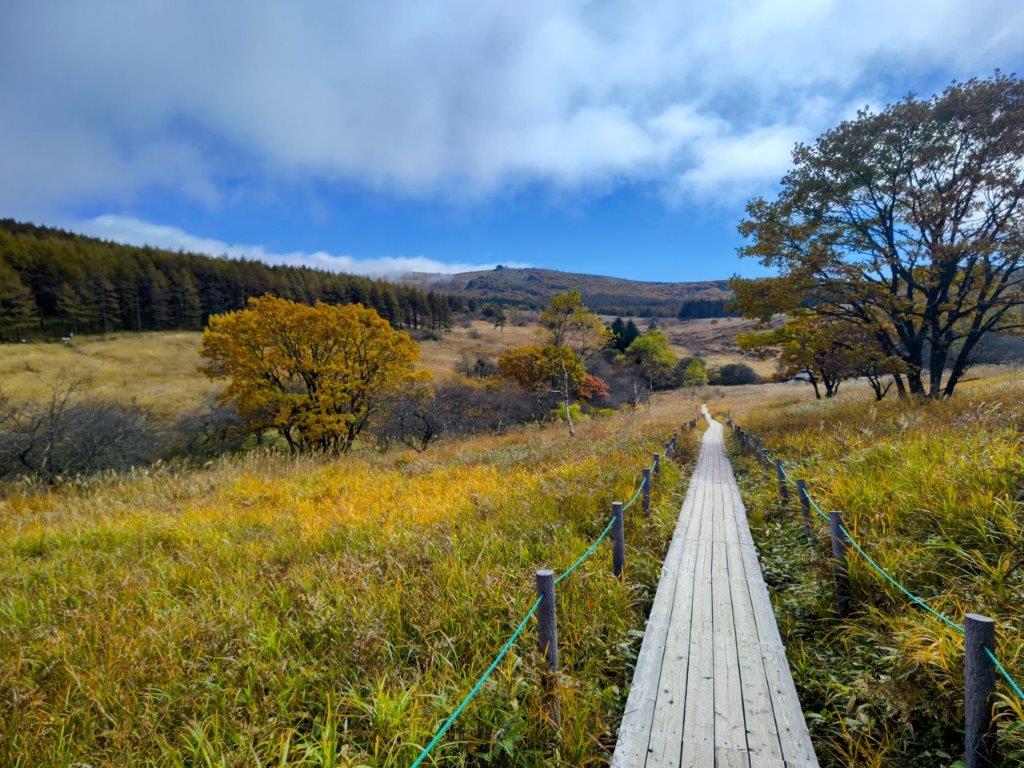
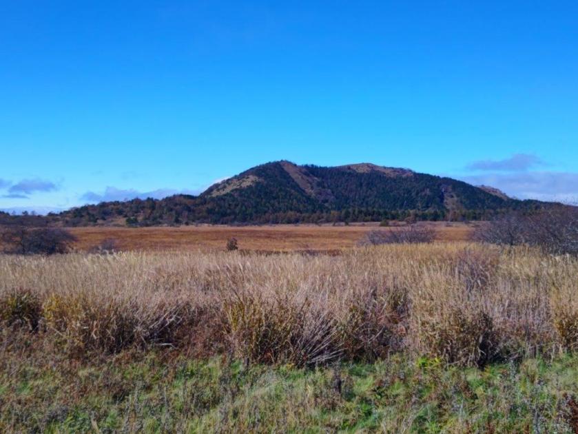
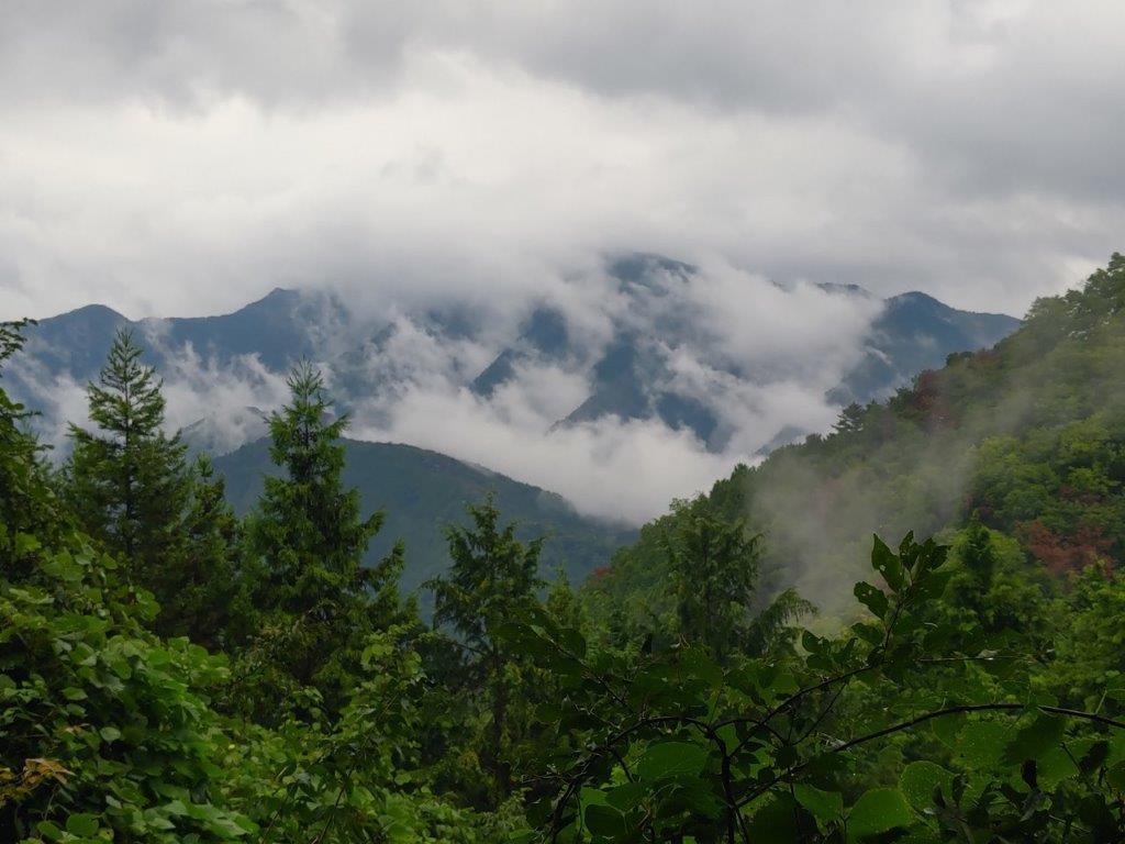
Autumn Colours at Yashima-ga-Hara Marsh
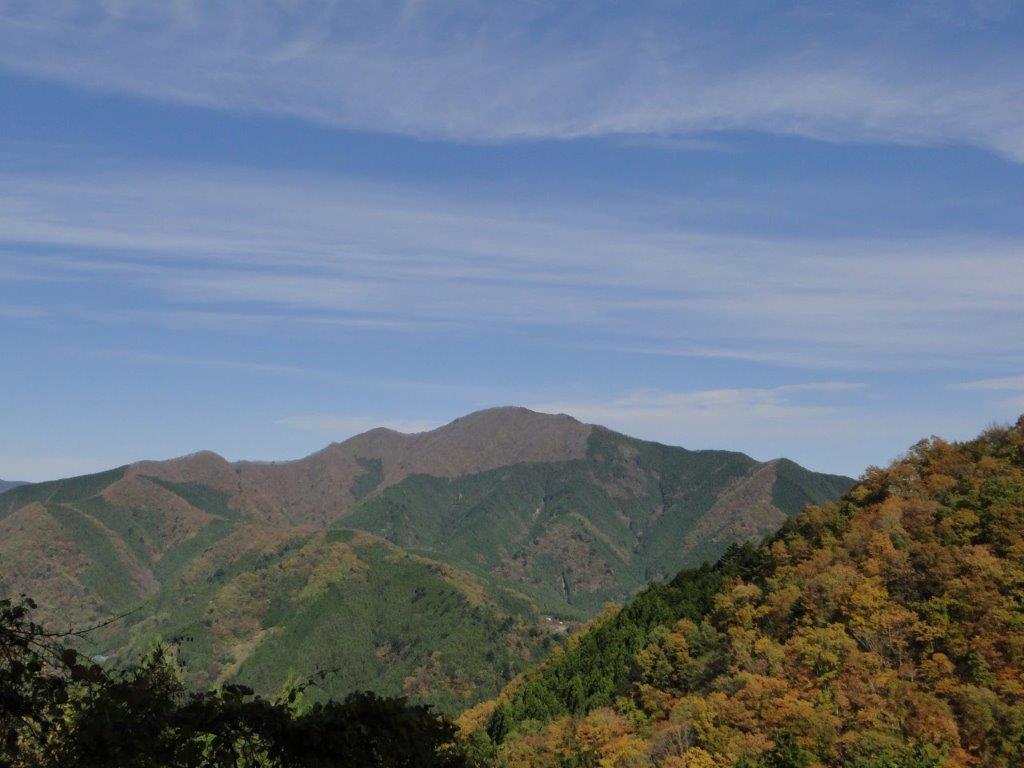
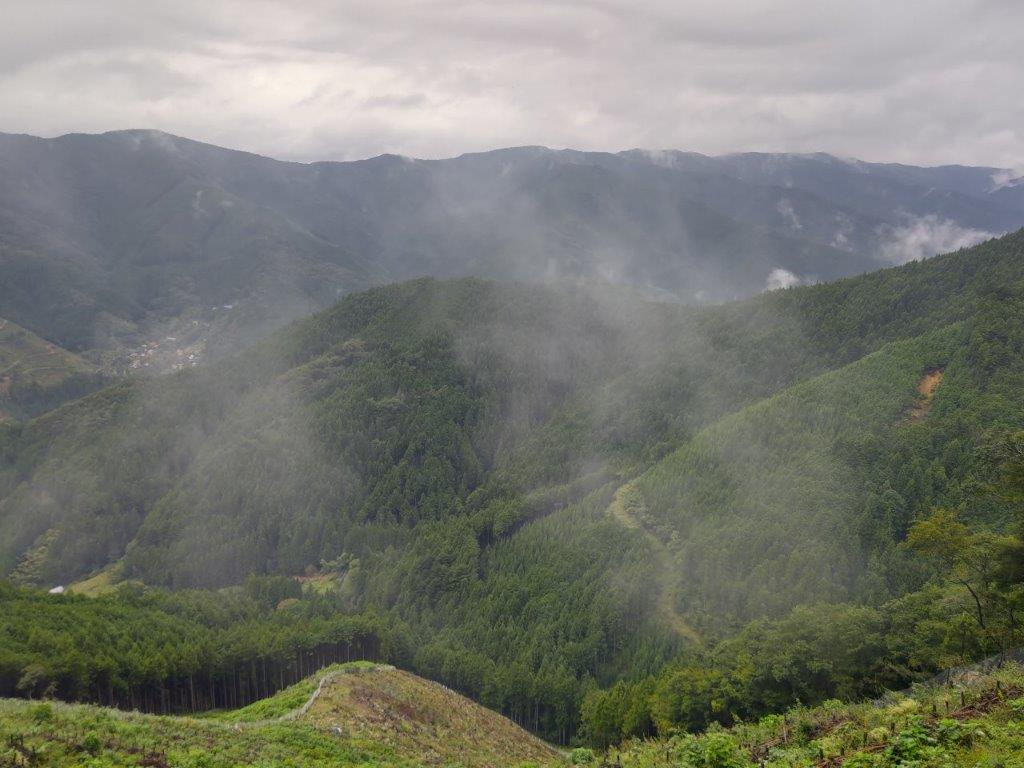
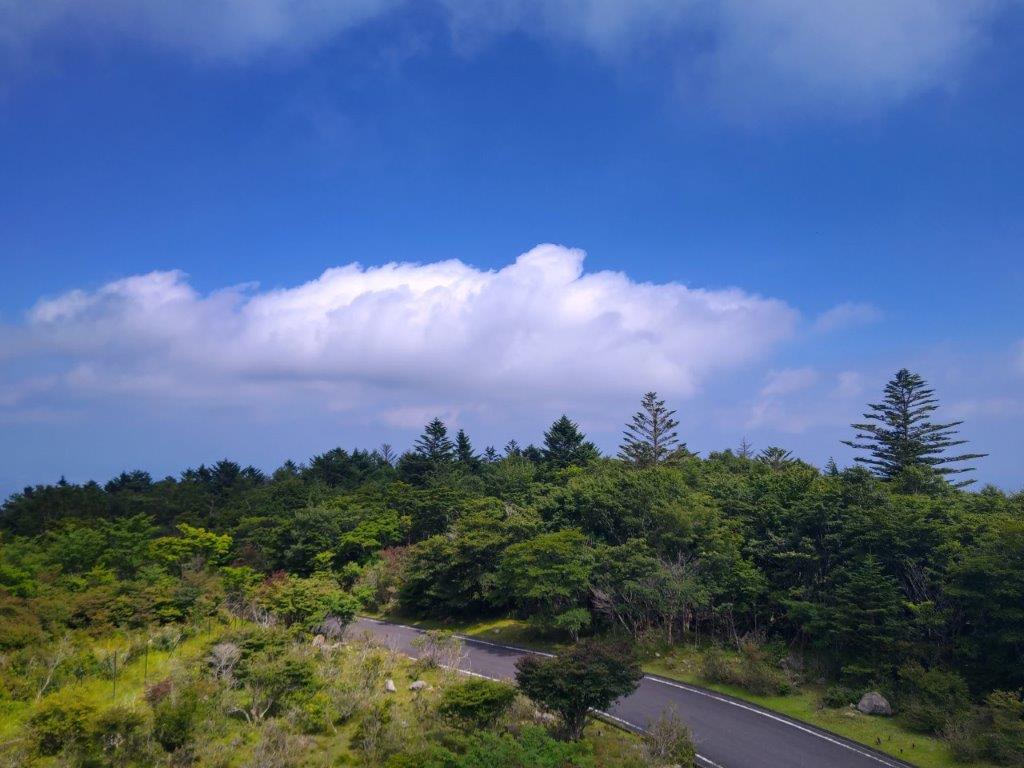
View towards Kuruma Kogen
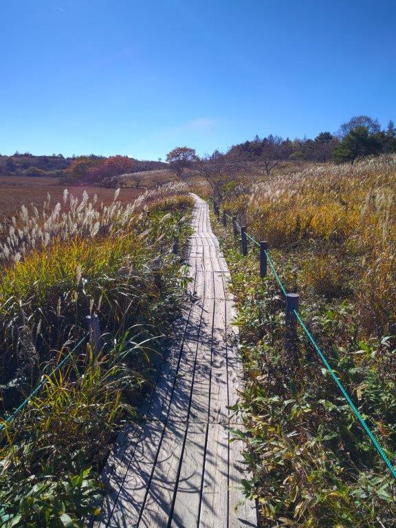
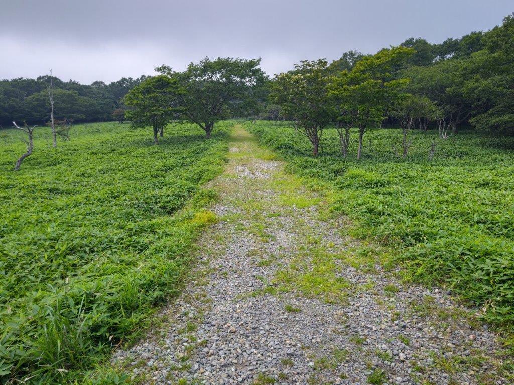
It was a surprisingly cloudy day as I rode the limited express towards Nagano, although the updated weather forecast announced that the clouds would melt away by noon. It felt really cold as I got off at Yashimagara-shitsugen (八島ヶ原湿原), after a 45-minute ride on a packed bus. I popped into the Yashima Visitor Center to check out the exhibits and warm up, before heading to the wooden walkway circling the marshland at 11am, under leaden skies.
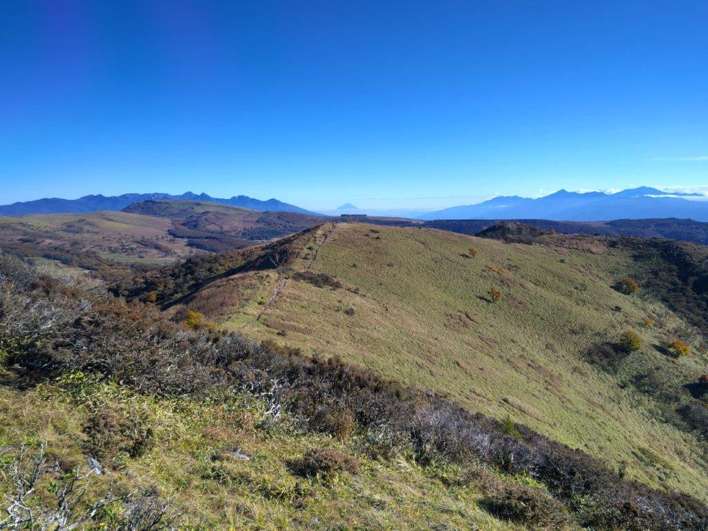
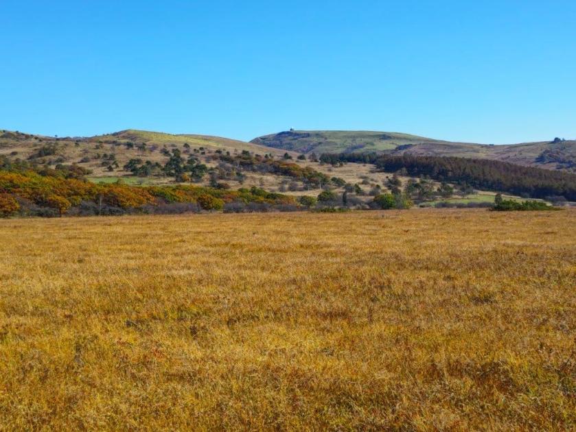
Kuruma Kogen from Mt Zebra

Yashima-ga-Hara Marsh from Mt Zebra
I was glad to see that autumn colours were on schedule, despite the warmer than average temperatures of the past few weeks, somewhat muted due to the overcast sky. I set off at a brisk pace to warm up, counter-clockwise around the marshland; I passed by the Okugiri Hut around noon, now walking under blue skies. I followed the main trail for Mt Kuruma for a short while before turning left onto a small path leading to today’s first summit.

Heading back to Yashima-ga-Hara Marsh

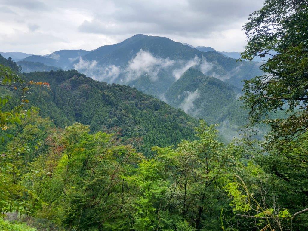
Heading towards Mt Washi
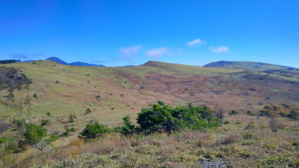
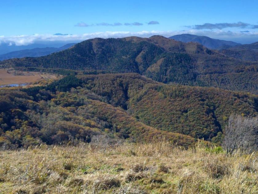
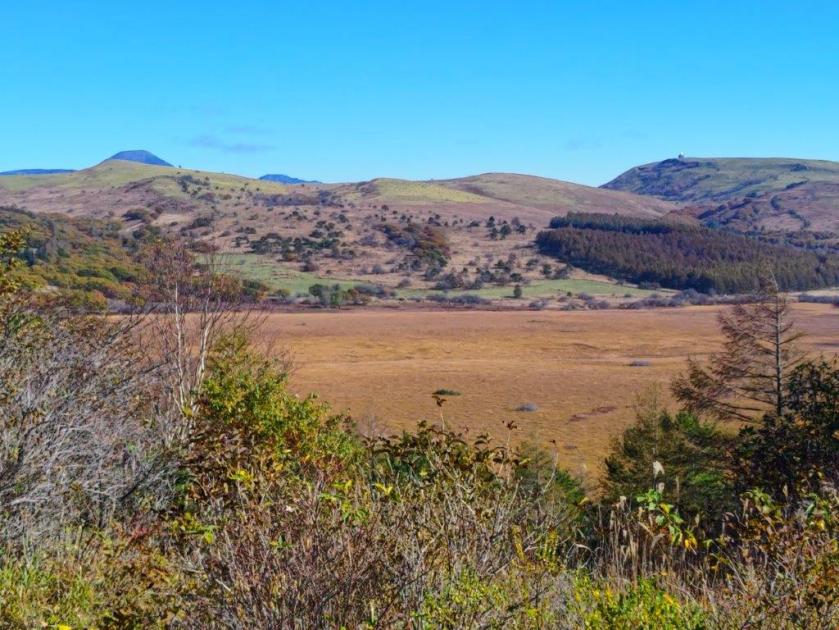
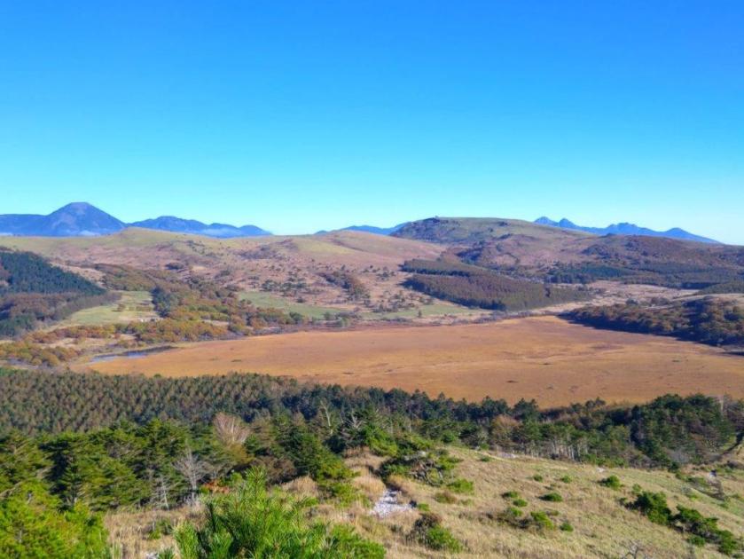
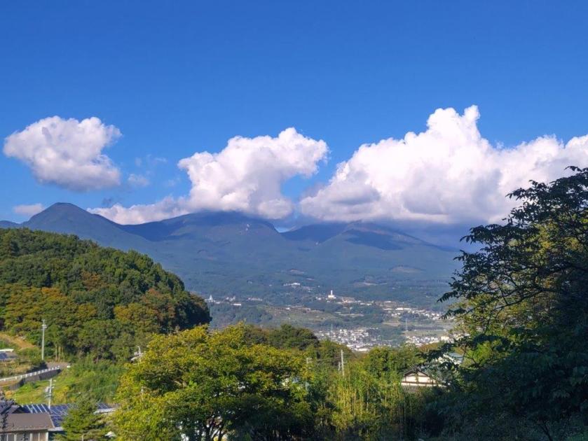
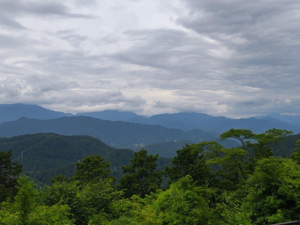
I felt energised by the shining sun, enabling me to keep a fast pace up the mountain, reaching the top of Mt Zebra (ゼブラ山 zebura-yama also known as Mt Omekura 男女倉山 おめくらやま) at 12h30. Apparently melting snow in the spring looks likes Zebra stripes. I could see the crown of Mt Tateshina rising above the grasslands of Kuruma Highland; looking north, I could see the flat top of Utsukushigahara, and the long ridgeline connecting it to Kirigamine. Looking south, I could see the highest points of Mt Ontake, the Central and South Alps floating above the clouds; directly below, was Yashimagahara Marsh.
Approaching Kama Pond on Yashima-ga-Hara

Oni-no-sensui Pond on Yashima-ga-Hara Marsh
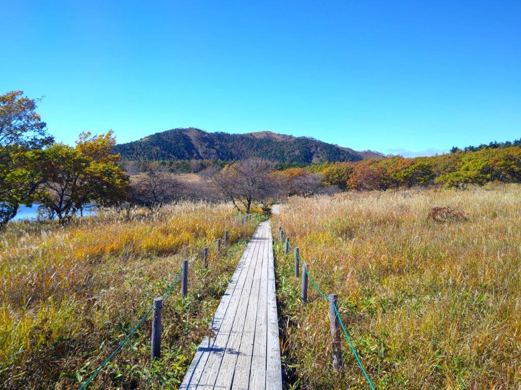
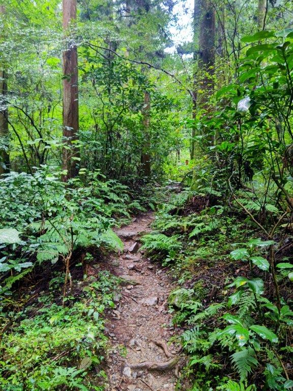
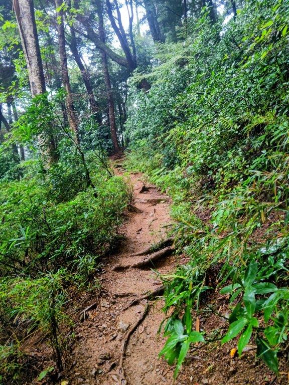
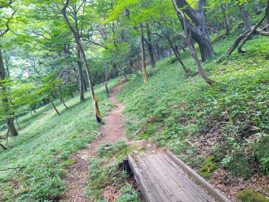
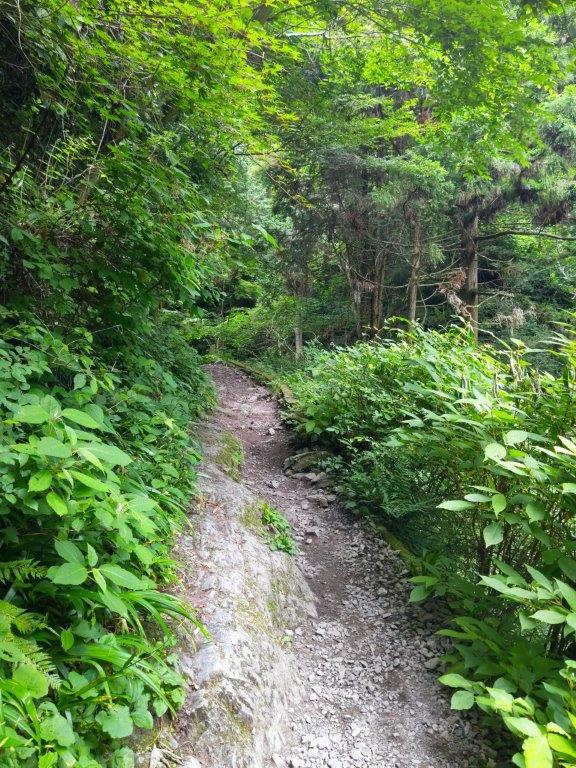
I was stunned by the bird’s eye view of the rusty red marsh. I hurried down the same way, feeling warm under the midday sun, and was soon back on the marsh-side walkway. After passing Kama and Oni-no-sensui Ponds, I reached an open area with a view of the entire marsh, as well as the rolling hills of Kuruma Highland in the background. At 1h30, I turned left onto a hiking trail, leaving the marsh behind. After a short climb, I reached the trailhead for today’s second peak.

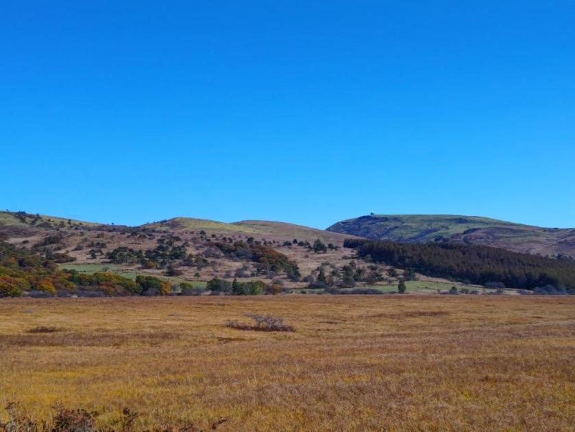
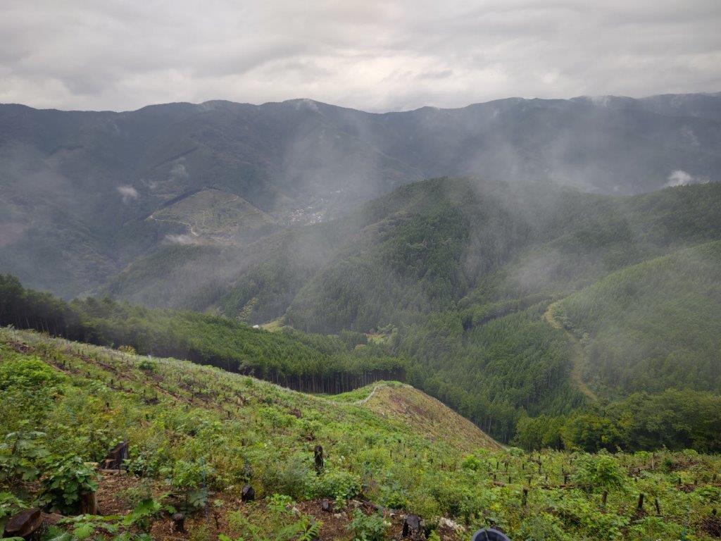
Yashima-ga-Hara Marsh and Kuruma Kogen
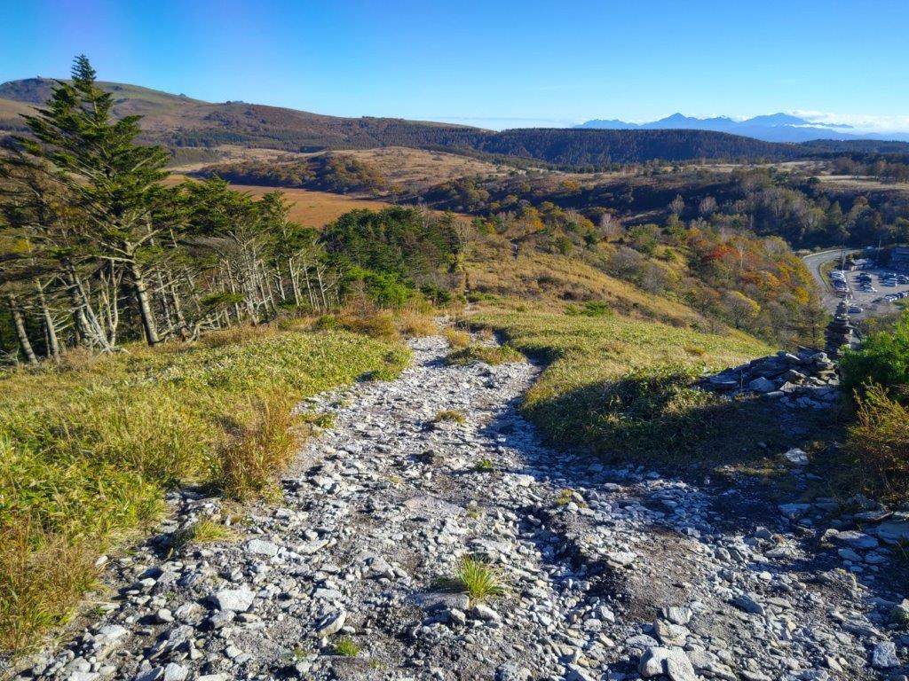
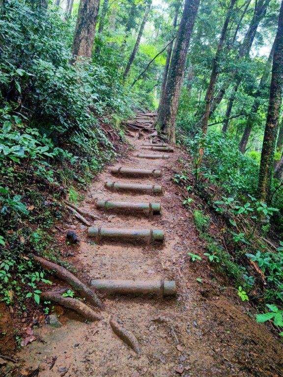
Start of the Hike for Mt Washi
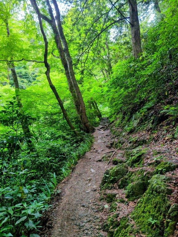
I was surprised by the alpine beauty of the surrounding landscape as I made my way up the rocky path though pines, especially since I was on a day trip from Tokyo. Very soon, I had another bird’s eye view of the marsh, this time with the highest peaks of the Yatsugatake range visible in the background. To its right was the Yashima Visitor Center, and looming up directly behind it, was the outline of the South Alps, now nearly completely free of clouds.

View of Yashima-ga-Hara Marsh from the Mt Washi Trail

The Yashima Visitor Center and the South Alps
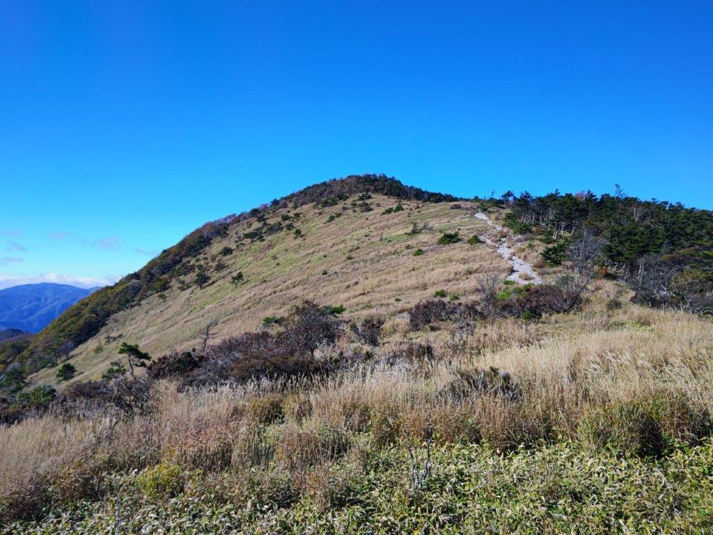
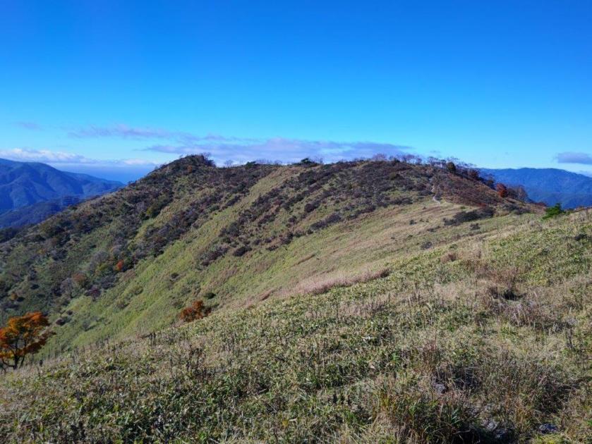
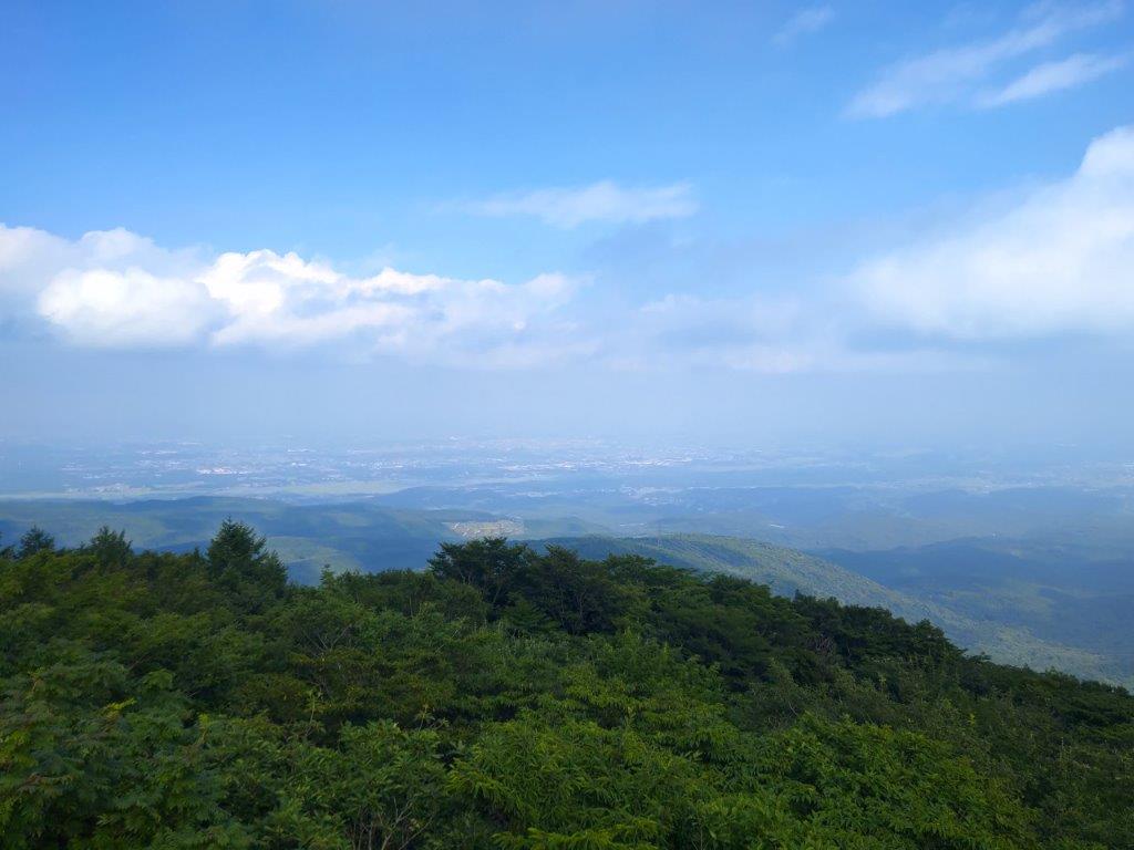
It was short but pleasant hike along the top ridge with sweeping views on both sides. Shortly after 2pm, I arrived at the summit of Mt Washi (鷲ヶ峰 わしがみね washigamine). The name could translate as “Eagle Peak” and the panorama certainly made me feel like an eagle soaring high in the sky. Looking north, I could now see the rounded top of Mt Asama, as well as the flat top of Mt Arafune; westwards, in addition to Utsukushigahara, I could also see Mt Hachibuse, and in the far distance, poking out of the clouds, Mt Hotaka, Mt Tsurugi and Mt Shirouma, three famous peaks from the North Alps.

Mt Tateshina from the Mt Washi Trail

Ridgeline leading to Mt Washi
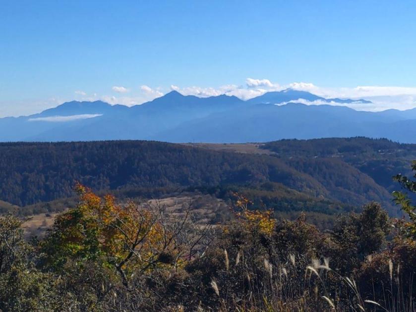
Looking south, I was most impressed by the view of Suwa lake with the Central Alps in the background, against the sun so challenging to take in photo. Suwa lake inspired the lake in the Your Name movie so I was glad to see it from above. Between the Yatsugatake range and the South Alps, I was surprised to spot the conical summit of Mt Fuji, rising from the clouds. After a short lunch break, I headed back the same way.

View of Suwa Lake from Mt Washi

Yatsugatake from Mt Washi
Mt Fuji between Yatsugatake and the South Alps
I had fantastic views of the entire range of the Yatsugatake range doing the path in reverse. After one last look at the triangular shape of Yashimagahara Marsh, I made my way down the last part of the trail, arriving back at the Yashima Visitor Center a little before 3h30, well on time for the return bus. One hour later, I was at Suwa station where I could take a foot bath directly on the platform while waiting for the limited express that would whisk me back to Tokyo.
Heading back to the Yashima Visitor Center

Yashima-ga-Hara Marsh and Yatsugatake
This hike took about 4 hours, shorter than expected, giving me plenty of time to enjoy the stunning views. I passed fewer people than expected, maybe because the area is more famous for its spring and summer flowers. I felt lucky with the timing of the Autumn leaves and the excellent weather. I’d like to return to the area in the future to hike more of the ridgeline towards Utsukushigahara, although I’d probably have to rent a car for this.
Watch Video of the Mt Zebra and Mt Washi Hike
Watch the Video of the Hike on YouTube


See a Slideshow of More Pictures of the Hike


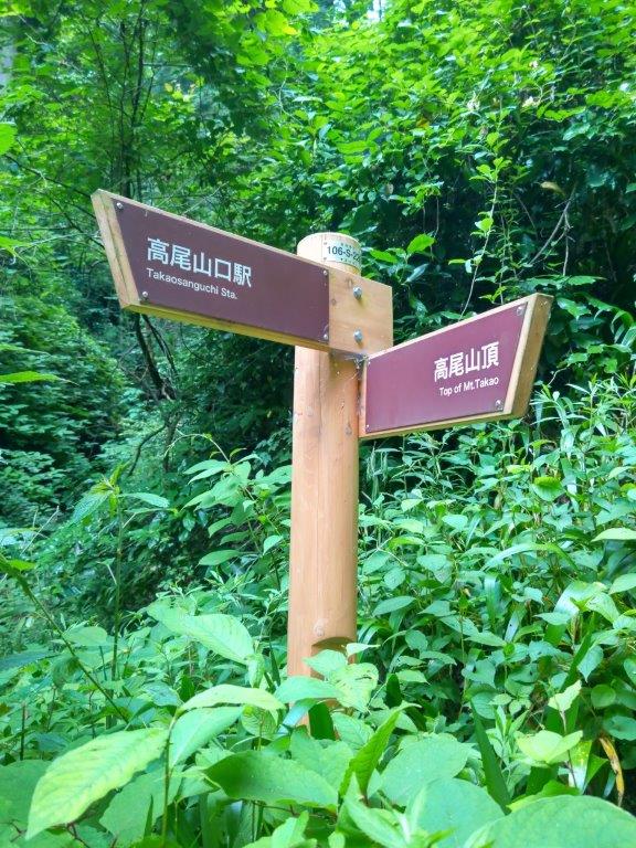
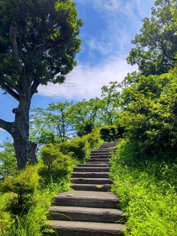
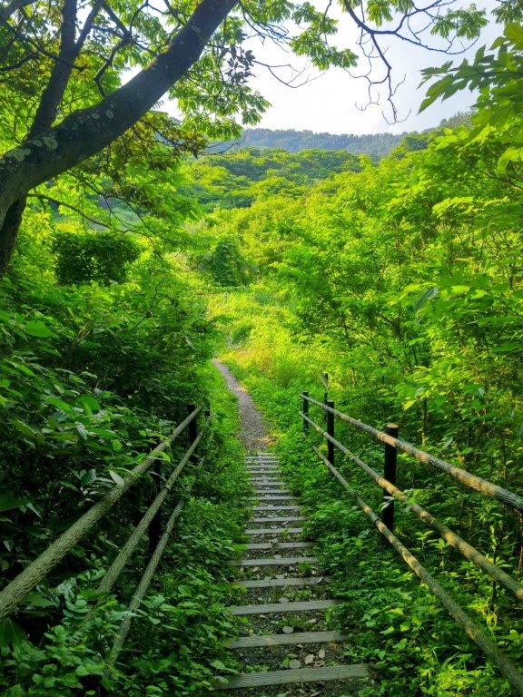
![Mt Takao (599m), Hachioji City, Tokyo Prefecture, Sunday, October 6, 2024 [Iroha & Katsura Forest Trails]](https://hikingtokyo.com/wp-content/uploads/2024/11/dsc_11282.jpg?w=1024)


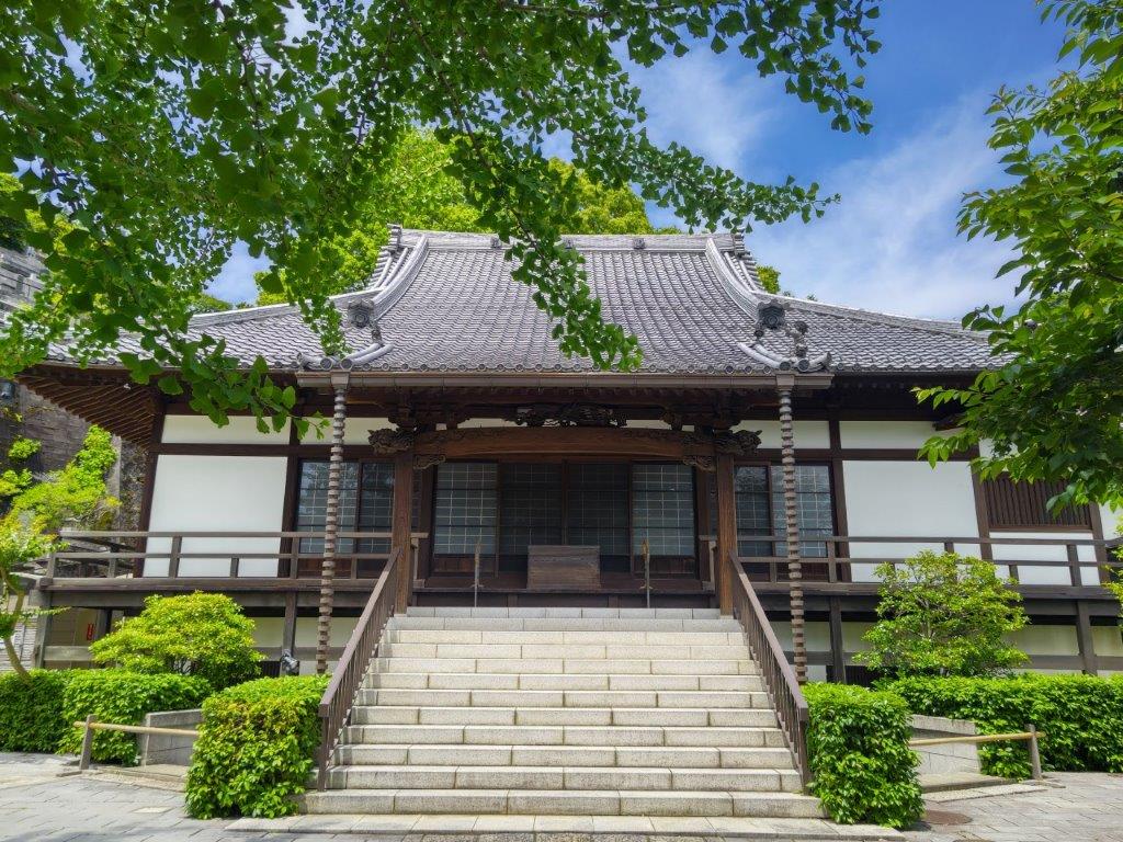
![Mt Ogusu (241m), Yokotsuka City, Kanagawa Prefecture, Saturday, June 1, 2024 [Shonan International Village Route]](https://hikingtokyo.com/wp-content/uploads/2024/06/dsc_0262.jpg?w=1024)


You must be logged in to post a comment.