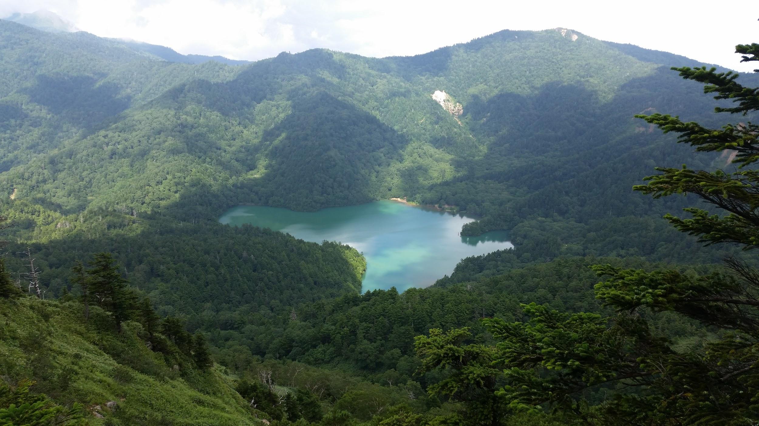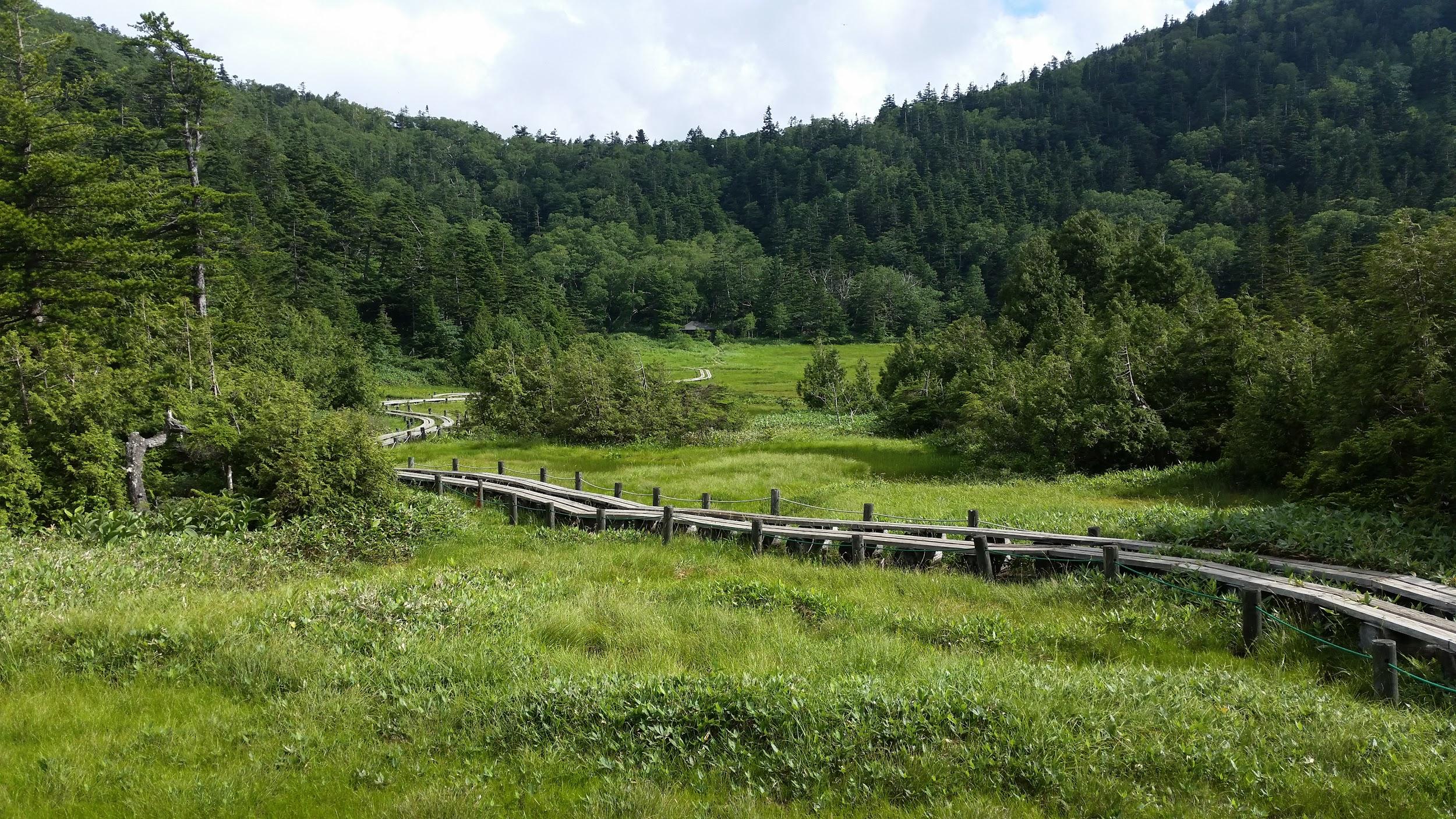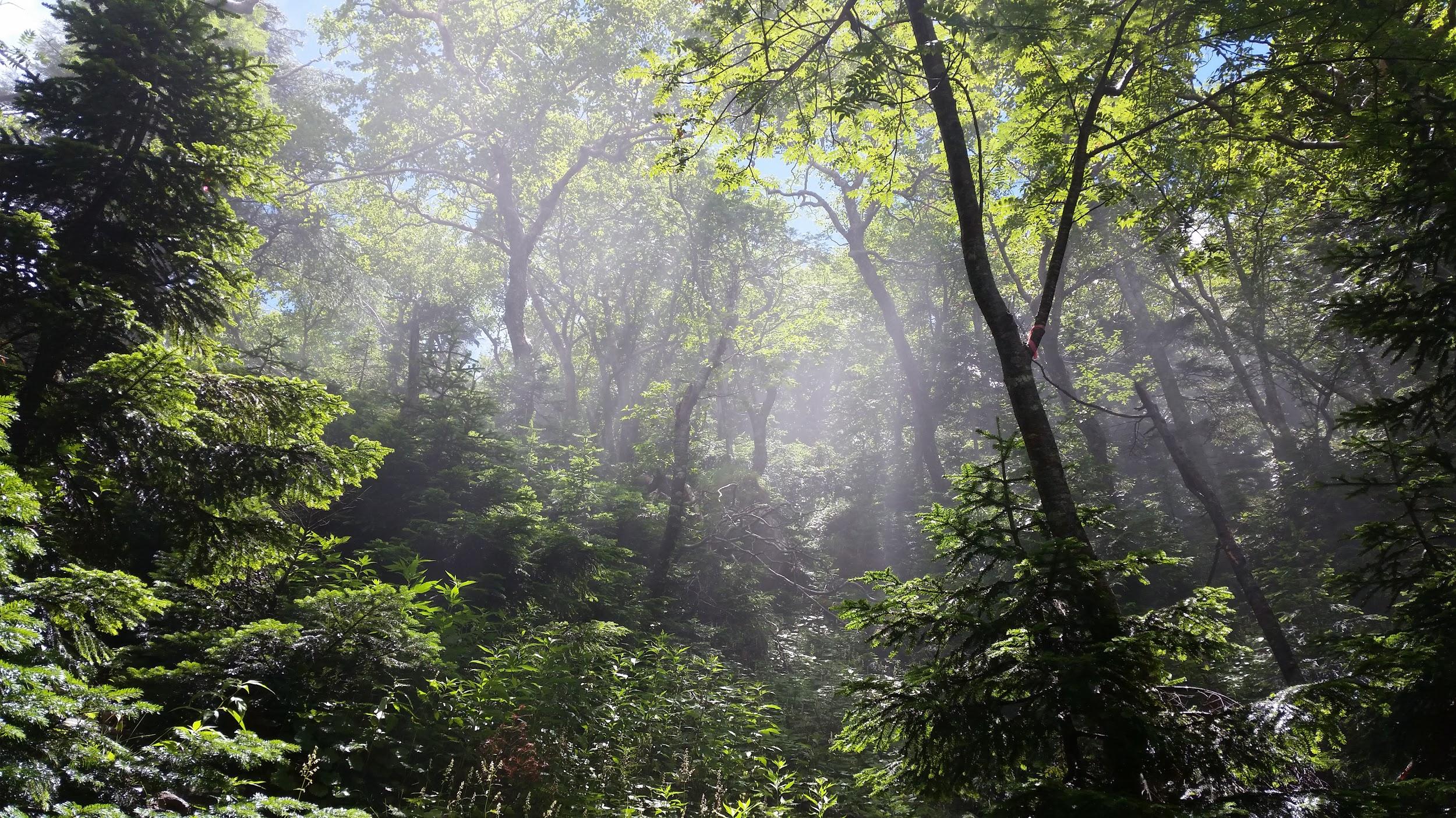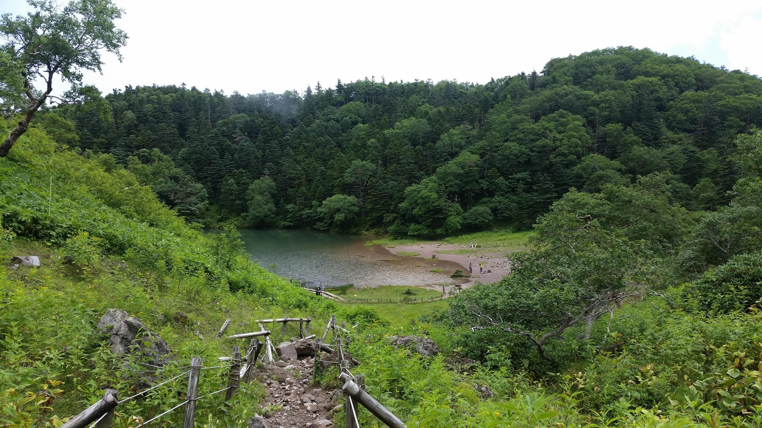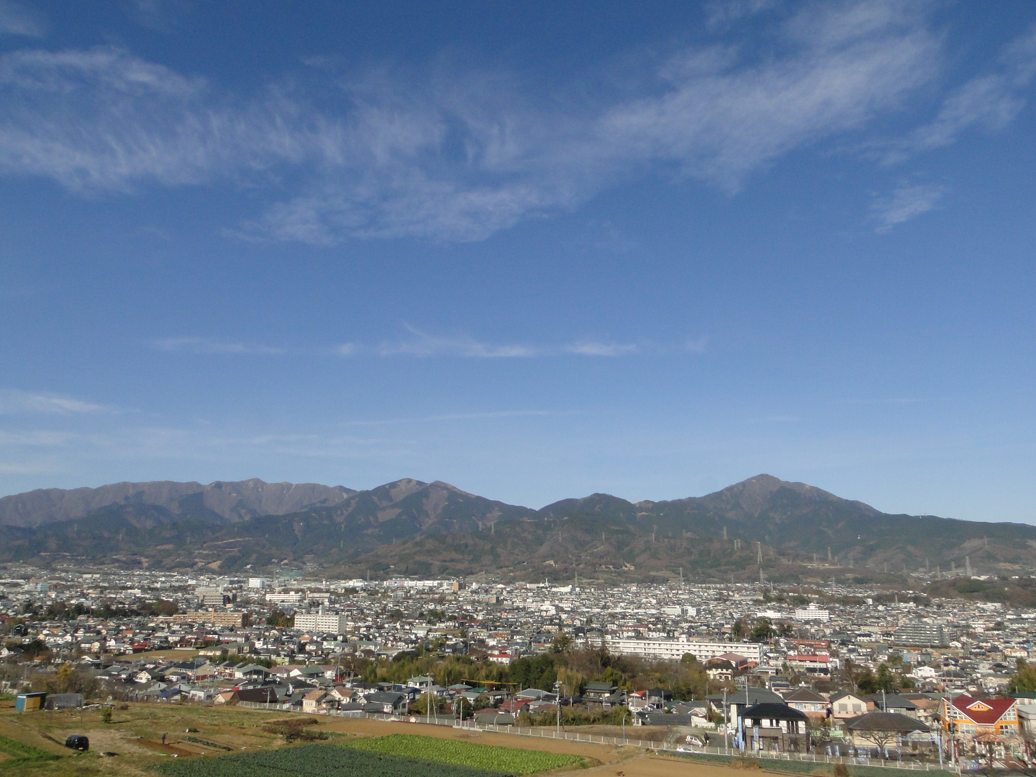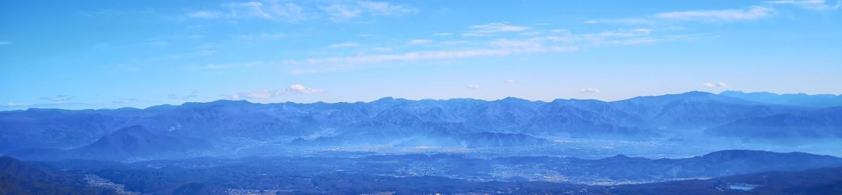
Mt Nemoto (1199m) & Mt Kumataka (1169m), Kiryu City, Gunma Prefecture

This was my very first visit to Kiryu City – I returned a couple more times last year in the autumn. However I had hiked in the Ashio mountains 足尾山地 several times before. I was again the only person on the bus, and when I got off at the last stop, I was surprised that it cost only 200 yen – probably the cheapest bus ride I’ve ever done in Japan. I had to walk another thirty minutes along the road, but I didn’t mind since it followed the beautiful Kiryu river.

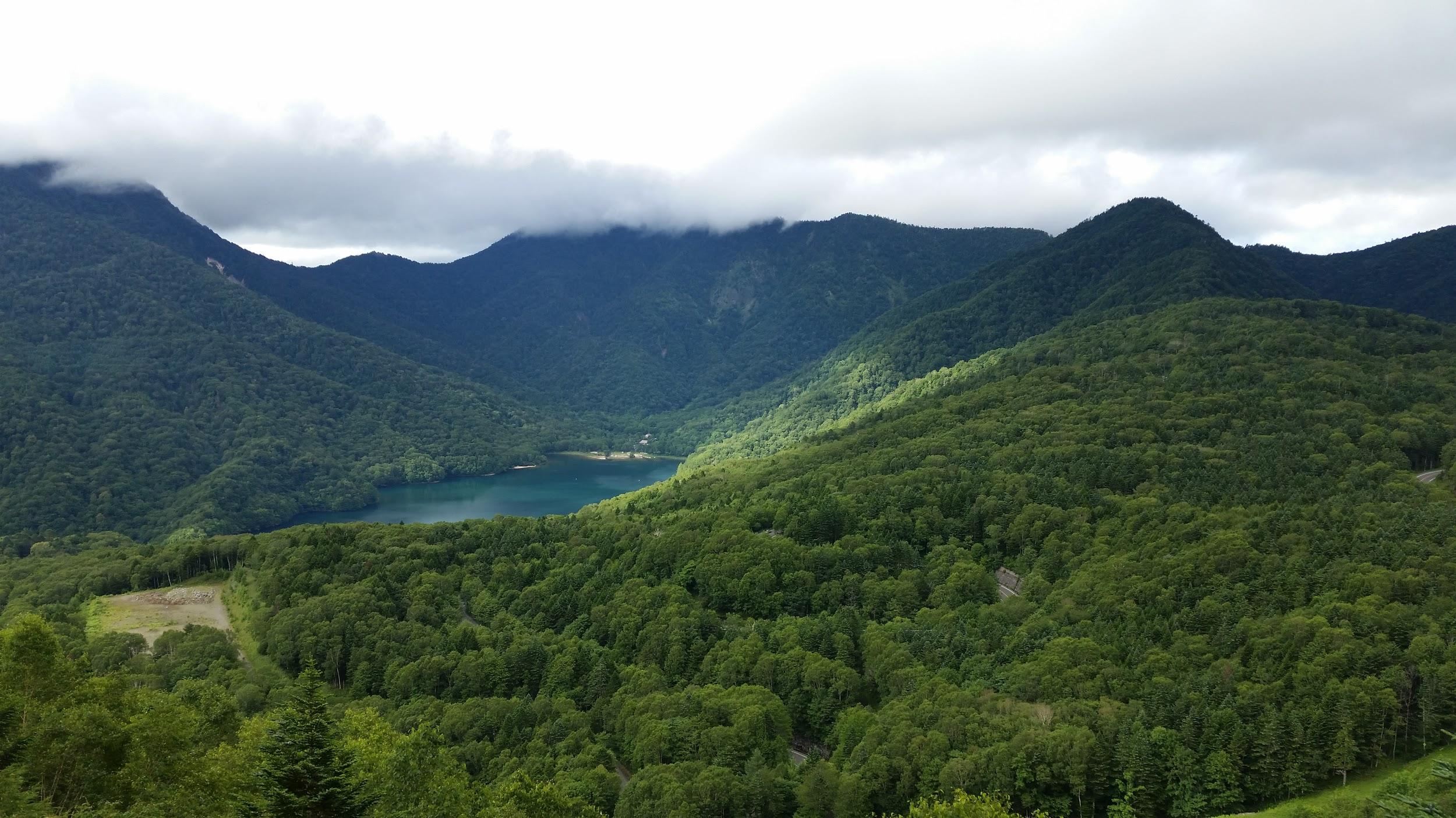
Kiryu river, one of the top 100 forested valleys in Japan

I reached the start of the trail around noon – there was a well-made sign in Japanese and English explaining that the Kiryu River had been selected as one of the top 100 forested valleys in Japan – I wasn’t aware that such a list even existed! There are two trails up the mountain – the one on the left follows a small mountain stream, and is more challenging. I took the more direct trail going up the ridgeline. This trail had its share of fun, with rocky sections lined with ropes for safety – it’s not really dangerous, but it isn’t for beginners either.

The autumn colours made up for the gloomy weather

The autumn colours were still at their peak, and a little before 1h30, I reached the top of Mt Nemoto 根本山 (meaning “tree root”), a Gunma 100 famous mountain. There was no view, but there was a brand new sign. The weather had been sunny and cloudy all morning, but now it was completely overcast, with a cold wind. It felt like it might snow at any moment.

Mt Akagi, looking somber

I continued along the ridgeline, circling the source of the Kiryu river, clockwise. Soon, I was walking South along an easy trail, and I arrived at Mt Kumataka 熊鷹山 less than an hour later. There was a small observation tower with a 360° view of the surrounding mountains. I could make out Mt Koshin and Mt Kesamaru to the North, where there was some sun, and Mt Akagi under a dark cloud to the West. In the East, it seemed like it was raining.
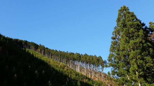
Trees marching up the side of the mountain – blue skies returned at the end of the hike

After enjoying the view and before my hands froze, I started to head down the mountain. The hiking trail quickly became a forest road, and the sun came out again. Soon, I was walking next to the Kiryu river again under blue skies. I was back at the start of the trail before 4pm, and half an hour later I was riding the last bus back to Kiryu City.

Kiryu river, also one of the 100 top forested water sources

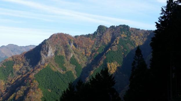
Mt Myoho (1332m), Chichibu City, Saitama Prefecture

The starting point for this hike was Mitsumine Shrine, a place I had visited a few times before, but had never really taken the time to explore. Since today’s hike was relatively short, I first took some time to check out the Mitsumine visitor center, one of the starting points for visiting the Chichibu-Tama-Kai National Park. It was a pleasant surprise – I found the displays of mounted animals and the model relief of the area particularly interesting.

View of Mt Wanakura (also known at Mt Shiroishi and climbed in 2018) from Mitsumine Shrine

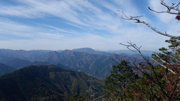
After spending nearly an hour at the visitor center, I hurriedly set off along the hiking path up Mt Kumotori. The autumn colours were at their peak, and since it was a weekday, I had them mostly to myself. Very soon I reached the turnoff for today’s mountain, located on a small ridge branching left off the main ridgeline. In less than an hour, I reached the small shrine at the top of Mt Myoho (妙法山ヶ岳), from where I got some great views of Oku-Chichibu, with Mt Ryokami in the center.

View of the jagged peak of Mt Ryokami from the summit

After lunch, I headed back to the shrine, and since it was still early in the day, I took some time to check out the shrine grounds – it was beautiful with all the autumn colours. At the back, there was a spectacular view of the mountain I had just climbed as well as Chichibu city.

Good views from the trail heading down from Mt Mitsumine shrine

Afterwards, I located the hiking path leading down the mountain. Although there were a number of people at the shrine, no one seemed interested in hiking down, so once again, I had the path entirely to myself. Unfortunately, it wasn’t possible to hike all the way down to the train station, and the path ended up on the road, from where I caught an express bus back to Seibu-Chichibu station.

Mt Hakusan (2702m)& Mt Arashima (1523m), Ishikawa and Gifu Prefectures, September 2017 [Maps Available]

Hiking the hundred famous mountains of Japan 日本百名山

Hiking in the Hakusan National Park 白山国立公園

白山 (はくさん hakusan)

荒島岳 (あらしまだけ arashimadake)

Get a map of the Mt Hakusan hike

Get a map of the Mt Arashima hike

These maps were developed for Japanwilds with the Hokkaido Cartographer

Find more Japan hiking maps on Avenza

Top of Mt Arashima from the Nakande trail

View towards Gifu from Midori Pond

See the Sunset & Sunrise from Mt Hakusan and the dragonflies of Mt Arashima

Mt Yokote (2307m) & Mt Shiga (2037m), Yamanouchi Town, Nagano Prefecture

I did this hike with my mother who was visiting Japan for a couple of weeks. Since it was quite far from Tokyo, we rented a car in Takasaki, and spent the night in a traditional Japanese inn, or “ryokan”, in Kusatsu Onsen. The next morning was sunny, but by the time we had made our way all the way up to Yugama Lake 湯釜 the clouds had rolled in. We admired the light blue colour of the crater lake, but gave up on climbing Mt Kusatsu-Shirane. I had climbed it before in the clouds, and had little interest in doing it again in similar conditions.

A beautiful crater lake

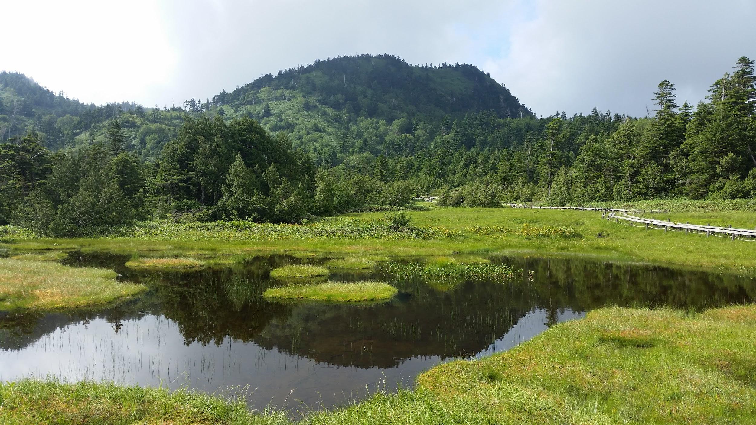
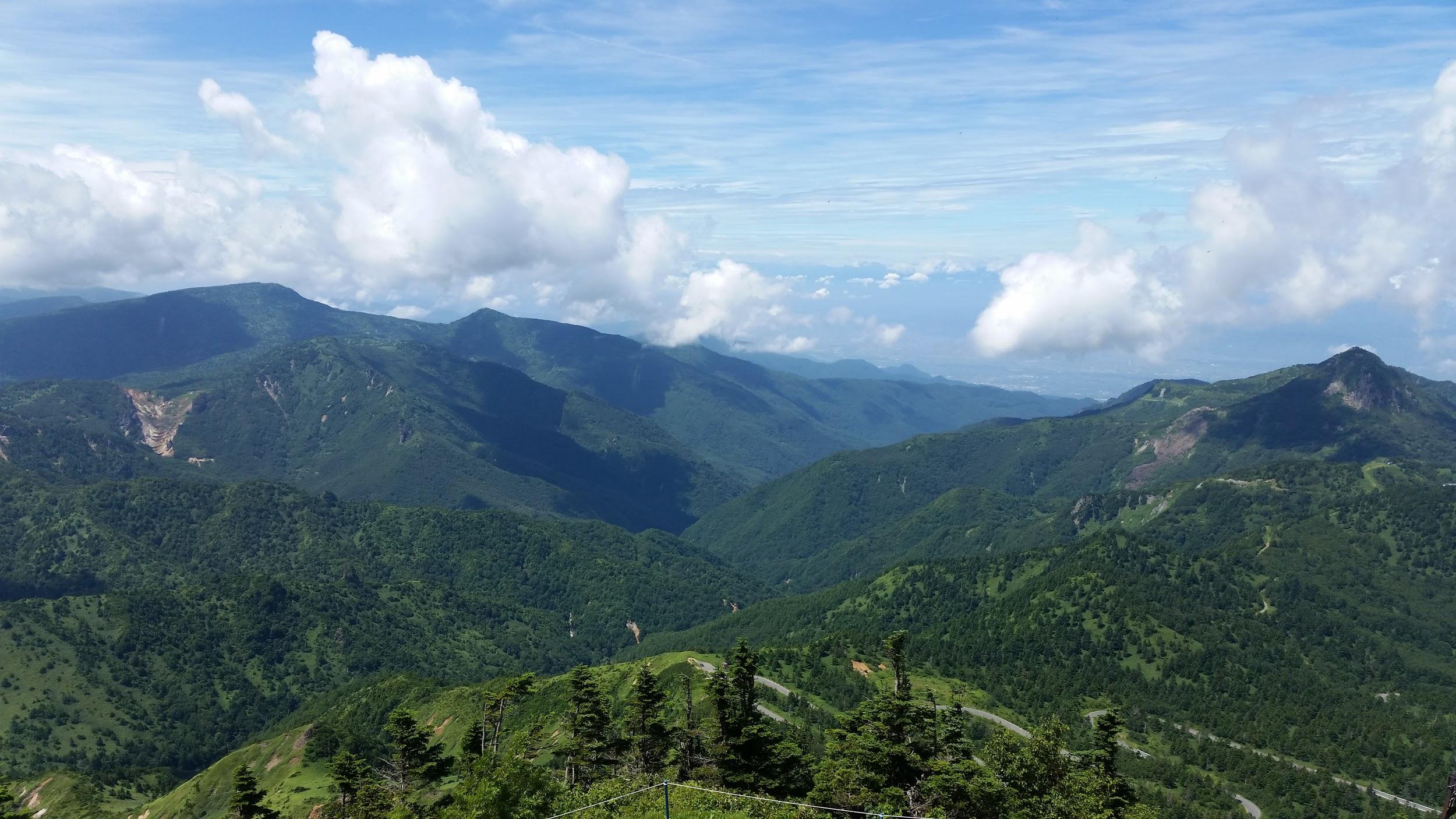
We drove on to Yokoteyama Ropeway which took us to the top of Mt Yokote 横手山. We got some nice views of Shiga Highland 志賀高原. Fortunately, the Nagano side was still free of clouds. We finally arrived at Kumanoyu (meaning the bear’s bath) where we left the car. We were now firmly inside Nagano prefecture. Another short ropeway took up to the start of the hike. Luckily, the weather was holding up. The first part was quite level. At one point the path went through some very high bamboo, higher than our heads, and I was worried about bears. So I reached into my bag to retrieve my bear bell only to realise that I had left it in the car!

View from the top of Mt Yokote

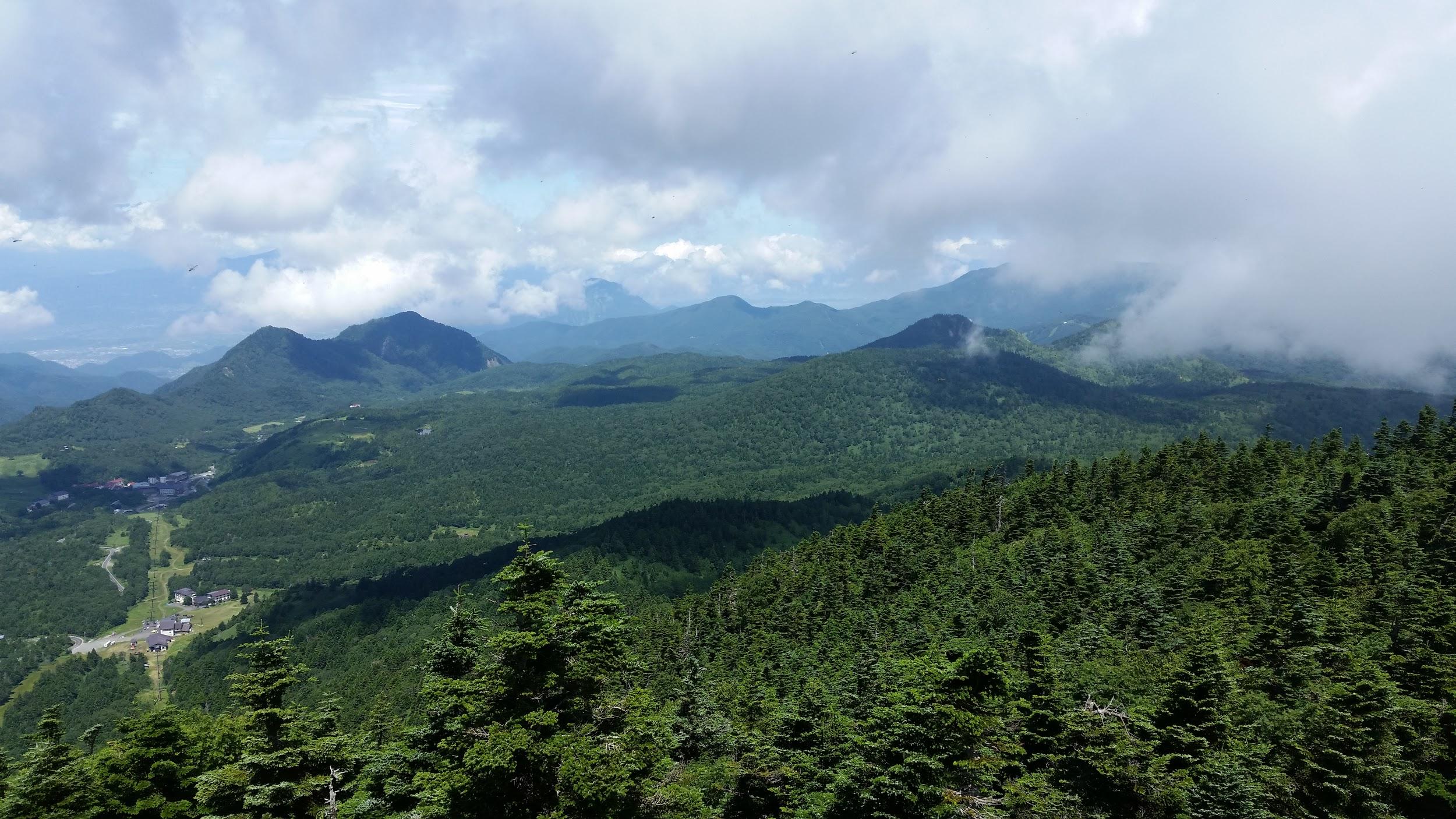
Soon the path started to climb. It was steep, with big rocks and protruding tree roots, making progress slow. The path slowly wound up the side of the mountain. We saw few people, and thankfully no bears. We reached the top of Mt Shiga 志賀山 just before 2 pm. A little way past the summit, there were some good views of Onuma-ike Lake below. The whole hike is inside the Joshin Etsu Kogen National Park and is very wild and beautiful.

The area of our hike – Mt Shiga is in the clouds on the right

We climbed down via a different path, spotting various small ponds on the way. Finally, after passing through a shinto gate or “torii”, we reached the base of the cone-shaped Mt Shiga. The next part involved walking along an elevated walkway through marshlands – much easier than the rocky path down the mountain! The final part back to the ropeway was along a wide and level path through the forest.

Onuma Lake in the middle of Shiga Highland

Since it was getting late, we decided not to take a bath at Kumanoyu, and leave right away. No sooner had we set off, that a dark shadow dashed across the road – it was a bear cub. It disappeared into the bushes opposite. We waited a bit for a mother bear, but she was nowhere to be seen. In any case the place certainly deserves its name!

Elevated walkway through the marshland 

On the way back, we stopped briefly for some photos at the marker for the highest national road in Japan at 2172m high. The drive down to Kusatsu onsen was through thick mist. We had a bath at the Sainokawara open-air bath, one of the biggest in Japan. After we were done, it started raining really hard, but we managed to get back to Takasaki safe and sound, a little after nightfall.

Hiking up and down Mt Shiga

Nikko-Shirane Ropeway & Goshiki-Numa Lake, Katashina Town, Gunma Prefecture

I did this hike with my mother who was visiting Japan for a couple of weeks. Since it was quite far from Tokyo, we spent the night at the Takasaki Dormy Inn Hotel, and the next morning, I drove to the Nikko-Shirane Ropeway. Even though it was a weekday, I was surprised by how few people there were, especially since it was the middle of the summer holidays. The place is mainly a ski resort in the winter so perhaps people aren’t aware that it also runs from June to October. I love ropeways and I keep on discovering new ones – it’s amazing how many there are in Japan!

Sun shining through the forest

At the top of the ropeway, inside Nikko National Park and nearly 2000m high, the visibility wasn’t the best, and the views were a little disappointing. At least it was cooler than down in the valley. The hike started out on a fairly level trail through beautiful forest. After an hour or so, we had to climb steeply for a short while to reach the edge of a pond. Here I was able to look up towards the top of Mt Nikko-Shirane. I had been hoping to get my revenge, since it was in clouds when I climbed it several years ago. However, the top was in the clouds again, and another ascent seemed pointless.

Midaga Pond near the top of Mt Nikko-Shirane

We continued a little further and reached the edge of a crater with at the bottom, the beautiful Goshiki-Numa lake 五色沼 (which means five-colour lake). Since we had enough time, I decided we could descend to the shore of the lake and climb back up again. Unfortunately the descent was steep and rocky, and we regretted it a bit.

The Goshiki-numa lake, inside Tochigi prefecture

After enjoying the peace and quiet of the lake, we made our way back up to the edge of the crater via a different path, and then walked back the way we had come. At the pond, we passed a group of noisy school children who had come up a different path. We headed back down the steep path to the forest below, and at the bottom we took another trail that looped back to the top of the ropeway.

View of Maru-numa lake from the ropeway

Check out the views of Nikko-Shirane

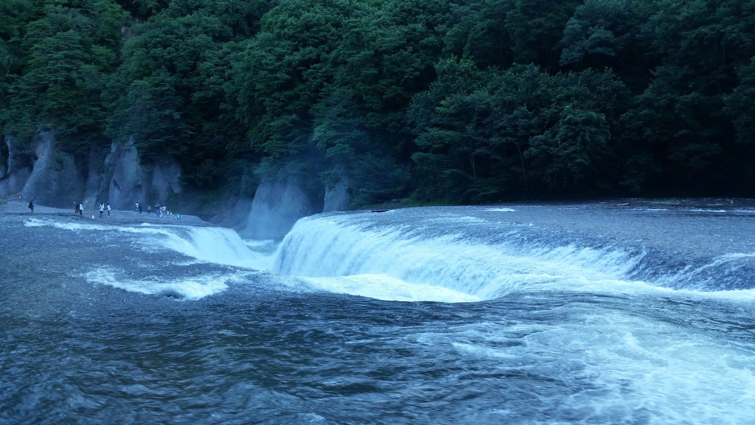
On the drive back to Takasaki we stopped at the very impressive Fukiware Waterfalls 吹割の滝 where we could walk along the river and the falls for a short way.

Where is all the water going?

Check out one of the famous waterfalls in Japan

Mt Kiso-Koma (2956m), Komagane City, Nagano Prefecture, Wednesday, August 2, 2017 [Map Available]

Kiso-Komagatake 木曽駒ヶ岳 (きそこまがたけ)

Hiking the Japan Hundred Famous Mountains

Download a map of Mt Kiso-koma

This map was developed for Japanwilds with the Hokkaido Cartographer

Find more Japan hiking maps on Avenza

Hiking through Senjojiki Cirque

Mt Norikura (3026m), Takayama City, Nagano Prefecture, Tuesday, August 1, 2017 [Map Available]

Hiking in the Chubu-Sangaku National Park

中部山岳国立公園

Hiking Japan’s hundred famous mountains

Download a map of Mt Norikura

This map was developed for Japanwilds with the Hokkaido Cartographer

Find more Japan hiking maps on Avenza

Kengamine, the highest point of Norikura-dake

See Zengoro Waterfall in the foothills of Mt Norikura

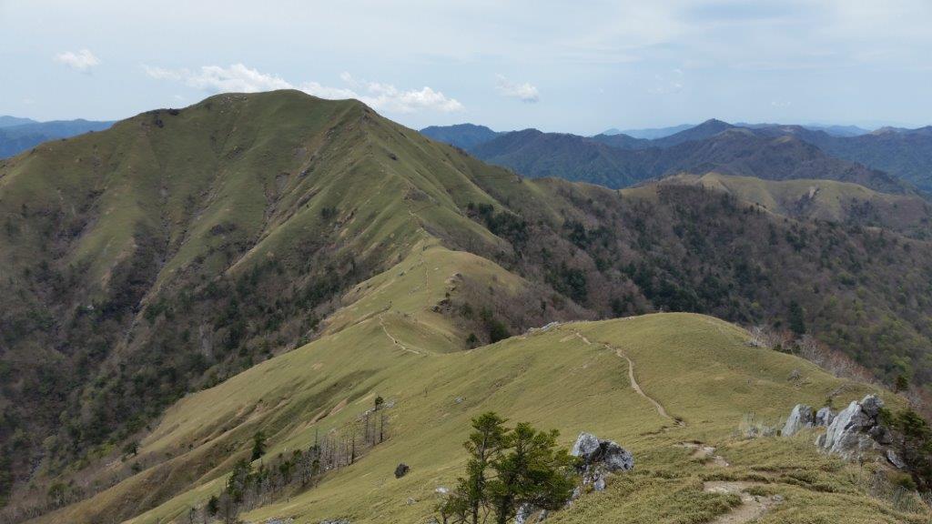
Mt Tsurugi (1955m) & Mt Ishizuchi (1982m), Miyoshi & Saijo Cities, Tokushima & Ehime Prefectures, May 2017 [Maps Available]

Hiking the hundred famous mountains of Japan 日本百名山

Hiking in Shikoku 四国

剣山(つるぎさん tsurugisan)

石鎚山 (いしづちさん いしづちさん ishizuchisan)

Hiking on Mt Tsurugi

Get a Map of the Mt Tsurugi Hike

The summit of Mt Ishizuchi

Get a Map of the Mt Ishizuchi Hike

These maps were developed for Japanwilds with the Hokkaido Cartographer

Find more Japan Hiking Maps on Avenza

See the views of the Mt Tsurugi hike

See the views of the Mt Ishizuchi hike

Where to hike in the winter? Part II Tokyo & Saitama Prefectures

Next up is a list of low-altitude snow-free winter hikes in the areas to the West of Tokyo, mostly in the foothills of the Okutama and Chichibu mountains. Saitama especially has a multitude of short hikes that are suitable for the short cold winter days and this list is by no means complete.

Mt Takao 高尾山, Tokyo Prefecture

No need to introduce Mt Takao 599m – if you haven’t climbed it, head there first. You can go up one of the several direct routes, or one of the longer hikes circling North or South around the top of Mt Takao. The adventurous can continue West from the summit to Mt Kagenobu and even Mt Jimba (be prepared for some snow in that case).

PROS: Lots of trails to choose from, station to station hiking,  lots of temples to check out

CONS: Crowds (especially school children), path erosion, somewhat cliche

Ome hills hiking trail 青梅丘陵 ハイキングコース, Tokyo Prefecture

These unassuming hills on the Eastern fringes of the Okutama moutain range follow the Ome line between Ome 青梅 and Ikusabata 軍畑 stations, climbing gradually to the highest point, Mt Raiden 雷電 at 494 meters. Since most of the trail is in the forest it can be a bit boring but it does make for a great workout and it is good for trail running if that is your thing (just make sure to give priority to the hikers!).  There is a trail to the South of Ome station that would enable one to do a loop but I haven’t tried it yet.

PROS: Station to station hiking, well-worn and relatively easy trail to follow, Karakai castle ruins on the way (just the foundations though)

CONS: Lots of ups and downs, few views (although it’s possible to see the tip of Mt Fuji at one point), sometimes used by trail runners

dsc08130
View North towards Hanno and Okumusashi

Mt Hiwada 日和田山, Saitama Prefecture

Mt Hiwada 305m can be reached on foot from Koma station 高麗 on the Seibu Ikebukuro line (a couple of stops afte Hanno) and belongs to the Okumusashi area 奥武蔵 which is a kind of prelude to the Chichibu area 秩父. There are several paths going up and down and a small shrine on the top. It’s possible to follow the trail beyond the summit which leads to other minor peaks and a lake. My recommendation is to head to Mt Monomi 物見山 and then back the same way

PROS: Station to station hiking, good views of the Kanto plain and Mt Fuji from the top, length can be adjusted

CONS: Some road walking from the station, hike is on the short side unless one extends to Mt Monomi, Hiwada part can be a little crowded

dsc00407
Mt Fuji from the shrine near the top of Mt Hiwada

Yugate ユガテ and Mt Ogami 越上山, Saitama Prefecture

Yugate 290m, less than an hour from higashi agano station 東吾野, consists of 2-3 houses and some fields in the Okumusashi hills. There are a couple of benches and it makes a nice spot to stop for a break. Continuing further along a relatively wide and flat path, one eventually reaches Mt Ogami, 566m high. The return is done by heading down the opposite side to the Kuroyama bus stop 黒山 (to Ogose station 越生).

PROS: Easy path to hike, good picnic spot at Yugate, waterfall near Kuroyama

CONS: Some road walking, few views

20160321_160107
Yugate in the spring

The 5 peaks of Kamanosawa 釜の沢五峰, Saitama Prefecture

This is a hike that I have discovered recently in the low hills that cross the wide valley containing Chichibu city, close to Ogano village  小鹿野. The highest point is 590 meters but lying quite a bit inland, a little snow is always a possibility (it was totally snow-free when I did it it January). There are some steep rocky bits (with chains to assist you) so it isn’t recommended for beginners. The views of the surrounding Chichibu mountains are fantastic and there is an interesting rock formation on the way called kamegadake 亀ヶ岳.

PROS: few people, some “exciting bits”, lots of panoramic views

CONS: bus required both ways, somewhat far from Tokyo, caution required along various steep drops along the way

20170128_130506
Kamegadake

The Nagatoro Alps 長瀞アルプス, Saitama Prefecture

Another “Alps”, this time West of Nagatoro station 長瀞 on the Chichibu line, the highest point being Mt Hodo 357m. There is a ropeway, a small zoo and flower gardens (including cherry blossoms). The start point is actually the next stop, Nogami station 野上 but one can also start the hike further North as the there is a path that follows the ridge as it curves to the east following the railway line all the way to Mt Kanetsukido 鐘撞堂山 (incidentally a Kanto hundred famous mountain).

PROS: Station to station hiking, good views of Chichibu, hike can be lengthened or shortened

CONS: Crowds since the top is accessible via cable car, somewhat far from Tokyo, lots of the steps near the top of Mt Hodo

20150412_125606
Stairs leading up to the highest point of the Nagatoro Alps

Where to hike in the winter? Part I Shizuoka & Kanagawa Prefectures

Winter is in full-swing and for those who are averse to hiking in freezing temperatures or snowy conditions, it’s good to know a few low-altitude spots for hiking. So without further ado, here is a list of hikes that I have done during the winter months (December to March) starting with areas South of Tokyo:

Numazu Alps 沼津アルプス, Shizuoka prefecture

With the highest point being 392m and located right next to Suruga bay, it’s safe to say that snow on the Numazu Alps is a rare affair. However the name “Alps” is well-deserved as there are lots of ups and down, some of which are surprisingly steep (nothing technical though).

PROS: Shinkansen Access, Mt Fuji and sea views, hike can be shortened or lengthened

CONS: Transport cost, Crowds (especially closer to Numazu city), lots of ups and downs.

20161210_152009
Looking back at the highest point of the Numazu Alps, Mt Washizu

Mt Higane 日金山, Shizuoka Prefecture

Mt Higane starts at sea-level from Yugawara station and heads inland all the way up to 771m. The latter portions of the trail can have snow but this shouldn’t really be a concern since there are few steep sections. However caution is required when negotiating the icy steps when heading back down to Izuyugawara Onsen 伊豆湯河原温泉, a short bus ride from the station. There is a short cable car near the top of Mt Higane at Jukokkutoge 十国峠 at the bottom of which it is possible to catch a bus.

PROS: Nice Onsen at the end, great views of Mt Fuji,  photogenic stone buddhas

CONS: Start of the trail is not well signposted, some portions are on the road, some snow on the higher portions

dsc07425
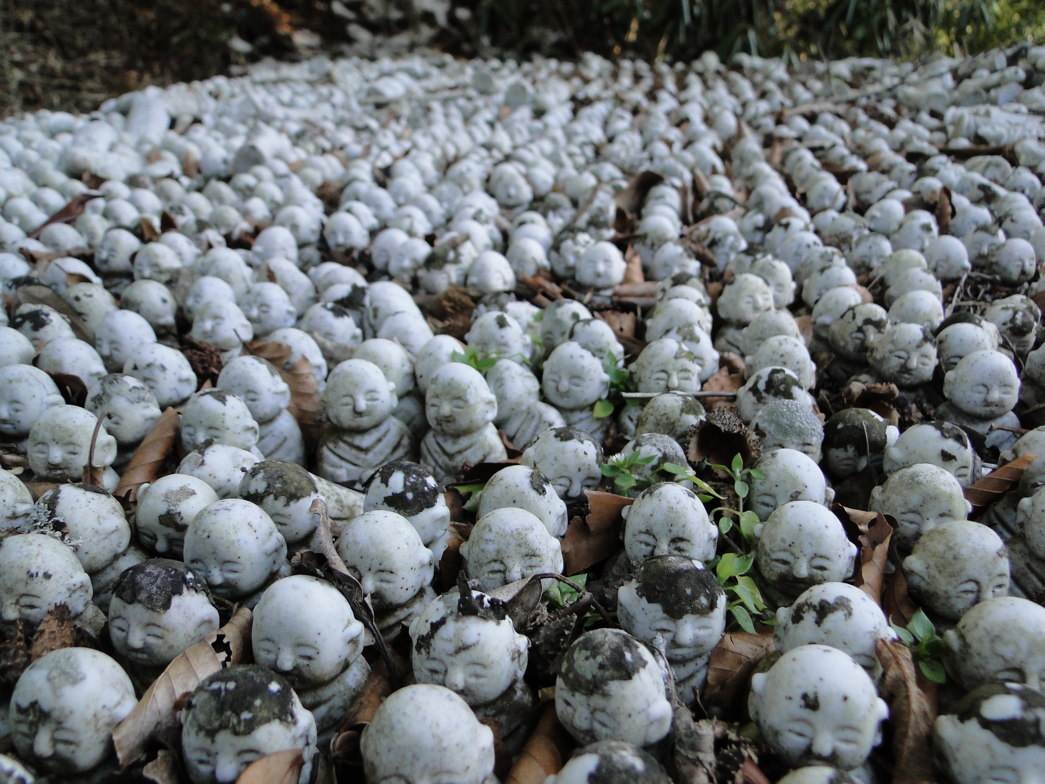
Miniature statues at Toukouji temple near Mt Higane

Mt Nango 南郷山, Mt Maku 幕山 and Mt Shiro 城山, Kanagawa Prefecture

This hike is described in this blog post

These 3 small mountains are located a little North of Mt Higane (described above) in the vicinity of Yugawara station 湯河原. The first 2 are best reached via a short bus ride but Mt Shiro is walkable from the station. They can be done separately or in combination. The highest point is Mt Nango at 610m but since they sit right on Sagami bay, snow is rare.

PROS: Multitude of paths, plum blossoms in February and March, good lunch / break spots at the top of Mt Maku (usually lots of people) and Mt Shiro (less people)

CONS: Crowded bus to the start of the trail during plum blossom season, trail up Mt Nango a little difficult to find, some road-walking when doing Mt Shiroyama

Mt Ogusu 大楠山, Kanagawa Prefecture

Mt Oogusu’s is known as the highest point of the Miura Peninsula 三浦半島 (due South of Yokohama) at 241m. It also happens to be a Kanto hundred famous mountain. So that’s already two good reasons to climb it!

PROS: Observation tower on the top, the lower part is along a river, can be done as a loop hike or a traverse from Kinugasa Station 衣笠 on the Yokosuka line

CONS: Not a full day hike (but possible to combine with other peaks on the peninsula), some road walking necessary, closeness to civilisation

20150221_141656
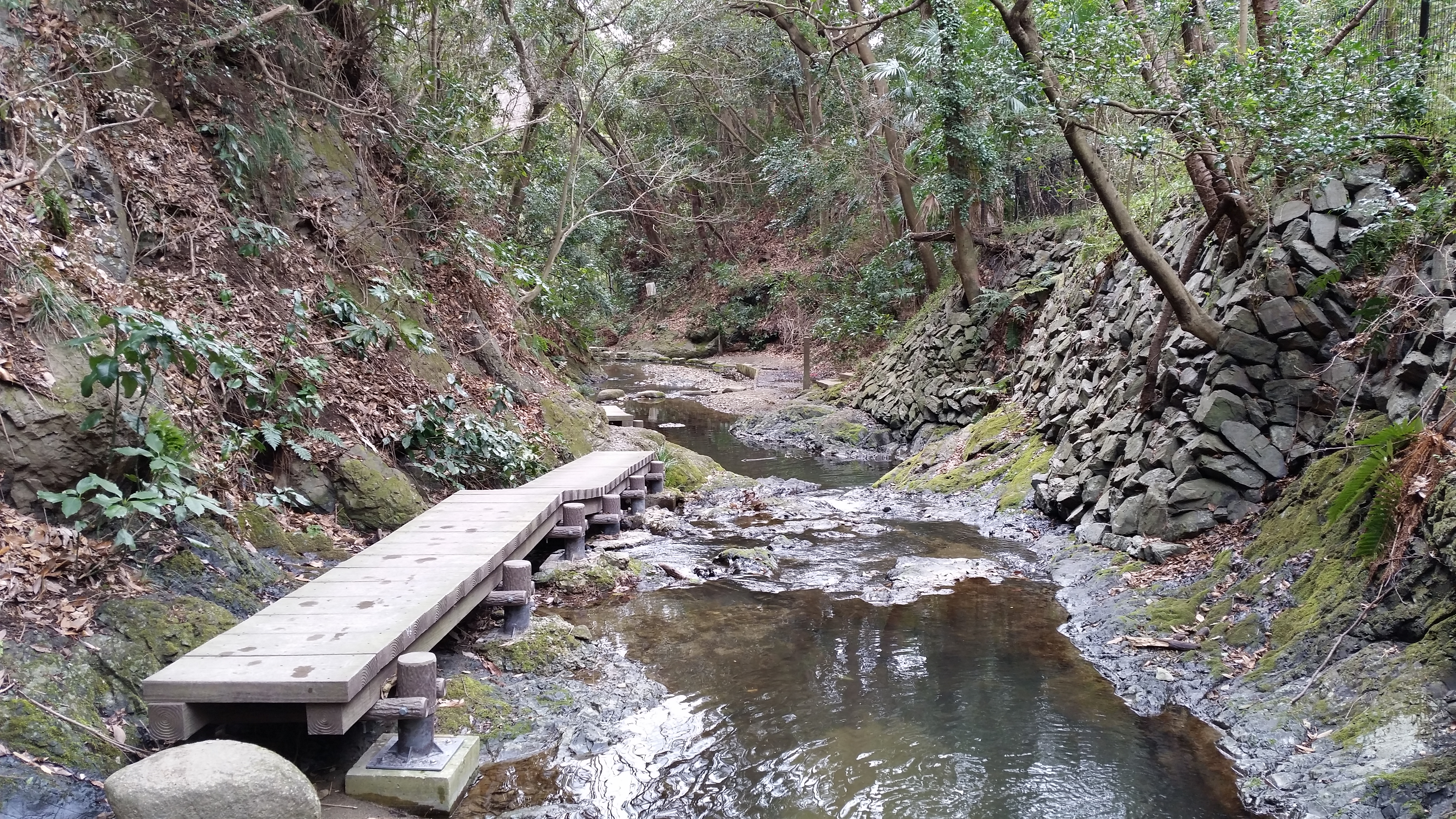
Maeda River promenade at the base of Mt Ogusu

Tenen Hiking Trail 天園ハイキングコース, Kanagawa Prefecture

Topping out at 159m, Mt Oohirayama is the highest point of this trail just East of Kamakura City, and is virtually guaranteed to be snow free throughout winter. The trail is well trodden and most parts are fairly easy making it suitable for beginners. The hike starts and finishes at different temples in the area, accessible from Kita-Kamakura and Kamakura stations.

PROS: Station to station hiking, possible to combine with sightseeing (temples and Daibutsu), views of Mt Fuji and the sea

CONS: Can get crowded, not a full-day hike, surrounded by residential areas

20150513_092923
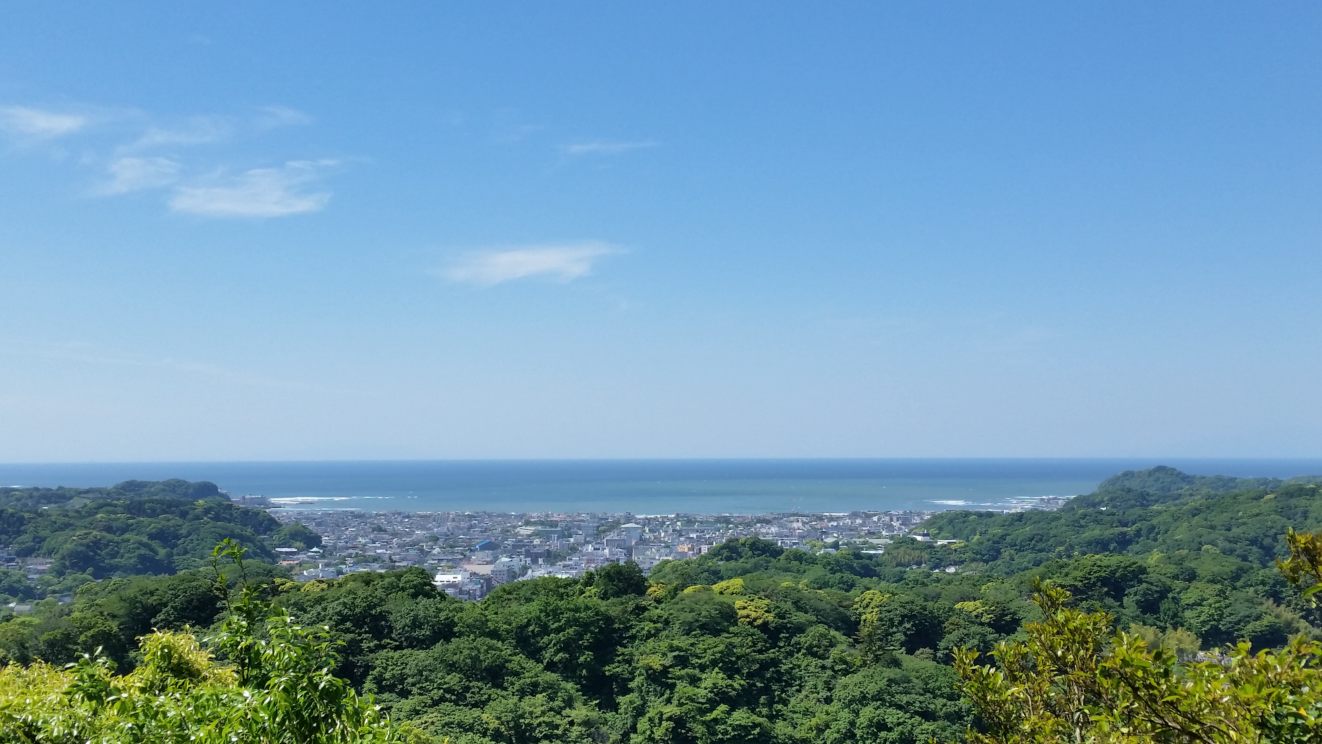
View of Kamakura city and Sagami bay from near the top of Mt Ohira

Mt Zukkou 頭高山 and Mt Koubou 弘法山, Kanagawa Prefecture

Located right between Mt Oyama and the Shonan coast, these low hills make up the southern extremities of the Tanzawa mountain range. The highest point is Mt Zukkou at 303m and the entire trail is should be snow free throughout most of the winter.  The hike starts from Shibuzawa station and ends at Tsurumaki onsen station, both on the Odakyu line. The hike can be split in two at Hadano station.

PROS: Station to station hiking, panoramic views of the Tanzawa mountain range on Zukkou part of the hike, observation tower on the top of Mt Koubou

CONS: Some road walking at the start, poor signposting on the Zukkou side, crowds around Mt Koubou

dsc05672
The Tanzawa mountain range – Mt Nabewari on the left, Mt Tono in the middle and Mt Oyama on the right