

I wanted to do a hike on the Boso peninsula, since winter is the best time for hiking there and my last trip to the area was nearly a year ago. I found a suitable hike in my mountains of Chiba guidebook, close to Kamogawa city on the Pacific Ocean, but accessible from the Tokyo Bay side. I could take the limited express from Akihabara to Hota station, from where it was a short bus ride to the start of the hike; I would return the same way. The weather was supposed to be mostly sunny with mild temperatures, and so I was looking forward to seeing the views of southern Boso and the Pacific Ocean.
The Kanaya bus line between Hota and Awakamogawa station was discontinued in March 2024 and this hike can only be accessed via the less convenient Kizarukamogawa line.

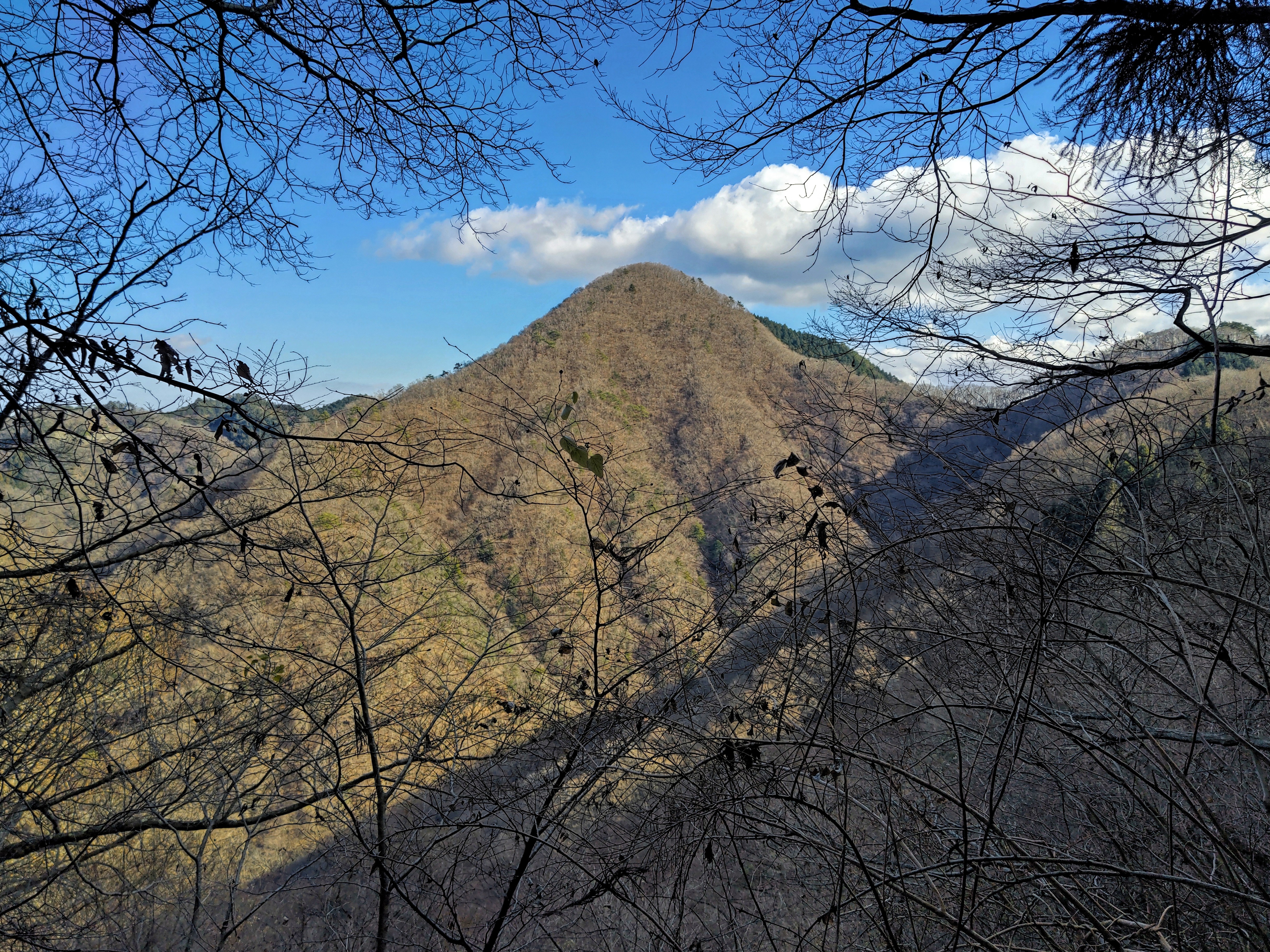
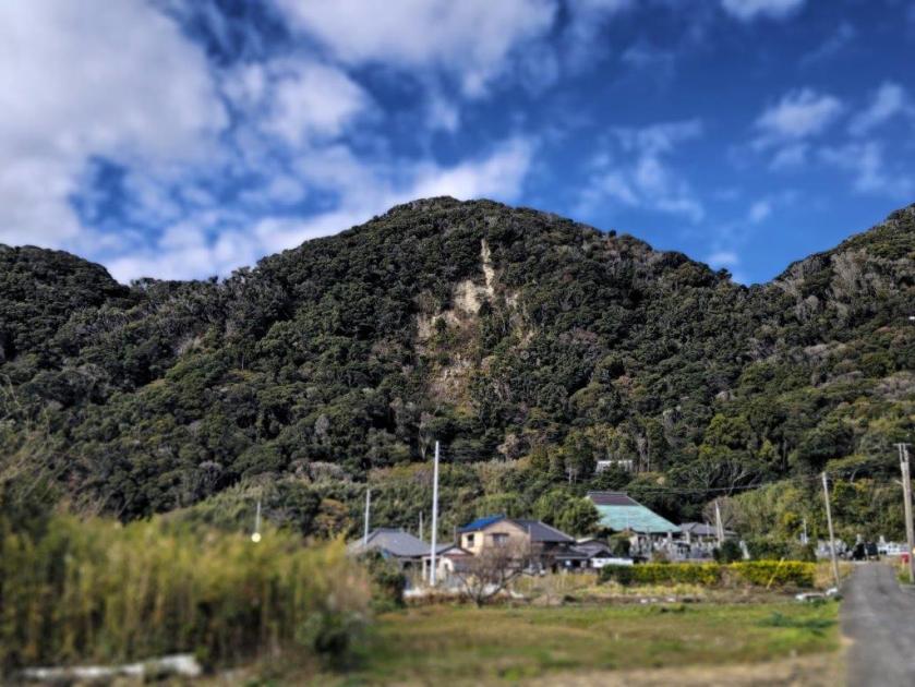
View from Atago Shrine of Mt Atago
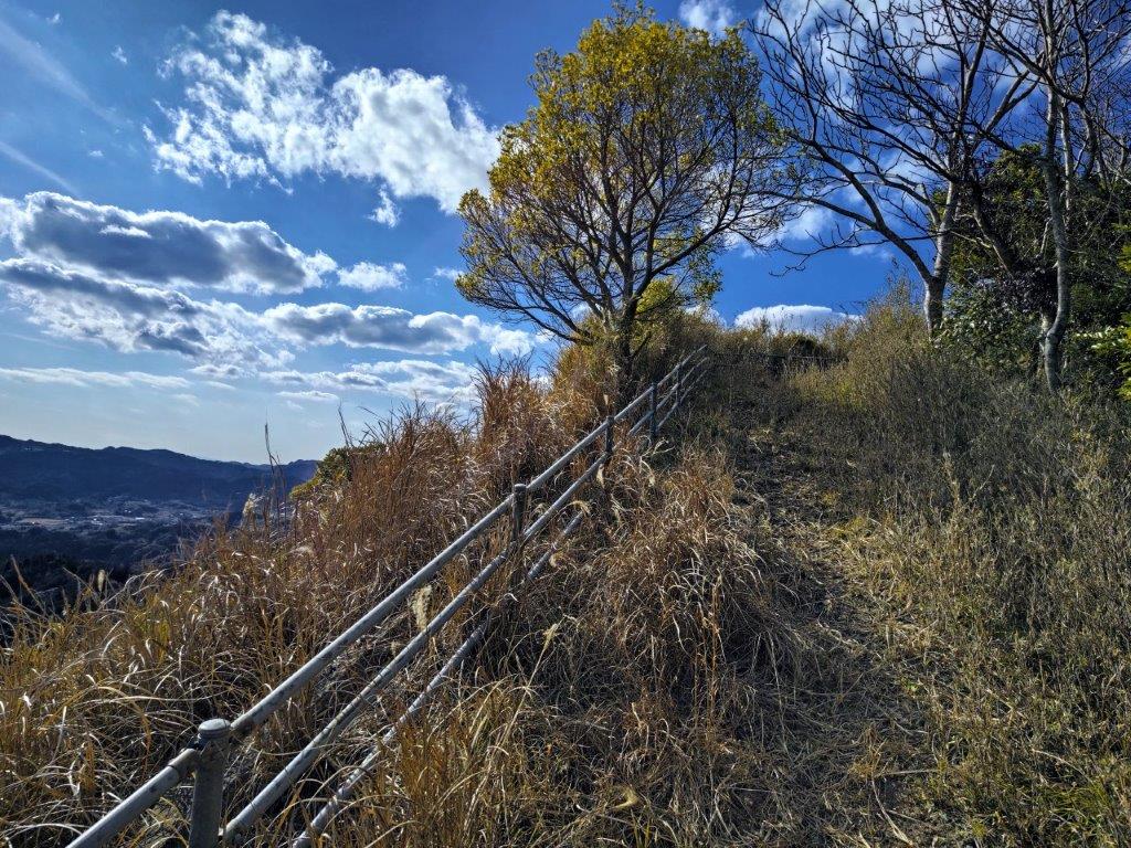
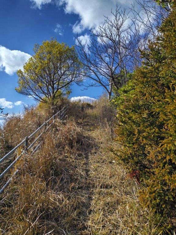
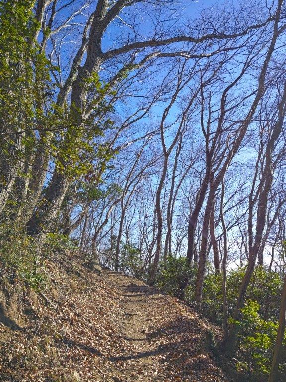
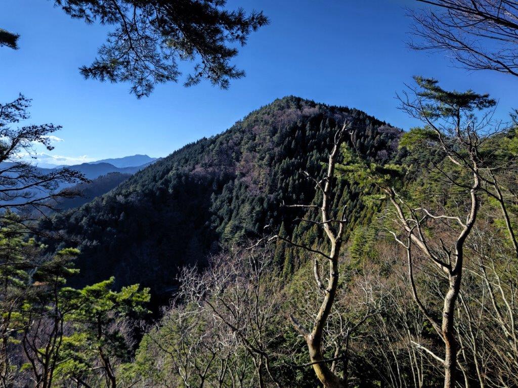
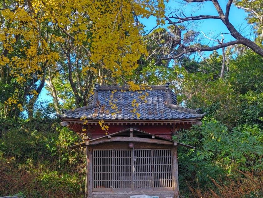
Hiking between Mt Awataka and Atago shrine
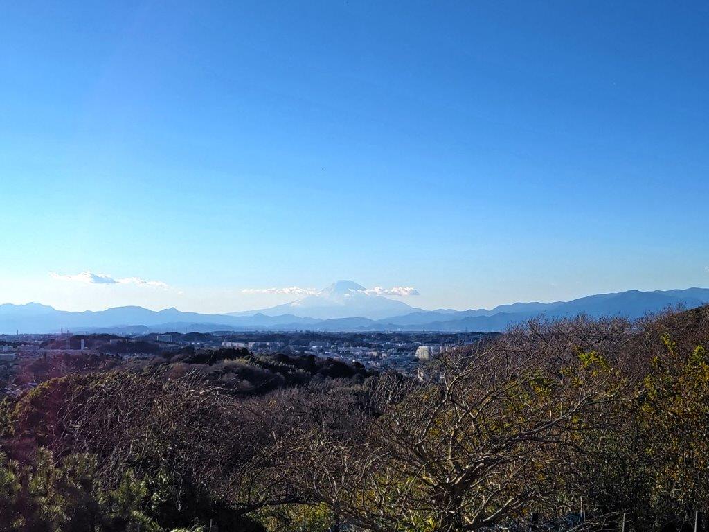
I had a perfect view of Mt Nokogiri under light blue skies, after getting off at Hota station, a little before 10am. I had some time before my bus so I went to check out the view from the nearby Hota Beach: I could see Oshima island and the Miura peninsula, but Mt Fuji was hidden in the clouds. I rode the nearly empty bus to a 7/11 at an intersection, and after getting ready, set off a little after 11am.
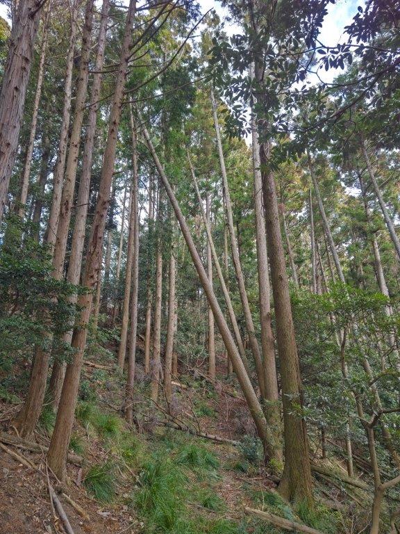

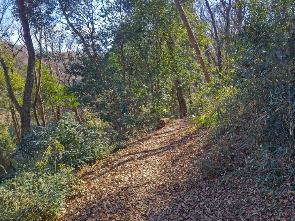
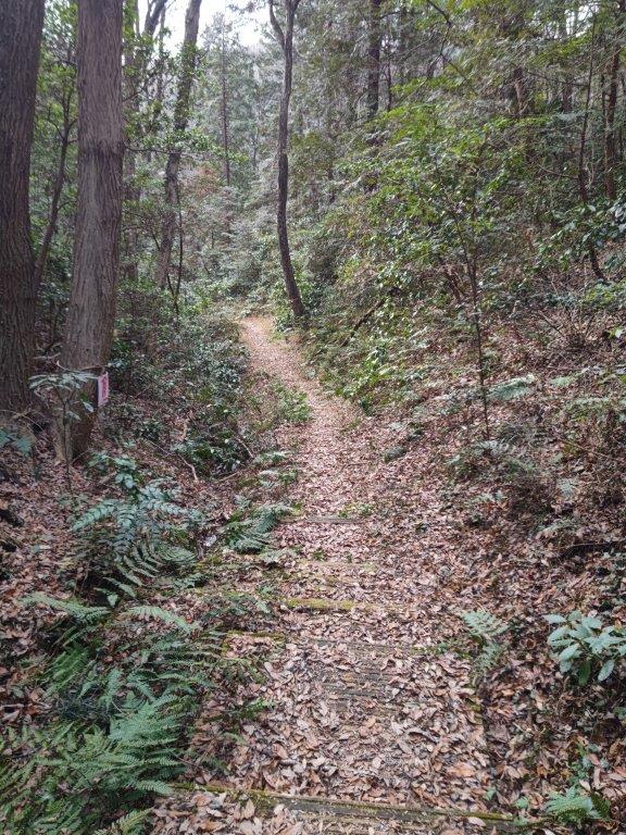
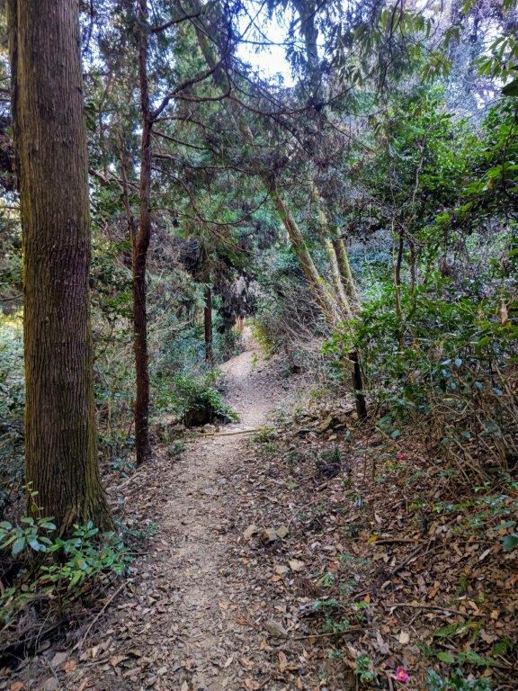
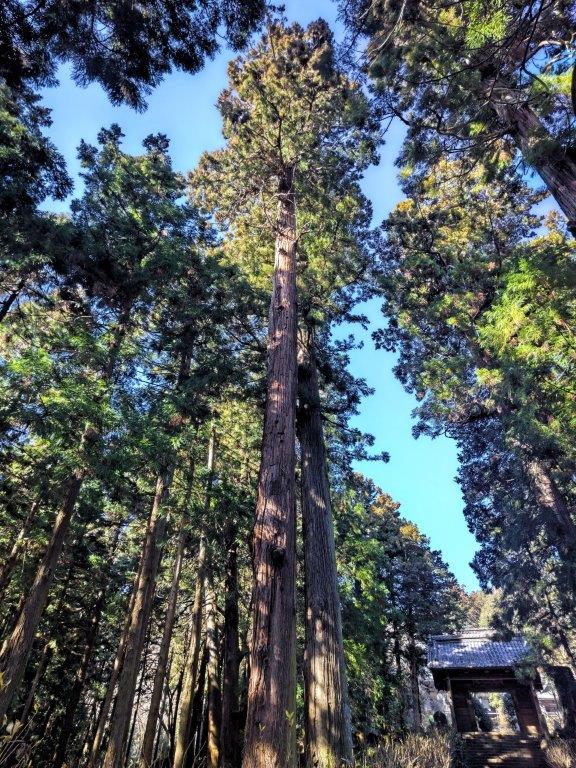
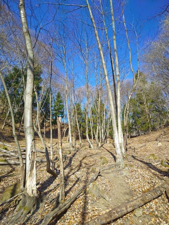
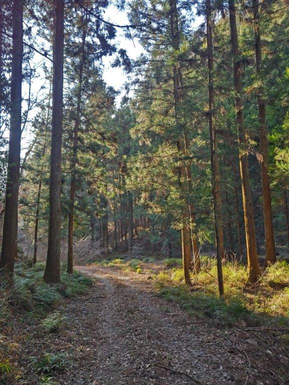
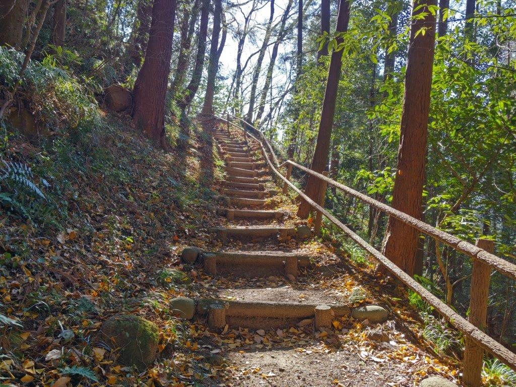
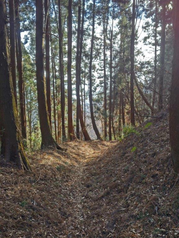
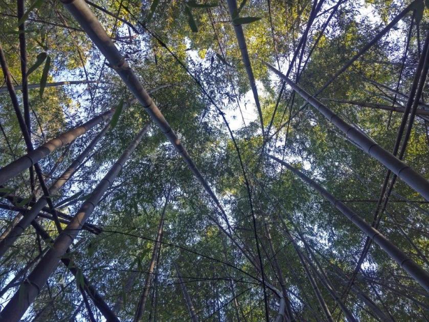
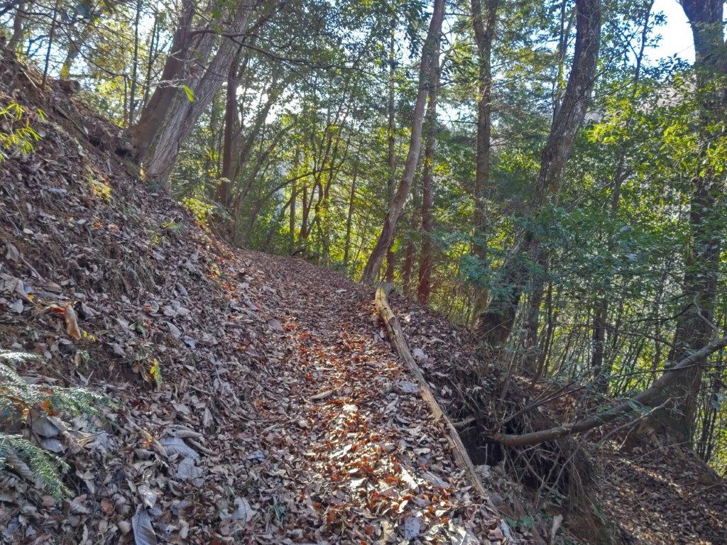
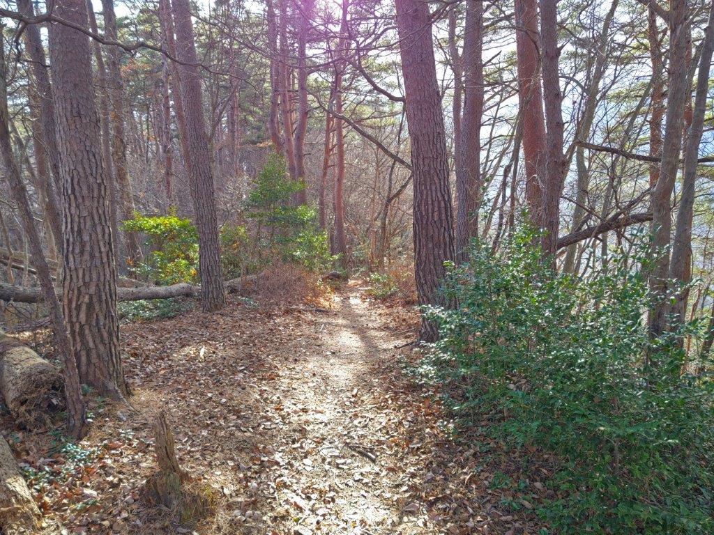
Climbing through the cedars at the start of the hike

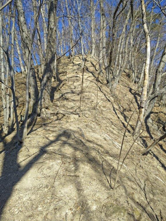
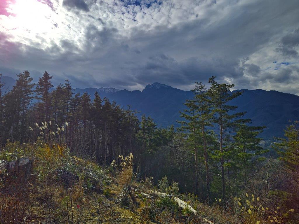
First view of the day, halfway up the mountain
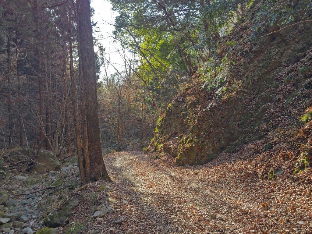
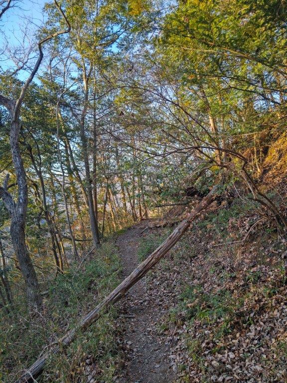
I had good views of the east-west ridgeline of today’s hike, as I walked north along a road, which started to rise gently after crossing Kamogawa River. Half an hour later, I reach the start of the hiking trail on the right. It was relatively easy to follow the trail, but several fallen trees made it harder to walk; apparently, there had been little maintenance since the powerful typhoons of 2019.
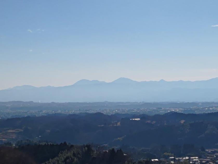
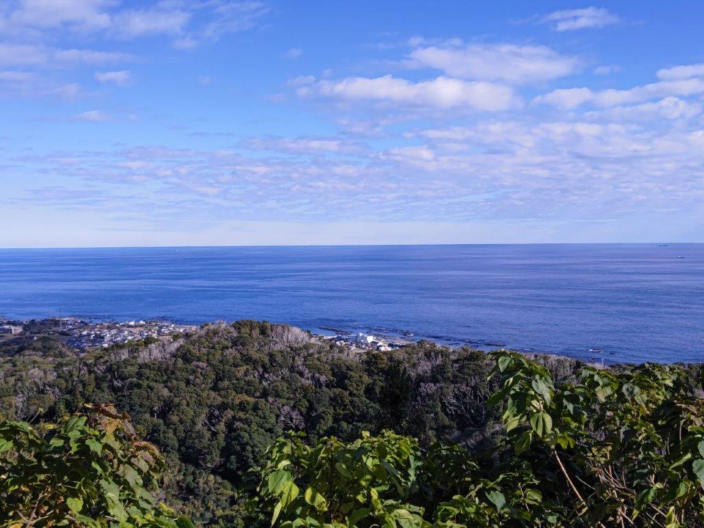
View towards Kamogawa City and the Pacific Ocean

Mt Takago (foreground) and Mother Farm (background)
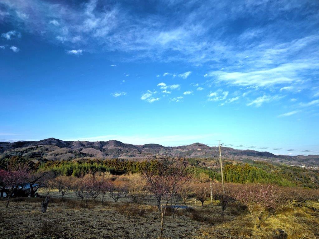
Halfway up, I had my first view of the day: through a gap in the trees, I could see Mt Atago. Around noon, I emerged onto a forest road, the Takayama Line (林道高山線), hugging the south side of the top ridge. I turned right and soon reached the entrance of the trail for today’s mountain. After a short climb, I was at the top of Mt Awataka (安房高山 あわたかやま awataka-yama). It was mostly in the trees, but I could see Mt Takago and Mother Farm on the north side; a few meters in the other direction, was a better view on the south side.

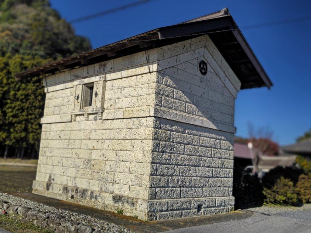
Mt Atago is the highest mountain in Chiba prefecture (408m)

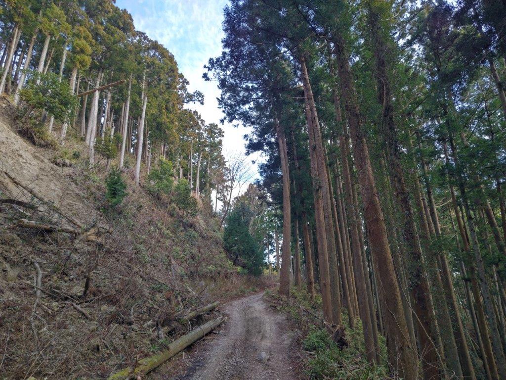
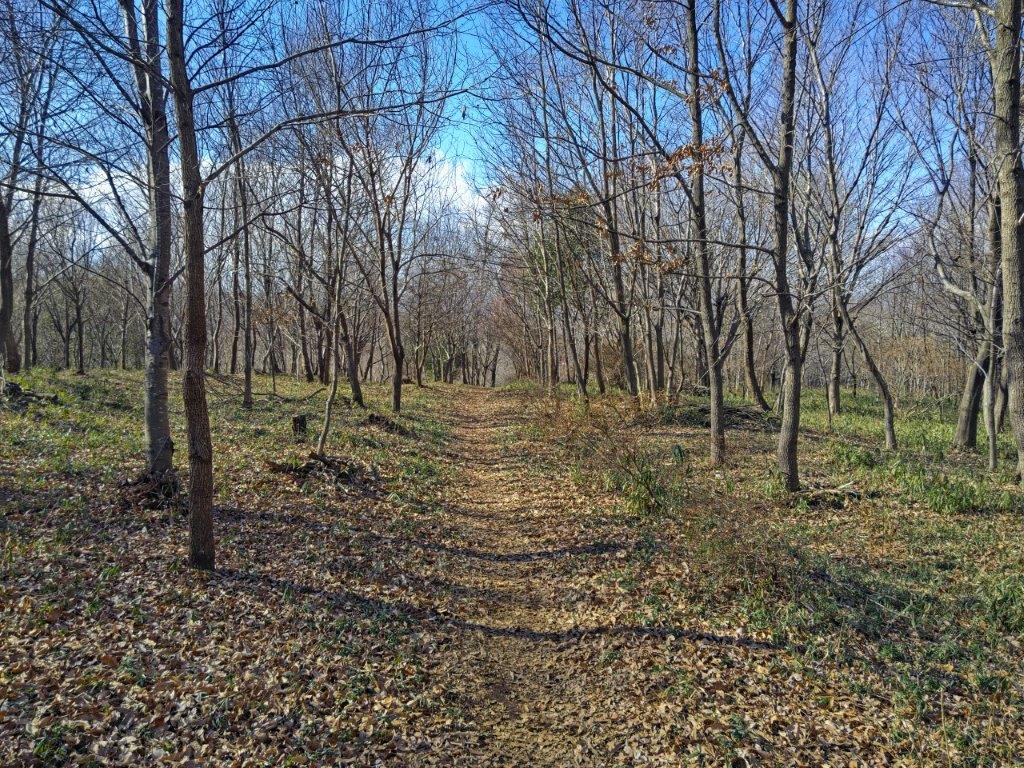
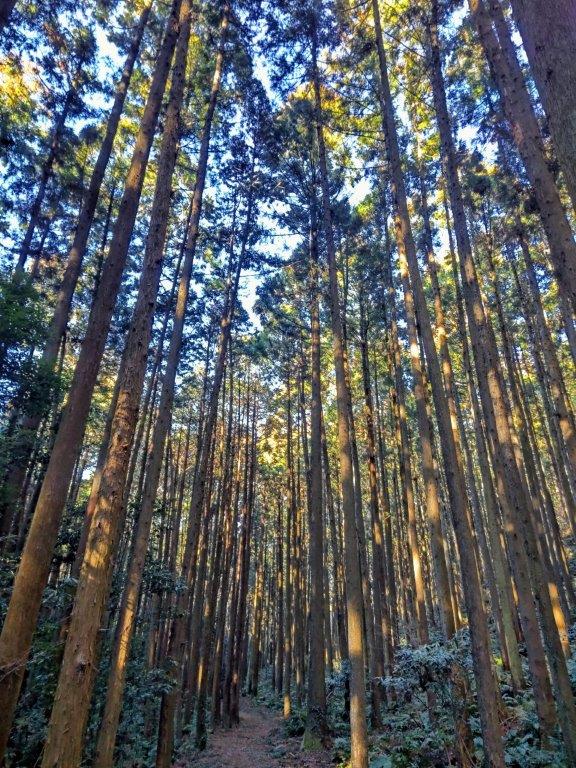
Walking on the Takayama forest road
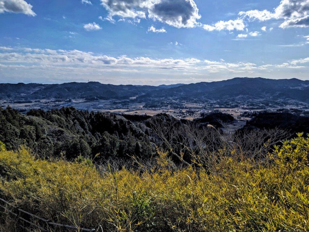
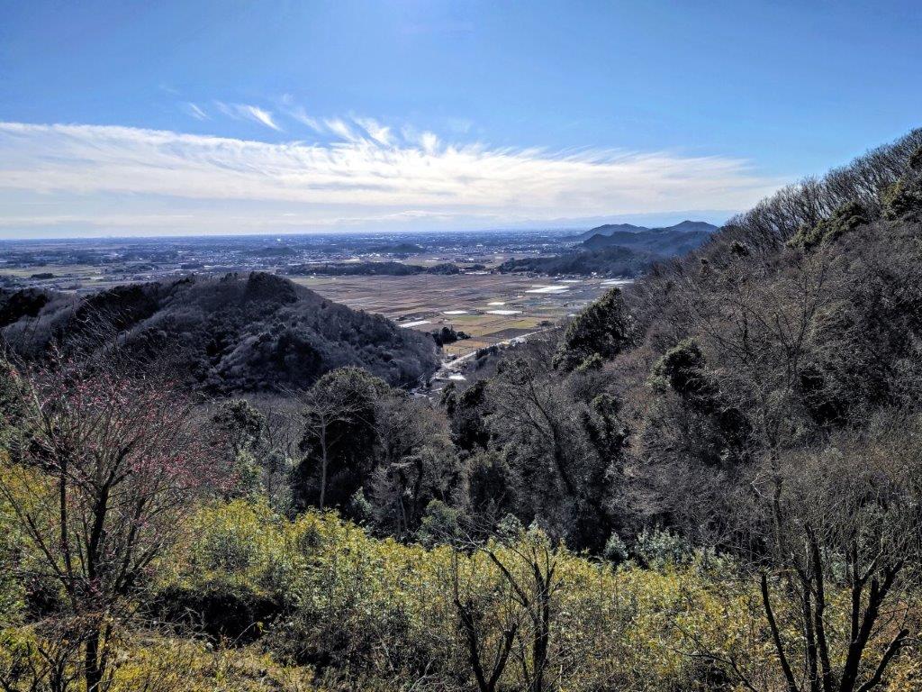
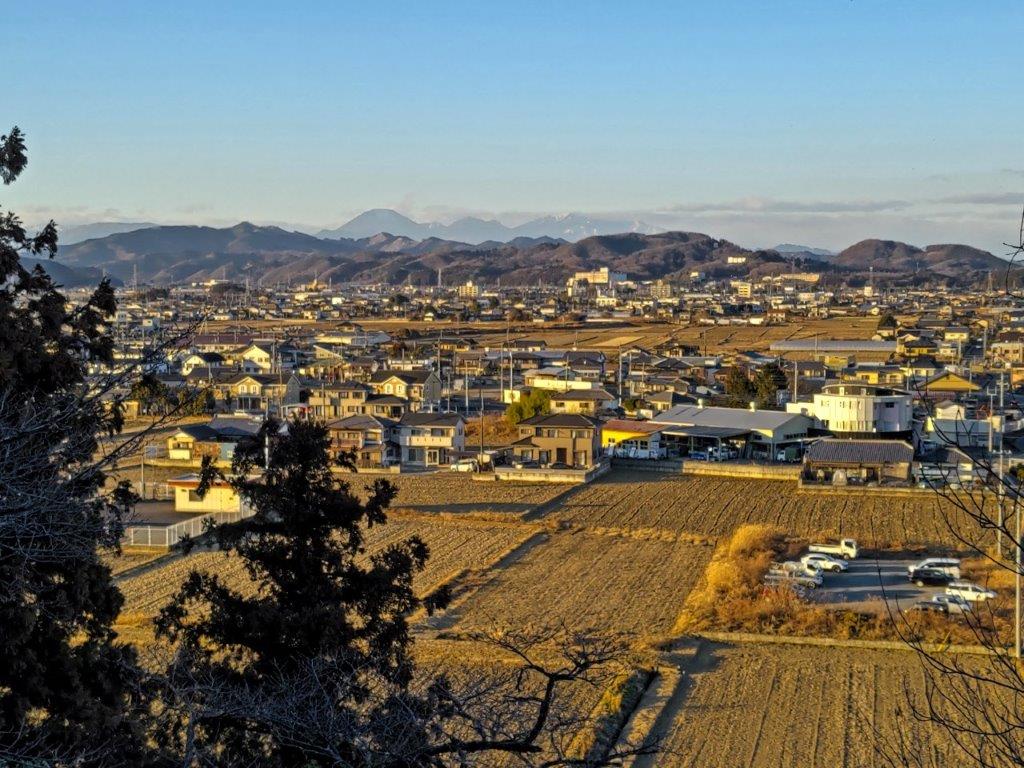
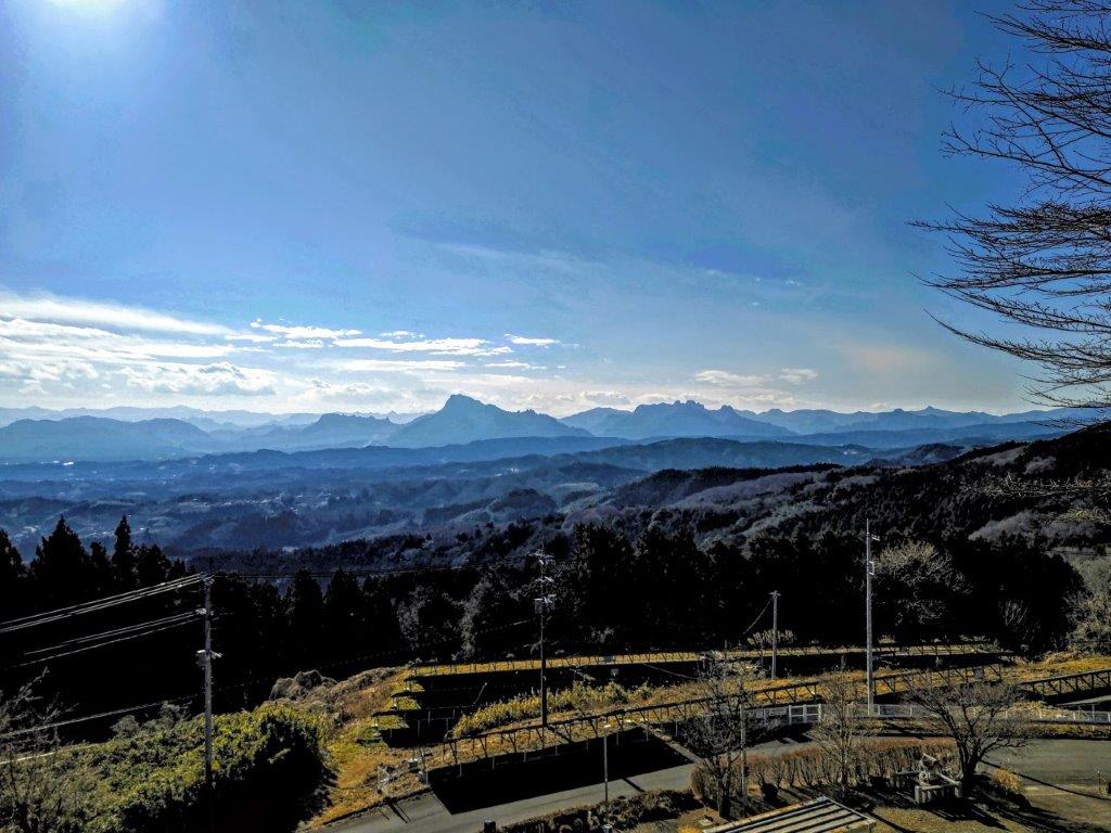
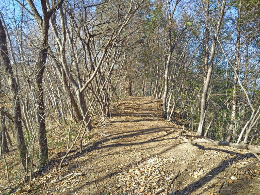
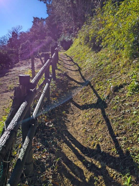
I had a view of the long east-west ridgeline on the other side of the Kamogawa river, as well as of Kamogawa City and the Pacific Ocean; on the way up, I had a glimpse of Tokyo on the east side, so I glad I had been able to see both during this hike. Since it was nearly 1pm, I found a place to sit and had lunch. Afterwards, I went down the same way. Back on the forest road, I turned right, heading west, and soon took another trail uphill. The first part was a little damaged, but beyond, it was easy to walk, with few trees and with a wide view of the valley below.
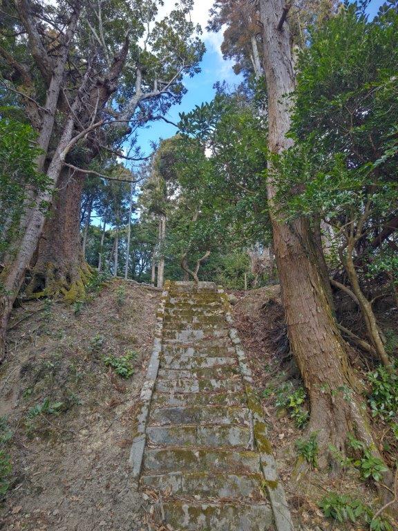
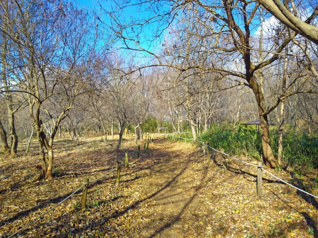
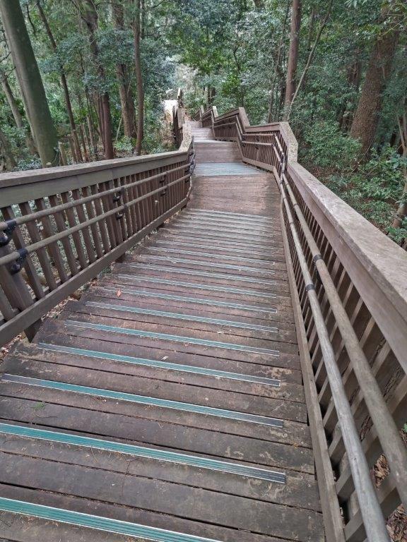
Hiking trail above the forest road (left) Stairs leading to Atago shrine (right)

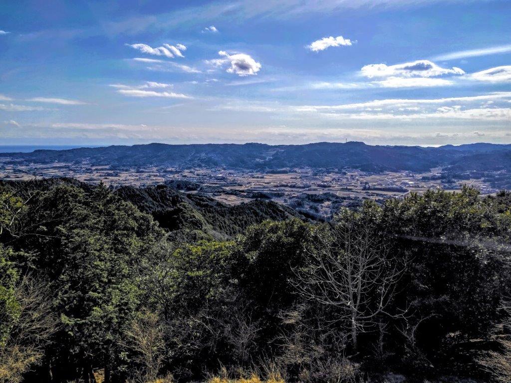
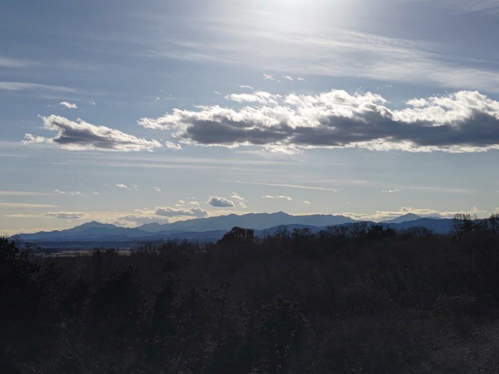
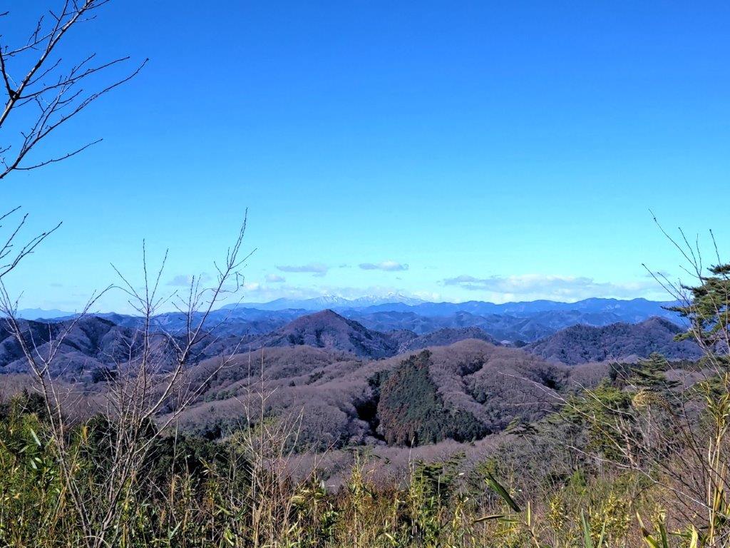
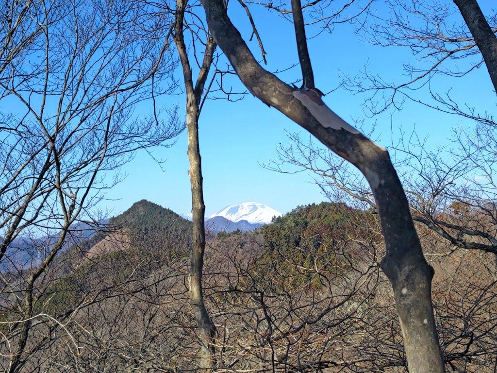
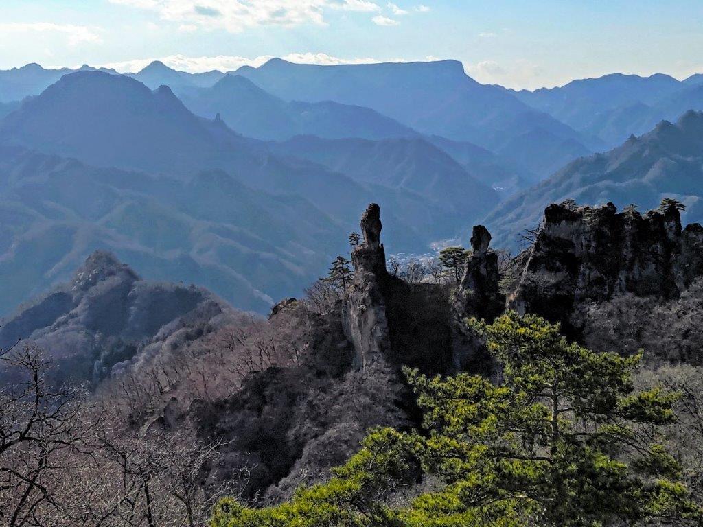
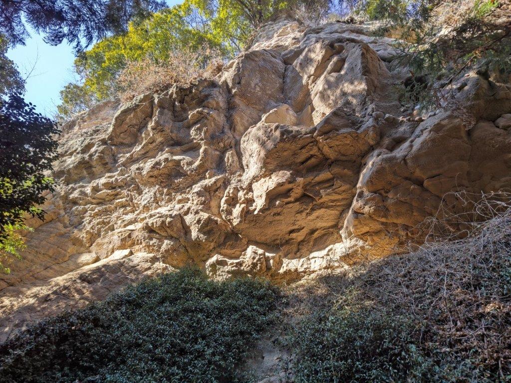
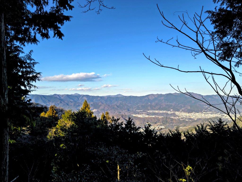
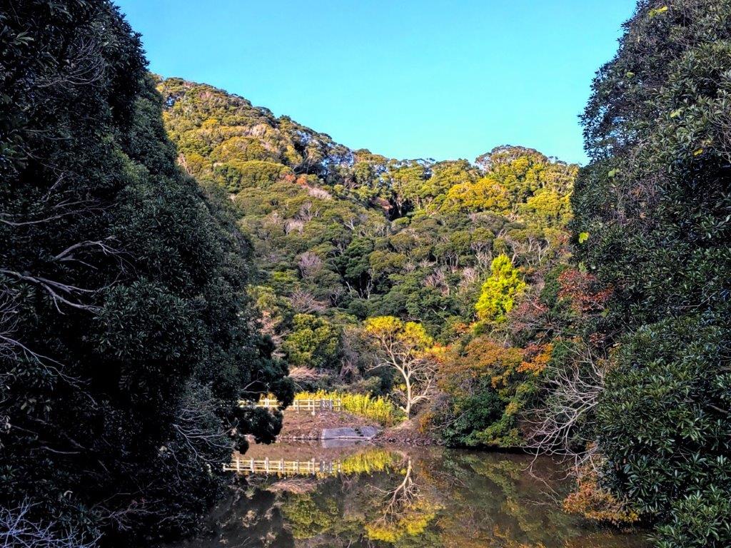
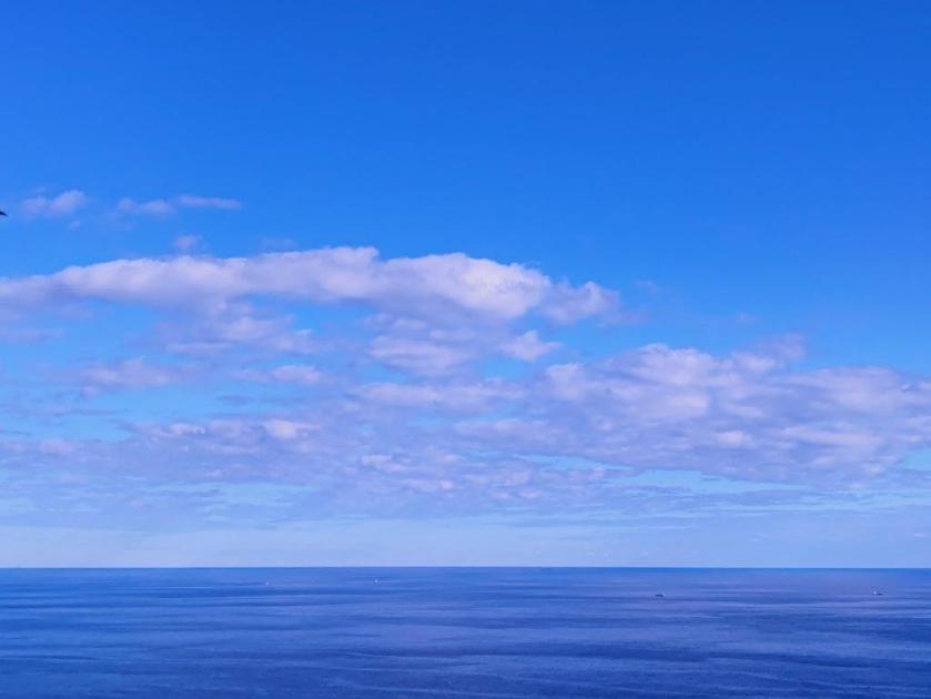
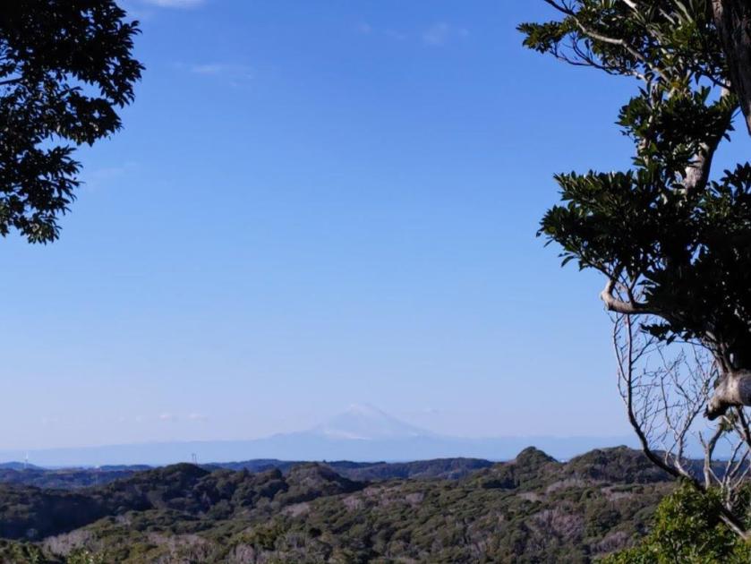
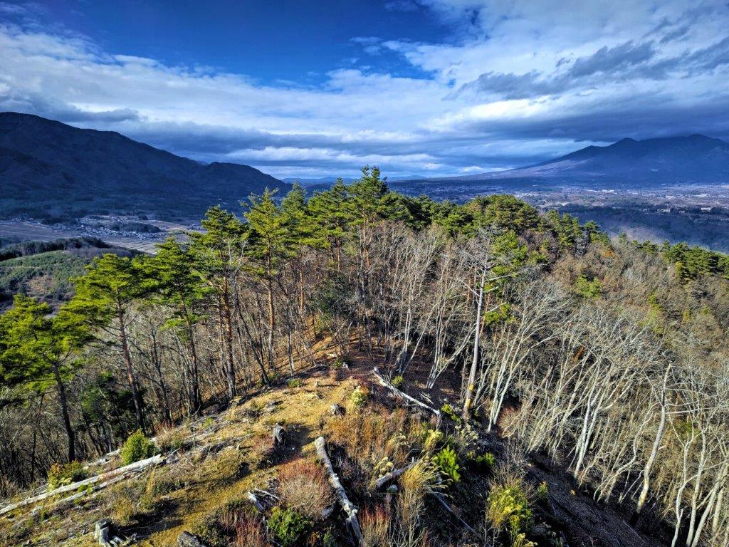
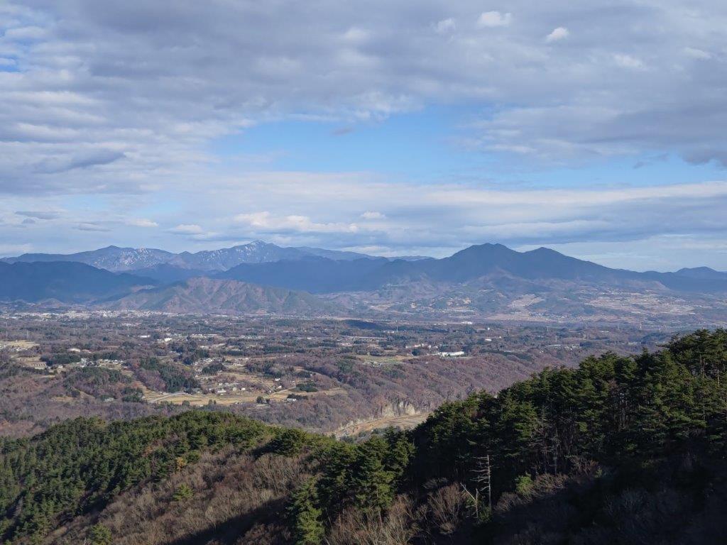
One of the best views of the day from near Atago Shrine
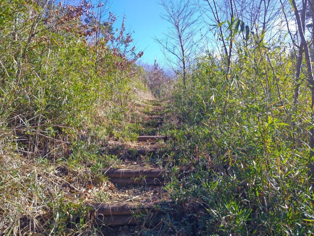
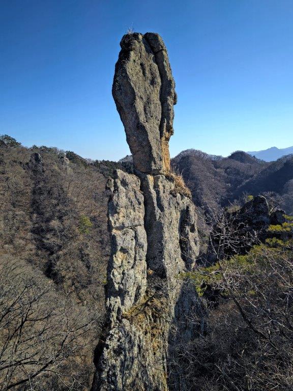
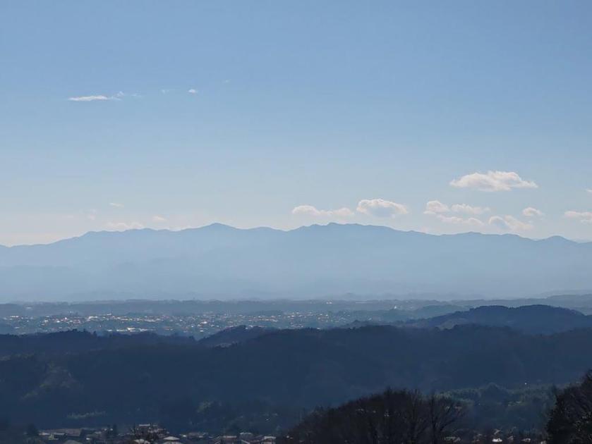
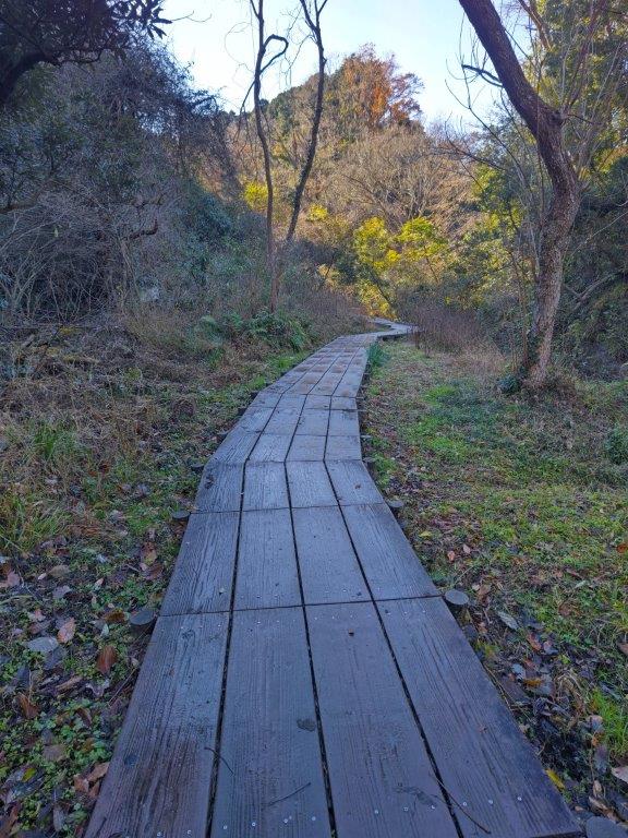
This was by far the best section of today’s hike; it felt like I was hiking at a much higher elevation; looking eastwards, I could see Mt Iyo and Mt Tomi., both climbed in 2015. A little before 2pm, I reached a steep staircase below Atago Shrine (愛宕神社), also the top of Mt Shou (請雨山 しょううさん shouu-san). It was completely in the trees; I followed the ridgeline a few minutes northwards, but failed to find any views. I walked back down the steps, and continued along the trail, now heading down via some steps.
View Southeast of Kamogawa

View Southwest of Mt Iyo and Mt Tomi
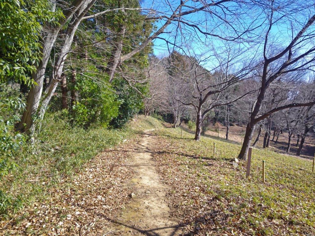
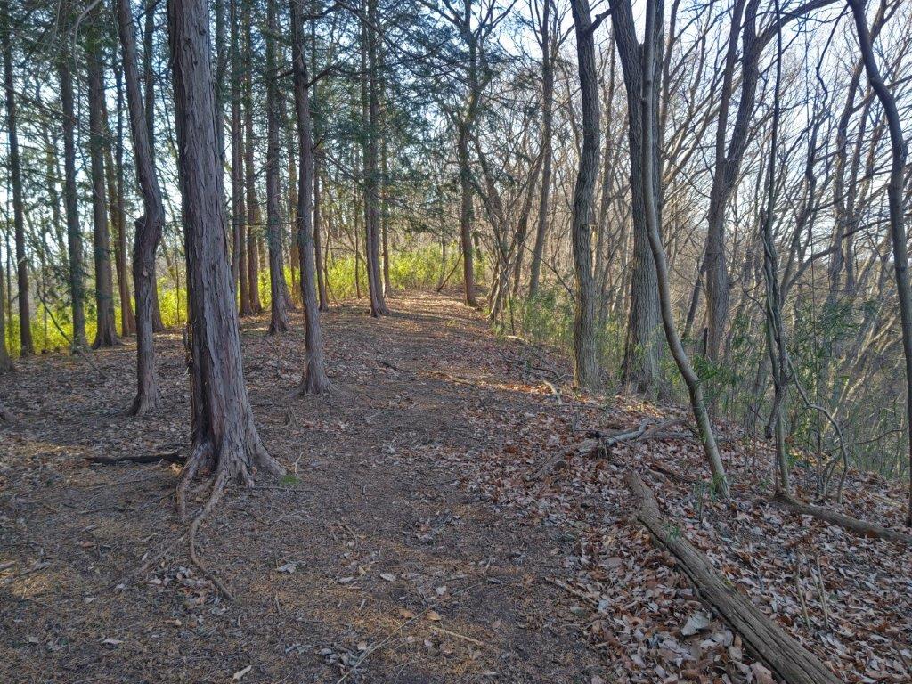
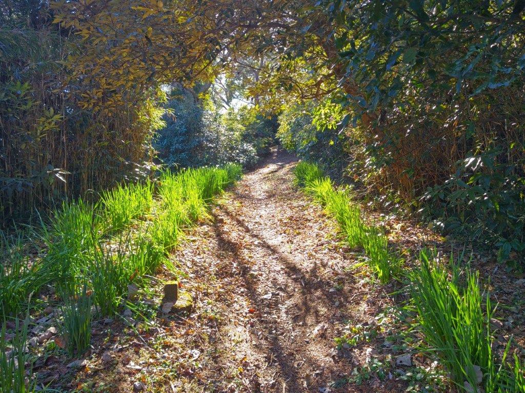
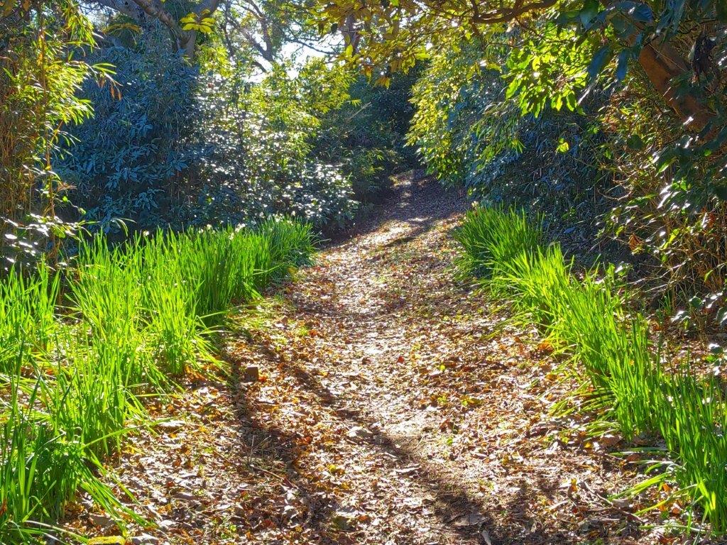
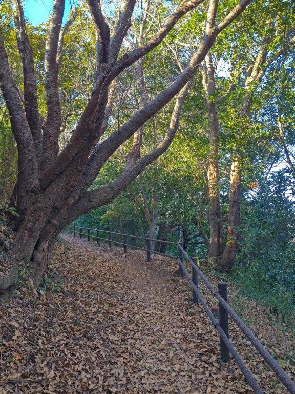
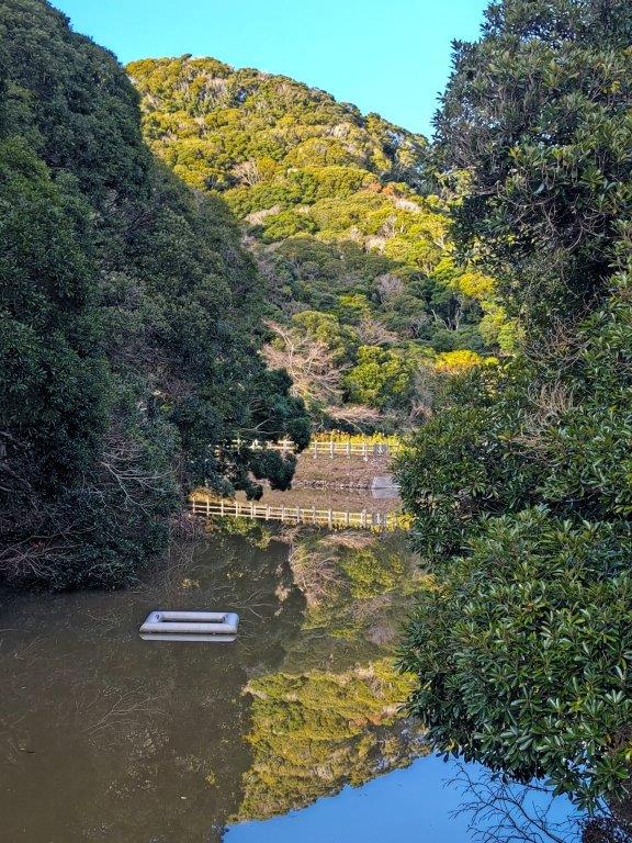
I followed the narrow, forested ridgeline westwards, typical of the area. In no time, I was back on the forest road. The ridge trail continued to the next peak, Mt Migoori, but that would be for another time. I turned left and soon reached a junction, where I took the right branch, heading downhill. At 2h30, I was on the main road again, near the start of the morning trail, and by 3pm, I had was back at the 7/11.
Back on the Takayama line
I checked out a nearby store for Kameda sake Brewery, since I had some time before the return bus. At Hota station, I caught the limited express for the comfortable 90 minute ride back to Tokyo. Although the hike had taken less than 4 hours, I had been rewarded with some news, and some ideas for the futures hikes in the area.

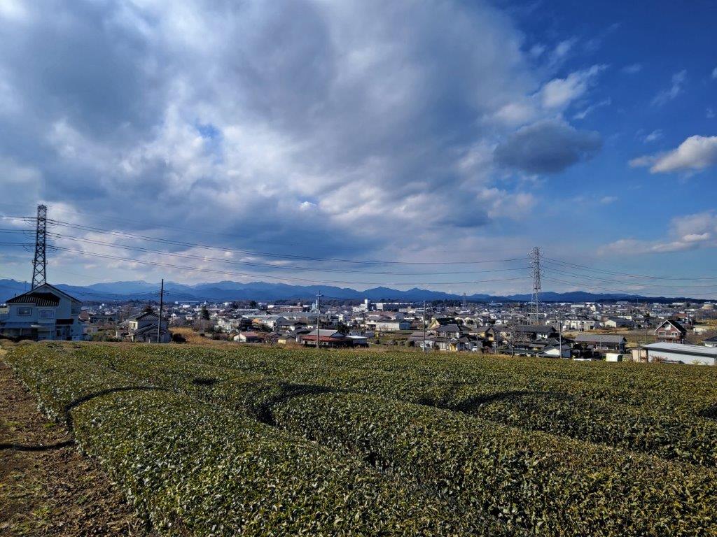
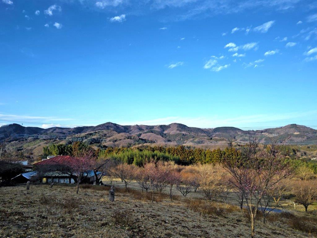
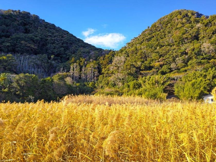
The rice fields of Kamogawa
conclusion
Watch a video of the Mt Awataka hike


See a slideshow of some more pictures of the Mt Awataka hike
![Mt Rokudo (194m), Tokyo & Saitama Prefectures, Sunday, January 29, 2023 [Sayama Lake Perimeter Road]](https://hikingtokyo.com/wp-content/uploads/2023/05/dsc_2515.jpg?w=1024)


![Mt Mido (878m), Shimonita Town, Gunma Prefecture, Monday, January 9, 2023 [Map Available]](https://hikingtokyo.com/wp-content/uploads/2023/05/dsc_32598.jpg?w=1024)


![Mt Yadaira (860m), Otsuki and Uenohara Cities, Yamanashi Prefecture, Friday, December 30, 2022 [Map Available]](https://hikingtokyo.com/wp-content/uploads/2023/04/dsc_28292.jpg?w=1024)


![Mt Futamata (570m), Kanuma City, Tochigi Prefecture, Saturday, December 10, 2022 [Map Available]](https://hikingtokyo.com/wp-content/uploads/2023/02/dsc_17602.jpg?w=1024)


You must be logged in to post a comment.