

I wanted to take advantage of the comfortable spring weather to do a short hike close to Tokyo. I had already climbed Mt Kannokura and Mt Sekison in 2016, going up via Tennou Pond, and then down past Kitamuki-fudo, both on the north side. Looking at my hiking map, I saw I could approach them again via a different route: along the ridge on the west side, and then head back down on the south side, creating a slightly longer hike. I would take a bus from Ogawamachi station on the Tobu line to a stop close to the trail entrance; from the end of the hike, I could catch the same bus back from a stop closer to the station. The weather was supposed to be overcast with sun from time to time, and so I was looking forward to some easy hiking near home.
View this Blog Post on Hiking Around Tokyo

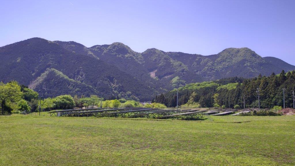
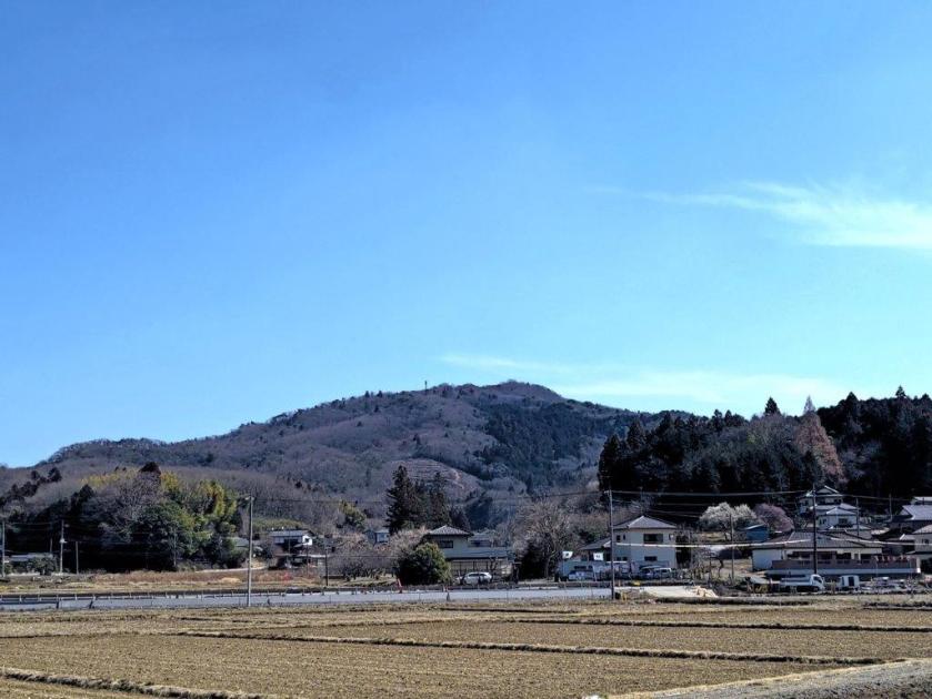
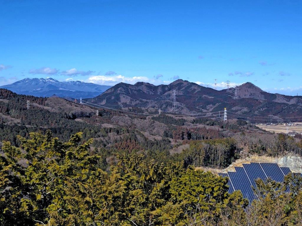
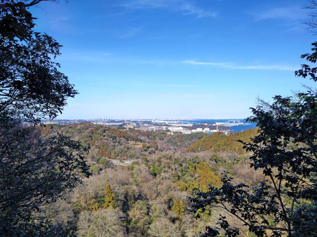
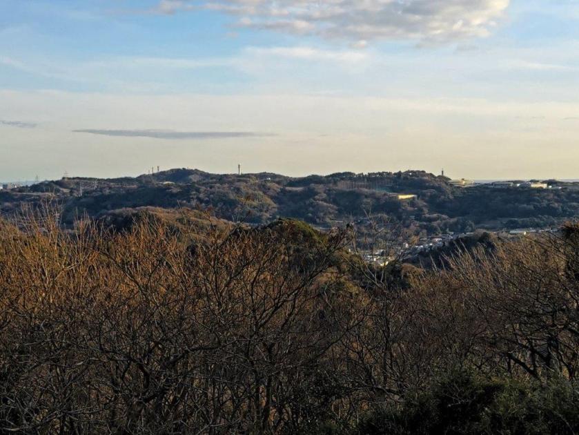
View north of the Kanto Plain Near Mt Usuiri

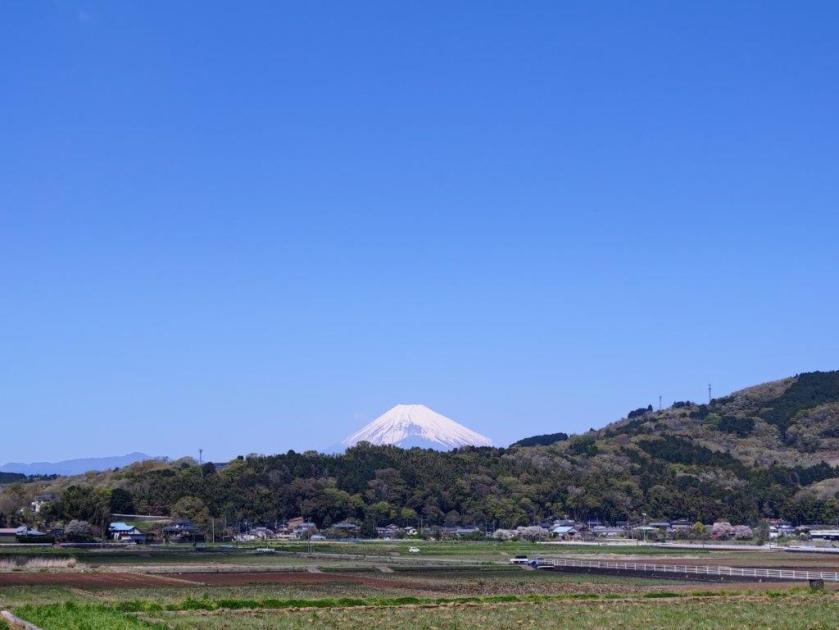
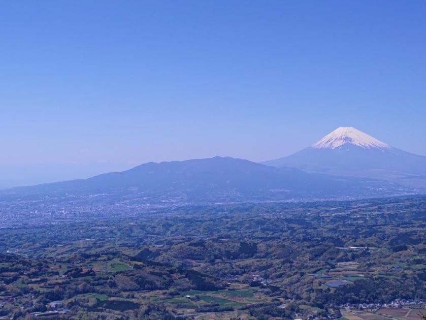
Mt Sekison from Mt Kannokura (June 2016)
Grey clouds hung overhead as I got off the bus near the Higashi-Chichibu Village Hall a little after 10h30. After getting ready, I made my way to a stone Shinto gate and staircase leading to Okusawa Shrine, which I reached a little after 11am. It was surrounded by bamboo, but on the left side, I found the trail entrance, marked by a light blue metallic signpost.

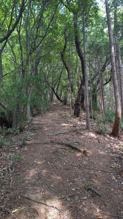
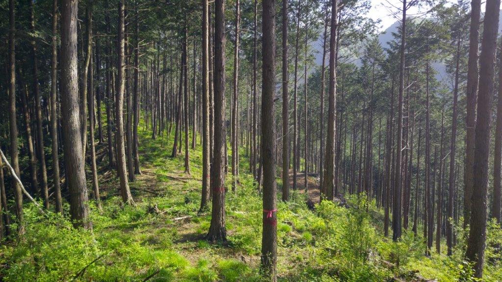
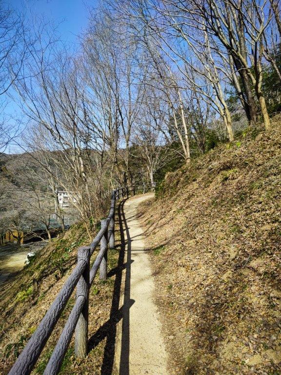
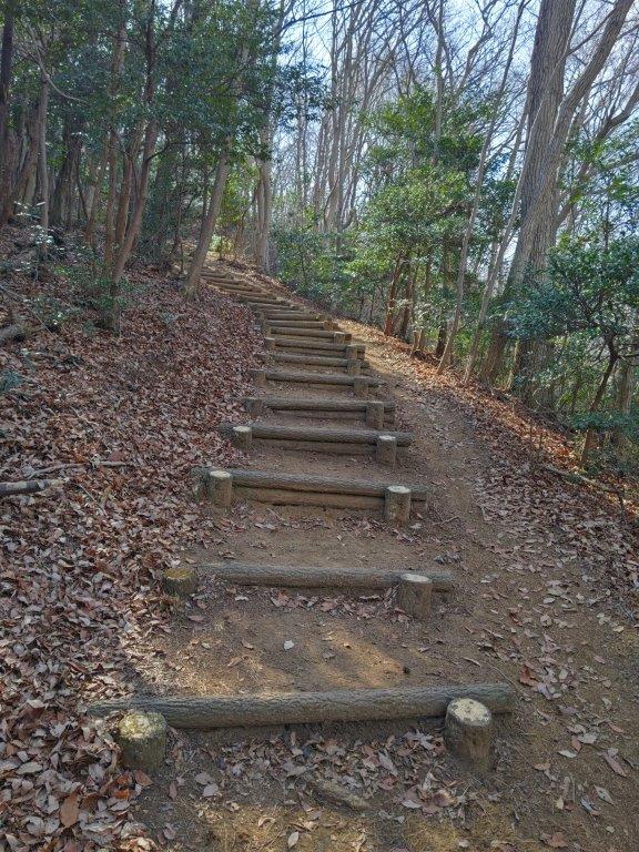
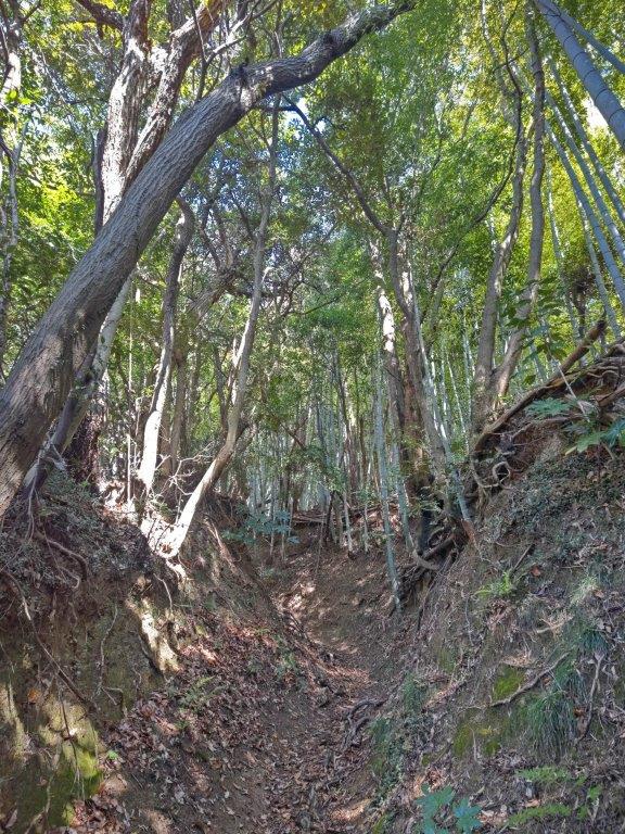
Trail leading up to Mt Usuiri
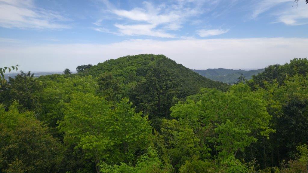
Near the top of Mt Usuiri (left) On the way to Mt Kannokura (right)
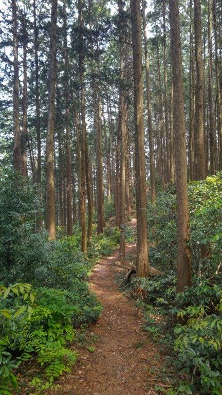
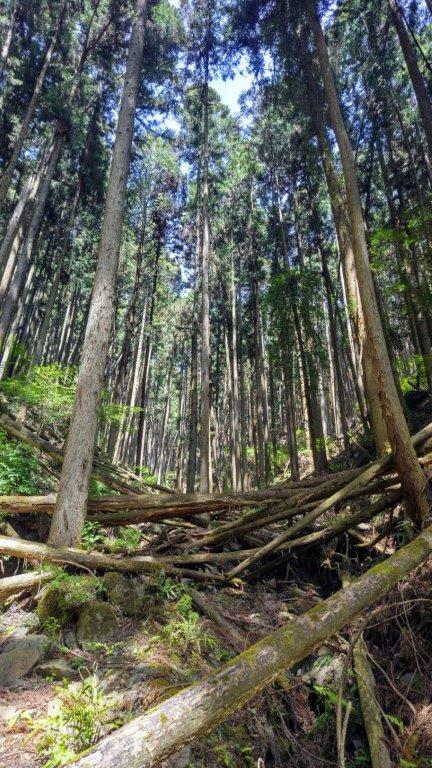
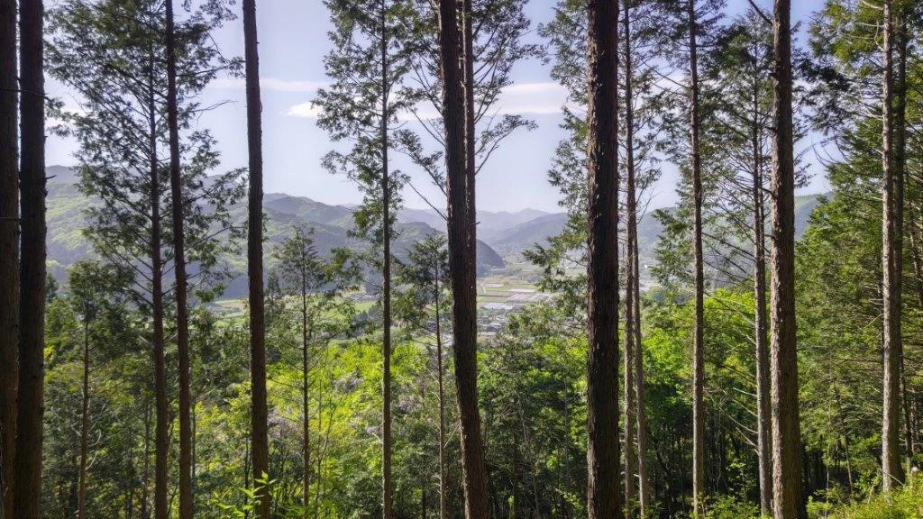
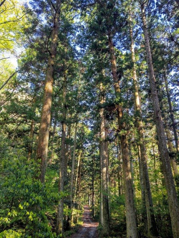
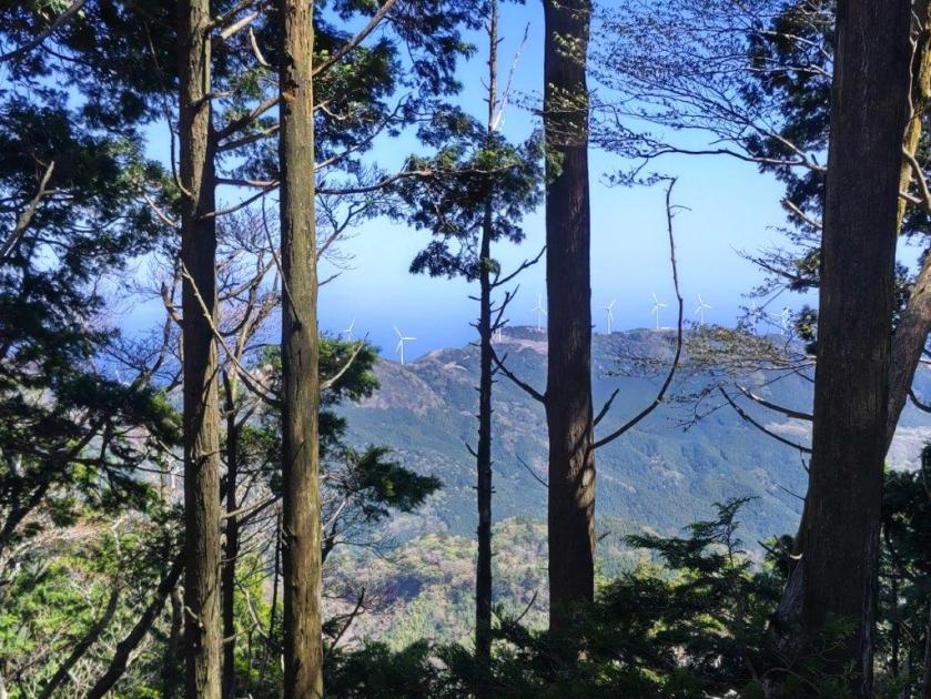
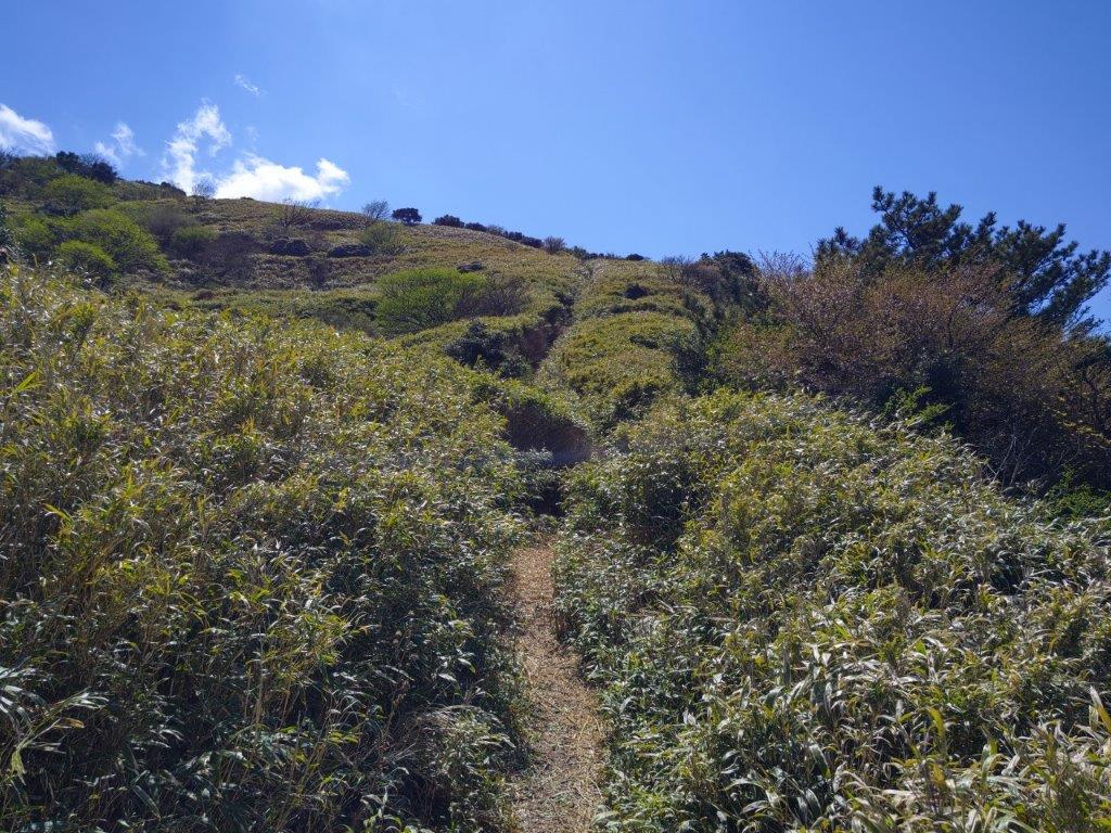
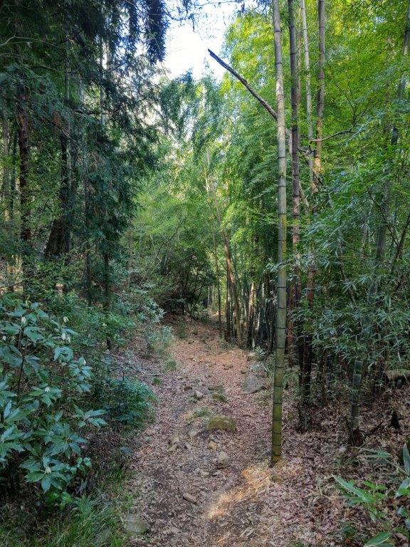
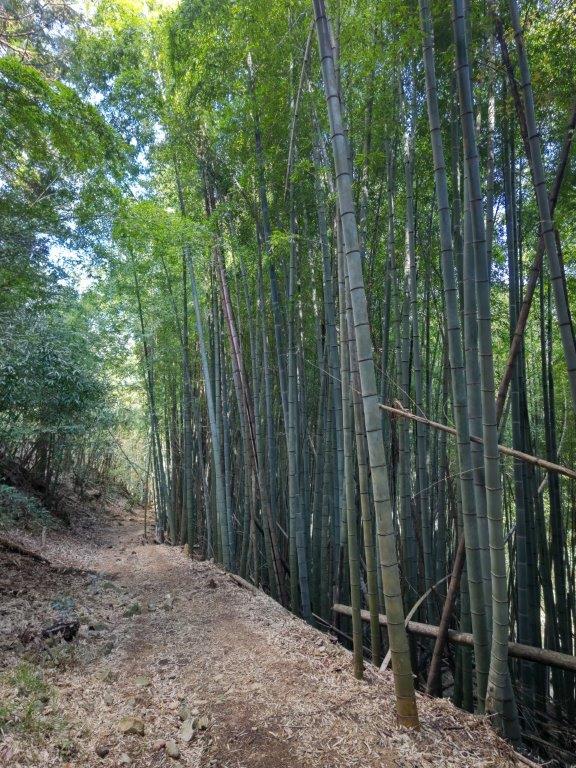
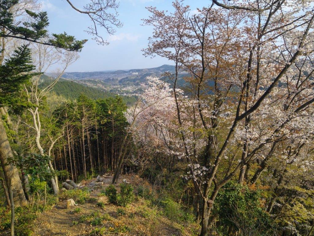
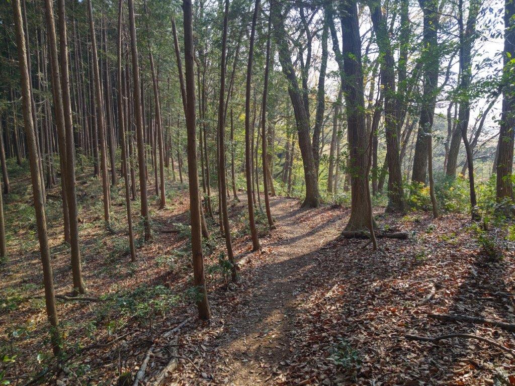
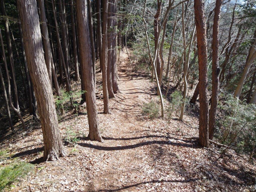
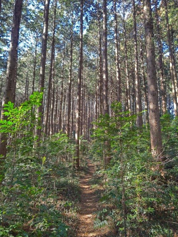
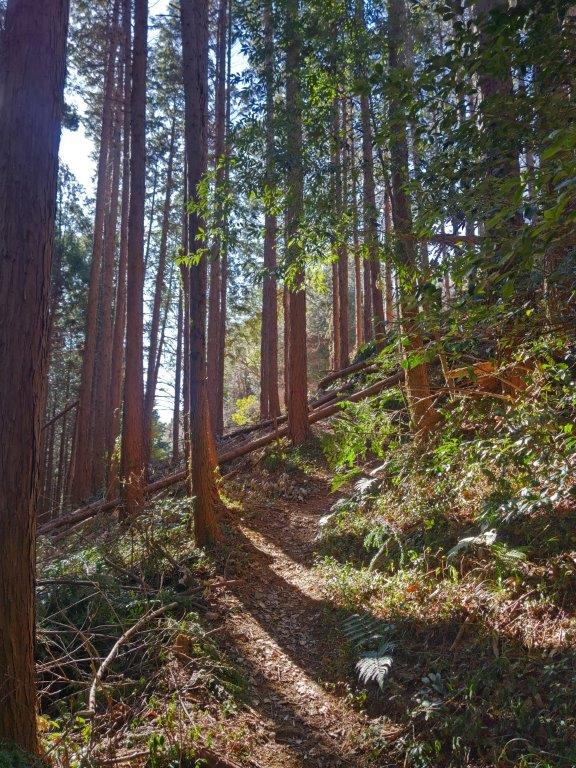
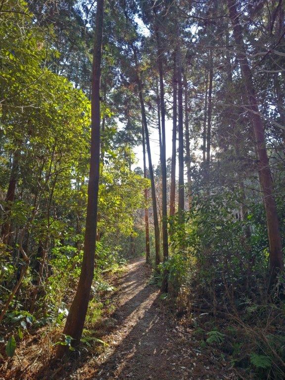
I was excited to find a new hiking trail so close to Tokyo. The path climbed steadily through mixed forest; shortly before noon, I arrived at the summit of Mt Usuiri (臼入山 うすいりやま usuiriyama). Through the trees on the west side, I had a partial view of the ridgeline between Mt Oogiri and Mt Toya in eastern Chichibu. After a short break, I followed the trail through the cedars, down the east side of the summit.

Looking back at Mt Usuiri
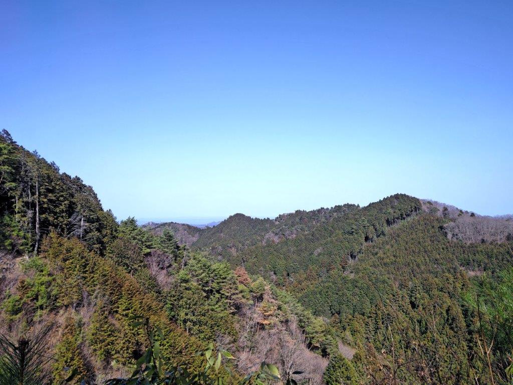
View North from a Clearing past Mt Usuiri
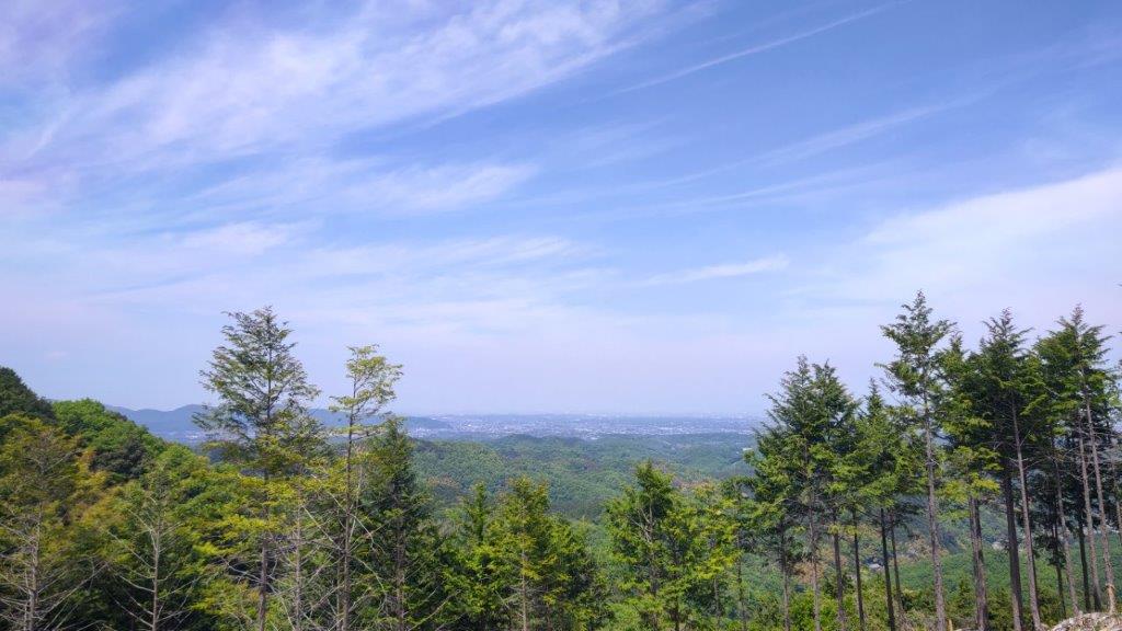
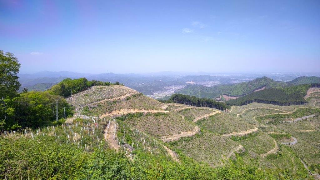
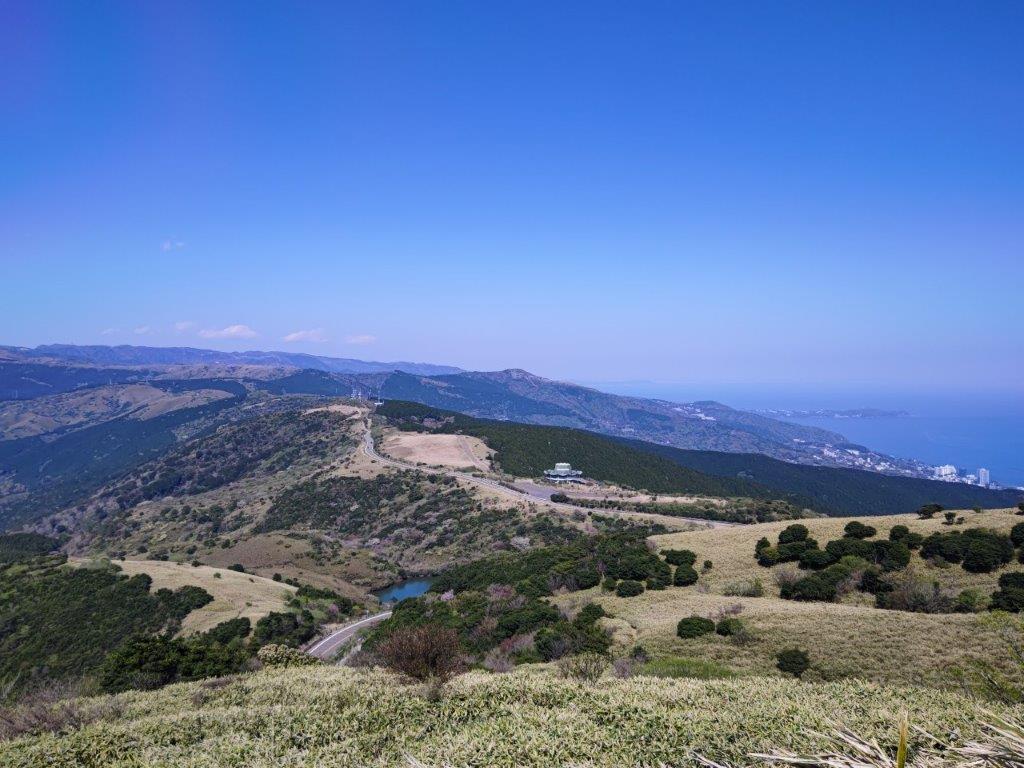
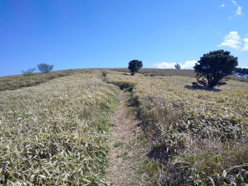
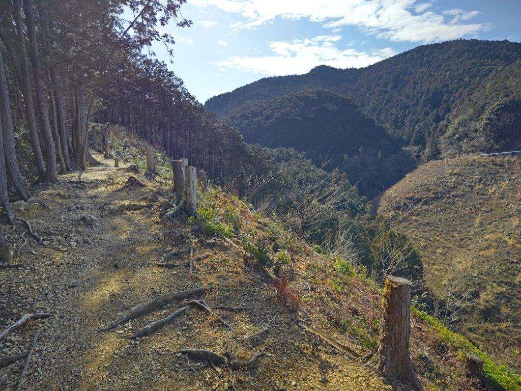
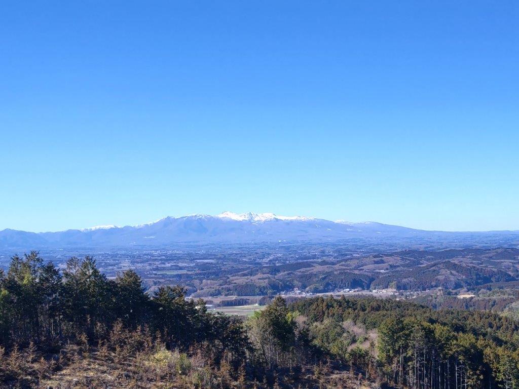
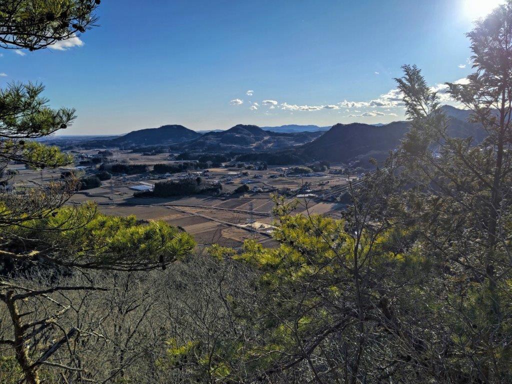
I reached the first good viewpoint of the day about half an hour later. It was a deforested area next to a road over a pass. The clouds had dissipated and blue sky was visible again. On the north side, I could see the long ridge extending east beyond Mt Kanetsukido. I sat down on some tree trunks for some lunch in the sun and with a view. At 1pm, I set off again, crossing the road and up a short steep slope.

View North of Chichibu Past Mt Usuiri
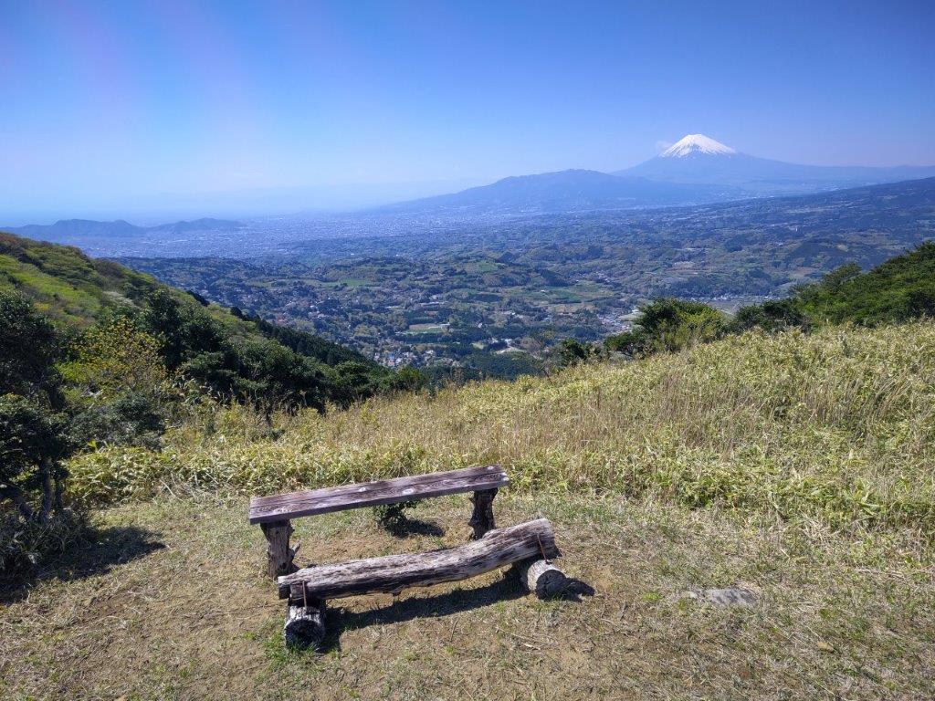
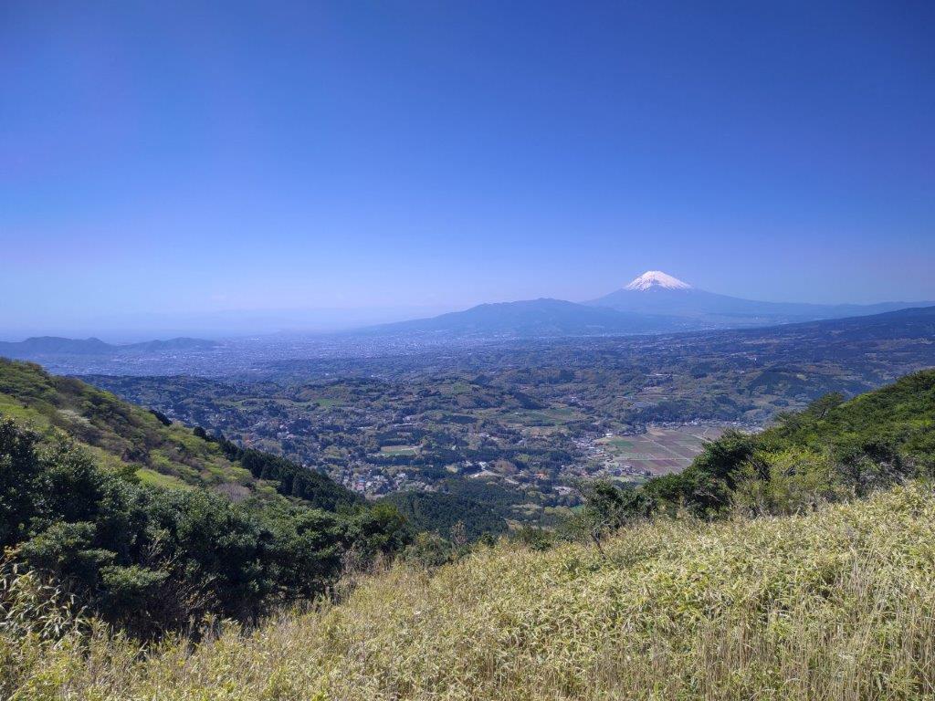
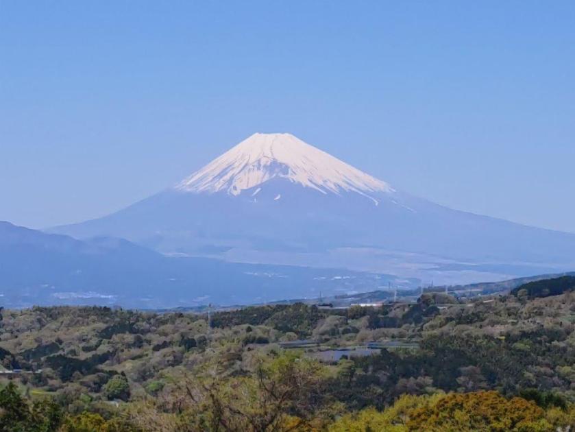
View of Mt Sekison from Mt Kannokura
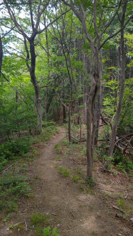
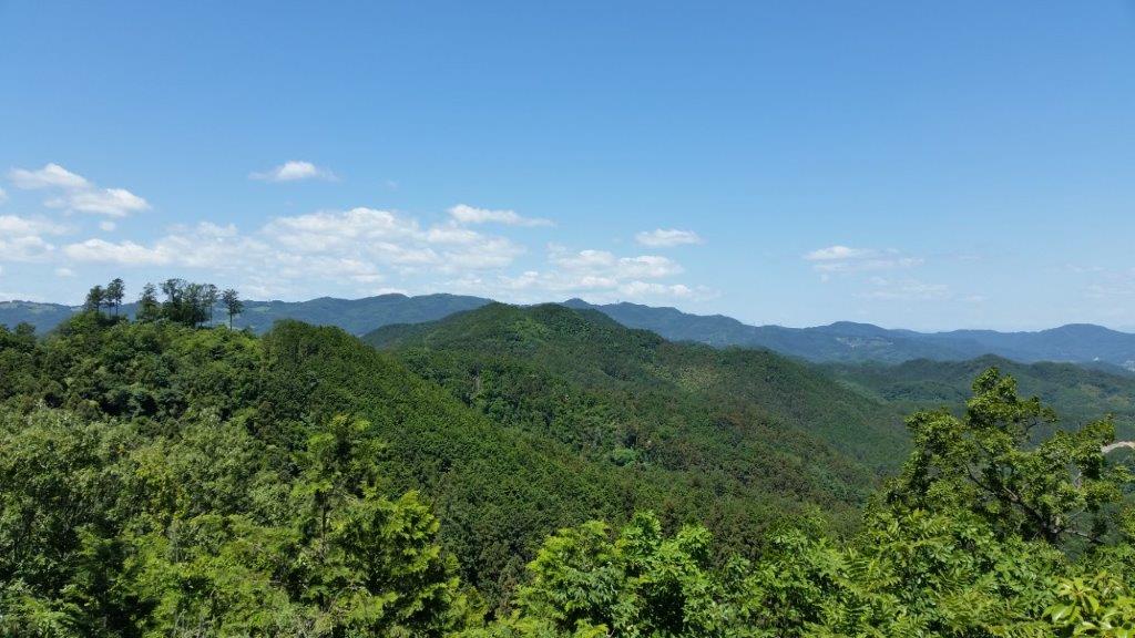
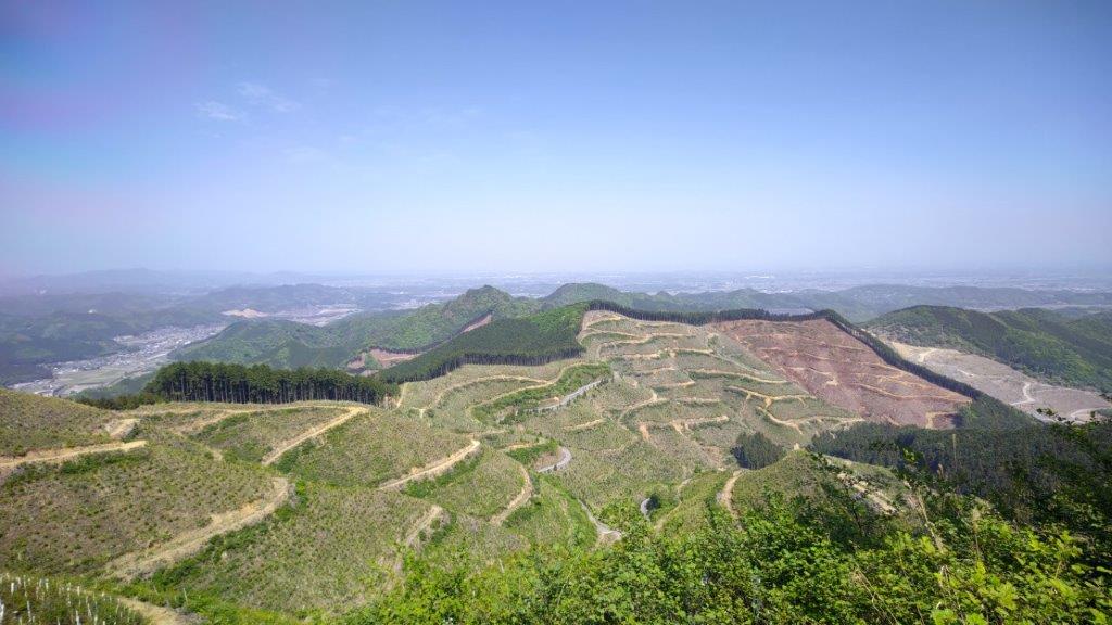
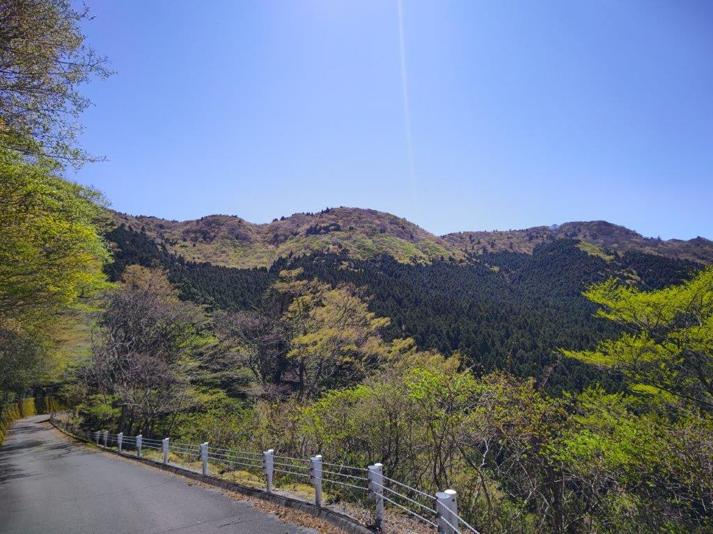
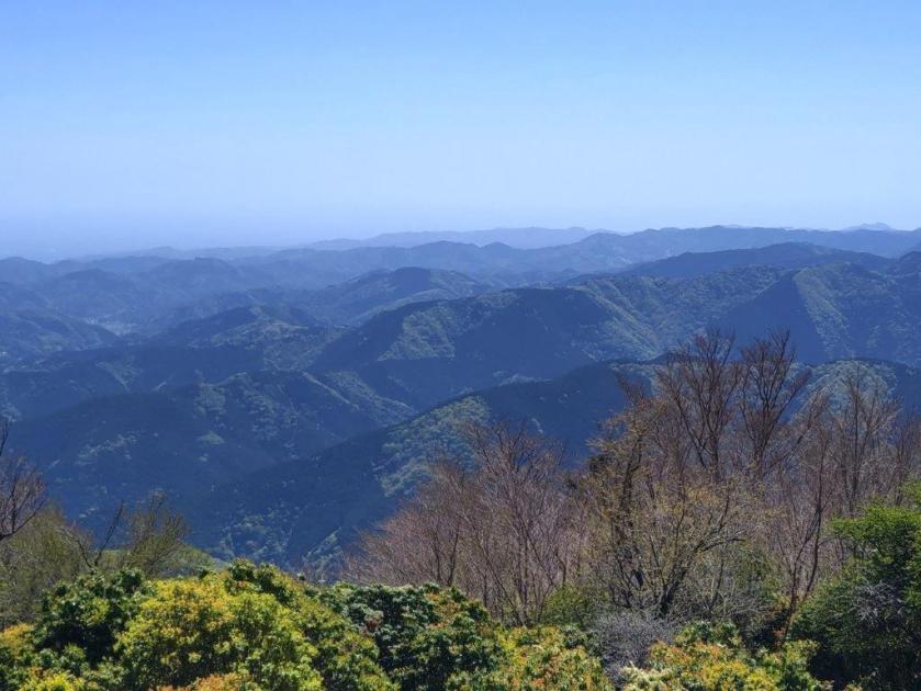
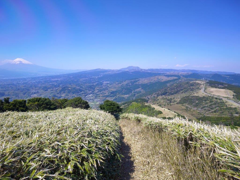
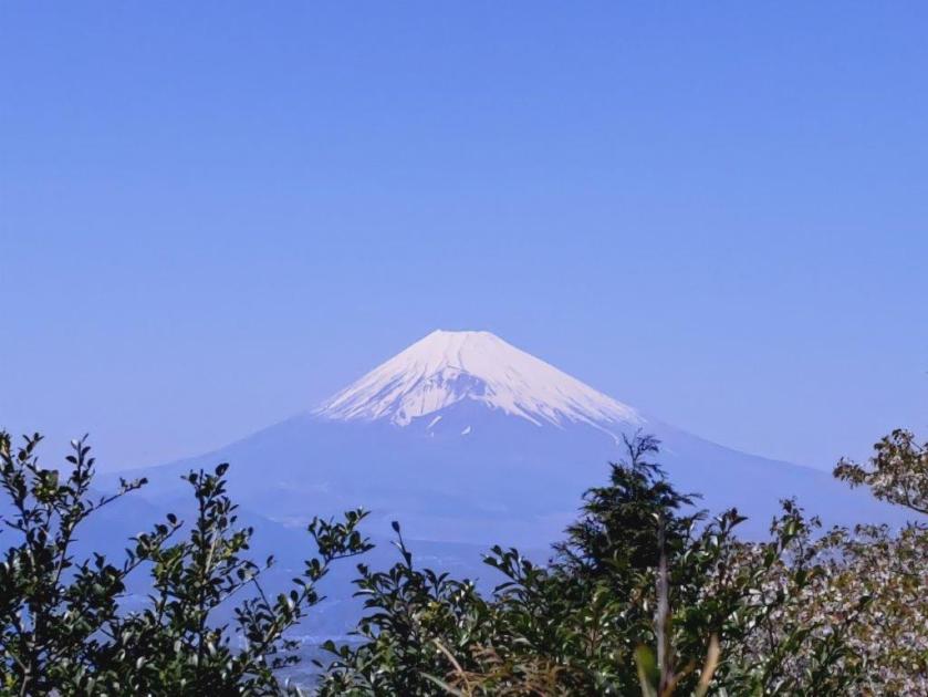
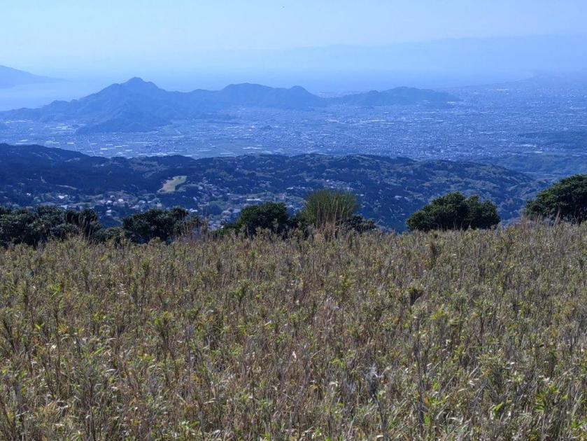
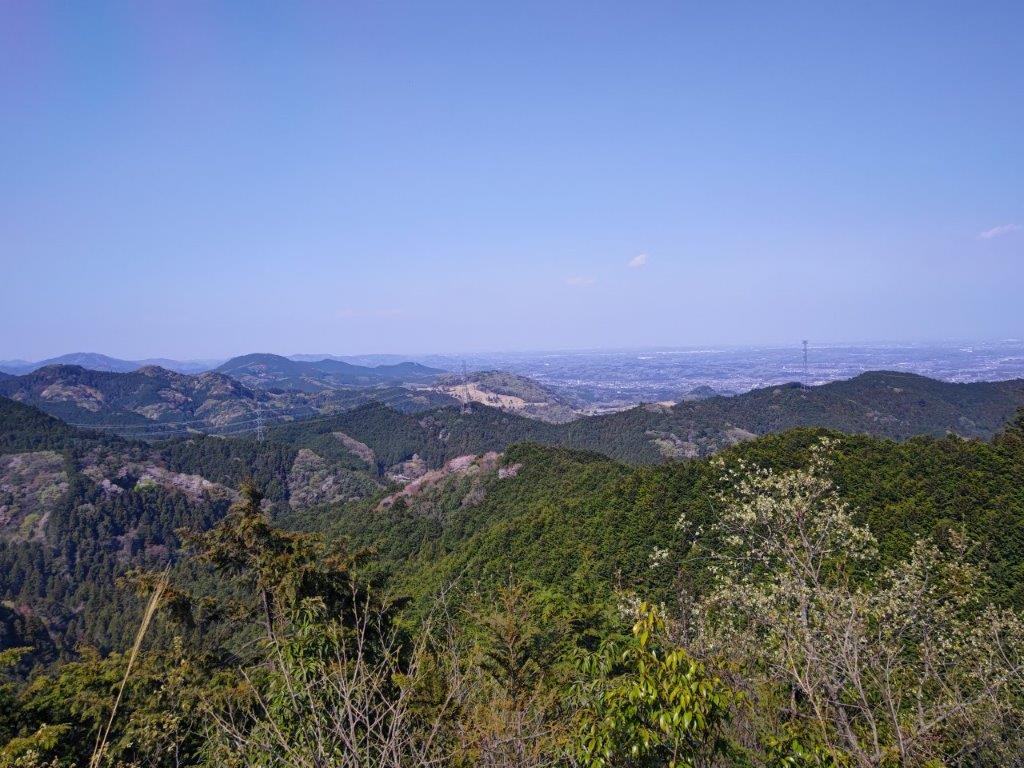
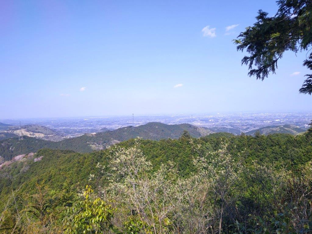
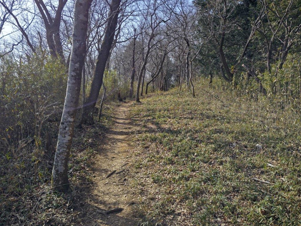
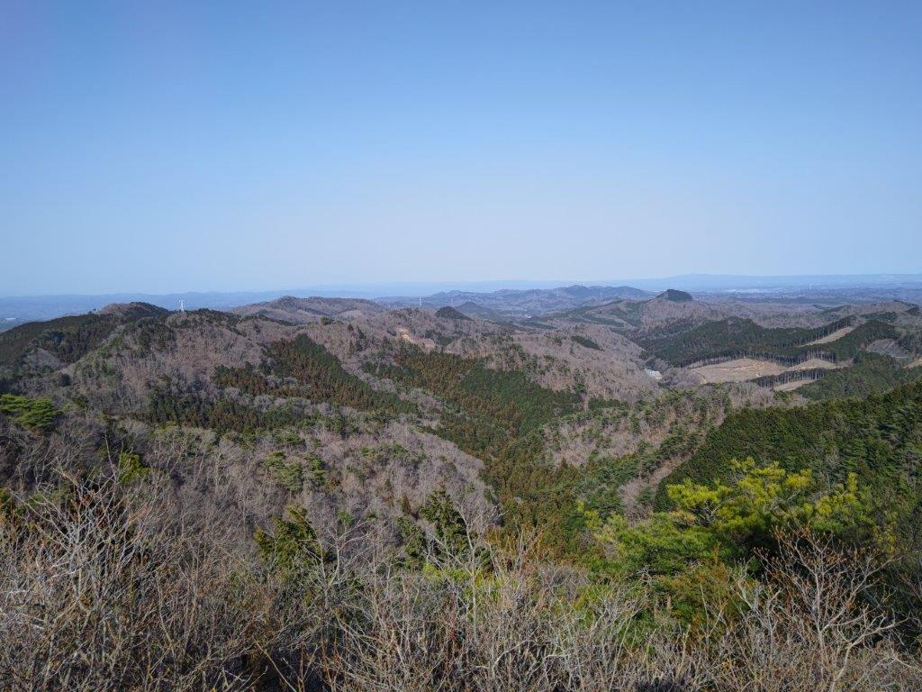
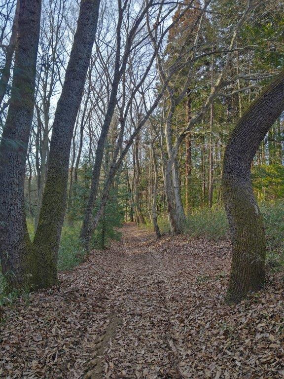
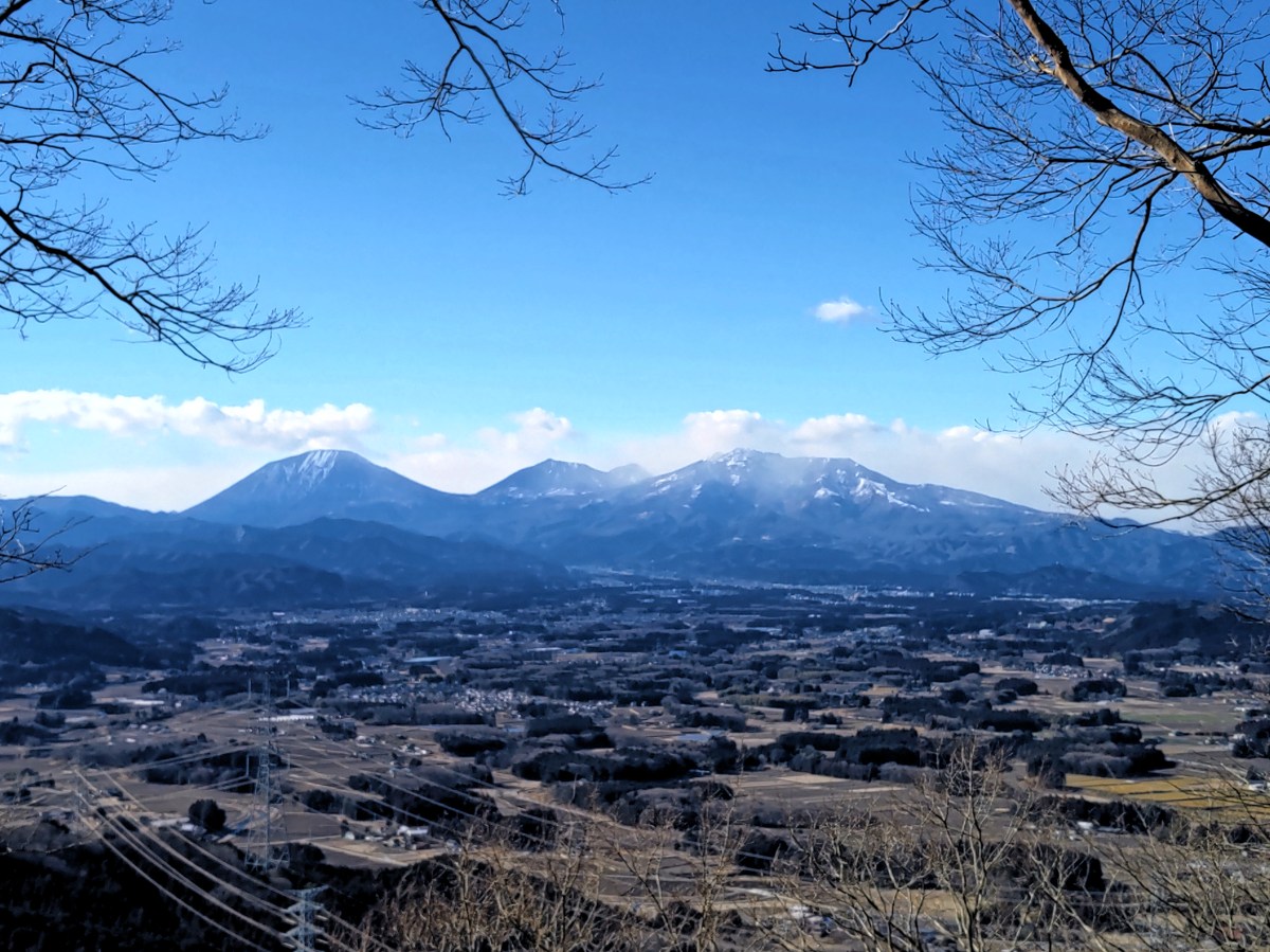
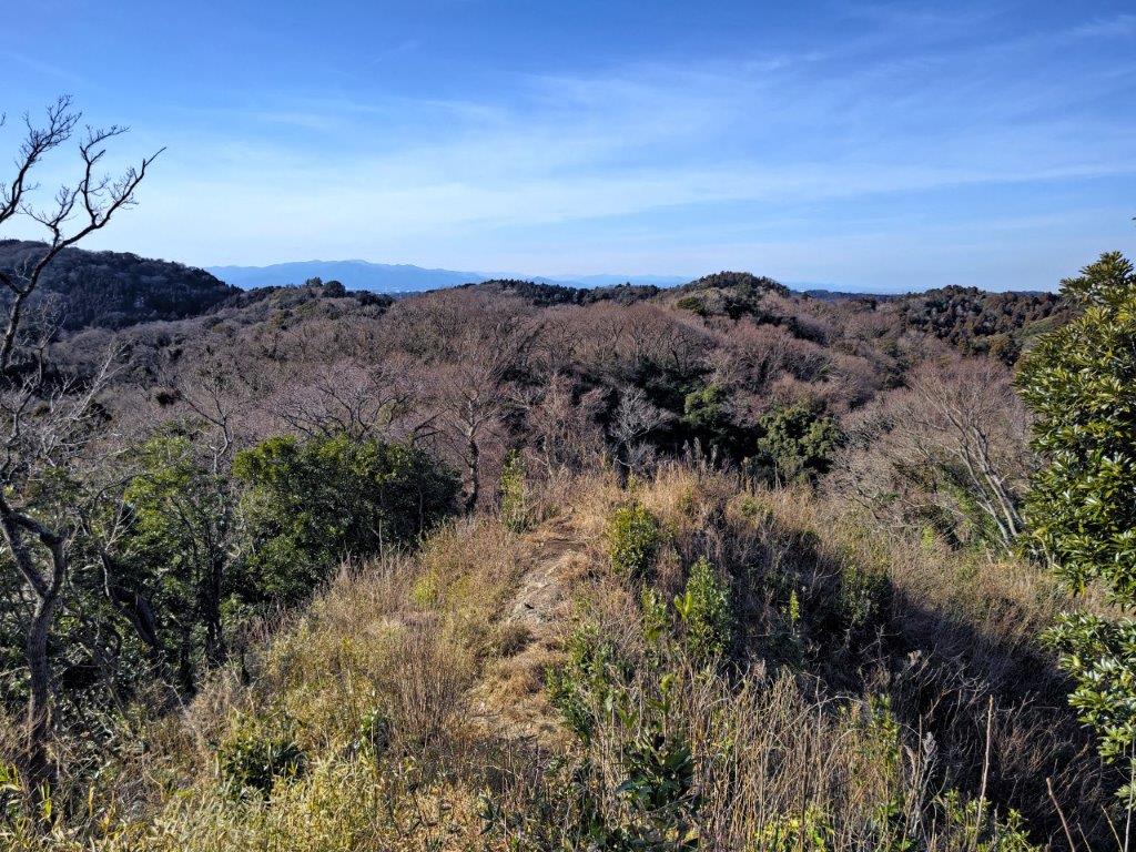
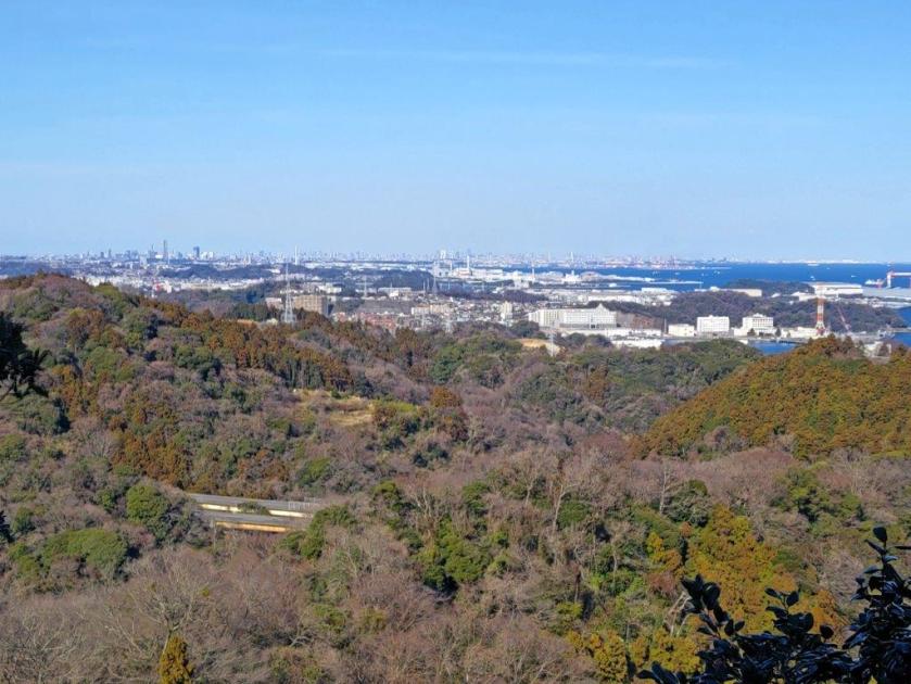
It felt very peaceful as I followed the up and down ridgeline trail, completely in the trees. At 1h30, reached the junction with my previous hike. From there, it was a short climb to the top of Mt Kannokura (官ノ倉山 かんのくらやま kannokura-yama). The clouds had reappeared and the view wasn’t as good as during my last visit. On the north side, I could see the Chichibu mountains and the Kanto Plain; directly ahead was the rounded peak of today’s final summit.
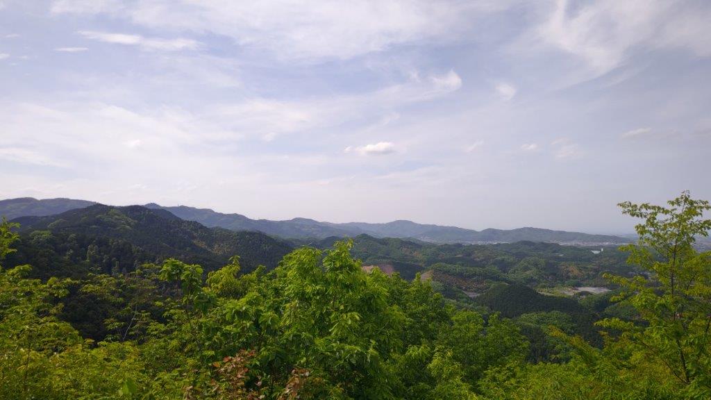
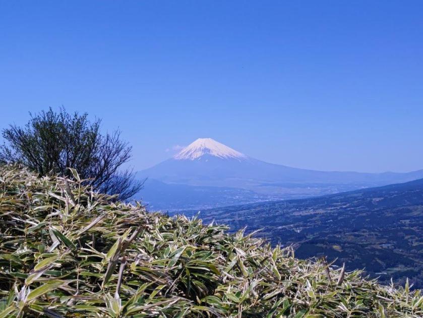
View North of Chichibu from Mt Kannokura

View of Chichibu and the Kanto Plain from Mt Kannokura
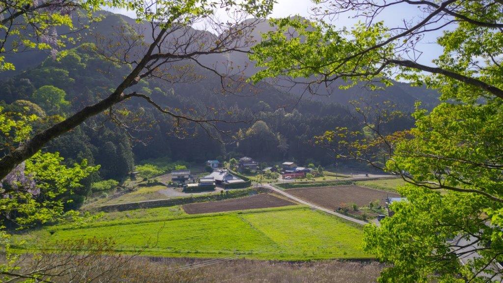
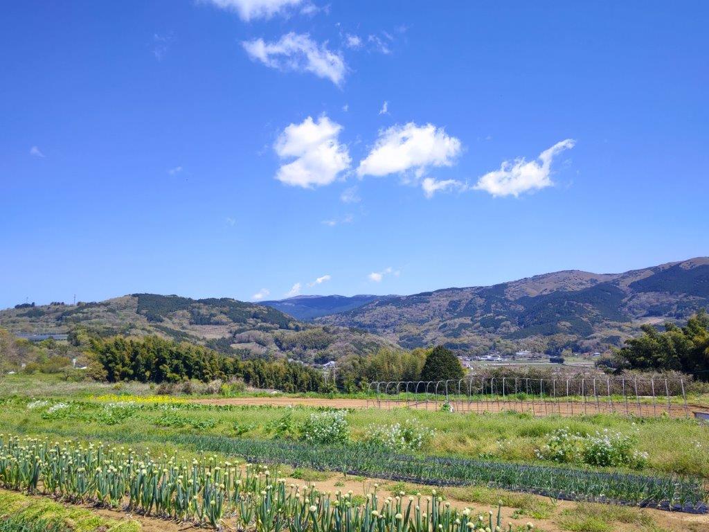
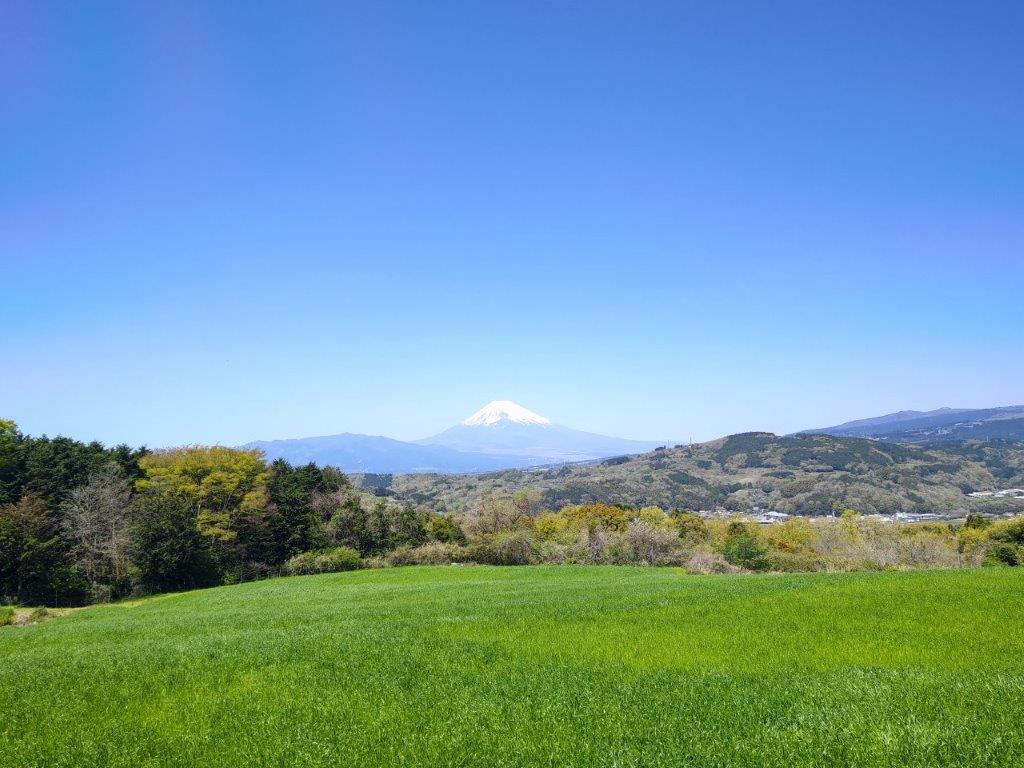
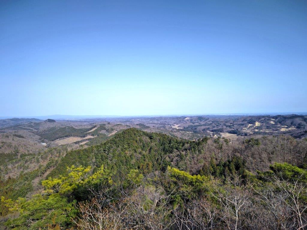
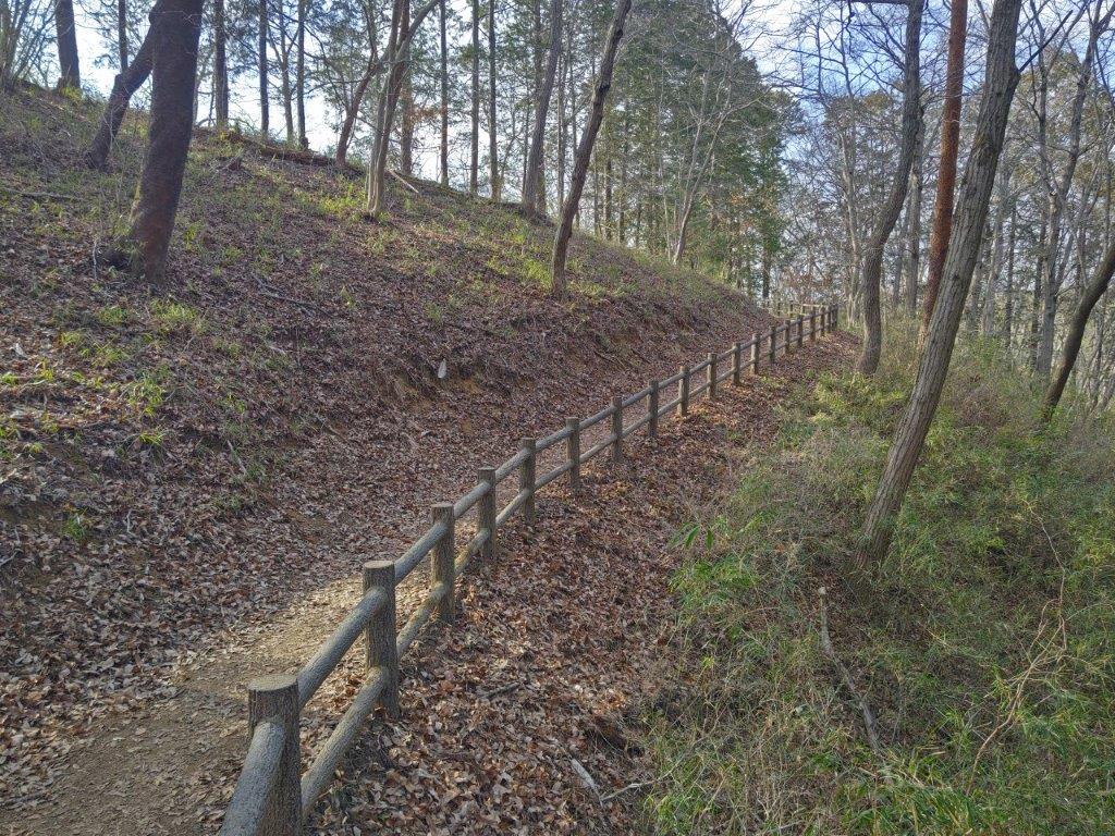
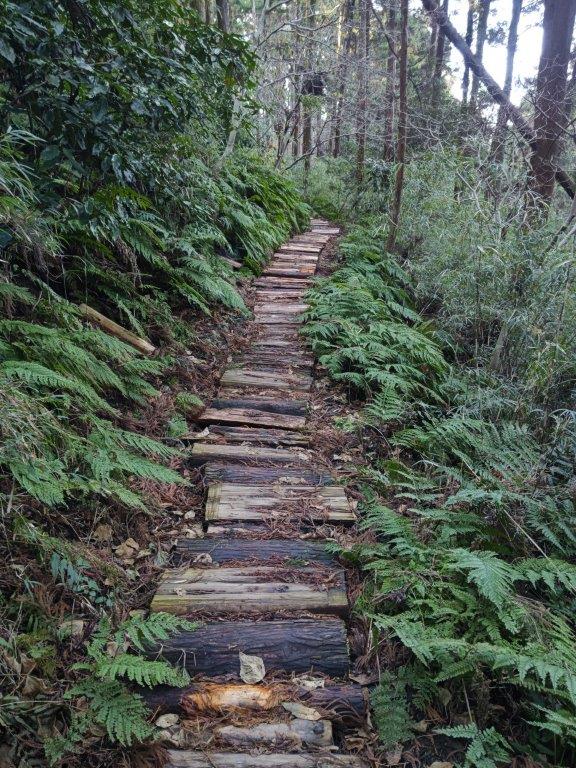
After a short descent, followed by an equally short ascent, I reached the top of Mt Sekison (石尊山 せきそんさん sekison-san) around 2pm. The view on the north side was similar to before, but now, I also had a view of Ogawa Town to the south. There were more hikers here so I quickly moved on. On my last hike, I had continued along a trail past the summit. This time, I retraced my steps a short way, and took a path heading down on the left side; although it wasn’t properly signposted, the trail was in good condition.
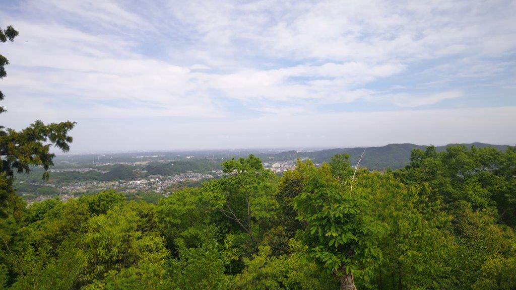
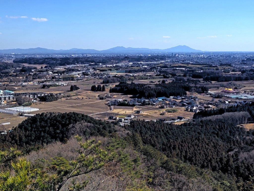
View of Ogawa Town from Mt Sekison


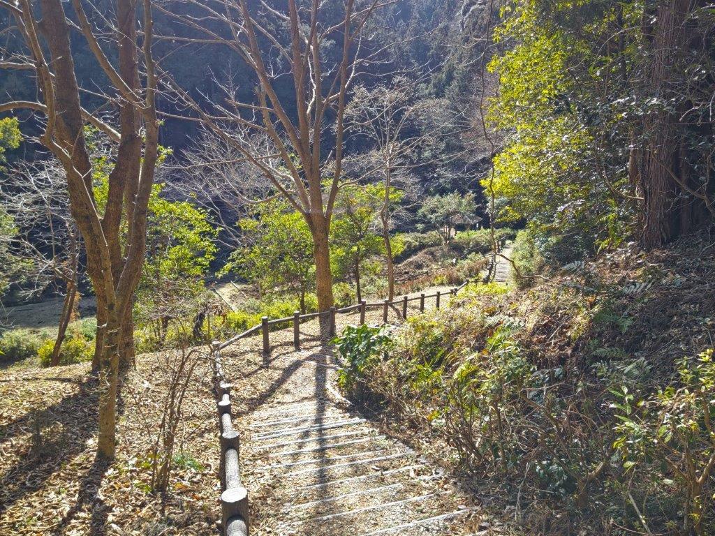
Hiking Down from Mt Sekison
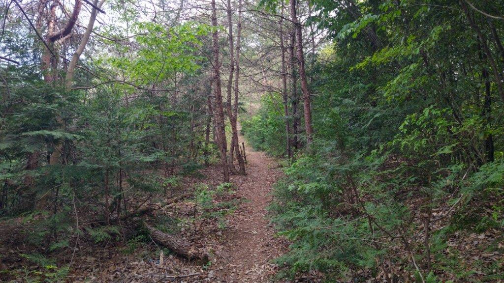
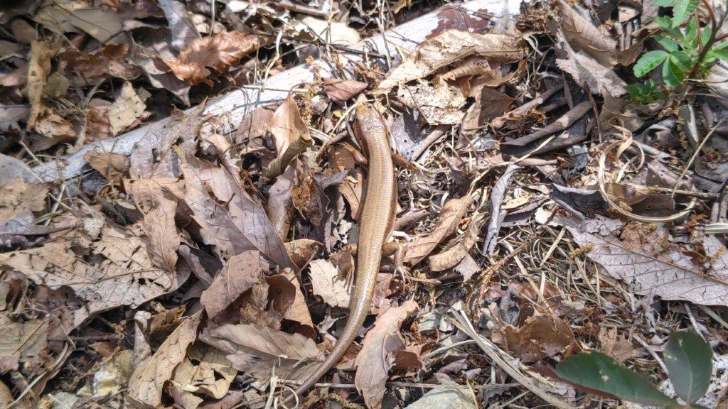
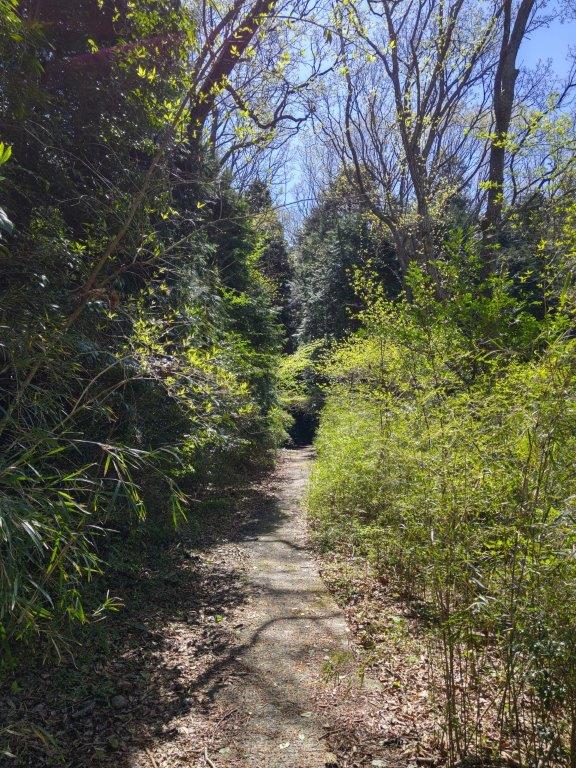
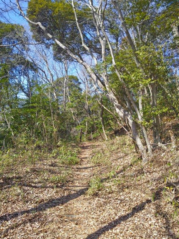
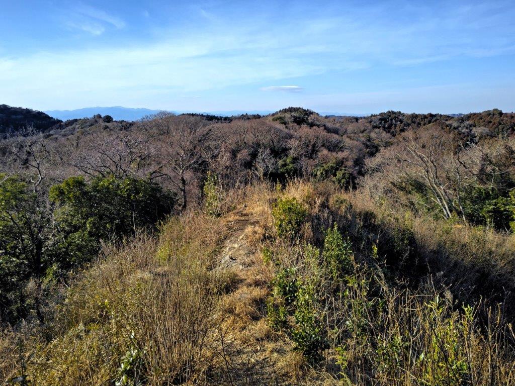
Half way down, I passed through what seemed like a hidden valley: a grassy, flat area surrounded by trees, only the blue sky visible overhead. It was an interesting spot that wasn’t marked on the map. A short way beyond, I passed the ruins of an old fort, its access unfortunately closed off for some reason. I then descended a narrow valley with many Irises (“shaga”) along the way, and emerged onto a road just before 3h30. The bus stop was a short distance away; once back at Ogawamachi station, I caught the express train for the one hour ride to Ikebukuro.

A Hidden Valley on the Way Down from Mt Sekison
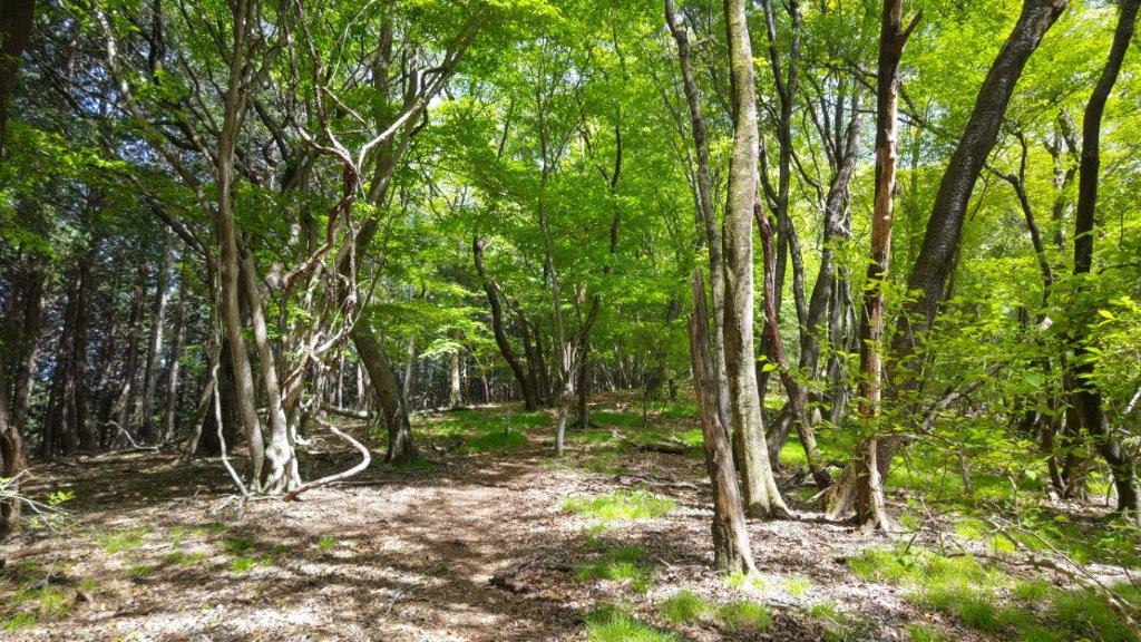
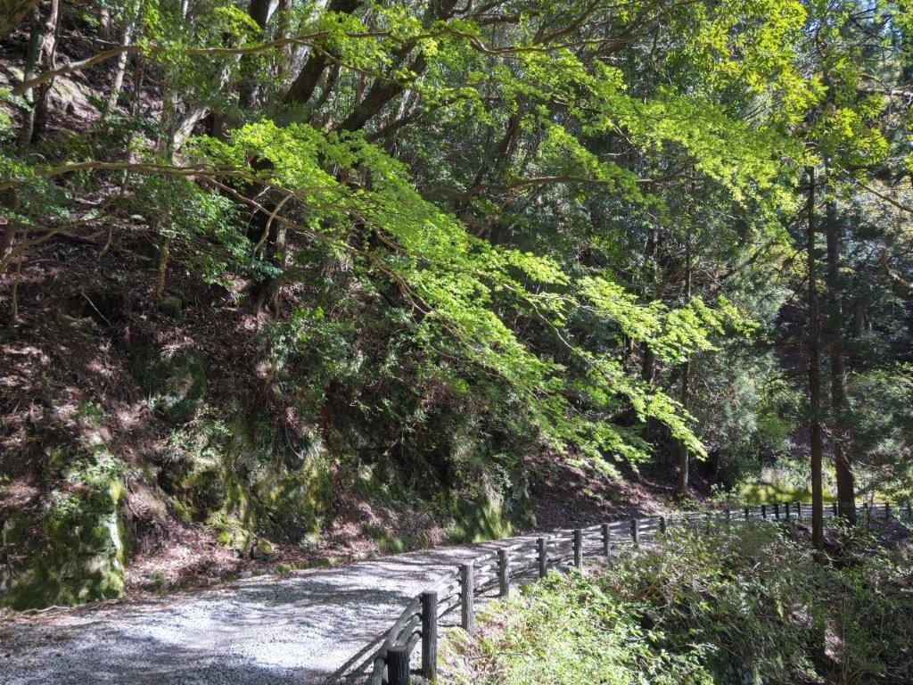
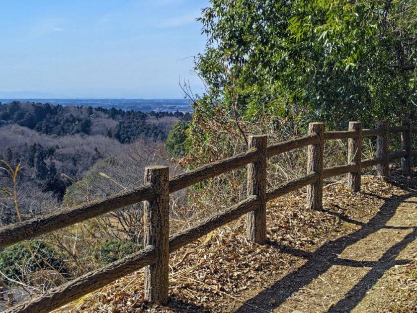
Easy Hiking Near the End of the Hike
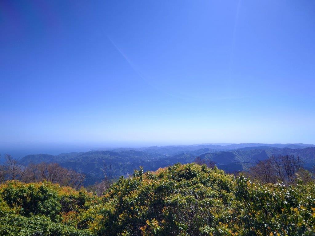
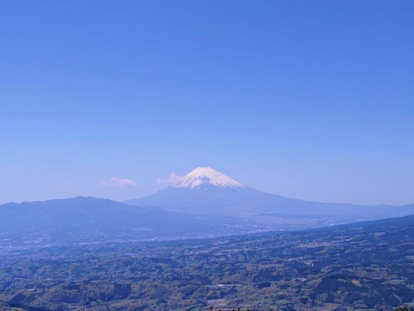
I was glad to redo these mountains via a different route although the weather wasn’t as good as the first time, when I could see as far as Mt Akagi and Mt Haruna. Since it’s less than 4 hours, it’s a really short hike that can’t be stretched any longer without heading up another ridgeline; going up and down the route on the north side is even shorter, less than 2 hours. Next time, it might be interesting to head up in the winter for a clearer view, and also check out the nearby Michi no Eki, Washi-no-sato, as well as a local soba shop.
See a Video of the Mt Usuiri, Mt Kannokura and Mt Sekison Hike
See the video of the hike on Youtube


See a Slideshow of Some More Pictures of the Mt Sekison Hike
Mt Usuiri from Mt Kannokura (June 2016)

East Chichibu from Mt Kannokura (June 2016)


You must be logged in to post a comment.