This was my second visit to Mt Sekiro (石老山 sekirouzan) and the first time taking other people; the photos will be a combination of both trips. I feel that this mountain is really exceptional: it’s close to Tokyo, easy to climb, it has great views (including Mt Fuji), there is a temple at the base, and finally there are few hikers since it’s not a famous mountain.
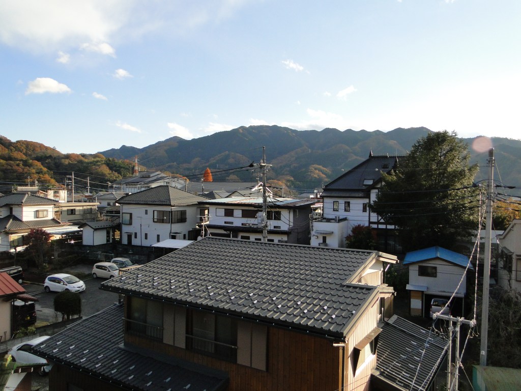
Mt Sekiro from Sagamiko Station
HOW TO GET THERE: Get on the Chuo line for Takao station, ride to the end of the line, and switch to the Chuo line again by simply crossing the platform. Get off at Sagamiko station, the next stop. The only tricky part here is catching a bus to the start of the hiking trail. Departures normally coincide with most train arrivals, but if the wait is too long, it’s possible to take a taxi since it is only ten minutes away.
THE ROUTE: From the bus stop, we crossed the road and headed up the road that lead away from it as a straight angle. There is a sign saying Sekirosan iriguchi (石老山入口 meaning entrance to Mt Sekiro) as well as a big sign showing the route. There are also toilets and a vending machine. After walking along the road for about twenty minutes we reached the start of the trail, behind a hospital. The weather wasn’t great, but it didn’t matter so much since the hike was mostly in the forest during autumn.
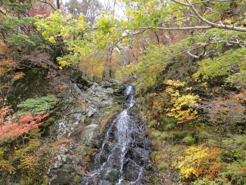
The first part of the hike climbed steadily through a forest of tall cedar trees next to a stream. Massive moss-covered boulders lay strewn on both sides of the path. Some had small signs with Japanese explanations on their legendary origins.
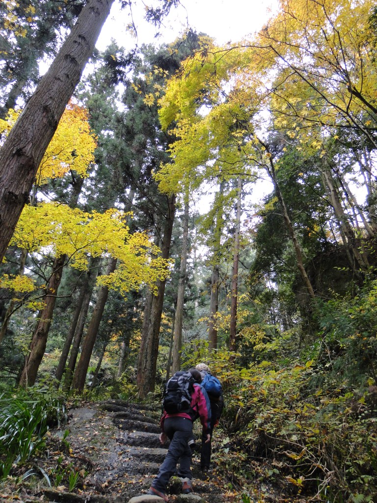
The road to the temple

Huge moss covered boulders
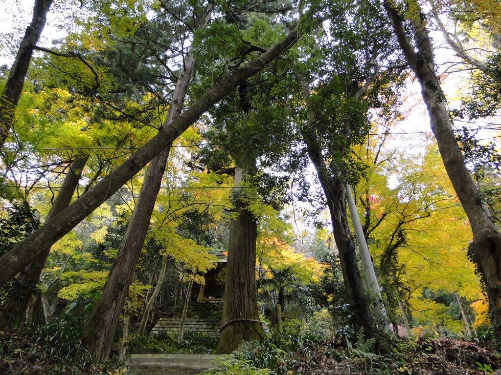
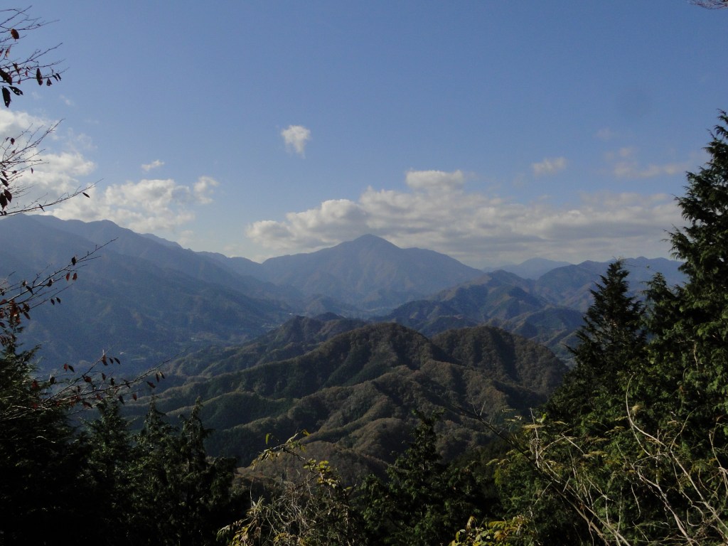
In less than half an hour, we reached Kenkyoji temple (顕鏡寺) perched on the lower reaches of the mountain; we took a photo break since it had some impressive autumn colours. Since there are no other mountains standing in the way, there was also a view west towards Tokyo, but clouds and smog meant that visibility was limited. Northwards, we could see Mt Takao, the closest mountain to Tokyo.
The trail continued behind the temple, winding back and forth, eventually a fork, unmarked on the map. We asked a small family on their way down who confirmed that the paths connected further up and that the right one was easier to walk. We took the right branch and were rewarded with some more nice westward vistas, as the path curved around the side of the mountain.
Autumn colours were in full swing
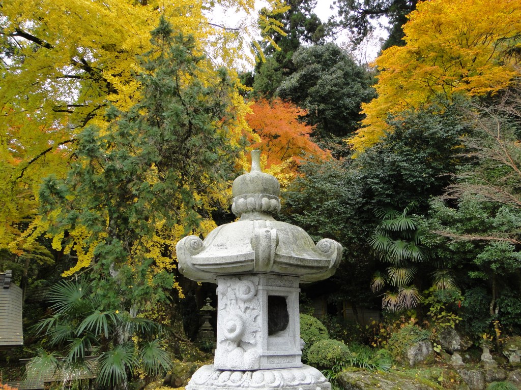
Orange and yellow fighting for dominance behind a stone lantern
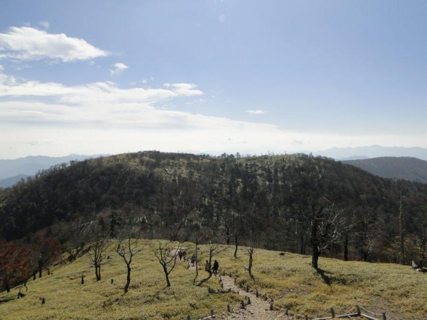
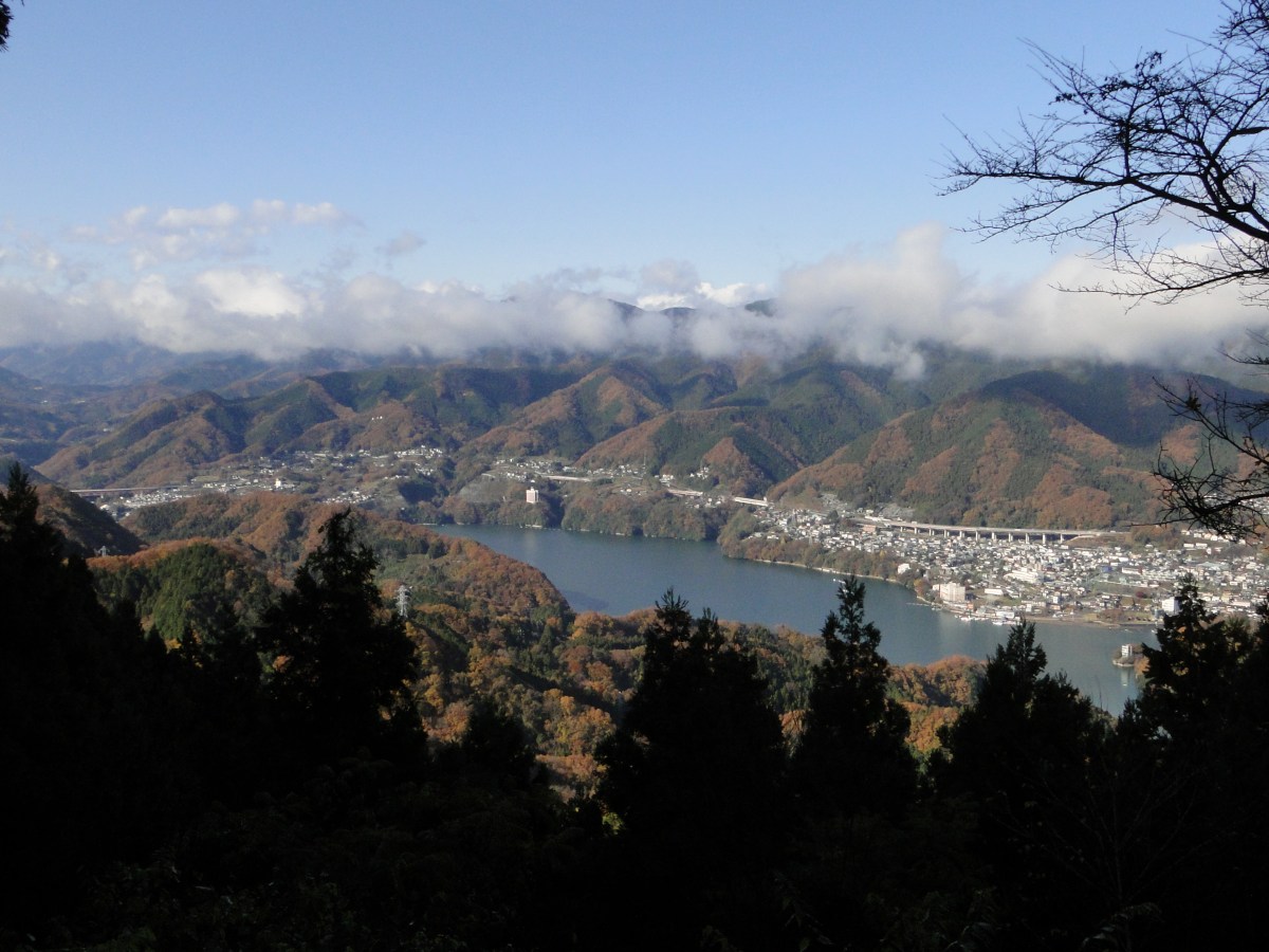
Before we knew it, the paths joined up. From that point, the path climbed gently through the forest till a fantastic viewpoint of Lake Sagami. We couldn’t really see much of the view, since the weather was still cloudy. We continued up the mountain at a good pace and meeting few people. The path was a series of short steep climbs followed by flat or slightly downhill sections.
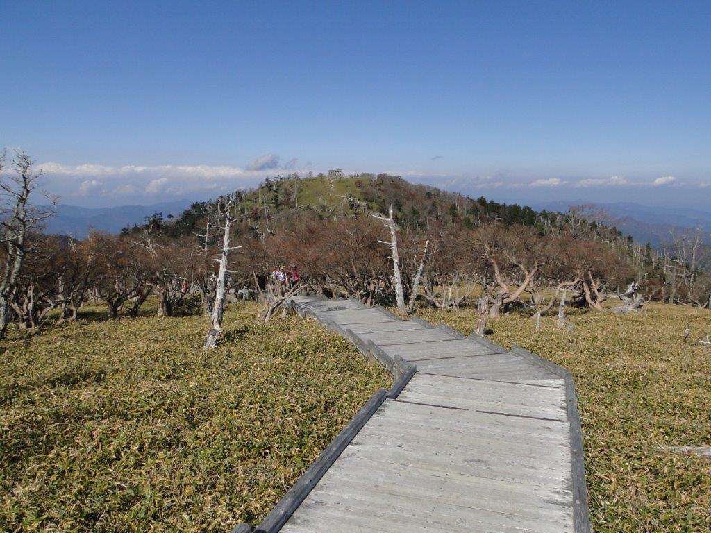
We reached the summit two hours after starting out. There were two or three tables where you can have a picnic while admiring the view of Mt Fuji. Unfortunately today the weather had steadily been getting worse, and there was no hope of seeing the majestic volcano today. We repaired to a table under a tree out of the cold wind that had suddenly started blowing, and prepared our ramen lunch.
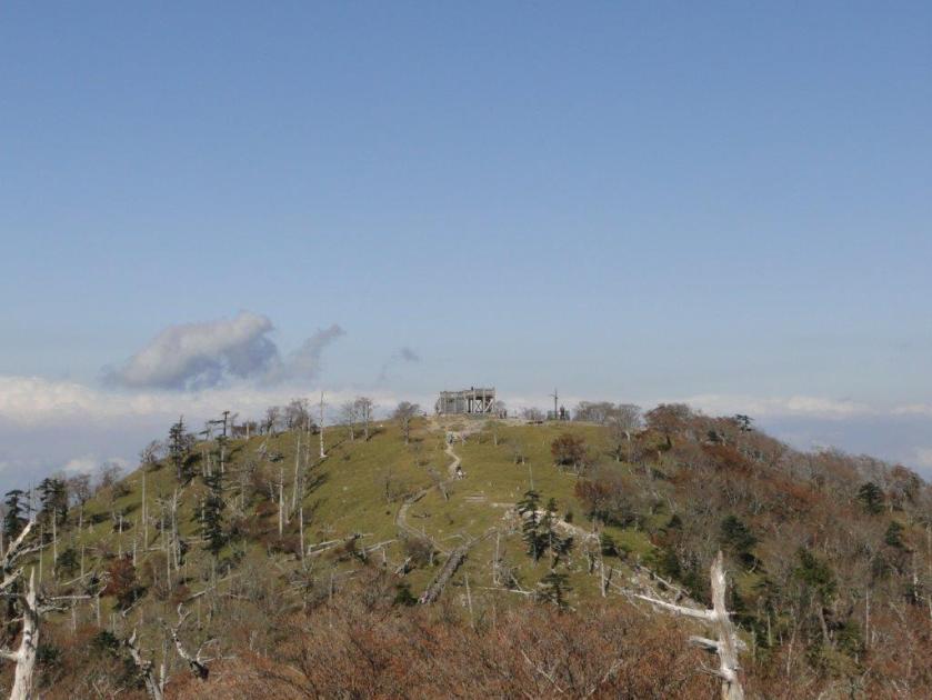
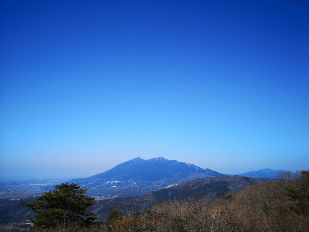
View from the with Mt Omuro in the center (taken the previous year)

First glimpse of Sagami lake on the way down
Even though it was the first of December, the temperature had been warmer than expected. However it suddenly turned freezing and the clouds got greyer. I noticed some white specks on the table; amazingly, it had just started snowing! it wasn’t even the beautiful snowflake type of snow; it was the hard granular kind, that was more like sleet, forcing us to gulp down our lunch, and leave as quickly as possible. By that time, my fingers were feeling pretty numb from the cold.
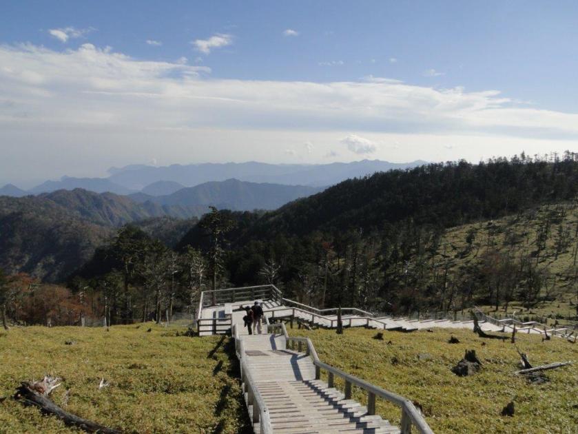
I had originally planned a loop hike but decided on the spot, that we should head down the same way; it would be safer to down a familiar way in a freak snowstorm. However, as soon as we got a few meters from the summit, the snow stopped falling and it felt noticeably warmer. Ten minutes later we had blue skies above our head and the sun was shining. The storm was over just as quickly as it had started. The path looked quite different going down especially now that the weather was so good. The view of lake Sagami was completely different and we could see the mountain ranges beyond.

Sunny woods

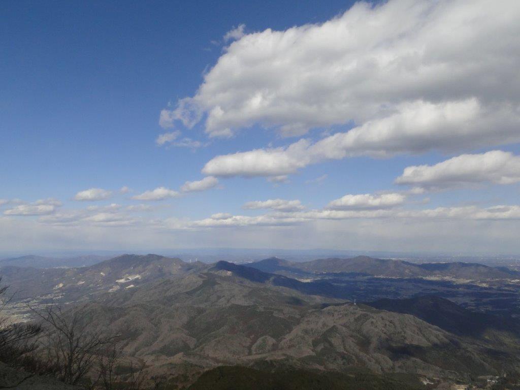
View towards Tokyo
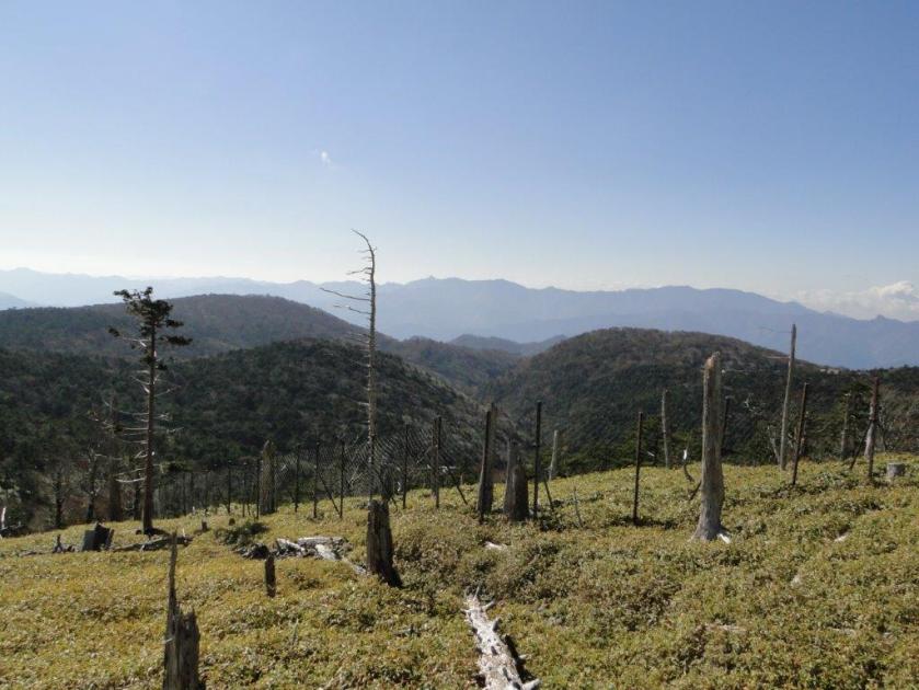
At the junction, we took the other path so as to complete the loop. Just below, there is a good view of Mt Sekiro, as well as the mountains to the west. The path passes through some more huge boulders, but it wasn’t particularly difficult. We got down ninety minutes, and after a twenty minute wait, we were able to hop onto a bus back to the station. In good weather, it’s possible to continue beyond the summit and make a loop back to the start of the hike.
CONCLUSION: Great hike for the late autumn / early winter period, because of its short length and relatively low altitude. It can be combined with some neighbouring mountains if you are a fast hiker.
As of October 2020, the trail around Kenkyoji Temple (顕鏡寺) is still closed due to trail damage due to last year’s Typhoon 19 / Hagibis – it’s not possible to reach the summit of Mt Sekiro via this route. No reopening date has been set yet. Please check the Sagamiko Tourist Association website for future updates.
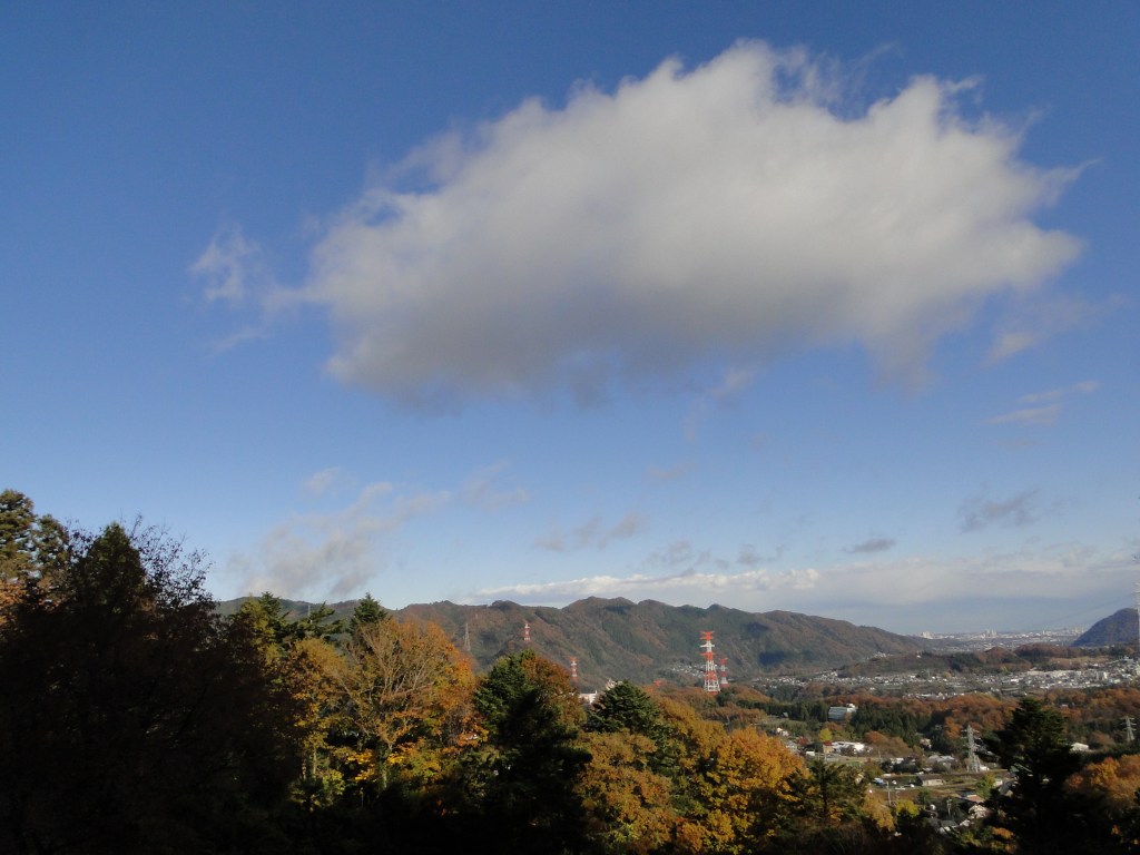
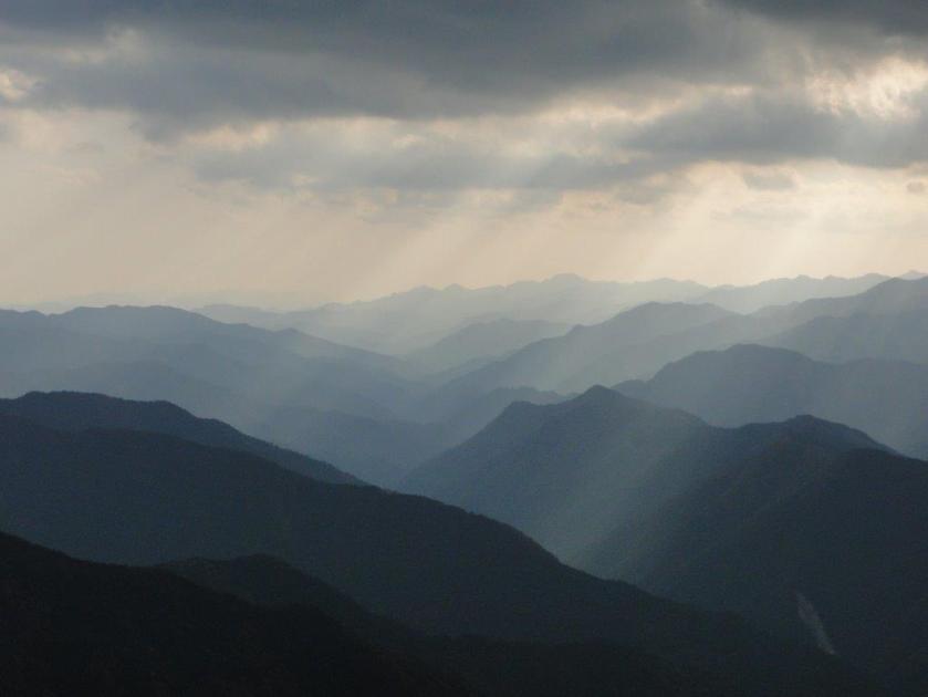
The Takao range seen from the temple

![Mt Omine (1915m) & Mt Odaigahara (1695m), Nara & Mie Prefectures, October 2014 [Maps Available]](https://hikingtokyo.com/wp-content/uploads/2022/12/dsc05061.jpg?w=1024)


![Mt Shakushi (1597m), Fujiyoshida City, Yamanashi Prefecture [MAP AVAILABLE]](https://hikingtokyo.com/wp-content/uploads/2012/11/dsc05095b.jpg?w=1200)


You must be logged in to post a comment.