Located on the Pacific side of the southern part of the Boso Peninsula, this loop hike is perfect for the colder winter months. On a clear day, it’s possible to see all the way to Mt Fuji from the top of karasubayama (烏場山), one of the many viewpoints along the way.
Hiking on the Boso Peninsula房総半島
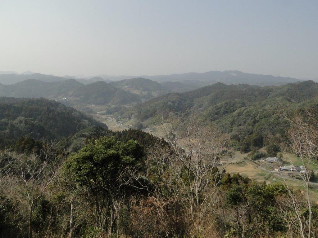
View North from near the top of Mt Karasuba
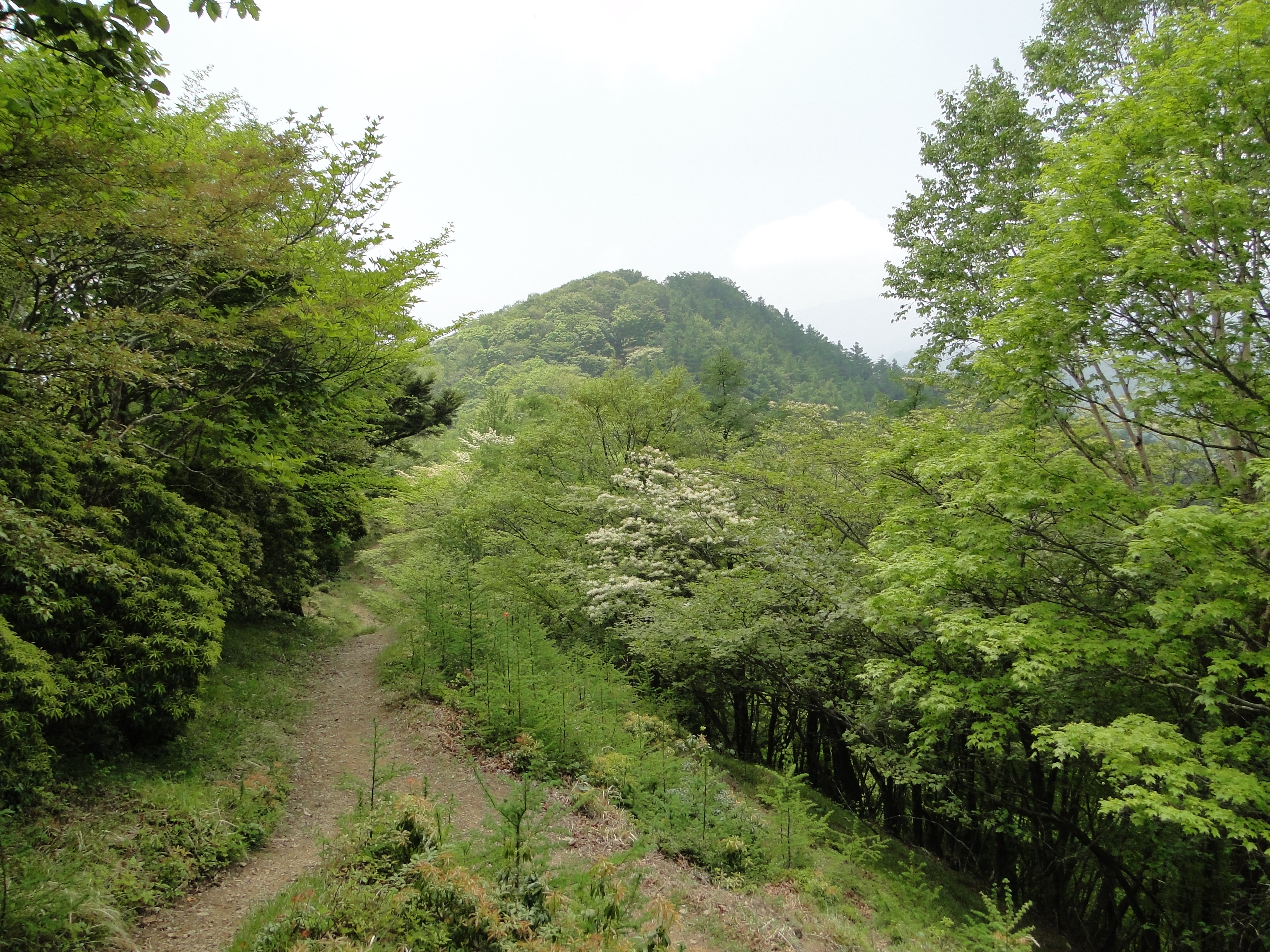
Hiking along the Bride Route
Despite its low elevation, this 5-hour up and down route is best attempted by fit, experienced hikers, as there are no escape routes along the way. It’s recommended to do it in a clockwise direction, starting with the “hanayome” or bride route (花嫁コース), continuing with the “hanamuko” or bridegroom route (花婿コース), and ending with the “kurotaki” or black waterfall Route (黒滝コース) which passes by Kurotaki waterfall.
Hiking along the Bridegroom Route
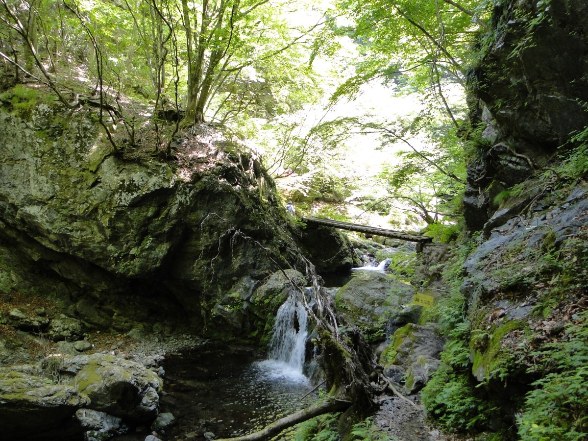
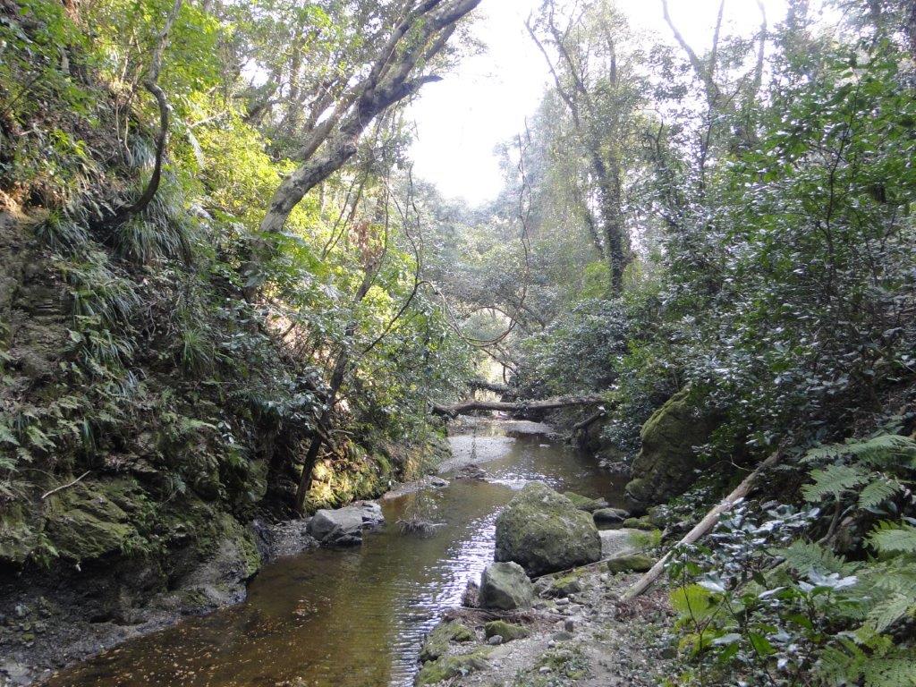
Hiking along the Kurotaki Route
The start of the hike can be conveniently accessed on foot from Wadaura Station on the Uchibo local line, a little over 2 hours from Tokyo, thanks to the comfortable Wakashio limited express that runs between Tokyo and Awa-Kamogawa stations.

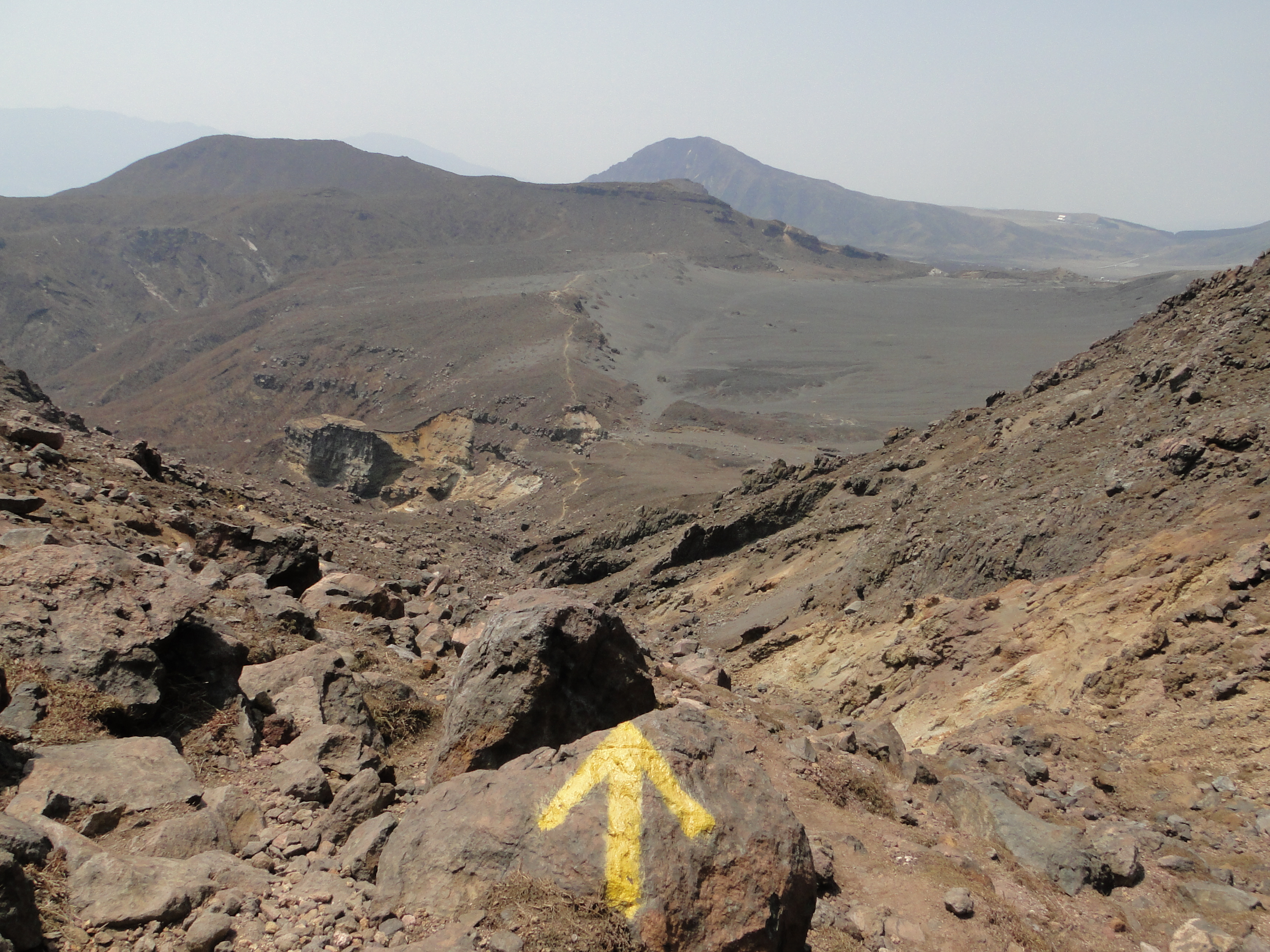
![Mt Kuju (1791m) & Mt Aso (1592m), Oita & Kumamoto Prefectures, April 2014 [Maps Available]](https://hikingtokyo.com/wp-content/uploads/2023/01/dsc09265.jpg?w=1024)


You must be logged in to post a comment.