
As the Autumn season gets into full swing and with winter just around the corner, it’s a good time to look at hiking options closer to Tokyo. In this article I will briefly introduce 3 main areas in the Tokyo area with their highlights.
OKUTAMA 奥多摩
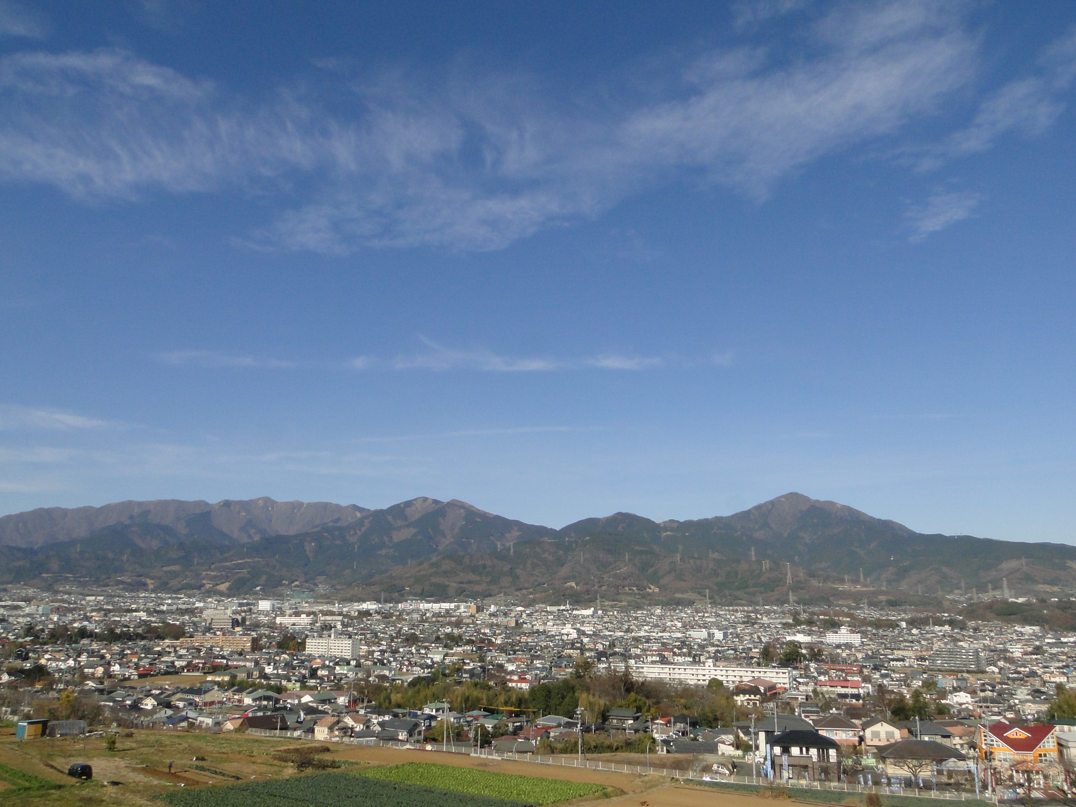
First up in terms of popularity is Okutama, the mountainous area straddling the Western part of the Tokyo prefecture. The Chuo and Ome lines will take you into the heart of the mountains to Okutama city at the end of the line, from where buses can whisk you further into the mountains. Notable peaks include Mt Kumotori, Mt Mito, Mt Odake, Mt Gozen, Mt Kawanori, the 3 peaks of Mt Takamizu and Mt Mitake. Less strenuous hiking options include visits to Okutama lake followed by a walk along the old Okutama road, exploring the Nippara limestone caves, and walking along the Tama river ending with a visit to the the Ozawa sake brewery in Sawai. There is an information office outside the train station but note that most buses leaves shortly after the train arrives so planning ahead is recommended.
TRAVEL TIP: There are daily direct trains from Shinjuku to Okutama leaving fairly early in the morning but make sure to confirm with the conductor which carriage to board since the train splits mid-way, with one half going on to Musashi-Itsukaichi. There are also direct trains back in the mid-afternoon. If you miss those, expect to change trains at least twice on the way back so check the times in advance.

TANZAWA 丹沢
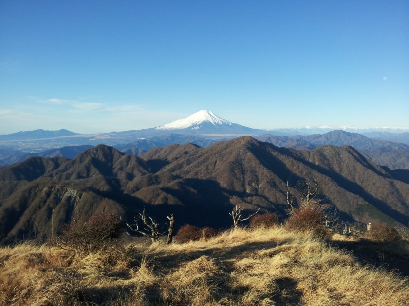
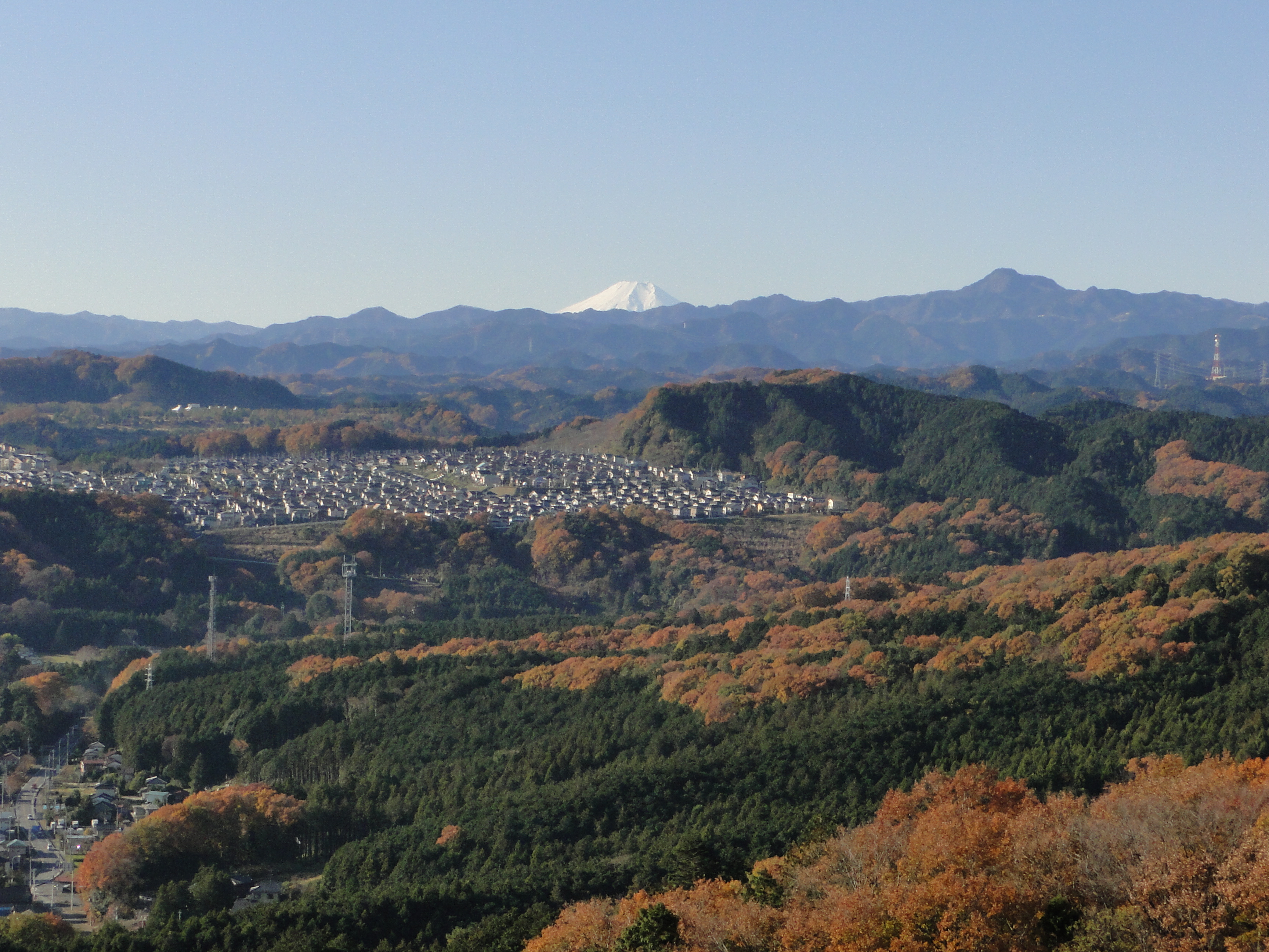
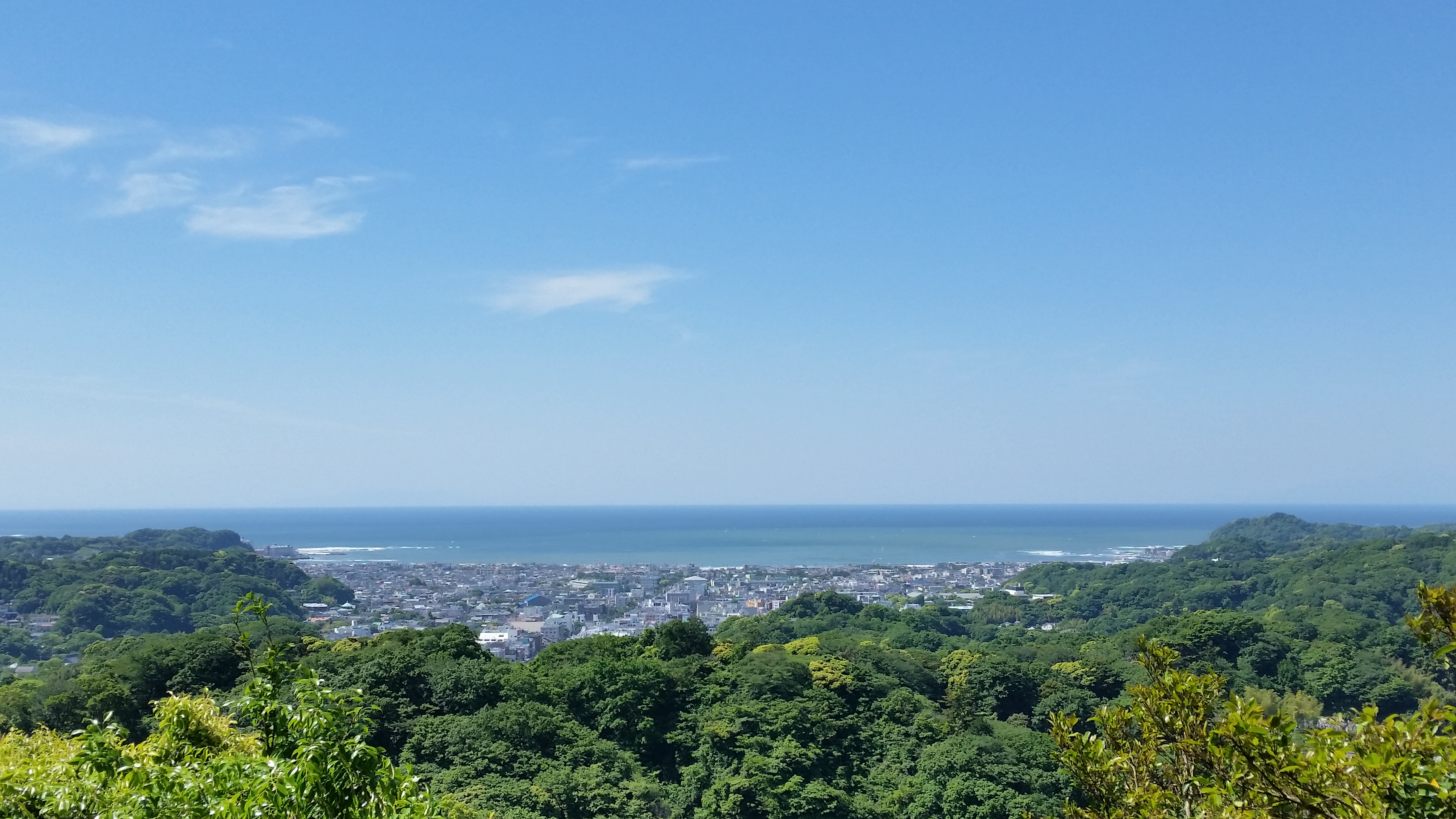
Next, in terms of the volume of hikers, would be the Tanzawa range in Kanagawa prefecture. In this case, access is via the Odakyu line which hugs the Southern side of the range before heading towards Hakone. One can get off at a number of stations on the way and catch frequent buses to various entry points into the mountains. The most notable ones are Isehara for Mt Oyama (which has a ropeway to take you halfway up this “big” mountain), Shibusawa for Mt Tonodake (popular with school children) and Matsuda for the Nishi-Tanzawa area and Mt Oomuro. What makes this area particularly attractive are the views of Sagami bay to the South, Mt Fuji to the West and the extensive Tokyo metropolis to the East. A word of caution though: most hikes have steep slopes and can be quite strenuous and are thus not really suited for beginners.
TRAVEL TIP: The Odakyu line runs a limited express train between Hakone and Shinjuku, “the Romance car”, which stops at Matsuda station and can provide a faster and more comfortable (but more expensive) trip there or back. An option worth considering after a tiring hike.
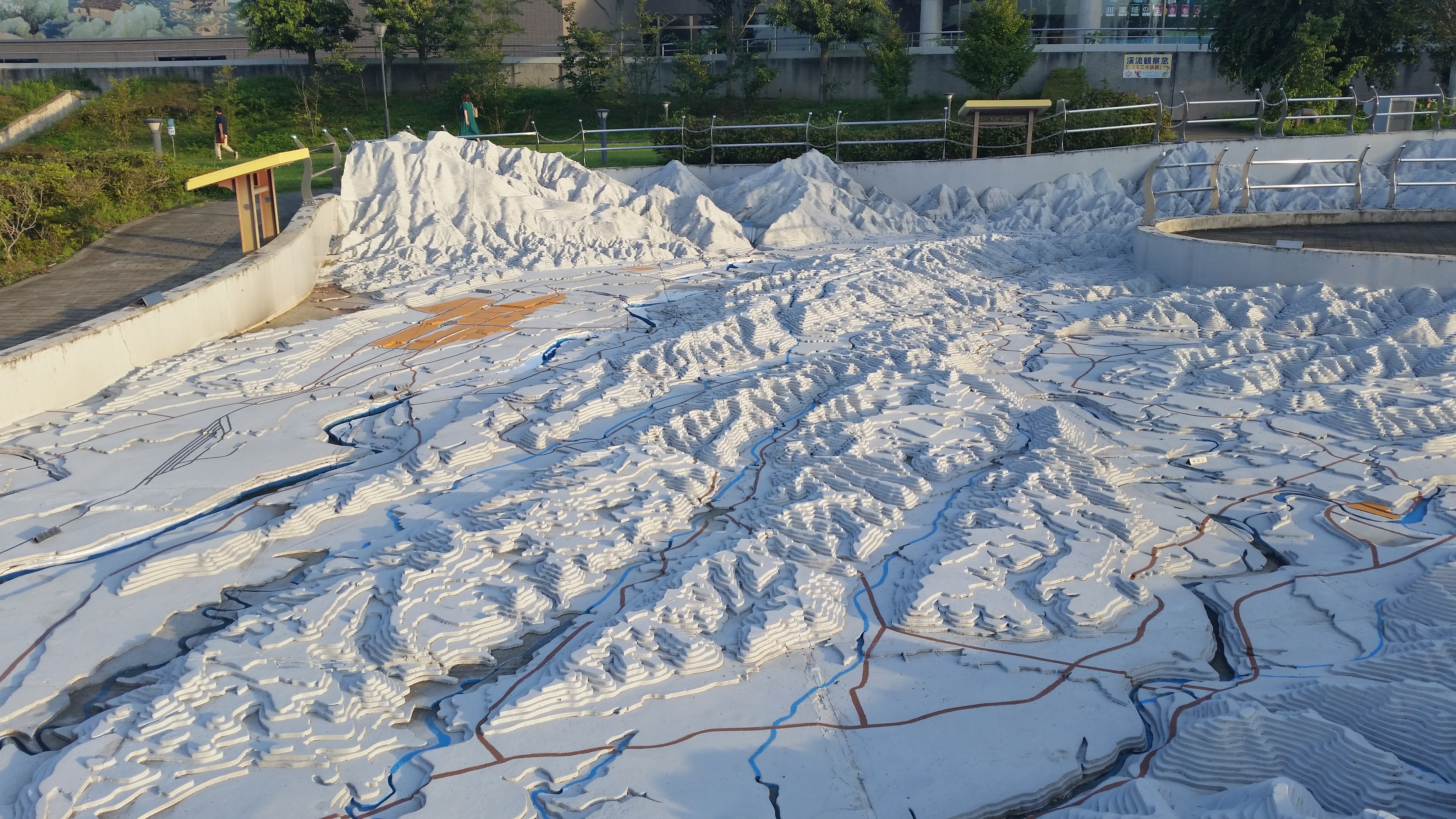
CHICHIBU 秩父
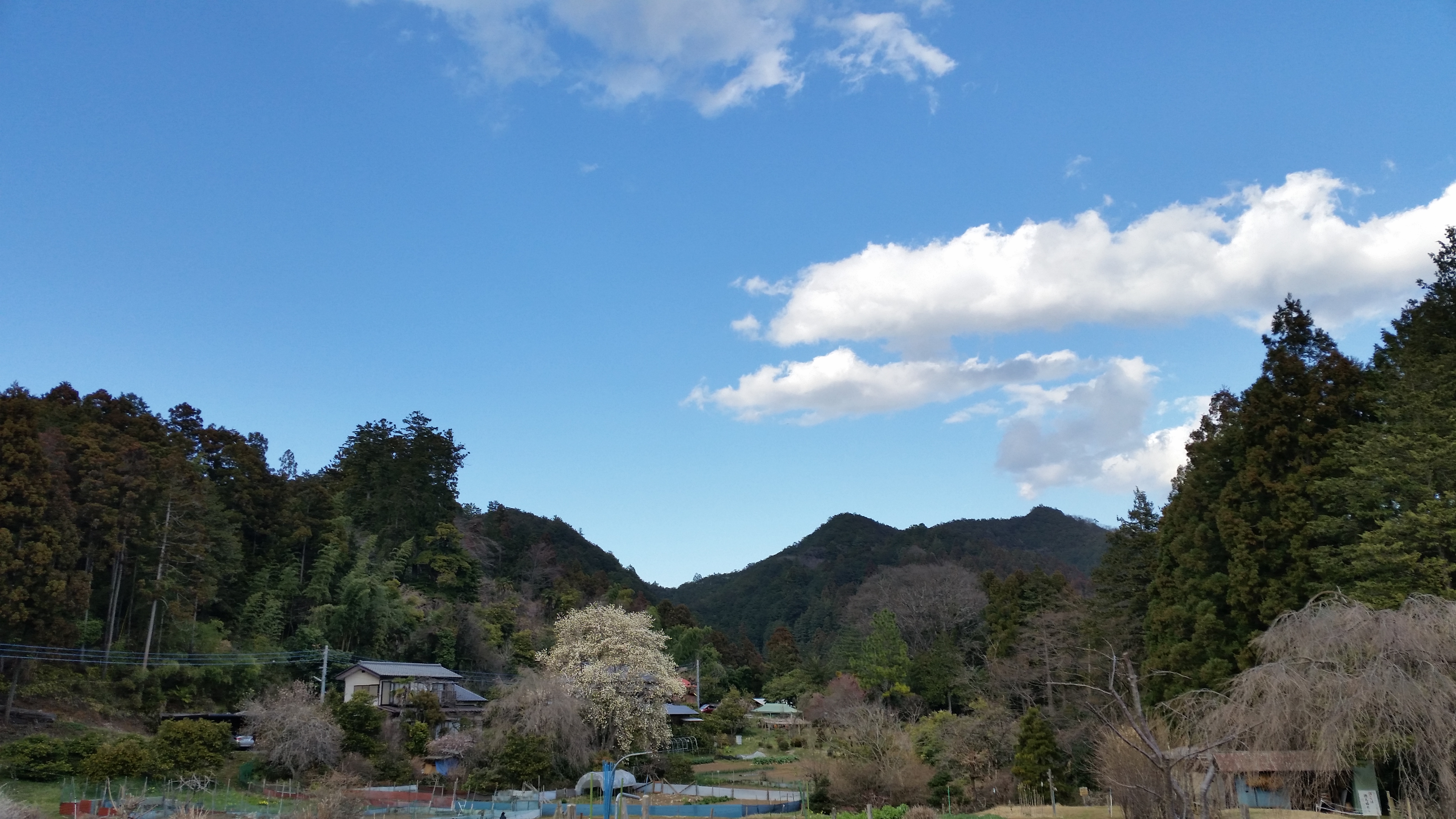
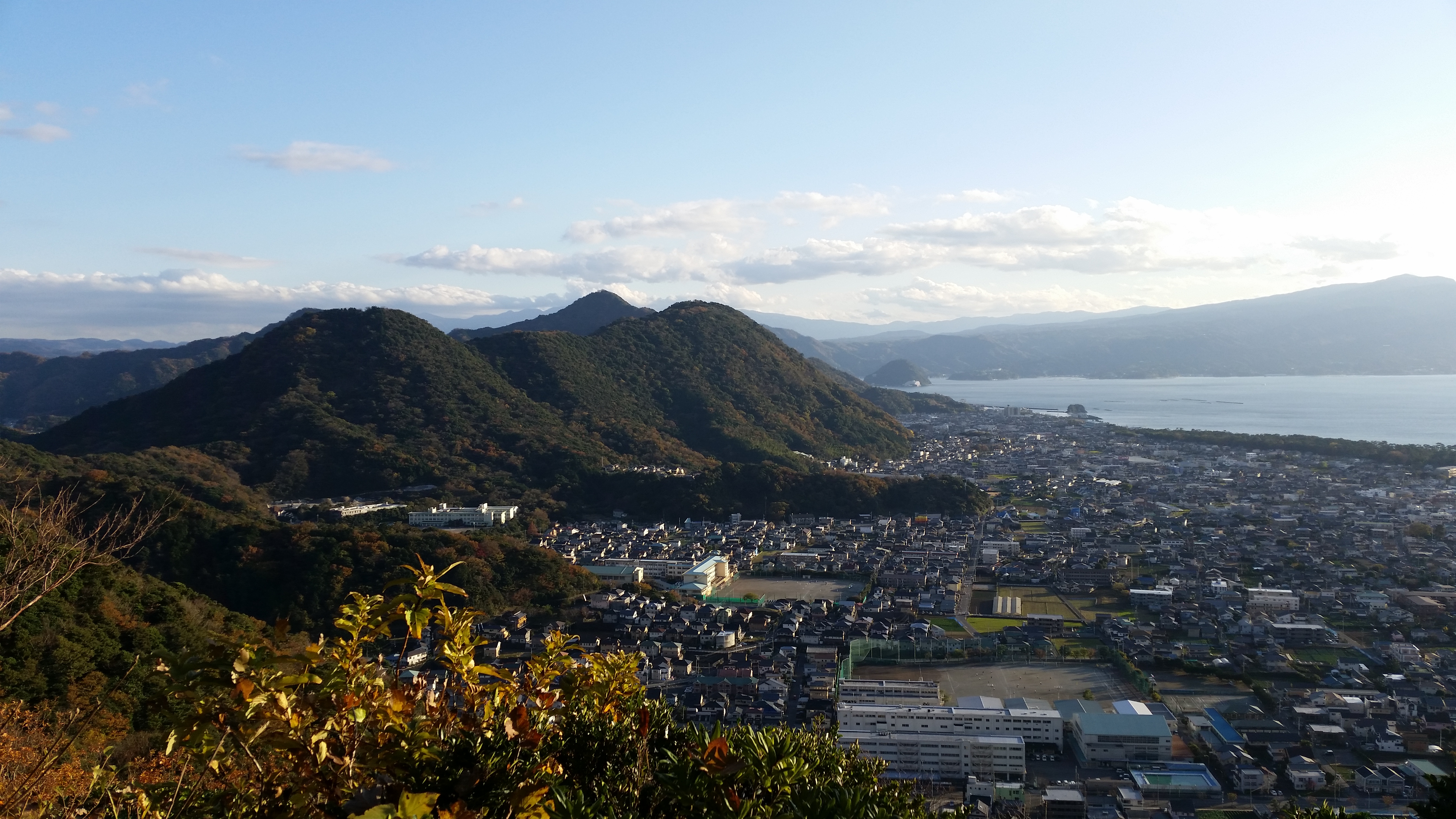
Finally, my personal favourite, the Chichibu area, which despite having the most hiking options seems to be the least popular of the three. The Seibu-Chichibu line ends at Chichibu city in the center of a wide valley surrounded by mountains. A few minutes away on foot is Ohanabatake station on the Chichibu railway (which sometimes runs an authentic steam locomotive) that can take you either East towards Nagatoro, famous for its rapids, or West towards Mitsumine Guchi, 40 minutes away by bus from the famous Mitsumine shrine. The Nagatoro side has lower peaks and gentler slopes that are suitable for beginners such as Mt Mino and Mt Hodo. The area beyond the Mistune Guchi is higher and has more difficult terrain. The main peak is Mt Ryokami but there are a number of other interesting peaks to climb in the area such as Mt Chichibu-Mitake, Mt Azuma and Mt Myouhou.
TRAVEL TIP: The Seibu line runs regular Limited express trains “the Red arrow”, which can get you from Ikebukuro to Chichibu city quickly and comfortably. Alternatively, for those on a budget, there are 2 local trains departing Ikebukuro station fairly early in the morning that take you directly to either Mitsumine Guchi or Nagatoro. The train splits before Chichibu city so confirm with the conductor where to get on. There are also 2 direct trains for the return in the mid-afternoon.

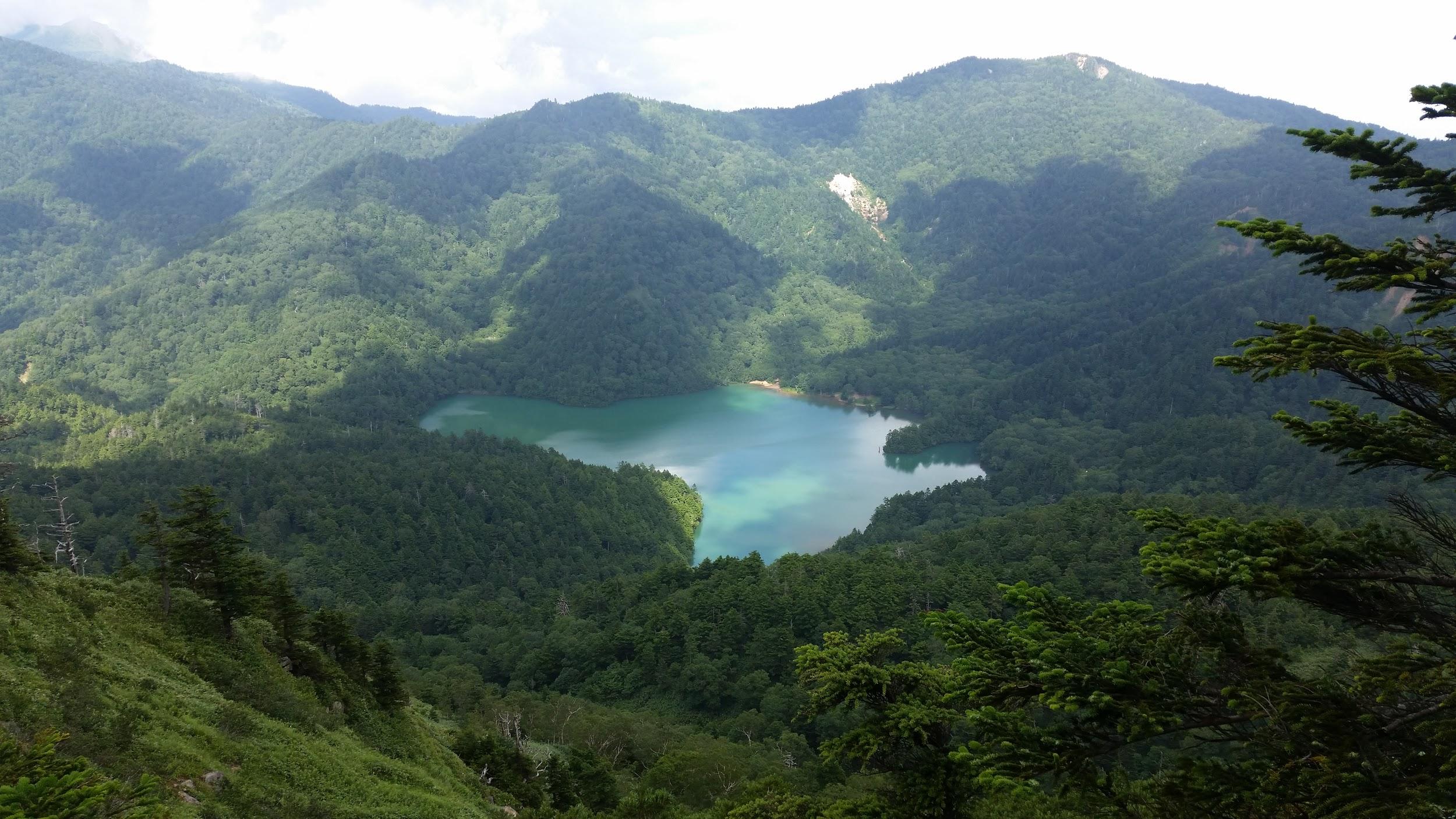
![Mt Hakusan (2702m)& Mt Arashima (1523m), Ishikawa and Gifu Prefectures, September 2017 [Maps Available]](https://hikingtokyo.com/wp-content/uploads/2022/11/20170903_175823-1.jpg?w=1024)


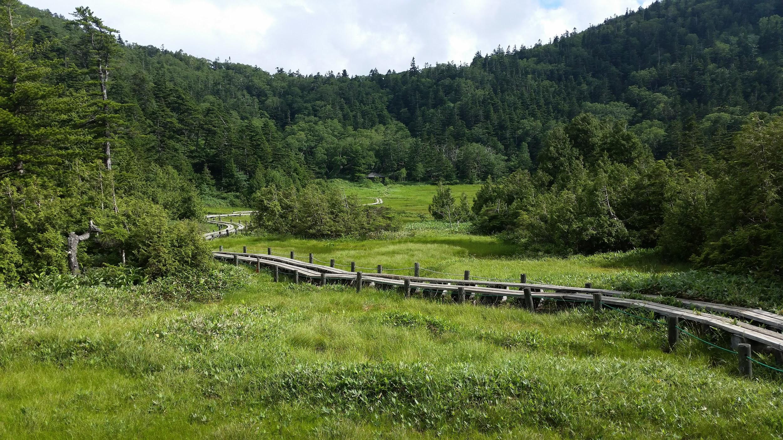
![Mt Kiso-Koma (2956m), Komagane City, Nagano Prefecture, Wednesday, August 2, 2017 [Map Available]](https://hikingtokyo.com/wp-content/uploads/2022/06/dsc08362.jpg?w=1024)

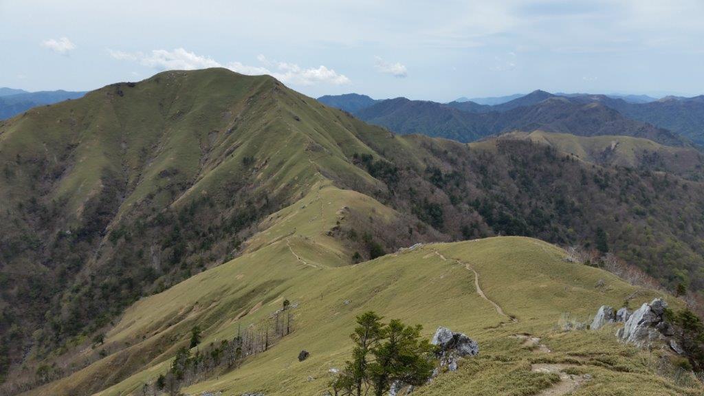
![Mt Norikura (3026m), Takayama City, Nagano Prefecture, Tuesday, August 1, 2017 [Map Available]](https://hikingtokyo.com/wp-content/uploads/2022/06/dsc03740.jpg?w=1024)


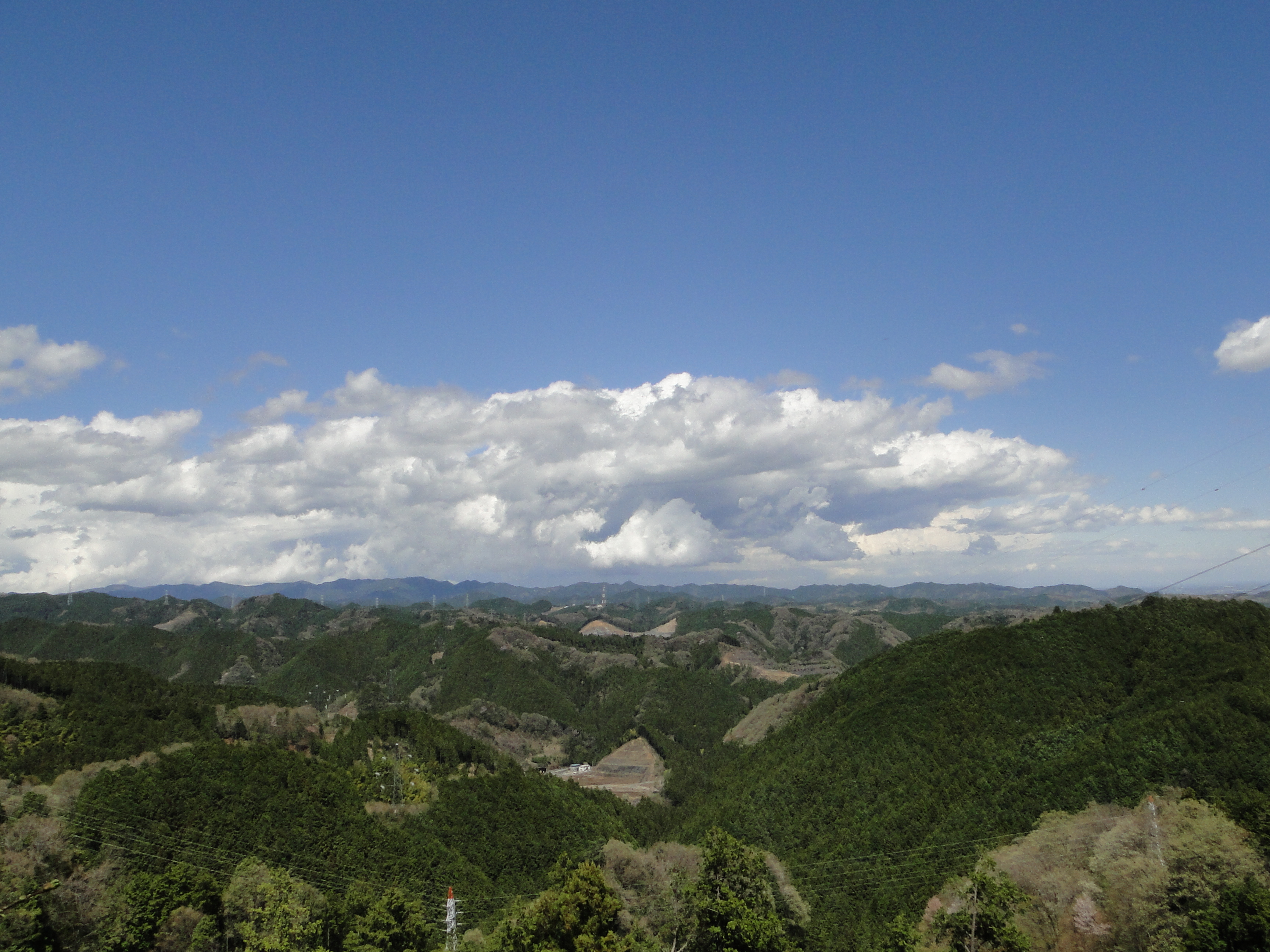
![Mt Tsurugi (1955m) & Mt Ishizuchi (1982m), Miyoshi & Saijo Cities, Tokushima & Ehime Prefectures, May 2017 [Maps Available]](https://hikingtokyo.com/wp-content/uploads/2023/04/20170516_131630.jpg?w=1024)


![Mt Daisen (1729m), Tottori Prefecture, November 2016 [Map Available]](https://hikingtokyo.com/wp-content/uploads/2023/04/20161107_110534.jpg?w=1024)


You must be logged in to post a comment.