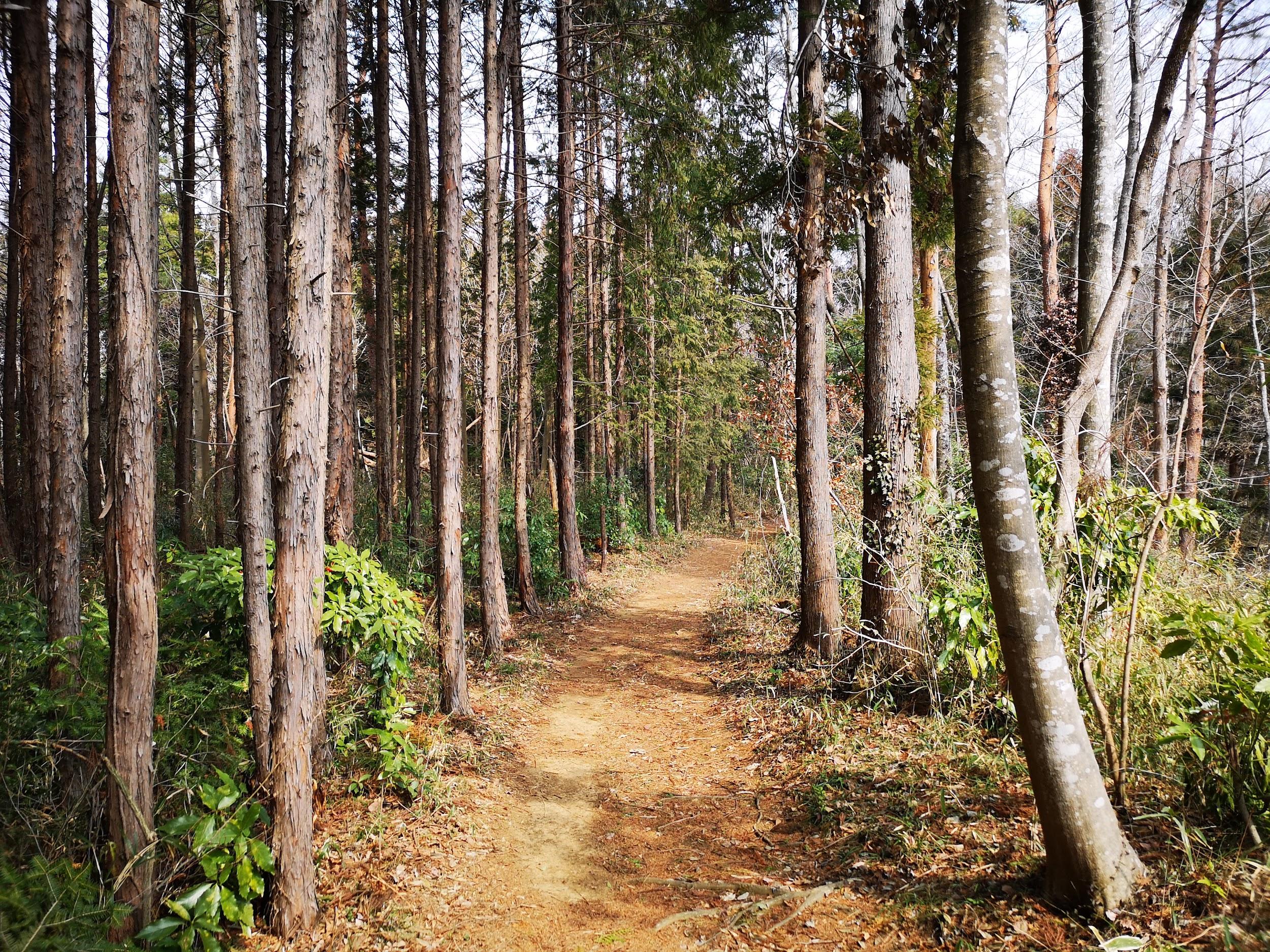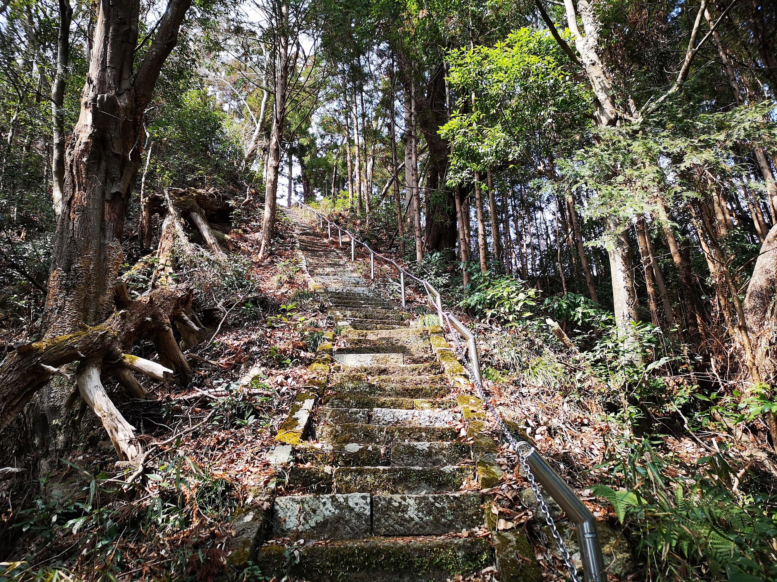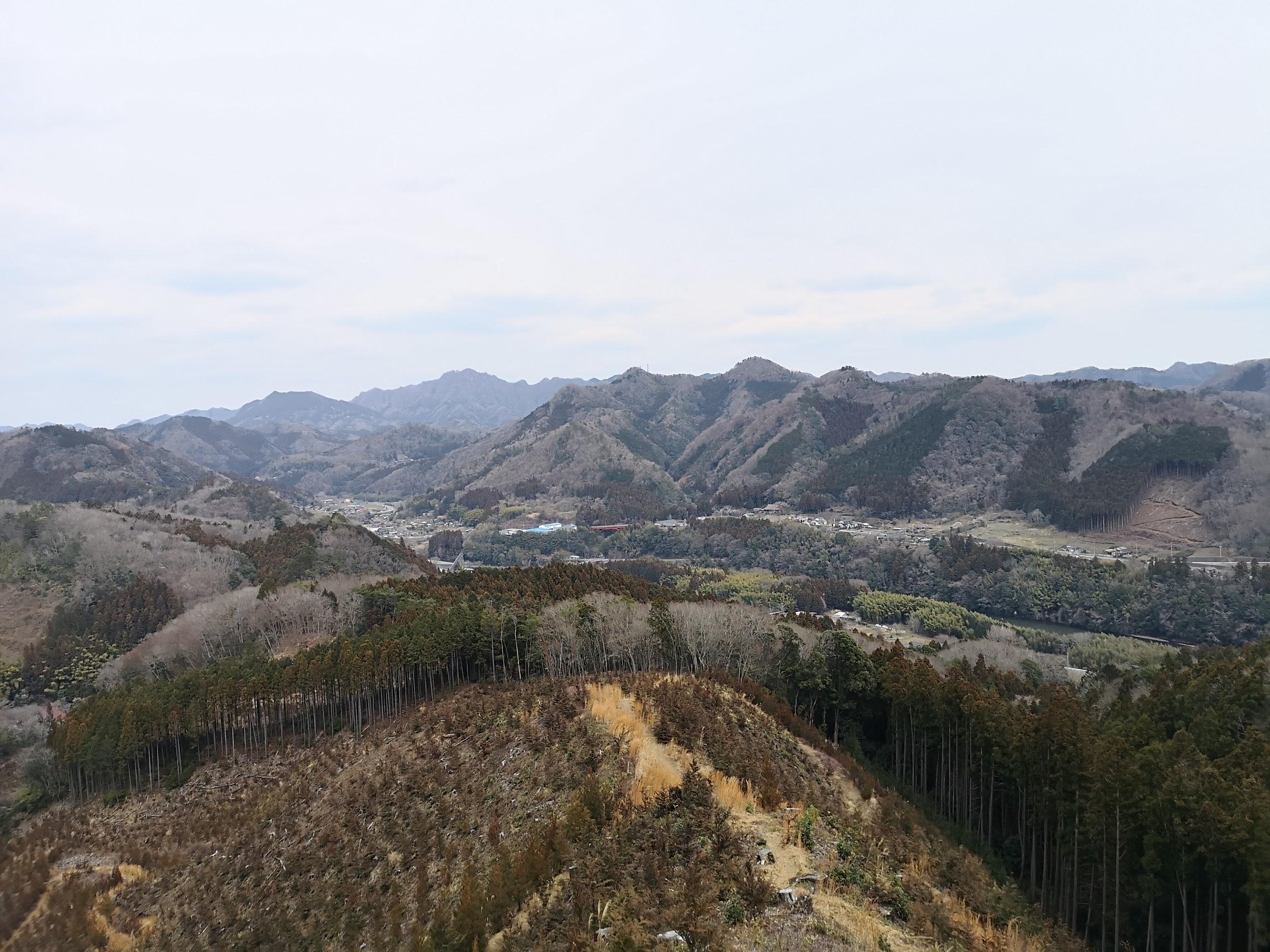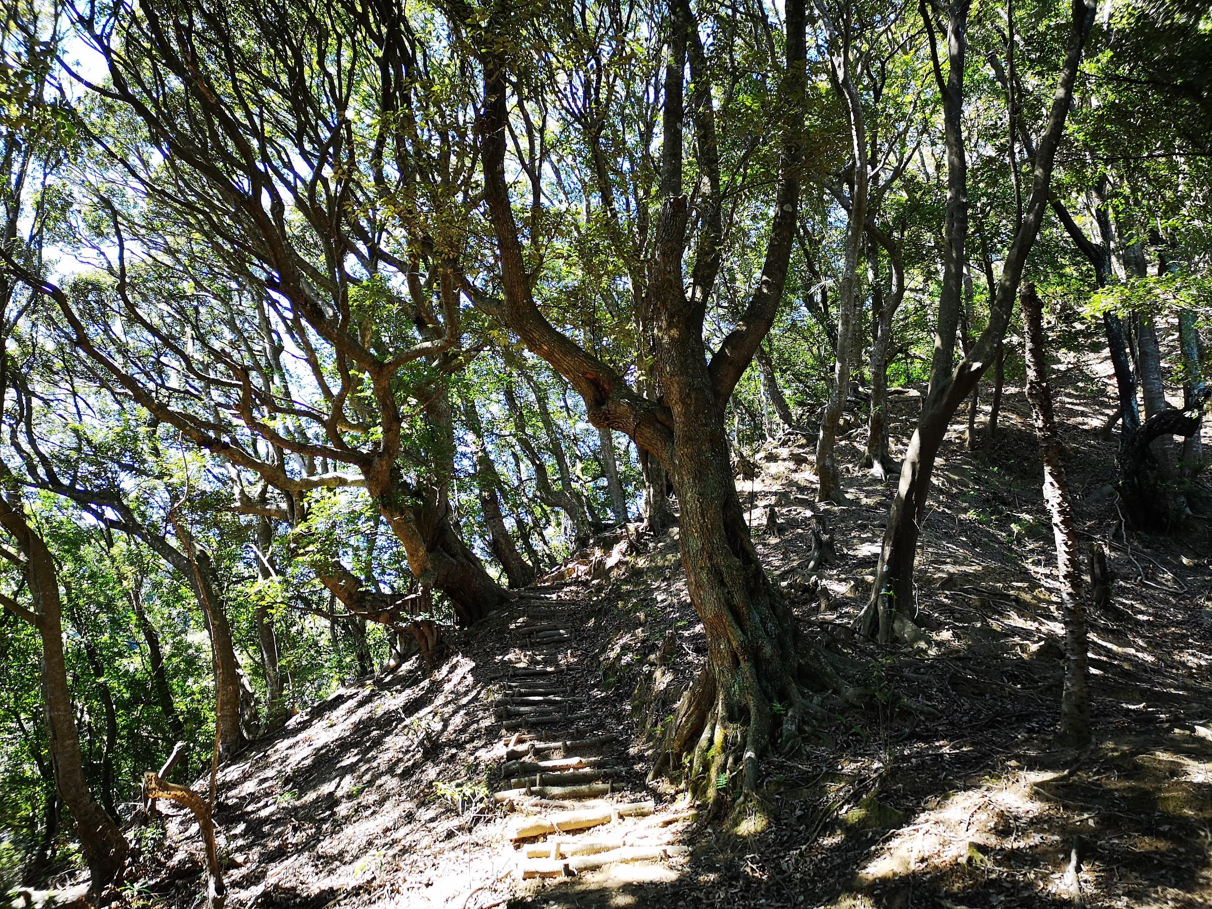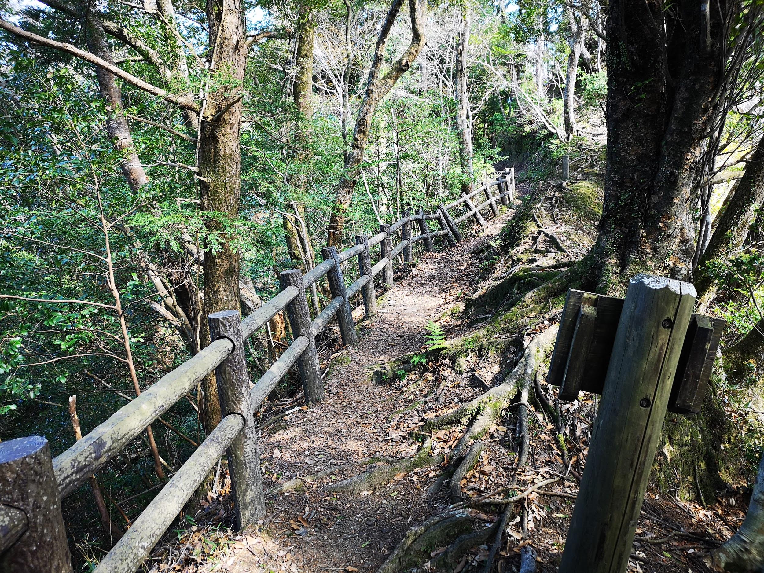
Hiking the Nakasendo: Magome-Juku to Tsumago-Juku, Gifu and Nagano Prefectures, October 2019 [Map Available]

I had been planning to hike the old Nakasendo highway (中山道) between two of its most famous post towns, Magome-Juku and Tsumago-Juku, for ages. However, since it required an overnight stay, it kept on getting postponed for various reasons. Finally, at the beginning of autumn, all the pieces fell together, and I managed to organise a trip there. The weather forecast was good: mostly sunny then cloudy from the afternoon of the second day. I knew it was a popular sightseeing spot, but off the beaten track for overseas visitors, so it felt worthwhile to share the experience. This was my second trip to the area: in February 2013, I had visited Narai-Juku, another famous post town, and followed this old highway over a mountain pass, and down to the next post town of Yabuhara-Juku. There was about half a meter of snow near the top of the pass, and a troop of monkeys on the move in the surrounding forest. I didn’t expect this hike to be quite as adventurous, but I was looking forward to hiking through pristine nature in the heart of the Kiso mountains.

Get a map of the Nakasendo hike

This map was developed for Japanwilds with the Hokkaido Cartographer

Find more Japan hiking maps on Avenza

Walking up the main street of Magome-Juku

The bus from Shinjuku dropped me off in the middle of nowhere, about a hundred meters off the expressway exit. Fortunately, I soon spotted an English sign informing me that I was still 2 kilometers from Magome-Juku. I walked along a small paved road through pleasant countryside, and then ducked down a dirt path leading to a wooden footbridge over a stream. I reached the edge of Magome post town (馬籠宿 magone-juku) a little before noon. I slowly made my way up a steep, curving slope that crossed the entire town. I thought that the contrast of traditional houses and clouds on the horizon was especially beautiful; I could easily imagine tired travellers looking for a place to rest after a long day of plodding through the mountains. Near the top of the town, I stopped for a tasty soba lunch at Keiseian (恵盛庵) inside a charming old house.

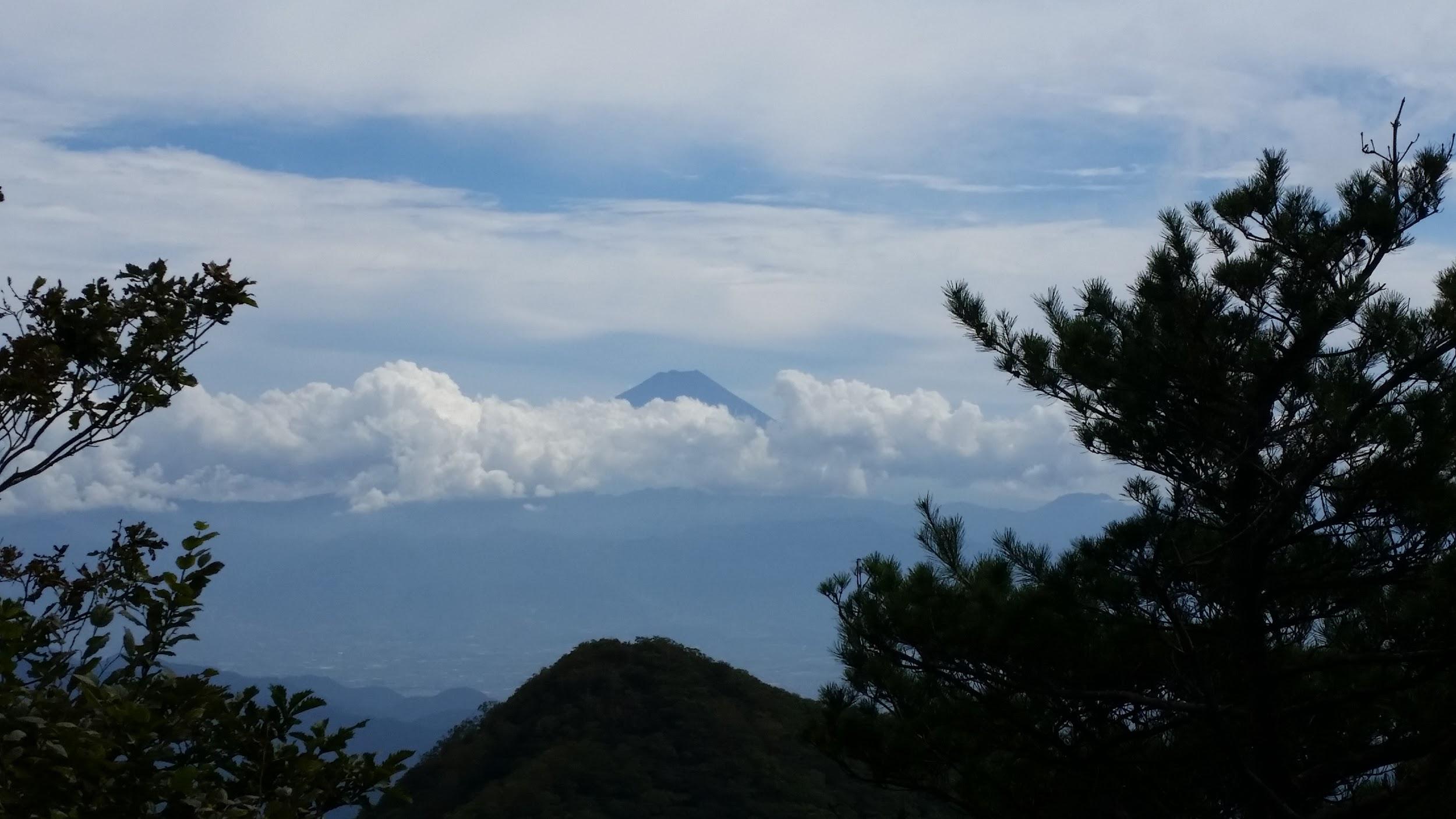
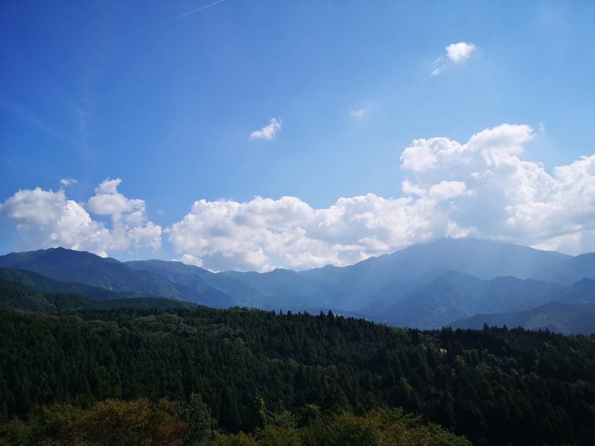
View of Mt Ena, the summit hidden in the clouds
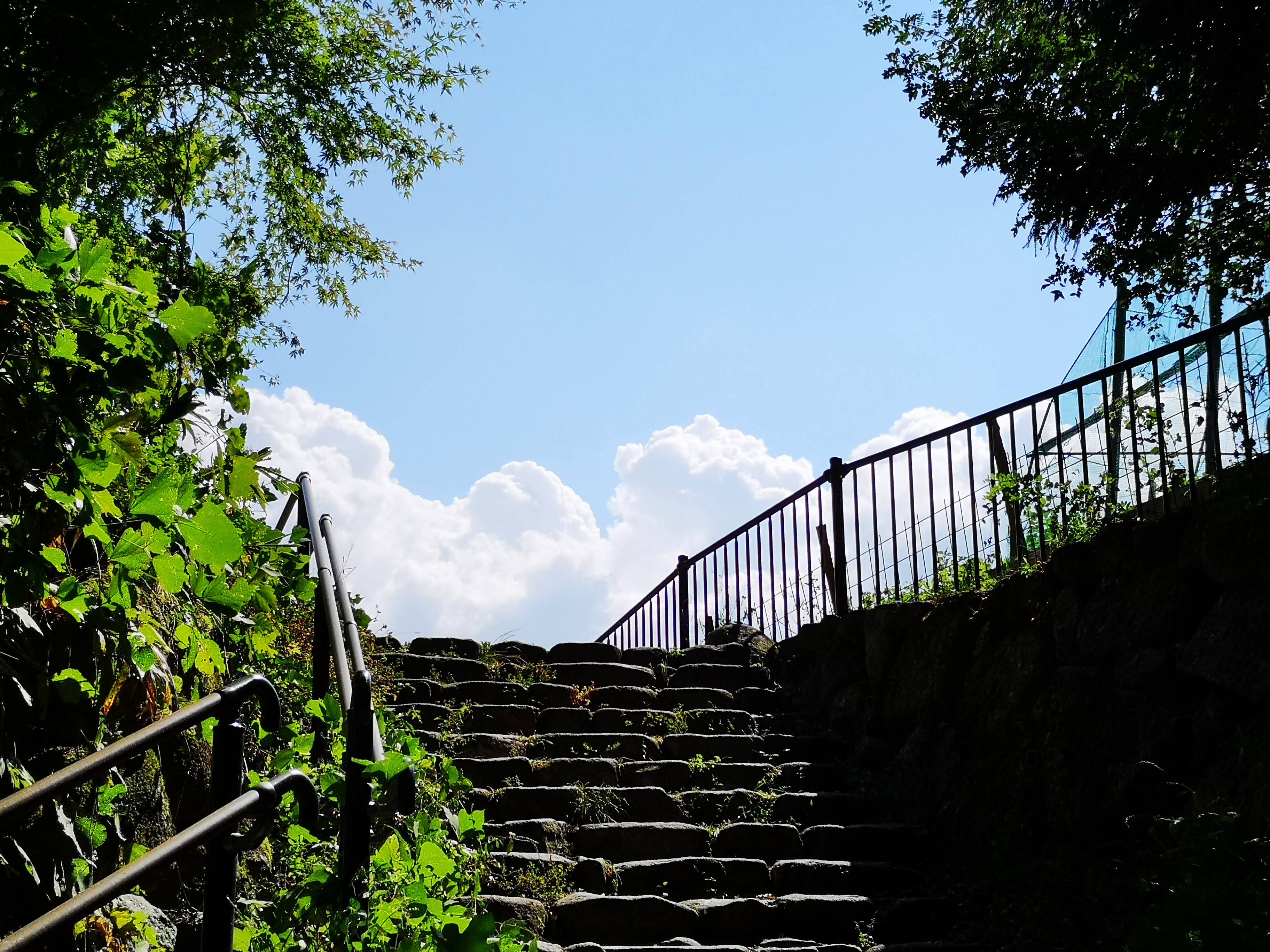
This staircase marks the start of the Nakasendo hiking trail

Just past the restaurant was the old bulletin board where travelers could leave messages for one another, a kind of ancient social media system. A little further was a lookout point, where I could gaze at Mt Ena (2191m), a hundred-famous mountain of Japan, climbed a few years ago. Next, I had to make a small detour around somebody’s garden to reach the official start of the hiking trail. After walking down some steps, I crossed the modern road connecting the two post towns, walked down some more steps, and then followed a dirt path next to a stream. I had to be careful not to step on the small green-coloured frog taking a break in the middle of the trail. I crossed the road again, and bought some water from a shop on the left side; the early October weather was turning out to be warmer than expected. I continued along a paved road slowly rising through a sleepy village. I spotted another frog, brown this time, squatting on the trail.

First I spotted a green frog…

...then a brown one

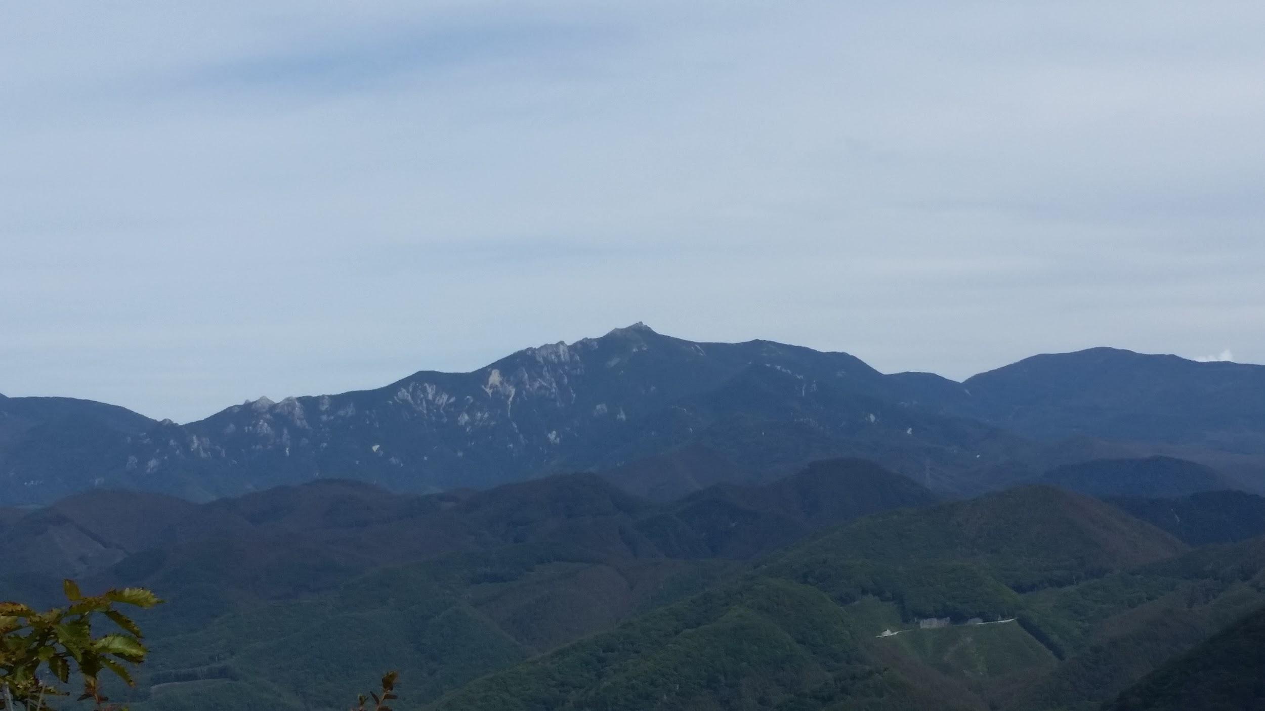
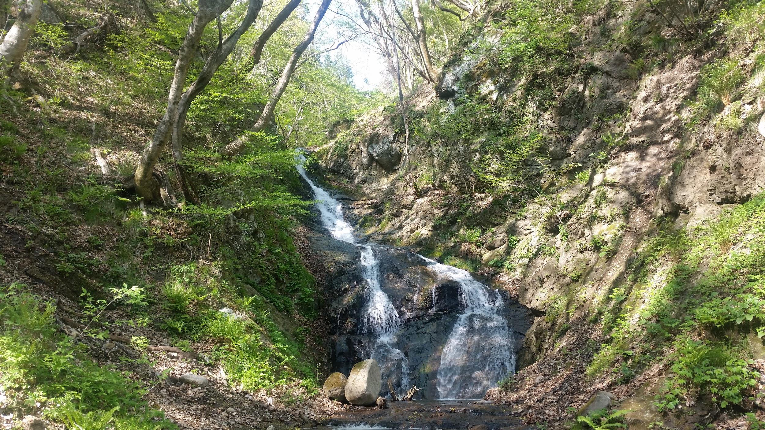
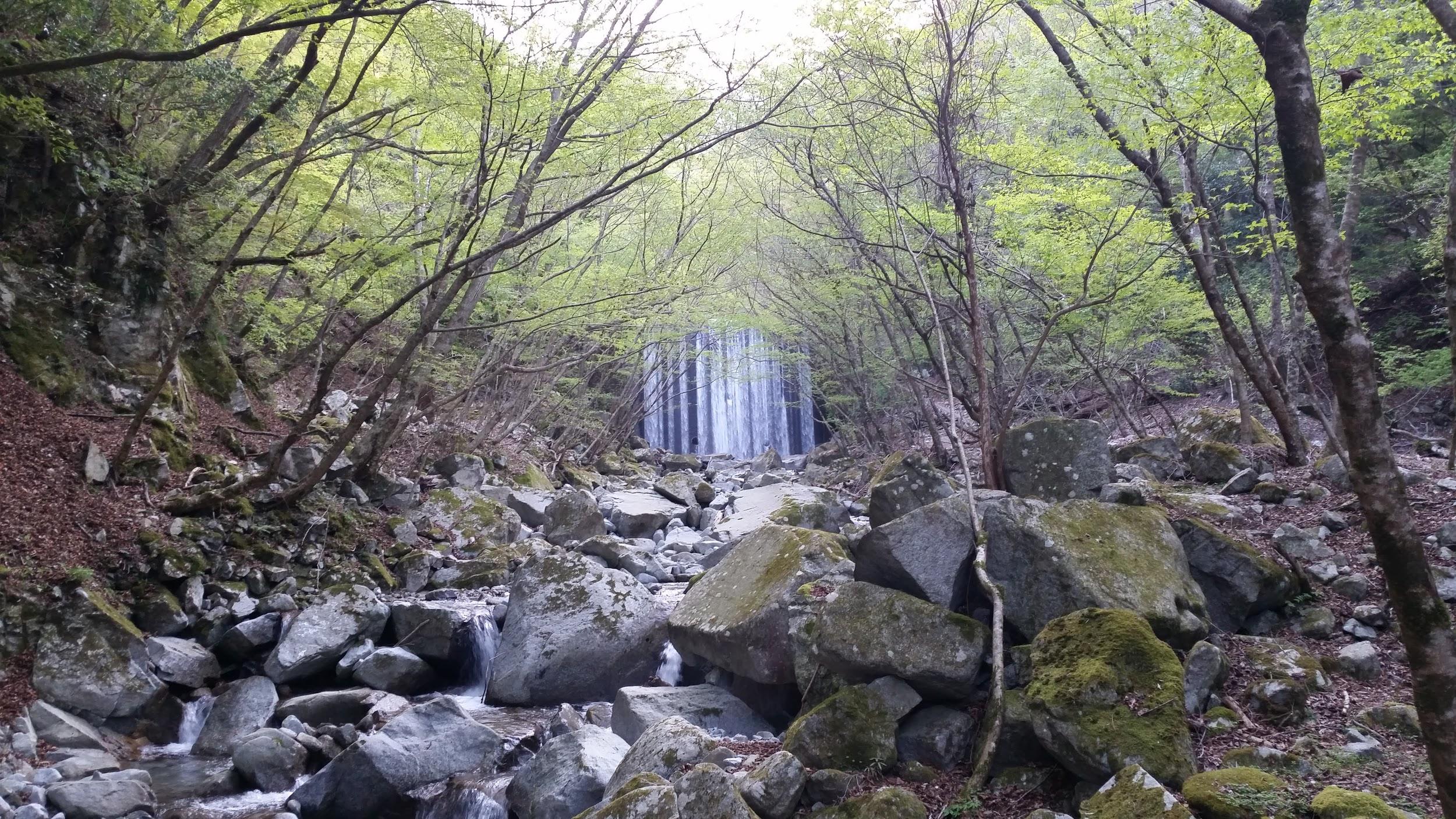
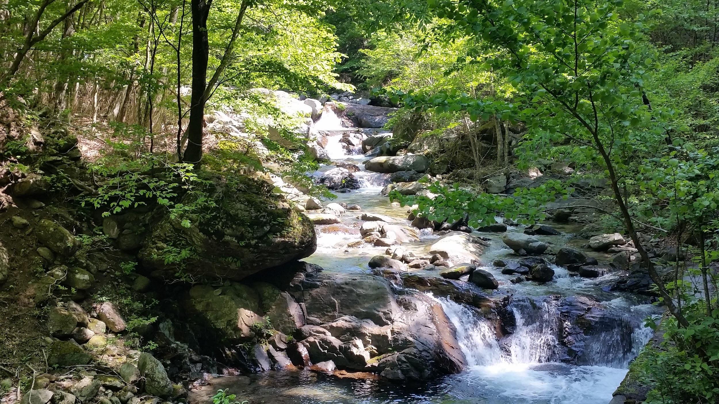
At 2pm, I finally reached Magome Pass, the highest point of the hike at 801 meters; I would now leave Gifu prefecture and enter Nagano. Straight ahead, I could see the summit of Mt Nagiso (1679m), popping out from above the treetops, and which I hope to climb one day. I thought that this was the nicest part of the hike: it followed an easy-to-walk path heading down the valley through a conifer forest. I could easily imagine myself in the Edo period, since there were few other hikers to remind me of modern times. Halfway down, I reached a spacious rest house; I was beckoned inside by the owner, made to sit at a long wooden table, and offered some cold green tea and slices of Japanese peach (“nashi”). Once again, an excellent example of Japanese hospitality. After setting off again, I crossed a bridge over a mountain stream, and a little later on, made a small detour to see a couple of waterfalls, simply called Male and Female waterfalls (男滝・女滝 odaki-medaki).
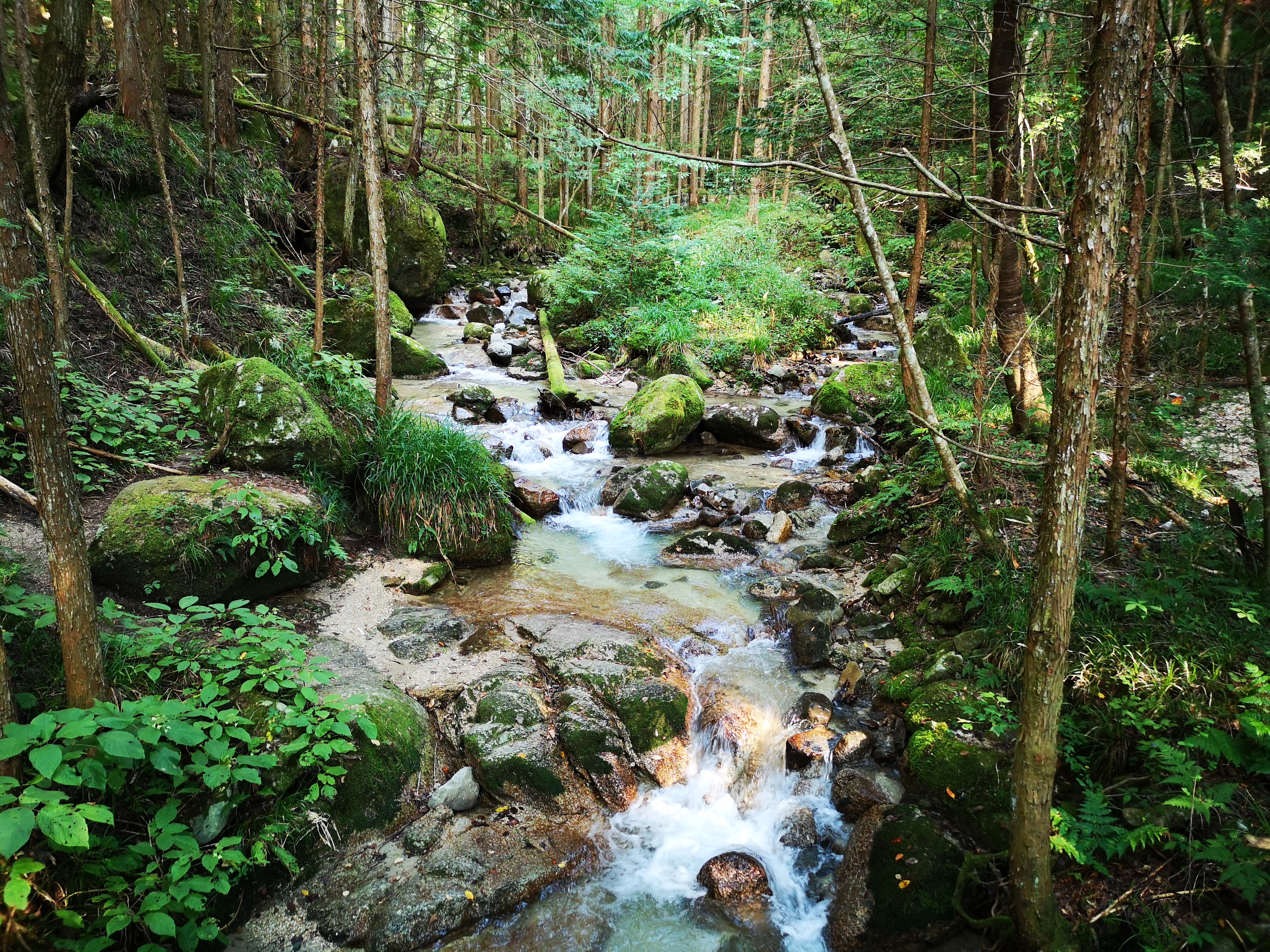
Mountain stream on the Nagano side of the hike
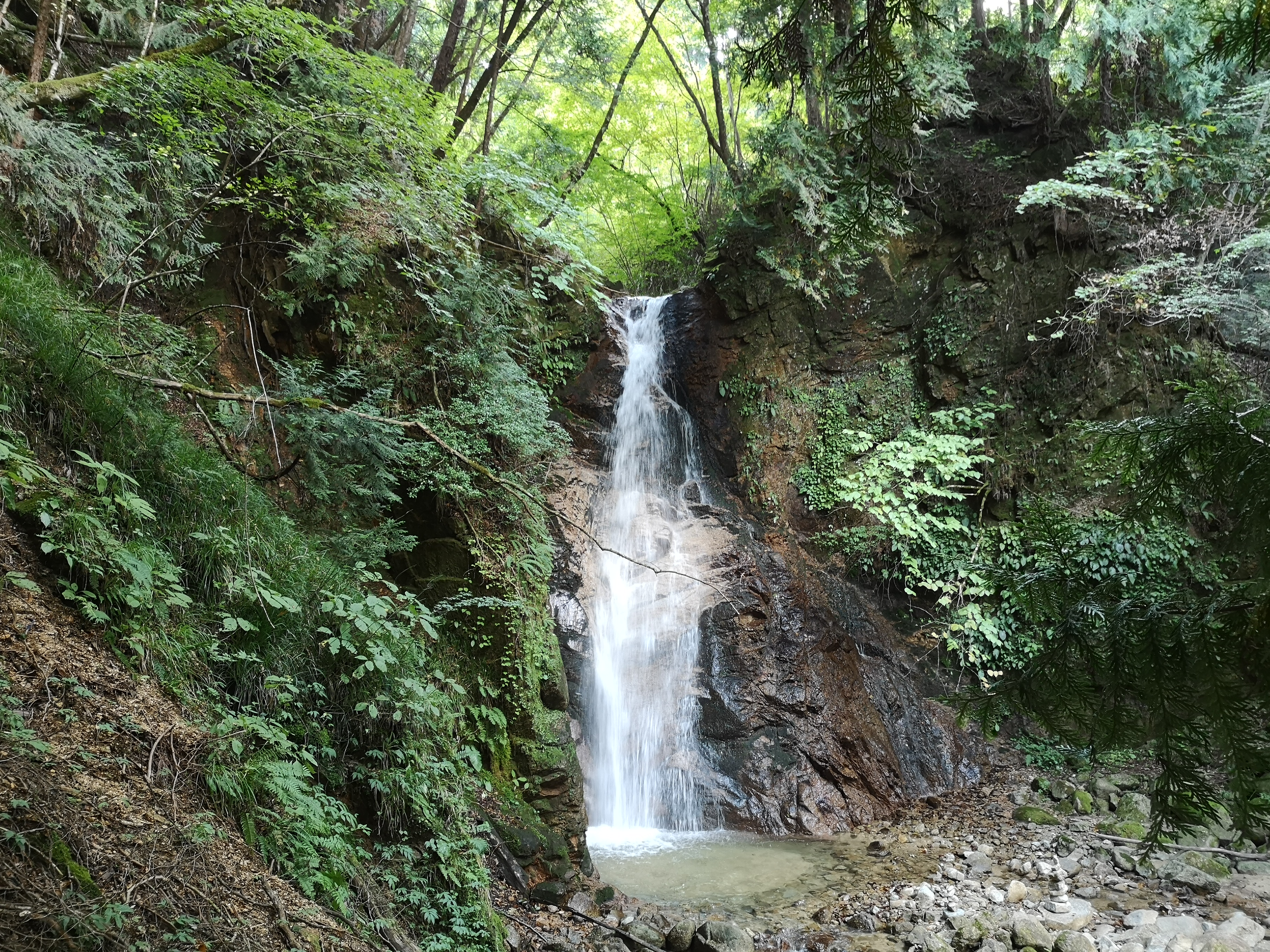
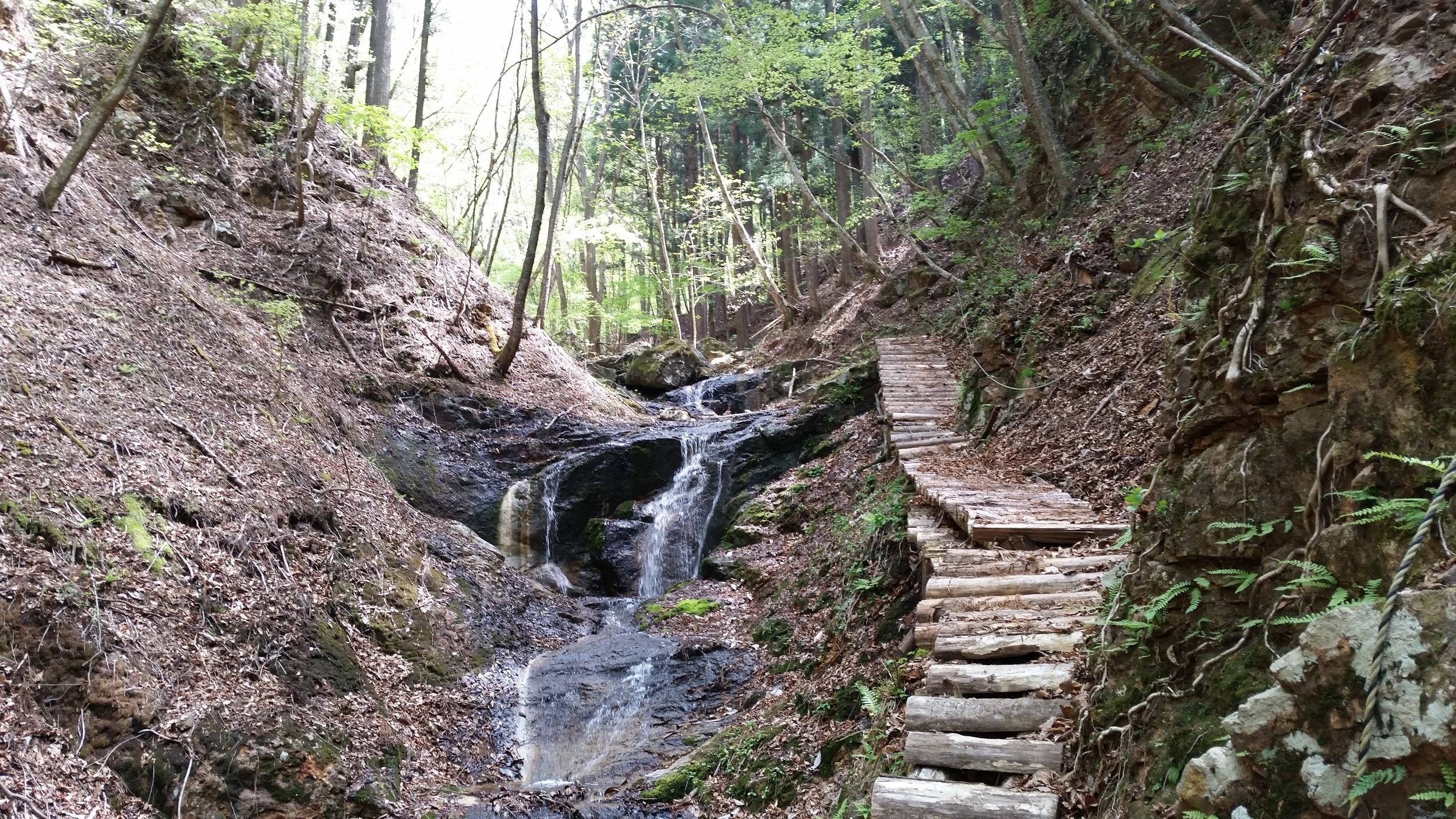
The male waterfall, not surprisingly, the bigger of the two

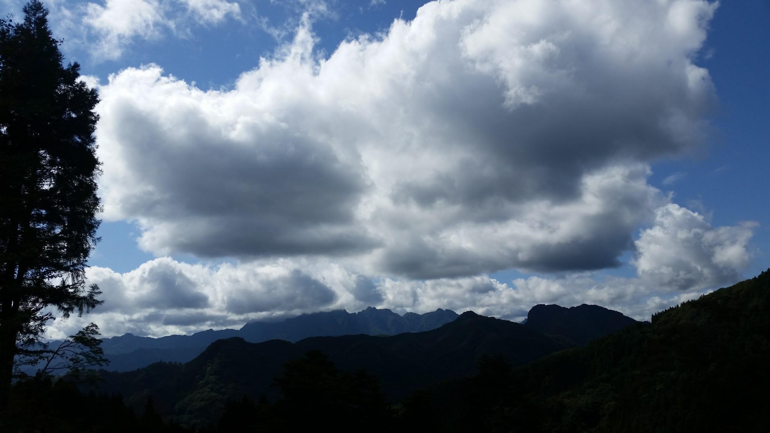
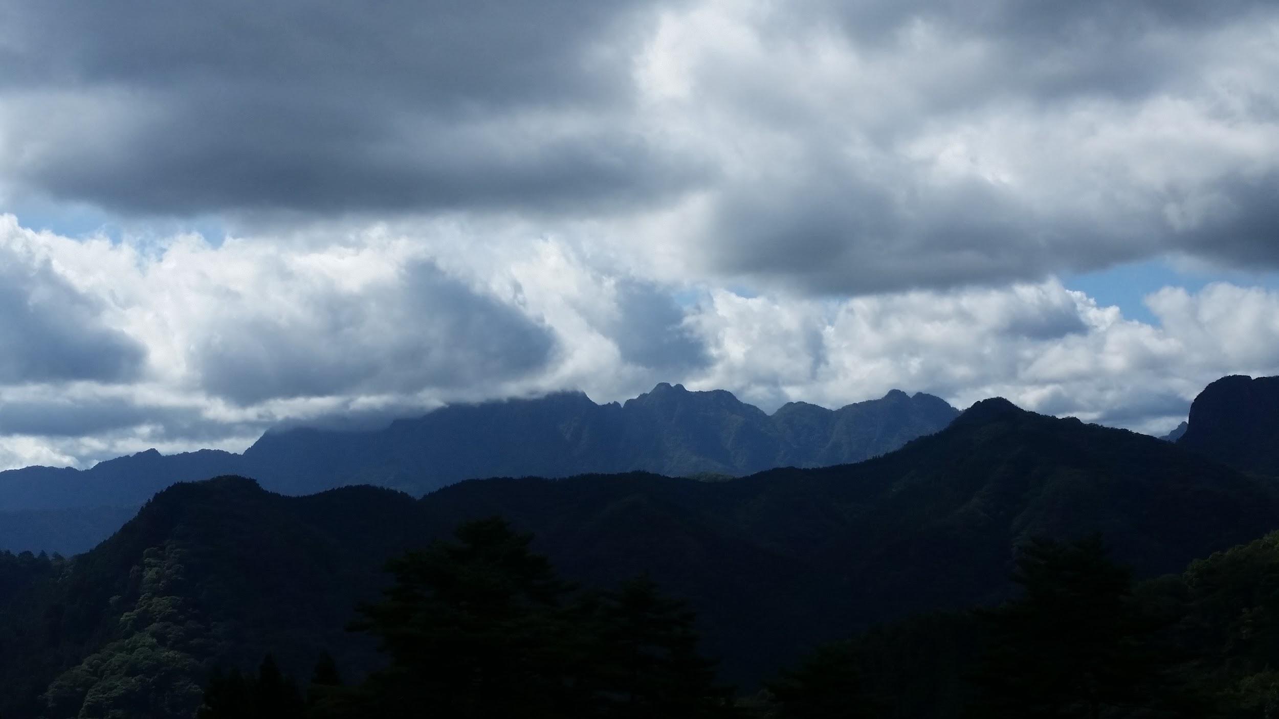
Around 3h30, the trail left the forest at the bottom of the valley, and continued next to the modern road. It took me another half an hour to reach my destination, Tsumago post town (妻籠宿 tsumago-juku). Here, the central road was straight and level, with an impressive view of Mt Nagiso in the background. It was lined with traditional wooden houses on each side, coated in a black substance, a common Edo period fire prevention measure. I thought that his post town was even nicer than the previous one: there were less sightseers, and it felt peaceful and remote. After visiting a couple of famous houses turned museums, I took a taxi to my hotel. The next day, I rode the train along the Kiso valley to Narai post town (奈良井宿 narai-juku), where I did some more sightseeing, before catching the bus back to Shinjuku.
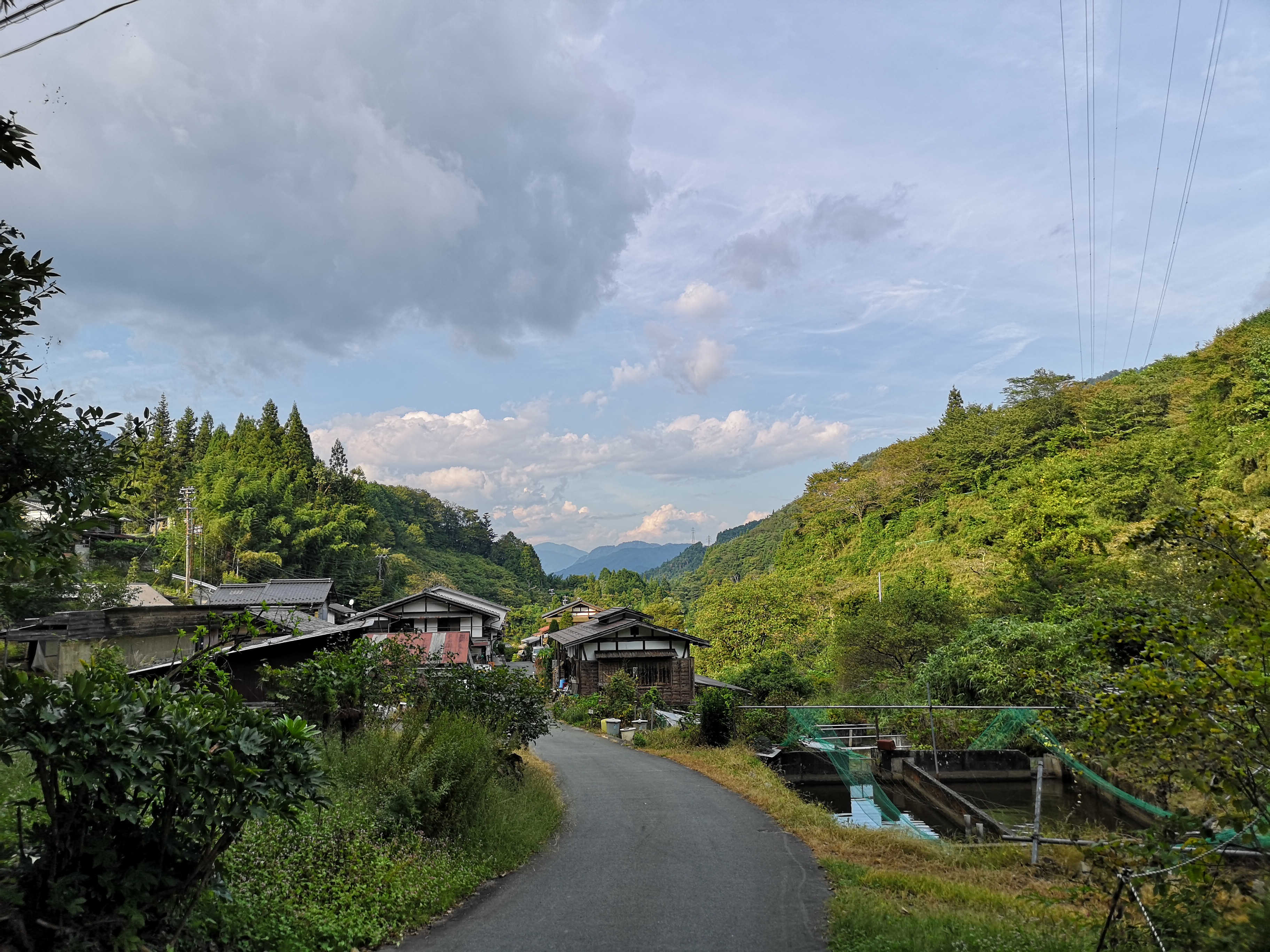
Returning to the road at the bottom of the valley

The main street through Tsumago-Juku with Mt Nagiso in the back

Watch waterfalls and frogs on the Nakasendo
Mt Higashi-Azuma (1975m), Fukushima City, Fukushima Prefecture, Sunday, August 25 2019

After a one-month break, I’ve resumed my hiking activities, despite an ankle that hadn’t really healed. I needed something easy to allow me to get back into the groove, and also at a high elevation, since it was still quite hot and humid. With the weather forecast looking good, I decided to take the shinkansen all the way to Fukushima city, and then drive up the Eastern side of Mt Azuma, a hyakumeizan inside the Bandai-Asahi National Park about 230 km North of Tokyo.

Technically, the highest point is the Western summit about ten-kilometers away, so summiting the Eastern summit doesn’t really count towards increasing my tally of hundred famous mountains, stuck at 81 since last July. Although there is a bus from Fukushima city, the return is quite early, and doesn’t allow enough time to hike to the top and back.


Part I: Usagi-daira – Toriko-daira – Mt Higashi-Azuma

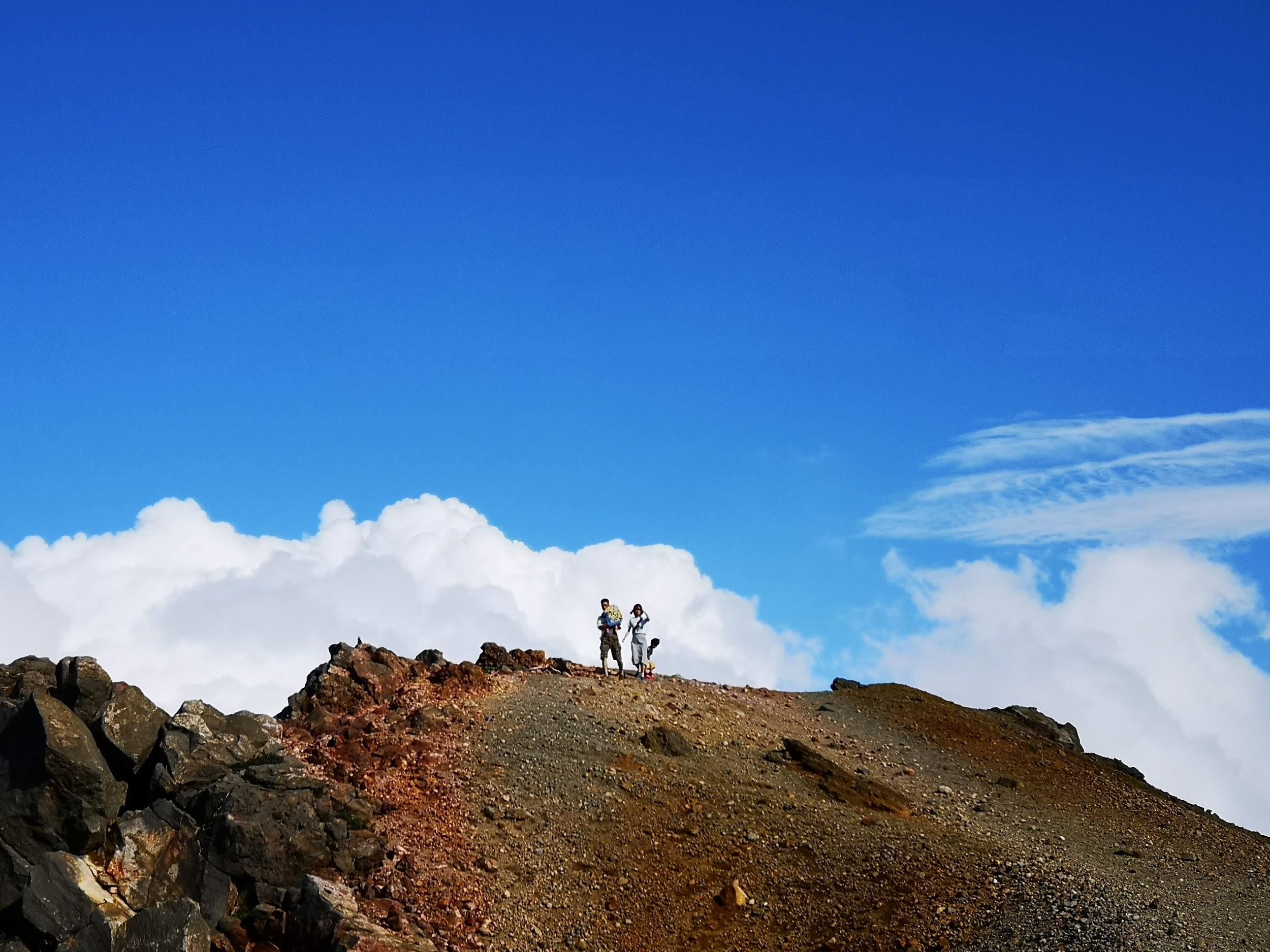
The top of Mt Higashi-Azuma in good weather

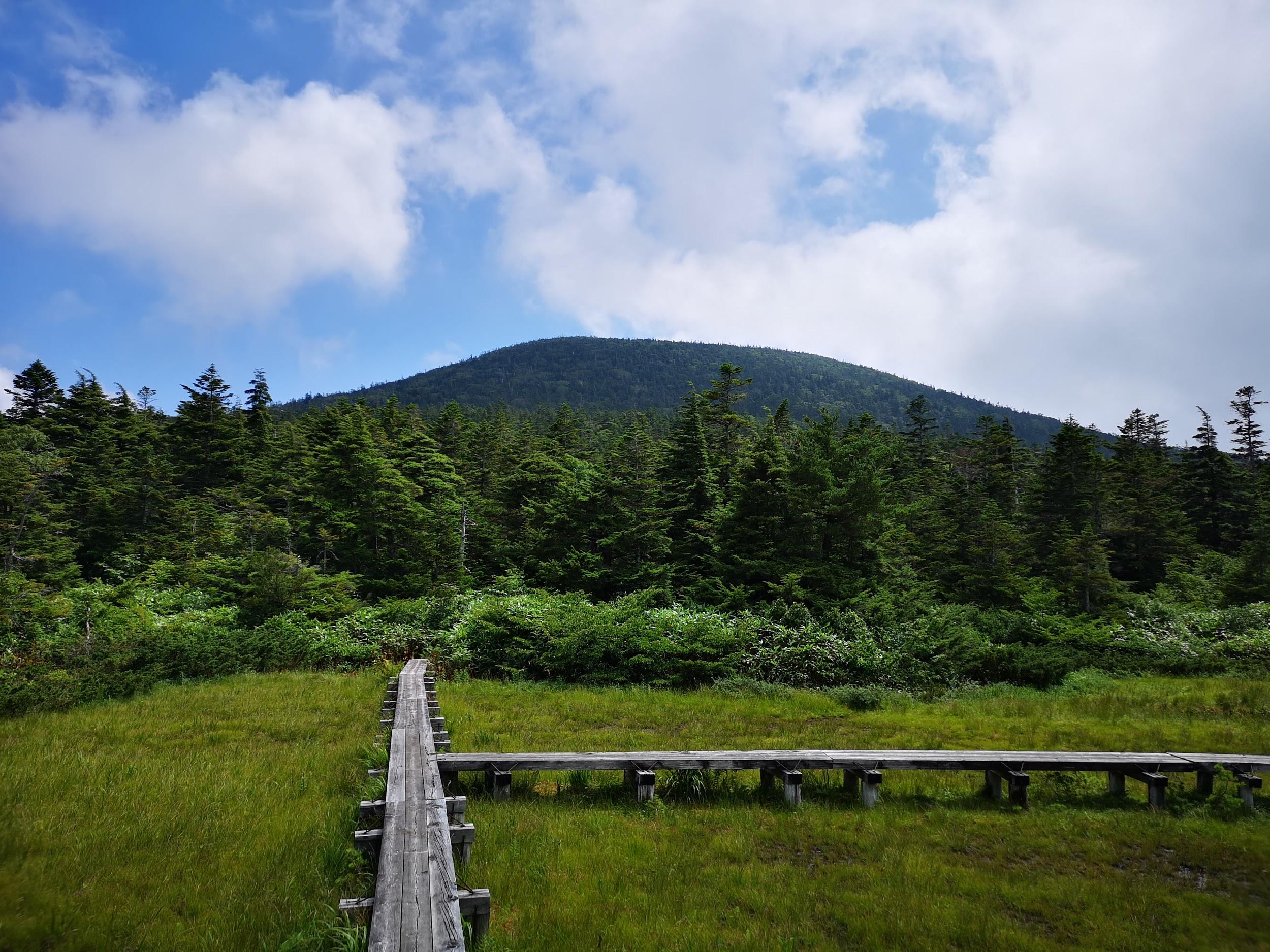
After parking my car at the free parking at Usagidaira 兎平, just a few minutes from the huge paying parking in front of the Jododaira visitor center, I set off on a small path that went through the campsite on the other side of the road. Apart from a few nice sections, I didn’t enjoy it very much. The path was tricky to walk, and was in dire need of maintenance. It was a relief when I finally reached Toriko-daira 鳥小平 with its wooden walkways and many dragonflies.

Here I turned right instead of going straight

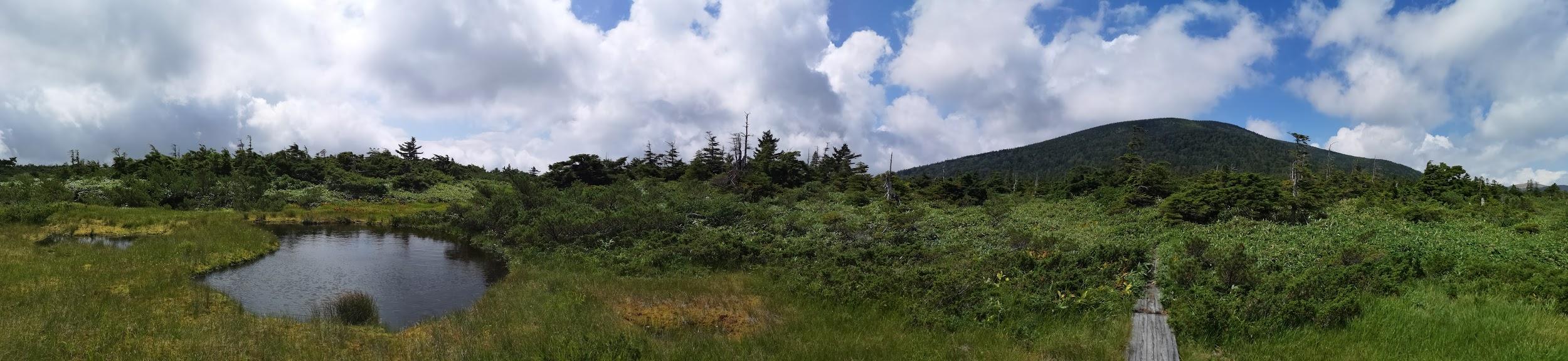
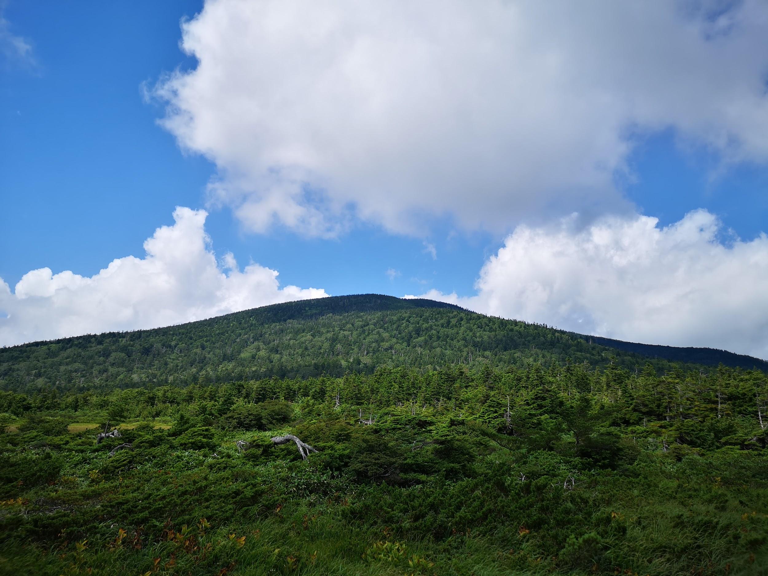
Instead of heading up Mt Takayama straight ahead, I turned right, crossed the Bandai-Azuma Skyline, and slowly started climbing. Shortly, I reached a kind of plateau where I had great views of the summit, as well as a small lake. I was at the same height as the clouds and it was fascinating to watch them drift by. I soon resumed my climb. As I gained more altitude, the weather started to worsen, and by the time I reached the observation point near the top, I was, to my great despair, in the cloud with almost no visibility.

I continued somewhat dejected towards the highest point, but by now it had started raining. I took refuge under the trees just a few meters short of the summit. I put on my rain gear and proceeded to have some lunch. I was hoping the rain would let up, but it only seemed to pound down harder. The wind was blowing, and it felt cold even though it was still August. Finally I gave up and made a dash for the exposed summit of Higashi-Azuma 東吾妻山. I took a quick summit pic, and immediately headed down the other side.

Blue skies and clouds reflected in a pond

I was glad I had put on my rain clothes, as they soon got soaking wet, partly due to the rain, and partly from brushing against wet vegetation. The rain eventually stopped and the sun came out, but I had already descended too far to return to the summit. I didn’t like the path down very much: lots of roots and rock, making it tricky with my bad ankle.


Part 2: Uba-ga-hara – Kama-Numa Pond

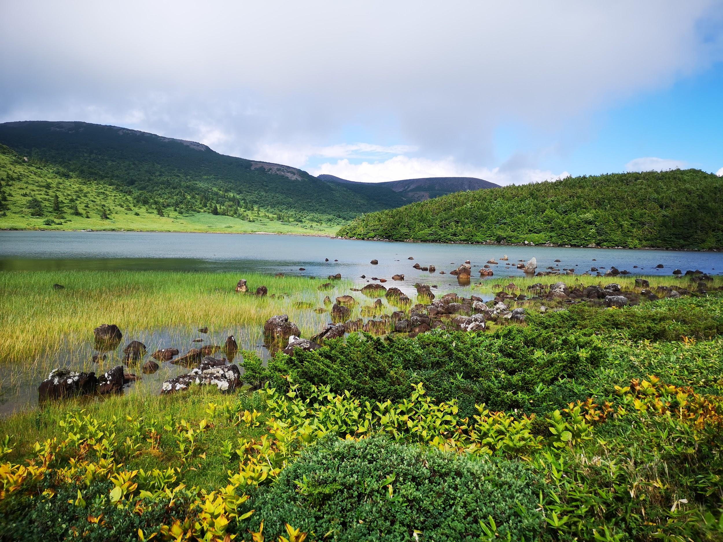
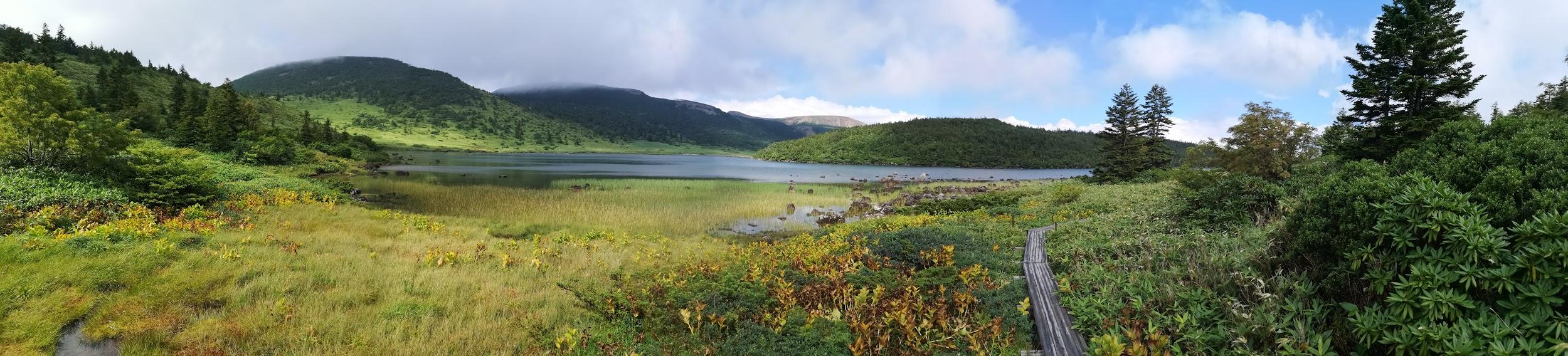
A beautiful lake high up in the mountains

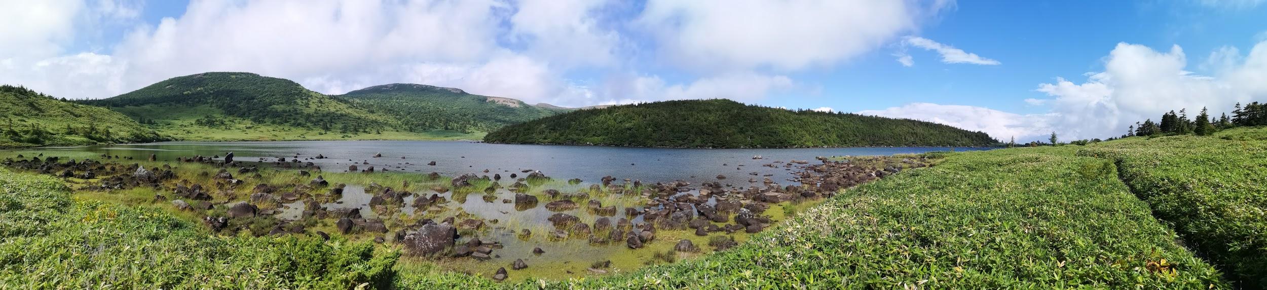
Eventually, I emerged at Uba-ga-hara 姥ケ原 where I was faced with a crossroads. I decided to head straight rather than head back straight to Jododaira. Very quickly, I reached Kama-Numa Pond 鎌沼池 which was quite a breath-catching sight. The dark blue water and light sky perfectly complemented the light green grassy rocks near the shore, and the dark green forested hills opposite. Definitely a landscape that would be worth painting.

The path leading down and back to the visitor center

Initially I thought I would walk clockwise around the lake, but my footsteps somehow took me counter-clockwise. I hope to come back some day and climb the remaining peaks on the other side of the lake. Eventually I left the lake behind me, and started to head back towards the visitor center. The weather had completely recovered. Descending in the sunshine, it was hard to believe that only one hour earlier I was sheltering from the wind and the rain near the summit!


Part 3: Jododaira – Mt Azuma-Kofuji

Spectacular view of “small Fuji” on the side of Mt Azuma

I was behind schedule, so I started to hurry towards Jododaira 浄土平. Although I had come by car, according to signs I had seen on the way up, the road back to Fukushima city closed at 5pm, so I had to make sure I was gone by them. My pace slowed somewhat after I started getting some jaw-dropping views of Mt Azuma-Kofuji 吾妻小富士, the mini-volcano sprouting from the side of Mt Azuma like a pimple. I definitely wanted to walk around the rim!

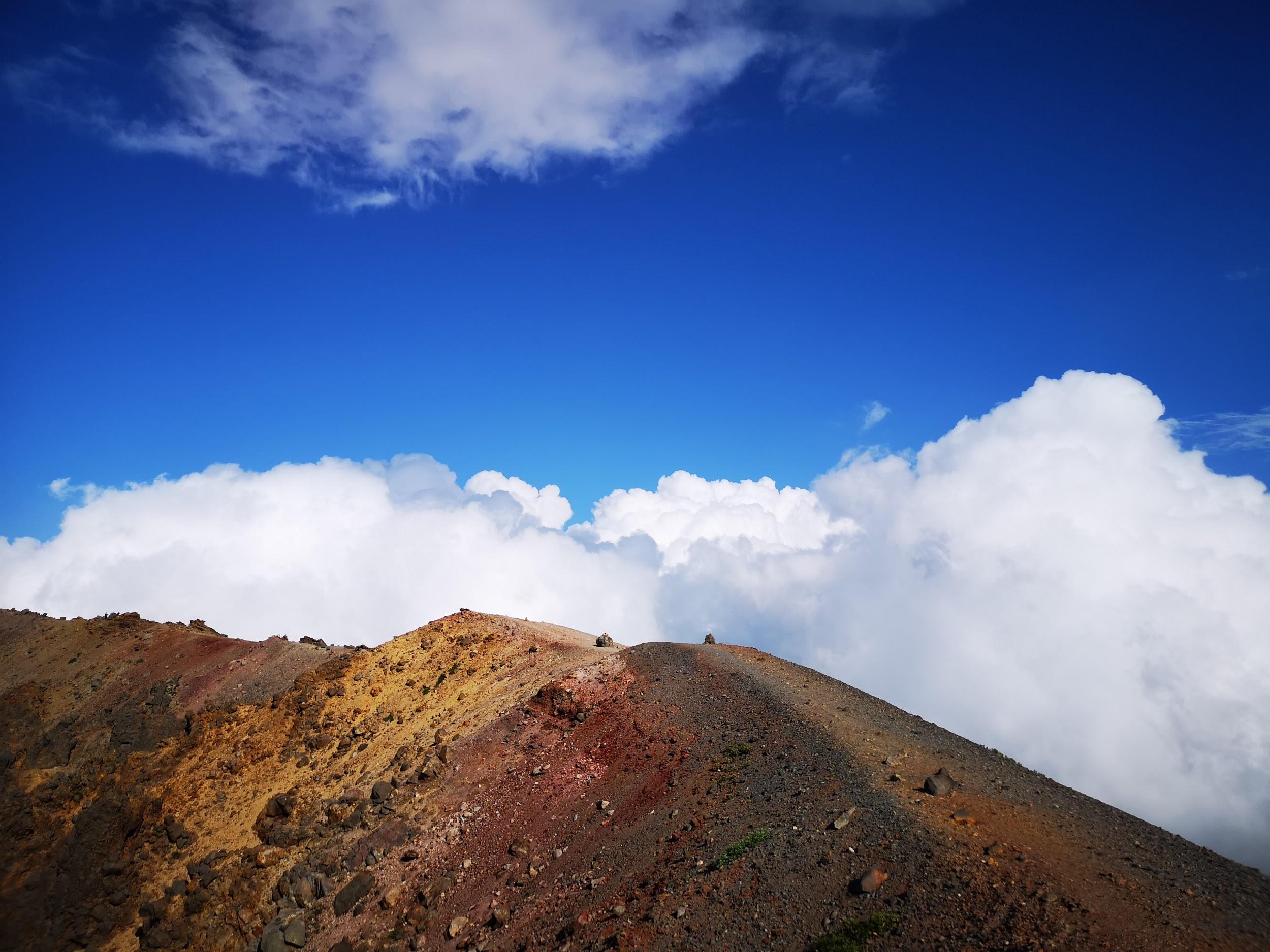
Walking above the clouds…

Although some sections had steps and walkways, a lot didn’t, so my ankle suffered some more. To my right, steam was venting out of the side of Mt Issaikyo. It was with great relief that I finally reached the visitor center. I took off my rain gear, and then rushed up the side of the mini-volcano and was standing at the edge of the crater less than five minutes later. I managed to walk around it in less than half an hour, enjoying the stunning views in every direction. It’s a pretty easy walk and anyone can do it. I managed to be back at the car before 4h30 and was happily driving back to the train station by 5pm. On the way, I had a quick bath at the very nice public onsen Attakayu.

Next up: Hiking at Yu no Maru, on Mt Asama (Nagano prefecture)


Clouds rolling by at nearly 2000m elevation

From the Archives: Tokyo Day Hikes, September & October 2017

Two years ago in August, my mother visited Japan, and we were busy sightseeing, mostly places in the mountains I had been to before. We visited Kamikochi, Mt Norikura, the Chuo Alps, as well as some mountains closer to Tokyo in Gunma prefecture. Consequently I didn’t get to climb any new peaks during that month, with the exception of Mt Shiga (which I will write about separately. However, from September, I was out exploring and climbing new peaks again, although as the weather cooled, my hikes got lower and closer to Tokyo.

Mt Sennokura (2026m), Yuzawa Town, Niigata Prefecture, Saturday, September 9

A two-hundred famous mountain sitting on the border between Gunma and Niigata prefectures, close and far at the same time, access was as usual problematic. I finally bit the bullet and rode out with the shinkansen to Echigo-Yuzawa. I tried to get the Tokyo Wide Pass the same day but was thwarted by a long line at the Tokyo station travel office. After alighting in Niigata, only an hour away by feeling like a completely different world, I caught the bus for the Naeba Prince Hotel, and got off a little bit before, at the Mt Tairappyo trailhead. It was a beautiful sunny late summer day, and I was starting to feel that my shinkansen fare had been well spent.

The highest point of Mt Naeba is to the left of the “notch”

After a one hour slog up the side of the mountain, I emerged from the forest and started getting my first views, back towards the valley I had just climbed up. Now I was walking under the sun through bushy, grassy vegetation. Ninety minutes later, just before 1pm, I reached the top of Mt Tairappyo 平票山 (1984m) where there was a great panoramic view. To the South I could see the Kanto plain, against the sun and somewhat hazy; to the North, the mountains of Niigata.

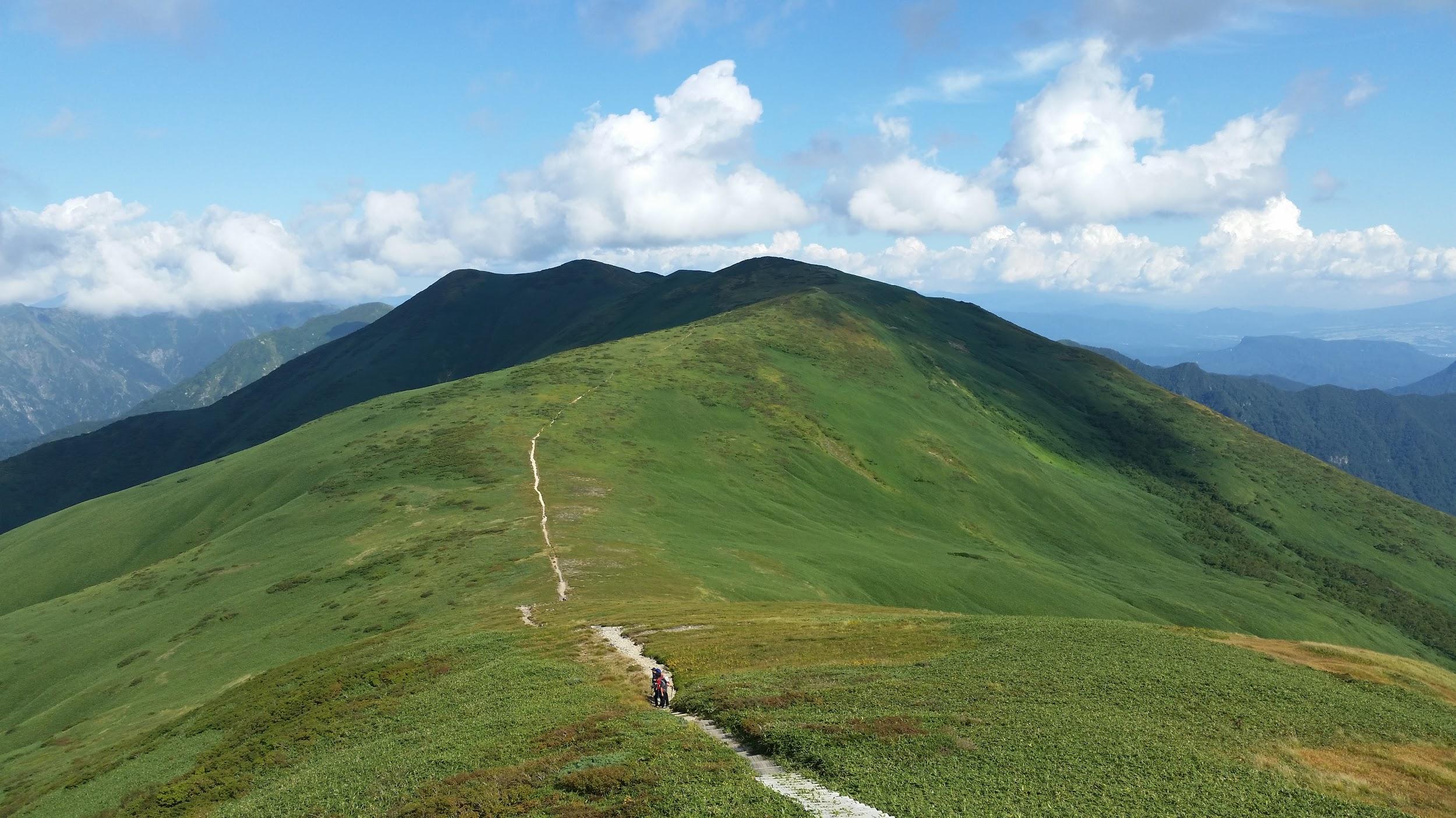
Grassy ridgeline and wispy clouds

After an up and down, I finally reached the highest point of the ridge one hour later, Mt Sennokura 仙ノ倉山, and admired the dramatic views beyond towards the Tanigawa ridge. The drop in between was quite deep and don’t think I’ll ever have the courage to hike across it. After a short, peaceful lunch, only one other hiker shared the summit with me, I retraced my steps, admiring the nice views of the flat ship-shaped summit of Mt Naeba. The weather was holding, with only wisps of cloud here and there.

This lodge is quite a popular place to stay the night

At the top of Mt Tairappyo, I turned left along the ridge heading towards Mt Mikuni, and walked down to the hut at the lowest point. Since it was a Saturday afternoon, there were lots of people planning on spending the night there. I wasn’t, so I turned right and headed down into the valley. I soon reached the bottom, and walked southwards till I emerged from the forest back at my starting point, from where I caught a bus back to the shinkansen station and home.


Mt Kaya (1704m), Nirasaki City, Yamanashi Prefecture, Saturday, September 30

Another two-hundred famous mountain, and one I had been wanting to conquer for a while (the top photo shows the view of Yatsugatake taken along the hike). A bus from Nirasaki station on the Chuo line put me at the start of the hiking trail. I reached the top of Mt Kaya 茅ヶ岳 shortly before noon. Since it’s a relatively easy mountain, there were quite a few people at the summit enjoying an early lunch in the beautiful autumn weather.

Mt Fuji is visible from most of the hike

I continued North to Mt Kana 金ヶ岳 (1764m) where fortunately there were fewer hikers, and I had the summit to myself for my own lunch. The good weather persisted, and on the descent I had some really good views of Yatsugatake, Mt Kinpu and the Minami Alps. The hike ended along a road at a nice onsen, with swiss flags flapping outside for some reason. After a great bath, I was able to catch a bus back to the train station. The bus was completely full and I had to stand next to the driver, but I was able to chat with the driver along the way while taking in the great views.

Mt Kinpu, a hundred famous mountain looming in the background


Mt Tetemiezu (1047m), Ogano Town, Saitama Prefecture, Sunday, October 8

This is a less famous mountain, certainly not a hundred anything anyway. I was interested in it mainly because it’s fairly remote, sitting on the border of Saitama and Gunma prefectures. I was the only person to ride the bus from the Ogano town hall to the last stop. The weather was good, clouds and sun, but I wasn’t able to get many good photos, except of Mt Ryokami to the South.

East to West view of Mt Ryokami

The top of Mt Tetemiezu 父不見山 was surrounded by trees; according to my guidebook, there is a viewpoint somewhere but I only noticed that part after descending. All in all, it was a very peaceful hike and I saw almost no-one the whole way. The final part was a one hour walk down a road to the bus stop, where again I was the only passenger to board for the return trip to Ogano town hall. There, I caught a connecting bus for Seibu-Chichibu station.

20171008_104146

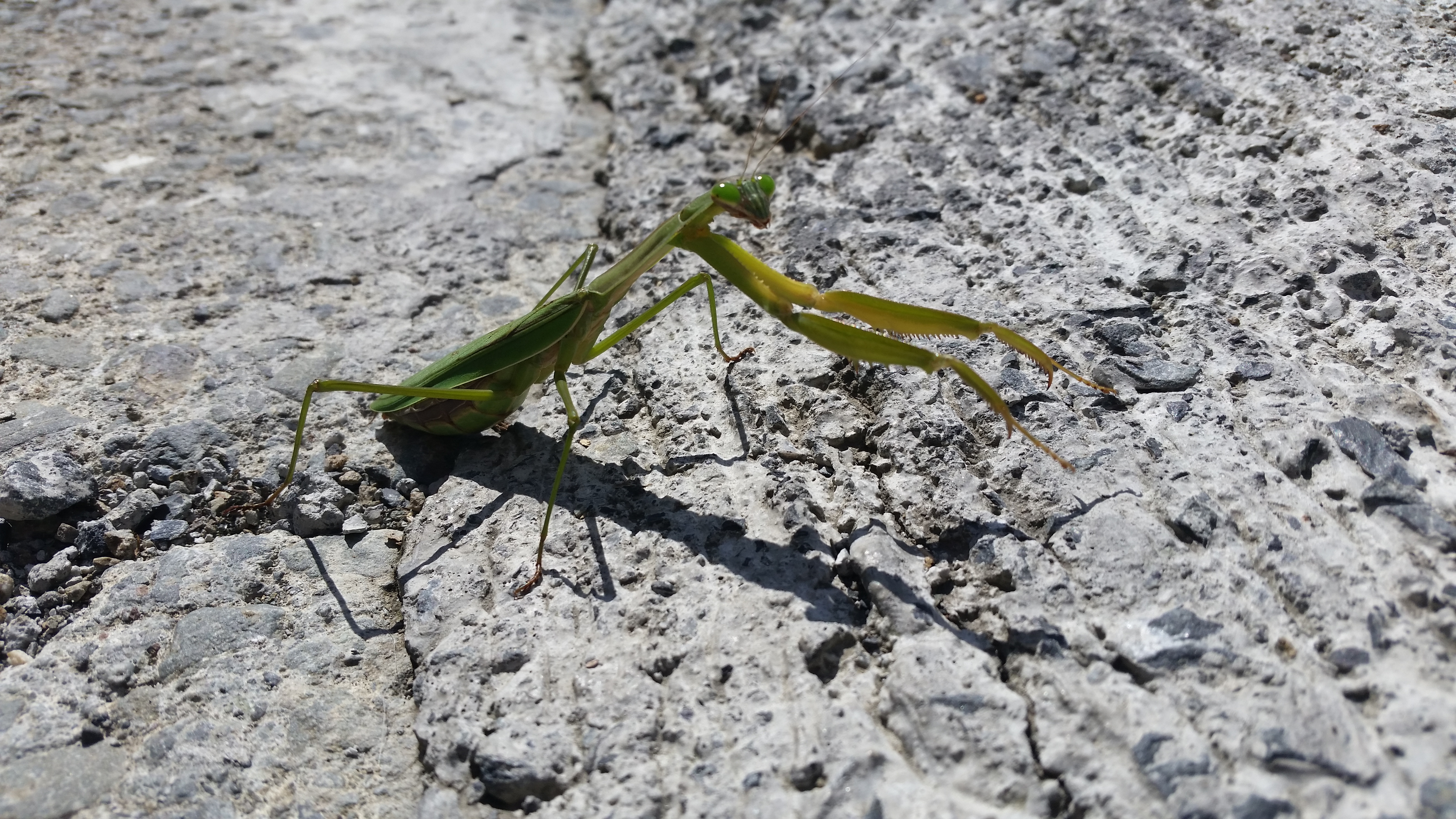
Praying Mantis spotted near the start of the hike

From the Archives: Ten Tokyo Day Hikes (2016)

I’ve been kept from the mountains the past few weeks because of work, a tendinitis in my left ankle and a summer cold. It was a good opportunity to look back at the hikes I did in 2016, a busy year during which I made very few blog posts, from which I made a selection of ten regular Tokyo day hikes; I did many more hikes that year, but they were hyakumeizan peaks, well-known mountains near Tokyo I had climbed before, and half-day hikes.

At the time I hadn’t discovered all the great hiking in Southern Tochigi and Ibaraki, and thus nearly half of these hikes are in Yamanashi prefecture, arguably the best place for hiking near the capital. All these hikes required access by bus, except for one when I went by car. All these hikes are perfect for the upcoming Autumn and Winter hiking season.

Mt Ou (1623m) & Mt Oni (1738m), Fuji-kawaguchiko City, Yamanashi Prefecture, Sunday, January 3, 2016

Amazing view of Mt Fuji and two of its five lakes

The first hike of 2016 – how could it not be with a view of Mt Fuji? If you want to get spectacular views of Japan’s most famous mountain, I‘d recommend hiking the surrounding peaks in December or January. The start of the trail near Lake Saiko, is a bus ride away from Kawaguchiko station – luckily the buses were running on schedule during Shogatsu. A short climb brought me the top of Mt Ou 王ヶ岳 (“King mountain”), from where it was a pleasant, snow-free hike along the ridgeline to Mt Oni 鬼ヶ岳 (“Demon mountain”). After admiring the wonderful views of Mt Fuji, and the South Alps on the other side, I descended through forest back down to the lake where I caught the bus back, after a relaxing onsen.

Dramatic view towards Kawaguchiko city

Mt Goten (364m), Mt Takatori (364m) & Mt Dainichi (333m), Minamiboso City, Chiba Prefecture, Sunday, February 21, 2016

View West towards double-peaked Mt Tomi

With the snows of February, I retreated to the Boso Peninsula in Chiba, a wonderful area  I discovered the previous year. Although the views aren’t as spectacular, I was able to enjoy some quality snow-free hiking under the warm winter sunshine. I drove from Kisarazu station to the start of the trail. After reaching the summit of Mt Goten 御殿山, I continued a little further to the top of Mt Takatori 鷹取山, and then further still to Mt Dainichi 大日山. The last two peaks had nice views Westwards towards Mt Tomi and Tokyo bay. Since I had come by car, I had to return along the same way. Afterwards, I had a little time left, so I dropped by a short hiking path near the highway, where one could see “suisen” flowers (a kind of daffodil) that bloom at this time of the year. Although it’s a popular trail, since it was late in the day, I saw only two other people, so it was a nice stroll with great views from the top of the hill overlooking Tokyo Bay.

Nice views westwards at the top of the “suisen” path

Mt Takago (330m), Kimitsu City, Chiba Prefecture, Sunday, May 15, 2016

Mt Takago is also a Kanto hundred famous mountain

A hike on a hidden mountain in the middle of the Boso peninsula – I had trouble finding it again on the map while writing this post. This time, I took a bus from Kisarazu station, then hiked along a small road, through a hamlet with many cats, and finally reached the start of the trail: log steps heading up the side of the hill. At the top, I admired the views of Mt Kano to the North, before continuing southwards. The views of central Chiba aren’t really all that amazing, but I find the sight of green rolling hills in all directions very impressive. It was a fairly easy hike with occasional views; the rocky top of Mt Takago (高宕山 たかごやま takagoyama), a Kanto 100 famous mountain, is the highest point in the area, with a sea of trees spreading in nearly every direction. At one point, hungry for more views, I extended the hike by doing a short there and back along a lonely ridge. After returning to the main trail, I made my way down, running and walking since it was getting late, and ended up at a bus stop in the middle of the countryside not far from Lake Mishima, after a very satisfying seven-hour hike.

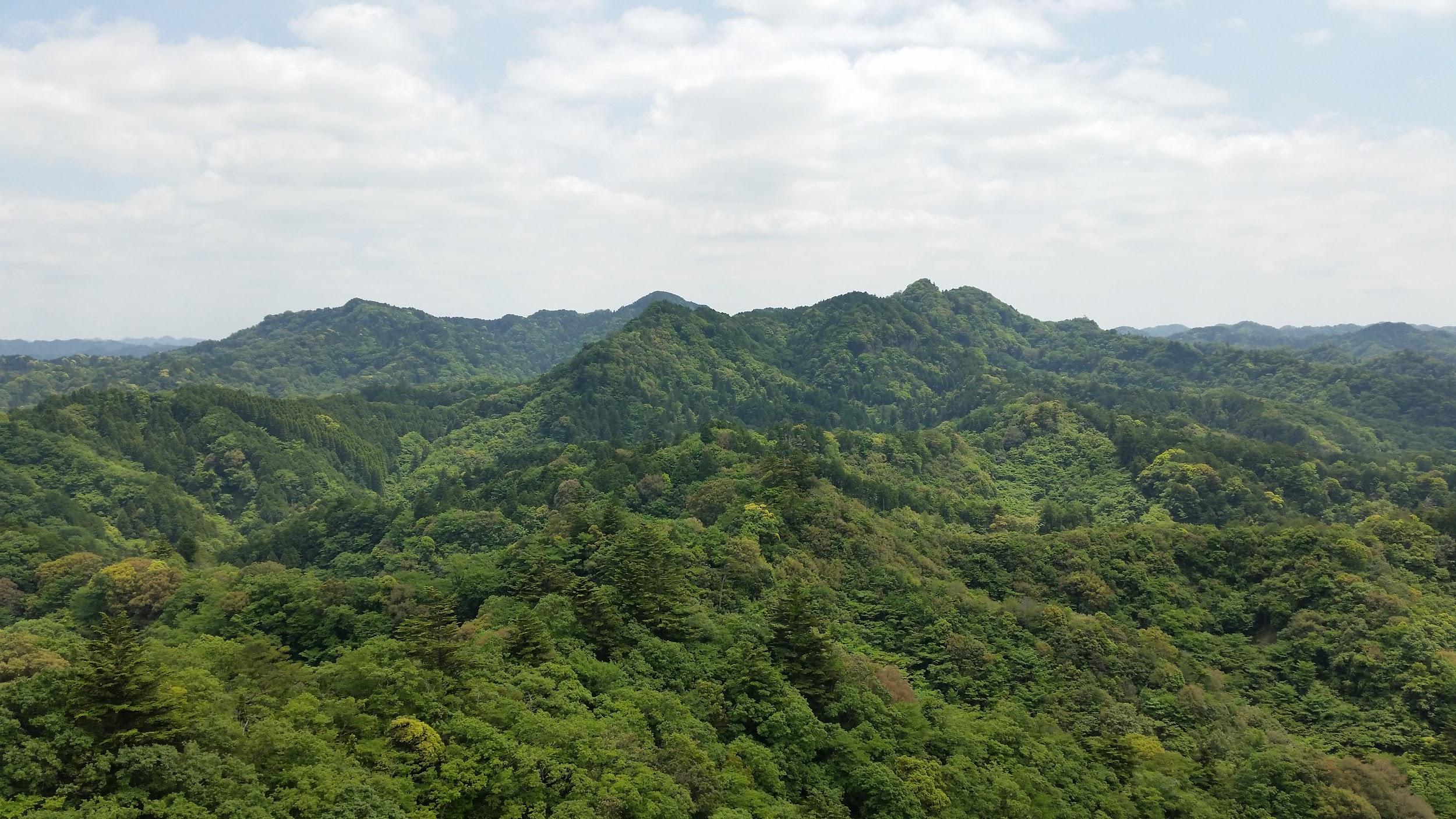
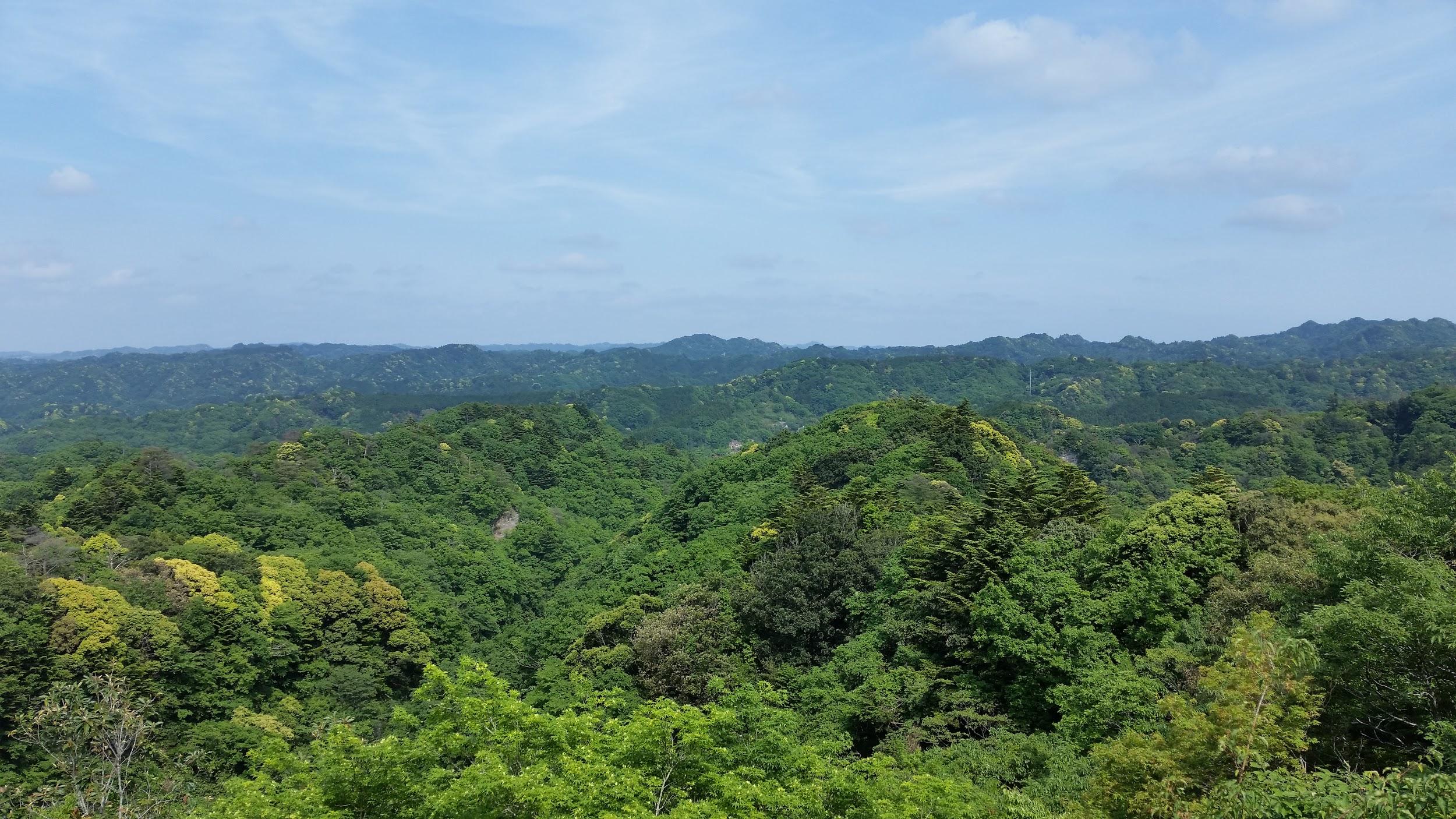
The Southern part of Chiba is a very very green place

Mt Mikuni (1328m), Kanagawa, Yamanashi & Shizuoka Prefectures, Sunday, May 29, 2016

Mt Fuji and Mt Mikuni

A great hike that follows two prefectural borders, first between Shizuoka and Kanagawa, then between Shizuoka and Yamanashi, Mt Mikuni 三国山 (“Three Country mountain”) being at the convergence of all three. A seasonal hiking bus running from Suruga-Oyama station took me up to Myojin pass (900m), from where I first hiked East along the ridge in to the top of Mt Yubune 湯舟山 (1041m). It was a cloudless and hot May day, but fortunately I was mostly under the shade of trees. I then retraced my steps to the pass, and continued Westwards to Mt Mikuni. After a bit of road walking and a short steep climb, I reached the peaceful flat summit, surrounded by cool green forest. After that, it was a nice ramble along a descending ridge with occasional views of Mt Fuji, mostly covered in cloud except for its snow-covered summit. I passed the minor peaks of Mt Naraki 楢木山 (1353m), Mt Obora 大洞山 (1383m) and Mt Hatao 畑尾山 (1365m). I finally reached a section I had hiked a few years ago in December, but had to abort because of a freak snowstorm. There seemed to be a serious war game taking place opposite on the lower flanks of Mt Fuji: I could hear explosions the entire afternoon (the foothills of Mt Fuji is a training place for the self-defence forces). I ended up at a very nice hot spring near the bus stop for Gotemba station.

Mt Fuji straight ahead!

Mt Imakura (1470m) & Mt Nijurokuya (1297m), Tsuru City, Yamanashi Prefecture, Saturday, June 11, 2016

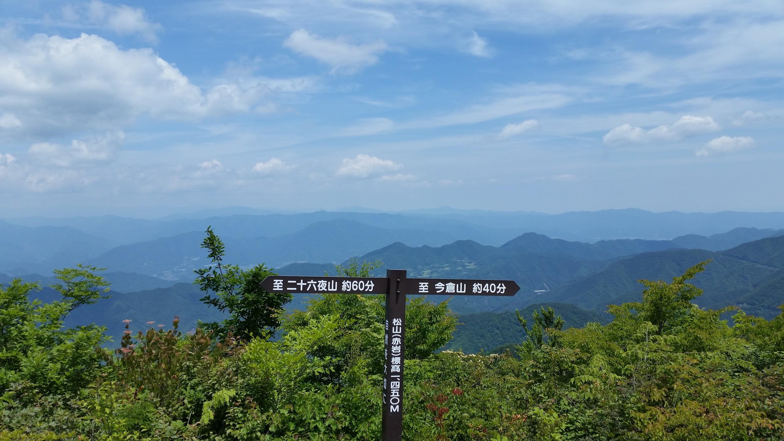
Viewpoint at Akaiwa (“red rock”)

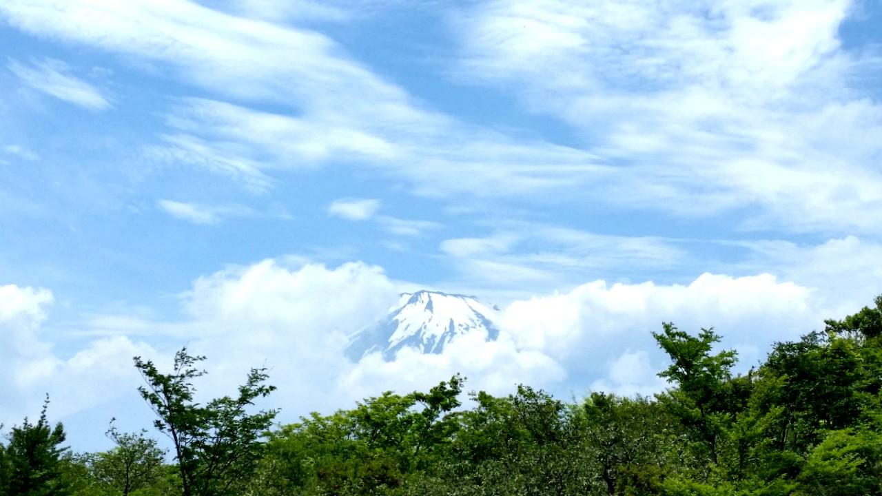
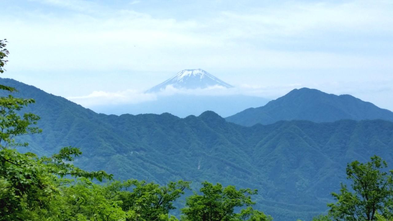
This was another very good hike in the Fuji area. Although the rainy season had already started, the weather stayed good all day. I took a bus from Tsurushi station all the way to the Michizaka Zuido Iriguchi bus stop. From there, it was a steep climb to the top of Mt Imakura 今倉山, completely surrounded by trees, although I had some glimpses of Mt Fuji through the trees on the way up. I headed west along the ridgeline, descending steeply at first. There were some great views of Mt Fuji and the surrounding mountains from Akaiwa 赤岩 and Mt Nijurokuya 二十六や山. After that last peak, the path turned Northwards, and I headed downhill first through forest, then some pleasant countryside, finally arriving at a nice hot spring near a bus stop. I returned the following year to hike the Eastern ridge from the top of Mt Imakura.

A good hike for “fuji spotting” – Mt Shakushi is on the right

Mt Keikan (2177m), Koshu City, Yamanashi Prefecture, Saturday, June 18, 2016

The highest point of Daibosatsu Rei seen from Mt Keikan

It was getting hot in Tokyo so I took a bus from Enzan station all the way up to Yanagisawa Pass at nearly 1500m. From there it was a short walk through beautiful forest to a viewpoint of the mountains of the Chichi-Tama-Kai National Park. A little beyond is Roppongi Pass, from where it was a short and pleasant up-and-down hike through the forest to the top of Mt Keikan 鶏冠山 and its small summit shrine. It’s an odd mountain since it’s not a prominent peak in the area, so it feels like standing on a ledge from where one looks straight ahead at the views rather than down. After a short break, I made my way back to Roppongi pass, following a different trail for part of the way, and then hiked through more beautiful forest all the way to the Marukawa hut, at the base of Daibosatsu Rei. It looked like a nice place to spend the night but since I was planning to return to Tokyo the same day, I quickly made my way down the mountain, to a hot spring and a bus stop.

The Oku-Chichibu mountain area – a great place for hiking

Mt Mikabo (1287m), Fujioka City, Gunma Prefecture, Sunday, October 30, 2016

A glimpse back towards Mt Mikabo (left) on the way down

I had been wanting to explore the Kanna River valley for a while. In the end, access was easier than I had thought: the small community bus that picked me up at Shinmachi station was nearly empty, and so the ninety-minute ride to the start of the trail was fairly comfortable. I set off in fairly high spirits despite the overcast weather. Unfortunately I missed a turn, and ended up losing an hour walking back and forth along a forest trying to find the trail back – I truly thought that I would have to turn back and give up on the summit. Eventually I reached the Eastern peak of Mt Mikabo 御荷鉾山. After going down a bit and back up again, I got to the Western peak, the highest point of the hike. It was mostly free of trees and the view would have been fantastic if not for the gloomy, cloudy weather. I think I saw only two other hikers the whole day. After a short break (I was hour behind schedule), I hurriedly made my way down to the road and bus stop.

Few views on this hike mainly due to the cloudy weather

Mt Shaka (1641m), Fuefuki City, Yamanashi Prefecture, Sunday, November 20, 2016

Things get steep near the higher parts of Mt Shaka

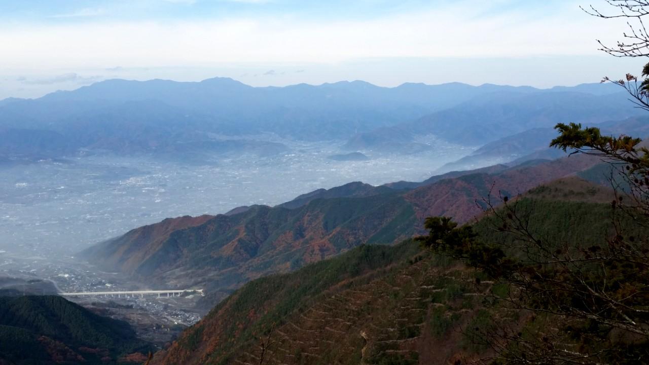
Amazingly, the weather was still warm enough in the second half of November for a comfortable hike above 1500m. I took a bus from Isawa-onsen – again I was one of the only passengers – and got off at Torimisaka pass (1100m). This is another hike in the vicinity of Mt Fuji, and I was able to get many good views of its snow-covered summit, as well as many other mountains of Yamanashi. It was mostly a solitary hike, under a grey autumn sky – Kofu valley below was partially hidden by a layer of fog. I thought Mt Shaka 釈迦ヶ岳 was quite an interesting mountain and deserved to be better-known. The rocky climb up was surprisingly steep and dramatic (it reminded me of my hike up Mt Suwa), and I was rewarded with 360 degree views from the summit. After a short break, I continued along the ridge to Mt Fukoma 府駒山 (1562m) before descending through the forest into the valley. From there it was an easy walk along a paved road to the bus stop near the Ashikawa Farmer’s market.

The Fujikyu bus from Isawa Onsen to Ogossoya (the Ashigawa farmer’s market) was discontinued in 2024. Access is now via car, or by bus from Kawaguchiko Station. However, since 2024, a free shuttle bus runs on weekends between Ogossoya and Suzuran.

Autumn mist covering the lower elevations

Mt Chichibu-Ontake (1080m), Chichibu City, Saitama Prefecture, Sunday, December 18, 2016

View North – Mt Asama is the white bit on the left

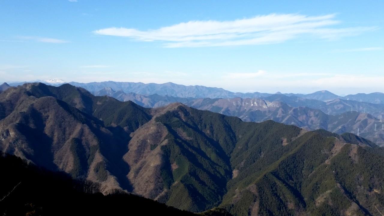
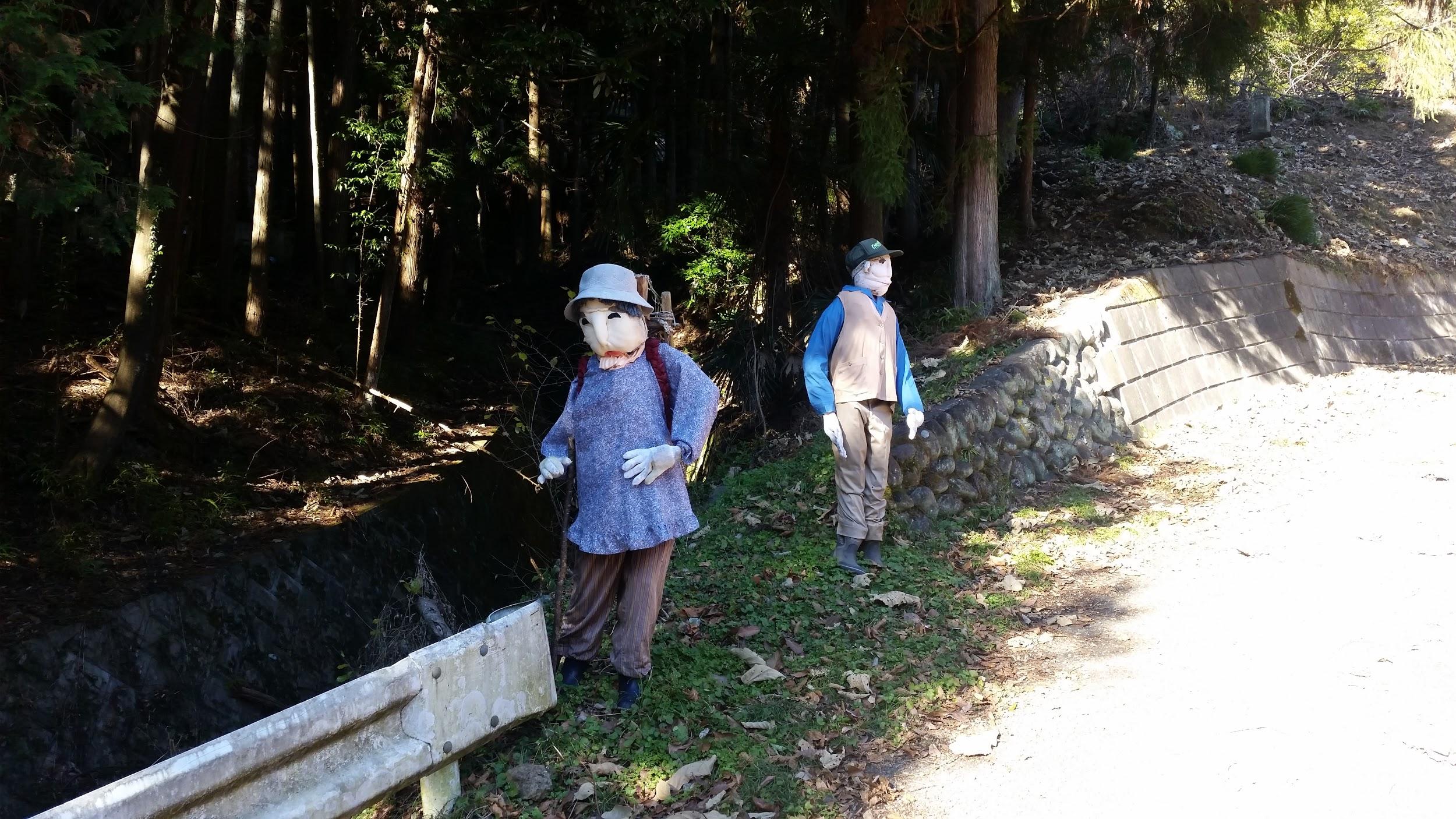
This is a hike I had been wanting to do for a while, but since it was a little short, I had to time it close to the shortest day of the year. Fortunately I was able to walk to the start of the trail from Mitsumine-Guchi station; it was a tad spooky because of all the “fake people” next to the road and in the fields (see the photo below). Some were obviously scarecrows, but not all of them. After climbing for a short while, I got my first views back along the Arakawa river valley, stunningly beautiful in the crisp December weather. After about an hour of steep, solitary climbing through dark pine forest, I reached the small shrine on the narrow top of Mt Chichibu-Ontake 秩父御嶽山, where another hiker was having his lunch. I took some time to enjoy the superb views in every direction – including snow-capped Mt Asama and the jagged peak of Mt Ryokami – before heading down a different route, to a bus stop on the road for Mitsumine shrine.

Fake villagers guarding the start of the trail

Mt Azumaya (772m), Chichibu City, Saitama Prefecture, Friday, December 23, 2016

Countryside view of Chichibu with the pyramid top of Mt Buko in the back

My last day hike of the year, was the peak just to the North of the previous one. The start of the trail was a little further from the train station, so I had to take a bus. This is also a somewhat short hike, so perfect for this time of the year. Soon after starting out, I reached an observation point with nice views of the valley below. There are several paths up but the way I picked had a rocky section with chains – some unexpected fun! One can also reach the top via easier paths. I had more good views along the way, although the top of Mt Azumaya 四阿屋山 was in the trees. I only could see Mt Ryokami, and the mountain range to its North, including Mt Futago, which I climbed six months later and had a scary experience when I went down the wrong trail. This time I was completely alone on the summit. While I was having lunch, the weather turned cloudy and cold, so I hurried back down an alternate path, but which looped back to my starting point. From there it was a short troll to a nice hot spring facility and a bus stop.

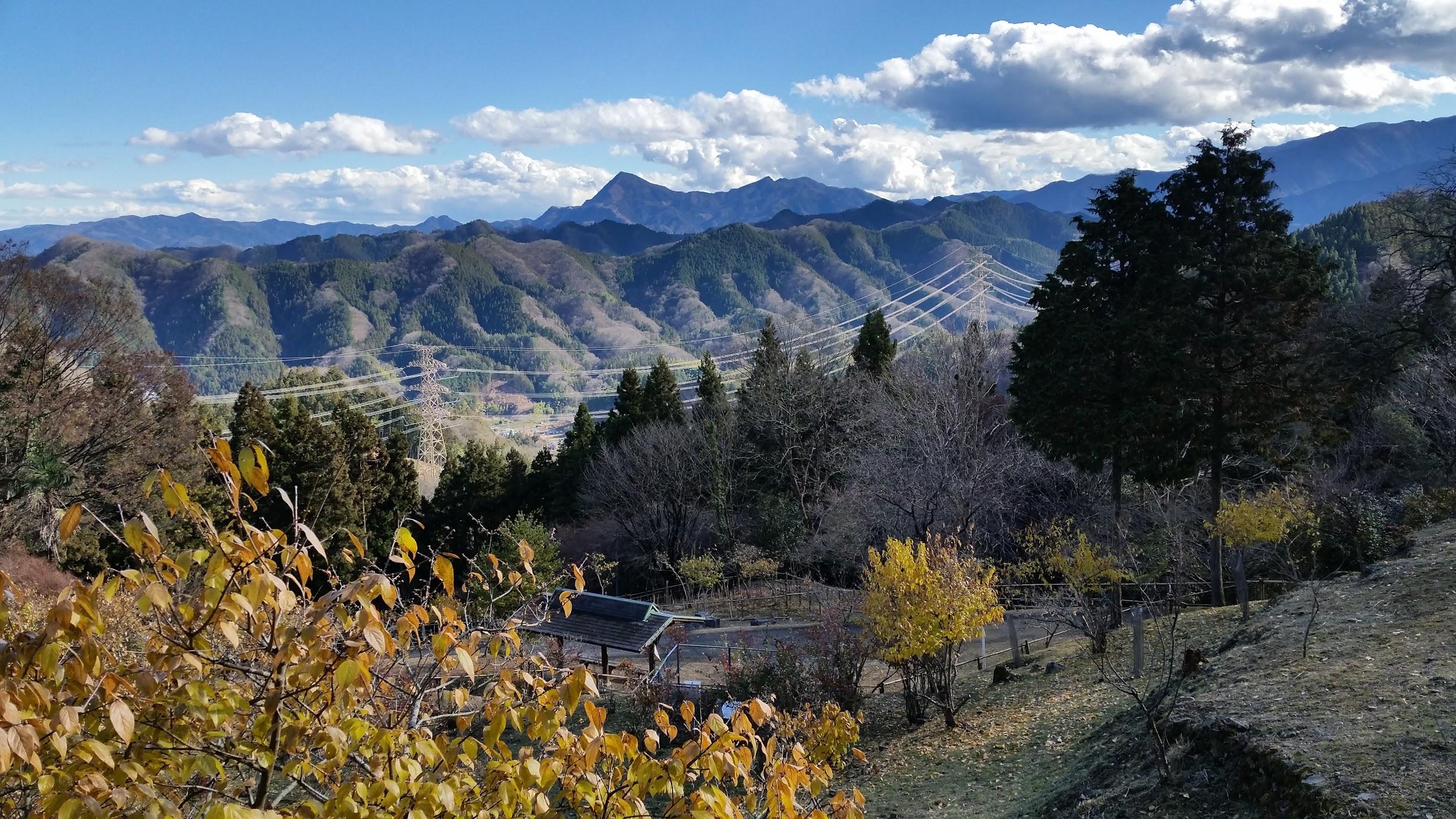
Mt Futago can be seen behind the power line

From the Archives: Tokyo Day Hikes, June & July 2017

As the 2019 rainy season drags on, the past two weekends have been washouts. Fortunately, this gave me time to revisit some of my hikes during the same period two years ago. All four hikes are quite long since I was taking advantage of the longer summer days, and none are featured in my guidebooks. Considering the continuing gloom of this year, I realise how lucky I was with the weather!


Mt Omatei (1409m), Mt Narakura (1349m) & Mt Tsubo (1102m), Otsuki & Uenohara Cities, Yamanashi Prefecture, Saturday, June 3, 2017

This hike starts from Matsuhime Pass (1250m). I first headed Northwest towards Mt Omatei 大マテイ山 (written like this) less than one hour away. It was featured in my best hikes of the Kanto area guidebook, so I wanted to check it out. It was an easy and peaceful walk through beautiful forest, with a good view of Mt Fuji on the way.

Still lots of snow on Fuji in June

I then retraced my steps to the pass, and continued Southeast towards Mt Narakura 奈良倉山 only thirty minutes away. There was another view of Mt Fuji, but by now it was hidden in the clouds. The trail, which had veered southwards, had become a pleasant forest road. On the other hand, dark black clouds had suddenly appeared overhead – fortunately they didn’t lead to any rain.

I saw some pheasants on this hike, a sign of a seldom hiked trail

After another hour of solitary hiking I reached a junction where I turned left (East) at Nishihara Pass – I had been here once before when coming from the opposite direction from Mt Gongen. One hour later I was at the top of Mt Tsubo 坪山. The last part of the hike was down to Saihara village 西原村 where I had hiked recently.

End of the hike – Saihara Village

There are 3 trails heading down from the summit. Unfortunately I could only find two of them, and I ended up going down the wrong one. Originally I wanted to go straight but I went down a much steeper path, heading North. The silver lining was that I could walk along the river at the bottom of the beautiful river valley to the bus stop for a while longer!


Mt Nyoho (2483m), Nikko City, Tochigi Prefecture, Saturday, June 17, 2017

This is a really long day hike from Tokyo, and I only recommend it if you are fit and the days are long – it took me four hours to reach the top and four hours to walk down. I saw only three people during the entire hike. The starting point, Sanbonmatsu (1500), just North of Chuzenji Lake, could be included as a good place for hiking when it’s hot and humid in Tokyo, if it didn’t take such a long time to reach from Tokyo (approximately 4 hours).

The first part of the hike was rather boring, following a road through the forest. At one point I saw a solitary monkey. It took me around two hours to reach the junction with Mt Nantai. By this time, the blue skies had turned into mist. Another hour of mostly flat walking took me to a rocky river valley, where the real climbing started.

Climbing hard from here

Although the climb was tough, steep and shrouded in thick mist, the surrounding forest was wild and beautiful – is it possible that I had left Tokyo only this morning? I put on my bear bell, which I rarely do, since I saw no other people and the vegetation was still thick above 2000m.

It was shakunage season!

I reached a lonely emergency hut after an hour, and I was at the summit of Mt Nyoho 女峰山, a two-hundred famous mountain, just after 2pm. The very last part was above the tree line, and through some very impressive steep and rugged volcanic landscape. Unfortunately the mist was still in. I waited as long as I could, but despite giving some signs of lifting, it never did in the end.

Nyoho summit landscape I

Nyoho summit landscape II

I finally headed down, back to the hut, where I continued along a different path through thickening mist. My plan was to walk all the way down to Nikko city, 1800m below, but I hadn’t realised what I little frequented path I was taking. It was an eerie descent: mostly silent, with fantastically shaped trees popping into view at various points.

Fantastic tree I

Fantastic tree II

Fantastic tree III

Finally, I was below the cloud cover, and a wide view of Nikko city and the surrounding mountains emerged. The path flattened somewhat. I was no longer alone – deer scattered before me. Another hour and a half of walking brought me to the Nikko Toshogu shrine complex, from where it was another twenty minutes to the train station.

A mix of misty and panoramic views


Mt Imakura (1470m), Mt Nabatake (1283m), Mt Asahi (1299m) & Mt Akakura (1257m), Tsuru City, Yamanashi Prefecture, Saturday, June 24, 2017

This is another long hike of my own creation. Basically I wanted to link Michizaka Zuido Iriguchi with Akiyama hot spring. I had been to both places before, but I wanted to hike the ridge connecting them, since it overlooks the valley of Doshi village. I had hiked the opposite ridge when I crossed the entire Nishi Tanzawa mountains in one day. The village of Doshi, which I have never been to, is a place of great fascination to me.

It’s about the same distance from Tokyo as Chichibu, yet it’s impossible to visit as a day trip using public transport due to poor bus connections. So every chance I get to peek at it from the surrounding mountains, makes me feel like I am getting a glimpse of a hidden valley. I must always remind myself not to end my hike along the valley containing doshi valley because it would require hitchhiking to get back to nearby Tokyo.

The “hidden valley” with Fuji hidden in the clouds on the right

The day I chose for the hike was a very hot and humid day, and although the climb to the top of Mt Imakura 今倉山, which I had climbed before, was short, it was also tough. Luckily, from there it was mostly going down, albeit with one steep climb on the way. The ridge was narrow but shady on this beautiful sunny day. Half an hour after leaving the summit I got my first views of “doshi valley” and Mt Fuji peaking through the clouds as an additional bonus.

The path near the top of Mt Nabatake

Thirty more minutes of easy hiking brought me to the top of Mt Nabatake 菜畑山. A steep descending slope, followed by an equally steep one going up, brought me to the drawn-out summit of Mt Akakura 赤鞍ヶ岳. From there it was a gentle downward sloping ridge. The vegetation had changed from wild to tame – you could sense the proximity of human habitation.

As I dropped below one thousand meters, I started feeling the heat and humidity more. At Gando Pass 厳道峠 I turned right. I could have continued straight, but I wanted to explore the connecting to path to Mt Afuri – I had seen the other end I few years ago after climbing that mountain. The first part was disappointing – a fairly steep and difficult to navigate descent, followed by a shorter but equally steep ascent.
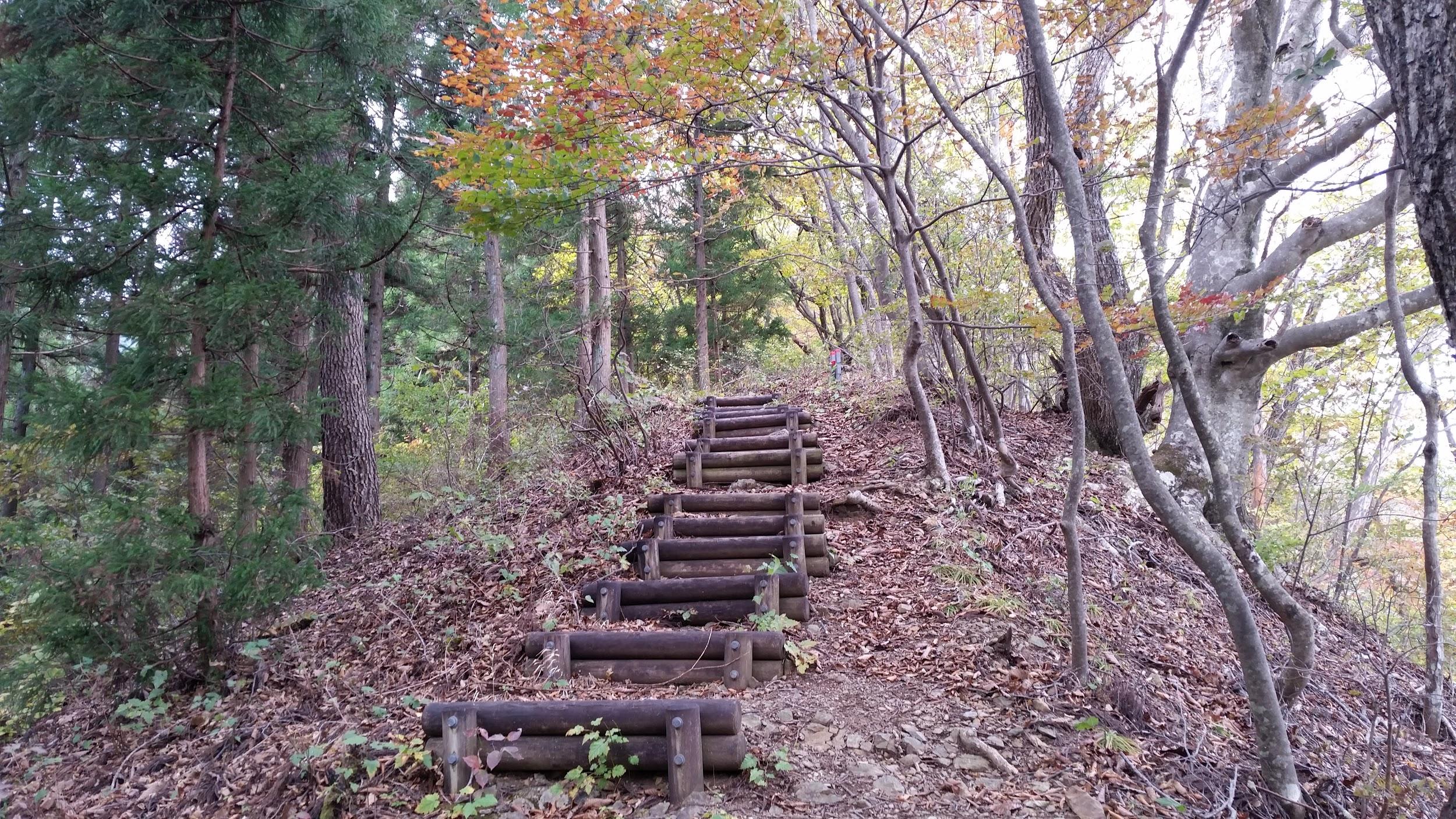
Turn left here

However, after that I was hiking through beautiful forest – squirrels and pheasants  darted left and right into the bushes. The second half of the trail certainly lived up to its promise. Too soon I reached the road at the end of Mt Afuri, from where it was another hour of hiking till the (very welcome) hot spring bath. I was fortunate to spot a Japanese badger crossing the road at one point.

Mother and chick pheasant running for cover


Mt Kita-Okusenjo (2601m) & Mt Kokushi (2592m), Yamanashi City & Kawakami Villages, Yamanashi & Nagano Prefectures, Saturday, July 8, 2017

This is another ridgewalk connecting two prefectures of my own creation. Since the return is via Shinkansen, it’s a bit pricey, unless you have a Tokyo Wide Pass. The starting point is from Odarumi Pass (2365m), the 2nd highest place you can reach by bus from Tokyo as a daytrip. I had been there once before when climbing Mt Kinpu (the day Mt Ontake erupted). This time, I headed due West under a grey overcast sky. Very soon, I reached the trail for Mt Kita-Okusenjo 北奥仙丈山, branching southwards, the highest peak of the entire Okuchichibu mountain range. Unfortunately because of the clouds, the view wasn’t so great.

I didn’t linger since insects were swarming, so I retraced my steps and continued to Mt Kokushi 国師ヶ岳, a 300-hundred famous mountain, which I reached just before 11am. Afterwards, the path descended somewhat, then flattened while turning Northeast. It was a long forested ridge, with few views, and I reached the base of Mt Kobushi, two and a half hours later. I saw very few people, and it was a very enjoyable ramble.

One of the few Southward views I got on this solitary hike

Since I had been up Mt Kobushi before, and thunderstorms were threatening, I decided to skip going to the summit, and descend immediately via the upper reaches of the Chikuma river. This river is the longest and widest river in Japan (known as the Shinano river in its lower reaches). Soon after I started descending, I reached the source of the Chikuma: just a signpost and a trickle of water through the forest, around 2000 meters high. Very soon, the trickle of water became a mountain stream.

The Chikuma river at mountain stream stage

It was a very enjoyable two-hour walk along a beautiful river valley in what was now Nagano prefecture. Eventually I reached the car park from where it was another hour of walking to the bus stop. However, a group of young people kindly picked me up on the way and dropped me off at Shinano-Kawakami station on the Komi line.

Check out the humble beginnings of the longest river in Japan

From the Archives: Tokyo Wide Pass Golden Week 2017

Here are three more hikes that I did in 2017 using the Tokyo Wide pass. For more hikes using the Tokyo Wide Pass, check this blog post: Tokyo Wide Pass Silver Week 2018 Update or search for “Tokyo Wide Pass” on this blog.

Mt Suwa (1549m), Ueno Village, Gunma Prefecture, Thursday May 4

The start of the climb up Mt Suwa is along a small mountain stream

I may have said this before but this mountain probably has the longest access from Tokyo, or at least requires the highest number of different modes of transport. First I used the shinkansen to get to Takasaki. Then I changed to a local train for Shimonita. After that, I hopped onto a minibus, that took me through the mountains by way of a tunnel to the Village of Ueno. Finally I took a taxi, driven by the wife of my minivan driver, to the start of my hike deep deep inside Gunma Prefecture. Amazingly, everything went like clockwork and I was ready to start hiking before 10:30.

Even though it was already the start of May, the mountainside was dotted with yamazakura

The first part was up along a stream following a steep valley. No sooner had I set out that a yellow-furred Japanese weasel or “itachi” crossed my path, the first time I had ever seen one. After crossing the stream several times on wooden bridges, the path suddenly gotten steeper. I was surrounded by the light green leaves of spring and it was very beautiful. Finally I reached the top of the ridge, and the going got easier.

Easy hiking once you reach the ridgeline

Soon I got views of the neighbouring and yet-to-be-climbed Mount Chozuke, as well as the tops of Mt Yatsugatake and Mt Ryokami. Before reaching the top of Mt Suwa 諏訪山, a three-hundred famous mountain in Japan, I had to summit another peak on the way. It turned out to be quite an exciting section – a rocky prominence with steep climbs and drops. The surroundings felt very wild, and it was hard to believe that only a few hours ago I was in Tokyo.

The Rhododendron were in full bloom – Mt Chozuke is in the background

After taking in the great views from the top, I set off for the final part of the hike. I reached the top at 13h30, surrounded by deep forest – I was the only person and it was very quiet and peaceful. I thought it was shame that the path didn’t continue further. The return was along the same way so I hurried back down. There was an option to take a different path further down but it was just too long for a one day trip. After reaching the start of the trail two hours later, I headed to a nearby onsen.

Although the path seemed sketchy at times, it was perfectly safe

After a very quick bath, I started walking back along the road to the bus stop at Ueno Village, one hour away. However before I was halfway there, I was picked up my bus driver from the morning who happened to be passing by in his own car! He dropped me off at the bus stop so I had time to spare before catching the bus back to Shimonita.

View to the North and Gunma prefecture

Mt Oujou (1123m) & Mt Takama (1342m), Nakanojo Town, Gunma Prefecture, Friday May 5

Mt Oujou, the highest point of my hike

This is an off-the-map hike that I found through Google Maps. I was looking for new ways to use the Tokyo Wide Pass and by checking the mountains near the Agatsuma line and then looking them up on Yamareco, I found that Mt Oujou 王城山 and Mt Takama 高間山, both Gunma 100 famous mountains, could be done together as a day-trip from Tokyo.

A good view of Mt Oujou on the way back

After getting off at the the tiny but new Kawarayu Onsen station, I made my way across a long bridge above a meandering river far below. According to the signs on the bridge, there is a plan to dam the river and flood the valley to form a lake. Although the projected representation looked nice, I still felt that it was shame to destroy such a picturesque valley. On the other side, I turned left and walked along the road for a bit before taking a road that went straight up the side on the mountain to my right, to the start of the hiking trail.

According to the dam project, the floor of the valley (where the house is) would be flooded

As with Mt Suwa the day before, the mountainsides were dotted with yamazakura, and all around I could enjoy the new green leaves of spring. I reached the top of the first summit of my hike before 12h30, less than two hours after setting out. I had great views of Mt Asama to the south, and Mt Azuma and Mt Shirane-Kusatsu to the West, all still covered in snow. To the West I could also spot the outline of Mt Haruna.

For a Gunma hike, the path was fairly easy to hike

After a short rest I continued along the hiking path. It followed a ridge with steep drops on both sides. I had occasional glimpses of Kusatsu on my left. I saw no else on my hike, and that in itself made it really lovely. Eventually I crossed a road and started up a steep path – the final ascent for the second peak of my hike. The view from the top was less good than the first one but still nice. The clouds had rolled in and it was starting to get cold so I soon headed back the same way I had come.

Glimpses of Mt Kusatsu-Shirane through the branches

Most of the return was along the same way, although it was possible to take a small detour to the right at one point. Coming back down, I was able to admire the steep dramatic mountain peaks on the opposite side of the valley. Unfortunately, as far as I know, there are no hiking paths there. After reaching the station, I continued a little further to Kawarayu Hot Spring, about 10 minutes away through a tunnel, a great place to soak before catching a train back to Takasaki and Tokyo.

Only locals know a way up this mountain

Mt Azumaya (1341m), Minakami Town, Gunma Prefecture, Saturday May 6

Clouds rolling over the highest points of Tanigawa range

Since the weather seemed to be holding, I dared do a third consecutive hike. Also since it was the day before the last day of Golden Week, I felt the trains coming back wouldn’t be too crowded. Mt Azumaya 吾妻山 is a Kanto hundred famous mountain, just West of Minakami Town in Northern Gunma. As far as I know, there is no public transport to the trailhead, so I had to settle on a short taxi ride from Jomo Kogen Station on the Joetsu Shinkansen.
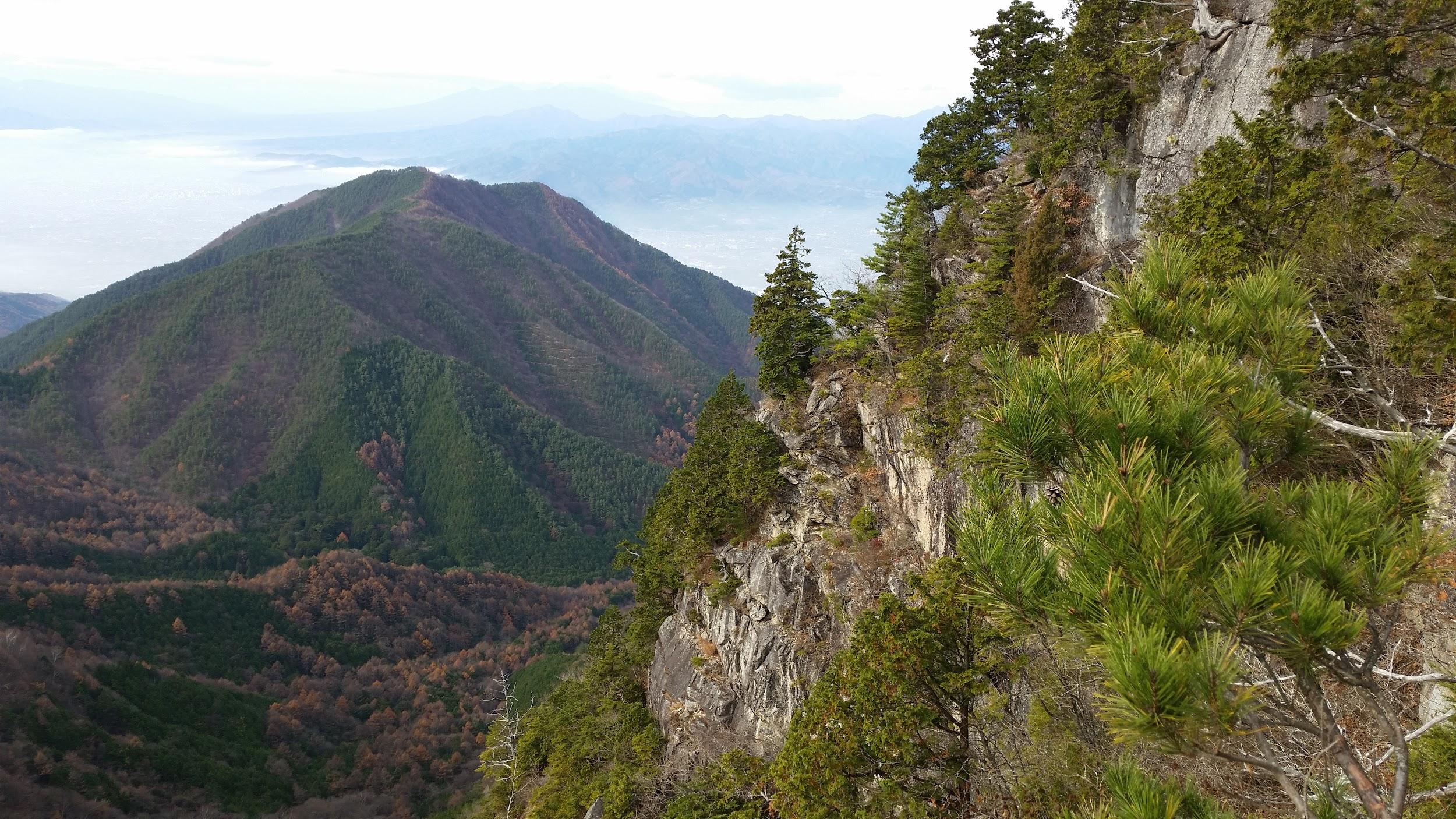
The taxi dropped me off at the end of the road in an opening in the midst of a dark pine forest. There were no other hikers and the sky was overcast. After a quick breakfast, I set off along the forest road. I soon reached a wide lake, with the main ridge on the opposite side. I opted to walk it clockwise and it turned out to be a lucky decision: I found out later that the other half was obstructed by snow! Despite not being especially high, its closeness to Japan’s snow country meant that the area gets quite a lot of snow in the winter.

Lake at Omine Marshland – the white slightly to the left of the center is Sakura, and the white on the right near the water is snow

After reaching the opposite end of the lake, I started climbing and spotted some Azalea next to the path, a sure sign that spring was on the way. Other that, I didn’t see much spring green in stark contrast to my two previous hikes. However, like the two previous hikes I saw absolutely no one. I did see some “Kamoshika” or Japanese Serows jumping away from me, and I startled a few Japanese pheasants. At one point it started to rain lightly and I started to doubt whether I should have gone on a hike at all.

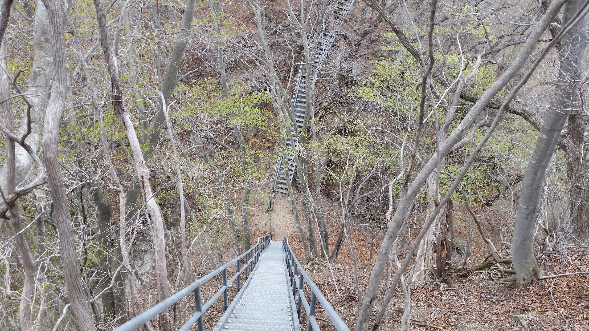
Long staircase going down and then up the other side

Fortunately the rain soon stopped. After going down a very long metallic staircase and the going up an equally long one on the opposite side, I was confronted with more snow, this time lying across my path. As I walked on the snow, I was amazed that I was doing a snow hike in May at around 1000 meters. Luckily the path was easy to follow. I reached the highest point and a small shrine before noon. There were good views to the East of Minakami Town and yet-to-be-climbed Mt Mitsumine. To the North was the Tanigawa ridgeline still partially covered in snow and clouds.

I was surprised to see so much snow on the trail during Golden Week

The weather was improving gradually, and after lunch, I got some better views of Mt Tanigawa and the neighbouring peaks. Unfortunately I couldn’t linger since there was still a long way to go. I started down, continuing North along the ridge. I had some nice views of Mt Hotaka, and finally saw lots of green spring leaves. After descending a long wooden staircase, I reached the bottom of the valley, and turned onto a nice forest road along a river.

By now, the weather was sunny and I was in high spirits. Here I relaxed and somehow managed to miss a turn to the right. Soon the forest road ended, and I had to retrace my steps in order to find the turn. The turn took me across a river and onto a road where I turned left. My plan was to walk all the way to the hidden onsen of Sarugakyo, one hour away. Fortunately the road was quite wide and had sidewalks on the sides. I could still enjoy various kinds of Sakura in full bloom on the way.

A worthwhile detour – Enmusubi Waterfall

Eventually I took a small hiking trail to the left which ended at the the very nice Yushima Campground alongside a river. I did a short detour to check out a nearby waterfall, then walked up a short road to Sarugakyo Onsen (literally hot spring of the Money Capital). The view of Lake Akaya with a string of Koinobori flags strung across it was quite spectacular. After a nice bath with a view on the lake, I caught a bus back to the Jomo Kogen station, just one hour from the capital of Japan.

Looking back towards the Tanigawa range

From the Archives: Tokyo Day Hikes April May 2017

Mt Mikasa (1013m), Mt Nekko (1035m), Mt Goto (944m), Mt Kon (933m) & Mt Tanaba (753m), Izu Peninsula, Shizuoka Prefecture, Sunday April 16

The final part of the hike had views galore

A hike of my own creation following the long northward curving ridge opposite Mt Amagi, smack in the center of the Izu Peninsula. If you haven’t hiked Mt Amagi yet, I would recommend that hike first, since this is simply a continuation of that hike. Here, I really appreciated the natural beauty of the Izu portion of the Fuji-Hakone-Izu National Park, and was grateful that I could hike it as a day trip from Tokyo, even though it is over 120 km away from the capital.

The area between my position and Mt Fuji is not part of the National Park

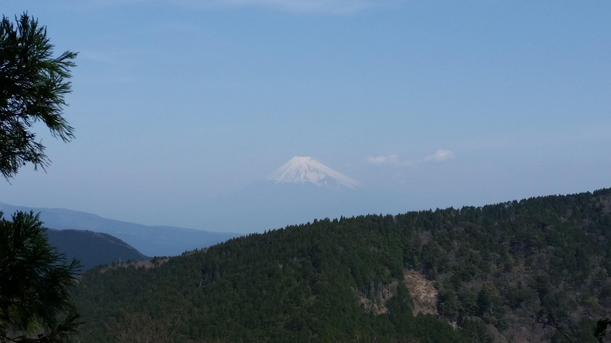
First I had to get to the Amagi Pass bus stop (650m), a 40-minute bus ride from Shuzenji station at the end of the Izu-Hakone railway. From there it was a short hike to the top of the pass, a place I had passed previously on my descent of Mt Amagi. I turned right along the mostly level path and soon had some good views of snow-covered Fuji to the North, as well as the valley I had previously come through by bus. I soon arrived at Nihonsugi pass (the pass of the two cedar trees). There was a good sign board which included information in English. It’s also worth mentioning that the signs along the way were some of the best I’ve ever seen.

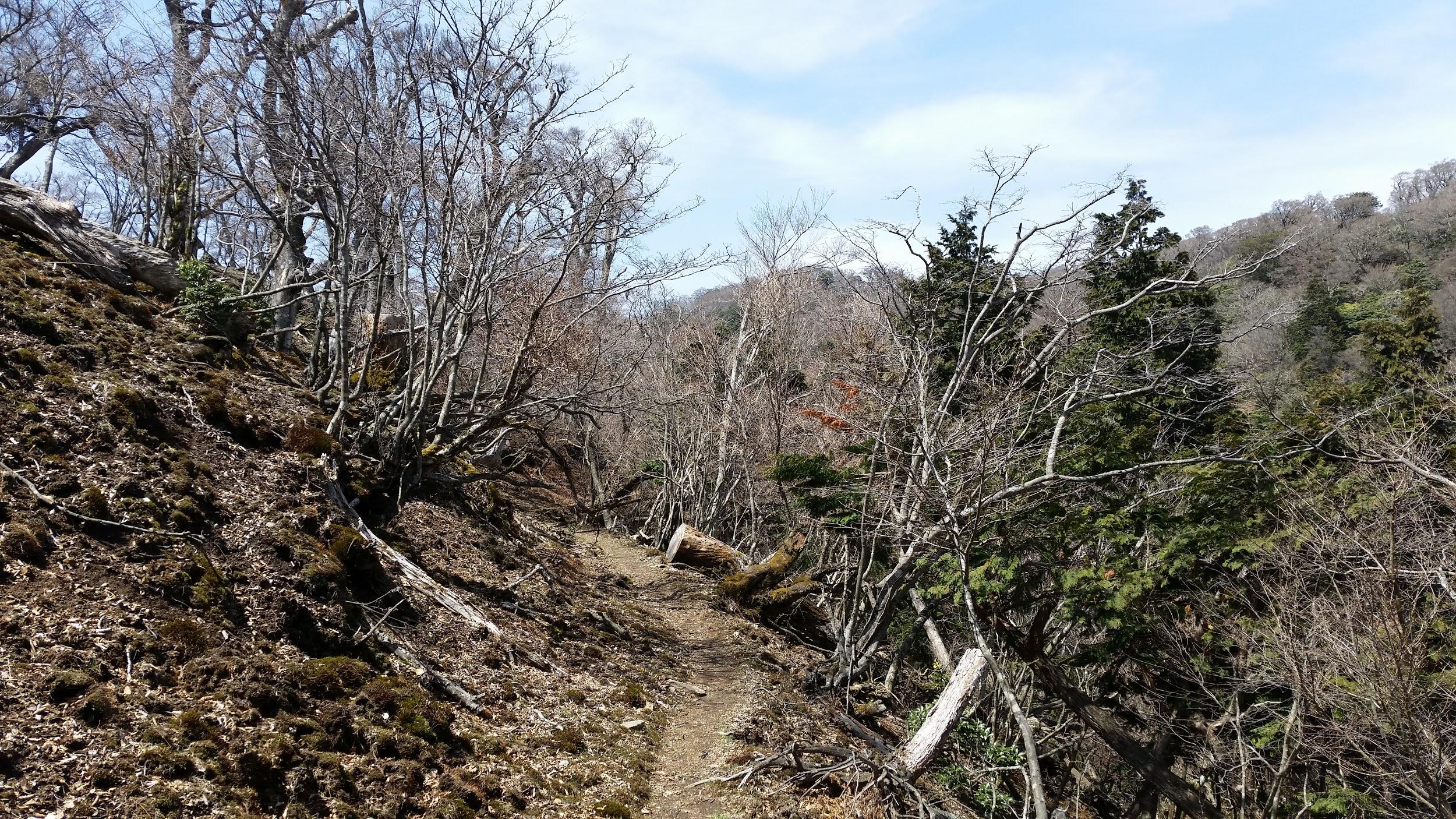
Most of the time the trail looks like this

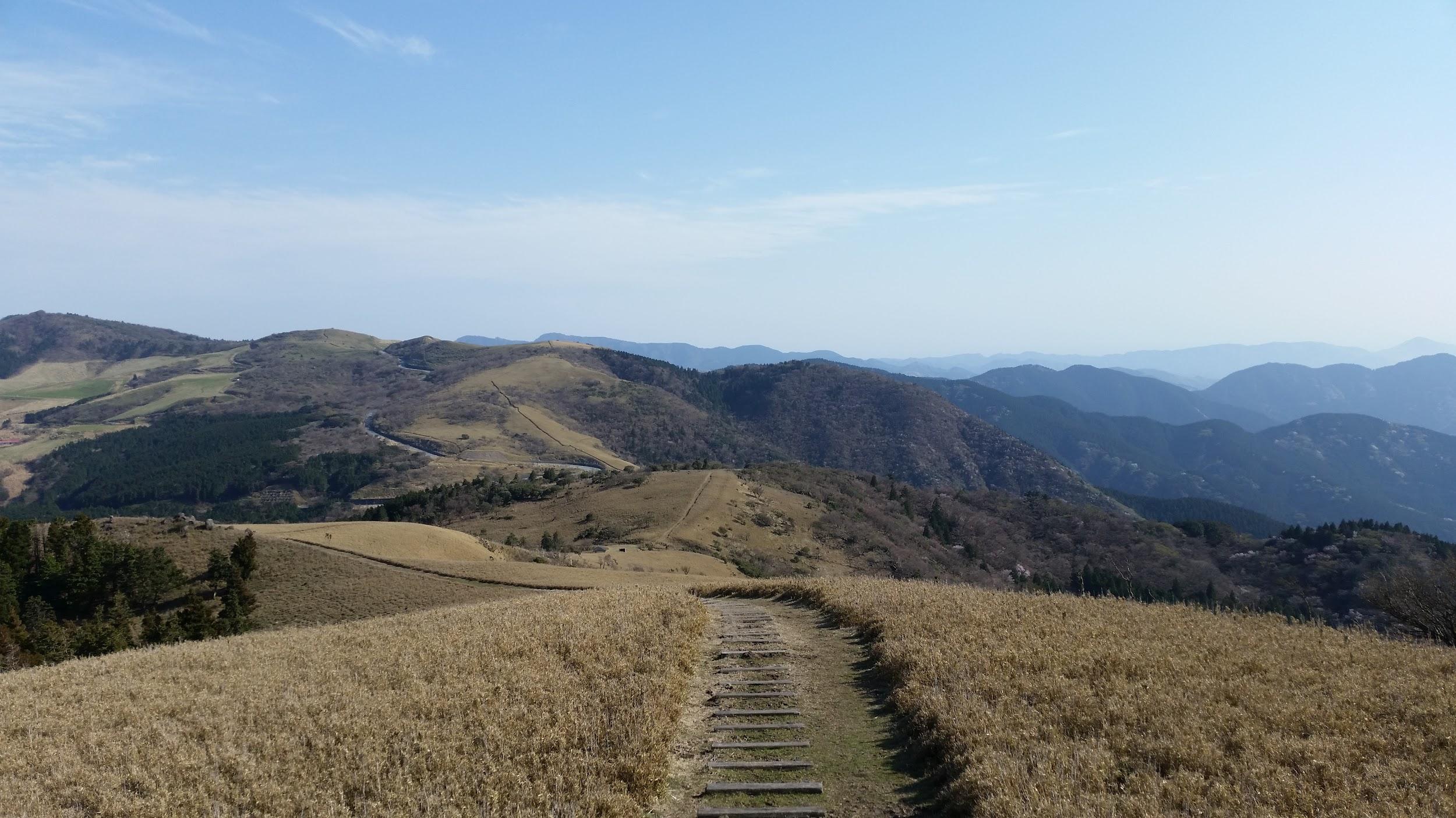
I knocked off Mt Mikasa 三蓋山, Mt Nekko 猫越岳 and Mt Goto 後藤山 in succession, each peak surrounded by trees. I had occasional glimpses of Mt Fuji, passed a small pond, and saw quite a big toad on the trail, a fairly rare sighting in my experience. It was a beautiful hike during which I saw almost no one. Five hours and a half after setting out, I reached Nishina Pass and the West Izu road at around 2h30. After checking out the great views of Suruga Bay to the West, I turned North and started up another slope, starting to feel a little tired. I was buoyed by the sweeping views since the area is mostly farm pastures, as well as sakura trees in full bloom dotting the sides of the mountains.

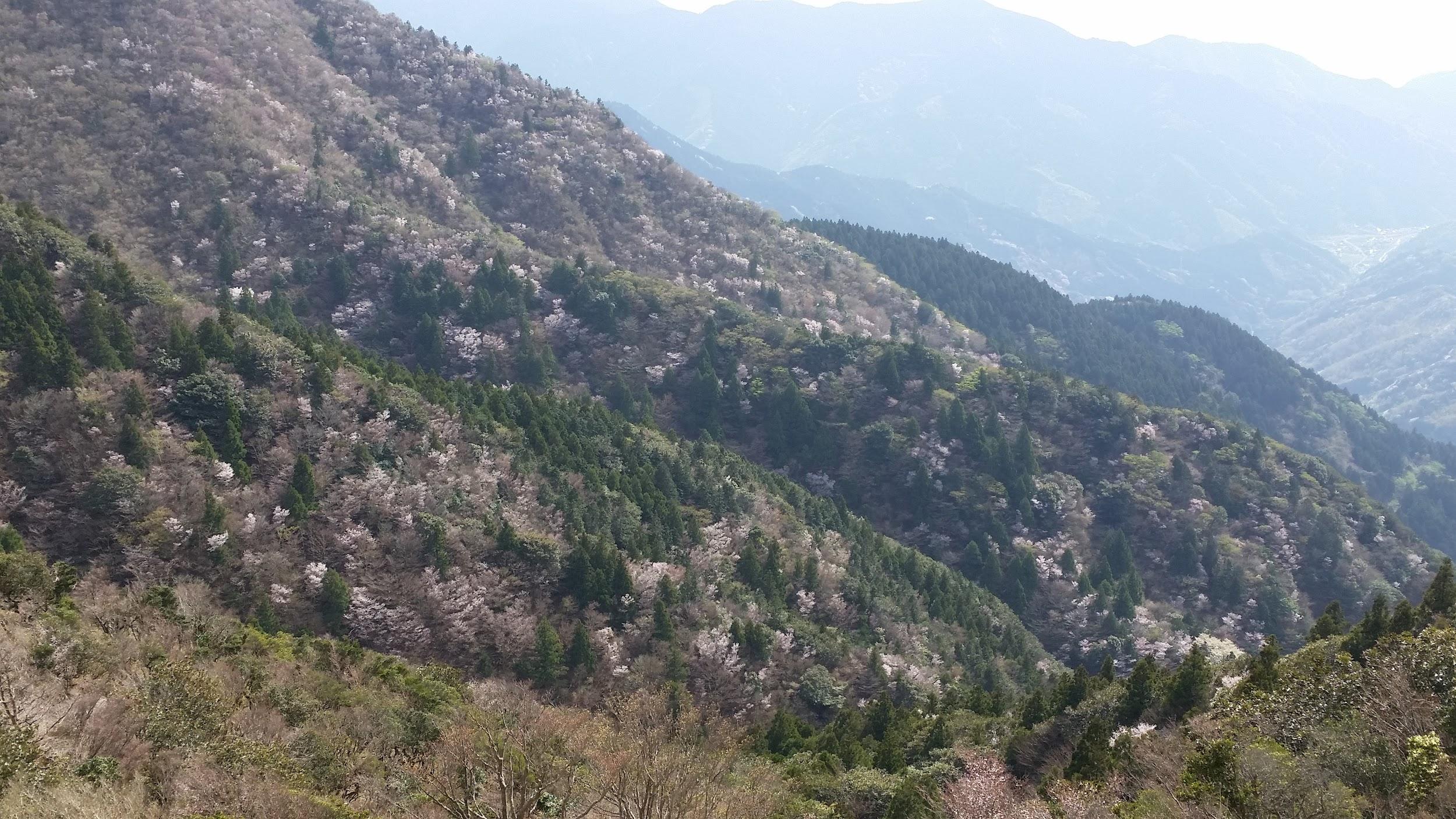
Mountain sakura were in full bloom

At this point my hiking path was running parallel to the road, and after a number of passes, I reached the top of Mt Kon 魂の山 just before 4pm. A final effort brought me to Mt Tanaba 棚場山 at the end of the afternoon, just after 5pm, from where it was another hour to a bus stop and my ride back to Shuzenji, a town famous for its hot springs. The hiking path continues all the way to Mt Daruma, but I had already made a visit there the year before.

Spotting any kind of wildlife on a hike is always a source of excitement


Mt Futago (1165m), Ogano Town, Saitama Prefecture, Sunday April 23

This hike mainly follows the entire length of the ridge

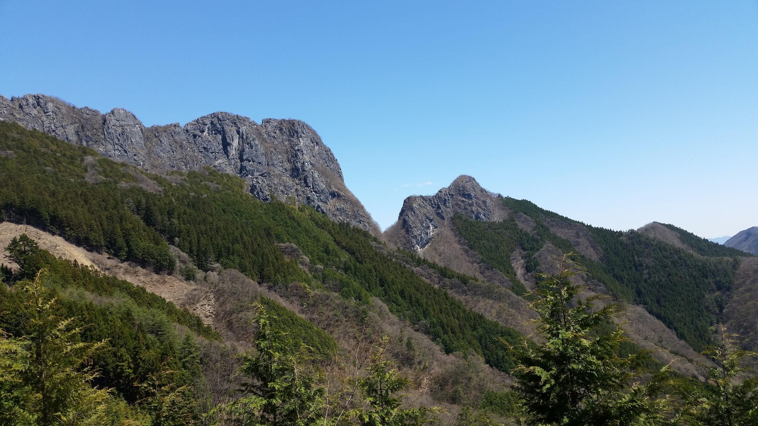
This was an exciting hike along a narrow ridge on the border of Saitama and Gunma prefectures, at the edge of the Chichibu mountains, and in the shadow of Mt Ryokami. It had been recommended to me a couple of years before by fellow hikers staying at the Kumotori lodge on New Year’s Eve. The trail looks deceptively short on the map but does require a full day of hiking. Mt Futago 二子山, meaning twin mountain because of its two peaks, can be reached by taking a first bus from Seibu-Chichibu Station, and then changing to a second bus at Ogano Town.

Chichibu as seen from Mt Futago

The first part of the hike is along a road. After you finally leave the road for the trail, there are some great views of the rocky double peak of the mountain, which seems quite impossible to reach. Once the path reaches the forested area at the base of the cliffs, it curves left under the rocky walls and finds a way up the Northern end of the mountain. It’s steep and roped but you’ll find yourself on the top ridge in no time. From here it’s important to progress with caution along the mostly level path, since there are drops on both sides. I had to be careful not to get distracted by the amazing views: Mt Ryokami and the other Chichibu mountains to the South, Kanna River valley and the mountains of Western Gunma to the North. On this perfect day, I also got to see the snowy tops of Yatsugatake and Asamayama.

North towards Gunma – the highest point is Mt Akaguna

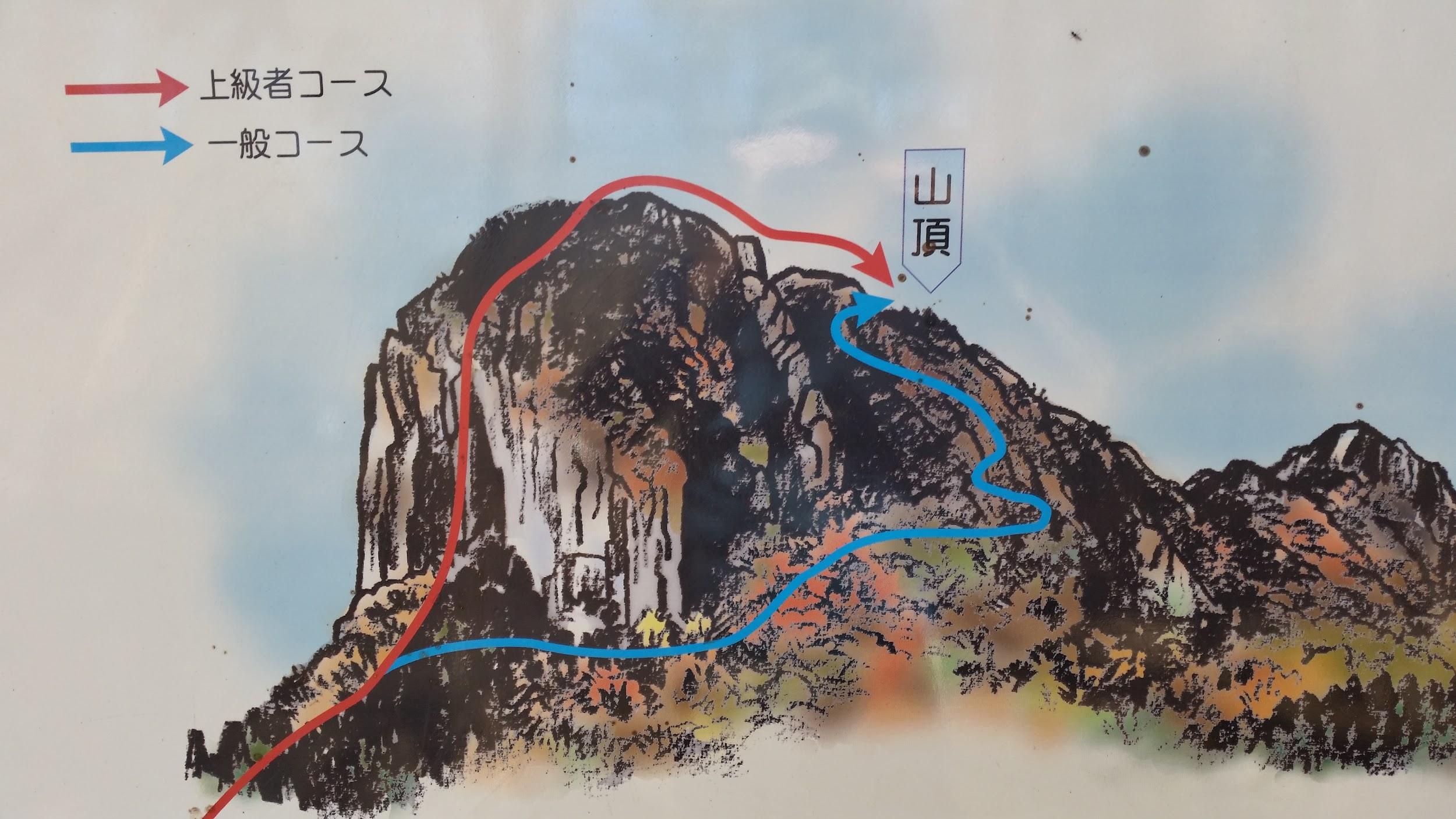
I eventually reached the western peak where I took a well-deserved lunch break. People were climbing up the North cliff with all the proper equipment. It is at this point that I made a big mistake. After lunch, I continued straight along the ridge. I hadn’t bothered to read the description of the route in my Japanese guidebook (I now do this every time), and I had rushed ahead since I was a little behind schedule. Soon I found myself climbing down successive rocky faces with only thin ledges between them. I am used to the occasional rocky face, but they usually come with ropes, chains and ladders. However, here, there was nothing, just metal bits for attaching ropes.
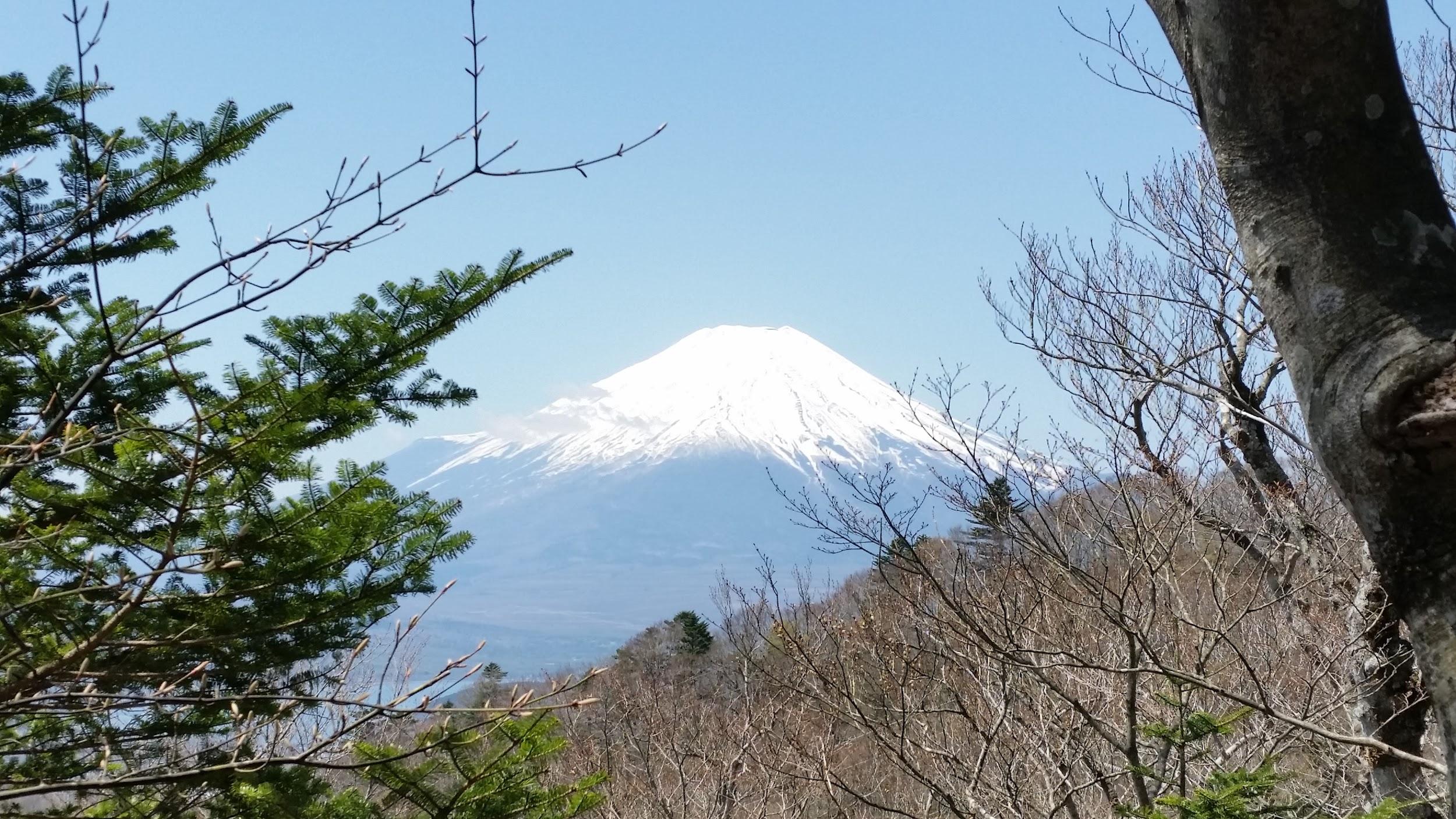
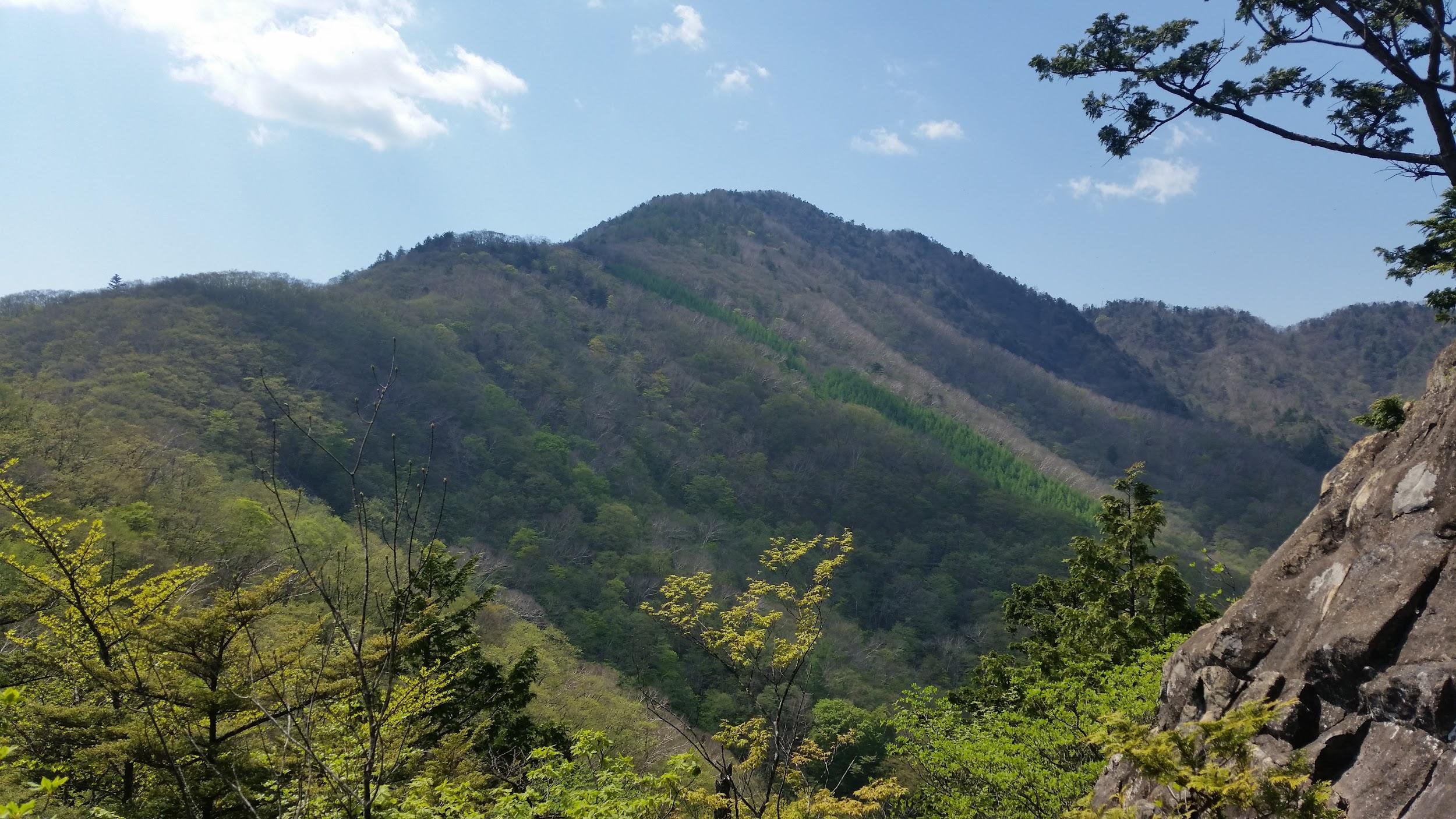
The West Peak of Mt Futago

On one ledge, I had a good look up and down, and realised that I was in the midst of a cliff – this certainly wasn’t the right path. My knees started to shake uncontrollably since any mistake could lead to a fatal fall. At this stage, going back up was as risky as continuing down, so I gulped the remainder of my coffee, and proceeded downwards. I don’t think I have ever been so frightened since I did the “daikiretto” in the North Alps.

I mistakenly took the “advanced” red route instead of the “usual” blue one

Eventually I reached the base of the cliff and a little further the path merged with the path I should have taken. Soon I reached a pass where I left my pack and did a quick round trip to the lower and less impressive eastern summit. There were good views of the Western summit and the cliff I had just hiked down (shivers). After taking in the views, I decided it was time to head down since it was nearly 3pm. The descent down a forested valley was uneventful and I reached the bus stop around 4pm.


Mt Komotsurushi (1379m) & Mt Azegamaru (1293m), Nishi Tanzawa Mountains, Kanagawa Prefecture, Sunday April 30

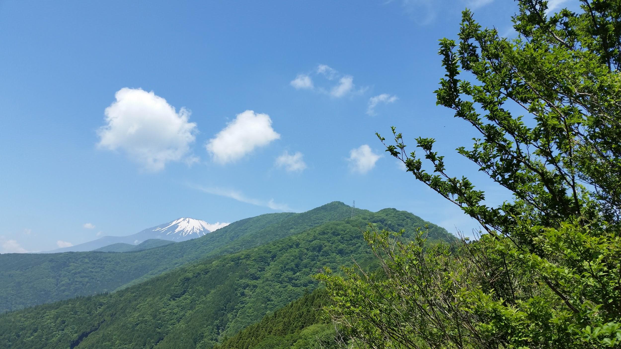
Seeing Mt Fuji is one of joys of hiking in Japan

This was another of my original hikes, and it’s also part of the Tokai hiking trail. I really wanted to walk through the westernmost area of the Tanzawa mountain range, but none of the peaks were featured in my guide book. This is probably because the area is rather difficult to access, despite being half the distance of my previous hike to Izu. The problem lies with the adjacent Doshi valley, which has extremely poor public transport. One needs to take a bus from Sagamiko station and then change to another bus. However the transfer times don’t line up so if you go that way you can’t make it back the same day.

Across Doshi Valley – Mt Shotai

Instead I took what must be the most roundabout route ever to approach the start of the trail – from behind. First I took a train from Shinjuku to Fujisan station via Otsuki. There I caught a bus to Yamanaka lake, where I changed to another bus heading to Doshi village, and finally got off at Yamabushi Pass. Despite the long detour, I was ready to start hiking at 10h30. I was the only person to set off on the trail to the top of the ridge. There I turned left (Northeast) towards the Tanzawa mountains with the Fuji area to my back. In the clear spring weather, I had good views of Mt Fuji along the way as well as Mt Shotai to the North. The trail was easy to hike and I saw no one.

A really easy trail to hike

There were some escape routes to the left down into Doshi valley but since there are hardly any buses running there, they are pretty useless. I soon passed the summit of Mt Komotsurushi 菰釣山 and its nice and clean emergency hut that had just opened for the season at the beginning of April – the visitor book showed some guests had already stayed there. This peaceful and relaxing hike eventually brought me to the top of Mt Azegamaru 畦ヶ丸山 with a nice stone summit marker. There is no view but there is another emergency a little bit before the summit.

A man-made waterfall on the final section of the hike

From there, it was an interesting descent down a rocky river valley with multiple crossings along small wooden bridges to the Nishi Tanzawa nature center. Curiously, the signs changed from the usual white paint on wood, to the unusual black paint on yellow painted metal. They seemed quite new and I’ve never seen such signs anywhere else. At the Nature Center, which I reached shortly before 5pm, I caught a bus back to Shin Matsuda station for a much shorter ride home.


Mt Gangaharasuri (1874m), Otsuki City, Yamanashi Prefecture, Saturday May 20

Mt Gangaharasuri as seen from Mt Ubako

This is another summit I had been eyeing for a while but couldn’t figure out how to access it without a car. In the end I saw no other way but to walk for 2 hours along an asphalt road. The starting point was the final stop of the Fujikyu bus from Otsuki station on the Chuo line – I was the sole passenger as usual. The first part was quite pleasant, following a river. Less than an hour out, I passed a taxi coming down the mountain. Only after it disappeared from sight, I realised I could have used it to get to the start of the trail since it would have cost half or less of what it would cost to go from Otsuki station.

A mountain stream in the heart of Yamanashi prefecture

I finally reached the parking area at Otoge pass (1560m) just after 11h30. I took a short break and enjoyed the good views of Mt Fuji. Luckily the summit was only 45 minutes further and 300m higher along a nice hiking trail. The top of Mt Gangaharasuri 雁ヶ腹摺山, located just North of the Chuo Line and West of Otsuki, is one of the 12 viewpoints of Mt Fuji in the Otsuki area. After lunch, I headed down a different path. At first it was pretty steep but soon I emerged at the top of Mt Ubako where there were some good views of the peak I had just descended.

Mt Fuji less clear in the late May haze

After that it was a long descent along a forested ridge during which I met no other hikers – most other people having done the roundtrip from the pass by car. Eventually I went down a short path to the right to join up with a road and a couple of inns. Unfortunately they didn’t allow daytime use of their hot baths, so I walked along the road till the bus stop and got back to Otsuki station where I caught a train home and a shower.

Tokyo Day Hikes March 2019

Five weekends in March and four hikes done…not too bad, especially considering that the last weekend was hanami and the weather has been pretty foul lately. This month I stuck to Ibaraki and Chiba prefectures, as well as to low altitudes as winter maintained its grip on the Kanto area. Only one hike was station to station. The others relied on additional forms of transportation such as bus, taxi and a kind offer of a lift to the nearest train station from a local. Next month, I will definitely do a hike within the confines of Tokyo prefecture!

Mt Sekison (348m), Kimitsu City, Chiba Prefecture, Saturday March 2

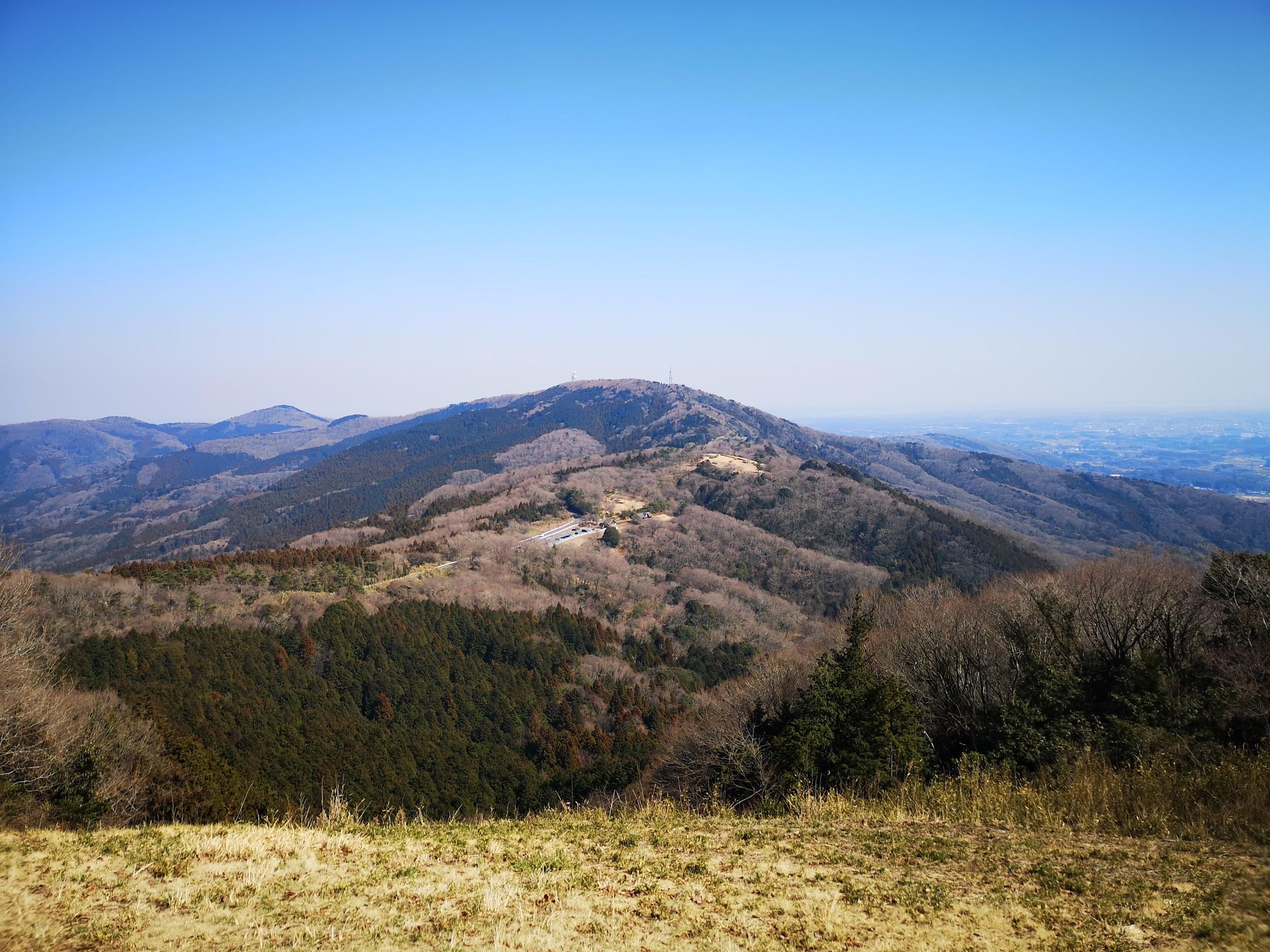
The peaceful top of Mt Sekison in the heart of Chiba

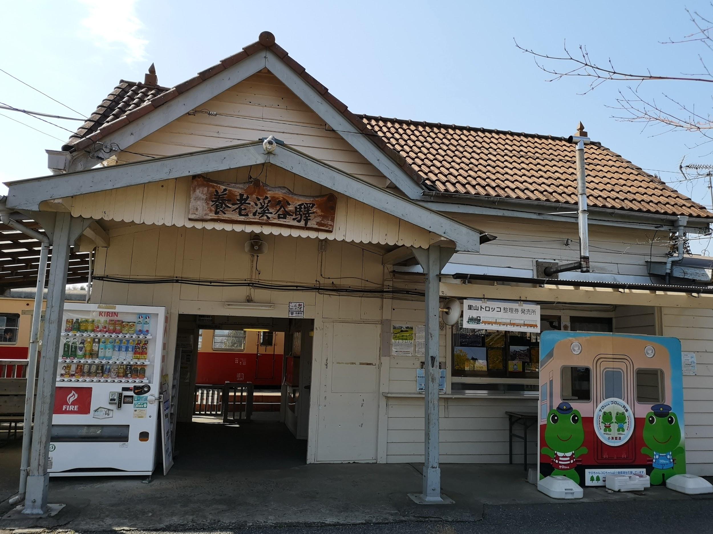
I finally returned to Chiba after more than a year. The two main issues I have with Chiba hikes are 1) public transport access is usually a problem (even now, Google Maps doesn’t have information on many bus routes) 2) trail signs leave a lot to be desired. Despite those shortcomings, Chiba has some great hiking, especially in the colder months. This time I choose a fairly straightforward hike connecting Yoro Keikoku station, on the Kominato line, with Kazusa-Kameyama station, on the Kururi line, and passing by the summit of Mt Sekison 石尊山.

I hadn’t been to the Yoro river valley since May 2016, and I had forgotten what a wonderful train ride it was: the retro train from Goi station will definitely put you in the mood for hiking. At one tiny station along the way, locals were selling bentos on the platform and passengers were encouraged to get off to buy something. I bought some tasty “fried balls” and a cup of local sake. After I got off at my destination, the station attendant kindly asked me about my itinerary and gave me a useful map – a very nice welcome!

The charming 90 year-old station of Yoro-Keikoku

If you haven’t hiked the Yoro River valley before, I’d recommend doing that first. I had, however, hiked it a few years before, so I set off along a road perpendicular to the river. Shortly after setting off, I spotted a lone monkey in a field, but it fled before I could get a good picture. Still, it was my first monkey spotting in Chiba prefecture. The first part of the hike was along a narrow road that followed a gradually climbing ridge. There were few cars so it was quite pleasant, with occasional views of the neighbouring ridges to the left and right. Unfortunately, I noticed that people had dumped trash down the steep sides at several points. I don’t know if this is still a problem or whether it’s a thing of the past – the signs warning people not to dump trash were old and faded – but considering that it’s within a protected nature zone, a clean-up might be in order. I finally reached the first of five short tunnels along the way, always a nice way to spice up a hike.

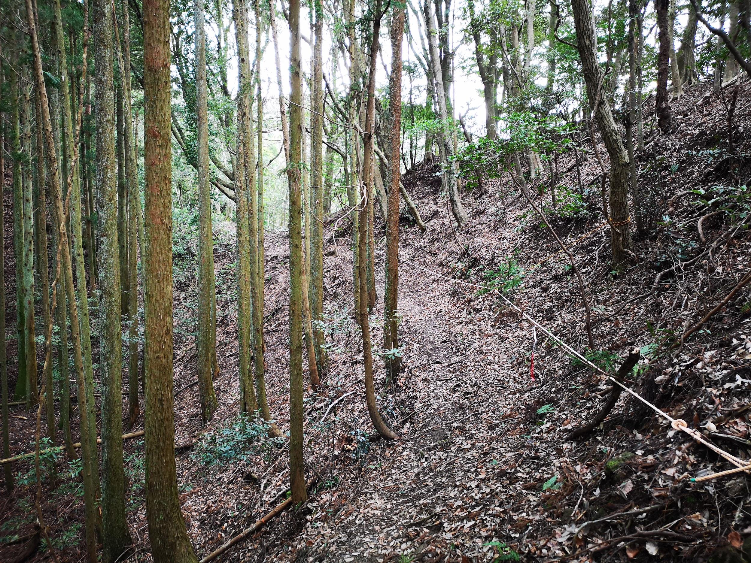
Ropes to help you stay on the path

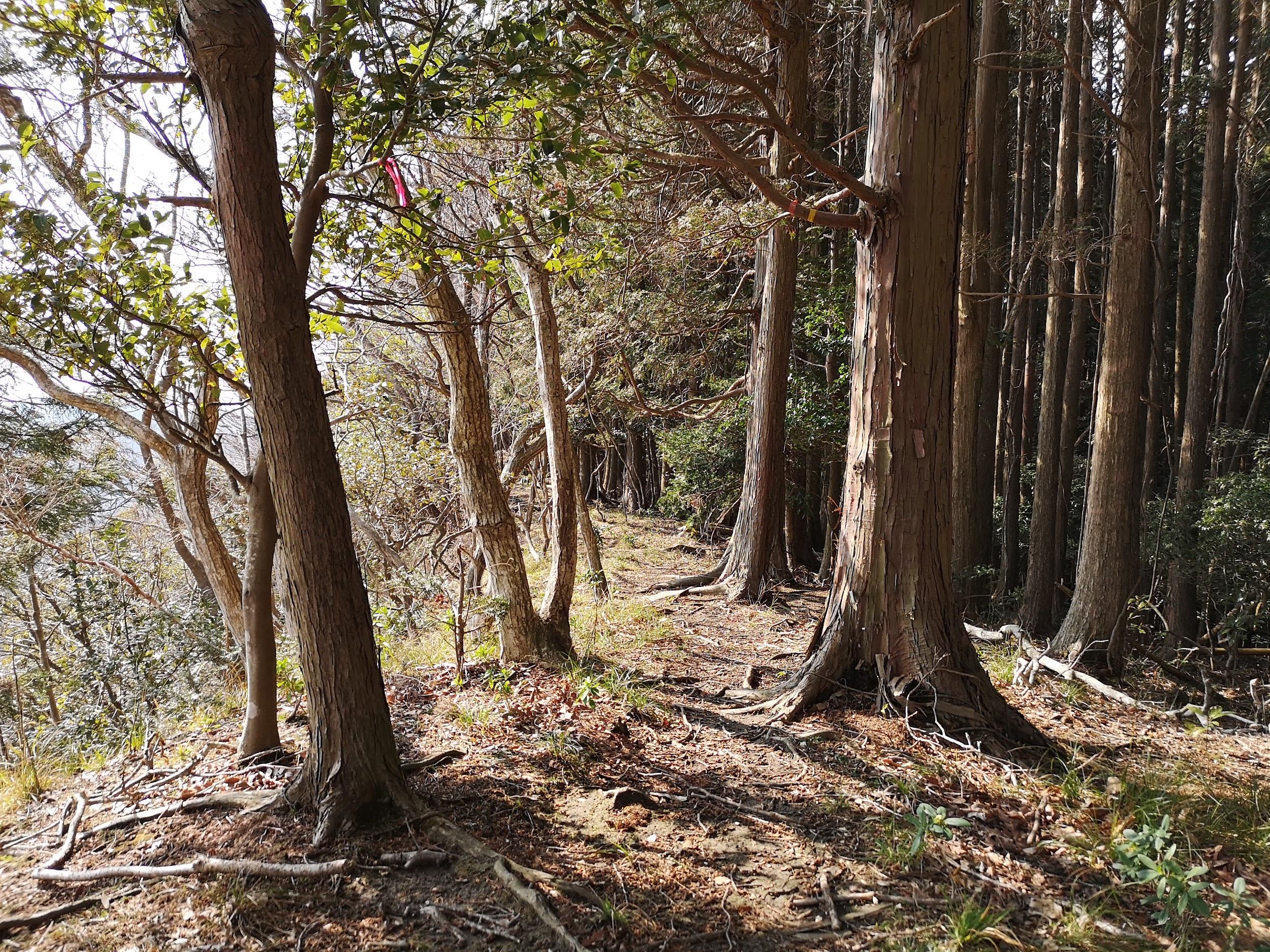
After the fifth tunnel I turned left onto a dirt forest road. It was a very enjoyable and solitary walk in the middle of nowhere. After a while the road ended and became a small up and down trail along a narrow ridge – a true Chiba hiking path. Although there were almost no signposts, the path was well-maintained and had ropes along the tricky bits. After crossing some nice forest, I reached a high level area with some good views to the West through the trees – a good place for a lunch break. The sun which had been ducking in and out of the clouds, chose this moment to come out and warm me up.

A good place to stop for a late lunch

I was finally approaching the summit of Mt Sekison. The final climb to the top was along a staircase in dire need of some maintenance. The summit area was devoid of views but pleasantly green and peaceful. My research had revealed that there was a path from Mt Sekison all the way to the Pacific coast but I decided to keep that for another time. I started to head down to the entrance of the trail, and the end of my hike, but the trail soon vanished. Since the road wasn’t far I decided to simply head straight through the forest and I eventually emerged onto the road. Nearby was the lovely Shichirigawa Onsen and bus stop. However after enquiring at the onsen, I found out that the bus wasn’t running. Luckily the onsen owner offered to drive me to the train station about ten minutes away, after joining me for a hot bath!

Mt Hokyo (461m) & The Chiyoda Alps, Tsuchiura City, Ibaraki Prefecture, Saturday March 9

View of the Chiyoda Alps from the top of Mt Omachi

This is another hike that seemed difficult to access till Google Maps showed me the bus times. The bus from Tsuchiura, on the Joban line, runs all the way to Mt Tsukuba and was this quite crowded. However I was the only person to get off near the start of the trail up Mt Hokyo – it seems that most people go by car, as was made clear by the large parking area. There is also a nice rest house with pamphlets of all the trails. It was pretty empty when I was there but I am sure it must be quite lively later in spring. I decided to take the trail that went by Mt Sengen. At first it went through fields, then parallel to a beautiful mountain stream. The final part was a long steep slope (actually called the very very long slope).

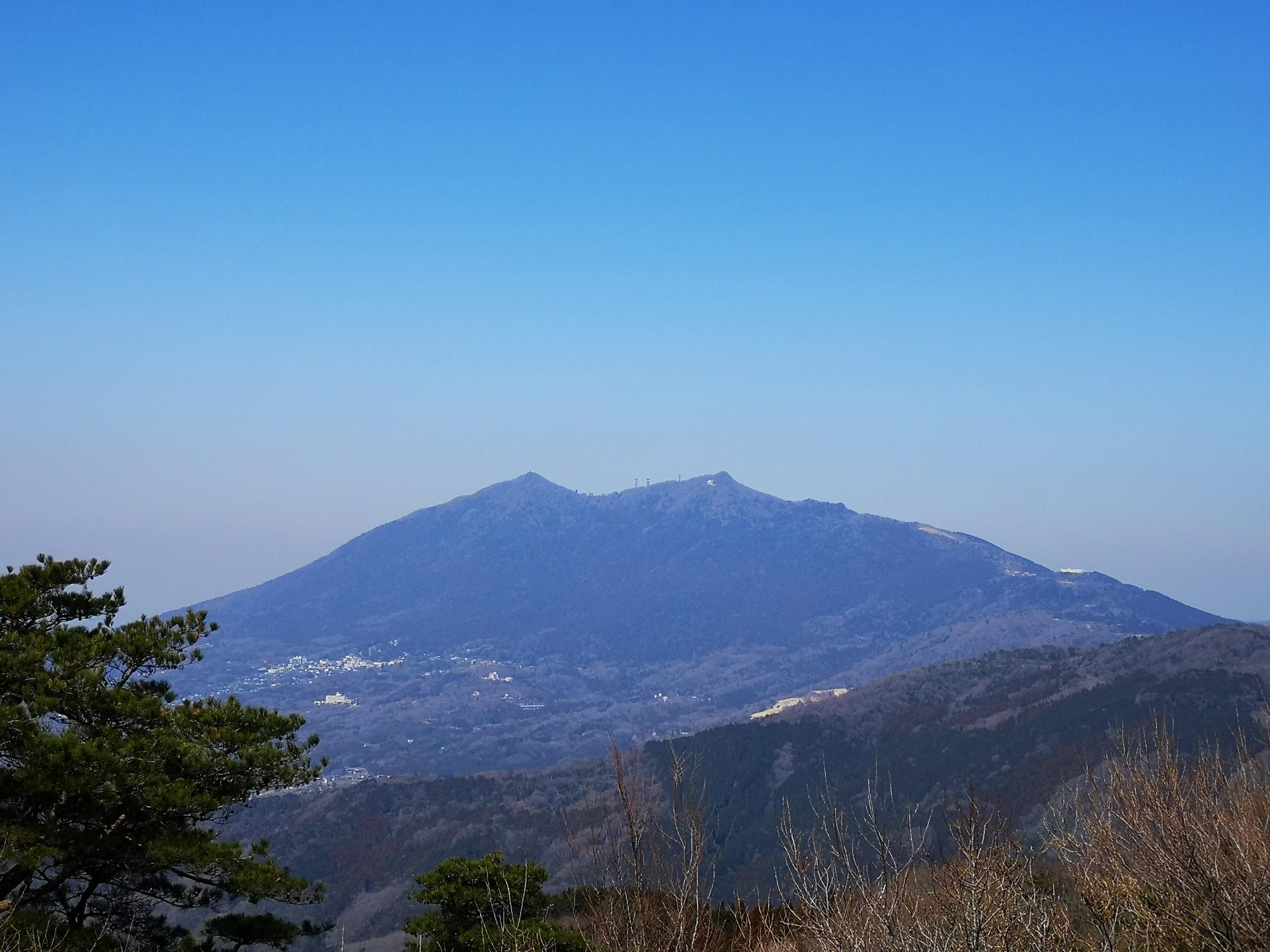
Perfect view of Mt Tsukuba from the top of Mt Hokyo

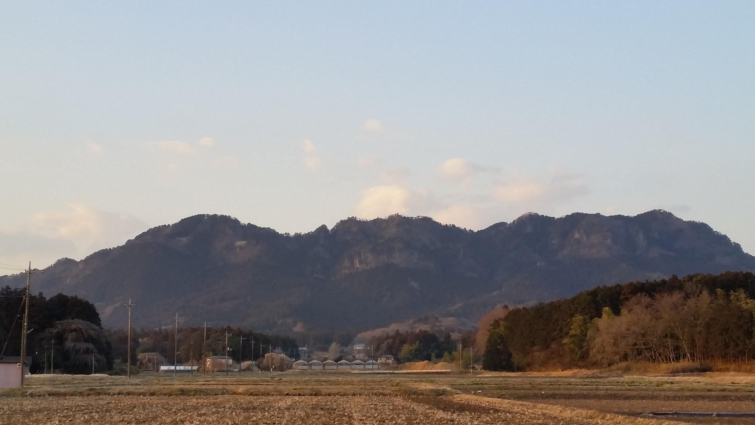
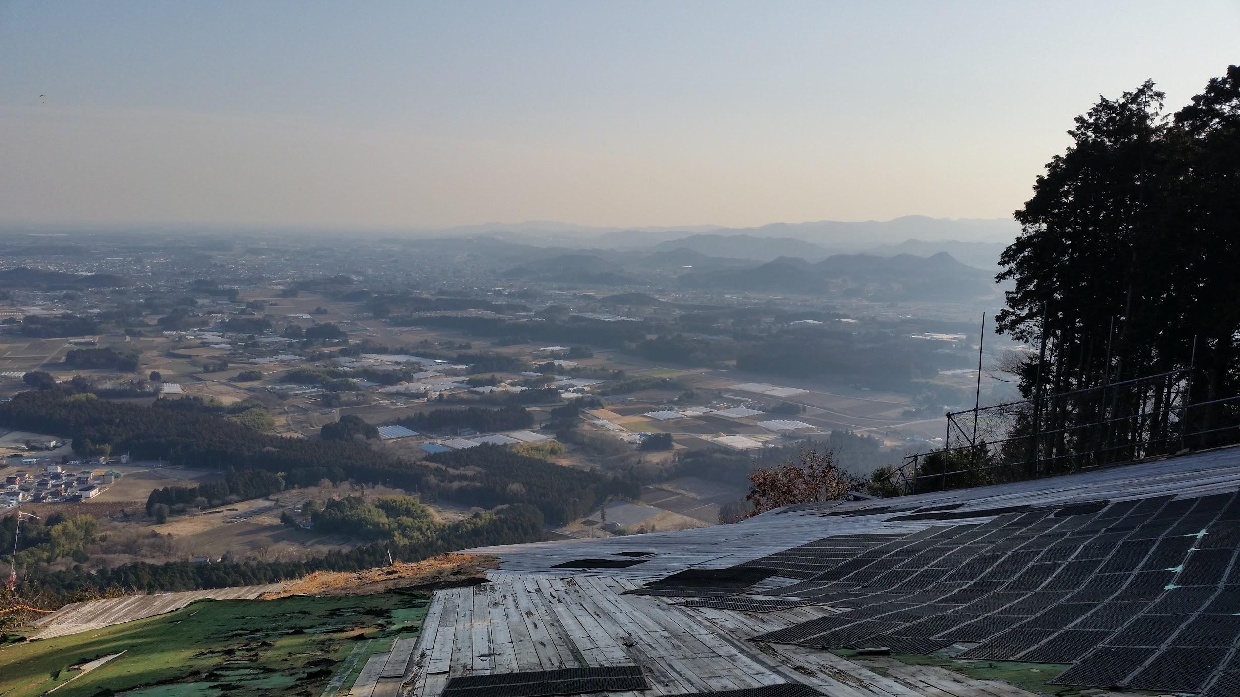
After catching my breath at the top of Mt Sengen, I continued to the top of Mt Hokyo, about half an hour away. From the top, there were great views of Mt Tsukuba to the North, as well of my next destination, the Chiyoda Alps to the East, described in my guide book as a separate hike. However, since Mt Hokyo was quite a quick climb, I decided to try to combine them. There is a nice forest road (no signposts) leading to the busy Omote Tsukuba Skyline. Then it’s about an hour walking to get to the start of the Chiyoda Alps. On the way I passed by Mt Omachi (361m) 大町山, slightly off the road, and a launching spot for paragliders. I also passed by the Asahi Pass View Park, a parking area with great views of the very flat Ibaraki prefecture to the East. I also got to observe some hobbyists flying remote controlled planes.

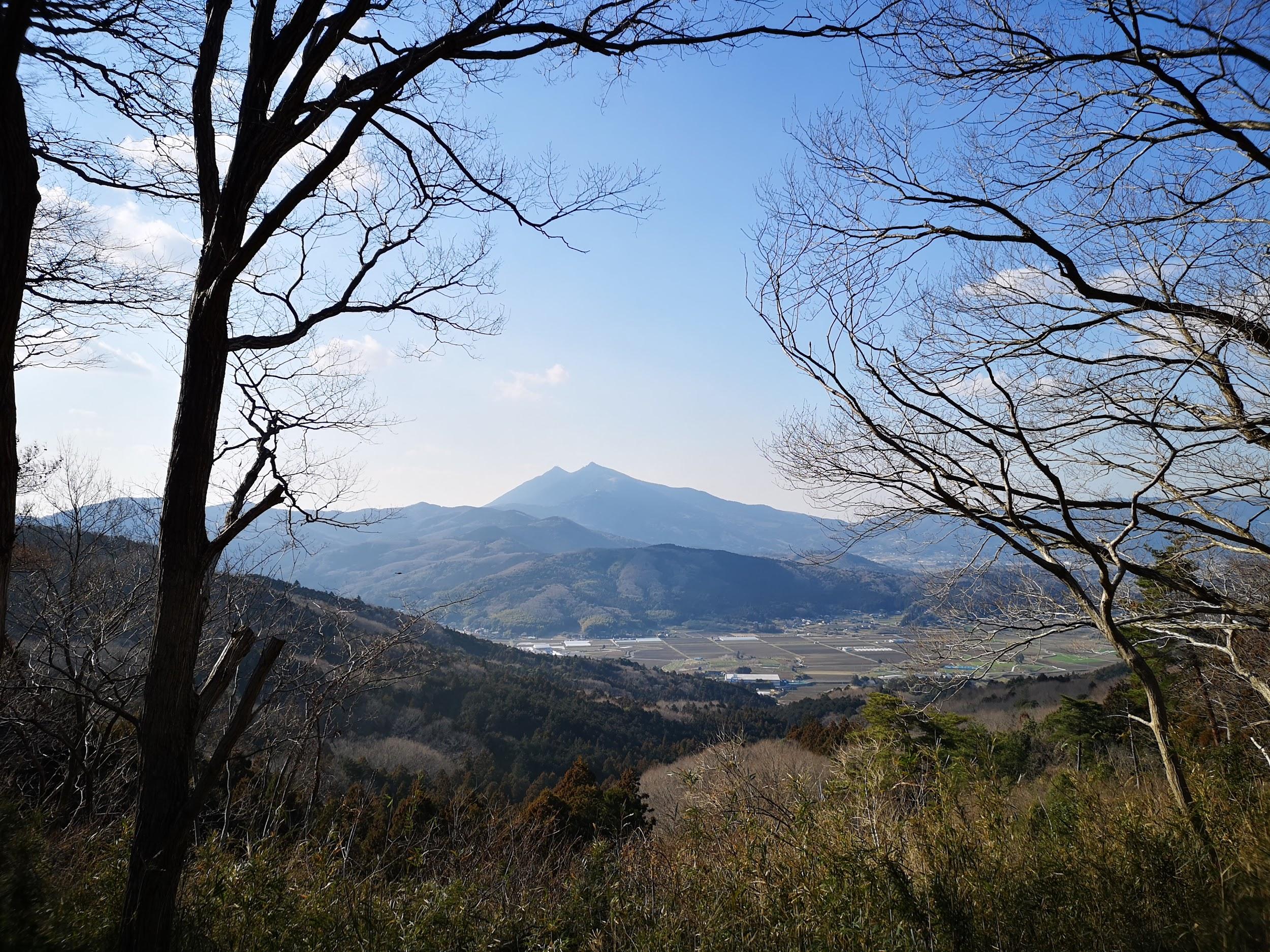
Mt Tsukuba as viewed from the Chiyoda Alps

I finally reached the start of the Chiyoda Alps, after 2pm. There are two main peaks: Mt Yukiiri (345m) 雪入山 and Mt Sengen 浅間山 (345m). There were many escape routes to the left and the right. After what seemed like an interminable path, I reached Mt Gongen, the final peak of the hike, after 4pm. I quickly checked out the view and hurried on to to the closeby bus stop, from where I was able to get a bus back to Tsuchiura station.

Still too early for green leaves

Remote controlled plane doing loops in the sky

Mt Kumano (311m) & Mt Morigane Fuji (340m), Hitachiomiya City, Ibaraki Prefecture, Sunday March 17

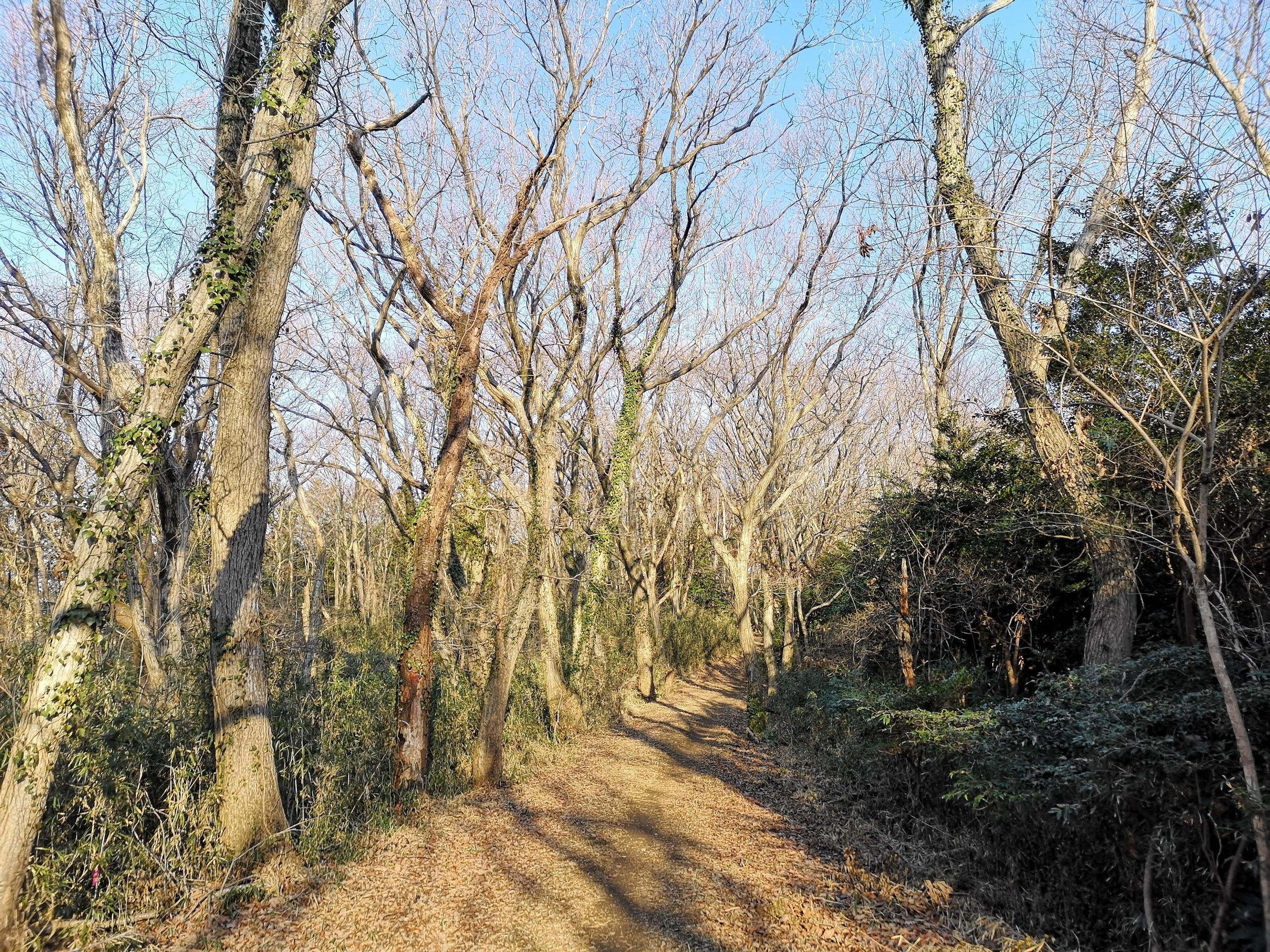
Path leading to the to the top of Mt Kumano

I decided to go to Ibaraki again because I wanted to check out Kairakuen Park in Mito, one of the 3 famous parks in Japan, especially famous for its plum blossoms. But first the hike: after arriving at Mito station in the morning, I got on the Suigun line and got off at the unmanned Shimoogawa Station one hour later – I was the only person to get off there since most people were heading to Mt Nantai further down the line.

The start of the hike up Mt Kumano

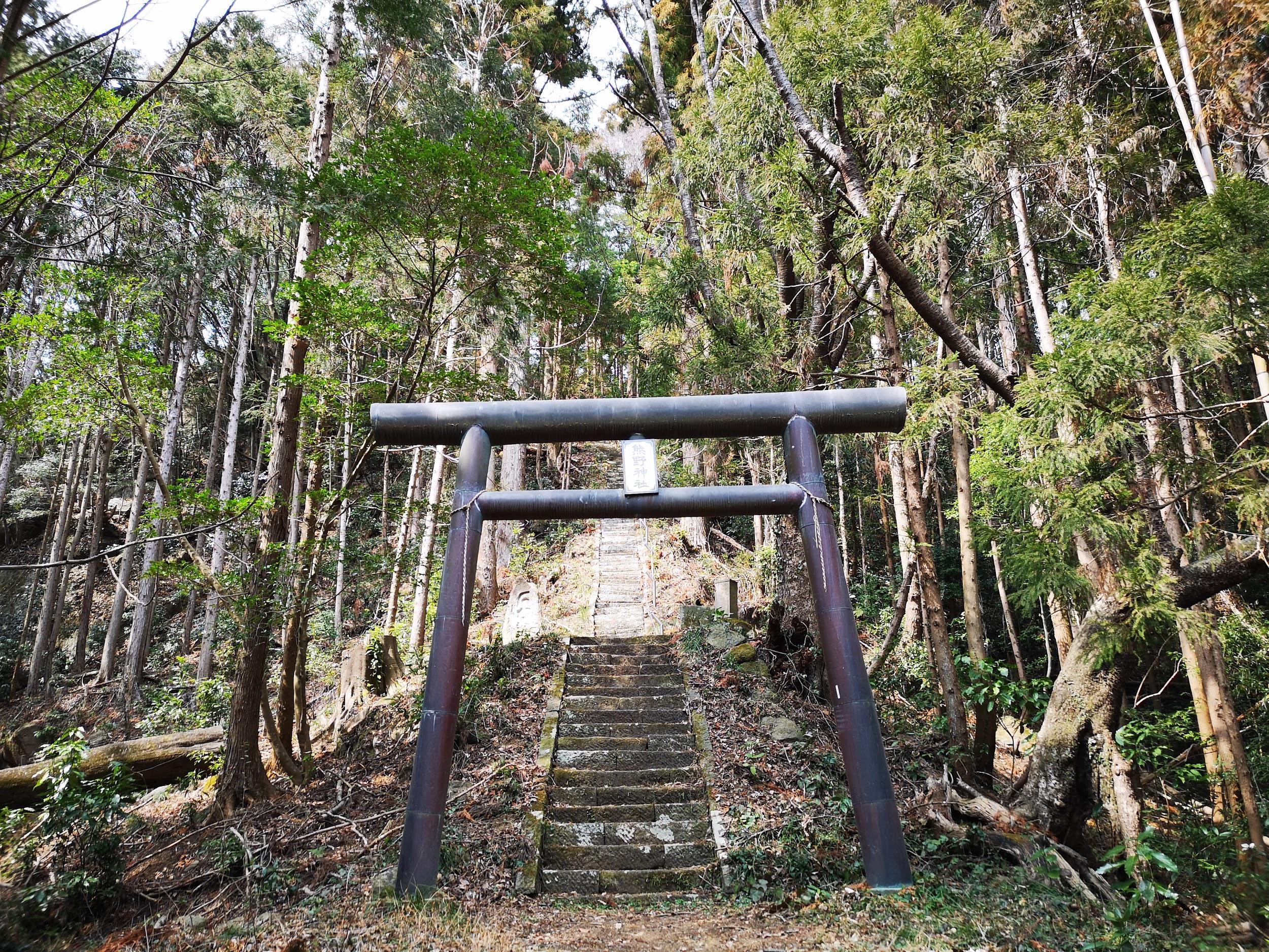
After crossing the river and passing by some beautiful plum blossom trees, I reached a beautiful forest path which I was able to enjoy all by myself. Eventually I reached a “torii” and a long staircase leading up to the top of Mt Kumano 熊野山, where there were good views of the Kuji river valley. I got to enjoy the last bits of sunshine before the clouds rolled in.

The summit is at the top of these steps!

The next part of the hike involved descending all the way down to the river, crossing to the other side and making my way to the start of the trail of Mt Morigane Fuji 盛金富士山, where there were some beautiful plum blossom trees in full bloom. Half way up, I emerged into an open space with great 360 degree views – if only the sun were out, it would have been perfect!

The best view of the hike

I spent some time here taking photos before continuing to the summit where the views were less good. The descent was surprisingly steep, and I was down in no time. It was only 2pm so I had plenty of time to check out the plum blossom garden in Mito City.

Mt Moto-kiyosumi (344m), Kamogawa City, Chiba Prefecture, Sunday March 24

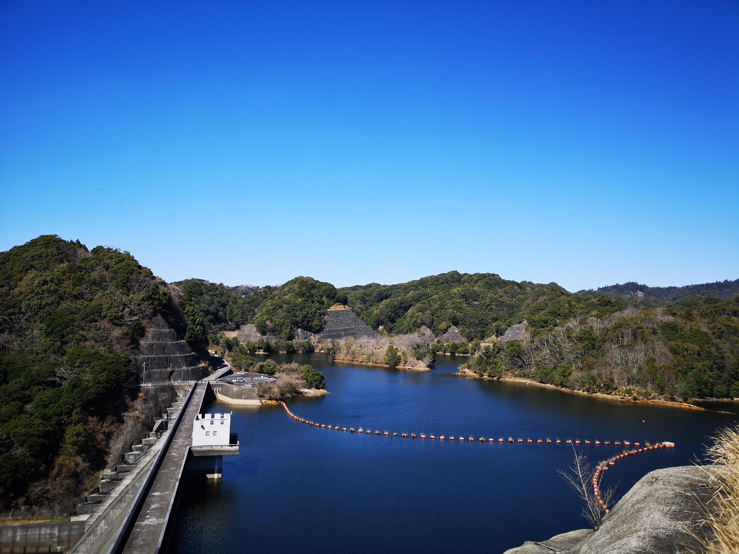
View of Hodai Dam on a blue-sky day

I really wanted to go back to Chiba before the warm weather arrived, and I was given a good opportunity by a high pressure system that brought cold but sunny weather to the whole of the Kanto area towards the end of March. Apparently Western Boso has the highest amount of rainfall in the whole of Chiba, but I hardly saw a cloud during my hike.

Start of the long ridge leading up Mt Moto-Kiyosumi

The start of the hike was from Hodai dam, a truly beautiful area with few people, which I reached by taxi from the train Awa-Kamogawa station. I saw even fewer people on the hike – a family of monkeys crossed the path at one point. After what seemed like an interminable hike along an up and down narrow ridge, I reached the top of the quiet, but viewless Mt Moto-kiyosumi 元清澄山 just before 1pm. A short way beyond, I rejoined the Kanto Furenai Michi, a network of paths covering the entire the Kanto area. This section was well maintained with good signposts.

The second part of the hike followed a well-maintained trail

After some ups and downs a reached a very enjoyable flat section which I followed all the way to an asphalt road. From there it was a fairly simple hike to Kiyosumi temple. I had originally planned to continue from there to Mamenbara Plateau but I was running late and that plan would likely have to be abandoned.

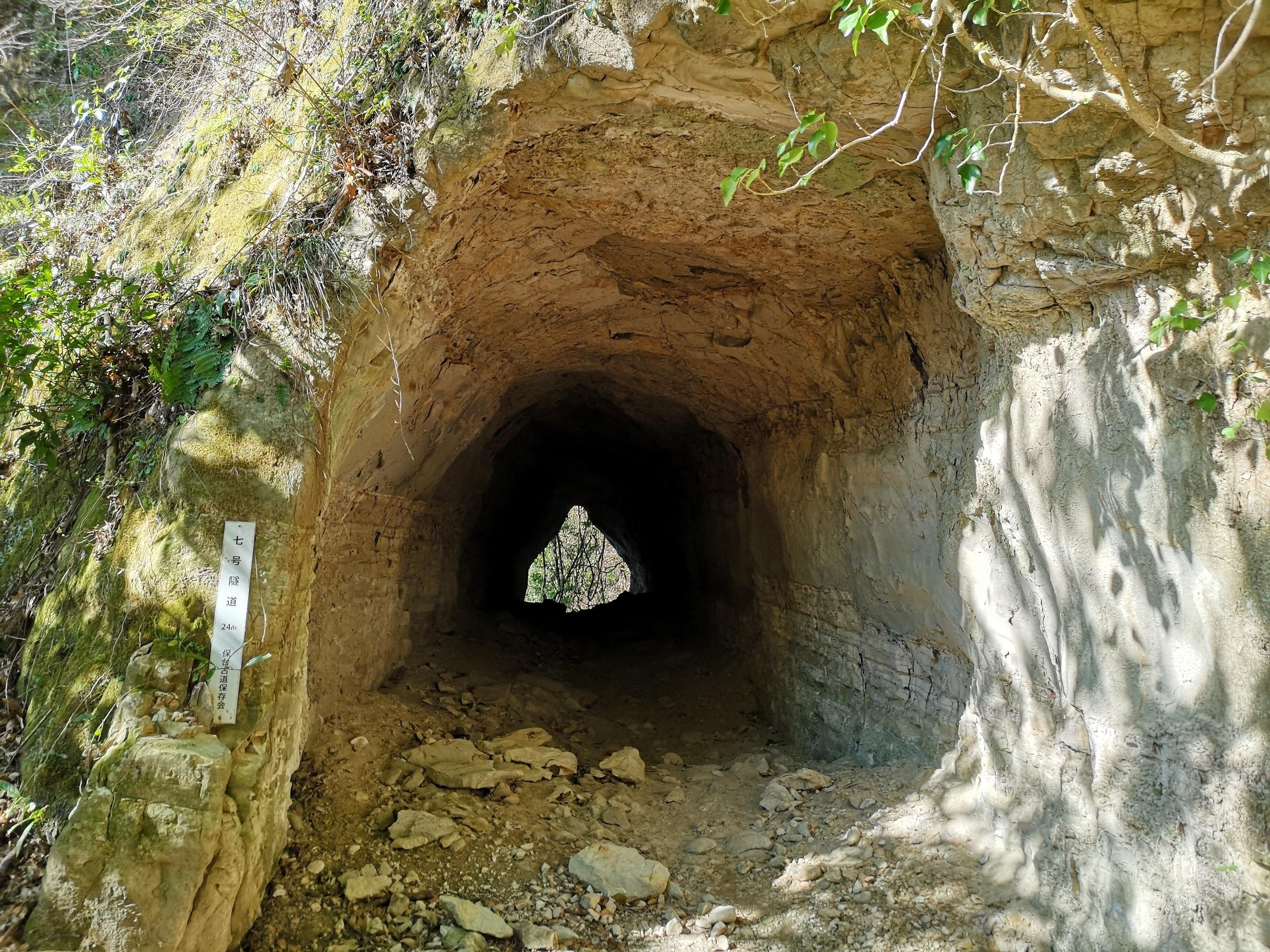
Tunnel #7 along an unexpected detour on my hike

I spotted by chance a trail to the right of the road and decided to check it out. It turned out to be quite a fascinating trail along the side of the mountain and passing through five eight tunnels – the last one had bats sleeping in it! Unfortunately the path did not reconnect with the road but followed an empty riverbed down the mountain. I had to give up and go back the way the I came. Once I was back on the road, I hurried along it to Seicho-ji temple (清澄寺) about 45 minutes away. There were great views of the Chiba hills from various points. At the temple I boarded a minibus – I was the only passenger – back to the train station.

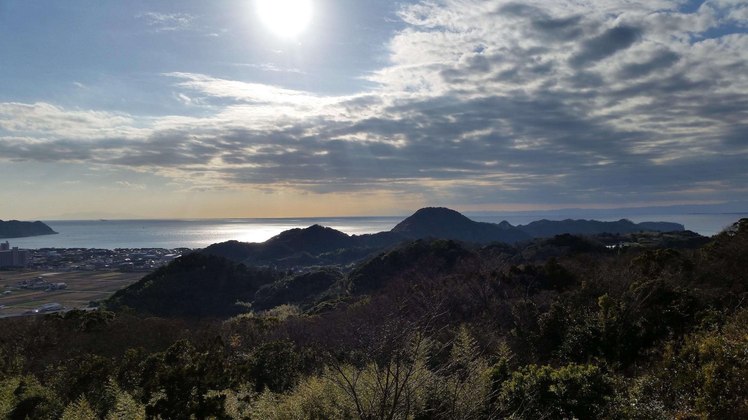
View of the hills of the Southern Boso Peninsula – endless hiking opportunities!

From the Archives: Tokyo Day Hikes March 2017

Mt Kogashi (583m), Utsunomiya City, Tochigi Prefecture, Saturday March 4

A rocky mountain at the edge of the Kanto plain

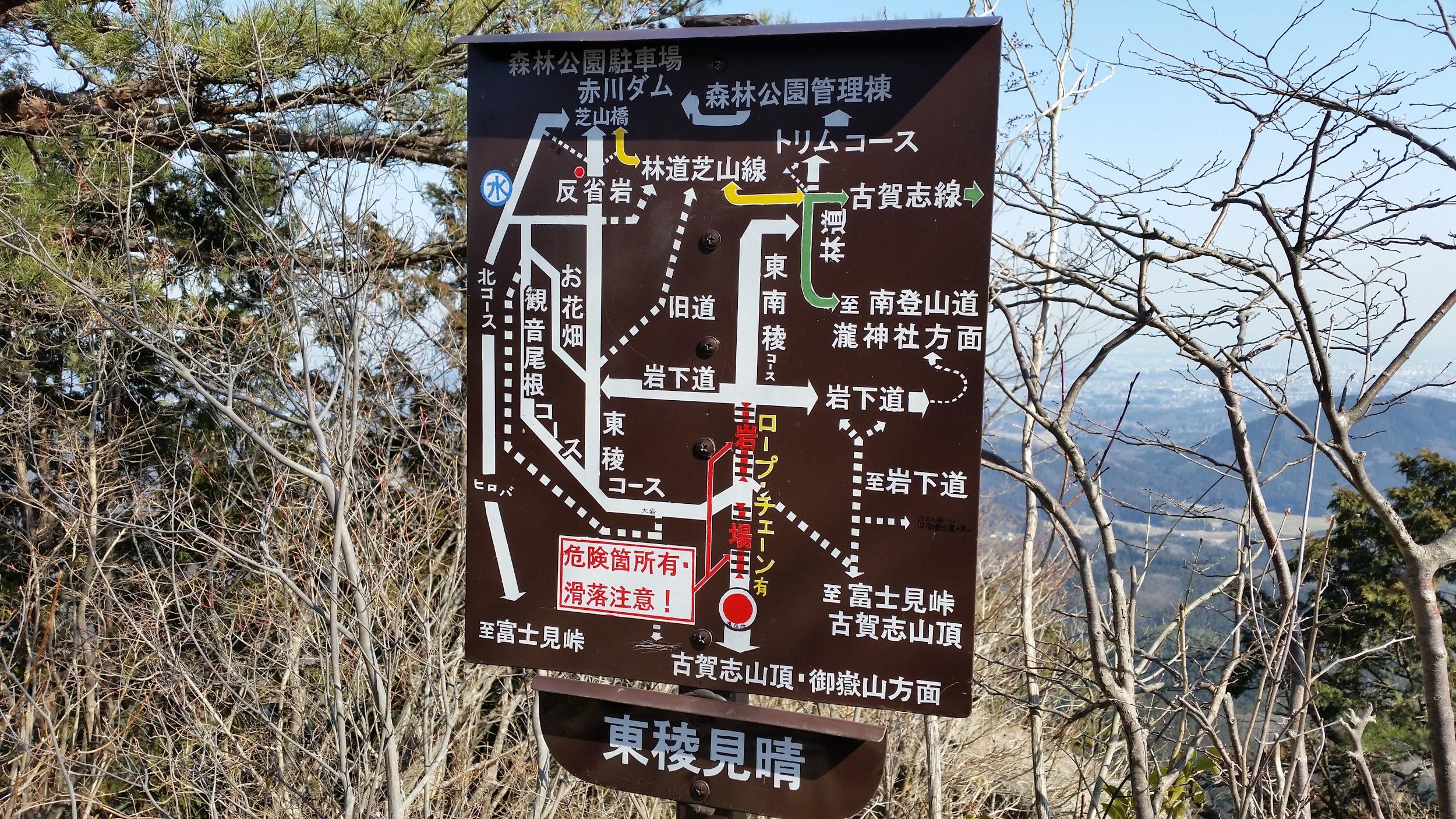
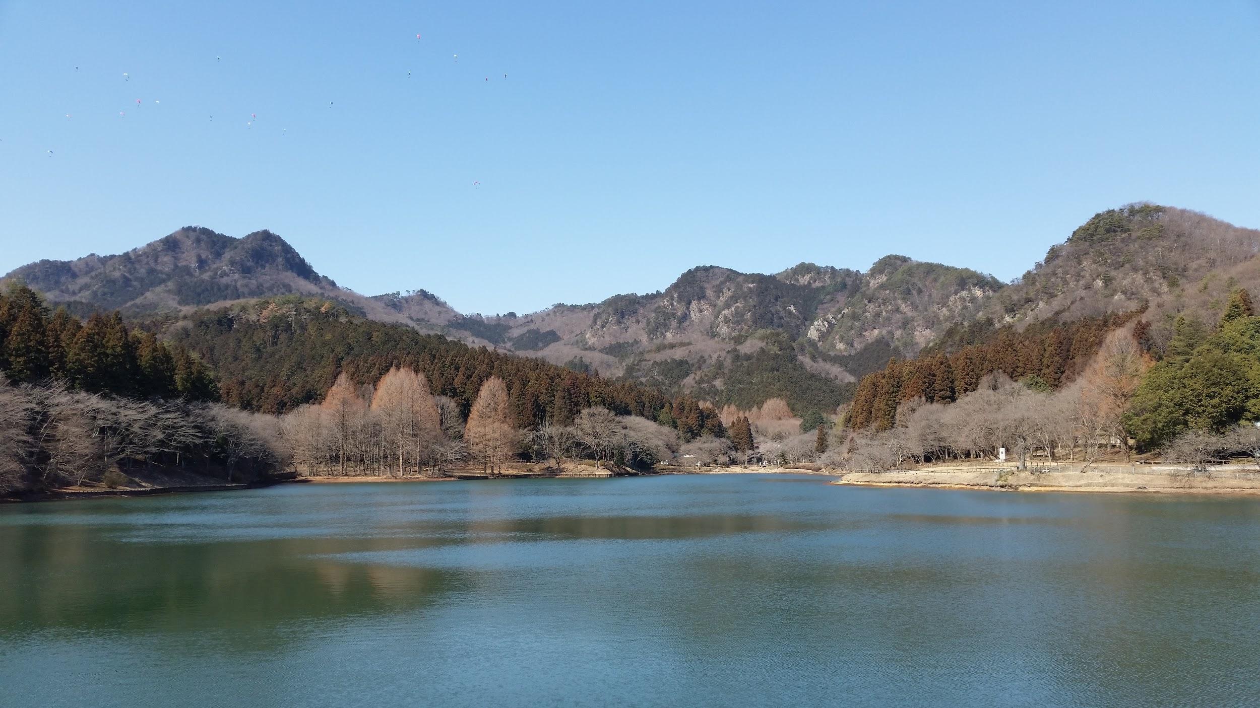
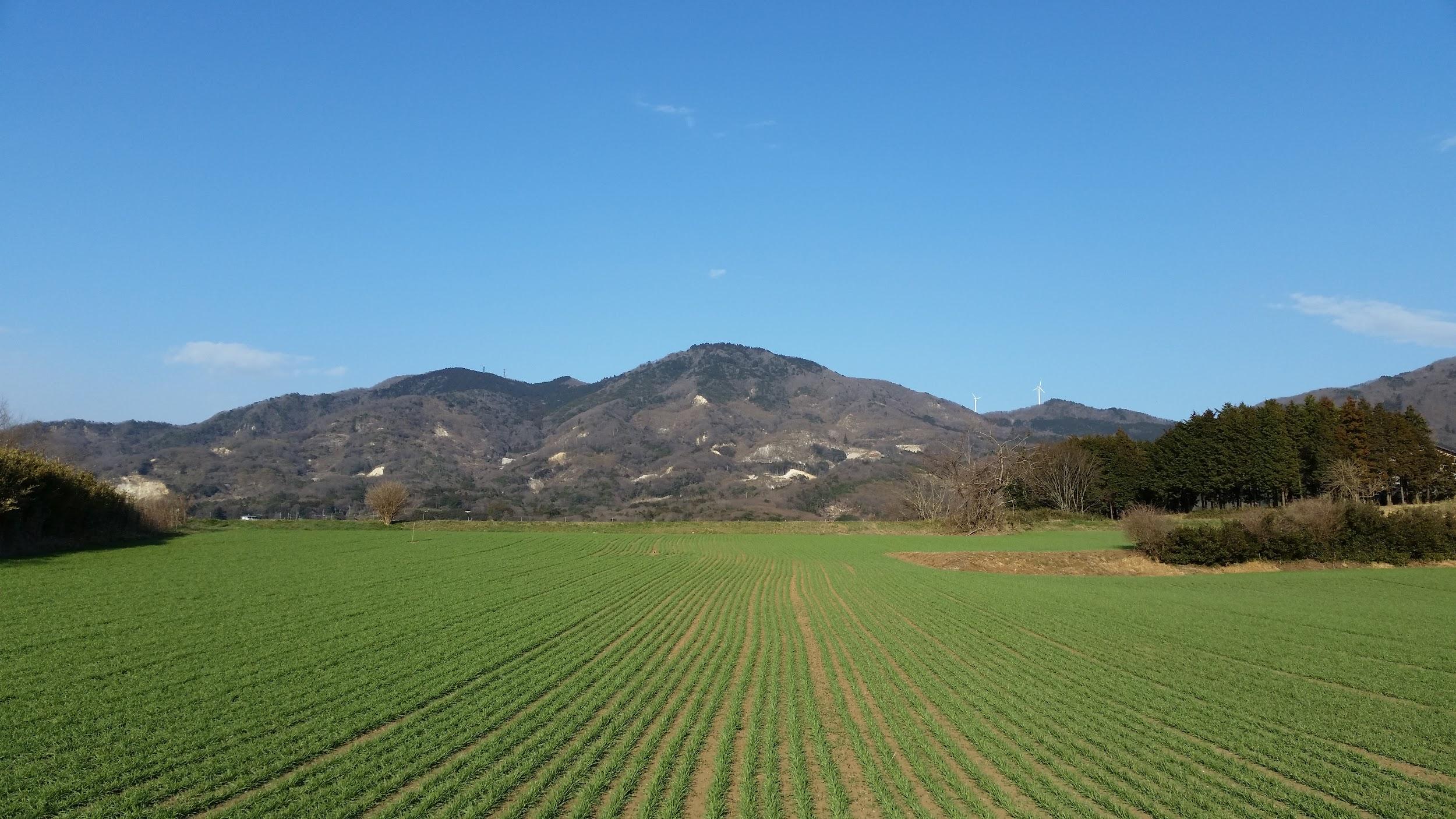
Continuing to explore Southern Tochigi, I moved again to the East but also somewhat to the North, to Kanuma station between Utsunomiya and Nikko. There, I boarded a bus to within walking distance of Mt Kogashi 古賀志山. The approach is quite nice since this low-lying rocky mountain cuts quite an impressive figure when seen from below. After walking on a road through fields and forests, I reached Akagawa dam and lake, where I got to see countless paragliders floating around in the sky above me.

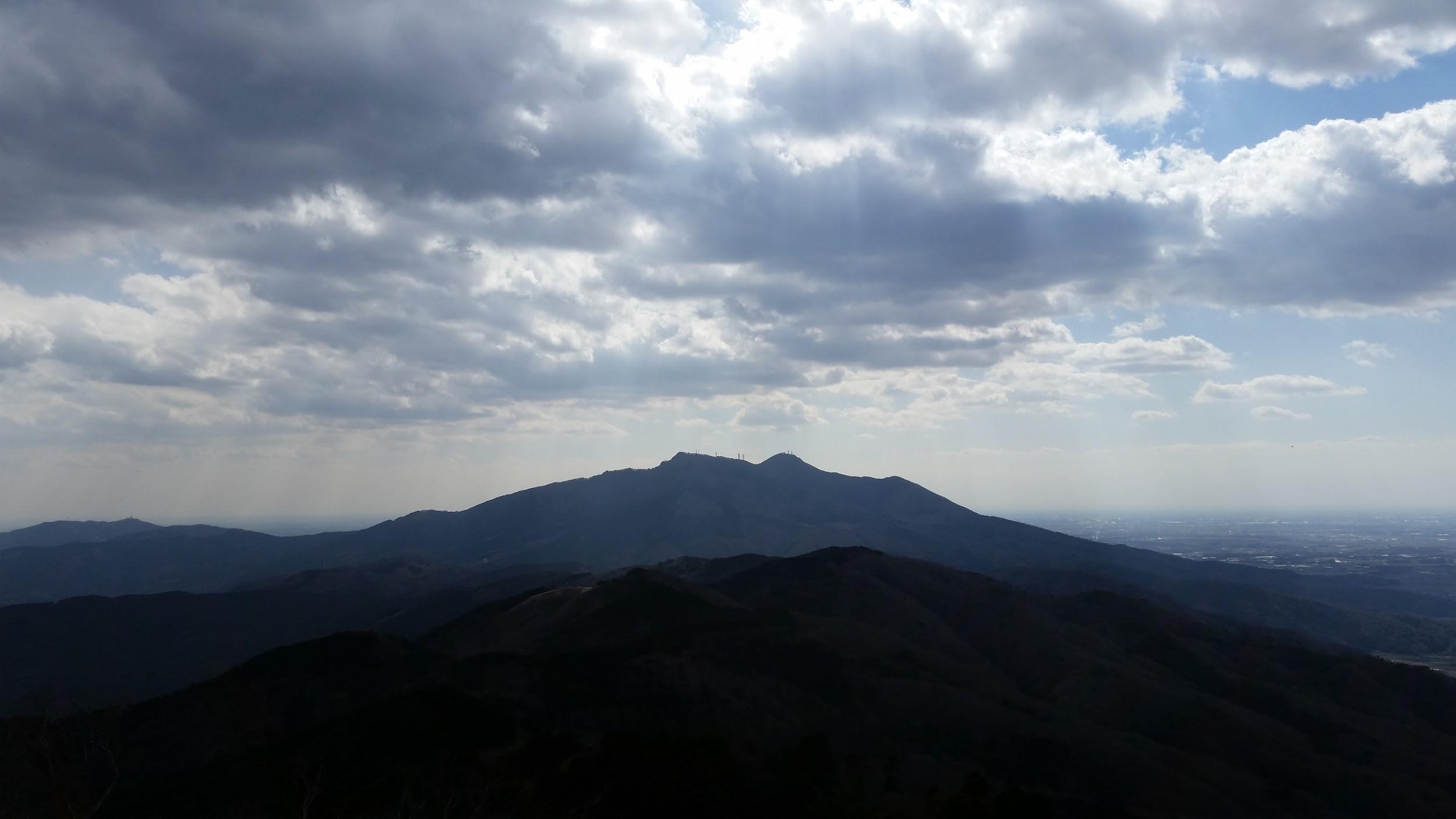
The mountains of Oku-Nikko

The start of the trail is at the end of the lake but at first it was a little hard to follow since it had been damaged in a recent typhoon. There are other paths up but I was keen to follow the one in my guidebook. After crossing a river, I followed a steep zigzagging path that quickly took me to the ridge. Before continuing to the right, I followed another small path to the left for a few minutes till I reached a lookout point. There I got good views of Akagawa lake as well as Mt Akagi and the mountains of Oku-Nikko.

Ready to jump off?

I continued up the steep, narrow ridge heading West. Eventually I reached another ridge and turned left (South) along it – the path to the right (North) leads to Mt Kuratake which I climbed last year. This part had some nice exposed sections with good views of the Oku-Nikko mountains, and some interesting rocky formations on Mt Kogashi itself. I finally reached the summit just after 2pm (no views). After a lunch break, I continued along the ridge, gradually losing altitude and occasionally getting good views on both sides. At one point I reached a rocky prominence that had to overcome with the help of some rope – nothing technical but surefootedness was vital. The views from the high point were totally worth the effort.

Decipher this sign!

I reached the final peak of the ridge, Mt Akaiwa (553m), just before 4pm. After that the path started to descend quickly. On the way I passed the launching point for the paragliders that I had seen in the morning. Going down I took a wrong turn at one point and had to retrace my steps. However I got some nice views from that mistake. After I got back to level ground, I continued walking along a road through fields till I reached an onsen and a bus stop just before sunset.


Mt Kaba (709m) & Mt Ashio (628m), Sakuragawa City, Ibaraki Prefecture, Saturday March 11

Mt Kaba rising above the fields

Mt Kaba 加波山 and Mt Ashio 足尾山 are two peaks located along the same ridge, North of Mt Tsukuba. I had a good look at them when I climbed Mt Nandai and Mt Wagakuni the month before. I opted to go by car this time, and I parked close to the colorful Kabasan Shrine. The climb to the top was uneventful, with occasional glimpses of Mt Tsukuba to my right.

Mt Tsukuba in the shade

The summit of Mt Kaba is occupied by a shrine complex. The view from the highest point is obstructed by trees which may not be cut down, or so I was told by another hiker. The clouds had rolled in temporarily and it was cold so I didn’t linger. After some up and down, and passing a lone wind turbine, I arrived at the top of Mt Ashio, with better views to the South – Mt Tsukuba – and to the West – the Kanto plain.

The eerie top of Mt Kaba

After some lunch I continued to the next summit, Mt Kinoko (mushroom mountain), passing on the way a paragliding spot with actual paragliders preparing to take off. Here something interesting happened: there was a cat, and this cat followed me once I started going down the mountain. It had the traces of a collar around its neck, so I assumed that its owner had simply abandoned it (there is a road that runs along the ridge). Halfway down, the cat was falling behind so I waited occasionally, and fed it some cheese and water.

View of the Kanto plain

As I was approaching the bottom of the mountain I was starting to wonder what I would do if it followed me all the way to the car. However after we entered the village, the cat went after the first person I passed – problem solved! It was a short walk through fields back to the car with good views of the mountains I had just climbed in the late afternoon sun.

Cat that befriended me (?) on the top of the mountain


Mt Ono (723m), Yamakita Town, Kanagawa Prefecture, Sunday March 19

Tanzawa range and Tanzawa lake from the top of Mt Ono

Mt Ono 大野山 is a bald grassy rounded mountain sitting at the edge of the Western part of the Tanzawa mountains. It’s not a very long climb but the views from the top of Mt Fuji, the surrounding mountains and Tanzawa lake are fantastic. Mt Fuji is already visible shortly after leaving Yaga station on the Gotemba line. This is a popular climb but luckily there is lots of space at the top. At this time of the year, I could also see snow on top of the highest parts of the Tanzawa range.

Mt Fuji can be seen from several viewpoints during the hike

I decided to flee the summit and the hordes of hikers shortly after arriving, and headed North along a peaceful path through beautiful forest. My plan was to extend the hike by heading towards Tanzawa lake. Eventually I reached a T junction. Left was a path that led down towards the lake but first, I decided to explore the path going up a ridge to the right. At first the path was quite good, if steep. However it soon got difficult to follow because of tall bamboo grass. I finally reached an open space with some views, and after eating some lunch, I called it quits and retraced my steps.

Walking down to Tanzawa lake

I had some good views of Tanzawa lake while descending. After reaching the lake and its dam, I was lucky to find a hotel there that allowed hot spring entry for day trippers. After a nice refreshing bath, I caught the bus back to Matsuda station. An exciting thing happened then – a bird of prey (maybe a black kite or “tonbi”) made a very low swoop, and nearly collided with the bus, giving all the passengers, myself included, quite a scare!

From the Archives: Tokyo Day Hikes February 2017

Mt Maru (960m) & Mt Dodaira (876m), Tokigawa Town, Saitama Prefecture, Saturday February 4

Mt Dodaira – the antenna at the top is an NHK relay

I had already climbed both of these peaks separately in the past. Mt Maru 丸山 (climbed twice) was a short and easy loop hike from Ashigakubo station on the Seibu Chichibu line, and Mt Dodaira 堂平山 was a longer hike along a horseshoe shaped ridge in Eastern Chichibu (bus access from Ogawa station). This was a hike of my own creation aiming at linking the two mountains, as well as and explore some new ridgeline trails. I could see from my maps that it involved some road walking but I didn’t mind since the area was easy to reach for me, I knew that both peaks have excellent views.

The start of the hike involved getting a bus from the Tokigawa town hall located between Ogawa and Ogose towns, and reachable from the Ogose station on the Tobu line. I got off at the last stop Hinatane, near a tiny hamlet on the side of the mountain. First I went on a short round trip to closeby Mt Arazaku (409m). There was no trail on the map but it was marked on a guidance board near the bus stop. Mostly level walking through forest, it made a good warm up even though the top was without view. After quickly retracing my steps, I started climbing in the opposite direction along a forest road up to a pass, where I turned right to follow the ridge to the North, this time along an asphalt road, half iced over.

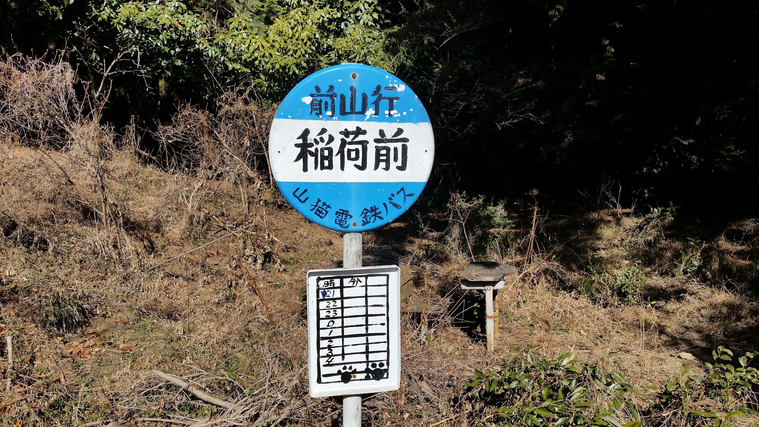
Cute fake bus stop for the “mountain cat electrical railway bus”

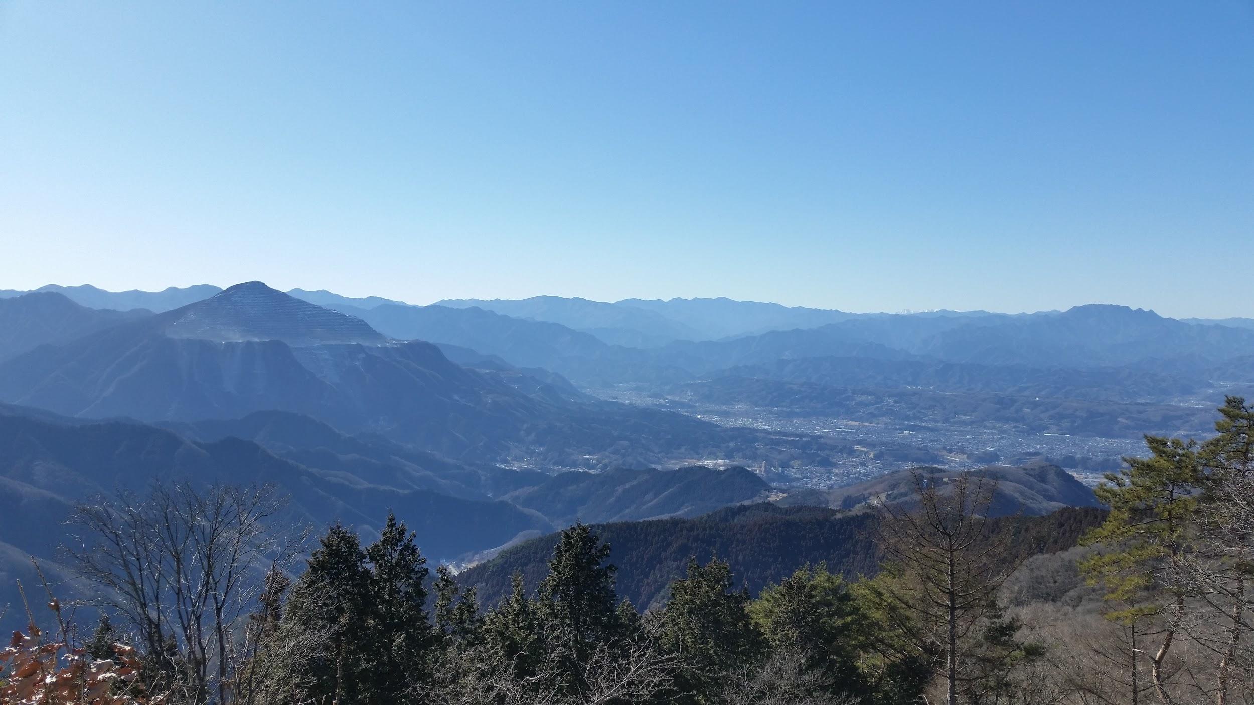
Soon I reached another pass called Kabasaka toge (818m). There were some people here since there is a parking lot. There were good views of Mt Dodaira opposite. Here the trail left the road and followed a narrow ridge to another pass. Mt Maru was about a 45 minute round trip to the left and I decided to go for it since the weather was good. There is an observation tower at the top and the previous times the visibility hadn’t been great. This time, visibility was fantastic, and this is probably one of the best views one can get of Mt Buko and of Chichibu city. Mt Asama, Mt Akagi and Mt Haruna were clearly visible.

View of Mt Buko and Chichibu city from the top of Mt Maru

After a quick lunch and a short chat with other hikers, I made my way back to the intersection and went right towards Mt Dodaira. There was another section of road walking. You can actually walk on the road all the way to the top but halfway there is a hiking trail that goes up a ridge to the left. The rounded level top is also accessible by car and there is an observatory for night sky gazing. It is also a popular place for paragliding in the warmer months.

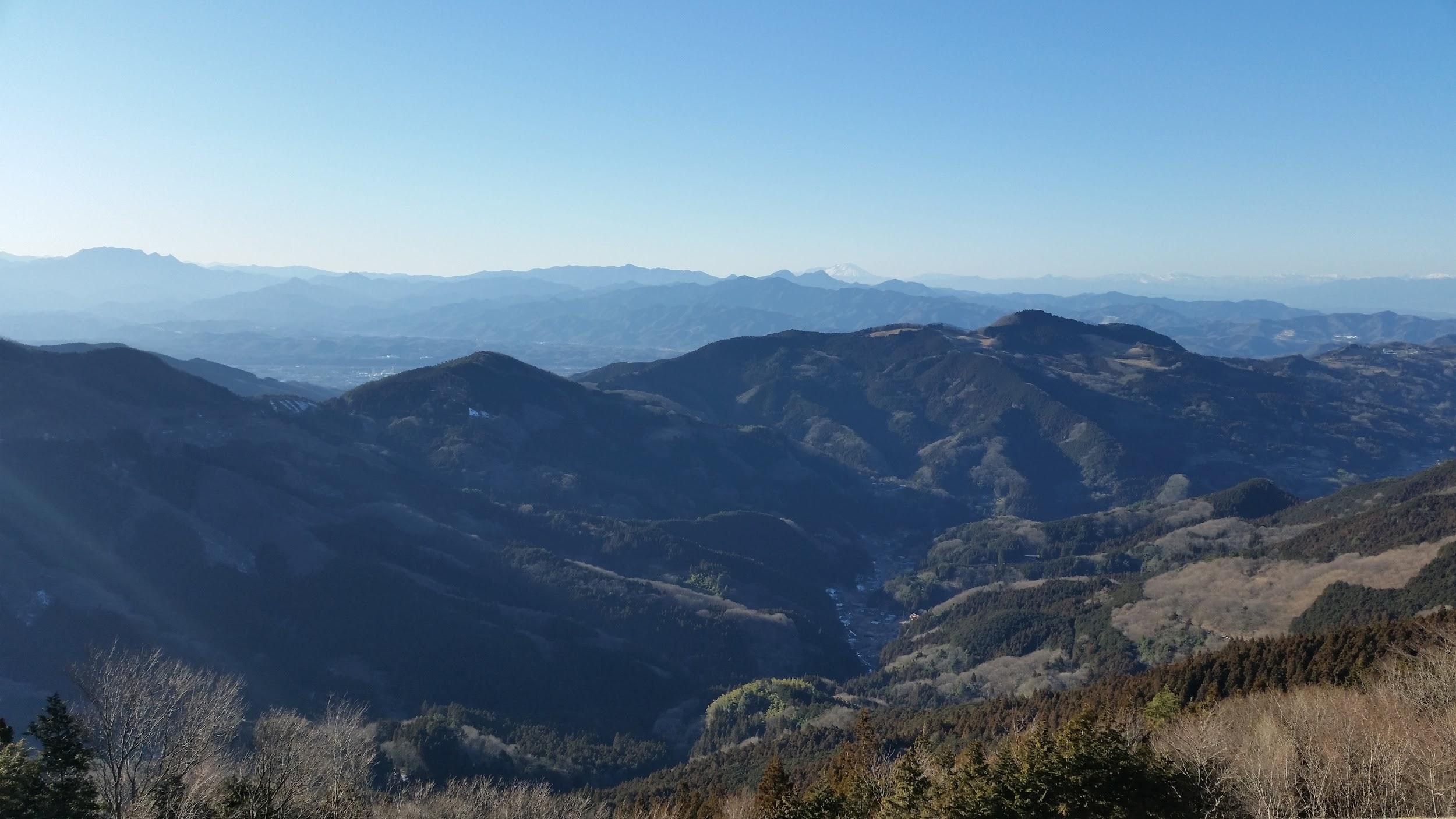
View from Mt Dodaira – It’s a 500m drop down to the bottom of the valley

The views from the summit of Dodaira were just as good as from Mt Maru. You could also gaze down into the deep valley of East Chichibu (North) and the take in the vast expanse of the Kanto plain to the East. Unfortunately it was already past 3h30, and it was nearly two hours to get down to a bus stop so I couldn’t linger much. I followed a very nice path called the Tokigawa trekking trail, some portions of which followed asphalt and forest roads. I finally emerged at the scenic Jikoji Temple, past 5 pm, and too dark to get any good photos, so I hurried down to the bus stop, in the valley opposite my morning starting point. Total hiking time was nearly 7 hours.

Mt Atago (305), Mt Nandai (553m) & Mt Wagakuni (518m), Kasama City, Ibaraki Prefecture, Sunday February 12

View of Mt Nandai, the midway point of the hike

This was my first Ibaraki hike that wasn’t on Mt Tsukuba. It’s a fairly long hike (6 hours) connecting three mountains, starting with Mt Atago 愛宕山 Southeast near Iwama station on the Joban line, passing by Mt Nandai 難台山, and finishing at Mt Wagakuni 吾国山 Northwest near Fukuhara station on the Mito line. My start time got pushed back due to delays on the Joban line. I also lost some time around Mt Nandai because of unexpected wet snow on the trail – my boots got completely wet since I didn’t bring my gaiters.

Observation tower along the trail

The first part is fairly straightforward. The path zigzags up the mountain and ends at Atago Shrine with good views to the East – Ibaraki is quite flat outside the mountainous parts! From the top there is a short walk along an asphalt road to reach the start of the trail for Mt Nandai. The trail through woods was level at first but soon it started to rise gradually, offering excellent views of Mt Tsukuba, Mt Kaba and Mt Hokyo to the West. There are wooden observation towers, rocky formations and minor peaks along the trail.

View of Mt Tsukuba

When I reached the top, mostly enclosed by trees but with some views to the West, I was ready for a short break and lunch. Afterwards the path descended gradually, with views of the Oku-Nikko mountains at one point, before crossing a road and bringing me to the final ascent for Mt Wagakuni. There were good views to the East on the way up – I could see most of the trail that I had hiked during the day. More excellent views towards the East and the North greeted me at the top, where there was a small shrine, although it was a bit lonely and cold there. I made my way down the mountain as quickly as I could in order to reach the train station just around sunset.

View to the North from the top of Mt Wagakuni

Mt Ohira (341m) & Mt Teruishi (419m), Tochigi City, Tochigi Prefecture, Saturday February 25

The hike follows most of this ridge

I so enjoyed my first hike in Southern Tochigi that I decided to go again as soon as possible, this time a little more to the East, one station past Tochigi City. The hike up Mt Ohira 大平山 starts from Ohirashita Station meaning the station under Ohira. From there it’s a fairly easy walk to the top and Ohirasan shrine (also accessible by road), a sort of deja-vu from my hike 2 weeks ago. I got to see some nice views of the Kanto plain, and also some early plum blossoms.

View of the Oku-Nikko mountains to the North

From there it was a fairly easy hike to the next summit, Mt Terui 晃石山. Apparently the whole area is inside a prefectural national park, not to be confused with a national park. From the top of Mt Terui, there were excellent views of the Oku-Nikko mountains. The visibility was much better than the previous month when I hiked nearby Mt Daisho. After that I gradually made my way down through to plain level. The surrounding nature was quite wild and it was hard to believe that I was so close to civilisation.

Hiking down Mt Teruishi

While I was walking to the station (more plum blossoms on the way), I couldn’t resist going up nearby Mt Iwafune, meaning “rock ship”. Although the way up was along a road, the top part was quite interesting. First of all I was able to check out a temple called Koshosji. Next, there were a couple of good viewpoints to the North and the South. Unfortunately, I couldn’t find a summit marker for the highest point. I ended the hike at the very small Iwafune station on the Ryomo line.

Hello Spring!