Okutama Old Road (Highest Point 619m), Okutama Town, Tokyo Prefecture, Sunday, October 5, 2025

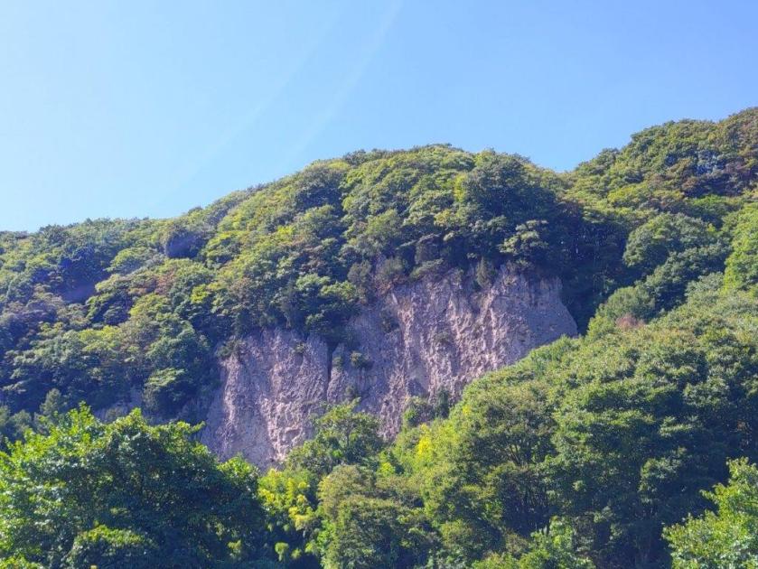
I had already walked the Okutama Old Road, also known as the Okutama Historical Road, twice before; however, it had been 8 years since my last visit, so I decided to hike it again to refresh my memory of this interesting trail. I would start from Okutama Lake and walk mostly downhill to Okutama station; by doing it in this direction, I could tackle the steeper sections near the lake first, and also get better views of the Tama river valley.

Hiking in the Chichibu-Tama-Kai National Park

秩父多摩甲斐国立公園

Start of the Hiking Trail (left) Short Uphill Section (right)

Level Section (left) Near the Highest Section (right)

To get to the start of the hike, I would ride the green car on the Ome line from Shinjuku, and then change to a regular car on the Okutama line at Ome station; from Okutama station, it was a short bus ride to the lake. The weather was supposed to be mostly cloudy without rain and temperatures in the low twenties, ideal for some light hiking. I was looking forward to a relaxing, and hopefully spider-free, hike in the mountains west of Tokyo.

Trail before the Rest Spot (left) Road after the Rest Spot (right)

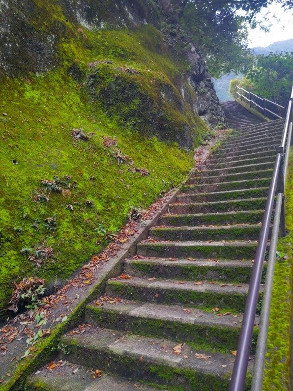
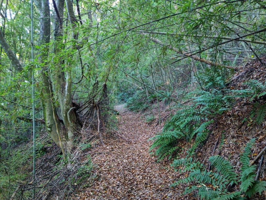
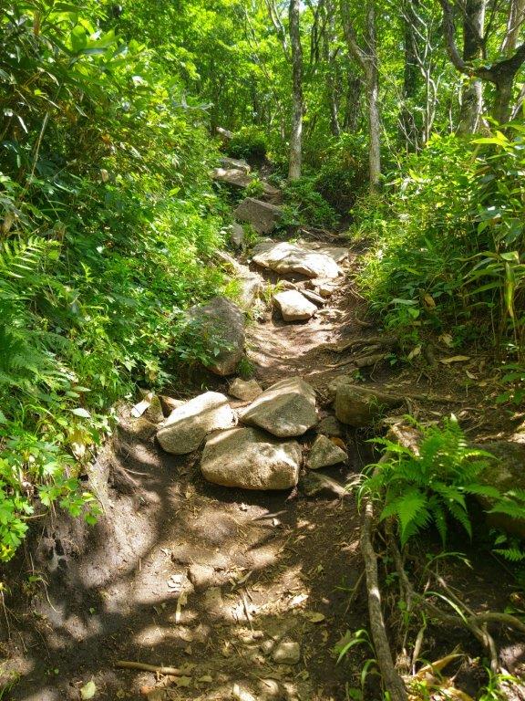
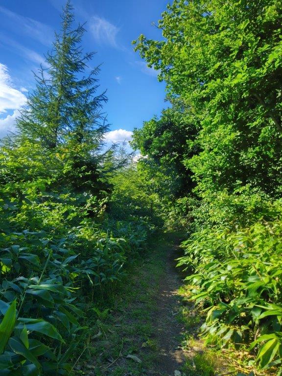
Steps (left) and Forest Section (right) near the End of the Hike

I was delighted to ride a mostly empty bus to Okutama lake, possibly because in this season most hikers prefer to head to higher destinations. After a quick lunch at a picnic table with a view of Okutama Lake and Oguchi Dam, I set off at 12h30. Soon after, I reached the entrance of the “Old Road” (むかし道 mukashi michi), hidden behind the Mizune Parking lot. After carefully crossing the busy Ome-Kaido Avenue, I headed up a steep paved road.

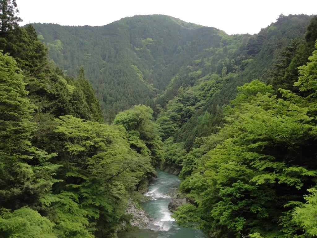
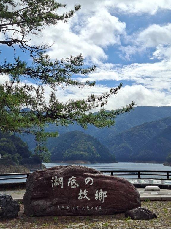
View of Okutama Lake and Ogouchi Dam

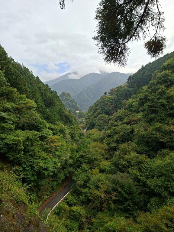
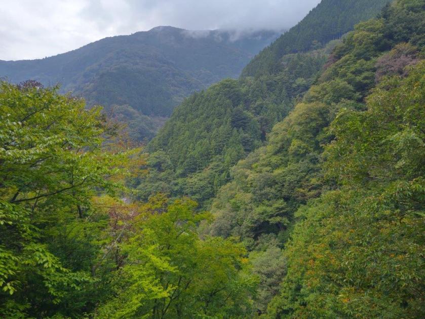
The Okutama mountains from the “Old Road” (2012 Photo)

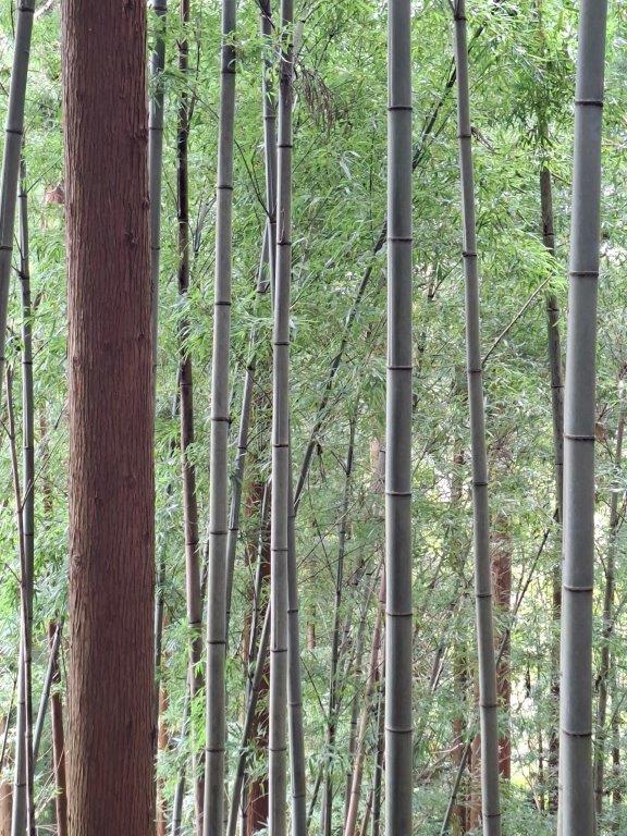
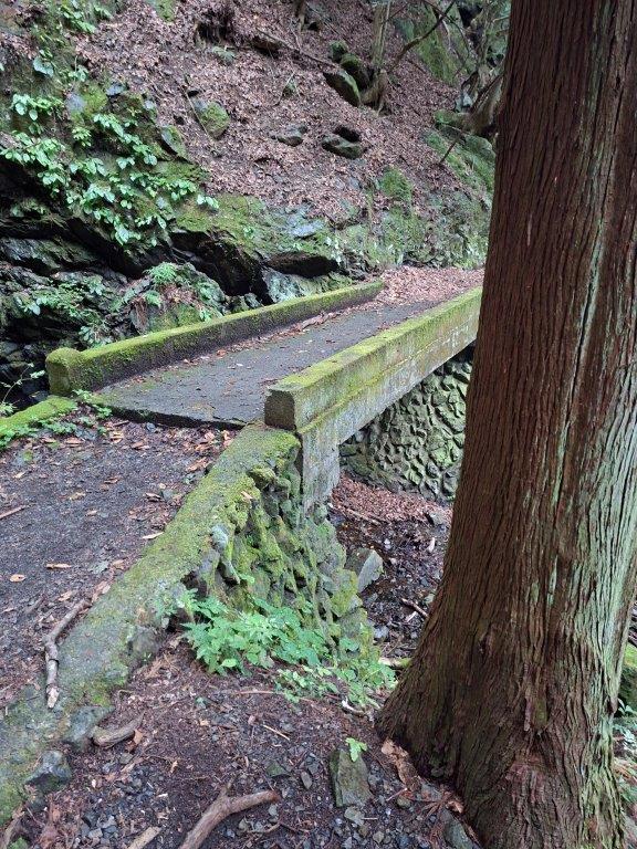
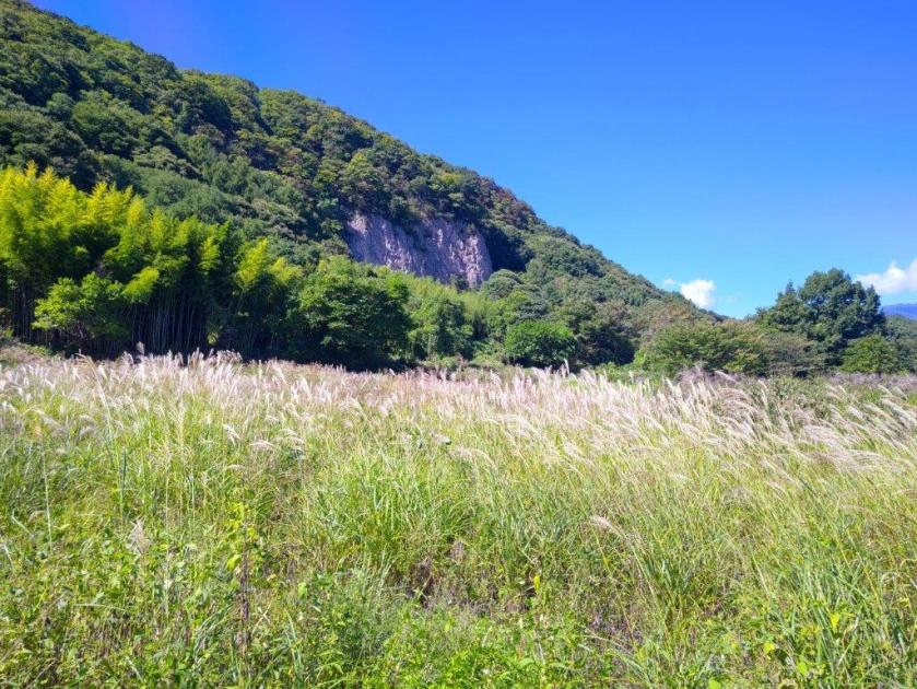
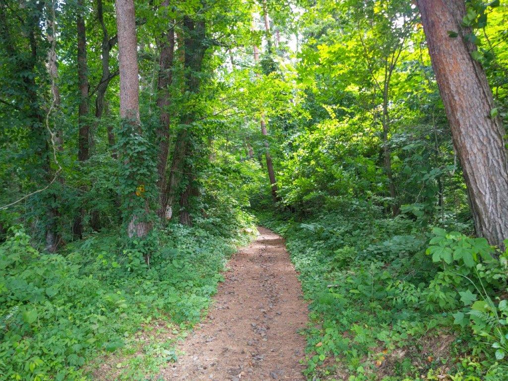
I was startled to feel some raindrops as I reached a fork; I opted for the shorter, right branch, in case it turned into a downpour, which happened in 2017. Fortunately it soon let up, and after passing a bamboo grove and a view of Okutama lake on the right side, I arrived at the start of a hiking trail; this is also where it meets up with the longer, left branch. After a short uphill section, the trail descended steeply through thick forest, but became level after crossing a stream on a moss-covered concrete bridge.

View of the Tama River from the “Old Road” (2012 Photo)

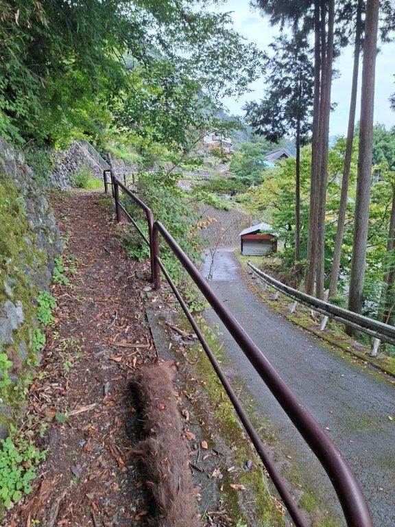
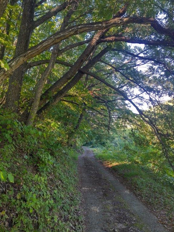
Paved Part of the Okutama Old Road

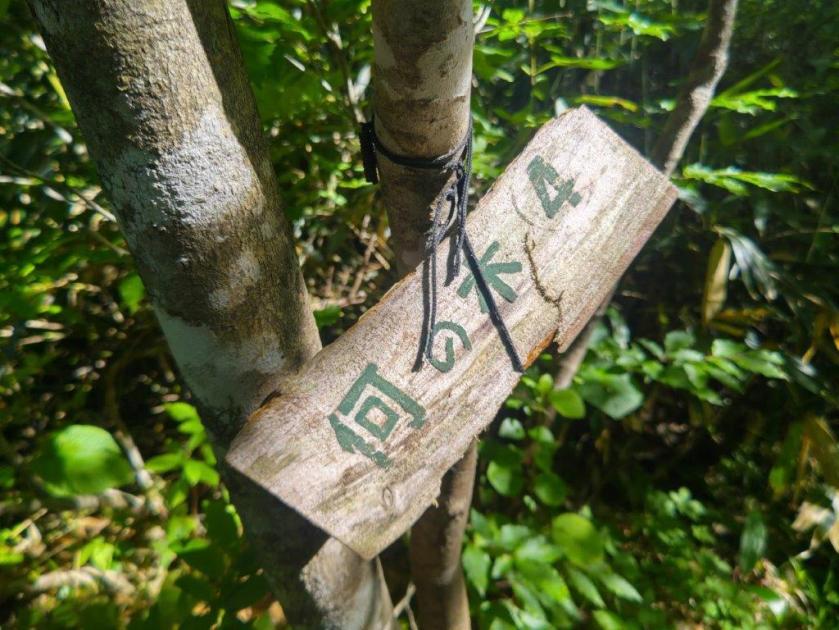
I had forgotten the first part of the trail was so narrow, hugging a steep mountainside; however, a metal railing on the valley side ensured it could be walked safely. After some ascending, I reached a metal cross at the highest point of today’s hike, also the turnoff for Mt Mutsuishi; beyond this point, the trail descended into the valley; on the way down, I had another glimpse of the Ogouchi dam through a gap in the vegetation.

Some Sun on a Cloudy Day

Shidakura Bridge across Tama River

I was shocked how close the dam still was after one hour of hiking; however from now I’d be following the Tama river, moving in a mostly straight line towards my destination. I eventually reached the end of the trail near a rest spot with picnic benches and momiji trees; I now found myself walking along a paved road, the river at times visible through the tree branches. At 2h30, I passed Shidakura bridge (しだくら橋), the second of two suspended footbridges; I walked to the halfway point although it’s not part of the Old Road.

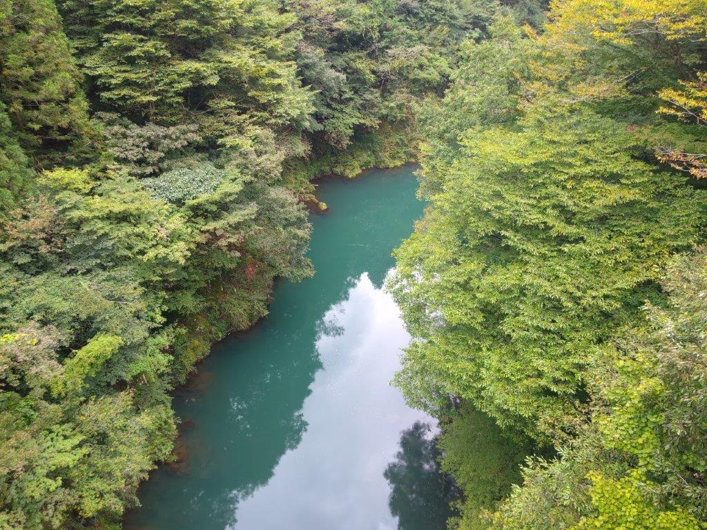
View of the Tama River from Shidakura Bridge

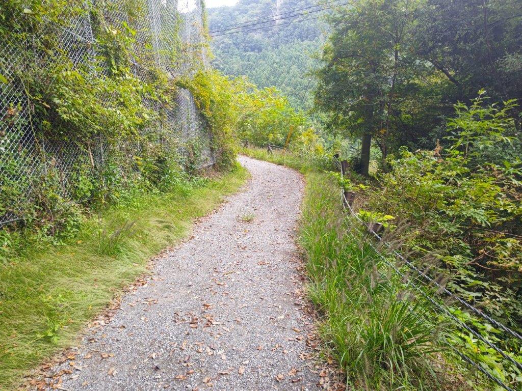
Walking on a Gravel Road

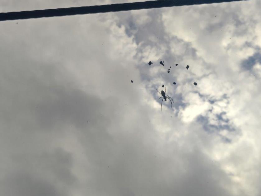
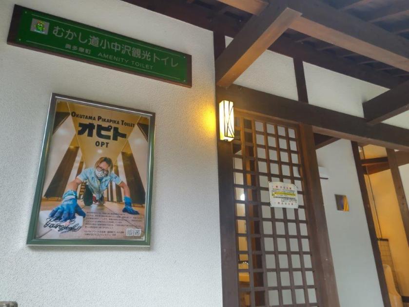
I enjoyed views of the Tama River looking down from the bridge; I also had views of spiders when looking up through the steel wires supporting the bridge. At 3pm, I passed by a modern, clean bathroom inside a traditional building, courtesy of OPT or Okutama Pikapika Toilet (“pikapika” means “with a sparkle”). In total, I saw three such toilet buildings, each as sparkling clean as the other; apparently they are also in charge of the one next to Okutama station.

Modern Bathroom inside a Traditional Building

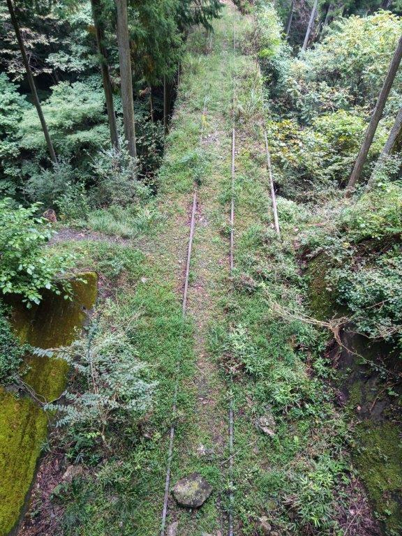
Traces of the Old Railway Line

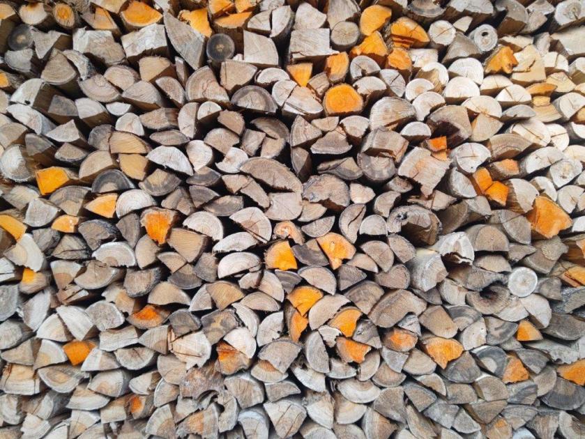
Past a house with a huge firewood stack, I saw remains of the railway that used to run through the valley; it was abandoned 80 years ago after the completion of the present-day road. At a bend in the road, a signpost guided me onto a footpath on the right side; I followed it through tall cedars, down a small valley, across a narrow bridge, and around a rocky outcrop, after which I found myself walking on a stone-paved path.

Footpath near the End of the Hike

Stone-paved Section Near the End of the “Old Road” (2012 photo)

I stepped up the pace as the light was starting to fade quickly on this cloudy day. Shortly after crossing another disused railway section half-hidden by grass, I arrived back at the Ome-Kaido Avenue at 4h30, also the trailhead of the Okutama Old Road. It took another 5 minutes to get to Okutama Station, from where it was a ninety-minute ride back to Shinjuku.

Watch a Video of the Old Okutama Road Hike

See More Pictures of the Hike

The Asama-Yatsugatake Panorama Trail Part 2 (highest point 830m), Komoro City, Nagano Prefecture, Saturday, September 27, 2025

I had been looking forward to exploring more of the Asama-Yatsugatake Panorama Trail since my hike there nearly one year ago. Originally, I had wanted to go later in Autumn, to enjoy cooler and clearer weather; however, I realised that if I wanted to see the scenery of golden rice fields, I needed to get there before the end of the harvest, roughly the end of September. I had recently acquired a lightweight foldable umbrella that doubled as a parasol, to protect myself from the sun on long road sections, so I felt well equipped to return earlier than planned.

Above the Chikuma River (left) Through a Bamboo Grove (right)

Up a Country Lane (left) In the Shade of Trees (right)

This time, I’d head south from Komoro station, making a wide circle combining the Chikumagahara and Mimakigahara routes, and ending at Aguri no Yu like last time. I had ample time to complete this clockwise loop through the Nagano countryside; however, I already knew that the many views along this panoramic trail would delay me, especially since the weather was supposed to be clear and sunny all day, a perfect Autumn weather according to the weather forecast.  

Chikuma River from Modori Bridge

Mt Asama from Modori Bridge

It felt pleasantly cool as I stepped off the train at Komoro station a little after 1030. After picking up some supplies at a nearby convenience store, I ducked into a tunnel under the Shinano railway line and headed down a road into the Chikuma River valley. At a bend in the road, I turned right onto a track partially hidden by vegetation, following a sign for the Asama-Yatsugatake Panorama Trail (浅間・八ヶ岳パノラマトレイル). At the bottom of a steep staircase, I passed an open-air exhibition of an old water wheel (“suisha“), used for generating electricity from 1919 to 1995.

Mt Asama from Kubo Village

Cliffs above the Chikuma River

I briefly inspected this curious relic from the past, and then turned left onto a small paved road, past Nishiura dam, a modern replacement for the water wheel. I was walking with the Chikuma river on my right, and harvested fields on my left. I wondered if I had missed the harvest completely but marvelled at the interesting shape of the rice bundles, resembling tiny straw huts. At 1130, I crossed the Modori Bridge (もどり橋), from where I had a sweeping view of the entire Asama mountain range, almost entirely clear of clouds. I then headed up a steep road and at the top turned left onto a main road which I left almost immediately for a dirt road alongside a bamboo grove.

Country Lane leading to the Base of the Cliffs

View East towards Karuizawa

I was glad to be walking under the shade of trees, above the cliffs on the south bank of the Chikuma river, as the sun was getting hotter and hotter. I had reached another viewpoint of Mt Asama, just as the noon chime echoed throughout the area. Closer by, I could see the impressive bluffs on the north bank of the river. After passing through Kubo village (久保集落), the path headed uphill steeply and reentered the forest.

Hidden Plateau above Kubo Village

Switchback Path up the bluff

I soon emerged into a kind of hidden plateau at the base of some bluffs. I made a detour to get a closer look, and also happened to get a good view of Karuizawa to the east. I knew I’d have to get above these cliffs but for now the trail headed lazily southwards; around this point I nearly stepped on a snake sunbathing on the hot road. I eventually reached Iwane (岩根) and here the path turned sharply right and uphill again, through a dark bamboo forest.

Closeup Look at the Bluff above Iwane

Yatsugake from Mimaki Plateau

I recoiled in fear as I spotted the webs of the Jorogumo spider strung between the bamboo, its yellow and black owners hanging lazily in the air at head height above the path. Sometimes ducking and sometimes clearing a way with a stick, I quickly reached a switchback path climbing through mixed forest, thankfully free of spiders. One bend took me directly to the base of a huge porous rock face, rising out of the forest. At 1pm, I exited the forest into the sunlit Mimaki Plateau (御牧ヶ原 mimakigahara). Almost immediately I came upon a harvest in progress on the left side.

Mt Asama from Mimaki Plateau

Blue Asama with Yellow and Green Fields

I was delighted to see the rice being harvested, an even rarer sight than the golden rice fields. I continued on my way, now walking between small blue ponds and yellow rice stalks; the outline of Yatsugatake, mostly clear of clouds, was visible against the sun on the south side. After a short descent, I reached Himamu-ike Pond (干間無池), which I had also visited on last year’s hike. Here I left the Chikuma River Trail (千曲川コース) and joined the Mimaki Plateau Trail (御牧ヶ原コース), first heading west and then south through farmed countryside dotted with small blue ponds.

Clouds Reflected in one of the Ponds of Mimaki Plateau

Golden Rice Fields and Blue Autumn Sky

Along the way, I had some superb views of Mt Asama, with an ever-changing scenery of already harvested and yet to be harvested fields, as well as blue rounded ponds, in the foreground. At 2pm, I arrived at the highest point of the hike, a mostly level area above the Prefecture Agricultural University; oddly enough, it was also the location of a driving school. It was also the southernmost point of the hike, and I had another view of Yatsugatake southwards between the hills, as well as the Chichibu mountains to the east. I sat in the grass in the shade of a couple of conifers for a late lunch with a view. After half an hour, I resumed my hike, now heading northwards and downhill, and soon passed another bucolic rice harvest scene.

Harvested Rice Drying on Racks

Drying Rice with Mt Asama in the background

I spent a few minutes observing this seasonal human activity taking place along a narrow valley protected by tall pines on the far side. From my higher vantage point, I could see the various stages of the harvest: the cutting, the bundling and finally drying on racks. I continued on my way and after passing through a tunnel under the Chikuma Viewline, turned left up a slope and soon reached another viewpoint near the crest of a small hill called “viewpoint hill” (展望の丘). To the north was Mt Asama again, the features of its various peaks clearly visible on this fine day.

Lunch Spot under a Couple of Conifers

Lily-covered Maki Pond

For the first time of the day, I had a wide view on the west side: I could see the gentle ridgelines of Northern Yatsugatake, as well as the lower mountains of central Nagano; however the North Alps were hidden in the clouds. It was now 3pm and I had to quicken the pace to stay on schedule. I headed down the other side of the hill, and then turned right onto a bigger road which I followed for a while, down into a small forested river valley dividing the plateau into two halves. After a shorter climb up the other side, I merged with last year’s hike, although from the opposite direction.

Rice Harvest Scene on the Asama-Yatsugatake Panorama Trail

Freshly Cut Rice (left) and Drying Rice on Racks (right)

After walking under some dizzyingly tall larches, needles still green in this season, I turned right onto a trail heading downhill towards the Chikuma River Valley, leaving behind the Mimaki Plateau Trail, as well as last year’s route. It ended at a road at a point somewhat below my final destination; however, I noticed another path on the right, running through the woods and parallel to the road. I still had a little way to go so I rushed up it and soon passed a sign for the Asama-Yatsugatake Panorama Trail, meaning I was headed in the right direction.

View West towards Northern Yatsugatake

Mt Asama from Viewpoint Hill

I had one more view of the highest peaks of Mt Asama through a gap in the trees on the left side. Soon after, I emerged onto a road where I turned left, and after a few more minutes, arrived at Aguri no Yu just after 4pm. After a refreshing bath with a view of Mt Asama, I called a taxi for the ten-minute ride back to Komori station. It was a short ride on the Koumi line to Saku-daira station where I hopped on the shinkansen for the one-hour ride back to Tokyo.

Green Fields with Mt Asama in the background

View of Mt Asama from near the end of the Hike

This second hike along the Asama-Yatsugatake Panorama Trail took five hours, slightly shorter than last year. Although it had less cultural highlights, the views were better. I was also lucky with my timing that allowed me to catch the rice harvest in progress, not to mention the superb weather. Amazingly I saw no other hikers the whole day, maybe because everyone was hiking on Mt Asama and Yatsugatake, and other high-altitude mountains. For now, I’ve completed most of this trail but in the future I’d like to explore more Long Trails in Japan.

Watch a Video of the Hike

See More Pictures of the Hike

Mt Himekami (1123m), Morioka City, Iwate Prefecture, Sunday, July 20, 2025

I wanted to do one last hike before my summer break. I decided to head up to Tohoku, northeast Japan, hoping it would be cooler than the Kanto area. I had been wanting to climb this 200 famous mountain since my last visit to Iwate five years ago. It promised 360° views from the summit on a clear day and some beautiful forest on the way up and down. Looking at my map, I saw I could take the most direct route up, and if time allowed, take a slightly longer route on the descent.

To get to the start of the hike, I’d ride the Tohoku shinkansen to Morioka, and then change to the local Iwate Galaxy Railway for the short ride to Koma station. There, I’d call a taxi to get to the parking near the trailhead. Since the shinkansen was reserved seating only, I purchased an e-ticket for my mobile Suica in advance. The weather was supposed to be sunny with temperatures around 30° at the base and 20° at the top. I was looking forward to the views and hoped the tree shade would keep me cool on the way up.

Cedars at the Start of the Hike (left) Log Steps Halfway up (right)

Rocky Path near the Top (left) Larches at the end of the Hike (right)

After a 2-hour lightning speed trip under mostly sunny skies, I arrived in Morioka just after 11am. It felt quite warm as I waited on the platform for the excitingly named Galaxy Railway (銀河鉄道) train. The ride to Koma station (好摩駅) itself was quite normal except for the enchanting flute theme that announced each station. After a 10-minute wait under the boiling sun for my taxi, and a 20-minute ride through the charming Iwate countryside, I reached the large but mostly empty parking lot near the Ipponsugi-enchi Campground (一本杉園地キャンプ場), a little after noon.

Impressive Clouds above Mt Iwate from Koma Station

Start of the Ipponsugi Trail

After getting ready, I walked up a grassy slope to some benches at the edge of the forest, the start of the Ipponsugi Trail (一本杉コース). Turning around, I had a startling view of Mt Iwate under dark menacing clouds. After passing an intersection with a forest road, I found myself walking along a narrow dirt path between tall cedars at 1230, happy to be in their shade. As the path started to climb gently, I reached a sign for Ipponsugi (一本杉) a solitary giant cedar, a few meters off the trail. After admiring this giant of nature, I continued on my way.

Rocky Section near the Top of the Trail

View of Mt Iwate near the Top of Mt Himekami

I soon arrived at the start of a series of steep log steps, a tough slog on what was turning out to be quite a hot day. I took my first break a little before 1pm at the 5th station (五合目), a level area half way to the top in distance, but only one third in elevation gain. The next section, covered in roots and rocks, was harder and more slippery to walk, and I was grateful when the steps reappeared further along. I spotted the occasional pale white trunks of birches (シラカンバ 白樺), a common mountain tree in northern Japan. Half an hour later, I reached another level area at the 7th station (七合目) where I settled on a large rock for the second break of the climb.

Huge Cloud Floating through the Sky

Boulder Hopping Section Close to the Summit

For the first time of the day, I felt a breeze blow through the trees, helping me to cool off before the final summit push. The rocks on the trail became bigger and bigger, forcing me to use my hands to haul myself over the largest ones. I suddenly emerged from the vegetation, blue sky with wisps of white cloud overhead. Standing on a flat rock, I had a wide view of Mt Iwate and Mt Hachimantai to the west. Just beyond, the trail split into two: the left fork went directly to the summit through the forest; however, I choose the panoramic right fork, hopping boulder to boulder, till it merged with the Jonai Trail (城内コース) on the southwest side.

View Northeast from the Top of the Ipponsugi Trail

View of Mt Iwate and Mt Hachimantai from Mt Himekami

It had been a while since I had done such an adventurous trail and I had to watch out for the gaps between the flat slabs of rock. Once I was safely back on a proper trail, it took just a couple of minutes to reach the summit of Mt Himekami (姫神山 ひめかみさん himekami-san), meaning “princess god”. The view was stunning in all directions although I could only confidently identify Mt Hayachine to the south. Since it was past 2pm, I found a good rock to sit on for a late lunch with a view.

View South of Wind Turbines and Mt Hayachine (left)

View Southeast from Mt Himekami

I wanted to stay longer to admire the stunning view, as well as enjoy the spectacular clouds floating through the sky, but I had to allow enough time to catch my shinkansen for the return (also reserved). At 3pm, I dived back into the forest, down the Kowasaka Trail (こわ坂コース) on the northwest side. The first section headed down quite steeply, with ropes attached to the side for safety, but fortunately rock-free. I saw perhaps a dozen people on the ascent but passed no one on the descent. I enjoyed the solitude, making just a little noise in case a bear was lurking in the woods.

View East from the Top of Mt Himekami

Last View of Mt Iwate before Heading down

The surrounding forest was just as beautiful on this side, and lower down, I found myself walking through larches, a nice change from the cedars and birches. At 4pm, I reached the trail entrance where I turned left onto a paved road. The final section is one reason people avoid the Kowasaka trail (the other being it is less well-maintained), but it’s only a fifteen-minute walk back to the start of the Ipponsugi trail entrance. Along the way I was startled by a snake on the road; a closer inspection revealed that it was dead, perhaps hit by a car, but it was in perfect condition and extremely lifelike even in death.

Mt Iwate against the Late Afternoon Sun

The Prince God of Mt Himekani?

I was delighted to come upon a tube channeling ice cold water close to the end of the hike. After dousing my face and head several times, I called this morning’s taxi company, asking them to pick me up. I got dropped off at Koma station a little before 5pm, and half an hour later, was at Morioka Station with one hour to spare before my train back to Tokyo. After sampling some local Japanese sake from Kikizakeya, I boarded the shinkansen for the comfortable 2-hour ride back home.

Watch a Video of the Hike

See More Pictures of the Hike