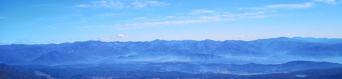

I wanted to do another hike in the mountains of Yamanashi, as well as get some more views of Mt Fuji; I also wanted to go driving one last time before the mountains roads closed for winter. I decided to head to the southwestern Oku-Chichibu mountains, last visited in 2017 when I climbed Mt Kaya. Last year, I had planned, but not done, a hike in that area, a roundtrip to two neighbouring peaks of the Kurofuji volcanic group. They were featured in my guidebook but with a different route up the northeast side that was no longer used; for my hike, I’d go up and down the same route via Hatcho Pass on the southwest side.
For subscribers, read this Blog Post on Hiking Around Tokyo for a better viewing experience and the latest updates
To get to the trail entrance, I’d take the Chuo line limited express to Kofu, and then, since Kai city buses only run to the area on weekdays, drive a share car to a parking spot near Kurofuji Farm. The weather was supposed to be sunny with mild temperatures, usual for this time of the year. As to the mountain name Kurofuji (“black Fuji”), apparently when seen from its neighbour peak on the north side, it looks like a dark version of Mt Fuji (also visible in the background). I was looking forward to seeing this effect with my own eyes, as well as enjoying the autumn colours, which I hoped would now be at their best.
Hiking in the Chichibu-Tama-Kai National Park
秩父多摩甲斐国立公園
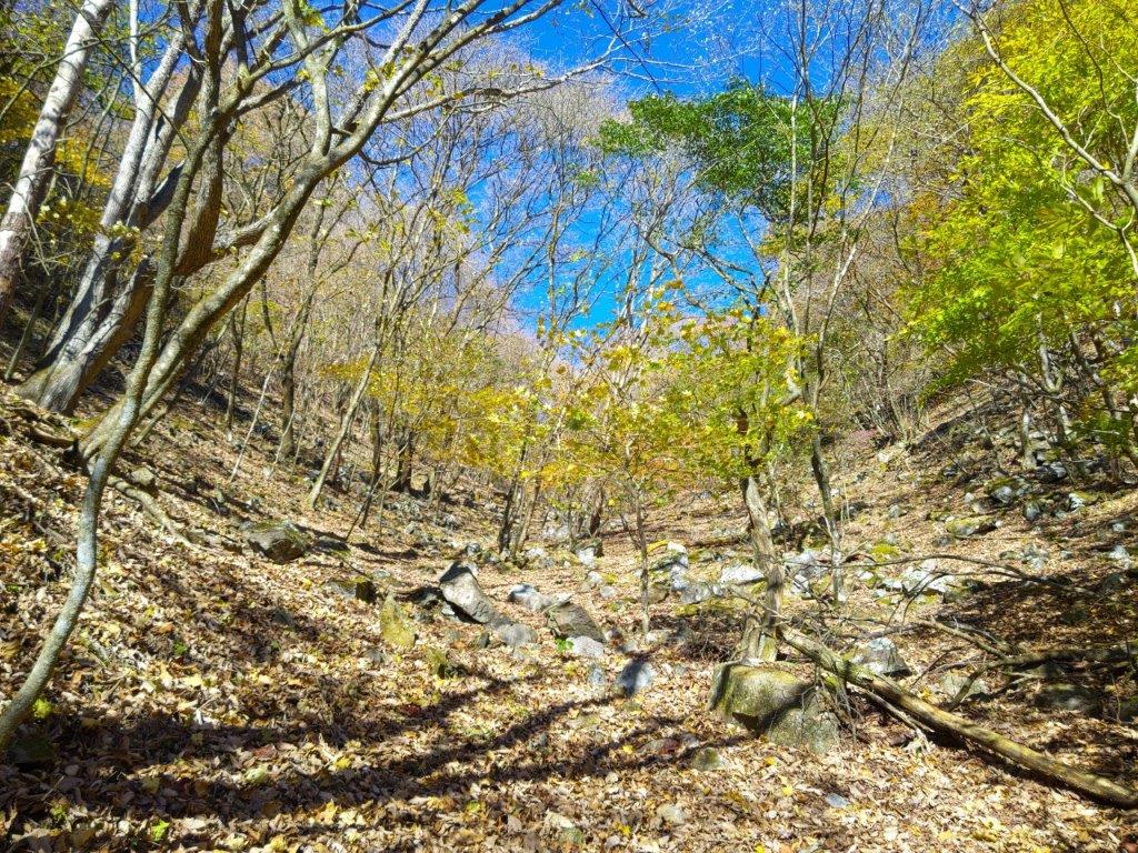
Autumn Colours and Blue Sky just below Hacho-toge
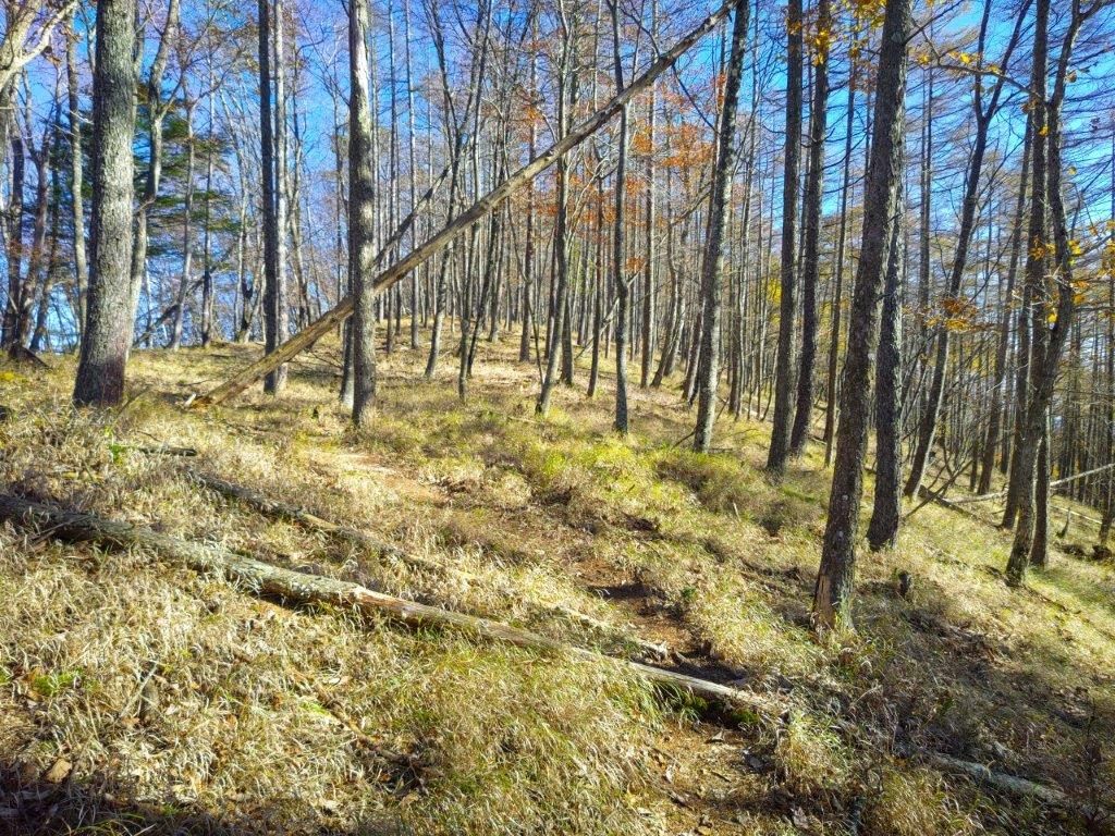
Larches and Grass on the way to Kurofuji
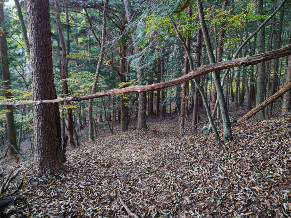
It was a perfect autumn day as I arrived in Kofu around 10am. After locating my share car, it took about an hour to drive to the small parking area near the start of the hike. After getting ready, I finally set off just as the noon chime was ringing. After walking past Kurofuji Farm, I left the paved road for a signposted trail on the right. I soon found myself walking up a narrow valley along a mountain stream, the rushing sound of water soothing the mind. At one point, I saw a white deer skull on the ground. After crossing the stream on a flimsy log bridge, I passed a couple of hikers heading down, the only other people I saw on today’s hike.

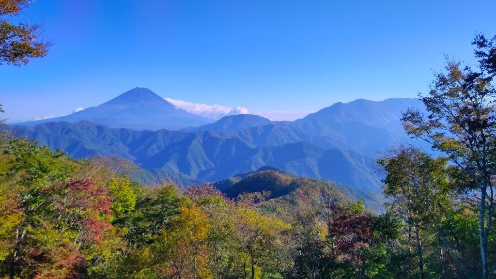
View of Mt Fuji from the South Side of Kurofuji
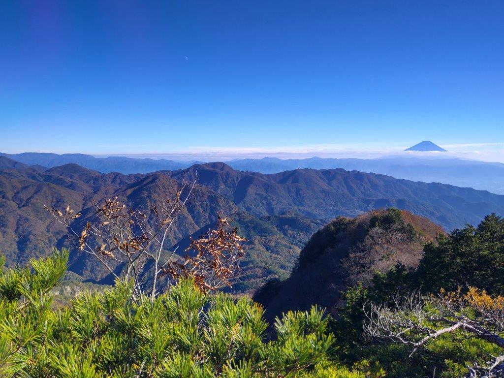
Southwest Oku-Chichibu with Mt Obina (center)
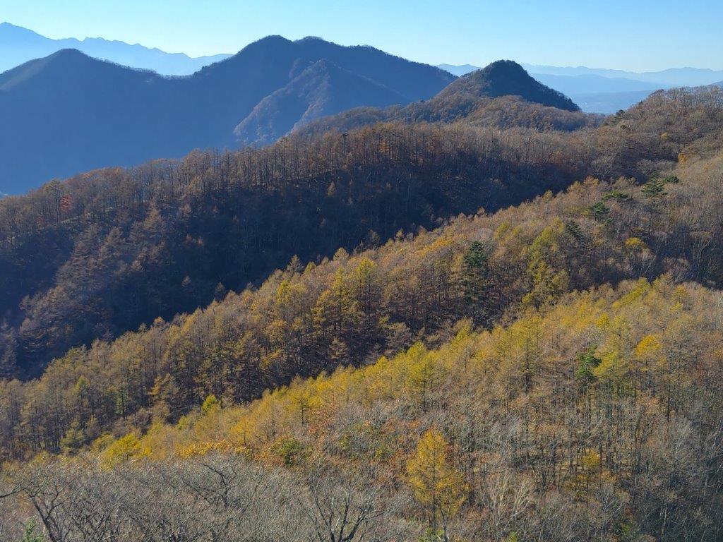
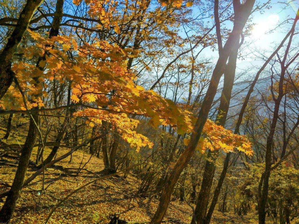
I was surprised by how quickly the trail became hard to follow; even with my phone GPS, I found myself off the path a couple of times. Fortunately, since it simply followed the valley all the way to the top of this ancient crater, I was soon back on track. About an hour after setting off, I reached a steeper, rockier area, a sure sign that was nearing the rim. The beautiful scenery of yellow leaves with a blue sky background slowed me down a bit, but at 1h30, I reached Hacho-toge (八丁峠) where I turned right along a well-trodden and gently rising trail, mixed forest giving way to tall larches.

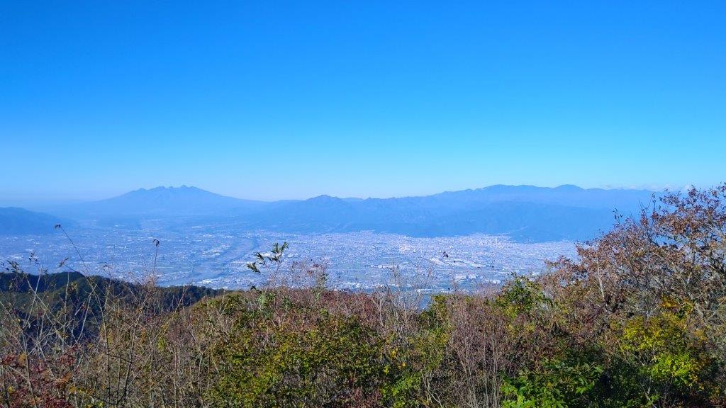
Mt Magari (left), Yatsugatake (back) & Mt Masugata (right) from Kurofuji

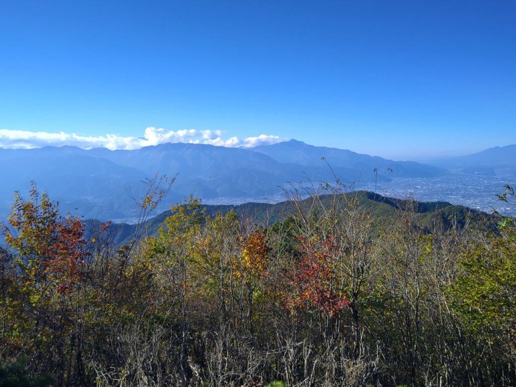
Mt Mizugaki (left), Mt Kinpu (center) & Mt Kokushi (right) from Kurofuji
This was perhaps the nicest part of the hike, the evenly spaced larches and grassy terrain giving an impression of wide open space, even though the trees had already lost most of their needles. I was reminded that I was now inside the western edge of the Chichibu-Tama-Kai National Park. After a short while, I was again climbing through bare trees and over rocky terrain, and at 2pm, reached the summit of Kurofuji (黒富士 くろふじ), a hundred famous mountain of Yamanashi. I could see the South Alps and Mt Kaya to the southwest, but the other directions were blocked by trees. My guidebook mentioned that a better view could be had just below the highest point so I headed down a path on the south side leading to a superb viewpoint at the top of a cliff.
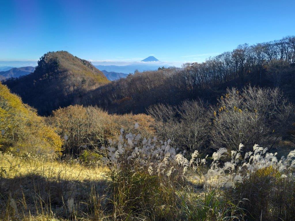
Kurofuji (left) and Mt Fuji (right) from the trail for Mt Masugata

Yatsugatake (left) and Mt Meshimori (right) from Mt Masugata
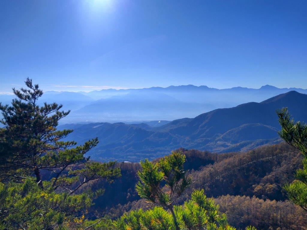
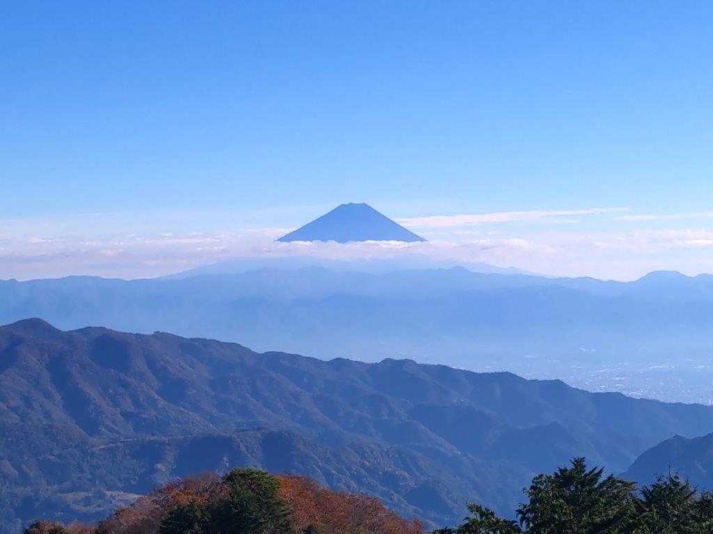
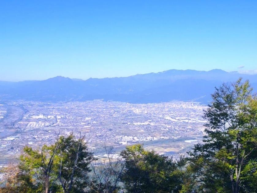
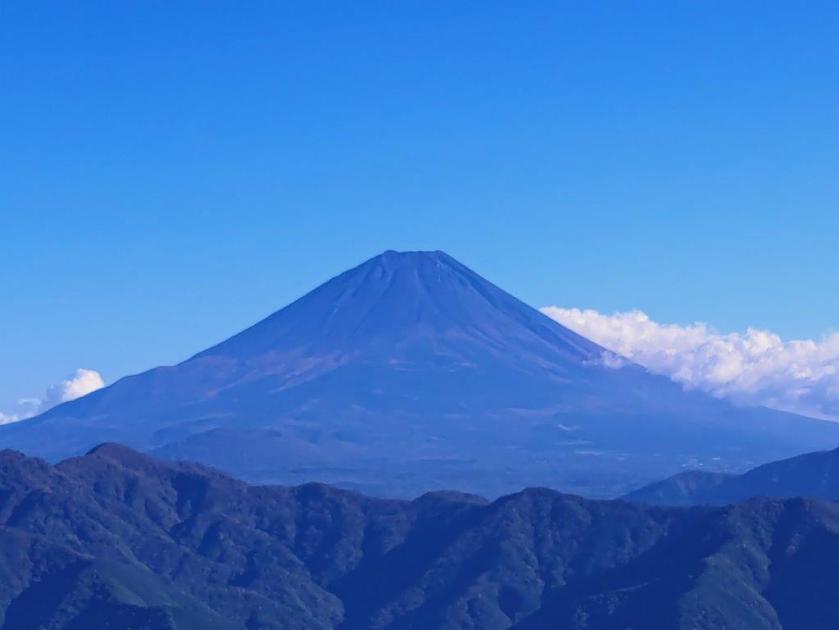
I carefully sat on a rocky ledge with a small, gnarly pine at my back, keeping a safe distance from the edge. From my perch, I could see Mt Fuji directly ahead; against the sun, it appeared as a black triangle, and I couldn’t tell whether the first snow of the season had fallen. To its right, were the Central Alps, and to its left were the Oku-Chichibu mountains, Mt Obina being the sole recognisable peak. After a short lunch break, I retraced my steps, and followed the summit ridge to another breathtaking viewpoint on the north side, on top of some large rocks protruding from the mountain side.
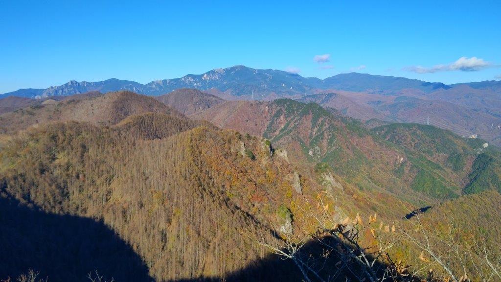
Mt Kinpu from Mt Masugata

The Oku-Chichibu Mountains from the top of Mt Masugata
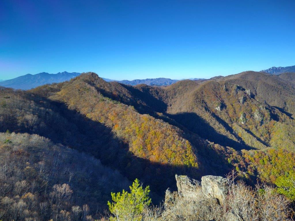
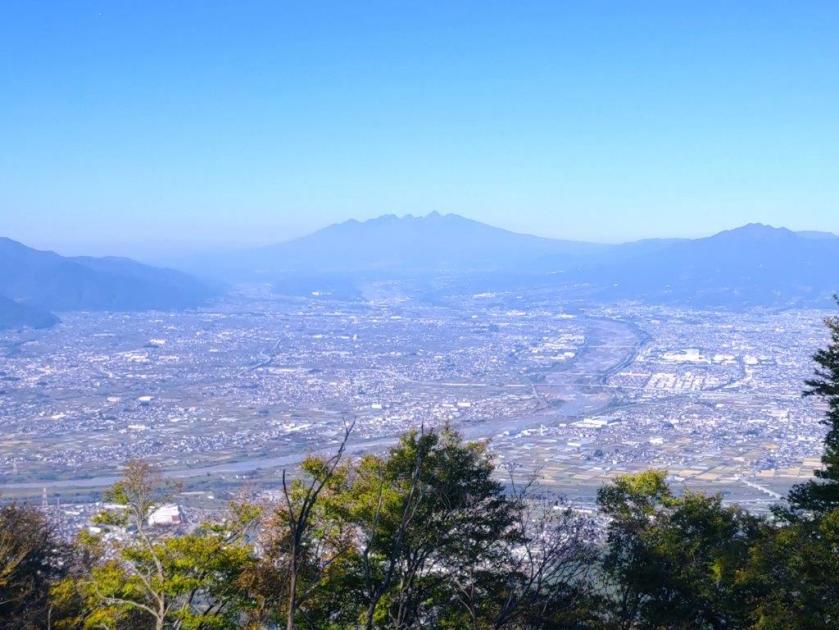
Standing on top of one of these rocks, I was astounded by the golden colours covering the mountains sides directly below, patches of grey indicating that the leaves were already past their peak at this elevation. I could see Mt Magari and Mt Marugata, and between them, Yastugatake in the far distance. Turning to the north side, I could see some of the highest summits of the Oku-Chichibu mountains: Mt Mizugaki, Mt Kinpu and Mt Kokushi. Amazingly, the area in-between has almost no hiking trails and few access roads, one of the few wild places in the Tokyo area. I was starting to fall behind schedule so I pulled myself away from the view and headed back the same way; I soon arrived at the intersection for today’s next peak, where I turned right. As I walked up the grassy path, Kurofuji suddenly came into view on the right side.
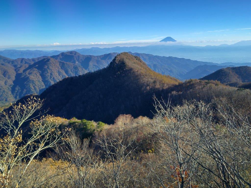
“Black Fuji” view from the Summit of Mt Masugata
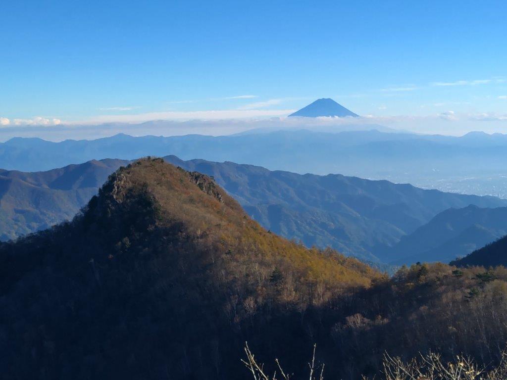
Kurofuji with Mt Fuji in the background
I was excited to already have a view of “black fuji” even before reaching the second summit; viewed from the north side, the conical shape of Kurofuji was nearly entirely in the shade. To its right, I could see the top of Mt Fuji popping up through the clouds; in foreground, golden “susuki” swayed in the light breeze. I continued at a fast pace up the switchback trail, and at 3pm, reached the base of a huge rock. A quick scramble up some natural steps brought me to the narrow, flat top of Mt Masugata (升形山 ますがたやま masugata-yama), the name meaning shaped like a “masu” (a square wooden box used for drinking sake), an apt description for this summit.
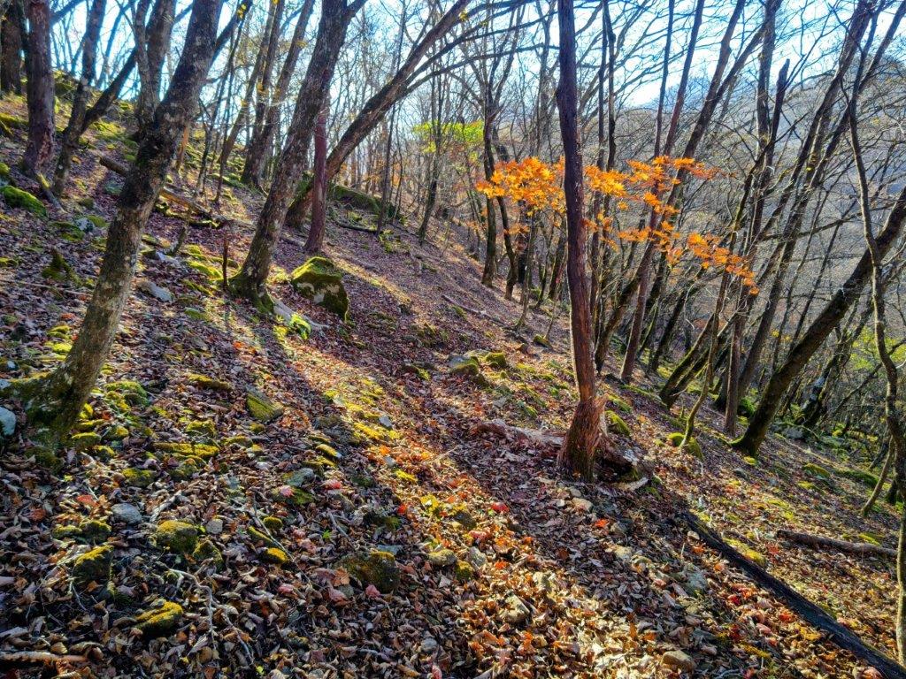
Late Afternoon Light just before Hatcho Pass
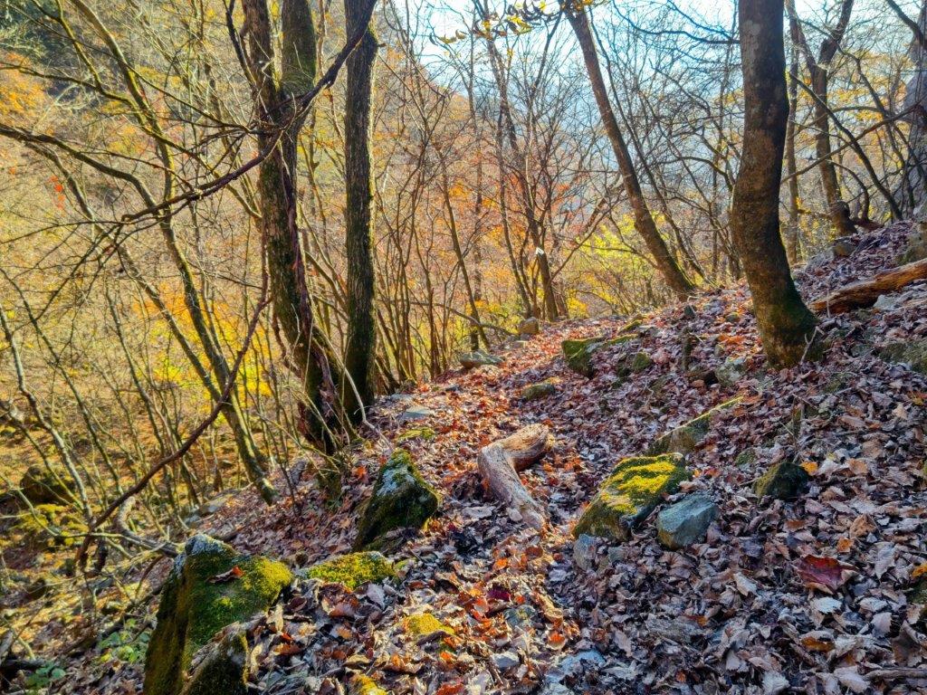
Late Atfernoon Light just after Hatcho Pass
I was glad to have the summit to myself, as there wasn’t much space on top of the “masu“; I could also enjoy the breathtaking 360° view in perfect silence. To the west was Mt Yatsugatake; on the north side, I could see Mt Kinpu; and finally, turning southwards, was the view of Kurofuji with Mt Fuji in the background. It was only partially dark; perhaps a different time or season is needed for a full blackout. It was now 3h30, so I carefully got off the “masu” and quickly made my way back to Hacho Pass and then down the steep valley. The Autumn colours were even more beautiful in the late afternoon light and the trail was easier to follow on the return even after the sun had dipped below the ridgeline. Shortly before recrossing the stream, I spotted a white antler on the ground, to complement the skull I saw on the way up. At 4h30 I was back at my car, and by 5pm, I was on my way back to Kofu city just as it was getting dark.
Watch a video of the Kurofuji Hike
Watch the Video of the Hike on YouTube








See a Slideshow of More Pictures of the Hike











 Hiking Around Tokyo
You must be logged in to post a comment.