
I wanted to explore more of the Kanto Fureai no Michi, its trails being well-suited for winter hiking. I decided to do a section between Motegi and Nanai stations in eastern Tochigi, mostly following back lanes through an area of low hills, at the southern edge of the Abukuma Plateau. It had snowed heavily a few days before so this felt like a safe choice. At the halfway point was another local “Fuji”, with supposedly good views from the top, although I hoped no snow would be left on the steep climb.
Hiking the Kanto Fureai no Michi
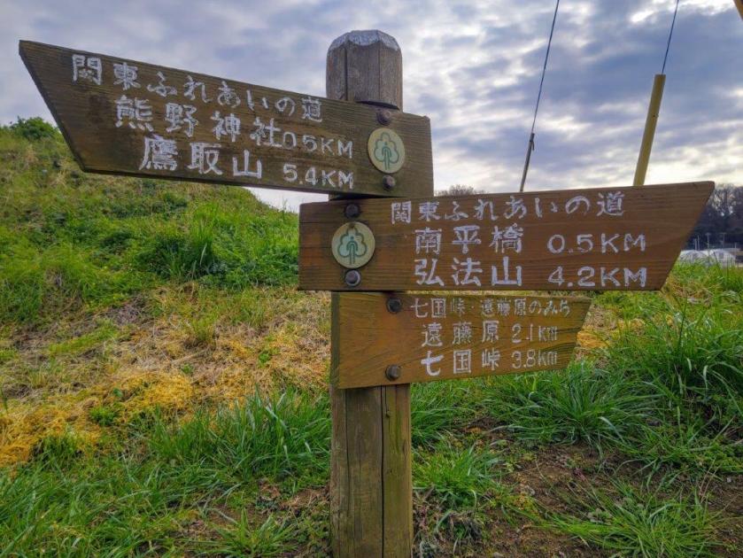
関東ふれあいの道
I would ride the Utsunomiya line to Oyama Station, and then the Mito line to Shimodate station. There, I would transfer to the private Mooka line (pronounced “mo-oka”) and get off at the last station. For the return, I could get catch a bus for Utsunomiya, and then ride the shinkansen back to Tokyo. The weather was supposed to be sunny and cold, but not freezing. I was looking forward to a relaxing station to station hike and getting some new views in a little-visited area.
For subscribers, read this Blog Post on Hiking Around Tokyo for a better viewing experience and the latest updates
Heading up (left) and down Haga-Fuji (right)

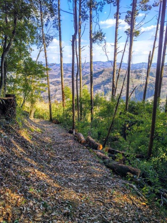
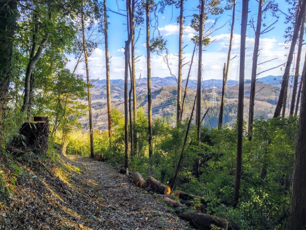
A Well-Maintained Trail on Haga-Fuji (left) with Views through the Trees (right)
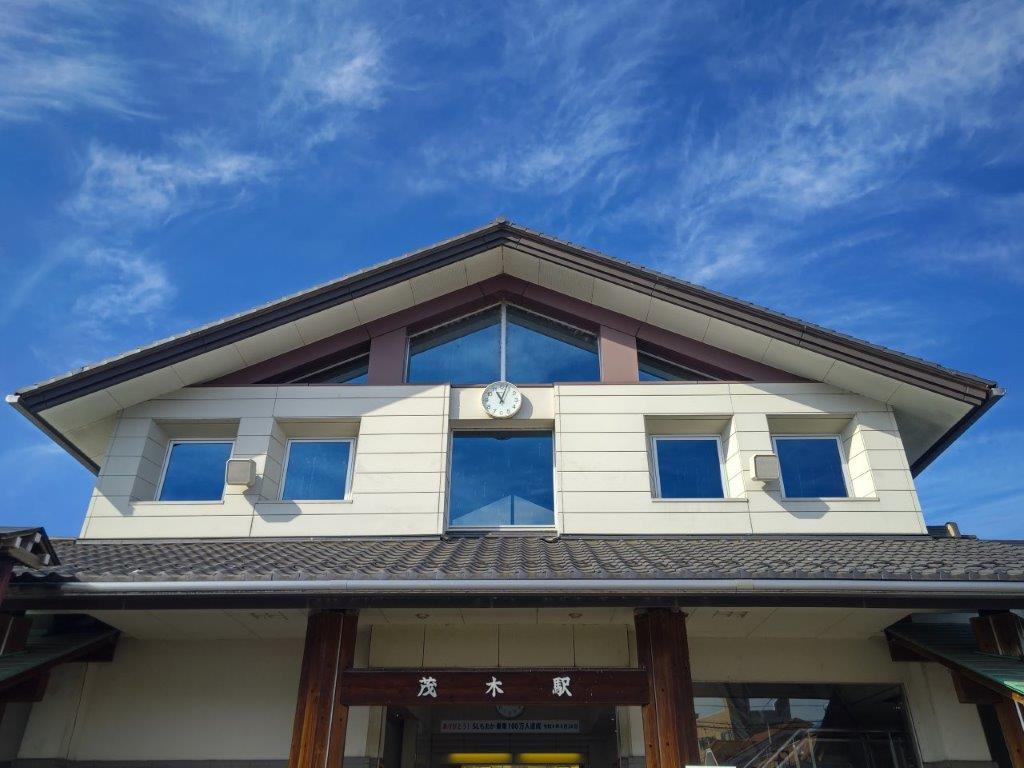
It was a beautiful blue-sky day as I stepped off the train at Motegi just before 11am. I was surprised by how few people visit this charming riverside town in the hills, although it might be due to the winter season. I set off half an hour later and followed a promenade along the Sakasa river. On the way, I passed the quiet “Cat Store” (猫の雑貨屋), a small shop and cafe selling cat-related goods, and the busy “Motegi Roadside station” (道の駅もてぎ), from where I got a glimpse of the steam locomotive (SL) that runs on the Moka line on weekends.
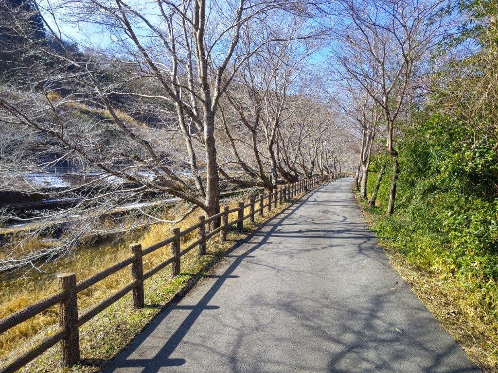
Promenade along the Sakasa River
Walking through the Tochigi Countryside
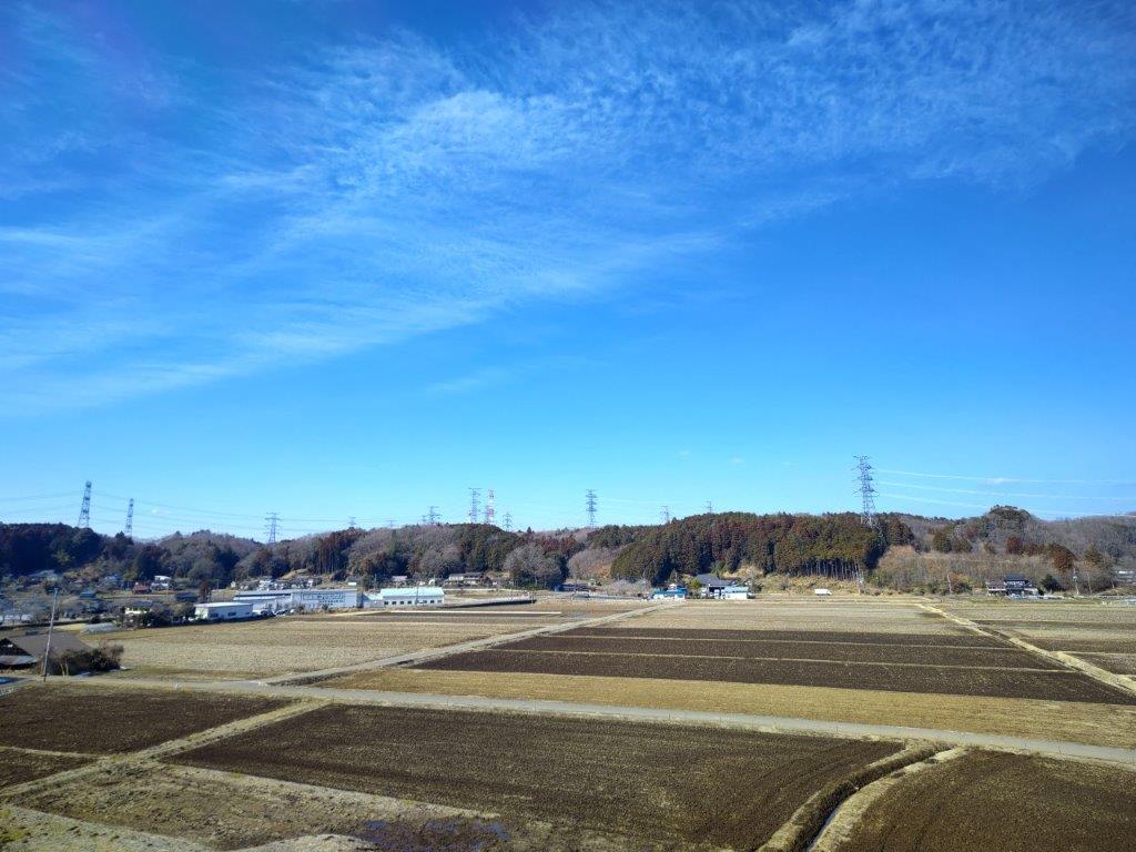
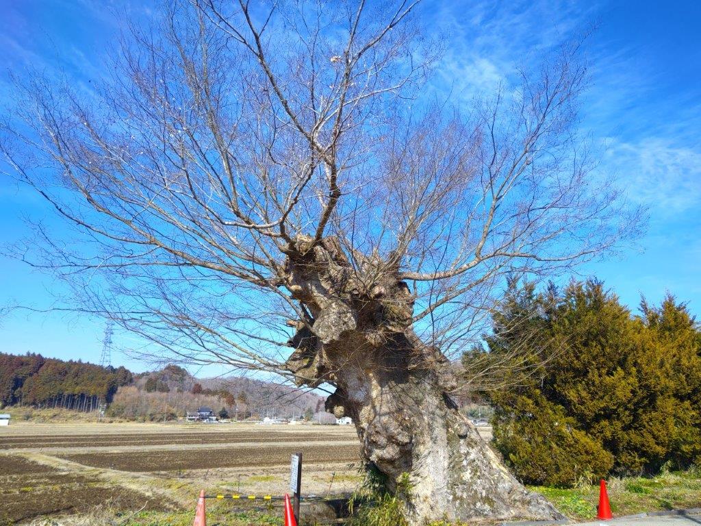
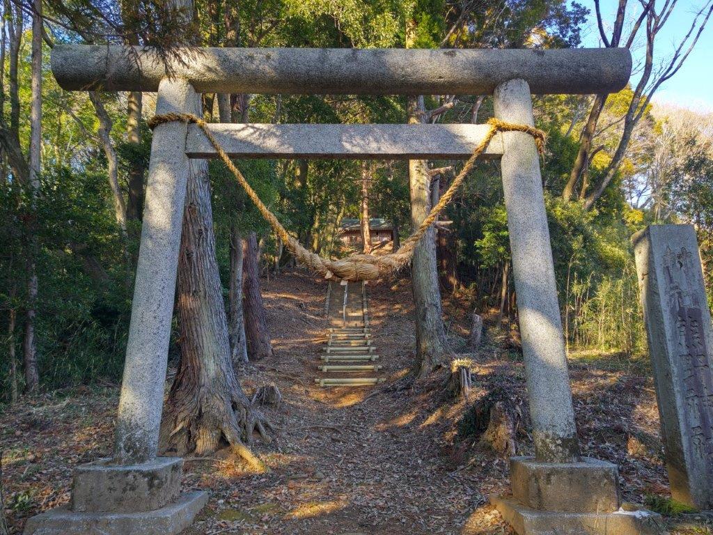
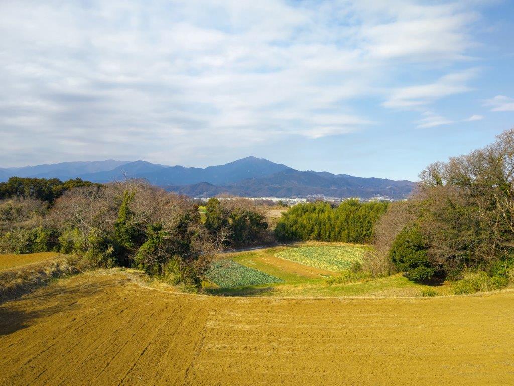
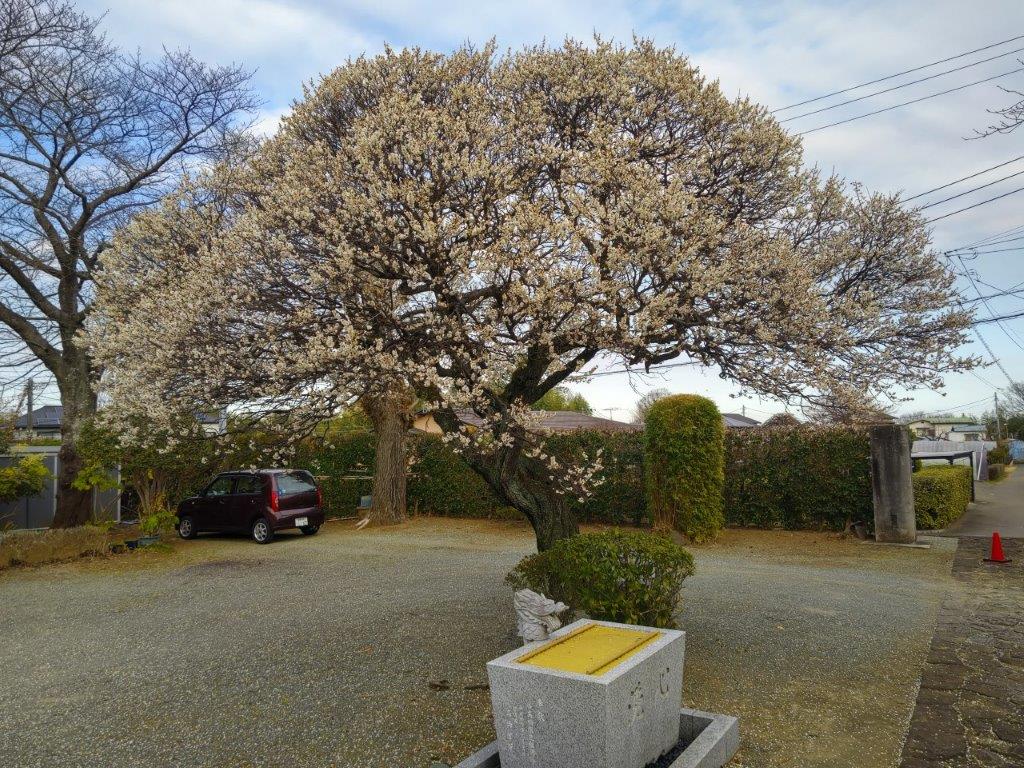
It was a day for sights in the sky: white herons taking off above the river, wispy cirrus clouds moving quickly overhead, a helicopter whizzing by, power lines spanning the sky between pylons, and even a couple of circling hang-gliders which I first mistook for birds of prey. After a short bit on a busy road, I crossed a bridge and left the Sakasa river for a short detour by Anraku-ji temple (安楽寺) and its 600-year-old Zelkova tree (“keyaki“), from where I had my first glimpse of the conical top of today’s mountain. Thirty minutes later, I passed some terraced rice fields, one of the 100 rural landscapes of Tochigi, still covered in snow. Soon after, I reached the entrance to the hiking trail on the left.
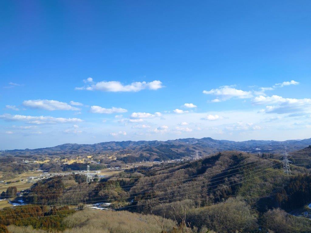
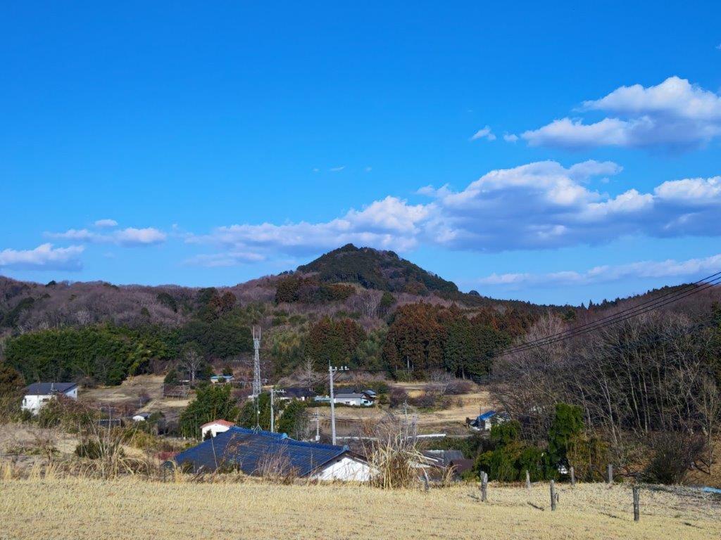
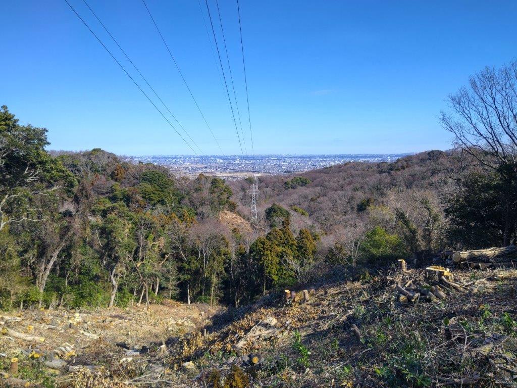
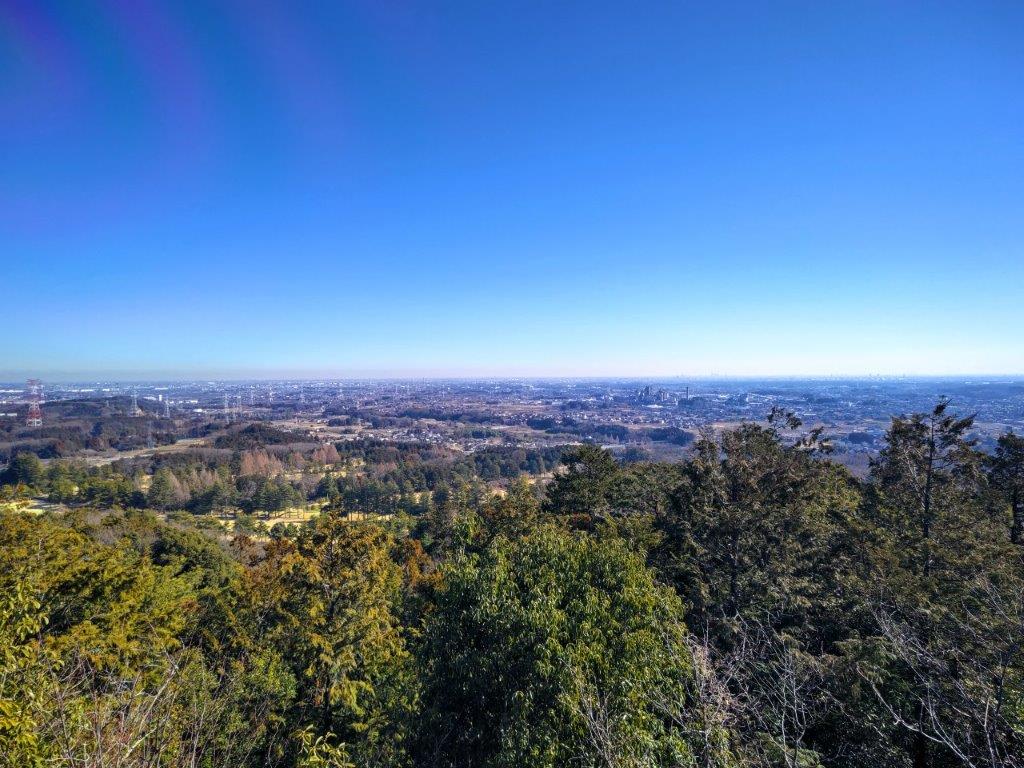
Mt Yakimori & Mt Keisoku from near the top of Haga-Fuji
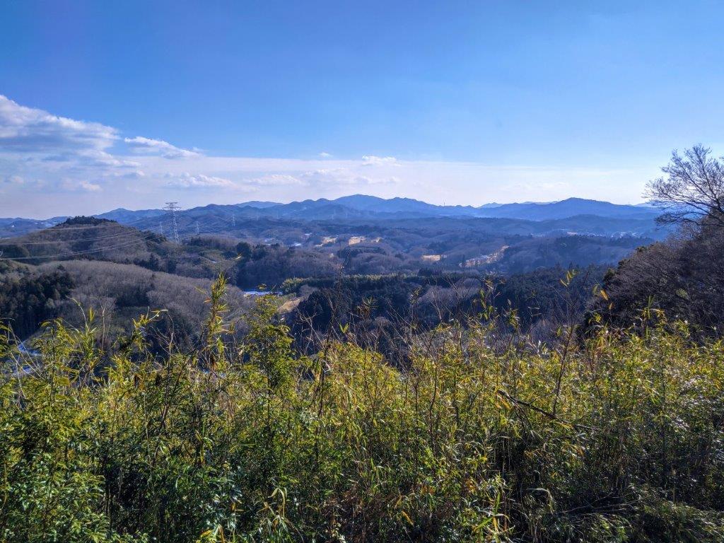
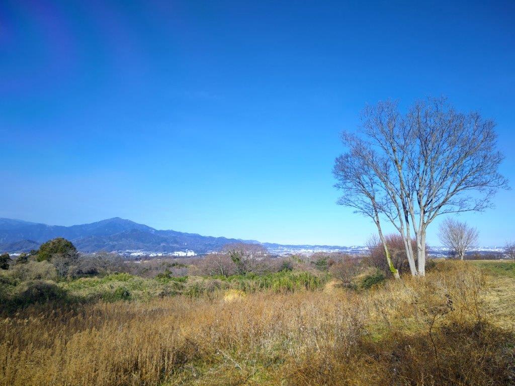
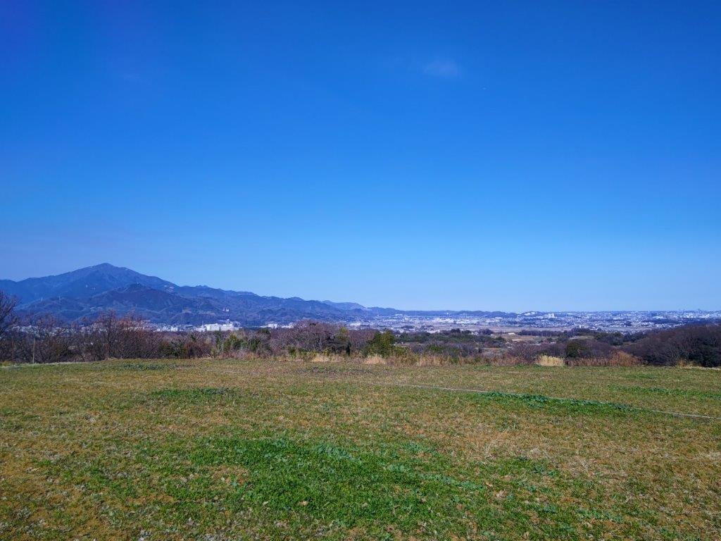
Mt Amamaki & Mt Takamine from halfway down Haga-Fuji
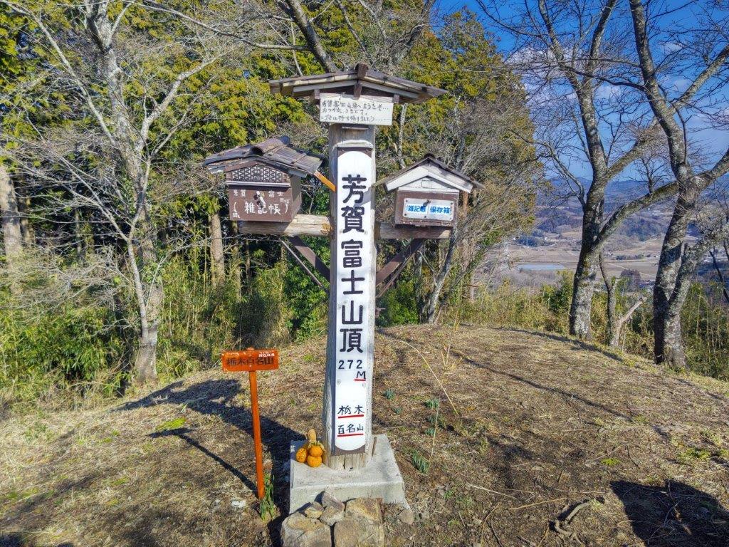
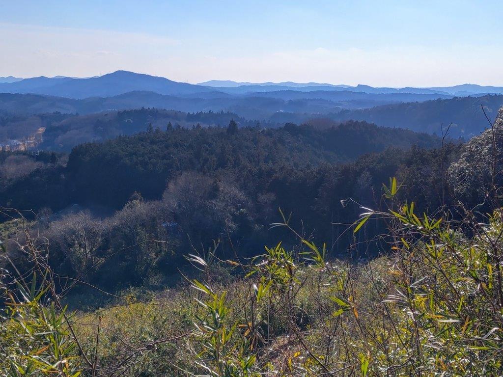
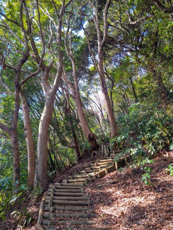
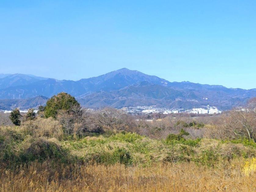
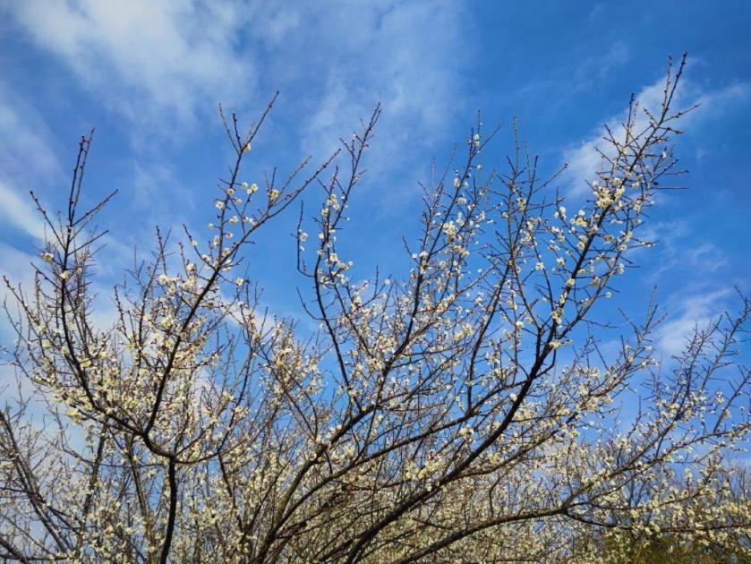
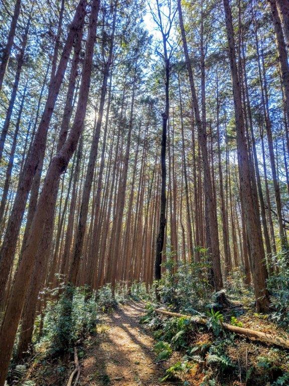
I was surprised to see the path covered in snow, with only one set of footsteps. Luckily, once it entered the forest, the snow all but disappeared. After a steep but short climb through cedars, I reached a dirt track with a wide view on the east side. I could see Mt Yakemori and Mt Keisoku, as well as the other Mt Fuji in the area. One final effort brought me to the highest point of Haga-Fuji (芳賀富士 はがふじ), a 100 famous mountain of Tochigi. The view was mostly blocked by trees; through a gap on the southwest side was a view of the real Fuji, although today it was lost in the haze. It was 2pm so I sat on one of the benches for a late lunch. After half an hour, I headed down a switchback trail on the south side.

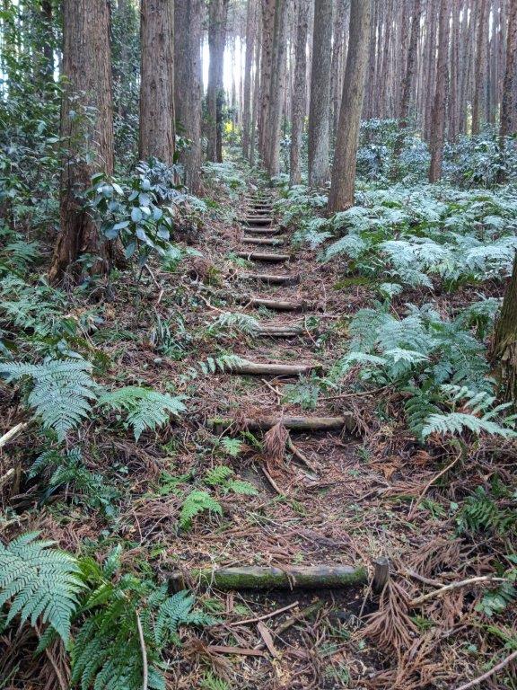
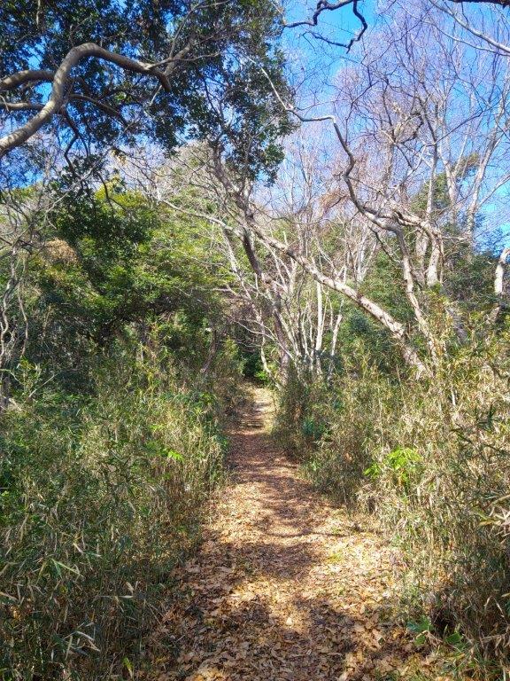
Snowy Section of the Fureai no Michi

Looking back at Haga-Fuji
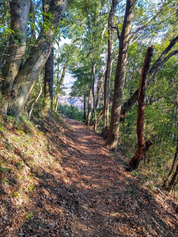
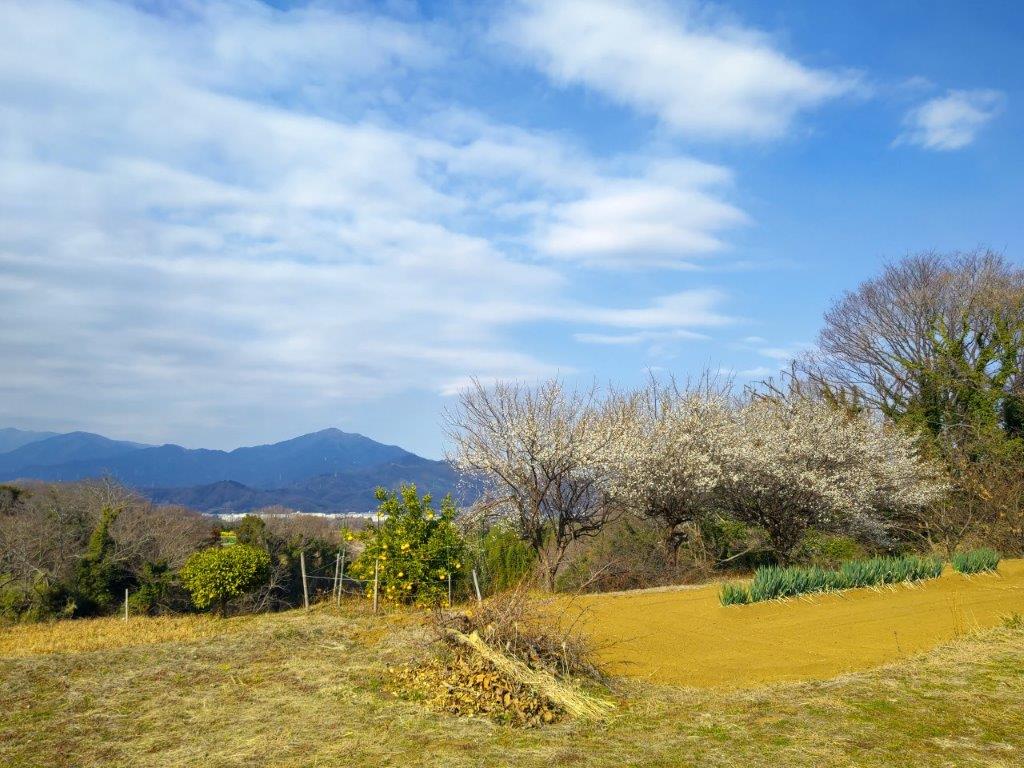
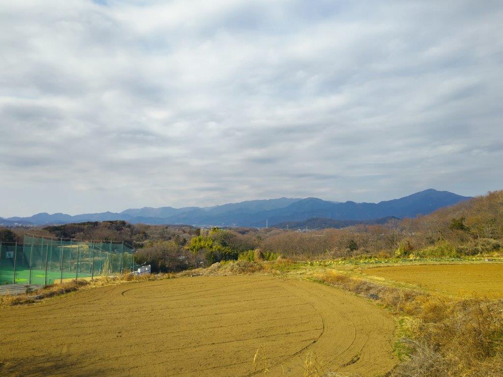
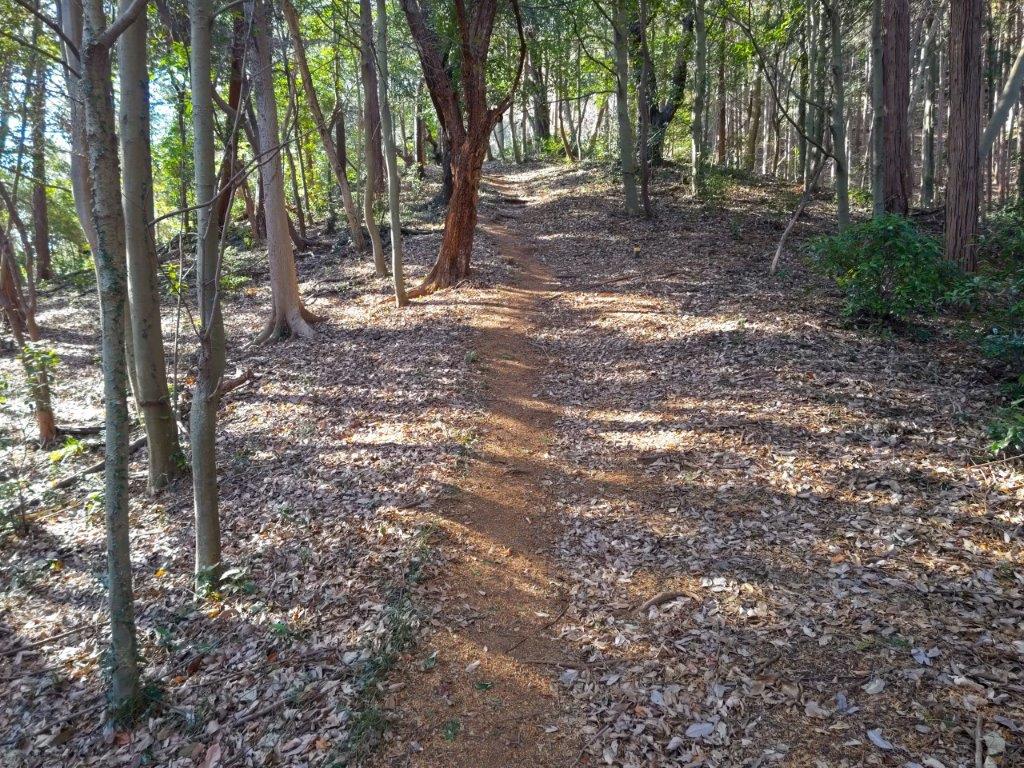
This was by far the most pleasant part of the hike. Halfway down and slightly off the trail, I had a view to the south of Mt Amamaki and Mt Takamine, as well as the Ogodo Alps. I soon reached the base, and after passing Kumano shrine and Anzen-ji temple (安善寺), was back on countryside lanes. Turning around at the top of a slope, I could admire the conical shape of today’s peak. Another hour of uneventful walking brought me to a bus stop near Nanai station; a little after 4pm I boarded the bus for Utsunomiya, where I hopped on the shinkansen for the short trip back to Tokyo.
Watch the Video of the Hike on Youtube


See a Slideshow of More Pictures of the Hike


You must be logged in to post a comment.