Mt Gozen (193m) & Mt Fuji (183m), Shirosato Village, Ibaraki Prefecture, Saturday, March 12, 2022

I was looking for some low altitude, snow-free hiking and knew I could find it in the hills of northern Ibaraki. I remembered seeing in my guidebook a loop-hike above a river valley I had never been to before; after checking it again, I saw it followed a section of the Kanto Fureai no Michi inside a prefectural nature park. I would ride the Hitachi limited express to Mito and then switch to a bus taking me close to the trail entrance, then do the same trip in reverse for the return. The weather was supposed to be sunny with spring-like temperatures, a good day for short sleeves. I was looking forward to hiking through some beautiful nature and getting some good views of a new area.

Hiking the Fureai no Michi

ふれあいの道

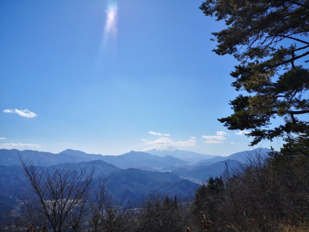
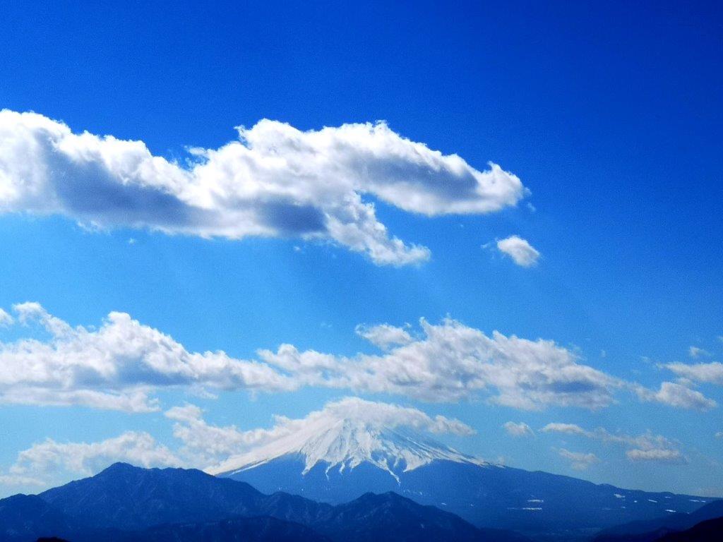
View from the top of Mt Fuji

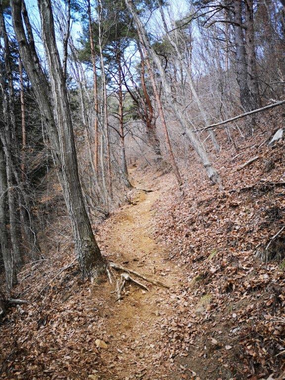
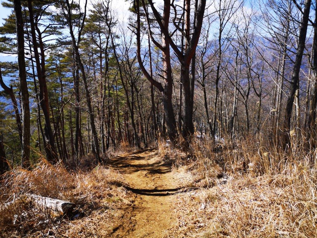
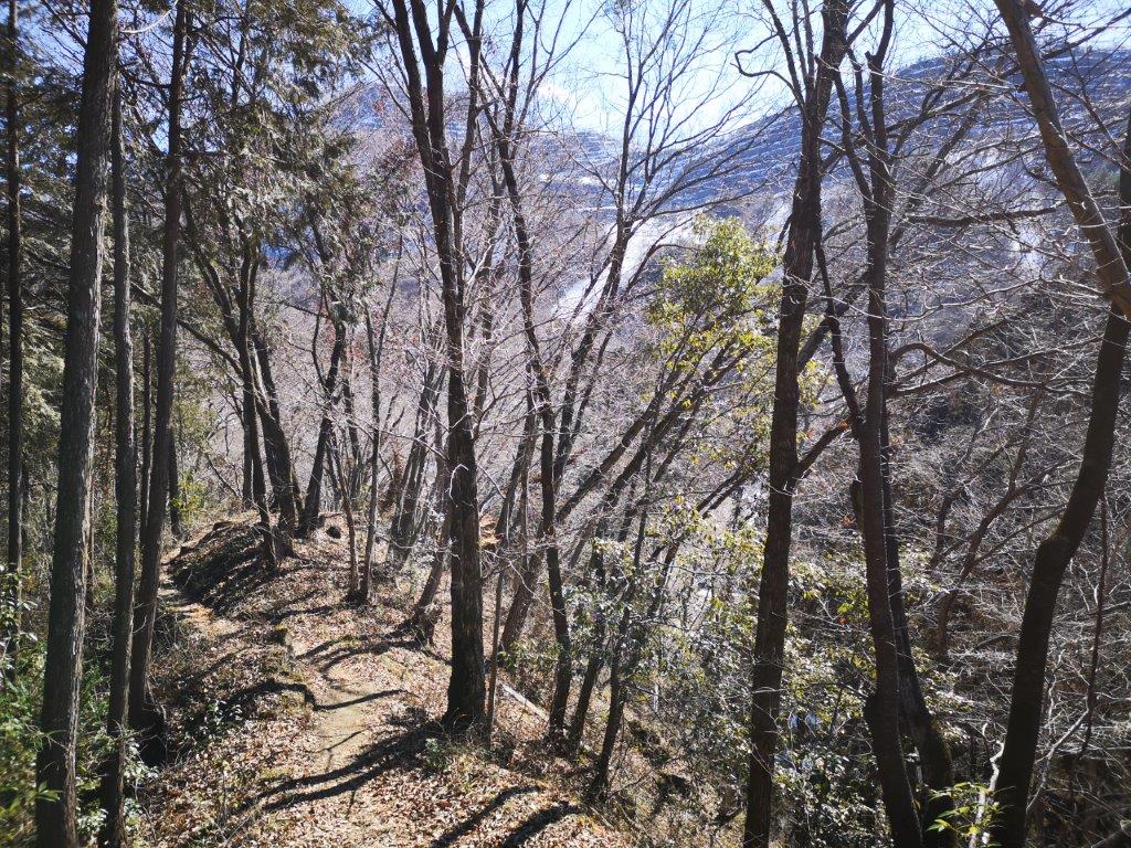
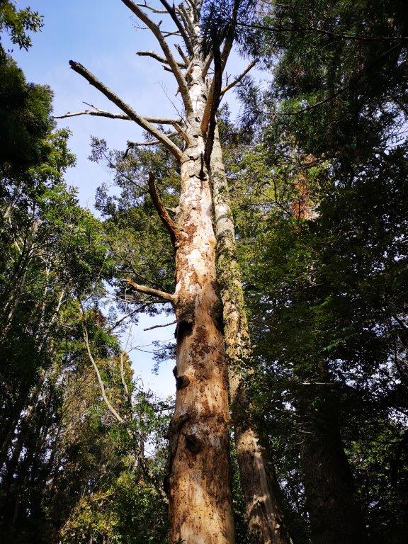
Beautiful forest at the start of the gozenyama hiking trail

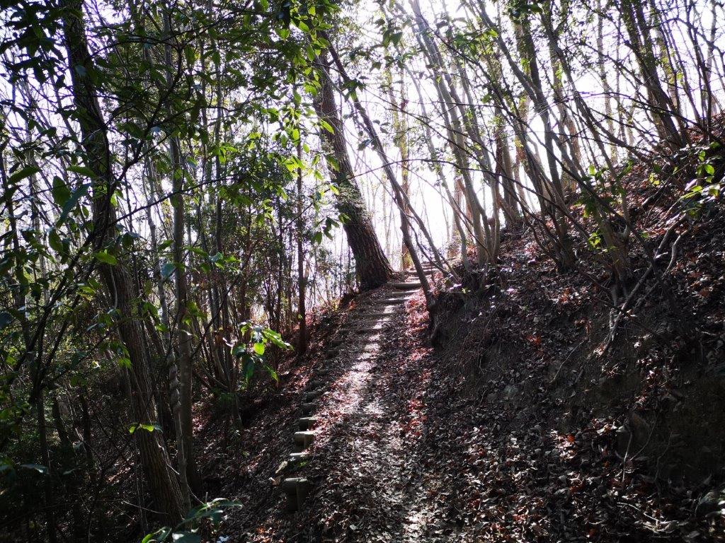
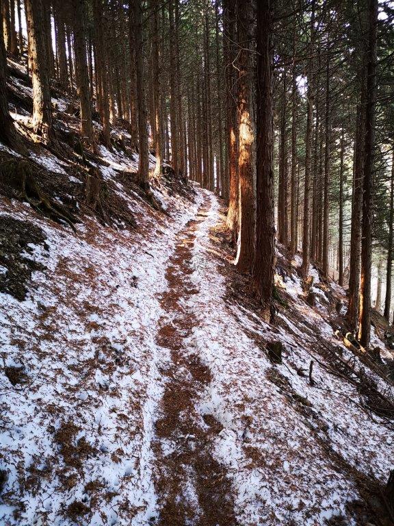
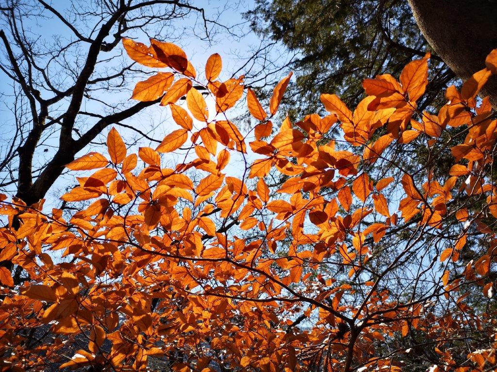
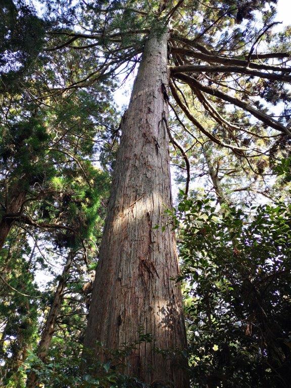
After a comfortable ride to Mito under light blue skies, I boarded a bus for the one-hour ride to the Gozenyama bus stop. Although it was only 11am, I decided to have an early soba lunch at Sobakiri Kuzo (そばきり空蔵) and then make a quick visit to the Katsura Michi no Eki road station. At 12h30, I was finally ready to start hiking. At first, the path climbed through stunning mixed forest, each species of trees carefully labeled; after passing an “azumaya“, a sheltered seating area, the trail became mostly level, with towering cedar trees on both sides. After a few minutes, I reached a turnoff on the left leading to a view point to the south, just a minute away, and the site of an old bell tower.

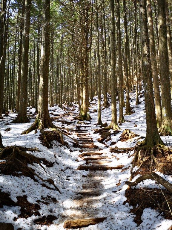
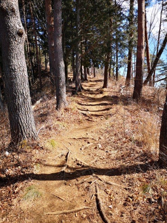
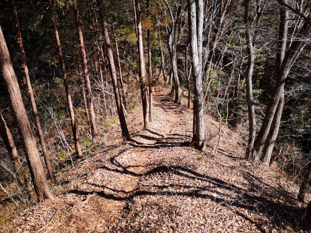
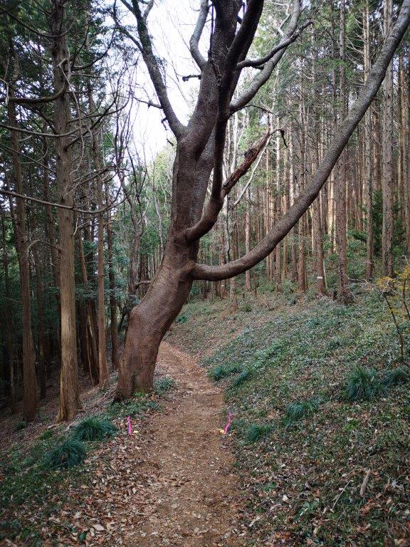
Walking under the cedars (left) one of the many ups (right)

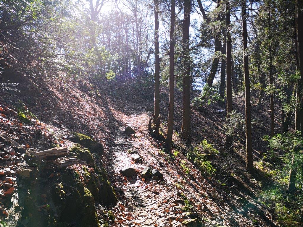
A sunny section section of the trail

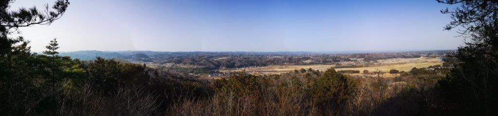
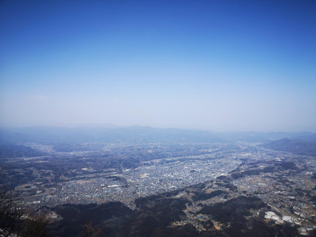
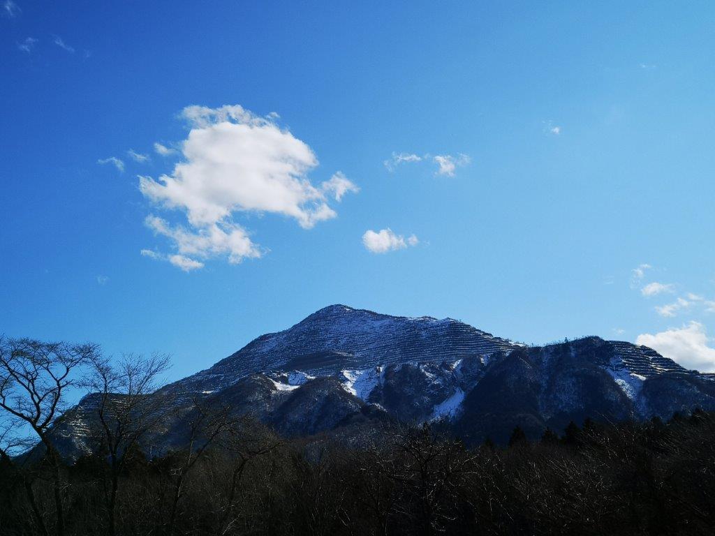
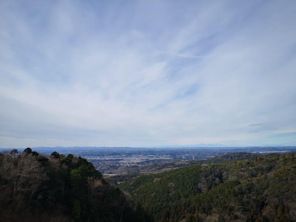
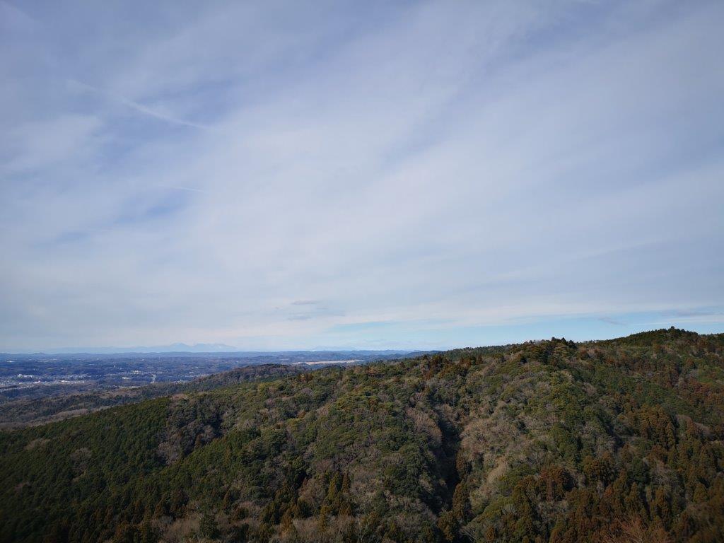
After admiring the view, I returned to the main trail. Some ups and downs, brought me to the highest point of Mt Gozen (御前山 ごぜんやま gozen-yama), completely in the trees. The trail descended sharply, crossed a road, and then rose again. At 2h30, I reached another “azumaya“, slightly off the main trail, with a view east through the trees, so I took a short break before setting off again. From this point, the trail became increasingly hilly and not unlike some of the “Alps trails” I had done in other places; about an hour later, I was glad to finally reach the top of Mt Fuji (富士山 ふじやま fuji-yama). From the top of the viewing platform, I had a view east of the Nakagawa river and the hills of Daigo on a cloudless day.

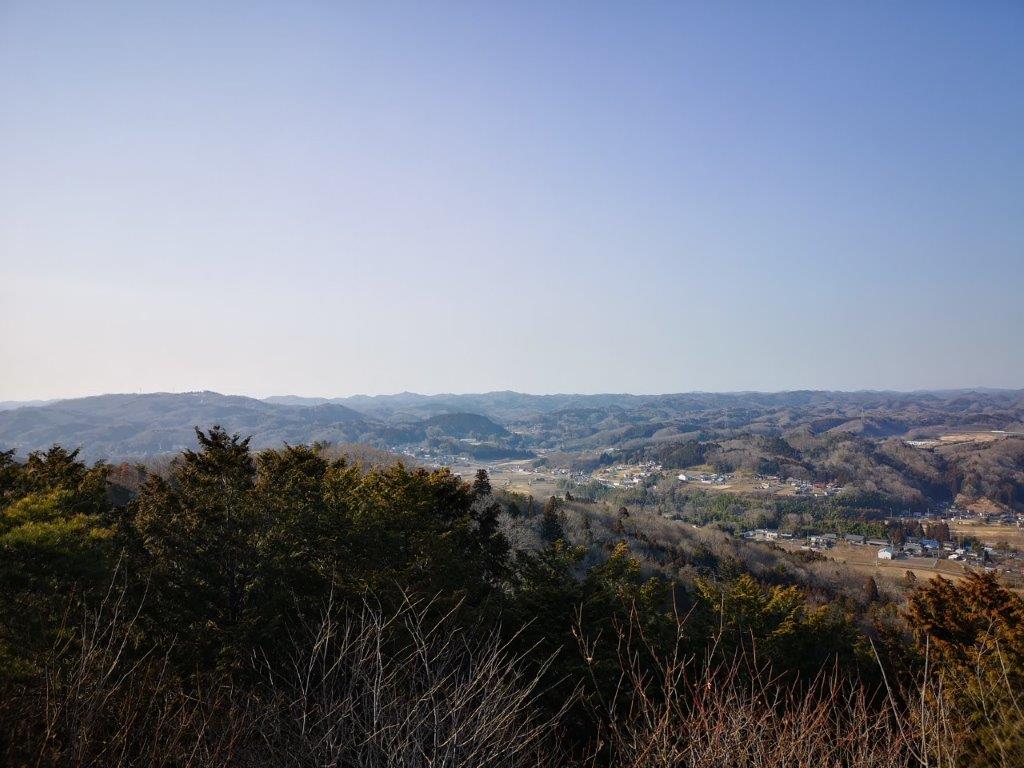
North view from the Mt Fuji observation platform

Nakagawa river from the Mt Fuji observation platform

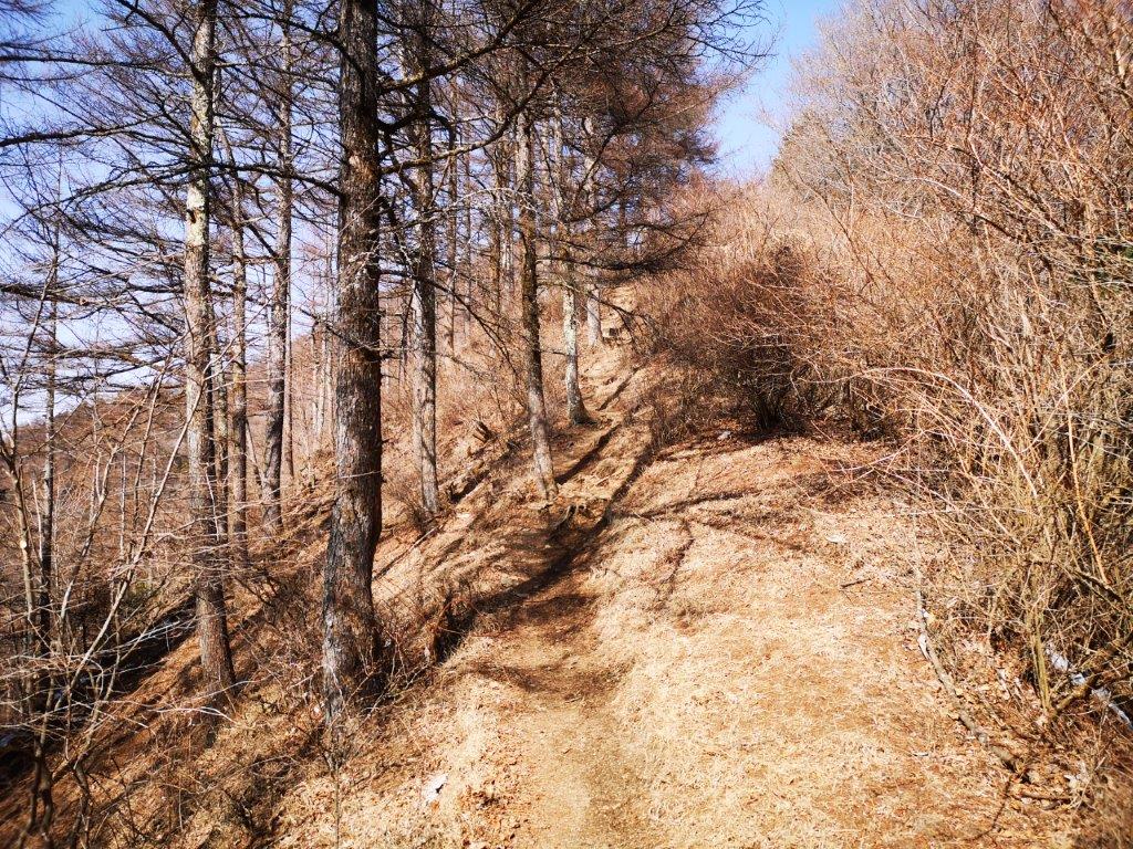
I walked down a seemingly endless series of steps and reached the base of the mountain around 4pm. From there, one-hour walk of peaceful walking along a road through the fields and then above the Nakagawa river, took me back to the Gozenyama trail entrance and its bus stop. At 6h30, I was back at Mito station where I got on the limited express for the short ride back to Tokyo.

See the trees and views of Mt Gozen
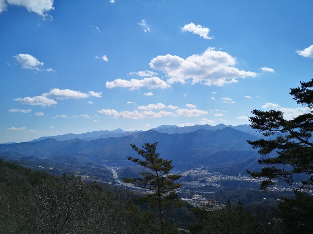
Mt Buko (1304m), Yokoze Town, Saitama Prefecture, Saturday, March 5, 2022 [MAP AVAILABLE]

I had climbed Mt Buko over ten years ago on a hazy June day and wanted to do it again on a clearer day. This time, I would take a taxi from Seibu-Chichibu station to the trail entrance and make a loop; this way, I could shorten the hiking time, because I needed to walk over an hour to Yokoze station at the end. Although the forecast for the next day was sunny and warm, I knew some snow and ice would be left above 1000m, so I packed my light crampons just in case. I was looking forward to revisiting this mountain and getting some great views of Chichibu from the summit.

Get a Map of the Mt Buko Hike

This map was developed for Japanwilds with the Hokkaido Cartographer

Find Japan Hiking Maps on Japanwilds

Mt Buko, taken on my 2009 hike

View from the top observatory

It felt like early spring as I stepped off the Laview Limited Express at Seibu-Chichibu station. After buying some supplies, I hopped into a taxi for short ride to “ichi-no-torii” (一ノ鳥居). By 11am, I was walking up a steep paved road next to a river; I remembered this as the toughest part of my 2009 hike. Many people were already coming down, having enjoyed the early morning view. I soon reached some log steps marking the start of the trail. I passed several interesting sights on the way: the partially frozen “fudo-taki” waterfall (“fudo” means motionless); a delicate wooden bridge for only one person at a time; a pile of white limestone rocks taken from the summit; a giant cedar tree, its crown too high to see. I was walking alone through the forest and was stunned by the silence, since the other side is forever noisy because of the mining.

Some snow on the way up (left) and down (right)

Chichibu city stretching from south to north

At noon, I was treading on snow. Fortunately, the slope never became steep enough to justify putting on crampons. The long log staircase from my previous climb had disappeared, replaced by a switchback path. Half an hour later I reached the summit shrine, bathed in sun and surrounded by trees. I made my way to the observatory on the north side, a little higher up, and the official summit of Mt Buko (武甲山 ぶこうさん bukou-san), a two-hundred famous mountain of Japan. I was almost by myself, which was lucky since the top area was narrower than I had remembered. It hadn’t rained for a while so the sky wasn’t as clear as I had hoped, but I had a good view of the Minano Alps, Mt Mino, Mt Ogiri, Mt Dodaira and Mt Maru.

Looking back at the sunny descent to Shirajikubo

Back into the sun and out of the snow

I was most impressed by the bird’s-eye view of Chichibu city, stretching south to north along the Arakawa river. It was 12h30 so I had lunch standing up, since I couldn’t find a spot to sit. At 1pm, I headed back to the shrine and down a steep trail on the south side; I was relived it was in the sun and snow-free. Pine trees on both sides made it feel like a different mountain. I soon arrived at Shirajikubo (シラジクボ), the start of the climb up Mt Komochi. Here, I turned left onto a trail hugging the east slope. It was in the shade and covered by snow, but since it was mostly level, crampons weren’t needed. I had fun walking in the snow for a while; soon I was back in the sun and walking on solid ground. After an hour of descending through the forest, I was back at the “torii“, the shinto gate at the mountain base. As I walked to the station, I passed several impressive factory buildings, working hard on a Saturday. At a little past 4pm, I boarded the limited express for the 80 minute ride back to Tokyo.

Enjoy the bird’s-eye view from the top of Mt Buko

Mt Momokura (1003m), Otsuki City, Yamanashi Prefecture, Sunday, February 27, 2022 [Map Available]

After Mt Takagawa, I felt like revisiting another mountain in the area, so that I could get more views of Mt Fuji with its seasonal snowcap, especially since snowfall had been quite generous this year. On my last visit, I had combined this summit with its neighbour, Mt Oogi; this time, I was looking for something more laid-back. Studying my map, I found alternate trails leading up and down, meaning the entire hike would be new. The weather forecast was looking good, apart from strong winds threatening the higher elevations; I was more concerned about clouds forming around the top of Mt Fuji. I was looking forward to my first hike of the year above 1000 meters, as well as keeping my fingers crossed that Fuji wouldn’t be too shy.

Download a map of the Mt Momokura hike

This map was developed for Japanwilds with the Hokkaido Cartographer

Find more Japan hiking maps on Avenza

View to the south of Mt Fuji half in the clouds

View of Mt Fuji from my 2011 hike

I rode the Chuo line limited express for about an hour to Otsuki station, where I transferred to a bus, taking me close to the trail entrance. It was nearly 11am, and I felt quite warm while making my way up a steep road. I soon arrived at a fork and followed the left branch. I passed by a relatively new toilet facility (advertised as “very clean”), and had my first view of Mt Fuji, partially hidden by the clouds.

Lion-dog guarding the start of the trail

View of the Doshi and Tanzawa mountains

The start of the trail lay just beyond a lion-dog statue guarding a shrine entrance. After half an hour of climbing through the cool forest, I arrived at the first view of the day. On the left, I could see the Doshi and Tanzawa mountains; opposite was Mt Fuji, popping in and out of the clouds; on the right stood Mt Takagawa and Mitsutoge. I sat down on a bench to enjoy the view, but a cold wind started blowing, so I quickly set off again; ten minutes later, I reached a junction on the top ridge.

To the right of Mt Fuji, Mt Takagawa and Mitsutoge

A bench with a view

I was hit by powerful gusts of wind coming from the north side and I immediately felt very cold. I had to take shelter on the south side to add a layer of clothing. I continued towards the summit, slightly worried about falling branches. Fortunately, the wind abated somewhat once I arrived at the top of Mt Momokura (百蔵山 ももくらやま momokura-yama), a Yamanashi hundred famous mountain. Since it was 12h30, I found a grassy spot and sat down for lunch.

Fairly easy hiking all the way to the top

One of the 12 views of Mt Fuji from the Otsuki area

Mt Fuji was flirting with the clouds, but eventually I had a clear view. At 1h30, I retraced my steps to the ridge junction, and continued straight, heading west. I soon passed Mt Daido (大同山 907m) and then started down a steep descent. I encountered some snow for the first time of the day, but it was half melted and I reached the base of the slope safely. I continued along the path as it descended gently, slowly curving around to the south side. On the way, I passed Konpira-kyu, a lonely shrine in the middle of the forest.

Heading back to the ridge junction

Looking across the Kazuno river valley

At around 2h30, the path leveled and glimpses of the Kazuno river valley came into view; on the left side, I could see Mt Iwadono. It was still windy, but the biting cold of the summit ridge was now a distant memory. Fifteen minutes later, I reached a road and a bus stop near Fukusen-ji Temple. A little after 3pm, I boarded the bus for Otsuki station, and by 4pm I was back on the limited express for the one-hour ride back to Shinjuku.

See the views of Mt Momokura on a windy day

Kotohira Hills (highest point 398m), Chichibu City, Saitama Prefecture, Wednesday, February 23, 2022

I needed a short hike to get back in shape after a five-week break. I had done part of this trail several years ago, after visiting Chichibu’s famous “shibazakura” (carpet cherry blossom). The surrounding forest, wedged between the terraces of Mt Buko’s northern face and the populated Arakawa valley, was unexpectedly green and peaceful. This was the perfect opportunity to return and walk the entire length of these hills from my hiking guidebook. I would use the Laview limited express, and then the local Chichibu line to get to Kagemori station. I would end up at Seibu-Chichibu station, so I just had to time my arrival with the hourly train back to Tokyo. The weather was supposed to be cold and sunny. I hoped I would get some sun and views through the trees on a cold, clear winter day.

On the left, the Minano Alps, on the right, Higashi-Chichibu

I was surprised to see snow on the ground after exiting the last tunnel on the Seibu-Chichibu line. I knew the trail could be done without crampons, but I wanted to keep my feet dry. Around 10h30, I boarded the colourful Chichibu line and saw no more snow on the way to Kagemori (影森), the next station. At 11am, after walking on a road for a while, I reached Daien Temple (大淵寺), temple number 27 on the Chichibu Pilgrimage (Chichibu-fudasho); behind it was the start of the Kotohira Hiking Trail (琴平ハイキングコース).

The colourful design of the Chichibu line train

Some sun trickling through

From the start, I had to navigate some icy sections. As the path climbed out of the valley, sunshine started to filter down and all traces of snow vanished. Through a break in the trees, I observed the train make its way back along the valley (see video). I soon arrived at Gokoku Kannon (護国観音), a statue of the Buddhist deity of compassion, with a wide view of the mountains on the Saitama-Gunma border; on the left, I could see the huge bulk of Mt Ryokami; in the center were the Minano Alps; on the right lay Mt Hodo with snowy Akagi faintly visible in the background.

View of the mountains along the border of Saitama and Gunma

Kannon statue (left), a narrow and sunny ridge (right)

I followed the trail up and down a narrow ridge, mostly in the sun thanks to the winter trees ; on the right, loomed the terraced north side of Mt Buko. At noon, I arrived at a small temple, part of Temple 26 of the Chichibu-fudasho, located at the base of a staircase on the left. It was nicknamed “Mini-Kiyomizu-dera” because it was on top of wooden stilts. After a short climb, I came upon a statue of Buddha, and nearby, the “Monk’s Meditation Rock”, from where I had another good view to the north. The path then suddenly ended at a small wooden structure at the top of a cliff.

Visible through the trees, the terraced northern face of Mt Buko

The path was mostly snow-free

After stepping onto the wooden platform, I spotted a ladder on the other side, enabling me to get down the cliff and resume my hike. Half an hour later, I found a sunny, grassy spot with a view of Mt Buko, so I decided to take a break for lunch. I continued again at 1pm, and soon had a view of Mt Ryokami to the west through the bare branches. A little later, I passed the highest point of the Kotohira Hills (琴平丘陵 ことひらきゅうりょう kotohira-kyuuryou), completely in the trees, and apart from a triangulation point, totally featureless.

A steep slope up (left) a steep staircase down (right)

The pyramidal north face of Mt Buko, used for rock mining

The path now descended through dark forest, this section familiar from my previous visit, and at 1h30, emerged onto a forest road next to a stream. For the next half an hour, I walked along a mostly flat, straight path before reaching Hitsujiyama Park; in addition to the “carpet sakura”, it also has regular cherry blossoms trees, although the buds were still firmly closed. A little after 2pm, I was back at Seibu-Chichibu station where I boarded the next limited express for the 80-minute ride back to Tokyo.

See the Chichibu line travel along the Arakawa river valley

Mt Mayumi (280m), Mt Kazenokami (242m) & the Hitachi Origin Park, Hitachi City, Ibaraki Prefecture, Saturday, January 15, 2022

I had hiked in every prefecture surrounding Tokyo in the past 2 months except Ibaraki, last visited in April, so I felt it was a good time to explore more of the Hitachi Alps. The hike, from my Mountains of Ibaraki guidebook, was about 4 hours long, perfect for a short and cold winter day. I could get to the start of the trail by riding a limited express from Ueno, then switching to a local train in Mito, and finally catching a bus from Omika station; I would walk back to the same station, so without needing to catch a return bus, I could take it easy. The weather was supposed to sunny in the morning and cloudy in the afternoon. The trail seem straightforward and I was looking forward to a relaxing hike in the low hills of Ibaraki.

Start of the trail for Mayumi shrine

It took about an hour to reach Mito city on the Hitachi Limited express. After changing to the local line, I got off at Omika station just before 10am, from where it was a thirty bus minute ride to the entrance of Mayumi shrine. Of the two approaches to the shrine, I chose to use the rear entrance (裏参道), instead of the front one (表参道). I walked for half an hour along a dirt road to a staircase and a grey stone shinto gate marking the start of the trail.

In the distance, the mountains of Oku-Nikko

At 11h30, I reached a viewpoint towards on the west side. The sky was already overcast, but I could make out Mt Takahara and the Oku-Nikko mountains, 100 kilometers away; to the southwest, and considerably closer, was Mt Tsukuba. I continued on my hike and soon noticed many cedar trees towering overhead; I was surprised to see such beautiful forest outside a national park. A little after noon, I arrived at Mayumi shrine (真弓神社), a peaceful place in the middle of the forest.

The very tall cedar trees surrounding Mayumi shrine

From the shrine, I walked down a path for a few minutes to a giant cedar tree. I couldn’t see the top, but according to a signboard it was 45 meters high; it was also nearly one thousand years old. After admiring this ancient tree, I made my way back to the trail. I soon reached a dirt road which I followed for a short while before getting back on to a level trail through the forest. At 1pm, I reached a bench with a view eastwards of the Pacific ocean through some pine trees, a good spot for a lunch break.

A little sun on a cloudy day

An easy to hike trail through beautiful forest

Westwards view of the Kanto plain

It was still cloudy and a little cold so I soon moved on again. I started to walk downhill and at 1h30 reached another viewpoint, this time to the southwest . I could see the flat Kanto plain with Mt Tsukuba in the distance. The path suddenly became wide and easy to walk. One hour later, I reached the highest point of Mt Kazenokami (風神山 かぜのかみやま kazenokami-yama) inside the Kaze-no-Kami-yama Nature Park. It was completely in the trees, but a few minutes further, I reached a viewpoint to the East of Hitachi city and the Pacific Ocean.

Looking East towards the Pacific Ocean

It took only twenty minutes to get to the base of the mountain. Since it was only 3pm, I decided to visit the newly opened and free Hitachi Origin Museum (see video), conveniently on the way to the station. I learned about the founder of Hitachi, Namihei Odaira, and had some fun with the interactive displays. I arrived back at the station just after 4 pm and after riding the local line to Katsuta station, I transferred to the limited express for the one hour ride back to Tokyo.

See the interactive displays of the Hitachi Origin Park