

I wanted to visit the Izu Peninsula again since it had been a year and a half since my last hike there. I decided to explore the other half of the Odoriko trail (踊子山道), south of Amagi Pass, hoping that in this season I could finally catch the new green of Spring. Looking at my map, I saw that, although there were no summits along the way, the trail included several interesting sights: the Old Amagi tunnel, Namesawa Gorge, Tarosugi Cedar and Joren Falls.
For subscribers, read this Post on Hiking Around Tokyo for a better viewing experience and the latest updates
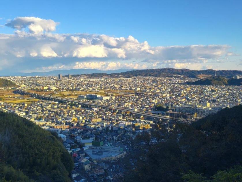
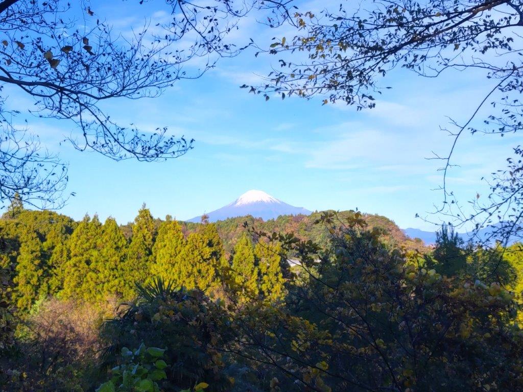
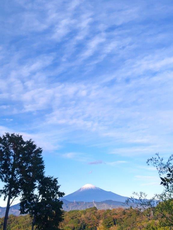
Hiking in the Fuji-Hakone-Izu National Park
富士箱根伊豆国立公園
To get to the start of the hike, I’d ride the shinkansen from Tokyo to Mishima, and there, change to the Izuhakone railway Sunzu line. At Shuzenji, I’d board a Tokai bus for Kawazu, and get off at Nikai waterfall, just past Amagi pass. For the return, I could catch a bus for Shuzenji from Joren Falls. If time allowed, I could get off at Yugashima onsen and drop by Kajika no Yu, a public bathhouse. The weather was supposed to be sunny but warm for the season, and I hoped I could keep cool walking under the tree leaves and next to rushing water.
Find Japan Hiking Maps on Japanwilds and subscribe to our newsletter
Taro Cedar (left) Joren Falls (right)

Upper (left) & Lower (right) Namesawa Gorge
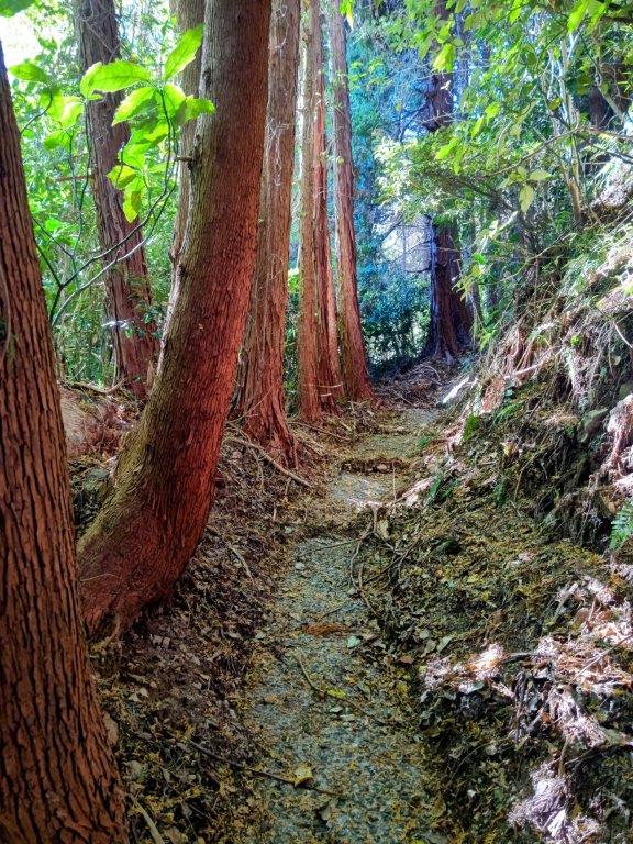
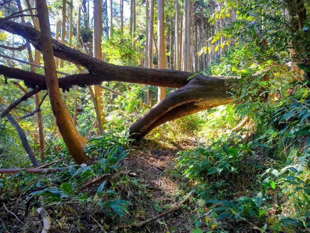
The start of the hike was the same as when I climbed Mt Noborio a couple of years ago. After checking out Nikai Waterfall (二階滝), the amount of water seemingly the same as before, I continued past the entrance of the Kanten forest road (寒天林道), and after about 30 minutes of mostly level walking along a paved road, I reached the entrance to the Old Amagi Tunnel (旧天城トンネル), just past 1130. Built in 1905, and nearly half a kilometer long, it’s one of the 100 famous road sections in Japan.


See a Slideshow of pictures of the Trail
Fortunately, the tunnel was equipped with some lighting (not always the case) and I didn’t need to use my headlight, which I had brought just in case. Still, it was dark enough to feel a little spooky, on top of the steady drip-drip of water from the ceiling. Once out of the tunnel, I continued along a gravel road, now heading slightly downhill. Everywhere I looked, the new green was in full effect, with even some mountain sakura in full bloom dotting the opposite ridge. A little past noon, I arrived at Suishhochi (水生地), a place I had been through before on my way down from Hatcho Pond.

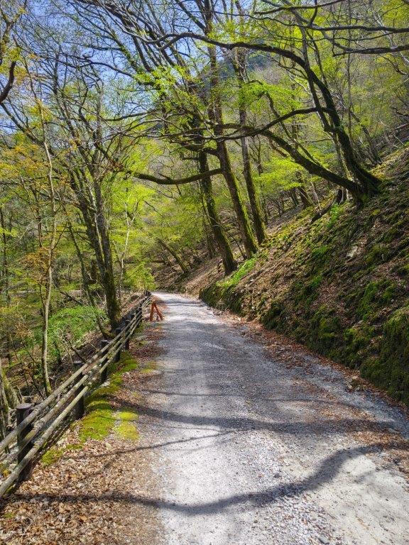
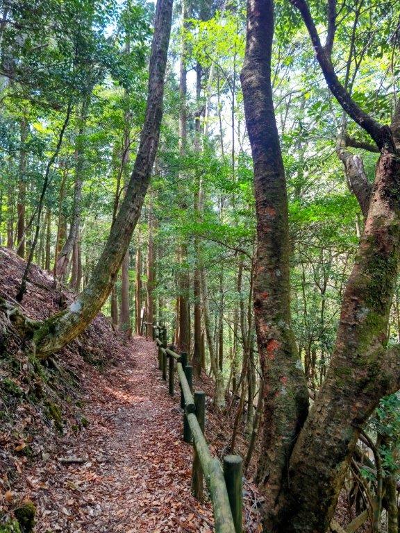
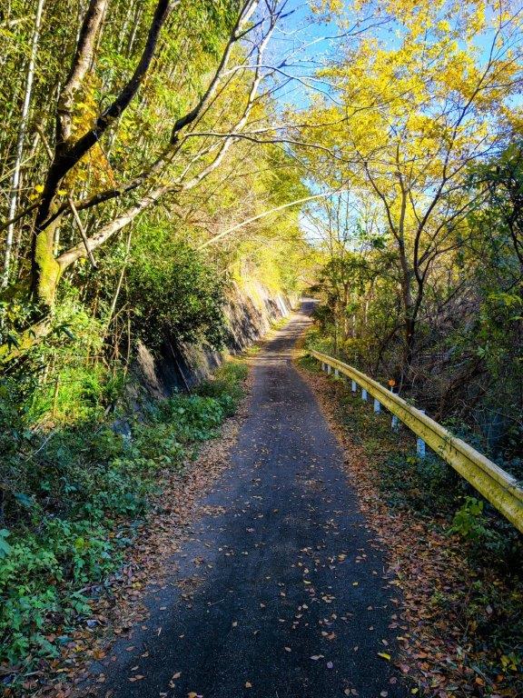
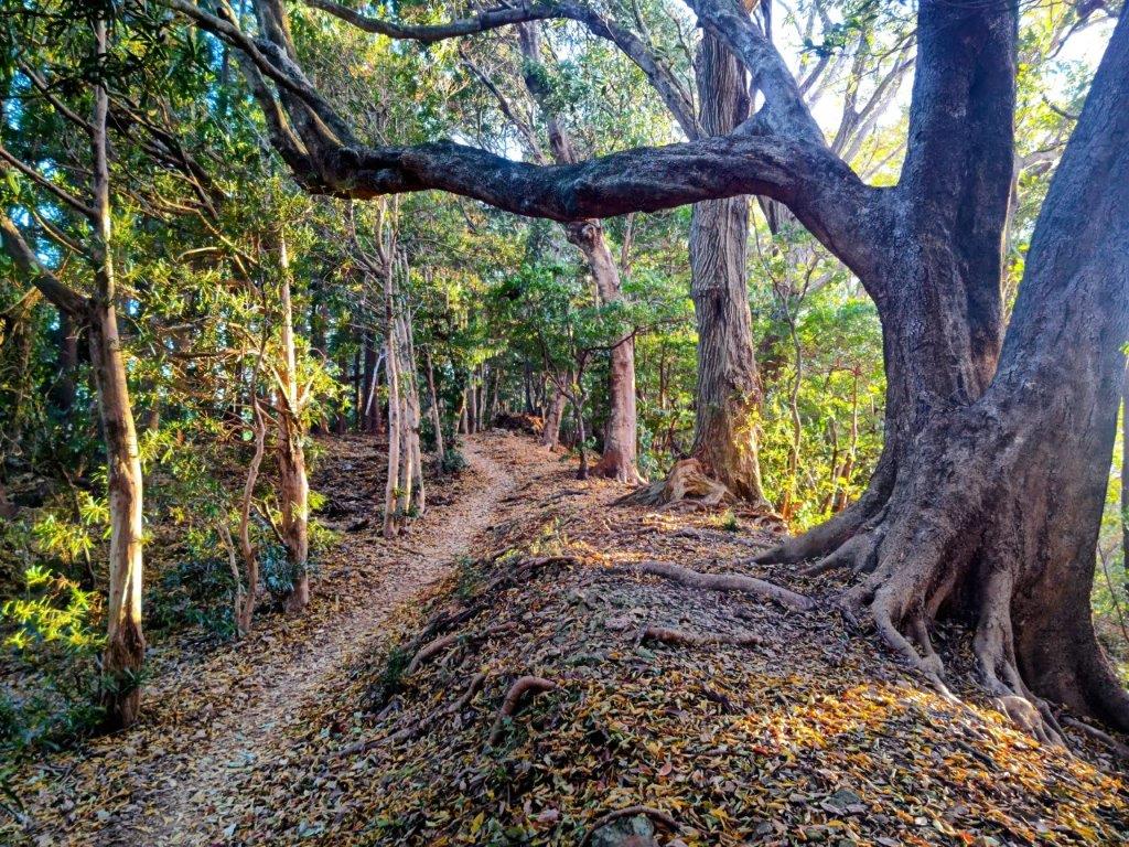
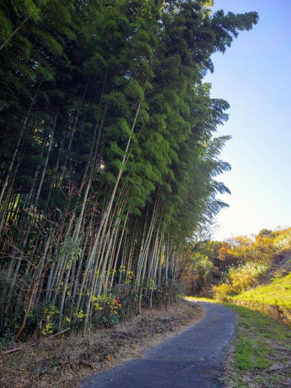
Walking between Kanten Forest Road and the Old Amagi Tunnel

Entrance of the Old Amagi Tunnel
Since today was a leisurely hike and I had ample time till my return bus, I decided to make a short round trip to Namako rock (なまこ岩). Although the rock itself was nothing special, I enjoyed the walk up and down the narrow valley, alongside a rushing stream, surrounded by moss-covered rocks and mitsumata flowers (ミツマタ), slightly past their prime. At 1pm, I reached the Suishochi parking lot and headed down some steps leading from the road to a trail next to a river. I had good views of the fast-flowing water on the left side, bright green wasabi fields covering the opposite bank. After a short while, I crossed the river over a metal bridge. The trail then headed into the forest and hugged the steeped forested mountain ridge. At 1h30, I came to a wide-open space called Yuyu-no-mori (遊々の森).

Walking through the Old Amagi Tunnel
Walking between the Old Amagi Tunnel and Suishochi
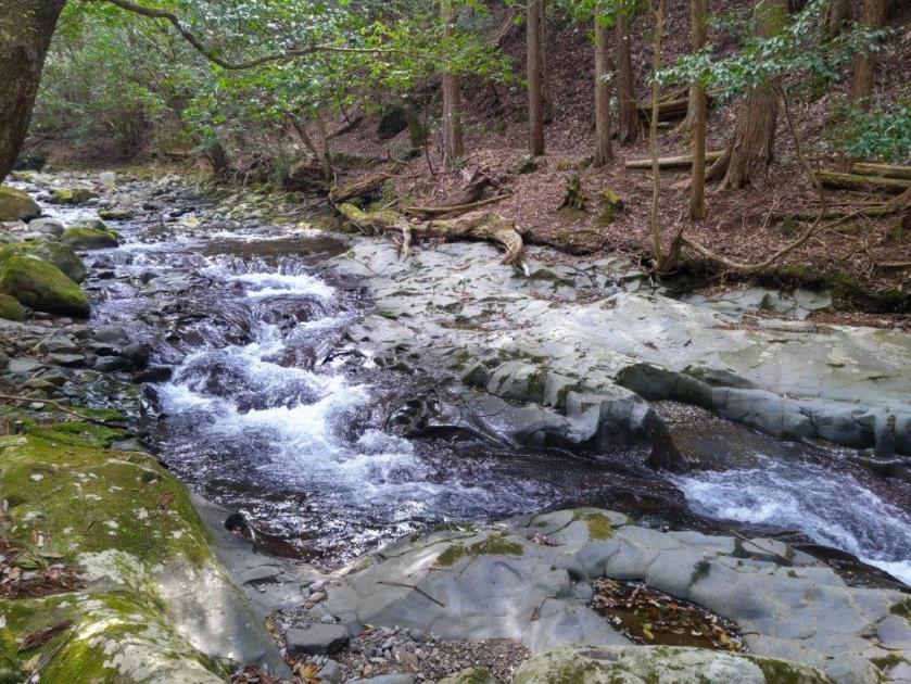
Since there was a bench in the shade of a towering cedar tree in one corner, I decided to take a break for lunch. Opposite was a rusty old train on display, a reminder of a time when a railway ran through the valley; behind me, I could hear the rushing water of the river; on my right, I could see the white bell-shaped flowers of the “Dodan Tsutsuji” (ドウダンツツジ) bobbing in the breeze. At 2pm, I set off again. I soon recrossed the river, and was once again walking along its right bank, arguably its best side, occasionally stopping to admire small waterfalls, slowing the rapid flow of water. As I had expected it remained pleasantly cool, despite temperatures being in the high twenties.
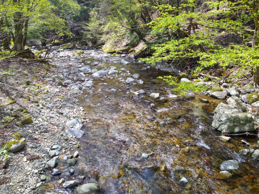
View of the River from the First Crossing
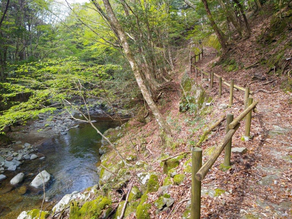
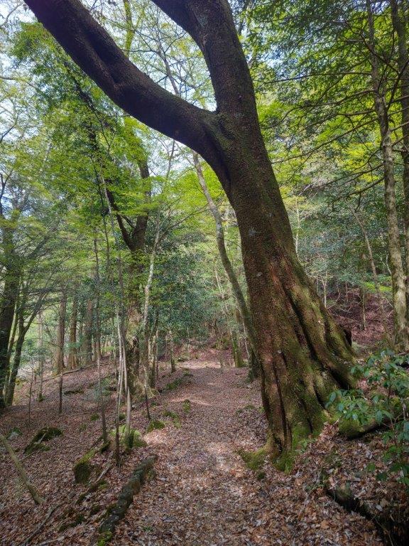
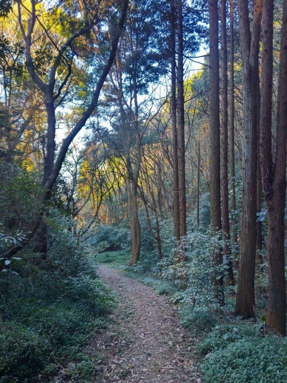
Following the Right Bank of the River
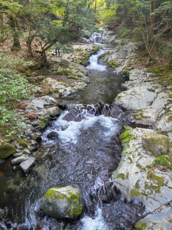
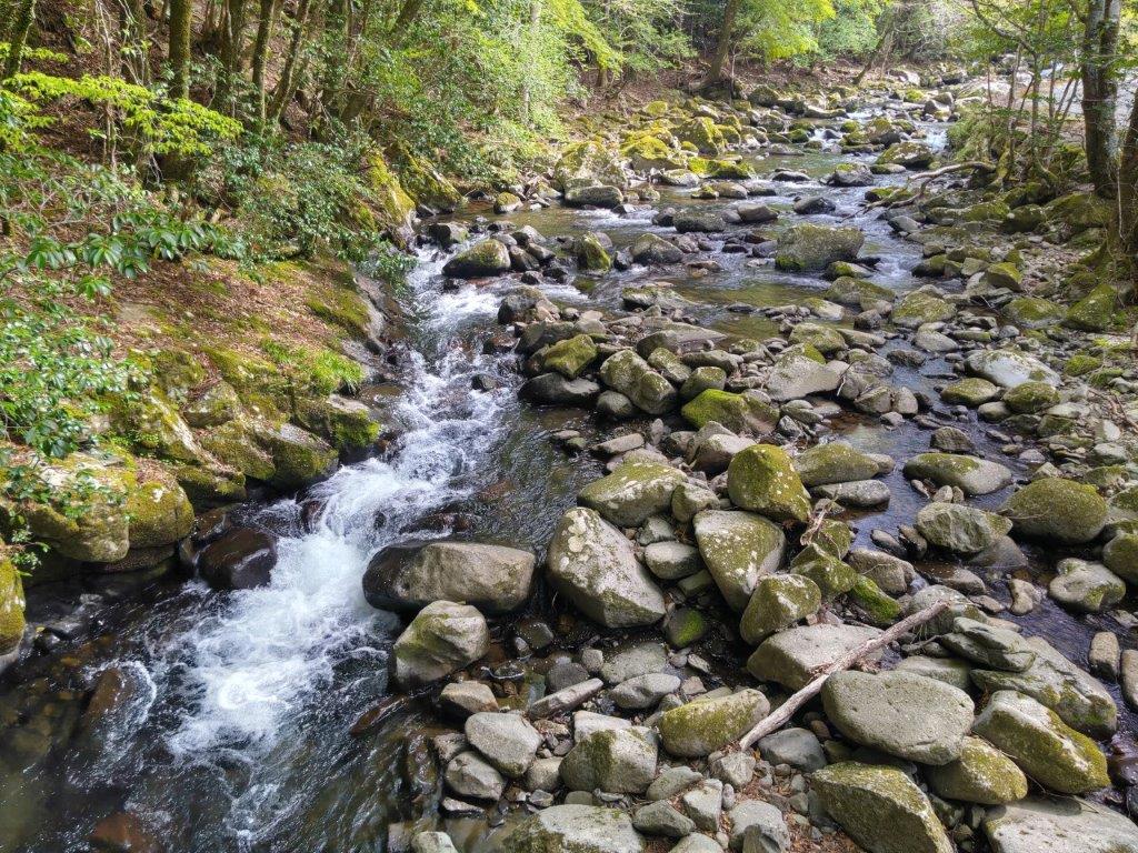
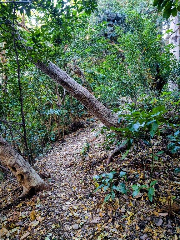
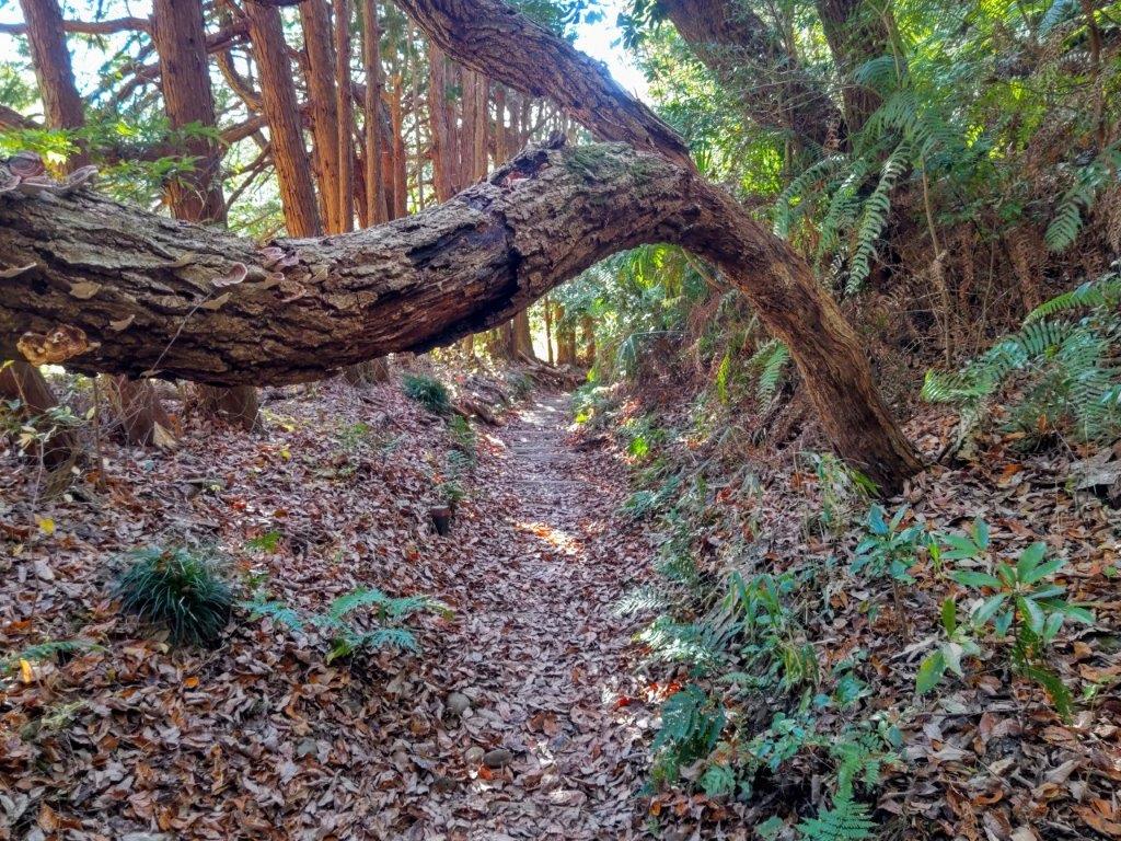
This was probably the best part of the today’s hike. The trail was well-maintained and easy to follow, thanks to the numerous and easy to spot “Odoriko Trail” signposts, as well as the detailed information boards. I was surprised to see few other hikers, probably because it was still early in the season. At 2h30, after crossing another bridge, I arrived at the start of Namesawa Gorge (滑沢渓谷). Here I made another round-trip up a hiking trail on the left side. It criss crossed a road a few times, but mostly followed a tributary stream. Here I spotted someone flying a drone over the gorge, most likely getting some spectacular footage.

Small Bridge along the Odoriko Trail
Third Bridge Crossing over the River
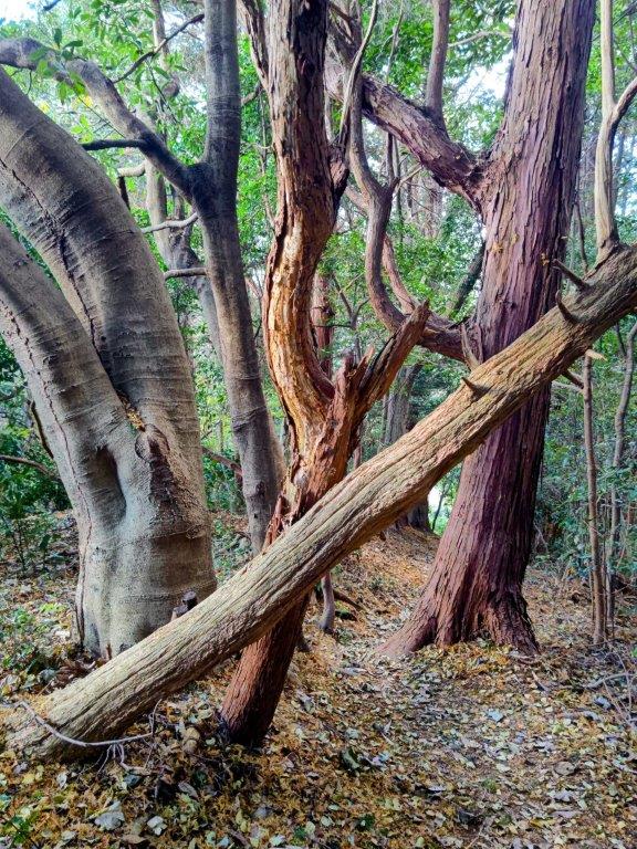
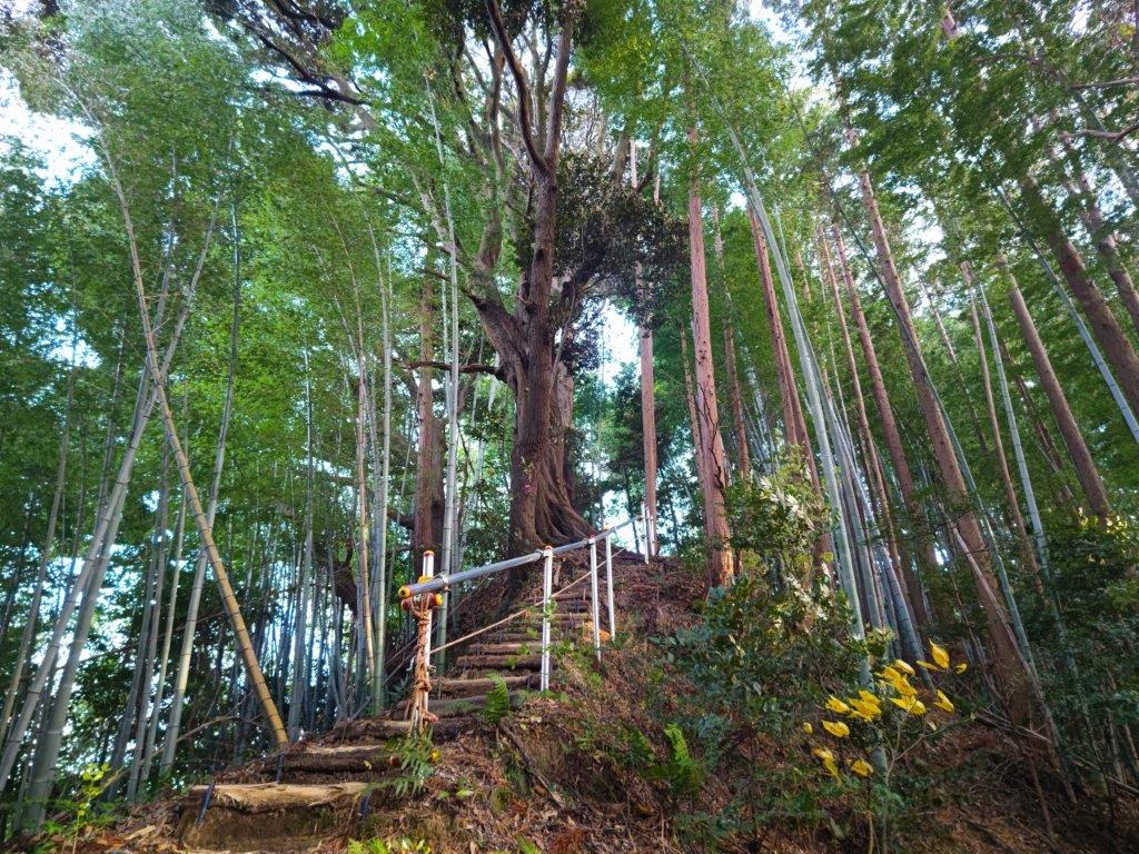
By this time of the day, the valley, oriented north-south, was in the shade. However, as I made my way up the mountain side, some sunlight finally filtered over the east ridge, lighting up the frothing water in a spectacular manner. After a while the trail merged with a forest road, and soon after, I reached my objective, Tarosugi (太郎杉), a giant cedar, 450 years old and 53m high. It’s also one of the 100 famous trees of Japan (3rd highest in the list, the highest being a tree in Akita, 58m). It stood to the right of the trail, in a small clearing at the top of a log staircase.

Wasabi Fields between Namesawa Gorge and Tarosugi
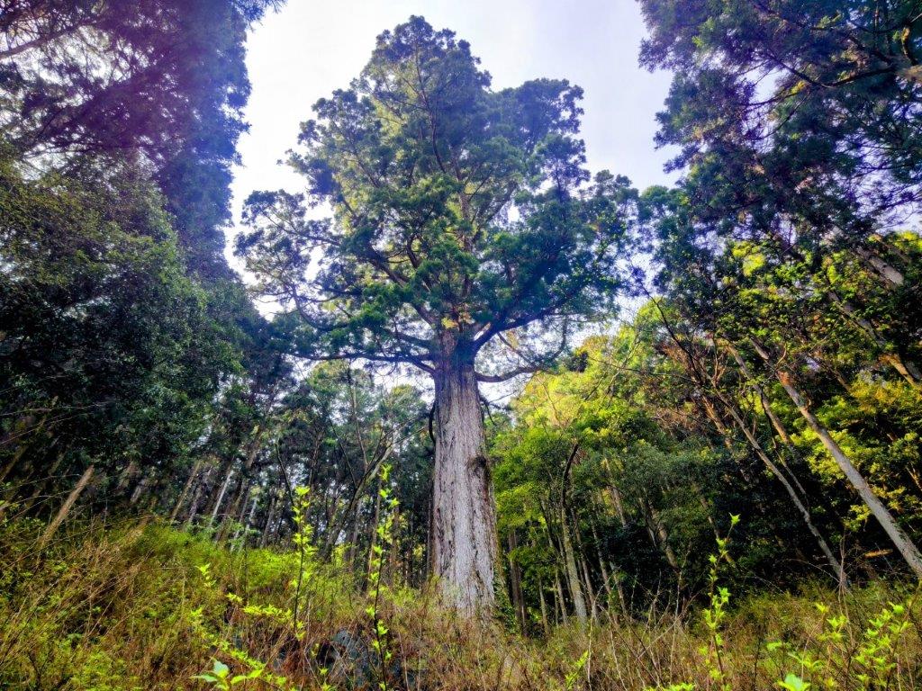
Looking up at Tarosugi
I was totally stunned by the view of this ancient giant, the effect amplified by looking up at it from below, as well as no other tree in the vicinity coming close to its majestic height. I had already visited the giant cedars in Yakushima, but there, every tree towers above you and it’s hard to grasp how tall they really are. On the way up, I had been wondering if it would be worth it, and I was definitely very happy I had made the effort. Although the tree was surrounded by a fence, it was possible to walk around it, and thus I could check out this marvel of nature from every angle. Once done, I legged it back to the entrance of the gorge, as I had now fallen slightly behind schedule. A little past 3pm, I reached the roadside station Amagi-goe (道の駅 天城越え) where I crossed the road.
Rapids along Namesawa Gorge

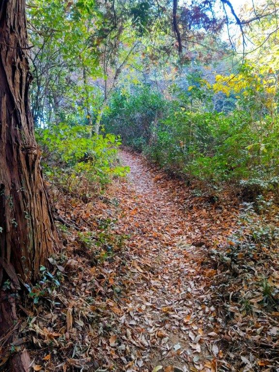
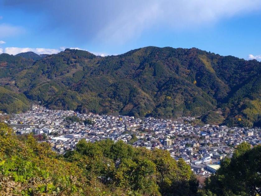
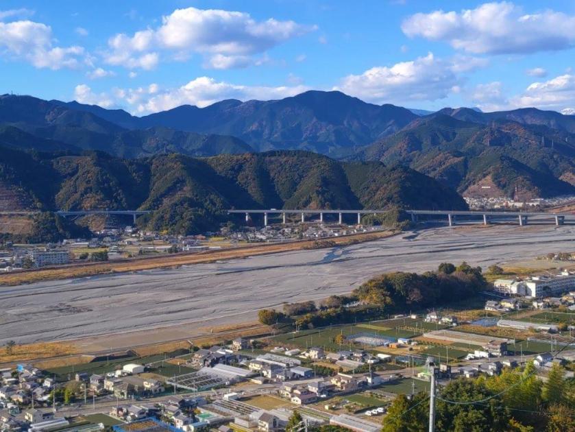
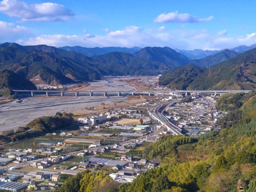
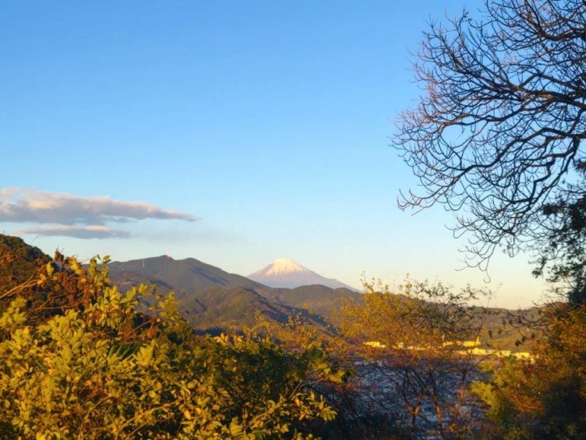
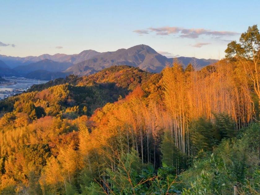
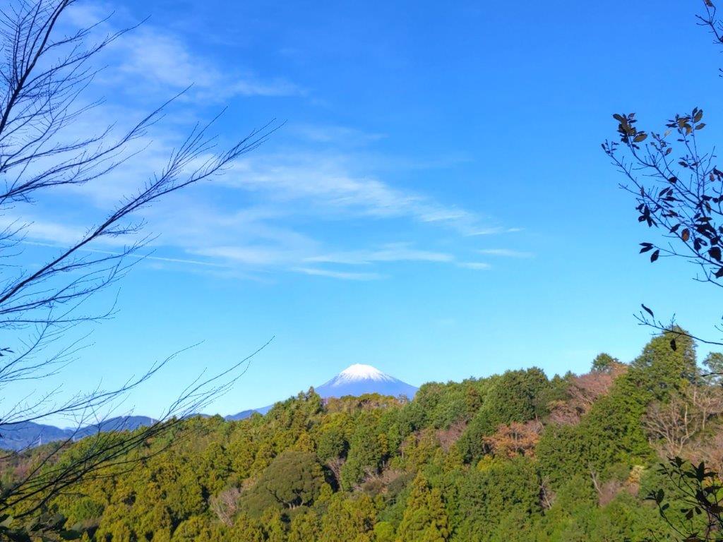
One of the Few Mountain Views of the Hike
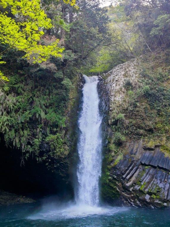
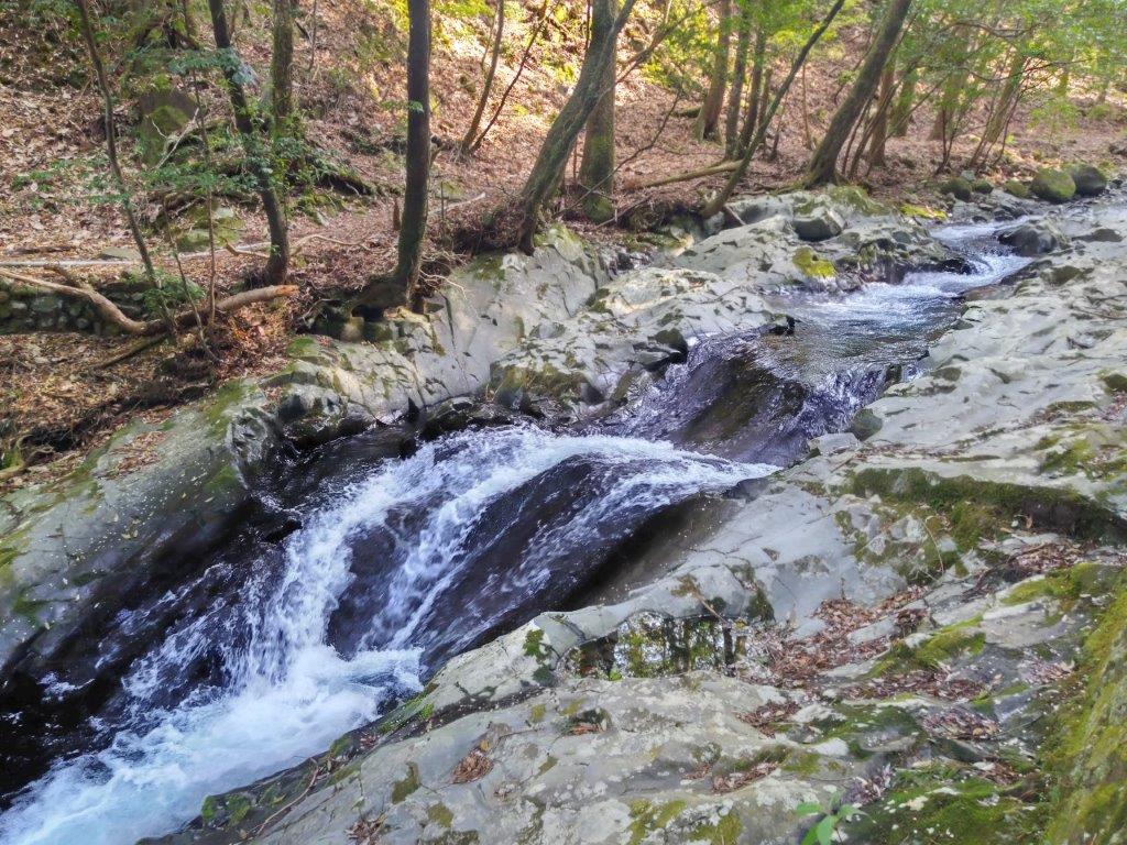
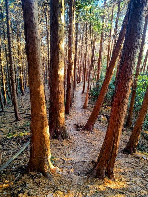
The final part of the hike followed a path up and down through forest before reaching a paved road at the top of a wooden staircase, a calming stroll after an exciting moment. The road led me through a somber cedar forest and then through a residential area. The elevation had dropped from over 700m around the pass, to about 300m, and for the first time today, I felt quite hot under the afternoon sun. I arrived back at the main road just before 4pm, and after recrossing it, headed down a long flight of steps. At the base of the steps, past yet another wasabi field, I arrived at the last highlight of the day, Joren Falls (浄蓮の滝), 25 meters high and the largest waterfall on Mt Amagi, as well as one of the 100 famous waterfalls of Japan.

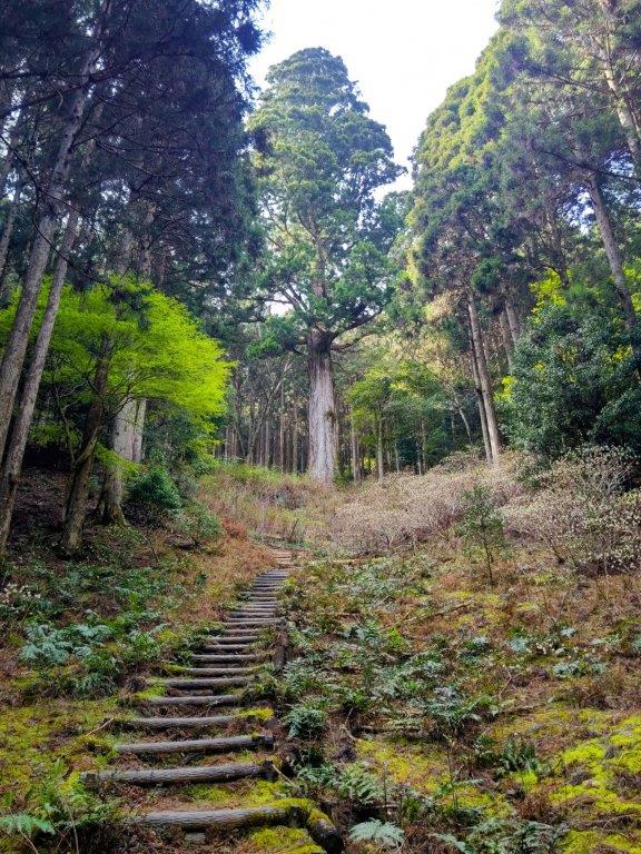
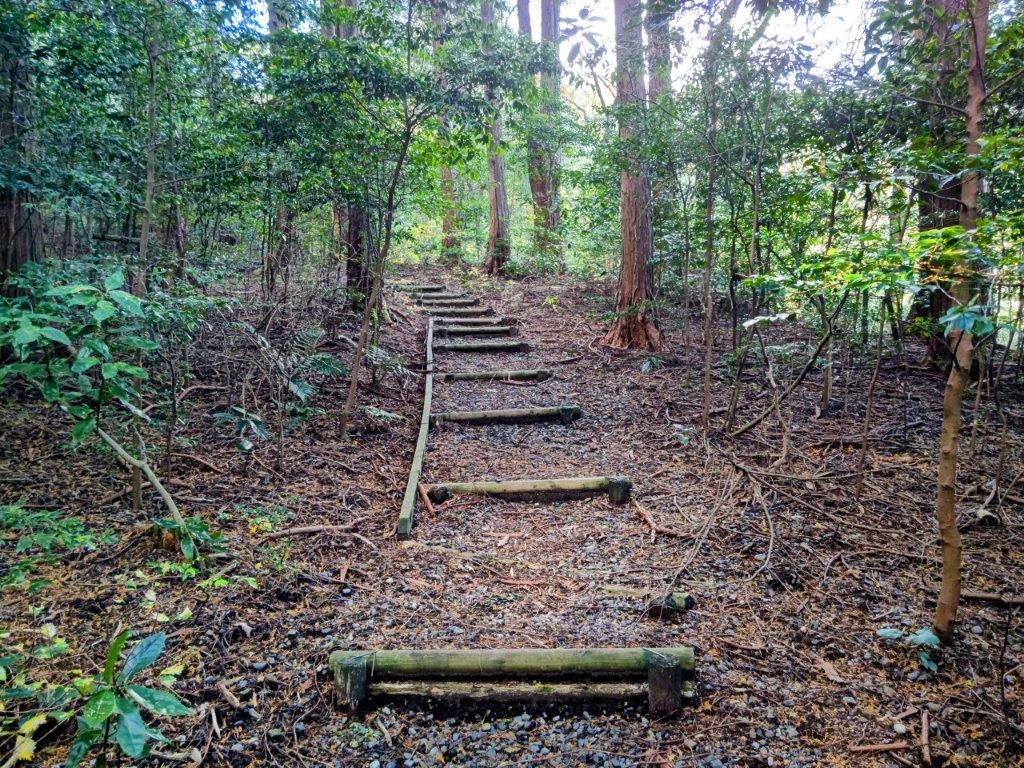
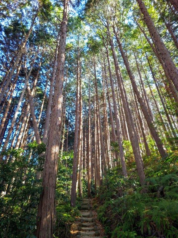
Wooden Staircase near the End of the Hike
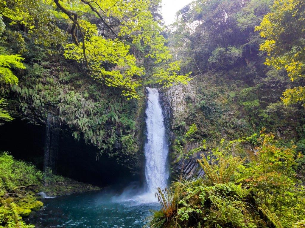
Joren Falls Surrounded by the New Spring Green
I admired the thundering water, as it crashed into a blue-green pool, surrounded by bright green leaves, and then made my way back up the steps. It was a short bus ride, followed by a short walk to Kajika-no-yu (河鹿の湯) in Yume-ga-shima Onsen (島温泉郷) , and although there was no outside bath, I had the indoor pool mostly to myself. I caught another bus closer to the public bath and at 5h30, I was back at Shuzenji station. There, I boarded the anime-themed train for the half an hour ride back to Mishima, from where it was less than an hour by shinkansen to Tokyo station.
Watch a Video of the Hike
Watch the Video of the Hike on YouTube


See a Slideshow of More Pictures of the Hike


You must be logged in to post a comment.