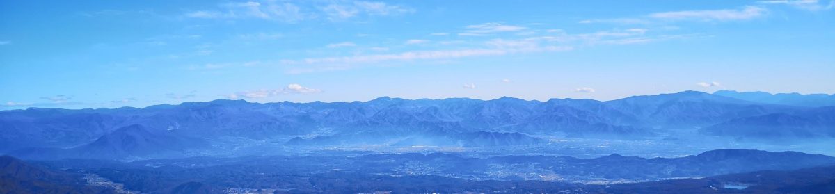
I wanted to do some hiking in Niigata since it had been 4 years since my last hike there. I saw this mountain from an observation deck in Niigata city, while traveling through the area 4 months earlier; since it was on my list of future hikes, I decided to climb it during a break in the rainy season. Although far from Tokyo, the shinkansen would allow me to do it as a day trip. From the top, I could get a view of the mountains of central Niigata, as well as Sado island. Since the route was up and down the same way, I would walk up and descend via the ropeway. This would give me time to check out the shrine at the base, soak in a hot spring bath and sample some local beers before heading back.
Hiking in the Sado-Yahiko-Yoneyama Quasi-National Park
佐渡弥彦米山国定公園
To get to the start of the hike, I’d ride the shinkansen from Ueno to Tsubamesanjo station, and then transfer to the Yahiko line for the half an hour ride to Yahiko station; from there it was a short walk through the town to the trail entrance behind Yahiko Shrine; I’d do the same route in reverse for the return. The weather was supposed to be sunny all day, with temperatures in the mid-twenties at the mountain base; combined with the early summer humidity, it promised to be a sweaty climb, although I expected the summit area to be cooler. I was looking forward to visiting a new area with new views.
Unfortunately my phone suffered a failure shortly after the hike and all photos and videos were lost, except the ones shared on social media during the hike.
Find my Hikes on Japanwilds
Find Japan Hiking Maps on Japanwilds and subscribe to our newsletter
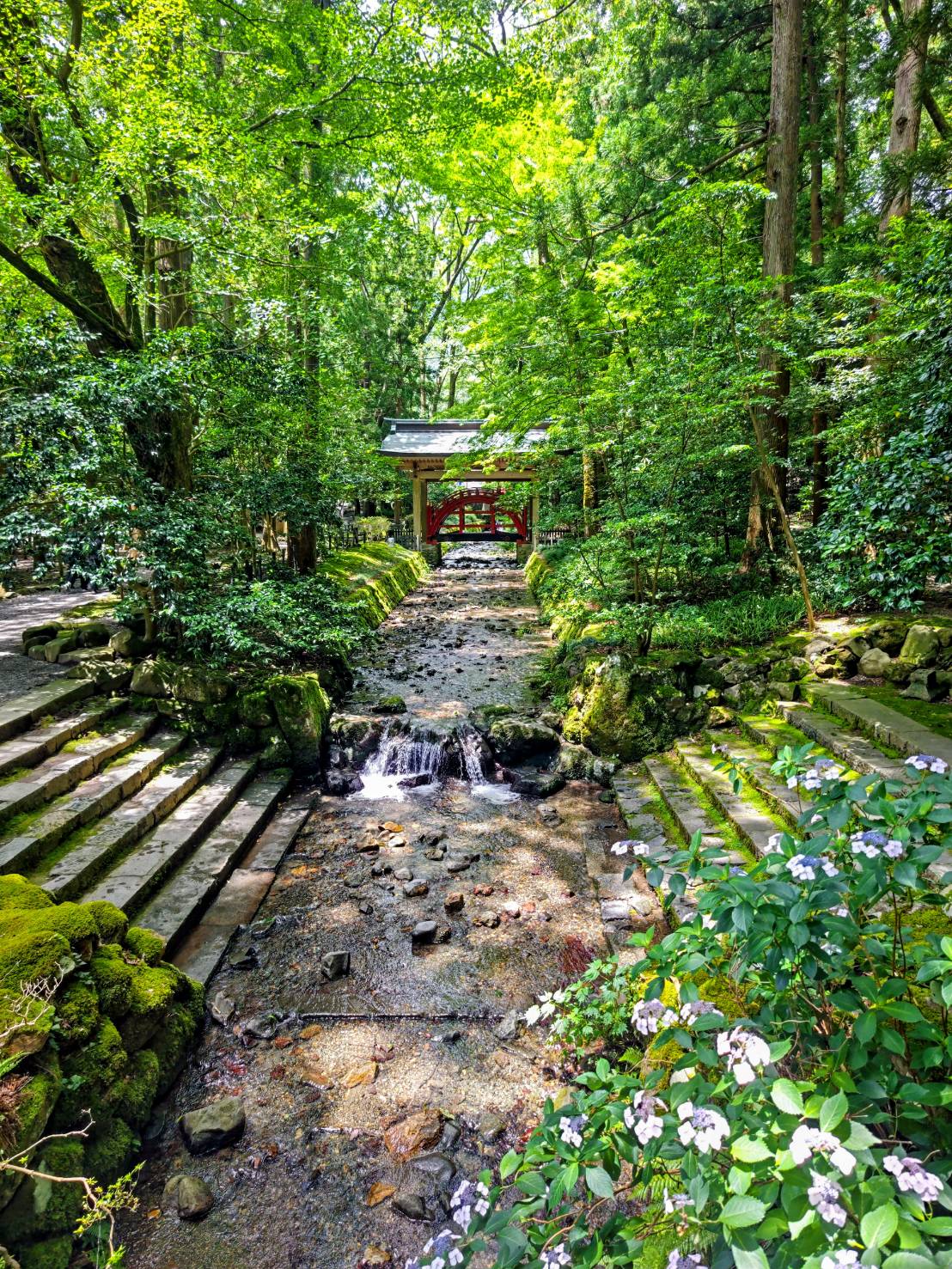
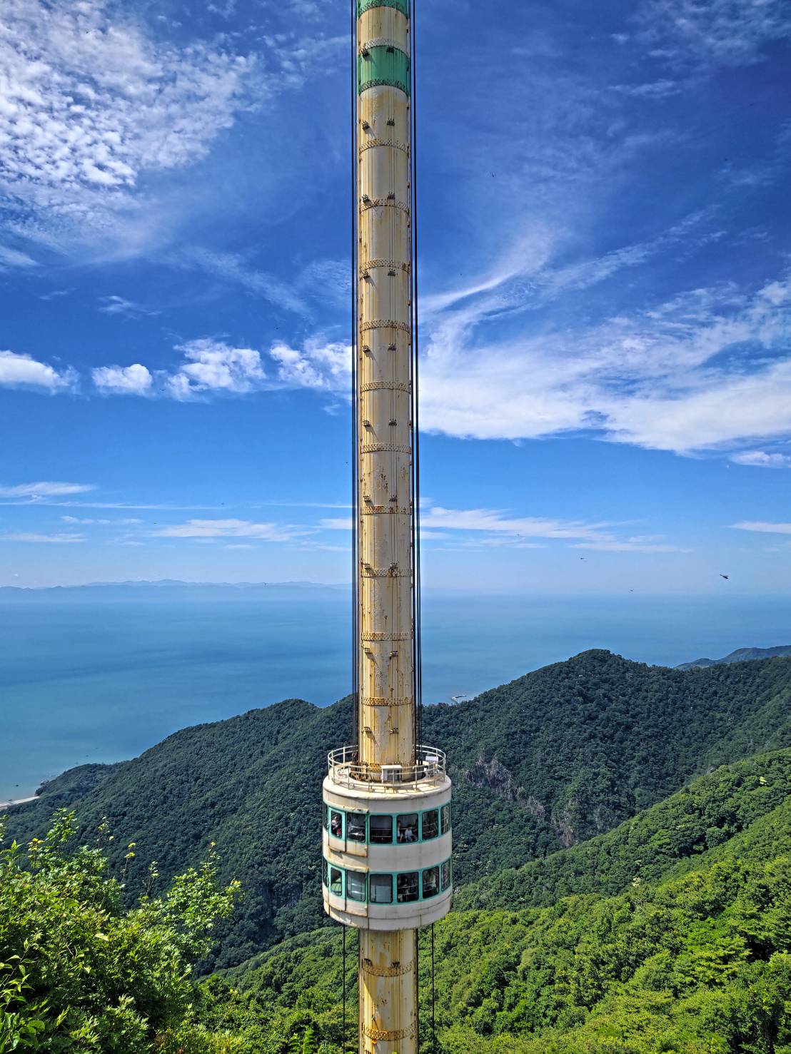
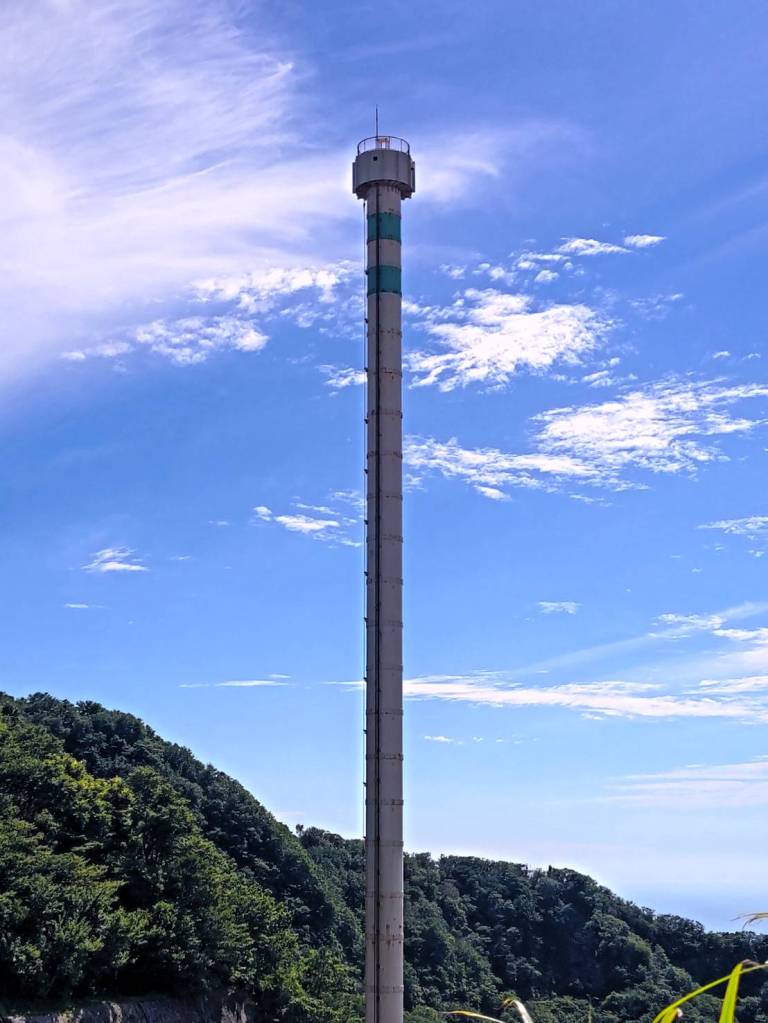
Yahiko Shrine (left) Panorama Tower (right)
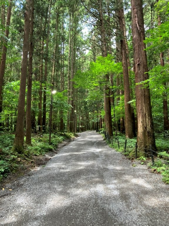
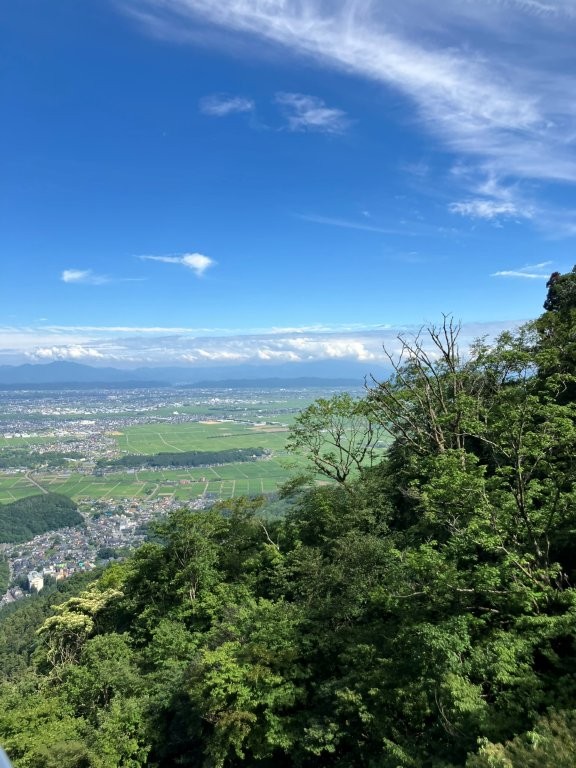
Start of the Hike (left) First Views (right)
I left Tokyo under leaden skies, a reminder that two typhoons had passed by in quick succession the previous day. A little before 10am, I arrived at sunny Tsubamesanjo (燕三条), famous for its cutlery and kitchenware; during the transfer to the local line, I could admire some of the knives on display inside the small station building. As the train cut across the Echigo Plain, I could see the shape of Mt Yahiko gradually filling the west horizon: it was a vivid reminder that although the summit is relatively low, the hike starts from around sea level. A little after 10h30, I got off at Yahiko station at the end of the line. After buying supplies at a nearby convenience store, I made my way to the shrine area.
Start of the Omotesando Route
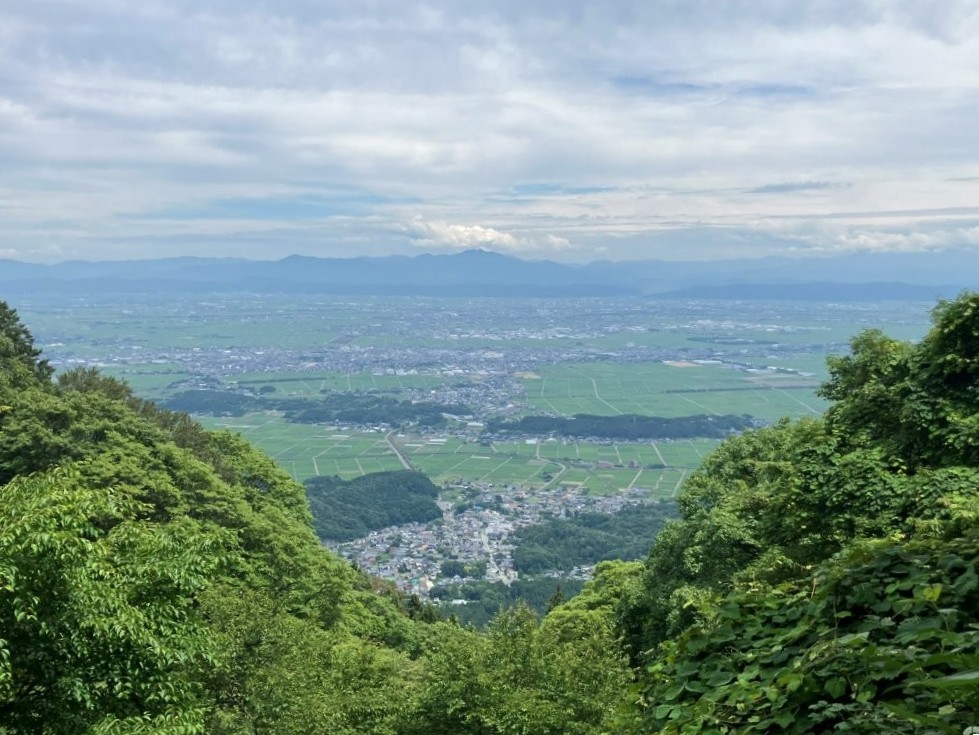
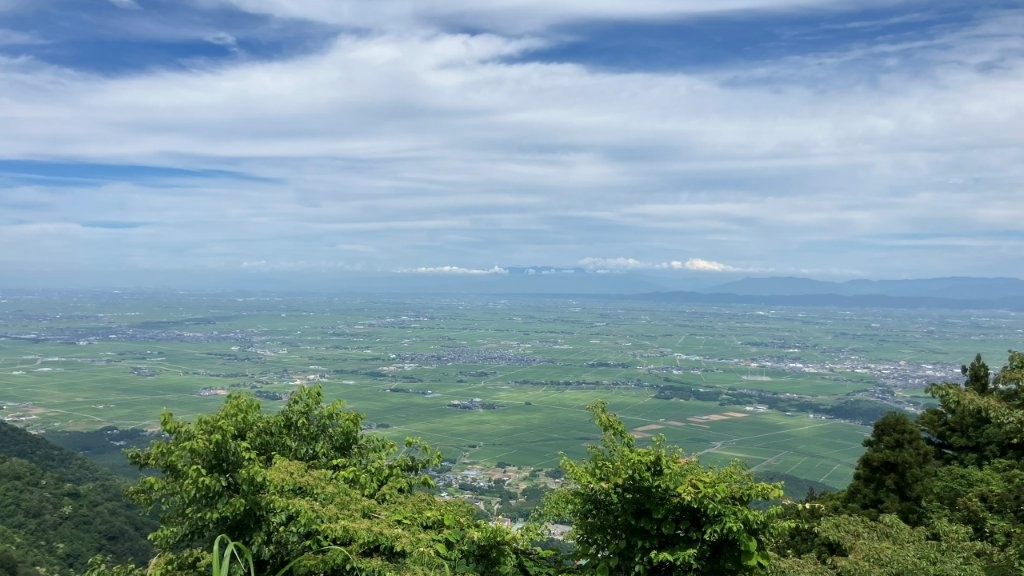
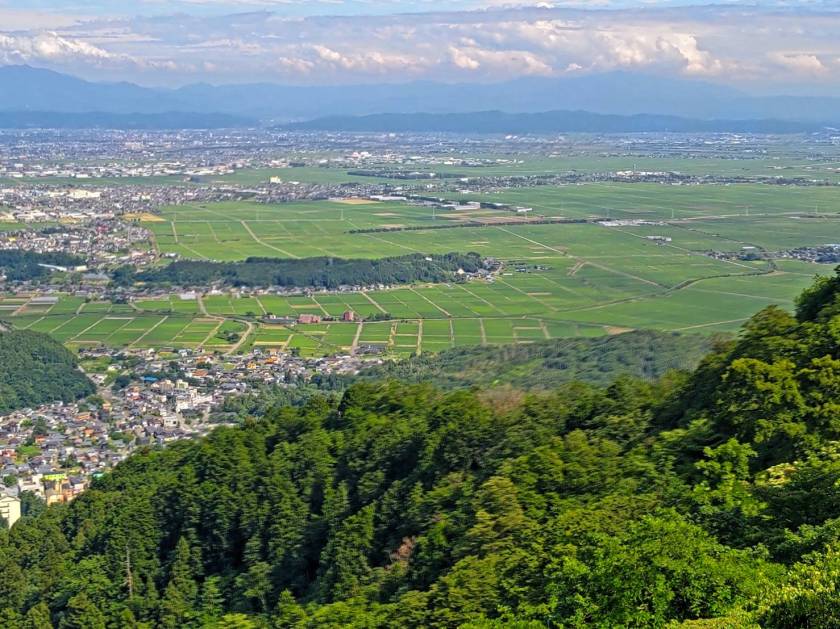
View of the Echigo Plain and Echigo Mountains
I was transfixed by the magical scenery from Ishibashi Bridge inside Yahiko Shrine (彌彦神社): dense forest through which flowed a stone-lined stream, with in the background a red arched bridge. After reaching the main shrine building, I turned left, connecting with Manyo no Michi (万葉の道), a paved road under tall cedars. I then turned left onto a dirt road, the entrance of the Omotesando route (表参道コース) marked by a stone Shinto gate. Soon after, I reached a switchback trail, the start of the climbing section, the dark cedars now replaced by the green spring of the mixed forest. A few minutes later, I passed the first out of nine stations leading to the summit, each with their own bench. It was already past noon and I was slightly behind schedule so I had to step up the pace, the cool shade of the trees offsetting the gradually increasing temperatures.
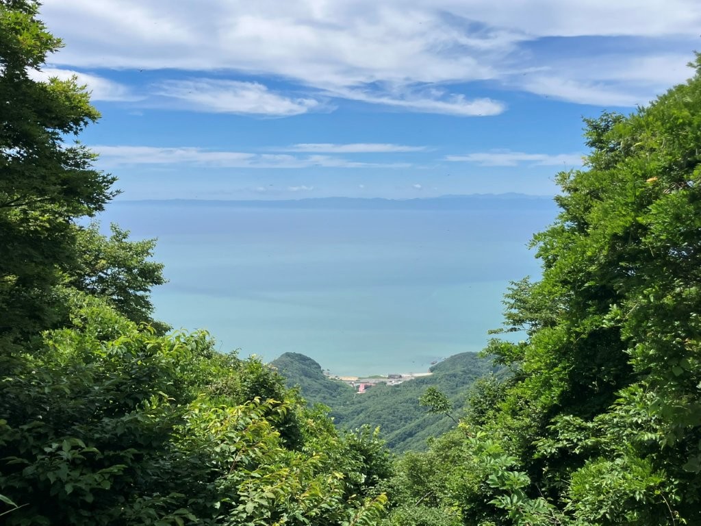
View of the Sea of Japan and Sado Island
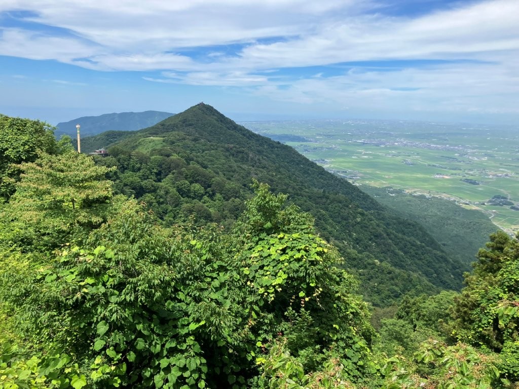
Mt Taho from Mt Yahiko
The trail became steeper and steeper, hand rails and log steps providing assistance when needed. I passed people of all ages hiking up and down, which reassured me in my choice to visit in this season. After a particularly steep bit, I passed the 4th station and another stone Shinto gate in the trees; through a gap in the leaves, I had a glimpse of Mt Amagoi (雨乞山) to the south. I then reached the rockiest part of today’s hike. Fortunately, it was relatively level and hugged the mountain side. I proceeded with caution till the trail became easier to walk again. A little before 1pm, I arrived at an open shelter at Satomi no Matsu (里見の松) with a view on the east side. It was a little hazy but I could make out the blue outline of the Echigo mountains, the only recognizable peak being Mt Awagatake (粟ヶ岳), beyond the green fields of the Echigo Plain. I continued without a break, and after a little more climbing reached the ridgetop, station 9, from where I had a view to the west.
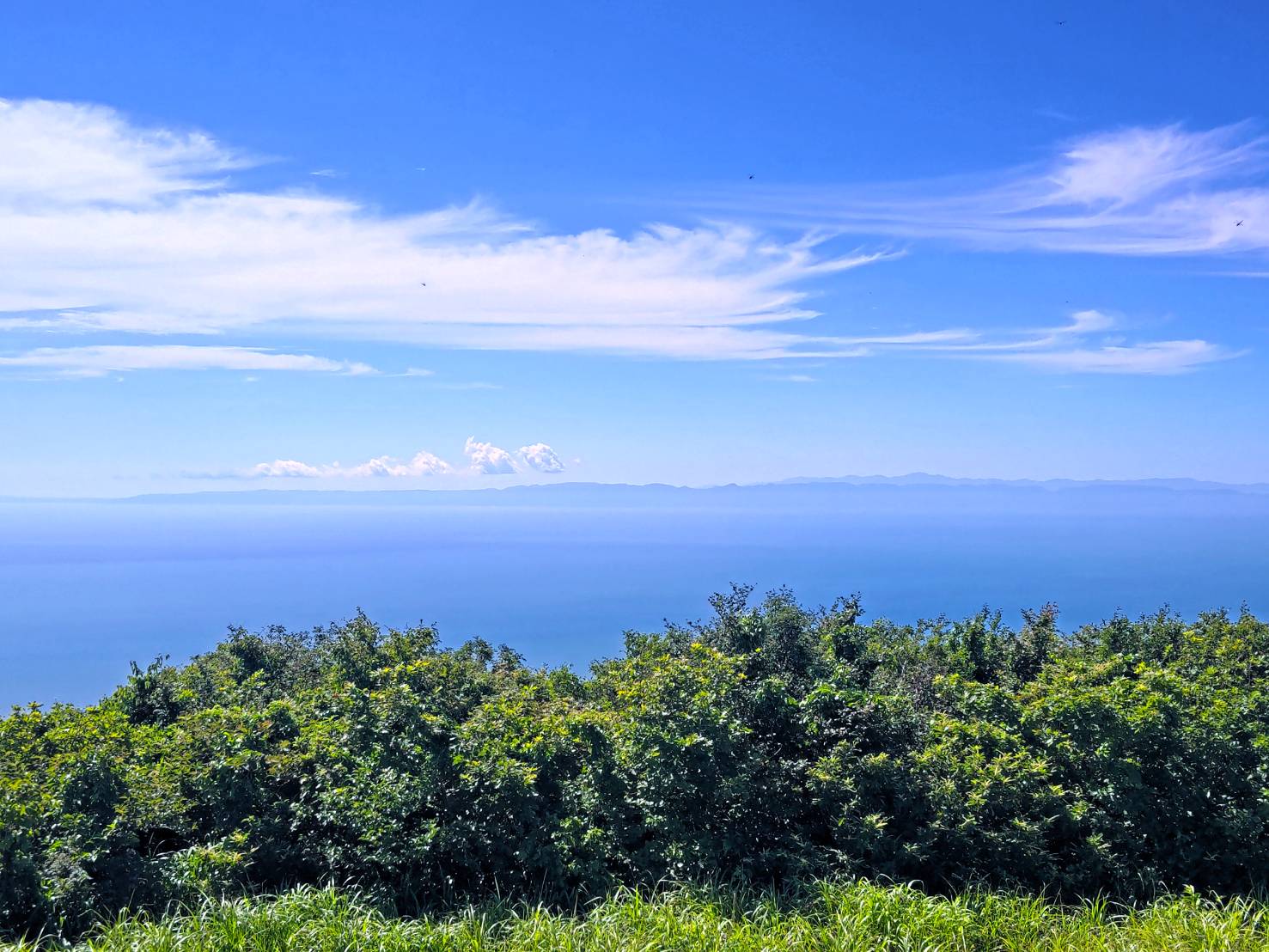
View of Sado Island from the Odaira Recreation Area
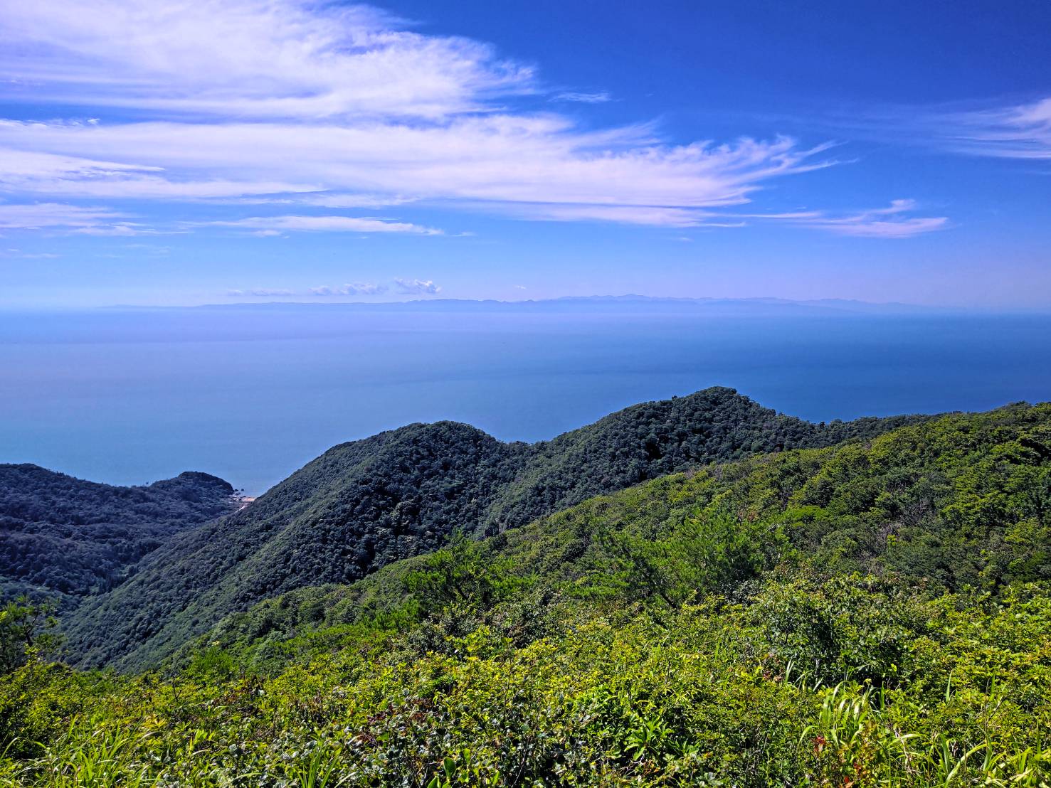
West Side of Mt Yahiko
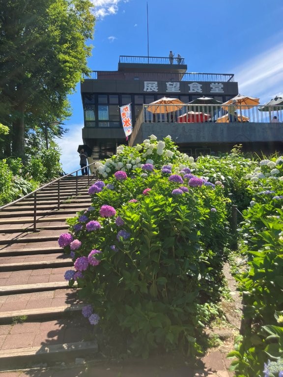
I was excited to get my first closeup view of the Sea of Japan with Sado island in the background. I headed south along a gently climbing path. At 1h30 I reached an open space with another stone Shinto gate, marking the entrance of Goshinbyo (御神廟), the upper sanctuary of Yahiko shrine. From here, I had a view north of the neighbouring peak of Mt. Taho (多宝山), part of the Yahiko massif; this is the main view since the summit is surrounded by vegetation. I made the short roundtrip to the top of Mt Yahiko (弥彦山 やひこやま yahiko-yama), one of Niigata’s 100 Famous Mountains, and then headed back along the ridgeline to the Yahiko Summit park (弥彦山頂公園). I skipped the restaurant, rotating observation tower and retro amusement area; instead, I continued straight, past blue and white hydrangeas in full bloom in this season, down some steps to Mt Yahiko Skyline (弥彦山スカイライン) and then up a paved path leading to the Odaira Recreation area (弥彦山大平園地), where I had a wide view on the west side.
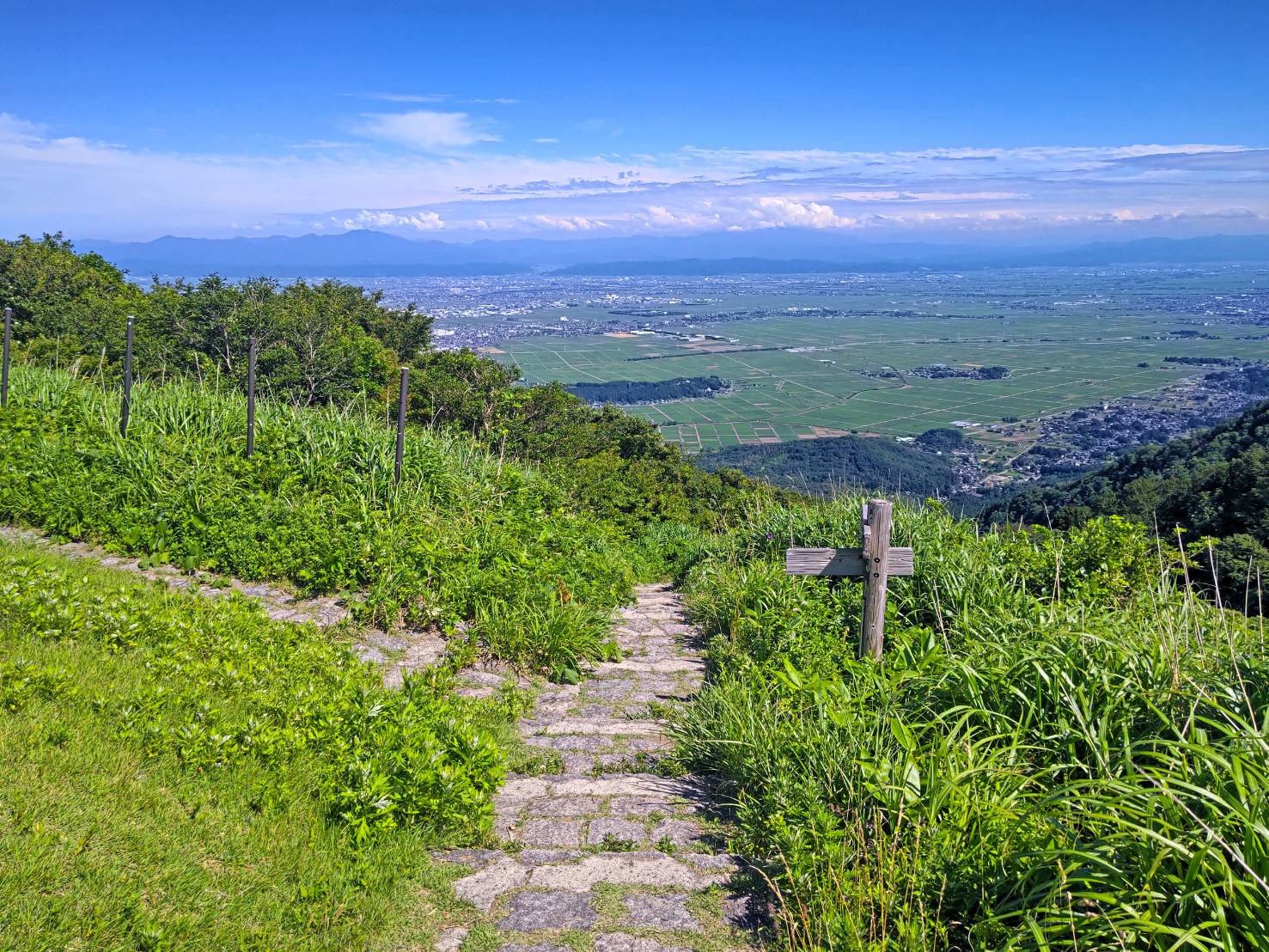
Heading back from the Odaira Recreation Area
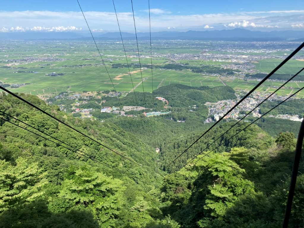
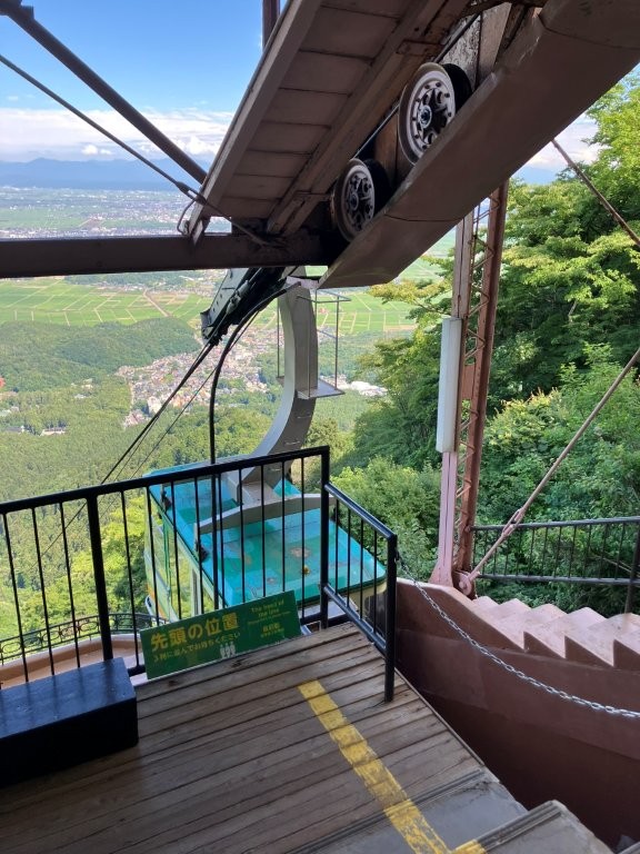
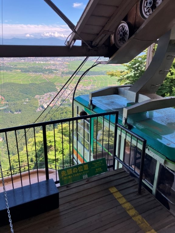
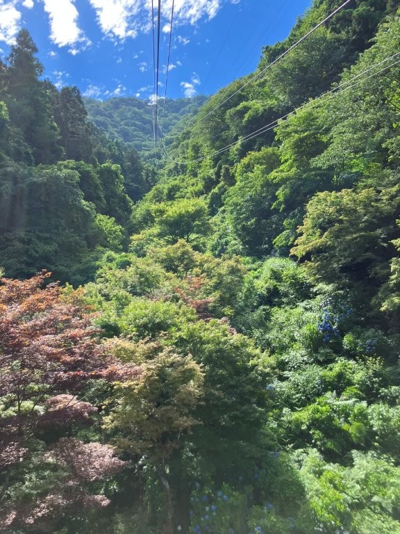
Riding the Mt Yahiko Ropeway down the Mountain
This was the best view of the day, as I could admire the entire length of Sado island (佐渡島), surrounded by light blue sea; Mt Kinpoku (金北山), its highest peak, was also visible. Since it was past 2pm, I sat down for a late lunch with a view; I was glad I had brought my parasol to shade me from the hot afternoon sun. At 2h30, I retraced my steps to the Summit Park and boarded the Mt Yahiko Ropeway (弥彦山ロープウェイ) for the 5-minute ride to the mountain base where I transferred to the free shuttle bus for Yahiko Shrine. I then made my way to the nearby Yahikokan Myogaya (弥彦館 冥加屋) for a refreshing hot spring bath. I especially appreciated the kind innkeepers who provided me with hot tea and sweets, included in the price, in their retro-themed guest lounge. At 4pm, I walked down the street to Yahiko Brewing (弥彦ブリューイング) where I had the tasting flight allowing me to sample 3 of the 6 beers on tap. At 5pm, I headed back to the station where I caught the train for Tsubamesanjo; there I boarded the shinkansen for the 100-minute trip back to Tokyo.
See More Pictures of the Hike

