Mt Taka (1668m) & the Chuzenji Lake Nature Trail, Nikko City, Tochigi Prefecture

Since climbing Mt Shazan last summer, I had been wanting to return and explore the shoreline of Chuzenji lake. Although circling the entire lake would be too long for a day hike, it was possible to do only the western and southern sides, away from the main road, and also include a small summit on the way. Since I visit Oku-Nikko nearly every year, I was familiar with the way there and back; I could use a bus to get to the start of the hike, and also for the return. My main concern was to finish the hike early enough so that I could get back to Nikko station in time for the last limited express back to Tokyo. The rainy season hadn’t arrived yet and blues skies were forecast for the entire Kanto area, so I was looking forward to exploring a new corner of “deep Nikko” in good weather.

Hiking in the Nikko National Park 日光国立公園

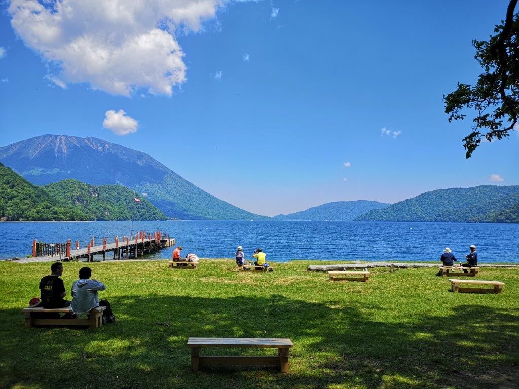
Sightseers taking a break at the western end of Chuzenji lake

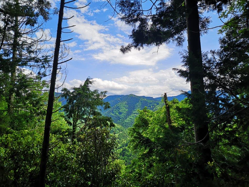
The weather was as forecast and I could see Mt Nantai and Mt Nyoho from my seat on the Nikko line. At 9h30 I boarded a bus for Yumoto-Onsen; one hour later I got off at the Ryuzu falls (1355m above sea level), and just before 11am I set off on my hike. The surrounding forest was beautiful and the trail was well-maintained: it definitely felt like I were hiking inside a National Park. There were few views from the trail: I had a glimpse through the trees of Sengohara plain to the north and of Chuzenji lake to the south. The sound of buzzing insects was deafening; luckily I had brought repellent with me today.

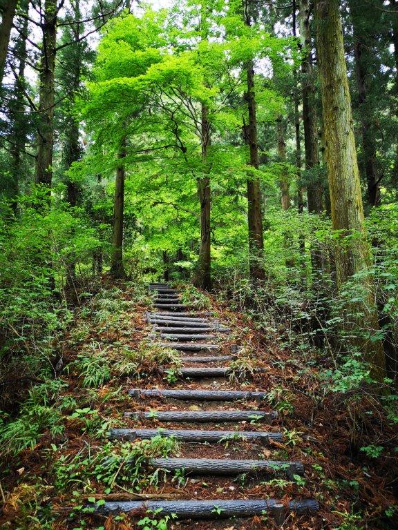
Hiking inside the Nikko National Park
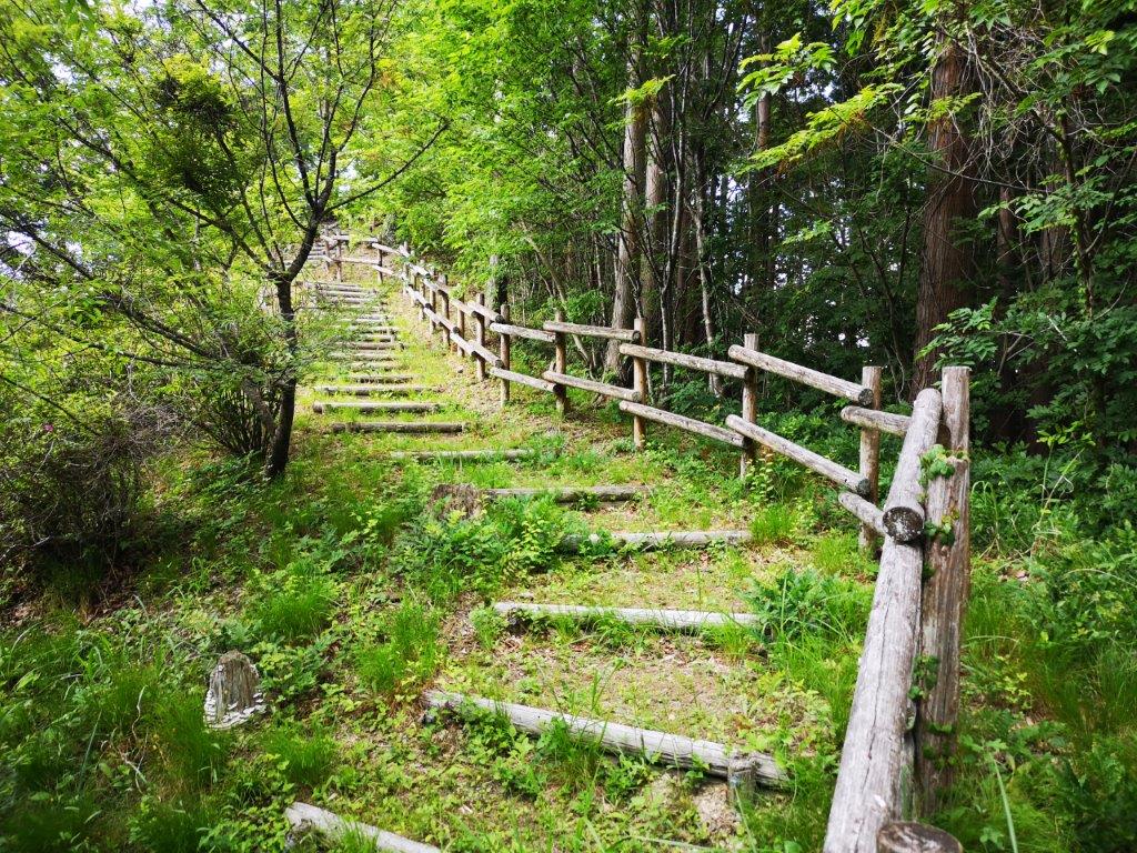
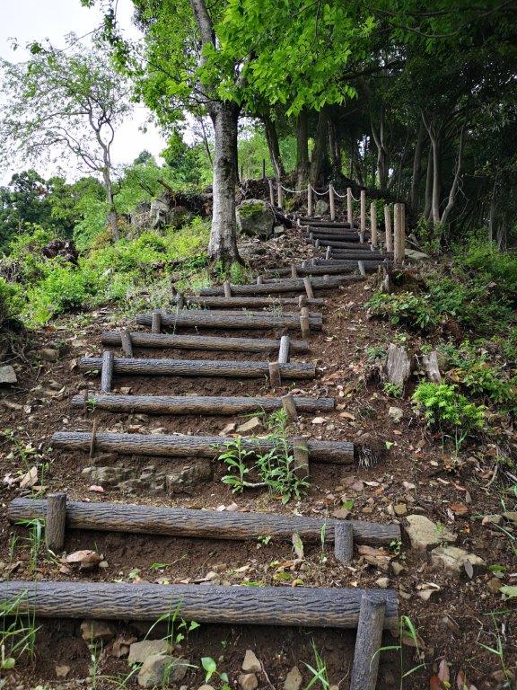
Hiking up Mt Taka

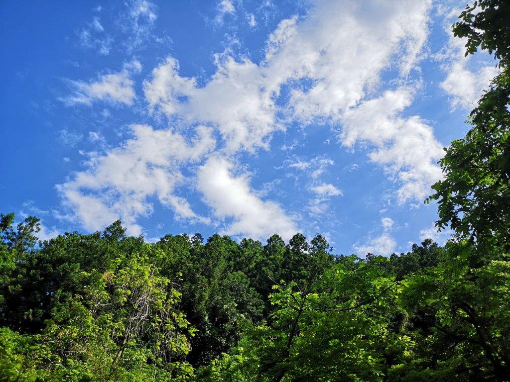
It took me less than an hour to reach the top of Mt Taka (高山 たかやま takayama). There was no view but it was grassy with several places to sit down. I took a short break and then continued down the other side. The path zigzagged down the steep terrain and ten minutes later I reached a pass and a junction. To the right was Sengohara; however, I headed left, down a wide, gently sloping valley alongside a small stream. Eventually, the valley flattened, and I was walking in the midst of some very tall trees.

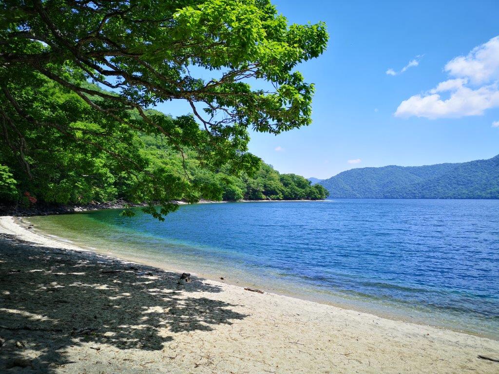
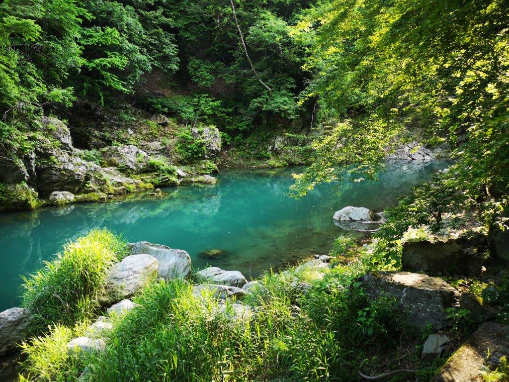
The paradisiac shore of lake Chuzenji

Boarding deck at Senjugahama

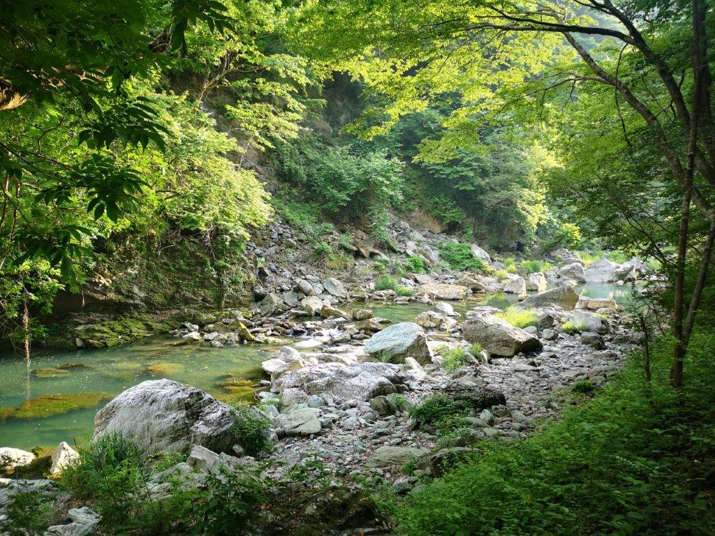
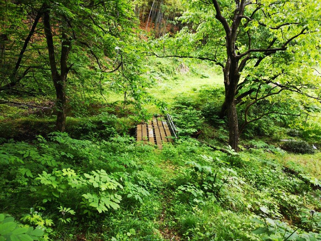
At 12h30 I reached the white sandy shore of Chuzenji lake. Under the blue sky, it felt like I was on a Pacific island. I continued along the shady path to the right, circling the lake counter-clockwise. Ten minutes later, I arrived at Senjugahama (千手ヶ浜), also accessible via boat and bus, which explained the number of people I saw there. I moved on quickly, enjoying the various views of the lake and Mt Nantai to the left. Twenty minutes later, after crossing a river on a small footbridge, I was back on a hiking trail with no one else around.

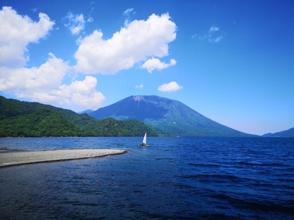
Sailing boat with Mt Nantai directly behind

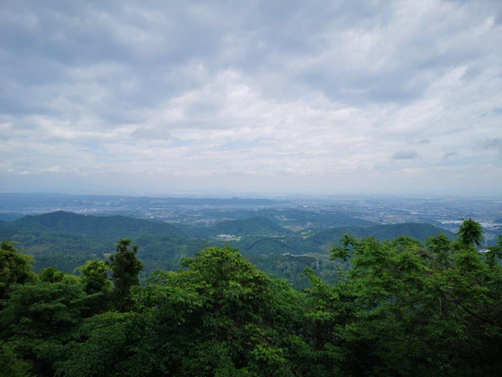
Mt Taka from the southern side of Chuzenji lake

It took about three hours of solitary hiking through pleasant forest to reach the end of the hiking trail at the Italian Embassy Villa Memorial Park. During the first half, the narrow trail went up and down but also remained within sight of the lake. The second half was wider and flatter and I had to be careful not to lose the trail. I wasn’t sure till the final hour that I would make the bus, but it was with great relief that I got to the bus stop with ten minutes to spare. At 5pm, I was comfortably seated on the Tobu bus back to Nikko station, at at 6pm I was on the limited express for Asakusa station.

See the views along the Chuzenji Lake Nature Trail

One of the many view of Mt Nantai along the trail

Jomine Park (498m) & Sanbaseki Gorge, Kamikawa Town & Fujioka City, Saitama & Gunma Prefectures

As I was looking for a way to continue my exploration of western Gunma, I found a section of the “Kanto Fureai no Michi” surrounded by four previously climbed peaks: Mt Jomine, Mt Mikabo, Mt Sakura and Mt Yokogai. The highlights were a viewpoint of Kanna lake and a river gorge; on the downside, the route followed paved roads instead of hiking paths. I wasn’t worried about access, since I had traveled to the area before. It would be a short hike, so I could leave later than usual. Although most of the hike would be inside Saitama, except the river gorge, I would be arriving and leaving via Gunma. The weather was supposed to be fine all day, and although I wouldn’t be summiting any mountains, I was hoping to get some good views along a hidden valley close to Tokyo.

Hiking the Kanto Fureai no Michi 関東ふれあいの道

Kanna lake and Shimokubo dam from Jomine Park

I had only a few minutes to transfer to the bus after arriving at Shinmachi station around 10h30. I got off one hour later, a couple of stops before the dam and the lake, seemingly in the middle of nowhere. I could see Jomine park and the dam straight ahead, so I got my bearings easily. After getting ready, I used my phone GPS to find my way to the bottom of the river valley. I crossed the bright red Tosenkyo bridge (登仙橋), also crossing into Saitama prefecture at the same time, and walked up the road opposite, alongside a small river.

Straight ahead and at the top of the mountain, Jomine park

Looking downstream (left) and upstream (right) from Tosenkyo Bridge

I soon spotted a small path next to the river and immediately switched to it so that I could better enjoy the sight and sound of the rushing water. I was now walking inside Tobagawa river park (鳥羽川河川公園). At 1pm, I rejoined the road, which climbed steeply and away from the river. Half an hour later, I reached a junction: straight ahead the road continued to the top of Mt Jomine, 4km away and 500m higher; however, I took a sharp turn to the right, along a gently rising, almost flat road.

A pleasant stroll through Tobagawa river park

Yellow iris next to Toba river

I now had my first good view of the day: looking east, I could make out the top of Mt Yokogai which I had climbed just one month ago; huge cumulus clouds were crowding the sky to the south, and although rain was forecasted closer to Tokyo, the surrounding mountains were still in the sun. At 2pm I arrived at Jomine Park (城峰公園) and had lunch at the observatory overlooking Kanna lake (神流湖) to the north. Beyond it, I could see the rounded top of Mt Sakura.

The only hiking path on this “hike”

Cloudy weather to the south over Chichibu

After lunch, I made a quick tour of the park and found another less impressive viewpoint on the other side, and at 3pm, I headed down a wide road leading to the dam. After only a few minutes, I reached a shortcut following a log staircase overgrown with grass; it was the first and only hiking path of the day. Less than 10 minutes later, I was back on the road. At 4pm, I was on the pedestrian road that ran along the top of Shimokubo dam (下久保ダム).

The blue-green water of Kanna lake

Kanna lake, a hidden gem

This was the second highlight of the day: looking west, I could see Kanna lake sparkling under the afternoon sun; turning around, I could see the impressive ravine through which flowed the Kanna river. After walking up and down the dam, I headed down into the deep valley on a road closed to traffic; 15 minutes later, I was at the entrance of the Sanbaseki Gorge (三波石峡). Although the riverside path is no longer in use, I could approach the river via four small paths situated at regular intervals along a road.

Looking down at the river gorge from the lake dam

Solar panels getting the sun at the end of the hike

Each riverside spot was like straight out of a fairytale: at the first two, the clear water rushed through huge boulders, 48 of which have names; at the last two, the light-green water flowed lazily under grey cliffs. The sinking sun shone down the valley through the leaves and onto the water; a slight breeze blew occasionally, its coolness welcome on a warm day. I took a short break at the third spot and enjoyed this magical secluded place.

Kanna river in the late afternoon sun

A magical spot along the Sanbaseki Gorge

It was now past 5pm and my bus was due in half an hour. I continued along the road at a fast pace and soon arrived back at the red bridge which I had crossed five hours ago. Huge grey clouds had now spread above, and it seemed like it could rain at any moment. I quickly climbed out of the valley back to the bus stop. One hour later I was at Shinmachi station, from where it was a 90 minute train ride back to Tokyo.

Mt Koo (550m), Mt Hinata (482m) & Mt Taka (420m), Fujioka City, Gunma Prefecture [Ontake Trail]

After visiting Mt Sakura the previous year, I really wanted to do another hike in the same area. I knew there were two more short trails to the north, making them suitable for the winter. However, looking online, there seemed to have few views, and I thought it would be nicer to visit during the new green of spring. I chose the better maintained Ontake trail, over the more adventurous Kamatori trail. By starting with Mt Koo, a separate peak connected by a short walk on the road, I could extend the hike to 3 hours. These trails weren’t shown on my hiking map and weren’t mentioned in my hiking guides, so I had to rely exclusively on information found online. Getting to the start of the hiking trail would require a combination of two local trains and a bus: not the easiest route, but with plenty of time between connections, it seemed problem-free. The weather forecast was “cloudy with sun later on”; although the views were supposed to be scarce, the new green of spring always looks better in the sun, so I was hoping for some sunlight on this hike.

View of the Kanto plain through a break in the mountains

Start of the “2000-step staircase”

The sky was grey and gloomy during the first part of the my trip. However, while switching to the Hachiko line, the clouds parted, and after arriving at Gunma-Fujioka station at 10am, the sun was shining. Instead of a bus, I got on a mini-van, a common form of public transport in this part of Gunma. A little before noon, I got off at the last stop, called “nisen-kaidan-iriguchi” (二千階段入口), meaning entrance to the 2000-step staircase. Looking west, I could make out the foothills of Mt Mikabo, its top half lost in the clouds.

Some of the 2000 steps of Mt Koo

View from the top of Mt Koo

It certainly didn’t feel like 2000 steps: it took me just five minutes to reach the the summit of Mt Koo (子王山 こおうやま meaning small king), completely in the trees. Walking north and down a few meters, I reached an opening in the trees, where I had a view of the Kanto plain with the tall buildings of Takasaki city to the northeast. I should have been able to see Mt Haruna, Mt Akagi and the Nikko mountains, but the weather still wasn’t good enough. I had an early lunch before setting off again.

The beautiful spring green of Gunma

Start of the Ontake hiking trail

I went down some steeps steps on the other side, and then followed a forest road round the mountainside, arriving back at my starting point 15 minutes later. I walked east along the countryside road till I reached the entrance to the Ontake trail (御嶽コース). The trail descended for a short while, before crossing a metallic bridge and then heading up a ridge. Soon, I was walking along a level path through the forest. At 1h30, I reached the narrow summit of Mt Hinata (日向山 meaning in the sun); oddly enough, despite being surrounded by trees, the summit marker was…in the sun.

A level section of the trail (left) / An interesting trio of trees (right)

By the afternoon, the good weather had prevailed

The trail continued up and down, with the steeper sections helpfully equipped with rope; half an hour later I was at the top of Mt Ontake-Taka (御嶽高山), once again hemmed in by the trees. Past the summit, the path started to descend and at 2h30, I emerged onto a forest road. At 3pm, I reached the road and the end of the hiking trail. It walked ten minutes to the Takayama-sha Ruins bus stop, next to a world heritage site, where I caught the mini-van back to Gunma-Fujioka station. It took only a few minutes to connect to the Shonan-Shinjuku line, after which it was a 90-minute ride back to central Tokyo.

See the view from the top of Mt Koo and the waters of the Sanmyo River