

I felt it was time for another hike in Minamiboso since it had been two years since my last visit. Looking at my mountains of Chiba guidebook, I decided to combine 3 peaks in the Mineoka mountains. This mountainous range south of the Kamo river includes Mt Atago (408m), the highest point of the Boso peninsula; however, it can only be visited by applying in advance since it’s also the location of a Japan self-defence force base (currently not accepting any applications). Instead, I’d head up the 4th highest peak of the Boso Peninsula, a short distance away, and then go up another, lower peak nearby. I’d then make my way along country lanes to one last mountain. All 3 peaks supposedly had wide views from their summits.
Hiking on the Boso Peninsula 房総半島
Hiking in the Mineoka Mountains 嶺岡山地
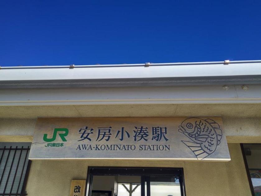
To get to the start of the hike, after riding the Sasanami limited express from Tokyo, I’d had hoped to take the bus from Hota station, but it was no longer in service. Instead I decided to use the “on-demand” bus from Iwai Station, less convenient since it required me to call in advance. According to my map, a trail started near the last stop; looking at online reports, it seemed to be a forestry service path rather than a proper trail, so I opted to use a nearby road that also led to the trail entrance. For the return, I’d catch a bus for Awa-kamogawa station, and then ride the Wakashio limited express back to Tokyo. The weather was supposed to be sunny with mild temperatures for the season and I was looking forward to exploring a new corner of the Boso peninsula.
The road between Yamadanaka and Mt Futatsu is closed to traffic due to a landslide. Caution is required when crossing the collapsed section on foot. It’s recommended to access these 3 peaks from the Kamogawa side via the “Satoyama Walking Hosono Motona Route”.
Path for Umanose (left) Top of Umanose (right)
Passing under (left) and around trees (right)
It was another beautiful winter morning as I rode the Sasanami limited express, first through the Chiba countryside and then along Tokyo Bay. During the ride, I left a message on the Minamiboso city answering machine saying I’d like to ride the morning bus to the last stop. Shortly before 10am, I boarded the microbus waiting outside Iwai station after confirming my reservation with the driver. Nearly all passengers got off at the trail entrance for Mt Iyo, the end of the regular bus route; just one passenger got off with me at Yamadanaka (山田中), half an hour later, last visited when I climbed Mt Goten.
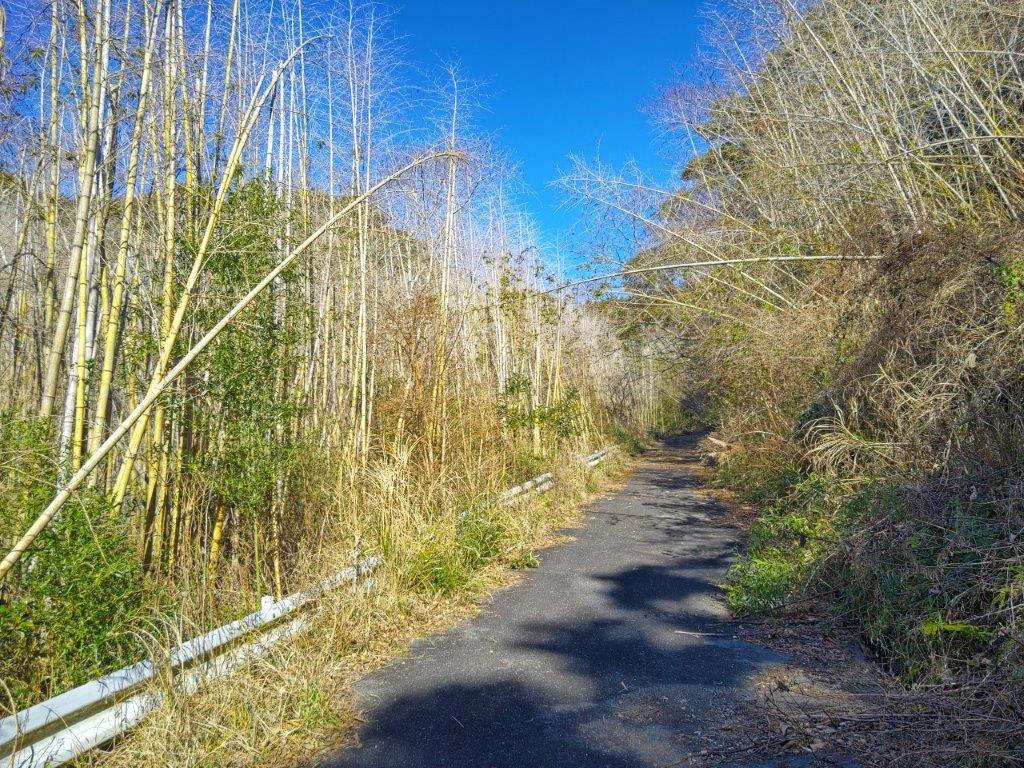
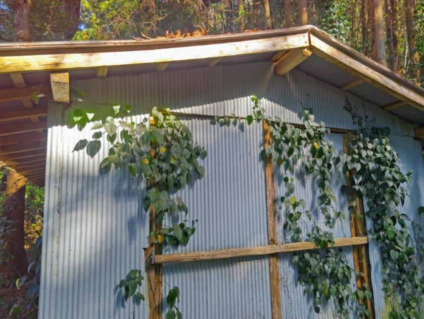
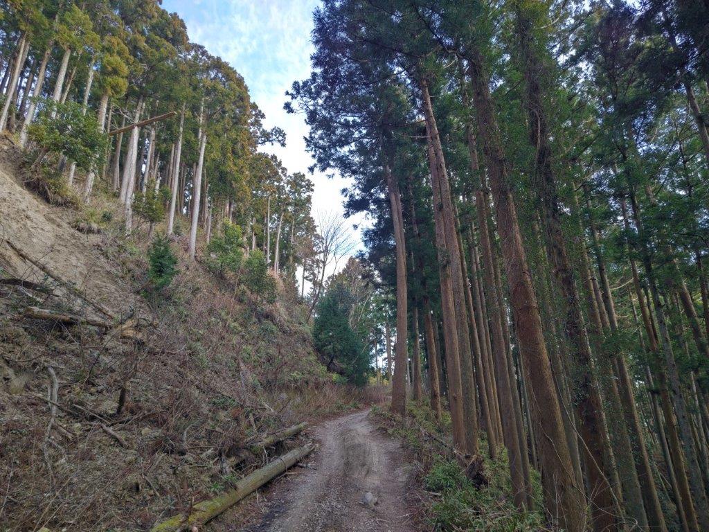
Overgrown Road leading to Futatsuyama
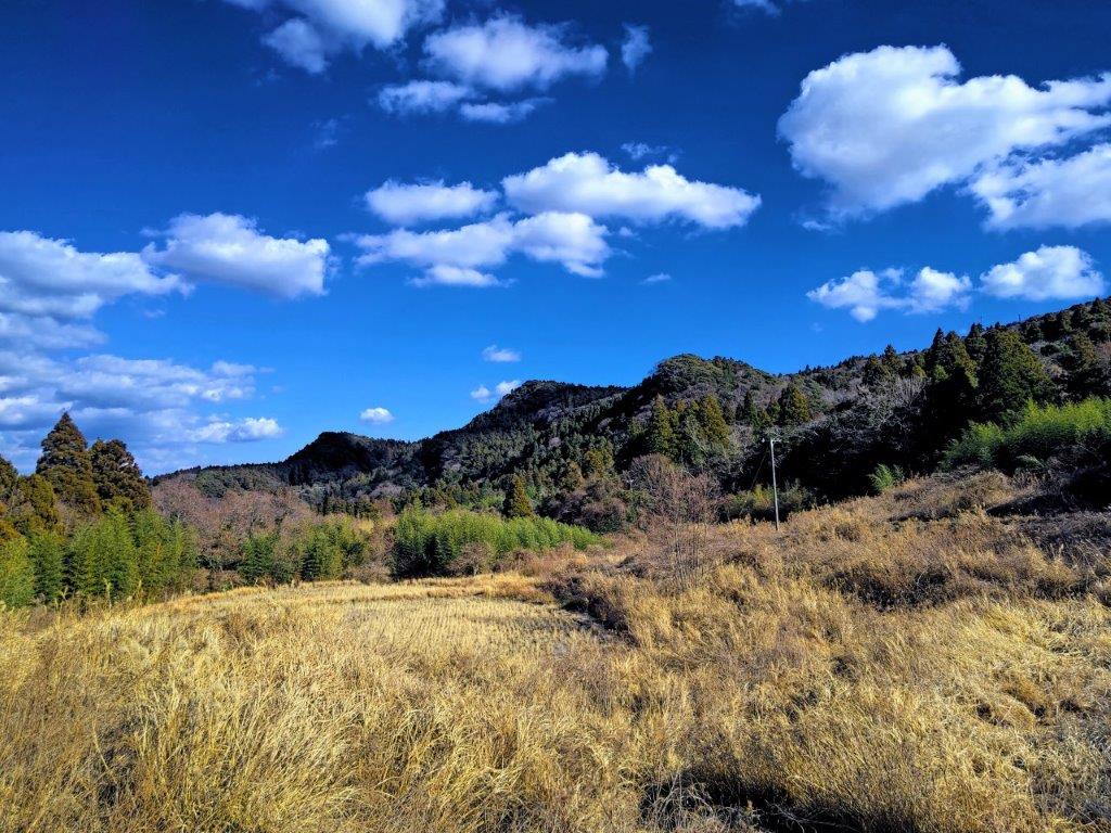
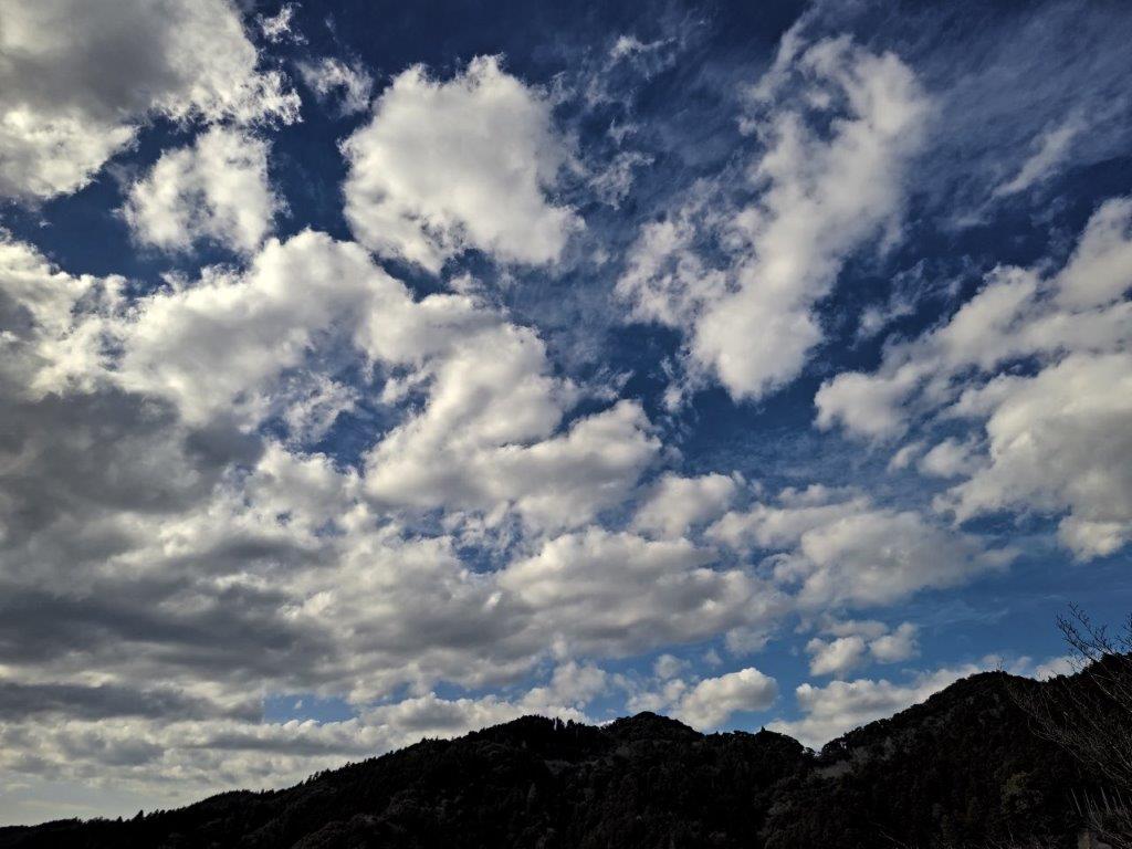
Blue Skies on the Higher Section of the Road
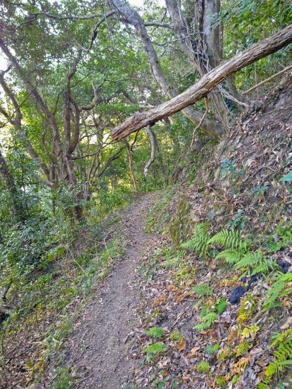
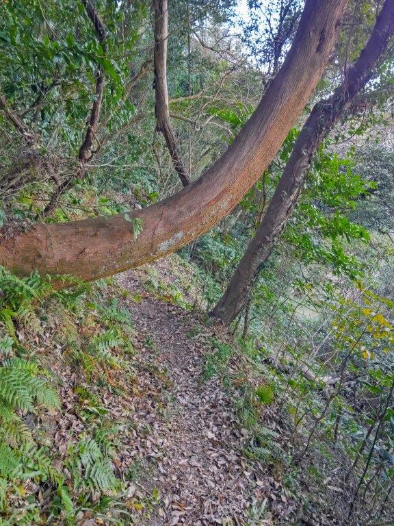
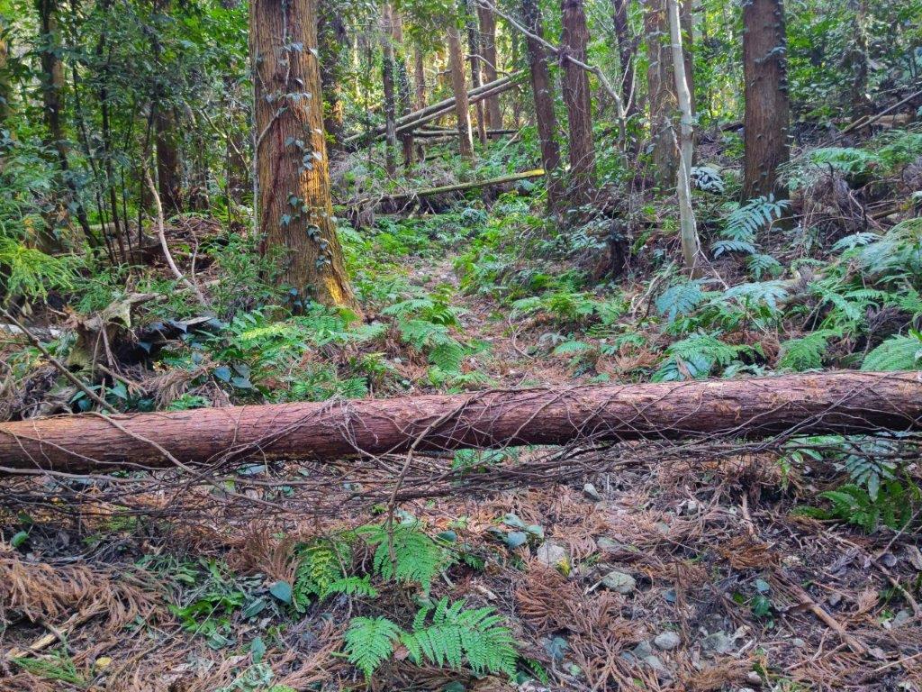
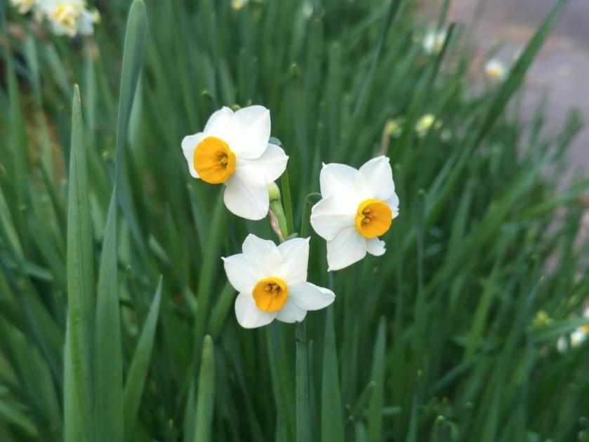
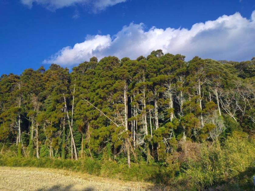
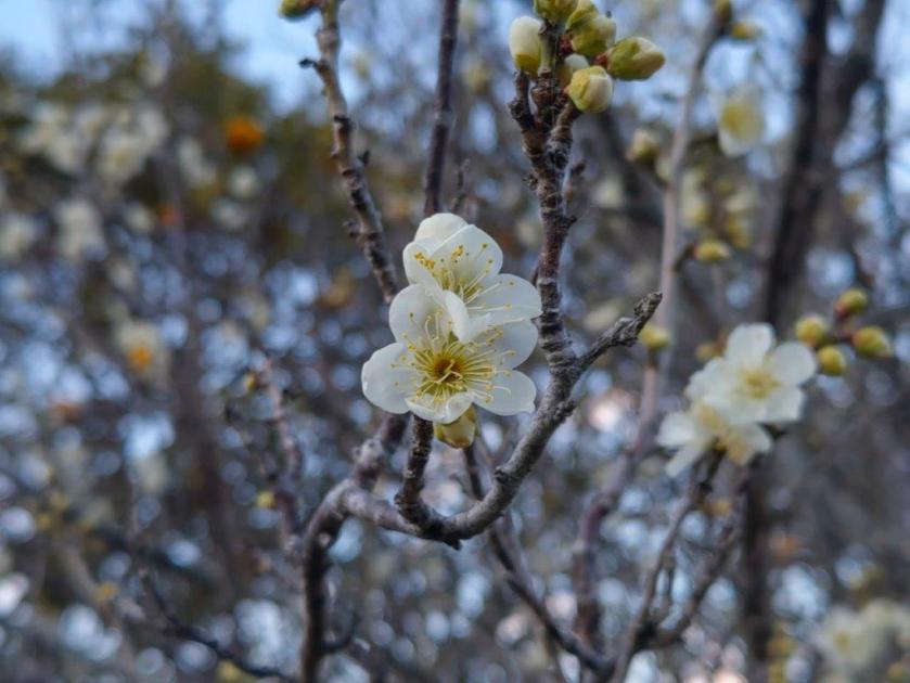
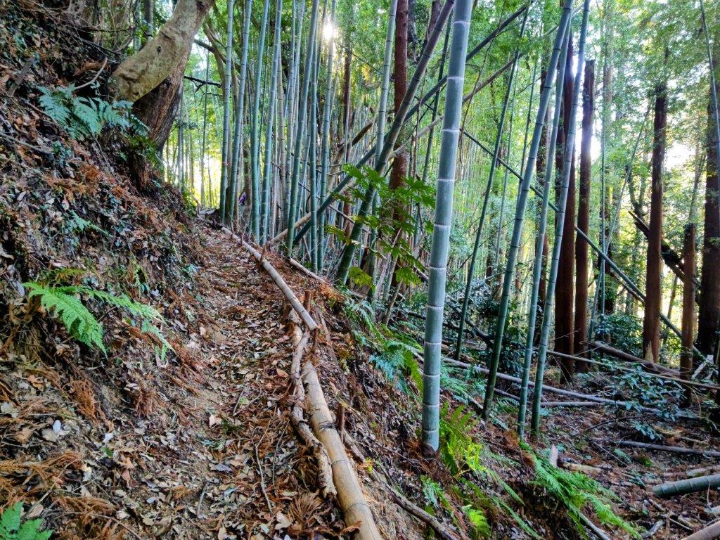
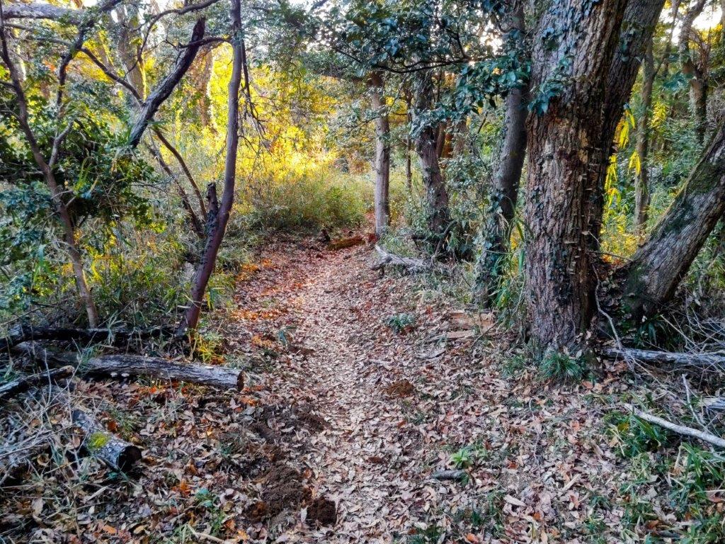
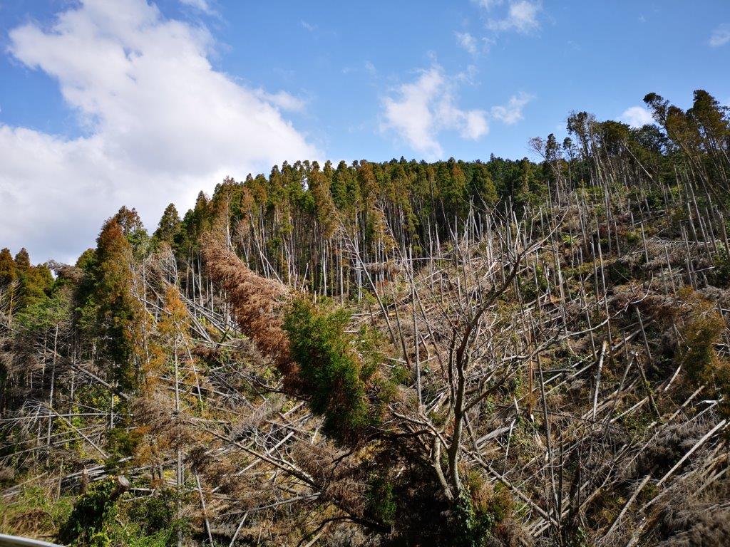
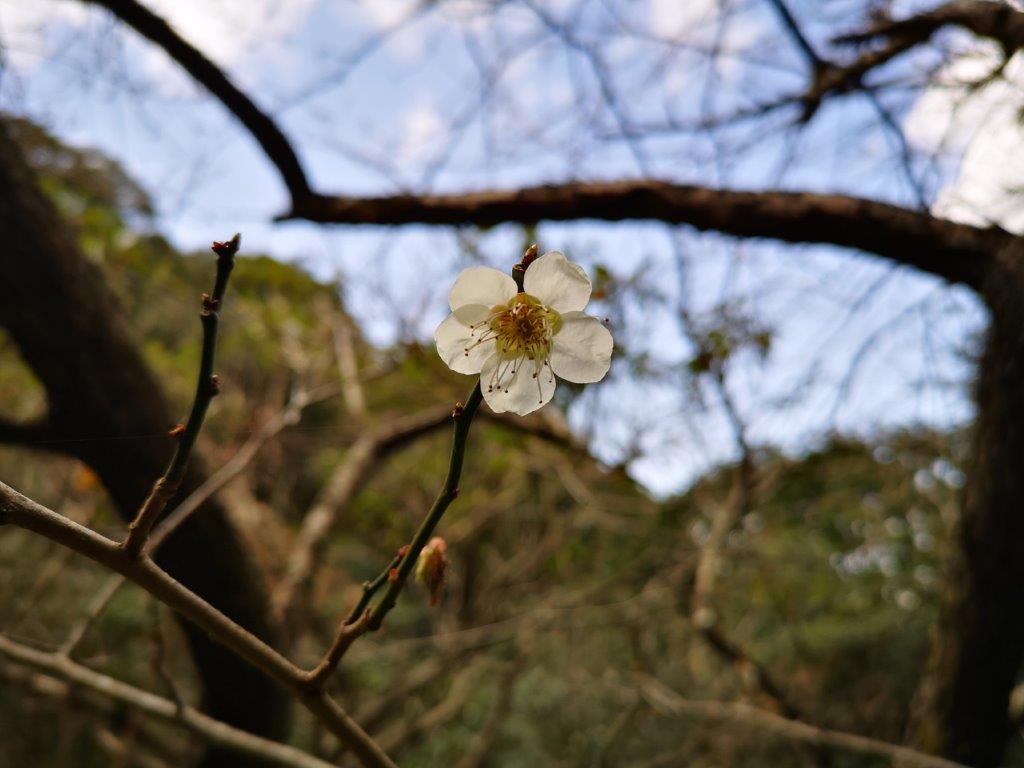
The surroundings were completely silent compared to my previous visit in the Spring. I continued along the road, and at a sharp bend, turned left onto a smaller road leading up into the hills. Past some early plum blossoms, I came upon a sign indicating that the road was closed to traffic due to a landslide. After confirming with a local that it was “sort of” passable on foot, I set off, relieved that I could stick to my plan, and that no cars would disturb the peace and quiet. One drawback of a closed road is that the vegetation is left to run wild, forcing me to pass over and under several fallen bamboo stalks; for some reason they were dying out, an army of white stalks creating a ghostly atmosphere. A little after 11am, I arrived at the collapsed part of the road.
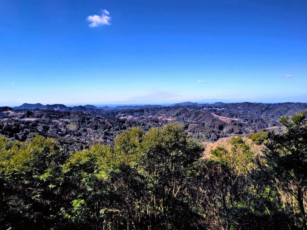
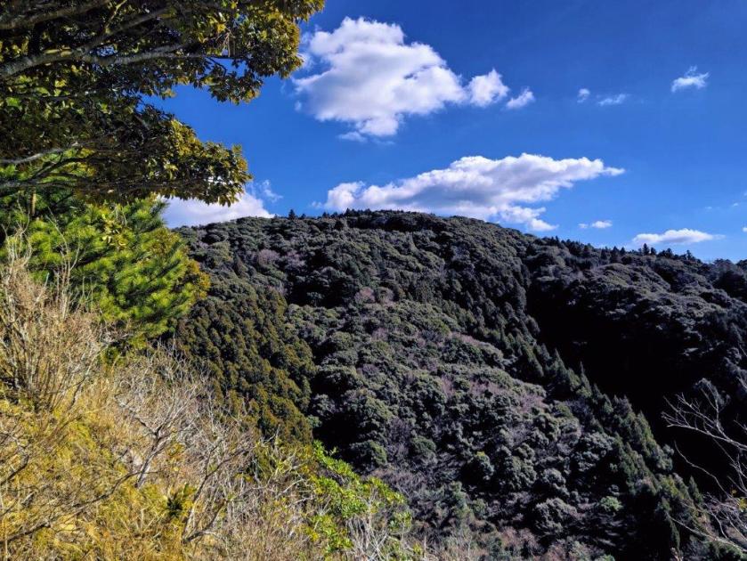
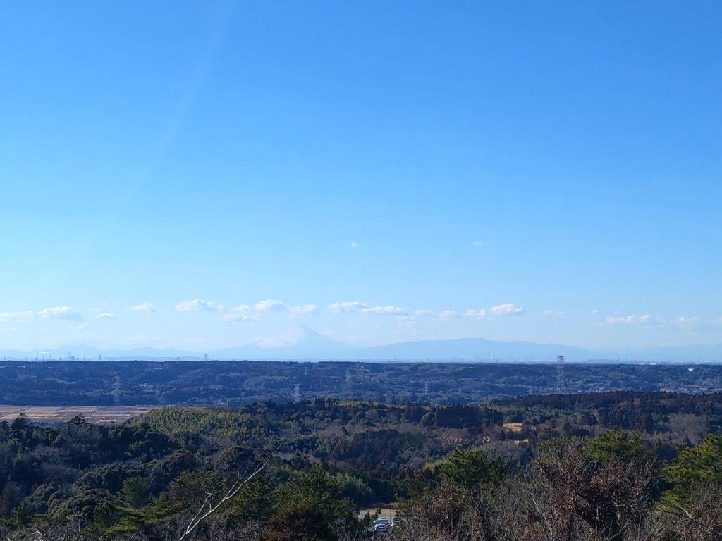
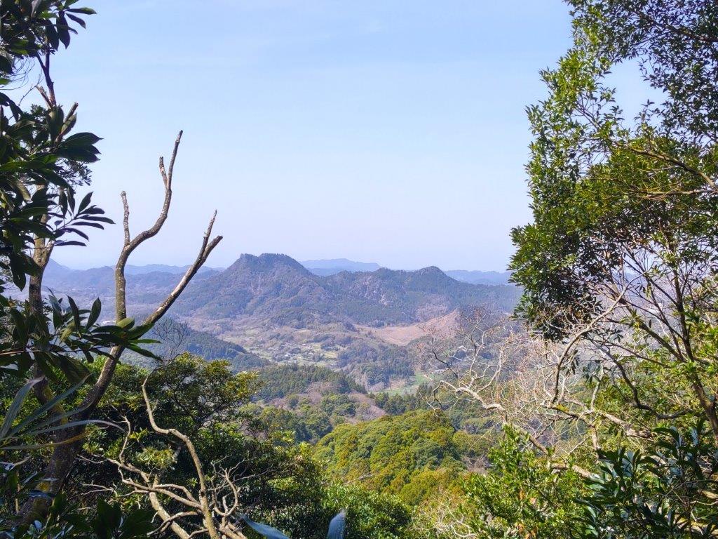
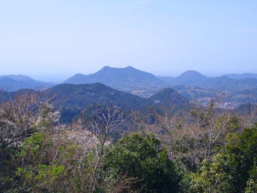
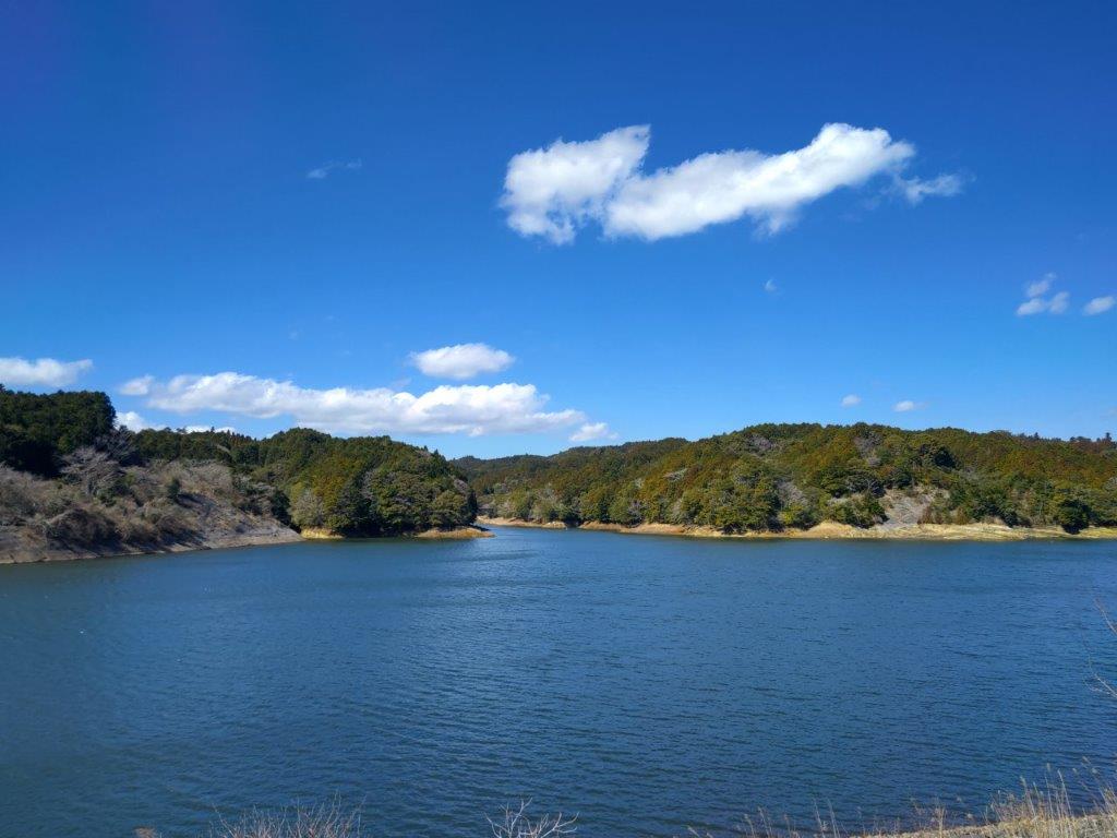
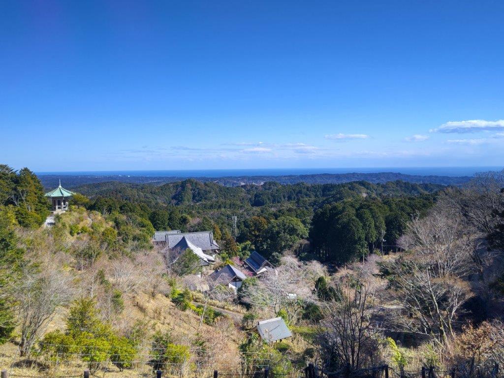
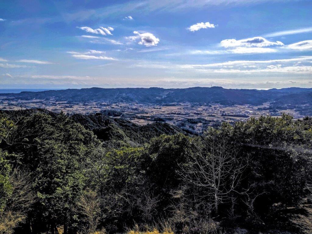
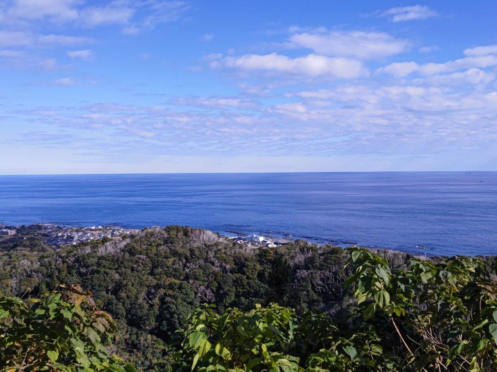
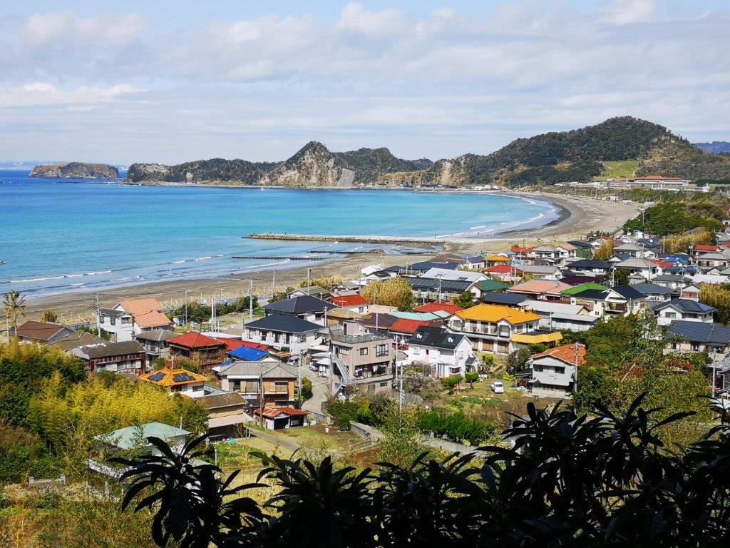
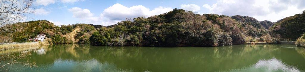
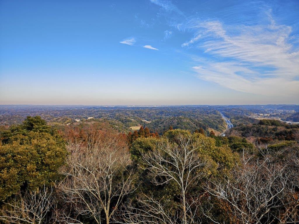
Mineoka Mountains & Tokyo Bay from Mt Futatsu
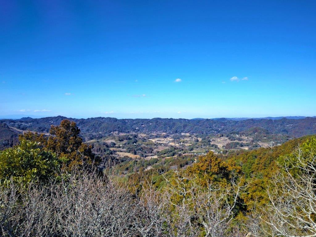
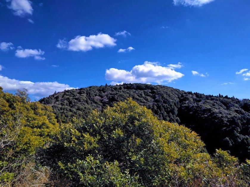
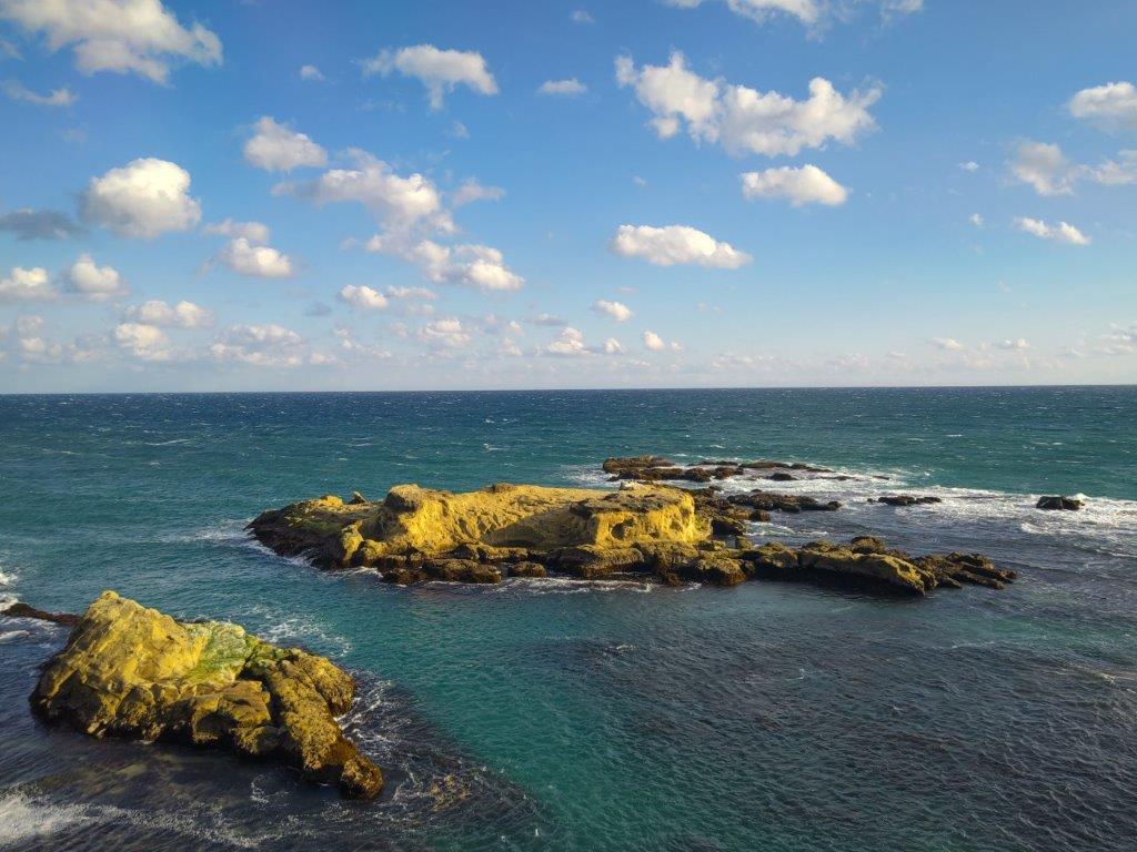
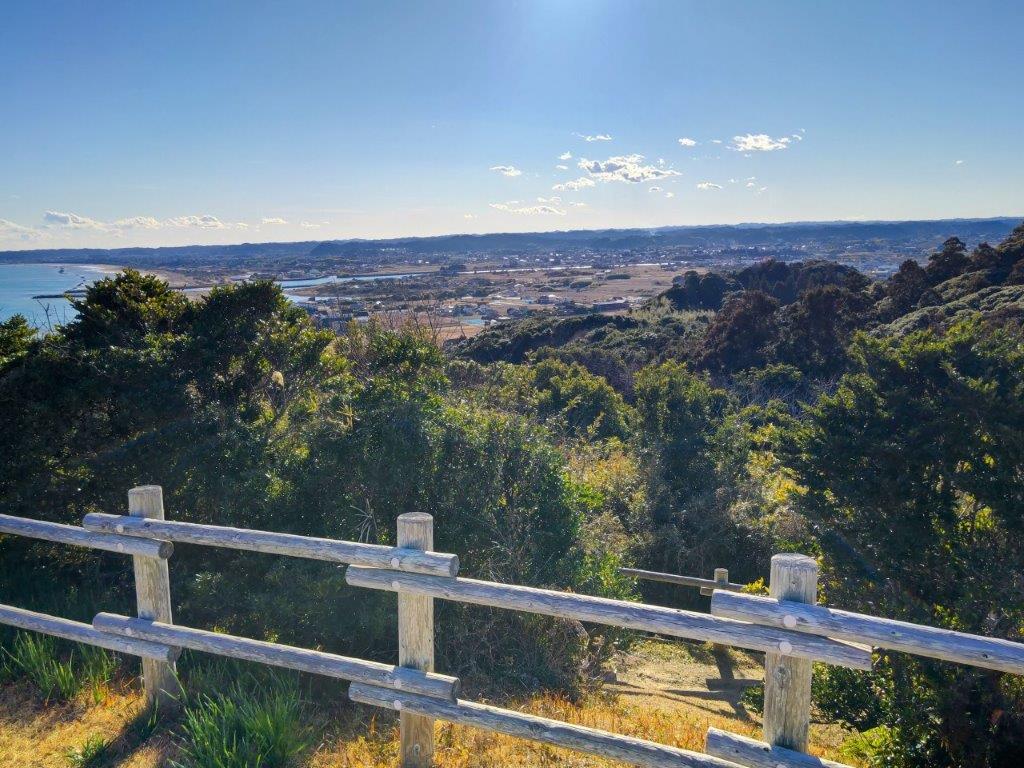
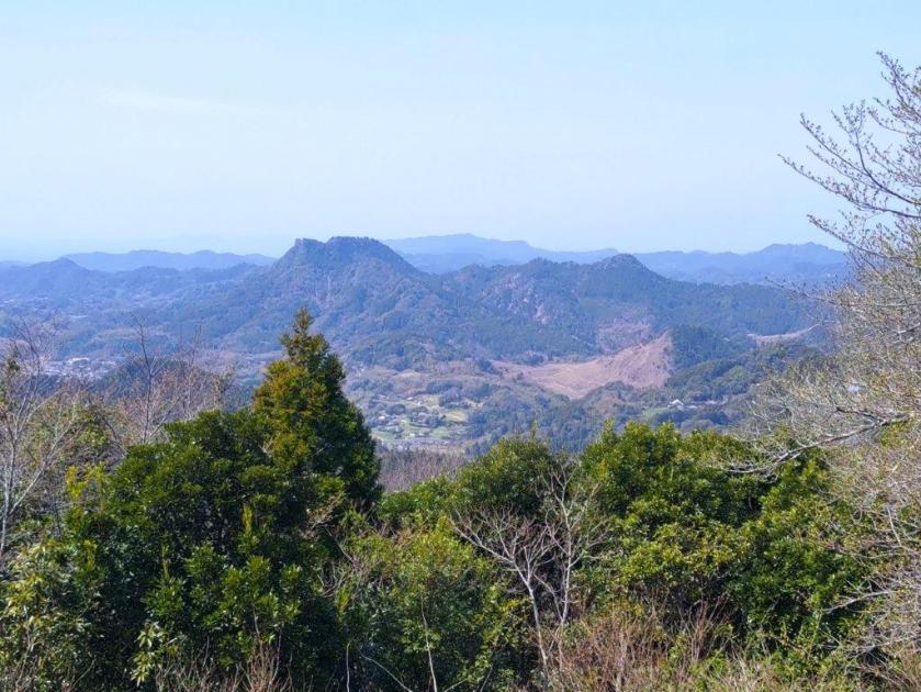
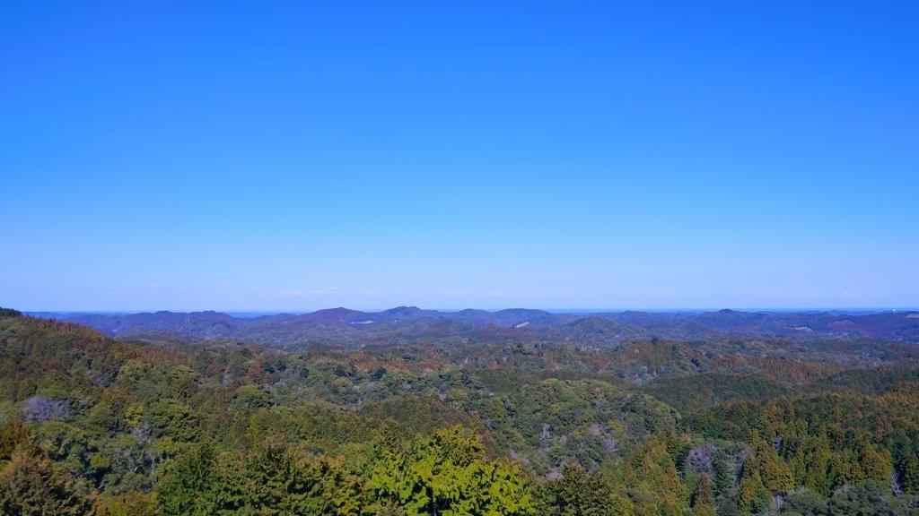
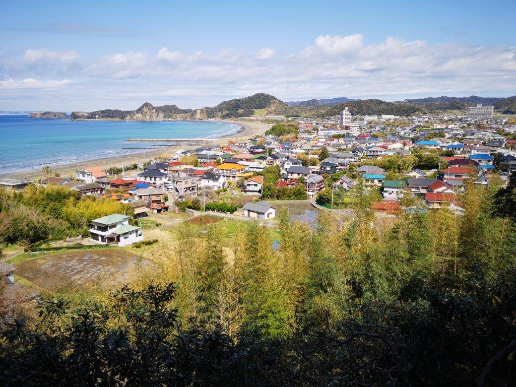
View of the Boso Mountains from Mt Ganko
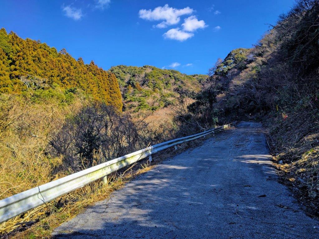
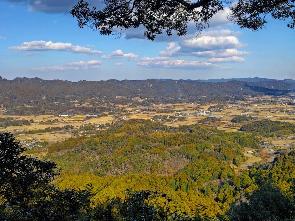
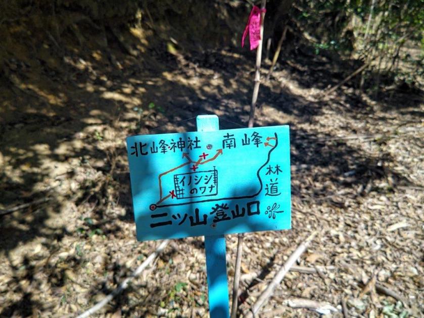
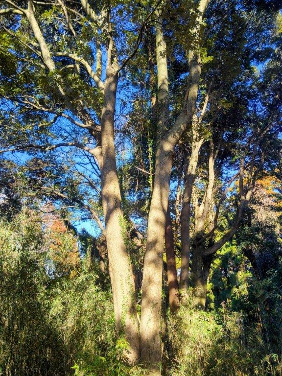
The damage was more extensive than expected; I had to walk on the mountainside to get around, treading carefully over the soft, overturned dirt. A little further on, several fallen cedars blocked the road, and it took some more minutes to get past. I had fallen behind schedule so I stepped up the pace and soon reached a junction where I turned right. I was now walking on a level road, 360m high and probably the highest road in Boso, although thick vegetation hid the views. A little past noon, a charming handmade sign marked the entrance to a trail on the left, and it took only several minutes of easy climbing to reach the top of Mt Futatsu (二ツ山 ふたつやま futatsu-yama) with a wide view to the west.
Walking along the Base of the Mineoka Mountains
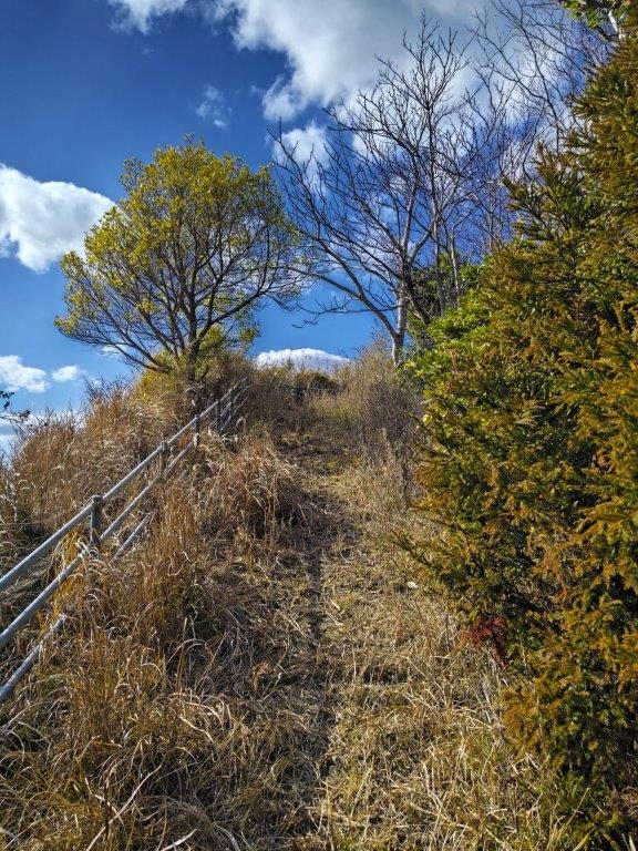
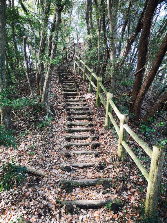
Heading up Umanose
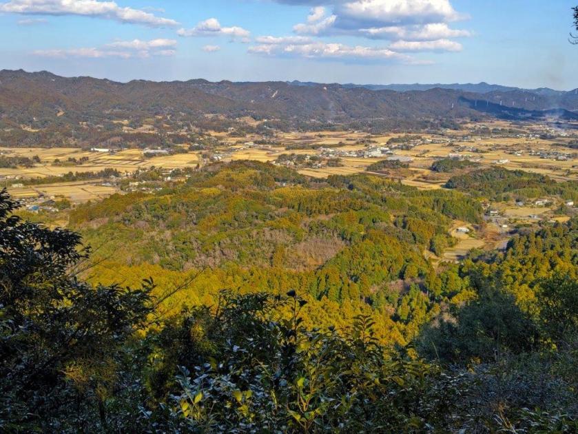
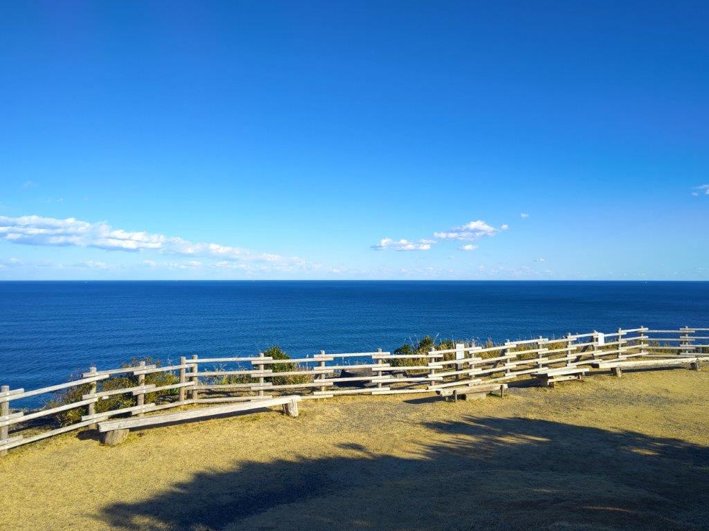
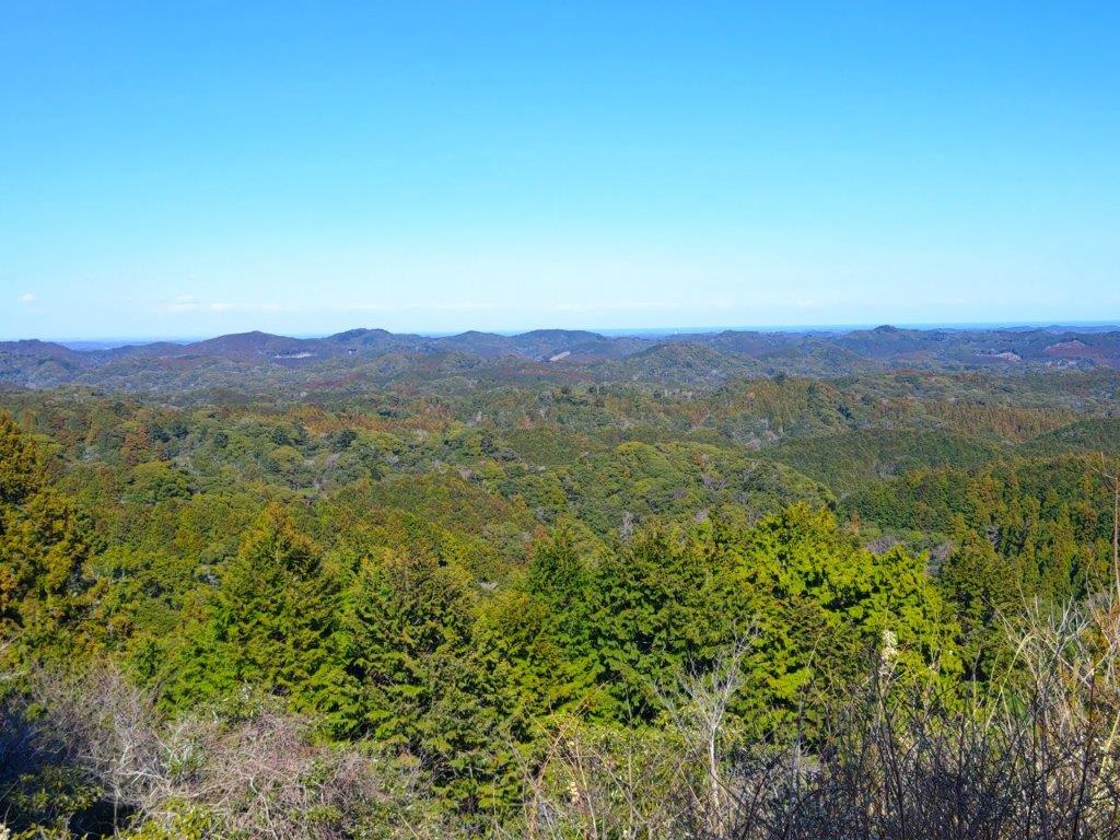
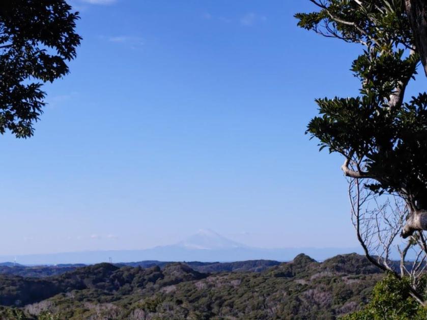
I was thrilled to have found another summit with a view on the Boso peninsula. From left to right, I could see Mt Tomi, Mt Iyo, Mt Nokogiri, Mt Saga, Mt Tsumori, Mother Farm and Mt Kamo. Beyond, I could see the blue waters of Tokyo Bay. I had been hoping to see Mt Fuji, I had seen it from Iwai station, but by now Japan’s most famous mountain had withdrawn behind the clouds. The summit was in shade and a cold wind was blowing so I soon moved on, following a steep trail down the north side. I soon reached a junction for the lower north peak (“Futatsu” means two) but decided to skip it since it was in the trees. At 1230, I emerged onto a road where I turned right, but soon turned left onto a trail for today’s second peak.
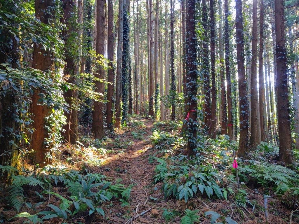
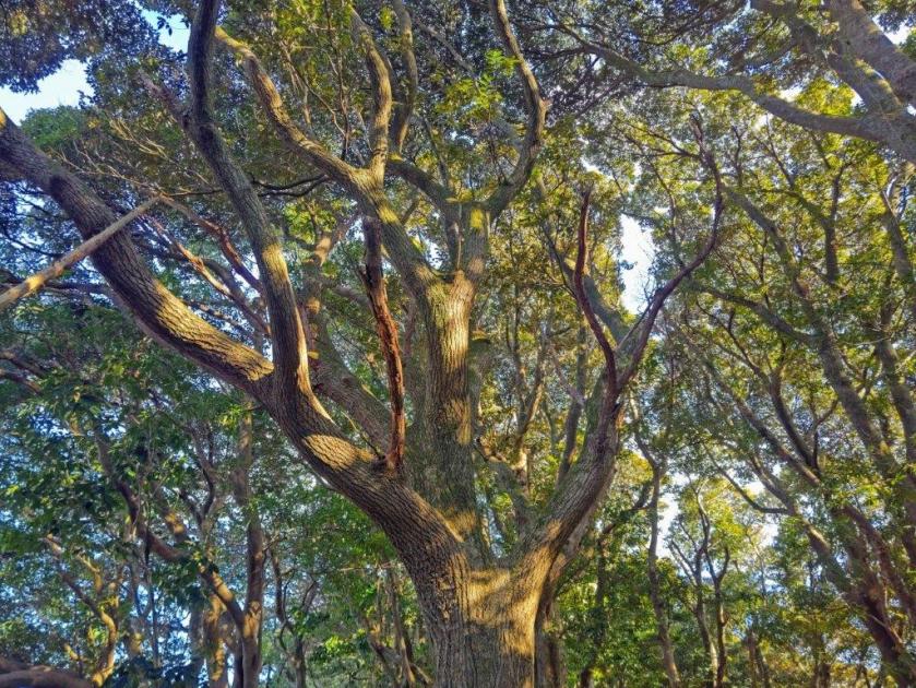
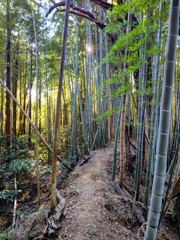
Sunlit Filtering through the Cedars

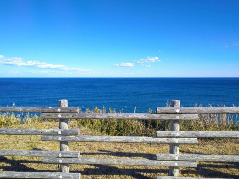
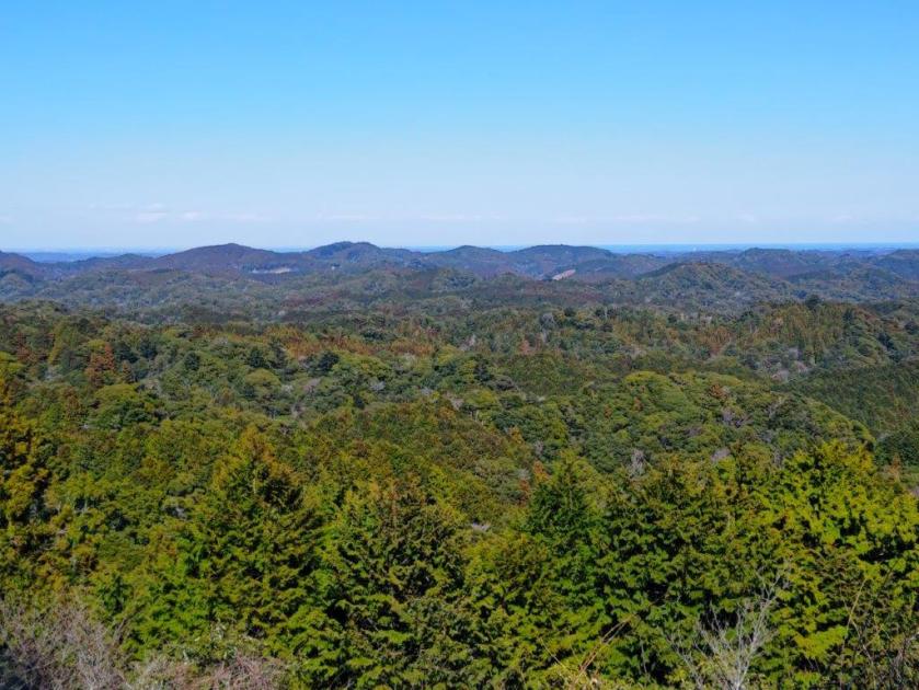
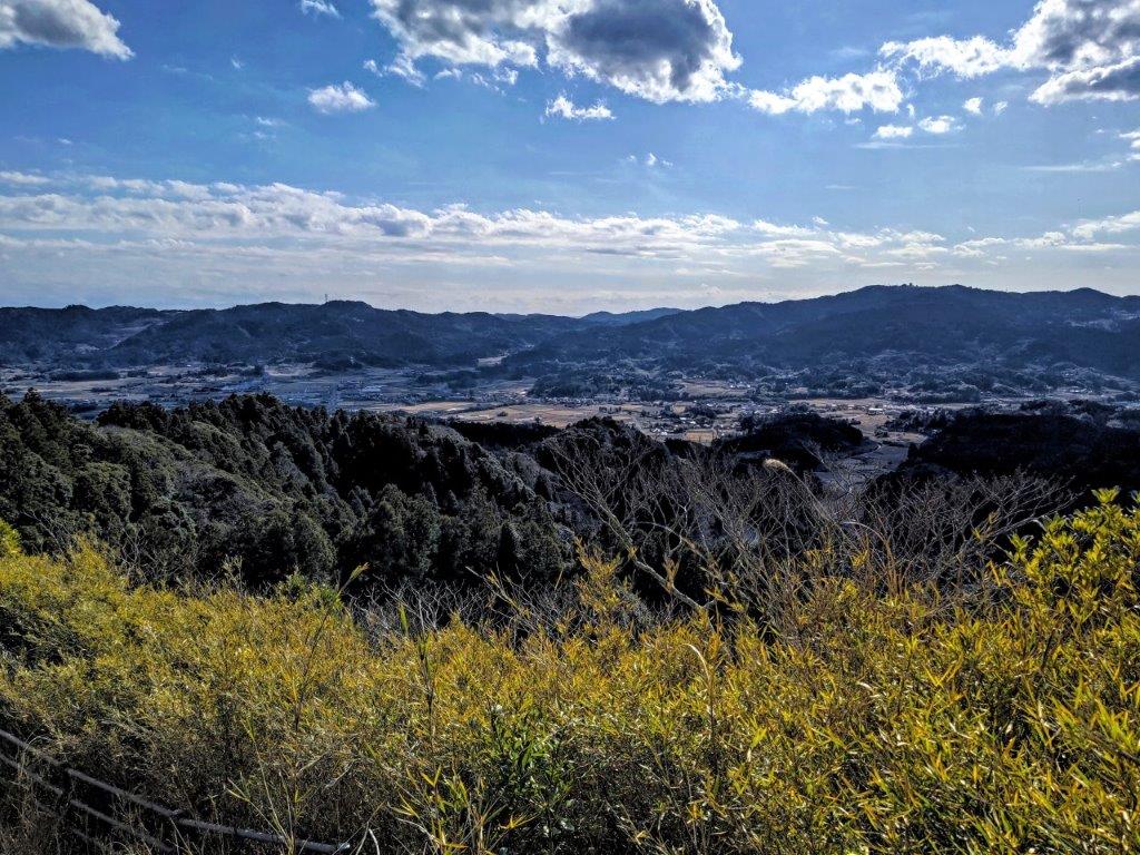
View North of the Boso Mountains from Umanose
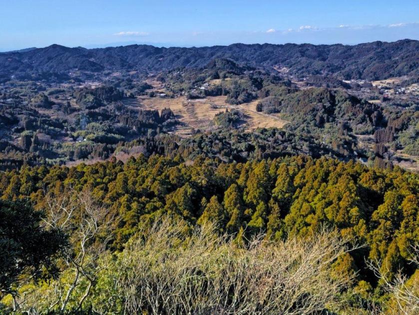
I was surprised by the steepness of the trail, including a short rocky section fitted with a rope for safety, reminiscent of higher elevation hikes. I soon arrived at the top of Mt Ganko (頑固山 がんこやま ganko-yama meaning “stubborn”; also written 岩光山 meaning “shining rock”). I put down my pack and carefully walked a few minutes along a rocky spur ending at a viewpoint, fairly similar to the previous one but from a lower vantage point. Turning around, I could see the rounded, tree-covered top of Mt Futatsu. Mt Fuji was still hidden from view but since I was now in the sun, I settled down for a lunch break. At 1pm, I made my way back to the road where I turned left. I was now following signposts for the “Satoyama Walking Hosono Motona Route” (里山ウォークキング細野・元名コース), taking me through fields and past thatch roof farmhouses.
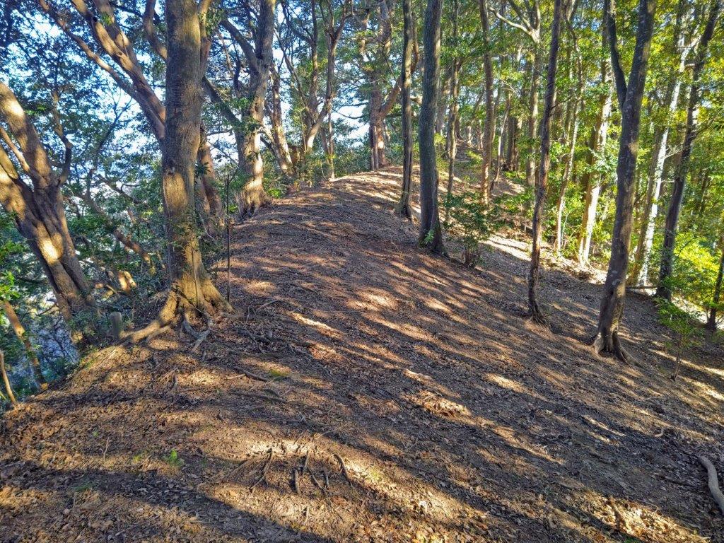
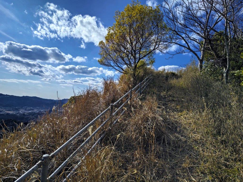
Ridge Trail between Umanose and Atago Shrine
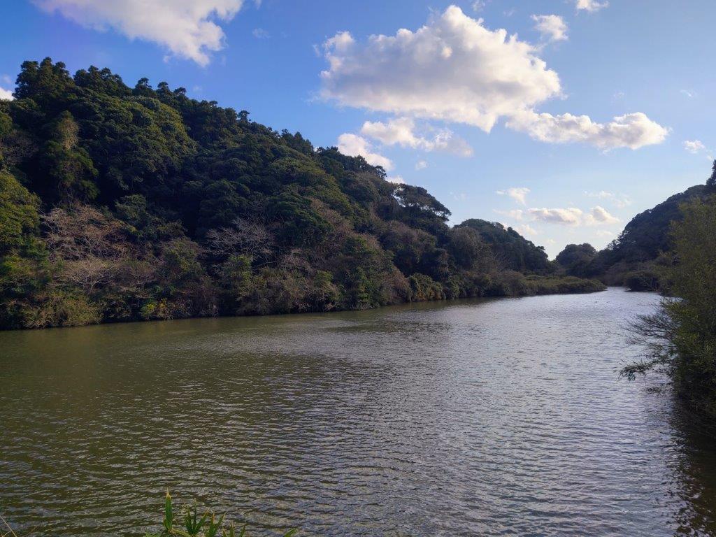
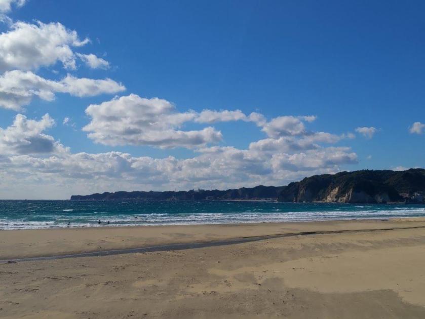
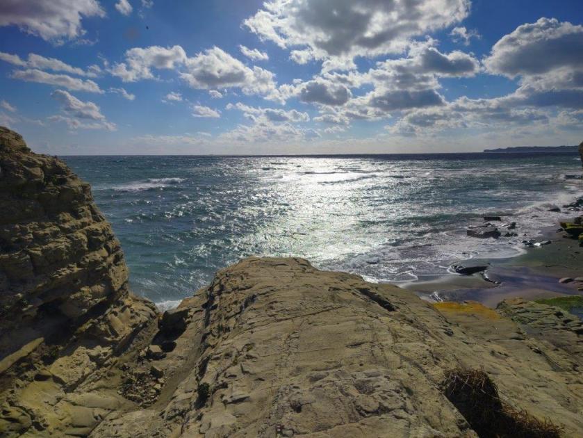
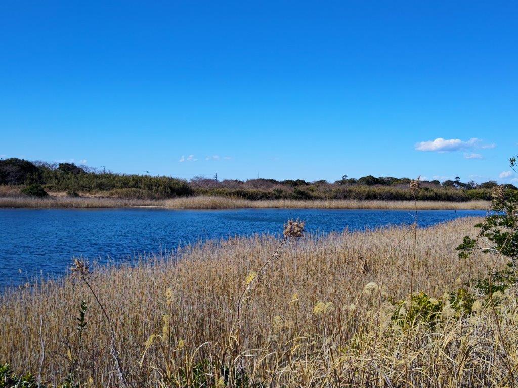
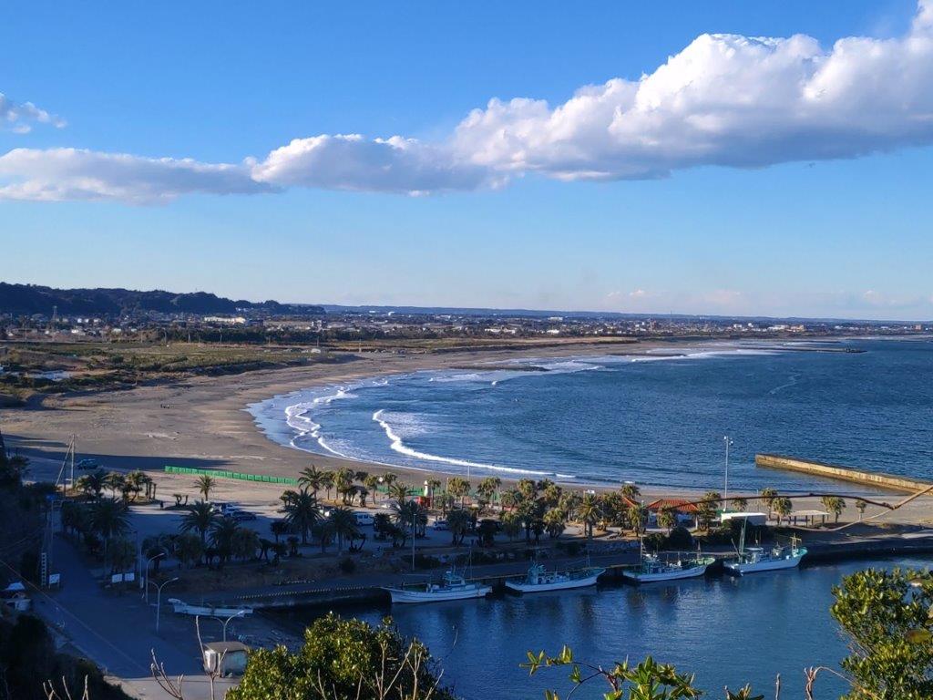
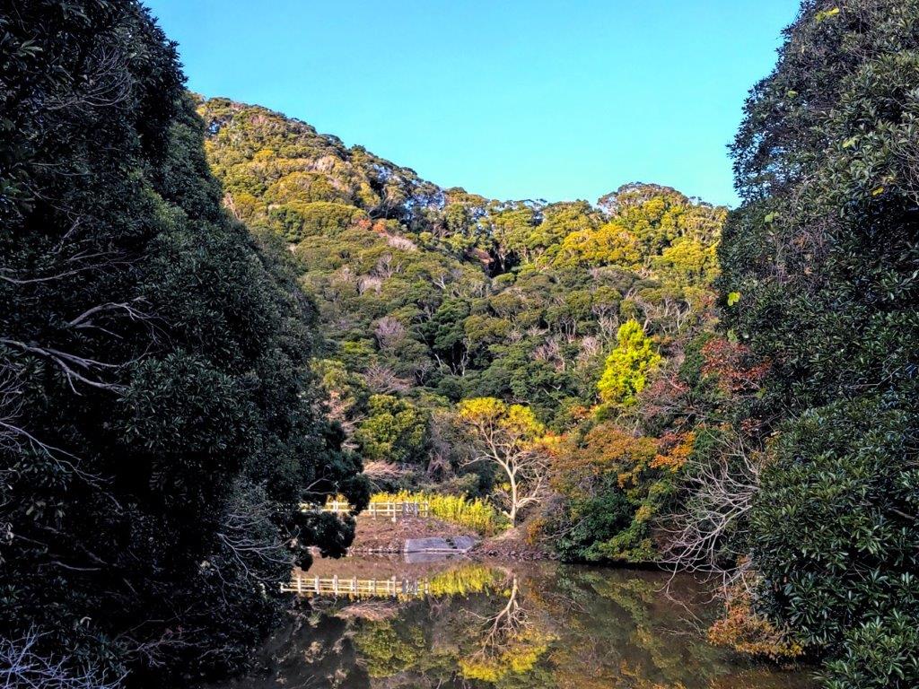
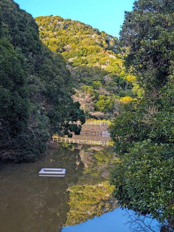
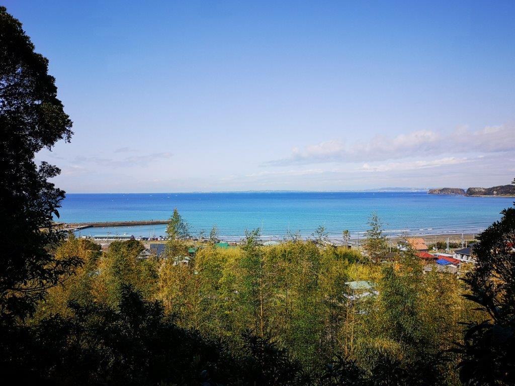
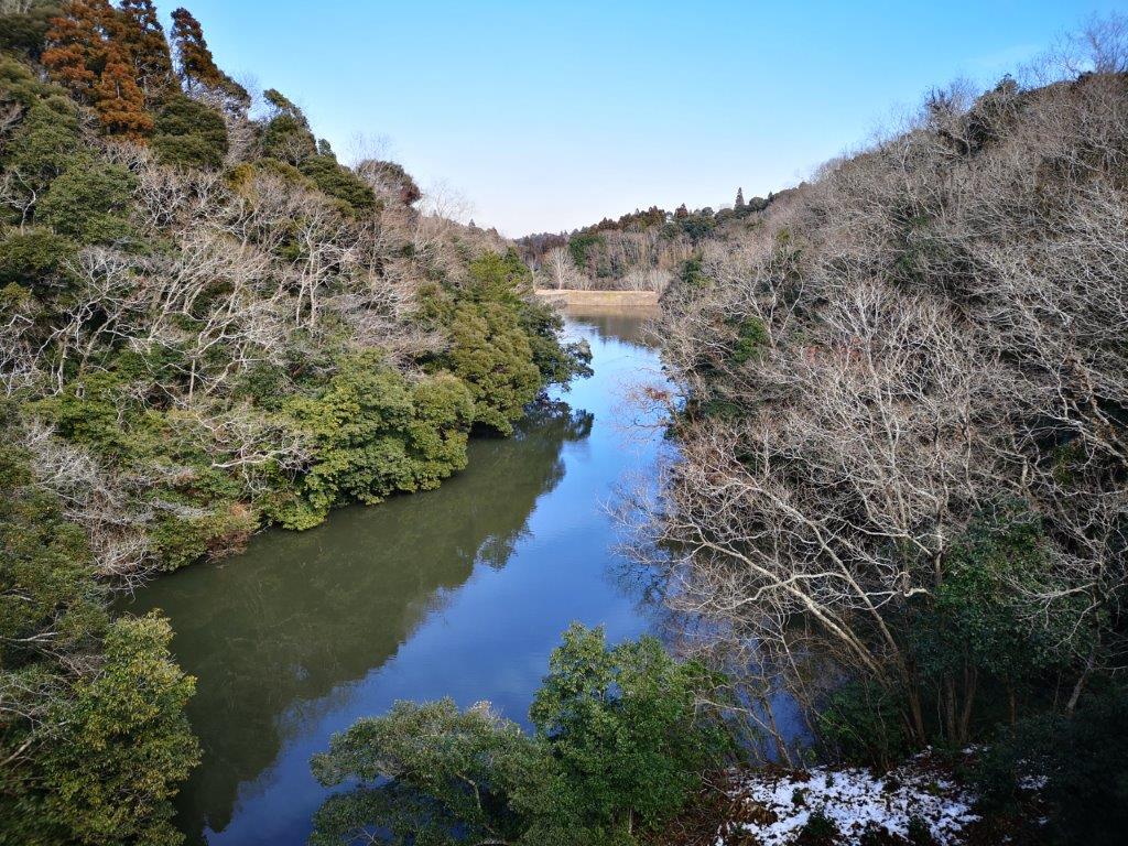
View of Kamogawa from the Mineoka Mountains
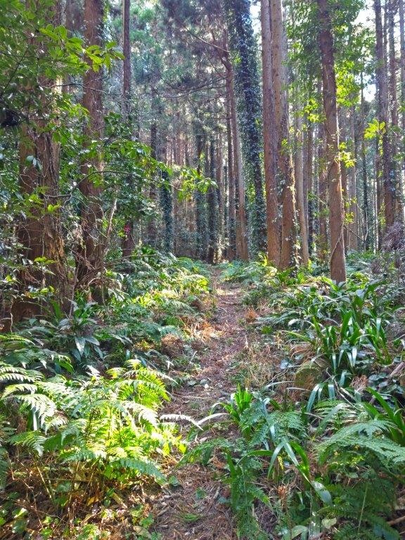
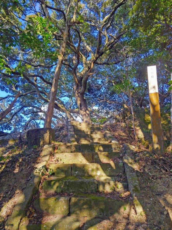
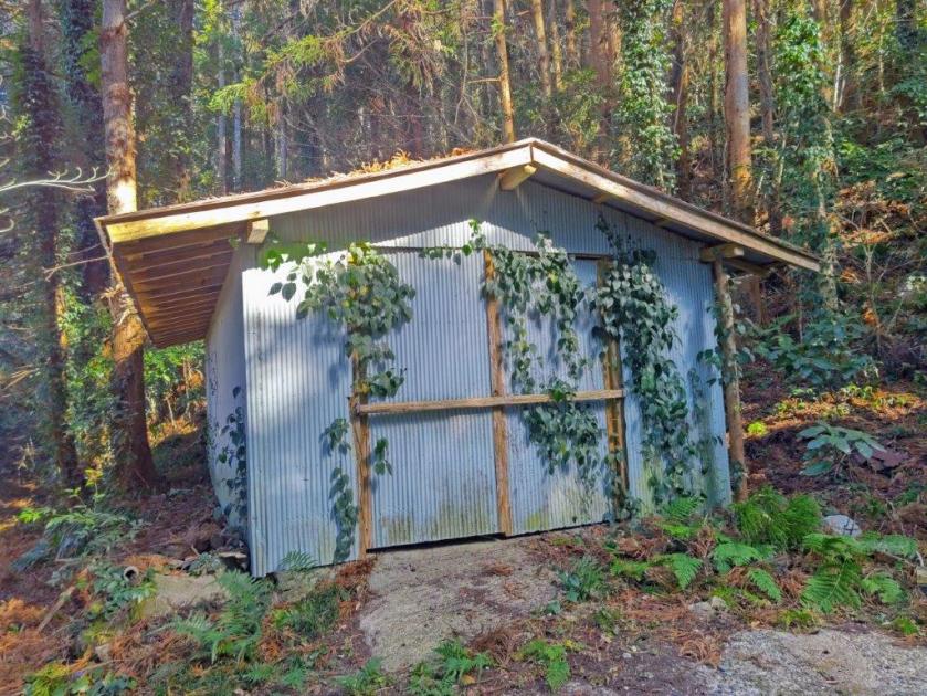
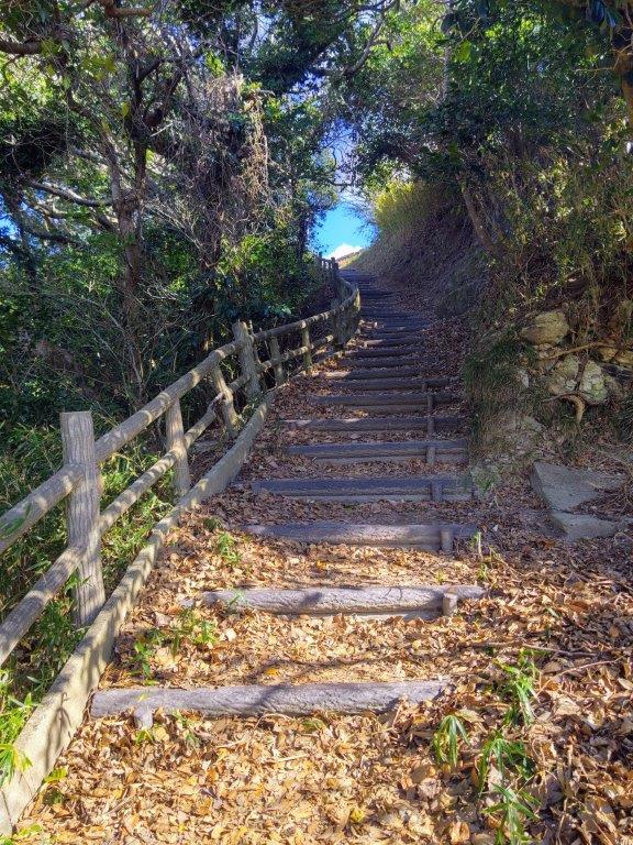
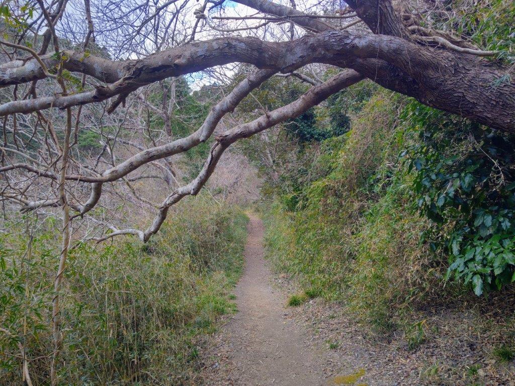
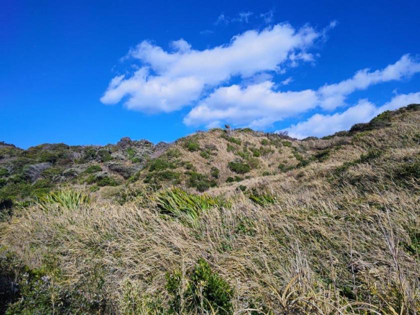
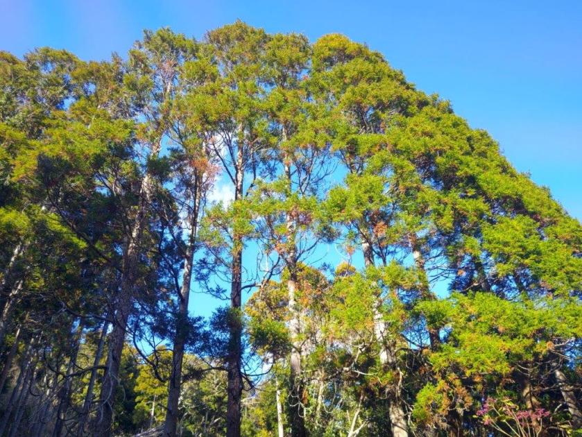
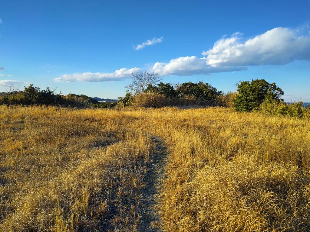
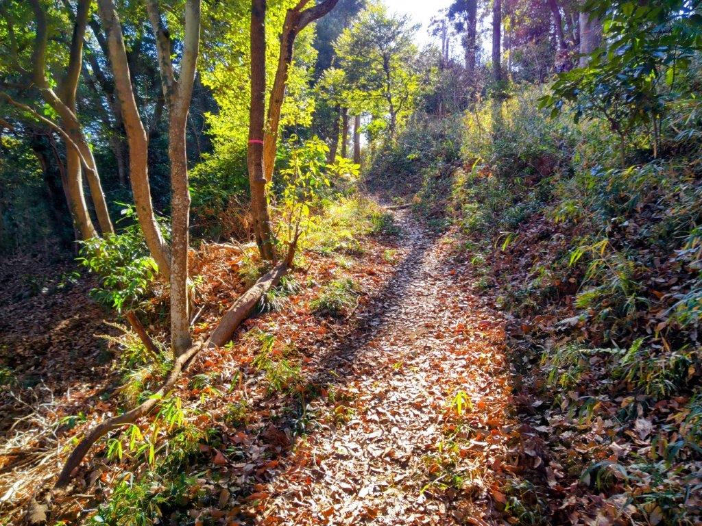
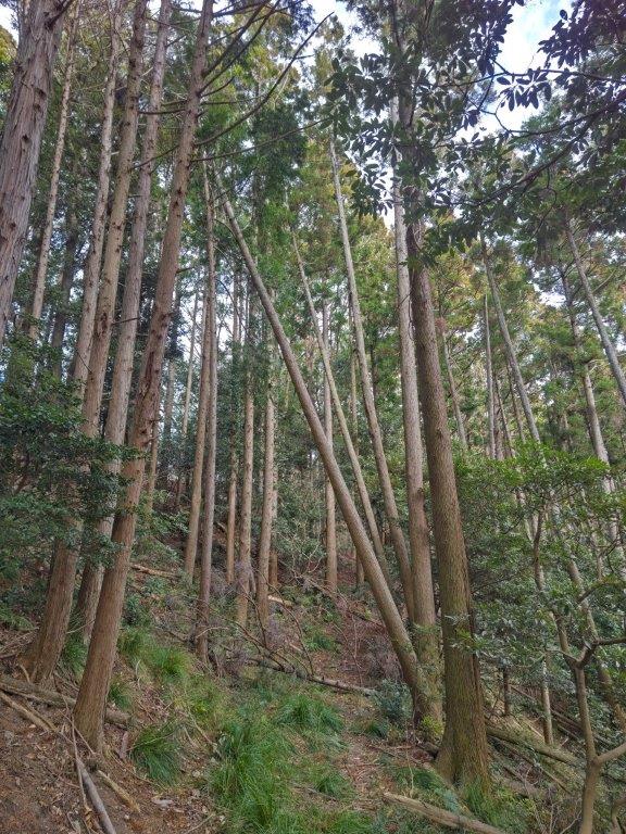
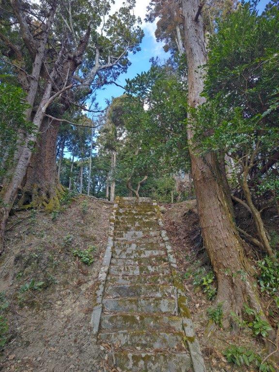
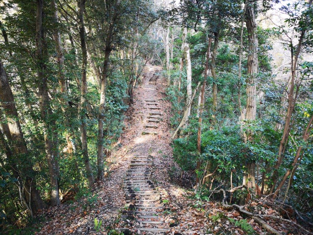
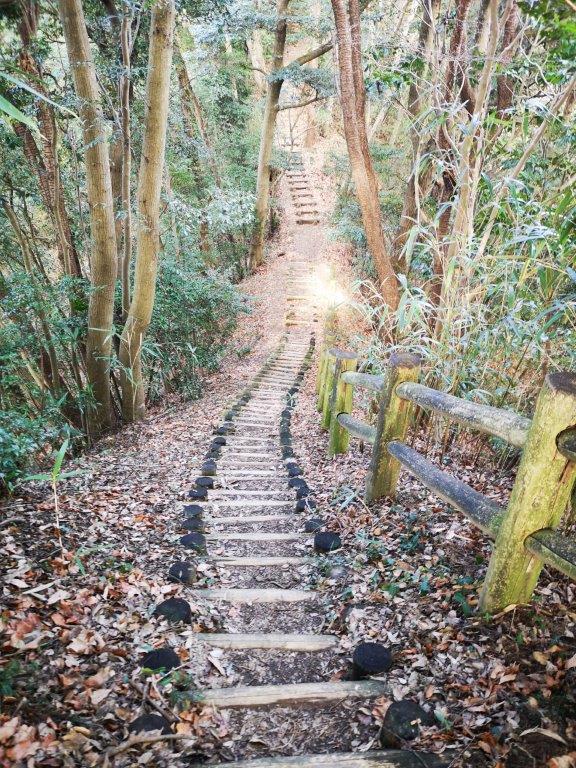
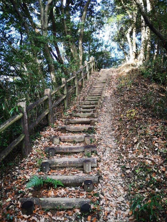
It was wonderful to be walking through the Satoyama scenery, a term that refers to the coexistence of nature and farmland. To the right, I could see the undulating ridgeline of today’s third and last mountain. I soon reached a junction where I turned right, but continued straight at a bend, passing left of a white shed and onto a hard to notice footpath, my phone GPS filling in for a missing sign. The path took me past a “mikan” orchard and into a forest of tall, vine-wrapped cedars, rays of sunlight lighting up the ferns on the forest floor. The forest was quite wild, and once again I was walking over, under and around fallen trees. After making my way up a steep, but thankfully short, switchback trail, I arrived at the base of some stone steps, at the top of which was a sign for Mineoka Uma-no-se (嶺岡馬の背 みねおかうまのせ meaning the horse’s back) past a rocky outcrop was a view of a wide valley ringed by low mountains.

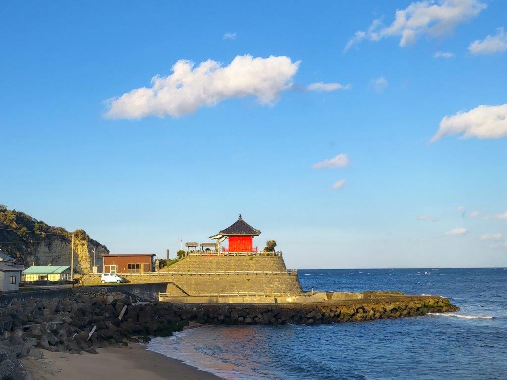
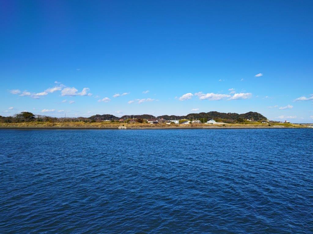
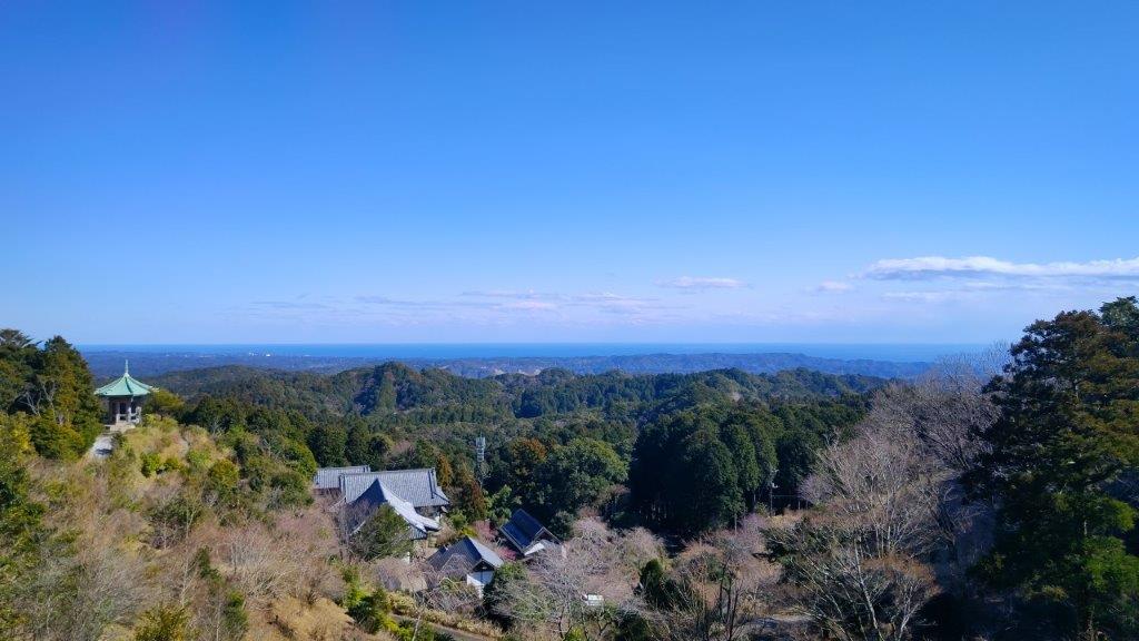
View of Kamogawa from above Atago Shrine
Walking through Countryside at the End of the Hike
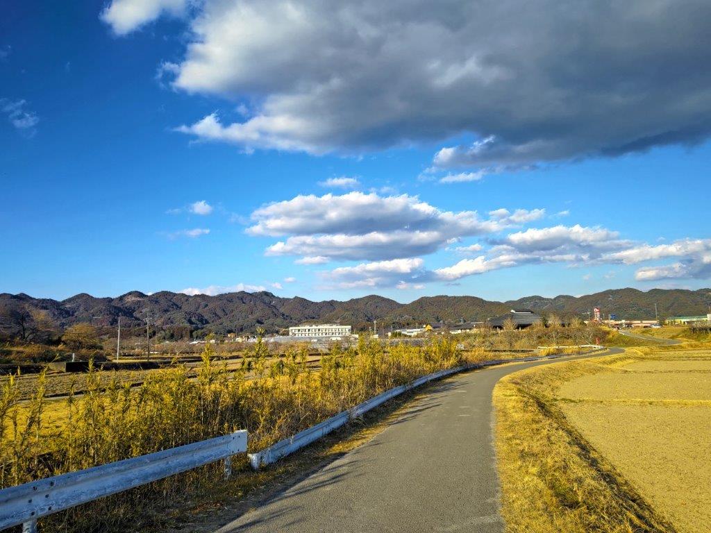
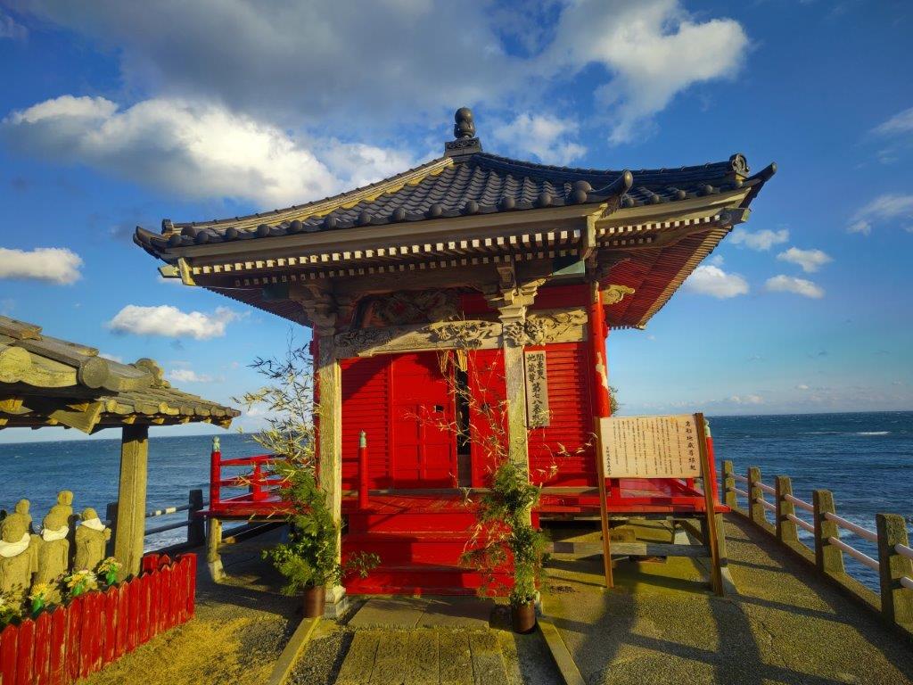
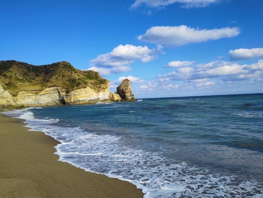
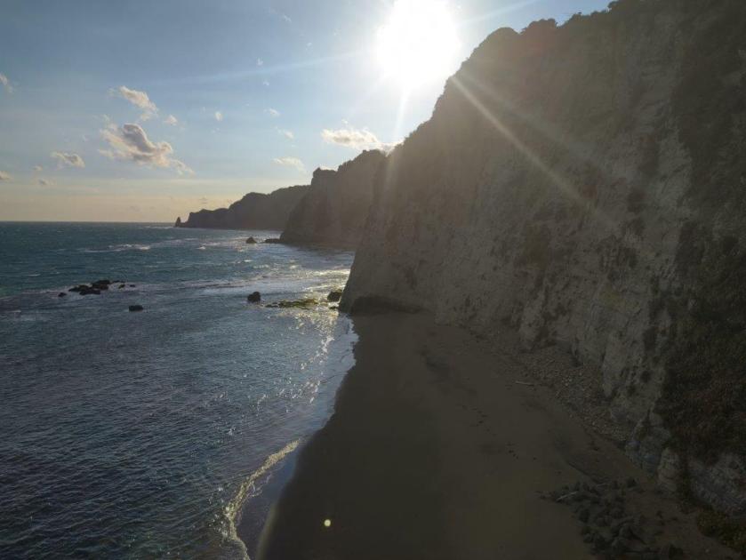
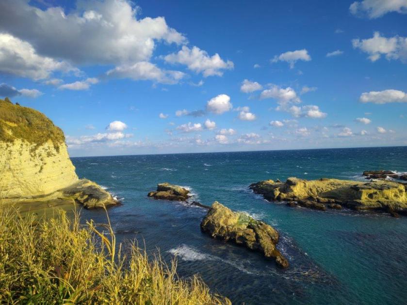
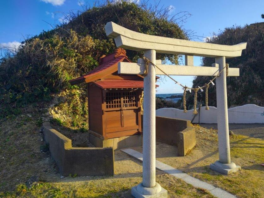
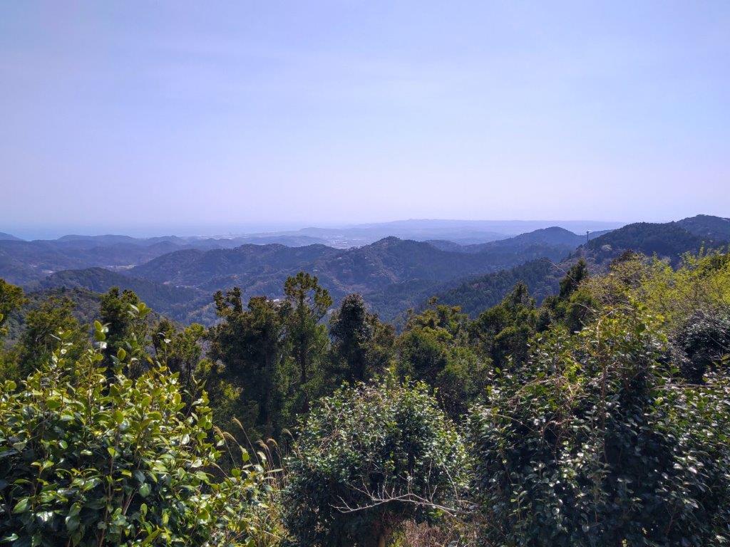
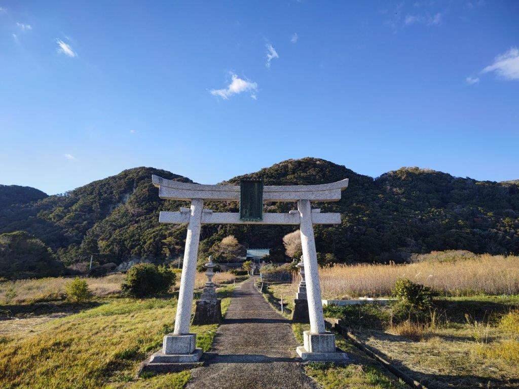
It seemed appropriate to climb a mountain with “horse” in its name in the year of the horse. Directly below, I could see the famous terraced rice fields of Oyama Senmaida (大山千枚田). After a short break, I followed the ridge trail eastwards through beautiful mixed forest. At 2h30, I reached another viewpoint on the north side from where I could see Kamogawa City and even the Pacific ocean. The path then descended steeply and in no time I arrived at Atago shrine (愛宕神社). I walked for another thirty minutes to the base of the valley, past empty rice fields resting till the spring planting. After arriving at a main road, I dropped by the nearby Kameda Brewery Store for some local sake tasting, then hopped on the bus for Awa-Kamogawa Station, my first time to take a train from there, and then boarded the Wakashio limited express for the 2 hour ride back to Tokyo.
Watch a Video of the Hike


See More Pictures of the Hike
![Onjuku Coast Walking Path, Onjuku Town and Isumi City, Chiba Prefecture, Saturday, January 10, 2026 [Highest Point 62m]](https://hikingtokyo.com/wp-content/uploads/2026/01/26.jpg?w=1024)


You must be logged in to post a comment.