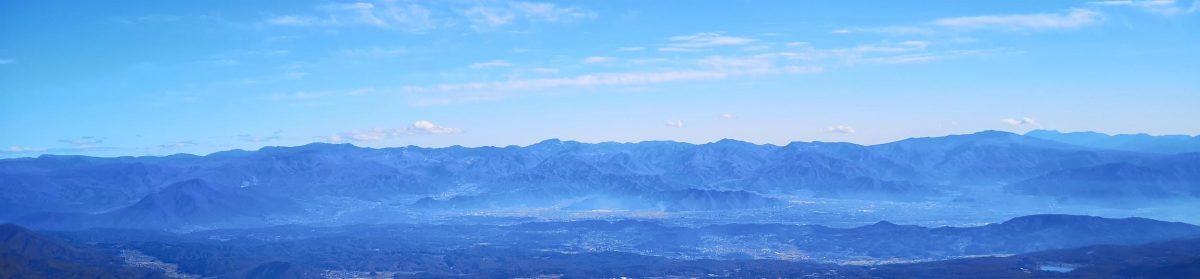
I wanted to further explore the Machida Footpath Network, a series of country walks linking the surviving satoyama, wooded valleys, farmland and old village roads of the Tama Hills. I had already walked the section from Aihara to Nanakuni Pass the previous year; this time, I’d traverse Oyamada Ryokuchi, a Tokyo Metropolitan Park on the southern flank of the Tama Hills, just south of the main watershed ridge separating the Tama and Tsurumi River basins. The highlight would be “Miharashi Hiroba” from where I could get a view of the Tanzawa mountains and Mt Fuji.
Hiking in the Tama Hills 多摩丘陵
To get to the start of the hike, I’d ride the Odakyu Tama line from Shinjuku to Karakida Station, a short walk to the north entrance of the park. After exiting the park’s southern entrance, I’d catch a bus for Machida station from a stop near Tsurumi river; from Machida, I’d ride the Odakyu Romance car back to Shinjuku. The weather was supposed to be sunny and warm, and I decided to start late to avoid the hottest time of the day. I was looking forward to enjoying one of the last fine days of Spring before the arrival of the hot and humid Japanese Summer.
Find my Hikes on Japanwilds
Find Japan Hiking Maps on Japanwilds and subscribe to our newsletter
Past Tonbo Pond (left) & Asaza Pond (right)
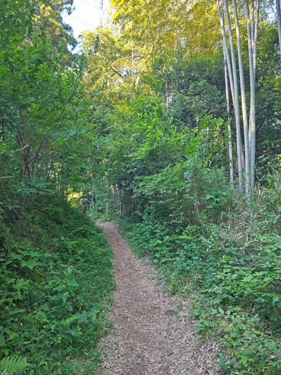
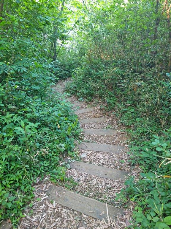
After Kiban Pass (left) & the Suspension Bridge (right)
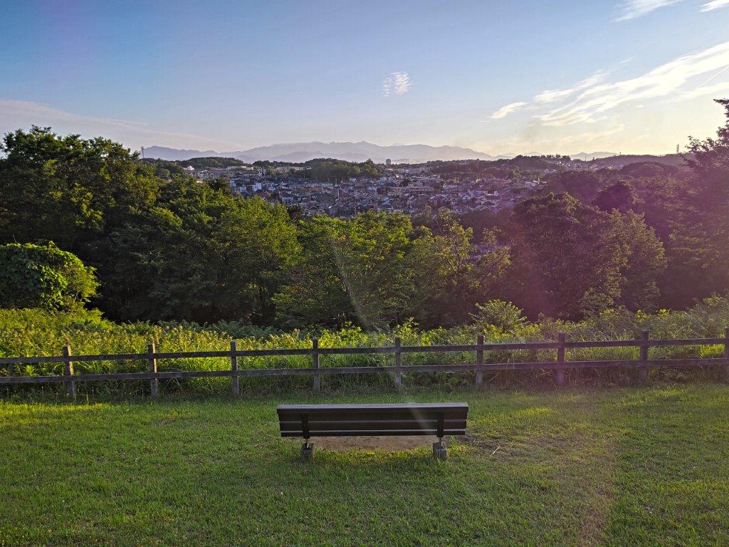
I arrived at Karakida station in the early afternoon after a 45 minute ride on an Odakyu express train from Shinjuku. After a light sandwich lunch at the nearby Komeda’s Coffee, I set off around 15h30, heading south, and soon reached the Yokoyama no Michi, hiked on my first outing of the year. I followed it eastwards for a short while before turning right at a fork at the top of a steep slope; back in January, it was covered in snow, but was now a vibrant green. I had arrived at the entrance of Oyamada Ryokuchi (小山田緑地), also the edge of the Tokyo Kokusai Golf Club. A short distance away, I reached a grassy open area a view on the southwestern side.
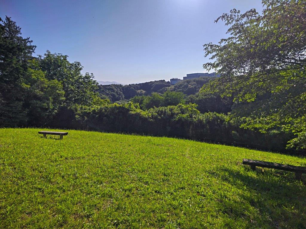
View towards the Tsurumi River Basin from the Yamanaka Park Annex
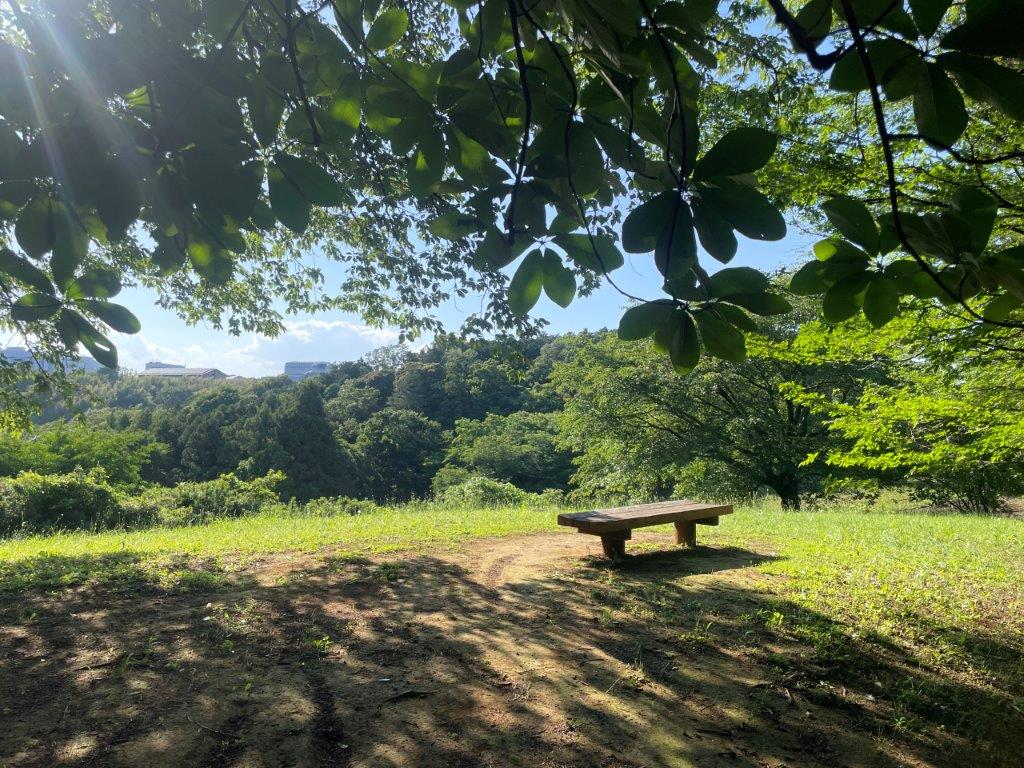
Some Shade on a Warm Spring Day
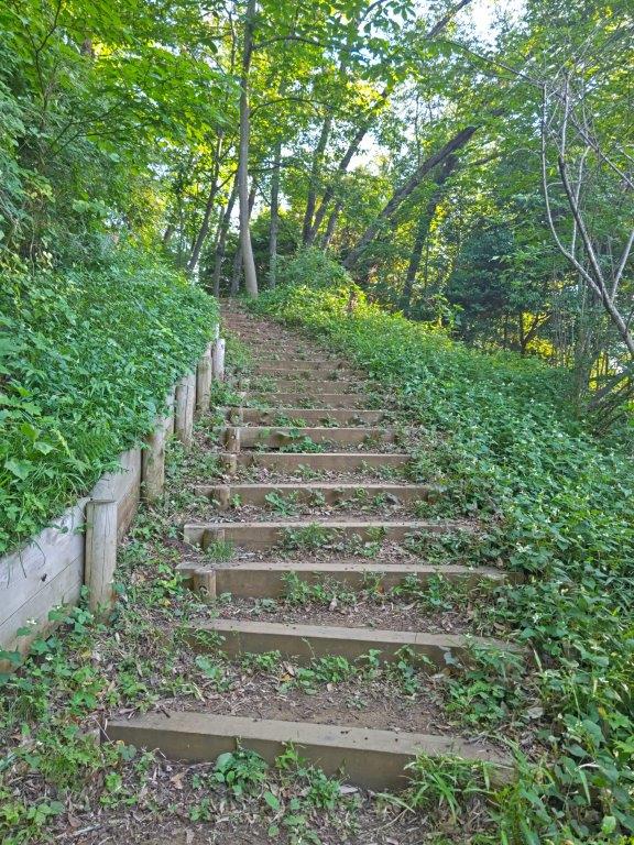
Beyond the well-kept lawn, I could see wooded ridgelines tumbling into the valley, with a glimpse of the Tanzawa mountains in the far distance; it was hard to believe that only moments before, I had been walking through a residential neighbourhood. At 147m, this was the highest point of the hike, on the watershed divide between two water basins. After admiring the view, I set off again at 4pm, now walking through the Yamanaka Park Annex (山中分園). I ventured down a wooden staircase to the right; this turned out to be a short detour allowing me to fully immerse myself in the wooded hillside, and I soon rejoined the main trail via a series of log steps.
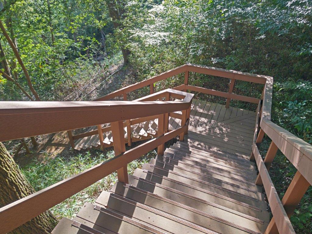
Wooden Staircase inside the Yamanaka Annex Park
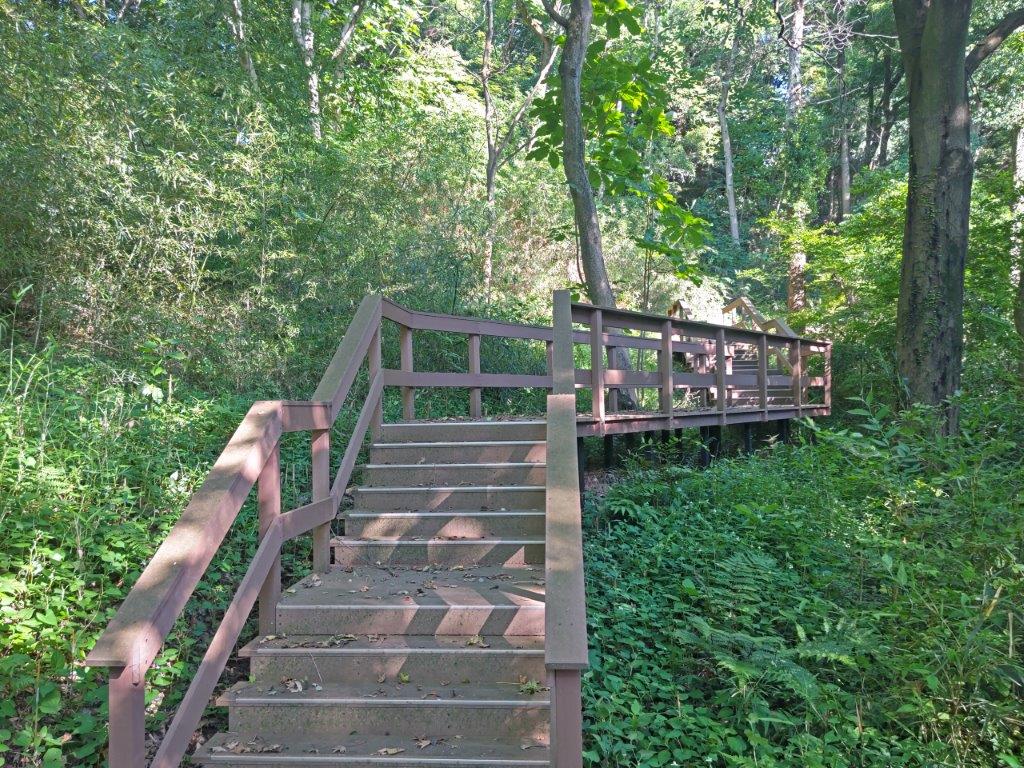
A Chance for some Green Immersion
Back on the main trail, I had glimpses of the golf course on the left side, few people playing at this late hour. I have often hiked alongside golf courses but today’s route actually cut through it a couple of times; I was glad I had chosen a late afternoon hike as stray balls could be a hazard during busy times. The path started to descend, passing a single, secluded cultivated field on the way; at 1630, I reached a wooden walkway leading to Tonbo Pond (トンボ池) in the Okubo Park Annex (大久保分園). The name means Dragonfly Pond although I saw none in this season. I’ll mostly remember this section for the berry-like fruit that had fallen from nearby trees making sections of the walkway a sticky mess. I then made my way up a hard to spot trail on the left side.
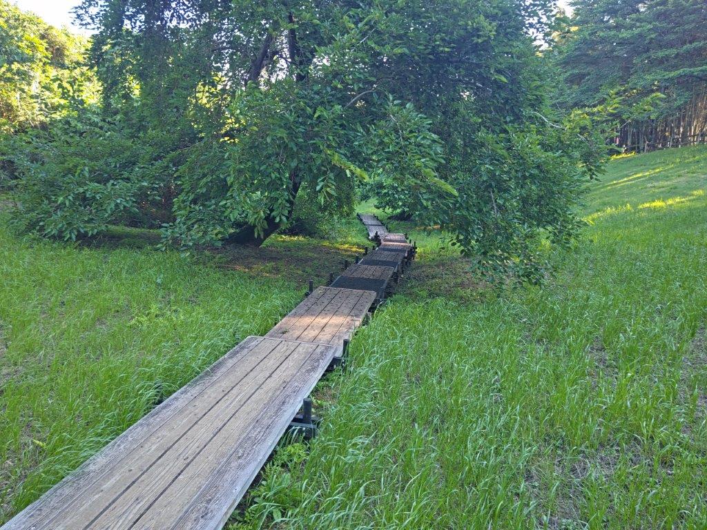
Walkway leading to Dragonfly Pond
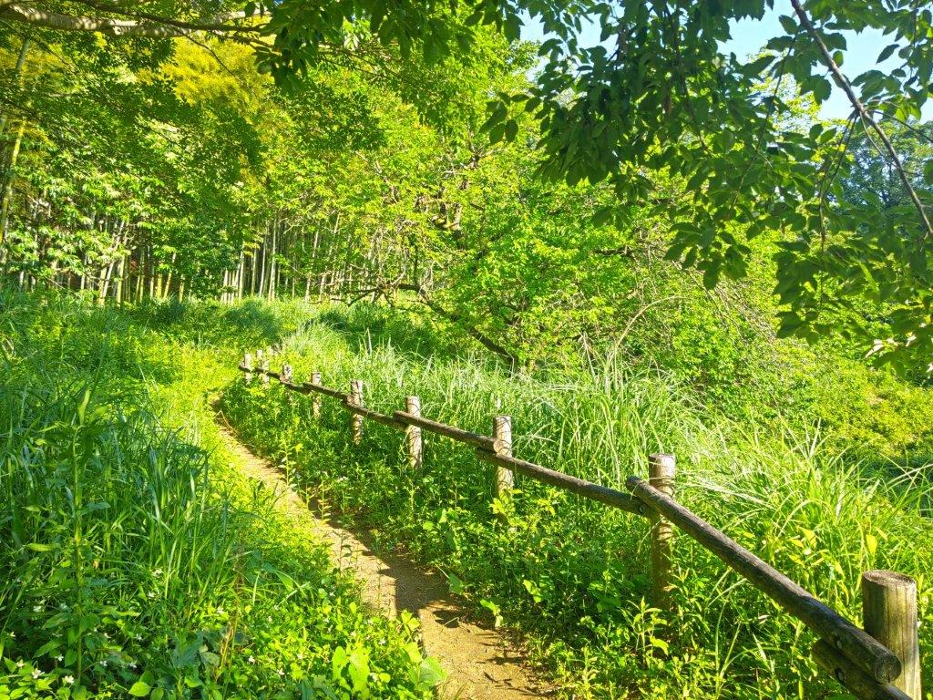
Walking along Oyama Slope
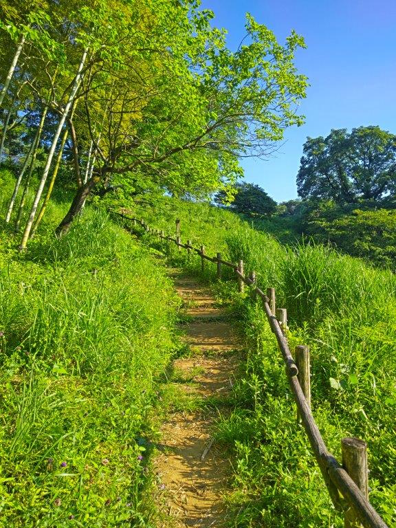
This was probably one of the best sections of today’s walk, feeling like a real hiking trail with sturdy stone markers and wooden railings. Very soon, an impressive bamboo grove appeared on my left side, swaying in the gentle spring breeze. At the next junction, I turned left and after passing a high point marked by an electric pylon, reached an open area; this is also the location of one of the park’s well-maintained public bathrooms, inside a wooden, discrete structure. I then turned right, down a paved road sandwiched between two golf greens. It ended at some recently planted rice fields or “tanbo“, reminding me of the Kishi Fields in the Sayama Hills. I turned left and at the end of the the terraced fields, arrived at the small Asaza Pond (アサザ池) meaning fringed water-lily pond, although none could be seen in this season. I continued without a break, up a series of log steps leading deep into the forest.
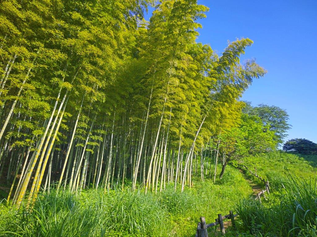
Green Bamboo and Light Blue Sky
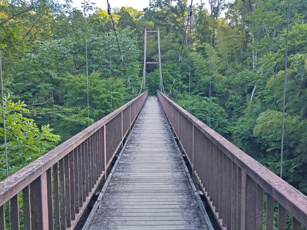
Suspension Bridge inside Umekikubo Park Annex
This was another section that felt more like a walk in the woods rather than a walk in the park, intersections marked by stone markers. I walked past Kiban Pass (きばん峠) but turned left at the next junction. I soon reached a suspension bridge (“tsuribashi“) across Hare Valley (うさぎ谷), a peaceful section of the the Umekikubo Park Annex (梅木窪分園), where one is completely surrounded by greenery. Past the bridge, a series of log steps took me back to the main path. A flat section followed by a short descent brought me to a road crossing beyond which was the main part of the park, as well as the Park Office. It was nearly 17h30, and although sunset was still a full hour away, I decided to pick up the pace.
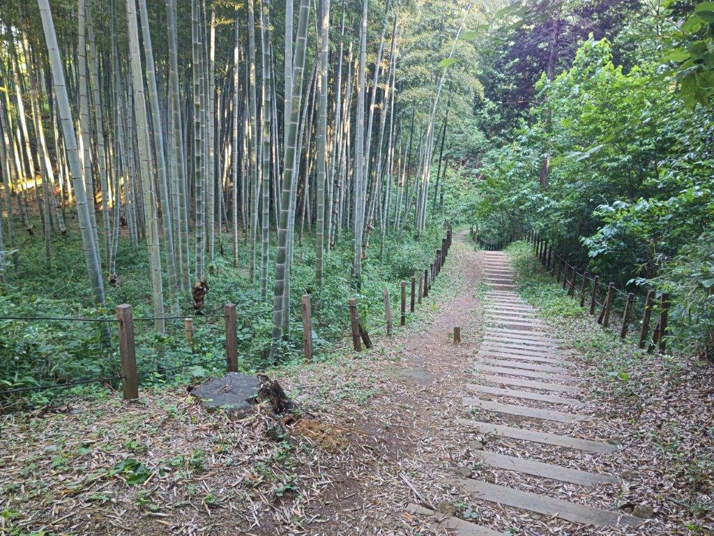
Log Steps alongside a Bamboo Grove
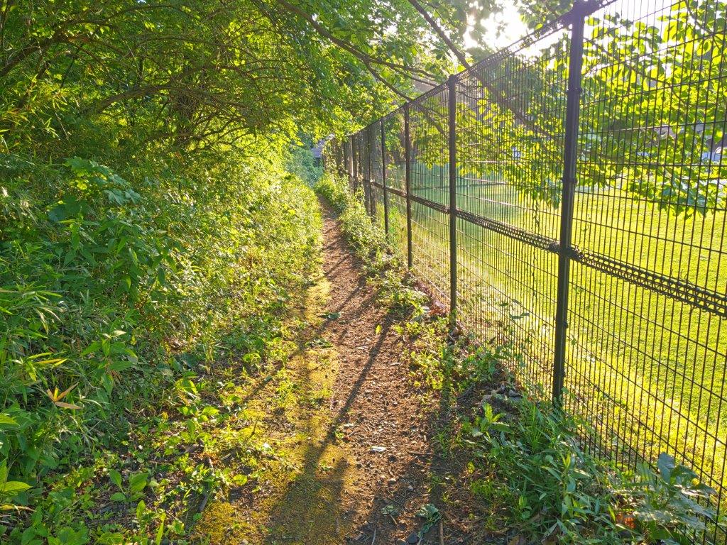
Skirting the Exercise Field
A series of log steps alongside a bamboo grove led me to a boardwalk through Oyamada-no-tani (小山田の谷), a narrow valley in the southeast corner of the park. I passed a series of ponds, Tame-ike, Kamii-ike, Shimo-ike, and Chosei-ike, before reaching a road and a parking lot at the southeastern edge of the park. Only pond skaters could be seen scooting on the water surface of the ponds, although viewing platforms suggested that other seasons may offer more to see. I retraced my steps and headed up a narrow path between the first and second ponds.
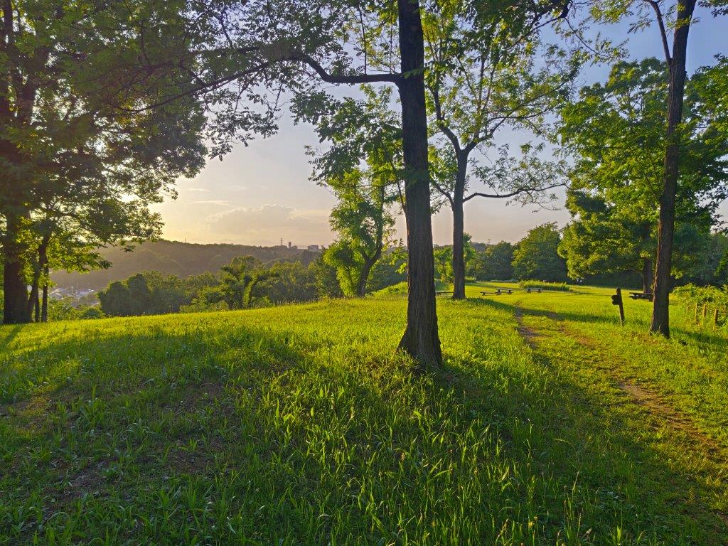
Arriving at Miharashi Hiroba
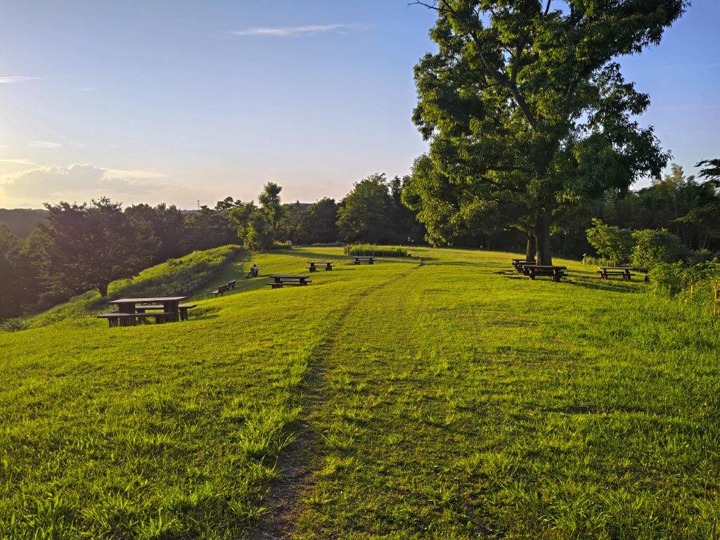
Mostly Empty at the End of the Day
I instinctively slipped into hiking mode, sweating slightly as I climbed out of the valley, thick vegetation crowding on both sides. Upon reaching a main trail along the top ridge, I turned left, circling clockwise around an exercise field with a protective fence on its south side. Here, I passed a wooden signpost for “Machida Footpath” confirming that I was following a section of the Zushi to Oyamada-Sakuradai route (図師から小山田桜台 ). A few minutes later, I reached Miharashi Hiroba Lookout Field (みはらし広場), the day’s main attraction.
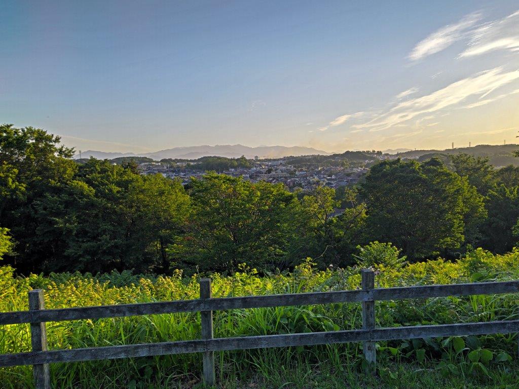
View of Tanzawa from Miharashi Hiroba
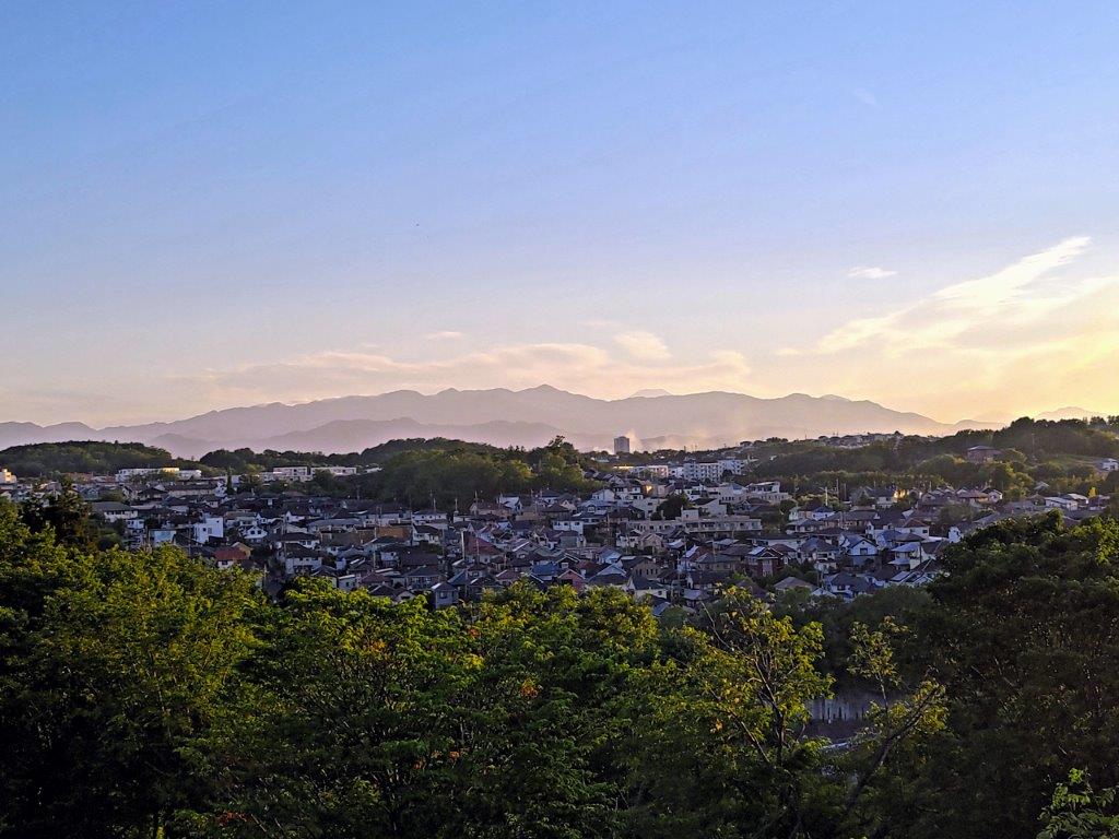
Mt Hirugatake (left) & Mt Fuji (right)
Looking southwest, I had a view of the Tanzawa mountains, clearly defined in the late afternoon light; to the right of Mt Hiru, the highest peak, I could just make out the snowy summit of Mt Fuji. A few picnic tables and benches dotted the grassy area, including a few under leafy trees, making this a good picnic spot. I took a break at one of the benches as the sun slowly sunk behind the clouds, enjoying the solitude of this isolated spot. Although visibility was still good in the open space, I knew it would be getting dark inside the forest. I pulled myself away from the imminent sunset and hurried down the hillside to an entrance on the south side of the park.
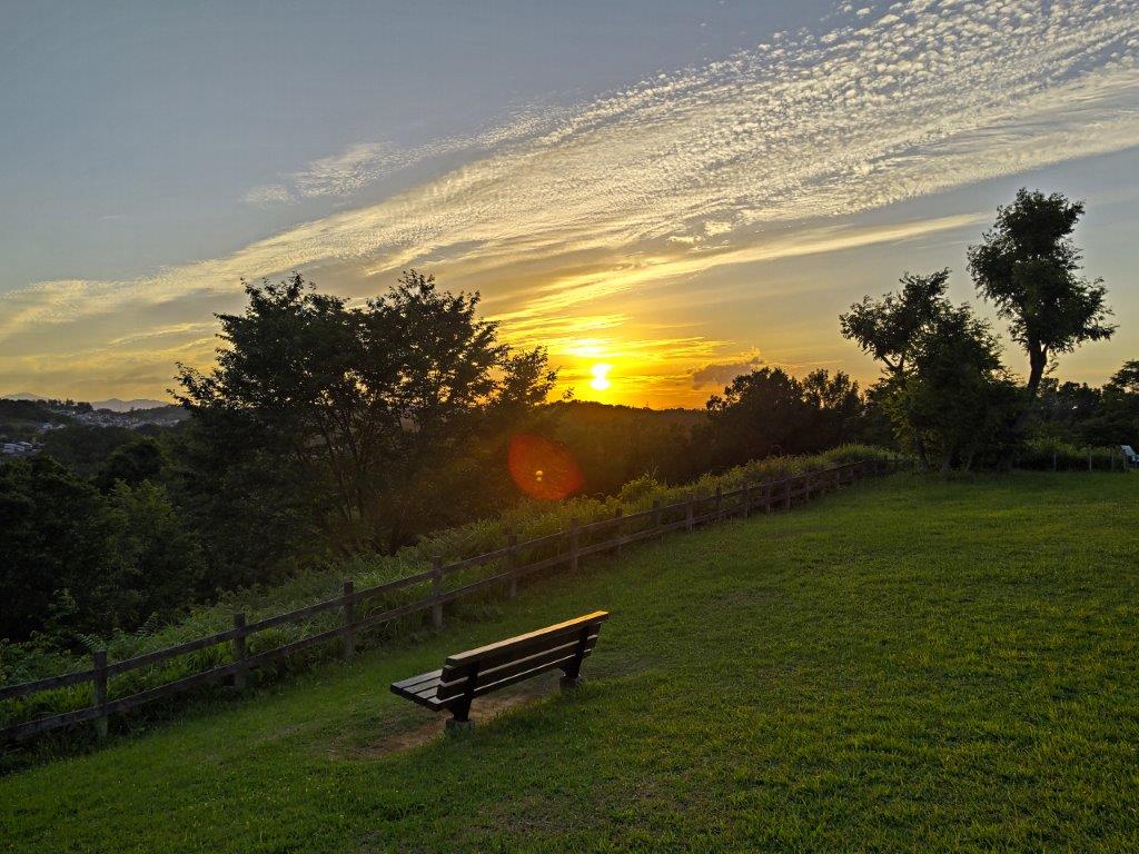
Setting Sun from Miharashi Hiroba
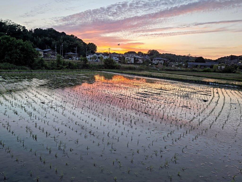
Sunset Reflected on a Rice Field near Tsurumi River
The light was fading fast but I decided to ignore a nearby bus stop and continue my hike a little longer. Beyond a main road, I rejoined the Tsurumi river which I followed for a while, taking back lanes and faint footpaths at the edge of rice fields. Finally, I made my way to the Sakurabashi stop (桜橋) where I caught a bus shortly before 7pm for the half an hour ride to Machida Station; there, I hopped on the Odakyu Romance car for the thirty-minute trip back to Shinjuku.
Watch a Video of the Hike

