Mt Koteya (512m), Otawara City, Tochigi Prefecture, Sunday, March 19, 2023

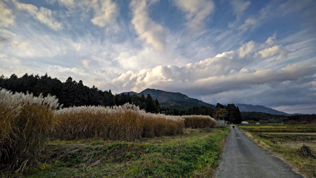
I wanted to do some more hiking on the Abukuma Plateau, since I had a great view of it the previous week. Although, I had exhausted all day trip options from my guidebooks, I found a promising peak by examining my maps, east of Mt Takahara and southwest of Mt Yamizo. The hike was up and down the same way and the highest point was next to a road and a parking lot, meaning I wouldn’t have the summit to myself this time. I could get there by taking the shinkansen to Utsunomiya, then take the local line to Nishi-Nasuno, and there catch a bus for Otawara City; on the return, I would do the same route in reverse. The weather was once again supposed to be sunny all day long, and so I was looking forward to exploring a new area and seeing some familiar mountains from new angles.

View of Mt Takahara from the top of Mt Koteya

View of Mt Nasu from halfway up Mt Koteya

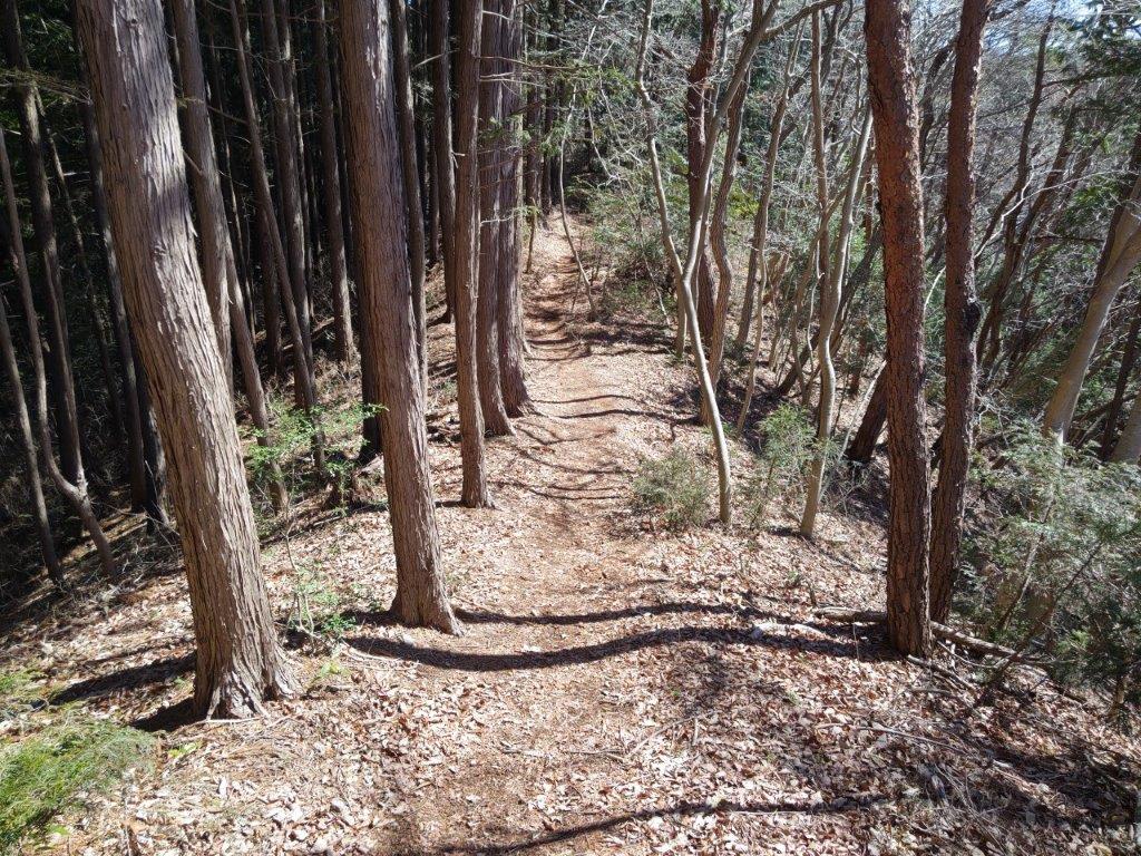
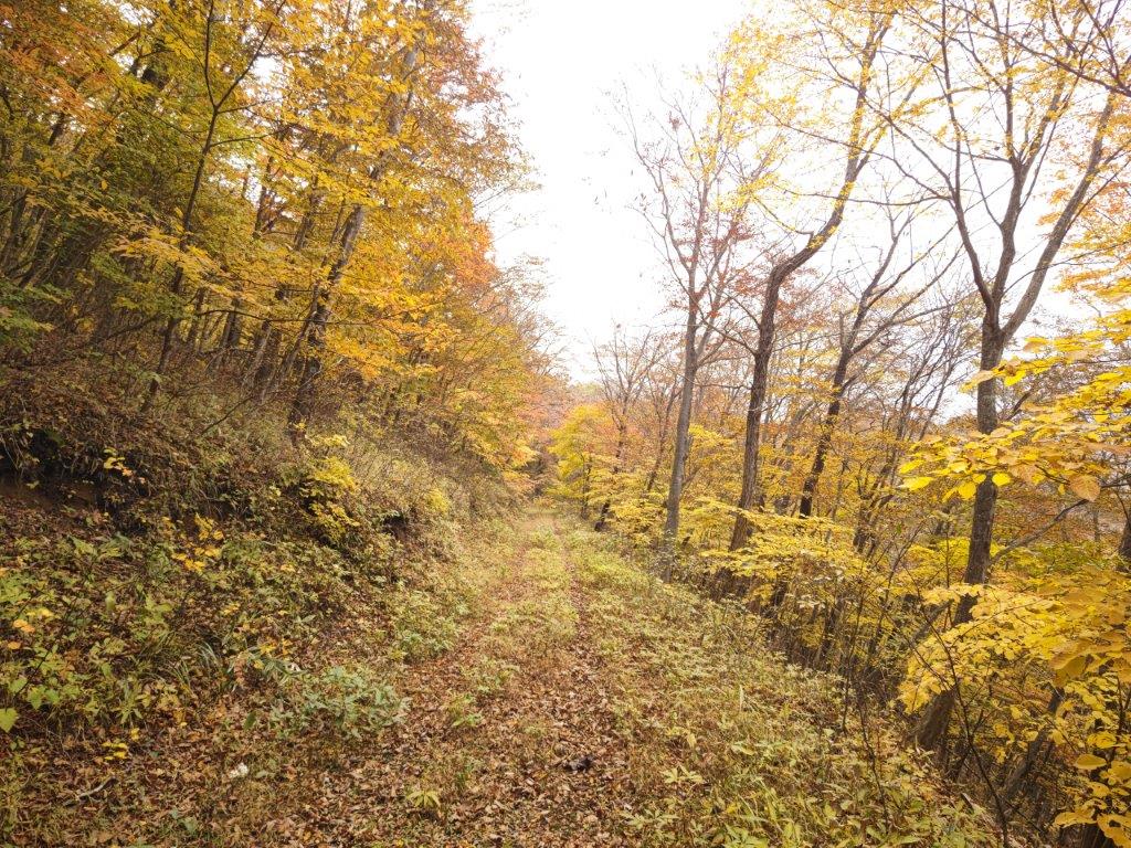
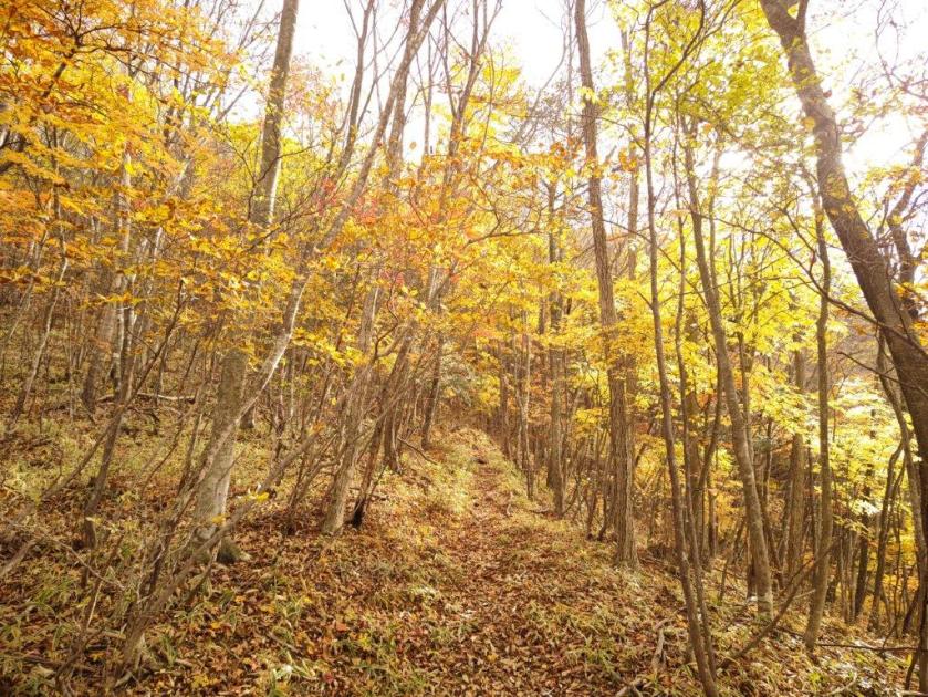
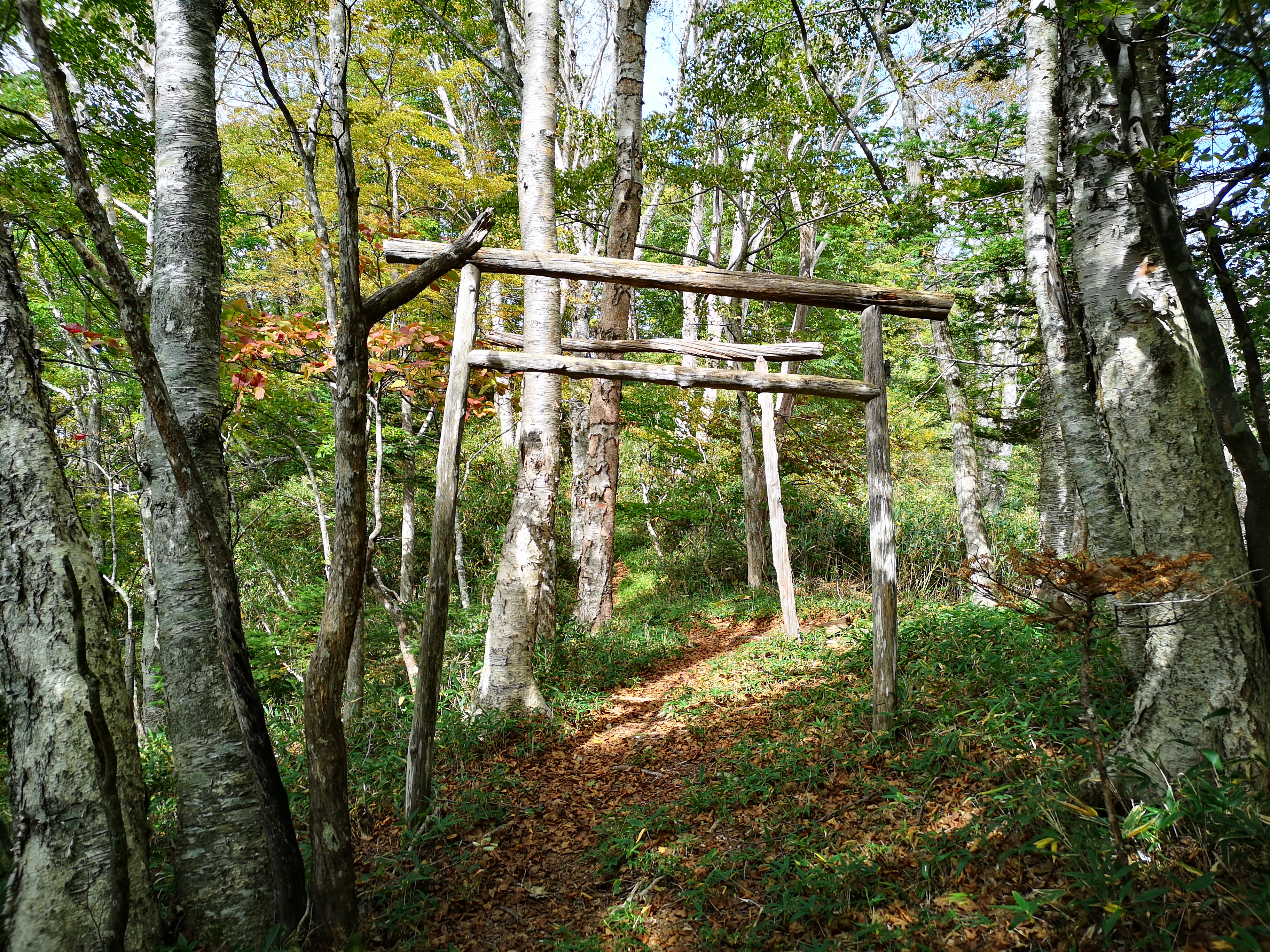
It was another perfect blue-sky day as I got off the empty bus a little after 11am. On the way to the trailhead, I stopped by a conveniently located 7/11 to buy some last minutes supplies, and was finally ready to start hiking just before noon. I went under a stone Shinto gate and walked up a long staircase, at the top of which I passed the lonely Atago Shrine on the left. I then followed the path surrounded by tall cedars, the winter sun filtering through the treetops. After some ups and downs, I reached an area clear of trees just before 1am.

Start of the trail (left) walking through the cedars (right)

An easy hike on a sunny winter day

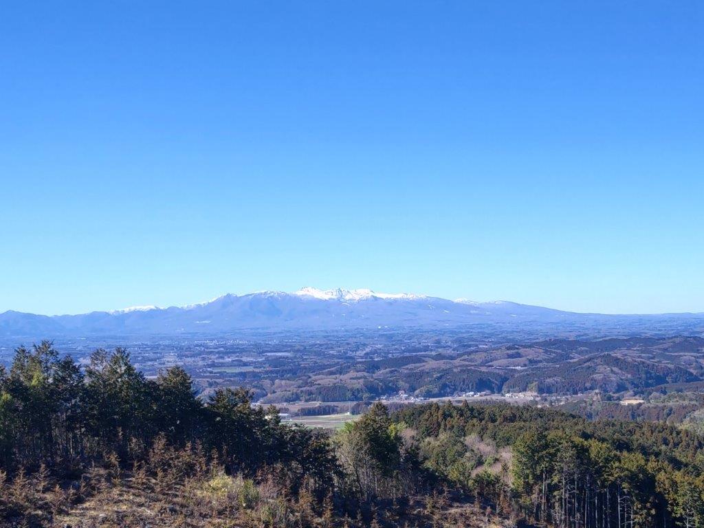
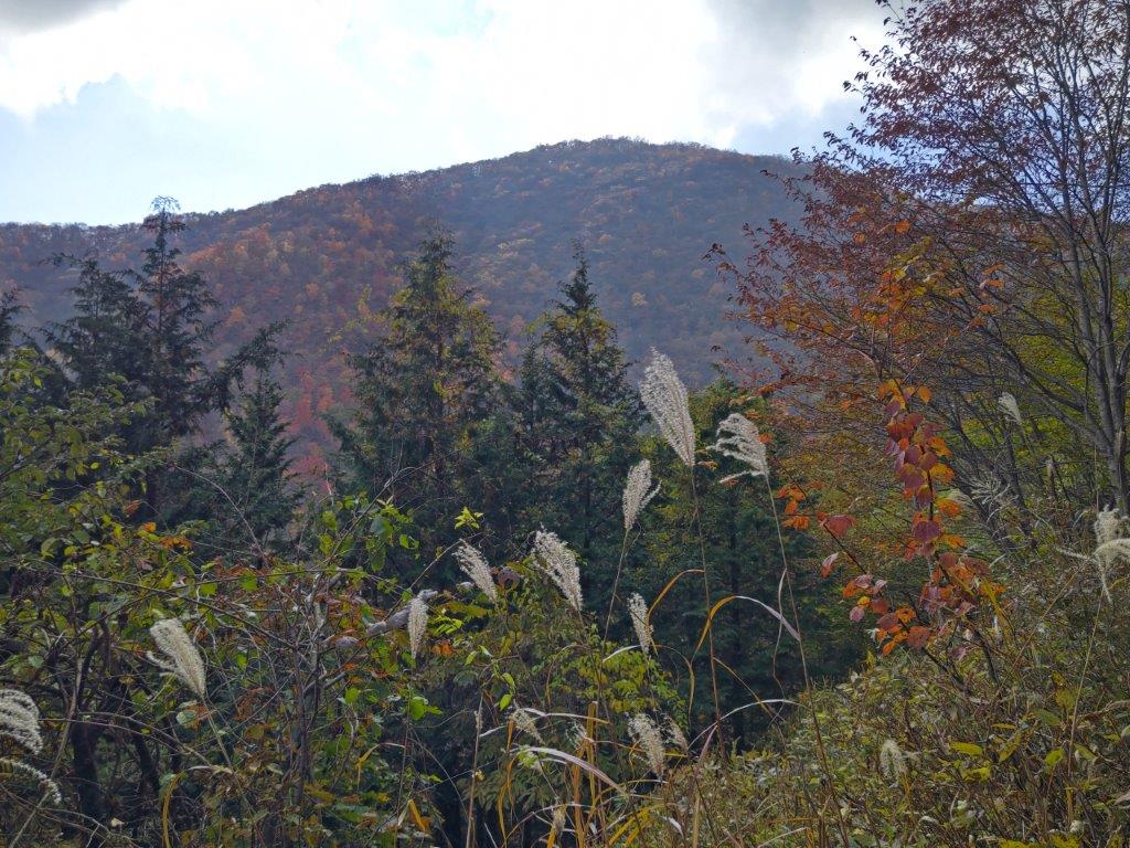
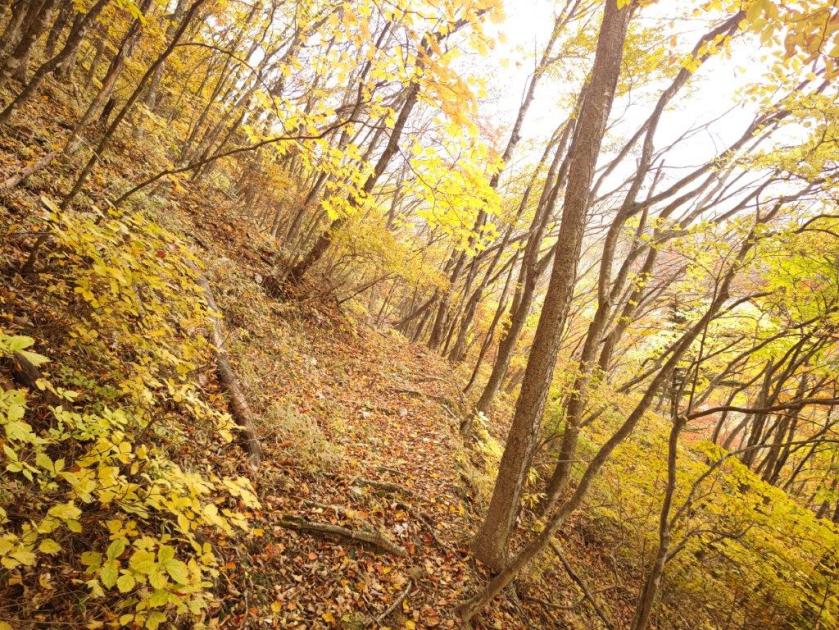
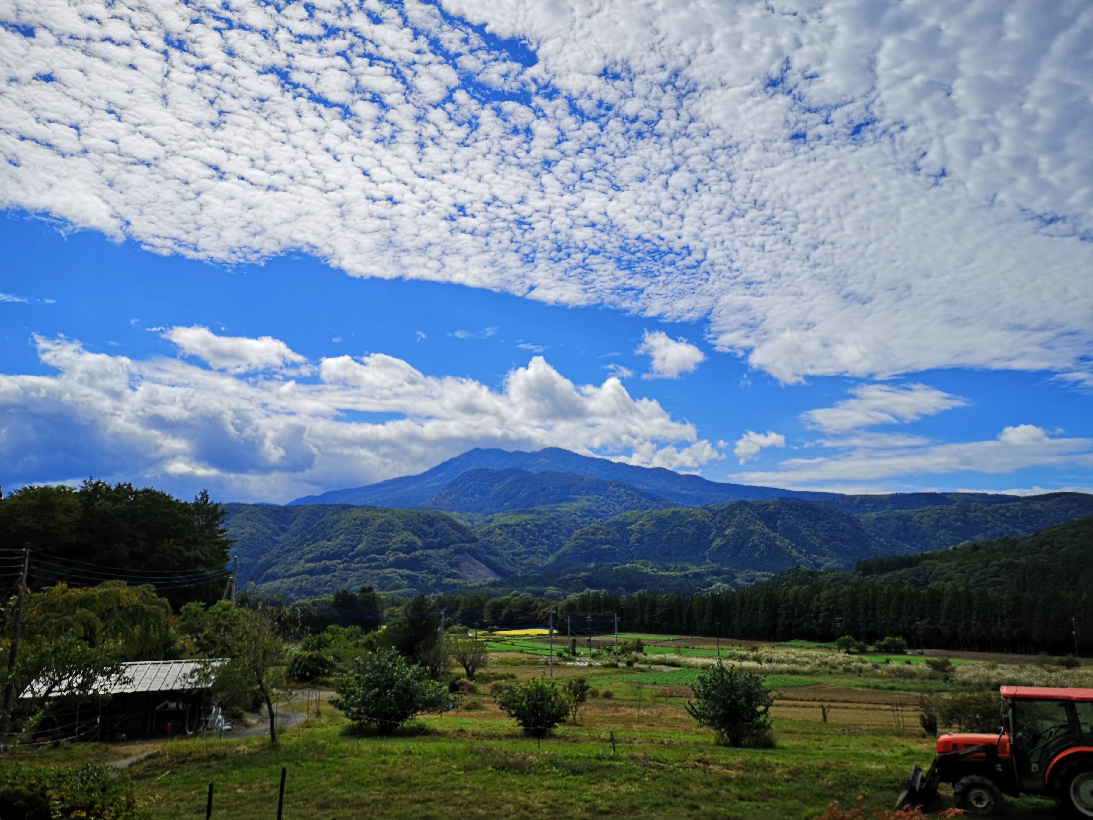
To the west, I had a fantastic view of Mt Nasu, its highest peaks still covered in snow; looking north, I could make out the more discrete shape of Mt Yamizo, the highest peak of the Abukuma Plateau. After taking in the view, I continued along the gently climbing and easy to walk trail. Half an hour later, I emerged onto a road which I followed a short way before reentering the forest. Here, I encountered the steepest section of the hike: although short, it was a scramble, even in dry weather. A few minutes later I arrived at a open shelter.

View towards Mt Yamizo around the half way point

View towards Fukushima Prefecture

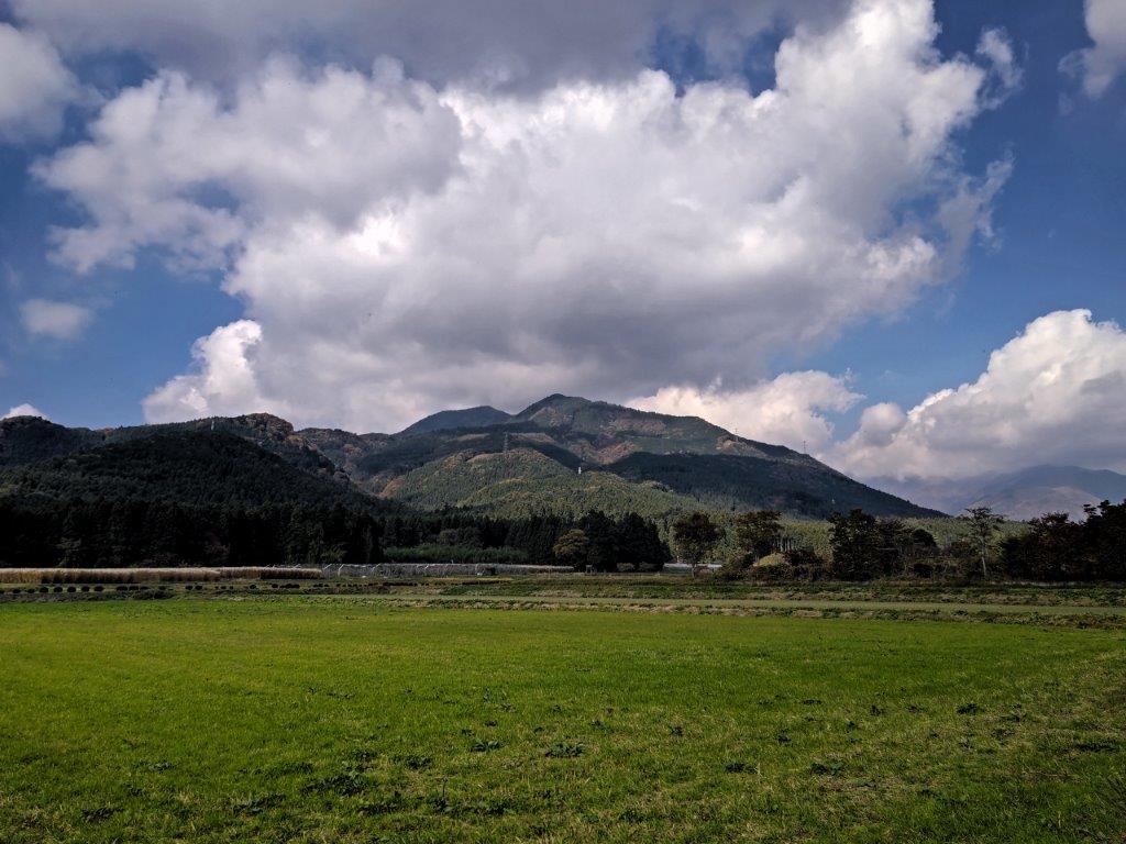
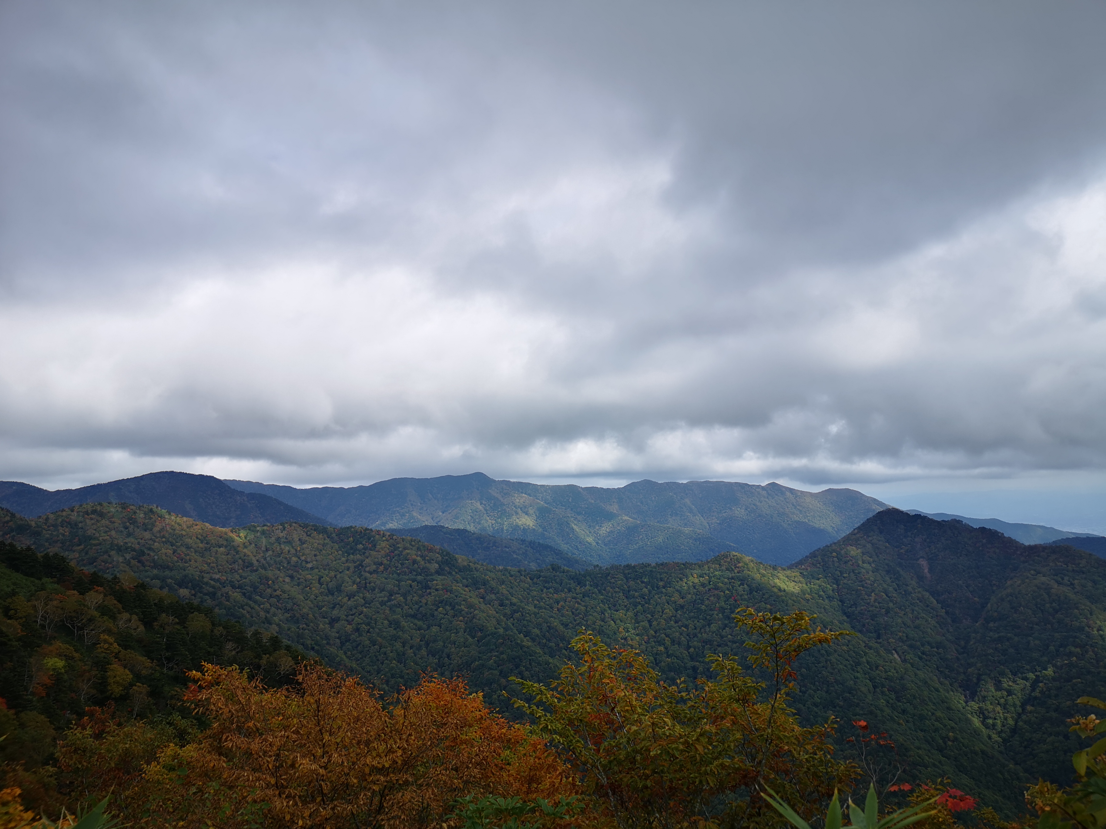
Looking west, I had an excellent view of Mt Takahara, specks of white visible on its highest points. I soon moved on, and at the top of a grassy staircase, reached the summit of Mt Koteya (御亭山 こてやさん koteyasan). I had a view on the west side, stretching from Mt Tsubasa to the Oku-Nikko mountains, their tops hidden by clouds; in between lay the vast Kanto plain; on the opposite side, I could make out Mt Yamizo, just visible above the trees. It was nearly 2pm, so I sat on one of the benches scattered around the wide grassy summit for a lunch break.

View of Mt Nasu

View of Mt Hirugatake & Mt Kurotaki (left) and Mt Nasu (right)

It was more peaceful than I had imagined with only one other person venturing to the top from the nearby parking lot. After lunch, I made my way down to the road, and after checking out another viewpoint behind the parking lot, walked back a short way along the road so that I could skip the steep slippery section just below the summit; traffic was light, and I was rewarded with extra views through the trees. Half an hour later, I was back at the clearing passed on the way up.

Last short climb to the summit

View towards Nikko from the summit

After enjoying the view again, slightly different in the afternoon light, I continued down through the forest. Shortly before Atago shrine, I took an alternative path on the right, ending at a small lane on the north side of the mountain. At 3h30 I was back at the trail entrance; since I had about 30 minutes before the return bus, I paid a a quick visit to the nearby Daiyuji Temple and its statues with various interesting facial expressions. On the way back to the bus stop, I had one last view of Mt Takahara from Yakumo shrine.

Heading back down through the forest

View of Mt Takahara from Yakumo shrine

This was another short hike, under 4 hours, but the superb views from half way up and the summit made it entirely worthwhile. It might be interesting to return one day by car to explore the area some more.

See a video of the Mt Koteya hike

Mt Yasuto (1151m), Nasu-Shiobara City, Tochigi Prefecture, Thursday, November 3rd, 2022 [Map Available]

Hiking in the Nikko National Park 日光国立公園

Hiking with the Tokyo Wide Pass

View of Mt Yasuto near the start of the hike

River crossing near the start of the hiking trail

Get a Map of the Mt Yasuto Hike

This map was developed for Japanwilds with the Hokkaido Cartographer

Find more Japan Hiking Maps on Avenza

The weather was supposed to be good for the 3-day period starting with Culture Day, a national holiday in Japan, so I decided to buy a Tokyo Wide Pass. For my trip I decided to climb a mountain from my Hiking in the Tochigi mountains guidebook located between Shiobara and Nasu mountain, inside the Nikko National Park. Apparently the previous emperor also climbed it at one time. I rode the shinkansen to Nasu-Shiobara station where I transferred to a local train for Nishi-Nasuno, the next station on the line; there, I caught a bus for Agripal Highland which I reached a little before 11am.

Beautiful autumn colours below the summit ridge

Stunning momiji tree just before the steep climb to the top

I had some good views of today’s mountain as I walked 40 minutes along country lanes to the trail entrance. I followed a well-maintained, but poorly signposted trail up the side of the mountain. At 1pm, the trail connected with the end of a forest road, which I would later follow on the way down. For now, I followed the trail through a stunning forest of yellow, orange and red leaves. After climbing a steep slope, roped for safety, I arrived at the narrow top of Mt Yasuto (安戸山 やすとやま yasutoyama), a Tochigi 100 famous mountain, just before 2pm, a peaceful place surrounded by trees.

More colours along the undulating ridgeline

A peaceful trail through the forest

The trail continued along the undulating ridgeline and eventually, a little before 3pm, merged with the forest road, which I followed for about half an hour, before leaving it for an easy-to-miss hiking trail on the left side. It took another half an hour of relaxing hiking to reach Takahachimangu shrine (鷹八幡宮) at the foot of the mountain; supposedly, there was a viewpoint along the way but I completely missed it. From there, it was a short walk through the fields back to the roadside station at Agripal Highland, which I reached at around 4pm.

Merging with the forest trail below the summit

Walking through the fields back to the bus stop

The amazing autumn colours more than made up for the lack of views on this hike. Moreover, I didn’t see a soul on the trail, apart from a small brown frog hiding among the fallen leaves. After catching the bus back to Nishi-Nasuno, I had a quick soak at the nearby Nogi Onsen before heading back to Nasu-Shiobara for the 90-minute shinkansen ride back to Tokyo.

Watch a video of the autumn colours on the Mt Yasuto hike

View a slideshow of some more photos of the Mt Yasuto hike

Mt Hiruga (1848m), Nasushiobara City, Tochigi Prefecture, October 2020

This was a fairly remote mountain situated 150 kilometers directly north of Tokyo. Fortunately, the bus times lined up with the train times, so this hike could be done as a long daytrip. This time, I wasn’t concerned about the weather: the forecast announced sun, then clouds, followed by rain after nightfall. My main concern was whether I could complete an 8h30 hike, according to my guidebook, in six hours. If it took me any longer, I would be forced to take a longer and more inconvenient route back to Tokyo. Finally, I was hoping that I would still be able to see some beautiful autumn colours.

Hiking in the Nikko National Park 日光国立公園

View below the summit before the clouds rolled in

After getting off at Kami-Miyorishiobara-Onsenguchi Station (long name but characteristic of the area), I boarded the diminutive “Yu~ bus” for the short ride to the start of the trail. I was the sole passenger; the conductor was friendly and chatted with me about my plans for the day. The start of the hike was along a small road; I saw famers harvesting rice, and also rescued a praying mantis from a precarious position (see video). Around 10am, I was finally on the hiking path. After a short climb, I reached a level forest road which I followed for about 15 minutes. The sun was shining and I had some good views on the right side.

View of Mt Takahara from the entrance of the hiking trail

Just before 11am, I reached the end of the forest road and was back on the hiking trail. It went up and down through mixed forest. At times, the trail was faint and I had to be careful not to lose it. It was very peaceful and there were no other hikers. Half an hour later, I reached the start of a long climb. Another half an hour later and 400 meters higher, I was hiking through a very different kind of forest. On my map it was called “Asunaro no mori” (アスナロの森 – Thujopsis forest, a kind of conifer). The path, following a ridge as it curved northwest to northeast, was mostly flat, allowing me to enjoy the surrounding vegetation. At one point, I had a glimpse of the summit through a break in the trees.

Shinto gate on the trail

Around noon, I passed under a solitary Shinto gate, placed on the trail for no apparent reason. From here, the trail started to edge upwards again, and the conifers made way to beech trees. This section was incredibly beautiful, the trees trunks twisting themselves into interesting shapes; although I was near the top of the mountain, I felt like I was walking through a wood in the countryside. I was, after all, hiking at the very edge of the Nikko National Park. Around 12:30, the path got steeper, and I thought I was reaching the top, but fifteen minutes later, I emerged onto a shoulder with a view of the summit, still some way ahead. This pattern repeated itself a few more times, during which I passed another hiker on his way down. The sky had become overcast. On the bright side, the autumn colours were still on full display.

Hiking among the beech trees

At 1pm, I finally reached the top of Mt Hiruga (日留賀岳 ひるがたけ), a Kanto hundred famous mountain, just as the mist was rolling in. I had a brief glimpse of the view before the world turned white. I had a quick lunch next to the summit shrine, and then started to descend the same way. It had taken me three hours to reach the top, so I had ample time to get down. However, if I got down early enough, I would be able to take a hot bath before the long trip back. The path was easy to walk so I was able to run most of the way. The forest was eerily quiet, save for the occasional barking of deer, and gloomy; it felt like it could start raining at any moment. I reached the trail entrance a couple of hours later, and thirty minutes later I was at Hana no Yu. After a quick, but satisfying bath, I hopped onto the empty bus for the train station. As I entered the station building, it started to rain, so I counted myself doubly luckily that I finished the hike on time and dry!

Watch the Praying Mantis Rescue video (1:08 minutes)